 Block
Sikeston, Missouri
14 topographic sheets cover this place, the earliest surveyed in 1931 and the latest in 1985. It stands in Richland Township. It lies in ZIP code area 63801. The Survey maps it on the Sikeston North quadrangle. 16,291 people lived here at the 2020 count. It stands 328 feet above sea level.
On record in Sikeston
Buildings and businesses the archive holds for this place. Each opens its own page, with the source record it came from.
On the National Register 3 records
 Sikeston St. Louis, Iron Mountain and Southern Railway Depotlisted 2000
- Lincoln Schoollisted 2024
- Marshall Hotellisted 1984
Population over time
2 figuresSikeston fell from 16,318 to 16,291 between 2010 and 2020. These are the recorded population figures Wikidata holds for this place, reached through the Geographic Names Information System number this page is keyed on rather than by name, so they belong to this place and not to another of the same name. Most are census counts, but not all are: an early figure may be a founding or settlement estimate, and an estimate published within five years of a census is left out. The change column is computed, and is left blank where more than 20 years separate a figure from the one before it, because a gap that long is not a change between two counts.
| Year | People | Change |
|---|---|---|
| 2010 | 16,318 | |
| 2020 | 16,291 | -27 (-0%) |
Topographic sheets covering this place
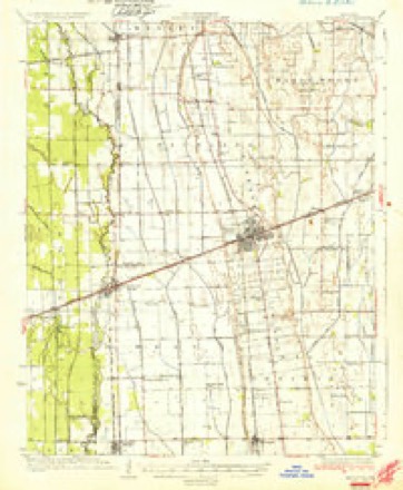
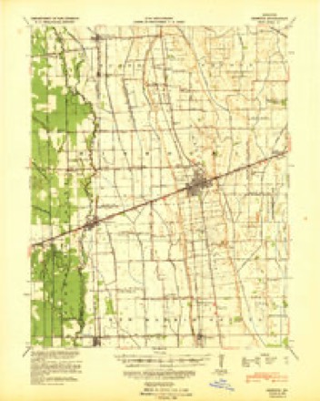
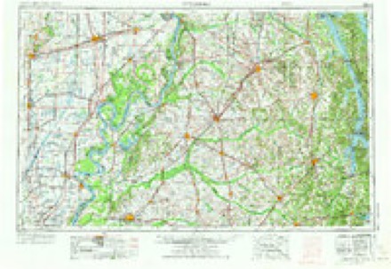
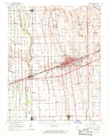
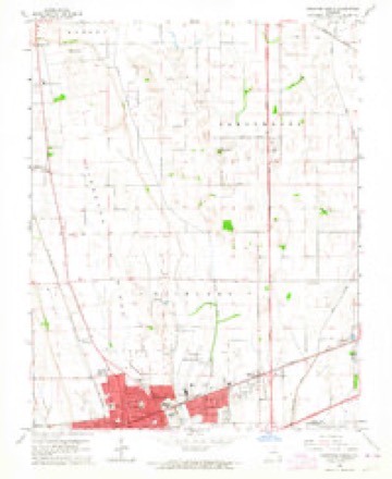
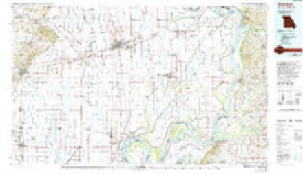
7 surveys from 14 printed sheetsMatched by testing this settlement's coordinate against the published boundary of every sheet in the United States Geological Survey's historical collection. Each opens the scanned sheet at the Survey.
- 1931 USGS Sikeston quadrangle1:62500, 2 printings
- 1934 USGS Sikeston quadrangle1:62500, 2 printings
- 1939 USGS Sikeston quadrangle1:62500
- 1956 USGS Dyersburg quadrangle1:250000, 4 printings
- 1963 USGS Sikeston quadrangle1:62500
- 1963 USGS Sikeston North quadrangle1:24000, 2 printings
- 1985 USGS Sikeston quadrangle1:100000, 2 printings

Mines and quarries near this place
1 within 5 milesRegional context, not property-specific evidence. The federal mineral resources record lists 1 working within 5 miles of Sikeston: 1 producer. All of them still produce. What was taken out: Sand and Gravel, Construction. Distance is straight-line from the map coordinates, so a quarry counted here may appear on a neighbouring settlement's page as well.
| Where | Site | Commodity | Status | Recorded |
|---|---|---|---|---|
| Hedrick Sand Pit | Sand and Gravel, Construction | Producer |
Storms near this place
60 of 63 shownRegional context, not property-specific evidence. The National Weather Service names Sikeston in 63 storm reports between 1994 and 2025: 31 thunderstorm wind, 15 hail, 5 tornado, 3 funnel cloud. The reports record 1 injury. Each account below is quoted exactly as the forecast office filed it, from the NOAA Storm Events Database, and each date opens the federal record of that event.
| When | Event | Place named | Harm | What the report says |
|---|---|---|---|---|
| March 2006 | Thunderstorm Wind | Sikeston | 1 hurt, $200,000 | In the Sikeston area, a semi-trailer was overturned on U.S. Highway 60. A steeple was blown off a church onto a roadway. Numerous trees and power lines were down. A large tree toppled onto a car and a house. One man was injured when a tree fell into his house and broke his ankle. Awnings were blown off and windows were broken at a nursing home. A mobile home manufacturer reported damage to the roof and overhead doors. Numerous mobile homes were overturned. Two mobile homes were destroyed, three sustained severe damage, and several were moderately damaged. A nursery greenhouse was destroyed. Signs in front of businesses were damaged. At Miner, a roof was blown off, and a barn was destroyed. Scott County was designated a federal disaster area, enabling individual residents to apply for relief. |
| May 2024 | Tornado (EF2) | Sikeston | $1,400,000 | An EF-3 tornado (max EF-2 for this second Scott County portion) formed in Stoddard County, then tracked northeastward through New Madrid County into Scott County at Butler St in southwest Sikeston, then crossing back briefly into New Madrid County, re-entering Scott County near the intersection of Montgomery St and W Murray Ln. The tornado did extensive and severe tree damage through the south side of Sikeston. Approaching and crossing Malone Ave, the tornado removed part of the roof of a school building and a nearby former farm supply store, where cinder block walls also collapsed. North of Malone Ave, the tornado collapsed a tall wooden light pole at a ball field, and removed most of the roof of a house. The tornado turned more northeast as it exited Sikeston, doing damage to trees, power lines, and outbuildings before ending in the community of Diehlstadt. Peak winds for this second Scott County portion were 120 mph. |
| May 1999 | Thunderstorm Wind | Sikeston | $75,000 | Thunderstorm winds were estimated up to 90 MPH at isolated locations in the county. These winds damaged or destroyed a few smaller buildings. A tractor trailer rig was blown over on Interstate 55 near the Scott City exit. Part of the roof of a school in Scott City was peeled off. The highest gust in Sikeston was 62 MPH. Some of the hardest hit communities included Chaffee, Oran, and Morley. A tree fell on a house in Chaffee, damaging an awning and the roof. In Oran, a tree fell on a house, and another fell on a vehicle. |
| May 2006 | Thunderstorm Wind | Sikeston | $70,000 | Roofing was blown off a barbeque restaurant. Several other buildings sustained damage, mostly minor. Numerous trees and power poles were down. A tree landed on the roof of a historic house. |
| May 2016 | Thunderstorm Wind | Sikeston | $50,000 | Multiple trees were blown down across the city. A building on the west side of Sikeston was missing part of its roof. |
| April 1994 | Thunderstorm Wind | Sikeston | $50,000 | Several homes in Sikeston were damaged including broken windows and downed trees. Reported by county officials and a local newspaper. |
| April 1994 | Thunderstorm Wind | Sikeston | $50,000 | Power lines and large trees were knocked down damaging a home. Damaging winds lasted for about 15 minutes. |
| May 2018 | Thunderstorm Wind | Sikeston | $20,000 | Trees and power lines were down in the city. A tree was blown onto a house. Numerous tree limbs were down. Some power outages occurred. |
| April 2006 | Tornado (F0) | Sikeston | $20,000 | Several buildings on a farm received minor damage. A roof was damaged. |
| May 2006 | Thunderstorm Wind | Sikeston | $20,000 | Trees were brought down throughout the city. One large tree toppled onto three vehicles. |
| January 1999 | Thunderstorm Wind | Sikeston | $20,000 | A restaurant sustained roof damage. |
| May 2007 | Thunderstorm Wind | Sikeston | $18,000 | A tree fell on a house, causing minor to moderate structural damage. Several other trees were blown down throughout Sikeston. |
| August 2010 | Thunderstorm Wind | Sikeston | $10,000 | High winds struck the stage of an outdoor music concert just before it was set to begin. The stage roof, which was made of metal trusses and a tarp-type material, was blown down. Support beams damaged the stage. Nobody was injured. |
| May 2002 | Thunderstorm Wind | Sikeston | $10,000 | Numerous trees were blown down, and power was out to parts of the city. |
| January 1996 | Thunderstorm Wind | Sikeston | $6,000 | no account filed |
| October 2010 | Thunderstorm Wind | Sikeston | $5,000 | A few trees were blown down across the county. Power lines were down along Highway Y near Sikeston. |
| April 2009 | Flash Flood | Sikeston | $5,000 | Many roads were impassable in Sikeston. Some motorists were stranded. At Diehlstadt, a spotter measured 3.27 inches of rain in a period of less than two hours. |
| October 2004 | Thunderstorm Wind | Sikeston | $5,000 | A few billboards and power lines were blown down in Sikeston. Several large tree limbs were blown down in Vanduser, including one that struck a house. |
| July 1997 | Thunderstorm Wind | Sikeston | $5,000 | Thunderstorm winds downed power lines. |
| March 1996 | Thunderstorm Wind | Sikeston | $5,000 | no account filed |
| August 2019 | Thunderstorm Wind | Sikeston | $4,000 | A tree was uprooted, and there was minor roof damage to a building. |
| September 2006 | Thunderstorm Wind | Sikeston | $4,000 | Several tents and trailers were damaged at a carnival. Tree limbs were blown down around the city. |
| January 2000 | Thunderstorm Wind | Sikeston | $4,000 | Tree limbs were down. |
| May 2023 | Thunderstorm Wind | Sikeston | $3,000 | A tree fell on a house. |
| July 1997 | Thunderstorm Wind | Sikeston | $3,000 | Large tree limbs were down. |
| March 2000 | Thunderstorm Wind | Sikeston | $2,000 | A few trees were down. |
| May 2024 | Tornado (EF1) | Sikeston | $1,000 | An EF-3 tornado (max EF-1 in this portion of Scott County) formed in Stoddard County, then tracked northeastward through New Madrid County into Scott County at Butler St in southwest Sikeston. Damage to trees, along with some damage to roofs, occurred along Butler St, Shelby Dr, and Dempster St, before crossing back briefly into New Madrid County. Peak winds for this Scott County portion were 100 mph. |
| May 2020 | Thunderstorm Wind | Sikeston | $1,000 | On the north side of Sikeston, a tree about 18 inches in diameter was snapped and blown across a road. |
| May 2025 | Hail | Sikeston | - | Hail to the size of pennies fell in Sikeston. |
| April 2020 | Hail | Sikeston | - | Large hail up to 2.25 inches in diameter accompanied a severe thunderstorm that originated over Bollinger and extreme northeast Wayne Counties. The Sikeston and Miner areas were hit, mainly the north sides of Sikeston and Miner. Photos of the hail were posted on broadcast media. There were numerous reports of 1 to 2 inch hail, with the largest measured at 2.25 inches. |
| May 2018 | Hail | Sikeston | - | Dime to quarter-size hail fell just west of Sikeston. |
| May 2017 | Flood | Sikeston | - | Street flooding was reported in the Sikeston area. |
| August 2016 | Flood | Sikeston | - | Portions of at least one Sikeston city street were under water. A two-hour storm total of 2.33 inches was reported near Diehlstadt by a trained spotter. |
| July 2015 | Heavy Rain | Sikeston | - | A rainfall total of 2.58 inches was measured within three hours. |
| February 2015 | Heavy Rain | Sikeston | - | Several streets were flooded in Sikeston. A Cocorahs weather observer at Lambert measured 2.73 inches of precipitation in 24 hours. This included melted sleet, snow, and ice. |
| November 2015 | Heavy Rain | Sikeston | - | The automated rain gage at Sikeston measured 4.28 inches in the past 48 hours. |
| January 2013 | Thunderstorm Wind | Sikeston | - | A trained spotter estimated a wind gust to 60 mph. Power outages were reported. |
| December 2009 | Flood | Sikeston | - | A few state roads were closed due to flooding, including Routes 91, W, and Z. |
| May 2009 | Flash Flood | Sikeston | - | A few roads were barricaded due to flooding. |
| April 2006 | Thunderstorm Wind | Sikeston | - | Large trees were down throughout the city. |
| May 2006 | Hail | Sikeston | - | Golf-ball size hail was reported in Sikeston and two miles north of the city at U.S. Highway 61 and Route HH. |
| March 2005 | Hail | Sikeston | - | One-inch hail fell just north of Sikeston, while dime-size hail fell in Sikeston. |
| August 2001 | Thunderstorm Wind | Sikeston | - | About 20 trees, mostly between 12 and 16 inches in diameter, were blown down. 190 acres of corn were flattened. |
| April 2000 | Funnel Cloud | Sikeston | - | A funnel cloud was reported just north of Sikeston. The accompanying storm produced marble size hail that covered the ground. |
| January 1999 | Tornado (F0) | Sikeston | - | A brief tornado touchdown was reported, with no damage. |
| May 1998 | Thunderstorm Wind | Sikeston | - | Reported by KSIM radio. |
| April 1998 | Thunderstorm Wind | Sikeston | - | Spotters estimated wind gusts near 65 MPH. |
| August 1997 | Hail | Sikeston | - | State police reported quarter size hail on Interstate 55. |
| July 1997 | Funnel Cloud | Sikeston | - | Funnel clouds were observed. No severe thunderstorms were in the area. |
| May 1997 | Funnel Cloud | Sikeston | - | A funnel cloud was observed by a trained spotter just northeast of Sikeston. The brief funnel cloud was not produced by a supercell thunderstorm. It was a gustnado type of phenomenon caused by the interaction of thunderstorm outflow boundaries. No confirmations of a touchdown were received. No damage was reported. |
| April 1994 | Hail | Sikeston | - | Reported by the county sheriff. |
| December 2015 | Hail | Sikeston | - | no account filed |
| June 2008 | Thunderstorm Wind | Sikeston | - | no account filed |
| April 2006 | Hail | Sikeston | - | no account filed |
| May 2006 | Hail | Sikeston | - | no account filed |
| September 2006 | Hail | Sikeston | - | no account filed |
| May 2005 | Hail | Sikeston | - | no account filed |
| April 2003 | Hail | Sikeston | - | no account filed |
| April 2003 | Hail | Sikeston | - | no account filed |
| January 1999 | Tornado (F1) | Sikeston | - | no account filed |
Nearest settlements
The eight closest, with where each one stands in the county. Distances are straight-line, computed from the Geographic Names Information System coordinates.
Elsewhere
Matched on this settlement's Geographic Names Information System number rather than its name, so it cannot be a different place of the same name in another state.
| Wikipedia article on Sikeston | An encyclopaedic summary. Its text is share-alike, so it is linked here rather than copied. |
| Wikidata item Q961229 | The structured record the population and elevation above come from. Public domain (CC0). |
Provenance
This settlement is recorded in the Geographic Names Information System as feature 726435. The sheet list is computed by point-in-boundary test against the United States Geological Survey's historical topographic inventory. Both are works of the United States government and carry no copyright under 17 U.S.C. 105.
Mines and quarries. USGS Mineral Resources Data System (MRDS) https://mrdata.usgs.gov/mrds/ A work of the United States government, no copyright under 17 U.S.C. 105.
Storms. NOAA National Centers for Environmental Information, Storm Events Database https://www.ncei.noaa.gov/stormevents/ A work of the United States government, no copyright under 17 U.S.C. 105. Narratives are quoted verbatim from the National Weather Service report and are not edited or summarised.