 Block
Woodlandville, Missouri
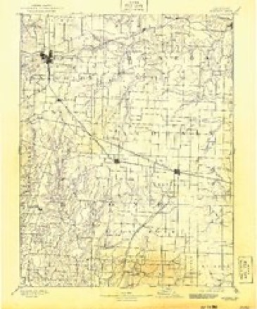
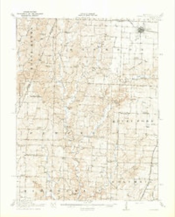
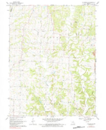
19 topographic sheets cover this place, the earliest surveyed in 1890 and the latest in 1985. It stands in Perche Township. It lies in ZIP code area 65279. The Survey maps it on the Sturgeon SW quadrangle.
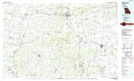
Topographic sheets covering this place
8 surveys from 19 printed sheetsMatched by testing this settlement's coordinate against the published boundary of every sheet in the United States Geological Survey's historical collection. Each opens the scanned sheet at the Survey.
- 1890 USGS Moberly quadrangle1:125000, 6 printings
- 1917 USGS Sturgeon quadrangle1:62500, 3 printings
- 1953 USGS Moberly quadrangle1:250000
- 1954 USGS Moberly quadrangle1:250000, 3 printings
- 1957 USGS Moberly quadrangle1:250000
- 1960 USGS Moberly quadrangle1:250000
- 1969 USGS Sturgeon SW quadrangle1:24000, 2 printings
- 1985 USGS Moberly quadrangle1:100000, 2 printings




What happened here
An account from the chapter on Perche township. The inset identifies its exact source book and publication year.
Killing Of Mr. Drake
^ About the Ist of September, 1864, a man uatned Drake, who had recently come into the township from Sullivan county, was shot from the bush as he was passing along the road. Eight buckshot entered hfs body. The bushwhackers who did the deed gave information at a house near by that the dead body might be cared for.
In the county-history sources
16,001 words on this townshipHistory of Boone County, Missouri, published 1882 names this settlement in its chapter on Perche Township. These are the passages that mention it, exactly as the scans read.
Woodlandville is situated in section 5, township 49, range 13, being the southwest portion of Perche township. It is in that region of country known as the Thrall's prairie district. There is but one store and a blacksmith shop. The post-office is kept at the store. A great deal of business is transacted by W. B. Campbell, proprietor of the store, who keeps a general assortment of dry goods, groceries and notions, and exchanges goods for produce.
Passage source: History of Boone County, Missouri, published 1882.
The subject of this sketch is a practical farmer. Possessing many of the characteristics of a leader, he naturally became the representative of that worthy, influential and powerful class of citizens who, collectively, form the bulk of our population. This too without any special effort of his own in that direction. The farmers showed excellent judgment in selecting Mr. Wilhite, a man worthy of the 'honors conferred and capable of discharging the trust almost unanimously imposed. As a member of the legislature, Mr. Wilhite was not brilliant. His speeches were few, and never eloquent. He did not talk for the sake of talking. Such demagoguery is foreign to his nature. He strove to ascertain his official duty and then went earnestly to work to accomplish his purpose. His career in the State legislature won the esteem of every honest, conscientious representative in that body. His integrity, his devotion to principle, and, withal, his excellent judgment, made him a useful member ; useful not only to his constituents, but to the State at large, and to the party whose principles he represented. Mr. Wilhite was born in Boone county, Missouri, April 13th, 1830, and is at this writing about fifty-two years old, but looks much younger. His father was a native of Kentucky, but came to Missouri in 1818, when our State was yet a territory. The elder Wilhite was a farmer, and the subject of this sketch was brought up iu that business. His chances for acquiring an education were poor, but he made the best use possible of every opportunity that presented itself, and wheh in after years he was called from the farm to represent his county in the legislature he was prepared to discharge the duties of that office in the most acceptable manner. Mr. Wilhite was. married in 1853, but had the misfortune to lose his wife in th^ee years after their marriage. Their union was blessed with one child, a daughter, who grew up to womanhood and was married, but died in the first year of her wedded life. In 1851 Mr. Wilhite purchased a farm in Howard county, to which he removed, but soon returned to his father's old home in Boone county. In 1855 he bought a farm near Boeheport, on which he resided for about three years. He then purchased his present farm, near Woodlandville, consisting of 540 acres of very fine land. He has resided on this farm since 1864. It is admirably improved and in a high state of cultivation. In 1874 Mr. Wilhite was chosen to represent his county in the twenty-eighth general assembly. While a member of the legislature he was chairman of the committee on State University ; also ways and means, penitentiary, agriculture and scientific and benevolent institutions. He was reelected in 1876, without opposition, an endorsement without a parallel in the political history of Boone county. Since serving his last term in the legislature Mr. Wilhite has remained quietly on his farm, looking after his interests in that quarter, taking no part in politics whatever. He has frequently been solicited to again become a candidate for the legislature, but he seems rather to prefer the quiet home life of a well-to-do farmer to the anxiety and turmoil of political strife. Mr. Wilhite is a member of the Baptist church at Walnut Grove, and has always contributed liberally to the support of the gospel.
Passage source: History of Boone County, Missouri, published 1882.
Machine-read from a century-old scan, so expect the errors a machine makes: misspelled names, dropped words, stray characters.
Storms near this place
9 since 2008Regional context, not property-specific evidence. The National Weather Service names Woodlandville in 9 storm reports between 2008 and 2024: 4 hail, 3 flash flood, 2 thunderstorm wind. No death or injury is recorded in these reports. Each account below is quoted exactly as the forecast office filed it, from the NOAA Storm Events Database, and each date opens the federal record of that event.
| When | Event | Place named | Harm | What the report says |
|---|---|---|---|---|
| June 2024 | Thunderstorm Wind | Woodlandville | $50,000 | Thunderstorm winds knocked down large tree limbs in Harrisburg and Centralia and in Columbia. In Centralia and Columbia, fallen trees took down power lines. Columbia received the most damage, with power poles and lines downed and a large tree falling on a parked car near St. Charles Road and Clark Lane. Other impacted communities include Midway and Hallsville. |
| June 2008 | Flash Flood | Woodlandville | $1,000 | Up to three inches of rain fell on already saturated soils in Boone county. Several county roads west of Hinton and U.S. Highway 63 were closed at low water crossings due to high water flowing over them. |
| July 2021 | Flash Flood | Woodlandville | - | Up to 4 inches of rain fell in a about a 2 hour period causing flash flooding across the southern half of Boone County. A water rescue occurred about 4 miles east northeast of McBaine. Numerous roads were flooded. No injuries were reported. |
| June 2018 | Flash Flood | Woodlandville | - | Up to 4 inches of rain fell in a short amount of time causing flash flooding across the central portions of Boone County, including the Columbia. Numerous roads were flooded including Interstate 70 near mile marker 131 in the eastbound lanes. A high water rescue was performed on East St. Charles Road near intersection with Battle Avenue on the northeast side of Columbia. |
| June 2010 | Thunderstorm Wind | Woodlandville | - | Thunderstorm winds blew down several 50 to 60 foot trees. |
| April 2013 | Hail | Woodlandville | - | no account filed |
| April 2013 | Hail | Woodlandville | - | no account filed |
| September 2012 | Hail | Woodlandville | - | no account filed |
| April 2010 | Hail | Woodlandville | - | no account filed |
Nearest settlements
The eight closest, with where each one stands in the county. Distances are straight-line, computed from the Geographic Names Information System coordinates.
| Map | Place | Distance | Sheets |
|---|---|---|---|
| Everett (historical) | 0.9 miles | 19 | |
| Lexington (historical) | 2.4 miles | 19 | |
| Wilhite (historical) | 4.1 miles | 15 | |
| Germantown (historical) | 4.3 miles | 19 | |
| Stapletown (historical) | 4.3 miles | 19 | |
| Persia (historical) | 5.0 miles | 19 | |
| Thralls Prairie (historical) | 5.1 miles | 15 | |
| Harrisburg | 5.6 miles | 19 |
Elsewhere
Matched on this settlement's Geographic Names Information System number rather than its name, so it cannot be a different place of the same name in another state.
| Wikipedia article on Woodlandville | An encyclopaedic summary. Its text is share-alike, so it is linked here rather than copied. |
| Wikidata item Q16903693 | The structured record the population and elevation above come from. Public domain (CC0). |
Provenance
This settlement is recorded in the Geographic Names Information System as feature 741371. The sheet list is computed by point-in-boundary test against the United States Geological Survey's historical topographic inventory. Both are works of the United States government and carry no copyright under 17 U.S.C. 105.
Storms. NOAA National Centers for Environmental Information, Storm Events Database https://www.ncei.noaa.gov/stormevents/ A work of the United States government, no copyright under 17 U.S.C. 105. Narratives are quoted verbatim from the National Weather Service report and are not edited or summarised.