 Block
Enid, Montana
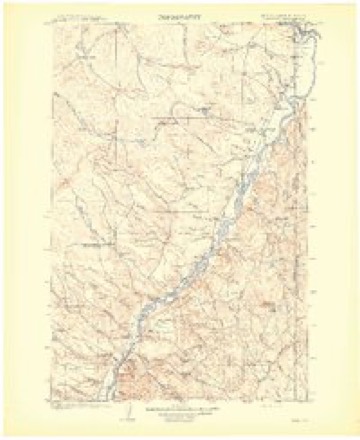
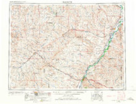
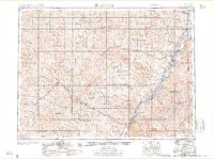
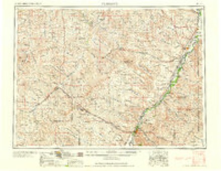
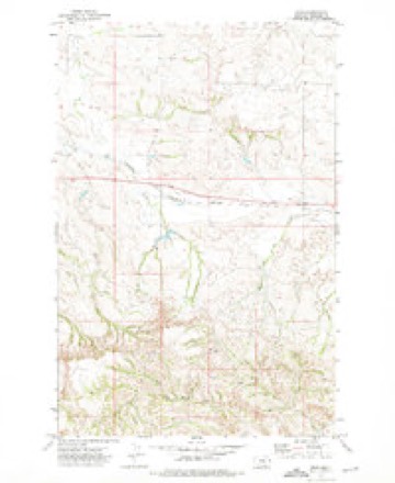
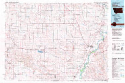
7 topographic sheets cover this place, the earliest surveyed in 1909 and the latest in 1981. It stands in the Lambert census division. It lies in ZIP code area 59243. It stands on West Fork Fox Creek. The Survey maps it on the Enid quadrangle.
Topographic sheets covering this place
6 surveys from 7 printed sheetsMatched by testing this settlement's coordinate against the published boundary of every sheet in the United States Geological Survey's historical collection. Each opens the scanned sheet at the Survey.
- 1909 USGS Glendive quadrangle1:250000
- 1954 USGS Glendive quadrangle1:250000, 2 printings
- 1957 USGS Glendive quadrangle1:250000
- 1958 USGS Glendive quadrangle1:250000
- 1972 USGS Enid quadrangle1:24000
- 1981 USGS Sidney quadrangle1:100000
Storms near this place
60 of 82 shownRegional context, not property-specific evidence. The National Weather Service names Enid in 82 storm reports between 1996 and 2026: 39 thunderstorm wind, 31 hail, 5 flood, 3 flash flood. No death or injury is recorded in these reports. Each account below is quoted exactly as the forecast office filed it, from the NOAA Storm Events Database, and each date opens the federal record of that event.
| When | Event | Place named | Harm | What the report says |
|---|---|---|---|---|
| June 2007 | Hail | Enid | $50,000 | Nickel to quarter hail covered the ground. Thunderstorm winds estimated at 80 mph accompanied the hail and caused significant crop damage and some damage to windows and roofs on area farms. See entire episode narrative for full details. |
| July 2009 | Thunderstorm Wind | Enid | $30,000 | Mobile home damaged. Insurance adjuster estimated wind gust close to 65 mph. |
| August 2013 | Hail | Enid | $2,000 | Public reported golf ball sized hail, a broken window, and crop damage. |
| June 2010 | Hail | Enid | $2,000 | Storm brought 1.75 hail and strong winds caught damage to rain gutters, air conditioner units and window seals. |
| April 2026 | Thunderstorm Wind | Enid | - | The Badger Creek CWOP mesonet site (F2498) recorded a 61 mph wind gust. |
| April 2026 | Thunderstorm Wind | Enid | - | The Lambert MT-200 DOT site (MTLBT) recorded a 58 mph wind gust. |
| June 2025 | Thunderstorm Wind | Enid | - | Reported at the Badger Creek station. |
| June 2024 | Thunderstorm Wind | Enid | - | Public estimated a 75 mph thunderstorm wind gust. It was estimated from an ACURITE weather sensor. |
| August 2024 | Thunderstorm Wind | Enid | - | Public reported, via Facebook, a thunderstorm wind gust of 68 mph. |
| August 2024 | Thunderstorm Wind | Enid | - | The FW2498 Badger Creek mesonet station (F2498) measured a 67 mph thunderstorm wind gust. |
| July 2023 | Hail | Enid | - | The public reported hail up to the size of quarters. |
| August 2023 | Thunderstorm Wind | Enid | - | The Badger Creek CWOP site (FW2498) measured a thunderstorm wind gust of 62 mph. |
| July 2022 | Thunderstorm Wind | Enid | - | The Badger Creek mesonet site (FW2498) measured a 60 mph thunderstorm wind gust. |
| June 2021 | Thunderstorm Wind | Enid | - | The Badger Creek mesonet site (FW2498) measured a 61 mph thunderstorm wind gust. |
| May 2020 | Thunderstorm Wind | Enid | - | The Badger Creek mesonet site (F2498) recorded a 65 mph wind gust. Time estimated by radar. |
| July 2020 | Thunderstorm Wind | Enid | - | Trained spotter, 12 NNW Enid, reported 81 mph wind gusts. A large cottonwood tree was uprooted, and five grain bins were destroyed. |
| July 2020 | Thunderstorm Wind | Enid | - | At the Badger Creek Handar site (F2498), wind gusts of 68 mph were recorded, as well as sustained winds up to 55 mph. |
| July 2020 | Thunderstorm Wind | Enid | - | At the Badger Creek mesonet site (W2498), a 58 mph wind gust was recorded. |
| June 2019 | Heavy Rain | Enid | - | Trained spotter estimated at least 3 inches of rainfall and culvert running near full capacity. |
| June 2019 | Heavy Rain | Enid | - | Public reported, via social media, over 4 inches of rain, including some pea size hail. |
| June 2019 | Flood | Enid | - | Trained spotter reported, after more than three inches of rain, that county road 314 and multiple culverts and well heads were under water. Residence basement was also flooded. |
| June 2019 | Flash Flood | Enid | - | Richland County dispatch relayed reports of water over Highway 201 at the intersections of county roads 318, 317, and 314. |
| July 2019 | Hail | Enid | - | Trained spotter reported quarter size hail. |
| June 2018 | Hail | Enid | - | Public reported quarter size hail and wind gusts up to 55 mph. |
| June 2018 | Hail | Enid | - | Public reported, via social media, ping pong ball size hail. |
| June 2018 | Thunderstorm Wind | Enid | - | County fire department measured a 72 mph wind gust and reported heavy rain and reduced visibility. |
| June 2018 | Hail | Enid | - | Trained spotter reported half dollar size hail. |
| June 2018 | Hail | Enid | - | Trained spotter reported half dollar size hail. |
| June 2018 | Thunderstorm Wind | Enid | - | Trained spotter measured an 80 mph wind gust. |
| June 2018 | Thunderstorm Wind | Enid | - | A Davis Pro weather station measured an 87 mph wind gust. A barn on the property was completely leveled. |
| June 2018 | Hail | Enid | - | Public reported half dollar size hail. |
| June 2018 | Thunderstorm Wind | Enid | - | Public reported a pole barn and corral shelter damaged with debris spread out over a distance of more than half of a mile. Shingles were torn off a roof and metal roofing was peeled off a barn. A large grain cart was moved several feet and a fertilizer spreader was moved about 40 feet. |
| June 2018 | Thunderstorm Wind | Enid | - | Trained spotter estimated wind gusts in excess of 60 mph. |
| June 2016 | Hail | Enid | - | Trained spotter reported golf ball sized hail along with winds up to 50 mph. |
| June 2016 | Hail | Enid | - | Trained spotter reported quarter sized hail. |
| June 2016 | Thunderstorm Wind | Enid | - | Trained spotter measured 62 mph wind gusts. |
| June 2016 | Thunderstorm Wind | Enid | - | A medium sized tree was snapped and part of a metal roof was torn back from a large metal storage building. |
| June 2016 | Thunderstorm Wind | Enid | - | A gustnado caused damage to a farmstead. A roof was peeled back on a metal building. Hay bales were blown off a stack. Numerous trees were damaged, uprooted or snapped off with many large limbs lost. Some large tree limbs landed on a farm house. |
| June 2016 | Thunderstorm Wind | Enid | - | Storm chaser reported large tree branches downed by high winds, along with possible damage to structures. Time estimated form radar. |
| July 2015 | Hail | Enid | - | Public reported quarter-sized hail. |
| June 2015 | Hail | Enid | - | Public Facebook report of nickel-sized hail near the intersection of highway 201 and county road 318 in northwestern Richland County. |
| May 2013 | Flood | Enid | - | Trained spotter reported water flowing over a 35-foot stretch of county road 149 at a depth of about 2 inches. Location is about 6 miles SE of Poplar. |
| August 2013 | Thunderstorm Wind | Enid | - | Public reported power poles knocked down. Power not restored for several hours. |
| July 2012 | Thunderstorm Wind | Enid | - | Spotter used a wind anemometer to measure sustained winds of 56 mph and gusts up to 74 mph. |
| March 2011 | Flood | Enid | - | Small creeks and streams as well as the Redwater River were out of their banks. |
| June 2011 | Flood | Enid | - | Minor flooding was occurring at Wolf Point where stages exceeded Flood Stage by about 1.5 feet (estimated from the river gauge at Wolf Point). |
| July 2011 | Thunderstorm Wind | Enid | - | Several tree branches of 6 to 8 inches in diameter were on the road. Wind moved spotter's Ford F550 truck. |
| August 2011 | Thunderstorm Wind | Enid | - | Spotter estimated 60 mph wind gusts and reported pea-sized hail stones. |
| July 2011 | Tornado (EF0) | Enid | - | Richland County dispatch received 4 public calls reporting the tornado near Lambert. The majority of the damage in the Lambert to Savage area was straight line wind damage, not tornadic. The tornado caused little damage. |
| July 2011 | Flood | Enid | - | Minor flooding was diminishing as river levels were falling. |
| July 2010 | Thunderstorm Wind | Enid | - | Winds knocked down oil field equipment and some small trees. |
| June 2010 | Thunderstorm Wind | Enid | - | Trained spotter recorded wind gust with a Kestrel unit. Power was then lost while pea size hail fell. |
| June 2010 | Hail | Enid | - | Public reported golfball size hail. |
| July 2010 | Hail | Enid | - | Public report of 1.75 inch hail 20 miles south of Brockton at 2235 MST. Trained spotter reported one inch hail 14 miles south of Brockton at 2240 MST. |
| June 2010 | Thunderstorm Wind | Enid | - | Large hail also occurred with this wind, causing damage to rain gutters, air conditioning units and window seals. |
| August 2010 | Thunderstorm Wind | Enid | - | Trees were bending and a rain barrel was rolling through the field. |
| June 2007 | Flash Flood | Enid | - | Three and a half inches of storm total rainfall caused water to run over dams in the area. |
| June 2007 | Thunderstorm Wind | Enid | - | The wind was estimated at 80 to 90 mph. Several windows and screens were destroyed on the west side of the house. The steel siding was lost off of a home. Crop damage was reported as being extensive. See entire episode narrative for full details. |
| June 2007 | Flash Flood | Enid | - | Significant overland flooding with water rushing down a hill. |
| June 2005 | Thunderstorm Wind | Enid | - | 6 to 8 inch tree limbs down. Appears that the strong wind was in association with channel outflow from distant thunderstorms. |
Nearest settlements
The eight closest, with where each one stands in the county. Distances are straight-line, computed from the Geographic Names Information System coordinates.
| Map | Place | Distance | Sheets |
|---|---|---|---|
| Fox Lake | 8.4 miles | 7 | |
| Lambert | 8.5 miles | 7 | |
| Mona (historical) | 19.4 miles | 7 | |
| Andes | 21.7 miles | 7 | |
| Girard | 22.4 miles | 7 | |
| Brorson (historical) | 26.3 miles | 7 | |
| Midway | 27.3 miles | 7 | |
| Sears (historical) | 27.9 miles | 7 |
Provenance
This settlement is recorded in the Geographic Names Information System as feature 771230. The sheet list is computed by point-in-boundary test against the United States Geological Survey's historical topographic inventory. Both are works of the United States government and carry no copyright under 17 U.S.C. 105.
Storms. NOAA National Centers for Environmental Information, Storm Events Database https://www.ncei.noaa.gov/stormevents/ A work of the United States government, no copyright under 17 U.S.C. 105. Narratives are quoted verbatim from the National Weather Service report and are not edited or summarised.