 Block
Lindsay, Montana
6 topographic sheets cover this place, the earliest surveyed in 1954 and the latest in 1983. It stands in the Richey census division. It lies in ZIP code area 59339. The Survey maps it on the Lindsay quadrangle. 12 people lived here at the 2020 count. It stands 2,680 feet above sea level.
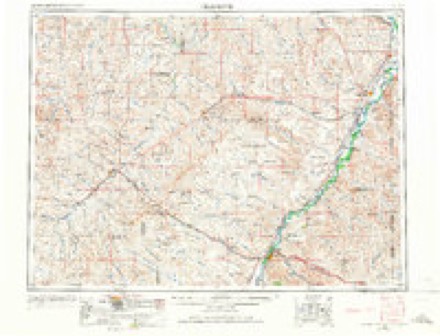
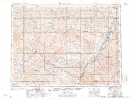
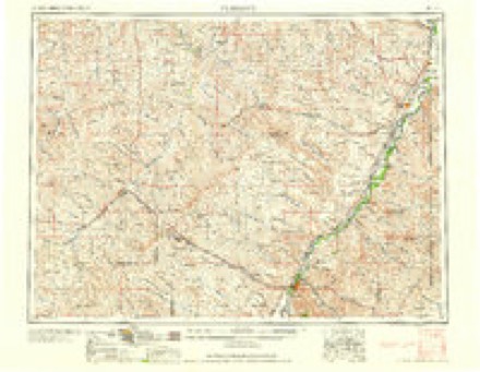
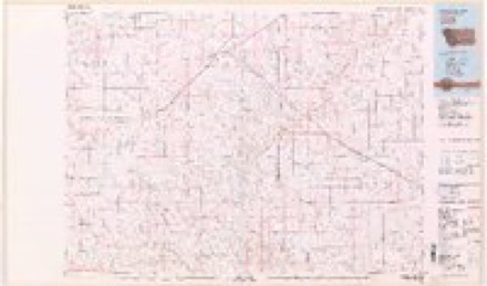
Topographic sheets covering this place
5 surveys from 6 printed sheetsMatched by testing this settlement's coordinate against the published boundary of every sheet in the United States Geological Survey's historical collection. Each opens the scanned sheet at the Survey.
- 1954 USGS Glendive quadrangle1:250000, 2 printings
- 1957 USGS Glendive quadrangle1:250000
- 1958 USGS Glendive quadrangle1:250000
- 1982 USGS Circle quadrangle1:100000
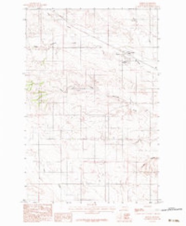
- 1983 USGS Lindsay quadrangle1:24000
Fires near this place
3 since 2003Regional context, not property-specific evidence. The federal wildfire occurrence database lists 3 fires within 5 miles of Lindsay between 2003 and 2020, burning about 811 acres in total. None started naturally. None was recorded as arson. Distance is straight-line from the map coordinates, so a fire counted here may appear on a neighbouring settlement's page as well.
| Reported cause | Fires |
|---|---|
| Equipment and vehicle use | 2 |
| Railroad operations and maintenance | 1 |
The most recent of them, most recent first, with the day each was reported and the service that recorded it.
| Date | Cause | Size | Reported by | Name on the report |
|---|---|---|---|---|
| 30 July 2003 | Equipment and vehicle use | 40 acres | Eastern Land Office | not named |
| 2 October 2020 | Railroad operations and maintenance | 24 acres | Dawson County | WET CREEK - DAWSON |
| 17 October 2017 | Equipment and vehicle use | 747 acres | Eastern Land Office | WOLFF |
Settlements close enough to share some of these fires:
Storms near this place
60 of 83 shownRegional context, not property-specific evidence. The National Weather Service names Lindsay in 83 storm reports between 1996 and 2023: 58 hail, 20 thunderstorm wind, 3 heavy rain, 2 flood. No death or injury is recorded in these reports. Each account below is quoted exactly as the forecast office filed it, from the NOAA Storm Events Database, and each date opens the federal record of that event.
| When | Event | Place named | Harm | What the report says |
|---|---|---|---|---|
| July 2001 | Thunderstorm Wind | Lindsay | $75,000 | The damaging downburst winds that occurred in McCone County continued into Dawson County. Several farms along Highway 200 had significant damage to outbuildings, and well as to equipment. Crops were 100 percent destroyed in a 1 to 5 mile wide swath from 12 miles northwest of Lindsay to the town of Lindsay. A home in Linsday also had the roof blown off. |
| June 2005 | Thunderstorm Wind | Lindsay | $50,000 | Eight grain bins were destroyed by the strong wind. There was wind damage with lots of fences blown down. An old and vacant county school was destroyed. A calf shelter was picked up and moved by the strong wind. A four wheel drive tractor was moved about 100 feet. A round bale was blown into a vehicle causing body damage and the windshield to be broken. |
| June 2006 | Hail | Lindsay | $10,000 | Hail up to 2 inches in diameter fell for 10 minutes. The hail broke the windshield of a truck and damaged the roof of a house. |
| September 2009 | Hail | Lindsay | $5,000 | Hail stones caused dents on an exposed camper. |
| June 2002 | Thunderstorm Wind | Lindsay | $1,000 | 60 mph wind blew shingles off roof 10 miles south of Lindsay. |
| July 2023 | Hail | Lindsay | - | The public reported, via Facebook, hail up to the size of quarters. |
| July 2023 | Hail | Lindsay | - | The public reported, via Facebook, hail up to the size of ping pong balls. |
| June 2021 | Hail | Lindsay | - | Public reported, via Facebook, hail up to the size of half dollars, along with strong winds. |
| June 2021 | Hail | Lindsay | - | Public reported, via Facebook, baseball size hail in the town of Lindsay. |
| June 2021 | Hail | Lindsay | - | Trained spotter reported tea cup size hail. |
| June 2021 | Hail | Lindsay | - | Public reported hail up to the size of quarters. |
| June 2019 | Thunderstorm Wind | Lindsay | - | Trained spotter reported 64 mph wind gusts, along with dime size hail. |
| July 2019 | Hail | Lindsay | - | Trained spotter reported quarter size hail. |
| May 2018 | Hail | Lindsay | - | Public reported mostly dime to nickel sized hail falling, with several hailstones as large as half dollars. |
| July 2017 | Hail | Lindsay | - | A trained spotter reported nickel sized hail. |
| July 2017 | Thunderstorm Wind | Lindsay | - | A trained spotted reported a 58 mph wind gust. |
| July 2017 | Hail | Lindsay | - | A trained spotter reported nickel sized hail. |
| June 2016 | Hail | Lindsay | - | Trained spotter reported golf ball sized hail. |
| June 2016 | Hail | Lindsay | - | Public reported quarter to golf ball sized hail lasting for 10 minutes. |
| July 2015 | Thunderstorm Wind | Lindsay | - | Trained spotter measured 83 mph winds. A power pole and a 7 foot high cattle implement were blown over. |
| July 2013 | Hail | Lindsay | - | Cooperative observer reported hail up to the size of golf balls and heavy rain. |
| July 2013 | Thunderstorm Wind | Lindsay | - | Trained spotter measured a 71 mph wind gust and dime-sized hail, and estimated a total crop loss. |
| July 2013 | Hail | Lindsay | - | Trained spotter reported golf ball sized hail and wind gusts around 55 mph. |
| May 2011 | Flood | Lindsay | - | Small streams rose out their banks due to heavy rains and above normal wet spring. |
| May 2011 | Flood | Lindsay | - | Two to three inches of rain fell across the area resulting in some minor flooding of creeks and streams. |
| September 2009 | Hail | Lindsay | - | Heavy rain also accompanied this storm. |
| September 2009 | Heavy Rain | Lindsay | - | Rainfall totaled 1.75 inches in 15 minutes. |
| September 2009 | Hail | Lindsay | - | The hail damaged the heads on the wheat crop. |
| September 2009 | Hail | Lindsay | - | Up to golfball-sized hail fell with this storm. |
| September 2009 | Heavy Rain | Lindsay | - | Rainfall was measured at 1.4 inches. Runoff from rain filled ditches and almost filled a dam on the property. |
| September 2009 | Hail | Lindsay | - | Hail the size of walnuts and smaller fell with this storm. |
| September 2009 | Heavy Rain | Lindsay | - | Nearly two inches of rain fell with the hail from this storm. |
| July 2008 | Hail | Lindsay | - | Sustained winds of 50 to 60 mph were also reported. |
| July 2008 | Thunderstorm Wind | Lindsay | - | Winds were sustained between 50 and 60 mph along with 0.75 hail. |
| May 2007 | Hail | Lindsay | - | Hail ranged from 0.5 to 1.5 inches and covered the ground. Damage to farm crop, tin roof on residence, and vehicle. |
| May 2007 | Hail | Lindsay | - | Golfball sized hail was followed by nickel sized hail. |
| May 2007 | Hail | Lindsay | - | The spotter also reported possible roof damage. |
| July 2007 | Thunderstorm Wind | Lindsay | - | This report was taken from the Lindsay Divide DOT site. |
| September 2007 | Hail | Lindsay | - | Drifts of penny size hail against house. |
| June 2006 | Hail | Lindsay | - | The hail was accompanied by 1.5 inches of rain. |
| August 2005 | Hail | Lindsay | - | The hail was two inches deep. Minor flooding also occurred from the runoff across some wheat fields. |
| July 2002 | Thunderstorm Wind | Lindsay | - | 60 mph wind tore awning off roof 10 miles south of Lindsay. |
| July 1998 | Hail | Lindsay | - | A hail storm moved from north of Lindsay to south of Bloomfield. Quarter sized hail pummelled area wheat fields. Two farms reported a 100% crop loss and as many as twelve crop insurance claims were filed. |
| July 2010 | Hail | Lindsay | - | no account filed |
| September 2009 | Hail | Lindsay | - | no account filed |
| September 2009 | Hail | Lindsay | - | no account filed |
| August 2009 | Hail | Lindsay | - | no account filed |
| June 2008 | Hail | Lindsay | - | no account filed |
| May 2007 | Hail | Lindsay | - | no account filed |
| August 2007 | Thunderstorm Wind | Lindsay | - | no account filed |
| May 2007 | Hail | Lindsay | - | no account filed |
| May 2007 | Hail | Lindsay | - | no account filed |
| May 2007 | Hail | Lindsay | - | no account filed |
| July 2007 | Thunderstorm Wind | Lindsay | - | no account filed |
| September 2007 | Hail | Lindsay | - | no account filed |
| September 2007 | Thunderstorm Wind | Lindsay | - | no account filed |
| September 2007 | Hail | Lindsay | - | no account filed |
| June 2006 | Thunderstorm Wind | Lindsay | - | no account filed |
| June 2006 | Thunderstorm Wind | Lindsay | - | no account filed |
| June 2006 | Hail | Lindsay | - | no account filed |
Nearest settlements
The eight closest, with where each one stands in the county. Distances are straight-line, computed from the Geographic Names Information System coordinates.
| Map | Place | Distance | Sheets |
|---|---|---|---|
| Union (historical) | 8.5 miles | 6 | |
| Mink (historical) | 10.6 miles | 6 | |
| Pleasant View | 17.5 miles | 7 | |
| Corral Creek (historical) | 17.7 miles | 6 | |
| Bloomfield | 18.2 miles | 7 | |
| Landtsheim (historical) | 20.3 miles | 7 | |
| Red Top | 22.4 miles | 7 | |
| Forest Park | 22.4 miles | 7 |
Elsewhere
Matched on this settlement's Geographic Names Information System number rather than its name, so it cannot be a different place of the same name in another state.
| Wikipedia article on Lindsay | An encyclopaedic summary. Its text is share-alike, so it is linked here rather than copied. |
| Wikidata item Q18354152 | The structured record the population and elevation above come from. Public domain (CC0). |
Provenance
This settlement is recorded in the Geographic Names Information System as feature 773370. The sheet list is computed by point-in-boundary test against the United States Geological Survey's historical topographic inventory. Both are works of the United States government and carry no copyright under 17 U.S.C. 105.
Wildfire. Short, Karen C. 2022. Spatial wildfire occurrence data for the United States, 1992-2020 [FPA_FOD_20221014]. 6th Edition. Fort Collins, CO: Forest Service Research Data Archive. https://doi.org/10.2737/RDS-2013-0009.6 Collected with United States Government funding and usable without additional permissions or fees.
Storms. NOAA National Centers for Environmental Information, Storm Events Database https://www.ncei.noaa.gov/stormevents/ A work of the United States government, no copyright under 17 U.S.C. 105. Narratives are quoted verbatim from the National Weather Service report and are not edited or summarised.