 Block
Burnstad, North Dakota
7 topographic sheets cover this place, the earliest surveyed in 1953 and the latest in 1986. It stands in Red Lake Township. It lies in ZIP code area 58495. The Survey maps it on the Burnstad quadrangle.
On record in Burnstad
Buildings and businesses the archive holds for this place. Each opens its own page, with the source record it came from.
On the National Register 1 record
- Robert Abell Round Barnlisted 1986
Topographic sheets covering this place
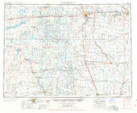
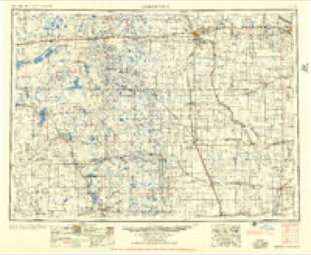
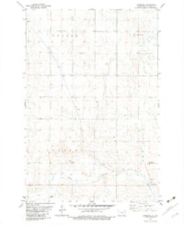
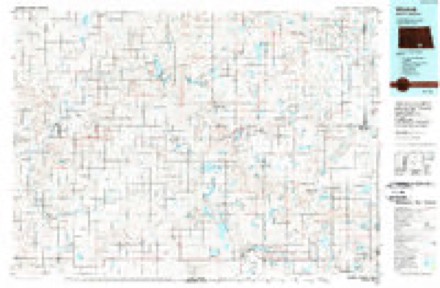
4 surveys from 7 printed sheetsMatched by testing this settlement's coordinate against the published boundary of every sheet in the United States Geological Survey's historical collection. Each opens the scanned sheet at the Survey.
- 1953 USGS Jamestown quadrangle1:250000, 3 printings
- 1956 USGS Jamestown quadrangle1:250000
- 1982 USGS Burnstad quadrangle1:24000
- 1986 USGS Wishek quadrangle1:100000, 2 printings
Storms near this place
24 since 1999Regional context, not property-specific evidence. The National Weather Service names Burnstad in 24 storm reports between 1999 and 2025: 16 hail, 7 thunderstorm wind, 1 tornado. The reports record 2 injuries. Each account below is quoted exactly as the forecast office filed it, from the NOAA Storm Events Database, and each date opens the federal record of that event.
| When | Event | Place named | Harm | What the report says |
|---|---|---|---|---|
| June 2002 | Thunderstorm Wind | Burnstad | 2 hurt | Two persons were injured when a large tree was toppled by the wind onto their tent. Numerous uprooted tree's with several homes receiving minor wind damage. The injuries were at a campground in Beaver State Park. |
| June 2016 | Thunderstorm Wind | Burnstad | $1,200,000 | Power lines were reported down south of Napoleon along North Dakota Highway 3. Also, a 70 foot tall electrical high-voltage structure toppled over. Significant farm damage occurred. |
| July 2010 | Hail | Burnstad | $25,000 | The large hail resulted in vehicle damage and some crop damage. |
| June 2018 | Thunderstorm Wind | Burnstad | $2,000 | The strong winds combined with nickel-size hail to break some windows. |
| June 2024 | Tornado (EFU) | Burnstad | - | The tornado touched down in an open field north of Burnstad and impacted no structures. There was no damage to evaluate. By National Weather Service policy the tornado is rated EFU (Unknown). |
| July 2020 | Thunderstorm Wind | Burnstad | - | Thunderstorm wind gusts to 60 mph were estimated by a trained spotter. |
| July 2013 | Hail | Burnstad | - | Winds to fifty miles per hour accompanied the hail. |
| July 2010 | Thunderstorm Wind | Burnstad | - | Damage was not reported with this severe thunderstorm wind gust. |
| June 2005 | Thunderstorm Wind | Burnstad | - | USDA reported 60 percent loss of small grain, 40 percent loss of corn, sunflowers, soybeans and alfalfa, and 30 percent loss of mixed forage from high winds and hail. 0.75 inch hail accompanied the storm. |
| June 2005 | Hail | Burnstad | - | Winds up to 50 mph and heavy rainfall of 2.40 inches accompanied the storm. |
| June 2025 | Hail | Burnstad | - | no account filed |
| July 2025 | Hail | Burnstad | - | no account filed |
| May 2024 | Hail | Burnstad | - | no account filed |
| June 2024 | Hail | Burnstad | - | no account filed |
| July 2022 | Hail | Burnstad | - | no account filed |
| July 2022 | Hail | Burnstad | - | no account filed |
| September 2022 | Hail | Burnstad | - | no account filed |
| June 2021 | Hail | Burnstad | - | no account filed |
| June 2006 | Hail | Burnstad | - | no account filed |
| August 2006 | Thunderstorm Wind | Burnstad | - | no account filed |
| June 2006 | Hail | Burnstad | - | no account filed |
| July 2004 | Hail | Burnstad | - | no account filed |
| June 2003 | Hail | Burnstad | - | no account filed |
| June 1999 | Hail | Burnstad | - | no account filed |
Nearest settlements
The eight closest, with where each one stands in the county. Distances are straight-line, computed from the Geographic Names Information System coordinates.
Provenance
This settlement is recorded in the Geographic Names Information System as feature 1028203. The sheet list is computed by point-in-boundary test against the United States Geological Survey's historical topographic inventory. Both are works of the United States government and carry no copyright under 17 U.S.C. 105.
Storms. NOAA National Centers for Environmental Information, Storm Events Database https://www.ncei.noaa.gov/stormevents/ A work of the United States government, no copyright under 17 U.S.C. 105. Narratives are quoted verbatim from the National Weather Service report and are not edited or summarised.