 Block
Edgeley, North Dakota
11 topographic sheets cover this place, the earliest surveyed in 1896 and the latest in 1986. It stands in Edgeley City. It lies in ZIP code area 58433. The Survey maps it on the Edgeley quadrangle. 585 people lived here at the 2020 count. It stands 1,565 feet above sea level.
Research this city
On record in Edgeley
Buildings and businesses the archive holds for this place. Each opens its own page, with the source record it came from.
On the National Register 1 record
Population over time
2 figuresEdgeley grew from 563 to 585 between 2010 and 2020. These are the recorded population figures Wikidata holds for this place, reached through the Geographic Names Information System number this page is keyed on rather than by name, so they belong to this place and not to another of the same name. Most are census counts, but not all are: an early figure may be a founding or settlement estimate, and an estimate published within five years of a census is left out. The change column is computed, and is left blank where more than 20 years separate a figure from the one before it, because a gap that long is not a change between two counts.
| Year | People | Change |
|---|---|---|
| 2010 | 563 | |
| 2020 | 585 | +22 (+4%) |
Topographic sheets covering this place
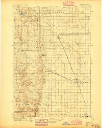
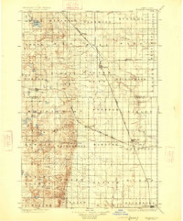
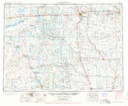
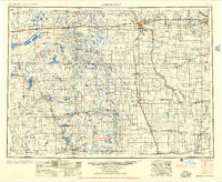
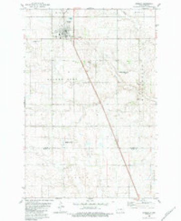
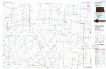
6 surveys from 11 printed sheetsMatched by testing this settlement's coordinate against the published boundary of every sheet in the United States Geological Survey's historical collection. Each opens the scanned sheet at the Survey.
- 1896 USGS Edgeley quadrangle1:125000, 2 printings
- 1925 USGS Edgeley quadrangle1:125000, 2 printings
- 1953 USGS Jamestown quadrangle1:250000, 3 printings
- 1956 USGS Jamestown quadrangle1:250000
- 1982 USGS Edgeley quadrangle1:24000
- 1986 USGS La Moure quadrangle1:100000, 2 printings
Mines and quarries near this place
1 within 5 milesRegional context, not property-specific evidence. The federal mineral resources record lists 1 working within 5 miles of Edgeley: 1 past producer. None of them still produces. What was taken out: Sand and Gravel, Construction. Distance is straight-line from the map coordinates, so a quarry counted here may appear on a neighbouring settlement's page as well.
| Where | Site | Commodity | Status | Recorded |
|---|---|---|---|---|
| Stemen Pit | Sand and Gravel, Construction | Past Producer |
Storms near this place
58 since 1993Regional context, not property-specific evidence. The National Weather Service names Edgeley in 58 storm reports between 1993 and 2024: 32 hail, 18 thunderstorm wind, 4 tornado, 2 flash flood. The reports record 1 injury. Each account below is quoted exactly as the forecast office filed it, from the NOAA Storm Events Database, and each date opens the federal record of that event.
| When | Event | Place named | Harm | What the report says |
|---|---|---|---|---|
| August 2006 | Hail | Edgeley | 1 hurt | LaMoure County Sheriff deputy injured his finger when he was hit by hail stones as he was determining hail size. Injury was minor. |
| May 2010 | Thunderstorm Wind | Edgeley | $1,000,000 | Extreme straight line winds associated with a severe thunderstorm caused extensive damage north of Kulm. Visual inspection of storm survey photos indicate estimated winds of 90 to 105 mph. The worst damage and highest estimated winds occurred roughly 2 miles north-northwest of Kulm where 4 large grain bins were destroyed and heavy damage was sustained to a shop on a farmstead. Also, one wall was destroyed and the roof collapsed on a large machine shed, and several pieces of farm machinery had damage from being blown over. Preliminary damage estimates indicated one million dollars to this one location. Other areas north of Kulm also sustained damage from the straight line wind gusts, but not as severe. |
| July 2007 | Tornado (EF1) | Edgeley | $500,000 | Estimated speed 105 mph. Damage on a farm 7 miles north of Edgeley. Farm outbuildings damaged and one machine shed destroyed. Equipment damaged including grain trucks, tractors, and combines. The farm house was not damaged and no one was killed or injured. The National Weather Service learned of the event through newspaper articles. The articles read that an insurance agent and the LaMoure County Sheriff assessed the event to be a tornado. See other LaMoure County StormData entries for the evening of July 15, 2007, to include hail, wind, and tornado. |
| August 1993 | Hail | Edgeley | $500,000 | A hail storm leveled crops in a 40-mile-long and two-mile-wide stretch of LaMoure County. The damage extended from the southwest corner of the county, in the Kulm area, to north of Edgeley. The hail also broke windows and damaged roofs. More than 2.75 inches of rain fell with the hail. The wind speed in the Kulm area reached 100 mph for a brief time. |
| June 2005 | Flash Flood | Edgeley | $350,000 | no account filed |
| July 2007 | Thunderstorm Wind | Edgeley | $200,000 | Three towers were downed along a 115-kilovolt line owned by the Western Area Power Administration. Power failed at 10:18 PM CDT. Newspaper read a variety of hail, wind, and tornado damage in LaMoure County. See other LaMoure County StormData entries for the evening of July 15, 2007, to include hail, wind, and tornado. |
| June 1998 | Flash Flood | Edgeley | $130,000 | Some parts of the county received 6 inches of rain. The hardest hit areas were northeast of LaMoure and west and north of Edgeley. County officials were seeking their seventh presidential disaster declaration in six years (mostly due to water problems). |
| July 2012 | Thunderstorm Wind | Edgeley | $25,000 | Many large tree branches were broken off in Kulm. |
| July 2011 | Thunderstorm Wind | Edgeley | $25,000 | Strong thunderstorm winds blew grain bins over. |
| August 2006 | Thunderstorm Wind | Edgeley | $25,000 | Roof damage to homes and outbuildings on farms. Antenna bent over. Pieces of 2X2 wood blown into the side of a house. |
| July 2007 | Hail | Edgeley | $20,000 | There was damage to siding and windows. See other LaMoure County StormData entries for the evening of July 15, 2007, to include hail, wind, and tornado. |
| May 2014 | Hail | Edgeley | $10,000 | Some vehicle damage was reported. |
| June 2022 | Thunderstorm Wind | Edgeley | $5,000 | Several tree limbs down. |
| August 2006 | Thunderstorm Wind | Edgeley | $3,000 | Damage to fences in town. |
| July 2024 | Hail | Edgeley | - | Crops were damaged in the area. |
| August 2011 | Thunderstorm Wind | Edgeley | - | Large hail accompanied the strong winds. |
| July 2011 | Thunderstorm Wind | Edgeley | - | Small hail accompanied the strong winds. |
| July 2010 | Thunderstorm Wind | Edgeley | - | Corn fields across central LaMoure County were flattened by strong thunderstorm winds. Local residents were unsure if the corn was a partial or complete loss. |
| June 2009 | Thunderstorm Wind | Edgeley | - | The severe thunderstorm wind gust was accompanied by penny size hail. |
| June 2006 | Tornado (F0) | Edgeley | - | Lamoure County Sheriff and North Dakota Highway Patrol Trooper witnessed and tracked the tornado. No structures were impacted and no damage occurred. The tornado completely lifted back into the parent thunderstorm. A second tornado formed from the same thunderstorm. See Tornado entry for Lamoure County 1205 to 1210 06/23/06. |
| June 2006 | Tornado (F0) | Edgeley | - | Trained spotters witnessed this tornado. No structures were impacted and no damage occurred. See Tornado entry for Lamoure County 1147 to 1202 06/23/06. |
| August 2006 | Hail | Edgeley | - | Heavy rain accompanied hail. |
| August 2006 | Hail | Edgeley | - | LaMoure County Sheriff deputy report. |
| June 2002 | Lightning | Edgeley | - | Lighnting struck and destoyed a semi-truck in the city of Kulm. |
| August 2002 | Thunderstorm Wind | Edgeley | - | Reported by a NSW cooperative observer. |
| July 2000 | Tornado (F0) | Edgeley | - | Tornado touched down in open country destroying a pole barn. |
| July 2000 | Thunderstorm Wind | Edgeley | - | Tree's uprooted. Severe crop damage. |
| June 1999 | Hail | Edgeley | - | The city of Kulm received 1 to 2 inch hail. |
| July 1999 | Hail | Edgeley | - | Hail fell in the city of Kulm. |
| July 2024 | Hail | Edgeley | - | no account filed |
| April 2022 | Hail | Edgeley | - | no account filed |
| June 2022 | Hail | Edgeley | - | no account filed |
| July 2020 | Hail | Edgeley | - | no account filed |
| July 2020 | Hail | Edgeley | - | no account filed |
| July 2020 | Hail | Edgeley | - | no account filed |
| June 2020 | Thunderstorm Wind | Edgeley | - | no account filed |
| June 2020 | Hail | Edgeley | - | no account filed |
| June 2020 | Thunderstorm Wind | Edgeley | - | no account filed |
| September 2017 | Hail | Edgeley | - | no account filed |
| September 2017 | Hail | Edgeley | - | no account filed |
| May 2016 | Hail | Edgeley | - | no account filed |
| May 2015 | Funnel Cloud | Edgeley | - | no account filed |
| June 2013 | Hail | Edgeley | - | no account filed |
| May 2011 | Hail | Edgeley | - | no account filed |
| June 2011 | Hail | Edgeley | - | no account filed |
| August 2011 | Hail | Edgeley | - | no account filed |
| June 2008 | Thunderstorm Wind | Edgeley | - | no account filed |
| August 2006 | Hail | Edgeley | - | no account filed |
| August 2006 | Hail | Edgeley | - | no account filed |
| August 2006 | Hail | Edgeley | - | no account filed |
| July 2006 | Thunderstorm Wind | Edgeley | - | no account filed |
| May 2005 | Hail | Edgeley | - | no account filed |
| June 2003 | Hail | Edgeley | - | no account filed |
| July 2003 | Hail | Edgeley | - | no account filed |
| July 2002 | Thunderstorm Wind | Edgeley | - | no account filed |
| May 2001 | Hail | Edgeley | - | no account filed |
| July 2000 | Hail | Edgeley | - | no account filed |
| June 1999 | Hail | Edgeley | - | no account filed |
Nearest settlements
The eight closest, with where each one stands in the county. Distances are straight-line, computed from the Geographic Names Information System coordinates.
| Map | Place | Distance | Sheets |
|---|---|---|---|
| Saint George (historical) | 1.7 miles | 11 | |
| Medberry | 5.2 miles | 11 | |
| Deisem | 7.0 miles | 11 | |
| Willowbank Colony | 8.3 miles | 11 | |
| Berlin | 12.0 miles | 12 | |
| Kulm | 12.9 miles | 11 | |
| Nortonville | 13.8 miles | 10 | |
| Jud | 15.0 miles | 10 |
Elsewhere
Matched on this settlement's Geographic Names Information System number rather than its name, so it cannot be a different place of the same name in another state.
| Wikipedia article on Edgeley | An encyclopaedic summary. Its text is share-alike, so it is linked here rather than copied. |
| Wikidata item Q2445962 | The structured record the population and elevation above come from. Public domain (CC0). |
Provenance
This settlement is recorded in the Geographic Names Information System as feature 1033639. The sheet list is computed by point-in-boundary test against the United States Geological Survey's historical topographic inventory. Both are works of the United States government and carry no copyright under 17 U.S.C. 105.
Mines and quarries. USGS Mineral Resources Data System (MRDS) https://mrdata.usgs.gov/mrds/ A work of the United States government, no copyright under 17 U.S.C. 105.
Storms. NOAA National Centers for Environmental Information, Storm Events Database https://www.ncei.noaa.gov/stormevents/ A work of the United States government, no copyright under 17 U.S.C. 105. Narratives are quoted verbatim from the National Weather Service report and are not edited or summarised.