 Block
Pickardville, North Dakota
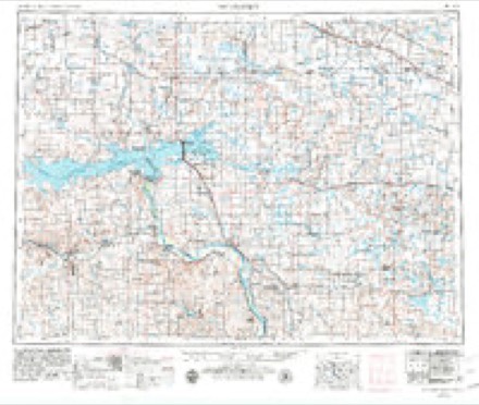
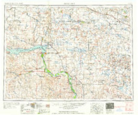
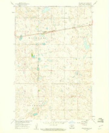
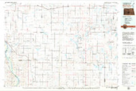
7 topographic sheets cover this place, the earliest surveyed in 1954 and the latest in 1979. It stands in the South Sheridan unorganized territory. It lies in ZIP code area 58463. It lies near Klinks Slope. The Survey maps it on the Pickardville quadrangle.
Topographic sheets covering this place
4 surveys from 7 printed sheetsMatched by testing this settlement's coordinate against the published boundary of every sheet in the United States Geological Survey's historical collection. Each opens the scanned sheet at the Survey.
- 1954 USGS McClusky quadrangle1:250000, 3 printings
- 1958 USGS McClusky quadrangle1:250000
- 1959 USGS Pickardville quadrangle1:24000, 2 printings
- 1979 USGS McClusky quadrangle1:100000
Storms near this place
10 since 2003Regional context, not property-specific evidence. The National Weather Service names Pickardville in 10 storm reports between 2003 and 2025: 4 tornado, 4 hail, 1 funnel cloud, 1 thunderstorm wind. The reports record 1 injury. Each account below is quoted exactly as the forecast office filed it, from the NOAA Storm Events Database, and each date opens the federal record of that event.
| When | Event | Place named | Harm | What the report says |
|---|---|---|---|---|
| July 2003 | Tornado (F1) | Pickardville | 1 hurt, $250,000 | The tornado crossed the McLean/Sheridan county line and moved east southeast impacting the town of Pickardville. Numerous buildings and grain elevators were damaged in the small community. One young boy was injured after being thrown to the ground and hit by flying debris. |
| August 2020 | Hail | Pickardville | $10,000 | Minor damage was noted to buildings. |
| September 2025 | Tornado (EFU) | Pickardville | - | This is the first event entry for one tornado that passed through two counties, Sheridan and McLean. The tornado touched down in an open field southwest of Pickardville and impacted no structures before it ended southeast of Mercer. Shortly after this tornado dissipated, a separate damaging tornado developed west of Mercer. With this tornado, there was no damage to evaluate. By National Weather Service policy the tornado is rated EF-U (Unknown). |
| June 2013 | Funnel Cloud | Pickardville | - | A brief funnel cloud was observed near Pickardville along Highway 200. |
| July 2011 | Tornado (EF1) | Pickardville | - | This tornado crossed from Burleigh into Sheridan County. It was reported by a North Dakota Game Warden and also by professional storm chasers. It was in open country with no buildings impacted, however, large trees were uprooted and snapped, including one that was two and a half feet in diameter. That occurred in Burleigh County, which resulted in the EF1 rating. The tornado weakened and lifted in Sheridan County with no damage reported. The tornado damage, from Burleigh County, corresponded to EF1 on the Enhanced Fujita Scale and from that it was determined that wind speeds with the tornado were on the order of 100 miles per hour. This tornado crossed into Sheridan County from Burleigh. See the entry for Burleigh County. |
| August 2008 | Tornado (EF0) | Pickardville | - | This tornado was reported by several sources, including trained spotters from the Mercer Fire Department, and other trained spotters. It was reported to be in an open field, impacting no structures and causing no damage. |
| August 2025 | Thunderstorm Wind | Pickardville | - | no account filed |
| July 2024 | Hail | Pickardville | - | no account filed |
| July 2018 | Hail | Pickardville | - | no account filed |
| June 2017 | Hail | Pickardville | - | no account filed |
Nearest settlements
The eight closest, with where each one stands in the county. Distances are straight-line, computed from the Geographic Names Information System coordinates.
| Map | Place | Distance | Sheets |
|---|---|---|---|
| McClusky | 7.3 miles | 7 | |
| Denhoff | 17.0 miles | 6 | |
| Lincoln Valley | 18.6 miles | 8 | |
| Goodrich | 24.0 miles | 6 | |
| Martin | 34.8 miles | 10 |
Elsewhere
Matched on this settlement's Geographic Names Information System number rather than its name, so it cannot be a different place of the same name in another state.
| Wikidata item Q122561068 | The structured record the population and elevation above come from. Public domain (CC0). |
Provenance
This settlement is recorded in the Geographic Names Information System as feature 1030704. The sheet list is computed by point-in-boundary test against the United States Geological Survey's historical topographic inventory. Both are works of the United States government and carry no copyright under 17 U.S.C. 105.
Storms. NOAA National Centers for Environmental Information, Storm Events Database https://www.ncei.noaa.gov/stormevents/ A work of the United States government, no copyright under 17 U.S.C. 105. Narratives are quoted verbatim from the National Weather Service report and are not edited or summarised.