 Block
Altona, Nebraska
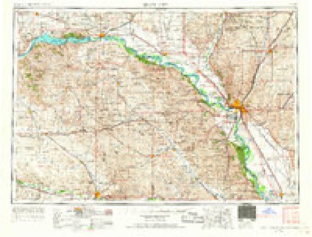
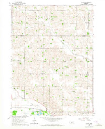
9 topographic sheets cover this place, the earliest surveyed in 1955 and the latest in 1986. It stands in Plum Creek precinct. It lies in ZIP code area 68787. The Survey maps it on the Altona quadrangle.
Topographic sheets covering this place
5 surveys from 9 printed sheetsMatched by testing this settlement's coordinate against the published boundary of every sheet in the United States Geological Survey's historical collection. Each opens the scanned sheet at the Survey.
- 1955 USGS Sioux City quadrangle1:250000, 4 printings
- 1958 USGS Sioux City quadrangle1:250000
- 1959 USGS Sioux City quadrangle1:250000
- 1963 USGS Altona quadrangle1:24000
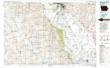
- 1986 USGS Sioux City South quadrangle1:100000, 2 printings
Fires near this place
1 since 2015Regional context, not property-specific evidence. The federal wildfire occurrence database lists 1 fire within 5 miles of Altona in 2015, burning about 1 acre in total. None started naturally. None was recorded as arson. Distance is straight-line from the map coordinates, so a fire counted here may appear on a neighbouring settlement's page as well.
| Reported cause | Fires |
|---|---|
| Missing data/not specified/undetermined | 1 |
The most recent of them, most recent first, with the day each was reported and the service that recorded it.
| Date | Cause | Size | Reported by | Name on the report |
|---|---|---|---|---|
| 27 March 2015 | Missing data/not specified/undetermined | 1.0 acres | Nebraska Forest Service | not named |
Storms near this place
6 since 2008Regional context, not property-specific evidence. The National Weather Service names Altona in 6 storm reports between 2008 and 2014: 5 tornado, 1 hail. The reports record 15 injuries. Each account below is quoted exactly as the forecast office filed it, from the NOAA Storm Events Database, and each date opens the federal record of that event.
| When | Event | Place named | Harm | What the report says |
|---|---|---|---|---|
| October 2013 | Tornado (EF4) | Altona | 15 hurt | This violent tornado started 8 miles southwest of Wayne, Nebraska and flattened corn crops and tore off large limbs of some trees. Gaining strength as it headed northeast, the tornado struct a farmstead about 4.5 miles southwest of Wayne. Here barns and sheds were severely damaged or destroyed. The tornado became very wide at this point, nearly 1.25 miles wide. About 2 miles south of Wayne the tornado severely damaged a farmstead and then cased strong EF-3 damage to two homes along highway 15. The tornado then missed the downtown and residential district of Wayne and severely damaged a softball complex on the southeast side of town. ||The most significant damage occurred in the industrial part area on the east side of Wayne. Numerous metal building structures, some of them quiet large, sustained serious damage or were mangled into rubble. It was here the tornado was rated EF-3 with a couple of small pockets of low-end EF-4 damage. The tornado then crossed highway 35 and impacted the Wayne Municipal Airport. Two hangers were flattened. Some private aircraft were tumbled and ripped up. The automated weather observing station at the airport was also torn up. Continuing northeast, the tornado struck another farmstead and caused EF-2 damage to a home. Damage continued northeast at it tracked into Dixon County. The damage in the Wayne area was estimated at $50 million. |
| June 2014 | Tornado (EF4) | Altona | $3,000,000 | This tornado developed as the Pilger tornado was beginning to enter the rope stage. The Pilger tornado rotated around the south side of this developing tornado before completely dissipating. As this tornado moved north, along and to the east of State Highway 16 it grew in size and intensity. The tornado impacted numerous farmsteads along its path in eastern Wayne County producing varying degrees of damage, but the tornado was particularly violent in a two mile stretch between 853rd and 855th Roads where 4 houses were completely destroyed down to the foundation. The tornado also destroyed outbuildings, power poles, and debarked trees in these locations as well. The tornado became wrapped in rain as it moved to the east of Wakefield. The tornado entered Dixon County about 2.25 miles east of Wakefield. |
| June 2014 | Tornado (EF4) | Altona | $1,500,000 | This is a continuation of the Pilger tornado that went through Stanton and Cuming into Wayne County. Once entering the county the tornado produced violent damage at two farmsteads where the houses were completely destroyed down to the foundation. The tornado finally started to narrow and weaken as a new tornado developed to the northeast. As this occurred the tornado narrowed and accelerated to the east northeast to the south of the new tornado before finally dissipating. |
| June 2014 | Tornado (EF2) | Altona | $75,000 | This tornado, after crossing in front of the Pilger tornado, moved out of Cuming County and into Wayne County. The tornado continued for about 2 miles into the County before roping out and dissipating. As the tornado crossed into Wayne County it impacted a cattle ranch to the north of Y Road where over 300 head of cattle were killed as well as destroying outbuildings. As the tornado moved north northwest, while slowing, it impacted a brick home between 847th and 848th Roads where the second story was removed as well as some outside walls. |
| June 2010 | Tornado (EF0) | Altona | - | A tornado briefly touched down about 9 miles north of Wisner and was on the ground for around a mile and a quarter. Soybean crops were damaged by the tornado with little other damage noted. There were some local reports that the tornado moved south and then southwest while the parent thunderstorm was moving northeast. |
| June 2008 | Hail | Altona | - | no account filed |
Nearest settlements
The eight closest, with where each one stands in the county. Distances are straight-line, computed from the Geographic Names Information System coordinates.
Elsewhere
Matched on this settlement's Geographic Names Information System number rather than its name, so it cannot be a different place of the same name in another state.
| Wikipedia article on Altona | An encyclopaedic summary. Its text is share-alike, so it is linked here rather than copied. |
| Wikidata item Q17985514 | The structured record the population and elevation above come from. Public domain (CC0). |
Provenance
This settlement is recorded in the Geographic Names Information System as feature 835228. The sheet list is computed by point-in-boundary test against the United States Geological Survey's historical topographic inventory. Both are works of the United States government and carry no copyright under 17 U.S.C. 105.
Wildfire. Short, Karen C. 2022. Spatial wildfire occurrence data for the United States, 1992-2020 [FPA_FOD_20221014]. 6th Edition. Fort Collins, CO: Forest Service Research Data Archive. https://doi.org/10.2737/RDS-2013-0009.6 Collected with United States Government funding and usable without additional permissions or fees.
Storms. NOAA National Centers for Environmental Information, Storm Events Database https://www.ncei.noaa.gov/stormevents/ A work of the United States government, no copyright under 17 U.S.C. 105. Narratives are quoted verbatim from the National Weather Service report and are not edited or summarised.