 Block
Juniata, Nebraska
13 topographic sheets cover this place, the earliest surveyed in 1894 and the latest in 1985. It stands in Juniata Township. It lies in ZIP code area 68955. The Survey maps it on the Juniata quadrangle. 748 people lived here at the 2020 count. It stands 1,962 feet above sea level.
Population over time
2 figuresJuniata fell from 755 to 748 between 2010 and 2020. These are the recorded population figures Wikidata holds for this place, reached through the Geographic Names Information System number this page is keyed on rather than by name, so they belong to this place and not to another of the same name. Most are census counts, but not all are: an early figure may be a founding or settlement estimate, and an estimate published within five years of a census is left out. The change column is computed, and is left blank where more than 20 years separate a figure from the one before it, because a gap that long is not a change between two counts.
| Year | People | Change |
|---|---|---|
| 2010 | 755 | |
| 2020 | 748 | -7 (-1%) |
Topographic sheets covering this place
7 surveys from 13 printed sheetsMatched by testing this settlement's coordinate against the published boundary of every sheet in the United States Geological Survey's historical collection. Each opens the scanned sheet at the Survey.
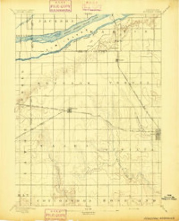
- 1894 USGS Kenesaw quadrangle1:62500
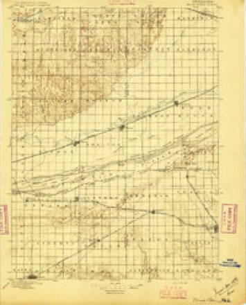
- 1896 USGS Wood River quadrangle1:125000, 4 printings
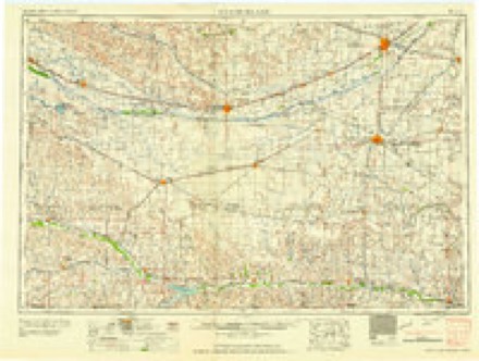
- 1955 USGS Grand Island quadrangle1:250000, 3 printings
- 1957 USGS Grand Island quadrangle1:250000
- 1958 USGS Grand Island quadrangle1:250000
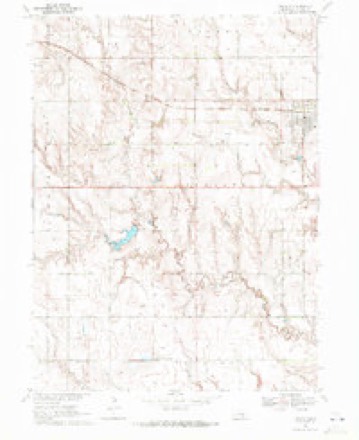
- 1969 USGS Juniata quadrangle1:24000
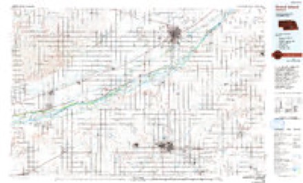
- 1985 USGS Grand Island quadrangle1:100000, 2 printings
What happened here
An account from the chapter on Juniata township. The inset identifies its exact source book and publication year.
I.Ibeuty District Tragedy
man of the district, was killed. Irvin Faribee, another youngman of the district, was paying court to Young's sister. Belle Young, and bad feeling was aroused between the two young men at a charivari held in the neighborhood and Young forbade Faribee to keep company with his sister. All the parties concerned were high spirited Kentuckians and young Faribee paid no heed to Young's warning.
In the county-history sources
5,233 words on this townshipPast and Present of Adams County, Nebraska, published 1916 names this settlement in its chapter on Juniata Township. These are the passages that mention it, exactly as the scans read.
Juniata, with a population according to the census of 1910 of 471, is located around the center of section 12, township 7, range 11. 'It lies four miles west of the western extremity of Hastings and the Burlington station at Juniata is seven miles west of the Burlington station in Hastings.
Passage source: Past and Present of Adams County, Nebraska, published 1916.
The first settlers around Juniata were a colony from IMichigan, at the head of whom Mere Adna H. Bowen, now residing in Idaho, and Samuel L. Brass. The exact location was determined by two representatives of the Burlington Railroad, D. X. Smith and another man who some of the early settlers recall by the name of Wylsie. The foiu- quarters of section 12 were preempted by Titus Babcock, R. D. Babcock, Isaac Stark and John Stark. The Babcocks were brothers and Isaac Stark was the father of John Stark. These four took their preemiJtions in Febi-uary, 1871.
Passage source: Past and Present of Adams County, Nebraska, published 1916.
Under each of the four inside corners of the quarters of section 12 the preempt ors erected houses which were ready for occupancy about the middle of ]March, 1871, and these formed the nucleus aroimd which Juniata Avas built. The houses were built of lumber hauled from Grand Island, and each was 14 by 16 feet and lV> stories high. These first settlers came to Grand Island over the Union Pacific and then came overland to Juniata bringing their supplies with them. The greatest drawback upon reaching the place was the lack of water, and it was about a month after their arrival before the railroad bored a well for their use at about the present location of tlie G. A. R. Hall. Until the well Mas bored, drinking water Mas hauled from Martin's Ranch on the Platte, a distance of about tMcnty-five .351
Passage source: Past and Present of Adams County, Nebraska, published 1916.
Machine-read from a century-old scan, so expect the errors a machine makes: misspelled names, dropped words, stray characters.
Read the whole chapter on Juniata Township - it names this place 30 more 30 times.
Fires near this place
26 since 2005Regional context, not property-specific evidence. The federal wildfire occurrence database lists 26 fires within 5 miles of Juniata between 2005 and 2020, burning about 143 acres in total. None started naturally. 1 was recorded as arson. Distance is straight-line from the map coordinates, so a fire counted here may appear on a neighbouring settlement's page as well.
| Reported cause | Fires |
|---|---|
| Debris and open burning | 17 |
| Equipment and vehicle use | 3 |
| Railroad operations and maintenance | 3 |
| Missing data/not specified/undetermined | 2 |
| Arson/incendiarism | 1 |
The most recent of them, most recent first, with the day each was reported and the service that recorded it.
| Date | Cause | Size | Reported by | Name on the report |
|---|---|---|---|---|
| 23 September 2013 | Debris and open burning | under an acre | Nebraska Forest Service | not named |
| 13 September 2005 | Equipment and vehicle use | under an acre | Nebraska Forest Service | not named |
| 4 July 2012 | Arson/incendiarism | under an acre | Nebraska Forest Service | not named |
| 22 July 2012 | Debris and open burning | 2.5 acres | Nebraska Forest Service | not named |
| 8 June 2016 | Debris and open burning | under an acre | Nebraska Forest Service | not named |
| 30 June 2011 | Debris and open burning | under an acre | Nebraska Forest Service | not named |
| 27 June 2010 | Railroad operations and maintenance | 1.0 acres | Nebraska Forest Service | not named |
| 3 May 2013 | Debris and open burning | 6.0 acres | Nebraska Forest Service | not named |
Settlements close enough to share some of these fires:
Storms near this place
37 since 1994Regional context, not property-specific evidence. The National Weather Service names Juniata in 37 storm reports between 1994 and 2019: 19 hail, 9 thunderstorm wind, 6 heavy rain, 3 tornado. No death or injury is recorded in these reports. Each account below is quoted exactly as the forecast office filed it, from the NOAA Storm Events Database, and each date opens the federal record of that event.
| When | Event | Place named | Harm | What the report says |
|---|---|---|---|---|
| June 2017 | Hail | Juniata | $2,500,000 | Hail along and near this path ranged in size from quarters to baseballs. The entire city of Hastings experienced hail ranging in size from quarters to hen eggs, while the largest hail fell to the west-southwest of Hastings to a few miles south of Juniata. The NWS Hastings office located 4 miles north of downtown reported half dollar size hail. |
| May 2012 | Hail | Juniata | $1,800,000 | no account filed |
| August 2019 | Thunderstorm Wind | Juniata | $1,000,000 | A 76 MPH wind gust was measured by the Hastings Airport ASOS at 2:59 AM CDT. Wind gusts were estimated to be near 70 to 75 MPH along this path. A light helicopter was blown over at the Hastings Airport. Quarter to half dollar size hail was also reported near the airport, which combined with intense winds to shred trees, crops and gardens, and damage house siding, in and near the west side of Hastings. |
| October 2013 | Heavy Rain | Juniata | $400,000 | A rainfall total of 6.35 inches occurred. |
| May 2013 | Hail | Juniata | $125,000 | no account filed |
| October 2014 | Hail | Juniata | $100,000 | Copious amounts of hail were covering Highway 6, with some hail up to the size of quarters. |
| August 2014 | Thunderstorm Wind | Juniata | $62,000 | no account filed |
| June 2009 | Hail | Juniata | $50,000 | no account filed |
| May 2004 | Thunderstorm Wind | Juniata | $50,000 | no account filed |
| August 1998 | Hail | Juniata | $50,000 | no account filed |
| August 2007 | Thunderstorm Wind | Juniata | $15,000 | no account filed |
| July 1997 | Hail | Juniata | $15,000 | no account filed |
| June 2014 | Hail | Juniata | $3,000 | no account filed |
| June 2016 | Tornado (EF0) | Juniata | $2,000 | This landspout tornado briefly touched down roughly 2.5 miles southwest of Juniata. Damage was confined to a roof being partially torn off of a metal outbuilding. Maximum wind speed was estimated to be between 75 and 80 MPH. |
| June 2019 | Thunderstorm Wind | Juniata | - | Widespread wind gusts of 60 to 65 MPH were reported in and around Hastings, with a few higher measured gusts. A wind gust of 68 MPH was measured at 1:09 AM CDT by a mesonet station located 3 miles east-southeast of Juniata, and a gust of 67 MPH was measured at 1:18 AM CDT by a mesonet station located 4 miles east-southeast of Hastings. There were numerous reports of tree limbs, at least some larger than 6 inches in diameter, downed across the area. Some trees were uprooted, including southwest of Hastings at Southern Hills Golf Course. A power line was knocked down across 12th Street in Hastings. |
| October 2017 | Thunderstorm Wind | Juniata | - | Wind gusts were estimated to be near 60 MPH and were accompanied by nickel size hail. |
| October 2017 | Hail | Juniata | - | Nickel size hail was reported along with estimated wind gusts near 60 MPH. |
| August 2016 | Heavy Rain | Juniata | - | Storm-total rainfall of 3.72 inches...all of which fell between 9:30 p.m. and 5 a.m. CDT. |
| June 2014 | Heavy Rain | Juniata | - | A 24 hour rain total of 3.60 inches fell one mile east northeast of Juniata. The rain occurred during the late evening into the overnight hours. |
| April 2014 | Heavy Rain | Juniata | - | A 24 hour rainfall total of 3.25 inches occurred about a mile east of Juniata. This report was from an NERAIN observer. |
| October 2013 | Heavy Rain | Juniata | - | A rainfall total of 5.40 inches occurred. |
| May 2008 | Heavy Rain | Juniata | - | An estimated 1.60 inches of rain had fallen during the night. |
| June 1994 | Thunderstorm Wind | Juniata | - | Thunderstorm winds gusted up to 90 mph across the northern part of Adams County causing extensive power line damage. Tree and roof damage also occurred. A van was crushed by a falling tree. Three air conditioning units were blown off of a business causing a gas leak. A utility shed was blown into the side of a church, damaging the entrance and an air conditioning unit. Numerous grain bins were destroyed. |
| June 1994 | Tornado (F1) | Juniata | - | A tornado north of Hastings caused extensive damage to one house and one business. Another tornado just north of Juniata damaged two farm houses, destroyed several outbuildings, and overturned vehicles. Crop damage in Adams County was estimated at $10 million. Streets and underpasses were flooded in Hastings. |
| May 2019 | Hail | Juniata | - | no account filed |
| May 2018 | Thunderstorm Wind | Juniata | - | no account filed |
| May 2017 | Thunderstorm Wind | Juniata | - | no account filed |
| July 2014 | Hail | Juniata | - | no account filed |
| June 2014 | Hail | Juniata | - | no account filed |
| June 2014 | Hail | Juniata | - | no account filed |
| June 2014 | Hail | Juniata | - | no account filed |
| May 2014 | Hail | Juniata | - | no account filed |
| May 2013 | Hail | Juniata | - | no account filed |
| September 2007 | Hail | Juniata | - | no account filed |
| May 2006 | Hail | Juniata | - | no account filed |
| May 1999 | Tornado (F0) | Juniata | - | no account filed |
| March 1997 | Hail | Juniata | - | no account filed |
Nearest settlements
The eight closest, with where each one stands in the county. Distances are straight-line, computed from the Geographic Names Information System coordinates.
| Map | Place | Distance | Sheets |
|---|---|---|---|
| Ingleside | 3.4 miles | 14 | |
| Countryside Parks | 6.2 miles | 14 | |
| Hastings | 6.2 miles | 14 | |
| Assumption | 6.5 miles | 13 | |
| Hayland | 6.7 miles | 14 | |
| Good Samaritan Village | 7.4 miles | 13 | |
| Prosser | 7.7 miles | 14 | |
| Kingswood Plaza | 7.7 miles | 13 |
Elsewhere
Matched on this settlement's Geographic Names Information System number rather than its name, so it cannot be a different place of the same name in another state.
| Wikipedia article on Juniata | An encyclopaedic summary. Its text is share-alike, so it is linked here rather than copied. |
| Wikidata item Q2653589 | The structured record the population and elevation above come from. Public domain (CC0). |
Provenance
This settlement is recorded in the Geographic Names Information System as feature 830427. The sheet list is computed by point-in-boundary test against the United States Geological Survey's historical topographic inventory. Both are works of the United States government and carry no copyright under 17 U.S.C. 105.
Wildfire. Short, Karen C. 2022. Spatial wildfire occurrence data for the United States, 1992-2020 [FPA_FOD_20221014]. 6th Edition. Fort Collins, CO: Forest Service Research Data Archive. https://doi.org/10.2737/RDS-2013-0009.6 Collected with United States Government funding and usable without additional permissions or fees.
Storms. NOAA National Centers for Environmental Information, Storm Events Database https://www.ncei.noaa.gov/stormevents/ A work of the United States government, no copyright under 17 U.S.C. 105. Narratives are quoted verbatim from the National Weather Service report and are not edited or summarised.