 Block
Rose, Nebraska
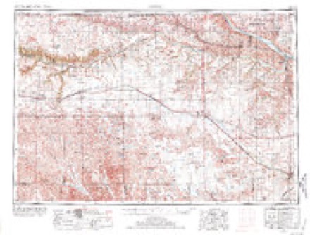
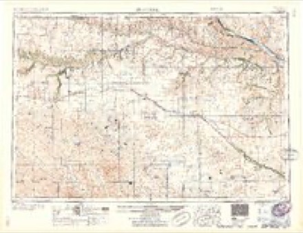
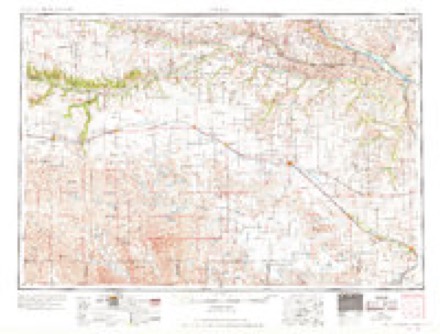
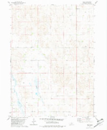
9 topographic sheets cover this place, the earliest surveyed in 1955 and the latest in 1989. It stands in Pewaukee precinct. It lies in ZIP code area 68714. The Survey maps it on the Rose quadrangle.
Topographic sheets covering this place
6 surveys from 9 printed sheetsMatched by testing this settlement's coordinate against the published boundary of every sheet in the United States Geological Survey's historical collection. Each opens the scanned sheet at the Survey.
- 1955 USGS O'Neill quadrangle1:250000, 2 printings
- 1959 USGS O'Neill quadrangle1:250000, 2 printings
- 1969 USGS O'Neill quadrangle1:250000
- 1981 USGS Rose quadrangle1:24000
- 1985 USGS Rose quadrangle1:100000, 2 printings
- 1989 USGS O'Neill quadrangle1:250000
Fires near this place
1 since 2006Regional context, not property-specific evidence. The federal wildfire occurrence database lists 1 fire within 5 miles of Rose in 2006, burning under an acre in total. None started naturally. None was recorded as arson. Distance is straight-line from the map coordinates, so a fire counted here may appear on a neighbouring settlement's page as well.
| Reported cause | Fires |
|---|---|
| Power generation/transmission/distribution | 1 |
The most recent of them, most recent first, with the day each was reported and the service that recorded it.
| Date | Cause | Size | Reported by | Name on the report |
|---|---|---|---|---|
| 30 August 2006 | Power generation/transmission/distribution | under an acre | John W and Louise Seier National Wildlife Refuge | SEIER |
Settlements close enough to share some of these fires:
Storms near this place
60 of 101 shownRegional context, not property-specific evidence. The National Weather Service names Rose in 101 storm reports between 1993 and 2025: 89 hail, 8 thunderstorm wind, 4 tornado. No death or injury is recorded in these reports. Each account below is quoted exactly as the forecast office filed it, from the NOAA Storm Events Database, and each date opens the federal record of that event.
| When | Event | Place named | Harm | What the report says |
|---|---|---|---|---|
| May 2011 | Hail | Rose | $100,000 | Fire Chief reported large hail fell for 20 minutes in Sybrant. The large hail broke out several vehicle windows and four homes had windows and siding broken or damaged. |
| June 2008 | Tornado (EF2) | Rose | $50,000 | This multiple vortex tornado formed near Rose and tracked northeast for about 20 miles before exiting Rock County about 13 miles south-southeast of Newport at 1500 CST. In Rock County, the tornado broke power poles, shifted a house off its foundation a few inches, destroyed outbuildings, overturned a couple of center pivot irrigation systems, and snapped trees. The tornado maintained the EF2 intensity through Rock and Holt County. The average path width in Rock County was 30 yards. |
| June 1998 | Hail | Rose | $50,000 | Damage to vehicles and buildings |
| June 2007 | Hail | Rose | $35,000 | Golfball hail for 20 minutes along northern shore of Pony Lake. |
| June 2007 | Hail | Rose | $15,000 | no account filed |
| July 2001 | Hail | Rose | $12,000 | no account filed |
| July 2001 | Hail | Rose | $10,000 | no account filed |
| July 2001 | Hail | Rose | $6,000 | no account filed |
| May 2011 | Hail | Rose | $5,000 | Windows broken out of a home. |
| August 1996 | Thunderstorm Wind | Rose | $5,000 | no account filed |
| July 2003 | Hail | Rose | $3,000 | no account filed |
| July 2003 | Hail | Rose | $3,000 | no account filed |
| August 2017 | Thunderstorm Wind | Rose | $2,000 | A two to three foot diameter tree uprooted at this location. |
| May 2008 | Hail | Rose | $2,000 | Softball size hail was observed at the Rose church. Windows were knocked out of one vehicle. |
| September 2001 | Thunderstorm Wind | Rose | $2,000 | 4 inch tree limbs down. |
| June 1999 | Hail | Rose | $2,000 | no account filed |
| May 2011 | Hail | Rose | $1,000 | Two vehicles had windshields damaged from hail. One vehicle rear window was also broken out. Hail covered the ground. |
| May 2004 | Hail | Rose | $1,000 | no account filed |
| October 2001 | Hail | Rose | $1,000 | no account filed |
| June 2024 | Hail | Rose | - | Time estimated by Radar. |
| August 2019 | Thunderstorm Wind | Rose | - | Measured winds from automated weather station. |
| September 2012 | Thunderstorm Wind | Rose | - | The damaging winds blew down several tree limbs. The size of the limbs were unknown. |
| May 2011 | Tornado (EF0) | Rose | - | Brief tornado touched down in the sandhills 100 to 300 yards east of Highway 183. |
| May 2011 | Hail | Rose | - | Hail covered the ground. |
| June 2010 | Thunderstorm Wind | Rose | - | The public reported severe wind gusts tearing some shingles off a home and downing a tree. |
| August 2010 | Thunderstorm Wind | Rose | - | The public reported wind gusts in excess of 60 mph with torrential rainfall. |
| May 2008 | Hail | Rose | - | The fire chief of the volunteer fire department reported golfball to tennis ball size hail covering the ground to a depth of 8 to 10 inches. |
| June 2003 | Tornado (F0) | Rose | - | A weak tornado touched down in open rangeland. |
| June 2003 | Tornado (F0) | Rose | - | The tornado touched down in an open pasture. |
| July 2003 | Thunderstorm Wind | Rose | - | Thunderstorm outflow broke large limbs off trees at a ranch. |
| June 2025 | Hail | Rose | - | no account filed |
| June 2024 | Hail | Rose | - | no account filed |
| June 2024 | Hail | Rose | - | no account filed |
| June 2024 | Hail | Rose | - | no account filed |
| May 2024 | Hail | Rose | - | no account filed |
| July 2024 | Hail | Rose | - | no account filed |
| June 2020 | Hail | Rose | - | no account filed |
| June 2020 | Hail | Rose | - | no account filed |
| June 2020 | Hail | Rose | - | no account filed |
| June 2020 | Hail | Rose | - | no account filed |
| June 2020 | Hail | Rose | - | no account filed |
| June 2020 | Hail | Rose | - | no account filed |
| August 2019 | Hail | Rose | - | no account filed |
| June 2018 | Hail | Rose | - | no account filed |
| June 2017 | Hail | Rose | - | no account filed |
| June 2016 | Hail | Rose | - | no account filed |
| September 2015 | Hail | Rose | - | no account filed |
| July 2014 | Hail | Rose | - | no account filed |
| July 2014 | Hail | Rose | - | no account filed |
| May 2012 | Hail | Rose | - | no account filed |
| September 2012 | Hail | Rose | - | no account filed |
| May 2011 | Hail | Rose | - | no account filed |
| May 2011 | Hail | Rose | - | no account filed |
| June 2010 | Hail | Rose | - | no account filed |
| October 2010 | Hail | Rose | - | no account filed |
| May 2008 | Hail | Rose | - | no account filed |
| May 2008 | Hail | Rose | - | no account filed |
| May 2008 | Hail | Rose | - | no account filed |
| May 2008 | Hail | Rose | - | no account filed |
| June 2008 | Hail | Rose | - | no account filed |
Nearest settlements
The eight closest, with where each one stands in the county. Distances are straight-line, computed from the Geographic Names Information System coordinates.
Provenance
This settlement is recorded in the Geographic Names Information System as feature 835430. The sheet list is computed by point-in-boundary test against the United States Geological Survey's historical topographic inventory. Both are works of the United States government and carry no copyright under 17 U.S.C. 105.
Wildfire. Short, Karen C. 2022. Spatial wildfire occurrence data for the United States, 1992-2020 [FPA_FOD_20221014]. 6th Edition. Fort Collins, CO: Forest Service Research Data Archive. https://doi.org/10.2737/RDS-2013-0009.6 Collected with United States Government funding and usable without additional permissions or fees.
Storms. NOAA National Centers for Environmental Information, Storm Events Database https://www.ncei.noaa.gov/stormevents/ A work of the United States government, no copyright under 17 U.S.C. 105. Narratives are quoted verbatim from the National Weather Service report and are not edited or summarised.