 Block
Tilden, Nebraska
9 topographic sheets cover this place, the earliest surveyed in 1955 and the latest in 1985. It stands in Tilden City. It lies in ZIP code area 68781. It stands on Al Hopins Creek. The Survey maps it on the Tilden quadrangle. 992 people lived here at the 2020 count. It stands 1,683 feet above sea level.
Population over time
2 figuresTilden grew from 953 to 992 between 2010 and 2020. These are the recorded population figures Wikidata holds for this place, reached through the Geographic Names Information System number this page is keyed on rather than by name, so they belong to this place and not to another of the same name. Most are census counts, but not all are: an early figure may be a founding or settlement estimate, and an estimate published within five years of a census is left out. The change column is computed, and is left blank where more than 20 years separate a figure from the one before it, because a gap that long is not a change between two counts.
| Year | People | Change |
|---|---|---|
| 2010 | 953 | |
| 2020 | 992 | +39 (+4%) |
Topographic sheets covering this place
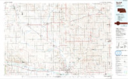
5 surveys from 9 printed sheetsMatched by testing this settlement's coordinate against the published boundary of every sheet in the United States Geological Survey's historical collection. Each opens the scanned sheet at the Survey.
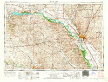
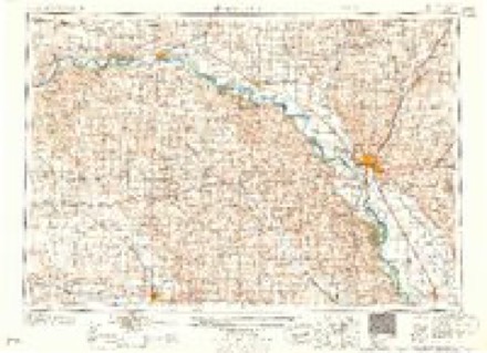
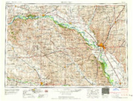
- 1955 USGS Sioux City quadrangle1:250000, 4 printings
- 1958 USGS Sioux City quadrangle1:250000
- 1959 USGS Sioux City quadrangle1:250000
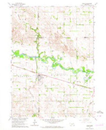
- 1963 USGS Tilden quadrangle1:24000
- 1985 USGS Norfolk quadrangle1:100000, 2 printings
Storms near this place
24 since 1997Regional context, not property-specific evidence. The National Weather Service names Tilden in 24 storm reports between 1997 and 2024: 13 hail, 7 thunderstorm wind, 2 flood, 1 tornado. The reports record 2 deaths. Each account below is quoted exactly as the forecast office filed it, from the NOAA Storm Events Database, and each date opens the federal record of that event.
| When | Event | Place named | Harm | What the report says |
|---|---|---|---|---|
| June 2010 | Flood | Tilden | 1 killed, $1,000,000 | Rainfall of at least 3 to 5 inches fell over much of the upper Elkhorn River basin in the week ending 7am 6/12. This caused record or near record flooding along the Elkhorn River from around Clearwater and Neligh downstream to the Elkhorn's confluence with the Platte River. The flooding was prolonged and intensified by additional rains the next few days. In Madison county many gravel roads along the Elkhorn were flooded as were Highways 81 and 275 near and west of Norfolk which were closed for a while. On 6/15 a railroad bridge just southwest of Norfolk washed away with 3 people on it that were assessing possible damage. One person was drowned, the 2 others were rescued. Another railroad bridge west of Norfolk and several sections of the Cowboy Trail bike trail was washed out. A levee just south of Norfolk helped prevent major damage, but some damage was noted to businesses and nearly 70 homes on the south part of town despite sandbagging. In addition a park on the south side of town received extensive damage. Farmland along the river sustained crop damage and had sand deposited on fields by the receding river. The Elkhorn River near Norfolk reached a record crest of around 16.9 feet during the evening of 6/16, flood stage is 12 feet. The river at Norfolk was above flood stage from the early morning hours of June 15th until mid evening on the 17th, although flooding likely started earlier upstream of the levee near Norfolk. |
| March 2019 | Flood | Tilden | 1 killed, $194,000 | This is for flooding along the Elkhorn River. The river gage at Norfolk, operated by the USGS, peaked at 15.5 feet at 7 am on March 14th. Minor flood stage is 12 feet. Major flood stage is 17 feet. Preliminary this was the 3rd highest crest on record. A 30 year old man was killed by flood waters when he was on top of a car at 4 am CDT on the 14th in a field east of north First Street in Norfolk. Water swept away the man and the body was never found. Water closed US Hyway 275 on the 14th and numerous streets were under water due to the flooding in Norfolk. |
| June 2024 | Hail | Tilden | - | A swath of severe hail began in far northwestern Madison County and extended southeast into central Madison County. The office received several reports of hail ranging from half-dollar to baseball sized. One report between Tilden and Meadow Grove came into the office of a shattered windshield. Towards the end of the hail swath, broadcast media relayed a report of a 3.5 inch hail stone between Meadow Grove and Battle Creek. |
| July 2021 | Thunderstorm Wind | Tilden | - | Emergency manager reported a large tree down on a house trapping the family inside. |
| June 2021 | Hail | Tilden | - | Public reported 1.5 inch hail. |
| May 2020 | Thunderstorm Wind | Tilden | - | Public personal weather station reported 75 MPH wind. |
| July 2018 | Thunderstorm Wind | Tilden | - | Several large tree branches were reported down in Tilden. |
| May 2013 | Thunderstorm Wind | Tilden | - | Tree branches were blown down in the city of Tilden from the strong winds. |
| May 2012 | Hail | Tilden | - | Hail, the largest estimated to be around half dollar-size, caused crop damage in a path from south of Tilden to a little south of Meadow Grove. The hail was from the same supercell thunderstorm that produced a tornado a little southeast of the region. Time was estimated from radar. |
| July 2011 | Thunderstorm Wind | Tilden | - | Thunderstorm wind gusts estimated at around 60 mph caused tree damage in the Tilden area. Some of the fallen trees caused damage to at least one home. |
| June 2006 | Thunderstorm Wind | Tilden | - | Thunderstorm wind gusts estimated at 60 mph blew down a large section of a tree in town. |
| June 2005 | Flash Flood | Tilden | - | Rainfall of 3 inches in a few hours flooded several county roads south of Tilden. Doppler radar estimated that a small area in western Madison county, in the Battle Creek drainage basin, could have received up to 10 inches of rain from these storms. |
| April 2000 | Tornado (F0) | Tilden | - | Brief touchdown of a rain wrapped tornado. |
| March 2006 | Hail | Tilden | - | no account filed |
| March 2006 | Hail | Tilden | - | no account filed |
| August 2006 | Thunderstorm Wind | Tilden | - | no account filed |
| June 2005 | Hail | Tilden | - | no account filed |
| June 2005 | Hail | Tilden | - | no account filed |
| September 2004 | Hail | Tilden | - | no account filed |
| July 2004 | Hail | Tilden | - | no account filed |
| June 2002 | Hail | Tilden | - | no account filed |
| July 2001 | Hail | Tilden | - | no account filed |
| August 2001 | Hail | Tilden | - | no account filed |
| March 1997 | Hail | Tilden | - | no account filed |
Nearest settlements
The eight closest, with where each one stands in the county. Distances are straight-line, computed from the Geographic Names Information System coordinates.
| Map | Place | Distance | Sheets |
|---|---|---|---|
| Meadow Grove | 5.4 miles | 9 | |
| Emerick | 11.3 miles | 9 | |
| Battle Creek | 12.9 miles | 9 | |
| Fairview (historical) | 17.4 miles | 9 | |
| Kalamazoo | 18.2 miles | 9 | |
| Newman Grove | 20.7 miles | 9 | |
| Warnerville | 21.4 miles | 9 | |
| Enola | 22.0 miles | 9 |
Elsewhere
Matched on this settlement's Geographic Names Information System number rather than its name, so it cannot be a different place of the same name in another state.
| Wikipedia article on Tilden | An encyclopaedic summary. Its text is share-alike, so it is linked here rather than copied. |
| Wikidata item Q955426 | The structured record the population and elevation above come from. Public domain (CC0). |
Provenance
This settlement is recorded in the Geographic Names Information System as feature 834109. The sheet list is computed by point-in-boundary test against the United States Geological Survey's historical topographic inventory. Both are works of the United States government and carry no copyright under 17 U.S.C. 105.
Storms. NOAA National Centers for Environmental Information, Storm Events Database https://www.ncei.noaa.gov/stormevents/ A work of the United States government, no copyright under 17 U.S.C. 105. Narratives are quoted verbatim from the National Weather Service report and are not edited or summarised.