 Block
From the record
11 National Register listings published here.
Sources: the county history on the Internet Archive · the National Register database, National Park Service
124 topographic sheets cover 58 settlements here, and 11 properties are on the National Register of Historic Places.
11 National Register listings published here.
Sources: the county history on the Internet Archive · the National Register database, National Park Service
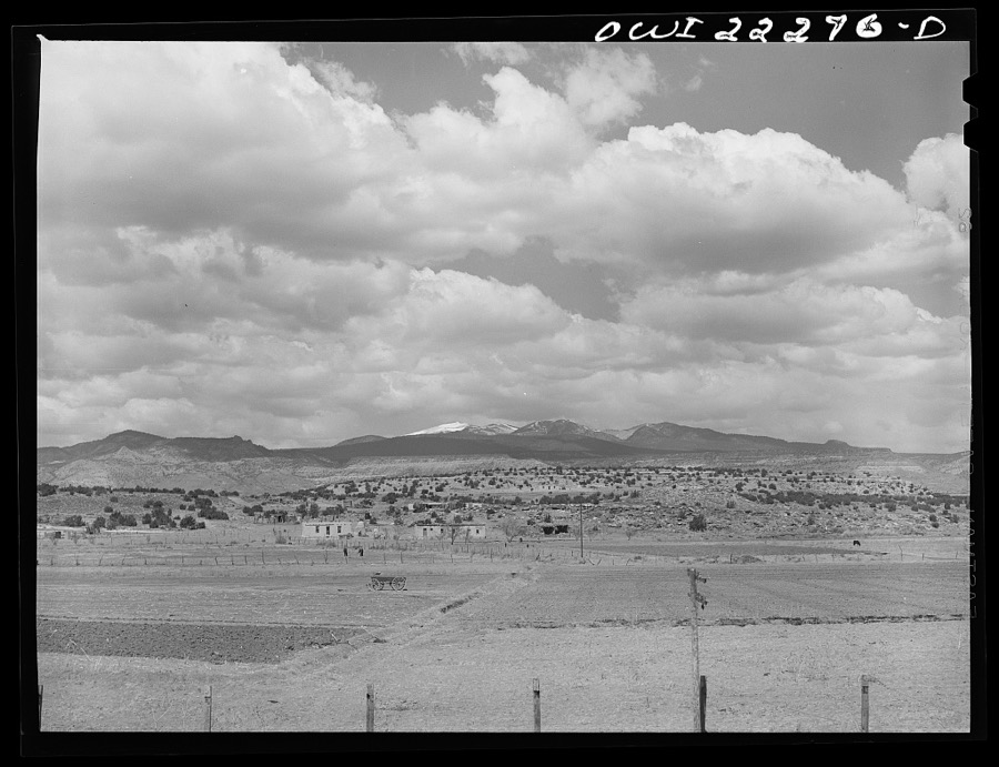
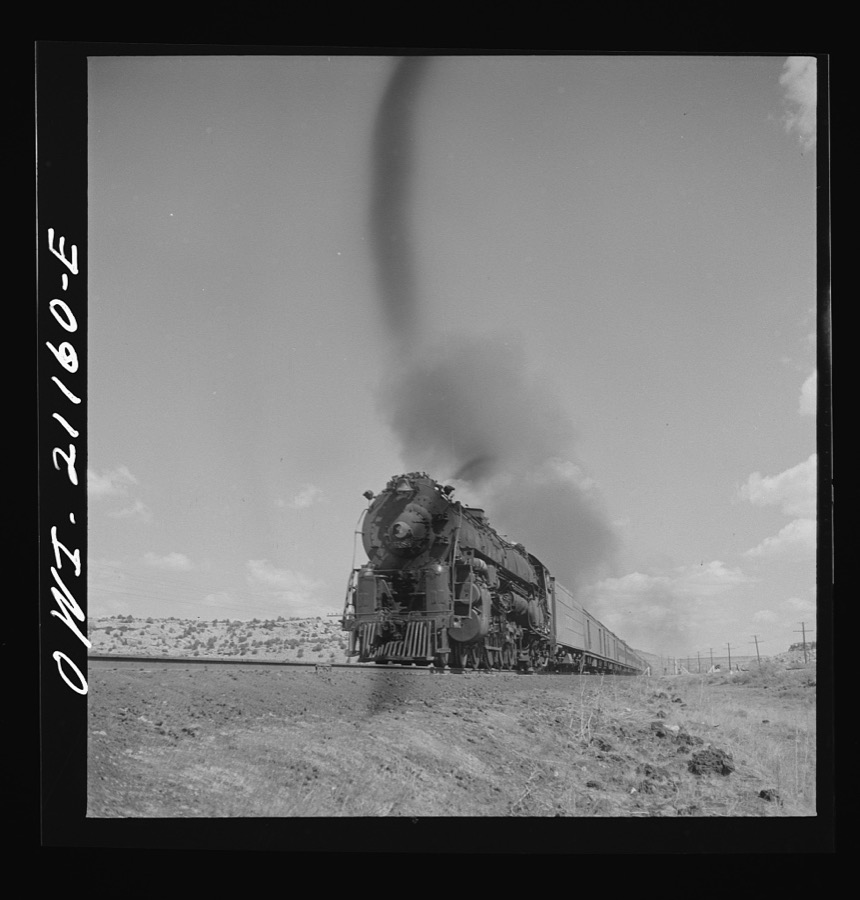
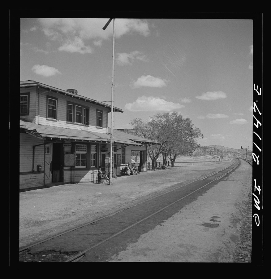
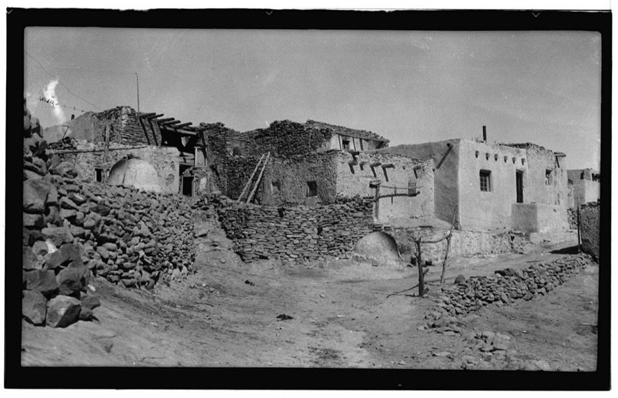
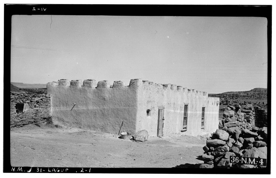
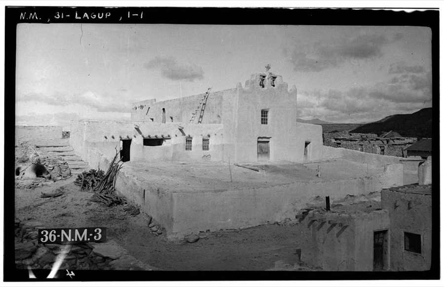
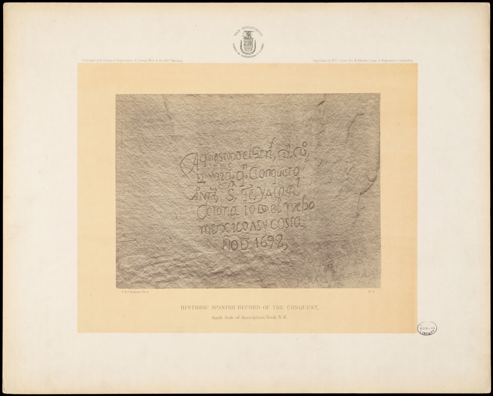
Taken for the Office of War Information and the Farm Security Administration, who photographed the country between 1935 and 1944. Works of United States government photographers, with no known restriction on use. Each opens its catalogue record.
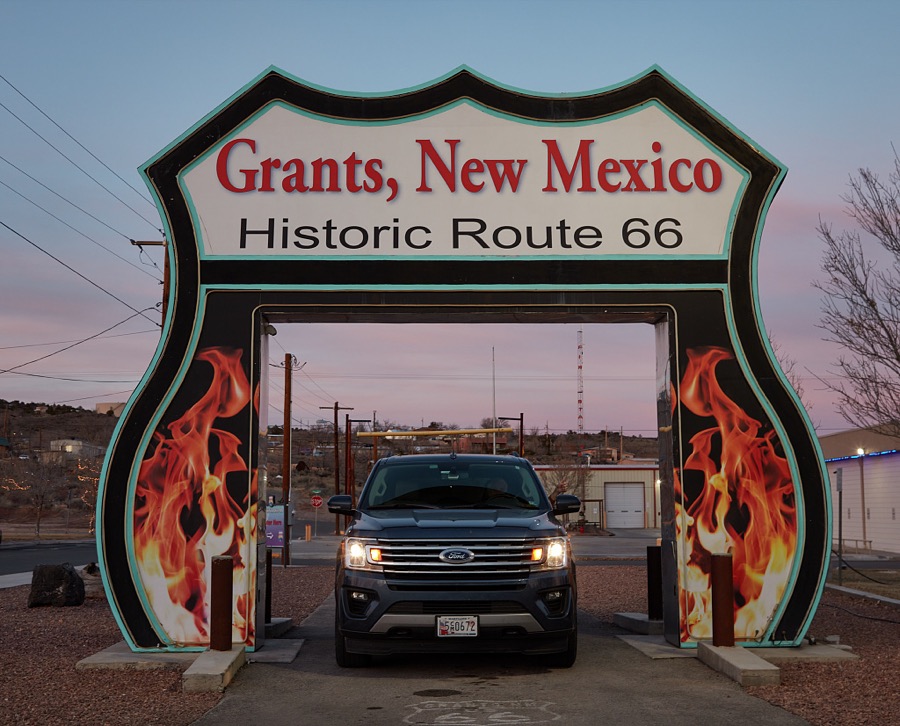
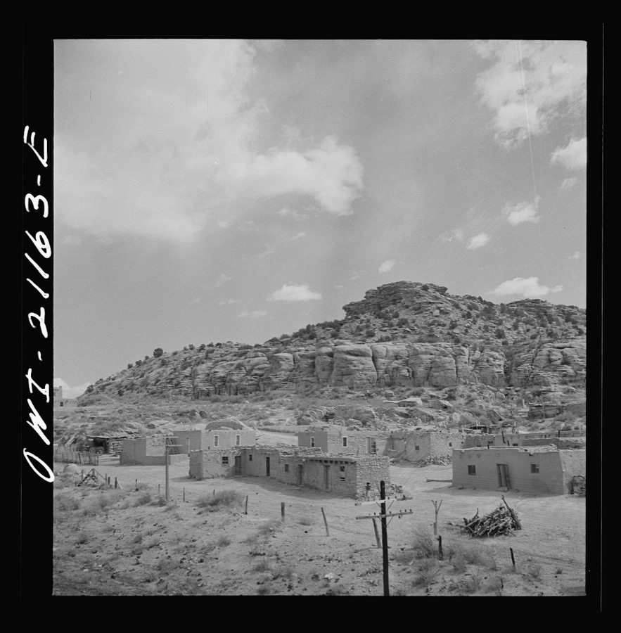
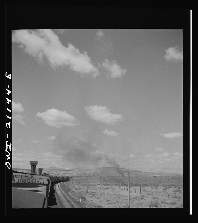
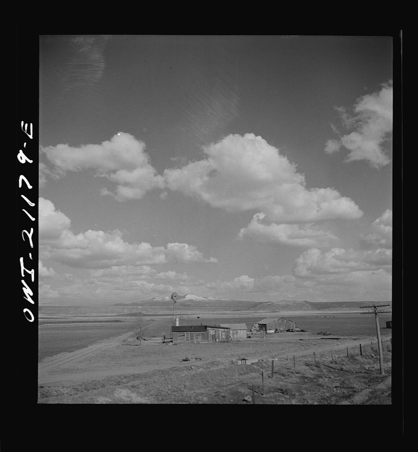
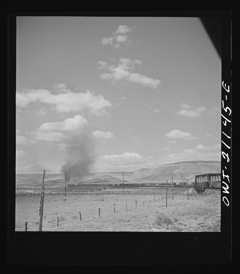
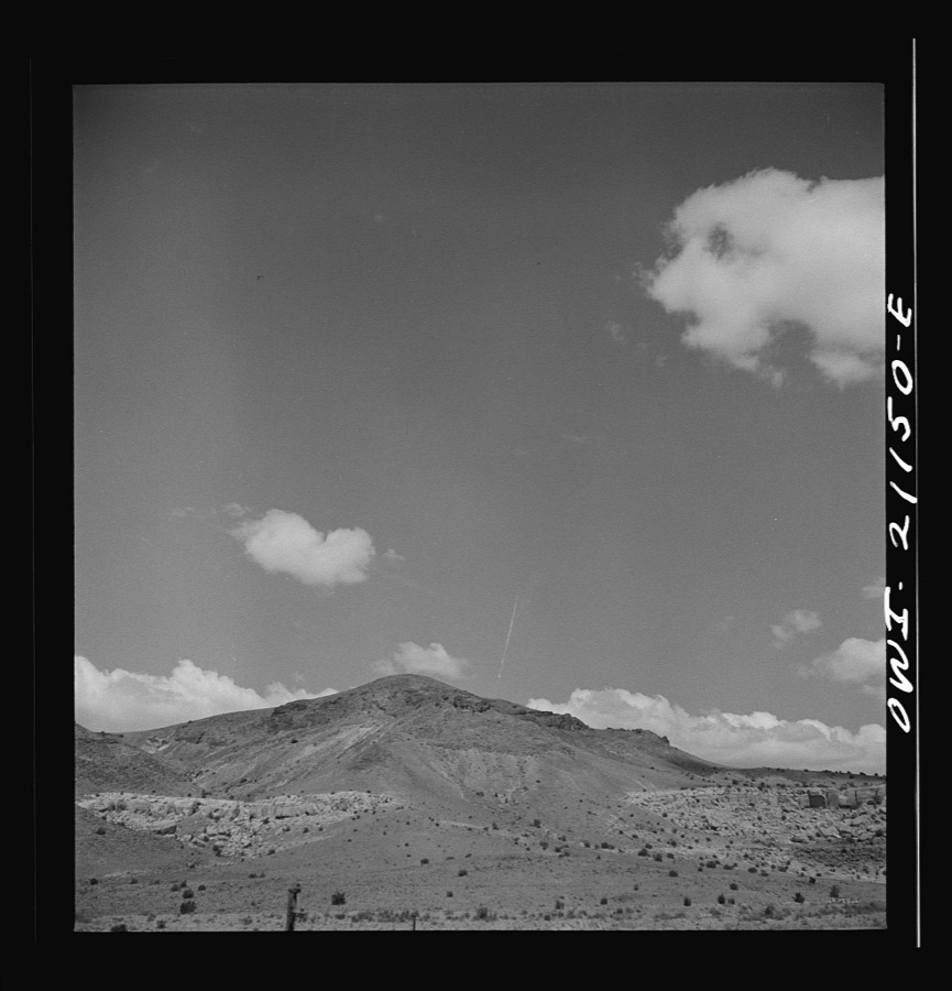
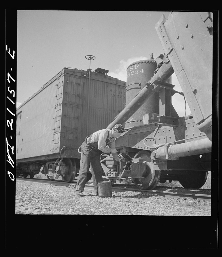
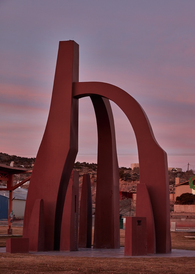
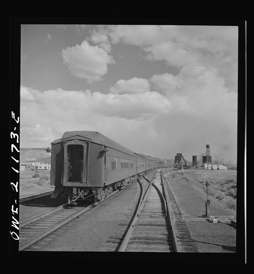
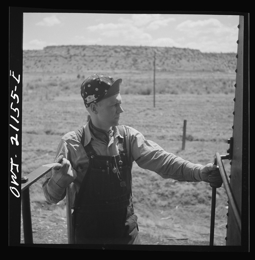
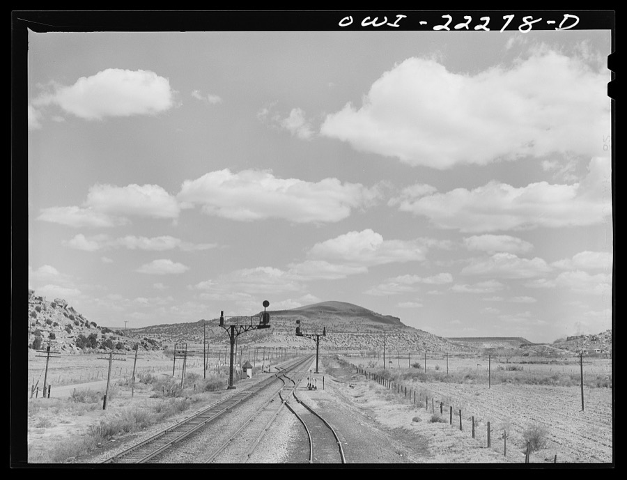
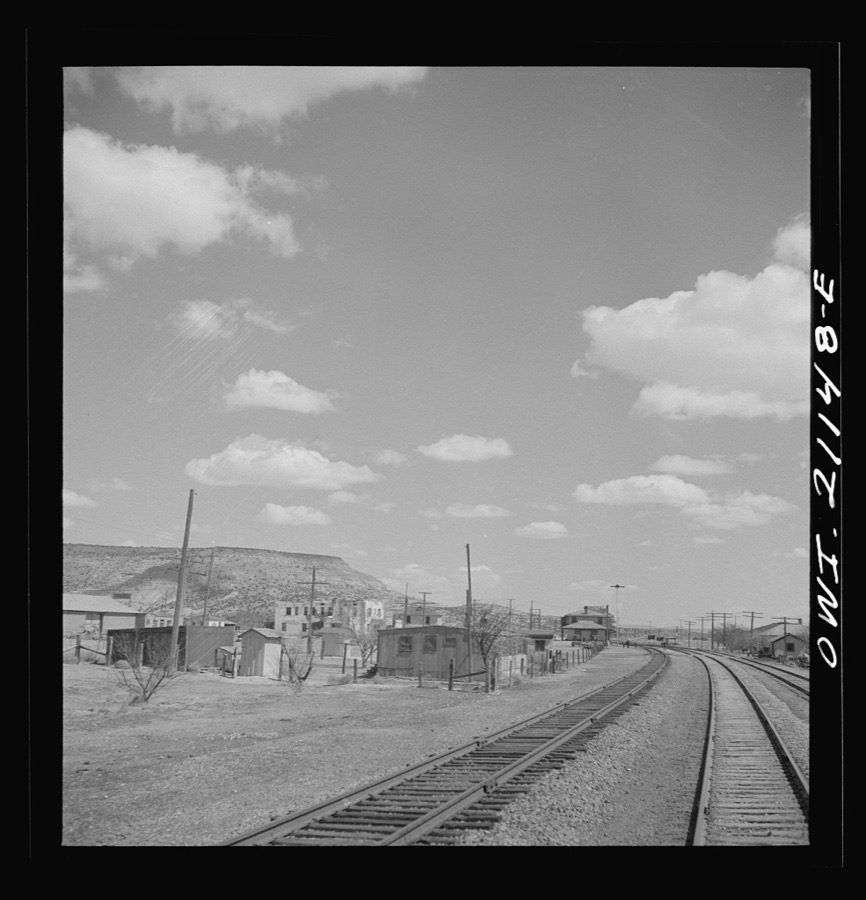
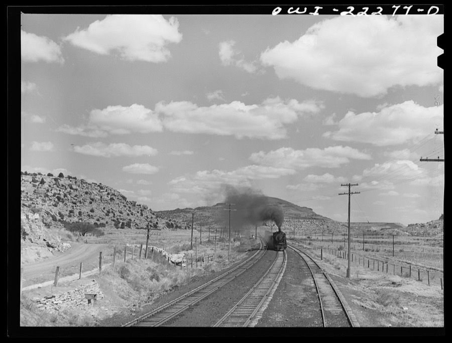
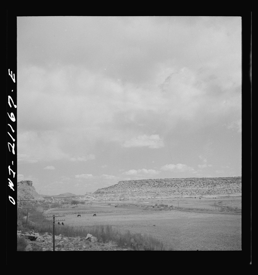
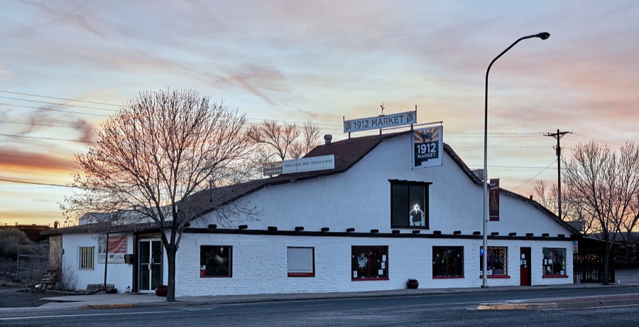
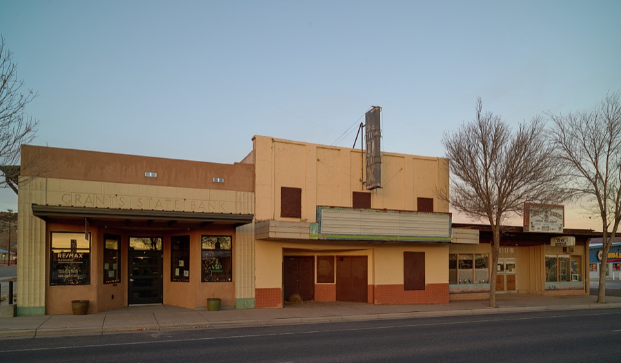
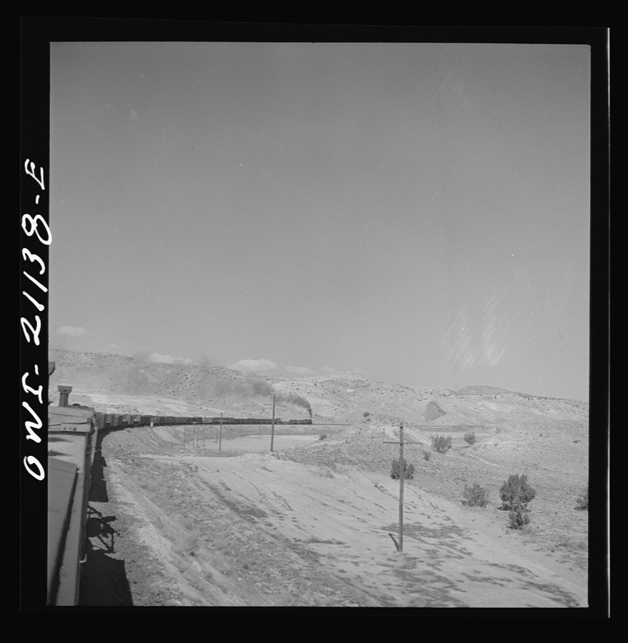
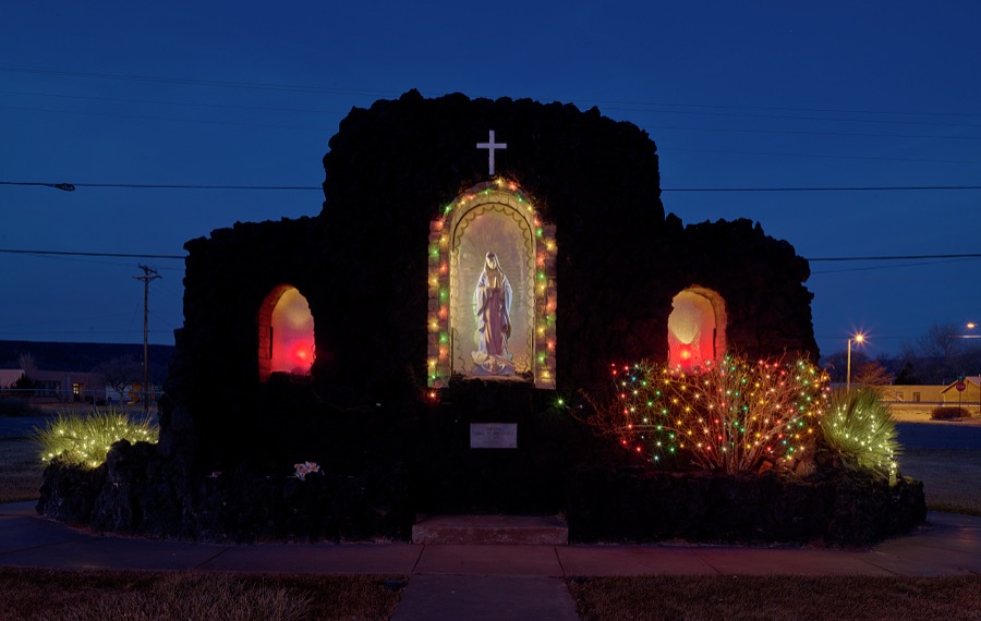
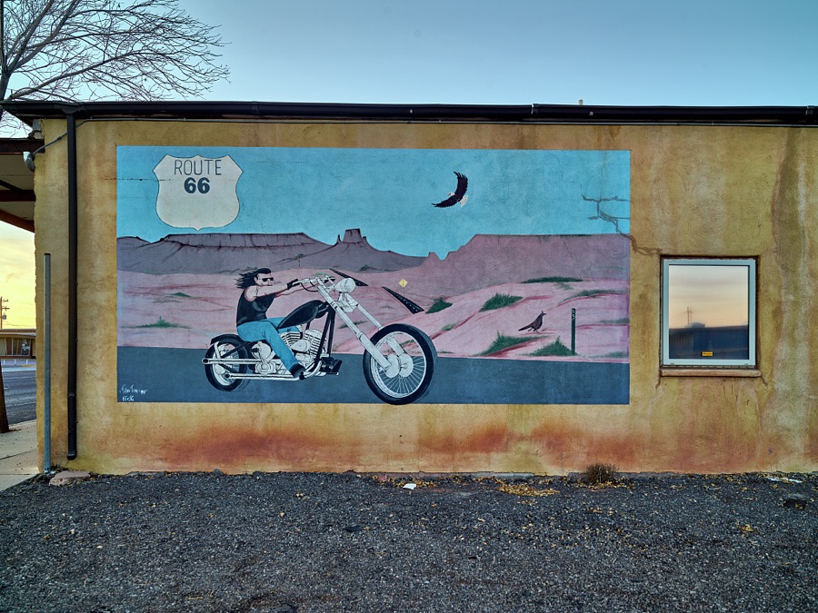
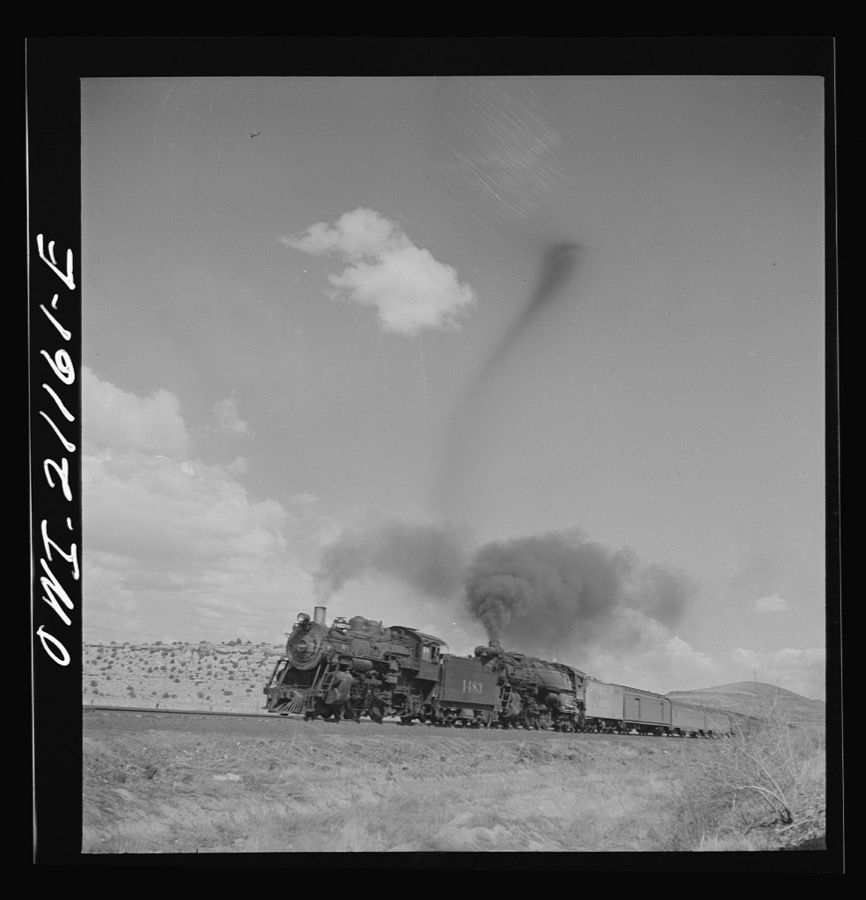
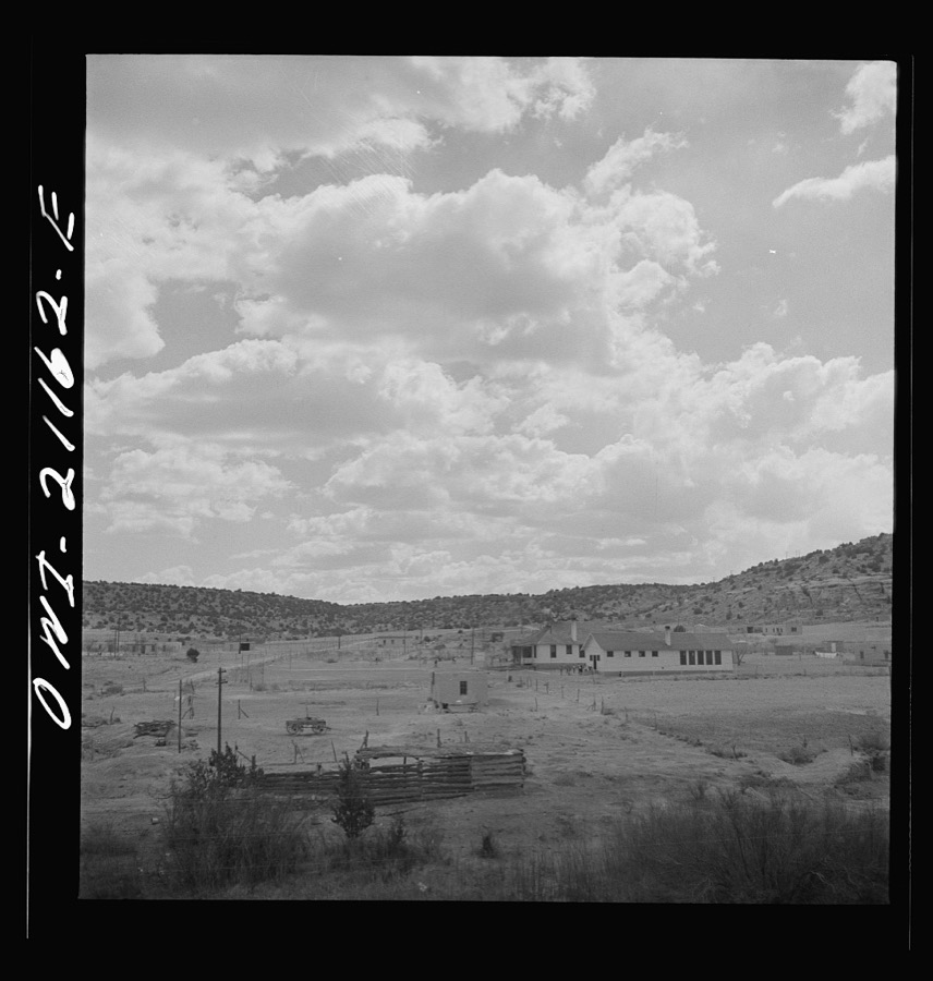
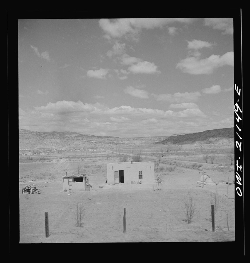
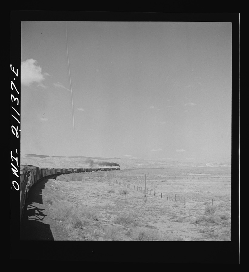
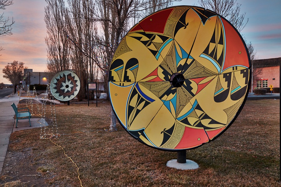
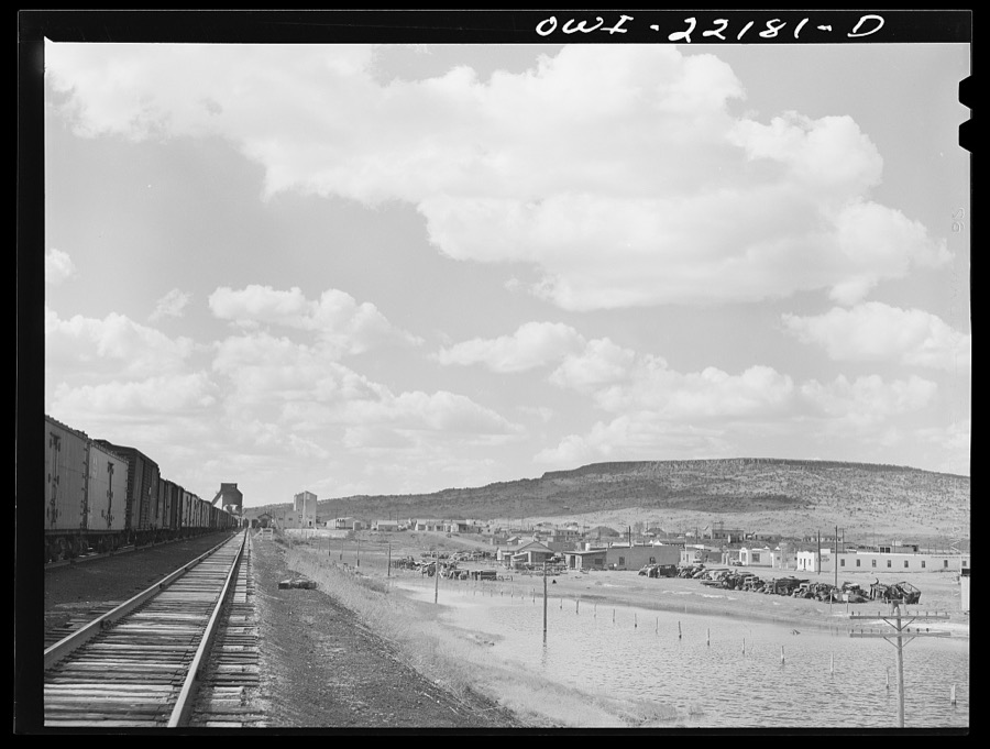
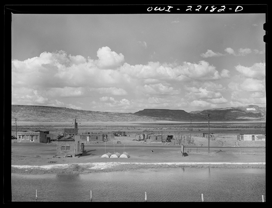
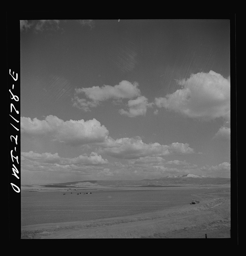
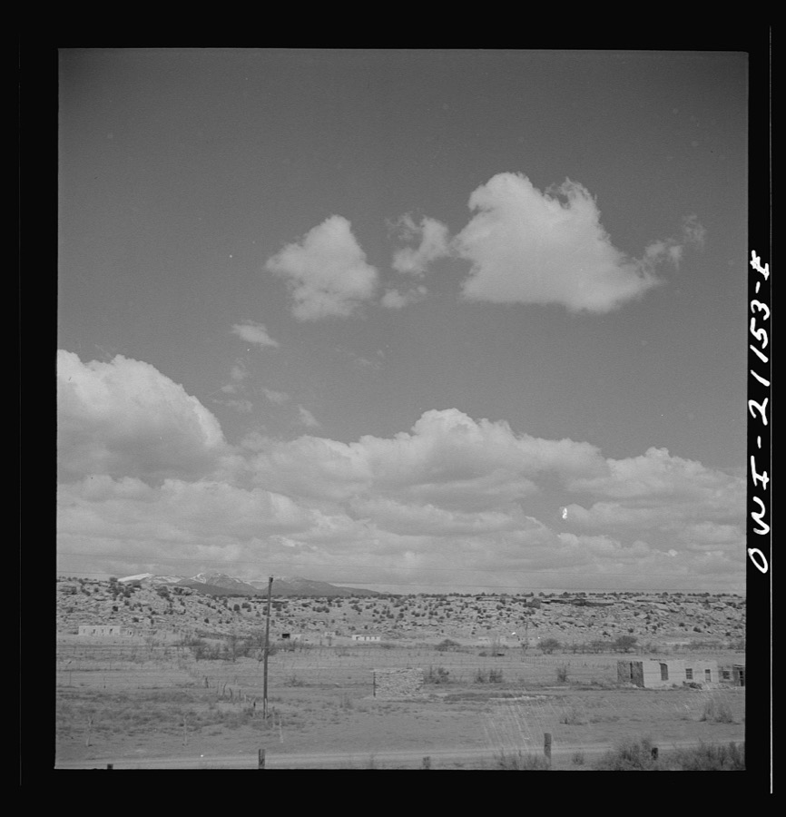
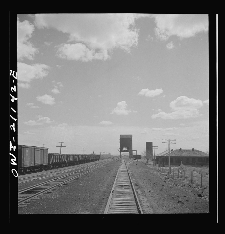
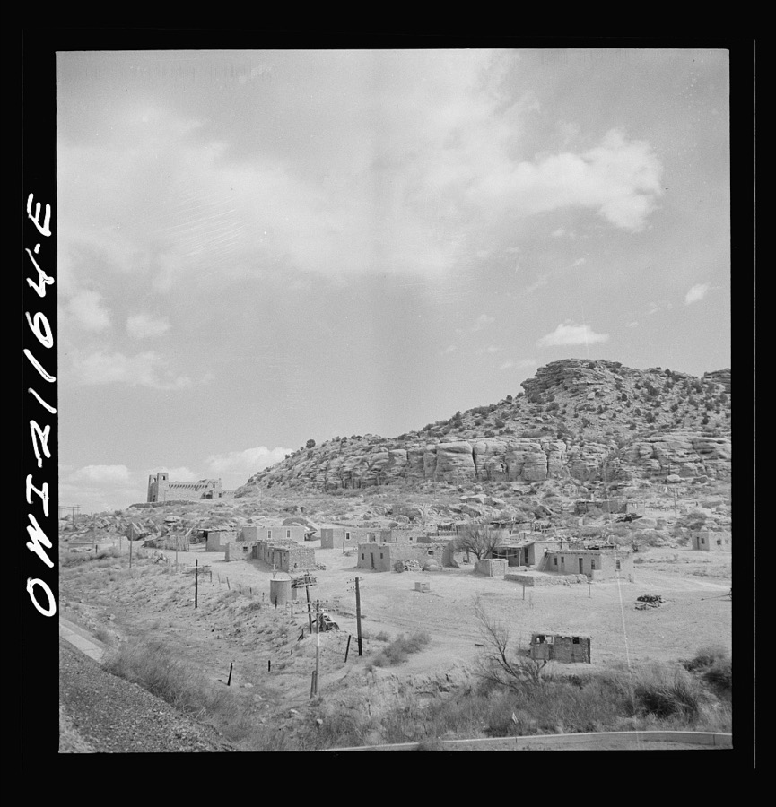
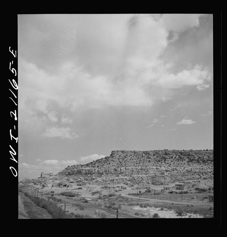
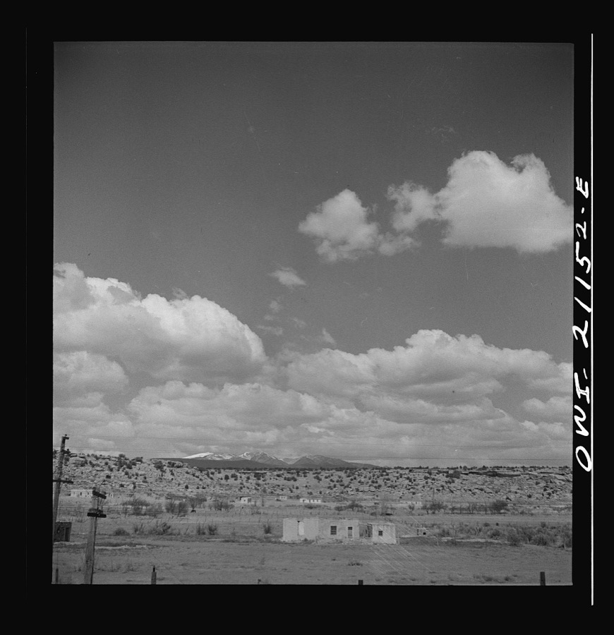
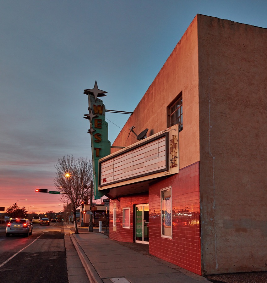
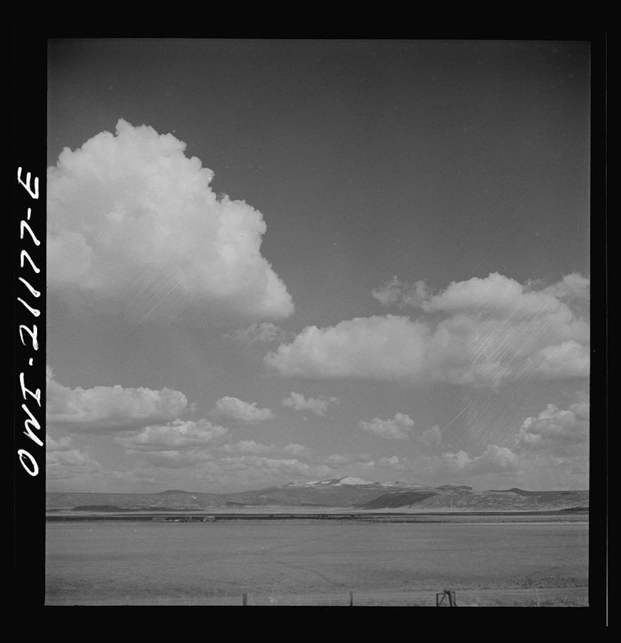
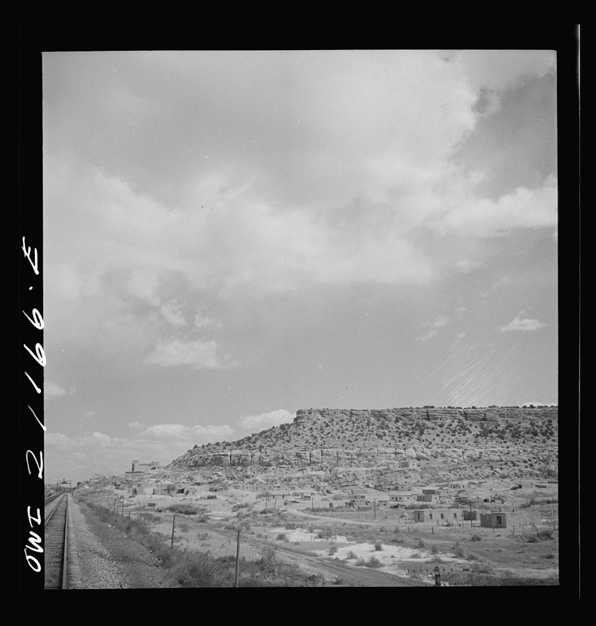
Every property in this county listed on the National Register of Historic Places, with the year it was listed and the federal nomination document.
| Photograph | Property | Type | Listed | Reference |
|---|---|---|---|---|
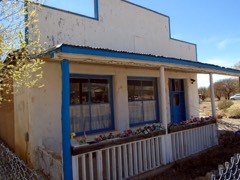 | Acoma Curio Shop | building | 2009 | 09000817 |
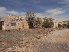 | Bowlin's Old Crater Trading Post | building | 2006 | 06000150 |
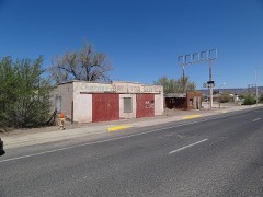 | Charley's Automotive Service | building | 2017 | 100001715 |
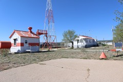 | Grants-Milan Flight Service Station | building | 2015 | 15000492 |
| Route 66 Rural Historic District: Laguna to McCarty's | district | 1994 | 93001466 | |
| Route 66, State Maintained from McCartys to Grants | structure | 1997 | 97001398 | |
| Route 66, State maintained from Milan to Continental Divid | structure | 1997 | 97001394 | |
| Route 66, State maintained from Milan to Continental Divid | structure | 1997 | 97001394 | |
| Route 66, State maintained from Milan to Continental Divid | structure | 1997 | 97001394 | |
| Route 66, State maintained from Milan to Continental Divid | structure | 1997 | 97001394 | |
| St. Theresa Community Center | building | 2022 | 100007877 |
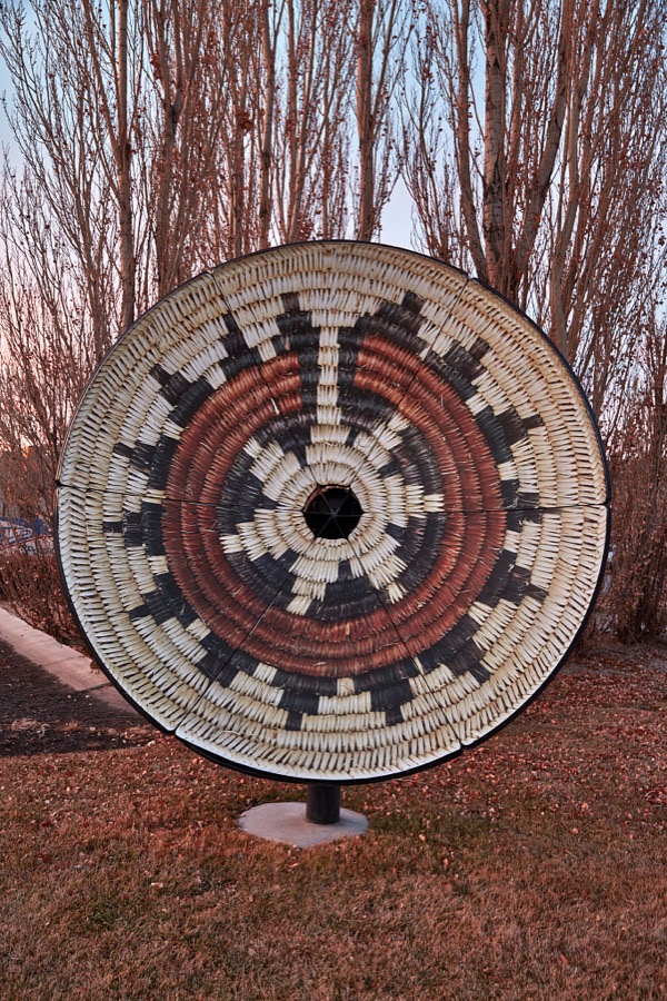
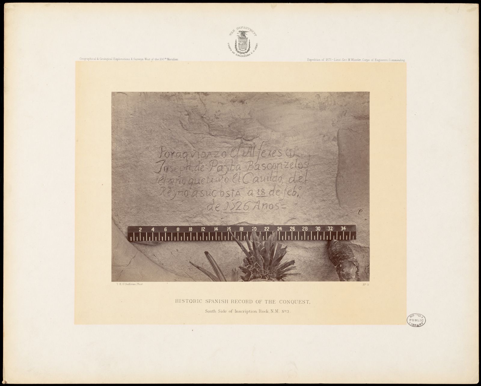
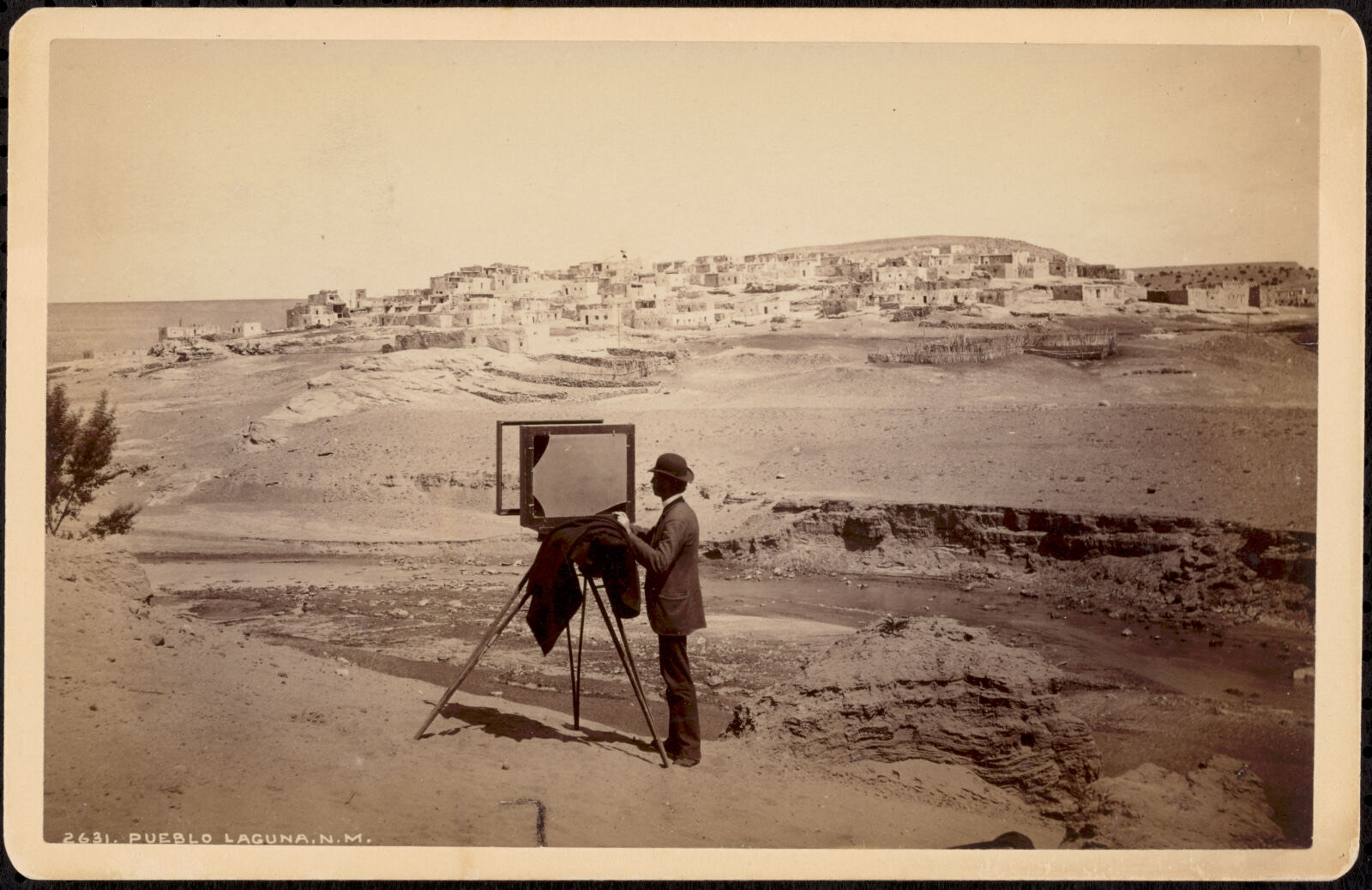
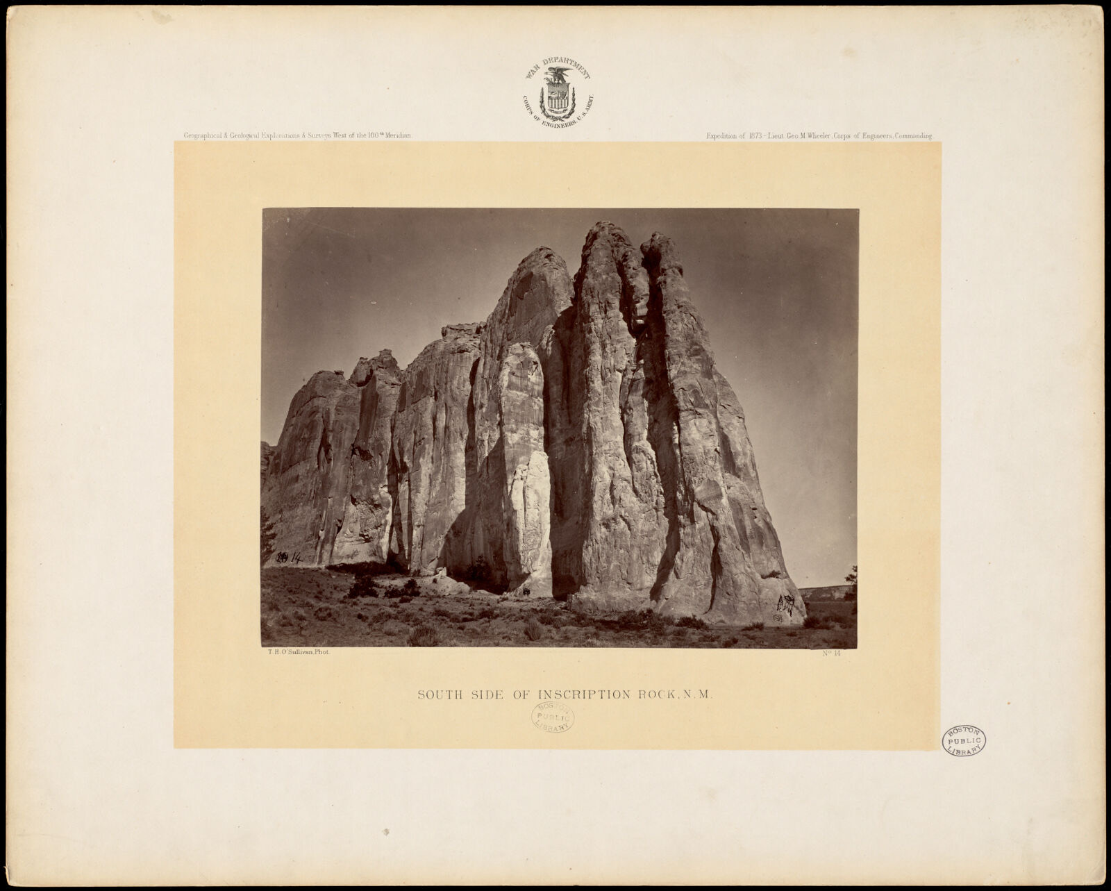
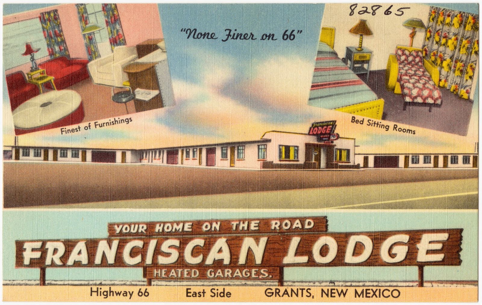
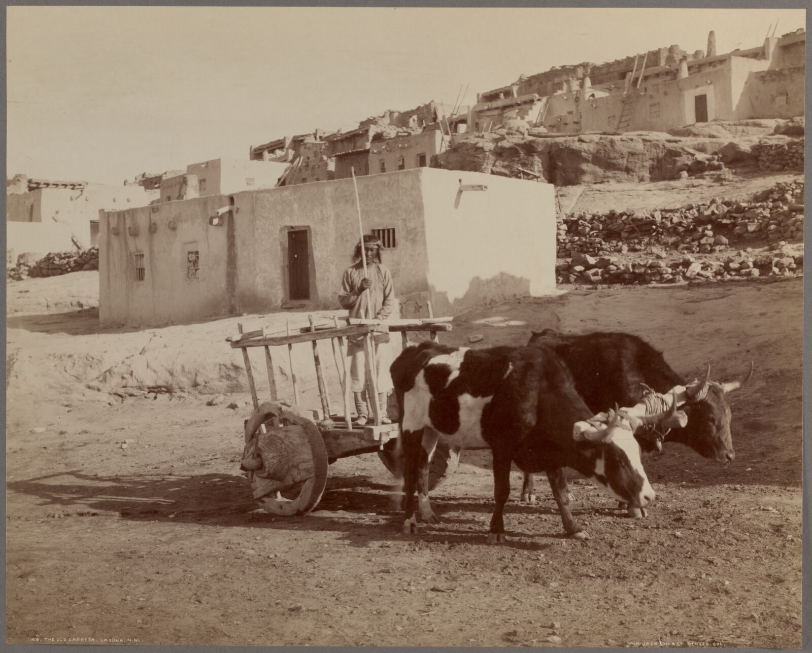
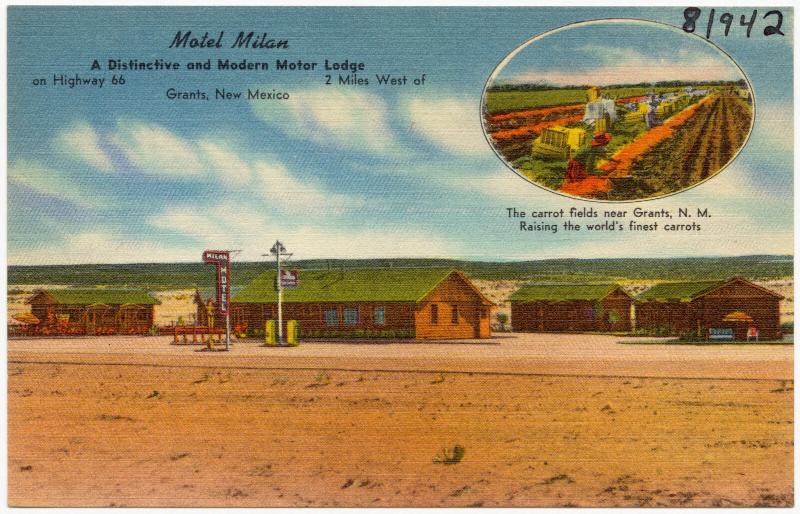
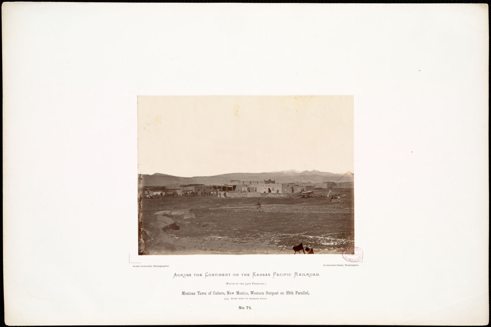
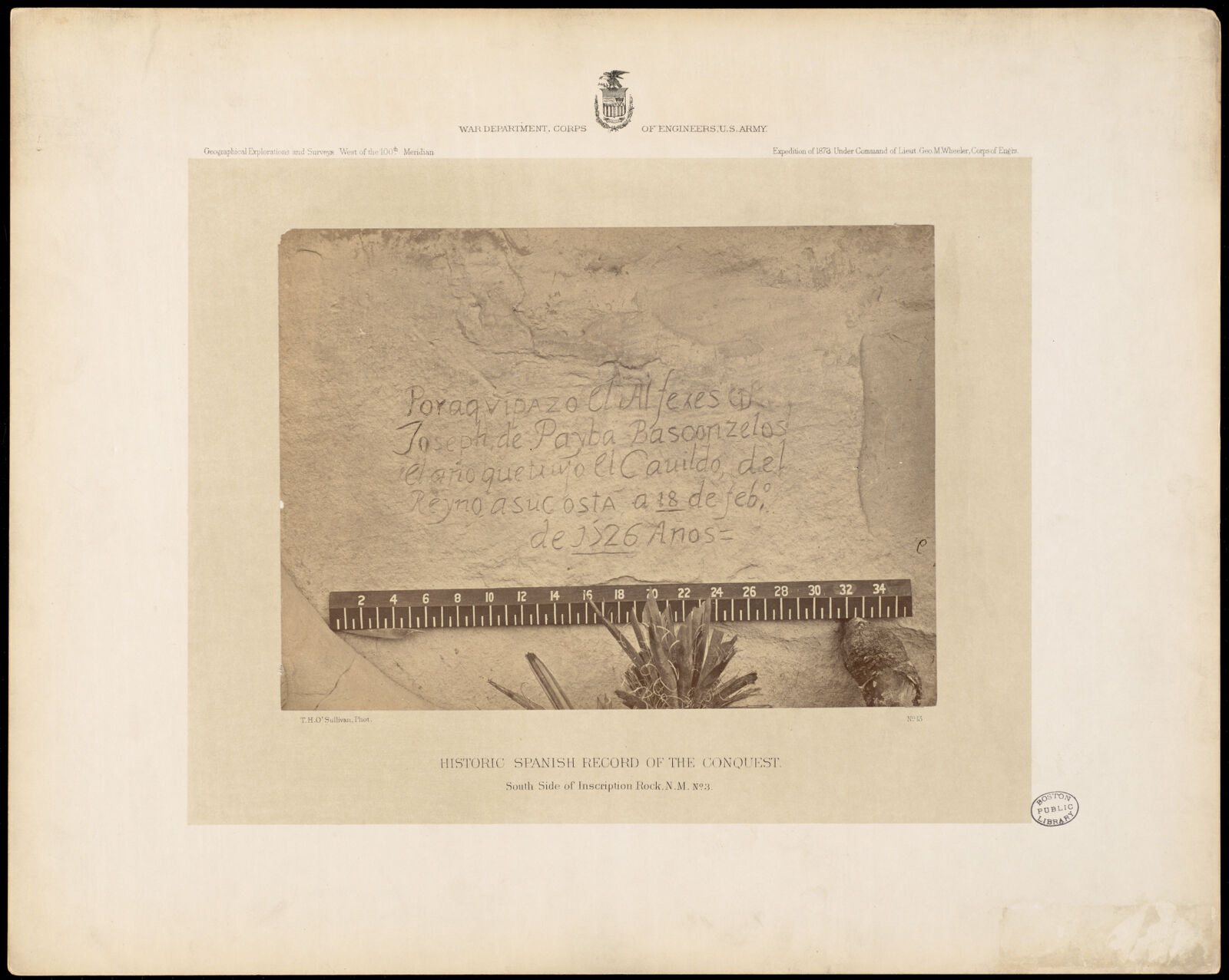
Selected from the Digital Public Library of America's 26 image records catalogued for this county. Every one shown here carries a public-domain status or a licence that permits reuse on a site that carries advertising; non-commercial, share-alike and restricted images are excluded. The selection is spread across the county's towns (at most eight per town), so no single institution's bulk upload crowds out the rest. Each opens the holding library's record, and the complete set at the Digital Public Library of America is one click away.
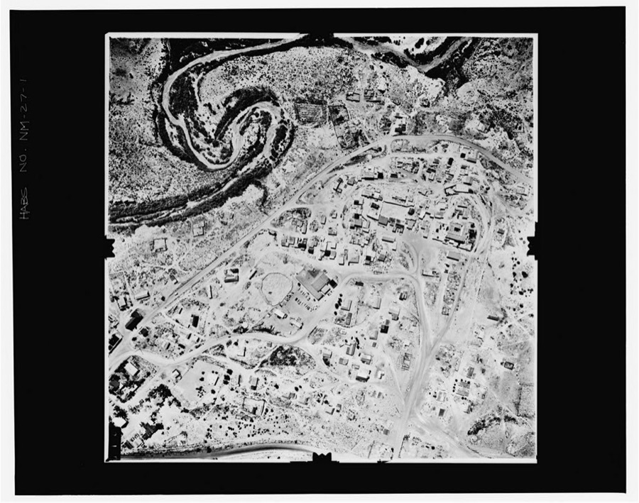
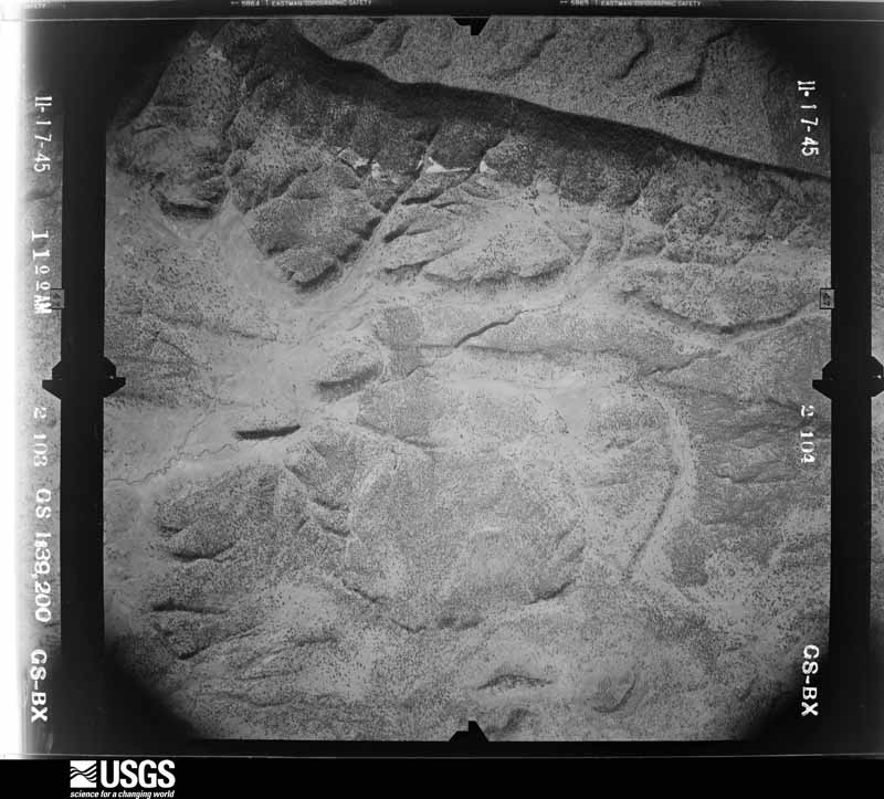
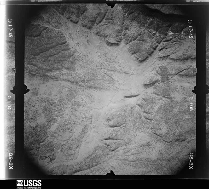
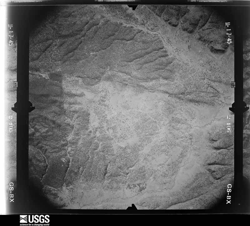
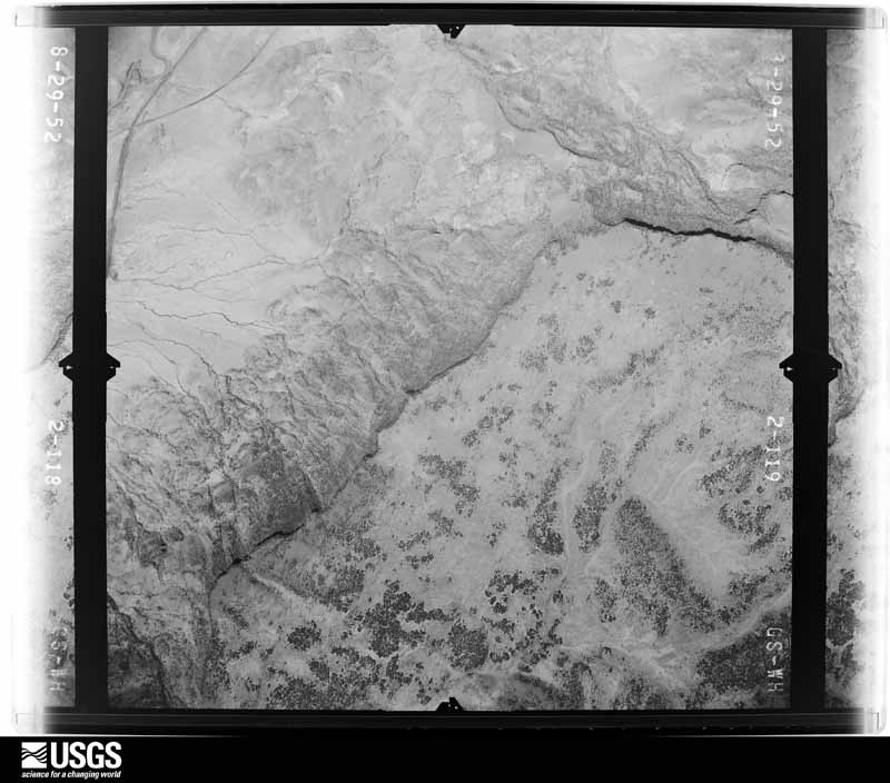
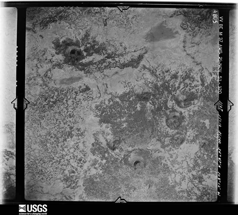
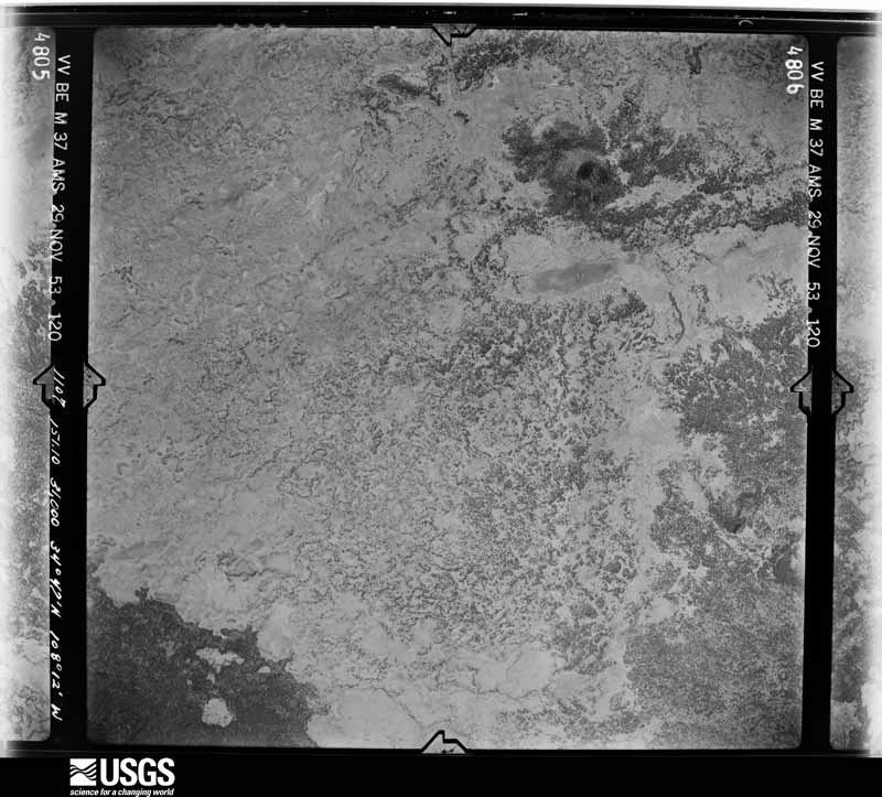
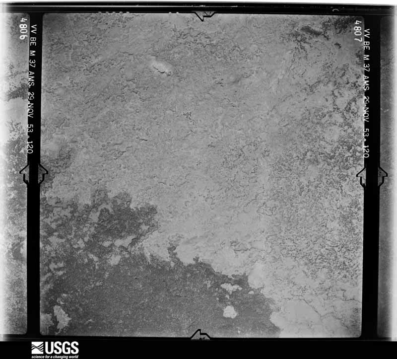
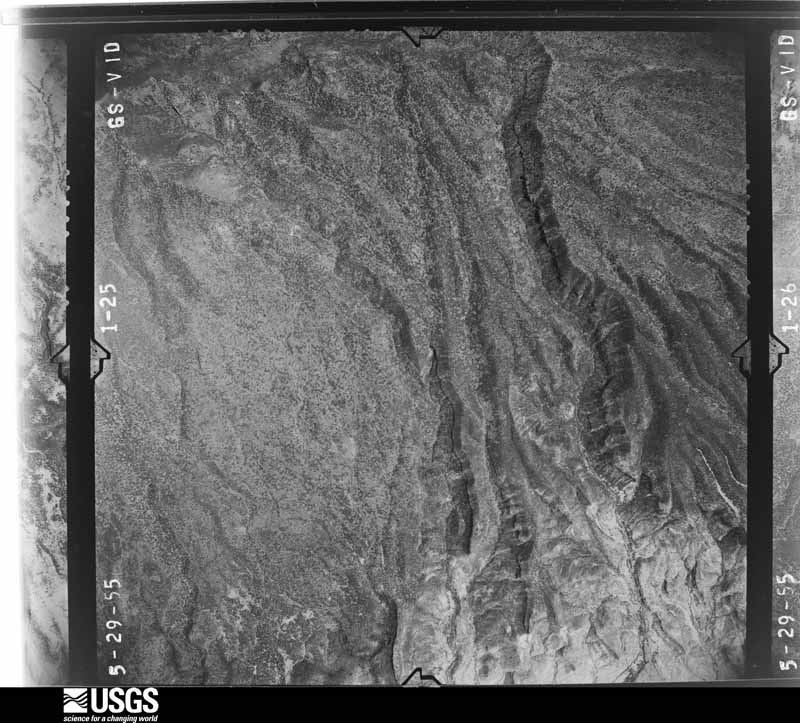
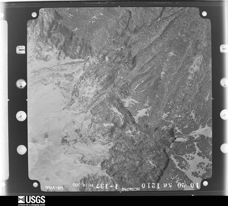
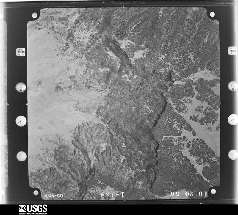
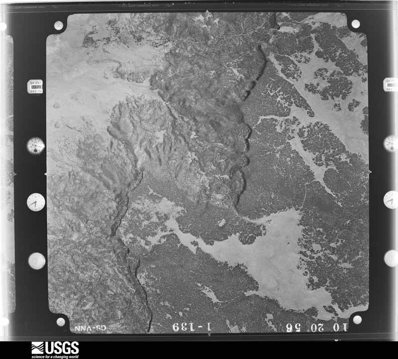
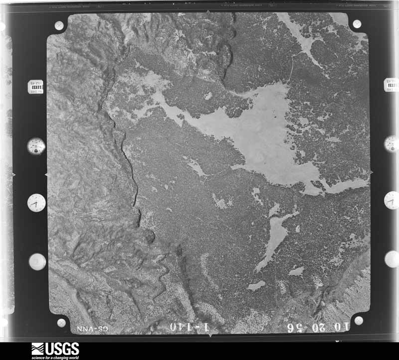
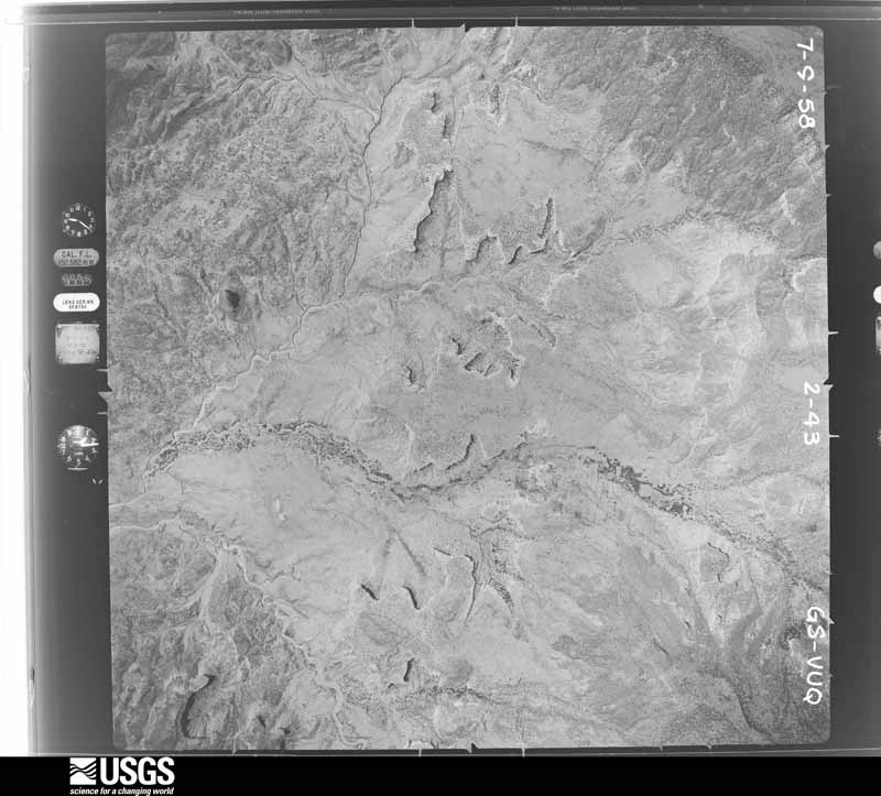
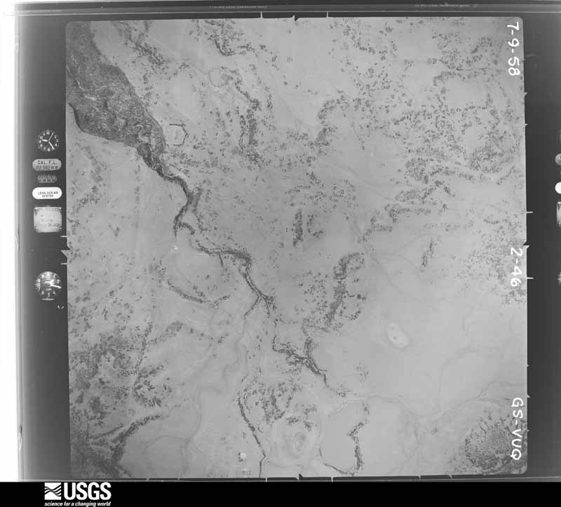
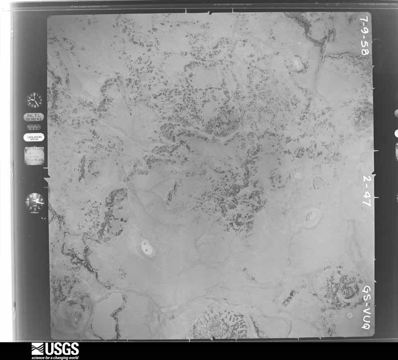
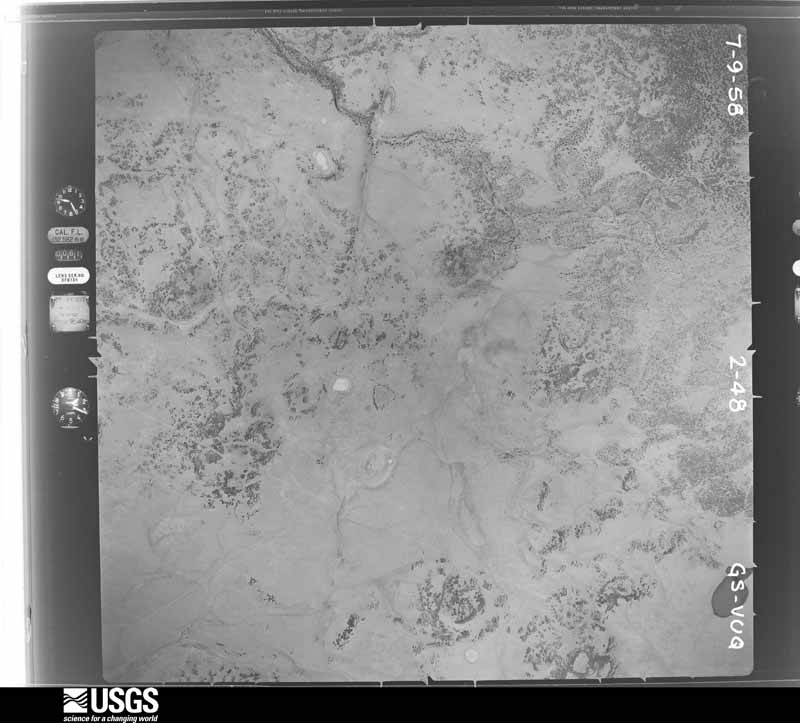
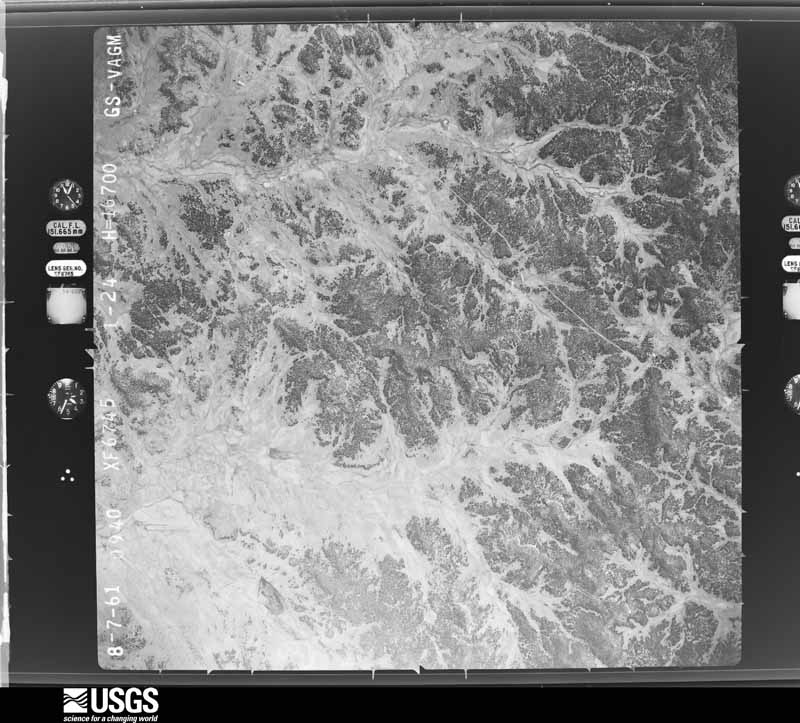
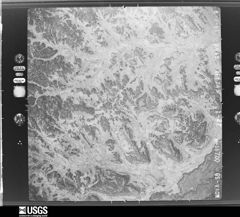
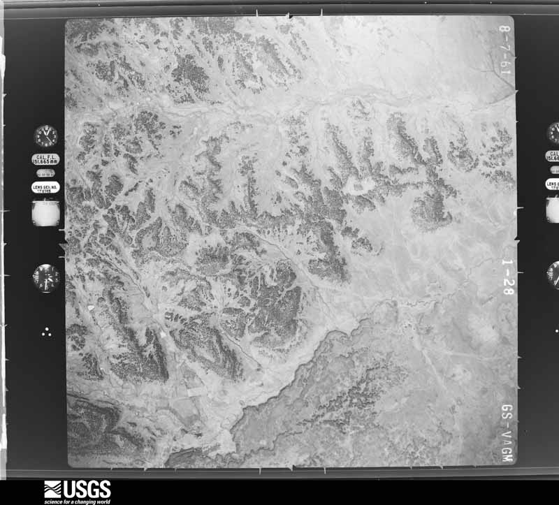
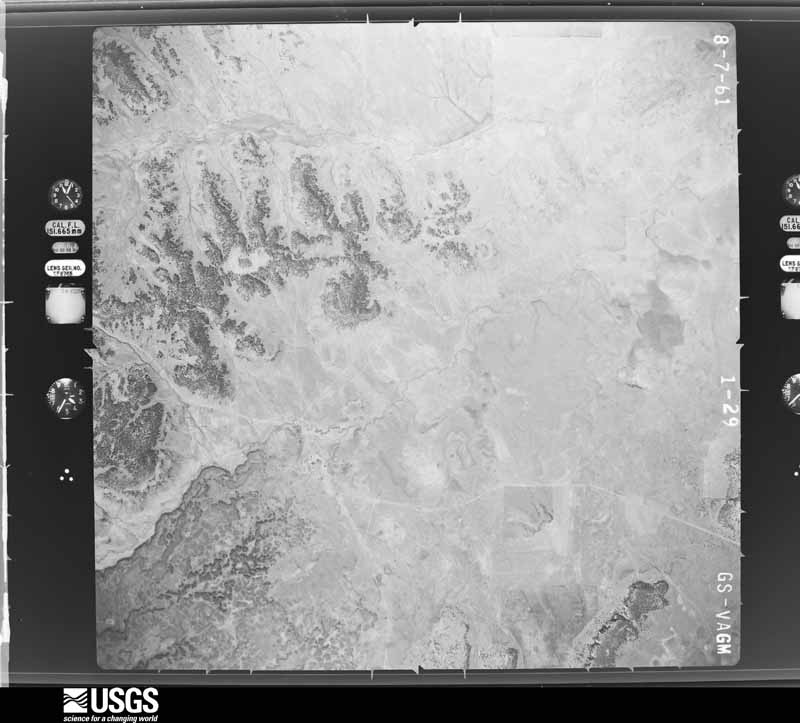
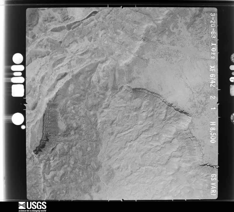
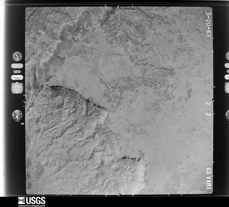
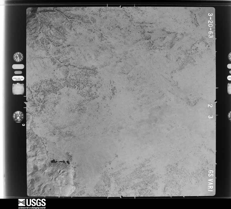
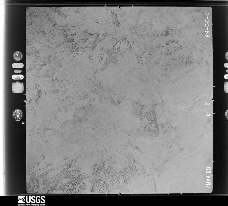
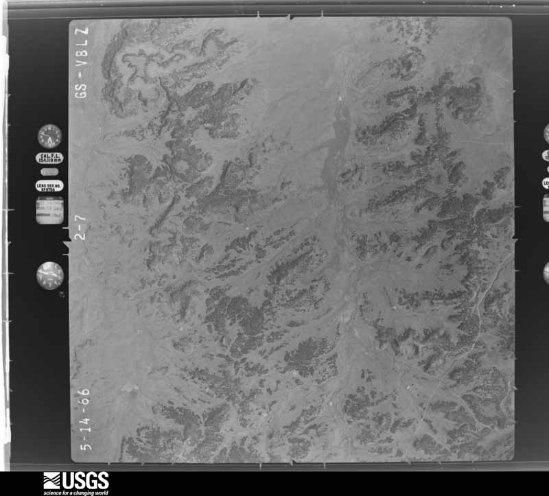
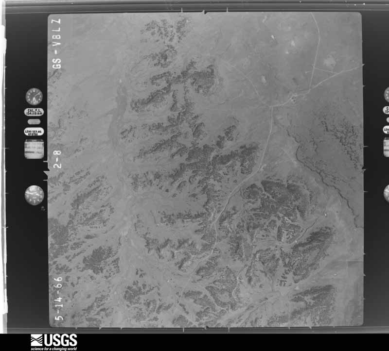
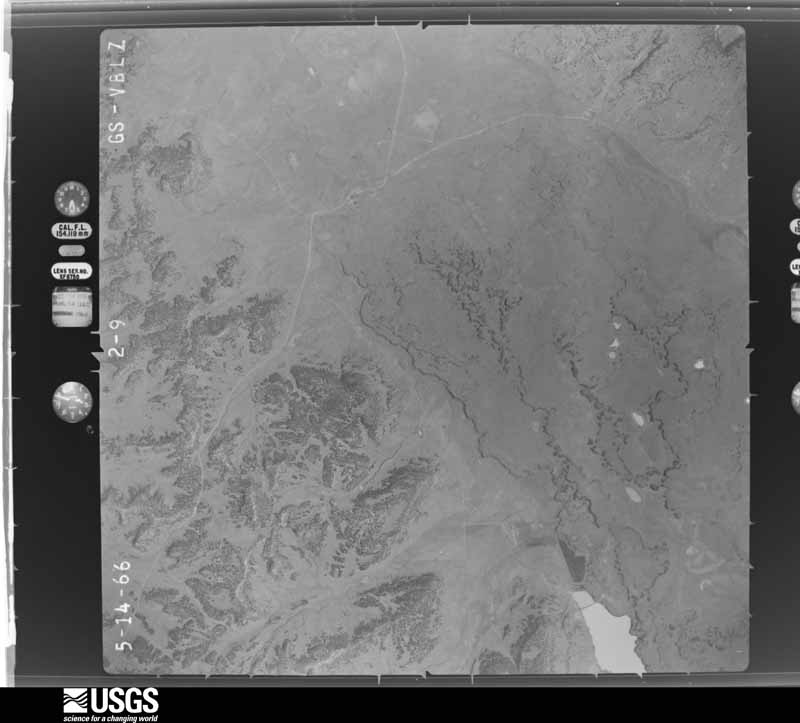
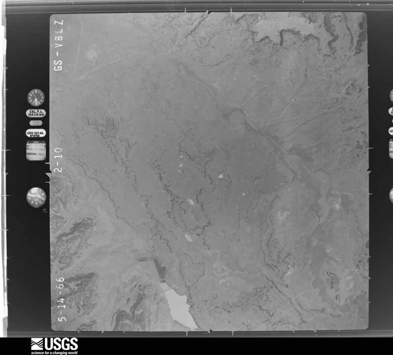
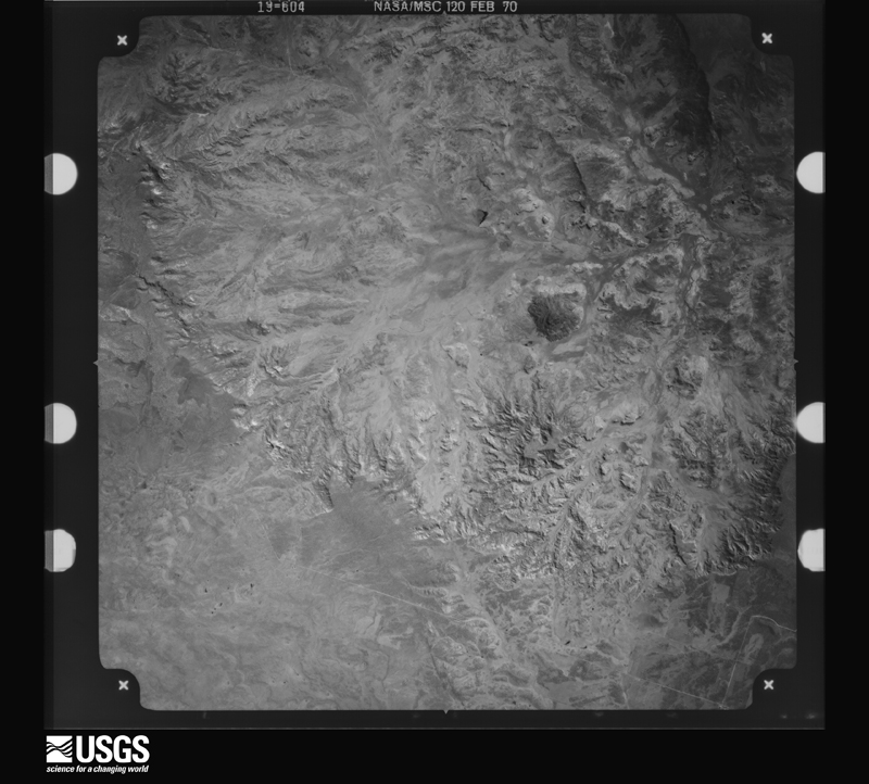
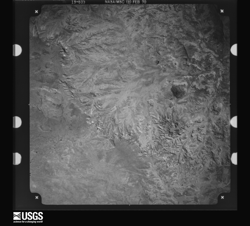
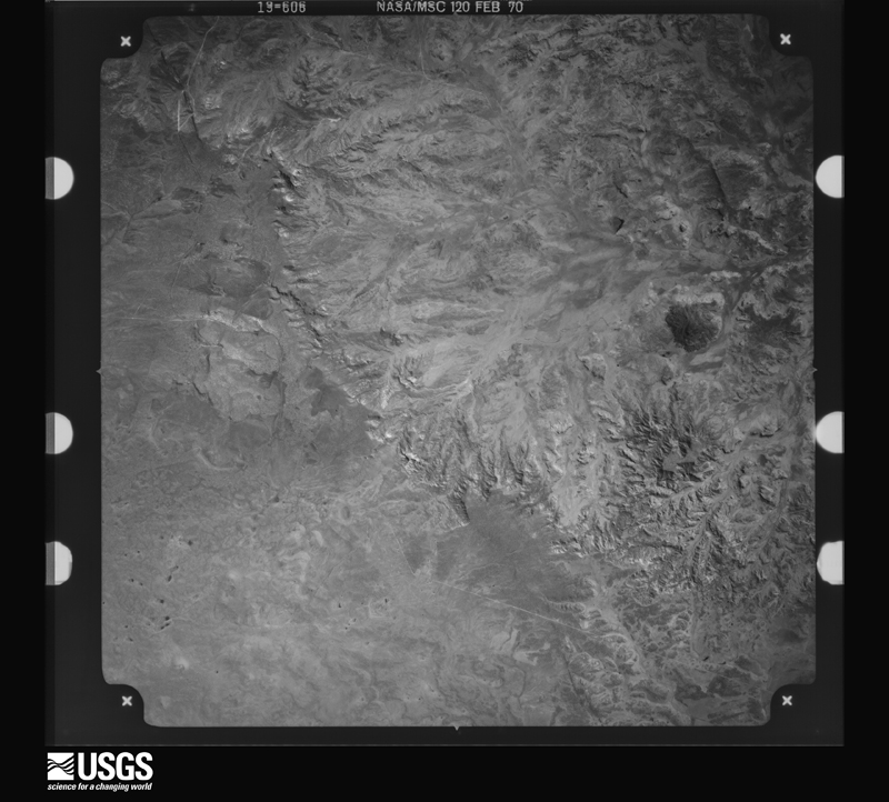
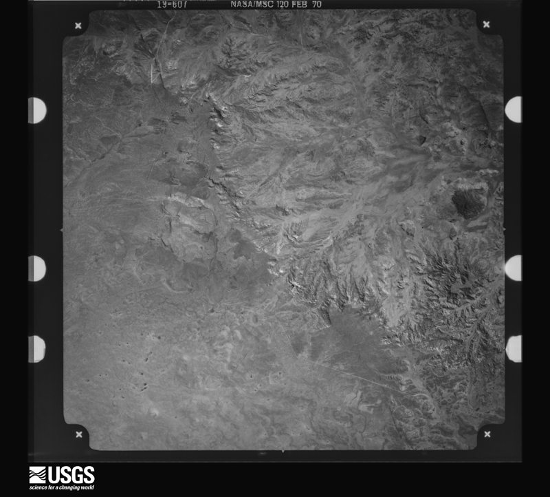
Flown by the U.S. Geological Survey between 1937 and 1989, the Aerial Photo Single Frames collection is the definitive mid-century view of the land: fields, roads and rivers as the camera saw them. The Survey holds 6,567 frames inside the rectangle that bounds this county; the 48 frames below were taken over the county itself, chosen across the decades of flights (at most four a year from that rectangle), so one flight cannot crowd out the rest. The full set is free to browse and download at EarthExplorer under the dataset Aerial Photo Single Frames.
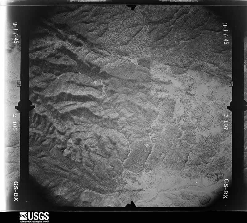
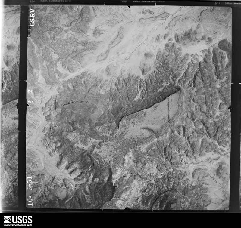
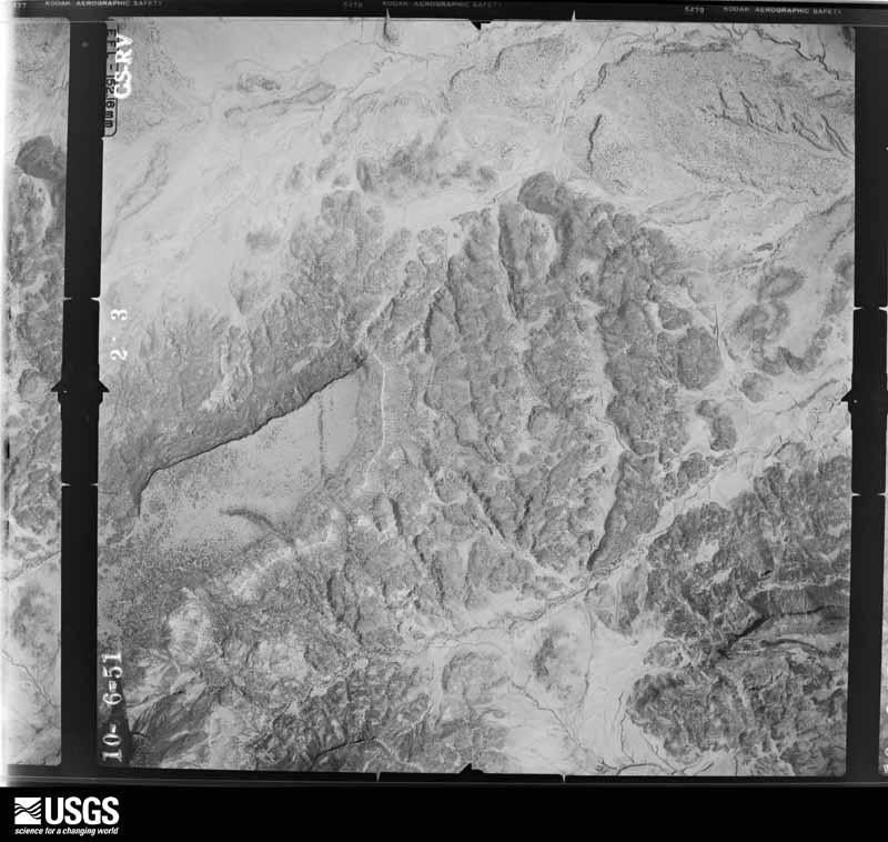
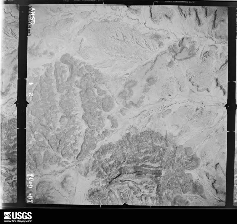
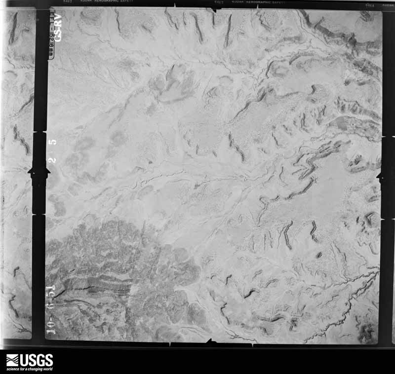
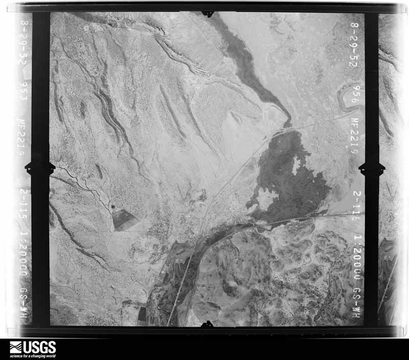
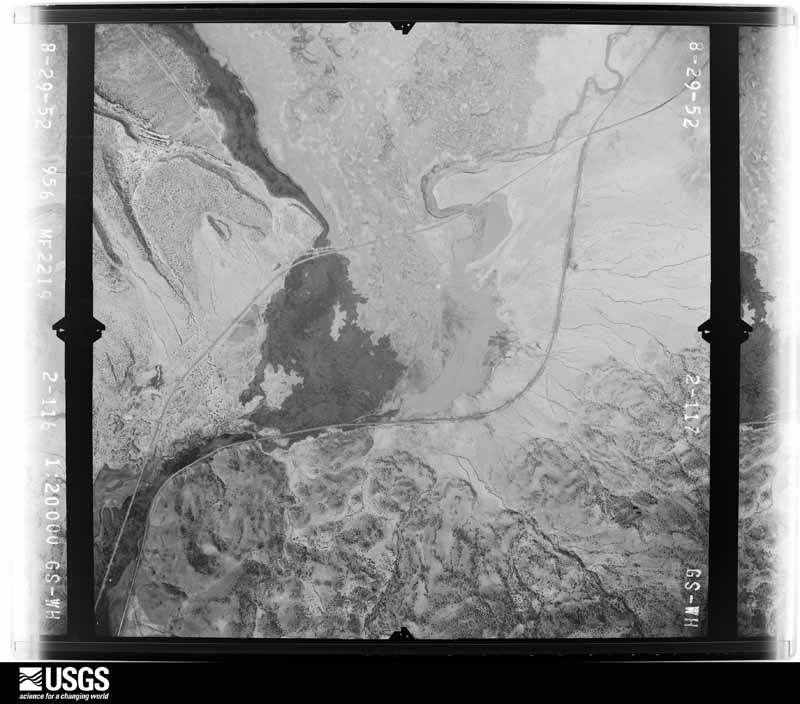
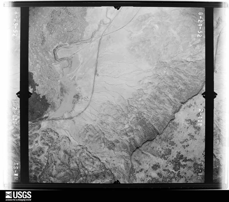
The thermometers that kept this county's weather, and the gages that measured the flow of its streams, as the federal records hold them. The extremes below are measured values from those records, not estimates.
Every wildfire the federal occurrence database records inside this county: 2,576 of them, burning about 62,514 acres. 1,325 started naturally and 70 were recorded as arson. Each settlement page carries the fires within five miles of it.
| Reported cause | Fires |
|---|---|
| Natural | 1325 |
| Debris and open burning | 528 |
| Missing data/not specified/undetermined | 173 |
| Smoking | 147 |
| Recreation and ceremony | 99 |
| Misuse of fire by a minor | 77 |
| Arson/incendiarism | 70 |
| Equipment and vehicle use | 68 |
| Fireworks | 46 |
| Railroad operations and maintenance | 22 |
| Other causes | 14 |
| Power generation/transmission/distribution | 6 |
| Firearms and explosives use | 1 |
The five largest, by the area the report gives. One of them was set deliberately.
| Date | Cause | Size | Reported by | Name on the report |
|---|---|---|---|---|
| 4 June 2002 | Natural | 15,850 acres | El Malpais National Monument | CHERRY FIRE |
| 12 April 2018 | Debris and open burning | 9,338 acres | Cibola National Forest | DIENER CANYON |
| 12 June 2004 | Misuse of fire by a minor | 8,595 acres | Cibola National Forest | SEDGWICK |
| 12 April 2018 | Recreation and ceremony | 3,473 acres | Cibola National Forest | BLUE WATER |
| 3 June 1999 | Arson/incendiarism | 3,382 acres | Cibola National Forest | LA JARA |
| 22 August 2019 | Natural | 2,100 acres | El Malpais National Monument | LAVA 18 |
| 20 July 2000 | Natural | 2,075 acres | Albuquerque District Office | WALL |
| 14 June 2012 | Debris and open burning | 1,122 acres | Zuni Agency | FROG POND |
Every settlement page carries the fires within five miles of it - see the settlement index below.
The NOAA Storm Events Database holds 93 reports for this county, causing no deaths, 3 injuries and about $1,982,000 in recorded property damage. Each settlement page carries the reports that name it.
| Kind of event | Reports |
|---|---|
| Flash Flood | 35 |
| Hail | 33 |
| Thunderstorm Wind | 13 |
| Funnel Cloud | 6 |
| Heavy Rain | 2 |
| Flood | 2 |
| Tornado | 2 |
The most serious of them, by death, then injury, then recorded damage. The accounts are quoted exactly as the forecast office filed them.
| When | Event | Place named | Harm | What the report says |
|---|---|---|---|---|
| February 1995 | Hail | Albuquerque | 3 hurt | no account filed |
| September 2013 | Flood | (Gnt)Grants Muni Airport | $500,000 | Areal flooding developed after flash flooding with continued heavy rainfall. Twenty five to 30 homes were partially under water around Bluewater Village. Milan endangered by flooding with 4 residents displaced to shelter. The Grants West Centurlink box was flooded and cell phone services were temporarily out in the area. CR 23A closed due to high water. A total of 50 structures were damaged from this multi-day event. |
| July 2015 | Flash Flood | El Morro | $250,000 | Heavy rains caused a barn and two pastures to be flooded. One lane of a two-lane gravel road was also washed out with many other roads seeing 3 feet deep ravines created by the heavy rain. Numerous roads around the Zuni Mountains were washed out and residents were trapped in their homes for several days until county officials could repair the roads. Phone services were also lost. |
| October 2015 | Flash Flood | Grants | $250,000 | Three bridges were damaged from flood waters northeast of Grants. A dozen jersey barriers were washed 100 yards downstream at low water crossings along Lobo Canyon. The most significant damage occurred to the George Hannish Bridge. Bridges along county roads 19A and 19D were also impacted. |
| September 2013 | Flood | Correo | $250,000 | State EOC Situation Report #6 indicated heavy rainfall produced flooding around many areas of Tohajiilee, including a school, homes, roads, and the fire department. One lane of Interstate 40 was closed due to a sink hole at the Tohajiilee exit. An ICP was set up to assist with flooding situation. |
| August 2011 | Flash Flood | Mc Cartys | $200,000 | An arroyo backed up and flooded a portion of Indian Service Route 27. Five homes were flooded and evacuated. Further to the west, what was described as a waterfall was coming off the higher terrain surrounding the interstate. Water was flowing over the interstate and the frontage roads. Each of these roads had to be shut down for a short time. |
| September 1997 | Heavy Rain | Grants | $100,000 | no account filed |
| June 2022 | Flash Flood | Cubero | $75,000 | A trained spotter reported major flash flooding around Cubero. Several roads were washed out or inundated with water. Many other roads were forced to closed. The local fire station was also flooded. Damages are estimated. |
| June 2024 | Flash Flood | Grants | $50,000 | The Cibola County Emergency manager reported multiple vehicle rescues from flood waters. The Rio San Jose was out of its banks between Sargent and Davis Streets with several streets flooded in town. Swift moving water several inches deep was observed over First Street and Roosevelt Avenue. Damage is an estimate. |
| July 2015 | Flash Flood | Milan | $50,000 | Heavy rains caused several streets to flood with between 2 to 4 feet of water in downtown Grants. The street flooding included First and Second streets from Washington to Roosevelt as well as Fifth and Santa Fe streets. It caused one vehicle to stall due to the water height. No business or homes were reported flooded as well as no reported injuries. |
| October 2015 | Flash Flood | Encinal | $50,000 | Flood damaged roads along low water crossings near Encinal and Bibo. Jersey barriers erected to protect from flood waters were washed away. |
| August 2010 | Flash Flood | Mc Cartys | $50,000 | Several dirt and gravel roads were washed out completely along the northern periphery of the Acoma Indian Reservation and points just north of Acomita. Much of the damage occurred where arroyos crossed or neared the roadway. The greatest damage occurred along Indian Service Roads 34, 345, 30 and 26 as well as Stock Yard Road. Water continued to spill over what was left of the roadways days later. Minor damage was also noted on the Wastewater Treatment Facilities property. |
| July 2008 | Flash Flood | Bluewater | $40,000 | A road was washed out near Bluewater Lake State Park. Two homes were also flooded. |
| September 2013 | Flash Flood | Mc Cartys | $35,000 | Heavy rainfall lead to ponding of water 6 to 8 inches deep along Interstate 40 east and west bound near McCartys. Numerous accidents were reported in the area. |
| June 2022 | Flash Flood | San Fidel | $25,000 | Heavy rain in the San Fidel area caused major flooding of arroyos and washed out County Road 13. Damages are estimated. |
| July 2010 | Flash Flood | Milan | $20,000 | Heavy rain eroded the smaller of two uranium tailing piles at the Homestead/Barrick Gold former mill site. A wall of water 80 to 100 yards wide flooded the four subdivisions. Ralph Card, Sundowner, Thunderbird and Malapais roads were flooded and several other roads in the area had high water. Residents of the four subdivisions likened their front and back yards to lakes with water up to 18 inches deep. |
| July 2021 | Flash Flood | Fence Lake | $10,000 | A trained spotter in Fence Lake reported that County Road 35D had been washed out due to heavy rain in the area. Damages are estimated. |
| July 2008 | Flash Flood | San Mateo | $10,000 | Flooding was reported on State Road 53 near Grants, State Road 605 north of Grants and State Road 279 near Seboyeta and Cebolletita. Street flooding in Grants reached a depth of one foot. Floodwaters also topped a bridge near San Rafael. |
| September 2009 | Flash Flood | Seama | $5,000 | A home was damaged from excess runoff from the Rio San Jose. |
| July 2008 | Flash Flood | Anaconda | $5,000 | The sheriffs dispatch reported state road 117 was washed out near the El Malpais Ranger Station. |
| August 2008 | Flash Flood | Bluewater | $3,000 | Willis road was washed out, and a home had flooding in its garage and porch. |
| August 2008 | Flash Flood | Seama | $2,000 | A portion of Indian Road was washed out. |
| October 2003 | Thunderstorm Wind | Bluewater | $2,000 | A tin roof was peeled off a home near Bluewater Lake by gusty winds from a small shower. |
| August 2025 | Thunderstorm Wind | Correo | - | A NMDOT mesonet weather station along I-40 measured a severe wind gust of 63 mph induced by a dry thunderstorm. |
| August 2025 | Flash Flood | San Rafael | - | Slow moving thunderstorms resulted in flash flooding and rushing water across NM Highway 117 near El Malpais National Monument. The highway was temporarily closed during this time until flood waters fully receded. |
| September 2025 | Flash Flood | Mc Cartys | - | Reports on social media and by the NM DOT showed pictures of flash flooding over NM Highway 117 between mile markers 44 and 51. |
| June 2024 | Flash Flood | Milan | - | Water flooding over NM 605 north of Milan prompted the closure of the highway. |
| June 2024 | Thunderstorm Wind | Correo | - | A NMDOT mesonet station along I-40 at State Road 6 measured a peak thunderstorm wind gust of 59 mph. |
| July 2022 | Flash Flood | San Fidel | - | A trained spotter near San Fidel reported flash flooding on San Jose Loop. No damages are known. |
| June 2022 | Hail | San Fidel | - | A trained spotter near San Fidel reported quarter size hail that had accumulated to about an inch deep. |
| June 2022 | Hail | Cubero | - | A trained spotter near Cubero reported quarter size hail. |
| May 2019 | Thunderstorm Wind | Correo | - | A dry thunderstorm produced a brief downburst wind gust up to 59 mph along Interstate 40 near NM-6. |
| August 2019 | Flash Flood | Correo | - | Tribal law enforcement reported water flowing out of a creek over a section of Reservation Road 54 near Sparrow Hawk Road. |
| June 2018 | Hail | Mc Cartys | - | Nickel size hail at El Malpais National Monument. |
| June 2018 | Hail | Acomita | - | Hail up to the size of golf balls five miles south of San Fidel. |
| June 2018 | Tornado (EF0) | Acoma Pueblo | - | Tribal emergency management and trained spotters reported a small tornado producing a dusty ground circulation over open range land within Acoma Pueblo. |
| June 2018 | Funnel Cloud | Mc Cartys | - | A spotter observed a developing wall cloud then a subsequent funnel cloud south of McCartys. |
| June 2018 | Funnel Cloud | Correo | - | A wall cloud and associated funnel cloud were observed south of Interstate 40 and west of NM-6 in open range land. |
| June 2018 | Funnel Cloud | Mesita | - | A funnel cloud with no ground circulation was spotted near Mesita. This same storm produced abundant amounts of hail along Interstate 40 at NM-6. The interstate was closed as a result of very slick travel conditions. |
| May 2018 | Hail | Grants | - | Significant hail covering Interstate 40 resulted in motor vehicle crashes between mile markers 76 and 77. Hail size has been estimated. |
| May 2018 | Thunderstorm Wind | Grants | - | A wind gust up to 68 mph reported at Lookout Ranch. |
| May 2017 | Thunderstorm Wind | Laguna | - | Laguna. |
| September 2017 | Hail | Acoma Pueblo | - | Nickel to quarter size hail at Acoma Pueblo. |
| September 2017 | Flash Flood | Acoma Pueblo | - | Tribal police reported flooding along Acoma Creek. |
| September 2017 | Flash Flood | Acoma Pueblo | - | Tribal police reported hail and flash flooding throughout Acoma Pueblo. |
| September 2017 | Tornado (EF0) | Correo | - | A tornado touched down briefly along Interstate 40 near state highway 6. No damage was reported. The large wall cloud and associated funnel was observed from the NWS office in Albuquerque. |
| October 2017 | Flash Flood | San Fidel | - | Flash flooding along nearby arroyo approaching home. Residents trapped in home. No damage reported. |
| August 2016 | Hail | San Fidel | - | Pea size to penny size hail accumulated up to four inches deep on Interstate 40 near San Fidel and highway 124 near McCartys. One vehicle slid off the highway. |
| November 2016 | Hail | Correo | - | Penny to quarter size hail along I-40 near mile marker 127. |
| October 2015 | Hail | Cubero | - | Hail to the size of quarters accumulated several inches deep near Mount Taylor. |
| August 2015 | Thunderstorm Wind | Tinaja | - | Spotter reported an intense burst of wind blew over several light weight objects on the property, including lawn furniture and a dog house. The dog was not injured. |
| July 2014 | Hail | Cubero | - | Penny size hail and heavy rainfall. Minor flooding in area arroyos. |
| July 2013 | Funnel Cloud | Grants | - | Photos of a small funnel cloud over the Grants area were received from the public. |
| August 2013 | Funnel Cloud | Bluewater | - | A funnel cloud was reported just north of Bluewater Lake near Mt. Taylor in the vicinity of two merging thunderstorm cells. |
| August 2013 | Flash Flood | Fence Lake | - | Two inches of rain was reported with afternoon storms with an additional inch during the evening and overnight hours. Non-paved roads in the area were all undercut and washed out with large boulders blocking portions of the roads. |
| August 2013 | Funnel Cloud | San Rafael | - | A ranger at the El Malpais National Monument reported funnel clouds near La Ventana arch. |
| August 2013 | Flash Flood | Mc Cartys | - | NM 117 was closed just north of the El Malpais Visitor Center due to flash flooding. |
| August 2013 | Heavy Rain | Fence Lake | - | Two inches of rain was reported during the afternoon with an additional one inch of rain during the night. |
| July 2012 | Flash Flood | El Morro | - | Reservation Road 135 was completely flooded and impassable near the intersection of Highway 53. |
| June 2009 | Flash Flood | Milan | - | Heavy rains caused a flash flood along Highway 605 north-northeast of Milan. Two feet of water was running over the road which made the road impassible. |
The Survey's mineral resources record lists 260 workings inside this county. 46 still produce and 214 are closed or unrecorded. Each settlement page carries the workings within five miles of it.
| Commodity | Workings |
|---|---|
| Uranium | 74 |
| Fluorine-Fluorite | 64 |
| Sand and Gravel, Construction | 53 |
| Limestone, Dimension | 17 |
| Stone, Crushed/Broken | 11 |
| Vanadium | 10 |
| Volcanic Materials | 8 |
| Perlite | 7 |
| Fluorine-Fluorite, Barium-Barite | 5 |
| Gold | 5 |
| Silver | 4 |
| Copper | 4 |
| Lead | 4 |
| Barium-Barite | 3 |
The least common of them first, because a county's hundredth gravel pit says nothing its first ten did not.
| Where | Site | Commodity | Status | Recorded |
|---|---|---|---|---|
| Bonita Mine | Barium-Barite, Fluorine-Fluorite, Silica | Occurrence | ||
| Construction Pit | Tin | Past Producer | ||
| Hanosh | Gold, Copper, Silver | Past Producer | ||
| Lone Pine 3 Mine | Vanadium, Uranium, Fluorine-Fluorite, Barium-Barite | Past Producer | 1954, 1955 | |
| Materials Pit 57-77-S | Limestone, General | Unknown | ||
| Materials Pit 57-78-S | Stone, Crushed/Broken, Stone, Dimension | Unknown | ||
| Mirabal Mine | Fluorine-Fluorite, Silica | Past Producer | 1918 | |
| Mount Taylor Mine | Uranium, Molybdenum | Producer | 1980 | |
| Paguate Deposits | Uranium, Vanadium, Selenium, Molybdenum | Past Producer | 1956, 1981 | |
| Red Bluff Claims | Uranium, Vanadium, Barium-Barite, Fluorine-Fluorite | Past Producer | 1952, 1964 | |
| Scojohn Group | Pumice | Unknown | ||
| Twenty - One and Twenty - Seven Fluorspar Mines | Fluorine-Fluorite, Quartz, Calcium | Producer | 1918 | |
| Twenty One Mine | Calcium, Fluorine-Fluorite, Silica | Past Producer | 1938 | |
| Woodrow Mine | Uranium, Vanadium, Copper, Lead, Barium-Barite | Past Producer | 1951, 1953, 1956 | |
| Anaconda Section 9 Mine | Uranium, Vanadium, Fluorine-Fluorite, Barium-Barite | Past Producer | 1953, 1962 | |
| Bentonite Deposit | Bentonite | Unknown | ||
| Last Chance Mine | Uranium, Vanadium, Fluorine-Fluorite | Past Producer | 1952, 1956 | |
| Name Unknown Bentonite Prospect | Bentonite | Occurrence | Sedimentary | |
| Bonita Mine | Fluorine-Fluorite, Barium-Barite | Past Producer | 1942, 1949 | |
| Juniper Deposit | Fluorine-Fluorite, Barium-Barite | Past Producer | 1945 | |
| Mesita Well | Geothermal | Unknown | ||
| Mirabal Fluorspar Mine | Fluorine-Fluorite, Barium-Barite | Past Producer | 1918, 1940, 1952 | |
| Ojo Caliente Springs | Geothermal | Unknown | ||
| Quelites Mineral Springs | Geothermal | Unknown | ||
| Copper Hill Dist | Gold, Silver | Unknown | ||
| Gay Eagle | Copper, Lead | Past Producer | ||
| La Jara | Copper, Lead | Past Producer | ||
| Last Chance | Copper, Lead | Past Producer | ||
| Mathew-Whiteside | Gold, Silver | Past Producer | ||
| Miable Mine | Gold, Silver | Past Producer | ||
| Morrow Mine | Copper, Lead | Past Producer | ||
| Valencia | Gold, Silver | Past Producer | ||
| Breece Prospect | Fluorine-Fluorite, Barium-Barite | Occurrence | Vein | |
| F-33 Mine | Uranium, Vanadium, Fluorine-Fluorite, Barium-Barite | Past Producer | 1954, 1959 | |
| Zia Mines | Uranium, Vanadium, Fluorine-Fluorite, Barium-Barite | Past Producer | 1952, 1958 | |
| Grants Perlite Mill | Perlite | Producer | ||
| Grants Perlite Mine | Perlite | Producer | ||
| Hill No 7 Mine | Perlite | Producer | ||
| U.S. Gypsum Company Perlite Deposit | Perlite | Producer | ||
| U.S. Gypsum Perlite Mine | Perlite | Producer | 1953 | |
| United States Gypsum Company Mine | Perlite | Producer | ||
| United States Gypsum Perlite Mine | Perlite | Past Producer | ||
| Name Unknown Scoria Deposit | Volcanic Materials | Occurrence | Scoria | |
| Name Unknown Scoria Deposit | Volcanic Materials | Occurrence | Scoria | |
| Name Unknown Scoria Deposit | Volcanic Materials | Occurrence | Scoria | |
| Name Unknown Scoria Deposit | Volcanic Materials | Occurrence | Scoria | |
| Name Unknown Scoria Deposit | Volcanic Materials | Occurrence | Scoria | |
| Name Unknown Scoria Deposit | Volcanic Materials | Occurrence | Scoria | |
| Name Unknown Scoria Deposit | Volcanic Materials | Occurrence | Scoria | |
| Pumice Corporation of America Deposit | Volcanic Materials | Past Producer | Pumice | |
| Black Hawk and Bunney | Uranium, Vanadium | Past Producer | ||
| L-Bar Deposits | Uranium, Vanadium | Past Producer | 1956, 1976 | |
| Saint Anthony Mine | Uranium, Vanadium | Past Producer | 1955, 1957, 1980 | |
| United Nuclear-Homestake Mill | Uranium, Vanadium | Producer | ||
| Vanadium #1 | Vanadium | Occurrence | ||
| Vanadium Prospect | Vanadium | Occurrence | ||
| Basalt Quarry | Stone, Crushed/Broken | Producer | ||
| Materials Pit 57-79-S | Stone, Crushed/Broken | Unknown | ||
| Materials Pit 57-148-F | Stone, Crushed/Broken | Unknown | ||
| Materials Pit 57-80-F | Stone, Crushed/Broken | Unknown | ||
| Materials Pit 61-16-S | Stone, Crushed/Broken | Unknown | ||
| South 125 Pit | Stone, Crushed/Broken | Producer | ||
| Unnamed Cinder Pit | Stone, Crushed/Broken | Unknown | ||
| Unnamed Cinder Pit | Stone, Crushed/Broken | Unknown | ||
| Unnamed Cinder Pits | Stone, Crushed/Broken | Unknown | ||
| Unnamed Quarry | Stone, Crushed/Broken | Unknown | ||
| Unnamed Quarrys | Stone, Crushed/Broken | Unknown | ||
| Acomita Pit | Limestone, Dimension | Producer | ||
| Hamilton Pit | Limestone, Dimension | Producer | ||
| Limestone Quarry | Limestone, Dimension | Producer | ||
| Limestone Quarry | Limestone, Dimension | Unknown | ||
| Limestone Quarry | Limestone, Dimension | Unknown | ||
| Materials Pit 61-15-S | Limestone, Dimension | Unknown | ||
| Materials Pit 78-24-S | Limestone, Dimension | Unknown | ||
| Materials Pit 78-25-S | Limestone, Dimension | Unknown | ||
| Materials Pit 57-83-S | Limestone, Dimension | Unknown | ||
| Materials Pit 64-50-S | Limestone, Dimension | Unknown | ||
| Materials Pit 64-51-S | Limestone, Dimension | Unknown | ||
| Materials Pit 65-31-S | Limestone, Dimension | Unknown | ||
| Materials Pit 67-29-S | Limestone, Dimension | Unknown | ||
| Materials Pit 67-30-S | Limestone, Dimension | Unknown | ||
| Materials Pit 67-31-S | Limestone, Dimension | Unknown | ||
| Materials Pit 70-16-S | Limestone, Dimension | Unknown | ||
| Snyder Pit | Limestone, Dimension | Producer | ||
| Candelaria Pit | Sand and Gravel, Construction | Producer | Sedimentary | |
| Crusher Plant | Sand and Gravel, Construction | Producer | ||
| Cubero Land Grant Association Pit | Sand and Gravel, Construction | Producer | Sedimentary | |
| Griego Pit and Crusher | Sand and Gravel, Construction | Producer | ||
| Laguna Pueblo Pit | Sand and Gravel, Construction | Producer | ||
| Marinelli Pit | Sand and Gravel, Construction | Producer | ||
| Materials Pit | Sand and Gravel, Construction | Past Producer | ||
| Materials Pit 57-42-F | Sand and Gravel, Construction | Unknown | ||
| Materials Pit 68-21-S | Sand and Gravel, Construction | Unknown | ||
| Materials Pit M-19581 | Sand and Gravel, Construction | Producer | ||
| Materials Pit 57-108-S | Sand and Gravel, Construction | Unknown | ||
| Materials Pit 57-124-S | Sand and Gravel, Construction | Unknown | ||
| Materials Pit 57-127-F | Sand and Gravel, Construction | Producer | ||
| Materials Pit 57-65-S | Sand and Gravel, Construction | Unknown | ||
| Materials Pit 57-71-S | Sand and Gravel, Construction | Unknown | ||
| Materials Pit 57-76-F | Sand and Gravel, Construction | Unknown | ||
| Materials Pit 58-114-S | Sand and Gravel, Construction | Unknown | ||
| Materials Pit 59-2-S | Sand and Gravel, Construction | Unknown | ||
| Materials Pit 60-52-S | Sand and Gravel, Construction | Unknown | ||
| Materials Pit 61-14-S | Sand and Gravel, Construction | Unknown | ||
| Materials Pit 61-17-S | Sand and Gravel, Construction | Unknown | ||
| Materials Pit 61-23-S | Sand and Gravel, Construction | Unknown | ||
| Materials Pit 61-31-S | Sand and Gravel, Construction | Unknown | ||
| Materials Pit 61-35-S | Sand and Gravel, Construction | Unknown | ||
| Materials Pit 61-49-S | Sand and Gravel, Construction | Unknown | ||
| Materials Pit 62-28-S | Sand and Gravel, Construction | Unknown | ||
| Materials Pit 62-30-S | Sand and Gravel, Construction | Unknown | ||
| Materials Pit 62-32-S | Sand and Gravel, Construction | Unknown | ||
| Materials Pit 77-21-S | Sand and Gravel, Construction | Unknown | ||
| Materials Pit 77-40-S | Sand and Gravel, Construction | Unknown | ||
| Materials Pit 79-13-S | Sand and Gravel, Construction | Unknown | ||
| Materials Pit M1513c | Sand and Gravel, Construction | Producer | ||
| Pit No. 1 | Sand and Gravel, Construction | Producer | Sedimentary | |
| Rinconado Pit | Sand and Gravel, Construction | Producer | ||
| Road Material Pit | Sand and Gravel, Construction | Producer | ||
| Roadway Pit | Sand and Gravel, Construction | Producer | ||
| Roundy Pit | Sand and Gravel, Construction | Producer | Sedimentary | |
| San Fidel Lake Pit | Sand and Gravel, Construction | Producer | ||
| Sanchez Pit | Sand and Gravel, Construction | Past Producer | Sedimentary | |
| Tinaja Pit | Sand and Gravel, Construction | Producer | Sedimentary | |
| Turkey Springs Pit | Sand and Gravel, Construction | Producer | ||
| Unnamed Borrow Pits | Sand and Gravel, Construction | Unknown | ||
| Unnamed Borrow Pits | Sand and Gravel, Construction | Unknown | ||
| Unnamed Pit | Sand and Gravel, Construction | Unknown | ||
| Unnamed Pit | Sand and Gravel, Construction | Unknown | ||
| Unnamed Pit | Sand and Gravel, Construction | Unknown | ||
| Unnamed Pit | Sand and Gravel, Construction | Unknown | ||
| Unnamed Pit | Sand and Gravel, Construction | Unknown | ||
| Unnamed Pit | Sand and Gravel, Construction | Unknown | ||
| Unnamed Pit | Sand and Gravel, Construction | Unknown | ||
| Unnamed Pit | Sand and Gravel, Construction | Unknown | ||
| Unnamed Pits | Sand and Gravel, Construction | Unknown | ||
| Wx Lobo Pit | Sand and Gravel, Construction | Producer | ||
| Betts Deposit | Fluorine-Fluorite | Occurrence | Fluorite | |
| Betts Deposit | Fluorine-Fluorite | Prospect | ||
| Boneekay Mine | Fluorine-Fluorite | Past Producer | 1945, 1951 | |
| Boneekay Mine | Fluorine-Fluorite | Past Producer | ||
| Breece Deposit | Fluorine-Fluorite | Occurrence | ||
| Carnation-Columbine Claim Group | Fluorine-Fluorite | Unknown | ||
| Grants Fluorspar Mine | Fluorine-Fluorite | Past Producer | 1946, 1949 | |
| Grants Mine | Fluorine-Fluorite | Past Producer | ||
| Head Prospect Group | Fluorine-Fluorite | Occurrence | Vein | |
| Holy Terror Prospect | Fluorine-Fluorite | Occurrence | Fluorite | |
| Holy Terror Prospect | Fluorine-Fluorite | Occurrence | ||
| Ice Caves Deposit | Fluorine-Fluorite | Unknown | ||
| Irene No. 2 | Fluorine-Fluorite | Past Producer | 1959 | |
| Irene No. 2 Claim | Fluorine-Fluorite | Past Producer | 1942, 1951 | |
| Juniper Deposit | Fluorine-Fluorite | Past Producer | ||
| Low Lease | Fluorine-Fluorite | Past Producer | ||
| Mack Prospect | Fluorine-Fluorite | Occurrence | Vein | |
| Mack Prospect | Fluorine-Fluorite | Occurrence | ||
| Malpais - Zuni Group | Fluorine-Fluorite | Prospect | ||
| Malpais - Zuni Prospects | Fluorine-Fluorite | Occurrence | Fluorite | |
| Mark No. 11 Prospect | Fluorine-Fluorite | Occurrence | Vein | |
| Mark No. 8 Prospect | Fluorine-Fluorite | Occurrence | Vein | |
| Mark No. 9 Prospect | Fluorine-Fluorite | Occurrence | Vein | |
| Mark Nos. 1 To 3 Prospect | Fluorine-Fluorite | Occurrence | Vein | |
| Porter-Mirabal Prospect | Fluorine-Fluorite | Past Producer | ||
| Prospector Deposit | Fluorine-Fluorite | Past Producer | ||
| Prospector Deposit 1966 | Fluorine-Fluorite | Occurrence | Fluorite | |
| Section 15 Prospect | Fluorine-Fluorite | Occurrence | 1946 | |
| Section 15 Prospect | Fluorine-Fluorite | Prospect | ||
| Section 29 Prospect | Fluorine-Fluorite | Occurrence | ||
| Section 29 Prospect 1966 | Fluorine-Fluorite | Occurrence | Vein | |
| Section 30 Prospect | Fluorine-Fluorite | Occurrence | ||
| Section 30 Prospect 1966 | Fluorine-Fluorite | Occurrence | Vein | |
| Smith Group Prospect | Fluorine-Fluorite | Occurrence | Vein | |
| Stella Mae Prospect | Fluorine-Fluorite | Occurrence | Fluorite | |
| Stella Mae Prospect | Fluorine-Fluorite | Occurrence | ||
| Twenty-One & Twenty-Seven | Fluorine-Fluorite | Occurrence | ||
| Twenty-One Mine | Fluorine-Fluorite | Past Producer | ||
| Twenty-Seven Mine | Fluorine-Fluorite | Unknown | ||
| Unnamed Prospect | Fluorine-Fluorite | Unknown | ||
| Unnamed Occurrence | Fluorine-Fluorite | Occurrence | Vein | |
| Unnamed Prospect | Fluorine-Fluorite | Occurrence | Vein | |
| Unnamed Prospect | Fluorine-Fluorite | Occurrence | Vein | |
| Unnamed Prospect | Fluorine-Fluorite | Occurrence | Vein | |
| Unnamed Prospect | Fluorine-Fluorite | Occurrence | Vein | |
| Unnamed Prospect | Fluorine-Fluorite | Occurrence | Vein | |
| Unnamed Prospect | Fluorine-Fluorite | Occurrence | Vein | |
| Unnamed Prospect | Fluorine-Fluorite | Occurrence | Vein | |
| Unnamed Prospect | Fluorine-Fluorite | Occurrence | Vein | |
| Unnamed Prospect | Fluorine-Fluorite | Occurrence | Vein | |
| Unnamed Prospect | Fluorine-Fluorite | Occurrence | Vein | |
| Unnamed Prospect | Fluorine-Fluorite | Occurrence | Vein | |
| Unnamed Prospect | Fluorine-Fluorite | Occurrence | Vein | |
| Unnamed Prospect | Fluorine-Fluorite | Occurrence | Vein | |
| Unnamed Prospect Reported By Roth | Fluorine-Fluorite | Occurrence | ||
| Zorro Deposit | Fluorine-Fluorite | Occurrence | ||
| Zorro Deposit 1958 | Fluorine-Fluorite | Occurrence | 1944 | |
| Zuni No. 1 Prospect | Fluorine-Fluorite | Occurrence | ||
| Zuni No. 1 Prospect 1946 | Fluorine-Fluorite | Occurrence | Vein | |
| Alpine Miner Test Area | Uranium | Unknown | ||
| Balo Deposit | Uranium | Unknown | ||
| Bluewater Uranium Mill | Uranium | Producer | ||
| Brownlow Heath Deposit | Uranium | Unknown | ||
| Cedar #1 | Uranium | Unknown | ||
| Chavez Deposit | Uranium | Unknown | ||
| Crackpot Mine | Uranium | Past Producer | ||
| Double Jerry | Uranium | Unknown | ||
| F-9-2 Mine | Uranium | Producer | ||
| H-1 Mine | Uranium | Producer | ||
| Homestake F-33 Mine | Uranium | Producer | ||
| Horace and Quemazon Deposit | Uranium | Past Producer | ||
| Ingerson Deposit | Uranium | Unknown | ||
| Jj #1 | Uranium | Producer | ||
| L-Bar Uranium Mill (Facility) | Uranium | Producer | ||
| Lone Pine #3 | Uranium | Unknown | ||
| M-6 | Uranium | Past Producer | ||
| Mt Taylor Mine | Uranium | Producer | ||
| Oak Creek Canyon Deposit | Uranium | Unknown | ||
| P-10 Mine | Uranium | Producer | ||
| P-9-2 | Uranium | Producer | ||
| Paisano 23 | Uranium | Unknown | ||
| Paraje | Uranium | Unknown | ||
| Pw-2 and 3 | Uranium | Producer | ||
| Red Bluff Group | Uranium | Unknown | ||
| San Antonio Valley Deposit | Uranium | Prospect | Stratiform | |
| San Mateo Mine | Uranium | Past Producer | 1957, 1959, 1970 | |
| Sandy Deposit | Uranium | Past Producer | ||
| Section Four Prospect | Uranium | Occurrence | ||
| Section Nine Mine | Uranium | Producer | ||
| Sohio Uranium Mine | Uranium | Producer | ||
| Sonora Deposit | Uranium | Unknown | ||
| Taffy | Uranium | Unknown | ||
| Tom 13 | Uranium | Unknown | ||
| Udc-1 | Uranium | Unknown | ||
| Udc-5 | Uranium | Unknown | ||
| Unnamed Uranium Deposit | Uranium | Unknown | ||
| Unnamed Uranium Deposit | Uranium | Producer | ||
| Unnamed Uranium Deposit | Uranium | Unknown | ||
| Unnamed Uranium Deposit | Uranium | Unknown | ||
| Unnamed Uranium Deposit | Uranium | Unknown | ||
| Unnamed Uranium Deposit | Uranium | Unknown | ||
| Unnamed Uranium Deposit | Uranium | Unknown | ||
| Unnamed Uranium Deposit | Uranium | Unknown | ||
| Unnamed Uranium Deposit | Uranium | Unknown | ||
| Unnamed Uranium Deposit | Uranium | Unknown | ||
| Unnamed Uranium Deposit | Uranium | Unknown | ||
| Unnamed Uranium Deposit | Uranium | Unknown | ||
| Unnamed Uranium Deposit | Uranium | Unknown | ||
| Unnamed Uranium Deposit | Uranium | Unknown | ||
| Unnamed Uranium Deposit | Uranium | Unknown | ||
| Unnamed Uranium Deposit | Uranium | Unknown | ||
| Unnamed Uranium Deposit | Uranium | Unknown | ||
| Unnamed Uranium Deposit | Uranium | Unknown | ||
| Unnamed Uranium Deposit | Uranium | Unknown | ||
| Unnamed Uranium Deposit | Uranium | Unknown | ||
| Unnamed Uranium Deposit | Uranium | Unknown | ||
| Unnamed Uranium Deposits | Uranium | Unknown | ||
| Wilcox Ranch Deposit | Uranium | Unknown | ||
| Wind Whip | Uranium | Past Producer | ||
| Windwhip | Uranium | Past Producer | ||
| Woodrow | Uranium | Past Producer | ||
| Woodrow Mine | Uranium | Past Producer | ||
| Zia | Uranium | Past Producer |
The part of each published history that is about one town: 1 chapter, each reproduced complete.
| Town | Chapter | From | Length |
|---|---|---|---|
| Laguna | Schat-chen; History, Traditions and Naratives [sic] of the Queres Indi | Schat-chen; History, Traditions and Naratives [sic] of the Queres Indians of Laguna and Acoma (1917) | 49,406 words in 4 parts |
Named settlements recorded in the Geographic Names Information System, each with the topographic sheets covering it. Villages, hamlets and abandoned places alike. Each is shown with the nearest named watercourse or landform and the survey quadrangle it falls on.
Grants census division · 87034 · Near Dinosaur Rock · Acoma Pueblo quadrangle
8 sheets, 1917 to 1978
Grants census division · 87034 · Near Dinosaur Rock · Acoma Pueblo quadrangle
8 sheets, 1917 to 1978
Grants census division · 87034 · On Rinconada Creek · Cubero quadrangle
18 sheets, 1883 to 1983
Grants census division · Near Wild Horse Canyon · Valle Largo quadrangle
17 sheets, 1886 to 1995
Fence Lake census division · 87315 · Near Los Pilares · Fence Lake quadrangle
10 sheets, 1954 to 1981
Laguna census division · 87014 · On Seboyeta Creek · Seboyeta quadrangle
19 sheets, 1883 to 1983
Grants census division · 87005 · Near Prop Canyon · Bluewater quadrangle
19 sheets, 1883 to 1983
Grants census division · 87014 · Near Flower Mountain · Cubero quadrangle
18 sheets, 1883 to 1983
Laguna census division · 87007 · Near East Paraje Mesa · Laguna quadrangle
18 sheets, 1883 to 1983
Laguna census division · Near Cerro Frio · Laguna Canoneros quadrangle
19 sheets, 1883 to 1995
Laguna census division · 87014 · Near Bibo Canyon · Seboyeta quadrangle
19 sheets, 1883 to 1983
Grants census division · In Copperton Canyon · Post Office Flat quadrangle
17 sheets, 1886 to 1995
Grants census division · Near Post Office Flat · Post Office Flat quadrangle
17 sheets, 1886 to 1995
Zuni-Ramah Navajo census division · 87321 · Near Obe Worthen Mesa · El Morro quadrangle
17 sheets, 1886 to 1995
Zuni-Ramah Navajo census division · 87321 · Near Obe Worthen Mesa · El Morro quadrangle
17 sheets, 1886 to 1995
Laguna census division · 87026 · On Arroyo Conchas · Dough Mountain quadrangle
8 sheets, 1917 to 1978
Laguna census division · 87007 · Near Cañada de Cruz · Cubero quadrangle
18 sheets, 1883 to 1983
Laguna census division · 87026 · Near Two Feathers Hill · Laguna quadrangle
18 sheets, 1883 to 1983
Grants census division · 87034 · Near Cañon Largo · McCartys quadrangle
18 sheets, 1883 to 1983
Laguna census division · 87014 · On Seboyeta Creek · Moquino quadrangle
18 sheets, 1883 to 1983
Laguna census division · 87026 · On Encinal Creek · Laguna quadrangle
18 sheets, 1883 to 1983
Laguna census division · 87007 · Near Flower Mountain · Cubero quadrangle
18 sheets, 1883 to 1983
Grants census division · 87034 · Near Mesa Hill · Cubero quadrangle
18 sheets, 1883 to 1983
Zuni-Ramah Navajo census division · 87327 · On Willow Wash · Ojo Caliente Reservoir quadrangle
10 sheets, 1954 to 1981
Grants census division · 87020 · Paxton Springs quadrangle
22 sheets, 1886 to 1995
No longer a settlement
Laguna census division · 87007 · Near Cañada de Cruz · Cubero quadrangle
18 sheets, 1883 to 1983
Laguna census division · 87026 · On Arroyo Zia · Arch Mesa quadrangle
19 sheets, 1883 to 1983
Zuni-Ramah Navajo census division · 87321 · Near White Horse Draw · Nicoll Lake quadrangle
11 sheets, 1954 to 1981
Grants census division · 87321 · Near Valle Largo · El Morro quadrangle
17 sheets, 1886 to 1995
Grants census division · 87049 · Near Mesa Hill · Cubero quadrangle
18 sheets, 1883 to 1983
Grants census division · 87020 · In San Mateo Canyon · San Mateo quadrangle
21 sheets, 1883 to 1995
Grants census division · 87051 · Near Morada Canyon · San Rafael quadrangle
19 sheets, 1883 to 1995
Laguna census division · 87007 · Near Cañada de Cruz · Cubero quadrangle
18 sheets, 1883 to 1983
Laguna census division · 87014 · In Seboyeta Canyon · Seboyeta quadrangle
19 sheets, 1883 to 1983
Grants census division · 87045 · Near Las Tusas Valley · Prewitt quadrangle
17 sheets, 1886 to 1995
Grants census division · Near Bonine Canyon · Bonine Canyon quadrangle
7 sheets, 1917 to 1978
No longer a settlement
Grants census division · 87315 · Near Lathert Canyon · Techado quadrangle
11 sheets, 1954 to 1981
Grants census division · 87321 · Near Ojo Bonito Canyon · El Morro quadrangle
17 sheets, 1886 to 1995
Grants census division · 87014 · Near Flower Mountain · Cubero quadrangle
18 sheets, 1883 to 1983
Grants census division · 87034 · Near Mesa Hill · Cubero quadrangle
18 sheets, 1883 to 1983
The vanished settlements of Cibola County: the places named above that are no longer on the map.
The complete index, with nothing left out. Each of these is a separate record with its own page: a federal survey report, or the case file that argued a property on to the National Register. Both are public domain and reproduced word for word.
The vanished settlements of Cibola County, the places these records name that are no longer on the map.