 Block
From the record
4 National Register listings published here.
Sources: the National Register database, National Park Service
89 topographic sheets and 5 fire insurance atlases across 1 place.
4 National Register listings published here.
Sources: the National Register database, National Park Service
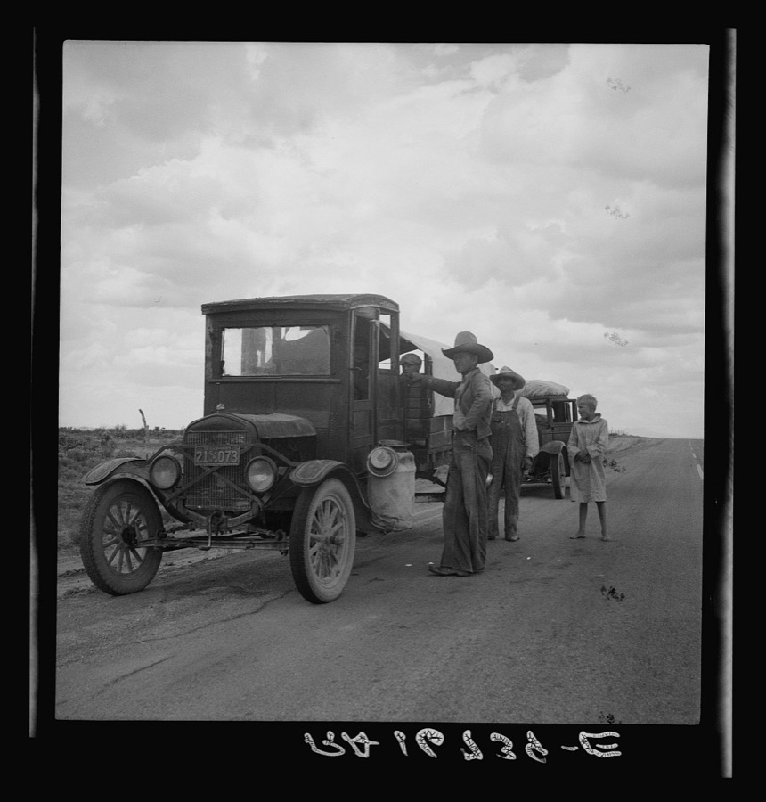
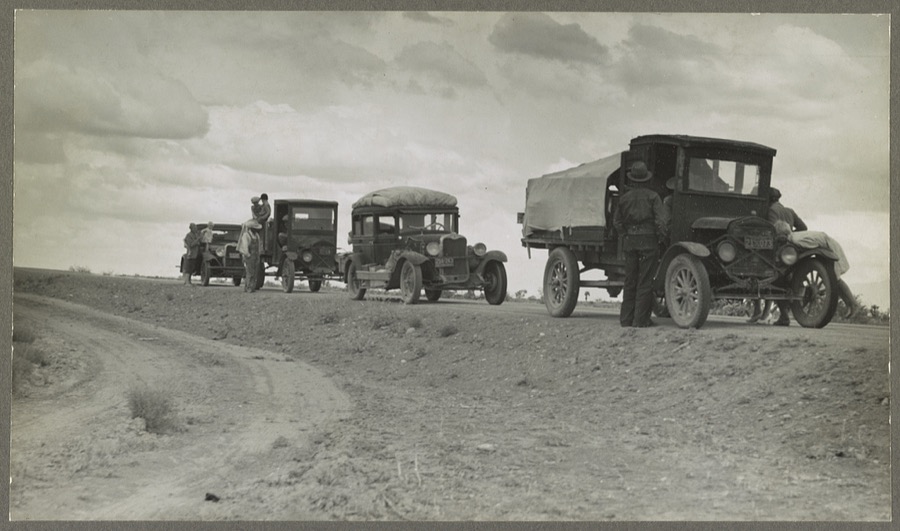
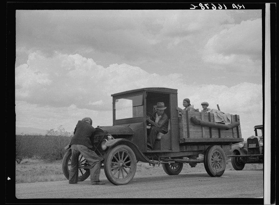
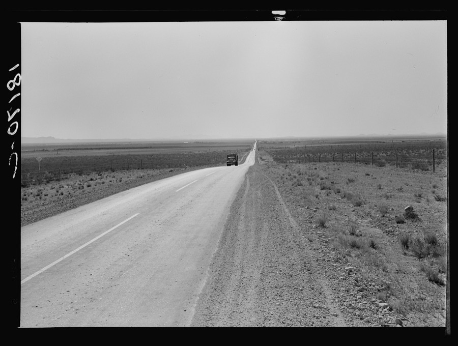
Taken for the Office of War Information and the Farm Security Administration, who photographed the country between 1935 and 1944. Works of United States government photographers, with no known restriction on use. Each opens its catalogue record.
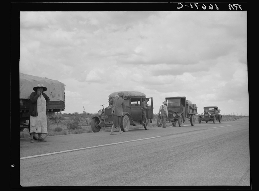
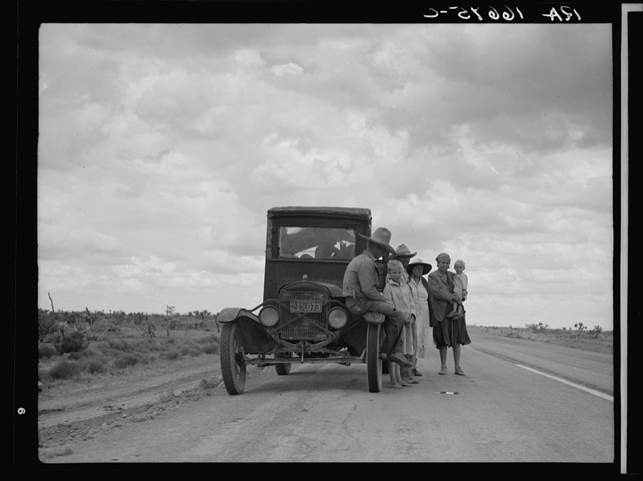
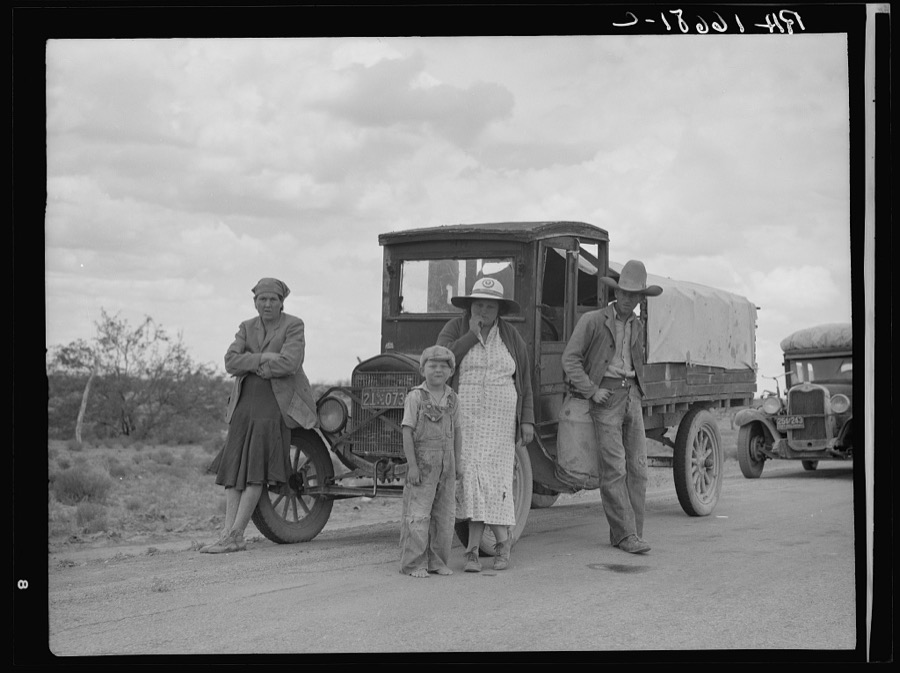
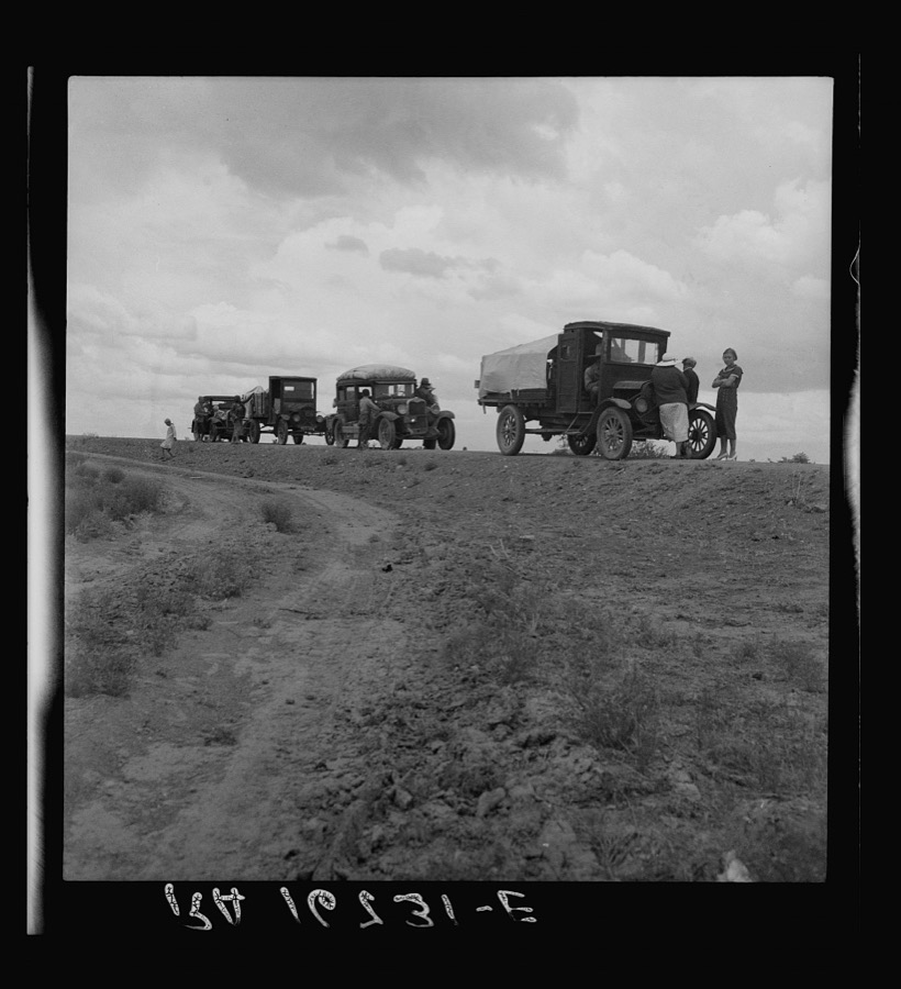
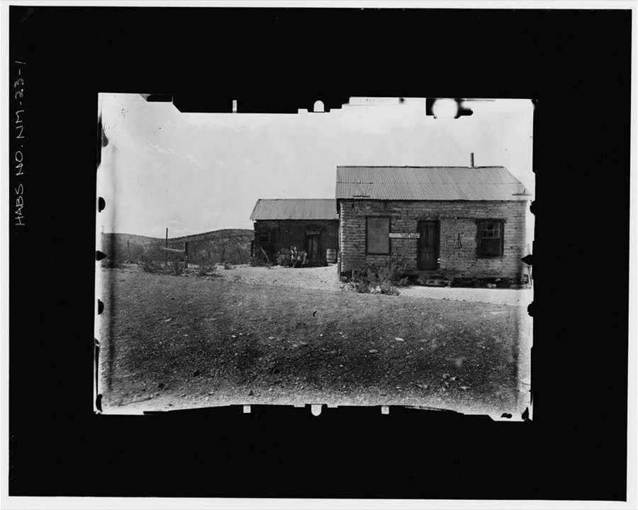
Every property in this county listed on the National Register of Historic Places, with the year it was listed and the federal nomination document.
| Photograph | Property | Type | Listed | Reference |
|---|---|---|---|---|
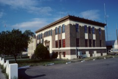 | Hidalgo County Courthouse | building | 1987 | 87000897 |
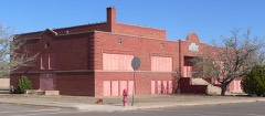 | Lordsburg High School | building | 2015 | 15000606 |
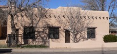 | Lordsburg-Hidalgo County Library | building | 2004 | 03001547 |
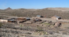 | Shakespeare Ghost Town | district | 1973 | 73001141 |
Sampled issues, machine-read from the Library of Congress scan and published page by page, so every headline and column is searchable text.
Lordsburg, N.M., 1887 to 1919. Machine-read from the Library of Congress scan.
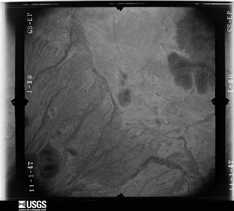
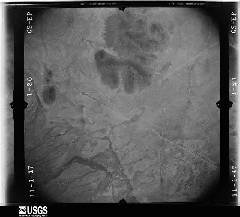
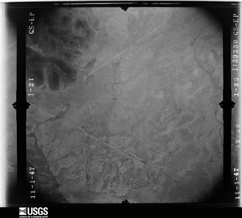
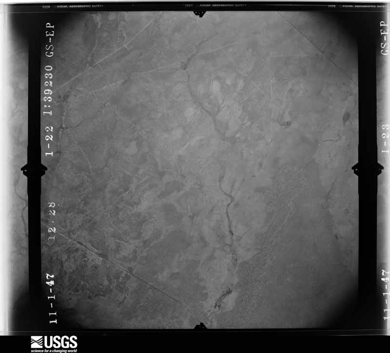
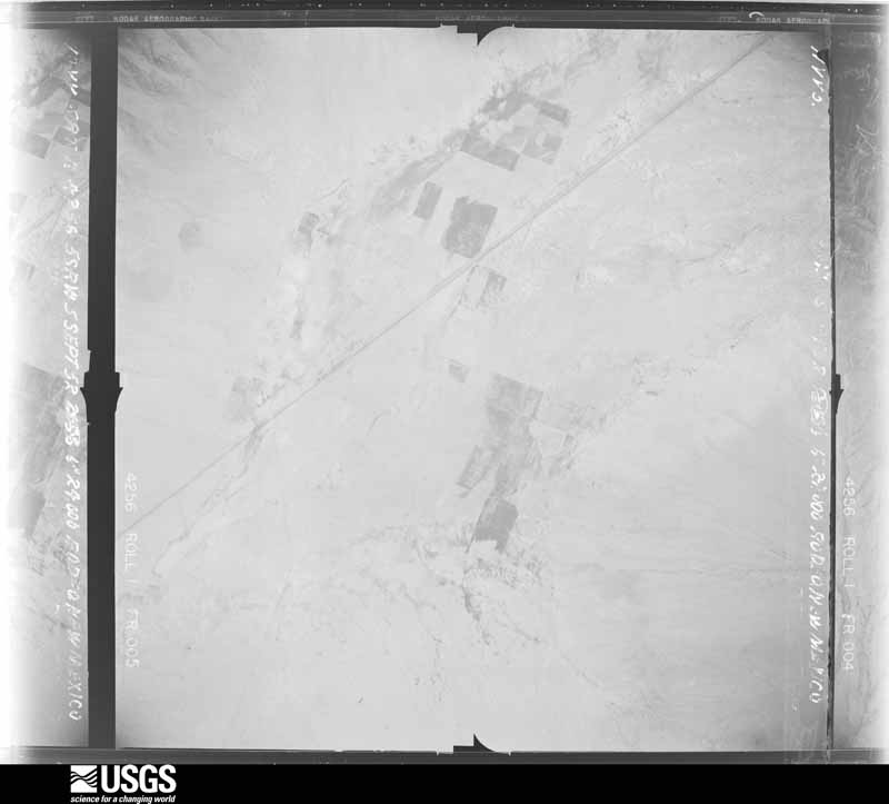
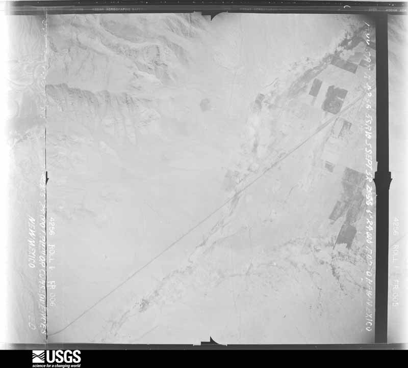
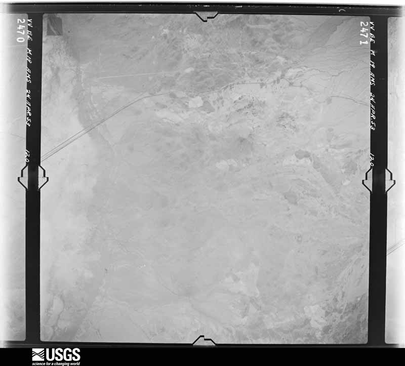
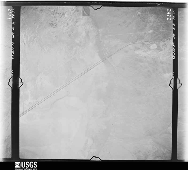
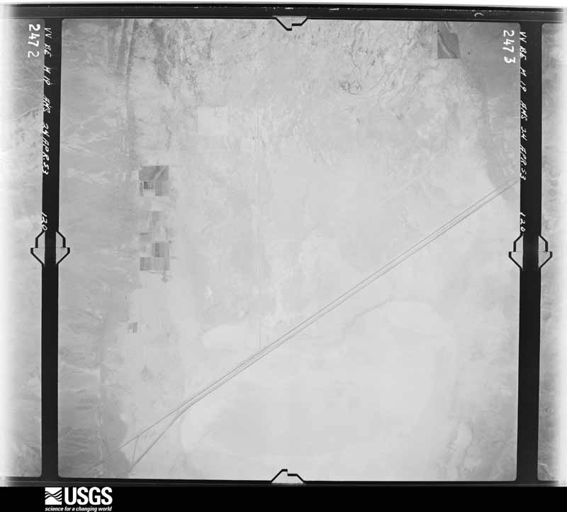
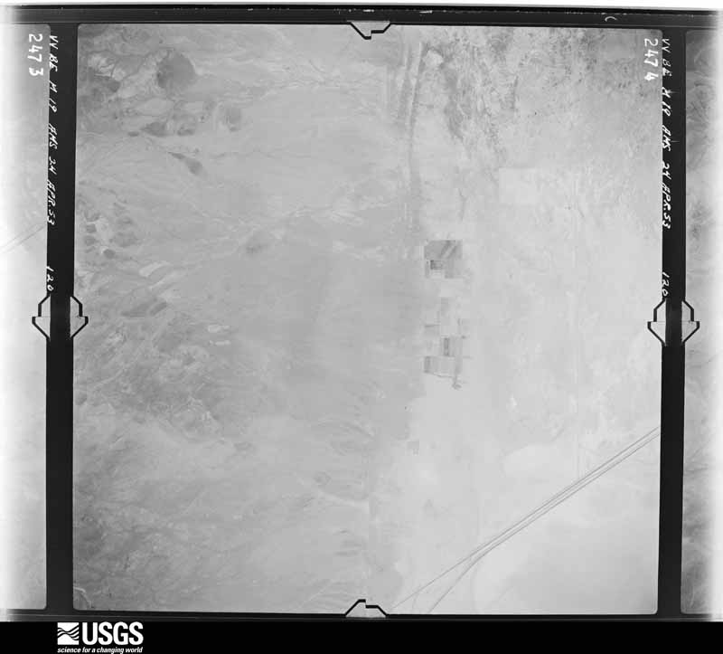
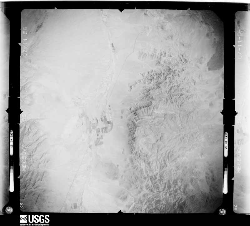
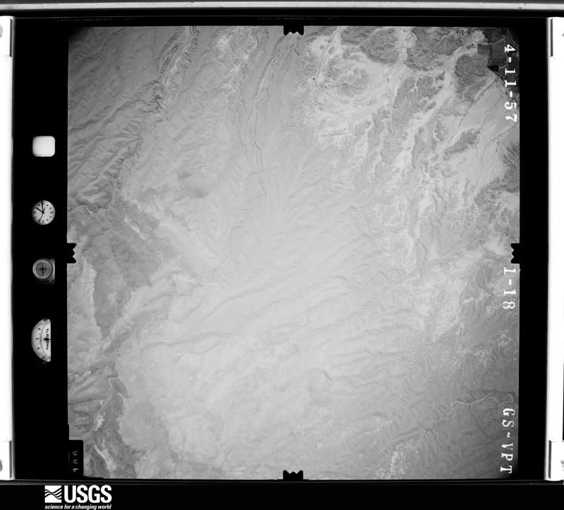
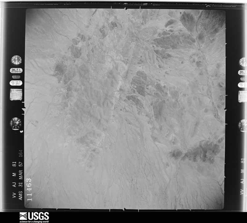
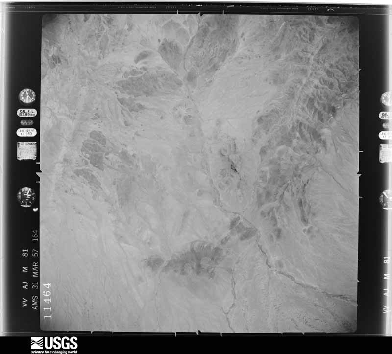
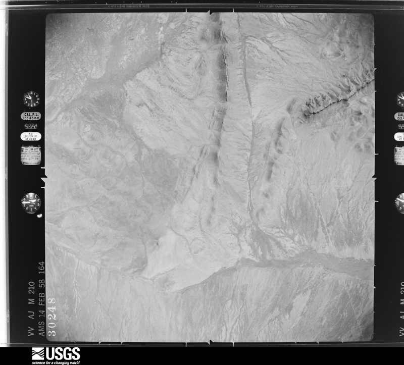
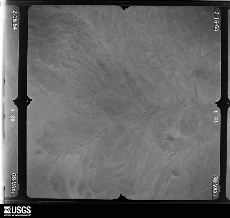
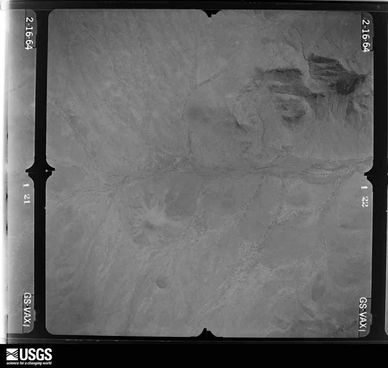
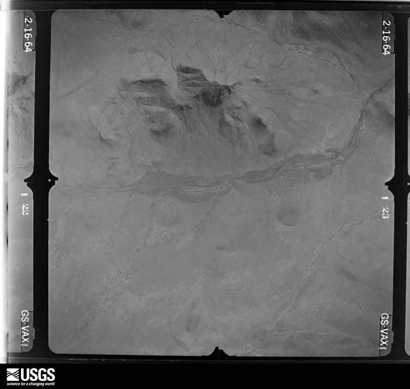
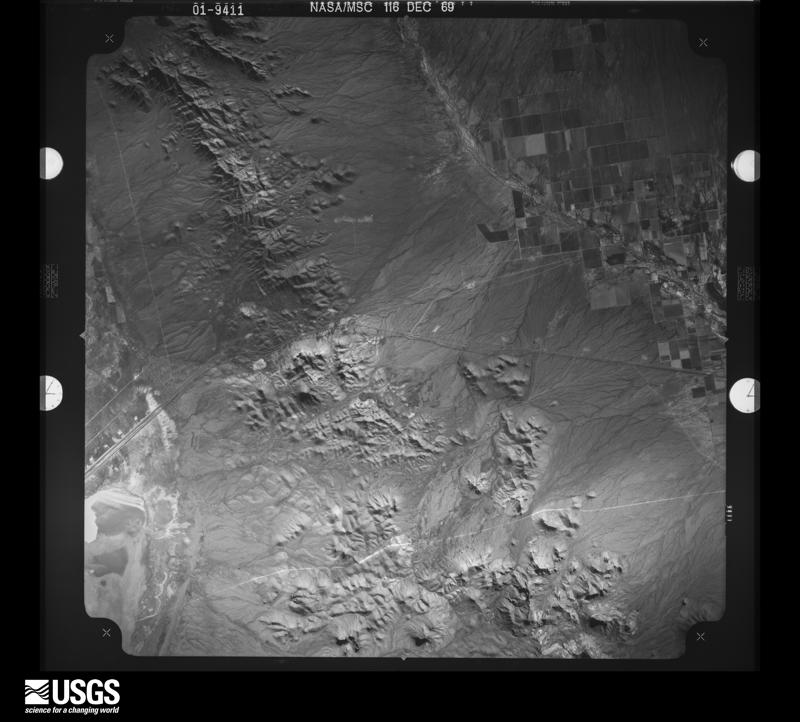
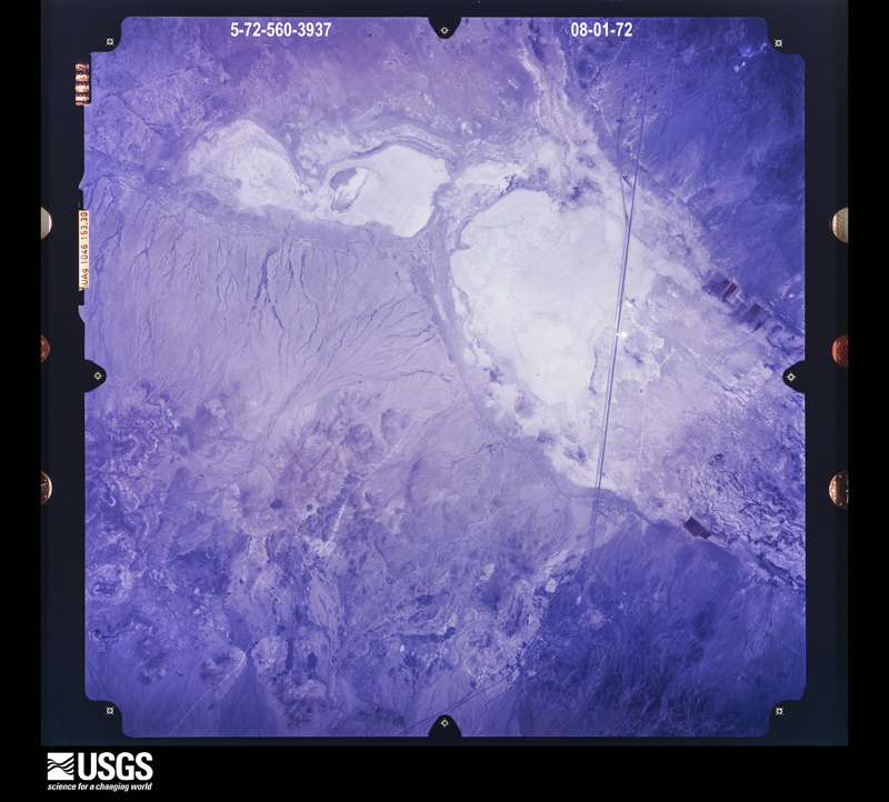
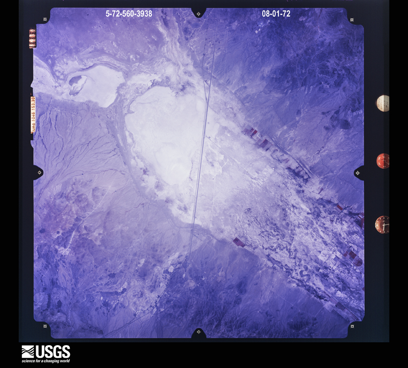
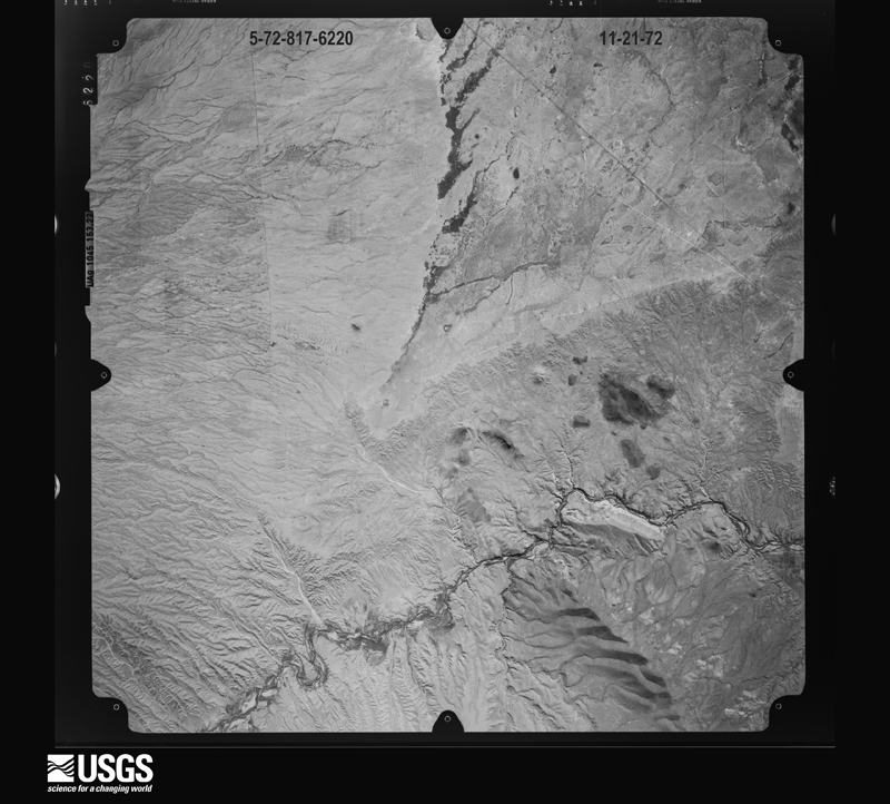
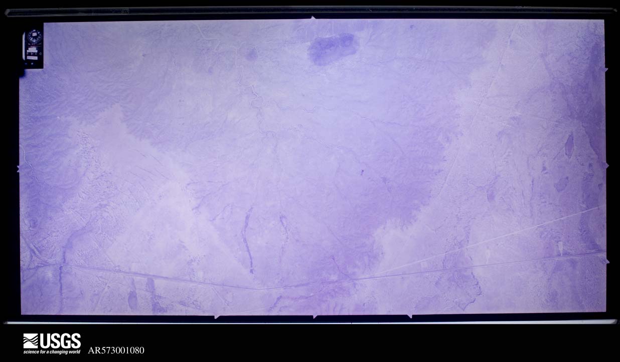
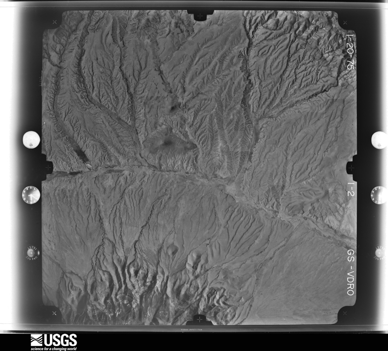
Flown by the U.S. Geological Survey between 1937 and 1989, the Aerial Photo Single Frames collection is the definitive mid-century view of the land: fields, roads and rivers as the camera saw them. The Survey holds 6,851 frames inside the rectangle that bounds this county; the 48 frames below were taken over the county itself, chosen across the decades of flights (at most four a year from that rectangle), so one flight cannot crowd out the rest. The full set is free to browse and download at EarthExplorer under the dataset Aerial Photo Single Frames.
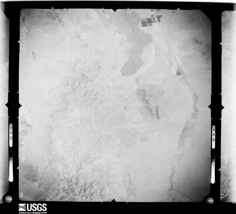
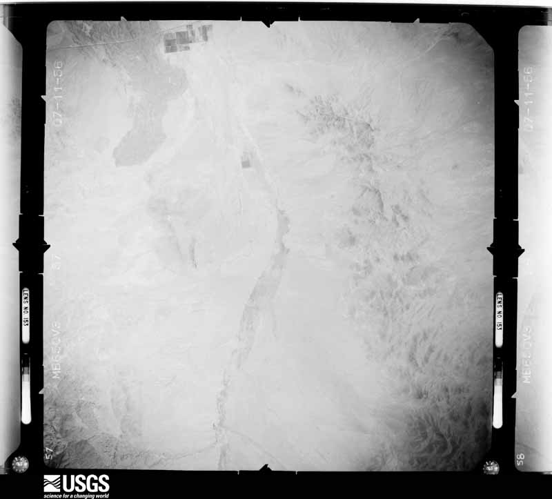
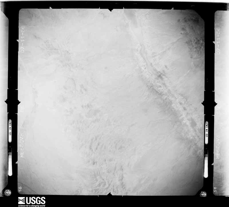
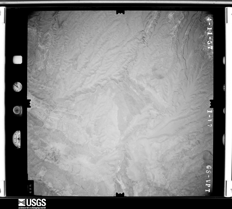
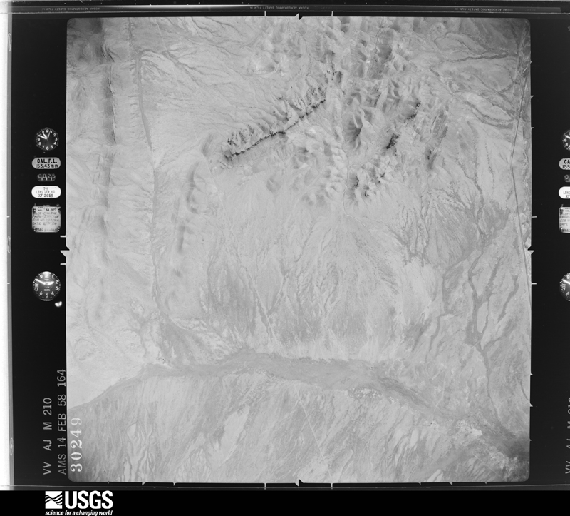
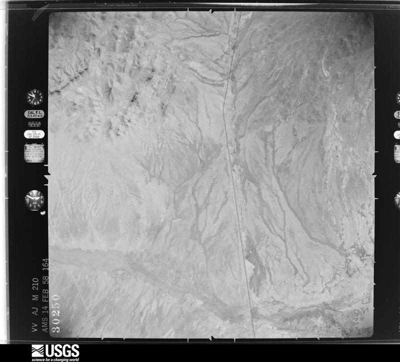
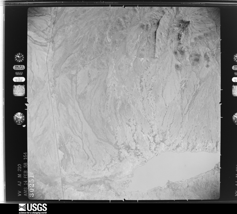
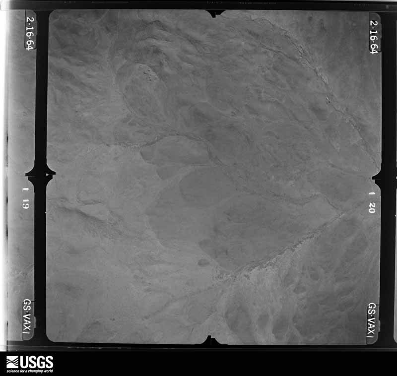
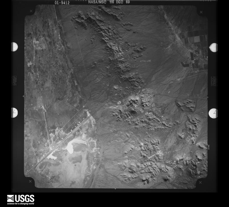
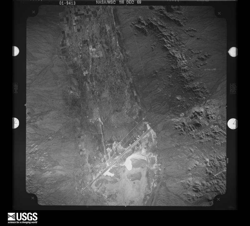
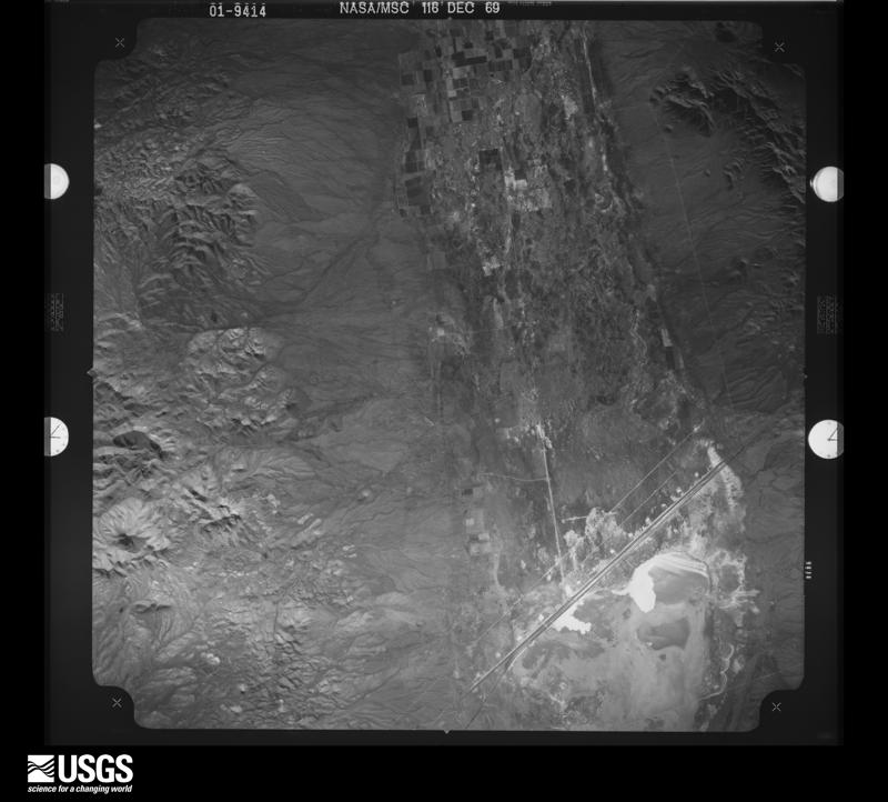
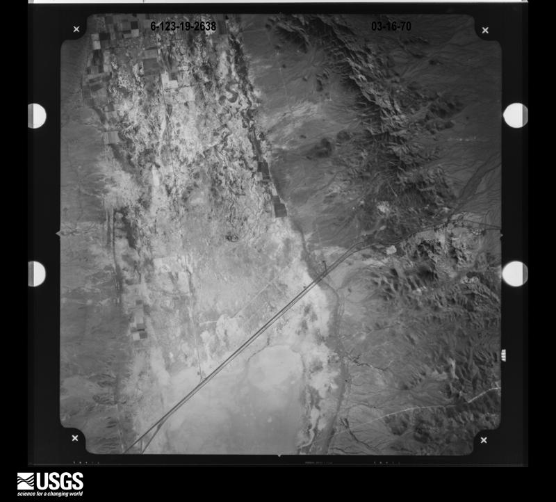
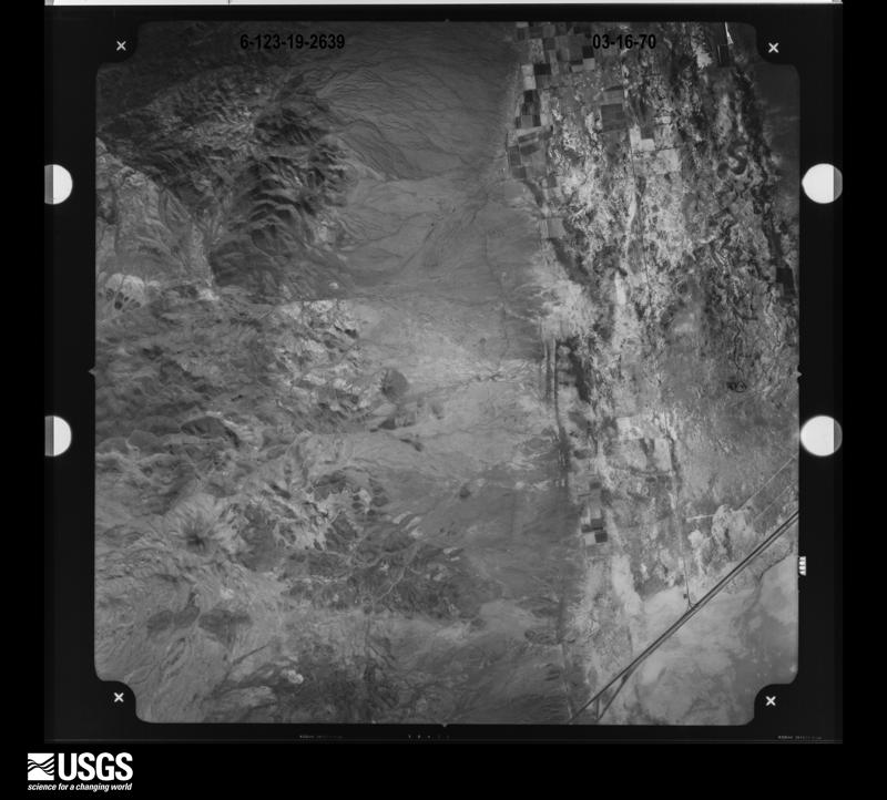
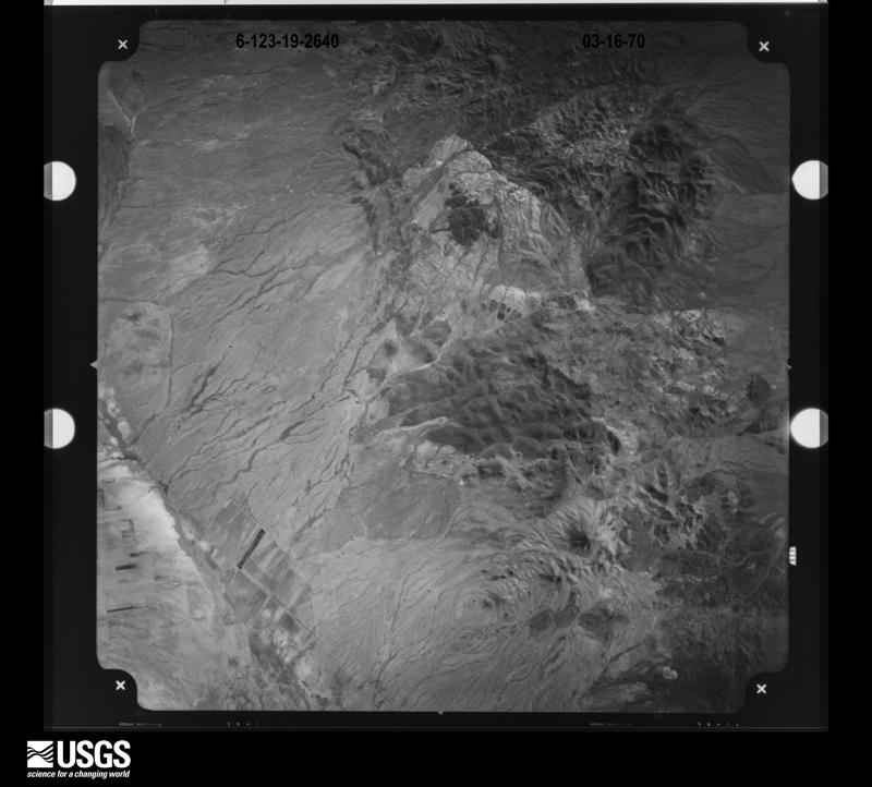
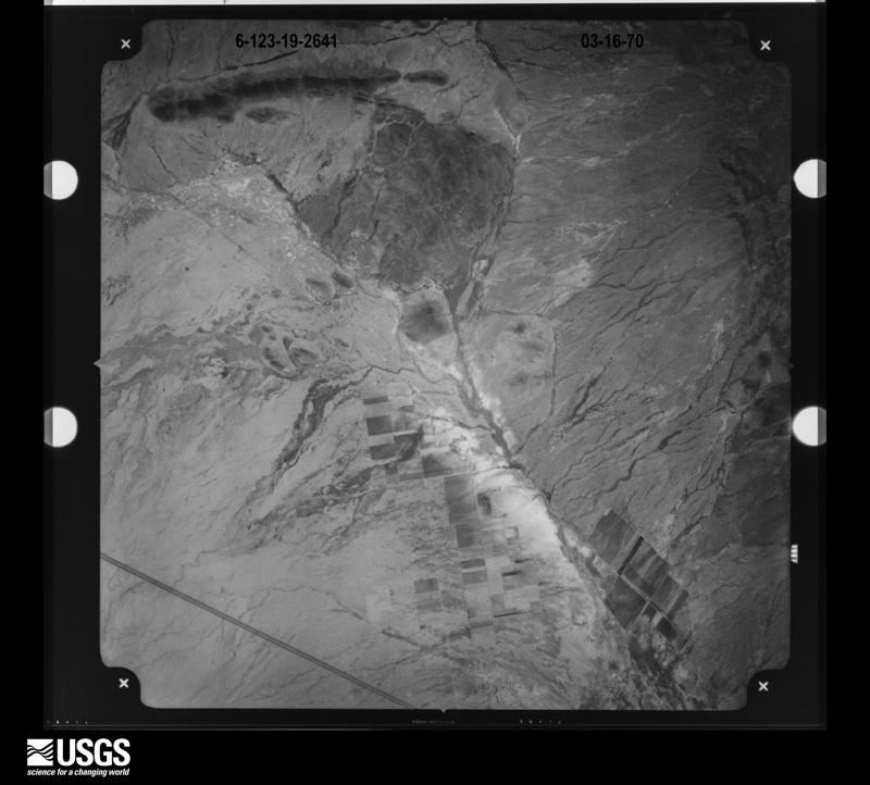
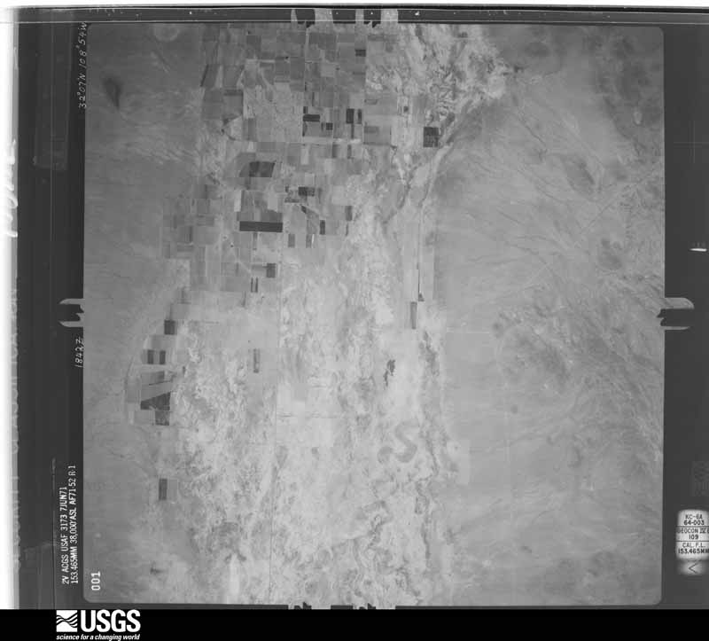
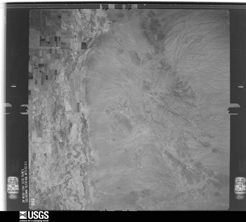
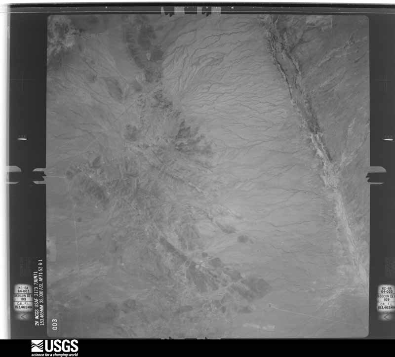
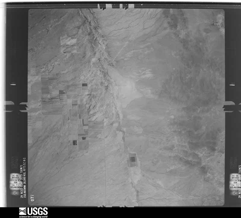
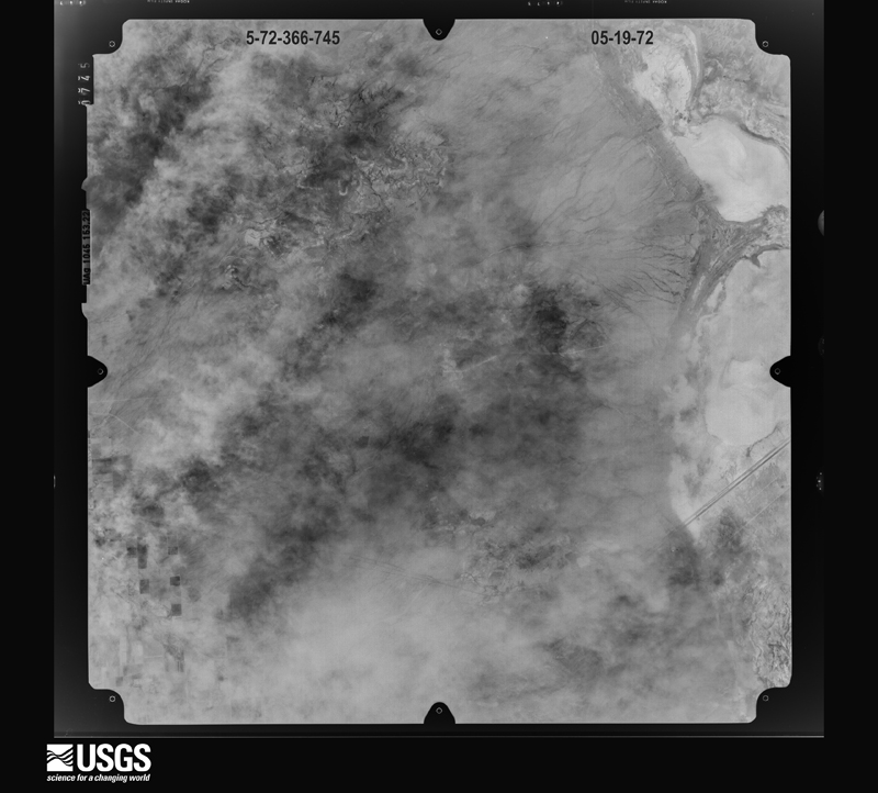
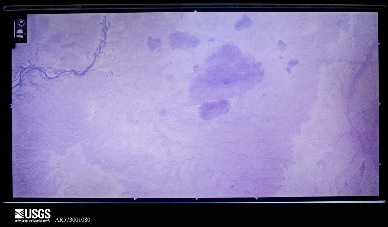
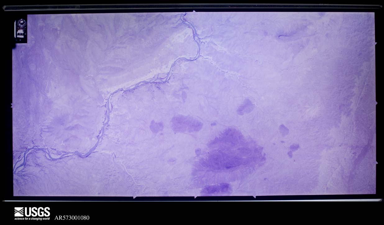
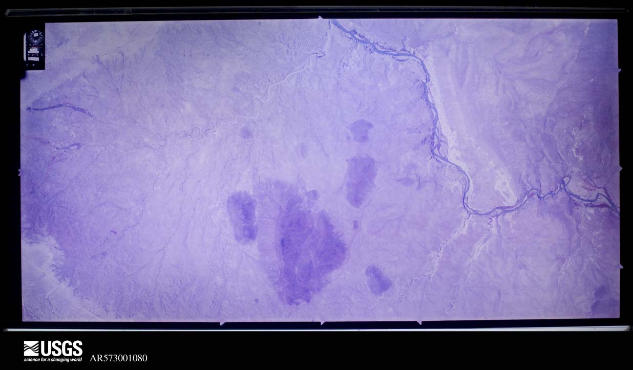
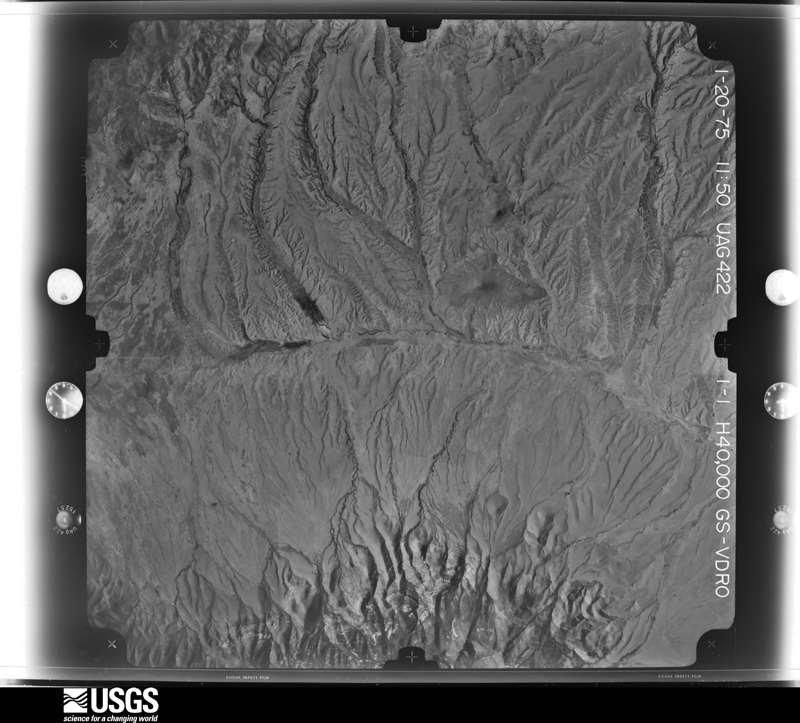
The thermometers that kept this county's weather, and the gages that measured the flow of its streams, as the federal records hold them. The extremes below are measured values from those records, not estimates.
Who lived here in 1950, one enumeration district at a time, as the Census Bureau described each district. Each row opens its official National Archives result, with Population Schedules and ED Maps available there.
Every wildfire the federal occurrence database records inside this county: 250 of them, burning about 531,330 acres. 83 started naturally and 2 were recorded as arson. Each settlement page carries the fires within five miles of it.
| Reported cause | Fires |
|---|---|
| Missing data/not specified/undetermined | 132 |
| Natural | 83 |
| Recreation and ceremony | 9 |
| Equipment and vehicle use | 8 |
| Debris and open burning | 6 |
| Smoking | 6 |
| Power generation/transmission/distribution | 4 |
| Arson/incendiarism | 2 |
The five largest, by the area the report gives. None of them was recorded as arson.
| Date | Cause | Size | Reported by | Name on the report |
|---|---|---|---|---|
| 10 June 2009 | Natural | 95,000 acres | Las Cruces Field Office | PASCO |
| 22 April 2018 | Natural | 61,620 acres | Las Cruces Field Office | OK BAR |
| 11 June 1994 | Missing data/not specified/undetermined | 41,800 acres | New Mexico State Forestry Division | FLAT COMPLEX |
| 27 June 2002 | Natural | 31,000 acres | Las Cruces Field Office | WALNUT |
| 9 June 1993 | Natural | 27,181 acres | Las Cruces Field Office | LINCH |
| 7 May 1999 | Natural | 23,680 acres | Las Cruces Field Office | GARCIA |
| 7 May 2011 | Recreation and ceremony | 23,600 acres | Las Cruces Field Office | CLOVERDALE 2 |
| 16 May 2018 | Missing data/not specified/undetermined | 20,586 acres | Las Cruces Field Office | SAN LUIS |
Every settlement page carries the fires within five miles of it - see the settlement index below.
The NOAA Storm Events Database holds 68 reports for this county, causing no deaths, no injuries and about $88,000 in recorded property damage. Each settlement page carries the reports that name it.
| Kind of event | Reports |
|---|---|
| Thunderstorm Wind | 36 |
| Hail | 17 |
| Flash Flood | 8 |
| Tornado | 3 |
| Heavy Rain | 3 |
| Funnel Cloud | 1 |
The most serious of them, by death, then injury, then recorded damage. The accounts are quoted exactly as the forecast office filed them.
| When | Event | Place named | Harm | What the report says |
|---|---|---|---|---|
| August 2017 | Thunderstorm Wind | Mondel | $50,000 | Power was out in Lordsburg area for over 30 hours. The wind created a dust storm with near zero visibility west of Lordsburg near mile marker 6 which caused a 2015 Dodge truck towing a travel trailer to rear end an 18 wheeler which had slowed down due to the conditions. One woman in the Dodge truck was killed and serious injuries were sustained to the driver of the truck. |
| August 2017 | Thunderstorm Wind | Animas | $25,000 | About 20 power poles were down between Animas and Rodeo. Power was out for over 36 hours in these areas. |
| May 2007 | Hail | Cloverdale | $5,000 | Downburst winds gusting to an estimated 80 mph drove a large amount of quarter size hail into the sides of buildings on the Midbar Ranch. All screens on the windward side were destroyed. Bark was stripped from trees on the windward side of trunks. Tall grass was stripped to near the ground. |
| July 2004 | Thunderstorm Wind | Lordsburg | $3,000 | Thunderstorm outflow winds gusted to 70 mph in Lordsburg, blowing down power lines and trees throughout the town. |
| June 1961 | Tornado (F1) | not stated | $2,500 | no account filed |
| October 2015 | Thunderstorm Wind | Animas | $2,000 | Power poles down in Animas. |
| July 2013 | Hail | Virden | $500 | Trained spotters reported golf ball size hail and damage to crops and trees. There was also a broken house window. |
| August 2025 | Thunderstorm Wind | Mondel | - | A NMDOT site on the Lordsburg Playa recorded a peak wind gust of 71 mph. |
| August 2025 | Flash Flood | Steins | - | The Emergency Manager reported flash flooding on Interstate 10 westbound where water was running across the lanes. |
| July 2024 | Thunderstorm Wind | Mondel | - | A Mesonet station on the Lordsburg Playa near mile marker 7 reported a peak gust of 67 mph. Several other stations on the playa reported gusts of 60 to 65 mph. |
| July 2024 | Thunderstorm Wind | Lordsburg Arpt | - | A peak gust of 63 mph was reported at the Lordsburg Airport. |
| June 2024 | Thunderstorm Wind | Playas | - | The Hachita Valley RAWS station recorded a peak gust of 72 mph. |
| August 2024 | Thunderstorm Wind | Mondel | - | The Mesonet station at mile marker 12 along Interstate 10 recorded a peak gust of 65 mph. |
| August 2023 | Thunderstorm Wind | Mondel | - | An NMDOT Mesonet station near mile post 7 on Interstate 10 recorded a peak gust of 68 mph. |
| July 2023 | Thunderstorm Wind | Mondel | - | An NMDOT site on the Lordsburg Playa recorded a peak gust of 61 mph which created areas of blowing dust reducing visibilities to under a half mile. |
| September 2023 | Thunderstorm Wind | Gary | - | A Mesonet station on the Lordsburg Playa near mile marker 13 recorded a peak wind gust of 64 mph. |
| August 2022 | Thunderstorm Wind | Mondel | - | A highway department weather sensor recorded a 60 mph gust about 9 miles east-northeast of Road Forks along Interstate 10. |
| June 2021 | Thunderstorm Wind | Mondel | - | Occurred at mile marker 12 on Interstate 10. |
| July 2021 | Thunderstorm Wind | Mondel | - | Mile post 7 Mesonet site on Interstate 10. |
| July 2021 | Thunderstorm Wind | Rodeo | - | Chiricahua Desert Museum Mesonet site. |
| July 2021 | Thunderstorm Wind | Mondel | - | Mesonet station at mile post 12 on Interstate 10. |
| July 2021 | Thunderstorm Wind | Mondel | - | Mesonet station at mile marker 11 on Interstate 10. |
| August 2021 | Thunderstorm Wind | Gary | - | Report from Mesonet station on the Lordsburg Playa at mile marker 13. |
| July 2020 | Funnel Cloud | Rodeo | - | The public captured a photo of a well-developed funnel cloud north of Rodeo, NM just east of Highway 80. No debris is seen at the base and no damage reported. |
| July 2020 | Thunderstorm Wind | Mondel | - | New Mexico DOT mesonet site located 5 miles northeast of Road Forks. |
| July 2020 | Thunderstorm Wind | Mondel | - | Recorded at a New Mexico DOT site 6 miles northeast of Road Forks. |
| July 2020 | Thunderstorm Wind | Mondel | - | Recorded at a New Mexico DOT site located 4 miles northeast of Road Forks. |
| August 2020 | Thunderstorm Wind | Mondel | - | New Mexico DOT site located west of Lordsburg. Some blowing dust was also reported in the vicinity. |
| October 2017 | Heavy Rain | Animas | - | A total of 3.60 inches of rain was reported about 3 miles southeast of Animas. |
| October 2017 | Flash Flood | Animas | - | Dirt roads were washed out just to the southeast of Animas. |
| July 2017 | Thunderstorm Wind | Lordsburg | - | A wind gust blew a power line down in Lordsburg on South Main Street. |
| July 2017 | Thunderstorm Wind | Animas | - | A wind gust was estimated at 60 mph along with low visibility from blowing dust. |
| September 2016 | Tornado (EFU) | Lordsburg | - | A landspout tornado was photographed just northwest of Lordsburg. No damage was reported and no survey was done to rate the tornado. Location and path are approximate based on photographer location. |
| July 2015 | Flash Flood | Summit | - | Highway 92 had wash outs from mile marker 0 to mile marker 11. |
| September 2014 | Heavy Rain | Rodeo | - | A CoCoRaHS Observer reported 4.17 inches of precipitation from the 16th through early on the 19th. |
| September 2014 | Heavy Rain | Cloverdale | - | A spotter in Cloverdale reported a total of 4.31 inches of rain between the 17th and early on the 19th. There was some localized road flooding in the town of Cloverdale. |
| August 2013 | Flash Flood | Lordsburg | - | The Hidalgo County Sheriff reported major flooding in Lordsburg. Four to five feet of standing water were reported at the Interstate 10 under passes near Motel Drive at both the east and west ends of Lordsburg. A vehicle extraction was also performed at the Highway 70 underpass. A mesonet site reported 2.16 inches of rainfall near the Interstate 10 port of entry with instantaneous rainfall rates exceeded 5 inches per hour at times. |
| July 2013 | Thunderstorm Wind | Virden | - | A trained spotter reported wind took down an 8 inch diameter tree. |
| August 2010 | Hail | Animas | - | Pea to nickel sized hail covered the ground. |
| April 2007 | Hail | Animas | - | Nickel size hail covered the ground on a ranch north of Animas. |
| August 2007 | Flash Flood | Virden | - | Highway 92 was impassable due to flooded washes. |
| August 2006 | Hail | Animas | - | Dime to golf ball size hail was reported by a U.S. Customs agent at the checkpoint in Antelope Wells. |
| October 2005 | Tornado (F0) | Animas | - | A weak landspout tornado was observed by NM State Police south of Animas. It remained over unpopulated desert terrain. |
| October 2002 | Flash Flood | Central Portion | - | An inch and a half to two inches of rain within an hour flooded portions of area roads, especially Highway 9 just east of Animas and Highway 90 near Lordsburg. |
| July 1999 | Thunderstorm Wind | Lordsburg | - | A severe thunderstorm ripped through the Lordsburg area causing widespread power outages and structural damage. There were numerous reports of downed utility poles. A mobile home was pushed 4 feet off of the foundation with another mobile home damaged when a porch was hurled through the air. A barn on the east side of Lordsburg was completey torn apart. In addition to the strong winds, heavy rains caused minor flooding of streets and intersections. |
| August 1997 | Thunderstorm Wind | Lordsburg | - | Considerable damage resulted from thunderstorm winds in the vicinity of Lordsburg. Damage included several storage buildings destroyed and a power outage which lasted several hours due to a downed power pole. |
| June 2021 | Thunderstorm Wind | Mondel | - | no account filed |
| June 2018 | Hail | Lordsburg | - | no account filed |
| July 2015 | Hail | Lordsburg | - | no account filed |
| September 2011 | Hail | Playas | - | no account filed |
| September 2011 | Hail | Animas | - | no account filed |
| May 2007 | Thunderstorm Wind | Cloverdale | - | no account filed |
| May 2007 | Hail | Cloverdale | - | no account filed |
| May 2007 | Hail | Rodeo | - | no account filed |
| August 2006 | Flash Flood | Countywide | - | no account filed |
| April 2004 | Hail | Lordsburg | - | no account filed |
| July 2003 | Hail | Lordsburg | - | no account filed |
| September 2002 | Hail | Lordsburg | - | no account filed |
| September 2002 | Flash Flood | North Portion | - | no account filed |
| March 1999 | Thunderstorm Wind | Animas | - | no account filed |
The Survey's mineral resources record lists 342 workings inside this county. 19 still produce and 323 are closed or unrecorded. Each settlement page carries the workings within five miles of it.
| Commodity | Workings |
|---|---|
| Sand and Gravel, Construction | 59 |
| Copper | 27 |
| Gold | 27 |
| Manganese | 24 |
| Fluorine-Fluorite | 24 |
| Silver | 17 |
| Lead | 15 |
| Copper, Silver | 12 |
| Tungsten | 12 |
| Stone, Crushed/Broken | 12 |
| Lead, Zinc | 10 |
| Lead, Silver | 9 |
| Zinc | 8 |
| Copper, Silver, Gold | 8 |
The least common of them first, because a county's hundredth gravel pit says nothing its first ten did not.
| Where | Site | Commodity | Status | Recorded |
|---|---|---|---|---|
| (Facility) Hidalgo Smelter | Copper, Sulfur, Sulfuric Acid | Plant | ||
| Allen Mine | Antimony | Occurrence | Stibnite | |
| Anita | Gold, Copper, Lead, Silver | Past Producer | ||
| Anita Mine | Lead, Copper, Silver, Gold, Zinc | Past Producer | 1961 | |
| Apache Mine | Copper, Silver, Gold, Lead, Zinc, Bismuth, Tungsten | Past Producer | 1875, 1885, 1956 | |
| Apache Mine | Silver, Copper, Tungsten, Lead, Bismuth | Past Producer | ||
| Apex Group | Copper, Silver, Zinc, Lead | Past Producer | ||
| Baker Standard Claims | Molybdenum, Tungsten | Past Producer | ||
| Battleship | Lead, Gold, Copper, Silver | Past Producer | ||
| Beck | Zinc, Silver, Gold | Past Producer | ||
| Beck Mine | Silver, Gold, Copper, Lead, Zinc | Past Producer | 1885, 1936 | |
| Bellah's Vanadium | Vanadium | Unknown | ||
| Bonney-Misers Chest & 85 Mine & Plt | Gold, Silver, Copper, Zinc | Plant | ||
| Buckhorn Mine | Silver, Copper, Gold, Lead, Zinc, Bismuth, Tellurium | Past Producer | 1880, 1885, 1940 | |
| Carbonate Hill Mine | Lead, Silver, Zinc, Copper, Gold | Past Producer | 1894, 1956 | |
| Chapo Mine | Lead, Copper | Past Producer | ||
| Clementine Claim | Lead, Silver, Copper | Past Producer | 1955 | |
| Creeper Tunnels | Arsenic | Prospect | ||
| Eagle Mine | Lead, Silver, Copper, Gold, Bismuth | Past Producer | 1885, 1938 | |
| Eagle Mine | Silver, Lead, Bismuth | Past Producer | ||
| Ester Mine | Copper, Iron | Occurrence | 1956 | |
| Faith | Lead, Zinc, Silver | Unknown | ||
| General Jerry Boyle Mine | Copper, Silver, Lead, Gold | Past Producer | 1914 | |
| Gold Hill Mine | Gold, Copper, Silver, Bismuth, Tellurium, Lead, Zinc | Past Producer | 1908, 1941 | |
| Granite Gap Mines | Silver, Lead, Zinc, Copper, Gold, Arsenic, Tungsten | Past Producer | 1885, 1950 | |
| Granite Gap Mines | Arsenic, Copper, Lead, Silver, Zinc | Past Producer | ||
| Guano Mine | Phosphorus-Phosphates | Past Producer | ||
| Hawkins, Kelly, & Butterworth | Copper, Silver, Uranium | Unknown | ||
| Henry Clay Mine | Copper, Silver, Zinc, Gold, Lead | Past Producer | 1875, 1885, 1962 | |
| Hoggett Manganese Deposits | Manganese, Fluorine-Fluorite, Tungsten | Past Producer | Fluorite, Psilomelane | |
| Homestake | Lead, Silver, Gold | Past Producer | ||
| Homestake-Needmore Mine | Lead, Silver, Copper, Gold, Fluorine-Fluorite | Past Producer | 1952 | |
| James Thomas | Lead, Silver, Gold, Copper | Past Producer | ||
| Jowell Workings | Zinc, Gold | Occurrence | ||
| Kirk's Perlite Industries Deposit | Volcanic Materials | Past Producer | Pumice | |
| Last Chance | Copper, Gold, Lead, Silver | Past Producer | ||
| Last Chance Mine | Silver, Lead, Copper, Gold, Zinc | Past Producer | 1882, 1950 | |
| Lead King | Lead, Vanadium, Copper | Prospect | ||
| Lead Queen Mine | Silver, Lead, Zinc, Cadmium, Copper | Past Producer | 1870 | |
| Light Load Mine | Pumice | Past Producer | ||
| Lordsburg District | Gold, Silver, Copper, Zinc, Fluorine-Fluorite, Lead | Past Producer | 1870, 1970 | |
| Mineral Mountain Mine | Silver, Lead, Copper, Zinc | Past Producer | 1904 | |
| Name Unknown | Copper, Lead, Zinc | Occurrence | Vein | |
| New Year Prospect | Zinc, Lead, Antimony | Prospect | ||
| Peace Manganese Prospect | Manganese, Tungsten, Barium-Barite, Fluorine-Fluorite | Past Producer | 1916, 1943, 1954 | |
| Plains Group | Fluorine-Fluorite, Manganese | Past Producer | 1952 | |
| Pratt Fire Clay Quarry | Fire Clay (Refractory) | Producer | ||
| Pratt Fire-Clay Pit | Clay | Producer | Clay | |
| Ridge Claims | Manganese, Fluorine-Fluorite | Past Producer | 1953 | |
| Rincon | Zinc, Silver, Lead | Past Producer | ||
| Ruth | Silver, Lead, Gold, Copper, Zinc | Past Producer | ||
| San Simon District | Silver, Lead, Copper, Gold, Arsenic, Zinc | Past Producer | 1875 | |
| Sheridan Mine | Lead, Zinc, Silver, Cadmium | Past Producer | 1875 | |
| Silver Trail Mine | Vanadium, Lead, Zinc, Copper, Silver | Occurrence | ||
| Steins Pass | Gold, Silver, Zinc, Copper, Lead | Past Producer | 1875 | |
| Sunrise Mine | Tungsten, Copper, Silver, Lead | Past Producer | 1943, 1956 | |
| Unnamed Quarry | Granite | Unknown | ||
| Waldo Mine | Lead, Silver, Gold, Zinc, Copper | Past Producer | Chalcopyrite, Galena, Sphalerite | |
| Weatherford's Uranium Deposit | Uranium, Thorium | Occurrence | ||
| White Rock Deposit | Rhenium, Uranium, Thorium, Tantalum | Occurrence | Allanite, Euxenite | |
| Animas Mine | Calcium, Fluorine-Fluorite, Silica | Past Producer | 1943 | |
| Barnett Mine | Gold, Silver, Copper | Prospect | ||
| Big Three Group | Gold, Lead, Silver | Unknown | ||
| Big Three Prospect | Silver, Lead, Copper, Zinc, Gold | Occurrence | Chalcopyrite, Galena, Sphalerite | |
| Boles Uranium Prospect | Uranium | Occurrence | ||
| Brockman Mine | Silica | Producer | ||
| Brockman Mine | Silica | Producer | ||
| Chapo Mine | Copper, Lead, Silver, Gold | Past Producer | 1916, 1939 | |
| Charles Mine | Copper, Lead, Silver | Past Producer | ||
| Cherry's Mines | Uranium | Occurrence | ||
| Copper Dick Mine | Copper, Gold, Lead, Silver | Past Producer | 1890, 1905, 1954 | |
| Eagle Point Tungsten Claims | Tungsten, Molybdenum | Past Producer | 1940, 1943 | |
| Fluorite Group | Calcium, Fluorine-Fluorite, Silica | Past Producer | 1937 | |
| Name Unknown | Gold, Lead | Occurrence | Galena, Gold, Pyrite | |
| Nellie Bly Mine | Copper, Silver, Gold, Lead, Zinc | Past Producer | 1943 | |
| Red Hill Mine | Lead, Silver, Copper, Zinc, Gold, Molybdenum | Past Producer | 1905, 1950 | |
| Scheelite Group | Tungsten, Molybdenum | Occurrence | ||
| Three J's Claims | REE, Silver, Gold | Unknown | ||
| Venus Mine | Silver, Gold, Lead, Copper | Past Producer | 1880, 1923 | |
| Volcano Mine | Silver, Gold, Lead, Copper | Past Producer | 1885, 1982 | |
| White Rock Deposit | REE | Prospect | ||
| Ada Etta Claim | Lead, Silver, Copper, Gold | Past Producer | 1928 | |
| Amber Pearl Mines | Perlite | Past Producer | ||
| Animas Valley Well | Geothermal | Unknown | ||
| Aztec Mine | Calcium | Unknown | ||
| Big Wolf Calcite | Calcium | Occurrence | ||
| Bonney Mine | Copper, Gold, Silver, Lead, Zinc | Past Producer | 1885 | |
| Charles | Copper, Lead, Silver | Past Producer | Vein | |
| Christmas Tree Mine | Silver, Lead, Copper | Past Producer | ||
| Daisy Mine | Silver, Lead, Copper | Past Producer | ||
| Doyle Property | Lead, Zinc, Silver | Past Producer | Replacement | |
| Eighty-Five Mine | Copper, Gold, Silver, Lead, Zinc | Past Producer | 1885, 1973 | |
| Francis Kay Mine Aberdeen Group Atlantic Mine | Lead, Silver, Copper, Gold, Zinc | Past Producer | 1950, 1952 | |
| Green King Mine | Lead, Silver, Copper, Gold | Past Producer | 1941 | |
| Hand Car Mine | Gold, Copper | Past Producer | Vein | |
| Hope Faith & Charity Group | Copper, Gold, Silver | Past Producer | ||
| Humble No. 1 State Ab | Geothermal | Unknown | ||
| Leintendorf Hills Perlite | Perlite | Producer | ||
| Lizzie Paul Prospect | Gold, Copper | Occurrence | Vein | |
| Owens Mine | Copper, Lead | Unknown | ||
| Proverbial Gypsum Nos. 1 & 2 | Gypsum-Anhydrite | Prospect | ||
| Proverbial Mine | Gypsum-Anhydrite | Past Producer | 1955 | |
| Pyramid Mountains Deposit | Perlite | Occurrence | ||
| Rosa 1-2-3-4 | Copper, Lead | Past Producer | ||
| Silver Hill Mine | Lead, Zinc, Silver, Gold, Copper | Past Producer | 1877, 1910, 1953 | |
| Silver Trail Tunnel | Lead, Silver, Gold, Calcium | Prospect | ||
| Steins Peak Well | Geothermal | Unknown | ||
| Unnamed Occurrence | Gypsum-Anhydrite | Occurrence | Podiform | |
| American Mine | Silver, Copper | Past Producer | ||
| Blue Hill Mine | Silver, Gold, Copper | Past Producer | ||
| Bluebird Mine | Lead, Silver, Copper, Gold | Past Producer | 1941 | |
| Copper Reef Group | Gold, Copper, Silver | Past Producer | 1925 | |
| Daisy Mine | Gold, Copper, Silver | Past Producer | 1865 | |
| Eagle Point | Tungsten, Molybdenum | Past Producer | ||
| Eldorado Group | Lead, Silver, Copper, Gold | Past Producer | 1932 | |
| Gamco Mine | Lead, Silver, Copper, Gold, Zinc | Past Producer | Chalcopyrite, Galena, Sphalerite | |
| Kneyer | Tungsten, Molybdenum | Prospect | ||
| Lordsburg/Goldfield-Hidalgo | Silver, Gold, Copper | Plant | 1983 | |
| Misers Chest Mine | Gold, Copper, Silver, Lead, Zinc | Past Producer | 1879, 1885 | |
| Muscovy Mine | Zinc, Lead, Molybdenum | Past Producer | ||
| Robert E Lee | Silver, Gold, Copper | Past Producer | ||
| Santa Maria Tunnel | Gold, Copper, Silver | Prospect | ||
| Sylvanite Mine | Silver, Copper | Unknown | ||
| Whaley Group | Silver, Copper | Past Producer | ||
| Yucca Claim | Silver, Gold, Copper | Past Producer | ||
| Atwood-Henry Clay | Silver, Lead, Gold, Copper | Past Producer | ||
| Coyle Mine | Gold, Silver | Occurrence | Vein | |
| Eighty-Five Mine | Silver, Lead, Gold, Copper | Past Producer | ||
| Green Mine | Gold, Silver, Copper | Past Producer | ||
| Mikesell Group | Silver, Lead, Gold, Copper | Unknown | ||
| Nelly Bly | Silver, Lead, Gold, Copper | Past Producer | ||
| Pearl Mine | Gold, Silver | Prospect | ||
| Saddle & Silver Mine | Gold, Silver | Occurrence | Vein | |
| Venus | Silver, Lead, Gold, Copper | Past Producer | ||
| Bob Cat Mine | Silver, Gold | Past Producer | ||
| Buckhorn | Silver, Gold | Past Producer | ||
| Carbonate Group | Zinc, Lead | Unknown | ||
| Carbonate Hill Mine | Zinc, Lead, Silver | Producer | ||
| Creeper Tunnels | Silver, Gold | Occurrence | Vein | |
| Doyle Mine | Zinc, Lead, Silver | Prospect | ||
| Hughes | Silver, Gold | Unknown | ||
| Lead Queen | Zinc, Lead | Past Producer | ||
| Owl | Zinc, Lead | Past Producer | ||
| Ridgewood | Silver, Gold | Past Producer | ||
| Robert E. Lee Mine | Copper, Silver, Gold | Past Producer | 1885, 1940 | |
| Ruth Mine | Zinc, Lead, Copper, Silver, Gold | Past Producer | 1952 | |
| Atwood Mine | Copper, Silver, Gold, Lead, Zinc | Past Producer | 1875, 1885, 1961 | |
| Battleship Group | Copper, Silver, Gold, Lead, Zinc | Past Producer | 1895, 1937 | |
| Cobra Negra Group | Copper, Silver, Gold, Lead | Past Producer | 1925, 1950 | |
| Gold Hill | Copper, Silver, Gold | Past Producer | ||
| Goodsight Mine | Copper, Silver, Gold, Lead | Past Producer | 1939 | |
| Last Chance Vein Part of Bonney Group | Copper, Silver, Gold | Past Producer | Vein | |
| Luna Mine | Lead, Zinc | Past Producer | ||
| Mineral Mountain Mine | Silver, Lead | Past Producer | ||
| Owl Mine | Lead, Zinc, Copper, Silver, Gold | Past Producer | Chalcopyrite, Copper, Galena, Sphalerite | |
| Red Hill Mine | Silver, Lead | Past Producer | ||
| Silver Fox Mine | Silver, Lead | Past Producer | Vein | |
| Silver Fox Mine | Silver, Lead | Prospect | ||
| Fitch Property | Lead, Silver | Past Producer | Vein | |
| Stella Maris #1 Copper Queen ? | Copper, Lead, Silver | Past Producer | Chalcopyrite, Galena, Malachite | |
| Carbonate Hill Mine Extension | Lead, Zinc, Silver | Past Producer | Galena, Silver, Sphalerite | |
| Crystal Mine | Lead, Zinc, Copper | Past Producer | Chalcopyrite, Galena, Pyrite, Sphalerite | |
| Crystal Mine | Lead, Zinc | Past Producer | ||
| Duke Claims | Lead, Zinc, Silver | Occurrence | Chalcopyrite, Galena, Magnetite, Pyrite, Sphalerite | |
| Occidental Mine | Lead, Zinc | Prospect | ||
| American Mine | Copper, Silver | Occurrence | Vein | |
| Athena Prospects | Fluorine-Fluorite, Copper, Silver | Past Producer | 1969, 1972, 1975 | |
| Barnett Property | Copper, Silver, Gold | Past Producer | Vein | |
| Blue Hill Mine | Tungsten | Occurrence | Scheelite | |
| Buck Deer Claims | Tungsten | Occurrence | Scheelite | |
| Buck Deer Claims | Tungsten | Prospect | ||
| Century Mine | Lead, Tungsten | Producer | Wulfenite | |
| Copper Dick Mine | Copper, Silver, Gold | Past Producer | ||
| Johnny Bull Mine | Copper, Silver, Lead | Past Producer | 1885, 1917 | |
| Jowell Mine | Copper, Silver | Past Producer | Vein | |
| Little Hatchet Mine | Copper, Silver | Past Producer | ||
| Materials Pit 56-6-S | Stone, Crushed/Broken | Past Producer | ||
| Materials Pit 56-83-F | Stone, Crushed/Broken | Past Producer | ||
| Materials Pit 58-64-S | Stone, Crushed/Broken | Past Producer | ||
| Materials Pit 60-14-S | Stone, Crushed/Broken | Past Producer | ||
| Materials Pit 66-25-S | Stone, Crushed/Broken | Past Producer | ||
| Materials Pit 67-40-S | Stone, Crushed/Broken | Past Producer | ||
| Scheelite Group | Tungsten | Occurrence | Scheelite | |
| Sunrise Claim | Tungsten | Prospect | ||
| Unnamed Basalt Stone Quarry | Stone, Crushed/Broken | Producer | Basalt | |
| Unnamed Quartz Latite Porphyry Stone Prospect | Stone, Crushed/Broken | Occurrence | ||
| Unnamed Quartz Latite Stone Prospect | Stone, Crushed/Broken | Occurrence | ||
| Unnamed Rhyolite Stone Prospect | Stone, Crushed/Broken | Occurrence | Rhyolite | |
| Unnamed Rhyolite Stone Prospect | Stone, Crushed/Broken | Occurrence | Rhyolite | |
| Unnamed Rhyolite Stone Prospect | Stone, Crushed/Broken | Occurrence | Rhyolite | |
| Ward Mine | Tungsten | Past Producer | ||
| Ward Tungsten Mine | Tungsten, Copper | Past Producer | 1954, 1957 | |
| Century | Lead | Past Producer | ||
| Ford Prospect | Lead | Occurrence | ||
| Judita Group | Lead | Occurrence | ||
| Monarch Canyon Mine | Lead | Occurrence | Vein | |
| Name Unknown | Lead | Occurrence | Vein | |
| Silver Tree Mine | Lead | Occurrence | Vein | |
| Waldo | Lead | Past Producer | ||
| Croom Bros Mine | Silver, Manganese | Prospect | ||
| Federal Group | Gold, Silver | Past Producer | Chlorargyrite, Gold | |
| Gillespie Mine | Silver, Copper | Past Producer | 1880, 1885 | |
| Gillespie Mine | Silver | Past Producer | ||
| Knickerbocker Mine | Silver | Past Producer | 1882 | |
| Nutshell Mine | Copper, Silver | Prospect | ||
| Sixty-Six Mine | Gold, Silver | Past Producer | Vein | |
| Volcano | Silver | Producer | ||
| Amy K | Manganese | Past Producer | 1952 | |
| Amy K Claims | Manganese | Past Producer | Vein | |
| Animas Mine | Fluorine-Fluorite | Past Producer | 1942, 1953 | |
| Athena Mine | Fluorine-Fluorite | Producer | 1958 | |
| Athena Prospect Number 2 | Fluorine-Fluorite | Prospect | 1958 | |
| Big Nine | Fluorine-Fluorite | Prospect | Fluorite | |
| Big Nine Prospect | Fluorine-Fluorite | Occurrence | Fluorite | |
| Big Nine Prospect | Fluorine-Fluorite | Prospect | ||
| Black Bob Group | Manganese | Past Producer | 1955 | |
| Black Bob and Winnie | Manganese | Past Producer | Psilomelane | |
| Black Face | Manganese | Past Producer | 1957 | |
| Black Face Manganese Prospect | Manganese | Past Producer | 1943 | |
| Black Streak Claim | Manganese | Past Producer | 1953 | |
| Bug House | Fluorine-Fluorite | Prospect | ||
| Campbell | Fluorine-Fluorite | Occurrence | Vein | |
| Combined Minerals Corp. Mine | Manganese | Past Producer | 1910 | |
| Consolation No. 1 | Manganese | Past Producer | Psilomelane | |
| Fluorite Group | Fluorine-Fluorite | Past Producer | 1937, 1945 | |
| Fluorite Pits | Fluorine-Fluorite | Occurrence | ||
| Gila Bend | Manganese | Occurrence | ||
| Kukendall Prop. | Manganese | Past Producer | 1954 | |
| Kuykendal Property | Manganese | Past Producer | Psilomelane, Pyrolusite, Wad | |
| Lone Star Prospect | Fluorine-Fluorite | Past Producer | 1946 | |
| Lone Star Prospect | Fluorine-Fluorite | Past Producer | ||
| Lucky 3 Claim | Manganese | Past Producer | 1953 | |
| Lucky 3 and Black Streak | Manganese | Past Producer | Vein | |
| Name Unknown | Fluorine-Fluorite | Occurrence | Vein | |
| Name Unknown | Fluorine-Fluorite | Occurrence | ||
| O'Conors | Manganese | Occurrence | ||
| Peace | Manganese | Past Producer | 1954 | |
| Purple Spar Prospect | Fluorine-Fluorite | Occurrence | Fluorite | |
| Ridge Prospect 1952 | Manganese, Fluorine-Fluorite | Occurrence | 1937 | |
| Rusty Ruthlee | Manganese | Past Producer | 1954 | |
| U-Bar Fault Prospects | Fluorine-Fluorite | Occurrence | Fluorite | |
| Volcano Prospect | Fluorine-Fluorite | Occurrence | 1958 | |
| Volcano Prospect | Fluorine-Fluorite | Occurrence | ||
| Ward and Consolation No. 2 | Manganese | Past Producer | Psilomelane | |
| Washburn Prospect | Manganese | Occurrence | ||
| Wilson Prospect | Fluorine-Fluorite | Occurrence | Fluorite | |
| Wilson Prospect | Fluorine-Fluorite | Prospect | Surface | |
| Winkler Anticline Fluorspar Deposits | Fluorine-Fluorite | Past Producer | 1974, 1975 | |
| Winnie Claim | Manganese | Past Producer | 1959 | |
| Wrights Fluorspar | Fluorine-Fluorite | Unknown | ||
| Aberdeen | Copper | Past Producer | ||
| Belle | Copper | Past Producer | ||
| Clemmie Mine | Gold | Past Producer | Chalcopyrite, Gold, Pyrrhotite | |
| Cobra Negra | Copper | Past Producer | ||
| Depression | Copper | Past Producer | ||
| Eloro Mine | Copper | Past Producer | ||
| Faria Workings | Gold | Prospect | ||
| Federal Resources Corp Concentrator | Copper | Producer | ||
| Francis Kay | Copper | Past Producer | ||
| Golden Eagle | Gold | Unknown | ||
| Golden Eagle Mine | Gold | Past Producer | Vein | |
| Green Copper | Copper | Past Producer | ||
| Green Mine | Gold | Occurrence | Gold, Tetradymite | |
| Handcar Vein | Gold | Prospect | ||
| Hobson Claim | Copper | Past Producer | Chalcopyrite | |
| Johnny Bull Mine | Copper | Past Producer | ||
| Livermore-Cottonwood Springs Placers | Gold | Past Producer | 1908 | |
| Mill Mine Golden Chief, and Standard Includes California | Gold | Occurrence | Vein | |
| Name Unknown | Gold | Occurrence | Vein | |
| Name Unknown | Gold | Occurrence | Vein | |
| Name Unknown | Gold | Occurrence | Vein | |
| Name Unknown | Gold | Occurrence | Vein | |
| Napane Mine | Copper | Past Producer | ||
| Nellie Gray Mine | Copper | Past Producer | Chalcopyrite | |
| Orogrande | Gold | Past Producer | ||
| Pearl Mine | Gold | Past Producer | 1908 | |
| Polyanna Mine | Copper | Occurrence | Chalcopyrite | |
| Ridgewood Mine | Gold, Copper | Past Producer | Vein | |
| Silver Dollar | Copper | Past Producer | ||
| Summertime Mine | Copper | Past Producer | ||
| Susie | Copper | Past Producer | ||
| Wake-Up-Charlie Mine | Gold | Past Producer | ||
| Wing Feather Lady | Gold | Unknown | ||
| Gravel Pit | Sand and Gravel, Construction | Unknown | ||
| Gravel Pit | Sand and Gravel, Construction | Unknown | ||
| Gravel Pits | Sand and Gravel, Construction | Unknown | ||
| Gravel Pits | Sand and Gravel, Construction | Unknown | ||
| Hachita Pit | Sand and Gravel, Construction | Occurrence | ||
| Lazy B Gravel Pit | Sand and Gravel, Construction | Producer | ||
| Materials Pit 56-104-F | Sand and Gravel, Construction | Past Producer | ||
| Materials Pit 56-16-F | Sand and Gravel, Construction | Past Producer | ||
| Materials Pit 56-32-F | Sand and Gravel, Construction | Past Producer | ||
| Materials Pit 58-102-S | Sand and Gravel, Construction | Past Producer | ||
| Materials Pit 58-110-F | Sand and Gravel, Construction | Past Producer | ||
| Materials Pit 58-29-S | Sand and Gravel, Construction | Past Producer | ||
| Materials Pit 58-62-S | Sand and Gravel, Construction | Past Producer | ||
| Materials Pit 60-11-S | Sand and Gravel, Construction | Past Producer | ||
| Materials Pit 60-29-F | Sand and Gravel, Construction | Past Producer | ||
| Materials Pit 60-73-S | Sand and Gravel, Construction | Past Producer | ||
| Materials Pit 66-26-S | Sand and Gravel, Construction | Past Producer | ||
| Materials Pit 76-6-S | Sand and Gravel, Construction | Past Producer | ||
| Three Unnamed Gravel Pits | Sand and Gravel, Construction | Unknown | ||
| Two Unnamed Borrow Pits | Sand and Gravel, Construction | Unknown | ||
| Two Unnamed Gravel Pits | Sand and Gravel, Construction | Unknown | ||
| Two Unnamed Gravel Pits | Sand and Gravel, Construction | Unknown | ||
| Unnamed Blow-Sand Pit | Sand and Gravel, Construction | Producer | Sand | |
| Unnamed Borrow Pit | Sand and Gravel, Construction | Unknown | ||
| Unnamed Borrow Pit | Sand and Gravel, Construction | Unknown | ||
| Unnamed Borrow Pit | Sand and Gravel, Construction | Unknown | ||
| Unnamed Borrow Pit | Sand and Gravel, Construction | Unknown | ||
| Unnamed Borrow Pit | Sand and Gravel, Construction | Unknown | ||
| Unnamed Borrow Pit | Sand and Gravel, Construction | Unknown | ||
| Unnamed Borrow Pit | Sand and Gravel, Construction | Unknown | ||
| Unnamed Borrow Pit | Sand and Gravel, Construction | Unknown | ||
| Unnamed Borrow Pit | Sand and Gravel, Construction | Unknown | ||
| Unnamed Borrow Pit | Sand and Gravel, Construction | Unknown | ||
| Unnamed Borrow Pit | Sand and Gravel, Construction | Unknown | ||
| Unnamed Borrow Pit | Sand and Gravel, Construction | Unknown | ||
| Unnamed Borrow Pit | Sand and Gravel, Construction | Unknown | ||
| Unnamed Gravel Pit | Sand and Gravel, Construction | Producer | Gravel | |
| Unnamed Gravel Pit | Sand and Gravel, Construction | Producer | Sand and Gravel | |
| Unnamed Gravel Pit | Sand and Gravel, Construction | Unknown | ||
| Unnamed Gravel Pit | Sand and Gravel, Construction | Unknown | ||
| Unnamed Gravel Pit | Sand and Gravel, Construction | Unknown | ||
| Unnamed Gravel Pit | Sand and Gravel, Construction | Unknown | ||
| Unnamed Gravel Pit | Sand and Gravel, Construction | Unknown | ||
| Unnamed Gravel Pit | Sand and Gravel, Construction | Unknown | ||
| Unnamed Gravel Pit | Sand and Gravel, Construction | Unknown | ||
| Unnamed Gravel Pit | Sand and Gravel, Construction | Unknown | ||
| Unnamed Gravel Pit | Sand and Gravel, Construction | Unknown | ||
| Unnamed Gravel Pit | Sand and Gravel, Construction | Unknown | ||
| Unnamed Gravel Pit | Sand and Gravel, Construction | Unknown | ||
| Unnamed Gravel Pit | Sand and Gravel, Construction | Unknown | ||
| Unnamed Gravel Pit | Sand and Gravel, Construction | Unknown | ||
| Unnamed Gravel Pit | Sand and Gravel, Construction | Unknown | ||
| Unnamed Gravel Pit | Sand and Gravel, Construction | Unknown | ||
| Unnamed Gravel Pits | Sand and Gravel, Construction | Unknown | ||
| Unnamed Sand and Gravel Pit | Sand and Gravel, Construction | Occurrence | Sand and Gravel | |
| Unnamed Sand and Gravel Pit | Sand and Gravel, Construction | Occurrence | Gravel | |
| Unnamed Sand and Gravel Pit | Sand and Gravel, Construction | Occurrence | Gravel | |
| Unnamed Sand and Gravel Pit | Sand and Gravel, Construction | Occurrence | Sand and Gravel | |
| Unnamed Sand and Gravel Pit | Sand and Gravel, Construction | Producer | Sand and Gravel |
Named settlements recorded in the Geographic Names Information System, each with the topographic sheets covering it. Villages, hamlets and abandoned places alike. Each is shown with the nearest named watercourse or landform and the survey quadrangle it falls on. The 1 place that was also surveyed for fire insurance comes first, with the number of atlases and photographs held for them.
North Hidalgo census division · 88045 · On Shakespeare Arroyo · Lordsburg quadrangle
10 sheets, 1954 to 1981
Fire insurance: 5 atlases
South Hidalgo census division · 88020 · Near Baldy Mountain Canyon · Animas Peak NE quadrangle
14 sheets, 1918 to 1983
South Hidalgo census division · 88040 · Near Sentinel Butte · Sentinel Butte quadrangle
13 sheets, 1918 to 1983
South Hidalgo census division · 88040 · Near Playas Valley · Whitewater Mountains quadrangle
14 sheets, 1917 to 1983
South Hidalgo census division · 88020 · On Double Adobe Creek · Animas Peak NE quadrangle
14 sheets, 1918 to 1983
South Hidalgo census division · 88020 · Near Baldy Mountain Canyon · Animas Peak NE quadrangle
14 sheets, 1918 to 1983
South Hidalgo census division · 88040 · On Lower Deer Creek · San Luis Pass quadrangle
14 sheets, 1917 to 1983
South Hidalgo census division · 88040 · On Birch Creek · San Luis Pass quadrangle
14 sheets, 1917 to 1983
South Hidalgo census division · 88020 · Animas Peak NE quadrangle
14 sheets, 1918 to 1983
South Hidalgo census division · 88020 · On Double Adobe Creek · Animas Peak NE quadrangle
14 sheets, 1918 to 1983
South Hidalgo census division · 88040 · On Deer Creek · Hilo Peak quadrangle
14 sheets, 1917 to 1983
South Hidalgo census division · 88020 · Near Cabin Canyon · Tank Mountain quadrangle
12 sheets, 1918 to 1983
South Hidalgo census division · 88020 · Animas Peak NE quadrangle
14 sheets, 1918 to 1983
North Hidalgo census division · 88045 · Near Wildcat Canyon · Swallow Fork Peak quadrangle
9 sheets, 1954 to 1981
No longer a settlement
South Hidalgo census division · 88020 · Near Ray Canyon · Mount Baldy quadrangle
15 sheets, 1918 to 1997
South Hidalgo census division · 88020 · Animas Peak NE quadrangle
14 sheets, 1918 to 1983
South Hidalgo census division · 88040 · On Pierce Peak · Pierce Peak quadrangle
13 sheets, 1918 to 1983
South Hidalgo census division · 88020 · Animas Peak NE quadrangle
14 sheets, 1918 to 1983
North Hidalgo census division · 88045 · Near Atwood Hill · Lordsburg quadrangle
10 sheets, 1954 to 1981
South Hidalgo census division · 88020 · On Double Adobe Creek · Animas Peak NE quadrangle
14 sheets, 1918 to 1983
North Hidalgo census division · 88045 · Near Cedar Mountain · Steins quadrangle
9 sheets, 1954 to 1981
North Hidalgo census division · 88045 · Near Mudhole Draw · Lordsburg quadrangle
10 sheets, 1954 to 1981
North Hidalgo census division · 88045 · Near Atwood Hill · Lordsburg quadrangle
10 sheets, 1954 to 1981
North Hidalgo census division · 88045 · Near Windham Canyon · Duncan quadrangle
14 sheets, 1954 to 1994
South Hidalgo census division · 88020 · Playas Lake North quadrangle
17 sheets, 1918 to 1983
North Hidalgo census division · 88020 · Playas Lake North quadrangle
17 sheets, 1918 to 1983
The vanished settlements of Hidalgo County: the places named above that are no longer on the map.
10 topographic sheets and 5 fire insurance atlases, 1902 to 1942
The complete index, with nothing left out. Each of these is a separate record with its own page: a federal survey report, or the case file that argued a property on to the National Register. Both are public domain and reproduced word for word.
The vanished settlements of Hidalgo County, the places these records name that are no longer on the map.