 Block
From the record
7 National Register listings published here, 1 of them a National Historic Landmark.
Sources: the National Register database, National Park Service
76 topographic sheets and 12 fire insurance atlases across 2 places.
7 National Register listings published here, 1 of them a National Historic Landmark.
Sources: the National Register database, National Park Service
Every property in this county listed on the National Register of Historic Places, with the year it was listed and the federal nomination document.
| Photograph | Property | Type | Listed | Reference |
|---|---|---|---|---|
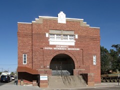 | Deming Armory | building | 1983 | 83001624 |
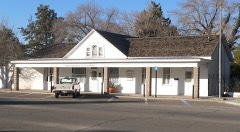 | Seaman Field House | building | 1990 | 90000102 |
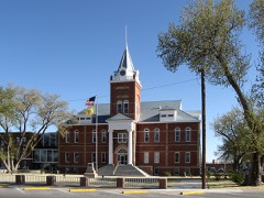 | Luna County Courthouse and Park | building | 1977 | 77000925 |
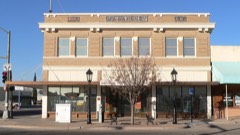 | Mahoney Building | building | 1980 | 80002551 |
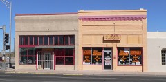 | Old Deming National Bank | building | 2013 | 13000769 |
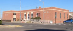 | US Post Office-Deming Main | building | 1990 | 90000139 |
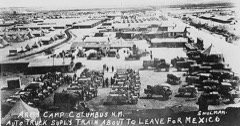 | Village of Columbus and Camp Furlong | district | 1975 | 75001164 |
Sampled issues, machine-read from the Library of Congress scan and published page by page, so every headline and column is searchable text.
Deming, N.M., 1881 to 1948. Machine-read from the Library of Congress scan.
Deming, N.M., 1903 to 1948. Machine-read from the Library of Congress scan.
Columbus, Luna County, N.M., 1911 to 1920. Machine-read from the Library of Congress scan.
Columbus, N.M., 1920. Machine-read from the Library of Congress scan.
Columbus, N.M., 1920 to 1921. Machine-read from the Library of Congress scan.
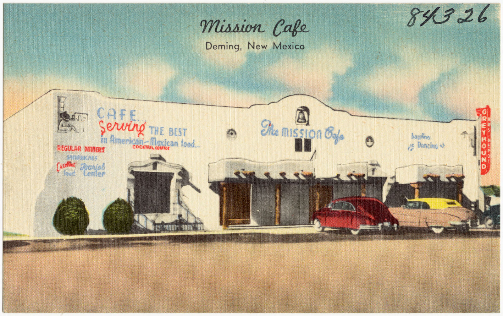
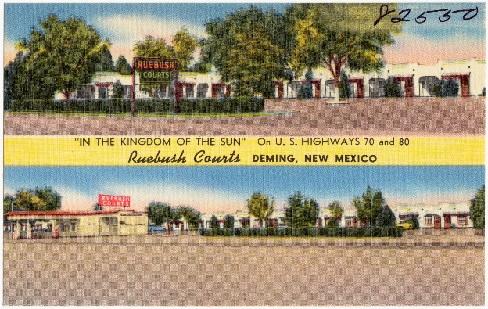
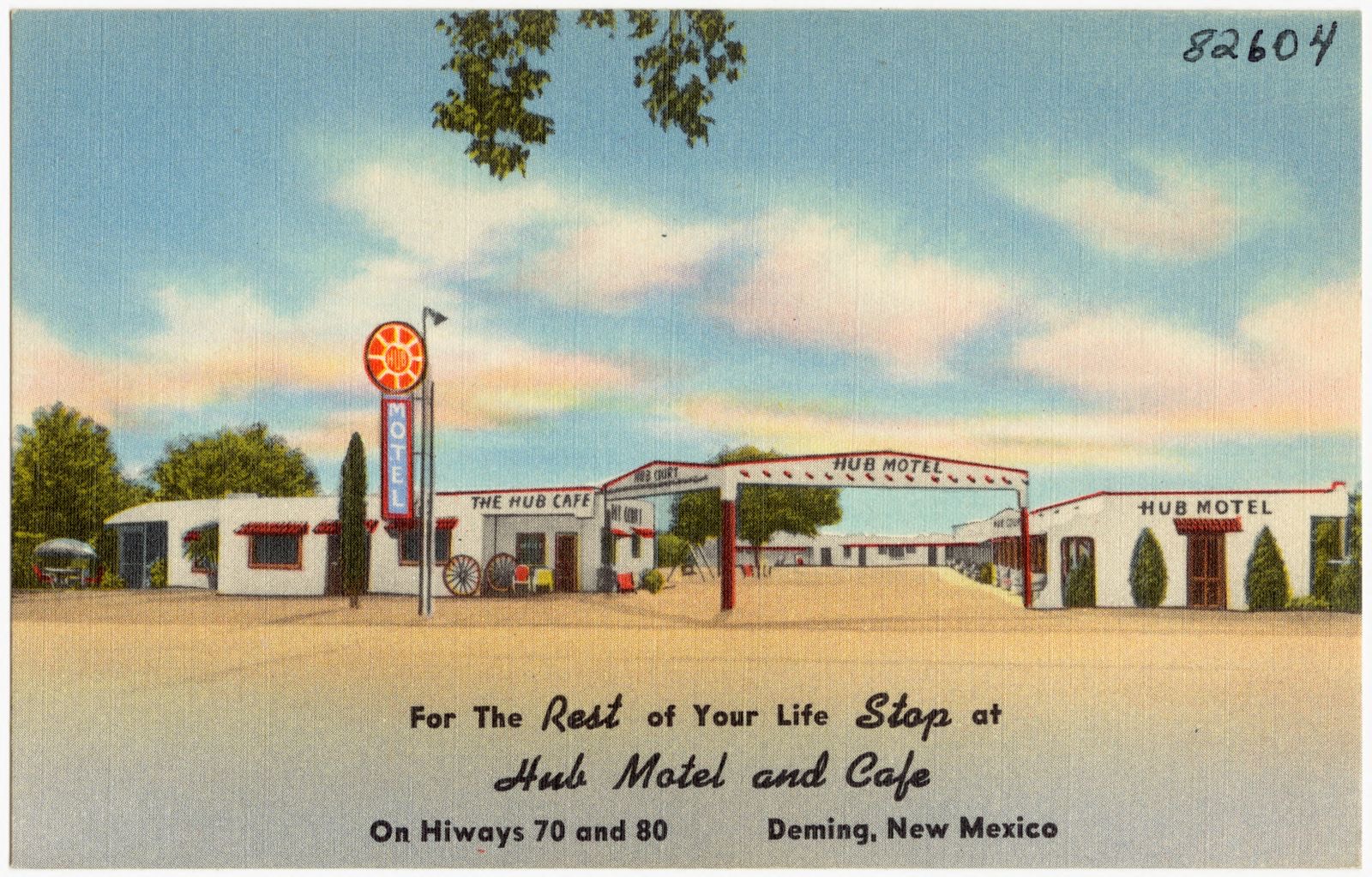
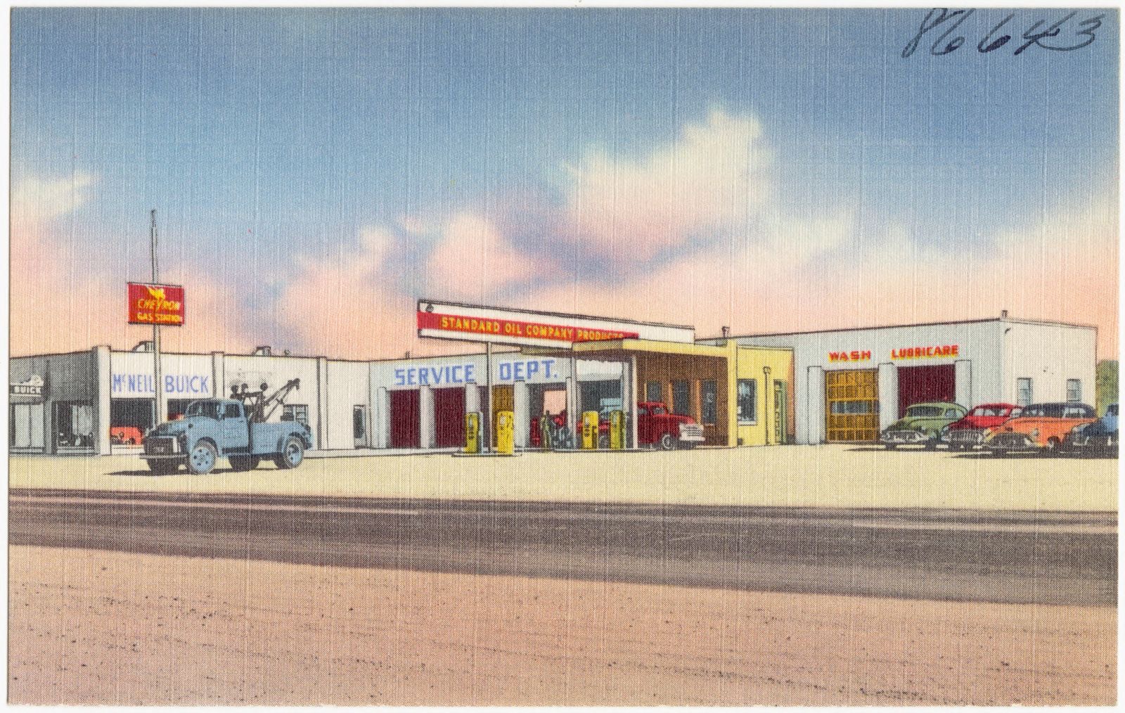
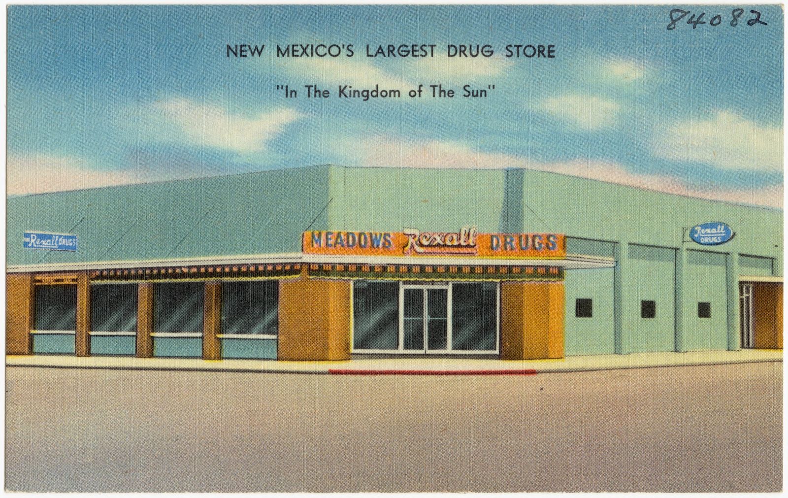
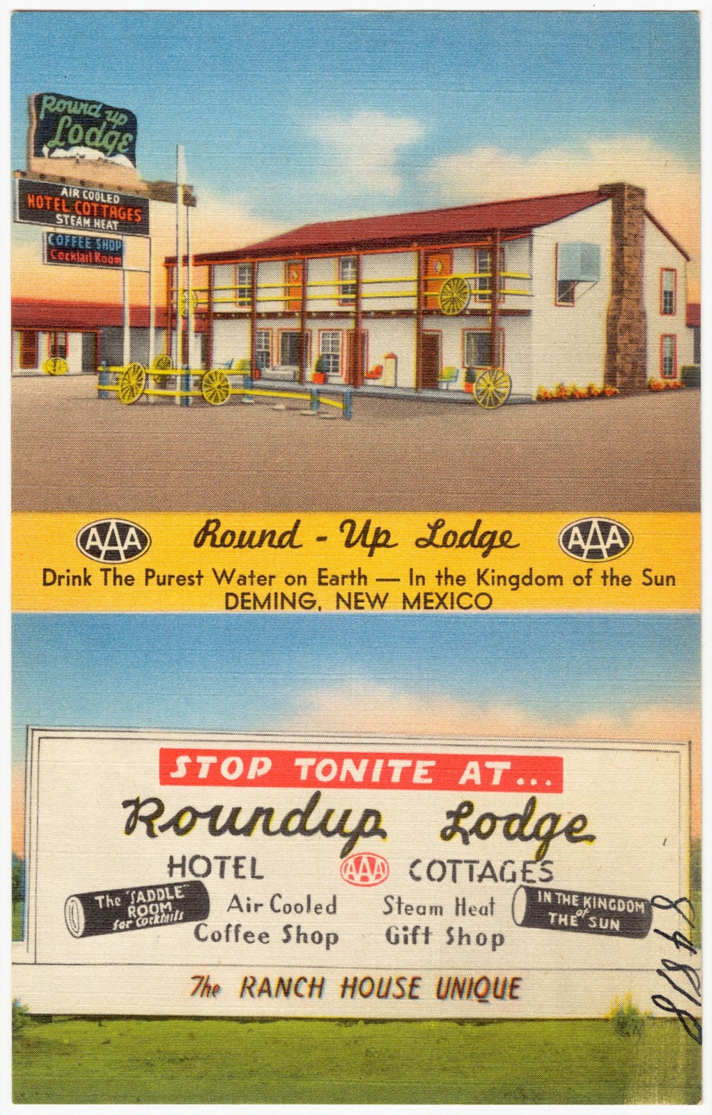
Selected from the Digital Public Library of America's 7 image records catalogued for this county. Every one shown here carries a public-domain status or a licence that permits reuse on a site that carries advertising; non-commercial, share-alike and restricted images are excluded. The selection is spread across the county's towns (at most eight per town), so no single institution's bulk upload crowds out the rest. Each opens the holding library's record, and the complete set at the Digital Public Library of America is one click away.
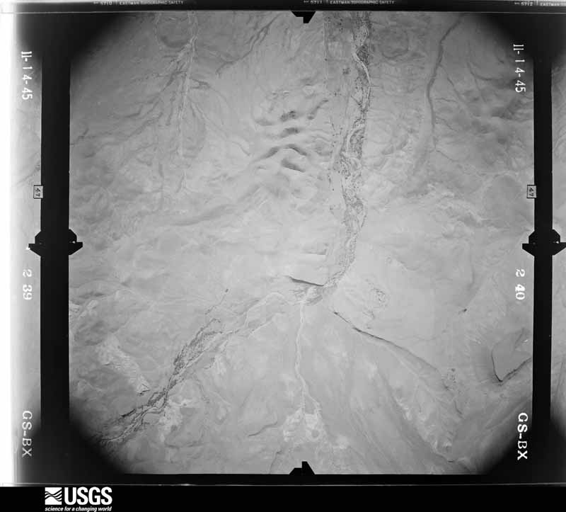
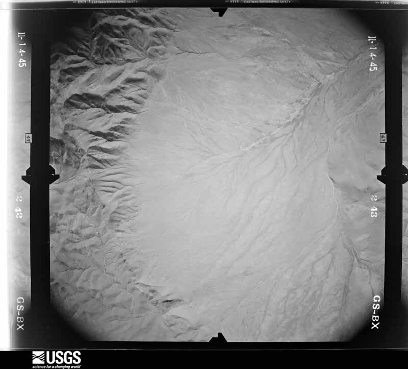
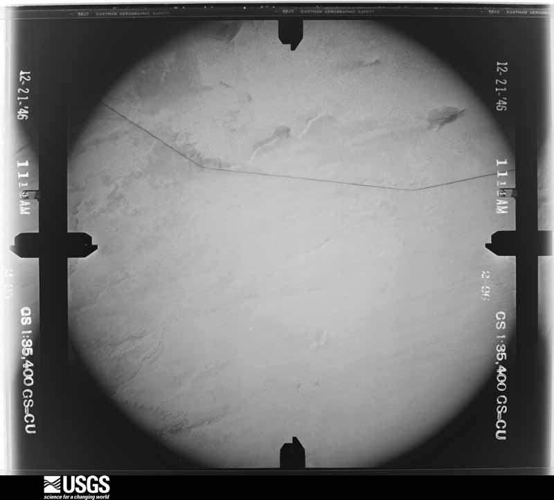
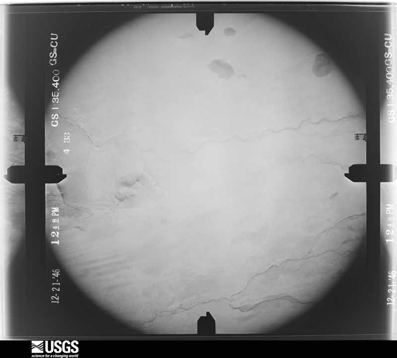
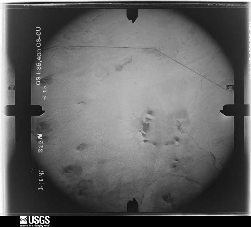
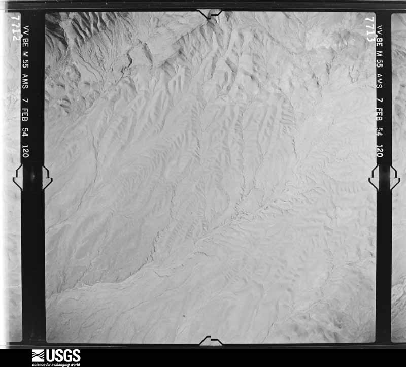
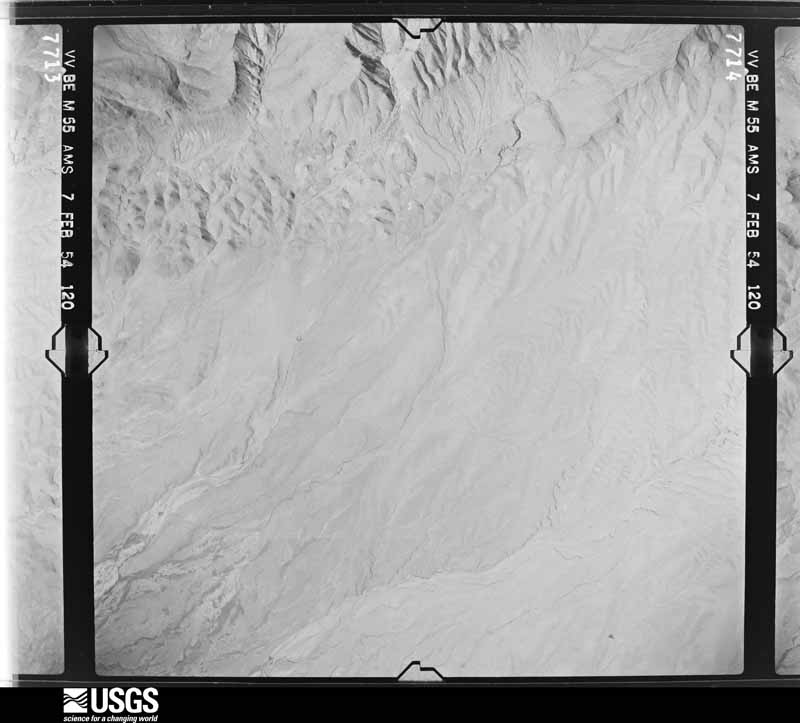
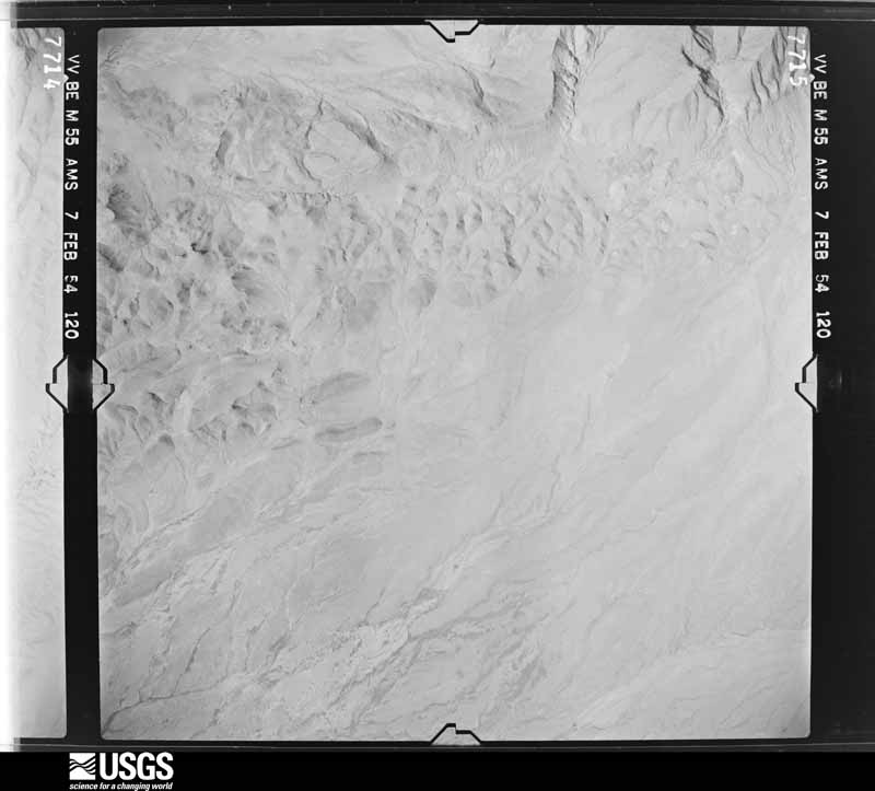
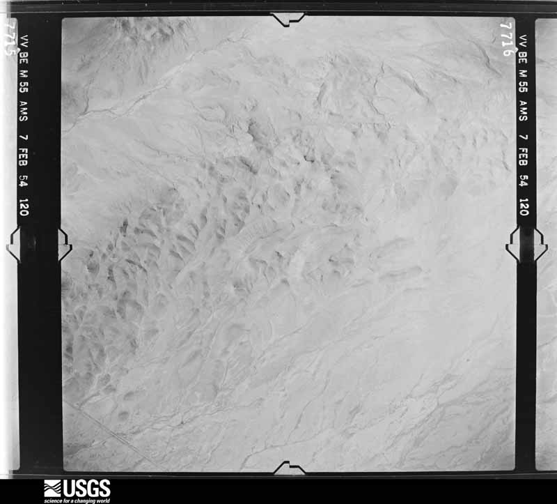
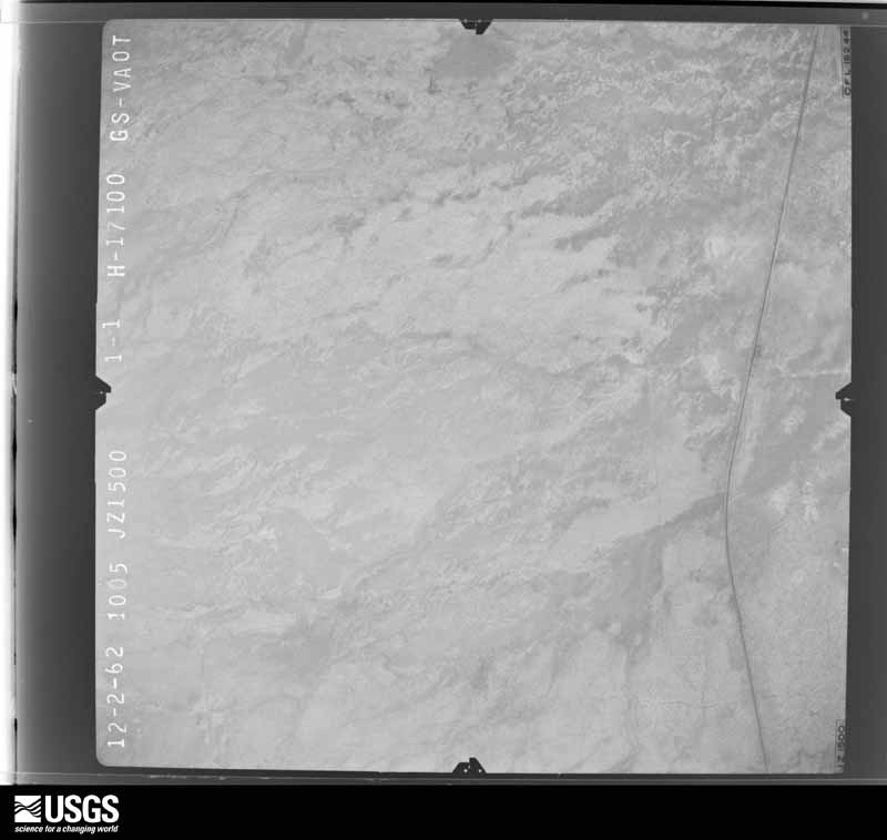
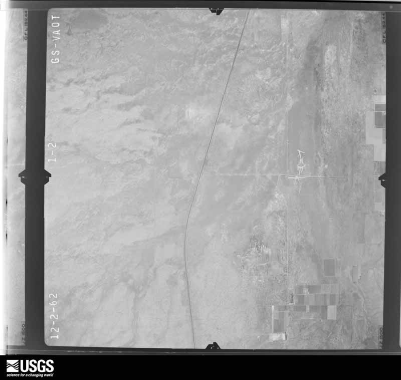
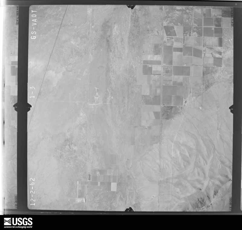
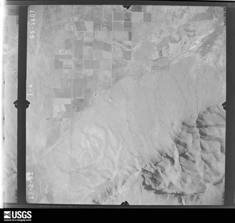
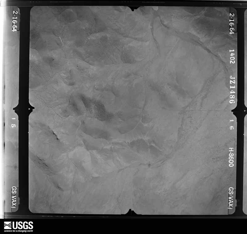
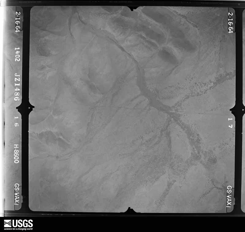
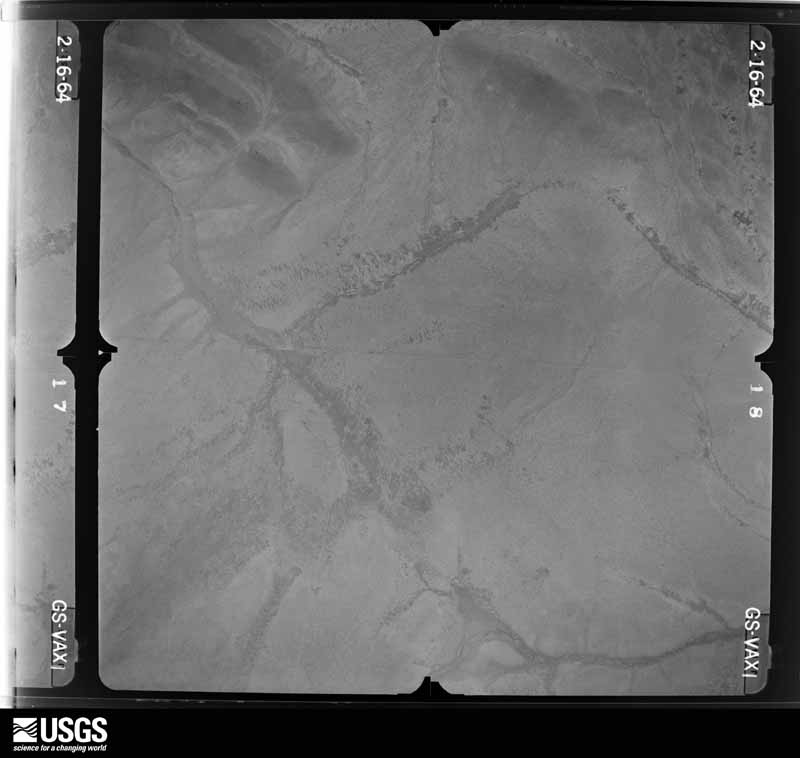
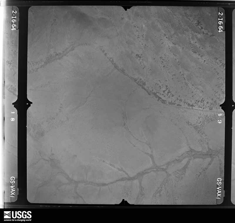
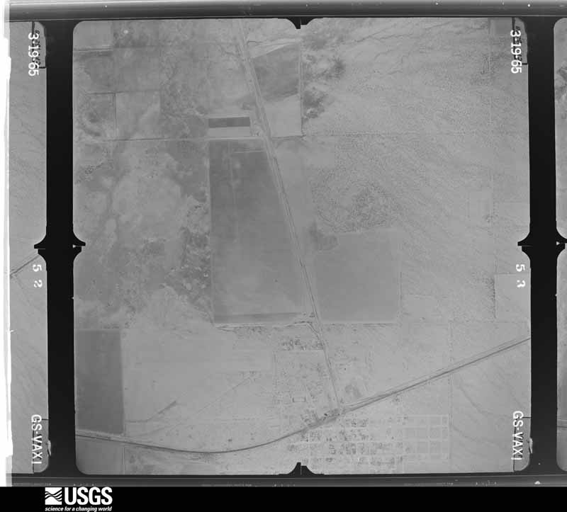
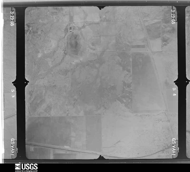
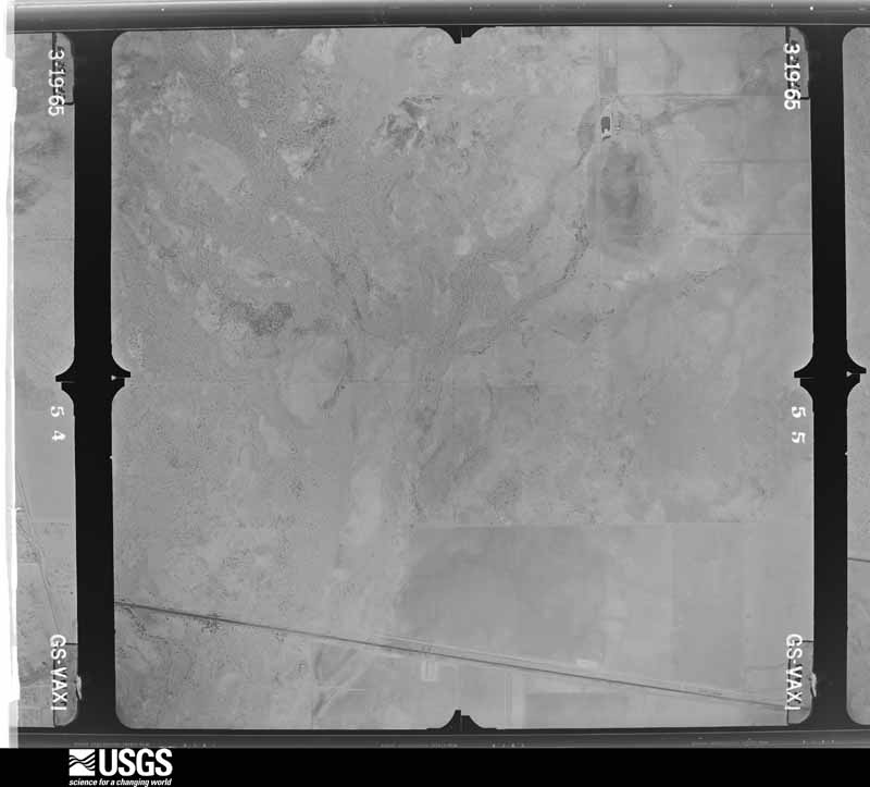
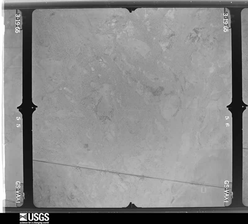
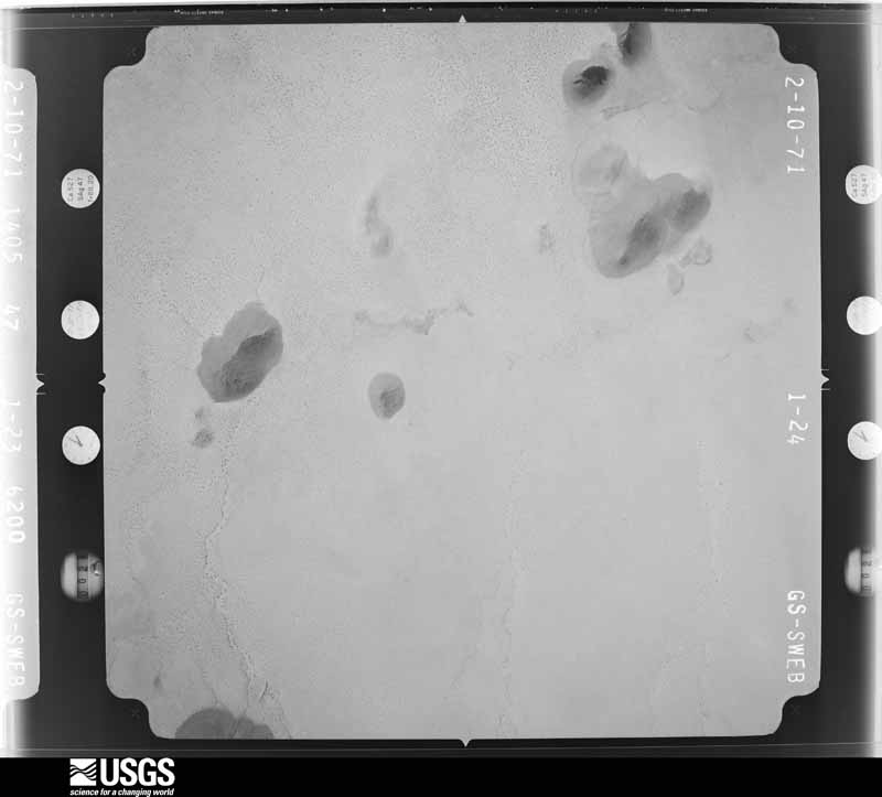
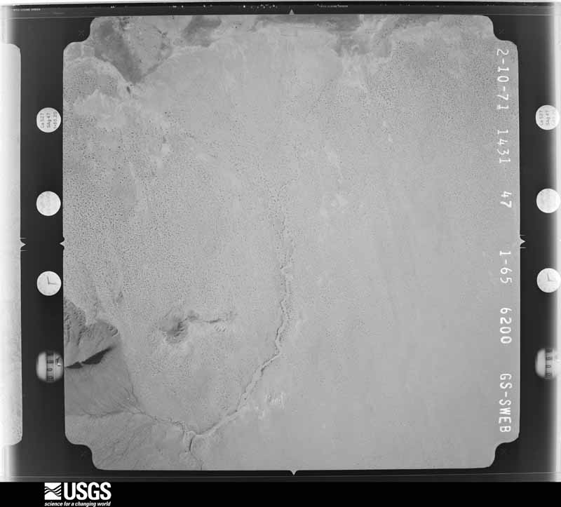
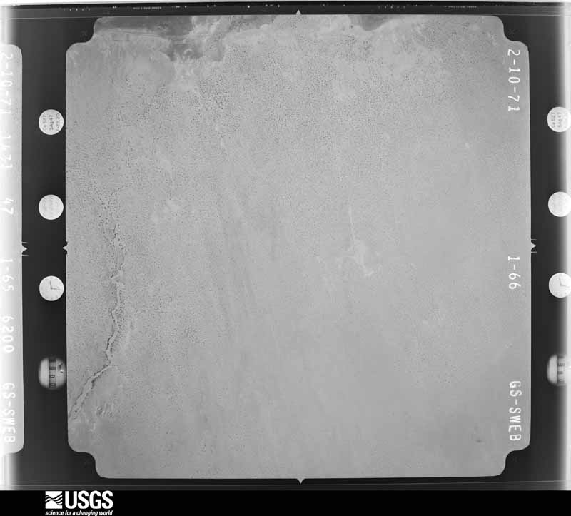
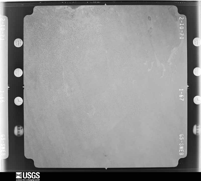
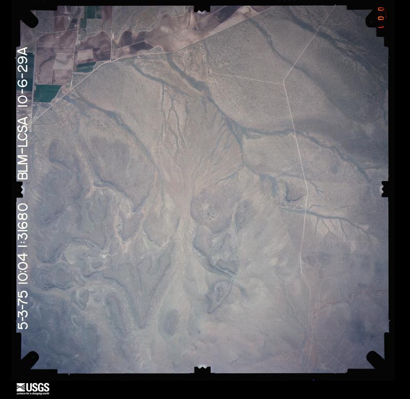
Flown by the U.S. Geological Survey between 1937 and 1989, the Aerial Photo Single Frames collection is the definitive mid-century view of the land: fields, roads and rivers as the camera saw them. The Survey holds 4,966 frames inside the rectangle that bounds this county; the 48 frames below were taken over the county itself, chosen across the decades of flights (at most four a year from that rectangle), so one flight cannot crowd out the rest. The full set is free to browse and download at EarthExplorer under the dataset Aerial Photo Single Frames.
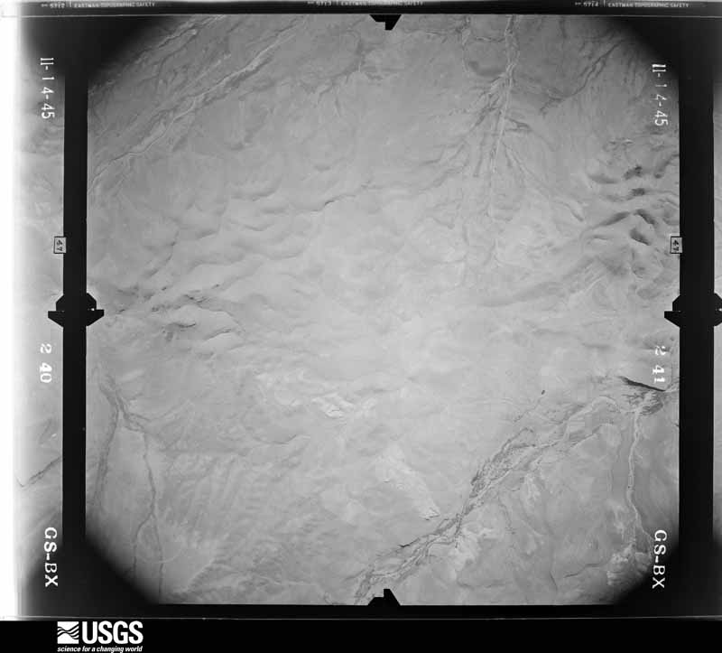
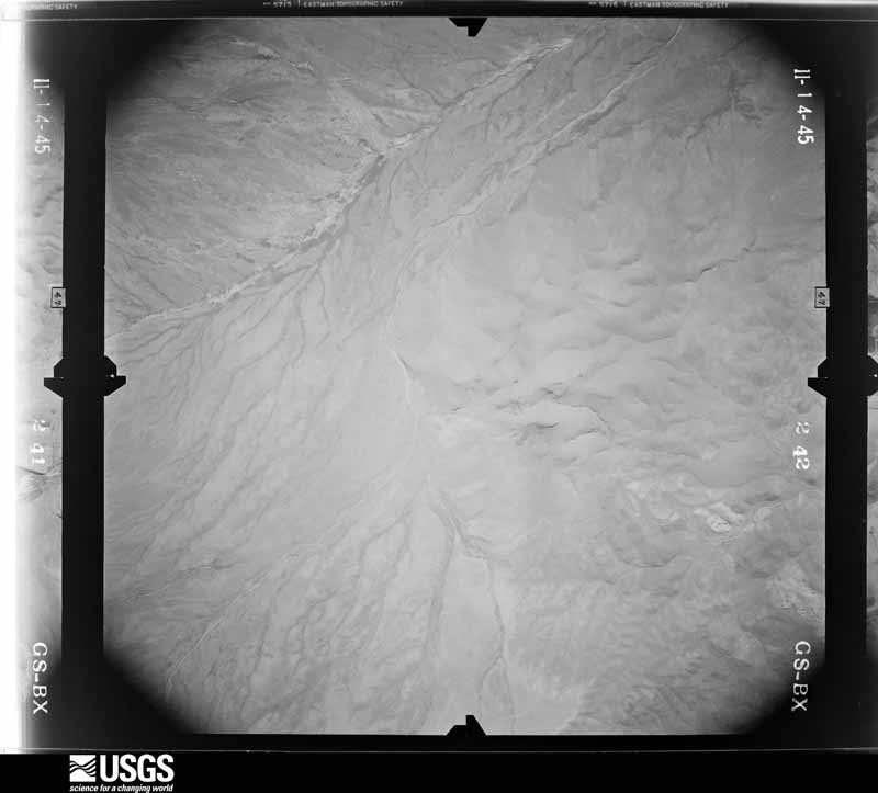
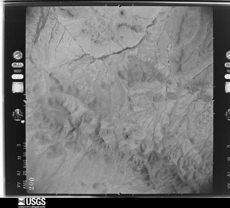
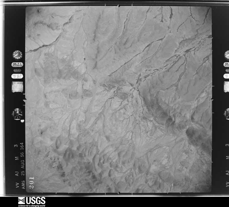
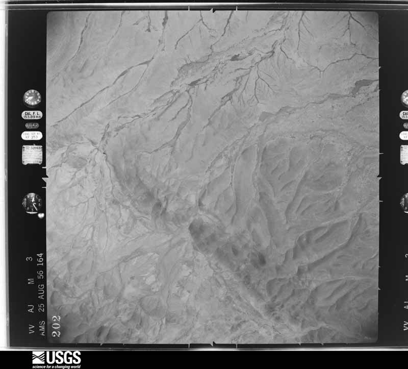
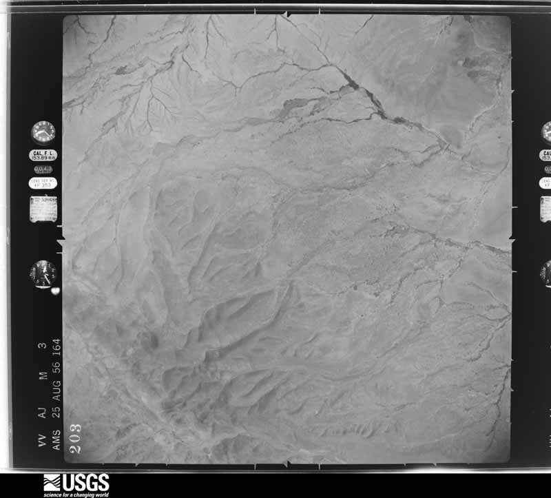
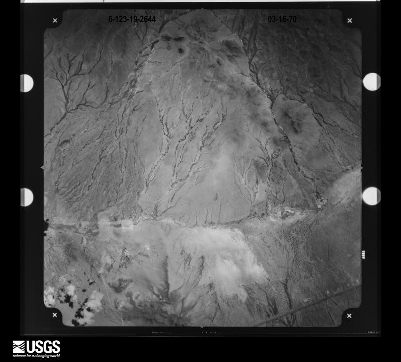
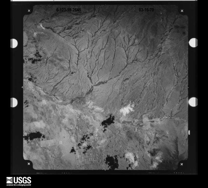
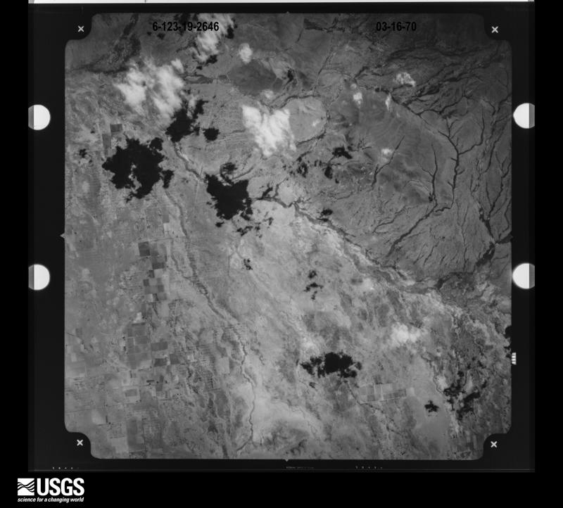
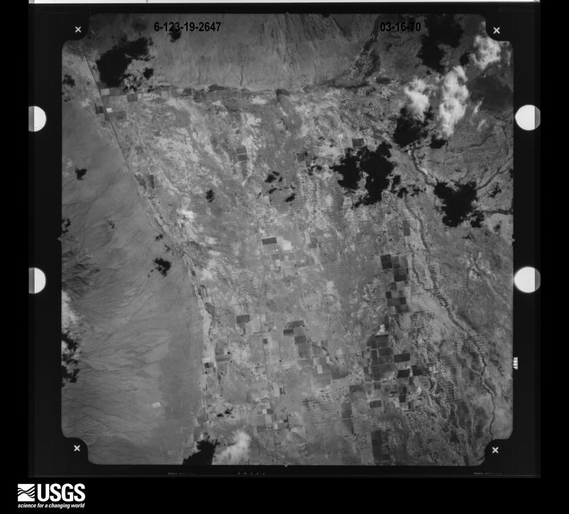
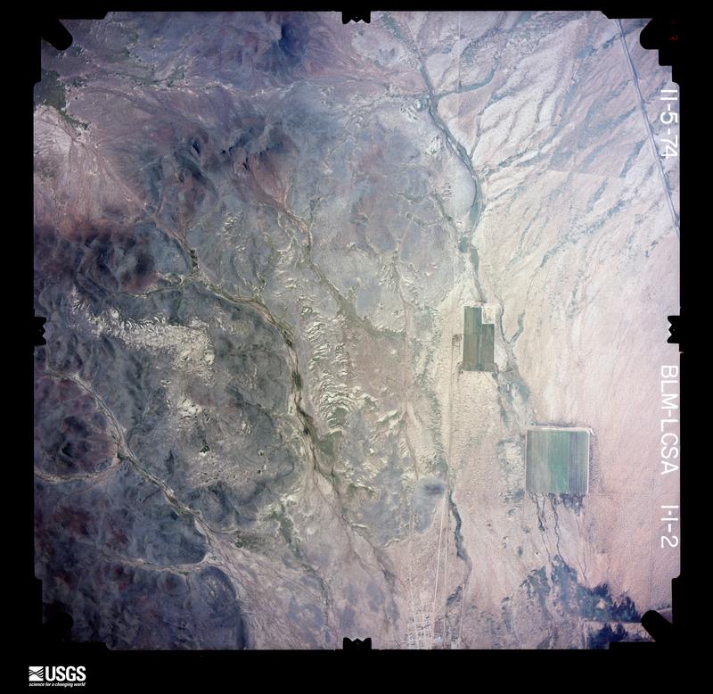
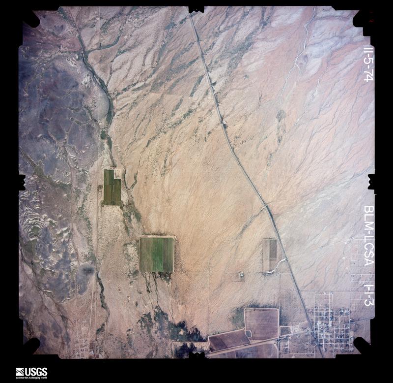
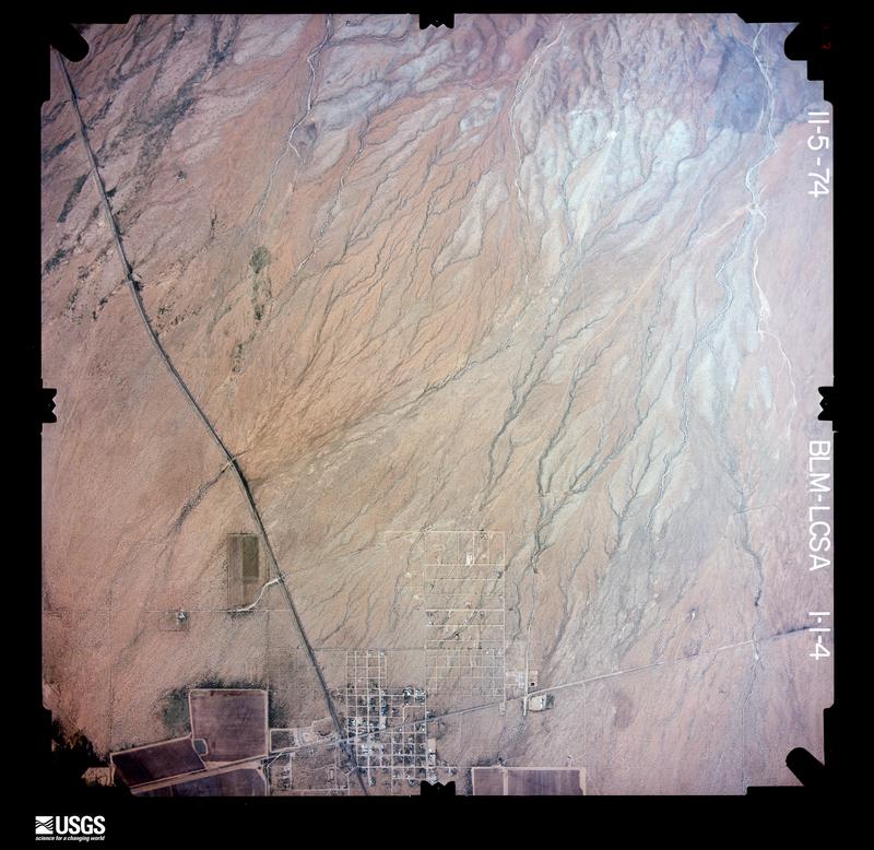
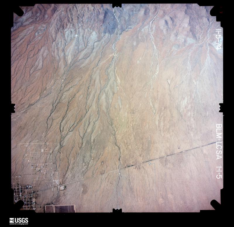
The thermometers that kept this county's weather, and the gages that measured the flow of its streams, as the federal records hold them. The extremes below are measured values from those records, not estimates.
Who lived here in 1950, one enumeration district at a time, as the Census Bureau described each district. Each row opens its official National Archives result, with Population Schedules and ED Maps available there.
Every wildfire the federal occurrence database records inside this county: 180 of them, burning about 17,979 acres. 54 started naturally and 8 were recorded as arson. Each settlement page carries the fires within five miles of it.
| Reported cause | Fires |
|---|---|
| Missing data/not specified/undetermined | 57 |
| Natural | 54 |
| Equipment and vehicle use | 25 |
| Debris and open burning | 15 |
| Smoking | 8 |
| Arson/incendiarism | 8 |
| Recreation and ceremony | 7 |
| Power generation/transmission/distribution | 3 |
| Misuse of fire by a minor | 1 |
| Fireworks | 1 |
| Railroad operations and maintenance | 1 |
The five largest, by the area the report gives. None of them was recorded as arson.
| Date | Cause | Size | Reported by | Name on the report |
|---|---|---|---|---|
| 10 July 1993 | Natural | 4,244 acres | Las Cruces Field Office | SHILOH |
| 9 August 1994 | Natural | 2,800 acres | Las Cruces Field Office | GOODSITE |
| 4 March 1994 | Natural | 1,500 acres | Las Cruces Field Office | REST AREA |
| 15 May 1994 | Natural | 1,455 acres | Las Cruces Field Office | BROWNFIELD |
| 19 April 2009 | Missing data/not specified/undetermined | 1,172 acres | Las Cruces Field Office | COOKES |
| 10 June 2009 | Natural | 1,120 acres | Las Cruces Field Office | TAYLOR MT |
| 26 April 2014 | Missing data/not specified/undetermined | 1,079 acres | Las Cruces Field Office | PROM |
| 23 May 2014 | Equipment and vehicle use | 587 acres | Las Cruces Field Office | GRADUATION |
Every settlement page carries the fires within five miles of it - see the settlement index below.
The NOAA Storm Events Database holds 123 reports for this county, causing no deaths, 1 injury and about $929,780 in recorded property damage. Each settlement page carries the reports that name it.
| Kind of event | Reports |
|---|---|
| Thunderstorm Wind | 48 |
| Flash Flood | 30 |
| Hail | 28 |
| Flood | 7 |
| Heavy Rain | 6 |
| Tornado | 4 |
The most serious of them, by death, then injury, then recorded damage. The accounts are quoted exactly as the forecast office filed them.
| When | Event | Place named | Harm | What the report says |
|---|---|---|---|---|
| October 1986 | Thunderstorm Wind | not stated | 1 hurt | no account filed |
| July 2008 | Flash Flood | Deming | $350,000 | About 3 inches of rain fell within an hour over already-saturated ground in the western portion of Deming. Major street flooding occurred, with most roads closed west of Highway 11. This same area was under 2 to 3 feet of water which entered homes and businesses. Power was out in the majority of the city as water logged power poles were easily knocked over by 45 mph wind gusts. |
| August 2005 | Flash Flood | Deming | $200,000 | At least 3 inches of rain in a short period of time caused widespread flash flooding in Deming. Numerous roads were closed, and some houses and businesses were flooded. Sandbags were put up by law enforcement. |
| July 2008 | Thunderstorm Wind | Deming | $50,000 | Scattered power and phone lines were down throughout Deming. |
| August 2006 | Flood | Countywide | $50,000 | no account filed |
| September 1997 | Thunderstorm Wind | Nutt | $40,000 | no account filed |
| August 2006 | Flash Flood | Northeast Portion | $30,000 | no account filed |
| August 2022 | Flash Flood | Deming | $25,000 | Flash flooding occurred through the mid to late evening hours. Multiple cars were stalled across Deming, underpasses were flooded and at least one house started taking in water. |
| July 2008 | Flash Flood | Spalding | $20,000 | Numerous roads were flooded throughout central Luna County according to the Luna County Road Department. |
| August 2001 | Flash Flood | Deming | $20,000 | A series of thunderstorms dropped nearly 4 inches of rain within 90 minutes on the south part of Deming, with 2 to 3 inches elsewhere in town. Highway 180 was closed due to a flooded underpass. Several vehicles were stalled in the significant street flooding that resulted. |
| August 2014 | Flash Flood | Columbus | $15,000 | Two homes along Highway 11 were evacuated due to inundation with at least one inaccessible overnight. Water crossed Highway 11 near mile marker 10 where one car got stuck. The first few arroyos along Highway 9 west of Columbus flooded due to runoff from heavy rain over the Tres Hermanas Mountains. Total rainfall just north of Columbus was 2.97 inches. |
| July 2015 | Thunderstorm Wind | (Dmn)Deming Arpt | $10,000 | Several trees were blown down and at least one roof blown off in southern portions of Deming. Power poles and lines also down which cutoff power to Columbus. |
| July 2013 | Thunderstorm Wind | Columbus | $10,000 | An NWS Employee driving through Columbus reported damage to several manufactured homes. Based on photos and wind damage it was determined to be a microburst with winds of up to 90 mph. |
| May 2007 | Thunderstorm Wind | Deming | $10,000 | Power poles and trees were blown down in Deming. |
| June 2007 | Hail | Tunis | $10,000 | Half dollar size hail was driven by strong thunderstorm winds and damaged roofs, screens and doors along the 2200 block of Route 418 southwest of Deming. |
| June 2008 | Thunderstorm Wind | Deming | $10,000 | no account filed |
| June 2008 | Thunderstorm Wind | (Dmn)Deming Arpt | $10,000 | no account filed |
| September 2006 | Hail | Akela | $10,000 | no account filed |
| August 2002 | Hail | Columbus | $10,000 | no account filed |
| September 2002 | Flash Flood | Columbus | $10,000 | no account filed |
| July 2009 | Thunderstorm Wind | Columbus | $7,000 | Thunderstorm winds blew down 9 power poles about 6 miles west of Columbus, NM along NM Highway 9. |
| August 2015 | Thunderstorm Wind | Faywood Station | $5,000 | A retractable roof became airborne and landed on the roof of a trailer and caused it to become punched-in. An anemometer near the damaged site recorded a peak wind of 65 mph. |
| July 2013 | Thunderstorm Wind | Columbus | $5,000 | Roof damage reported in Columbus. |
| June 2008 | Thunderstorm Wind | Deming | $5,000 | Winds estimated at 65 mph knocked out power, toppled two large trees and closed the interstate (due to low visibility from blowing dust) in and around Deming. |
| January 1993 | Thunderstorm Wind | Dmn | $5,000 | The Deming Flight Service Station reported a gust to 65 knots (75 mph) at noon at the airport. The winds blew over an empty 300 gallon fuel tank and blew out several windows at the airport. |
| July 2006 | Flash Flood | Deming | $5,000 | no account filed |
| July 2017 | Thunderstorm Wind | (Dmn)Deming Arpt | $3,000 | An amateur radio operator had his east facing windows blown out of his house, and in same area a tractor trailer was overturned on Highway 11. |
| June 2007 | Thunderstorm Wind | Deming | $2,000 | Three trees were blown down (one of them uprooted) and 2 power poles knocked over near Peru Mill at the northwest edge of Deming. Low level moisture had retreated further east resulting in a dry microburst from a high based thunderstorm. |
| July 2010 | Thunderstorm Wind | Columbus | $1,000 | Hangar at the Columbus Airport was damaged due to wind. |
| September 2007 | Hail | Akela | $1,000 | Quarter size hail shattered all landscaping lights at a residence near Akela Flats. |
| September 1995 | Thunderstorm Wind | Columbus | $500 | High winds overturned a mobile home in Columbus causing two minor injuries. Some tree and roof damage was also reported from this unusually intense storm that lasted about 30 minutes. |
| August 1971 | Tornado (F1) | not stated | $250 | no account filed |
| July 1975 | Tornado (F0) | not stated | $30 | no account filed |
| June 2025 | Thunderstorm Wind | (Dmn)Deming Arpt | - | The Deming Airport recorded a peak gust of 70 mph. |
| July 2025 | Flash Flood | Spalding | - | Over four inches of rain fell east of Highway 180 and flowed east, overtopping the highway between mileposts 150 and 152. Flooding caused erosion of the eastern half of the highway. |
| July 2025 | Flash Flood | Columbus | - | Law enforcement reported water up to 2 feet deep crossing in numerous areas on Highways 9 and 11 between Columbus and about 6 miles east of Columbus. A weather station at Pancho Villa State Park reported 1.49 inches of rain with the radar indicating heavier rains fell just south and east of this location. |
| July 2024 | Thunderstorm Wind | Akela | - | A peak gust of 60 mph was recorded at the Akela Union Pacific Mesonet site. |
| June 2024 | Thunderstorm Wind | (Dmn)Deming Arpt | - | The Deming ASOS recorded a peak gust of 60 mph. |
| June 2024 | Flash Flood | Columbus | - | Highway 9 was closed due to flooding between Mile Marker 11 and Mile 68 east of Columbus. Most flooding occurred in Luna County with the large road closure due to not wanting traffic from either direction to enter the flooded area. |
| October 2022 | Heavy Rain | Akela | - | Heavy rain fell across much of Luna county with the highest amount being 3.04 inches 8.6 miles southeast of Deming. Other reports included 2.89 inches 15.5 miles west-southwest of Deming and 2.21 inches 16 miles east-southeast of Deming. |
| August 2022 | Flash Flood | (Dmn)Deming Arpt | - | New Mexico Highway 11 was closed from mile marker 68 to 86 due to flooded low water crossings. |
| August 2021 | Flash Flood | Hermanas | - | NMDOT reported water flowing across Highway 9 about 19 miles west of Columbus. |
| September 2020 | Flood | Gage | - | Flooding resulted from earlier rainfall north of Interstate 10. I-10 was down to one lane due to water on the road near mile marker 68. Flooding also occurred along New Mexico 418 and some nearby backroads with some homes affected. |
| September 2020 | Flood | Deming | - | Up to four feet of water was on roadways near Overhill Drive, just north of Deming. Some cars were trapped due to the high water. |
| June 2020 | Thunderstorm Wind | (Dmn)Deming Arpt | - | A wind gust of 59 mph was reported at the Deming Airport. |
| October 2019 | Tornado (EFU) | Hermanas | - | A picture was submitted via social media from a weather spotter showing a brief tornado northeast of Hermanas. |
| June 2018 | Thunderstorm Wind | (Dmn)Deming Arpt | - | Near zero visibility was also reported around Deming due to blowing dust. |
| July 2018 | Flash Flood | Nutt | - | Highway 26 was closed from mile marker 26 to 27 due to flooding. Radar estimates in the area were 3.5 to 3.7 inches. |
| July 2017 | Thunderstorm Wind | Hermanas | - | The aerostat balloon site measured a 61 mph wind gust. |
| July 2015 | Hail | (Dmn)Deming Arpt | - | Traffic was stopped on Highway 11 south of Deming due to intense nickel size hail. |
| July 2015 | Flash Flood | Carne | - | Stirrup Road was closed east of Deming due to water flowing over the road. |
| October 2015 | Hail | (Dmn)Deming Arpt | - | Up to an inch accumulation of hail on County Road 549. |
| October 2015 | Hail | Mirage | - | Large accumulation of up to quarter size hail on Highway 26 about 9 miles northeast of Deming. |
| October 2015 | Hail | (Dmn)Deming Arpt | - | Dime to nickel size hail accumulated on Highway 11 south of Deming. |
| September 2014 | Heavy Rain | (Dmn)Deming Arpt | - | A CoCoRaHS Observer 4 miles southeast of Deming reported 4.98 inches of rain from the 16th through early on the 19th. Several city streets in Deming had minor flooding with 2 to 3 inches of water on the roadway. Roads were still passable. |
| September 2014 | Heavy Rain | Columbus | - | A CoCoRaHS Observer reported 4.62 inches of rainfall from the 16th through early on the 19th. |
| September 2014 | Flash Flood | (Dmn)Deming Arpt | - | The media reported via Facebook that a car was washed off the road near Rock Hound State Park which included a water rescue. No injuries were associated with the flood. |
| July 2013 | Thunderstorm Wind | Deming | - | An amateur radio operator in Deming estimated wind gusts to 65 mph. |
| July 2013 | Flash Flood | (Dmn)Deming Arpt | - | Road to Rockhound State Park flooded 3 feet deep, impassable. |
| July 2012 | Heavy Rain | Deming | - | A weather spotter reported .70 inches of heavy rainfall in 15 minutes near Deming, NM. Minor street flooding was reported in the city of Deming during this time period. |
The Survey's mineral resources record lists 344 workings inside this county. 13 still produce and 331 are closed or unrecorded. Each settlement page carries the workings within five miles of it.
| Commodity | Workings |
|---|---|
| Sand and Gravel, Construction | 149 |
| Manganese | 38 |
| Fluorine-Fluorite | 34 |
| Lead, Silver | 21 |
| Lead | 18 |
| Copper | 18 |
| Silver | 13 |
| Zinc | 11 |
| Lead, Zinc | 10 |
| Zinc, Lead | 8 |
| Gold | 7 |
| Gemstone | 7 |
| Lead, Silver, Zinc | 7 |
| Tungsten | 4 |
The least common of them first, because a county's hundredth gravel pit says nothing its first ten did not.
| Where | Site | Commodity | Status | Recorded |
|---|---|---|---|---|
| Bell Ranch Quarry | Fire Clay (Refractory), Stone, Dimension | Past Producer | ||
| Burke Mine | Lead, Silver, Gold, Zinc, Copper | Past Producer | 1895, 1950 | |
| Carne Well | Geothermal | Unknown | ||
| Chance Mine | Lead, Silver, Gold, Copper, Zinc | Past Producer | 1880, 1948 | |
| Chance and Jessie Mines | Lead, Gold, Silver | Past Producer | ||
| Cincinnati | Gold, Lead | Past Producer | ||
| Cincinnati Mine | Lead, Silver, Gold, Zinc | Past Producer | 1900, 1925 | |
| Copper Ridge Mine | Zinc, Silver | Unknown | ||
| Desdemona Group | Lead, Zinc, Silver, Copper, Gold | Past Producer | 1877, 1885, 1952 | |
| Faywood Mine | Silver, Lead, Zinc | Past Producer | 1904, 1937 | |
| Hancock Mine | Silver, Gold, Lead | Past Producer | 1950 | |
| International | Lead, Silver, Gold, Zinc, Copper | Past Producer | ||
| International Mine | Lead, Silver, Copper, Gold, Zinc | Past Producer | 1880, 1885, 1947 | |
| Jessie Mine | Gold, Lead, Silver | Past Producer | ||
| Little Florida Mountains | Kaolin | Past Producer | Residual | |
| Lucky John | Copper, Lead, Zinc | Past Producer | ||
| Lucky John Mine | Zinc, Lead, Silver, Copper | Past Producer | 1916, 1927 | |
| Lucretia Clay Pit | Clay | Producer | Clay | |
| Mahoney Mines | Zinc, Lead, Silver, Copper | Past Producer | 1885, 1951 | |
| Manganese Valley Mine | Manganese, Cobalt | Past Producer | 1918, 1957 | |
| Marie | Zinc, Lead, Silver, Gold | Past Producer | ||
| Name Unknown | Lead, Silver, Gold, Copper | Occurrence | Vein | |
| Name Unknown | Lead, Copper | Occurrence | Vein | |
| Name Unknown Scoria Deposit | Volcanic Materials | Occurrence | Scoria | |
| Ogre-Bogle | Tungsten, Lead, Zinc, Beryllium | Occurrence | Galena, Helvite, Scheelite, Sphalerite | |
| Rattlesnake Canyon | Aluminum | Occurrence | Alunite | |
| Sadler Fluorspar Mine | Fluorine-Fluorite, Quartz | Past Producer | 1909, 1947 | |
| San Juan Mine | Fluorine-Fluorite, Barium-Barite | Occurrence | Barite, Fluorite | |
| Tip Top Prospect | Fluorine-Fluorite, Silica | Occurrence | ||
| Tres Hermanas Travertine Deposit | Limestone, General | Occurrence | Vein | |
| Tungsten Hill Prospect | Lead, Zinc, Tungsten, Beryllium | Past Producer | 1950 | |
| Unknown Name Fire-Clay | Fire Clay (Refractory) | Producer | Sedimentary | |
| Unnamed Perlite Prospect | Perlite | Occurrence | ||
| Victorio District | Gold, Silver, Lead, Tungsten, Arsenic | Producer | 1880 | |
| Waddell Atir Prospect 1978 | Lead, Barium-Barite, Fluorine-Fluorite | Occurrence | 1915 | |
| Waddell Prospect | Zinc, Lead, Fluorine-Fluorite, Calcium, Barium-Barite | Occurrence | ||
| Cooks Range Hematite | Iron | Unknown | ||
| Georgia Bell Mine | Silver, Copper | Occurrence | Galena, Malachite, Pyrite | |
| Graphic | Lead, Silver, Copper, Gold | Past Producer | ||
| Inez Mine | Lead, Silver, Zinc, Copper, Gold | Past Producer | 1904, 1927 | |
| Irish Rose Mine | Tungsten, Beryllium | Past Producer | 1905, 1945 | |
| Lead King | Silver, Lead | Past Producer | ||
| Rover Group | Silver, Lead, Gold | Past Producer | ||
| Silver Cave #1 | Silver, Lead | Past Producer | ||
| Summit Group | Zinc, Lead, Silver, Copper | Past Producer | 1885, 1949 | |
| Tedford Prospect | Tungsten, Beryllium, Zinc, Lead | Past Producer | ||
| Victorio Group | Silver, Lead, Gold | Producer | ||
| Wildcat | Iron | Prospect | ||
| Greenleaf 2,3,4,5 | Copper, Silver, Lead | Prospect | ||
| Hadley | Copper, Silver, Lead | Prospect | ||
| Materials Pit 62-13-S | Stone, Crushed/Broken | Past Producer | ||
| Materials Pit 63-19-Sc | Stone, Crushed/Broken | Past Producer | ||
| Materials Pit 72-15-S | Stone, Crushed/Broken | Past Producer | ||
| Stenson Mine | Copper, Silver | Past Producer | 1900, 1956 | |
| Goat Ridge Travertine Deposit | Stone | Occurrence | Calcite | |
| Materials Pit | Stone | Unknown | ||
| Materials Pit | Stone | Unknown | ||
| Name Unknown | Tungsten | Occurrence | Contact Metamorphic | |
| South Sister Peak Spurrite Deposit | Stone | Occurrence | 1928 | |
| Baker Egg No. 1 Placer | Gemstone | Producer | Agate | |
| Big Diggins 1 and 2 Mine | Gemstone | Producer | Agate, Quartz | |
| Big Diggins 3 Mine | Gemstone | Producer | Agate, Quartz | |
| Big Diggins Mine | Gemstone | Producer | Agate, Quartz | |
| Bradley | Lead, Silver, Zinc, Copper | Prospect | ||
| Burdick | Gold | Prospect | ||
| Burdick Claim | Gold | Occurrence | Gold, Limonite, Pyrite | |
| Burdick Hills | Gemstone | Producer | Vein | |
| Burke Mine | Lead, Gold | Past Producer | ||
| Eighty-Five Group | Lead, Silver, Zinc | Past Producer | ||
| Excess Claim | Lead, Silver, Gold, Zinc | Past Producer | 1887, 1922 | |
| Faywood | Lead, Silver, Zinc | Past Producer | ||
| Hancock | Lead, Gold | Past Producer | ||
| Hermanas Thunder Egg Deposit | Gemstone | Occurrence | Chalcedony, Quartz | |
| Lindberg | Gemstone | Prospect | ||
| Mahoney Mining Area | Lead, Silver, Zinc, Copper | Past Producer | ||
| Poe Group | Lead, Silver, Zinc | Past Producer | ||
| Rambler Claim | Lead, Silver, Gold | Past Producer | 1904, 1924 | |
| Silver Cave #2 | Lead, Silver, Zinc | Past Producer | ||
| Contention Group | Zinc, Lead, Silver, Copper | Past Producer | ||
| Parole Mine | Zinc, Lead | Past Producer | ||
| Section 35 Prospect | Zinc, Lead | Occurrence | Galena, Sphalerite | |
| Summit Group | Zinc, Lead, Silver | Past Producer | ||
| The Park Prospect | Zinc, Lead | Occurrence | Smithsonite | |
| Desdemona | Lead, Zinc, Silver, Copper | Past Producer | ||
| Excess Mine | Lead, Zinc | Past Producer | ||
| Helen | Lead, Zinc | Past Producer | ||
| Inez | Lead, Zinc, Silver, Copper | Past Producer | ||
| Lindy Ann Claims | Lead, Zinc | Prospect | ||
| Raithel | Lead, Zinc, Silver | Past Producer | ||
| Rambler Mine | Lead, Zinc | Past Producer | ||
| San Antonio | Lead, Zinc | Prospect | ||
| Section 35 Prospect | Lead, Zinc | Prospect | ||
| Birchfield Zinc Prospect | Zinc | Past Producer | ||
| Birchfield Zinc Prospect | Zinc | Unknown | ||
| Bradley Mine | Lead, Silver, Copper, Zinc | Past Producer | 1900, 1903, 1930 | |
| Graphic Mine | Lead, Silver, Copper, Zinc | Past Producer | 1881, 1942 | |
| Lindy Ann Mine | Lead, Silver, Zinc | Past Producer | 1956 | |
| Park | Zinc, Lead | Prospect | ||
| San Antonio Mine | Lead, Silver, Zinc | Past Producer | 1900, 1947 | |
| Silver Cave Mine | Lead, Silver, Zinc | Past Producer | 1880, 1881, 1885 | |
| Big Lead-Silver | Lead, Silver | Past Producer | ||
| Busted Banker | Lead, Silver, Copper | Past Producer | ||
| Clara K | Lead, Silver | Past Producer | ||
| Gladys | Lead, Silver | Past Producer | ||
| Hope, Faith, & Constant | Lead, Silver | Past Producer | ||
| Little Mary | Lead, Silver | Prospect | ||
| Sycamore Burrell & Florida 1 & 2 | Lead, Silver, Copper | Past Producer | ||
| West Side | Lead, Silver | Past Producer | ||
| Calumet Mine | Copper | Prospect | Vein | |
| Canon Mine | Copper | Prospect | ||
| Copper Ridge Mill | Copper | Unknown | ||
| Edna Belle | Lead | Occurrence | ||
| Johnson Ranchhouse Sec 28 Prospect | Copper | Occurrence | ||
| Johnson Ranchhouse Sec 33 Prospect | Copper | Occurrence | ||
| Klondike Hills | Copper | Occurrence | ||
| Lucky | Lead | Prospect | ||
| North Sister Peak Prospect | Lead | Occurrence | Galena, Magnetite | |
| Shaw Prospect | Copper | Prospect | ||
| Stenson | Copper | Prospect | ||
| Black Hawk Mine | Lead, Silver, Manganese | Past Producer | 1950, 1957 | |
| Jumbo | Lead, Silver | Prospect | ||
| Marie Mine | Lead, Silver | Past Producer | Anglesite, Galena | |
| Mickey | Lead, Silver | Past Producer | ||
| Old Commodore | Lead, Silver | Past Producer | ||
| Parole Mine | Lead, Silver | Past Producer | 1885 | |
| Virginia Claim | Lead, Silver | Past Producer | 1885 | |
| White Oaks | Lead, Silver | Past Producer | ||
| Anniversary Mine | Fluorine-Fluorite | Past Producer | ||
| Anniversary Prospect | Fluorine-Fluorite | Occurrence | 1970 | |
| Apache Deposit | Fluorine-Fluorite | Past Producer | ||
| Apache Prospect | Fluorine-Fluorite | Past Producer | 1942, 1951, 1953 | |
| Florida Fluorspar Mine | Fluorine-Fluorite | Past Producer | 1918, 1919, 1951 | |
| Florida Mine | Fluorine-Fluorite | Past Producer | 1919 | |
| Goat Ridge | Fluorine-Fluorite | Occurrence | ||
| Goat Ridge Fluorspar Prospect | Fluorine-Fluorite | Prospect | Fluorite | |
| Grattan Mine | Fluorine-Fluorite | Past Producer | 1909, 1934 | |
| Gratton Fluorspar Mine | Fluorine-Fluorite | Past Producer | 1909, 1934, 1951 | |
| Green Spar Mine | Fluorine-Fluorite | Past Producer | 1924, 1945 | |
| Green Spar Mine | Fluorine-Fluorite | Past Producer | 1924 | |
| Greenleaf Fluorspar Mine | Fluorine-Fluorite | Past Producer | 1938, 1939, 1954 | |
| Greenleaf Mine | Fluorine-Fluorite | Prospect | ||
| Greenspar Mine 1966 | Fluorine-Fluorite | Past Producer | 1924, 1947 | |
| Hilltop Prospect | Fluorine-Fluorite | Past Producer | ||
| Hilltop Prospect 1966 | Fluorine-Fluorite | Occurrence | 1949 | |
| Lookout Deposit | Fluorine-Fluorite | Occurrence | 1938, 1944, 1949 | |
| Lookout Deposit | Fluorine-Fluorite | Past Producer | ||
| Lucky Mine | Fluorine-Fluorite | Past Producer | 1943, 1953 | |
| Lucky Mine | Fluorine-Fluorite | Prospect | ||
| Sadler Mine | Fluorine-Fluorite | Past Producer | 1909, 1910 | |
| San Juan Mine | Fluorine-Fluorite | Past Producer | 1909, 1948 | |
| Section 27 Prospect | Fluorine-Fluorite | Past Producer | Fluorite | |
| Section 27 Prospect | Fluorine-Fluorite | Past Producer | ||
| Tip Top Prospect | Fluorine-Fluorite | Occurrence | 1943 | |
| Valley Mine | Fluorine-Fluorite | Past Producer | 1942, 1949, 1950 | |
| Valley Mine | Fluorine-Fluorite | Past Producer | 1940, 1950 | |
| White Bluff | Fluorine-Fluorite | Occurrence | ||
| White Bluff Prospect | Fluorine-Fluorite | Occurrence | Fluorite | |
| Whitehill Prospect | Fluorine-Fluorite | Occurrence | Fluorite | |
| Whitehill Prospect | Fluorine-Fluorite | Past Producer | ||
| American No 15ferro Mn.No.1 | Manganese | Past Producer | 1953 | |
| American No. 11 Claim | Manganese | Past Producer | 1925 | |
| American No. 29 Claim | Manganese | Occurrence | Vein | |
| American No.11-Ferro Mn.No. 2 | Manganese | Past Producer | 1953 | |
| American No.29 | Manganese | Past Producer | 1952 | |
| Big Pocket | Manganese | Past Producer | Vein | |
| Big Pocket-Florida Mts. Area | Manganese | Past Producer | 1954 | |
| Birchfield Grp-Florida Mts. Area | Manganese | Past Producer | 1952 | |
| Birchfield Manganese Mine | Manganese | Past Producer | 1905, 1942, 1958 | |
| Black Hawk | Manganese | Past Producer | 1954 | |
| Black Hawk | Manganese | Past Producer | 1953 | |
| Doubtful Group | Manganese | Past Producer | 1915 | |
| Doubtful Groupnos.1 and 2 | Manganese | Past Producer | 1953 | |
| Estrella | Manganese | Past Producer | 1925 | |
| Estrellaamerican No.23 | Manganese | Past Producer | 1953 | |
| Frederick Group | Manganese | Occurrence | Vein | |
| Frederick-Little Florida Mt.Area | Manganese | Past Producer | 1953 | |
| Iron Clad Group | Manganese | Past Producer | 1952 | |
| Ironclad Group | Manganese | Past Producer | 1952 | |
| Killion Vein Claims | Manganese | Past Producer | 1925 | |
| Killion Vein-Little Fla.Mt.Area | Manganese | Past Producer | 1944 | |
| Lucky Bullet | Manganese | Past Producer | 1953 | |
| Lucky Bullet Mine | Manganese | Past Producer | 1953 | |
| Luna Mine | Manganese | Past Producer | 1922, 1928, 1955 | |
| Luna Mine-Little Florida Mt.Area | Manganese | Past Producer | 1951 | |
| Manganese Valley Mine | Manganese | Past Producer | 1952 | |
| Manganese Valley Mine No.13 | Manganese | Past Producer | 1952 | |
| Muller-Little Florida Mt. Area | Manganese | Past Producer | 1955 | |
| Ruth Manganese Claims | Manganese | Past Producer | Vein | |
| South Side | Manganese | Past Producer | 1952 | |
| Starkey | Manganese | Past Producer | 1952 | |
| Starkey Manganese Mine | Manganese | Past Producer | 1918, 1959 | |
| Wet King Manganese Mine | Manganese | Past Producer | 1912, 1914, 1955 | |
| Wet King Mine | Manganese | Past Producer | ||
| White King | Manganese | Unknown | ||
| White King Mine | Manganese | Past Producer | 1905 | |
| Baker Pit | Sand and Gravel, Construction | Producer | Gravel | |
| Materials Pit | Sand and Gravel, Construction | Unknown | ||
| Materials Pit | Sand and Gravel, Construction | Unknown | ||
| Materials Pit | Sand and Gravel, Construction | Unknown | ||
| Materials Pit | Sand and Gravel, Construction | Unknown | ||
| Materials Pit | Sand and Gravel, Construction | Unknown | ||
| Materials Pit | Sand and Gravel, Construction | Unknown | ||
| Materials Pit | Sand and Gravel, Construction | Unknown | ||
| Materials Pit | Sand and Gravel, Construction | Unknown | ||
| Materials Pit | Sand and Gravel, Construction | Unknown | ||
| Materials Pit | Sand and Gravel, Construction | Unknown | ||
| Materials Pit | Sand and Gravel, Construction | Unknown | ||
| Materials Pit | Sand and Gravel, Construction | Unknown | ||
| Materials Pit | Sand and Gravel, Construction | Unknown | ||
| Materials Pit | Sand and Gravel, Construction | Unknown | ||
| Materials Pit | Sand and Gravel, Construction | Unknown | ||
| Materials Pit | Sand and Gravel, Construction | Unknown | ||
| Materials Pit | Sand and Gravel, Construction | Unknown | ||
| Materials Pit | Sand and Gravel, Construction | Unknown | ||
| Materials Pit | Sand and Gravel, Construction | Unknown | ||
| Materials Pit | Sand and Gravel, Construction | Unknown | ||
| Materials Pit | Sand and Gravel, Construction | Unknown | ||
| Materials Pit | Sand and Gravel, Construction | Unknown | ||
| Materials Pit | Sand and Gravel, Construction | Unknown | ||
| Materials Pit | Sand and Gravel, Construction | Unknown | ||
| Materials Pit | Sand and Gravel, Construction | Unknown | ||
| Materials Pit | Sand and Gravel, Construction | Unknown | ||
| Materials Pit | Sand and Gravel, Construction | Unknown | ||
| Materials Pit | Sand and Gravel, Construction | Unknown | ||
| Materials Pit | Sand and Gravel, Construction | Unknown | ||
| Materials Pit | Sand and Gravel, Construction | Unknown | ||
| Materials Pit | Sand and Gravel, Construction | Unknown | ||
| Materials Pit | Sand and Gravel, Construction | Unknown | ||
| Materials Pit | Sand and Gravel, Construction | Unknown | ||
| Materials Pit | Sand and Gravel, Construction | Unknown | ||
| Materials Pit | Sand and Gravel, Construction | Unknown | ||
| Materials Pit | Sand and Gravel, Construction | Unknown | ||
| Materials Pit | Sand and Gravel, Construction | Unknown | ||
| Materials Pit | Sand and Gravel, Construction | Unknown | ||
| Materials Pit | Sand and Gravel, Construction | Unknown | ||
| Materials Pit | Sand and Gravel, Construction | Unknown | ||
| Materials Pit | Sand and Gravel, Construction | Unknown | ||
| Materials Pit | Sand and Gravel, Construction | Unknown | ||
| Materials Pit | Sand and Gravel, Construction | Unknown | ||
| Materials Pit | Sand and Gravel, Construction | Unknown | ||
| Materials Pit | Sand and Gravel, Construction | Unknown | ||
| Materials Pit | Sand and Gravel, Construction | Unknown | ||
| Materials Pit | Sand and Gravel, Construction | Unknown | ||
| Materials Pit | Sand and Gravel, Construction | Unknown | ||
| Materials Pit | Sand and Gravel, Construction | Unknown | ||
| Materials Pit | Sand and Gravel, Construction | Unknown | ||
| Materials Pit | Sand and Gravel, Construction | Unknown | ||
| Materials Pit | Sand and Gravel, Construction | Unknown | ||
| Materials Pit | Sand and Gravel, Construction | Unknown | ||
| Materials Pit | Sand and Gravel, Construction | Unknown | ||
| Materials Pit | Sand and Gravel, Construction | Unknown | ||
| Materials Pit | Sand and Gravel, Construction | Unknown | ||
| Materials Pit | Sand and Gravel, Construction | Unknown | ||
| Materials Pit | Sand and Gravel, Construction | Unknown | ||
| Materials Pit | Sand and Gravel, Construction | Unknown | ||
| Materials Pit | Sand and Gravel, Construction | Unknown | ||
| Materials Pit | Sand and Gravel, Construction | Unknown | ||
| Materials Pit | Sand and Gravel, Construction | Unknown | ||
| Materials Pit | Sand and Gravel, Construction | Unknown | ||
| Materials Pit | Sand and Gravel, Construction | Unknown | ||
| Materials Pit | Sand and Gravel, Construction | Unknown | ||
| Materials Pit | Sand and Gravel, Construction | Unknown | ||
| Materials Pit | Sand and Gravel, Construction | Unknown | ||
| Materials Pit | Sand and Gravel, Construction | Unknown | ||
| Materials Pit | Sand and Gravel, Construction | Unknown | ||
| Materials Pit | Sand and Gravel, Construction | Unknown | ||
| Materials Pit | Sand and Gravel, Construction | Unknown | ||
| Materials Pit | Sand and Gravel, Construction | Unknown | ||
| Materials Pit | Sand and Gravel, Construction | Unknown | ||
| Materials Pit | Sand and Gravel, Construction | Unknown | ||
| Materials Pit | Sand and Gravel, Construction | Unknown | ||
| Materials Pit | Sand and Gravel, Construction | Unknown | ||
| Materials Pit | Sand and Gravel, Construction | Unknown | ||
| Materials Pit | Sand and Gravel, Construction | Unknown | ||
| Materials Pit | Sand and Gravel, Construction | Unknown | ||
| Materials Pit | Sand and Gravel, Construction | Unknown | ||
| Materials Pit | Sand and Gravel, Construction | Unknown | ||
| Materials Pit | Sand and Gravel, Construction | Unknown | ||
| Materials Pit | Sand and Gravel, Construction | Unknown | ||
| Materials Pit | Sand and Gravel, Construction | Unknown | ||
| Materials Pit | Sand and Gravel, Construction | Unknown | ||
| Materials Pit | Sand and Gravel, Construction | Unknown | ||
| Materials Pit | Sand and Gravel, Construction | Unknown | ||
| Materials Pit | Sand and Gravel, Construction | Unknown | ||
| Materials Pit | Sand and Gravel, Construction | Unknown | ||
| Materials Pit | Sand and Gravel, Construction | Unknown | ||
| Materials Pit | Sand and Gravel, Construction | Unknown | ||
| Materials Pit | Sand and Gravel, Construction | Unknown | ||
| Materials Pit | Sand and Gravel, Construction | Unknown | ||
| Materials Pit | Sand and Gravel, Construction | Unknown | ||
| Materials Pit | Sand and Gravel, Construction | Unknown | ||
| Materials Pit | Sand and Gravel, Construction | Unknown | ||
| Materials Pit | Sand and Gravel, Construction | Unknown | ||
| Materials Pit | Sand and Gravel, Construction | Unknown | ||
| Materials Pit | Sand and Gravel, Construction | Unknown | ||
| Materials Pit | Sand and Gravel, Construction | Unknown | ||
| Materials Pit | Sand and Gravel, Construction | Unknown | ||
| Materials Pit | Sand and Gravel, Construction | Unknown | ||
| Materials Pit | Sand and Gravel, Construction | Unknown | ||
| Materials Pit | Sand and Gravel, Construction | Unknown | ||
| Materials Pit | Sand and Gravel, Construction | Unknown | ||
| Materials Pit | Sand and Gravel, Construction | Unknown | ||
| Materials Pit | Sand and Gravel, Construction | Unknown | ||
| Materials Pit | Sand and Gravel, Construction | Unknown | ||
| Materials Pit | Sand and Gravel, Construction | Unknown | ||
| Materials Pit | Sand and Gravel, Construction | Unknown | ||
| Materials Pit | Sand and Gravel, Construction | Unknown | ||
| Materials Pit | Sand and Gravel, Construction | Unknown | ||
| Materials Pit | Sand and Gravel, Construction | Unknown | ||
| Materials Pit 56-34-S | Sand and Gravel, Construction | Past Producer | ||
| Materials Pit 56-53-S | Sand and Gravel, Construction | Past Producer | ||
| Materials Pit 57-102-S | Sand and Gravel, Construction | Past Producer | ||
| Materials Pit 57-36-S | Sand and Gravel, Construction | Past Producer | ||
| Materials Pit 58-117-S | Sand and Gravel, Construction | Past Producer | ||
| Materials Pit 58-120-S | Sand and Gravel, Construction | Past Producer | ||
| Materials Pit 58-51-S | Sand and Gravel, Construction | Past Producer | ||
| Materials Pit 58-52-S | Sand and Gravel, Construction | Past Producer | ||
| Materials Pit 58-53-S | Sand and Gravel, Construction | Past Producer | ||
| Materials Pit 62-11-S | Sand and Gravel, Construction | Past Producer | ||
| Materials Pit 62-17-F | Sand and Gravel, Construction | Past Producer | ||
| Materials Pit 63-25-S | Sand and Gravel, Construction | Past Producer | ||
| Materials Pit 64-70-S | Sand and Gravel, Construction | Past Producer | ||
| Materials Pit 65-2-S | Sand and Gravel, Construction | Past Producer | ||
| Materials Pit 65-8-S | Sand and Gravel, Construction | Past Producer | ||
| Materials Pit 66-51-S | Sand and Gravel, Construction | Past Producer | ||
| Materials Pit 68-16-S | Sand and Gravel, Construction | Past Producer | ||
| Materials Pit 68-17-S | Sand and Gravel, Construction | Past Producer | ||
| Materials Pit 78-42-S | Sand and Gravel, Construction | Past Producer | ||
| Miller Pit | Sand and Gravel, Construction | Past Producer | Sedimentary | |
| Mimbres Pit | Sand and Gravel, Construction | Producer | Sedimentary | |
| O'Kelley Sand and Gravel Pit | Sand and Gravel, Construction | Producer | Gravel | |
| Unnamed Gravel Pit | Sand and Gravel, Construction | Occurrence | Gravel | |
| Unnamed Gravel Pit | Sand and Gravel, Construction | Past Producer | Gravel | |
| Unnamed Gravel Prospect | Sand and Gravel, Construction | Occurrence | Gravel | |
| Unnamed Gravel Prospect | Sand and Gravel, Construction | Occurrence | Gravel | |
| Unnamed Gravel Prospect | Sand and Gravel, Construction | Occurrence | Gravel | |
| Unnamed Gravel Prospect | Sand and Gravel, Construction | Occurrence | Gravel | |
| Unnamed Sand and Gravel Pit | Sand and Gravel, Construction | Producer | Sand and Gravel | |
| Unnamed Sand and Gravel Prospect | Sand and Gravel, Construction | Occurrence | Gravel | |
| Unnamed Sand and Gravel Prospect | Sand and Gravel, Construction | Occurrence | Sand and Gravel | |
| Unnamed Sand and Gravel Prospect | Sand and Gravel, Construction | Occurrence | Gravel | |
| Unnamed Sand and Gravel Prospect | Sand and Gravel, Construction | Occurrence | Sand and Gravel | |
| Unnamed Sand and Gravel Prospect | Sand and Gravel, Construction | Occurrence | Sand and Gravel | |
| Unnamed Sand and Gravel Prospect Pit | Sand and Gravel, Construction | Occurrence | Gravel |
Named settlements recorded in the Geographic Names Information System, each with the topographic sheets covering it. Villages, hamlets and abandoned places alike. Each is shown with the nearest named watercourse or landform and the survey quadrangle it falls on. The 2 places that were also surveyed for fire insurance come first, with the number of atlases and photographs held for them.
Deming South census division · 88029 · Columbus quadrangle
17 sheets, 1917 to 1996
Fire insurance: 2 atlases
Deming South census division · 88030 · Deming West quadrangle
14 sheets, 1899 to 1996
Fire insurance: 10 atlases
Deming North census division · 88030 · On Akela Flats · Akela quadrangle
7 sheets, 1955 to 1982
Deming South census division · 88029 · Columbus quadrangle
17 sheets, 1917 to 1996
No longer a settlement
Deming South census division · 88030 · Gage SW quadrangle
9 sheets, 1954 to 1981
No longer a settlement
Deming North census division · 88030 · Near Cookes Canyon · Florida quadrangle
13 sheets, 1899 to 1982
Deming South census division · 88030 · Near Baker Draw · Hermanas quadrangle
10 sheets, 1917 to 1981
Deming South census division · 88030 · Bowlin Ranch quadrangle
14 sheets, 1899 to 1996
Deming North census division · 88030 · Near Taylor Mountain · Taylor Mountain quadrangle
8 sheets, 1955 to 1985
The vanished settlements of Luna County: the places named above that are no longer on the map.
14 topographic sheets and 10 fire insurance atlases, 1886 to 1942
The complete index, with nothing left out. Each of these is a separate record with its own page: a federal survey report, or the case file that argued a property on to the National Register. Both are public domain and reproduced word for word.
The vanished settlements of Luna County, the places these records name that are no longer on the map.