 Block
From the record
14 National Register listings published here, 2 of them National Historic Landmarks.
Sources: the National Register database, National Park Service
64 topographic sheets and 5 fire insurance atlases across 2 places.
14 National Register listings published here, 2 of them National Historic Landmarks.
Sources: the National Register database, National Park Service
Taken for the Office of War Information and the Farm Security Administration, who photographed the country between 1935 and 1944. Works of United States government photographers, with no known restriction on use. Each opens its catalogue record.
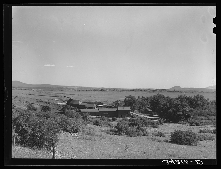
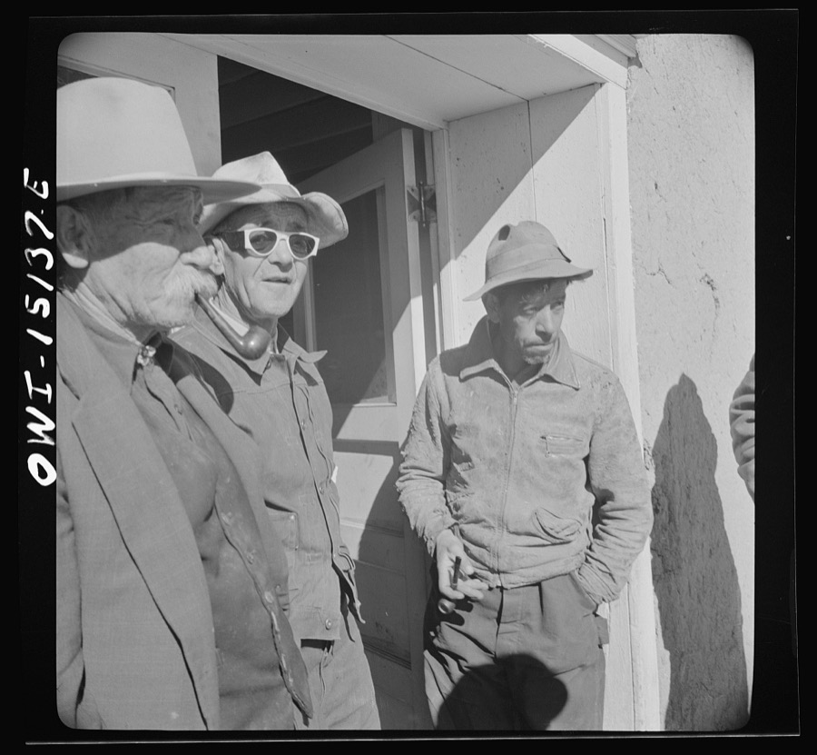
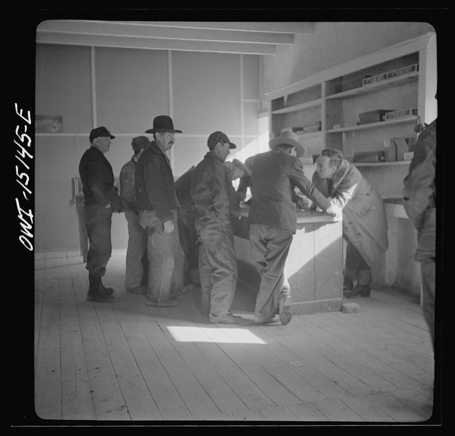
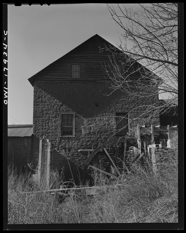
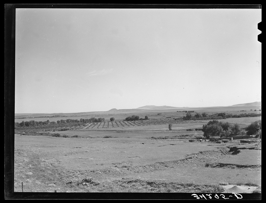
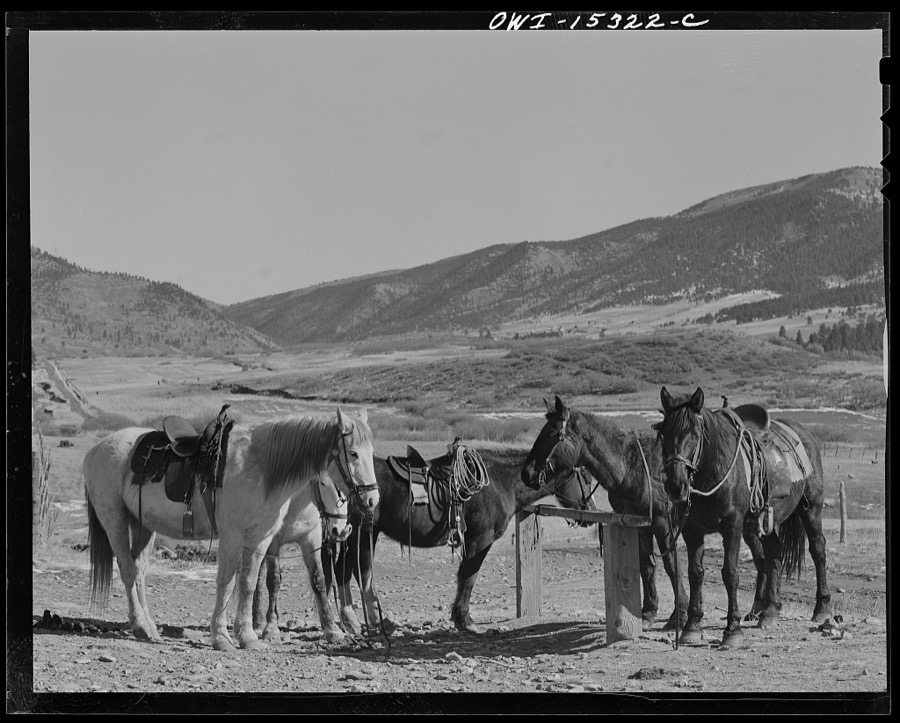
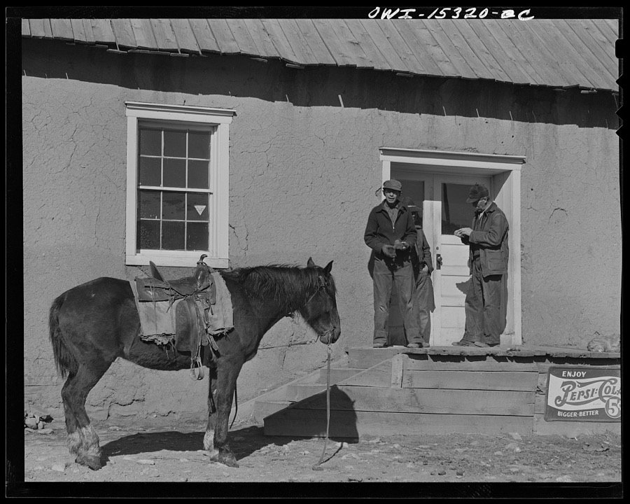
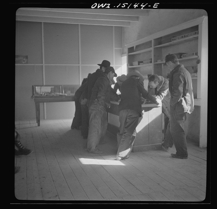
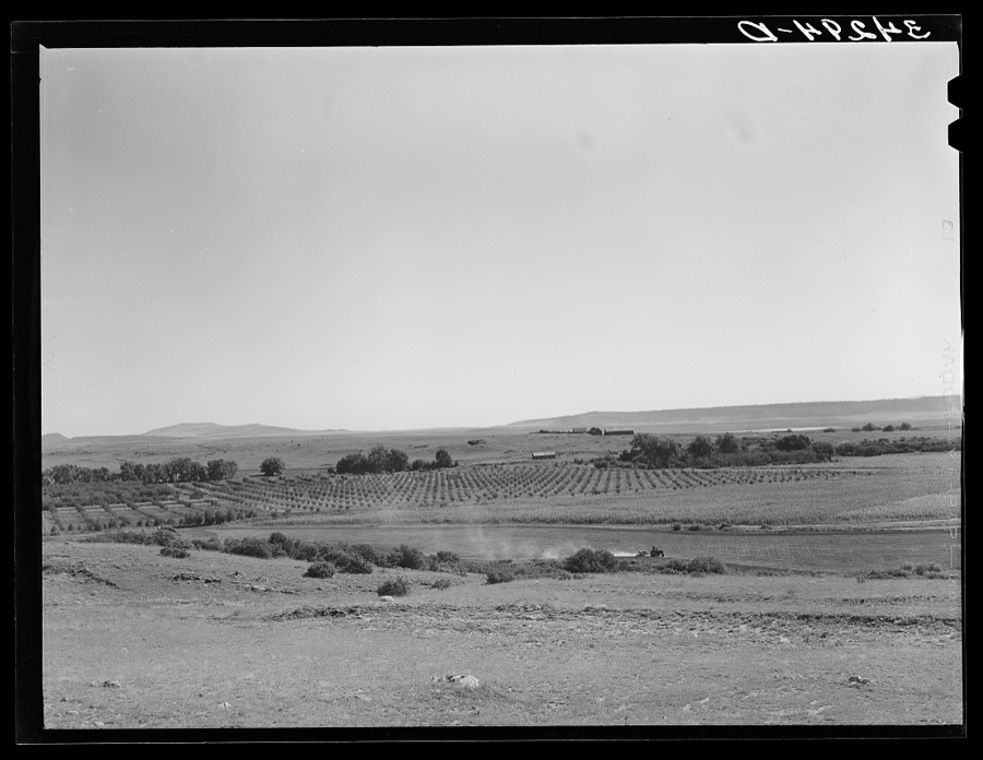
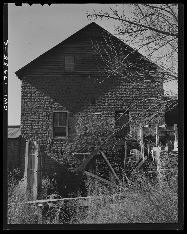
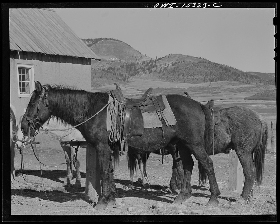
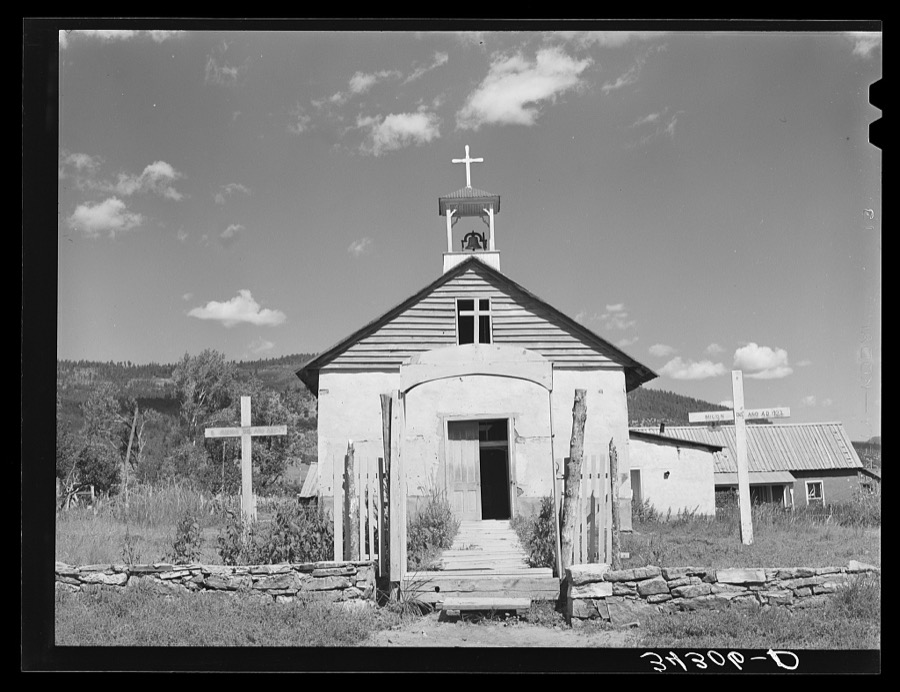
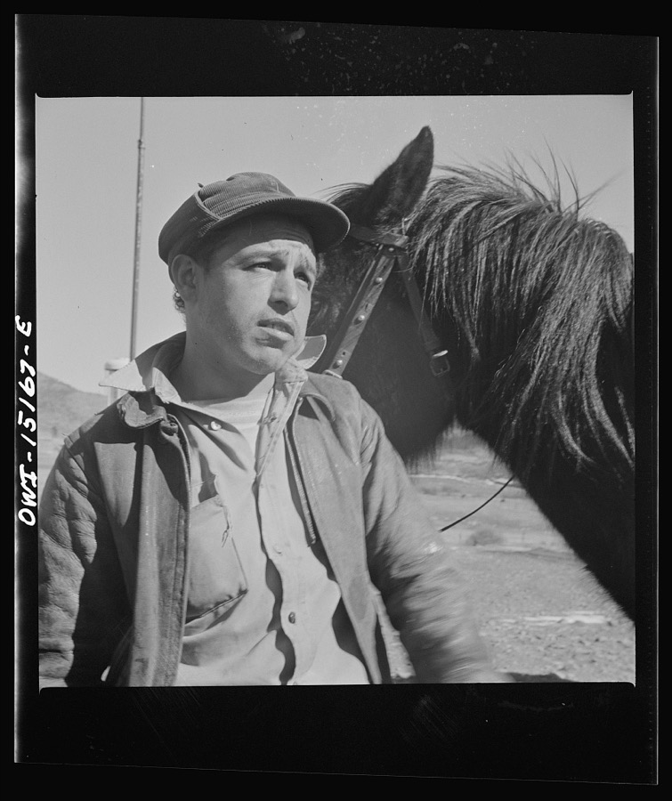
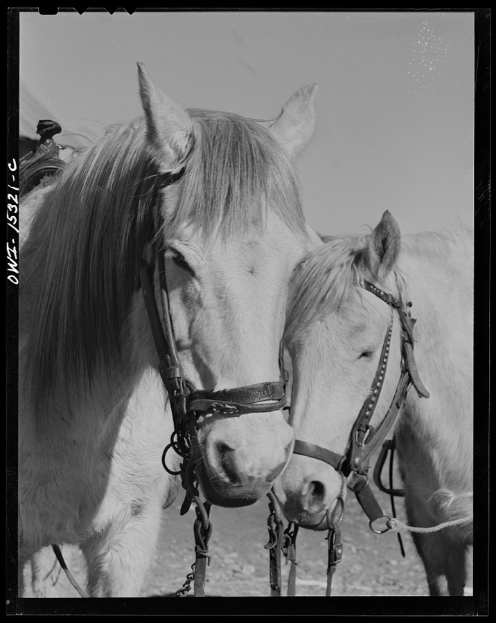

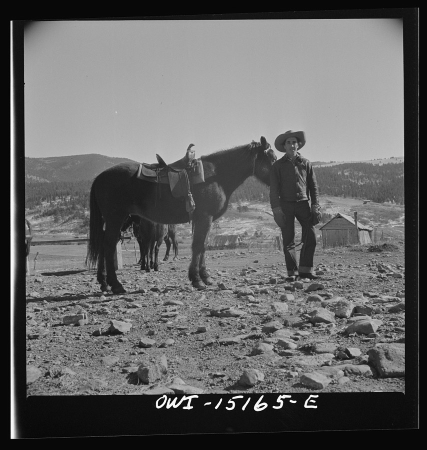
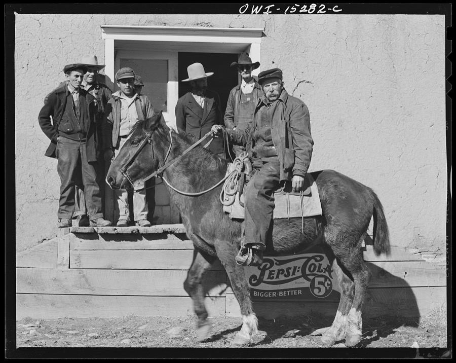
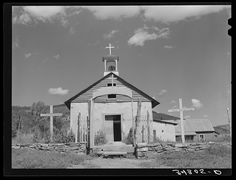

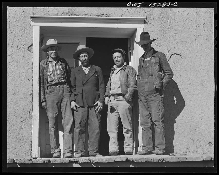
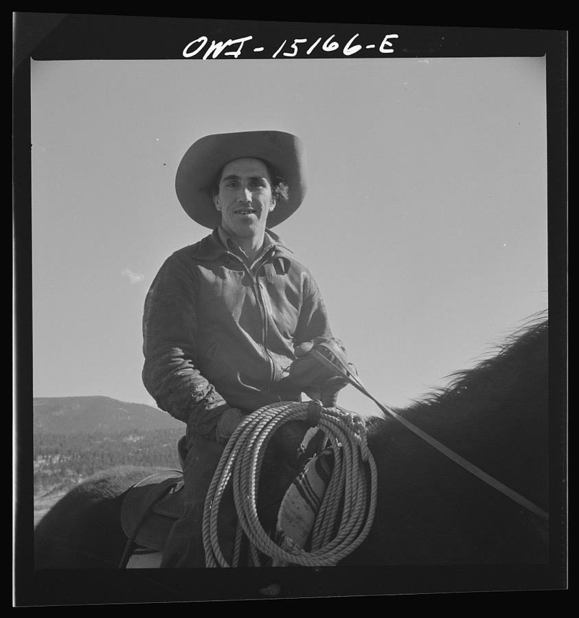
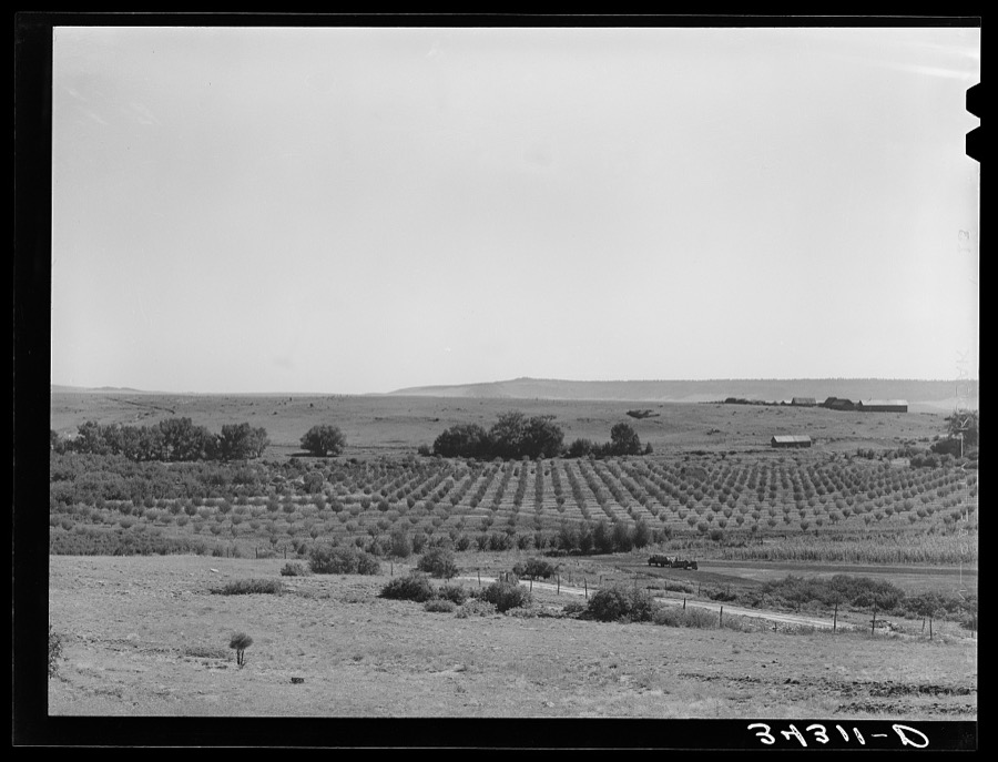
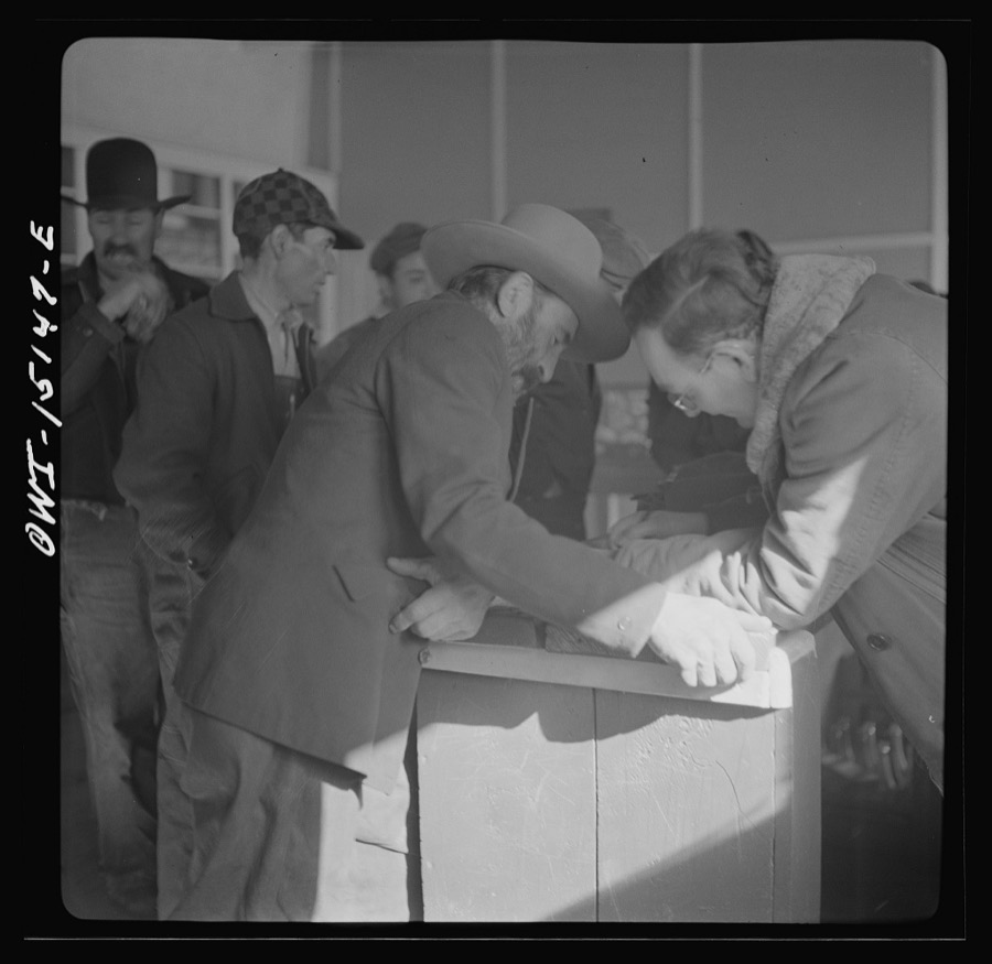

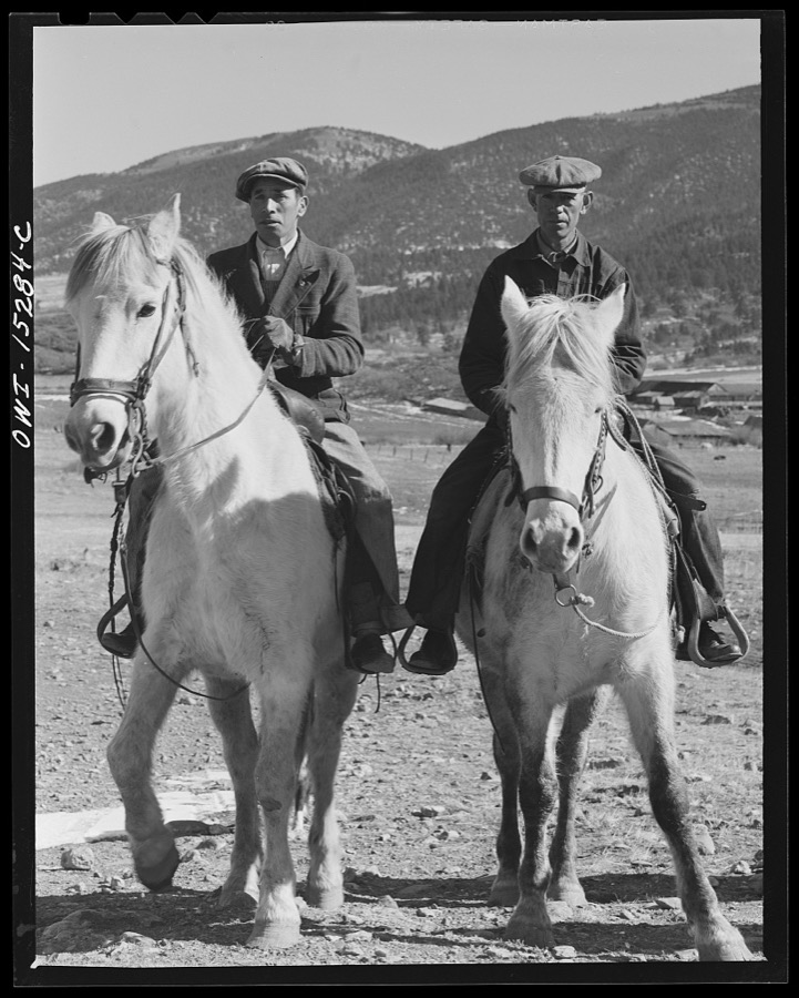
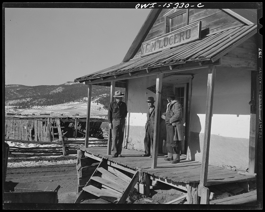
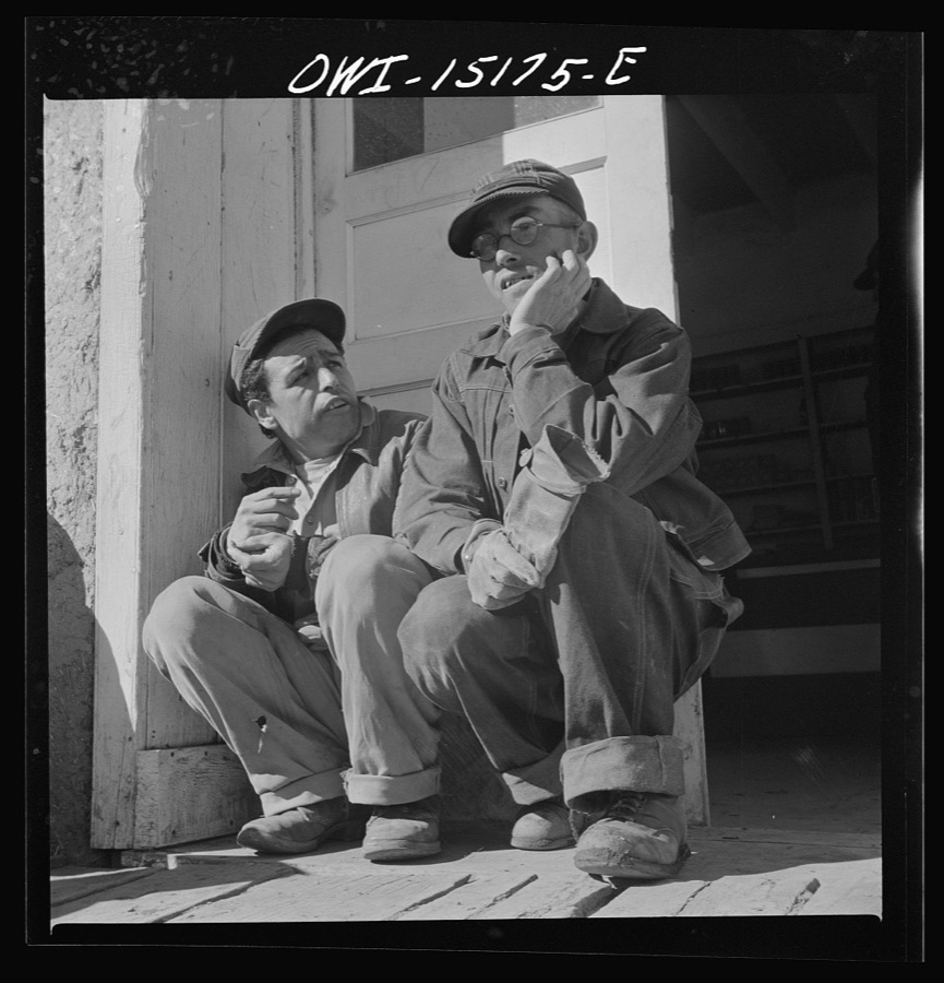
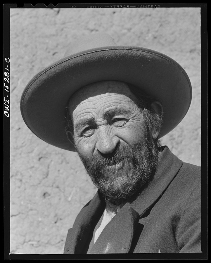
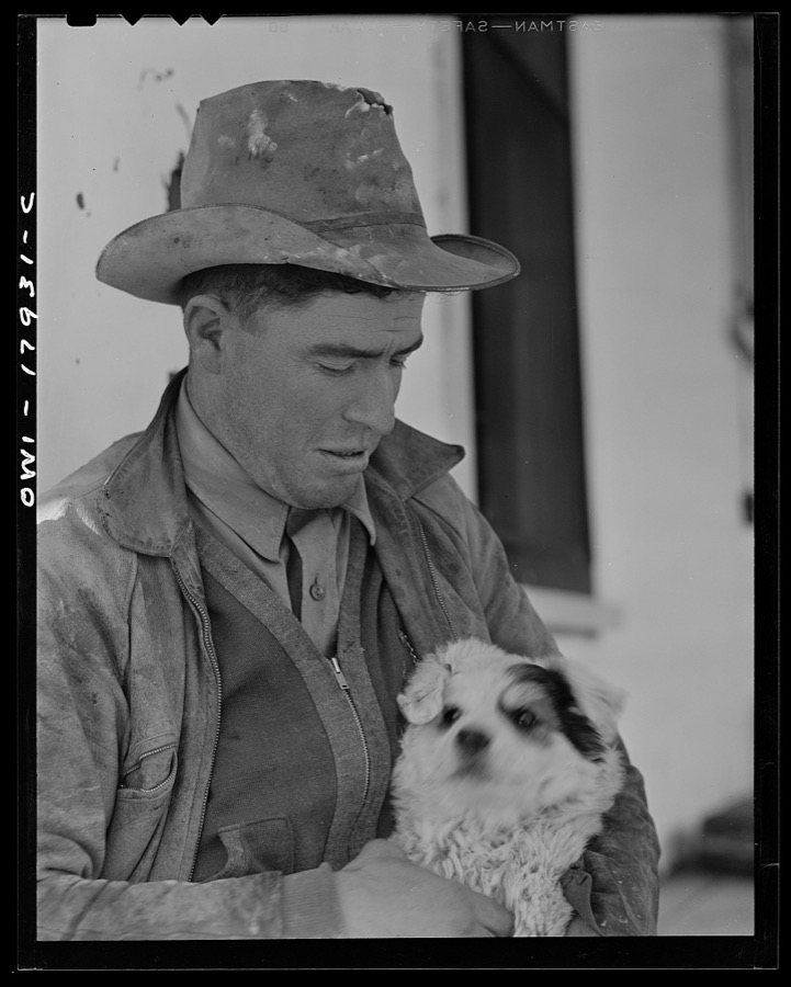
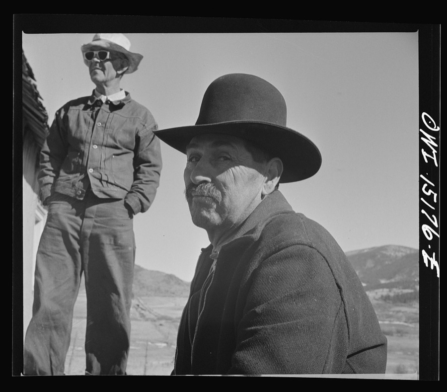



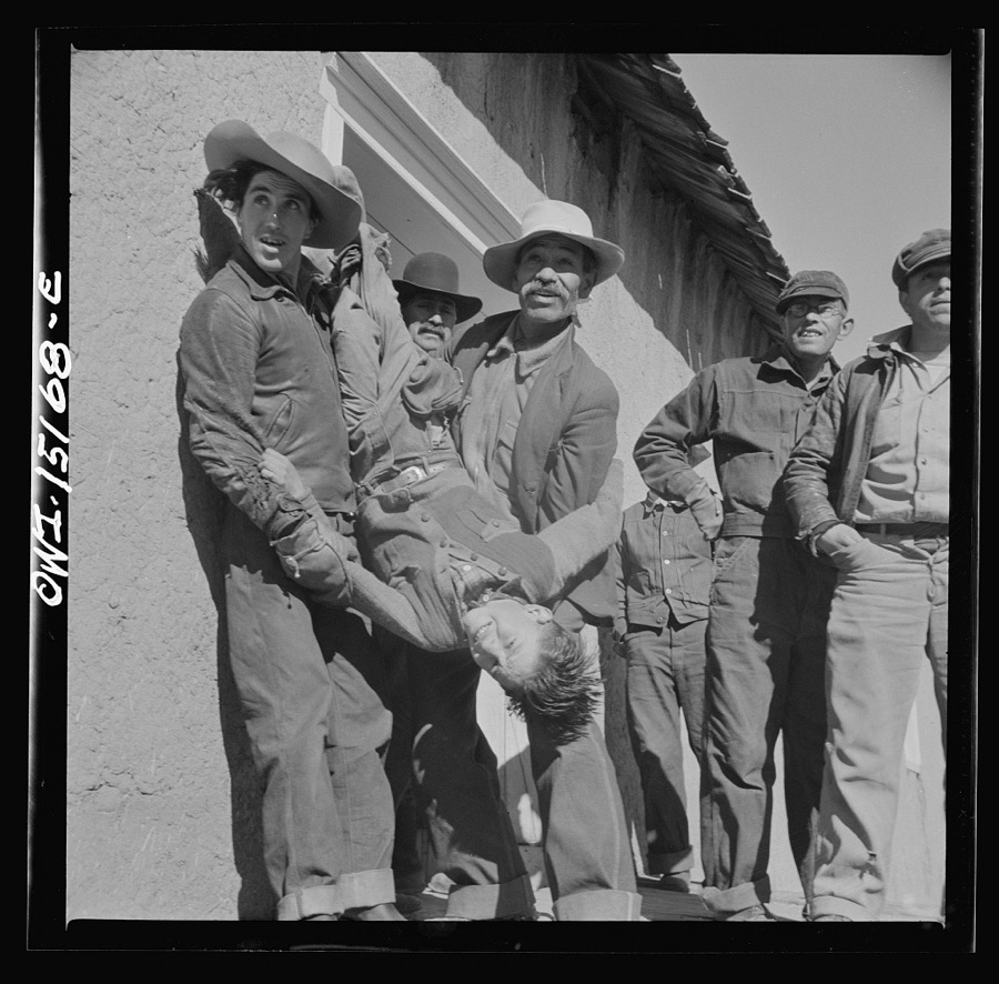
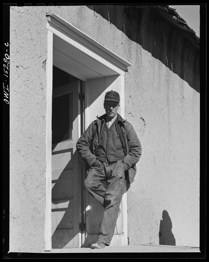
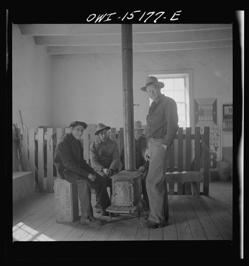


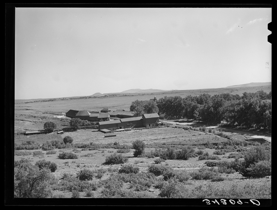
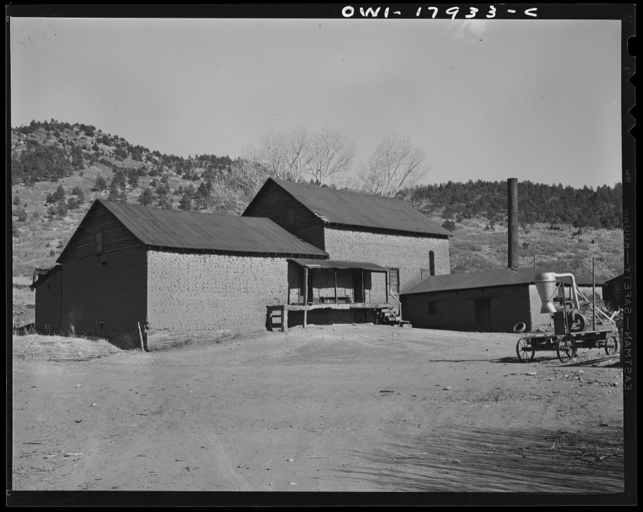
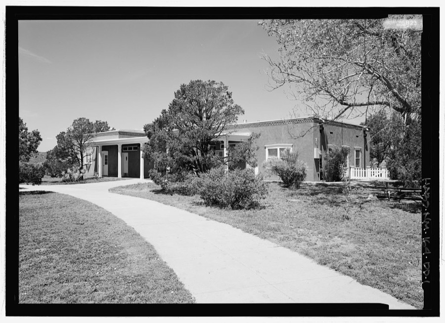
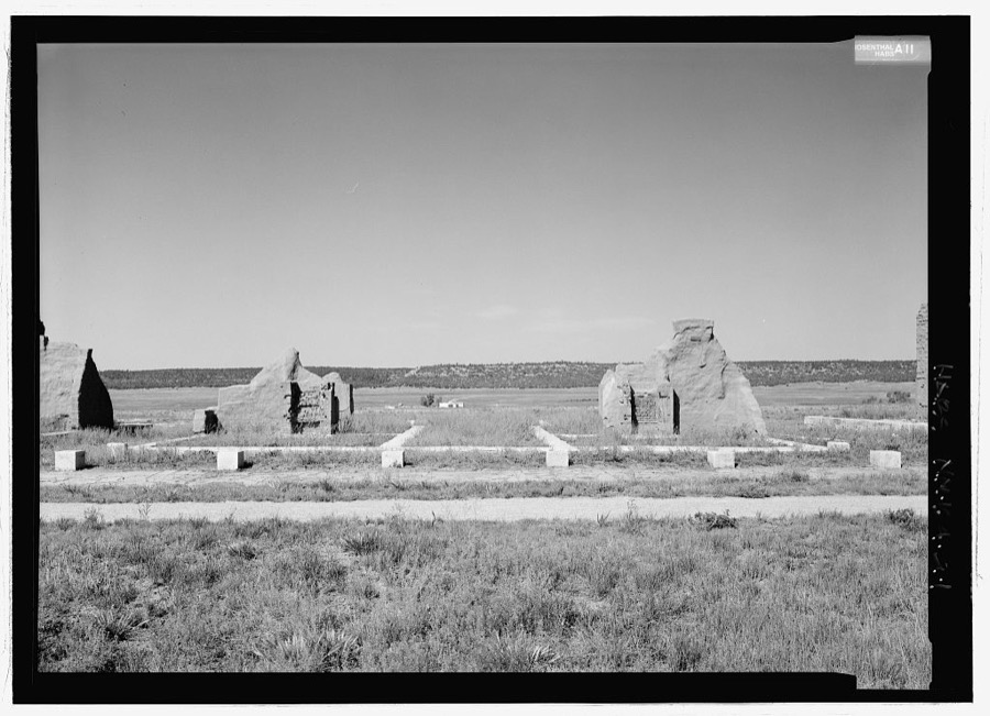
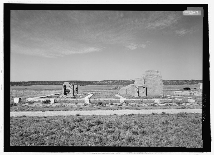
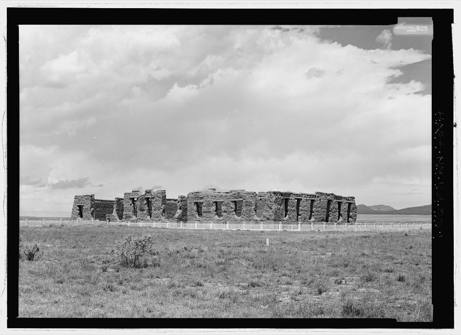
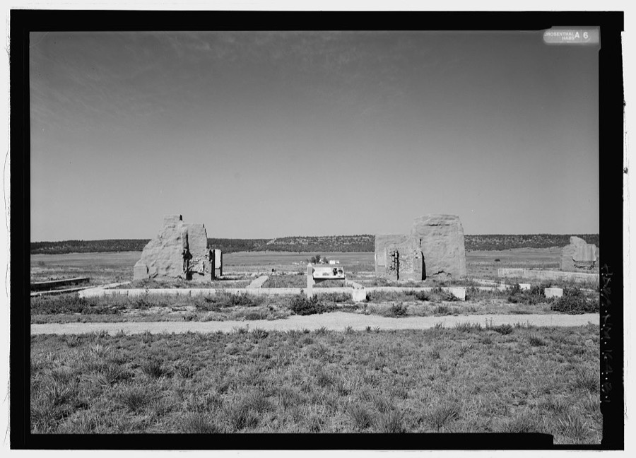
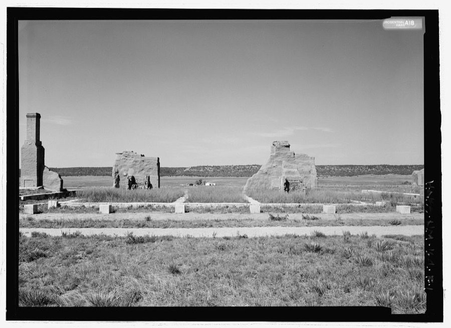
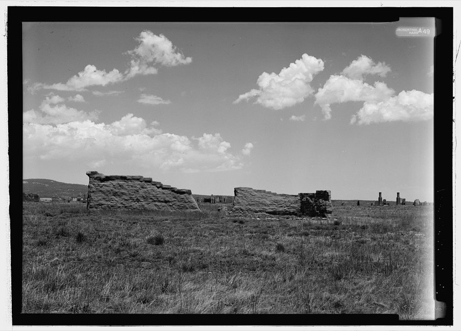
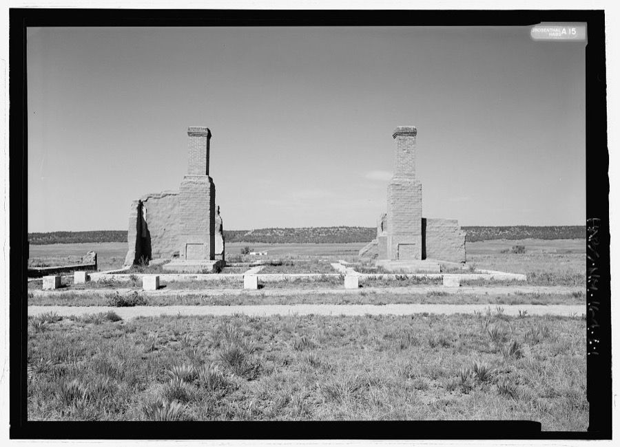
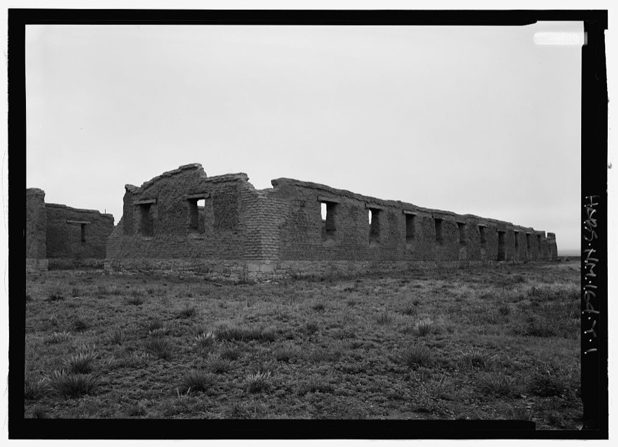
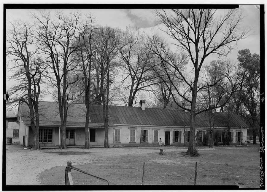
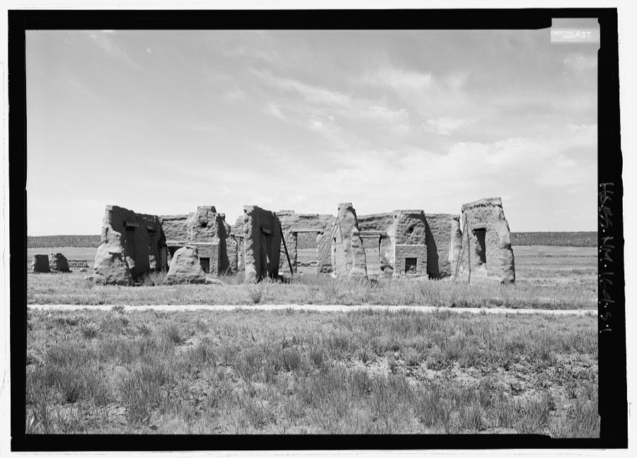
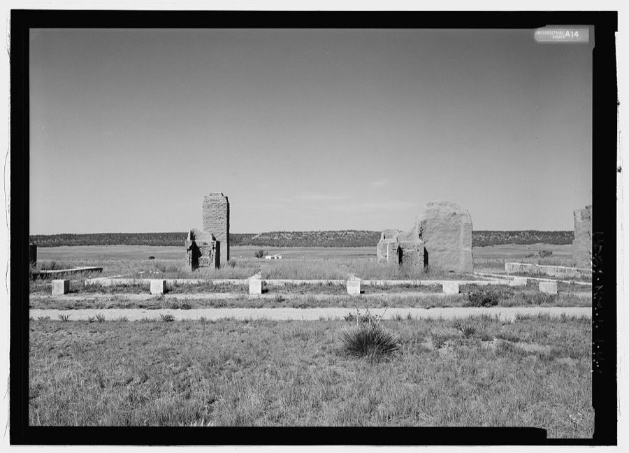
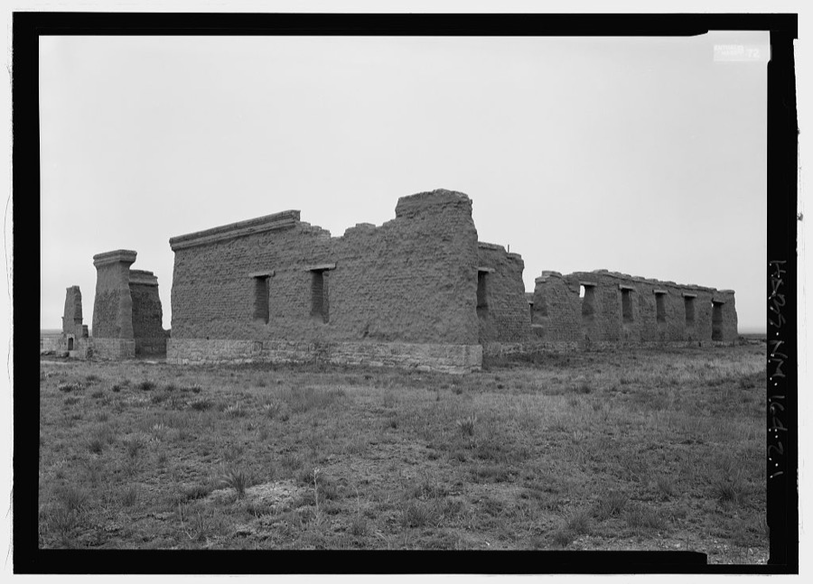
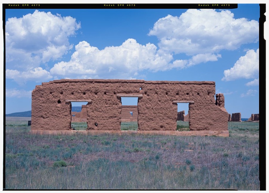
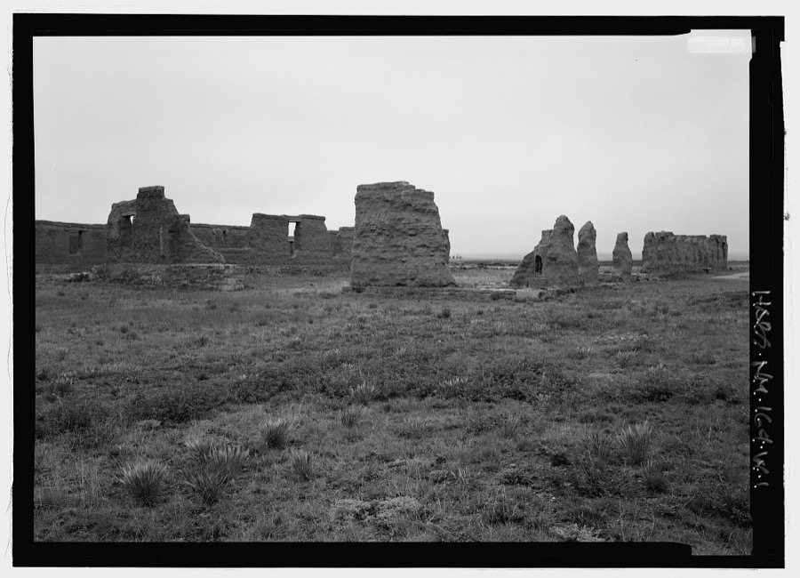
Every property in this county listed on the National Register of Historic Places, with the year it was listed and the federal nomination document.
| Photograph | Property | Type | Listed | Reference |
|---|---|---|---|---|
 | Cassidy Mill | building | 1978 | 78001818 |
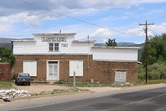 | Cassidy, Daniel, and Sons General Merchandise Store | building | 1979 | 79001541 |
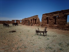 | Fort Union National Monument | site | 1966 | 66000044 |
| Guadalupita-Coyote Rural Historic District | district | 2017 | 100001034 | |
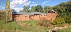 | La Cueva Historic District | district | 1973 | 73001144 |
| Ocate Creek Crossing and the Santa Fe Trail-Mora County Trail Segments | site | 1994 | 94000329 | |
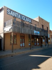 | Santa Clara Hotel | building | 1991 | 91000602 |
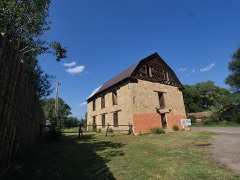 | St. Vrain's Mill | site | 1973 | 73001143 |
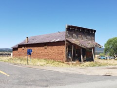 | J. P. Strong Store | building | 1979 | 79001542 |
| Tipton-Black Willow Ranch Historic District | district | 2001 | 00001287 | |
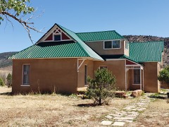 | Narciso Valdez House | building | 1980 | 80004484 |
| Valmora Sanatorium Historic District | district | 1995 | 95000286 | |
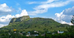 | Wagon Mound | site | 1966 | 66000478 |
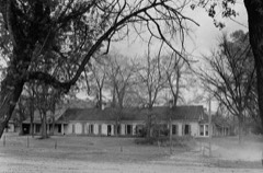 | Watrous | district | 1966 | 66000480 |
Drawn when these were printed as single large sheets: the town seen from the air, and the county divided into its farms with every owner named. Each opens the original at the Library of Congress.
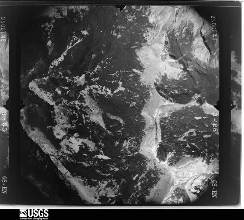
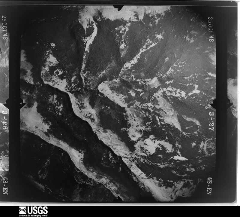
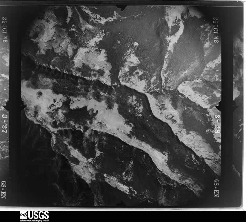
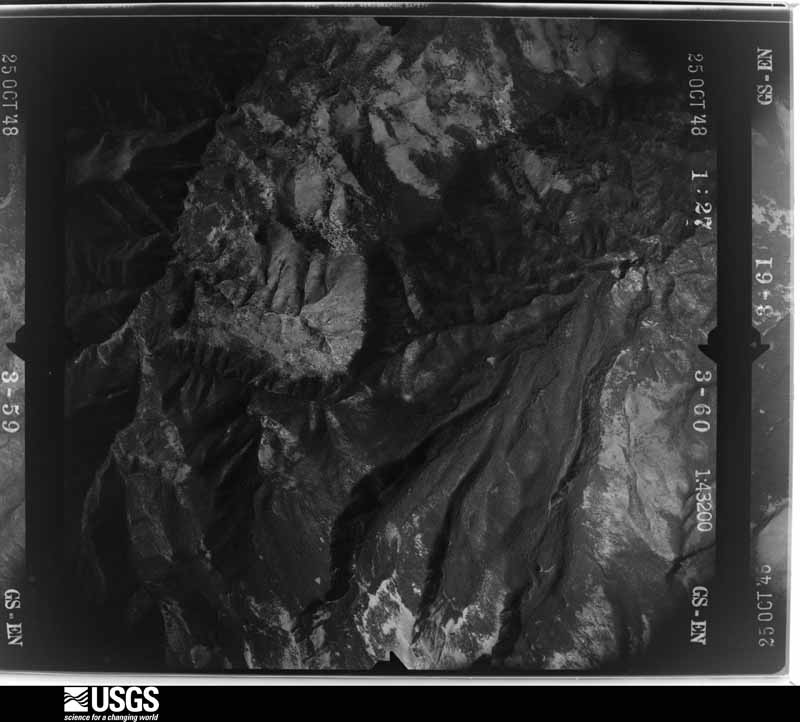
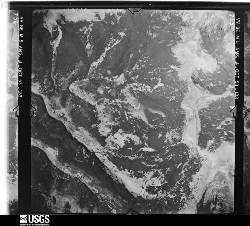
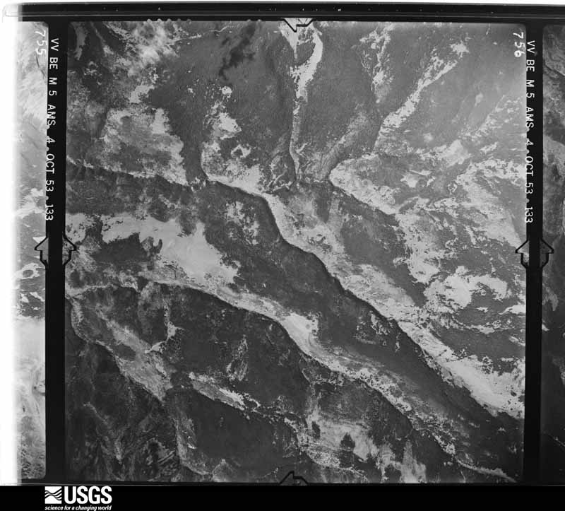
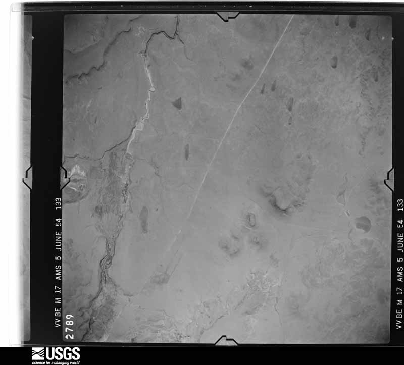
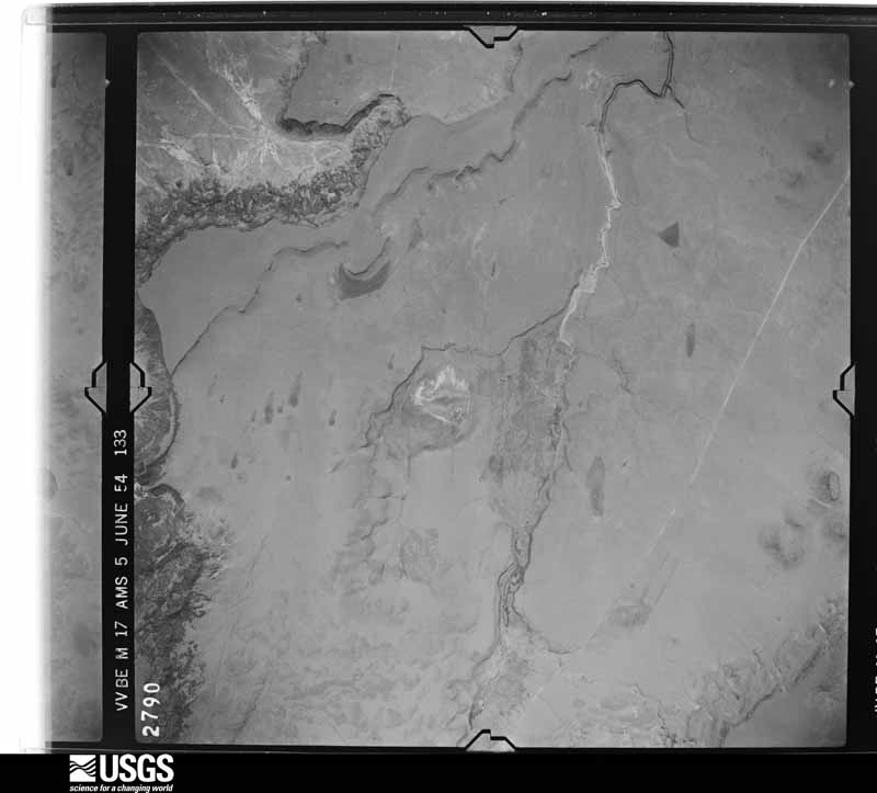
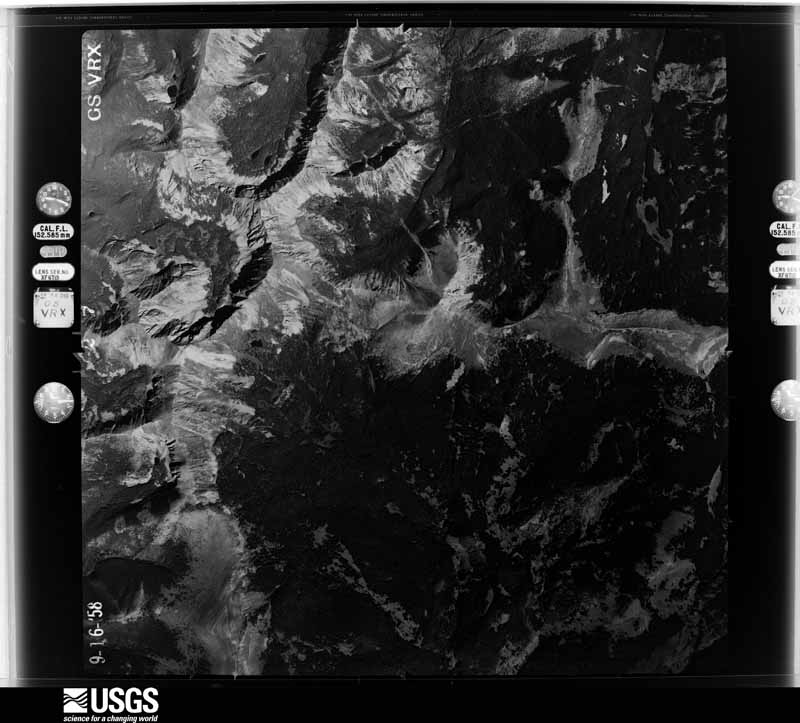
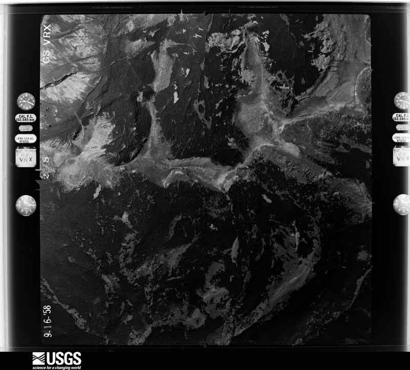
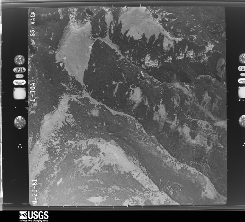
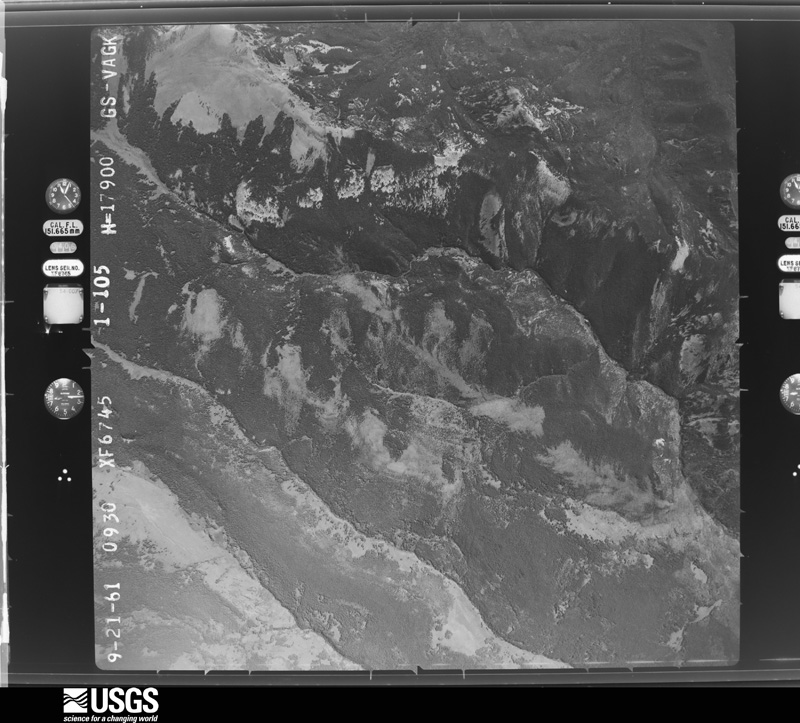
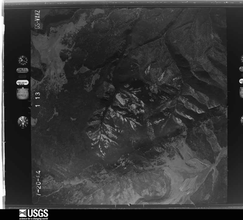
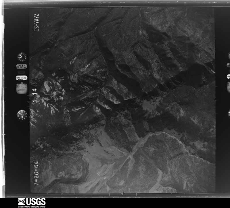
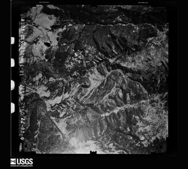
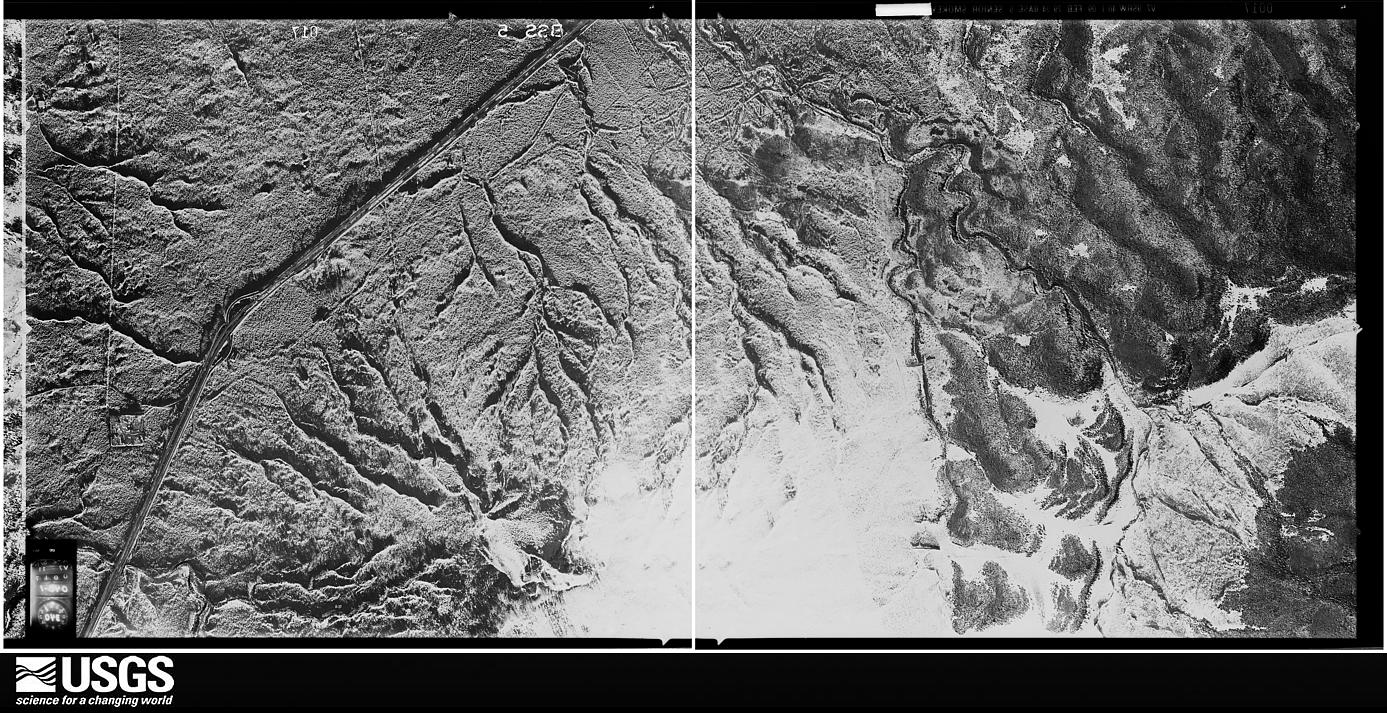
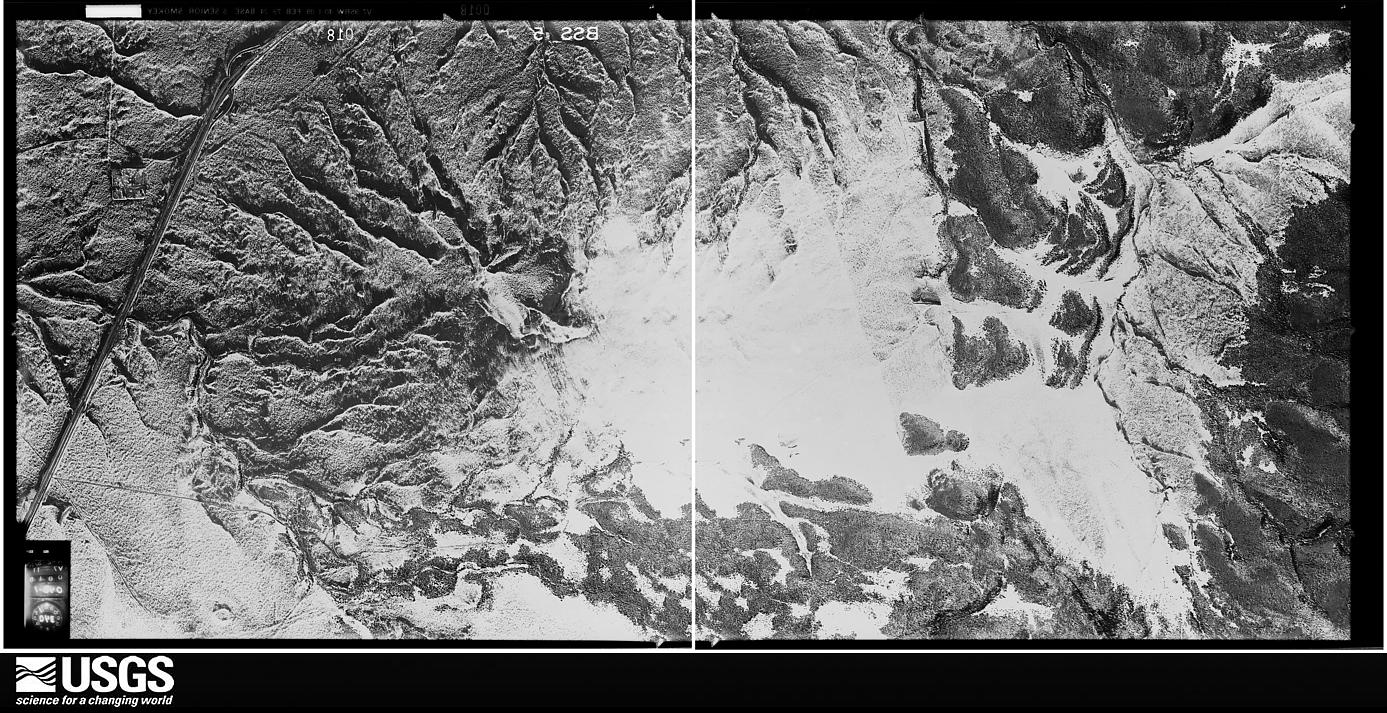
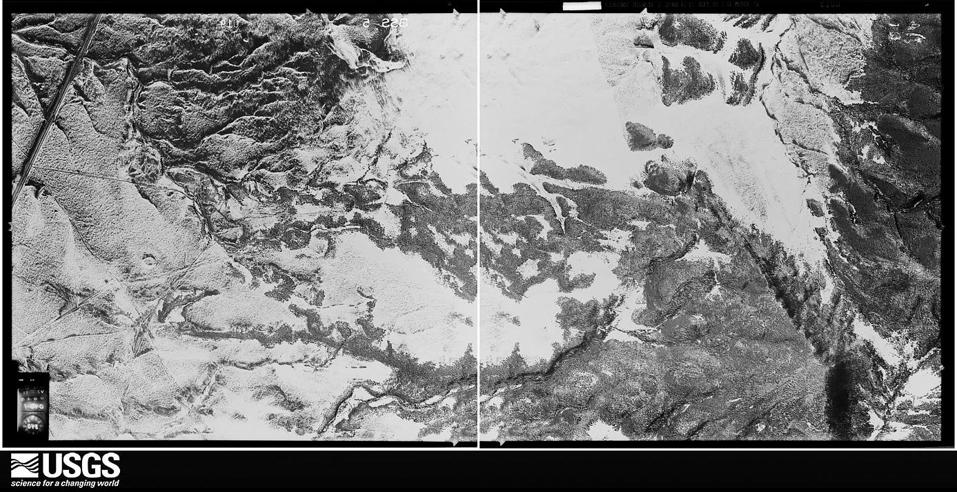
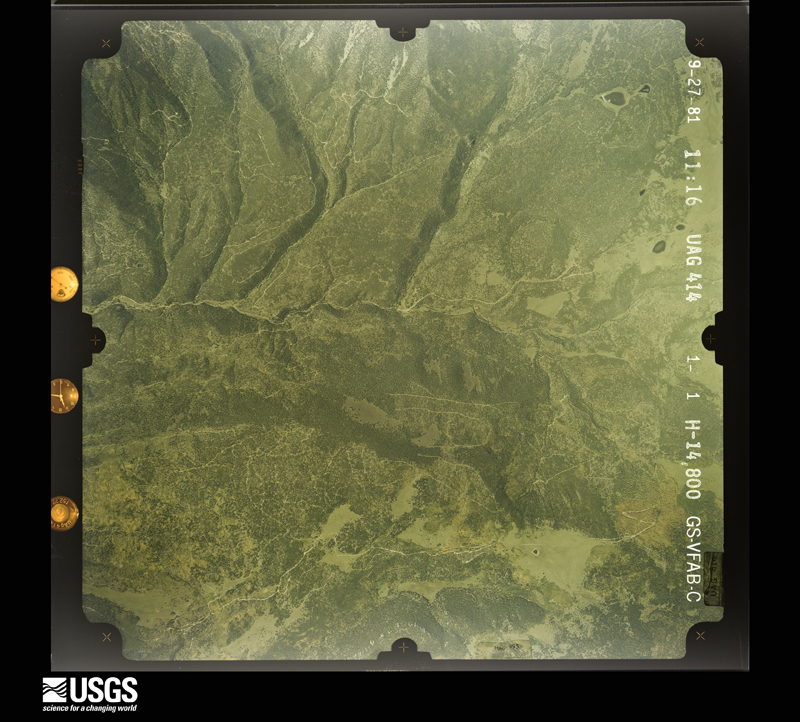
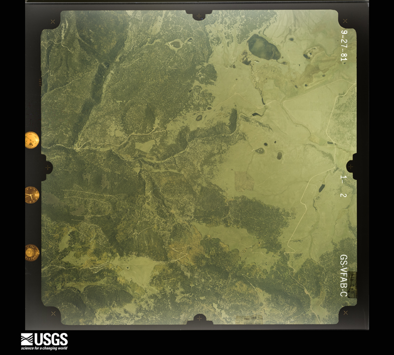
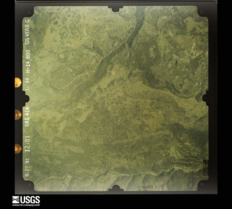
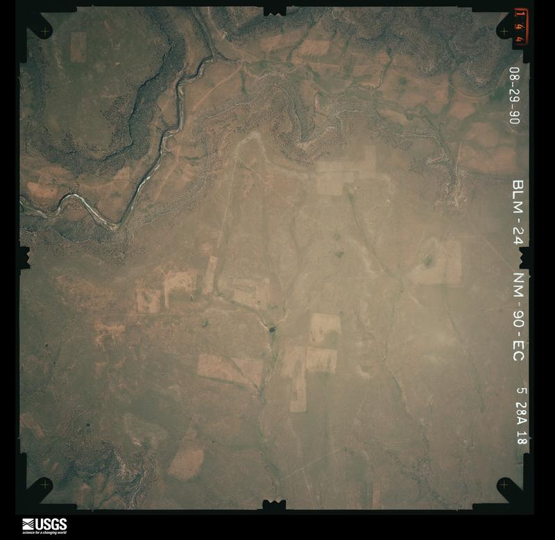
Flown by the U.S. Geological Survey between 1937 and 1989, the Aerial Photo Single Frames collection is the definitive mid-century view of the land: fields, roads and rivers as the camera saw them. The Survey holds 1,679 frames inside the rectangle that bounds this county; the 48 frames below were taken over the county itself, chosen across the decades of flights (at most four a year from that rectangle), so one flight cannot crowd out the rest. The full set is free to browse and download at EarthExplorer under the dataset Aerial Photo Single Frames.
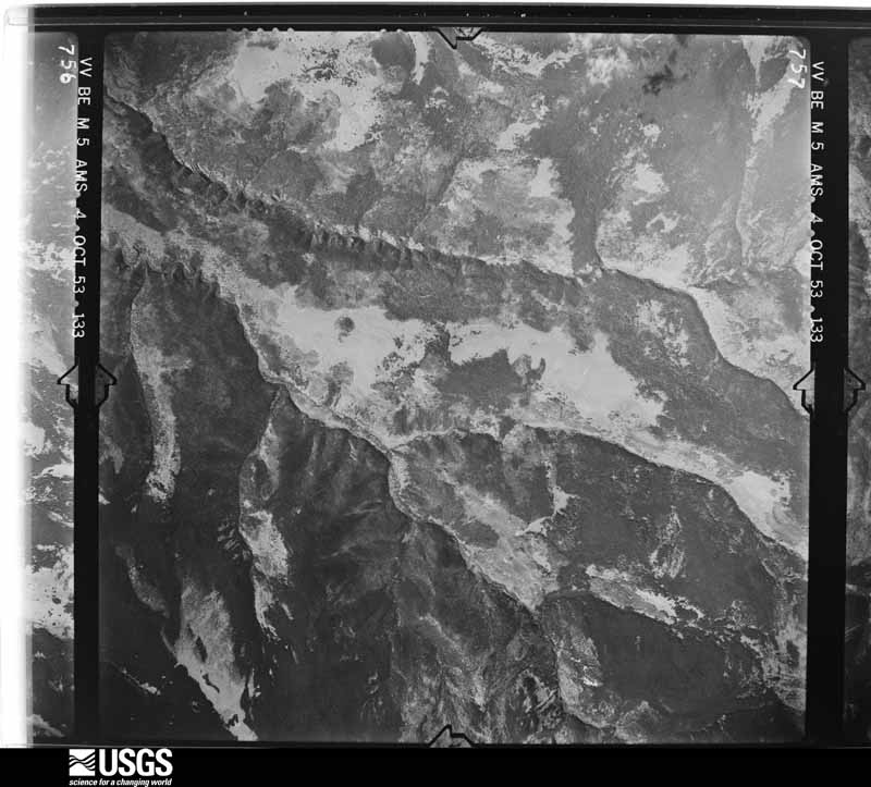
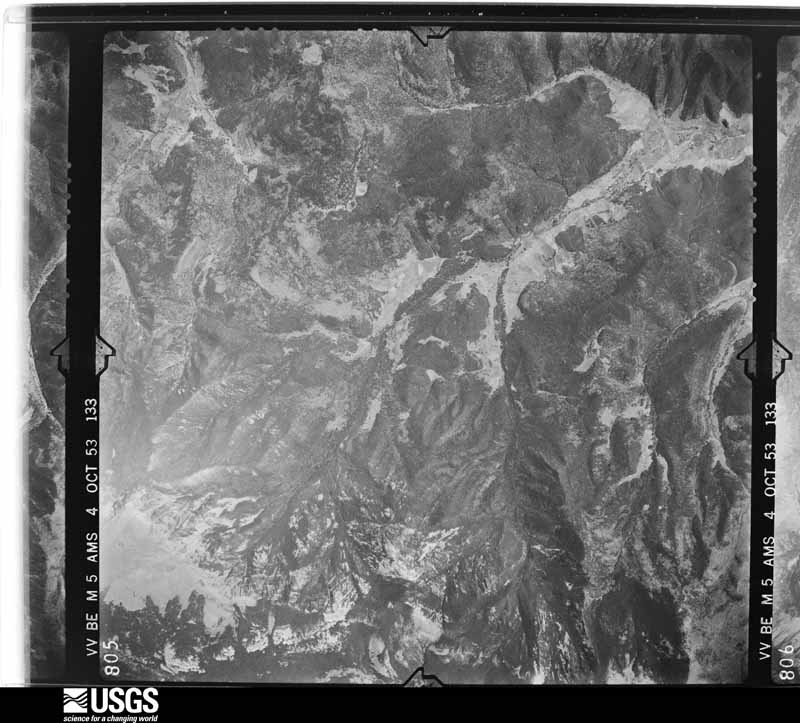
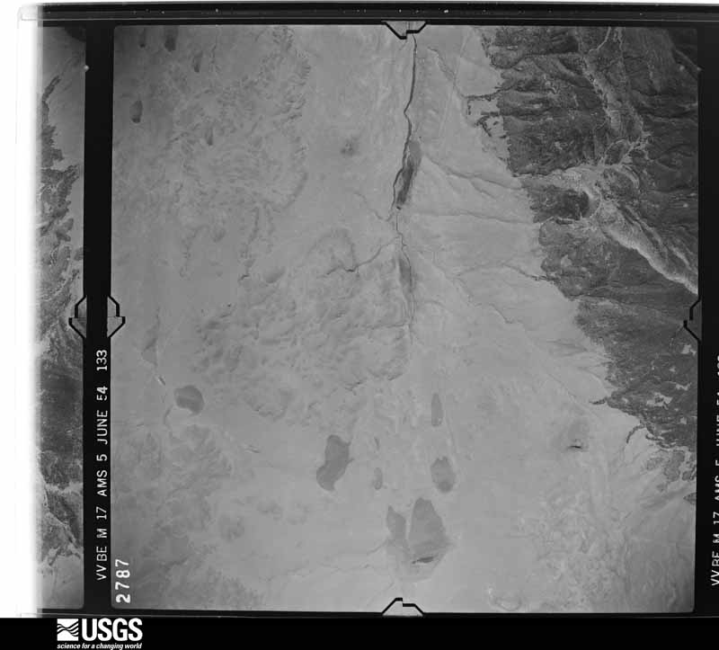
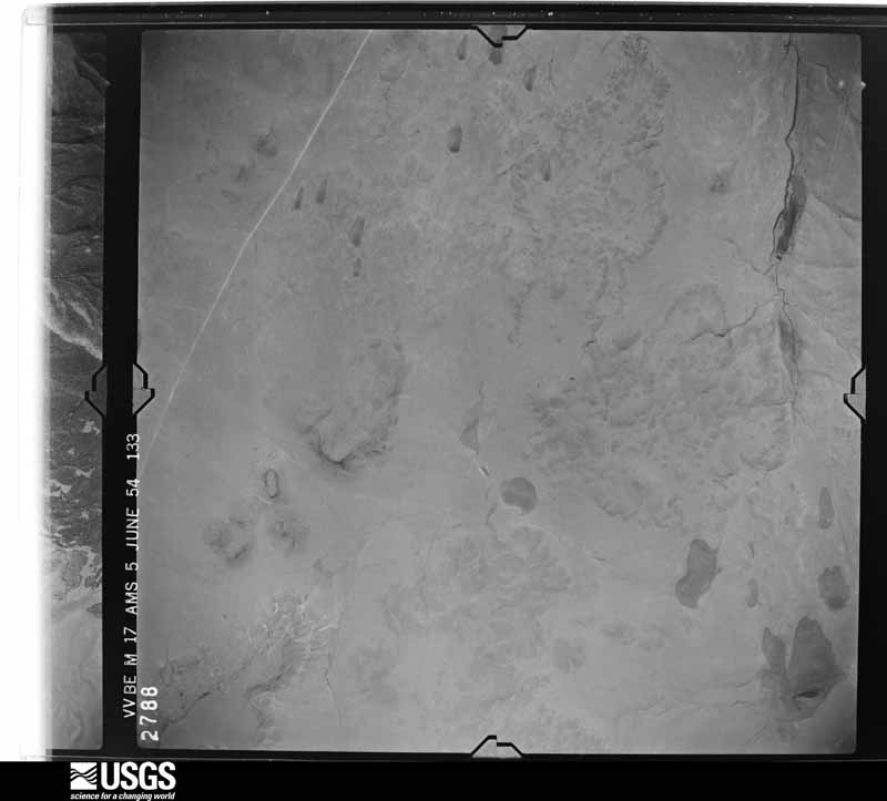
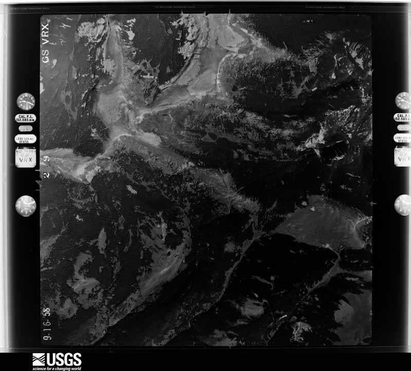
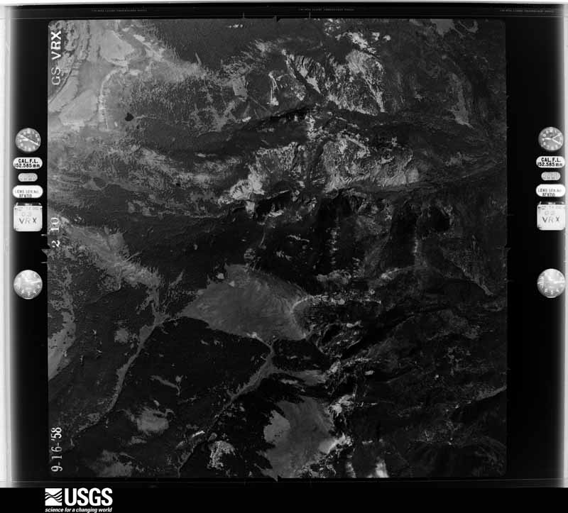
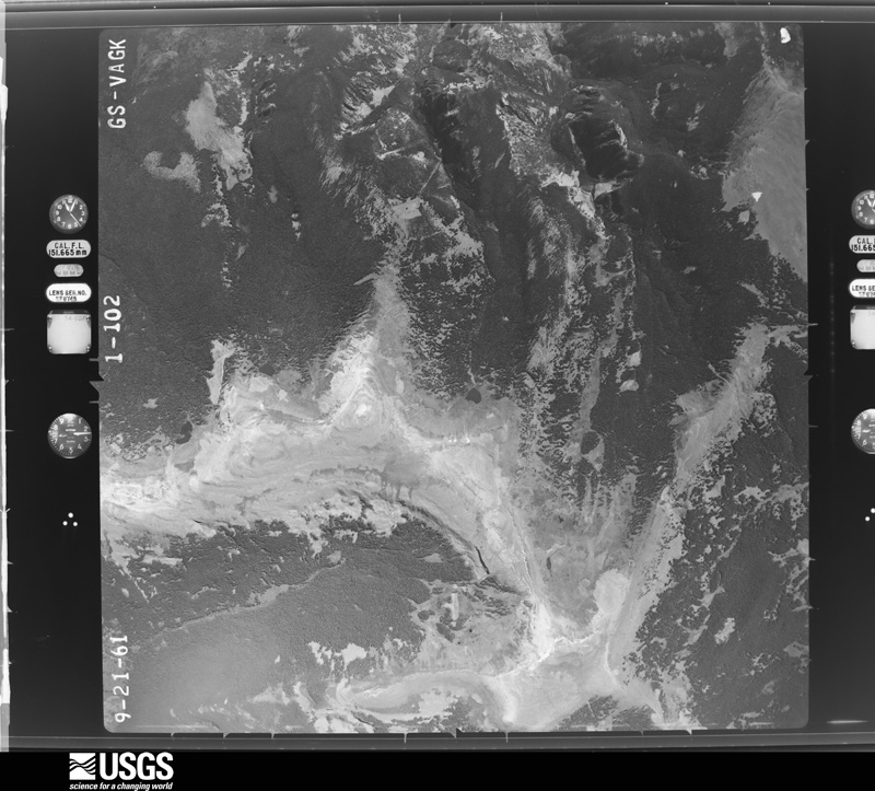
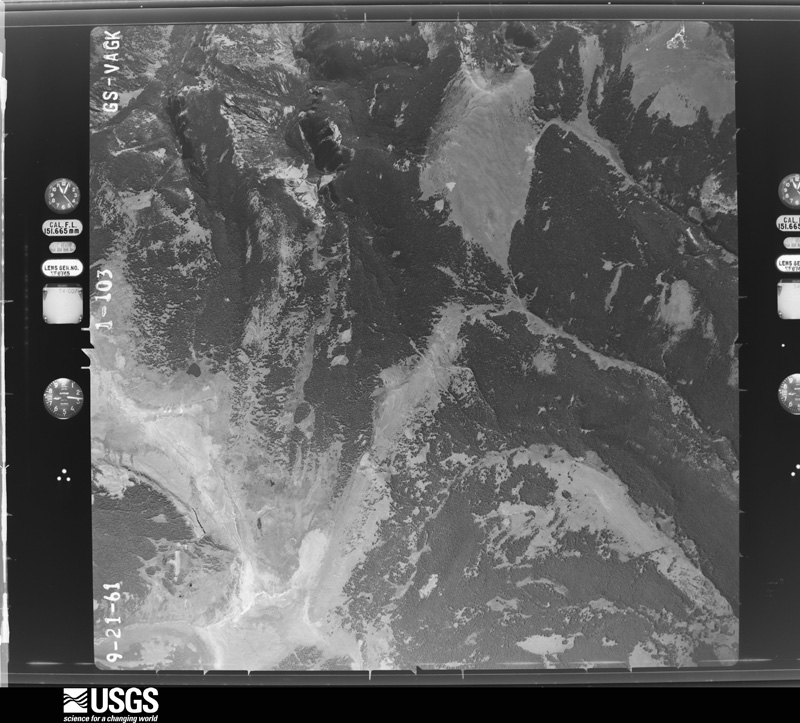
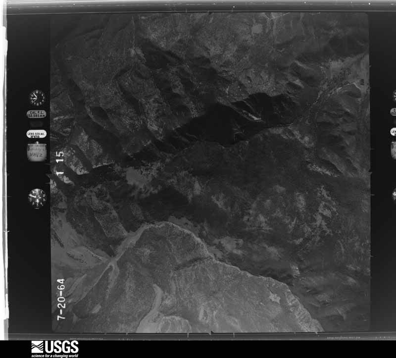
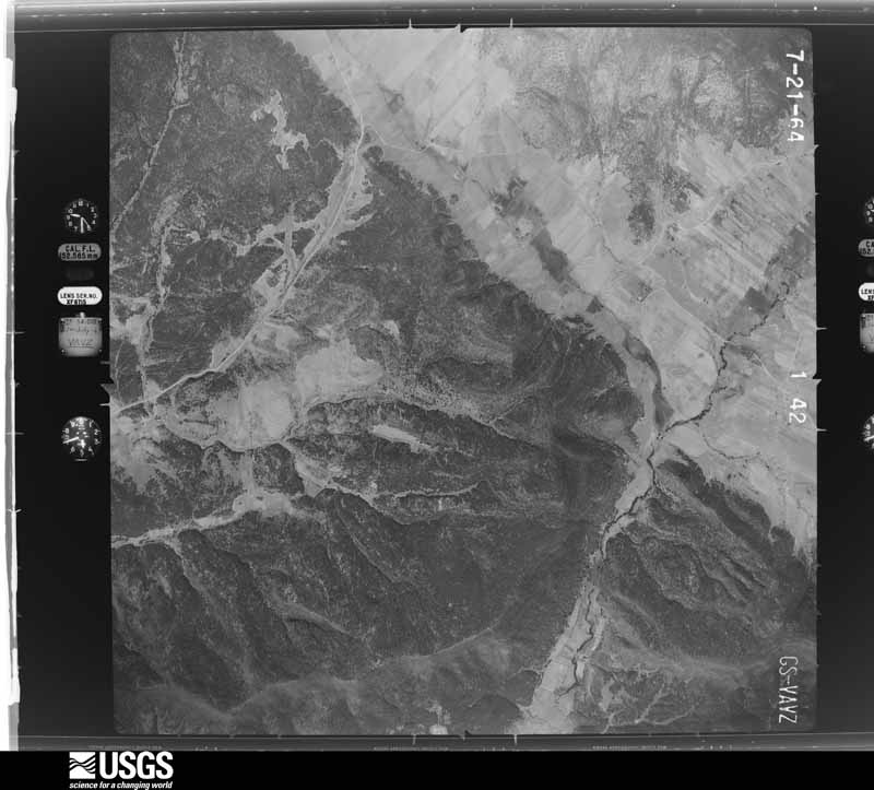
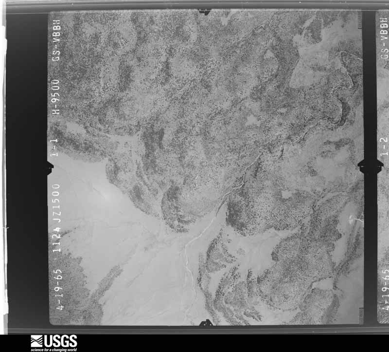
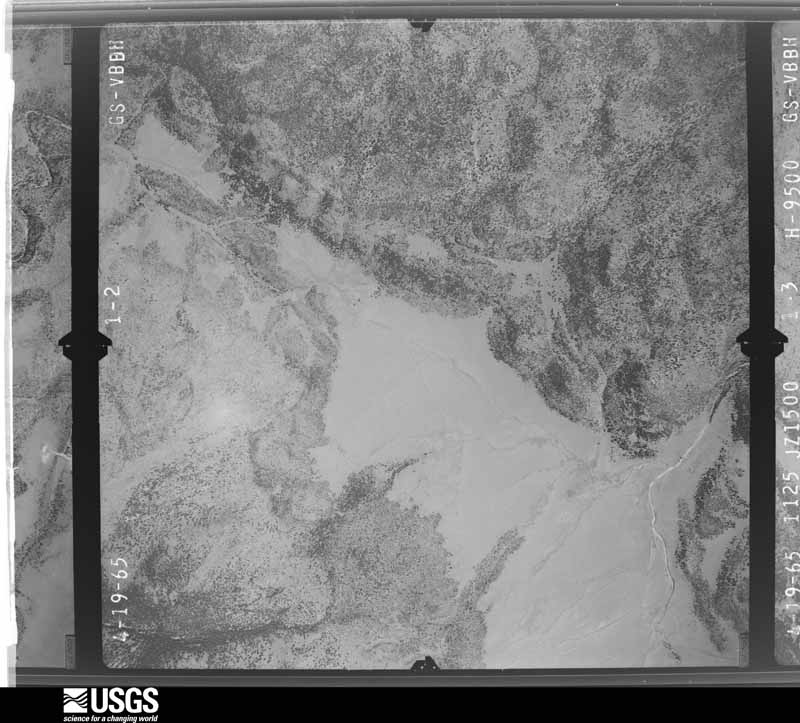
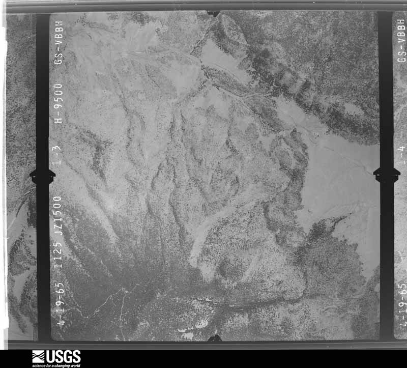
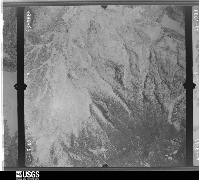
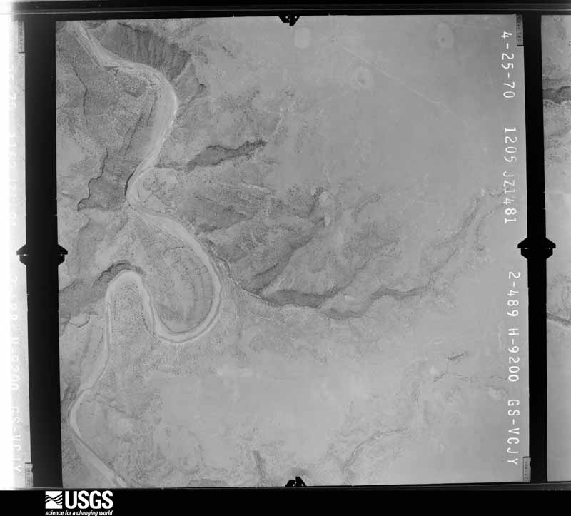
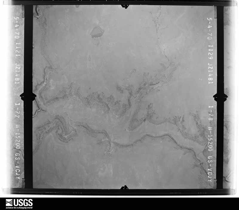
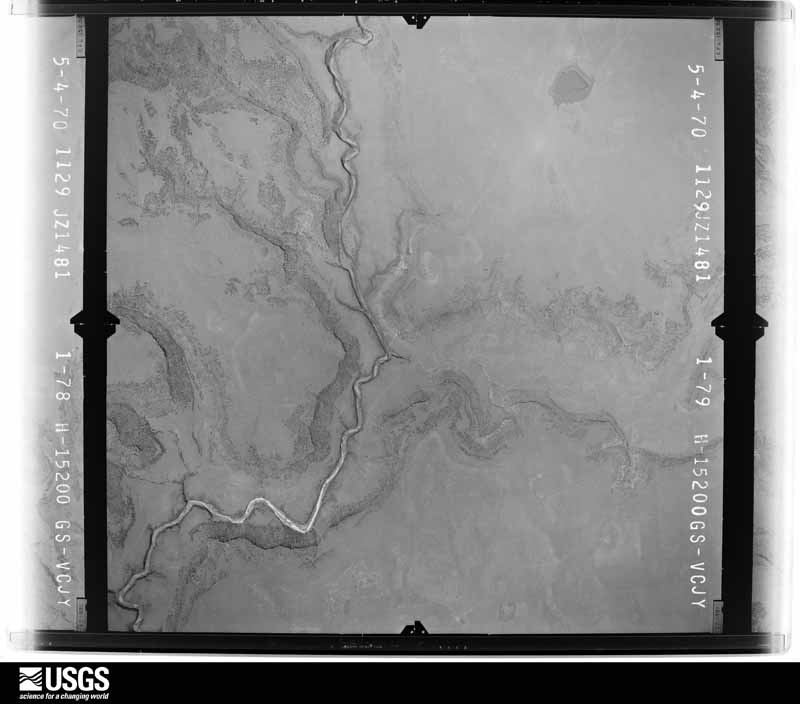
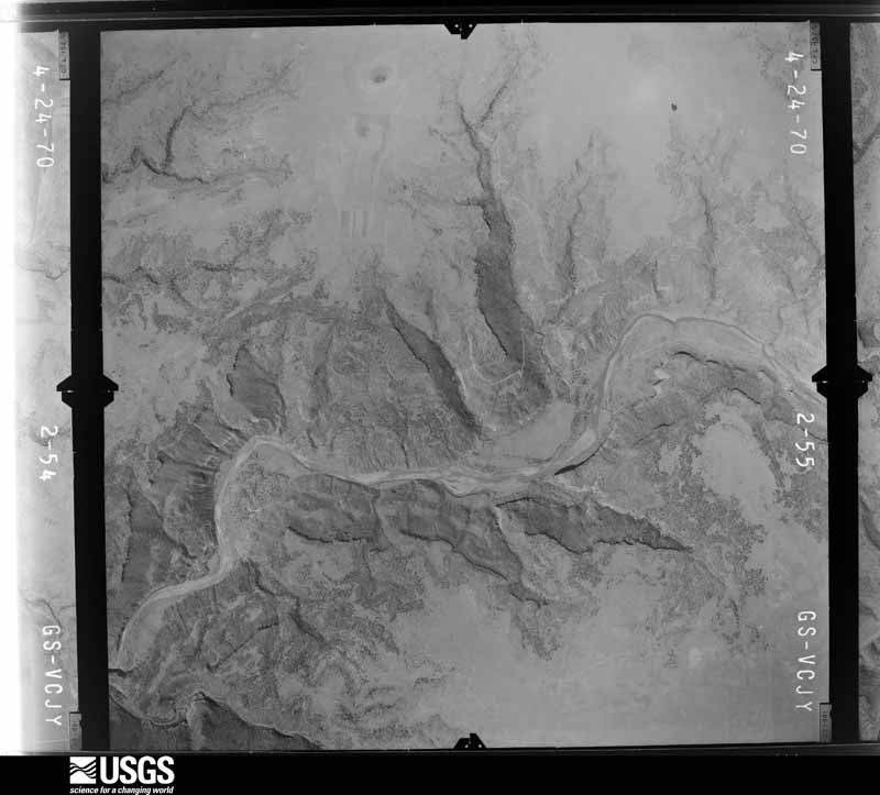
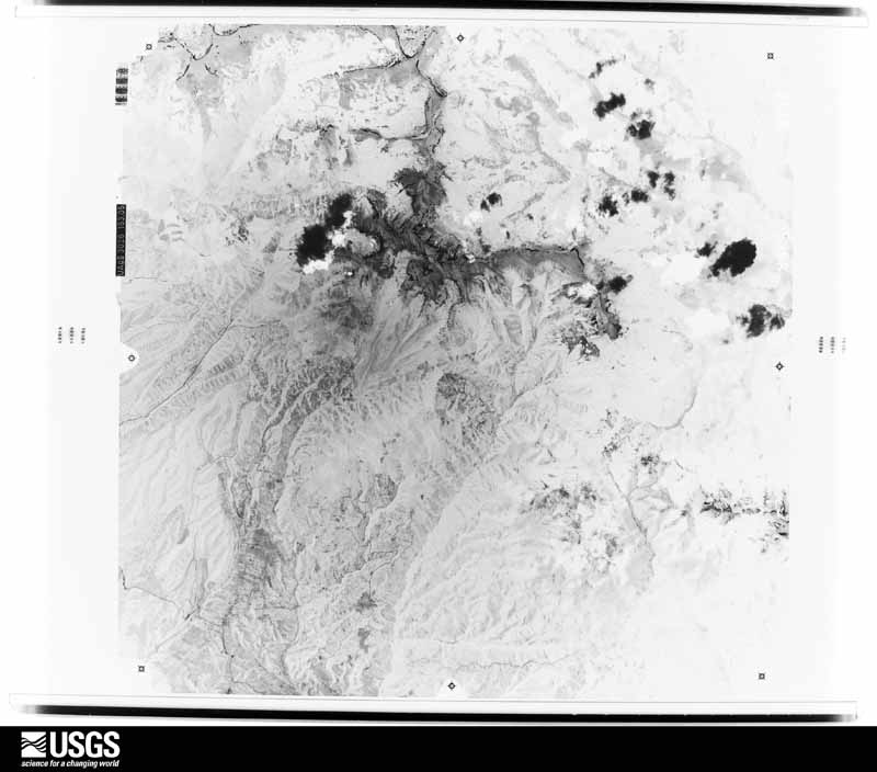
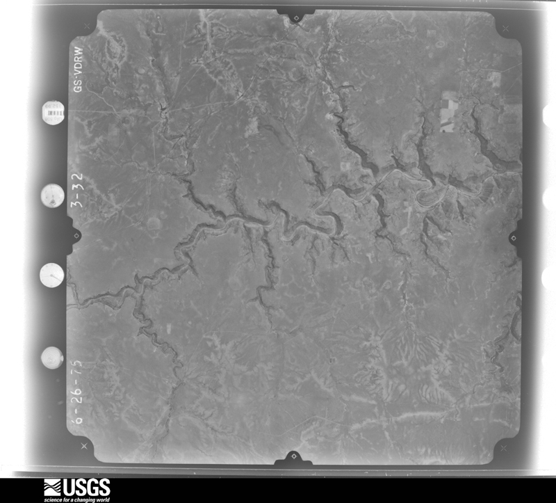
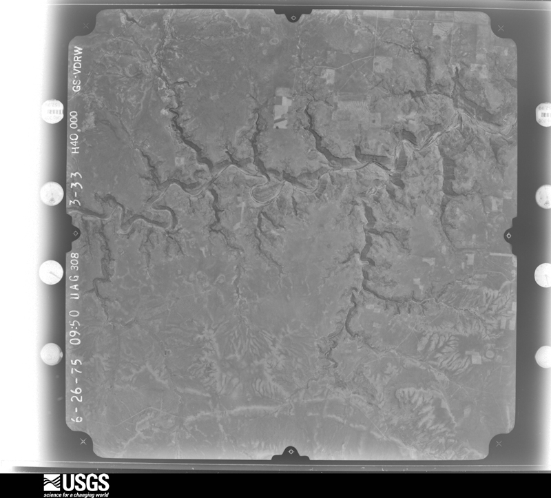
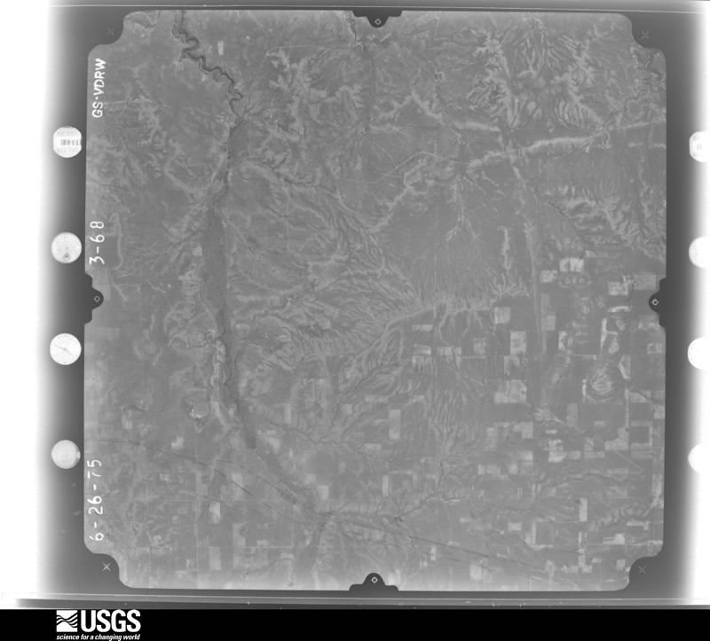
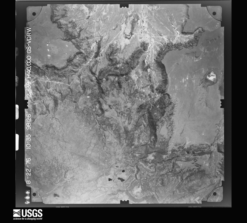
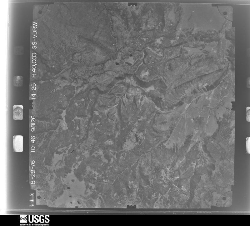

The thermometers that kept this county's weather, and the gages that measured the flow of its streams, as the federal records hold them. The extremes below are measured values from those records, not estimates.
Who lived here in 1950, one enumeration district at a time, as the Census Bureau described each district. Each row opens its official National Archives result, with Population Schedules and ED Maps available there.
Every wildfire the federal occurrence database records inside this county: 698 of them, burning about 100,537 acres. 377 started naturally and 4 were recorded as arson. Each settlement page carries the fires within five miles of it.
| Reported cause | Fires |
|---|---|
| Natural | 377 |
| Missing data/not specified/undetermined | 205 |
| Debris and open burning | 57 |
| Equipment and vehicle use | 22 |
| Recreation and ceremony | 11 |
| Smoking | 10 |
| Power generation/transmission/distribution | 7 |
| Arson/incendiarism | 4 |
| Misuse of fire by a minor | 4 |
| Other causes | 1 |
The five largest, by the area the report gives. None of them was recorded as arson.
| Date | Cause | Size | Reported by | Name on the report |
|---|---|---|---|---|
| 16 June 2006 | Natural | 16,114 acres | New Mexico State Forestry Division | RIVERA MESA |
| 12 April 2006 | Missing data/not specified/undetermined | 16,000 acres | New Mexico State Forestry Division | OJO FELIZ |
| 15 March 2000 | Missing data/not specified/undetermined | 13,000 acres | New Mexico State Forestry Division | DIAMOND |
| 20 May 2006 | Natural | 8,992 acres | New Mexico State Forestry Division | LEVI |
| 2 June 2002 | Natural | 8,260 acres | Bandelier National Monument | CERO PELAD |
| 22 May 2006 | Natural | 5,000 acres | New Mexico State Forestry Division | CERRO FIRE |
| 1 May 2020 | Debris and open burning | 3,800 acres | Las Vegas District | MOORE |
| 10 August 1994 | Missing data/not specified/undetermined | 3,000 acres | New Mexico State Forestry Division | HORMIGA |
Every settlement page carries the fires within five miles of it - see the settlement index below.
The NOAA Storm Events Database holds 214 reports for this county, causing 1 death, 1 injury and about $3,297,600 in recorded property damage. Each settlement page carries the reports that name it.
| Kind of event | Reports |
|---|---|
| Hail | 141 |
| Flash Flood | 42 |
| Tornado | 12 |
| Thunderstorm Wind | 9 |
| Funnel Cloud | 5 |
| Flood | 3 |
| Debris Flow | 2 |
The most serious of them, by death, then injury, then recorded damage. The accounts are quoted exactly as the forecast office filed them.
| When | Event | Place named | Harm | What the report says |
|---|---|---|---|---|
| August 2022 | Flash Flood | El Turquillo | 1 killed, 1 hurt, $20,000 | Heavy rain on the Calf Canyon burn scar caused flash flooding on Highway 434 near El Turquillo. A vehicle containing the 30-year-old driver John Vasquez and a 64-year-old passenger Benjamin Torres attempted to cross the flooded roadway, but were unsuccessful as the vehicle was caught in the flood waters. Vasquez was able to escape through an open car window with only minor injuries, but Torres remained trapped in the vehicle. Once the flood waters receded, first responders discovered Torres deceased in the vehicle 100 yards downstream. Vasquez was arrested and charged with vehicular homicide while under the influence of alcohol and fleeing an accident with knowledge of death or great bodily harm. Damages are estimated for the loss of the vehicle. |
| July 2021 | Flash Flood | Chacon | $750,000 | Heavy rain across the Luna burn scar resulted in major flash flooding in Luna Canyon and surrounding areas, and the force of the water altered the landscape. Water and debris destroyed one bridge and many roads became impassable. An observer reported that the water in the narrow Luna Canyon was several feet high. A CoCoRaHS observer near Chacon reported that the Luna Creek, which is usually just a few feet wide became 100 yards wide. Campsites on private land were demolished. The New Mexico Governor declared a state of emergency in Mora County for the significant flooding. |
| July 2022 | Flash Flood | Holman | $500,000 | An estimated one to two inches of rain across the northern portion of the Hermits Peak and Calf Canyon burn scar in Mora County. This caused significant flash flooding across the burn scar with Highway 518 and the Holman area hit particularly hard. Highway 518 was washed out from near the Taos County line to Cleveland. Video obtained from multiple broadcast media sources showed fast moving water and debris flow impacting numerous residences in Holman, Chacon, and Cleveland. Canoncito Creek was had major overflow with water flowing onto pastures, around homes, across area roadways, and one spotter remarked that it created a lake in some places. Damages are estimated. |
| July 2022 | Flash Flood | Mora | $300,000 | Local law enforcement reported that heavy rain and debris flow made Highway 94 as well as County Road C 001 impassable which forced the closure of the roads. New Mexico Department of Transportation personnel worked through the overnight hours to clear the roadways and reopen them. Along Maestas Canyon, a lifelong resident was caught by surprise when four feet of water, mud, and debris came rushing down the canyon. A large shipping container also caught within the flood crashed into his cabin. The resident fled in his vehicle, and fortunately suffered no injuries. Damages are estimated. |
| April 1999 | Flash Flood | Mora | $200,000 | no account filed |
| July 2022 | Flash Flood | Lucero | $150,000 | An estimated 1 to 1.5 inches of heavy rain on the Hermits Peak and Calf Canyon burn scar flooded New Mexico State Road 434, forcing the closure of the roadway. Near Guadalupita, a residential driveway turned into a raging river with deep water and debris. Canoncito Creek also flooded which was caused by debris caught in culverts. The creek overflowed into nearby pastures, onto Highway 518, and impacted homes within the area. The water was two feet deep in some locations. Damages are estimated. |
| July 2022 | Flash Flood | Holman | $150,000 | An estimated 2 to 3 inches of rain across the northern portion of the Hermits Peak and Calf Canyon burn area caused significant flash flooding and debris flow across portions of western Mora County. Canoncito Creek overtopped the culvert and flooded Canoncito Road. Highway 94 was also impacted with widespread flooding and debris flow which forced the closure of the highway. Damages are estimated. |
| July 2022 | Flash Flood | Mora | $100,000 | Heavy rain on the northern portion of the Hermits Peak and Calf Canyon burn scar caused significant flash flooding near Holman. Video obtained by KRQE showed fast moving water near residences in Holman, and this flooding also washed out Highway 518. Canoncito Creek overflowed again as well, creating deep water below homes and destroying a number of pastures. Damages are estimated. |
| September 2013 | Flood | El Turquillo | $100,000 | NM 434 was closed from mile markers 17 to 24 due to flooding over roadway. NM EOC Situation Report #6 indicated severe flooding throughout the county with numerous county roads washed out. |
| August 2022 | Debris Flow | Chacon | $75,000 | A rock slide on the Calf Canyon burn scar caused by heavy rainfall impacted New Mexico State Highway 121 from mile markers 3 to 5. This forced the closure of the roadway and trapped vehicles on the road. Damages are estimated. |
| August 2022 | Debris Flow | Holman | $75,000 | Heavy rain on the Calf Canyon burn scar caused debris flow along New Mexico State Highway 518, rendering the roadway impassable near Holman. Damages are estimated. |
| July 2022 | Flash Flood | Gascon | $75,000 | Heavy rain estimated at 1 to 1.5 inches caused major flooding on the northern portion of the Calf Canyon burn scar. The Gascon and Cleveland areas were hardest hit again as they have been for most of the month of July. In Gascon, fast moving water carried logs and boulders downstream, and Highway 105 near Camp Davis was flooded. A spotter remarked that four waterfalls were rushing down Gascon Peak. Near Cleveland, signficant flooding was reported along the Rio la Casa with boulders flowing downstream. At least two bridges were flooded, including one on Highway 518. Also near Cleveland, the Canoncito Creek overflowed its banks again, flooding pastures and several properties along the creek. Highway 518 was flooded along this creek as well. Damages are estimated. |
| July 2022 | Flash Flood | Cleveland | $75,000 | Heavy rain on the northern end of the Hermits Peak and Calf Canyon burn scar caused flooding on the Canoncito Creek. This washed out roads, destroyed pastures, and inundated homes. Damages are estimated. |
| July 2022 | Flash Flood | Holman | $75,000 | A heavy thunderstorm over the Hermits Peak and Calf Canyon burn scar early in the day on July 23rd dropped between 0.50 and 0.75 inches of rain. This prompted a Flash Flood Warning for the burn scar, however, no reports of flooding were received. The water from this thunderstorm was held back thanks to debris flow. Around midnight, the New Mexico State EOC relayed reports of major flooding and debris flow from a light shower that was only producing a couple hundredths of an inch. This light rain was enough to release the heavier rain that had fallen earlier that day which washed out roads and impacted the Holman area. Damages are estimated. |
| July 2022 | Flash Flood | Gascon | $75,000 | Flash flooding was observed on the northern portion of the Calf Canyon burn scar as heavy rain estimated at 0.75 inches to 1.5 inches fell. The Rito de Gascon rose about four feet and overtopped its banks. Nearby, raging flood waters were observed along a road near Monte Aplanado. The problematic Canoncito Creek also overtopped its banks again which flooded roads and pastures and destroyed fences. Damages are estimated. |
| June 2022 | Flash Flood | Holman | $75,000 | The Mora County emergency manager reported that the Canoncito Creek overtopped the culvert and flooded Canoncito Road. Damages are estimated. |
| June 2022 | Flash Flood | Chacon | $75,000 | The Mora County emergency manager reported debris flow near a house west of Highway 121 along Lea Road. Damages are estimated. |
| July 2021 | Flash Flood | Chacon | $75,000 | Rainfall totals just under one inch in a short period of time across the Luna burn scar resulted in flash flooding north of Chacon. The fast moving water and debris flow washed out large boulders and downed trees near Luna Canyon Road, and a private road to many cabins was also washed out. A CoCoRaHS observer reported that the Lujan Canyon road was impassable due to washed out culverts and large amounts of debris on the road. Damages are a rough estimate. |
| August 2025 | Flash Flood | Cleveland | $50,000 | Repeated rounds of thunderstorms resulted in flash Flooding along NM Highway 518 just north of Cleveland. A trained spotter observed at least 8 places where small creeks along the Rio Mora were exceeding banks and flooding the highway. Flash flooding also resulted in extreme damage to NM Highway 434. The highway was closed for emergency repairs for 2 to 3 days and was reopened a few days later after installing five corrugated metal pipes and restoring the roadway with a temporary dirt surface. |
| August 2022 | Flash Flood | Holman | $50,000 | Flash flooding on the Calf Canyon burn scar led to flash flooding and debris flow in the Holman area. A couple of homes near New Mexico State Road 518 one half mile south of State Road 121 were impacted by the flood waters, and water was reported over the roadway in some spots. Signifcant flooding was also reported on Canoncito and Encinal Creeks, endangering property and destroying pastures. County Road B-022 was flooded all the way across State Road 518 to the Mora River. Damages are estimated. |
| July 2022 | Flash Flood | Chacon | $50,000 | About 1.5 inches of heavy rain fell near Chacon on the Hermits Peak/Calf Canyon burn scar. This caused flash flooding on area roadways, including Highways 121 and 519. Highway 121 reportedly had 2 to 3.5 feet of water along it while County Road B009 was under 5 feet of water due to a backed up culvert. Damages are estimated. |
| July 2021 | Flash Flood | Chacon | $50,000 | Trained spotters near Chacon reported 30 to 45 minutes of heavy rain across the Luna burn scar resulted in significant flash flooding in the area as well as three to twelve inches of mud and debris. The rapidly moving water also displaced boulders that blocked a residential driveway. Damages are a rough estimate. |
| July 2021 | Flash Flood | Chacon | $30,000 | A CoCoRaHS observer reported flash flooding along Luna Creek and Luna Canyon Road that resulted from heavy rain along the Luna burn scar north of Chacon. The observer also reported that some structures in the area had been damaged, but the extent or type of structures that sustained damage is unknown. Damages are a rough estimate. |
| August 2022 | Flash Flood | Cleveland | $25,000 | Heavy rain on the Calf Canyon burn scar led to flash flooding and debris flow in the Cleveland area. Flash flooding was reported along New Mexico State Road 518 with flood waters very close to nearby homes. Damages are estimated. |
| July 2021 | Flash Flood | Chacon | $25,000 | An estimated quarter of one inch of rain in under one hour on the Luna burn scar resulted in flash flooding in the area and areas downstream. This resulted in building damage along Luna Creek in Luna Canyon. The number of buildings damaged and to what extent is unknown. Damages are a rough estimate. |
| July 2010 | Flash Flood | Holman | $20,000 | Multiple dirt roads were washed out in an area called Tramperos. Vehicles were stuck in the mud and high water. The Bartley RAWS near Gascon received over 2 inches of rain in less than 2 hours time. |
| June 2003 | Hail | Wagon Mound | $15,000 | no account filed |
| July 2023 | Flash Flood | Gascon | $10,000 | A video shared on twitter showed fast moving flood waters carrying debris flowing behind a home along State Highway 105 near Gascon. |
| July 2018 | Hail | Guadalupita | $5,000 | Hail up to the size of quarters with strong winds and heavy rainfall impacted Guadalupita. A motorcycle, RV, carport, and casita roof was damage from the storm. Damage amounts are estimated. |
| July 2008 | Flash Flood | El Turquillo | $5,000 | State Road 434 was closed between mile markers 6 and 13 due to flooding. |
| August 1993 | Hail | Wagon Mound | $5,000 | Thunderstorms produced quater-size hail in Wagon Mound at 1700 MST. |
| July 2023 | Hail | Wagon Mound | $3,000 | Hail broke three skylights, damage is an estimate. Half-dollar size hail reported alongside larger but shorter duration 2.75 inch hail. Hail persisted until approximately 5:10 pm MDT before quitting. |
| June 2014 | Hail | Wagon Mound | $3,000 | Six inches of hail on Interstate 25 caused a semi-trailer truck to jack knife. Plows were dispatched. |
| June 2007 | Hail | Watrous | $2,000 | The hail ranged from 0.88 to 1.50 inches in diameter. Damage was reported to windows, trees and vegetation. A funnel cloud was also observed. |
| June 2007 | Hail | Wagon Mound | $2,000 | no account filed |
| October 2008 | Thunderstorm Wind | Wagon Mound | $1,000 | Several downed trees and damage to an awning on a house were reported. |
| August 2007 | Hail | Ojo Feliz | $600 | The hail broke two windows in a home. |
| August 2017 | Thunderstorm Wind | Wagon Mound | $500 | A large tree branch was blown down onto the side of a home. A power line fell onto a nearby barn. No structural damage occurred. |
| May 1993 | Hail | Watrous | $500 | The public reported nickel-size hail in Watrous at 1630 MST. |
| May 2025 | Flood | Buena Vista | - | A trained spotter reported that flooding from the rain on snow event that had ended on earlier in the week was continuing due to the fast warm-up in temperatures exacerbating the snowmelt. Flood impacts included streams and creeks overtopping area highways. |
| May 2025 | Flood | Chacon | - | A trained spotter near Chacon confirmed reports from various sources across social media and broadcast media of flooding across the eastern slopes of the Sangre de Cristo Mountains resulting from heavy rain and heavy rain on snow within the Hermit's Peak/Calf Canyon burn scar. Photos and video were shared of high rises on area creeks and streams near Chacon within the Luna Creek. The NM DOT also posted reports of standing water on NM 434 between mile markers 7 and 14 between El Turquillo and Guadalupita, NM. |
| August 2025 | Hail | Naranjos | - | CoCoRaHS observer near Ocate reported hail between quarter to half dollar size from a severe thunderstorm. |
| June 2025 | Flash Flood | Cleveland | - | The public reported flooding off the Hermit's Peak/Calf Canyon burn scar along the Rio la Casa above Cleveland, NM. |
| June 2025 | Flash Flood | Holman | - | Flash flooding off the Hermit's Peak/Calf Canyon burn scar along NM 518 has closed the highway between mile markers 37 and 38. |
| September 2025 | Hail | Ojo Feliz | - | A trained spotter in Ojo Feliz observed nickel size hail from a strong thunderstorm. |
| July 2024 | Flash Flood | Guadalupita | - | NM DOT reported flooding on mile marker 7 along NM 434 which prompted a road closure and the deployment of a cleanup crew to clear rocks and debris. |
| July 2024 | Hail | Rainsville | - | A severe thunderstorm produced hail up to golf ball size and a peak wind gust of 60 mph in Rainsville. |
| September 2024 | Flash Flood | Chacon | - | Fast flowing from a nearby culvert washed out a dirt road a few miles south of Chacon, within the Hermit's Peak/Calf Canyon burn scar. The location is estimated. |
| August 2024 | Flash Flood | Mora | - | Local law enforcement reported flash flooding just outside of the Hermit's Peak/Calf Canyon burn scar along NM 434 at mile marker 3 that closed the road. |
| August 2024 | Flash Flood | Lucero | - | NM State Police reported a road closure on State Highway 434 due to flooding and runoff from the Hermits Peak/Calf Canyon burn scar flowing across the road. Road closure time estimated based on radar data. |
| July 2023 | Hail | Wagon Mound | - | Quarter size hail reported in Wagon Mound on the edge of a passing thunderstorm. |
| July 2023 | Hail | Wagon Mound | - | Half-dollar size hail reported alongside larger but shorter duration 2.75 inch hail. Hail persisted until approximately 5:10 pm MDT before quitting. |
| July 2023 | Hail | Wagon Mound | - | Golf ball sized hail fell with a rapidly developing supercell between Wagon Mound and Roy. |
| May 2023 | Flash Flood | Guadalupita | - | Twitter report of flash flooding near Guadalupita within the Hermit's Peak Calf Canyon burn scar. Drainage below Silva Canyon on the burn scar flowed out of the banks and flooded nearby driveways and properties near SR-434 south of Guadalupita. Damages are unknown. |
| August 2023 | Flash Flood | Holman | - | Debris flow across State Highway 518 in Holman required removal of rocks and mud across the road. |
| July 2023 | Flash Flood | Ledoux | - | Heavy rain caused flash flooding within the Hermit's Peak Calf Canyon burn scar along State Highway 94 at mile marker 15, closing the road. |
| July 2023 | Flash Flood | Lucero | - | Heavy rain caused flash flooding within the Hermit's Peak Calf Canyon burn scar along state highway 434 at mile markers 4 and 5, closing the road. |
| June 2023 | Flash Flood | El Turquillo | - | The local emergency manager relayed reports of flash flooding over State Highway 434 at several locations between mile markers 7 and 10. There was also flooding reported over nearby county roads, including roads A034, A020, and B022 near Guadalupita and Coyote Creek State Park. No damage was reported. |
| June 2023 | Hail | Ocate | - | Very heavy rain and quarter sized hail falling at the time of report. |
| October 2023 | Hail | Wagon Mound | - | Heavy accumulations of dime to nickel size hail was observed on the ground. |
The Survey's mineral resources record lists 62 workings inside this county. 1 still produces and 61 are closed or unrecorded. Each settlement page carries the workings within five miles of it.
| Commodity | Workings |
|---|---|
| Sand and Gravel, Construction | 38 |
| Copper | 6 |
| Geothermal | 5 |
| Uranium | 5 |
| Pumice | 3 |
| Mica | 2 |
| Lithium | 2 |
| Uranium, Vanadium, Copper | 1 |
| Stone, Crushed/Broken | 1 |
| Niobium (Columbium), Tantalum, REE, Lithium | 1 |
| Silver, Uranium | 1 |
| Beryllium | 1 |
| Uranium, Copper | 1 |
| Beryllium, Tantalum | 1 |
The least common of them first, because a county's hundredth gravel pit says nothing its first ten did not.
| Where | Site | Commodity | Status | Recorded |
|---|---|---|---|---|
| Don Schutz Pit | Stone, Crushed/Broken | Past Producer | ||
| John Hays Mine | Copper, Silver, Uranium | Past Producer | 1885, 1917 | |
| Le Deoux Ranch Lease Mine | Uranium, Vanadium, Copper | Past Producer | 1885, 1954 | |
| Lepidolite Shaft | Lithium, Beryllium, Tantalum | Past Producer | ||
| Mora Beryl Prospect | Beryllium | Occurrence | ||
| Pidlite | Niobium (Columbium), Tantalum, REE, Lithium | Occurrence | Microlite | |
| Unnamed Prospects | Uranium, Copper | Occurrence | ||
| A & M Mining | Mica | Prospect | ||
| Great Western Mine | Mica | Past Producer | 1949, 1952 | |
| Pidlite Pegmatite | Lithium | Unknown | ||
| Cerro Del Oro North Pit | Pumice | Unknown | ||
| Cerro Del Oro South Pit | Pumice | Unknown | ||
| La Chata Crater | Pumice | Unknown | ||
| Arkansas Fuel 1 Kruse | Geothermal | Unknown | ||
| Cities Service 1 Fort Union | Geothermal | Unknown | ||
| Fulton 1 Santa Fe | Geothermal | Unknown | ||
| Laizy Daisy | Uranium | Unknown | ||
| Mobil 1 Wiggins | Geothermal | Unknown | ||
| Mobil 1 Wooten | Geothermal | Unknown | ||
| Unnamed Mine | Copper, Uranium | Prospect | ||
| Unnamed Prospect | Copper, Uranium | Occurrence | ||
| Unnamed Prospect | Copper, Uranium | Occurrence | ||
| Unnamed Prospect | Copper, Uranium | Prospect | ||
| John Hays Mine | Copper | Past Producer | ||
| B.T.U. Pit | Sand and Gravel, Construction | Producer | Sedimentary | |
| Materials Pit | Sand and Gravel, Construction | Unknown | ||
| Materials Pit | Sand and Gravel, Construction | Unknown | ||
| Materials Pit | Sand and Gravel, Construction | Unknown | ||
| Materials Pit | Sand and Gravel, Construction | Unknown | ||
| Materials Pit | Sand and Gravel, Construction | Unknown | ||
| Materials Pit | Sand and Gravel, Construction | Unknown | ||
| Materials Pit | Sand and Gravel, Construction | Unknown | ||
| Materials Pit | Sand and Gravel, Construction | Unknown | ||
| Materials Pit | Sand and Gravel, Construction | Unknown | ||
| Materials Pit | Sand and Gravel, Construction | Unknown | ||
| Materials Pit | Sand and Gravel, Construction | Unknown | ||
| Materials Pit | Sand and Gravel, Construction | Unknown | ||
| Materials Pit | Sand and Gravel, Construction | Unknown | ||
| Materials Pit | Sand and Gravel, Construction | Unknown | ||
| Materials Pit | Sand and Gravel, Construction | Unknown | ||
| Materials Pit | Sand and Gravel, Construction | Unknown | ||
| Materials Pit | Sand and Gravel, Construction | Unknown | ||
| Materials Pit | Sand and Gravel, Construction | Unknown | ||
| Materials Pit | Sand and Gravel, Construction | Unknown | ||
| Materials Pit | Sand and Gravel, Construction | Unknown | ||
| Materials Pit | Sand and Gravel, Construction | Unknown | ||
| Materials Pit | Sand and Gravel, Construction | Unknown | ||
| Materials Pit | Sand and Gravel, Construction | Unknown | ||
| Materials Pit | Sand and Gravel, Construction | Unknown | ||
| Materials Pit | Sand and Gravel, Construction | Unknown | ||
| Materials Pit | Sand and Gravel, Construction | Unknown | ||
| Materials Pit | Sand and Gravel, Construction | Unknown | ||
| Materials Pit | Sand and Gravel, Construction | Unknown | ||
| Materials Pit | Sand and Gravel, Construction | Unknown | ||
| Materials Pit | Sand and Gravel, Construction | Unknown | ||
| Materials Pit | Sand and Gravel, Construction | Unknown | ||
| Materials Pit | Sand and Gravel, Construction | Unknown | ||
| Materials Pit | Sand and Gravel, Construction | Unknown | ||
| Materials Pit | Sand and Gravel, Construction | Unknown | ||
| Materials Pit | Sand and Gravel, Construction | Unknown | ||
| Materials Pits | Sand and Gravel, Construction | Unknown | ||
| Materials Pits | Sand and Gravel, Construction | Unknown |
Named settlements recorded in the Geographic Names Information System, each with the topographic sheets covering it. Villages, hamlets and abandoned places alike. Each is shown with the nearest named watercourse or landform and the survey quadrangle it falls on. The 2 places that were also surveyed for fire insurance come first, with the number of atlases and photographs held for them.
Mora census division · 87732 · On Eagle Creek · Mora quadrangle
16 sheets, 1889 to 2002
Fire insurance: 2 atlases
Wagon Mound census division · 87752 · Near The Wagon Mound · Wagon Mound quadrangle
8 sheets, 1954 to 1981
Fire insurance: 3 atlases
Wagon Mound census division · 87752 · Near El Sierro · Alamito quadrangle
7 sheets, 1954 to 1981
Mora census division · 87712 · Near Amola Ridge · Rainsville quadrangle
15 sheets, 1889 to 1983
Mora census division · 87732 · On La Canada del Guajalote · Mora quadrangle
16 sheets, 1889 to 2002
Mora census division · 87713 · Near Quemado Canyon · Chacon quadrangle
11 sheets, 1954 to 1995
Wagon Mound census division · 87753 · Cherry Valley Lake quadrangle
13 sheets, 1892 to 1981
No longer a settlement
Mora census division · 87715 · Near Comanche Canyon · Mora quadrangle
16 sheets, 1889 to 2002
Mora census division · 87732 · On Cañada de la Tierra Blanco · Mora quadrangle
16 sheets, 1889 to 2002
Mora census division · 87722 · Near Solis Canyon · Comanche Peak quadrangle
12 sheets, 1954 to 1994
Mora census division · 87722 · Near Williams Canyon · Guadalupita quadrangle
10 sheets, 1954 to 1994
Wagon Mound census division · 87734 · Near Gallinas Mesa · Ocate quadrangle
11 sheets, 1954 to 1994
No longer a settlement
Mora census division · 87712 · On La Canada del Guajalote · Rainsville quadrangle
15 sheets, 1889 to 1983
Mora census division · 87722 · On La Canada del Carro · Lucero quadrangle
10 sheets, 1954 to 1994
Mora census division · 87722 · Near Silva Canyon · Lucero quadrangle
10 sheets, 1954 to 1994
Wagon Mound census division · 87734 · In Los Huerros Canyon · Ocate quadrangle
11 sheets, 1954 to 1994
Wagon Mound census division · 87734 · Near LeFebres Canyon · Ocate quadrangle
11 sheets, 1954 to 1994
Mora census division · 87732 · Near El Cerro Colorado · Lucero quadrangle
10 sheets, 1954 to 1994
Wagon Mound census division · 87734 · Near Los Naranjos Peak · Mora Ranch quadrangle
8 sheets, 1954 to 1981
Wagon Mound census division · 87752 · Colmor quadrangle
8 sheets, 1954 to 1981
No longer a settlement
Mora census division · 87732 · Near Tomas Canyon · Mora quadrangle
16 sheets, 1889 to 2002
Wagon Mound census division · 87734 · On Los Huerros Creek · Ocate quadrangle
11 sheets, 1954 to 1994
Wagon Mound census division · 87735 · Near Cerro del Amole · Ojo Feliz quadrangle
11 sheets, 1954 to 1994
Wagon Mound census division · 87752 · On Arroyo Tierra Blanca · Optimo quadrangle
13 sheets, 1892 to 1981
Mora census division · 87732 · On Aito del Taico · Gascon quadrangle
16 sheets, 1889 to 2002
Mora census division · 87732 · Near Capulin Hill · Mora quadrangle
16 sheets, 1889 to 2002
Mora census division · 87732 · Near Eagle Peak · Mora quadrangle
16 sheets, 1889 to 2002
No longer a settlement
Wagon Mound census division · 87753 · On Dog Creek · Watrous quadrangle
13 sheets, 1892 to 1981
Mora census division · 87732 · Near Las Quebraditas Valley · Mora quadrangle
16 sheets, 1889 to 2002
Wagon Mound census division · 87753 · On Wolf Creek · Watrous quadrangle
13 sheets, 1892 to 1981
Wagon Mound census division · 87753 · On Sapello River · Watrous quadrangle
13 sheets, 1892 to 1981
The vanished settlements of Mora County: the places named above that are no longer on the map.
8 topographic sheets and 3 fire insurance atlases, 1921 to 1929
The complete index, with nothing left out. Each of these is a separate record with its own page: a federal survey report, or the case file that argued a property on to the National Register. Both are public domain and reproduced word for word.
The vanished settlements of Mora County, the places these records name that are no longer on the map.