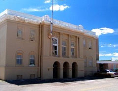
Block
From the record
46 National Register listings published here, 1 of them a National Historic Landmark.
Sources: the National Register database, National Park Service
236 topographic sheets and 2 fire insurance atlases across 1 place.
46 National Register listings published here, 1 of them a National Historic Landmark.
Sources: the National Register database, National Park Service
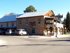
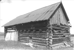
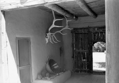
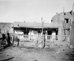
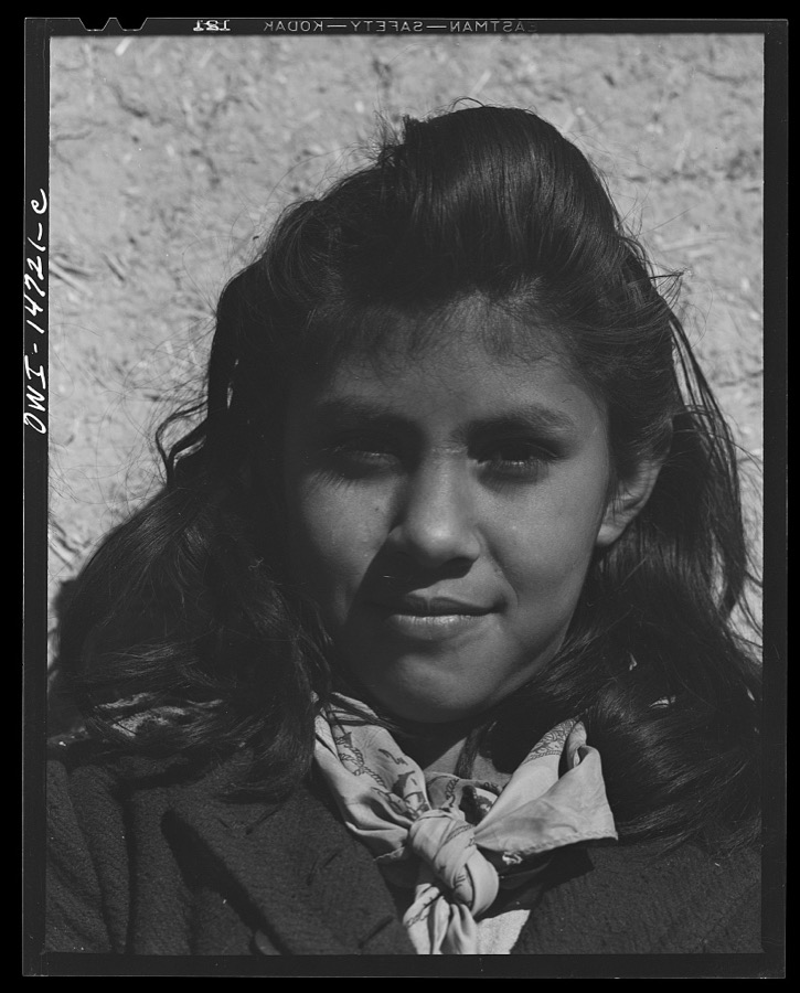
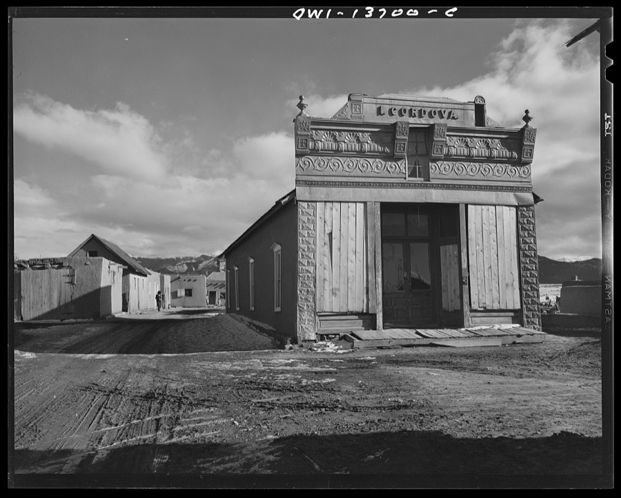
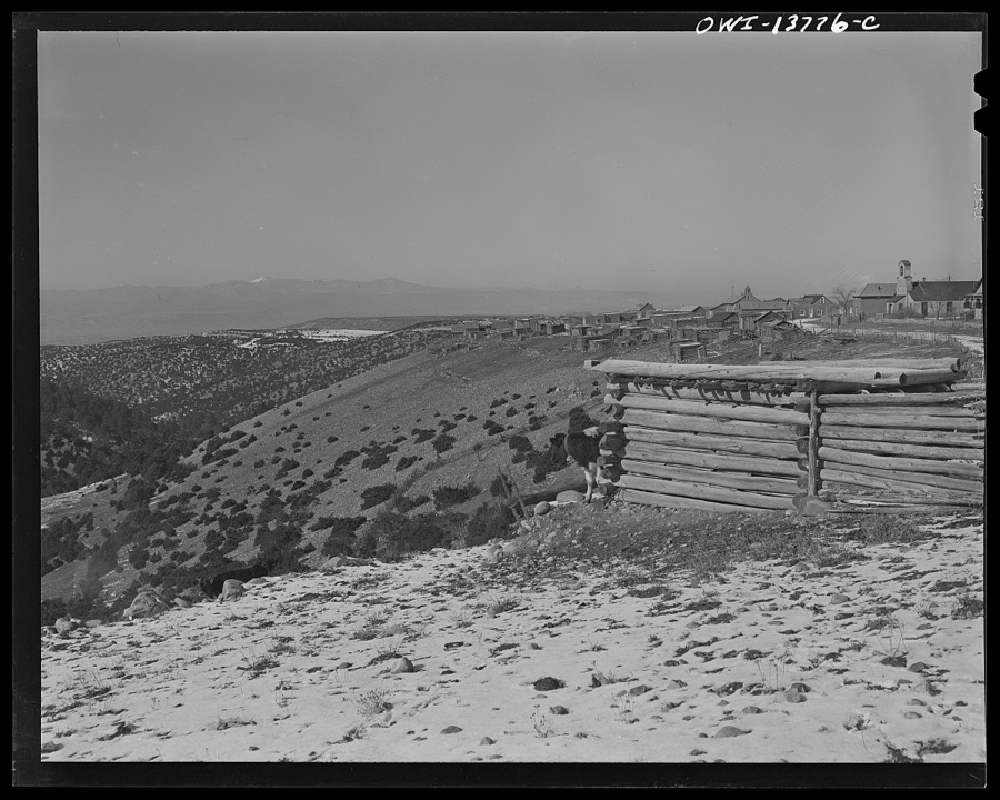
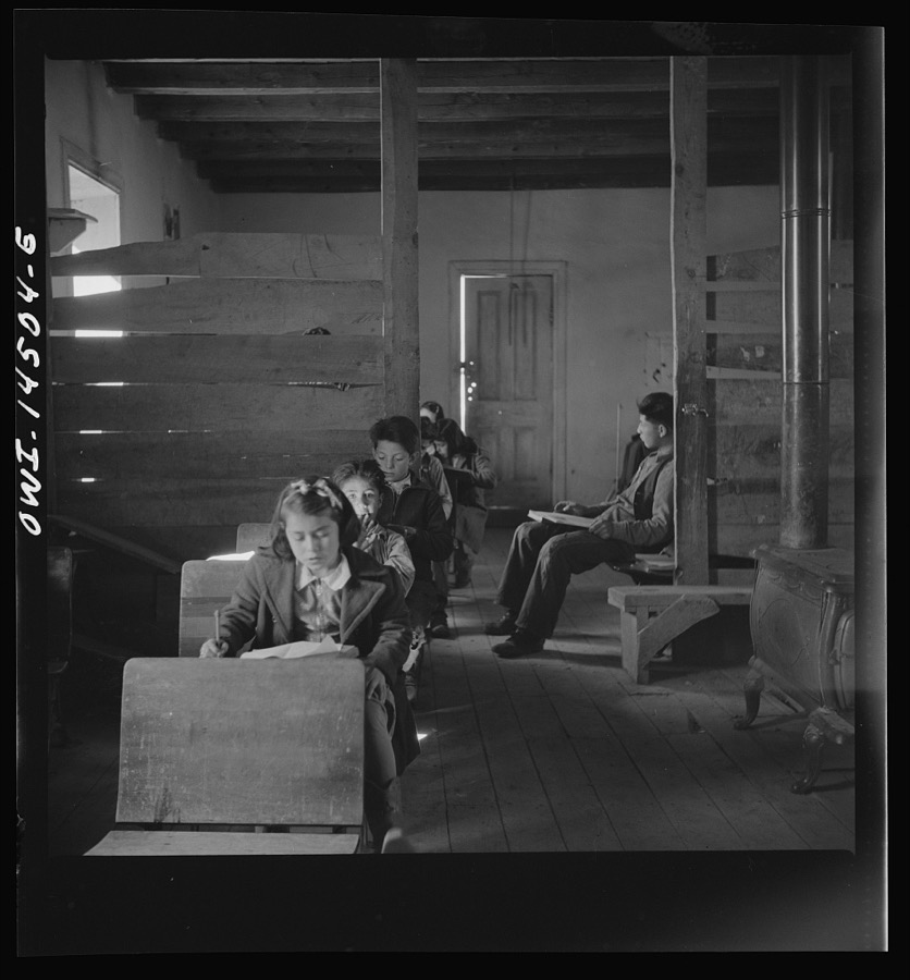
Taken for the Office of War Information and the Farm Security Administration, who photographed the country between 1935 and 1944. Works of United States government photographers, with no known restriction on use. Each opens its catalogue record.
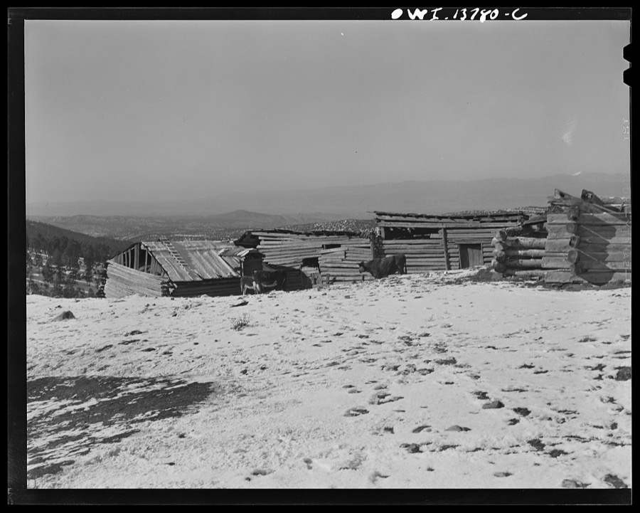
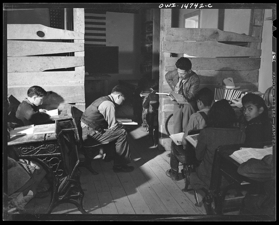
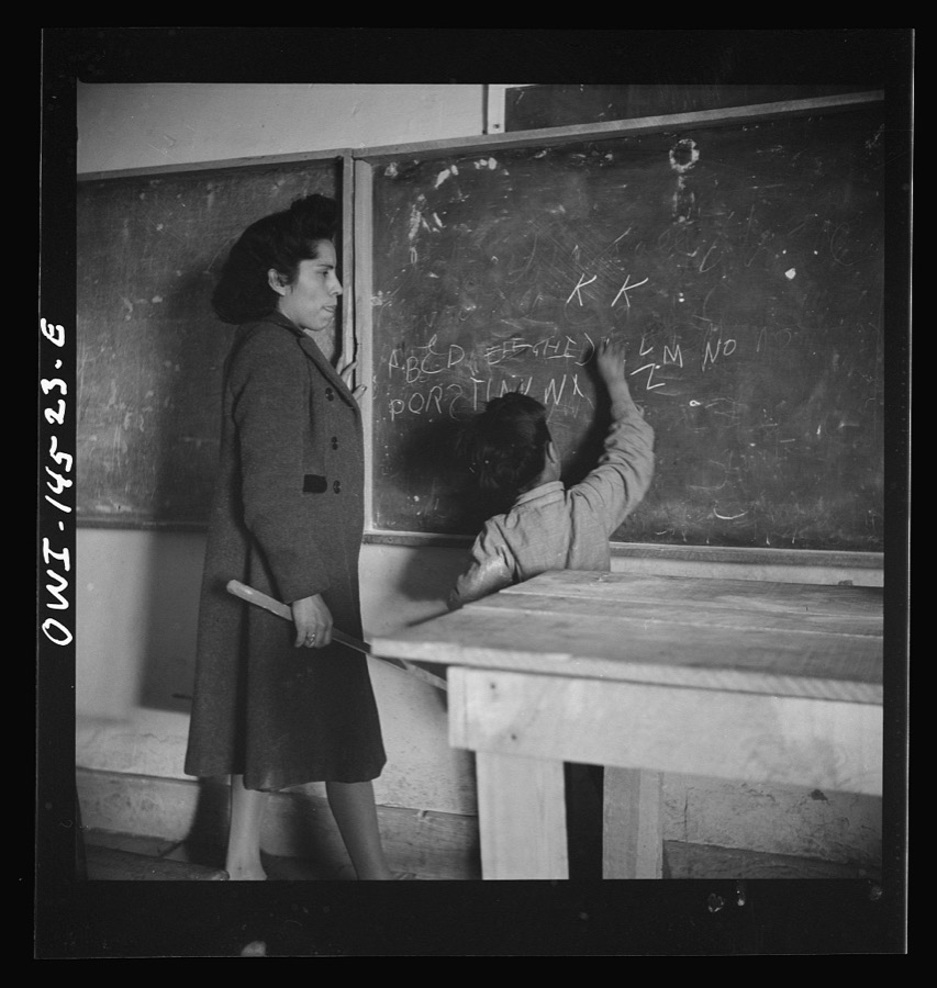
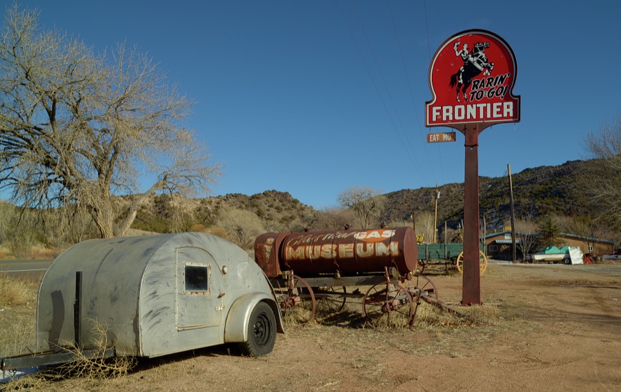
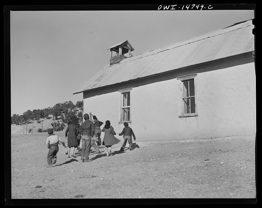
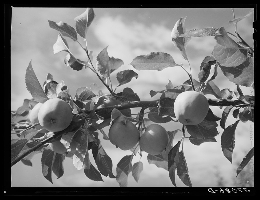
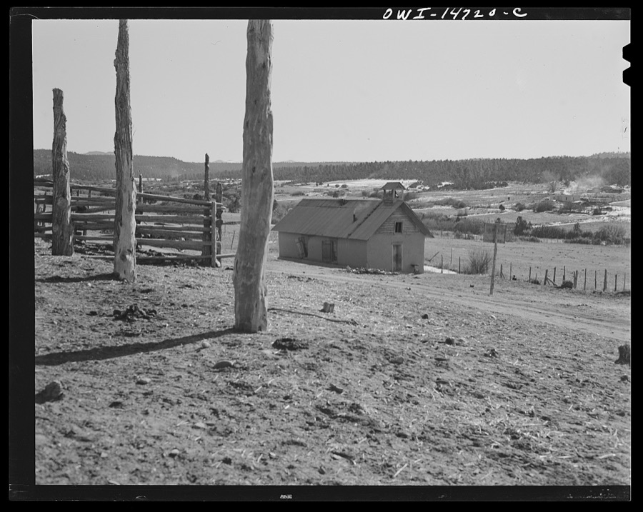
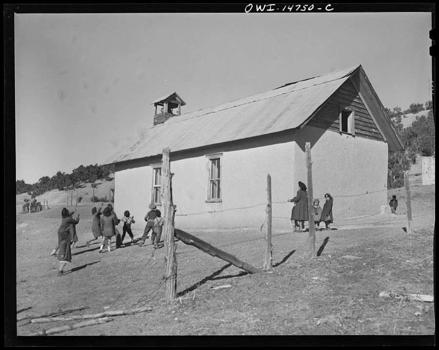
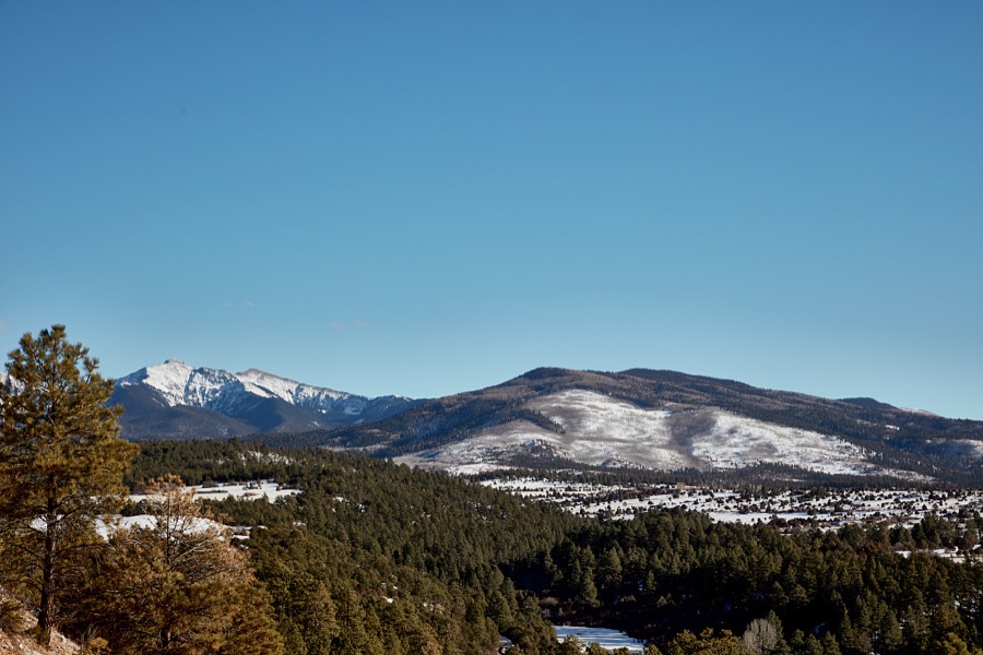
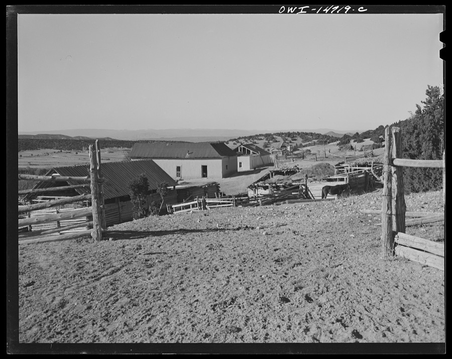
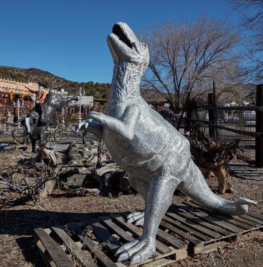
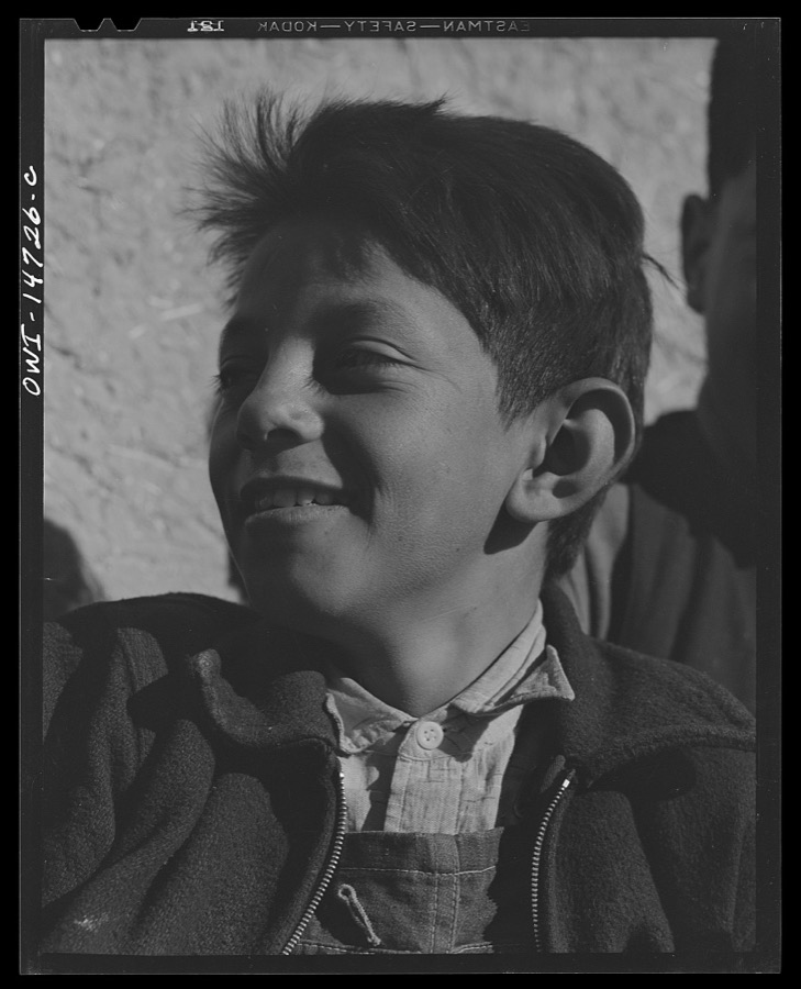
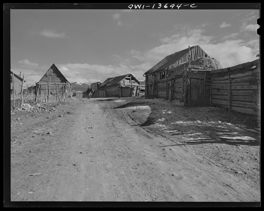
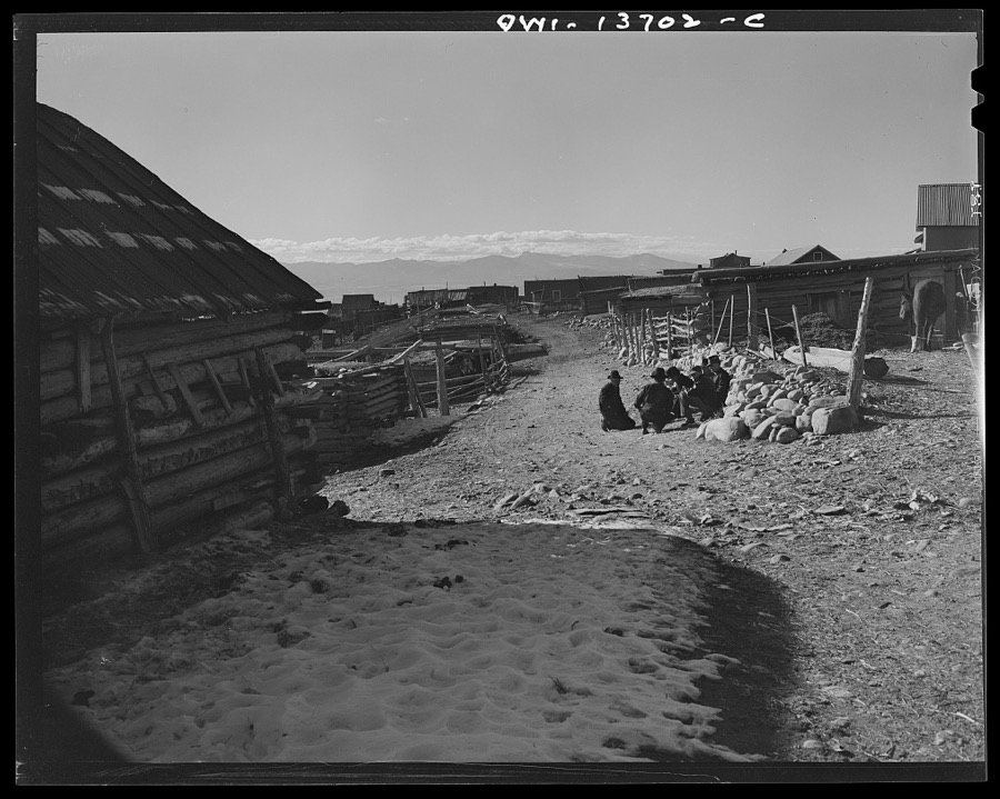
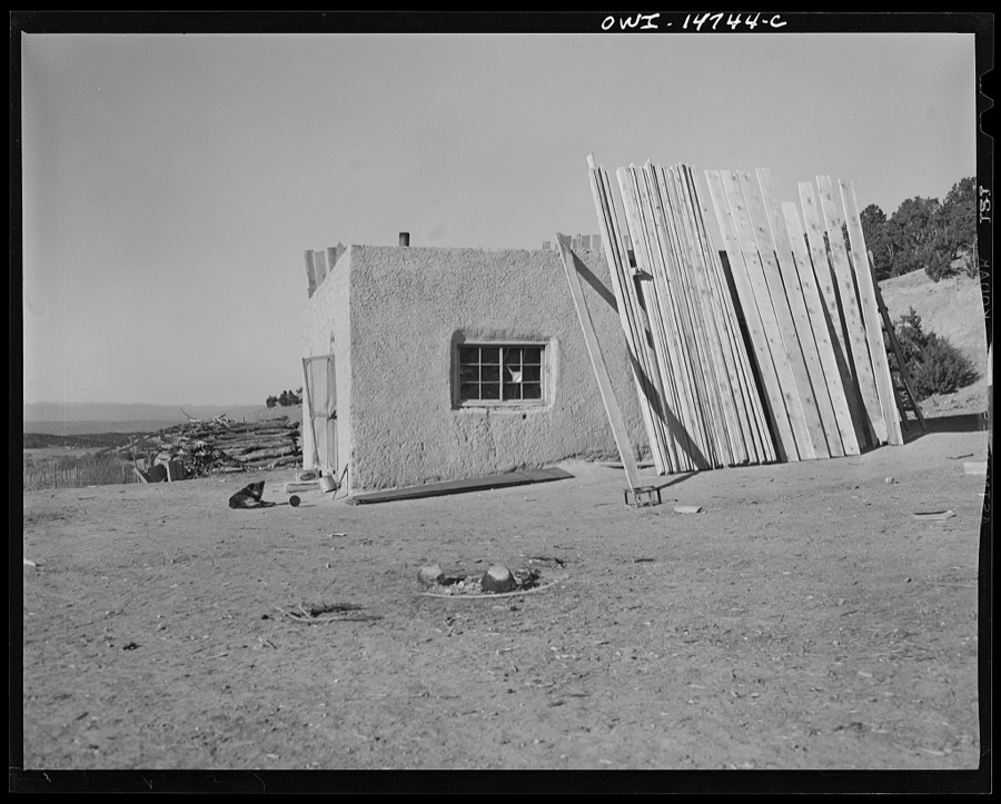

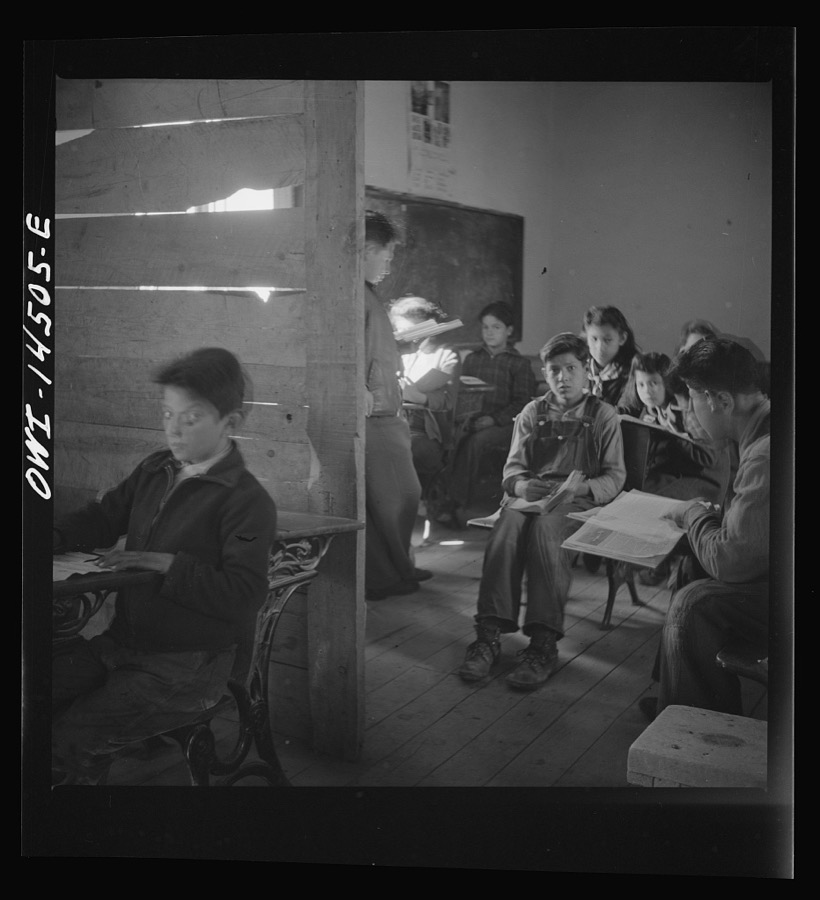
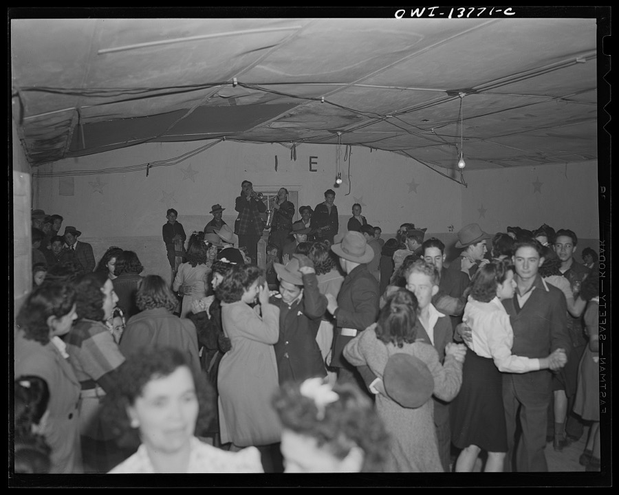
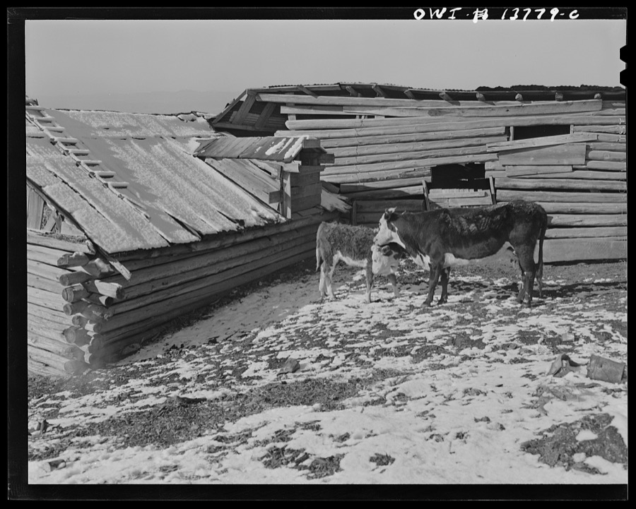
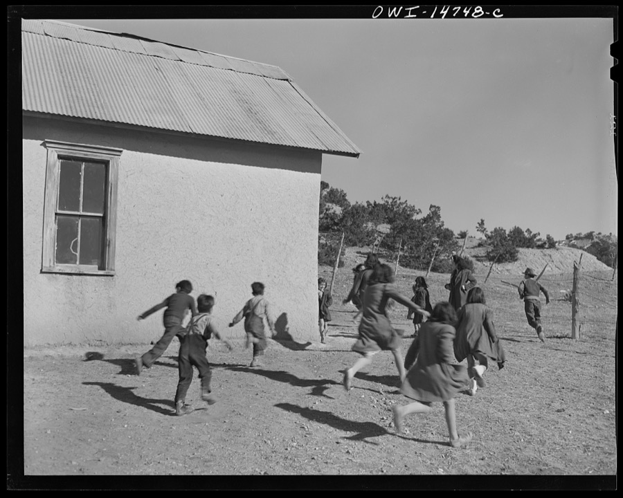
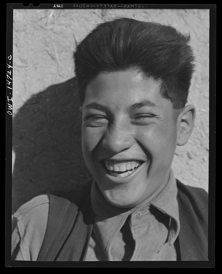

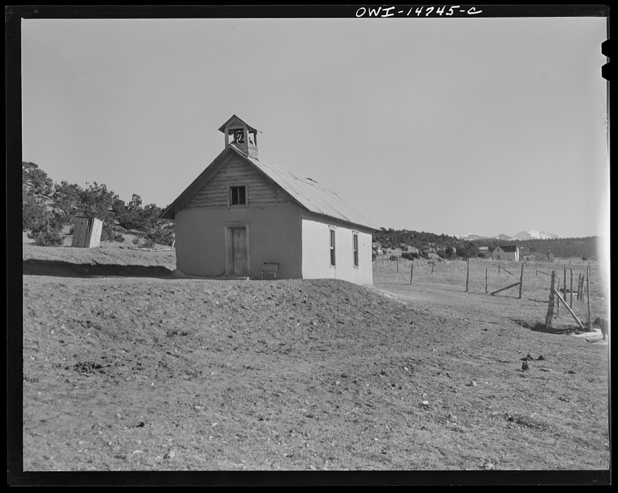
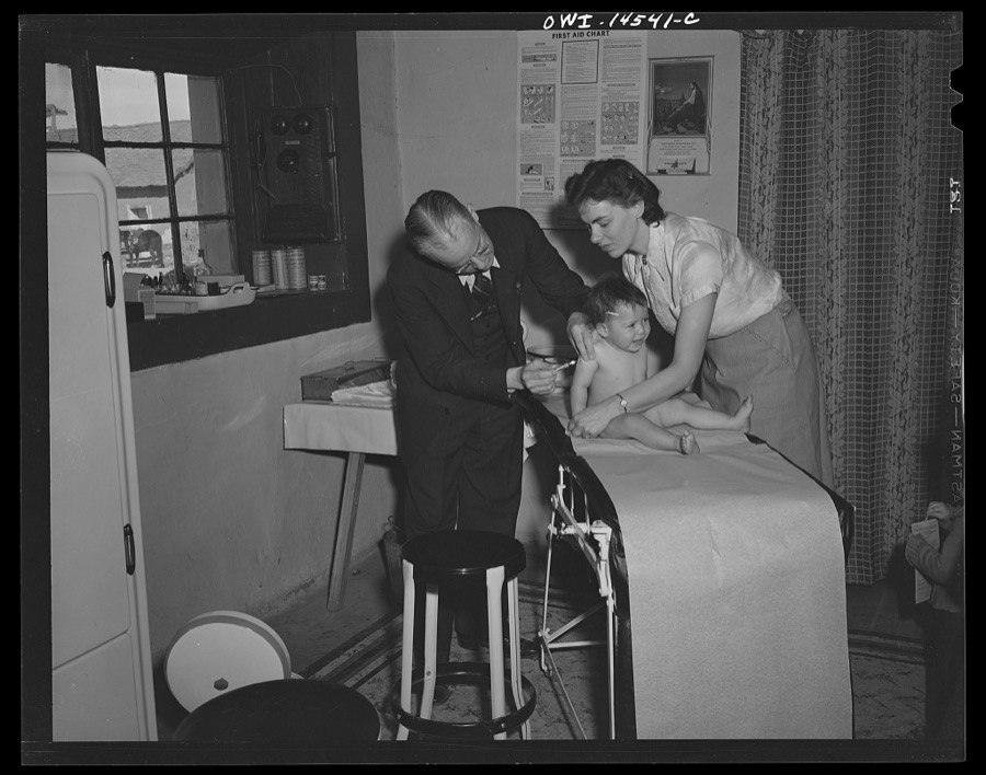
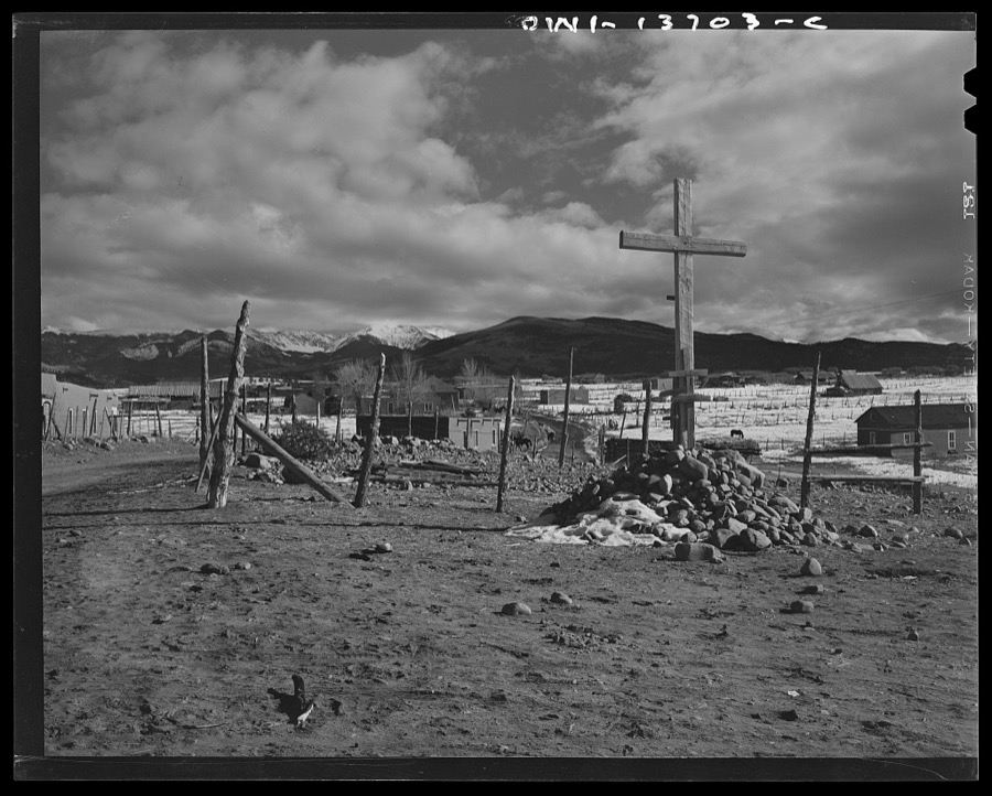
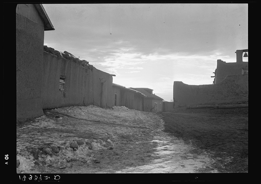
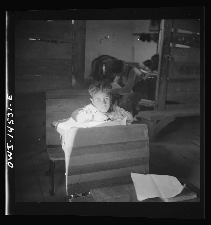
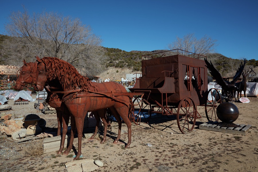
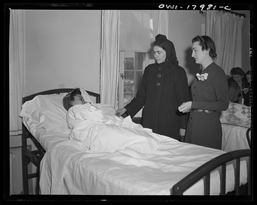
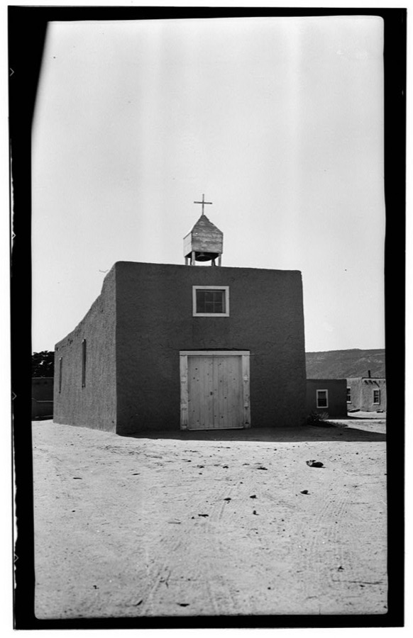
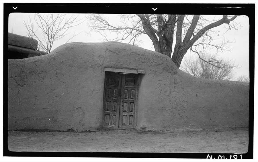
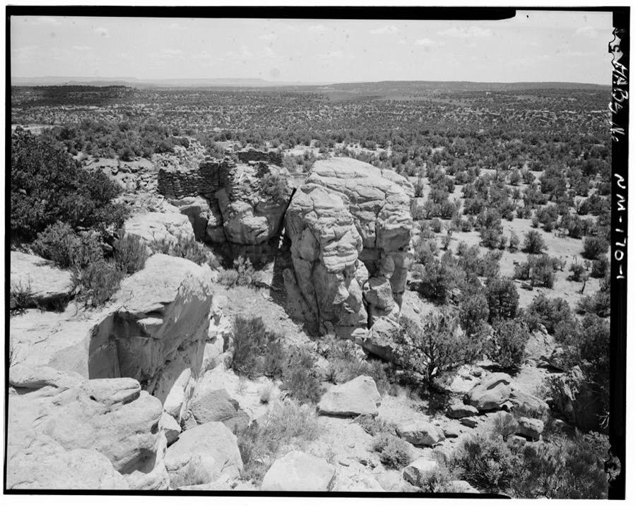
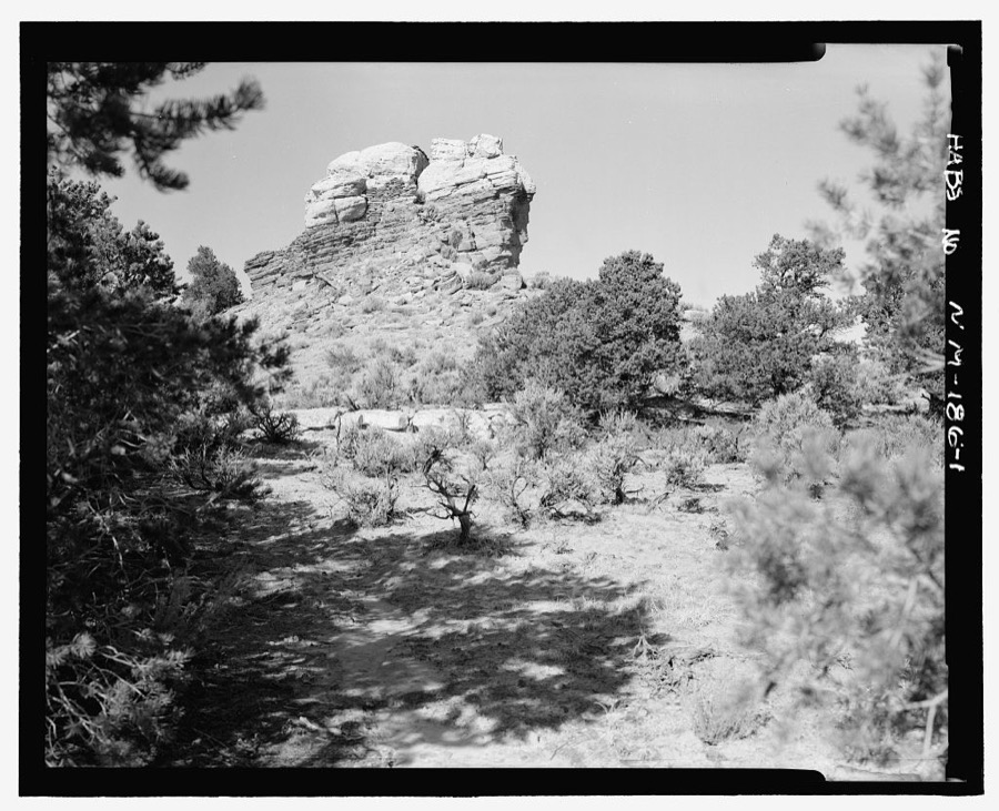
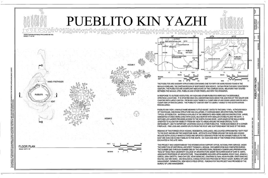
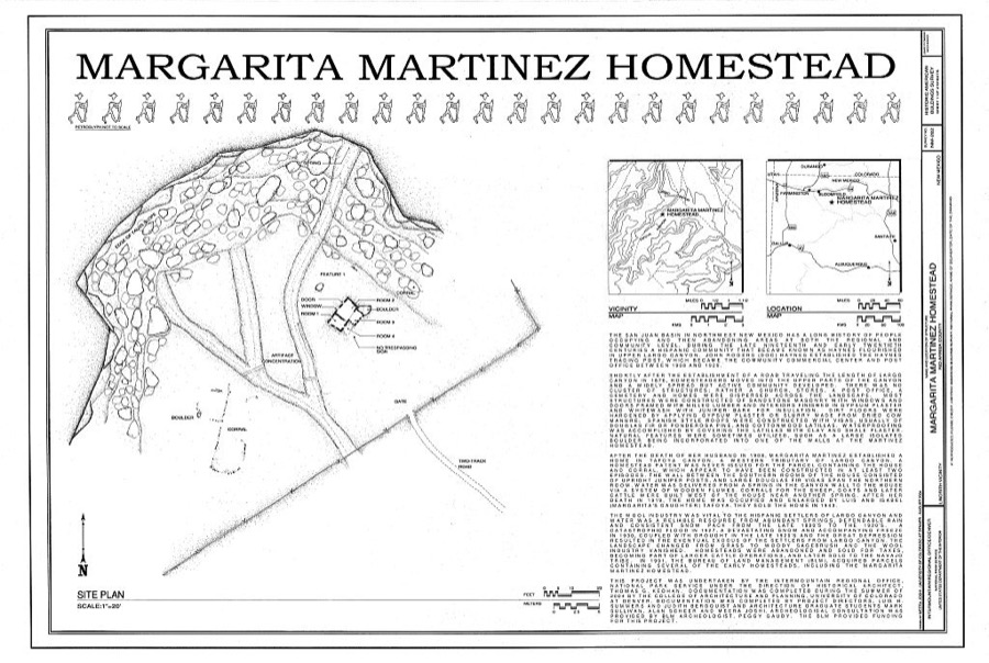
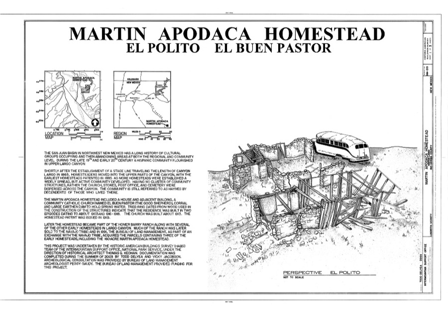
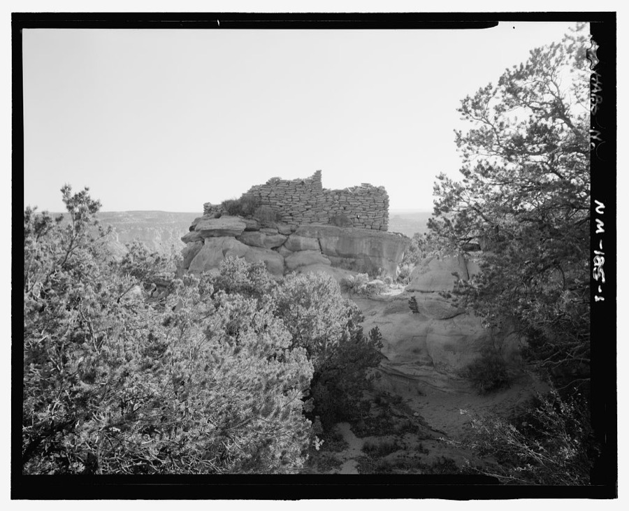
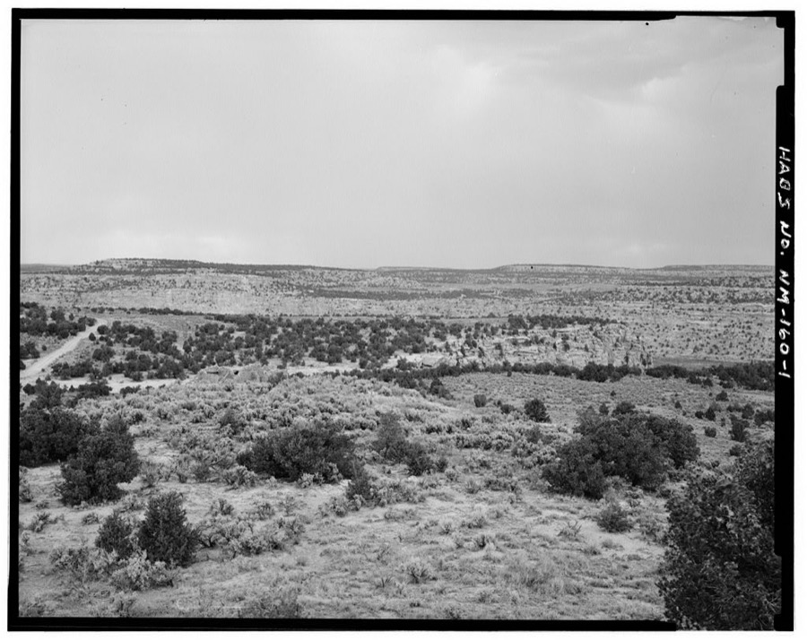
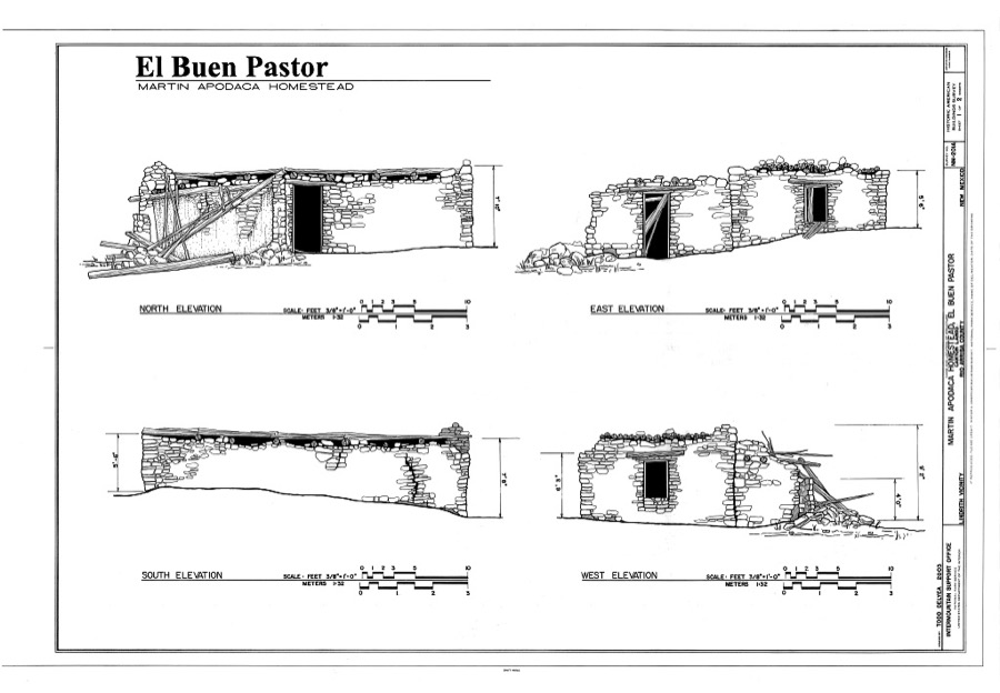
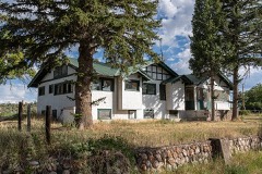
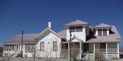
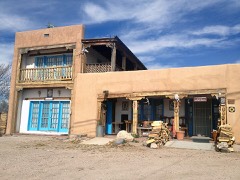
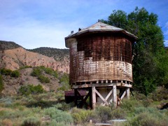
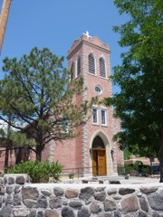
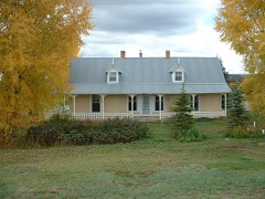
Every property in this county listed on the National Register of Historic Places, with the year it was listed and the federal nomination document.
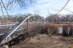
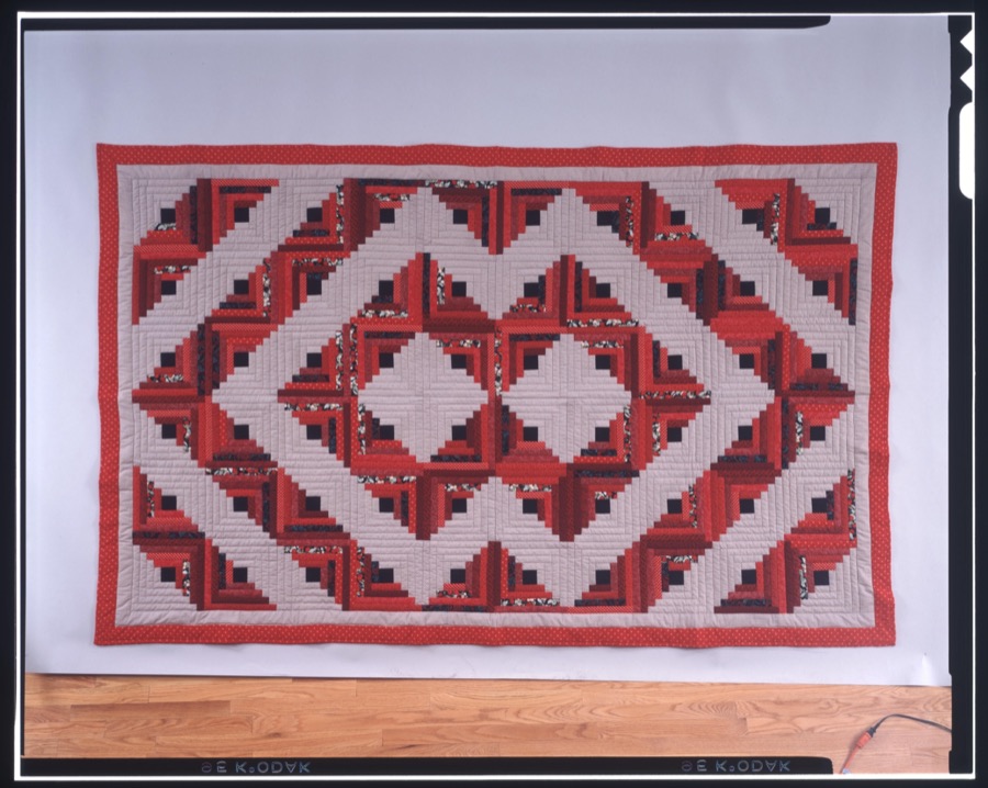
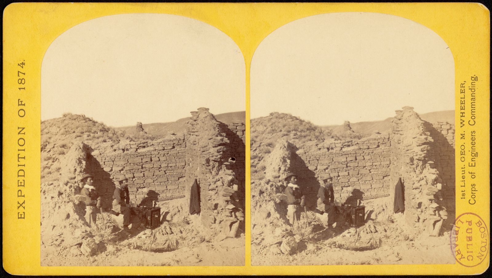
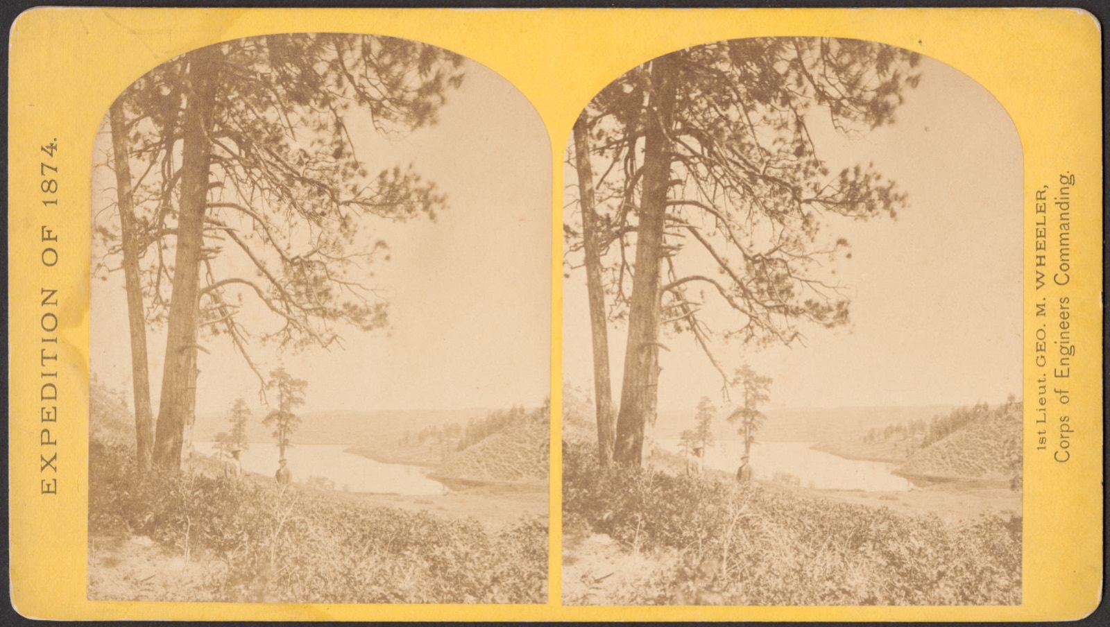
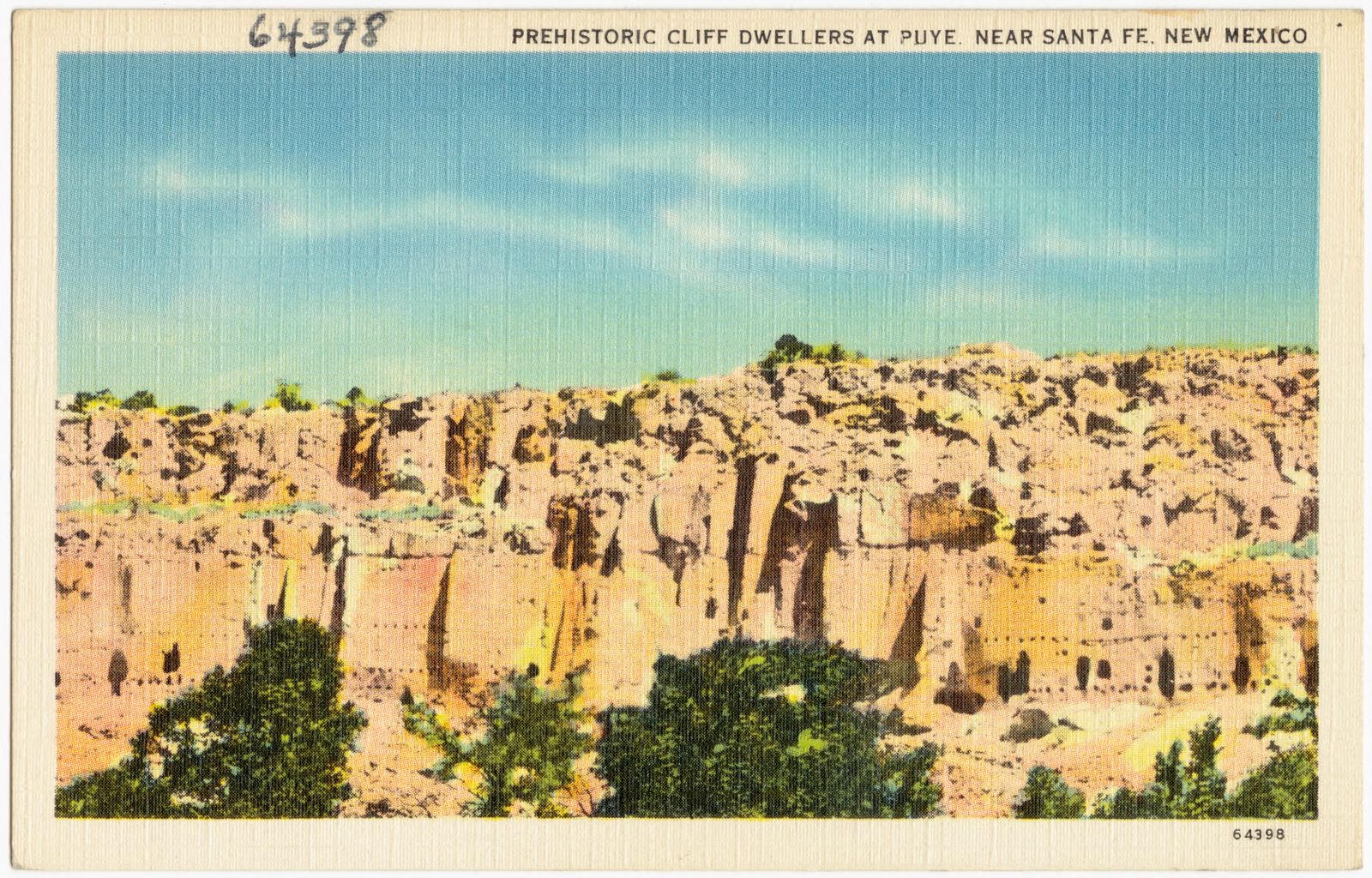
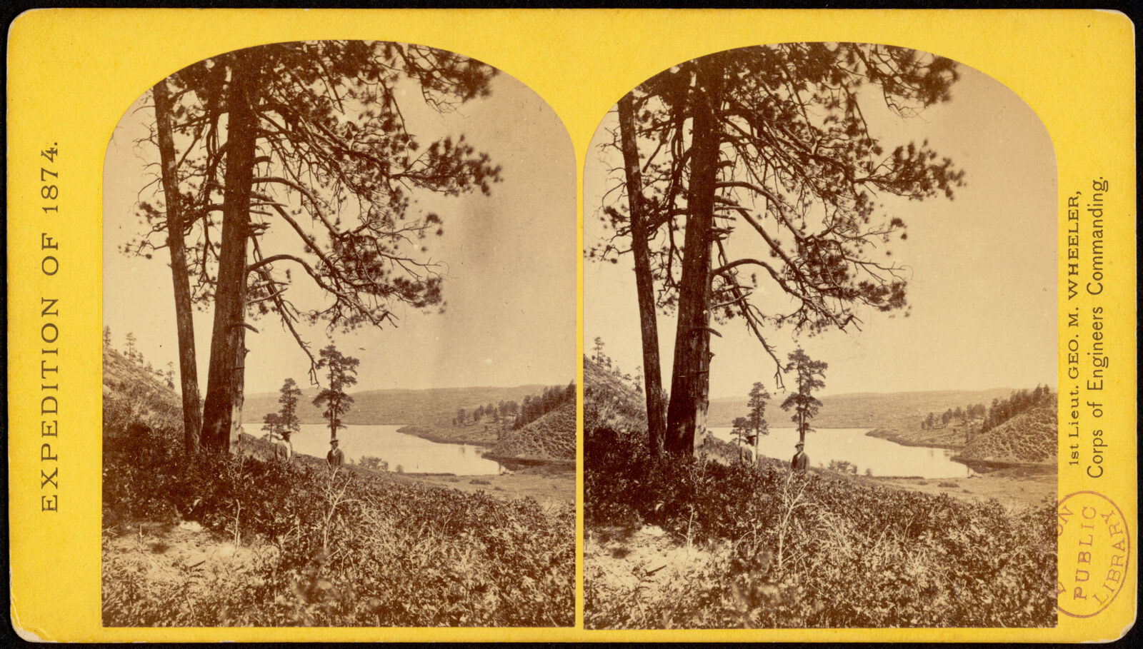
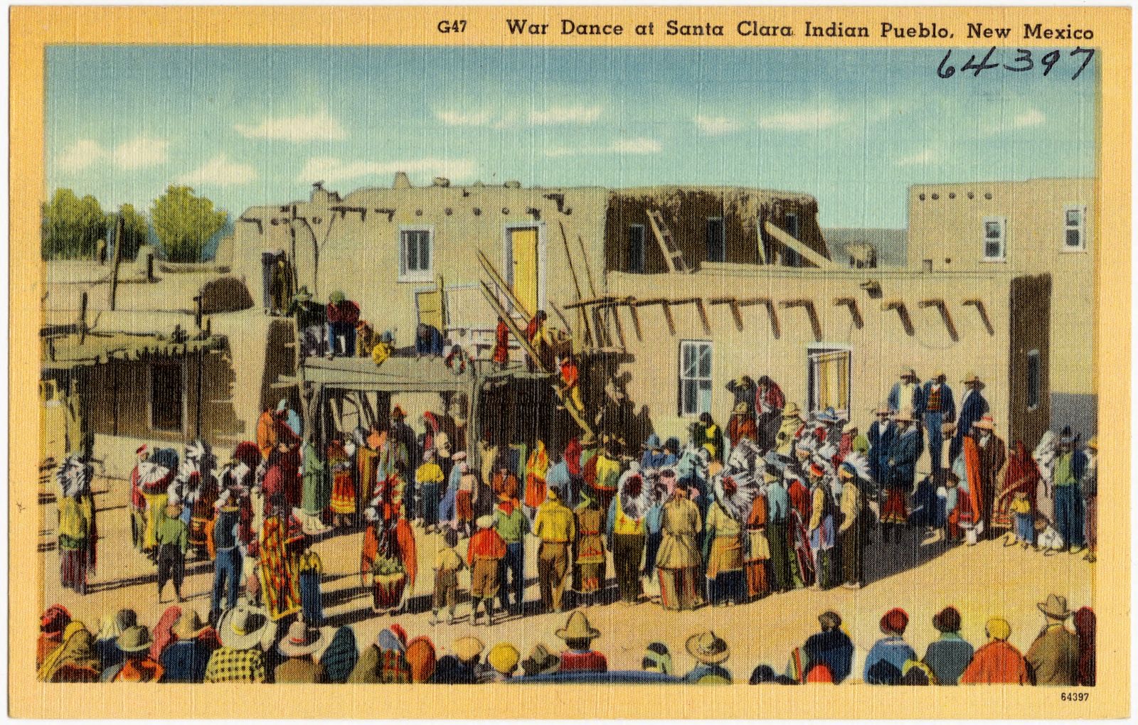
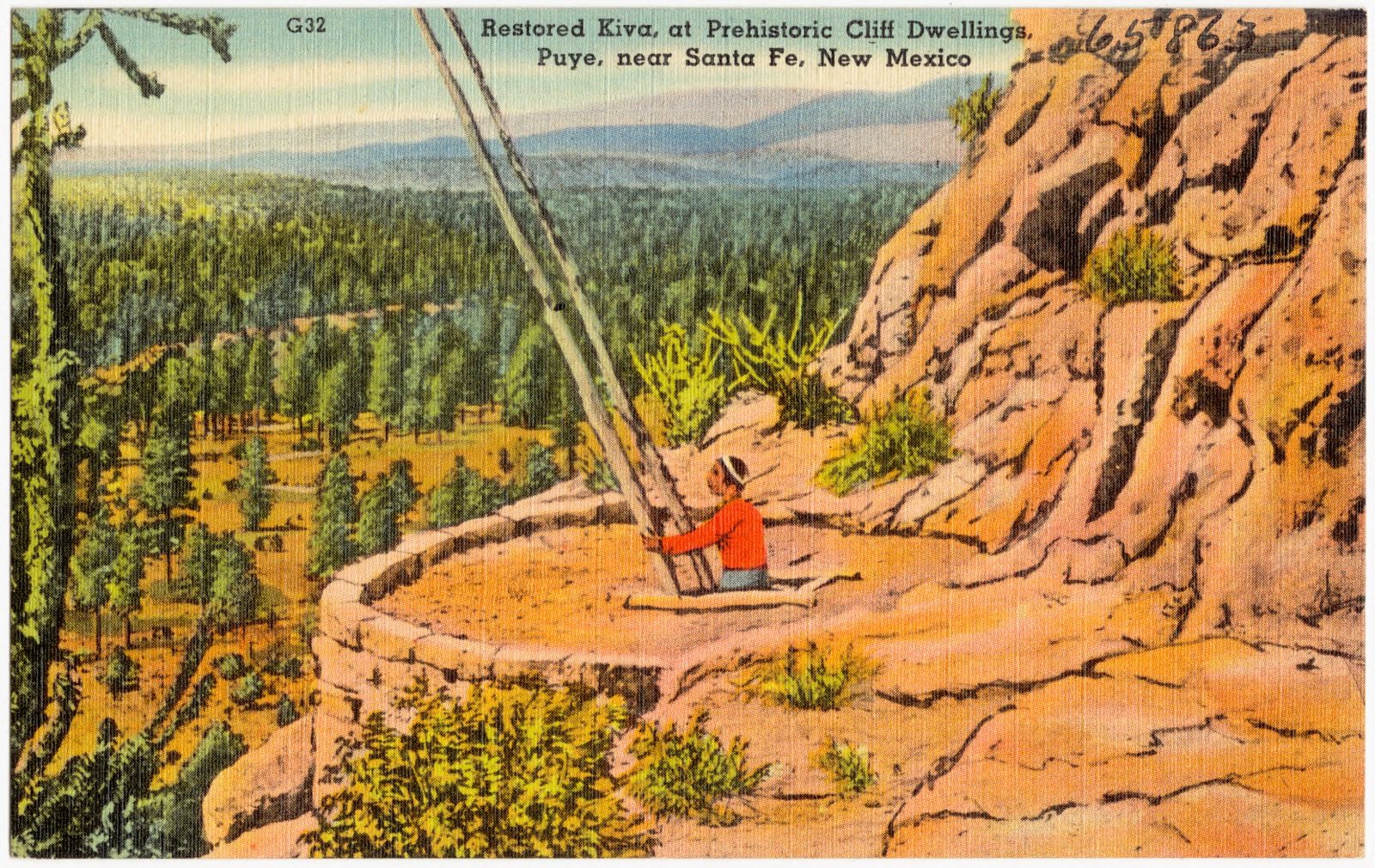
Selected from the Digital Public Library of America's 20 image records catalogued for this county. Every one shown here carries a public-domain status or a licence that permits reuse on a site that carries advertising; non-commercial, share-alike and restricted images are excluded. The selection is spread across the county's towns (at most eight per town), so no single institution's bulk upload crowds out the rest. Each opens the holding library's record, and the complete set at the Digital Public Library of America is one click away.
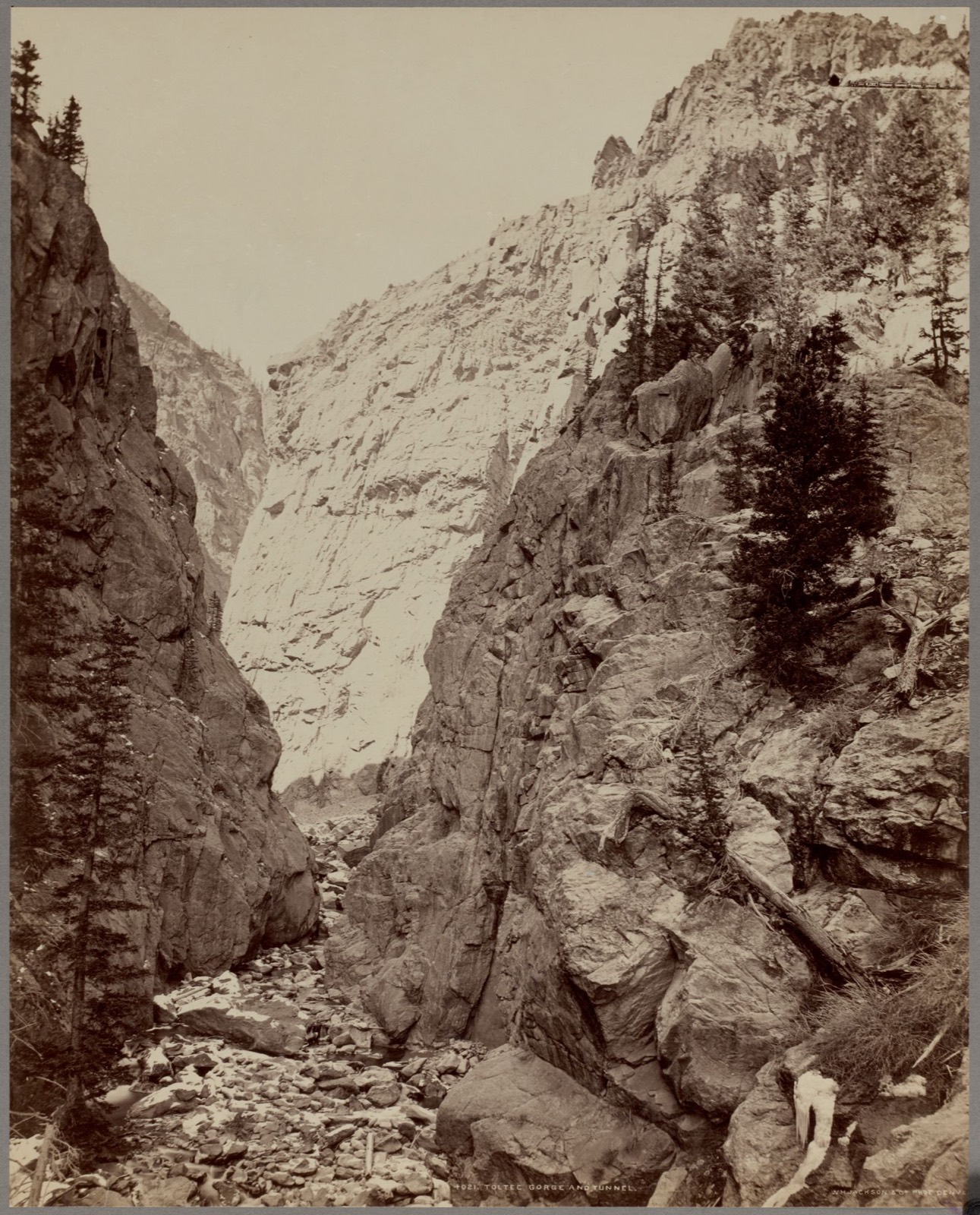
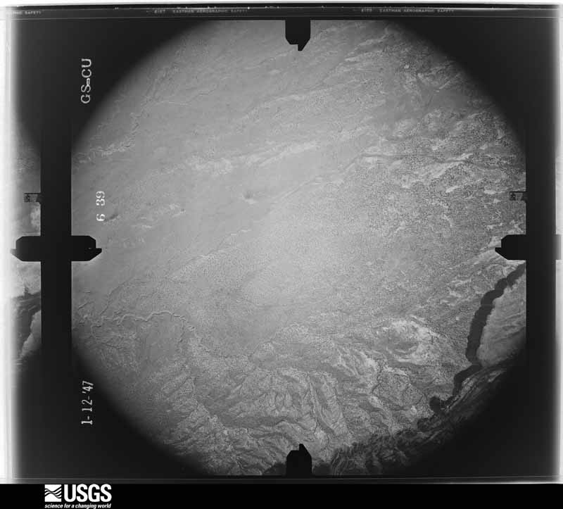
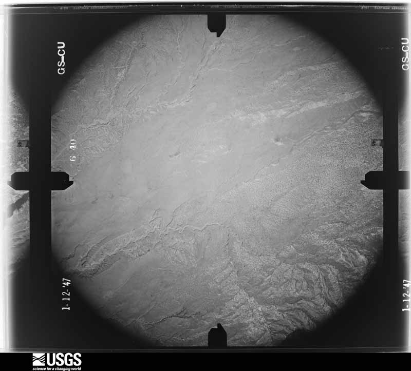
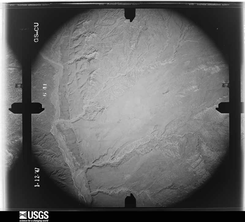
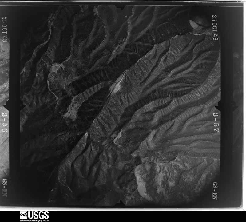
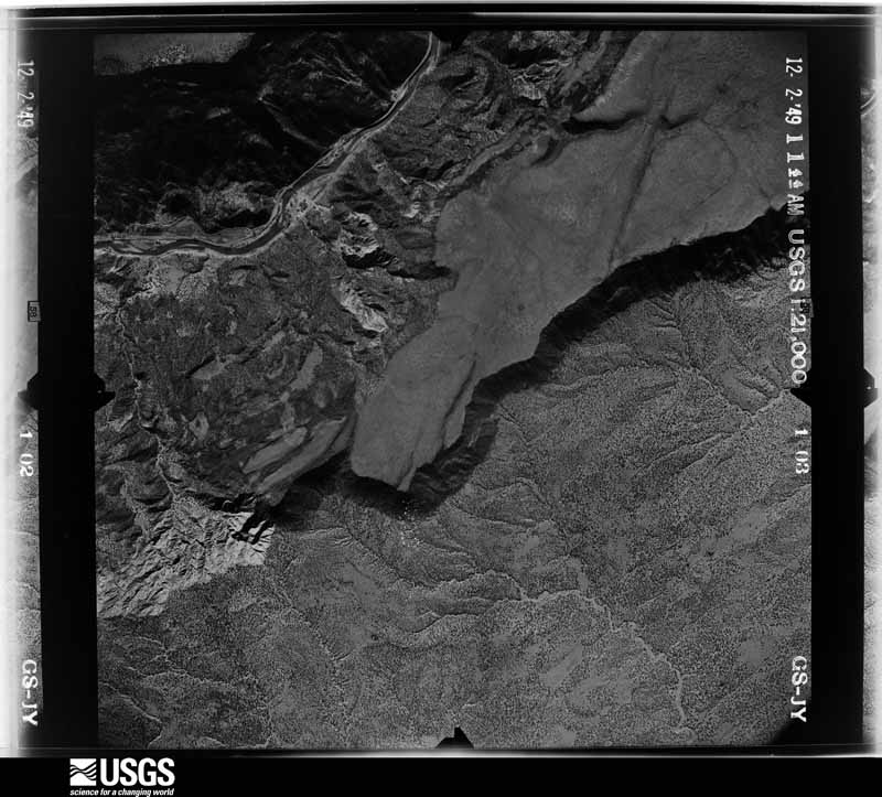
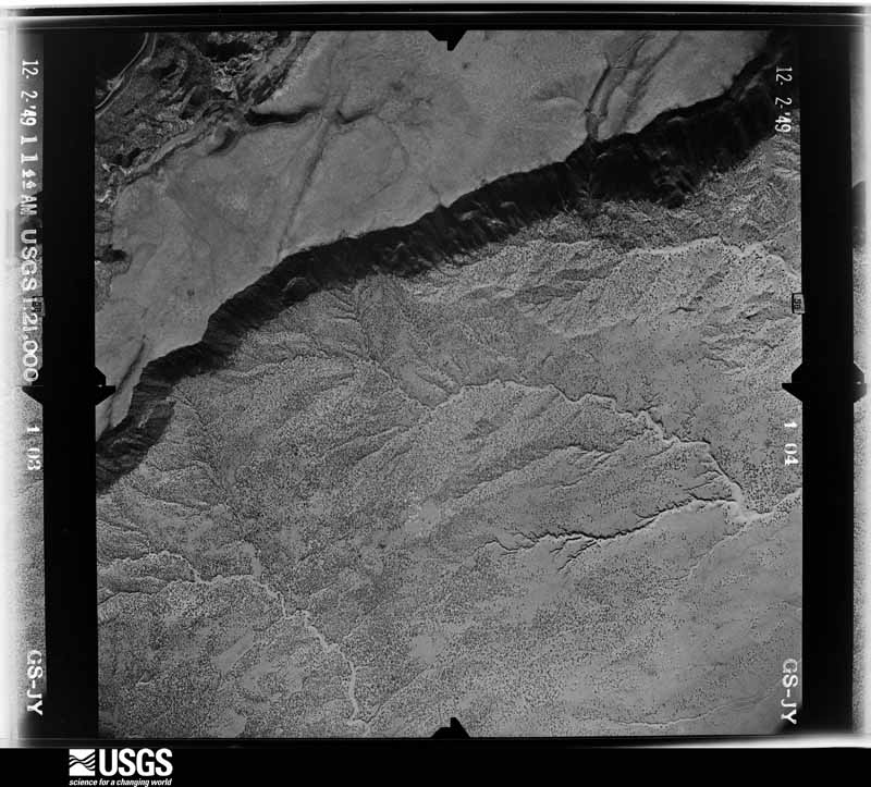
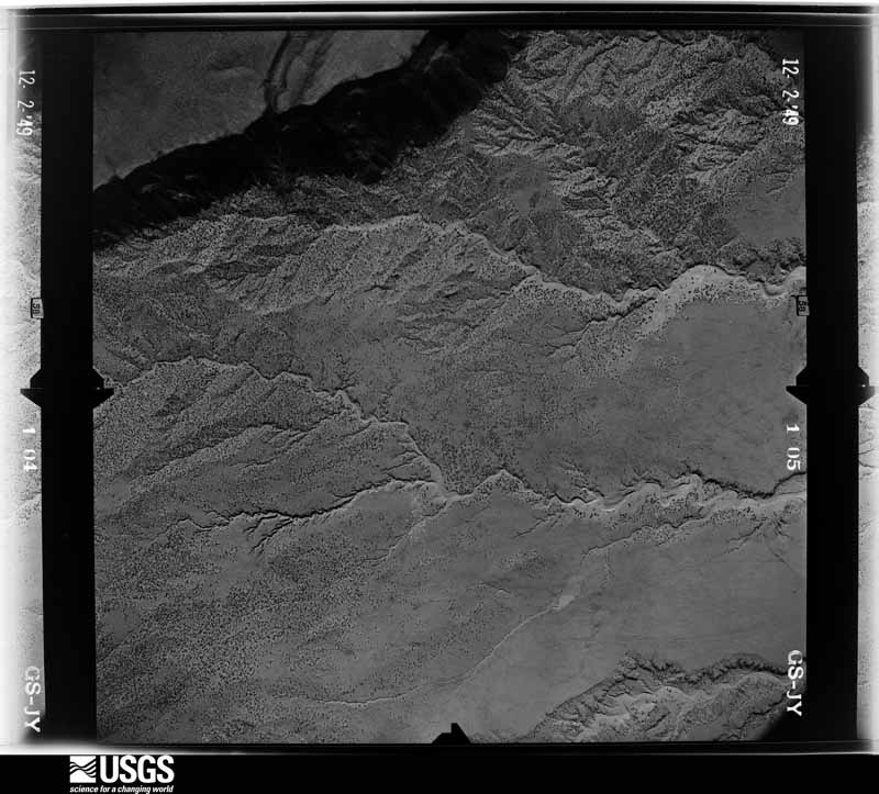
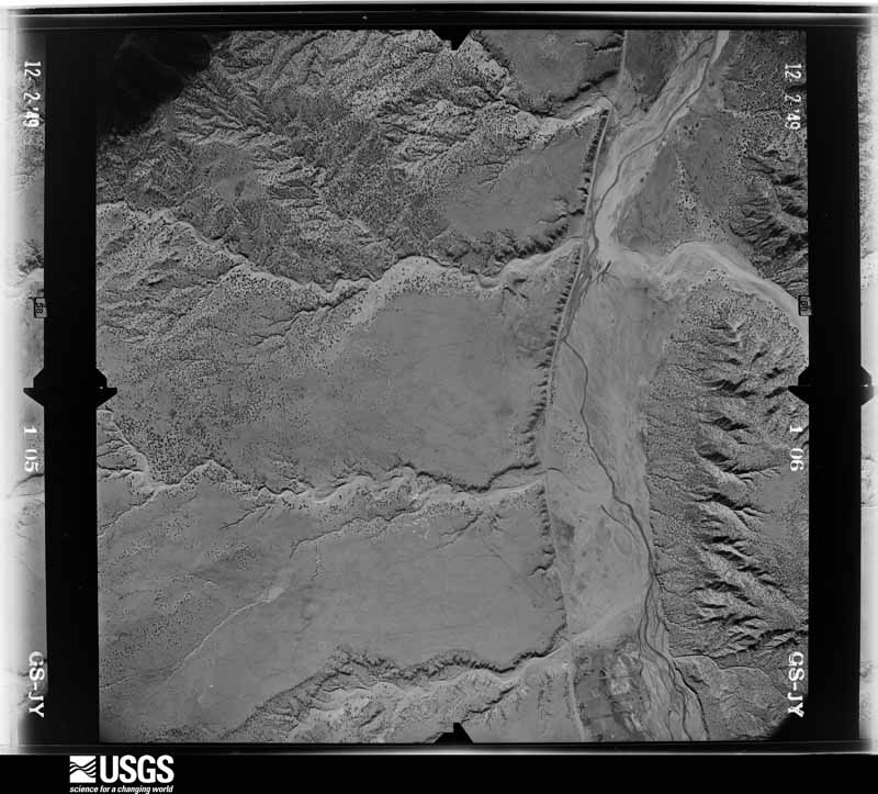
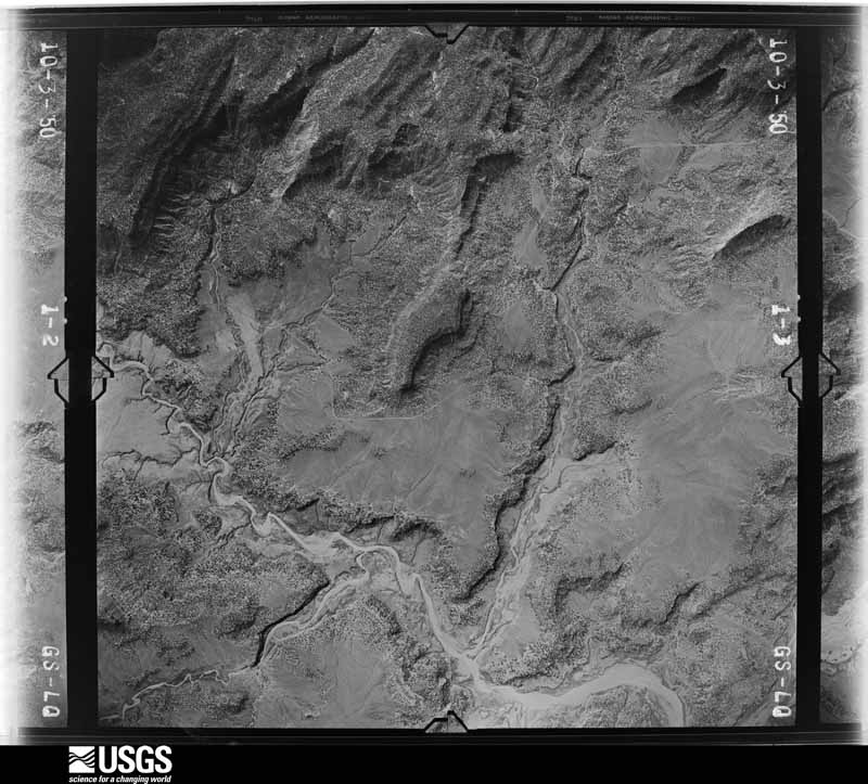
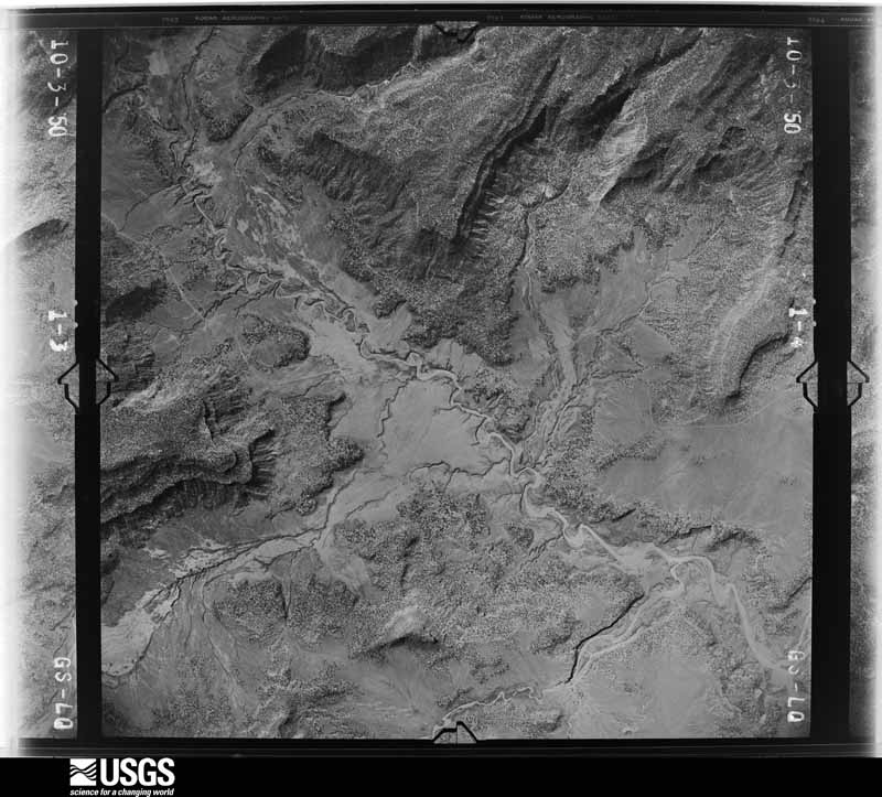
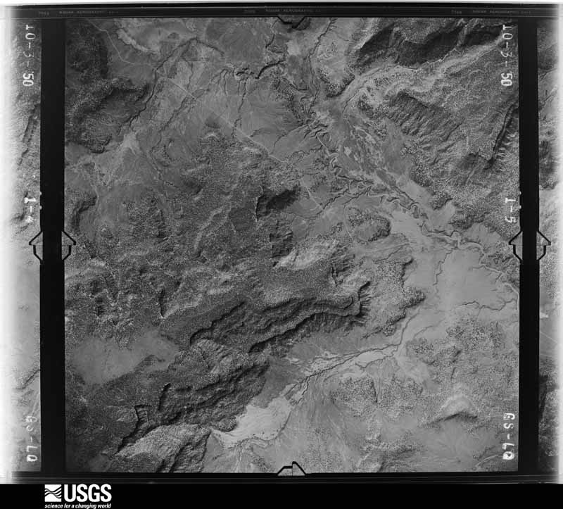
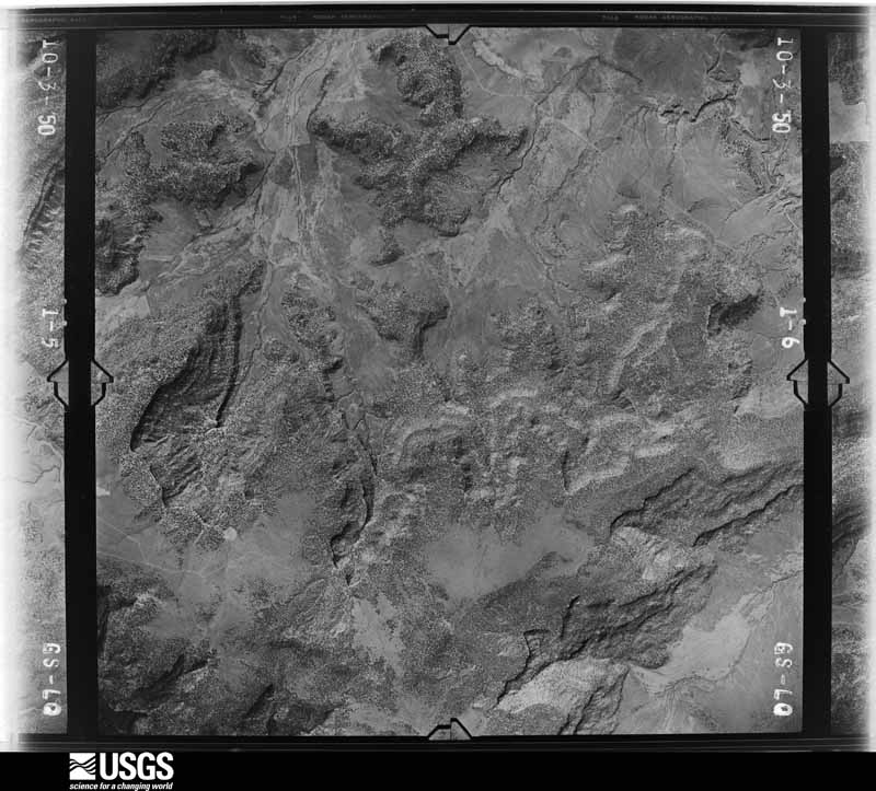
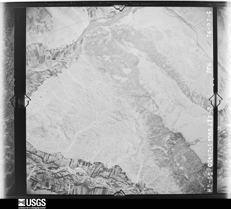
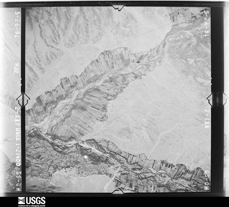
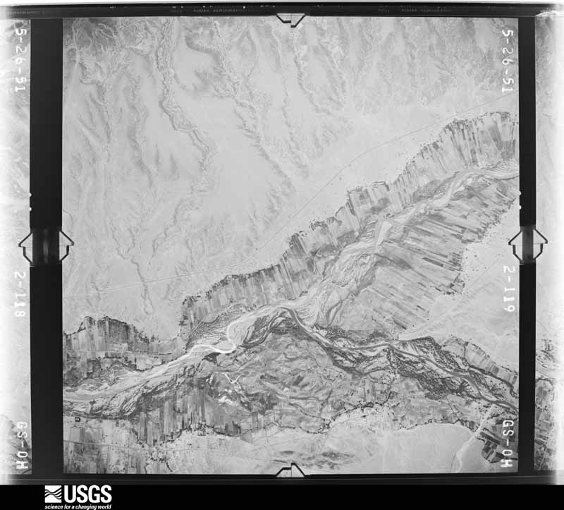
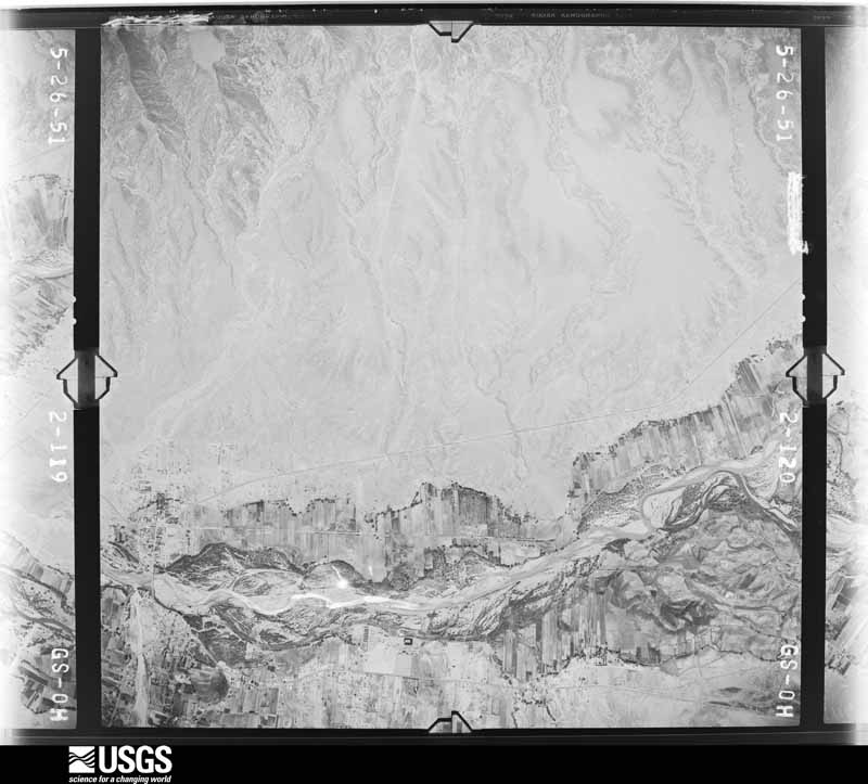
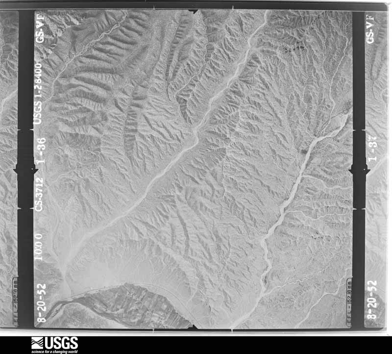
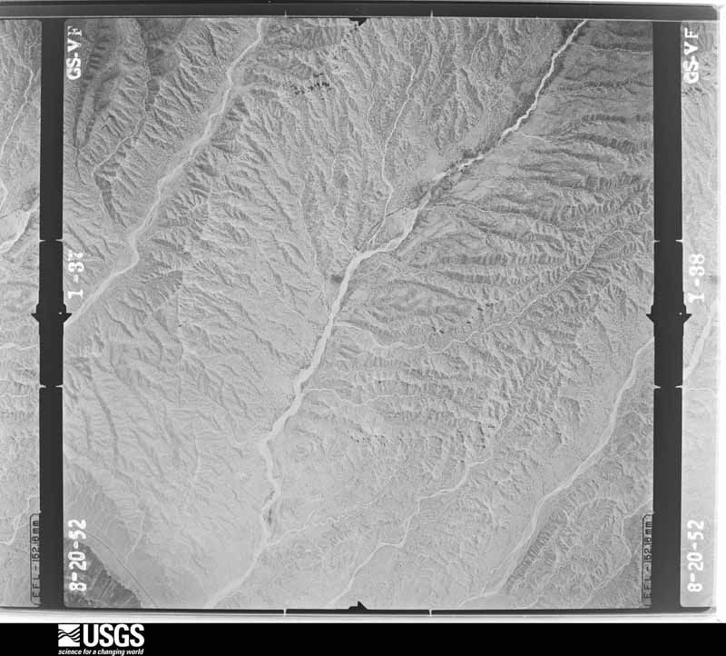
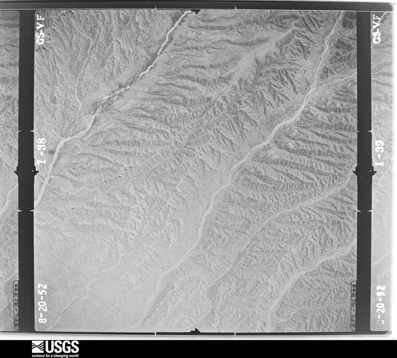
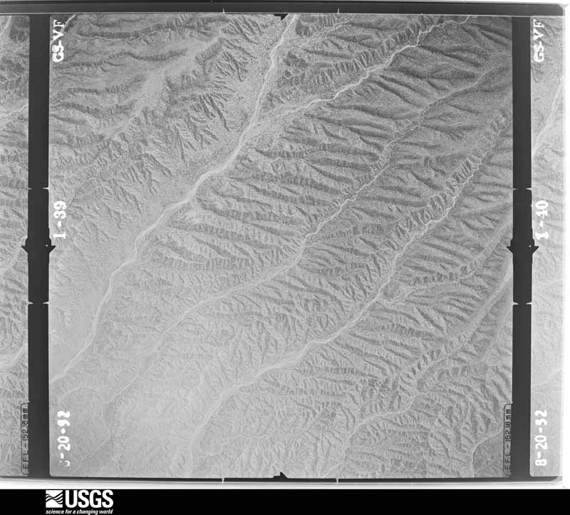
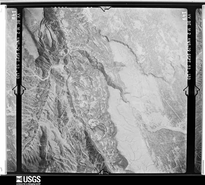
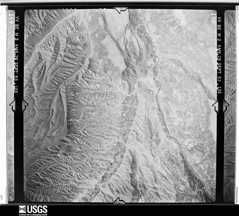
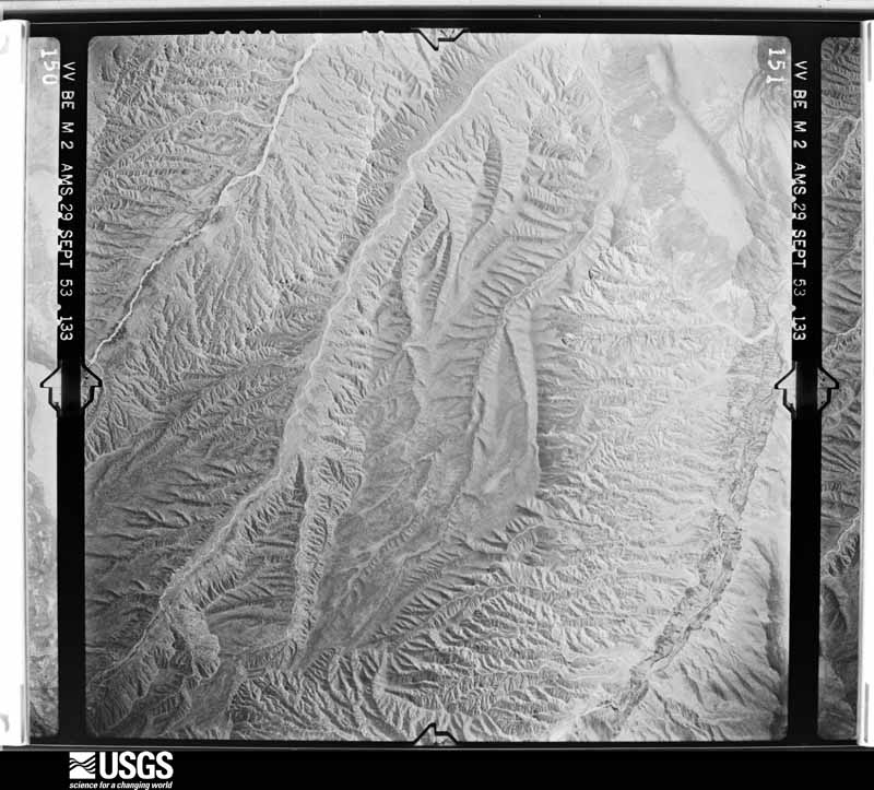
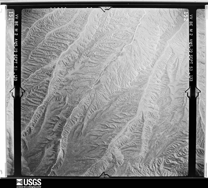
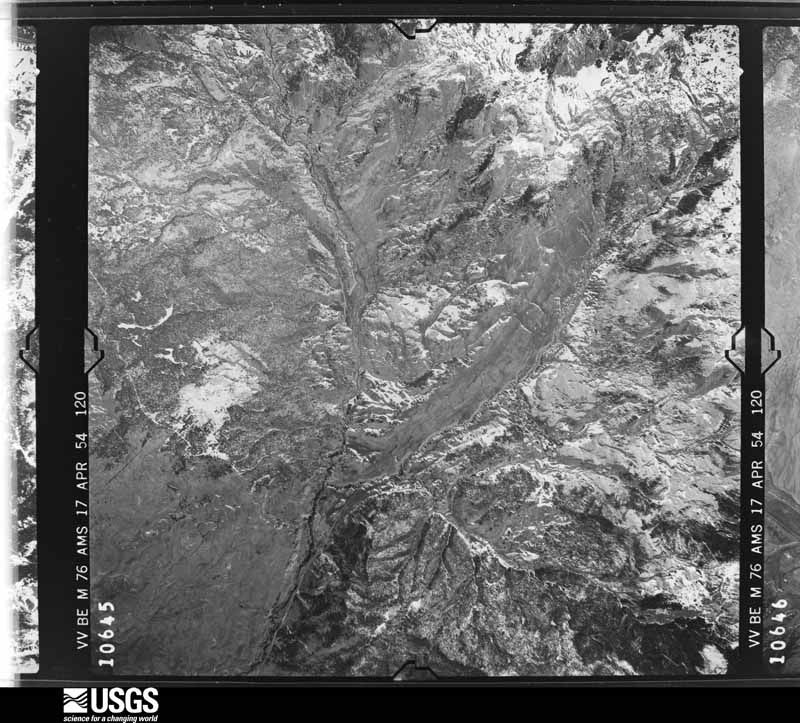
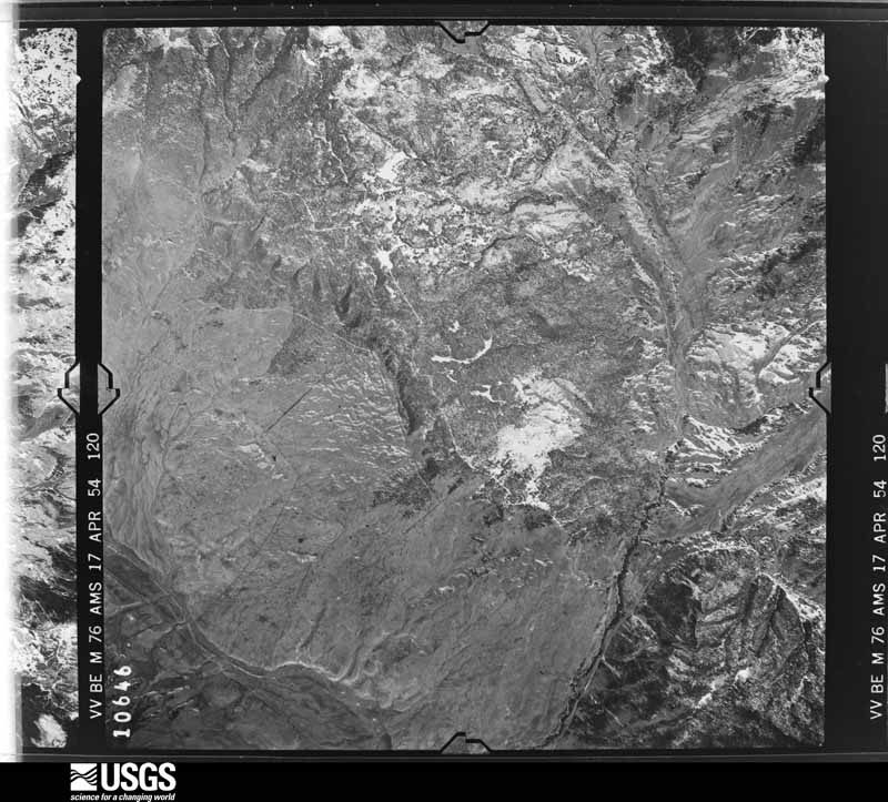
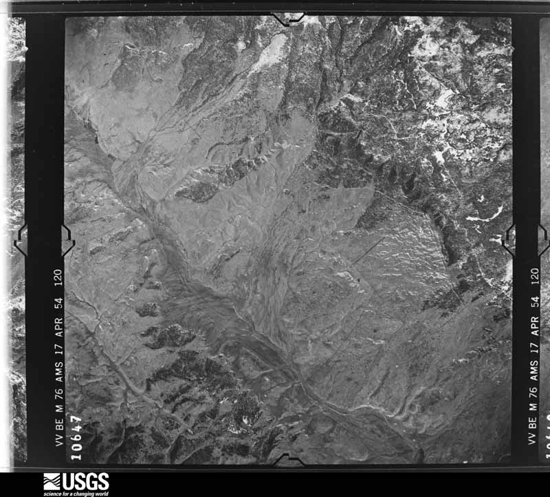
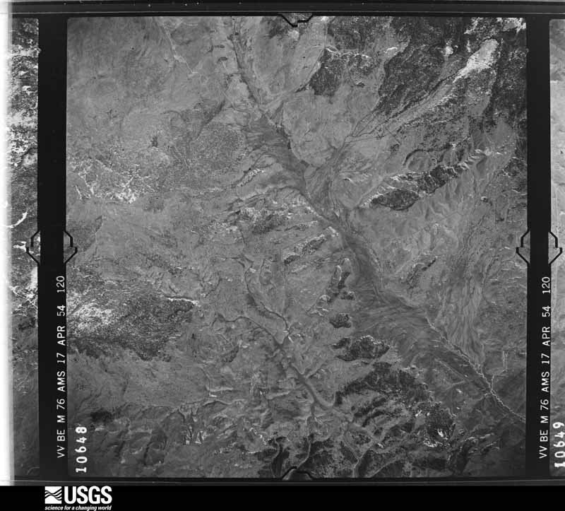
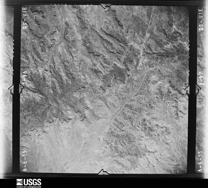
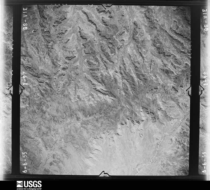
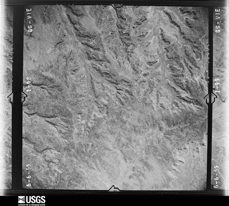
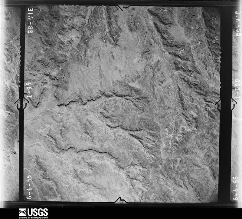
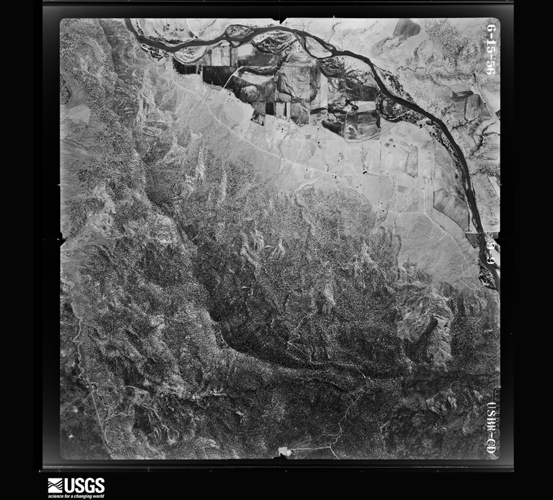
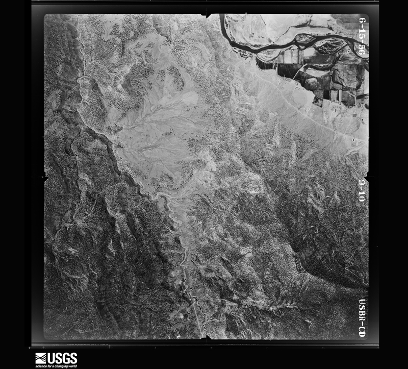
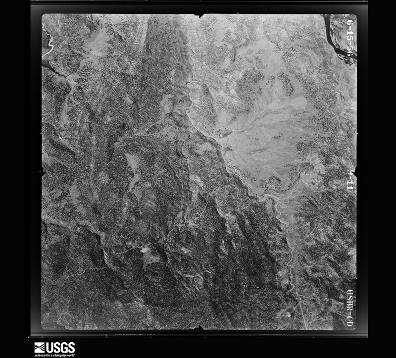
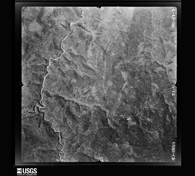
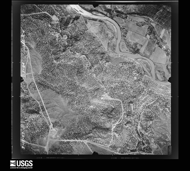
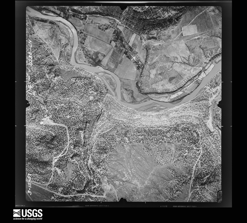
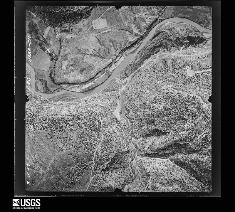
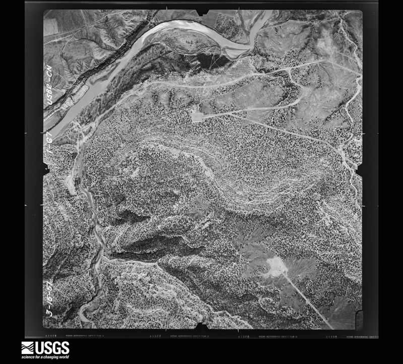
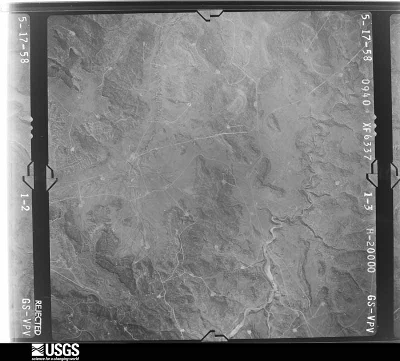
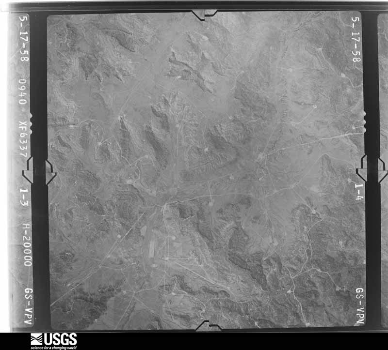
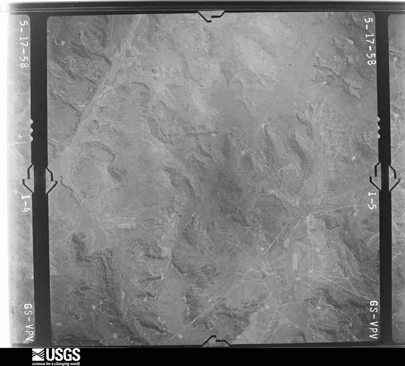
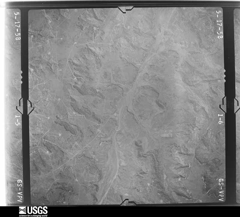
Flown by the U.S. Geological Survey between 1937 and 1989, the Aerial Photo Single Frames collection is the definitive mid-century view of the land: fields, roads and rivers as the camera saw them. The Survey holds 10,868 frames inside the rectangle that bounds this county; the 48 frames below were taken over the county itself, chosen across the decades of flights (at most four a year from that rectangle), so one flight cannot crowd out the rest. The full set is free to browse and download at EarthExplorer under the dataset Aerial Photo Single Frames.
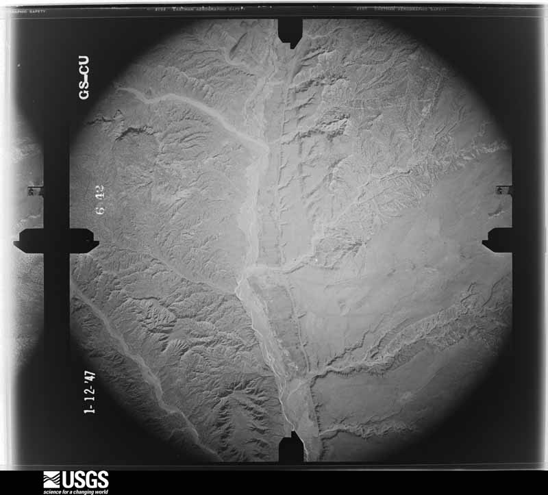
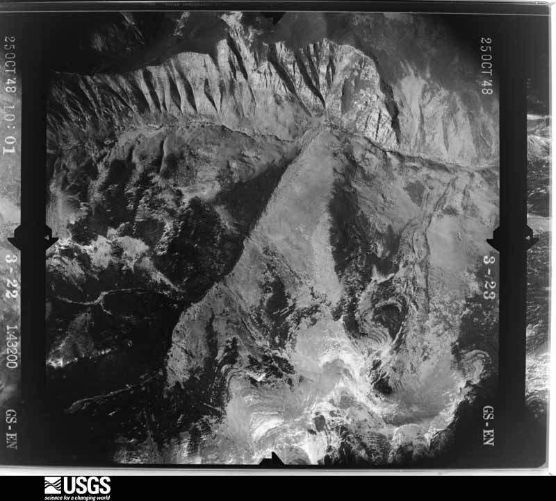
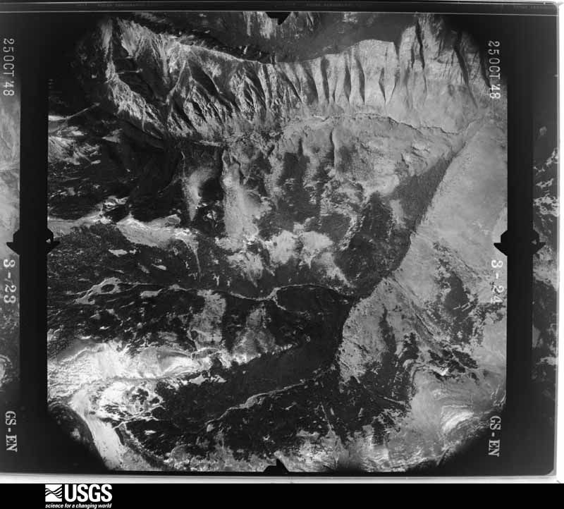
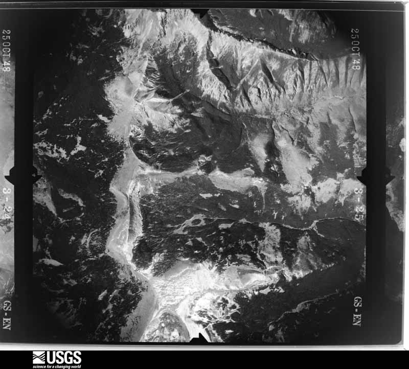
The thermometers that kept this county's weather, and the gages that measured the flow of its streams, as the federal records hold them. The extremes below are measured values from those records, not estimates.
Who lived here in 1950, one enumeration district at a time, as the Census Bureau described each district. Each row opens its official National Archives result, with Population Schedules and ED Maps available there.
Every wildfire the federal occurrence database records inside this county: 5,129 of them, burning about 115,187 acres. 3,593 started naturally and 133 were recorded as arson. Each settlement page carries the fires within five miles of it.
| Reported cause | Fires |
|---|---|
| Natural | 3593 |
| Missing data/not specified/undetermined | 438 |
| Debris and open burning | 393 |
| Recreation and ceremony | 342 |
| Arson/incendiarism | 133 |
| Smoking | 64 |
| Equipment and vehicle use | 52 |
| Fireworks | 35 |
| Misuse of fire by a minor | 34 |
| Railroad operations and maintenance | 18 |
| Power generation/transmission/distribution | 14 |
| Other causes | 13 |
The five largest, by the area the report gives. One of them was set deliberately.
| Date | Cause | Size | Reported by | Name on the report |
|---|---|---|---|---|
| 10 June 2010 | Natural | 27,100 acres | Santa Fe National Forest | SOUTH FORK |
| 10 June 1996 | Natural | 15,356 acres | Albuquerque District Office | ARCHULETA |
| 3 June 2017 | Natural | 7,495 acres | Carson National Forest | BONITA |
| 15 May 2017 | Natural | 7,020 acres | Carson National Forest | HONDITO |
| 27 June 1998 | Arson/incendiarism | 5,185 acres | Santa Fe National Forest | OSO |
| 12 June 2002 | Missing data/not specified/undetermined | 4,257 acres | Carson National Forest | MONTOYA |
| 17 September 2005 | Missing data/not specified/undetermined | 3,922 acres | Carson National Forest | PINE CANYON |
| 25 June 2014 | Natural | 3,626 acres | Santa Fe National Forest | DIEGO |
Every settlement page carries the fires within five miles of it - see the settlement index below.
The NOAA Storm Events Database holds 123 reports for this county, causing 3 deaths, 3 injuries and about $6,483,500 in recorded property damage. Each settlement page carries the reports that name it.
| Kind of event | Reports |
|---|---|
| Flash Flood | 43 |
| Hail | 41 |
| Thunderstorm Wind | 23 |
| Lightning | 7 |
| Tornado | 2 |
| Heavy Rain | 2 |
| Flood | 2 |
| Wildfire | 1 |
| Dust Devil | 1 |
| Funnel Cloud | 1 |
The most serious of them, by death, then injury, then recorded damage. The accounts are quoted exactly as the forecast office filed them.
| When | Event | Place named | Harm | What the report says |
|---|---|---|---|---|
| August 2015 | Lightning | Tusas | 1 killed, $3,000 | A lightning strike led to a fatal motorcycle crash along U.S. Highway 64 near Hopewell Lake. The victim was 37-year old Juan Trujillo. |
| August 2006 | Flash Flood | Dixon | 1 killed | A 47 year old male passenger drowned when a small vehicle was swept off State Road 75 just east of Dixon. Other cars had stopped when they saw the water running across the roadway. The driver of the small vehicle drove around stopped vehicles into the fast water. The small car stalled at about the halfway point and was swept downstream into the arroyo. The passenger was unable to escape with the driver. |
| May 1997 | Lightning | Tres Piedras | 1 killed | A rancher was struck and instantly killed by lightning northwest of Tres Piedras. The man and his 13 year old son were mending fence on open range and took shelter from a thunderstorm under isolated, but separate trees. The son was not injured. |
| August 2016 | Flash Flood | Chamita | 1 hurt, $25,000 | Vehicle overturned on highway 74 near mile marker 2 due to flood waters. Women was rescued from vehicle by fire department. |
| August 2000 | Lightning | Alcalde | 1 hurt | An 18-year old man suffered burns from a lightning strike. |
| April 1999 | Lightning | El Rito | 1 hurt | A woman was burned slightly and windows were broken when lightning struck a home in El Rito. |
| August 2016 | Flash Flood | Hernandez | $2,000,000 | Two elderly residents rescued from a mobile home that was washed off it's foundation and displaced over 50 feet downstream. Up to 30 homes inundated with water and at least 10 families displaced from flood waters. U.S. Highway 285, highway 74, and county road 57 all closed to remove mud and debris. County Road 57 washed over with mudslides from nearby mesa. |
| July 2015 | Flash Flood | Canones | $1,000,000 | Flash flood wave moved down Yeso Rito arroyo in less than 30 minutes, resulting in significant damage at Ghost Ranch. At least three older structures and a ropes course were completely destroyed. One newer studio structure was seriously damaged. Trees were snapped in half and mud filled several other structures. Damage has been estimated between 500,000 and 1 million dollars. No injuries were reported. |
| June 2024 | Flash Flood | Espanola | $500,000 | Heavy rains forced sharp rises along the Rio Chama between Medanales and Espanola. These rises were observed to peak at 7.95 feet at the Rio Chama near Chamita (CMTN5) gauge, resulting in flooding along U.S. Highway 84 between the junction of U.S. Highway 285 and Abiquiu that impacted 40 residences. This also resulted in heavy sand deposits near Medanales that resulted in the Rio Chama rerouting through adjacent agricultural fields two days later on June 22nd. Damage is an estimate given the lack of information and is an aggregate of the damage caused by the rerouting of the Rio Chama into the aforementioned agricultural fields as this was a direct result of the flash flooding that occurred on the night of the 20th into the morning of the 21st. |
| September 2013 | Flash Flood | Santa Clara Pueblo | $500,000 | Water flowing over NM 30 around mile marker 7. Thirteen homes were flooded in Santa Clara Pueblo including a health center. Flooding debris reported over numerous roads in the pueblo. A public walk way and skate park damaged due to erosion. A total of 79 structures were damaged in this multi-day event. |
| May 2023 | Flood | Chili | $300,000 | Rapid snow melt led to high river rises and overbank flooding at and downstream of the junction between the Rio Ojo Caliente and Rio Chama. Ten homes had water come right up to the house structure. This flooded yards, wells and septic tanks. Damages are an estimate. |
| July 2014 | Flash Flood | El Llano | $300,000 | Torrential rainfall produced significant flooding in Espanola during the overnight on the 14-15th. The NM Emergency Operations Center and local broadcast media reported at least 8 homes suffered flood damage with numerous vehicles abandoned and flooded. At least 4 residents reported 12 to 18 inches of standing water on their properties. North Railroad Ave and Hunter were flooded forcing city officials to run pumps to remove water. East Laguna Street around Santa Claran Casino was flooded. Santa Clara Pueblo was also flooded during this event. |
| July 1998 | Flash Flood | Espanola | $300,000 | Heavy rain and fast runoff again flooded arroyos and small channels some of which had not been cleared of debris from rain on July 4th. Damage to homes, personal property losses, plus county road washouts were reported at Abiquiu, Coyote, Lindrith and San Pedro. Losses and damage due to flooding during the week in southern Rio Arriba County were estimated near $400,000. |
| July 2013 | Flash Flood | Santa Clara Pueblo | $250,000 | Flash flooding was observed over several roadways in Santa Clara Canyon including 601 and 602. Flash flood wave made it to the NM 30 bridge with no damage apparent. However, significant damage occurred to several reservation roads, culverts, diversion structures, and trees through the canyon. A storage building was engulfed in several feet of mud. The Santa Clara Pueblo received a Presidential Disaster Declaration for this event. |
| August 1999 | Flash Flood | Los Ojos | $150,000 | Several county roads were washed out near Los Ojos. |
| June 2024 | Flash Flood | Medanales | $100,000 | Flooding over U.S. Highway 85 at mile markers 200 and 204 requiring debris removal. Reports of home damage from arroyo flooding, and a water rescue of a couple trapped in a mobile home due to surrounding flood waters. Injuries are unknown. Flood damage reported in homes from the arroyo flooding. Damage costs are an estimate. |
| September 2014 | Tornado (EF1) | Monero | $100,000 | A tornado traveled slightly north of due east through complex terrain of the Lazy Triangle Anchor Ranch, passing less than one quarter mile north of the ranch headquarters located near the intersection of U.S. Highway 64/84. The tornado traveled through terrain ranging from 7500 feet to 9800 feet in elevation. Numerous if not hundreds of large diameter pine trees and cedars were snapped and/or twisted and subsequently uprooted along the first one to one and a half miles. An old long-standing chapel dating back to the 1940s was destroyed. A 6-ft long 4x6 beam was tossed 150 yards. The main ranch residence suffered considerable damage including complete removal of it's pitched roof that was carried 50 yards to the east northeast. A bunkhouse and other storage buildings sustained significant damage. Winds were estimtated at 110 mph, the upper end of EF-1. |
| July 2013 | Flash Flood | La Madera | $100,000 | Highway 111 washed away along Rio Vallecitos. Vehicles parked at Ojo Caliente Mineral Springs Resort & Spa were among the damages and mudslides were reported along the hillsides near the resort. The RV and camping area was closed due to flooding. |
| September 2013 | Flash Flood | San Jose | $100,000 | Local broadcast media reported a home flooded near Chamita. Emergency management reported that a half dozen homes were filling up with water near US 84/285 due to flooding from the Rio Chama. A shelter was set up in Espanola. |
| July 1998 | Flash Flood | Espanola | $100,000 | Brief heavy rain across southern Rio Arriba County produced considerable arroyo and acequia irrigation system flooding. Several homes and two elementary schools were damaged in Espanola, while county roads and bridges suffered washouts near El Rito. |
| August 2016 | Flash Flood | Hernandez | $75,000 | At least three vehicles stalled in flood waters along county road 56A. |
| August 2017 | Thunderstorm Wind | Dulce | $50,000 | Severe winds produced significant roof damage to the Jicarilla Head Start building in Dulce. |
| July 2014 | Flash Flood | Abiquiu | $50,000 | Twenty minutes of intense rainfall followed by 4 hours of moderate rainfall caused wash out of County Road 155. A culvert beneath the road could not hold all the water and breached the roadway. |
| July 2013 | Flash Flood | El Rito | $50,000 | Portion of highway 554 washed away in El Rito. A home along highway 554 was impacted by the flood waters with damage reported to the kitchen. Local print media reported that the skirt of a mobile home was washed away and a propane tank floated several hundred feet away from the home. |
| June 2000 | Lightning | Dulce | $50,000 | A large oil storage tank burnt after a lightning strike. |
| July 2000 | Thunderstorm Wind | La Villita | $50,000 | no account filed |
| July 2000 | Thunderstorm Wind | Alcalde | $50,000 | no account filed |
| August 1996 | Lightning | Cebolla | $50,000 | no account filed |
| July 2021 | Flash Flood | Canjilon | $30,000 | A strong thunderstorm near Ghost Ranch produced several inches of water along U.S. Highway 84, and mud, rock, and debris were reported along the highway between mile marker 231 and mile marker 234. Several large boulders were also noted to have fallen from cliffsides onto the shoulder of the highway. Damages are estimated for along the highway. |
| September 2014 | Hail | Dulce | $30,000 | Significant damage to vehicles and skylights. |
| September 2014 | Hail | Dulce | $20,000 | Observer reported quarter size hail that damaged car windshields and dented vehicles. |
| July 2009 | Flash Flood | Barranca | $20,000 | Heavy rain caused flooding on County Road 155, washing out culverts and parts of the road. |
| October 1998 | Thunderstorm Wind | Vallecitos | $20,000 | A fast moving and unusual late night line of thunderstorms produced gusty winds and several small but intense microbursts which ripped the roof off several small cabins near Vallecitos. |
| June 2022 | Flash Flood | Dixon | $10,000 | An estimated 1.5 to 2.5 inches of rain caused an arroyo near Embudo to spill out of its bank, causing water to flow over County Road 69. Embudo Creek was also reported to be running high with clogged culverts at mile marker 3 on New Mexico State Road 75 near Dixon. Damages are estimated. |
| June 2019 | Dust Devil | Hernandez | $10,000 | Twenty people were injured when a dust devil blew apart a large tent at a summer solstice event at the Guru Ram Das Puri retreat center west of Espanola. Damage amounts are a rough estimate for destruction of the event tent. |
| June 2015 | Flash Flood | Abiquiu | $10,000 | County road 155 washed away and culverts destroyed. |
| July 2014 | Flash Flood | La Madera | $10,000 | A major footbridge was reported to have washed away on the Owl Peak Farm in La Madera. Both the Rio Ojo Caliente and the Tusas River rose to flood levels. The Rio Ojo Caliente showed a river rise from 6 cfs to 1120 cfs. |
| September 2014 | Thunderstorm Wind | Monero | $10,000 | Trained spotter reported downed power lines and debris on the highway west of Chama. |
| July 2010 | Thunderstorm Wind | Espanola | $10,000 | Winds of 65 mph from a microburst uprooted several small dead trees, and downed a 10 inch diameter green elm tree which damaged parked vehicles. In addition, several metal roof panels were ripped off an out building. This located only received a few raindrops, but the spotter saw the storm to the northwest. |
| September 2009 | Lightning | Chama | $10,000 | Thunderstorms over northwest New Mexico during the early morning hours produced a cloud to ground lightning strike that hit the 96.1 FM KZRM Radio transmitter on Rabbit Peak, just west northwest of Chama. The station was off the air for at least three weeks. |
| July 2001 | Thunderstorm Wind | Espanola | $10,000 | Espanola police reported several utility poles downed during a strong thunderstorm. |
| July 2014 | Flash Flood | Abiquiu | $5,000 | Observer reported the most severe storm at this location in 15 years. A total of 1.28 inches of rain fell in 45 minutes and the main road on their property was ripped apart and culverts destroyed. Additionally, their garden was shredded by hail. |
| August 2012 | Flash Flood | Chili | $5,000 | Water was reported flowing over Indian Service Roads 601 and 602. |
| April 2010 | Flood | Chama | $5,000 | Rising water from the Rio Chamita resulted in flooding of yards, storage sheds and possibly a barn on the west side of Chama. No homes were flooded. |
| June 2007 | Thunderstorm Wind | Alcalde | $5,000 | A roof was blown off a mobile home. |
| July 1998 | Flash Flood | Abiquiu | $5,000 | Flash flooding along Arroyo Del Yeso filled roads with mud and clogged the bridge to Ghost Ranch with heavy debris. |
| July 2012 | Flash Flood | Abiquiu | $2,500 | County Road 162 near the intersection of U.S. Highway 84, close to Abiquiu, was partially washed away. The culvert was reportedly too small to carry the volume of water generated by the heavy rain and topped the roadway. |
| July 1997 | Thunderstorm Wind | Chimayo | $2,500 | Several porch coverings were torn off and trees damaged in Chimayo. |
| June 2007 | Hail | Espanola | $500 | Trees and windows were damaged. |
| August 2025 | Flash Flood | El Llano | - | Heavy rainfall from a slow moving thunderstorm resulted in rushing floodwaters across State Highway 76 near Mile Marker 8 in Chimayo. |
| July 2025 | Flash Flood | Gallina | - | Heavy rains over the Laguna burn scar produced water and debris over a dirt road making it impassable. |
| June 2024 | Thunderstorm Wind | Espanola Muni Arpt | - | A mesonet station 4 miles northwest of Espanola recorded a wind gust of 59 mph from a severe thunderstorm. |
| September 2024 | Hail | Canjilon | - | Quarter size hail fell at mile marker 232 along U.S. Highway 84 outside Ghost Ranch. |
| June 2023 | Funnel Cloud | Cebolla | - | A trained spotter shared a photo of a funnel cloud that formed along U.S. Highway 84 near Cebolla. |
| July 2022 | Flash Flood | Santa Clara Pueblo | - | Heavy rain near Santa Clara Pueblo caused the Santa Clara Creek to overflow its banks and cause flash flooding in the area. No damage was reported. |
| December 2021 | Thunderstorm Wind | El Vado | - | Snow squall. A RAWS station south-southwest of El Vado measured a peak wind gust of 69 mph as a snow squall with associated lightning tracked through the area. Another RAWS station south of Monero measured a wind gust to 66 mph also associated with the snow squall and thunderstorms. |
| May 2020 | Thunderstorm Wind | Abiquiu | - | A dry thunderstorm produced a brief high wind gust up to 59 mph near Abiquiu. |
| March 2019 | Hail | Ranchitos | - | Hail up to the size of quarters reported in Espanola. |
| July 2019 | Hail | Coyote | - | Local news outlet relayed a report near Coyote of nickel size hail on Twitter. |
| June 2019 | Hail | Chama | - | Hail up to the size of quarters reported in Chama. |
The Survey's mineral resources record lists 584 workings inside this county. 19 still produce and 565 are closed or unrecorded. Each settlement page carries the workings within five miles of it.
| Commodity | Workings |
|---|---|
| Mica | 125 |
| Sand and Gravel, Construction | 91 |
| Gold | 79 |
| Beryllium | 47 |
| Uranium | 41 |
| Fluorine-Fluorite | 37 |
| Copper | 30 |
| Kyanite | 17 |
| Silver, Gold | 12 |
| Silver | 12 |
| Beryllium, Mica | 11 |
| Pumice | 11 |
| Stone | 9 |
| Copper, Silver | 8 |
The least common of them first, because a county's hundredth gravel pit says nothing its first ten did not.
| Where | Site | Commodity | Status | Recorded |
|---|---|---|---|---|
| Alamos Group | Beryllium, Mica, REE, Thorium, Feldspar, Uranium | Past Producer | 1870, 1875, 1950 | |
| American | Beryllium, REE, Fluorine-Fluorite, Niobium (Columbium) | Past Producer | ||
| Big Bug | Beryllium, Niobium (Columbium), REE, Fluorine-Fluorite | Past Producer | ||
| Bromide Mine | Silver, Copper, Gold, Lead | Past Producer | 1881, 1885, 1958 | |
| Buckhorn | Lead, Gold, Silver | Past Producer | ||
| Capitan Mine | Mica, Uranium, Thorium, REE, Beryllium | Past Producer | 1675, 1955 | |
| Coates Tunnel | Niobium (Columbium), Mica | Past Producer | ||
| Conqueror | Silver, Lead, Uranium, Copper | Past Producer | ||
| Cribbenville Group | Mica, Niobium (Columbium), Bismuth, REE | Past Producer | 1700, 1960 | |
| Cribbenville Mine | Mica, Uranium, Thorium, REE, Feldspar | Past Producer | 1675, 1955 | |
| Croesus Mine | Gold, Silver, Lead, Zinc, Copper | Past Producer | 1881, 1885, 1935 | |
| De Aragon | Mica, Tantalum | Prospect | ||
| El Camino | Mica, Beryllium | Prospect | ||
| El Contento | Beryllium, Feldspar, Mica | Prospect | ||
| Fridlund | REE, Bismuth, Niobium (Columbium), Mica | Past Producer | ||
| Fridlund Mine | Mica, Niobium (Columbium), Uranium, Thorium, REE | Past Producer | 1920, 1950, 1958 | |
| Gallina Gypsum | Gypsum-Anhydrite | Prospect | ||
| Globe Mine | Mica, Niobium (Columbium), Feldspar | Past Producer | 1875, 1958 | |
| Globe Mine | Lithium, Mica, Niobium (Columbium) | Past Producer | ||
| Green Peak Mine | Copper, Mica | Prospect | ||
| Hoover Group | Gold, Lead, Silver, Zinc | Occurrence | ||
| Iron Mountain Mine | Iron, Gold | Occurrence | ||
| Joel Taylor Group | Magnesite | Past Producer | ||
| Kaiwa | Beryllium, REE, Copper, Fluorine-Fluorite | Past Producer | ||
| Kiawa Group | Mica, REE, Thorium, Uranium, Feldspar | Past Producer | 1880 | |
| Kiawa Mine | Mica, Thorium, Feldspar, Uranium, REE | Producer | 1885 | |
| La Jarita-Apache Group | Mica, Beryllium, Feldspar, Niobium (Columbium), Thorium, Uranium, REE, Bismuth | Past Producer | 1850, 1965 | |
| La Madera Mine | Tantalum, Niobium (Columbium), Fluorine-Fluorite | Unknown | ||
| La Madera-Palomas Canyon Group | Beryllium, Mica, Uranium, Vanadium, Thorium, REE, Feldspar | Occurrence | 1910, 1925, 1955 | |
| Lonesome | Tantalum, Niobium (Columbium), Bismuth, Beryllium, Mica, Feldspar | Past Producer | ||
| Lonesome Mine | Mica, Beryllium, Niobium (Columbium), Tantalum, Uranium, Bismuth, Thorium, REE | Past Producer | 1932, 1943 | |
| Maria Theresa Claims | Iron, Titanium, Metal, Phosphorus-Phosphates, Sulfur | Occurrence | 1945 | |
| Mary | Beryllium, Mica, Niobium (Columbium) | Past Producer | ||
| Mineral Point Mine | Silver, Gold, Copper, Zinc, Lead | Past Producer | 1888, 1895, 1935 | |
| Mineral Point Mine | Gold, Lead, Copper | Occurrence | ||
| Peno Verde Prospect | Bismuth, Fluorine-Fluorite, Mica, Beryllium | Prospect | ||
| Petaca District | Niobium (Columbium), Thorium, REE, Tantalum | Producer | PEGMATITE | |
| Petach Mine | Mica, Niobium (Columbium), Tantalum, Fluorine-Fluorite, Beryllium | Past Producer | ||
| Pineapple Mine | Mica, Uranium, Vanadium, Thorium, Feldspar | Past Producer | 1954, 1955 | |
| Pino Verde Mine | Mica, Uranium, Thorium, Bismuth | Past Producer | 1922, 1945, 1950 | |
| Quartzite | Mica, Stone, Crushed/Broken | Unknown | ||
| Red Jacket Mine | Gold, Silver, Lead | Past Producer | 1889, 1895, 1935 | |
| Red Jacket Mine | Zinc, Gold, Silver, Lead | Occurrence | ||
| Rocking Chair Nos. 1 and 2 | Beryllium, Calcium | Prospect | ||
| Sandoval | Bismuth, Beryllium, Mica | Past Producer | ||
| Sandoval Prospects | Fluorine-Fluorite, Thorium | Past Producer | ||
| South Kiawa Deposit | Mica, REE | Past Producer | 1885, 1943 | |
| St Christopher Columbite Placer | Niobium (Columbium) | Past Producer | ||
| St. Christopher Columbite Placer | Tantalum, Niobium (Columbium), Mica, REE | Occurrence | 1895 | |
| St. Joseph | Beryllium, Mica, Niobium (Columbium), Tantalum | Prospect | ||
| Stinking Lake Deposit | Titanium, Metal | Occurrence | 1955 | |
| Sunnyside | Beryllium, Mica, Fluorine-Fluorite | Past Producer | ||
| Sunnyside Mine | Beryllium, Fluorine-Fluorite, Mica, Feldspar, Uranium, Thorium, REE | Past Producer | 1943, 1955 | |
| Tampa Mine | Gold, Silver, Copper, Molybdenum, Platinum | Past Producer | 1885, 1895, 1907 | |
| Tip Top Mine | Stone, Dimension | Unknown | ||
| Wagon Road Deposits | Iron, Molybdenum | Occurrence | ||
| Werner | Niobium (Columbium), Tantalum, Beryllium, Mica | Prospect | ||
| Alma Deposit | Beryllium, Mica, Thorium, REE, Uranium, Feldspar | Past Producer | 1900, 1943 | |
| American | Uranium, Silver, Lead, Copper | Past Producer | ||
| Apache Mine | Beryllium, Mica, Uranium, Bismuth, Thorium, REE | Past Producer | 1845, 1962 | |
| Apache No. 2 Mine | Mica, Bismuth, Beryllium, Uranium, Thorium, REE | Past Producer | 1880, 1900, 1965 | |
| Arroya | Uranium, Silver, Lead, Copper | Past Producer | ||
| Besre Deposit | Manganese | Prospect | ||
| Cleveland Gulch Iron Deposit | Iron, Phosphorus-Phosphates, Sulfur, Titanium, Metal, Manganese | Occurrence | 1959 | |
| Dessieux #3 | Uranium, Copper | Past Producer | ||
| Good Fortune Prospect | Silver, Gold, Copper | Prospect | ||
| Iron Mountain Mine | Iron, Phosphorus-Phosphates, Sulfur, Titanium, Metal, Manganese | Occurrence | 1950 | |
| Kiawa Mtn. Molybdenite Prospects | Molybdenum | Occurrence | ||
| La Paloma Mine | Mica, Feldspar, Beryllium, Uranium, Thorium, REE | Past Producer | 1910, 1915 | |
| Las Cruces Claims | Manganese | Past Producer | 1953 | |
| Little Eunice | Silver, Gold, Copper | Prospect | ||
| Lyden Bentonite Deposit | Bentonite | Unknown | ||
| Molybdenite Prospect | Molybdenum | Occurrence | ||
| Nambe Mine | Mica, Uranium, Thorium, REE | Past Producer | 1845, 1955 | |
| North Cribbenville Mine | Mica, Uranium, Thorium, REE | Past Producer | 1650, 1955 | |
| Ojo Caliente Nos. 1, 8, 9 | Niobium (Columbium), Tantalum | Unknown | ||
| Persimmon Peak-Las Tablas Group | Beryllium, Mica, Thorium, REE, Uranium, Feldspar | Past Producer | 1885 | |
| Resurrection | Uranium, Copper | Unknown | ||
| St. Christopher Columbite Placer | Niobium (Columbium), Tantalum | Unknown | ||
| Tierra Amarilla Grant Bentonite Dep | Bentonite | Unknown | ||
| Buena Vista Deposit | Mica, Feldspar, Uranium, Thorium, REE | Past Producer | 1935, 1939 | |
| Ghost Ranch Pit No. 330 | Sand and Gravel, Construction, Stone | Unknown | ||
| Materials Pit No. 67-12-S | Sand and Gravel, Construction, Stone | Prospect | ||
| Mesa Alta Prospects | Kaolin | Occurrence | ||
| Myers Kaolinite Deposit | Kaolin | Occurrence | Kaolinite | |
| Myers Kaolinite Prospect | Kaolin | Prospect | ||
| Pit No. 66 - 48 - S | Sand and Gravel, Construction, Stone | Unknown | ||
| White Mine | Mica, Feldspar, Uranium, Thorium, REE | Past Producer | 1922, 1925, 1955 | |
| Bromide | Gold, Silver, Copper | Past Producer | ||
| Bromide Mine | Copper, Gold, Silver | Past Producer | ||
| Diatomaceous Earth Pit | Diatomite | Unknown | ||
| Eureka Mine | Silver, Copper | Past Producer | 1885, 1956 | |
| Globe Mine | Mica, Feldspar | Past Producer | ||
| Green Peak Deposit | Mica, Copper, Uranium | Occurrence | 1885 | |
| Hecla Prospect | Copper, Gold, Silver | Occurrence | ||
| J.H. Rhoades Pumice Co. Diatomite Mine | Diatomite | Past Producer | 1953, 1954 | |
| James H Rhode | Diatomite | Prospect | ||
| Jawbone Mine | Copper, Gold | Occurrence | ||
| Johnny Williams Prospect | Copper, Gold, Silver | Occurrence | ||
| Keystone Prospect | Gold, Silver, Copper | Occurrence | ||
| Los Compadres Claims | Quartz, Feldspar | Past Producer | ||
| Pajarito Azul | Copper, Uranium | Unknown | ||
| Payroll Mine | Copper, Gold | Past Producer | 1889, 1895, 1908 | |
| Rhodes Diatomite Pit | Diatomite | Past Producer | ||
| Strawberry Mine | Copper, Gold | Occurrence | ||
| Tjbd 1 | Copper, Uranium | Unknown | ||
| Tusas River Canyon Prospects | Copper, Gold, Silver | Prospect | ||
| Unknown | Geothermal | Unknown | ||
| Unknown Spring | Geothermal | Unknown | ||
| Unknown Spring | Geothermal | Unknown | ||
| Unnamed Shaft | Copper, Gold | Unknown | ||
| Unnamed Spring | Geothermal | Unknown | ||
| Wasson | Uranium, Vanadium | Prospect | ||
| White Flow #1 Mine | Uranium, Vanadium, Copper | Past Producer | 1954, 1955 | |
| Whiteflo | Copper, Uranium | Prospect | ||
| Aztec Prospect | Beryllium, Fluorine-Fluorite, Niobium (Columbium), REE | Prospect | ||
| Badger Prospect | Gold, Silver | Occurrence | ||
| Big Bug # 3 | Beryllium, Fluorine-Fluorite, Niobium (Columbium), REE | Past Producer | ||
| Blanca Prospect | Beryllium, Fluorine-Fluorite, Niobium (Columbium), REE | Prospect | ||
| Blue Bird #2 | Beryllium, Fluorine-Fluorite, Niobium (Columbium), REE | Past Producer | ||
| Bluebird | Beryllium, Fluorine-Fluorite, Niobium (Columbium), REE | Past Producer | ||
| Box Canyon Mine | Vanadium, Uranium | Past Producer | 1955, 1957 | |
| Cinnabar Prospects | Gold, Silver | Prospect | ||
| Clara D Prospect | Gold, Silver | Prospect | ||
| Cleveland Gulch Deposit | Iron | Prospect | ||
| Coyote Hill Mine | Vanadium, Uranium, Copper | Past Producer | 1954, 1955 | |
| Little Mack | Gold, Silver | Unknown | ||
| Lucky Strike Mine | Vanadium, Uranium | Past Producer | 1955, 1957 | |
| Midcontinent #1 Mine | Vanadium, Uranium | Past Producer | 1955 | |
| Red Head #2 Mine | Vanadium, Uranium, Copper | Past Producer | 1955 | |
| Santa Cruz Magnetite | Iron | Unknown | ||
| Tusas River Canyon Magnetite | Iron | Unknown | ||
| Cherokee Mine | Quartz | Past Producer | ||
| La Paloma | Fluorine-Fluorite, Mica, Beryllium | Past Producer | ||
| Los Compadres | Quartz | Unknown | ||
| Maria Theresa Group | Titanium | Occurrence | ||
| Paloma Canyon Prospect | Quartz | Prospect | ||
| Parker | Fluorine-Fluorite, Mica, Beryllium | Prospect | ||
| Pava Prospect | Fluorine-Fluorite, Mica, Beryllium | Past Producer | ||
| Peno Blanco Prospect | Fluorine-Fluorite, Mica, Beryllium | Prospect | ||
| Pinos Altas Prospect | Fluorine-Fluorite, Mica, Beryllium | Prospect | ||
| Queen | Fluorine-Fluorite, Mica, Beryllium | Past Producer | ||
| Riverside 1 & 4 Mine | Fluorine-Fluorite, Quartz | Past Producer | ||
| Riverside One Through Four | Quartz | Unknown | ||
| Stinking Lake Deposit | Titanium | Unknown | ||
| Tierra Amarilla Titanium Deposit | Titanium | Unknown | ||
| Unnamed Ilmenite Prospect | Titanium | Prospect | ||
| Unnamed Ilmenite Prospect | Titanium | Prospect | ||
| Unnamed Ilmenite Prospects | Titanium | Prospect | ||
| Chicago Prospect | Gold, Copper | Unknown | ||
| Denver | Gold, Copper | Unknown | ||
| Dixie Queen | Gold, Copper, Silver | Past Producer | ||
| Duck | Gold, Copper, Silver | Past Producer | ||
| Hidden Treasure | Gold, Copper, Silver | Past Producer | ||
| Jackpot Claim | Gold, Copper, Silver | Past Producer | ||
| Jarossa Mine | Copper, Silver | Prospect | ||
| Jaw Bone Mine | Gold, Copper | Past Producer | 1889, 1895, 1903 | |
| Las Minas De Pedro Prospect | Copper, Silver | Past Producer | 1917 | |
| Las Minas Jimmie Prospect | Copper, Silver | Past Producer | 1917 | |
| Lucky Boy Claim | Gold, Copper | Unknown | ||
| Ora Prospect | Gold, Copper | Unknown | ||
| Philadelphia Claim | Gold, Copper | Unknown | ||
| Sardine | Gold, Copper | Unknown | ||
| Schley Prospect | Gold, Copper | Occurrence | ||
| Strawberry | Gold, Copper, Silver | Past Producer | ||
| Blm Pit Nm1- 75 - 1 | Stone | Unknown | ||
| Chimayo Pit | Stone | Unknown | ||
| Eturriaga Rock Quarry | Stone | Past Producer | ||
| Forest Road | Stone | Unknown | ||
| Materials Pit No 59-31-S | Stone | Prospect | ||
| Materials Pit No. 59-30-S | Stone | Prospect | ||
| Materials Pit No. 65-58-S | Stone | Prospect | ||
| Materials Pit No. 70-13-S | Stone | Prospect | ||
| Materials Pit No. 78-31-S | Stone | Prospect | ||
| Alma | Beryllium, Mica | Past Producer | ||
| Apache Mine | Beryllium, Mica | Past Producer | ||
| Copar Mine | Pumice | Unknown | ||
| Cullum Pit | Pumice | Producer | ||
| Cupar Mine | Pumice | Past Producer | ||
| Etter | Beryllium, Mica | Prospect | ||
| Los Cerritos De La Cruz | Pumice | Occurrence | ||
| North Star | Beryllium, Mica | Past Producer | ||
| Red Hill | Pumice | Prospect | ||
| Rocky Mountain Mine | Pumice | Producer | Pumice | |
| San Antonio No. 1- 8 Placer Claims | Pumice | Past Producer | ||
| Santa Clara Pumice Pit 1 | Pumice | Unknown | ||
| Santa Clara Pumice Pit 2 | Pumice | Unknown | ||
| Santa Clara Pumice Pit 3 | Pumice | Past Producer | ||
| Unnamed Cinder Working | Pumice | Unknown | ||
| Unnamed Prospects | Beryllium, Mica | Prospect | ||
| Vestegard | Beryllium, Mica | Prospect | ||
| Admiral Group | Copper, Silver, Gold | Past Producer | ||
| Badger | Gold, Silver | Occurrence | ||
| Copper Knob | Silver, Gold, Copper | Prospect | ||
| Croesus Mine | Silver, Gold | Past Producer | ||
| Deep Canon Prospect | Silver, Gold, Copper | Occurrence | ||
| Good Hope Prospects | Silver, Gold | Occurrence | ||
| Grand Mogul | Gold, Silver | Occurrence | ||
| Headstone | Gold, Silver | Past Producer | ||
| Hopewell | Gold, Silver | Past Producer | ||
| Inner Mountain Prospect | Silver, Gold | Prospect | ||
| Jawbone-Iron Mtn Iron Formation | Gold, Silver | Past Producer | ||
| Laura S | Gold, Silver | Past Producer | ||
| Little Casino | Gold, Silver | Occurrence | ||
| Mary E. Steele | Silver, Gold | Prospect | ||
| Nome Claim | Silver, Gold | Prospect | ||
| Old Buckhorn | Gold, Silver | Past Producer | ||
| Payroll | Copper, Silver, Gold | Occurrence | ||
| Sixteen To One | Gold, Silver | Past Producer | ||
| Tampa Mine | Copper, Silver, Gold | Past Producer | ||
| White Deposit | Gold, Silver | Past Producer | ||
| Wild Blue | Silver, Gold | Unknown | ||
| Big Rock Deposit | Kyanite | Past Producer | ||
| Big Rock Kyanite Mine | Kyanite | Past Producer | 1928 | |
| Kiawa Mountain | Kyanite | Unknown | ||
| Kiowa View I | Kyanite | Prospect | ||
| Kiowa View Ii | Kyanite | Prospect | ||
| Kiowa View Iii | Kyanite | Unknown | ||
| Kiowa View Iv | Kyanite | Unknown | ||
| Kiowa View V | Kyanite | Unknown | ||
| La Madera Mountain | Kyanite | Unknown | ||
| Raymond No. 1, 2 and 3 | Kyanite | Past Producer | ||
| Unnamed Kyanite Prospect | Kyanite | Occurrence | ||
| Unnamed Kyanite Prospect | Kyanite | Occurrence | ||
| Unnamed Kyanite Prospect | Kyanite | Occurrence | ||
| Unnamed Kyanite Prospect | Kyanite | Occurrence | ||
| Unnamed Kyanite Prospect | Kyanite | Occurrence | ||
| Vallecitos Deposit No. 1 | Kyanite | Unknown | ||
| Vallecitos Deposit No. 2 | Kyanite | Unknown | ||
| Arrastre | Copper, Uranium | Past Producer | ||
| Boston | Copper | Prospect | ||
| Capulin Prospect | Copper | Unknown | ||
| Cinnabar | Copper | Past Producer | ||
| Cobre Mine | Copper | Unknown | ||
| Coyote Mine | Copper | Unknown | ||
| Coyote Prospect | Copper | Prospect | ||
| Duck Prospect | Copper | Prospect | ||
| Elliott | Copper | Prospect | ||
| Erma Prospect | Copper | Prospect | ||
| Gallina Prospect | Copper | Prospect | ||
| Good Hope | Copper | Prospect | ||
| Inner Mountain | Copper | Prospect | ||
| Las Minas De Pedro | Copper | Prospect | ||
| Las Minas Jimmie | Copper, Uranium | Prospect | ||
| Lily Belle | Copper | Prospect | ||
| Rio Chama Placer Region | Copper | Past Producer | ||
| Snow Flake Prospect | Copper | Occurrence | ||
| Unnamed Copper Prospect | Copper | Prospect | ||
| Unnamed Copper Prospect | Copper | Occurrence | ||
| Whale Group | Gold, Copper | Unknown | ||
| Youngsville Prospects | Copper | Occurrence | ||
| El Floto Mine | Beryllium, Fluorine-Fluorite | Past Producer | ||
| Fluorite Deposits | Fluorine-Fluorite | Prospect | ||
| Fluorspar Nos. 1 To 8 | Fluorine-Fluorite | Occurrence | ||
| Frances | Fluorine-Fluorite, Beryllium | Past Producer | ||
| Fruitland Prospect | Fluorine-Fluorite, Beryllium | Prospect | ||
| Gabalon Prospect | Fluorine-Fluorite, Beryllium | Prospect | ||
| Hillside Prospect | Fluorine-Fluorite, Beryllium | Prospect | ||
| Huckleberry Mine | Fluorine-Fluorite | Occurrence | ||
| Joseph Mine | Fluorine-Fluorite | Past Producer | ||
| Keystone-Western Mine | Fluorine-Fluorite, Beryllium | Past Producer | ||
| La Madera Area | Fluorine-Fluorite, Beryllium | Past Producer | ||
| La Madera Fllorspar | Fluorine-Fluorite | Prospect | ||
| Las Tablos | Fluorine-Fluorite, Beryllium | Past Producer | ||
| Laura Crystal Prospect | Fluorine-Fluorite, Beryllium | Prospect | ||
| Little Julia No 1 | Fluorine-Fluorite, Beryllium | Past Producer | ||
| Mary Prospect | Fluorine-Fluorite, Beryllium | Prospect | ||
| Maulsby Prospect | Fluorine-Fluorite, Beryllium | Prospect | ||
| North Cribbenville Mine | Fluorine-Fluorite, Beryllium | Past Producer | ||
| Pentata | Fluorine-Fluorite, Beryllium | Past Producer | ||
| Quartzite Prospect | Fluorine-Fluorite, Beryllium | Prospect | ||
| Rocking Chair | Fluorine-Fluorite, Beryllium | Past Producer | ||
| Salt Lick Deposits | Fluorine-Fluorite, Beryllium | Past Producer | ||
| Servelleta | Fluorine-Fluorite, Beryllium | Past Producer | ||
| Silver Plate | Fluorine-Fluorite, Beryllium | Past Producer | ||
| Small Fry Prospect | Fluorine-Fluorite | Past Producer | ||
| South Kiawa Prospect | Fluorine-Fluorite, Beryllium | Prospect | ||
| Southwestern | Fluorine-Fluorite | Past Producer | ||
| St Joseph Prospect | Fluorine-Fluorite, Beryllium | Prospect | ||
| Teddy # 2 | Fluorine-Fluorite, Beryllium | Past Producer | ||
| Triple Ea Prospect | Fluorine-Fluorite, Beryllium | Prospect | ||
| Vaseley | Fluorine-Fluorite, Beryllium | Past Producer | ||
| Vestgard | Fluorine-Fluorite, Beryllium | Past Producer | ||
| Victory Prospect | Fluorine-Fluorite, Beryllium | Prospect | ||
| Worm Mines, Inc. Property | Fluorine-Fluorite | Prospect | ||
| Wyoming Prospect | Fluorine-Fluorite, Beryllium | Prospect | ||
| Alex | Uranium | Producer | ||
| Carbon Group | Uranium | Occurrence | ||
| Cebolla 2 | Uranium | Unknown | ||
| Corral 1 | Uranium | Unknown | ||
| Coy Claims | Uranium | Occurrence | ||
| E and B 1 | Uranium | Unknown | ||
| E and B 3 | Uranium | Unknown | ||
| El C-B | Uranium | Unknown | ||
| Erma 1 | Uranium | Unknown | ||
| Heart 3 | Uranium | Unknown | ||
| Hillfoot No. 1 | Uranium | Prospect | ||
| Horney Toad | Uranium | Past Producer | ||
| Horny Toad | Uranium | Unknown | ||
| J O L | Uranium | Unknown | ||
| Jaramillo- Montoya | Uranium | Unknown | ||
| Las Minas De Pedro | Uranium | Past Producer | ||
| Las Minas Jimmie | Uranium | Past Producer | ||
| Little Prospect | Uranium | Unknown | ||
| Lola | Uranium | Unknown | ||
| Lou | Uranium | Unknown | ||
| Lucky Dog | Uranium | Unknown | ||
| Lucky Strike | Uranium | Unknown | ||
| Maxine | Uranium | Unknown | ||
| Mesa Alta | Uranium | Unknown | ||
| Pivot Rock | Uranium | Prospect | ||
| Plaza Colorado Grant | Uranium | Past Producer | ||
| R A 1 | Uranium | Prospect | ||
| Rancho Aaa | Uranium | Unknown | ||
| Red Bird | Uranium | Prospect | ||
| Red Head No. 2 | Uranium | Prospect | ||
| Rey | Uranium | Prospect | ||
| Saint Jude | Uranium | Prospect | ||
| Sanches 1 | Uranium | Unknown | ||
| Tusas Uranium Prospects | Uranium | Unknown | ||
| Unnamed Uranium Deposit | Uranium | Unknown | ||
| Vargas-Jaramillo | Uranium | Unknown | ||
| Wild Blue | Uranium | Past Producer | ||
| Yellow Bird 2 | Uranium | Unknown | ||
| Young Prospect | Uranium | Occurrence | ||
| Blowout Nos 1 3 & 4 | Mica, Beryllium | Producer | ||
| Fidel | Beryllium | Past Producer | ||
| Fish Beryl Claims | Beryllium | Past Producer | 1957, 1958 | |
| Fish Claims | Beryllium | Past Producer | ||
| Abiquiu | Gold | Past Producer | ||
| Admiral Group | Gold | Unknown | ||
| Arrastre Prospect | Gold | Prospect | ||
| Ashland Group | Gold | Prospect | ||
| Asiatic Group | Gold | Prospect | ||
| Big Ida Prospect | Gold | Prospect | ||
| Big Sandy | Gold | Occurrence | ||
| Billy Kennedy | Gold | Prospect | ||
| Black Hawk Claim | Gold | Prospect | ||
| Burbank Placer | Gold | Prospect | ||
| Butterfly | Gold | Unknown | ||
| Cash Entry | Gold | Prospect | ||
| Chama Placers | Gold | Past Producer | 1848 | |
| Continental Prospect | Gold | Unknown | ||
| Cosart Shaft | Gold | Unknown | ||
| Cowboy | Gold | Prospect | ||
| Crown Point Claim | Gold | Prospect | ||
| Detroit | Gold | Prospect | ||
| Dixie Queen Mine | Gold | Occurrence | ||
| Dora No 1 | Gold | Occurrence | ||
| Dora No. 2 Claim | Gold | Prospect | ||
| El Rito Gold Deposits | Gold | Occurrence | ||
| Fairview | Gold | Past Producer | ||
| Greenstone | Gold | Prospect | ||
| Hancock Placer | Gold | Prospect | ||
| Hidden Treasure Group | Gold | Unknown | ||
| Hopewell District | Gold | Past Producer | 1880 | |
| Horseshoe Claim | Gold | Prospect | ||
| Independence Claim | Gold | Prospect | ||
| Jefferson | Gold | Prospect | ||
| Jersey Cream | Gold | Prospect | ||
| Jumbo Prospect | Gold | Unknown | ||
| Juniper | Gold | Prospect | ||
| King Richard Prospect | Gold | Unknown | ||
| Last Hope | Gold | Unknown | ||
| Last Hope Claim | Gold | Prospect | ||
| Lexington Lode | Gold | Occurrence | ||
| Lower Flat Placer | Gold | Past Producer | ||
| McKinley | Gold | Prospect | ||
| McKinley Claim | Gold | Prospect | ||
| Ontario Lode | Gold | Prospect | ||
| Ora Fino | Gold | Prospect | ||
| Oregon Claim | Gold | Prospect | ||
| Philadelphia Group | Gold | Prospect | ||
| Pigeon | Gold | Prospect | ||
| Placer Creek | Gold | Unknown | ||
| Providence | Gold | Prospect | ||
| Red Fissure | Gold | Prospect | ||
| Rubicon Prospect | Gold | Prospect | ||
| Sumner | Gold | Prospect | ||
| Texas | Gold | Prospect | ||
| Union Lode | Gold | Prospect | ||
| Unnamed Adit | Gold | Prospect | ||
| Unnamed Prospect | Gold | Occurrence | ||
| Unnamed Prospect | Gold | Occurrence | ||
| Unnamed Prospect | Gold | Occurrence | ||
| Unnamed Shaft | Gold | Prospect | ||
| Unnamed Shaft | Gold | Prospect | ||
| Virginia | Gold | Prospect | ||
| Aldaz Ranch | Sand and Gravel, Construction | Producer | ||
| B - 01294 Pit | Sand and Gravel, Construction | Past Producer | ||
| Bartholomew - Sanchez Grant Pit | Sand and Gravel, Construction | Past Producer | ||
| Blm 1 - 74 - 676 | Sand and Gravel, Construction | Unknown | ||
| Borrow Pit | Sand and Gravel, Construction | Unknown | ||
| Djo Caliente Minerals | Sand and Gravel, Construction | Producer | ||
| El Vado Lake Gravel Pit | Sand and Gravel, Construction | Unknown | ||
| Espanola Transit Mix Co | Sand and Gravel, Construction | Past Producer | ||
| Eturriga Pit | Sand and Gravel, Construction | Past Producer | Sedimentary | |
| Forest Rd No 4 | Sand and Gravel, Construction | Producer | ||
| Gravel Pit | Sand and Gravel, Construction | Prospect | ||
| Horace Cordova | Sand and Gravel, Construction | Producer | Sedimentary | |
| Lease Pit | Sand and Gravel, Construction | Unknown | ||
| Lowdermilk | Sand and Gravel, Construction | Producer | ||
| Lowdermilk Mine | Sand and Gravel, Construction | Producer | Sedimentary | |
| Lower Brazos | Sand and Gravel, Construction | Unknown | ||
| Materials Pit No 66-48-S | Sand and Gravel, Construction | Prospect | ||
| Materials Pit No. 55-70-S | Sand and Gravel, Construction | Prospect | ||
| Materials Pit No. 58-128-S | Sand and Gravel, Construction | Prospect | ||
| Materials Pit No. 58-136-S | Sand and Gravel, Construction | Prospect | ||
| Materials Pit No. 58-137-S | Sand and Gravel, Construction | Prospect | ||
| Materials Pit No. 58-59-S | Sand and Gravel, Construction | Prospect | ||
| Materials Pit No. 58-60-S | Sand and Gravel, Construction | Prospect | ||
| Materials Pit No. 58-63-S | Sand and Gravel, Construction | Prospect | ||
| Materials Pit No. 58-79-S | Sand and Gravel, Construction | Prospect | ||
| Materials Pit No. 58-81-S | Sand and Gravel, Construction | Prospect | ||
| Materials Pit No. 58-91-S | Sand and Gravel, Construction | Prospect | ||
| Materials Pit No. 59-111-S | Sand and Gravel, Construction | Prospect | ||
| Materials Pit No. 59-32-S | Sand and Gravel, Construction | Prospect | ||
| Materials Pit No. 59-55-S | Sand and Gravel, Construction | Prospect | ||
| Materials Pit No. 59-56-S | Sand and Gravel, Construction | Prospect | ||
| Materials Pit No. 59-60-S | Sand and Gravel, Construction | Prospect | ||
| Materials Pit No. 59-62-S | Sand and Gravel, Construction | Prospect | ||
| Materials Pit No. 59-72-S | Sand and Gravel, Construction | Prospect | ||
| Materials Pit No. 60-13-S | Sand and Gravel, Construction | Prospect | ||
| Materials Pit No. 60-15-S | Sand and Gravel, Construction | Prospect | ||
| Materials Pit No. 60-54-S | Sand and Gravel, Construction | Prospect | ||
| Materials Pit No. 60-71-S | Sand and Gravel, Construction | Prospect | ||
| Materials Pit No. 61-21-S | Sand and Gravel, Construction | Prospect | ||
| Materials Pit No. 61-22-S | Sand and Gravel, Construction | Prospect | ||
| Materials Pit No. 62-22-S | Sand and Gravel, Construction | Prospect | ||
| Materials Pit No. 62-25-S | Sand and Gravel, Construction | Prospect | ||
| Materials Pit No. 62-39-S | Sand and Gravel, Construction | Prospect | ||
| Materials Pit No. 62-40-S | Sand and Gravel, Construction | Prospect | ||
| Materials Pit No. 62-41-S | Sand and Gravel, Construction | Prospect | ||
| Materials Pit No. 62-42-S | Sand and Gravel, Construction | Prospect | ||
| Materials Pit No. 62-49-S | Sand and Gravel, Construction | Prospect | ||
| Materials Pit No. 64-17-S | Sand and Gravel, Construction | Prospect | ||
| Materials Pit No. 64-18-S | Sand and Gravel, Construction | Prospect | ||
| Materials Pit No. 64-21-S | Sand and Gravel, Construction | Prospect | ||
| Materials Pit No. 64-34-S | Sand and Gravel, Construction | Prospect | ||
| Materials Pit No. 64-54-S | Sand and Gravel, Construction | Prospect | ||
| Materials Pit No. 64-65-S | Sand and Gravel, Construction | Prospect | ||
| Materials Pit No. 64-66-S | Sand and Gravel, Construction | Prospect | ||
| Materials Pit No. 65-62-S | Sand and Gravel, Construction | Prospect | ||
| Materials Pit No. 65-64-S | Sand and Gravel, Construction | Prospect | ||
| Materials Pit No. 66-33-S | Sand and Gravel, Construction | Prospect | ||
| Materials Pit No. 66-42-S | Sand and Gravel, Construction | Prospect | ||
| Materials Pit No. 67-13-S | Sand and Gravel, Construction | Prospect | ||
| Materials Pit No. 67-23-S | Sand and Gravel, Construction | Prospect | ||
| Materials Pit No. 68-1-S | Sand and Gravel, Construction | Prospect | ||
| Materials Pit No. 69-10-S | Sand and Gravel, Construction | Prospect | ||
| Materials Pit No. 69-11-S | Sand and Gravel, Construction | Prospect | ||
| Materials Pit No. 69-8-S | Sand and Gravel, Construction | Prospect | ||
| Materials Pit No. 69-9-S | Sand and Gravel, Construction | Prospect | ||
| Materials Pit No. 70-12-S | Sand and Gravel, Construction | Prospect | ||
| Materials Pit No. 70-14-S | Sand and Gravel, Construction | Prospect | ||
| Materials Pit No. 70-15-S | Sand and Gravel, Construction | Prospect | ||
| Materials Pit No. 73-18-S | Sand and Gravel, Construction | Prospect | ||
| Materials Pit No. 76-16-S | Sand and Gravel, Construction | Prospect | ||
| Materials Pit No. 78-10-S | Sand and Gravel, Construction | Prospect | ||
| Materials Pit No. 78-41-S | Sand and Gravel, Construction | Prospect | ||
| Pine Canyon Pit | Sand and Gravel, Construction | Producer | ||
| Pit 67 - 2 | Sand and Gravel, Construction | Unknown | ||
| Pit 67-23-5 | Sand and Gravel, Construction | Producer | ||
| Pit No 56-68 | Sand and Gravel, Construction | Producer | ||
| Pit No. B001132 | Sand and Gravel, Construction | Unknown | ||
| Ra03-001 | Sand and Gravel, Construction | Producer | Sedimentary | |
| Rio Chama Valley Gravels | Sand and Gravel, Construction | Unknown | ||
| Rutheron Pit | Sand and Gravel, Construction | Past Producer | ||
| San Juan Pit | Sand and Gravel, Construction | Unknown | ||
| Sebastian & Martin Pit | Sand and Gravel, Construction | Producer | ||
| Sebastian - Martin Pit | Sand and Gravel, Construction | Producer | ||
| Six- 13- S Ext. | Sand and Gravel, Construction | Unknown | ||
| Unnamed Gravel Pit | Sand and Gravel, Construction | Past Producer | ||
| Unnamed Gravel Pit | Sand and Gravel, Construction | Prospect | ||
| Unnamed Gravel Pit | Sand and Gravel, Construction | Past Producer | ||
| Unnamed Gravel Pit | Sand and Gravel, Construction | Past Producer | ||
| Upper T.A. Creek | Sand and Gravel, Construction | Unknown | ||
| V and M Ventures | Sand and Gravel, Construction | Unknown | ||
| Wayne A Lowdermilk Inc | Sand and Gravel, Construction | Past Producer | ||
| Alamos Deposit | Mica | Past Producer | ||
| Alamos Mine | Mica | Past Producer | 1925, 1945 | |
| Alto | Mica | Prospect | ||
| Ancon Mine | Mica | Prospect | ||
| Ancone No. 1 | Mica | Past Producer | ||
| Antonio Joseph Prospect | Mica | Prospect | ||
| Aztec Deposit | Mica | Occurrence | ||
| Big Bug | Mica | Prospect | ||
| Blanca | Mica | Past Producer | ||
| Blue Eagle No. 2 | Mica | Occurrence | ||
| Bluebird | Mica | Past Producer | ||
| Bluebird No. 2 | Mica | Prospect | ||
| Bonanza | Mica | Prospect | ||
| Buena Vista | Mica | Prospect | ||
| Canary Bird | Mica | Prospect | ||
| Capitan | Mica | Past Producer | ||
| Carmelita | Mica | Past Producer | ||
| Chance | Mica | Prospect | ||
| Conquistador | Mica | Past Producer | ||
| Coronado Mine | Mica | Unknown | ||
| Coyote | Mica | Prospect | ||
| Cribbenville | Mica | Past Producer | ||
| Edzio | Mica | Past Producer | ||
| El Fidel Beryl Deposit | Mica | Past Producer | 1957, 1958 | |
| El Floto | Mica | Past Producer | ||
| Elpha No. 3 | Mica | Prospect | ||
| Esperanza | Mica | Prospect | ||
| Fidel Mine | Mica | Prospect | ||
| Fruitland | Mica | Prospect | ||
| Gabalon | Mica | Prospect | ||
| Guadalupe Prospect | Mica | Prospect | ||
| Hidden Treasure Mine | Mica | Past Producer | ||
| Highland Mine | Mica | Past Producer | ||
| Hillside | Mica | Prospect | ||
| Jam Mine | Mica | Unknown | ||
| Joseph Mine | Mica | Past Producer | 1900, 1965 | |
| Joseph Mine | Mica | Past Producer | ||
| Keystone-Western | Mica | Past Producer | ||
| Kiawa Mine | Mica | Past Producer | ||
| King | Mica | Prospect | ||
| La Jarita | Mica | Past Producer | ||
| Laura Crystal | Mica | Prospect | ||
| Little Buck No. Four | Mica | Prospect | ||
| Little Julia | Mica | Prospect | ||
| Little Julia No. 1 | Mica | Prospect | ||
| Lone Wolf | Mica | Prospect | ||
| Lower Alamos Canyon Prospects | Mica | Prospect | ||
| Mariposa | Mica | Prospect | ||
| Martinez | Mica | Prospect | ||
| Master No. Five | Mica | Prospect | ||
| Master No. One Deposit | Mica | Prospect | ||
| Maulsby | Mica | Prospect | ||
| Meadow | Mica | Prospect | ||
| Mendoza | Mica | Prospect | ||
| Mica Lode | Mica | Prospect | ||
| Mica Producer Claim | Mica | Prospect | ||
| Mineral Resources Corp. Prospect | Mica | Prospect | ||
| Nambe | Mica | Past Producer | ||
| Navajo | Mica | Prospect | ||
| Nola Mine | Mica | Unknown | ||
| North Cribbenville | Mica | Past Producer | ||
| Ojo Caliente No. 1 District | Mica | Past Producer | 1900, 1965 | |
| Old Judge Claim | Mica | Prospect | ||
| Oso | Mica | Prospect | ||
| Paloma Canyon | Mica | Prospect | ||
| Peacock Claim | Mica | Prospect | ||
| Pineapple Mine | Mica | Unknown | ||
| Queen of Sheba | Mica | Prospect | ||
| Race Horse No. 3 | Mica | Prospect | ||
| Red Mine | Mica | Past Producer | 1925, 1927, 1960 | |
| Red Mine | Mica | Past Producer | ||
| Salt Lick | Mica | Prospect | ||
| San Texas Mine | Mica | Prospect | ||
| Silver Plate | Mica | Past Producer | ||
| Silver Spur | Mica | Past Producer | ||
| Snowstorm | Mica | Past Producer | ||
| South Kiawa | Mica | Prospect | ||
| Southwestern Mining and Milling Co. | Mica | Past Producer | ||
| Stanko and Springer Property | Mica | Unknown | ||
| Star Mine | Mica | Past Producer | ||
| Trail Prospect Pits | Mica | Prospect | ||
| Triple Eee- A | Mica | Prospect | ||
| Unnamed Deposit | Mica | Prospect | ||
| Unnamed Deposits | Mica | Prospect | ||
| Unnamed Mica Prospect | Mica | Prospect | ||
| Unnamed Mica Prospect | Mica | Prospect | ||
| Unnamed Mica Prospect | Mica | Prospect | ||
| Unnamed Prospect | Mica | Prospect | ||
| Unnamed Prospect | Mica | Occurrence | ||
| Unnamed Prospect | Mica | Prospect | ||
| Unnamed Prospect | Mica | Prospect | ||
| Unnamed Prospect Pits | Mica | Prospect | ||
| Unnamed Prospects | Mica | Prospect | ||
| Unnamed Prospects | Mica | Occurrence | ||
| Unnamed Prospects | Mica | Occurrence | ||
| Unnamed Prospects | Mica | Unknown | ||
| Unnamed Prospects | Mica | Prospect | ||
| Unnamed Prospects | Mica | Occurrence | ||
| Unnamed Prospects | Mica | Prospect | ||
| Unnamed Prospects | Mica | Prospect | ||
| Verne Byrne Pit #406 | Mica | Producer | ||
| Veseley | Mica | Prospect | ||
| White | Mica | Past Producer | ||
| White Mule | Mica | Prospect | ||
| Wyoming | Mica | Prospect |
Named settlements recorded in the Geographic Names Information System, each with the topographic sheets covering it. Villages, hamlets and abandoned places alike. Each is shown with the nearest named watercourse or landform and the survey quadrangle it falls on. The 1 place that was also surveyed for fire insurance comes first, with the number of atlases and photographs held for them.
Rio Chama census division · 87510 · On Abiquiu Creek · Abiquiu quadrangle
14 sheets, 1918 to 1995
South Rio Arriba census division · 87511 · On Arroyo de los Borregos · San Juan Pueblo quadrangle
15 sheets, 1918 to 2002
Tierra Amarilla census division · 87518 · On Arroyo Blanco · Alire quadrangle
14 sheets, 1909 to 1995
Dixon census division · 87527 · On Cañada de Piedra Lumbre · Trampas quadrangle
12 sheets, 1953 to 1995
Coyote census division · 87012 · On Salitral Creek · Arroyo Del Agua quadrangle
16 sheets, 1909 to 2002
Rio Chama census division · 87510 · On Arroyo Seco · Abiquiu quadrangle
14 sheets, 1918 to 1995
Vallecitos census division · 81120 · Near Bighorn Peak · Bighorn Peak quadrangle
12 sheets, 1918 to 1995
Tierra Amarilla census division · 87520 · Near Boyer Gulch · Monero quadrangle
13 sheets, 1954 to 1983
No longer a settlement
Tierra Amarilla census division · 87551 · On Brazos Creek · Brazos quadrangle
14 sheets, 1954 to 1983
Rio Chama census division · 87510 · On Arroyo Seco · Abiquiu quadrangle
14 sheets, 1918 to 1995
Coyote census division · Near Gallina Mountain · Llaves quadrangle
14 sheets, 1909 to 2002
No longer a settlement
Tierra Amarilla census division · 87515 · Near Montoya Canyon · Canjilon quadrangle
13 sheets, 1918 to 1995
South Rio Arriba census division · 87582 · On Rio de Truchas · Velarde quadrangle
11 sheets, 1953 to 1995
West Rio Arriba census division · In Carracas Canyon · Carracas Canyon quadrangle
16 sheets, 1889 to 1995
Dixon census division · 87527 · On Cañada de Ojo Sarco · Trampas quadrangle
12 sheets, 1953 to 1995
Coyote census division · 87516 · On Polvadera Creek · Canones quadrangle
15 sheets, 1918 to 1995
Tierra Amarilla census division · 87518 · On Cañada de Bano · Cebolla quadrangle
14 sheets, 1918 to 1995
Tierra Amarilla census division · 87520 · On Little Willow Creek · Chama quadrangle
14 sheets, 1954 to 1983
South Rio Arriba census division · 87566 · On Arroyo Maestas · San Juan Pueblo quadrangle
15 sheets, 1918 to 2002
South Rio Arriba census division · 87537 · On Rio del Oso · Chili quadrangle
14 sheets, 1918 to 2002
Chimayo census division · 87522 · On Arroyo de los Alamos · Chimayo quadrangle
12 sheets, 1953 to 1994
South Rio Arriba census division · 87537 · Near Los Cerros · Chili quadrangle
14 sheets, 1918 to 2002
Chimayo census division · 87523 · On Cañada los Angeles · Truchas quadrangle
13 sheets, 1953 to 1995
Coyote census division · 87012 · Near Loma Coyote · Youngsville quadrangle
15 sheets, 1909 to 2002
Tierra Amarilla census division · 87515 · East Gavilan Canyon quadrangle
14 sheets, 1918 to 1995
Tierra Amarilla census division · 87520 · Near Briggs Mesa · Monero quadrangle
13 sheets, 1954 to 1983
No longer a settlement
Jicarilla Apache census division · 87528 · On Dulce Creek · Dulce quadrangle
14 sheets, 1954 to 1983
South Rio Arriba census division · 87549 · On Arroyo Cruz · Ojo Caliente quadrangle
12 sheets, 1918 to 1995
Rio Chama census division · 87510 · On Arroyo del Cobre · Abiquiu quadrangle
14 sheets, 1918 to 1995
South Rio Arriba census division · 87537 · On Arroyo de la Presa · San Juan Pueblo quadrangle
15 sheets, 1918 to 2002
South Rio Arriba census division · 87532 · On Arroyo del Gaucho · San Juan Pueblo quadrangle
15 sheets, 1918 to 2002
South Rio Arriba census division · 87532 · On Arroyo de Ranchitos · San Juan Pueblo quadrangle
15 sheets, 1918 to 2002
Tierra Amarilla census division · 87510 · On Arroyo del Yeso · Ghost Ranch quadrangle
12 sheets, 1918 to 1995
Rio Chama census division · 87530 · On Arroyo Seco · El Rito quadrangle
11 sheets, 1918 to 1995
Tierra Amarilla census division · 87575 · On Cooper Arroyo · El Vado quadrangle
12 sheets, 1954 to 2002
South Rio Arriba census division · 87549 · Near Black Mesa · Velarde quadrangle
11 sheets, 1953 to 1995
Tierra Amarilla census division · 87575 · On Chavez Creek · Tierra Amarilla quadrangle
12 sheets, 1954 to 1983
Santa Clara Pueblo census division · 87532 · On Santa Cruz River · Espanola quadrangle
20 sheets, 1892 to 2002
South Rio Arriba census division · 87566 · On Arroyo del Palacio · San Juan Pueblo quadrangle
15 sheets, 1918 to 2002
South Rio Arriba census division · 87532 · On Arroyo de Ranchitos · San Juan Pueblo quadrangle
15 sheets, 1918 to 2002
South Rio Arriba census division · 87549 · On Arroyo Cerro Negro · Ojo Caliente quadrangle
12 sheets, 1918 to 1995
Coyote census division · 87017 · Near Cañon Capulin · Gallina quadrangle
15 sheets, 1909 to 2002
Santa Clara Pueblo census division · 87532 · On Arroyo de Guachupangue · Espanola quadrangle
20 sheets, 1892 to 2002
South Rio Arriba census division · 87566 · On Arroyo del Guique · San Juan Pueblo quadrangle
15 sheets, 1918 to 2002
South Rio Arriba census division · 87537 · On Arroyo de Trujillos · San Juan Pueblo quadrangle
15 sheets, 1918 to 2002
Coyote census division · Near Gallina Mountain · Llaves quadrangle
14 sheets, 1909 to 2002
No longer a settlement
Dixon census division · 87531 · By Barrancos Blancos · Velarde quadrangle
11 sheets, 1953 to 1995
Rio Chama census division · 87510 · On Arroyo del Cobre · Abiquiu quadrangle
14 sheets, 1918 to 1995
South Rio Arriba census division · 87537 · On Arroyo del Ojitos · Chili quadrangle
14 sheets, 1918 to 2002
Dixon census division · 87531 · On Cañada Comanche · Velarde quadrangle
11 sheets, 1953 to 1995
Dixon census division · 87527 · Near Cerro del Abrevadero · Trampas quadrangle
12 sheets, 1953 to 1995
Vallecitos census division · 87539 · On Cañada de la Cueva · Ojo Caliente quadrangle
12 sheets, 1918 to 1995
No longer a settlement
Dixon census division · 87531 · On Embudo Creek · Velarde quadrangle
11 sheets, 1953 to 1995
Vallecitos census division · 87539 · On Rio Tusas · La Madera quadrangle
12 sheets, 1918 to 1995
Vallecitos census division · 87539 · On Rio Tusas · La Madera quadrangle
12 sheets, 1918 to 1995
Santa Clara Pueblo census division · 87532 · On Arroyo la Mesilla · Espanola quadrangle
20 sheets, 1892 to 2002
Tierra Amarilla census division · 87575 · Tierra Amarilla quadrangle
12 sheets, 1954 to 1983
South Rio Arriba census division · 87511 · On Arroyo del Palacio · San Juan Pueblo quadrangle
15 sheets, 1918 to 2002
Tierra Amarilla census division · 87575 · On Terrero Creek · Las Nutrias quadrangle
11 sheets, 1954 to 1983
Vallecitos census division · 87554 · On Cañada del Agua · Las Tablas quadrangle
12 sheets, 1918 to 1995
Coyote census division · 87046 · Near Spring Canyon · French Mesa quadrangle
13 sheets, 1909 to 2002
Tierra Amarilla census division · 87520 · On Wolf Creek · Chama quadrangle
14 sheets, 1954 to 1983
South Rio Arriba census division · 87511 · On Arroyo del Palacio · San Juan Pueblo quadrangle
15 sheets, 1918 to 2002
Tierra Amarilla census division · 87551 · On Rio Brazos · Tierra Amarilla quadrangle
12 sheets, 1954 to 1983
Chimayo census division · 87522 · On Cañada de Ojito · Chimayo quadrangle
12 sheets, 1953 to 1994
Coyote census division · 87516 · On Arroyo Sejitas · Canones quadrangle
15 sheets, 1918 to 1995
Tierra Amarilla census division · 87528 · On Webb Creek · Dulce quadrangle
14 sheets, 1954 to 1983
South Rio Arriba census division · 87582 · On Cañada Ancha · Lyden quadrangle
13 sheets, 1918 to 1995
Rio Chama census division · 87548 · On Cañada Honda · Medanales quadrangle
14 sheets, 1918 to 1995
Tierra Amarilla census division · 87520 · In Monero Canyon · Monero quadrangle
13 sheets, 1954 to 1983
Dixon census division · 87527 · On Cañada de Montecito · Trampas quadrangle
12 sheets, 1953 to 1995
Dixon census division · 87521 · On Cañada Ancha · Truchas quadrangle
13 sheets, 1953 to 1995
Vallecitos census division · 87554 · On Cañada de los Apaches · Las Tablas quadrangle
12 sheets, 1918 to 1995
Tierra Amarilla census division · 87515 · Near Lopez Canyon · Canjilon quadrangle
13 sheets, 1918 to 1995
Rio Chama census division · 87530 · On Arroyo las Tunas · Canjilon SE quadrangle
13 sheets, 1918 to 1995
Rio Chama census division · 87530 · On Arroyo las Tunas · Canjilon SE quadrangle
13 sheets, 1918 to 1995
Jicarilla Apache census division · Cement Lake quadrangle
13 sheets, 1889 to 1980
No longer a settlement
South Rio Arriba census division · 87566 · On Arroyo del Pueblito · San Juan Pueblo quadrangle
15 sheets, 1918 to 2002
Santa Clara Pueblo census division · 87532 · Near Sawyer Canyon · Puye quadrangle
19 sheets, 1892 to 2002
South Rio Arriba census division · 87532 · On Arroyo de Ranchitos · San Juan Pueblo quadrangle
15 sheets, 1918 to 2002
Coyote census division · 87064 · On Rito Encino · Youngsville quadrangle
15 sheets, 1909 to 2002
West Rio Arriba census division · 87419 · Bancos Mesa NW quadrangle
17 sheets, 1889 to 1980
No longer a settlement
Tierra Amarilla census division · 87551 · On Cañada de la Laguna · Tierra Amarilla quadrangle
12 sheets, 1954 to 1983
Vallecitos census division · On Cañada Tio Grande · Broke Off Mountain quadrangle
12 sheets, 1918 to 1995
No longer a settlement
South Rio Arriba census division · 87532 · On Rio Chama · San Juan Pueblo quadrangle
15 sheets, 1918 to 2002
South Rio Arriba census division · 87566 · On Rio Chama · San Juan Pueblo quadrangle
15 sheets, 1918 to 2002
Rio Chama census division · 87537 · On Gallina Creek · Vallecitos quadrangle
14 sheets, 1918 to 2002
Vallecitos census division · 81120 · On Lola Creek · Bighorn Peak quadrangle
12 sheets, 1918 to 1995
Santa Clara Pueblo census division · 87532 · On Santa Cruz River · Espanola quadrangle
20 sheets, 1892 to 2002
Santa Clara Pueblo census division · 87532 · In Santa Clara Canyon · Espanola quadrangle
20 sheets, 1892 to 2002
Santa Clara Pueblo census division · 87532 · Near Santa Clara Canyon · Espanola quadrangle
20 sheets, 1892 to 2002
Santa Clara Pueblo census division · 87532 · On Santa Cruz River · San Juan Pueblo quadrangle
15 sheets, 1918 to 2002
Vallecitos census division · 87539 · On Cañada del los Tanques · La Madera quadrangle
12 sheets, 1918 to 1995
Tierra Amarilla census division · 87575 · Tierra Amarilla quadrangle
12 sheets, 1954 to 1983
Rio Chama census division · 87510 · On El Rito · Medanales quadrangle
14 sheets, 1918 to 1995
Vallecitos census division · On Toltec Creek · Toltec Mesa quadrangle
15 sheets, 1918 to 1995
Chimayo census division · 87578 · On Cañada Honda · Truchas quadrangle
13 sheets, 1953 to 1995
Vallecitos census division · 87581 · On Cañada de Borracho · La Madera quadrangle
12 sheets, 1918 to 1995
Vallecitos census division · 87581 · On Cañada de Borracho · La Madera quadrangle
12 sheets, 1918 to 1995
Coyote census division · Near Loma Parda · Vallecitos quadrangle
14 sheets, 1918 to 2002
West Rio Arriba census division · 87412 · Near Marcial Canyon · Bixler Ranch quadrangle
16 sheets, 1889 to 1995
No longer a settlement
South Rio Arriba census division · 87582 · On Rio de Truchas · Velarde quadrangle
11 sheets, 1953 to 1995
Tierra Amarilla census division · 87520 · Chromo Mountain quadrangle
14 sheets, 1954 to 1983
The vanished settlements of Rio Arriba County: the places named above that are no longer on the map.
0 topographic sheets and 2 fire insurance atlases, 1929
The complete index, with nothing left out. Each of these is a separate record with its own page: a federal survey report, or the case file that argued a property on to the National Register. Both are public domain and reproduced word for word.
The vanished settlements of Rio Arriba County, the places these records name that are no longer on the map.