 Block
From the record
1 National Register listing published here.
Sources: the National Register database, National Park Service
117 topographic sheets and 4 fire insurance atlases across 1 place.
1 National Register listing published here.
Sources: the National Register database, National Park Service
Taken for the Office of War Information and the Farm Security Administration, who photographed the country between 1935 and 1944. Works of United States government photographers, with no known restriction on use. Each opens its catalogue record.
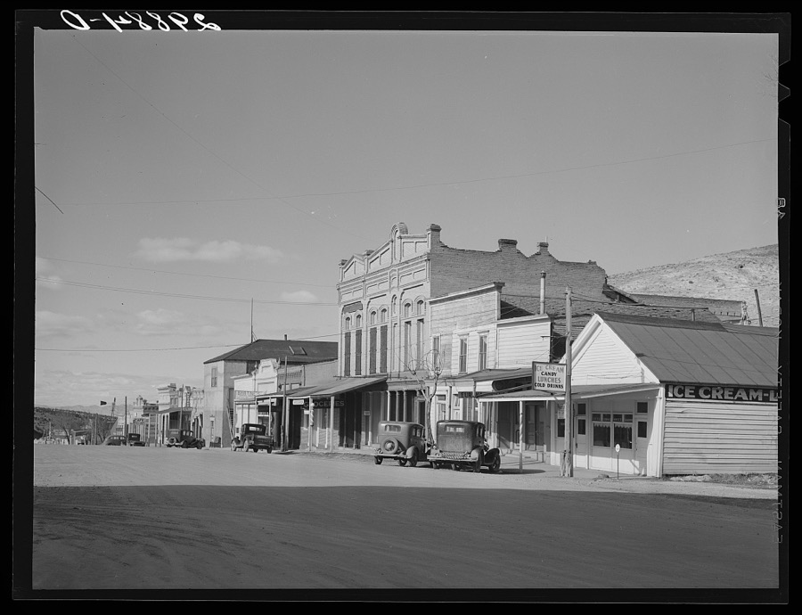
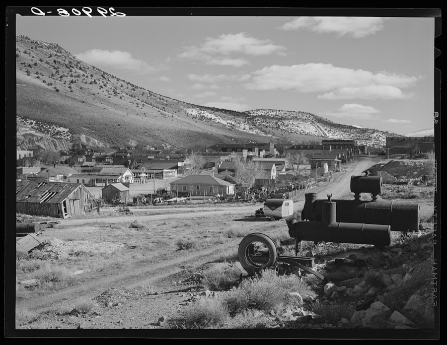
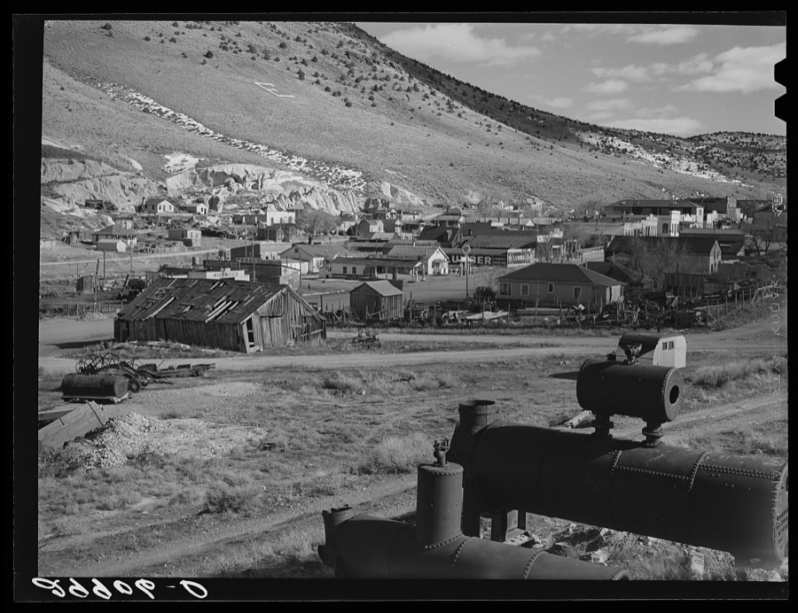
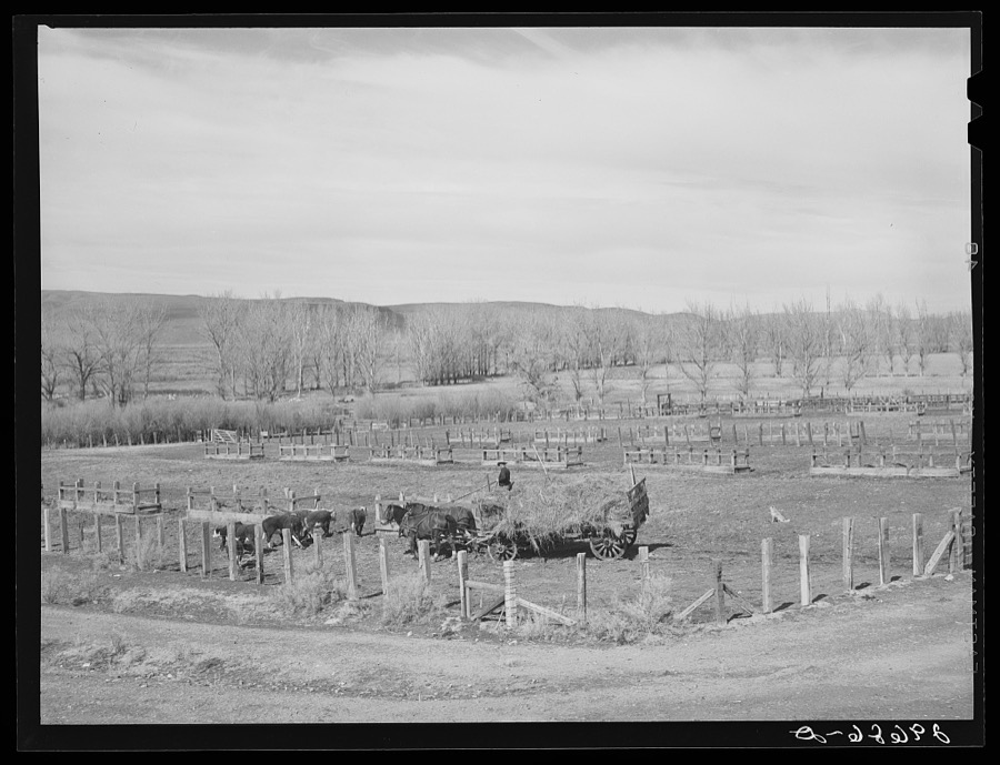
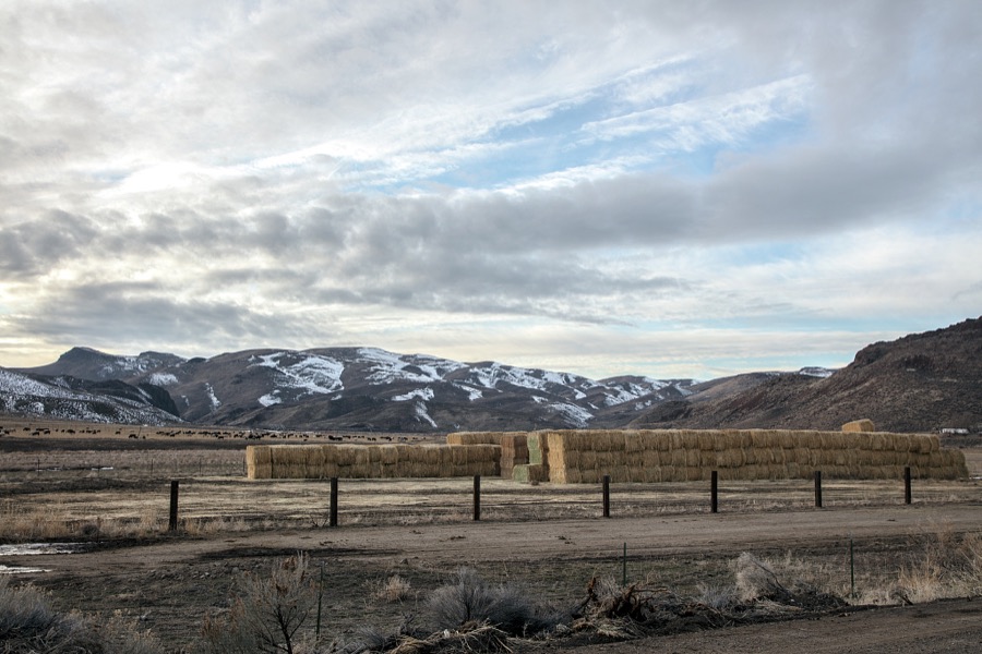
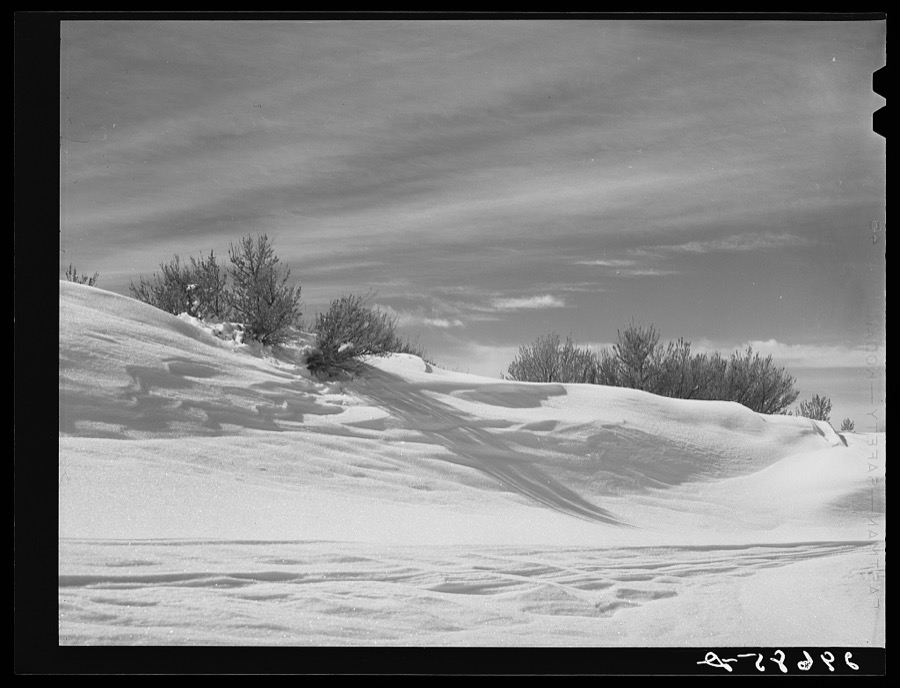
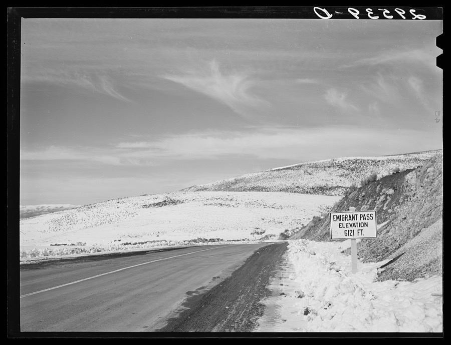
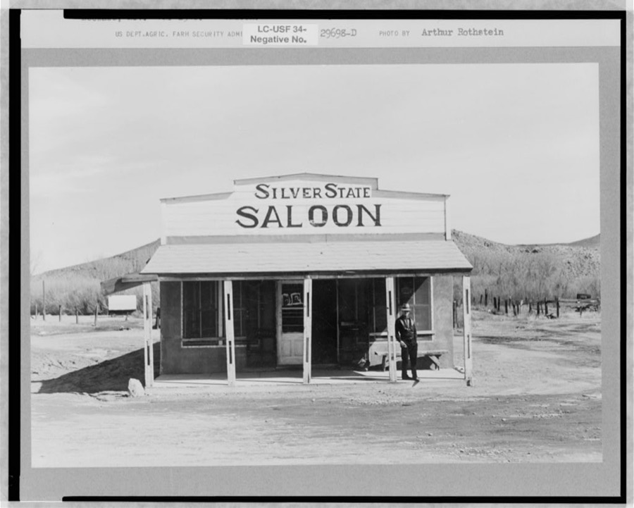
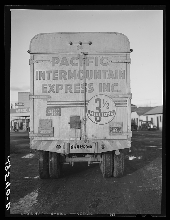
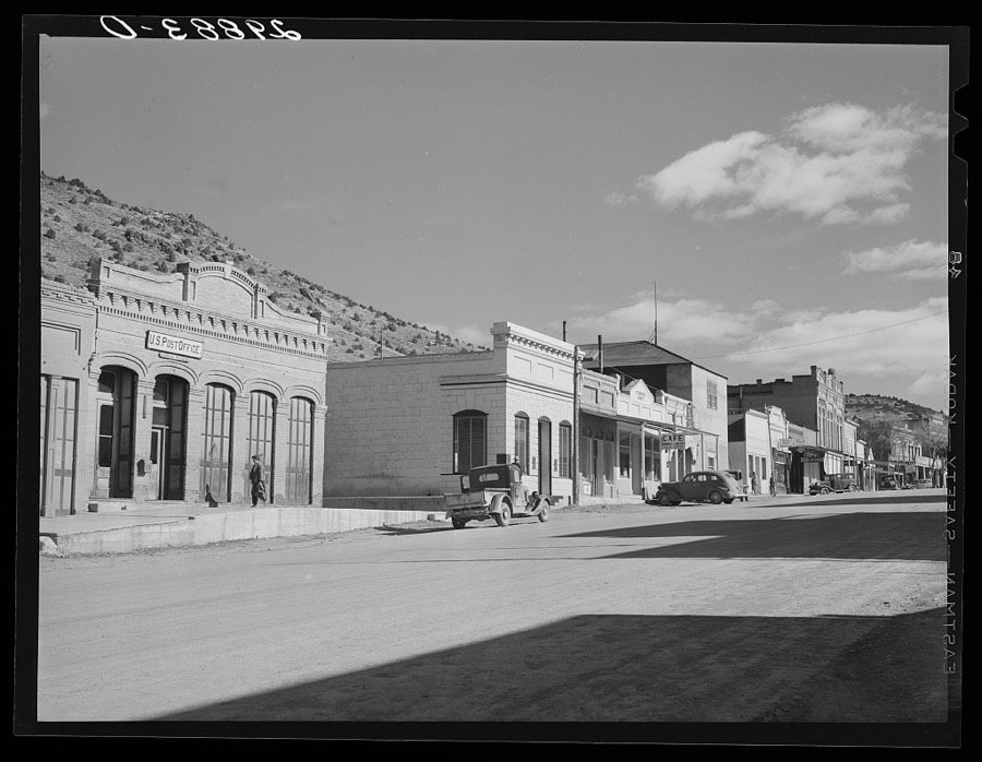
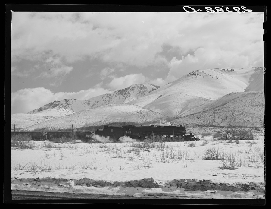
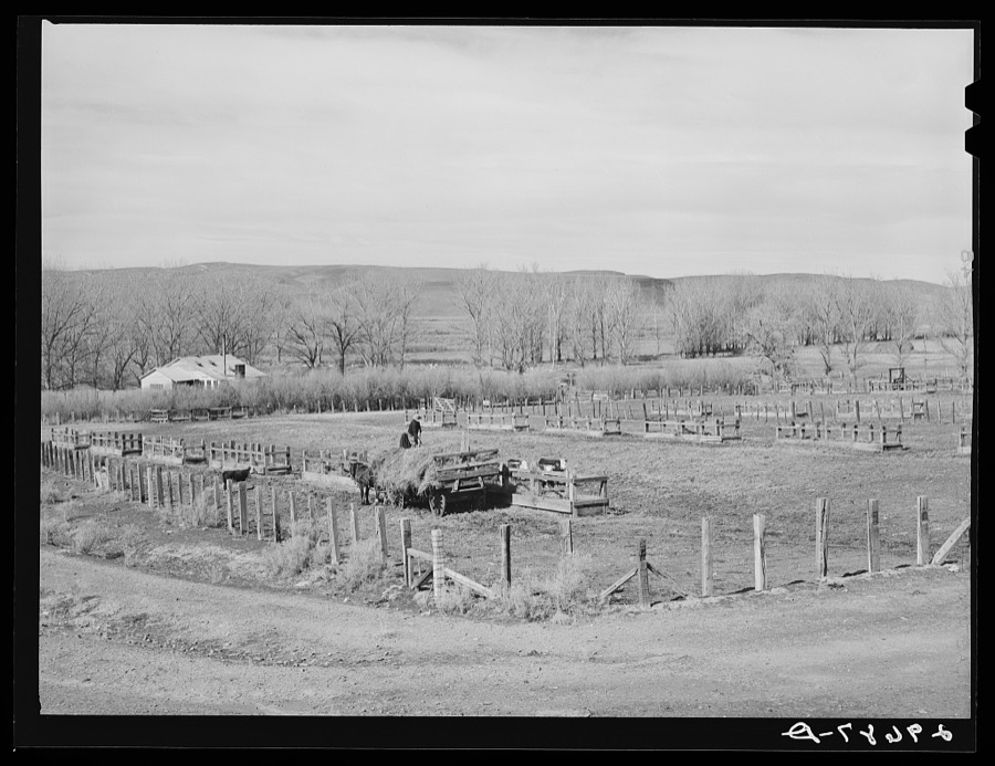
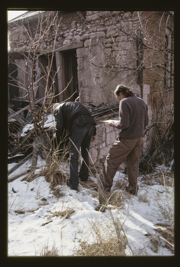
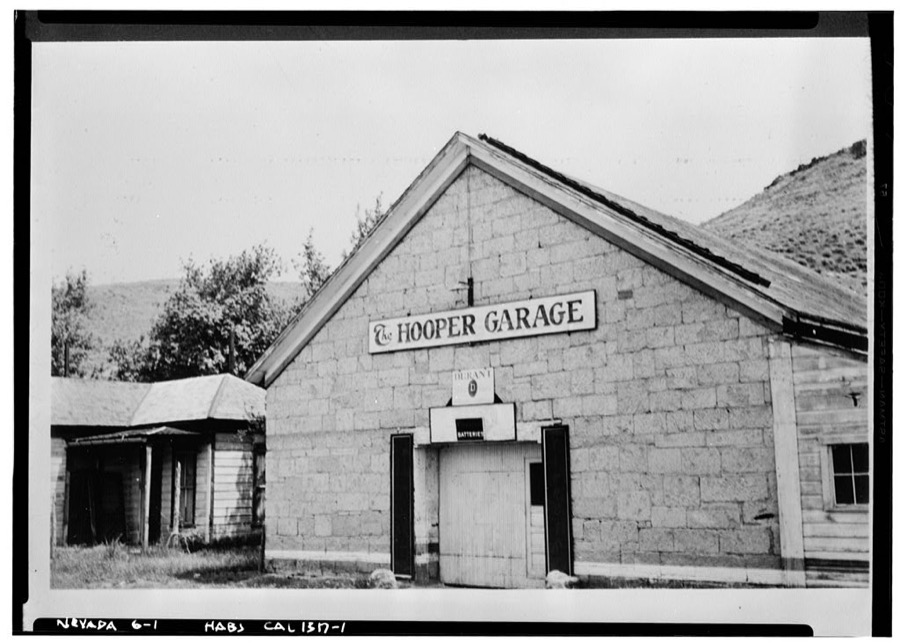
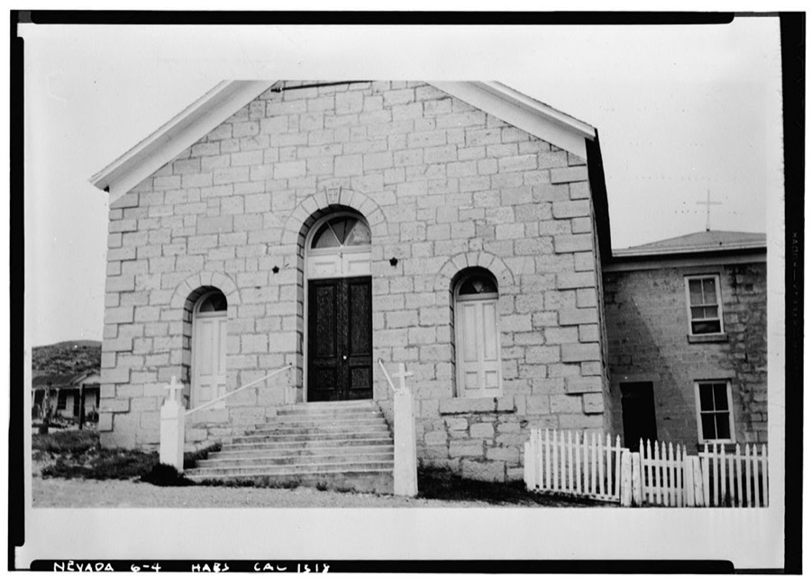
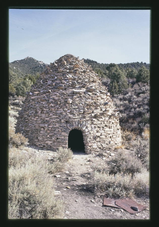
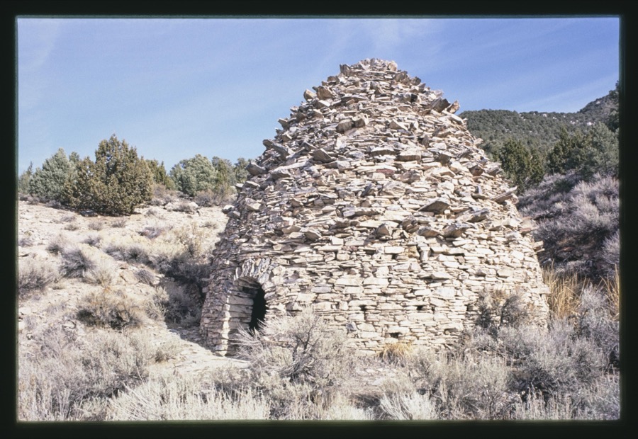
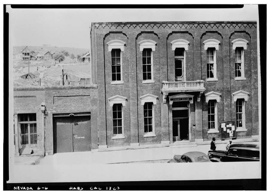
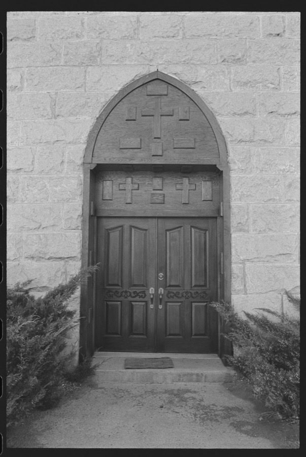
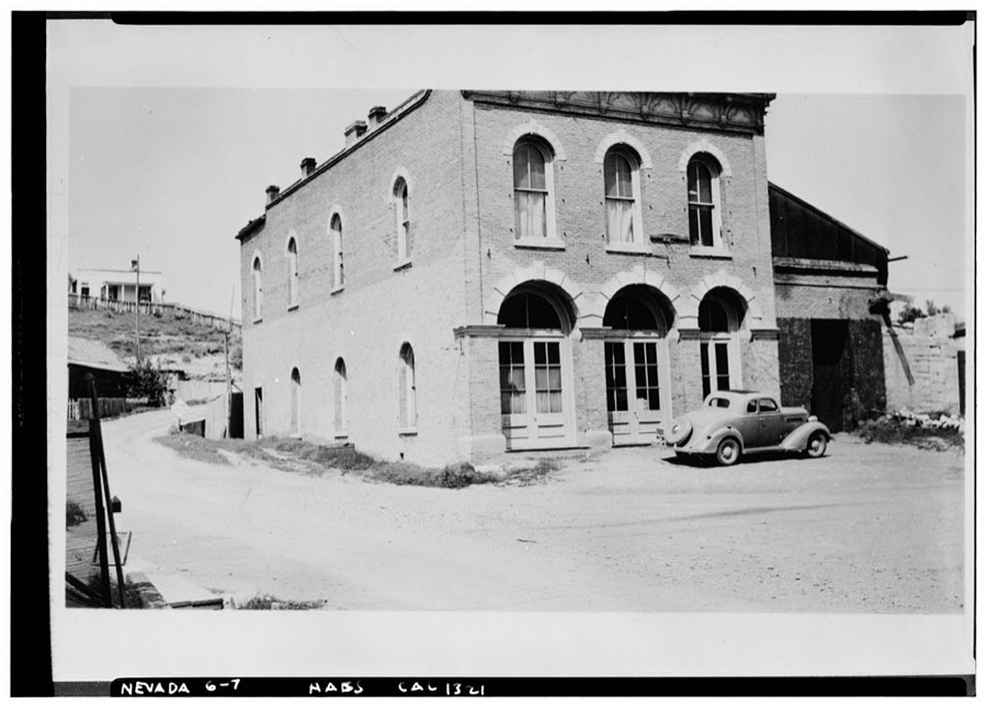
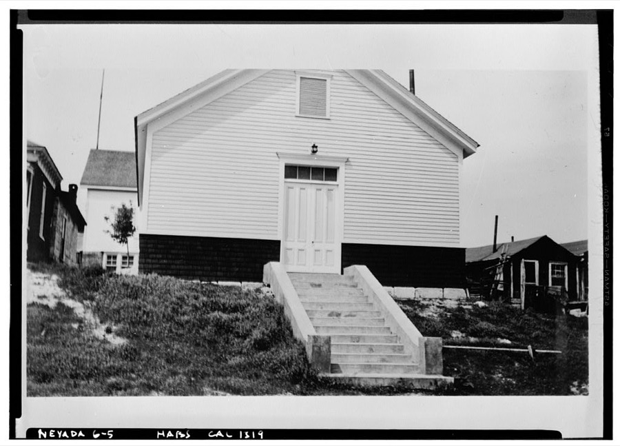
Every property in this county listed on the National Register of Historic Places, with the year it was listed and the federal nomination document.
| Photograph | Property | Type | Listed | Reference |
|---|---|---|---|---|
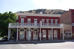 | Eureka Historic District | district | 1973 | 73001078 |
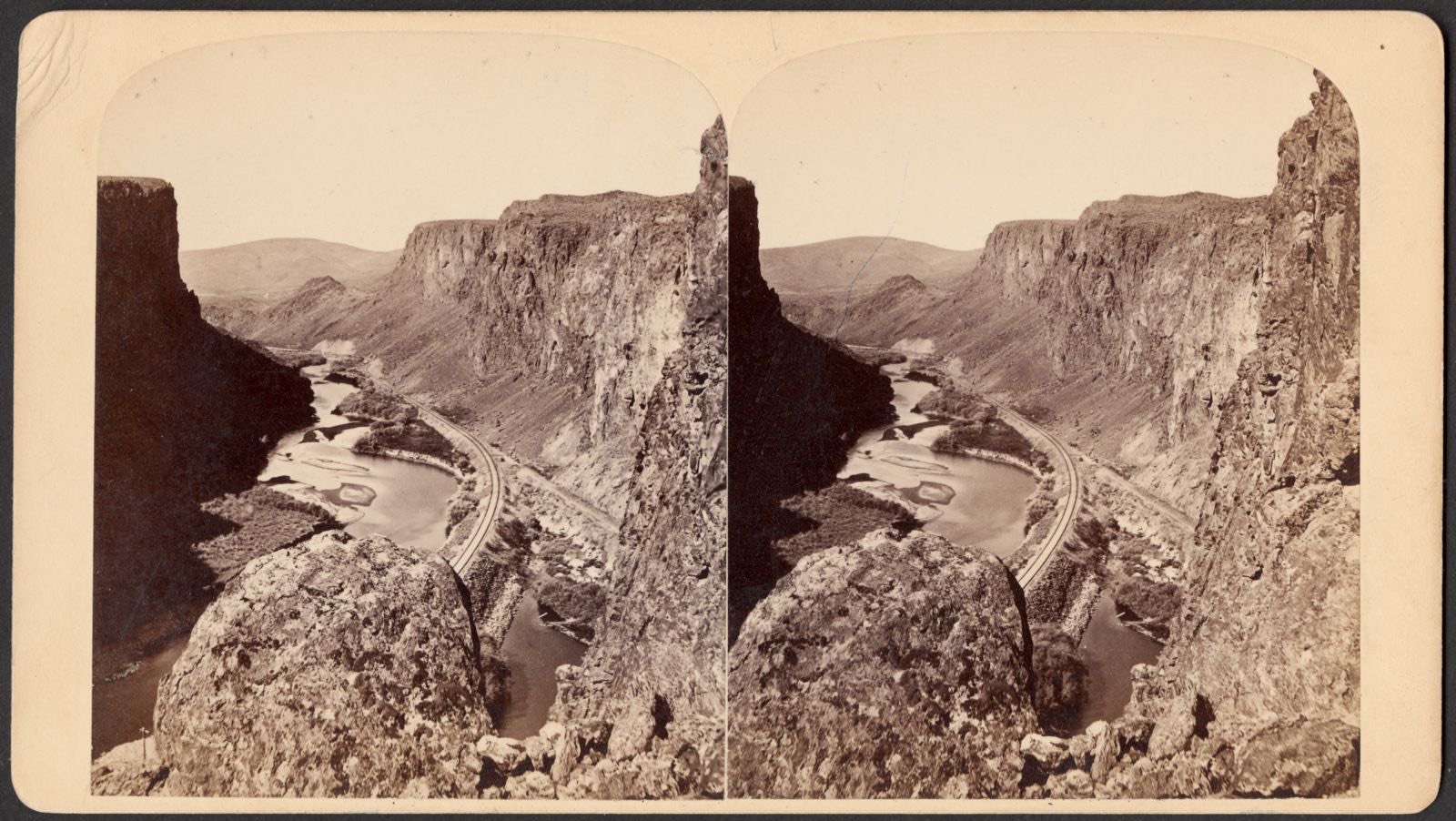
Selected from the Digital Public Library of America's 2 image records catalogued for this county. Every one shown here carries a public-domain status or a licence that permits reuse on a site that carries advertising; non-commercial, share-alike and restricted images are excluded. The selection is spread across the county's towns (at most eight per town), so no single institution's bulk upload crowds out the rest. Each opens the holding library's record, and the complete set at the Digital Public Library of America is one click away.
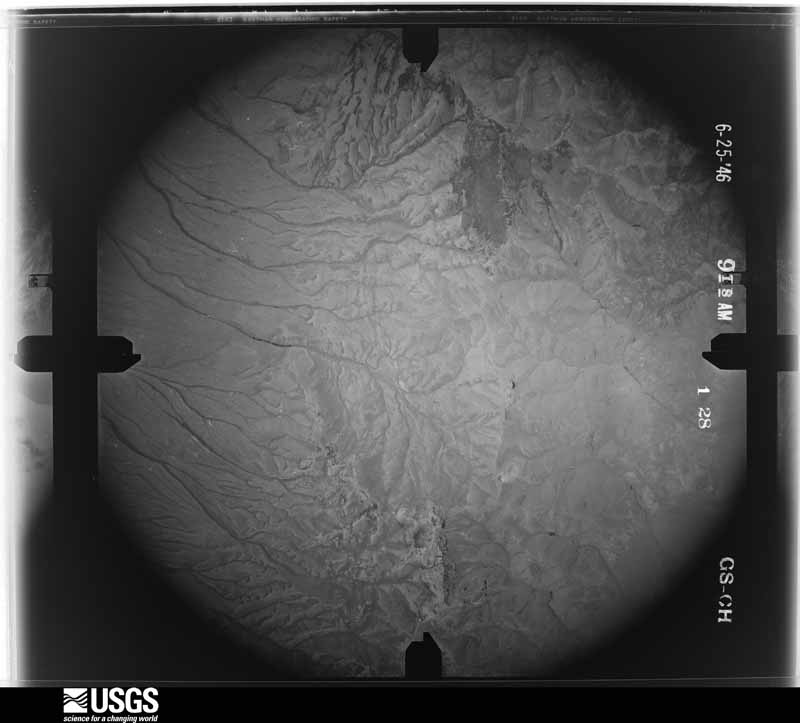
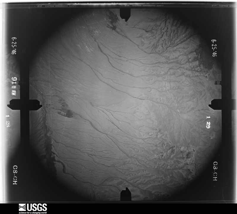
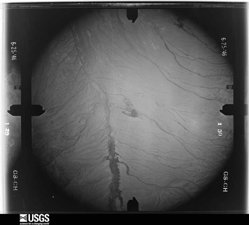
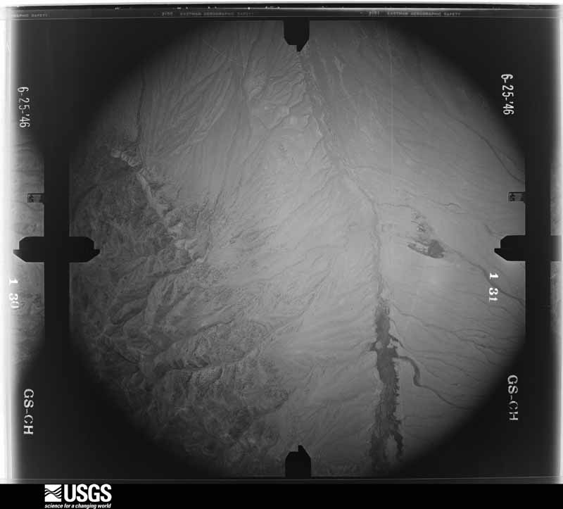
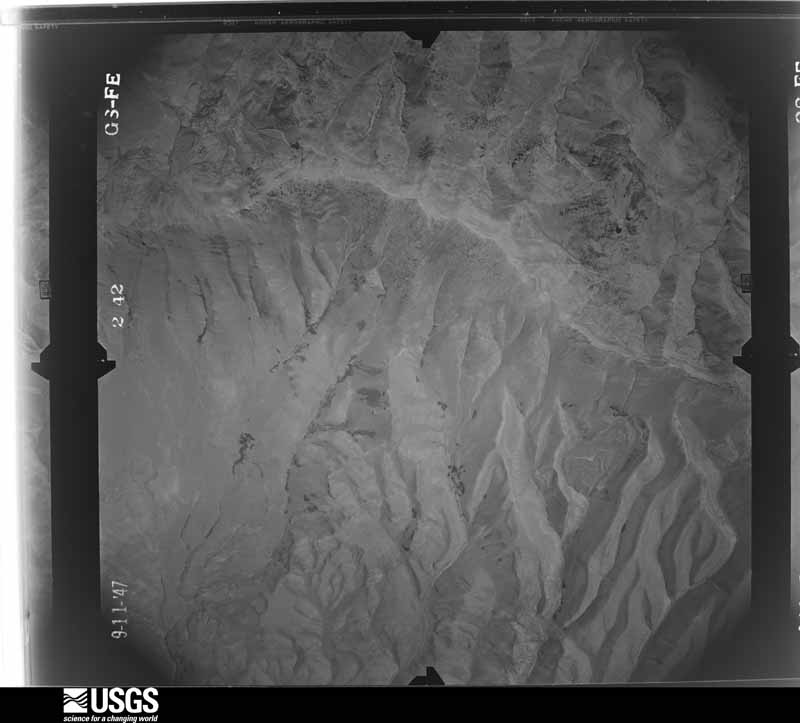
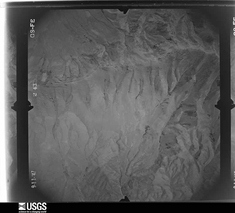
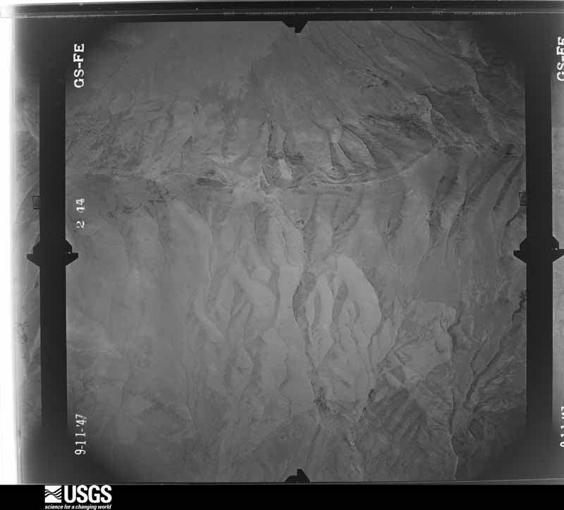
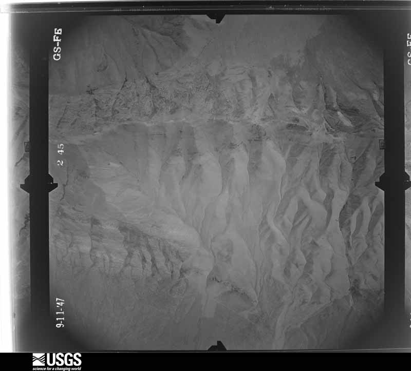
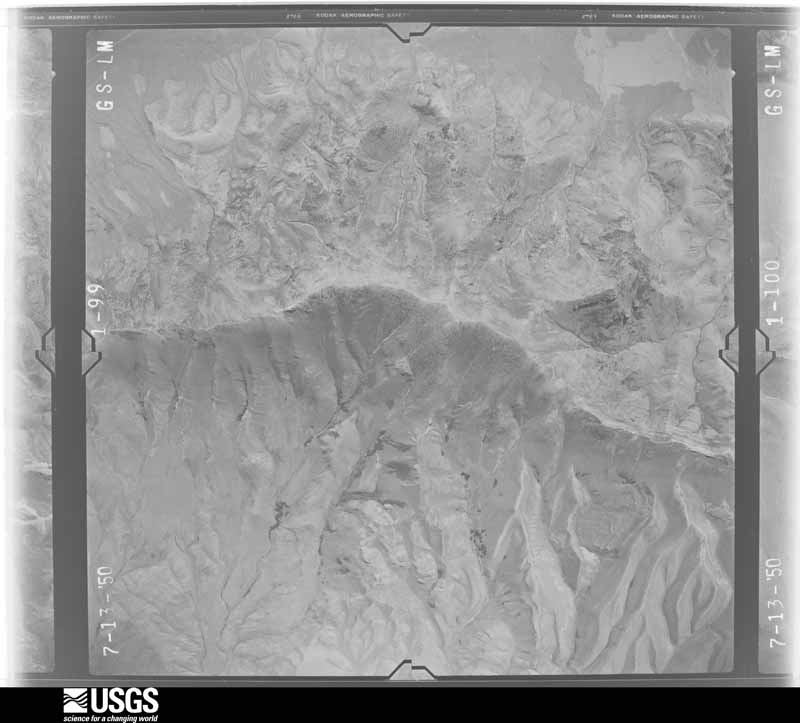
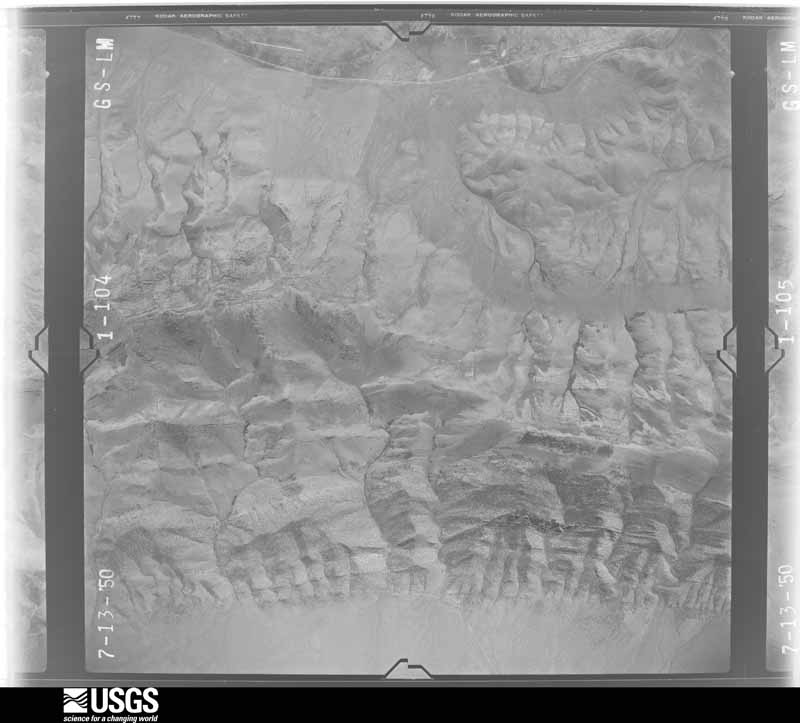
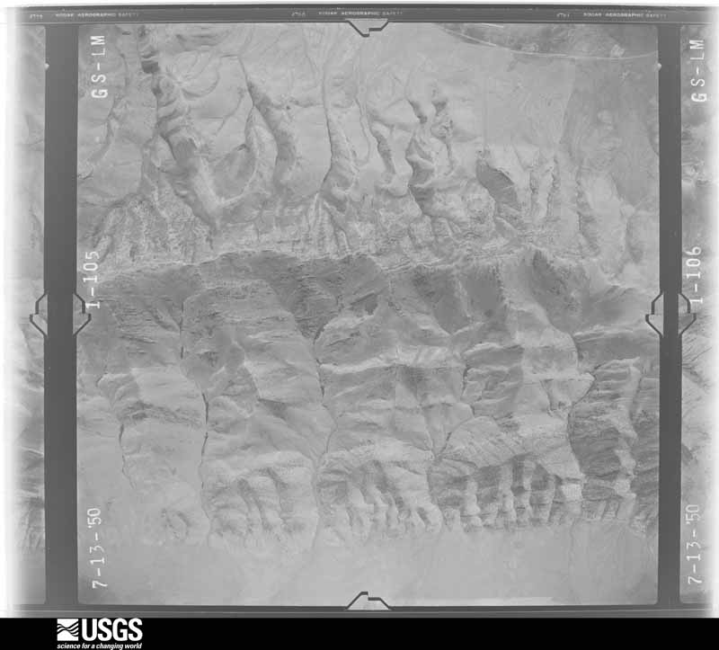
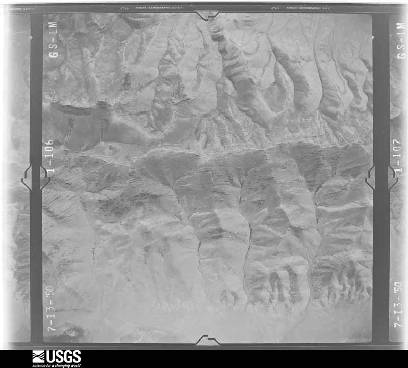
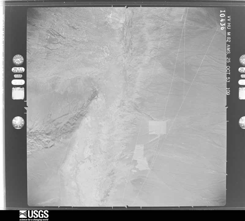
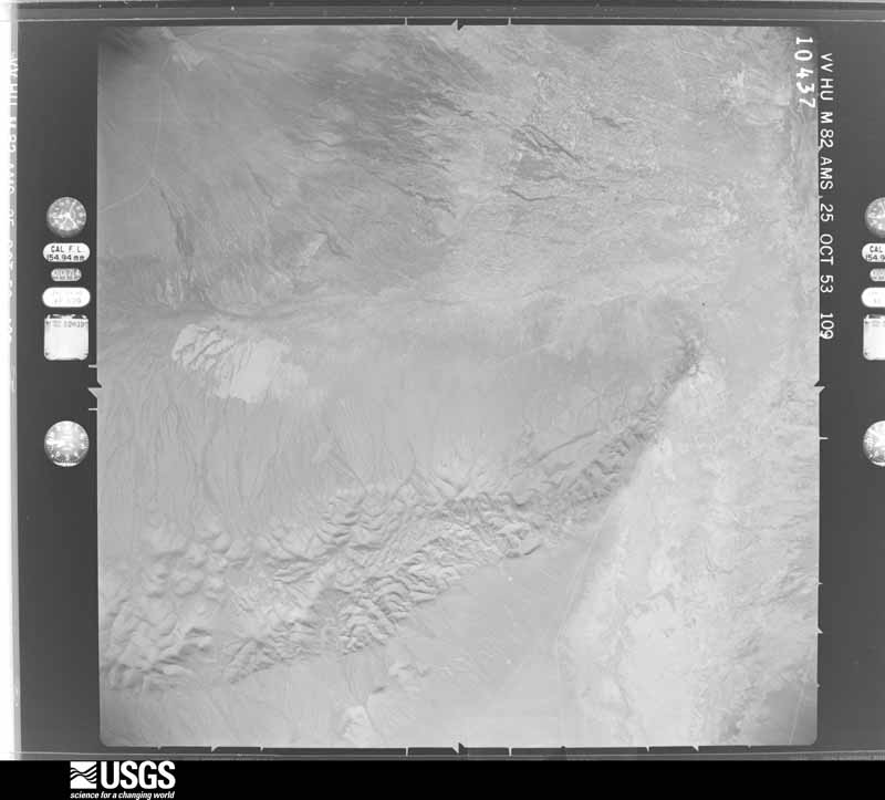
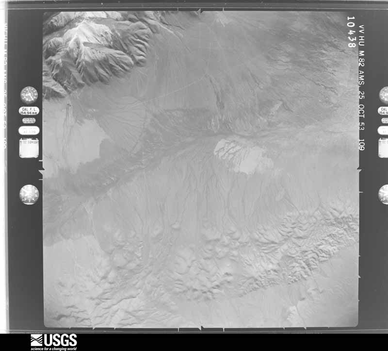
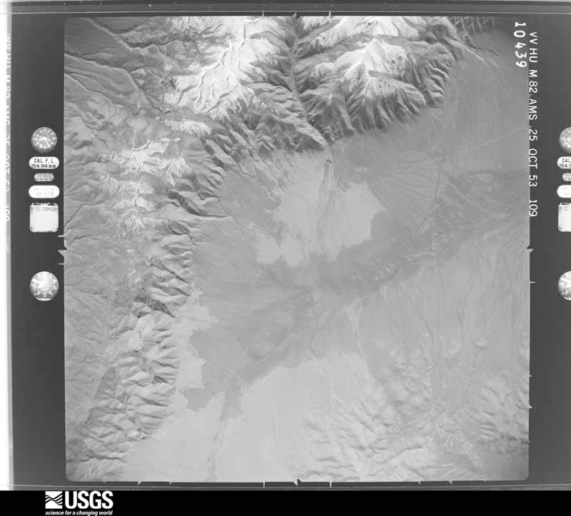
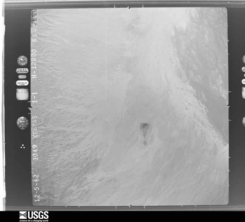
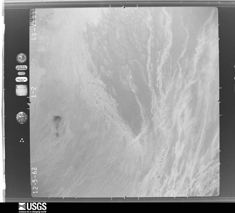
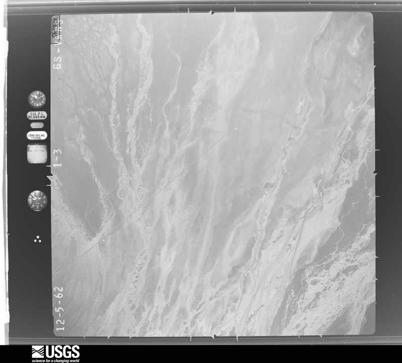
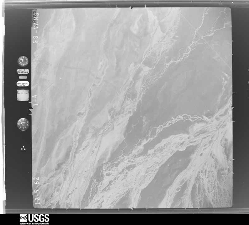
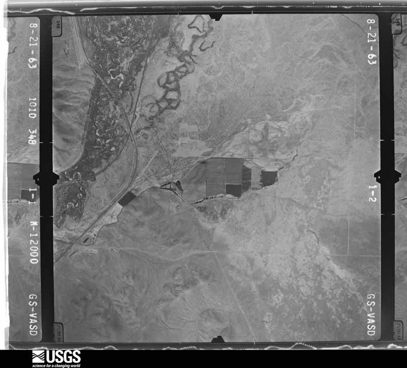
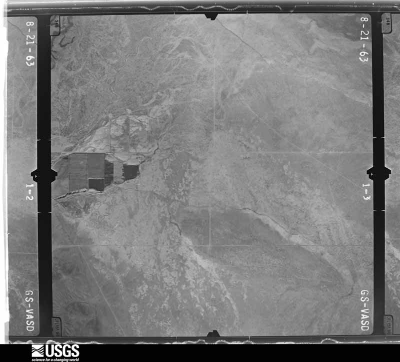
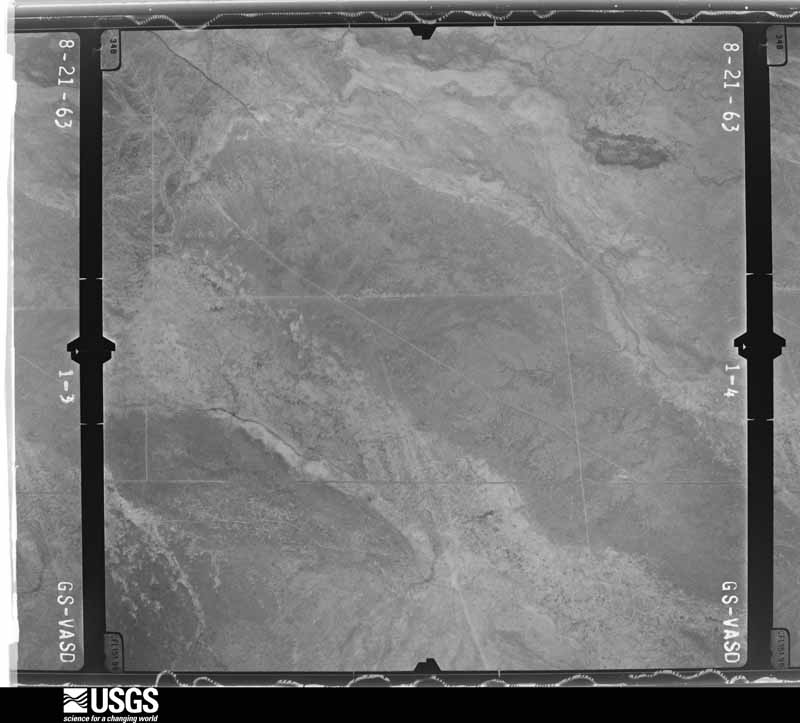
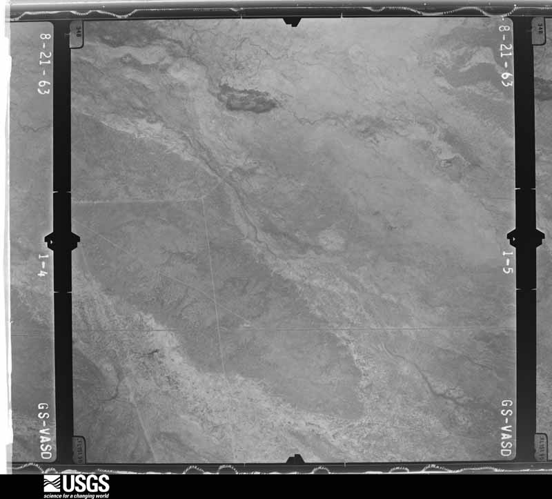
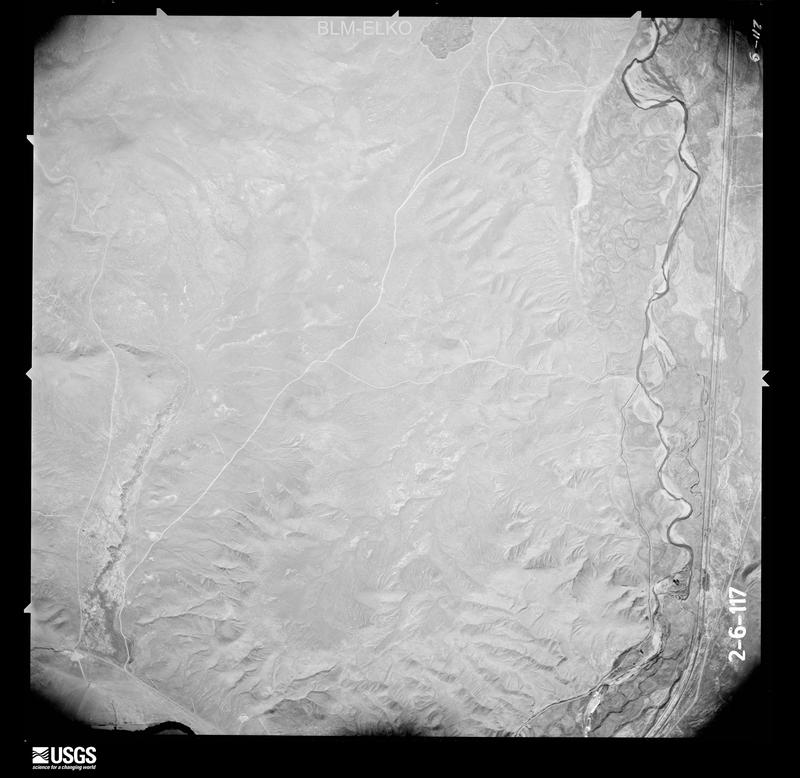
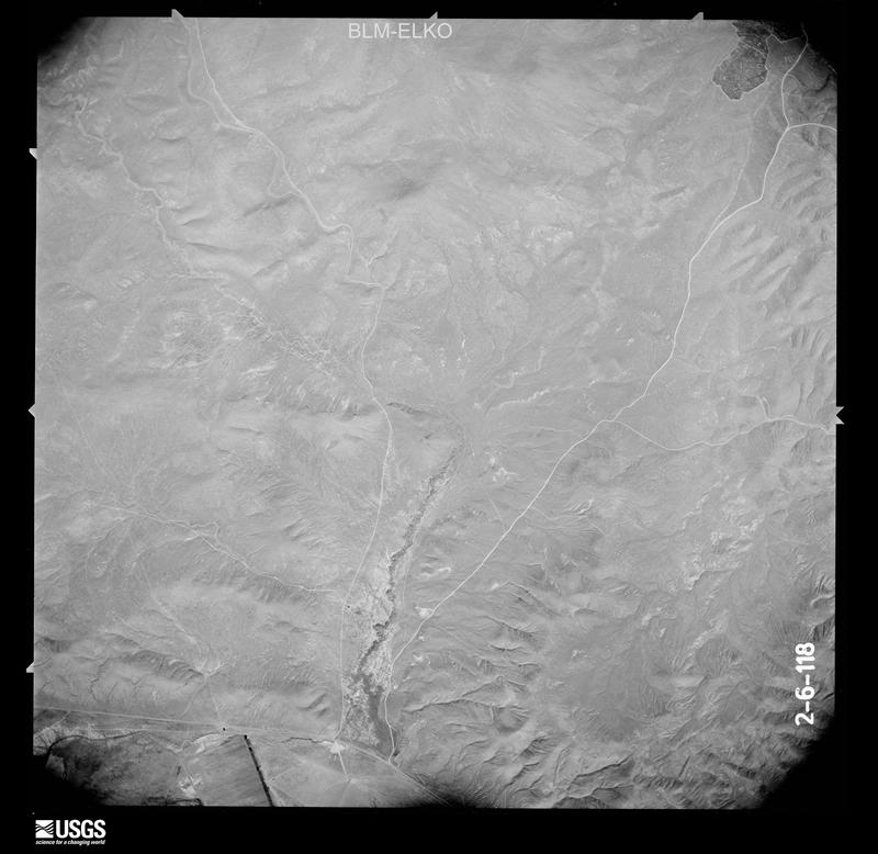
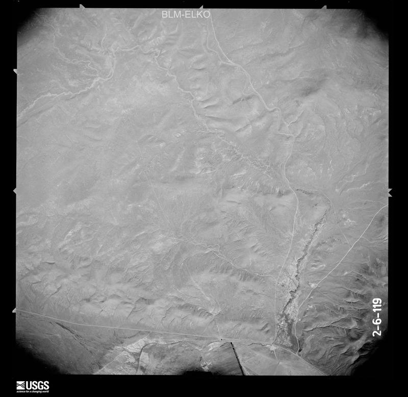
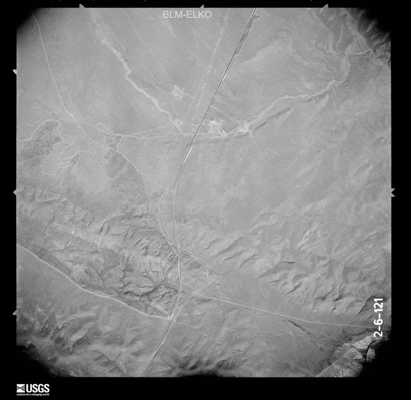
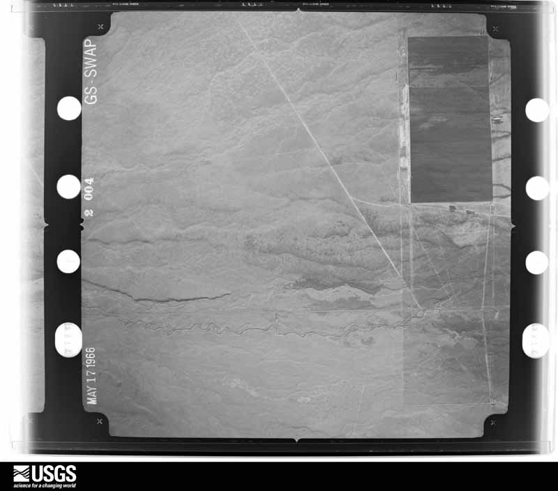
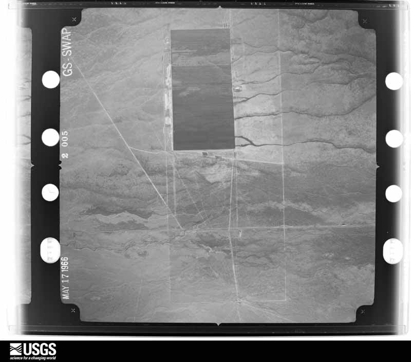
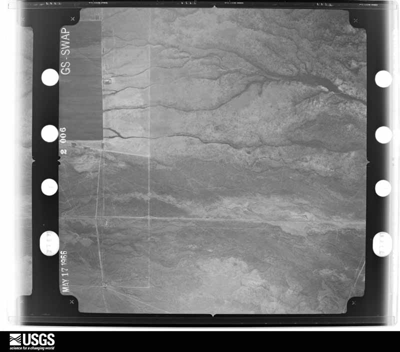
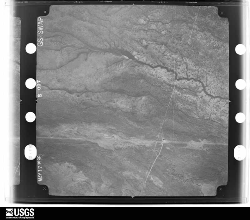
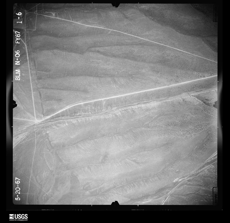
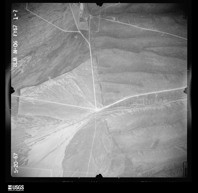
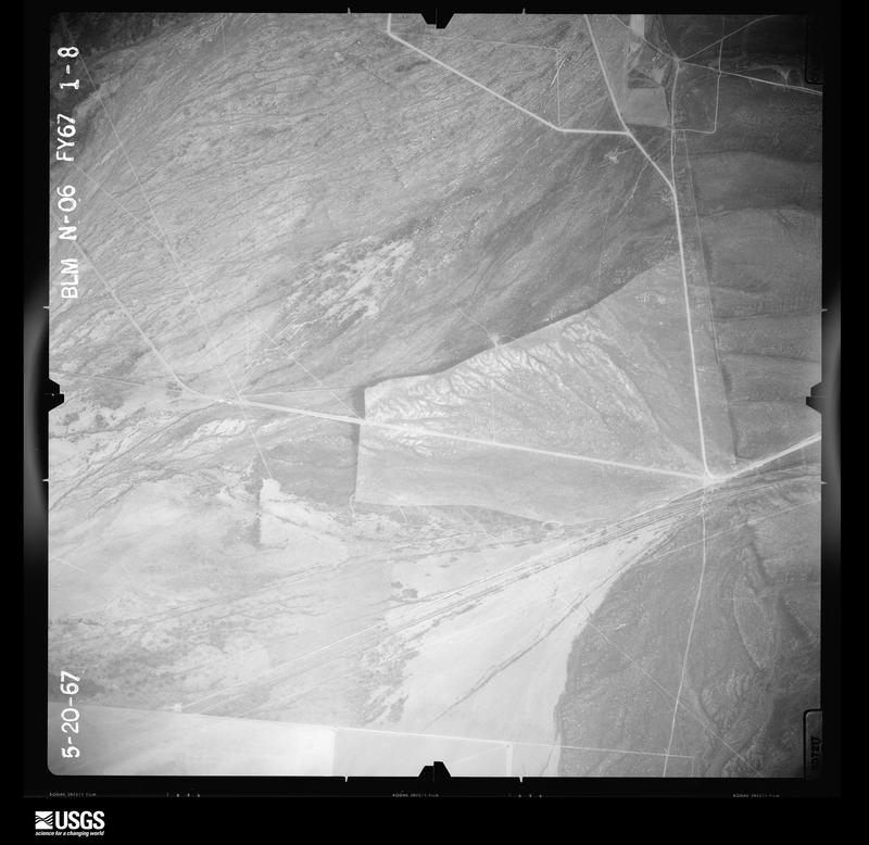
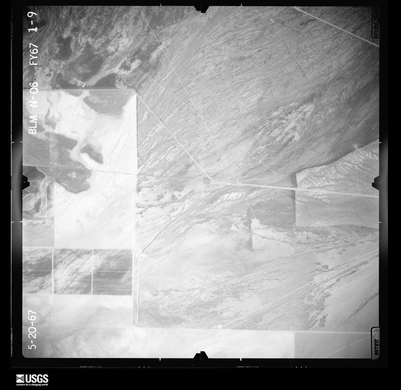
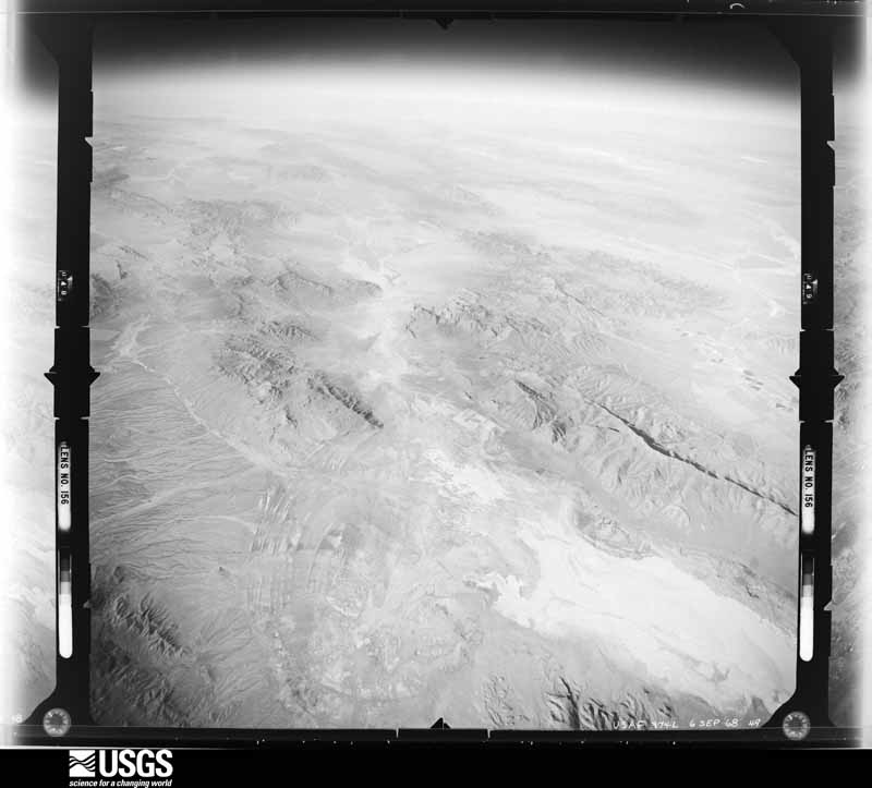
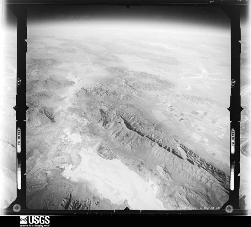
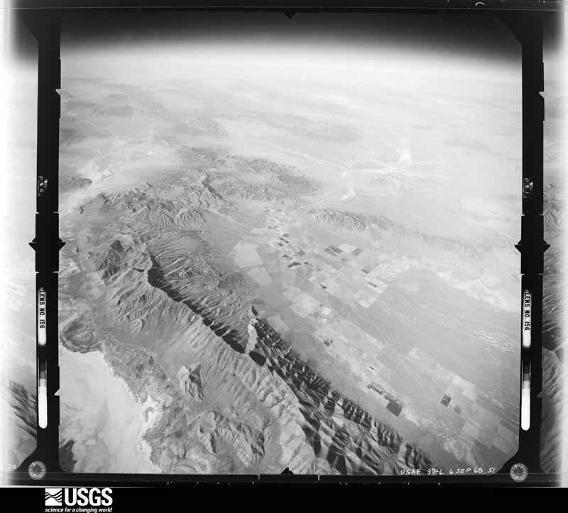
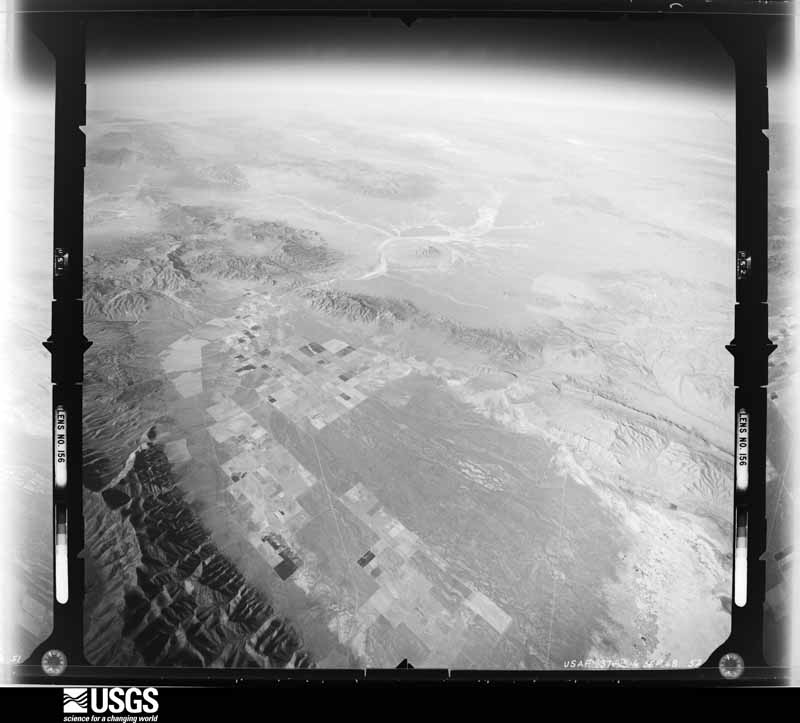
Flown by the U.S. Geological Survey between 1937 and 1989, the Aerial Photo Single Frames collection is the definitive mid-century view of the land: fields, roads and rivers as the camera saw them. The Survey holds 12,527 frames inside the rectangle that bounds this county; the 48 frames below were taken over the county itself, chosen across the decades of flights (at most four a year from that rectangle), so one flight cannot crowd out the rest. The full set is free to browse and download at EarthExplorer under the dataset Aerial Photo Single Frames.
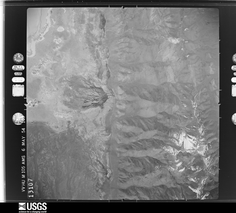
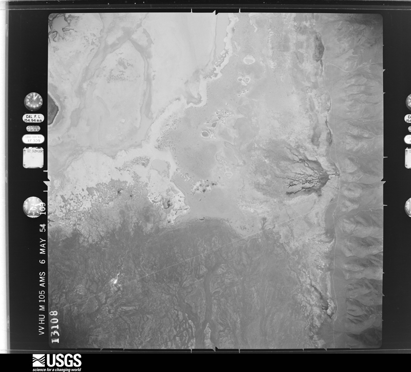
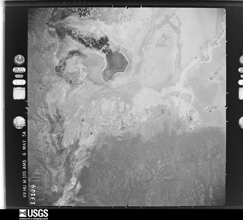
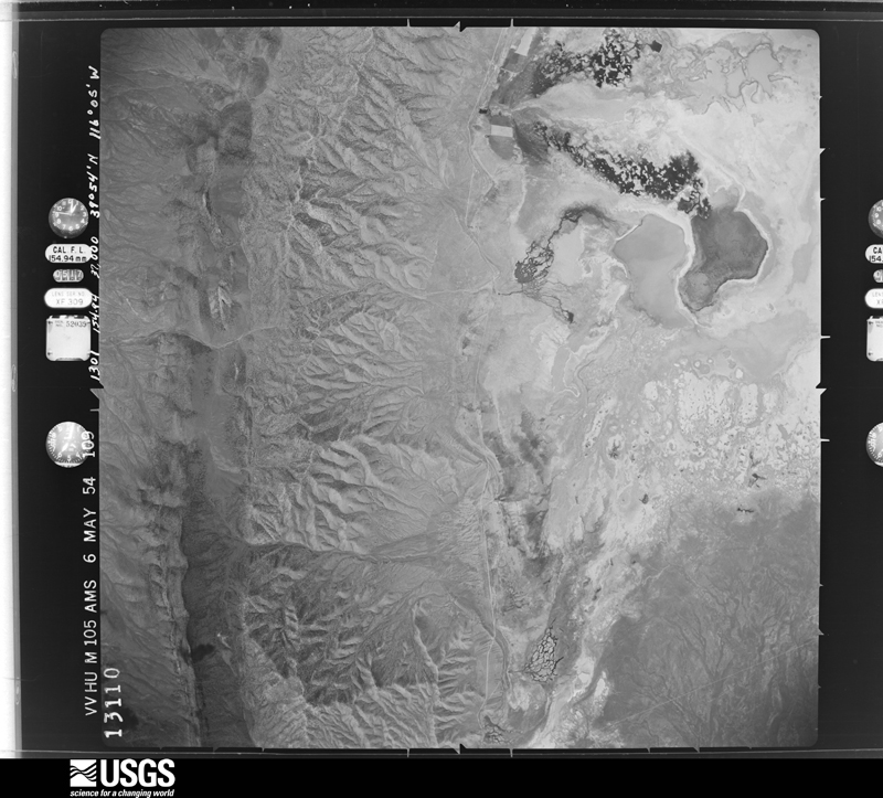
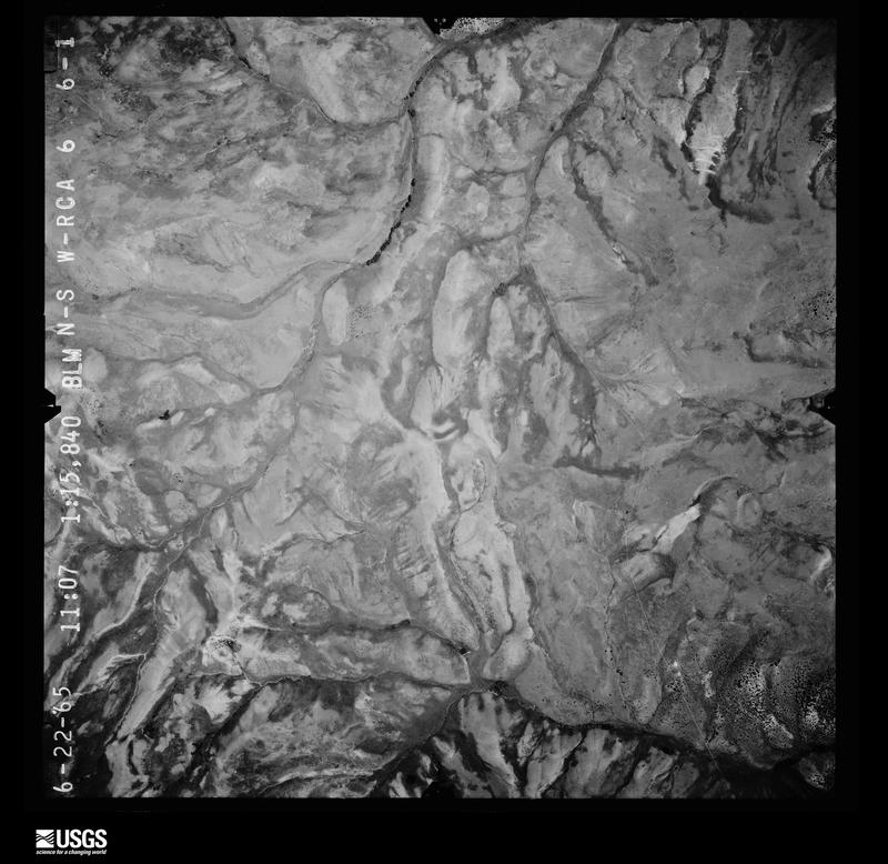
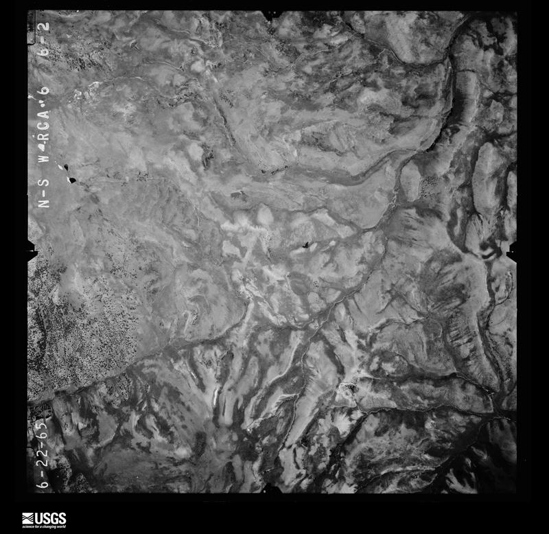
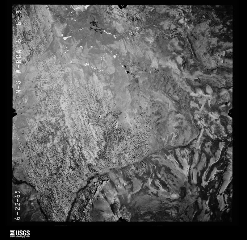
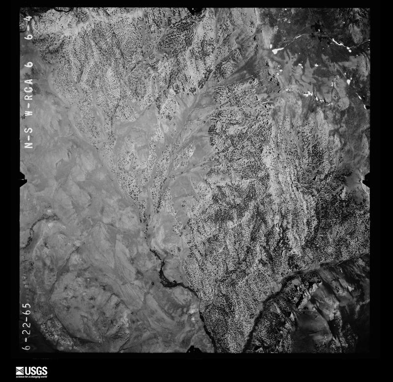
The thermometers that kept this county's weather, and the gages that measured the flow of its streams, as the federal records hold them. The extremes below are measured values from those records, not estimates.
Who lived here in 1950, one enumeration district at a time, as the Census Bureau described each district. Each row opens its official National Archives result, with Population Schedules and ED Maps available there.
Every wildfire the federal occurrence database records inside this county: 806 of them, burning about 692,866 acres. 590 started naturally and 13 were recorded as arson. Each settlement page carries the fires within five miles of it.
| Reported cause | Fires |
|---|---|
| Natural | 590 |
| Missing data/not specified/undetermined | 102 |
| Equipment and vehicle use | 50 |
| Power generation/transmission/distribution | 15 |
| Arson/incendiarism | 13 |
| Railroad operations and maintenance | 9 |
| Debris and open burning | 8 |
| Recreation and ceremony | 7 |
| Fireworks | 7 |
| Smoking | 2 |
| Firearms and explosives use | 1 |
| Other causes | 1 |
| Misuse of fire by a minor | 1 |
The five largest, by the area the report gives. None of them was recorded as arson.
| Date | Cause | Size | Reported by | Name on the report |
|---|---|---|---|---|
| 30 September 2011 | Natural | 110,827 acres | Elko District Office | INDIAN CREEK |
| 4 August 1999 | Natural | 54,677 acres | Elko District Office | FRENCHIE |
| 12 August 2001 | Natural | 53,317 acres | Winnemucca District Office | CLEAR CRK |
| 30 September 2011 | Natural | 48,672 acres | Elko District Office | CHUKKAR CANYON |
| 6 August 1999 | Natural | 48,479 acres | Elko District Office | ROSE |
| 10 September 1996 | Natural | 29,135 acres | Elko District Office | FRENCHIE |
| 17 July 2007 | Natural | 28,979 acres | Elko District Office | DUNPHY |
| 26 August 1996 | Natural | 27,972 acres | Elko District Office | BOBS FLAT |
Every settlement page carries the fires within five miles of it - see the settlement index below.
The NOAA Storm Events Database holds 98 reports for this county, causing no deaths, no injuries and about $7,524,030 in recorded property damage. Each settlement page carries the reports that name it.
| Kind of event | Reports |
|---|---|
| Thunderstorm Wind | 41 |
| Flash Flood | 26 |
| Hail | 14 |
| Flood | 11 |
| Tornado | 3 |
| Funnel Cloud | 2 |
| Debris Flow | 1 |
The most serious of them, by death, then injury, then recorded damage. The accounts are quoted exactly as the forecast office filed them.
| When | Event | Place named | Harm | What the report says |
|---|---|---|---|---|
| March 2023 | Flood | (P68)Eureka | $4,000,000 | Across Diamond Valley, warm temperatures, rainfall and snowmelt caused flooding and road closures at El Paso Street, from 3rd to 4th Street. 4th Street, from El Centro to El Paso. El Dorado, from El Centro to El Paso. El Rancho, from El Centro to El Paso. El Gato, from El Centro to El Paso. 3rd Street, from El Centro to Desert Street. Eagle Street was also closed due to flooding from the north side of US-50 to 3rd street. |
| March 2023 | Flood | Eureka | $800,000 | Across Antelope Valley, warm temperatures, rainfall and snowmelt caused flooding and road closures of Antelope Valley Road from US-50 to Three C Roads. Flooding and road closures also occurred at Roberts Creek Road from US-50 to McEwen Mine. Three Bars Road flooded and has been lost completely and will have to be rebuilt with new culverts. |
| March 2023 | Flood | (P68)Eureka | $800,000 | Warm temperatures, rainfall, and snowmelt caused flooding of west 10th street from SR278 to Rose Road. Law enforcement later reported the road has been washed out. |
| March 2023 | Flood | (P68)Eureka | $500,000 | Across Diamond Valley, warm temperatures, rainfall and snowmelt caused flooding and road closures Saddler Brown Road. Sheriffs office reported that the roadway was separating. |
| May 2021 | Hail | (P68)Eureka | $500,000 | Hail size of 1.00 inch confirmed from pictures off Facebook. Damage to windows, homes, and vehicles was also reported with pictures. |
| March 2023 | Flood | Tonkin | $300,000 | Across Pine Valley, warm temperatures, rainfall and snowmelt caused flooding and road closures of Willows (Alpha) Road. Flooding and road closures also occurred at Moiarelli Mine Road (MM62) from SR278 towards the west. Flooding also occurred at Tonkin road from JD to the Tonkin Reservoir. |
| August 2007 | Flash Flood | (P68)Eureka | $297,000 | Heavy rains on the hilly terrain in and around Eureka produced large amounts of runoff that damaged about a dozen homes and a few businesses. One home had 4 feet of mud in the basement. Many washouts occurred on rural roads. Flooding was also reported across state highway 278 about 7 miles north of Eureka. The Eureka county airport reported 1.63 inches of rain but the radar indicated the heaviest rain occurred just west of downtown Eureka with radar estimates of 2 to 3 inches. |
| March 2023 | Flood | (P68)Eureka | $200,000 | In the Palisades and Beowawe/Stafford Canyon Area, warm temperatures, rainfall and snowmelt caused flooding and road closures of Barth Road to Airplane Summit. Rock Canyon/Stafford Canyon to Barth was also closed due to flooding. |
| June 2019 | Hail | (P68)Eureka | $50,000 | A thunderstorm dropped pea-sized hail, approximately two inches deep, over an area causing damage. |
| March 2023 | Flood | (P68)Eureka | $10,000 | Warm temperatures, rainfall, and snowmelt caused flooding of SR278, and a minor mudslide at mile marker (MM75). SR278 was reduced to 1 lane. |
| March 2023 | Flood | Eureka | $10,000 | Warm temperatures, rainfall, and snowmelt caused flooding of Duckwater Road in the Fish Creek Area. Duckwater Road was reduced to 1 lane at the Eureka-White Pine County line. |
| March 2023 | Flood | (P68)Eureka | $10,000 | Warm temperatures, rainfall, and snowmelt caused flooding of SR278, and a minor mudslide at mile marker (MM77). SR278 was reduced to 1 lane. |
| August 2014 | Flash Flood | (P68)Eureka | $10,000 | The Department of Transporation reported significant flash flooding in Willow Creek Canyon. Indian Creek and Snowball Creek also had reports of flash flooding. Damage to roads were also noted around ranches in the valley. Damages are estimated. |
| August 2017 | Flash Flood | Eureka | $5,000 | A road was washed out by a flash flood. Damages are estimated. |
| June 2015 | Flood | Dunphy | $5,000 | The Eureka county heriffs department reported flooding and mud on State Route 306 between mile marker 16 and Interstate 80, and flooding on State Route 278 between mile marker 61 and 74. Damages are estimated. |
| August 2014 | Hail | Palisade | $5,000 | Public reported hail size ranged from dimes to larger than quarters at the Gold Quarry Mine. The hail dented vehicles and broke at least one window. Damages are estimated. |
| September 2014 | Flash Flood | (P68)Eureka | $5,000 | NDOT shared a video of flash flooding on a county road on the west side of the Diamond Range. Time was estimated off of radar. A 20 foot section of culvert was washed away. Damages are estimated. |
| August 2017 | Flash Flood | Eureka | $3,000 | Multiple roads in the area showed evidence of flash flooding. Damages are estimated. |
| July 2015 | Flash Flood | Dunphy | $3,000 | Heavy rain caused water and debris to flow over State Route 306 between Interstate 80 and the river near Beowawe in 4 different places. Damages are estimated. |
| August 2015 | Flash Flood | (P68)Eureka | $3,000 | The Eureka County Sheriff reported flash flooding on county route 101 and Highway 50 north and west of Eureka. Damages are estimated. |
| July 2008 | Thunderstorm Wind | Crescent Vly Arpt | $2,000 | Thunderstorm winds blew down a large tree onto a fence and pickup truck. A shed was blow over and some minor roof damage was reported. |
| July 2015 | Flash Flood | Eureka | $1,000 | Very heavy rain caused Fish Creek to overflow its bank and flow across state road 379. The water was at least 6 inches deep. Damages are estimated. |
| August 2014 | Flash Flood | (P68)Eureka | $1,000 | Flash flooding and debris were observed across Mustang Road in the Diamond Valley area.|Damages estimated. |
| September 2011 | Flash Flood | Eureka | $1,000 | Spotter reported rivers running through their property. Later in the day they attempted to drive to Eureka but the Antelope Valley road was covered in water. |
| July 2013 | Flash Flood | (P68)Eureka | $1,000 | no account filed |
| May 2017 | Thunderstorm Wind | (P68)Eureka | $500 | Thunderstorm winds gusting up to 67 mph produced minor wind damage per public reports. |
| August 2014 | Flash Flood | (P68)Eureka | $500 | Thunderstorms with heavy rain produced flash flooding on State Route 278 between mile markers 14 and 17. A plow truck was needed to clear debris and water off the road. Damages estimated. |
| September 2014 | Flash Flood | Tonkin | $500 | Water was observed flowing across State Route 278 at mile marker 32. Damages estimated. |
| September 2014 | Flash Flood | Palisade | $500 | Heavy rain resulted in 2 feet of water flowing across state route 278 about 6 miles south of Carlin. Damages estimated. |
| August 1983 | Tornado (F0) | not stated | $30 | no account filed |
| March 2024 | Thunderstorm Wind | Tonkin | - | Station (COIN2) Coils Creek Raws, Elevation 6745 feet. |
| July 2024 | Thunderstorm Wind | Tonkin | - | Station (COIN2) Coils Creek, Elevation 6745 ft. |
| September 2024 | Thunderstorm Wind | (P68)Eureka | - | Station (KP68) Eureka Airport ASOS, Elevation 5945 ft. |
| July 2023 | Thunderstorm Wind | Beowawe | - | Station (UP972) EBEOW1 upr, Elevation 4735 feet. |
| July 2023 | Thunderstorm Wind | (P68)Eureka | - | Station (KP68) Eureka Airport Asos, Elevation 5945 feet. |
| April 2023 | Flood | Palisade | - | SR 278 was closed from Carlin to US-50 (88 Mile Stretch). At MM73, Water was reported over the roadway, which caused the highway to collapse (sinkhole). Other areas of flooding were observed, where 12 plus inches of water was reported over the southbound side of the highway. The road remains closed indefinitely. |
| June 2023 | Thunderstorm Wind | Tonkin | - | Station (COIN2) Coils Creek, Elevation 6745 feet. |
| June 2023 | Thunderstorm Wind | Tonkin | - | Station (COIN2) Coils Creek, Elevation 6745 feet. |
| June 2023 | Thunderstorm Wind | Tonkin | - | Station (COIN2) Coils Creek, Elevation 6745 feet. |
| September 2023 | Thunderstorm Wind | Tonkin | - | Station (COIN2) Coils Creek Raws, Elevation 6745 feet. |
| May 2022 | Thunderstorm Wind | Beowawe | - | Downburst winds occurred at station (UP972) 3.2 E Beowawe, Elevation 4734 feet. |
| July 2022 | Thunderstorm Wind | (P68)Eureka | - | Station (KP68) Eureka Airport AWOS, Elevation 5952 feet. |
| July 2022 | Thunderstorm Wind | Eureka | - | Station (COMN2) Combs Canyon Raws, Elevation 6590 feet. |
| August 2022 | Debris Flow | (P68)Eureka | - | Eureka County Sheriffs Office reported on their Facebook page that SR-278 was closed at mile marker 73 due to a mudslide. This was caused by heavy rain in the area. |
| August 2021 | Thunderstorm Wind | (P68)Eureka | - | Station (KP68) Eureka Airport, Elevation 5945 feet. |
| August 2021 | Thunderstorm Wind | Eureka | - | Station (COMN2) Combs Canyon raws, Elevation 6589 feet. |
| September 2021 | Thunderstorm Wind | Eureka | - | Station (COMN2) Combs Canyon Raws. Elevation 6590 feet. |
| May 2021 | Hail | (P68)Eureka | - | Spotter reported large hail 7 miles ENE of Diamond Valley, Verified by pictures sent via email. |
| May 2021 | Hail | Eureka | - | Law Enforcement reported hail estimated to be 1.00 inches in diameter. |
| May 2021 | Thunderstorm Wind | Eureka | - | Station (COMN2) Combs Canyon, Elevation 6590 feet. |
| July 2021 | Thunderstorm Wind | Eureka | - | Station (COMN2), Combs Canyon Raws, Elevation 6589 feet. |
| July 2021 | Thunderstorm Wind | Eureka | - | Station (COMN2) Combs Canyon Raws, Elevation 6589 feet. |
| June 2021 | Thunderstorm Wind | Eureka | - | Station (COMN2) Combs Canyon Raws, Elevation 6589 feet. |
| May 2019 | Funnel Cloud | Crescent Vly Arpt | - | Public (through Facebook) reported a cold air funnel near Crescent Valley. The cold air funnel did not touch down. |
| May 2019 | Funnel Cloud | Palisade | - | Public saw a cold air funnel approximately 3 miles north of Emigrant Pass while driving eastbound on I-80. The cold air funnel did not touch down. |
| August 2018 | Thunderstorm Wind | Eureka | - | A severe thunderstorm produced a dry microburst, resulting in a gust to 62 mph at the Combs Canyon RAWS. |
| May 2018 | Flash Flood | Harney | - | NVDOT traffic webcams showed water running over Interstate 80 near Emigrant Pass, NV. Hail also accumulated a few inches deep in spots. Time estimated based off radar and webcam image. |
| May 2018 | Flash Flood | Palisade | - | Eureka County Sheriff reports water on SR 278 near mile marker 70. |
| September 2017 | Thunderstorm Wind | Eureka | - | A thunderstorm wind gust of 61 mph was recorded at the Combs Canyon RAWS. |
| May 2015 | Hail | Harney | - | Up to penny size hail covered the highway to a depth of 2 inches. One vehicle slide off was reported. |
The Survey's mineral resources record lists 509 workings inside this county. 69 still produce and 440 are closed or unrecorded. Each settlement page carries the workings within five miles of it.
| Commodity | Workings |
|---|---|
| Silver | 123 |
| Gold | 98 |
| Lead | 27 |
| Gold, Silver | 27 |
| Barium-Barite | 27 |
| Silver, Gold | 26 |
| Copper | 24 |
| Mercury | 22 |
| Iron | 22 |
| Silver, Gold, Lead | 22 |
| Gold, Lead | 21 |
| Silver, Lead | 16 |
| Lead, Gold | 12 |
| Antimony | 11 |
The least common of them first, because a county's hundredth gravel pit says nothing its first ten did not.
| Where | Site | Commodity | Status | Recorded |
|---|---|---|---|---|
| Angelo Belli | Tungsten, Manganese, Copper, Silver, Gold, Lead | Past Producer | 1882, 1900 | |
| Antelope Mine | Zinc, Silver, Lead, Molybdenum, Copper, Gold | Past Producer | 1870 | |
| Antelope Mine | Silver, Copper, Gold, Lead, Molybdenum, Zinc | Past Producer | ||
| Asphaltite | Vanadium, Gold, Uranium, Rock Asphalt | Occurrence | ||
| Asphaltite | Vanadium, Gold, Uranium | Occurrence | ||
| Bear Mine | Barium-Barite, Gold, Silver, Copper, Lead | Past Producer | Barite | |
| Bisoni | Fluorine-Fluorite, Zinc, Iron, Silica, Beryllium, Limestone, General | Prospect | 1960 | |
| Black Spot | Lead, Zinc, Silver, Copper | Occurrence | ||
| Blue Eagle | Antimony, Silver, Selenium | Occurrence | Vein | |
| Blue Star Mine | Gold, Silver, Gemstone, Copper, Arsenic, Zinc, Antimony, Barium-Barite | Producer | 1929 | |
| Blue Star Mine | Gold, Silver, Copper, Semiprecious Gemstone, Mercury, Lead | Plant | 1957, 1975 | |
| Bruffeys Hot Spring | Fluorine-Fluorite, Barium-Barite | Occurrence | Barite, Fluorite | |
| Buckhorn | Gold, Silver, Arsenic, Mercury, Tungsten, Thallium, Antimony, Copper, Zinc | Producer | 1908, 1910 | |
| Buckhorn Mine | Gold, Silver, Copper, Zinc, Thallium, Antimony, Mercury, Tungsten, Arsenic | Producer | 1908, 1910 | |
| Bullwacker Mine | Silver, Lead, Gold, Arsenic, Zinc | Past Producer | 1876 | |
| Carlin Gold Mine | Gold, Mercury, Silver, Zinc, Lead, Thallium, Copper | Past Producer | 1962, 1965, 1987 | |
| Carlin-Hardie-Pete Mine Area | Gold, Mercury, Silver, Thallium, Zinc, Lead, Copper | Producer | 1962, 1965, 1987 | |
| Celia Mine | Lead, Copper, Zinc, Silver | Past Producer | ||
| Champion Mine | Silver, Lead, Antimony, Iron | Past Producer | 1870 | |
| Chukar Footwall Mine | Gold, Silver, Mercury, Thallium, Barium-Barite, Lead, Zinc, Copper, Manganese, Nickel, Arsenic, Antimony | Producer | 2001, 2003, 2004 | |
| Copper King Mine | Copper, Silver, Lead, Gold, Zinc, Uranium | Past Producer | Chrysocolla, Cuprite, Malachite | |
| Copper King Mine | Copper, Gold, Uranium, Silver, Lead | Past Producer | ||
| Diamond Mine | Silver, Lead, Zinc, Gold, Bismuth, Arsenic | Past Producer | 1874 | |
| Diamond Mine | Lead, Zinc, Silver, Gold, Copper | Past Producer | ||
| Distinction Tunnel | Silver, Gold, Copper, Lead | Past Producer | 1913 | |
| Dugout Tunnel | Silver, Lead, Gold, Antimony, Copper | Past Producer | 1874 | |
| Dunderberg Mine | Silver, Zinc, Lead, Gold | Past Producer | ||
| Easter Morn Manganese | Iron, Manganese, Silica | Occurrence | ||
| Emma E Claim | Gold, Copper, Lead, Silver, Zinc | Past Producer | ||
| Eureka Consolidated | Gold, Silver, Molybdenum, Copper, Iron, Tellurium | Past Producer | 1873 | |
| Eureka District Deposits | Zinc, Silver, Gold, Lead, Copper, Molybdenum, Tellurium, Iron | Producer | 1864, 1952 | |
| Eureka District-Nevada | Copper, Lead, Gold, Zinc, Silver | Occurrence | ||
| Eureka District-Nevada | Gold, Silver, Iron, Molybdenum, Copper | Producer | 1864, 1869 | |
| Eureka Holly Mine | Silver, Gold, Copper, Zinc, Lead | Past Producer | ||
| Eureka-Hamburg Mine & Mill | Silver, Gold, Lead, Tellurium | Past Producer | ||
| Falconer | Silver, Lead, Gold, Zinc, Copper | Past Producer | 1910, 1925 | |
| Fourth of July Tunnel | Silver, Lead, Gold, Zinc, Copper | Past Producer | ||
| Geddes and Bertrand Mine | Silver, Iron, Gold | Past Producer | ||
| Gibellini | Manganese, Nickel, Zinc | Unknown | ||
| Gibellini Manganese Mine | Manganese, Rhodium, Palladium, Platinum, Vanadium, Cobalt, Molybdenum, Copper, Zinc, Nickel | Occurrence | 1942 | |
| Gibellini Mine | Zinc, Vanadium, Nickel, Iron, Copper, Molybdenum, Manganese, Cobalt, Calcium, Barium-Barite | Prospect | 1942 | |
| Gibellini Vanadium | Selenium, Vanadium | Occurrence | 1960 | |
| Gibellini Vanadium Prospect | Vanadium, Selenium | Occurrence | ||
| Gold Bar Mine | Gold, Silver, Mercury, Arsenic, Thallium | Plant | 1983, 1987 | |
| Gold Quarry Mine | Gold, Silver, Arsenic, Antimony, Mercury, Barium-Barite, Lead, Zinc, Copper, Manganese, Nickel, Thallium | Producer | 1925, 1936 | |
| Gold Quarry Mine Area | Gold, Silver, Arsenic, Antimony, Mercury, Thallium, Barium-Barite, Lead, Zinc, Copper, Manganese, Nickel | Producer | 1925, 1936, 2004 | |
| Holly Mine | Silver, Lead, Zinc, Copper, Gold | Past Producer | 1915 | |
| Hoosac Mine | Silver, Gold, Lead, Arsenic, Uranium | Past Producer | 1872 | |
| Hoosac Mine | Silver, Uranium, Lead, Gold | Past Producer | ||
| Hunter Ranch Ilmenite Claims | Titanium, Iron | Unknown | ||
| James Bradshaw Claims | Uranium, Silver, Molybdenum, Zinc, Nickel, Phosphorus-Phosphates | Prospect | ||
| Last Time | Lead, Zinc, Silver, Gold, Copper | Occurrence | ||
| Leeville Mine Deposits | Gold, Mercury, Silver, Zinc, Copper, Thallium, Lead | Producer | 1994, 2005 | |
| Maggie Creek Open Pit Gold Mine | Gold, Silver, Zinc, Barium-Barite, Arsenic | Producer | 1977, 1980, 1986 | |
| Mike Deposit | Silver, Gold, Lead, Zinc, Copper, Antimony, Bismuth, Tungsten, Iron, Arsenic, Molybdenum | Producer | 1989 | |
| Mineral Hill Mines | Silver, Gold, Copper, Lead, Zinc | Past Producer | 1870 | |
| Mineral Hill Mines | Silver, Molybdenum, Zinc, Copper, Gold, Lead | Past Producer | ||
| Morderalli Iron Mine | Iron, Phosphorus-Phosphates | Past Producer | 1903, 1951 | |
| Morning Glory | Antimony, Bismuth, Copper, Gold, Lead, Silver | Past Producer | ||
| Morning Glory Prospect | Antimony, Bismuth, Silver, Gold | Past Producer | Stibnite | |
| Mount Hope Mine | Zinc, Lead, Copper, Silver, Gold, Molybdenum, Cadmium | Past Producer | 1938 | |
| Mount Hope Mine | Molybdenum, Zinc, Silver, Lead, Gold, Copper, Cadmium | Plant | 1870, 1886 | |
| Mount Hope Molybdenum Deposit | Molybdenum, Copper, Silver, Gold, Zinc, Lead, Cadmium | Past Producer | 1870, 1880, 1940 | |
| Nevada Star Mine | Lead, Barium-Barite, Gold, Silver | Past Producer | ||
| New Windfall Shaft | Gold, Silver, Lead, Arsenic, Zinc, Copper | Past Producer | Gold | |
| Number Eight Mine | Gold, Copper, Gemstone | Occurrence | ||
| Onondaga | Silver, Copper, Lead, Gold, Zinc | Past Producer | 1881 | |
| Phillipsburg Mine | Silver, Lead, Antimony, Zinc, Gold | Past Producer | 1864, 1866 | |
| Phoenix Mine | Silver, Gold, Lead, Zinc, Copper | Past Producer | 1873 | |
| Pixie Claim | Silver, Copper, Zinc | Occurrence | ||
| Richmond-Eureka Mine | Silver, Lead, Gold, Zinc, Molybdenum | Past Producer | 1871 | |
| Ridge 7129 | Vanadium, Zinc, Molybdenum, Selenium, Oil Shale | Prospect | ||
| Roberts Wsa | Zinc, Silver, Lead, Gold | Occurrence | ||
| Rose Mine | Copper, Iron | Occurrence | ||
| Ross Mercury Prospect | Gold, Silver, Mercury, Lead | Occurrence | 1941 | |
| Ruby Claim | Copper, Barium-Barite | Past Producer | Vein | |
| Ruby Hill Gold Mine | Gold, Silver, Barium-Barite, Arsenic, Mercury, Antimony, Zinc | Producer | 1991, 1997 | |
| September Morn | Gold, Copper, Silver | Past Producer | ||
| Silver Bell Claims | Lead, Silver, Zinc, Copper, Antimony | Past Producer | 1934, 1937 | |
| T.L. Shaft | Lead, Gold, Zinc, Silver | Past Producer | 1953, 1956 | |
| Tonkin Springs Gold Mine | Gold, Silver, Arsenic, Mercury, Antimony, Zinc, Barium-Barite | Producer | 1982, 1985, 1990 | |
| Tusc Deposit | Gold, Silver, Arsenic, Antimony, Barium-Barite, Mercury, Copper, Lead, Zinc | Producer | 1985, 1994, 2004 | |
| Union Carbide Beryl Deposit | Beryllium, Fluorine-Fluorite, Tungsten | Prospect | ||
| Zenoli Mine | Silver, Copper, Lead, Zinc, Gold, Antimony | Past Producer | 1907 | |
| Zenoli Mine | Gold, Zinc, Copper, Lead, Silver | Past Producer | ||
| Adams Hill Area | Gold, Lead, Silver, Zinc | Unknown | ||
| Belmont | Zinc, Lead, Silver | Past Producer | 1923 | |
| Belmont Mine | Zinc, Lead, Silver | Past Producer | ||
| Bisoni Flurspar Deposit | Beryllium, Fluorine-Fluorite | Occurrence | 1959 | |
| Black Spot | Lead, Copper, Silver, Zinc | Prospect | ||
| Bullion Hill Group | Silver, Lead, Copper, Gold | Past Producer | 1910 | |
| Bullwacker Mine | Silver, Lead, Copper, Gold | Past Producer | ||
| Burning Moscow Mine | Silver, Copper, Lead, Zinc | Past Producer | ||
| California Tunnel | Silver, Copper, Lead, Gold | Past Producer | ||
| Champion Mine | Lead, Copper, Silver, Zinc | Past Producer | ||
| Chance Mine | Lead, Gold, Silver | Past Producer | ||
| Cyanide Shaft | Silver, Lead, Gold, Copper | Past Producer | ||
| Deep Post Mine | Gold, Silver, Arsenic | Producer | 1982, 1986 | |
| Dugout Tunnel | Gold, Silver, Lead, Copper | Past Producer | ||
| Eureka Croseus Mine | Silver, Lead, Copper, Gold | Past Producer | ||
| Falconer | Silver, Copper, Gold, Lead, Zinc | Past Producer | ||
| Gold Bar Mine | Gold, Silver, Antimony, Arsenic, Mercury, Barium-Barite, Manganese | Producer | 1983, 1986, 1990 | |
| Gold Bar Mine | Gold, Silver, Antimony, Arsenic, Mercury, Barium-Barite, Manganese | Producer | 1983, 1986, 1996 | |
| Greater Goldstrike, North Mines | Gold, Silver, Arsenic | Producer | 1962, 1977, 2004 | |
| Helen Shaft | Silver, Gold, Lead, Copper | Past Producer | 1899 | |
| Helen Shaft | Silver, Lead, Gold, Copper | Past Producer | ||
| Hoosie Mine | Silica | Past Producer | Quartz | |
| Hoosie Mine | Silica | Past Producer | ||
| Hunter Ranch | Iron, Titanium, Metal | Occurrence | Placer | |
| Hunter Ranch Ilmenite Claims | Iron, Titanium, Metal | Occurrence | ||
| Jackson Mine | Silver, Copper, Lead, Gold | Past Producer | ||
| Keystone Mine | Lead, Copper, Gold, Silver, Zinc | Past Producer | ||
| Last Time Claims | Lead, Copper, Gold, Silver, Zinc | Unknown | ||
| Lone Mtn Mine | Lead, Copper, Zinc, Silver, Gold | Past Producer | ||
| Lord Byron Tunnel | Lead, Gold, Silver | Past Producer | 1885 | |
| Marys Mtn | Diatomite | Unknown | ||
| Marys Mtn. | Diatomite | Occurrence | 1938 | |
| Metamoras Shaft | Silver, Gold, Lead, Copper | Past Producer | ||
| Nevada Star Mine | Lead, Silver, Gold, Copper | Past Producer | 1910 | |
| Old Whalen Mine | Copper, Lead, Silver | Past Producer | 1909 | |
| Onondaga Mine | Silver, Gold, Lead, Copper | Past Producer | ||
| Palisades Quarry & Mill | Stone, Crushed/Broken | Past Producer | ||
| Phillipsburg Mine | Lead, Copper, Zinc, Silver, Gold | Past Producer | ||
| Phoenix Property | Silver, Copper, Gold, Lead, Zinc | Past Producer | ||
| Post Deposit | Gold, Silver, Arsenic | Producer | 1982, 1986 | |
| Prince of Wales Mine | Silver, Lead, Copper, Gold | Past Producer | 1914 | |
| Quarry | Stone, Crushed/Broken | Unknown | ||
| Reese and Berry | Beryllium, Fluorine-Fluorite | Past Producer | Beryl, Fluorite | |
| Silver Bell Mine | Silver, Copper, Lead, Zinc | Past Producer | ||
| Silver Conner Shaft | Silver, Gold, Lead, Arsenic | Past Producer | 1877 | |
| South Eureka Property | Gold, Zinc, Silver, Lead, Arsenic, Antimony | Producer | 1904, 1908, 1989 | |
| Steel Galena | Lead, Silver, Gold, Copper | Past Producer | 1948 | |
| Steel Galena Mine | Lead, Copper, Gold, Silver | Past Producer | ||
| Union Hill Mines | Lead, Copper, Gold, Silver | Past Producer | ||
| West Side Center Silver Boy #1 | Lead, Copper | Occurrence | ||
| Williamsburg Mine | Silver, Lead, Copper | Past Producer | Anglesite, Malachite, Plumbojarosite | |
| Winddfall Mine | Gold, Silver, Lead, Zinc, Arsenic, Antimony | Producer | 1904, 1908 | |
| Alpha Prospect | Barium-Barite, Copper, Lead, Silver | Unknown | ||
| Berlin | Gold, Copper, Lead, Silver | Past Producer | ||
| Bruffeys Hot Springs | Fluorine-Fluorite | Occurrence | ||
| Burning Moscow Mine | Silver, Lead, Copper, Zinc | Past Producer | ||
| California Tunnel | Silver, Gold, Lead, Copper | Past Producer | 1879 | |
| Carlin/Pete/Lantern Mine | Gold, Silver, Mercury | Plant | 1962, 1965 | |
| Connelly Mine | Gold, Copper, Lead, Silver | Past Producer | ||
| Cortez Silver Mine | Silver, Gold, Lead, Copper, Zinc, Antimony | Past Producer | 1863 | |
| Cyanide Shaft | Silver, Gold, Lead, Copper | Past Producer | ||
| Fish Creek Beryllium | Beryllium | Prospect | ||
| Genesis/North Star/Gold | Gold, Silver, Mercury | Plant | 1977, 1986 | |
| Gold Quarry/Tusc/Mac | Gold, Silver, Mercury | Plant | 1977, 1986 | |
| Metamoras Shaft | Silver, Gold, Lead, Copper | Past Producer | 1874 | |
| Palisade | Pumice | Past Producer | 1938 | |
| Palisade | Pumice | Past Producer | ||
| Palisade | Pumice | Unknown | ||
| Reese and Berry | Fluorine-Fluorite, Beryllium | Unknown | ||
| Ruby Hill | Gold, Silver, Lead, Copper, Zinc | Plant | 1993 | |
| Angelo Belli | Tungsten, Gold, Silver | Past Producer | ||
| Bear Mine | Barium-Barite, Copper, Gold, Lead, Silver | Past Producer | ||
| Beowawe Sulfur | Sulfur | Unknown | ||
| Big Six Mine | Gold, Silver, Copper | Past Producer | ||
| Black Rock I | Tungsten | Unknown | ||
| Celia Mine | Lead, Zinc, Copper | Occurrence | ||
| Diamond-Excelsior Tunnel | Zinc, Copper, Gold, Lead, Silver | Past Producer | ||
| Emma E Claim | Gold, Silver, Lead, Zinc, Copper | Past Producer | 1938 | |
| Eureka Nevada Tunnel | Copper, Gold, Lead, Silver | Past Producer | ||
| Fad Shaft | Zinc, Lead | Occurrence | 1942 | |
| Glister Project | Silver, Gold, Lead, Zinc, Copper | Plant | 1866, 1938 | |
| Hand-Me-Down Creek | Sulfur | Occurrence | Sulfur | |
| Hand-Me-Down Creek | Sulfur | Unknown | ||
| Hot Springs Point | Sulfur | Occurrence | Sulfur | |
| July Mine | Zinc, Lead, Silver | Past Producer | 1938 | |
| Keystone Mine | Silver, Lead, Zinc, Copper, Gold | Past Producer | 1870, 1925 | |
| Mountain View Mine | Zinc, Lead, Silver, Copper, Gold | Past Producer | 1920 | |
| Mountain View Mine | Zinc, Copper, Gold, Lead, Silver | Past Producer | 1922, 1942 | |
| Number Eight Mine | Gemstone, Copper, Gold | Unknown | ||
| Pike Claims | Tungsten | Past Producer | ||
| Sansenina Mine | Barium-Barite, Silver, Copper | Past Producer | ||
| Silver-Copper Claims | Silver, Copper | Occurrence | ||
| Stibnite Prospect | Antimony, Silver, Copper | Occurrence | Replacement | |
| Tiger Claims | Silver, Zinc, Lead | Unknown | ||
| Union Hill Mines | Silver, Lead, Copper, Gold | Past Producer | 1887 | |
| Bowman Mine | Silver, Copper, Gold, Lead | Past Producer | ||
| Bullion Hill | Silver, Copper, Gold, Lead | Past Producer | ||
| Bullion Monarch Mine | Gold, Silver, Lead, Zinc | Plant | ||
| Eather Mine | Uranium, Vanadium | Occurrence | ||
| Gibellini | Vanadium | Prospect | 1960 | |
| Holly Extension Mine | Silver, Copper, Gold, Lead | Past Producer | ||
| Locan Shaft | Gold, Silver, Lead, Molybdenum | Past Producer | 1920 | |
| Mountain View Extension | Silver, Lead, Zinc, Copper | Past Producer | 1945 | |
| Mt. Hope Moly Prospect | Molybdenum | Occurrence | ||
| Prince of Wales Mine | Silver, Copper, Gold, Lead | Past Producer | ||
| Ruby Hill Tunnel | Lead, Silver, Gold, Molybdenum | Past Producer | 1920 | |
| Tiger Claims | Silver, Lead, Zinc | Occurrence | Freibergite, Galena, Sphalerite | |
| Unnamed Prospect #1 | Uranium | Occurrence | ||
| Williamsburg Mine | Silver, Copper, Gold, Lead | Past Producer | ||
| Albion Shaft | Lead, Silver, Gold | Past Producer | 1881 | |
| August Berning Mine | Gemstone | Past Producer | 1927 | |
| August Berning Mine | Gemstone | Occurrence | ||
| Black Matrix Claim | Gemstone | Past Producer | Vein | |
| Black Matrix Turquoise Claim | Gemstone | Prospect | 1867, 1870 | |
| Charter Tunnel | Gold, Lead, Silver | Past Producer | ||
| Dunderberg | Lead, Silver, Gold | Past Producer | 1873 | |
| Emigrant Pass | Perlite | Occurrence | ||
| Emigrant Pass | Perlite | Unknown | ||
| Eureka Croesus Mine | Lead, Silver, Gold | Past Producer | 1917 | |
| Eureka Tunnel | Gold, Lead, Silver | Past Producer | 1880, 1881 | |
| Frazer Tunnel | Gold, Lead, Silver | Occurrence | ||
| Gordon Tunnel | Lead, Silver, Gold | Past Producer | ||
| Hot Creek | Zeolites | Occurrence | Stratiform | |
| Hot Creek | Zeolites | Unknown | ||
| Mayberry Tunnel | Gold, Lead, Silver | Past Producer | ||
| Palisade Canyon | Perlite | Occurrence | Stratabound | |
| Palisade Canyon | Perlite | Unknown | ||
| Perlite Quarry | Perlite | Unknown | ||
| Pine Creek Valley | Zeolites | Occurrence | Erionite, Phillipsite | |
| Pine Creek Valley | Zeolites | Unknown | ||
| Prospect Mountain Tunnel | Lead, Silver, Gold | Past Producer | 1882 | |
| Roberts Tunnel | Lead, Silver, Gold | Past Producer | ||
| Rossi Mercury Prospect | Mercury, Gold, Lead, Silver | Past Producer | ||
| Standard Copper | Copper, Gold, Lead, Silver | Past Producer | ||
| Unnamed Perlite Quarry | Perlite | Past Producer | ||
| Unnamed Zeolite | Zeolites | Occurrence | Stratabound | |
| White Horse Turquoise Deposit | Gemstone | Past Producer | ||
| Zeolite Occurrence | Zeolites | Unknown | ||
| Black Rock | Manganese | Occurrence | ||
| Black Rock Ii | Manganese | Prospect | ||
| Buckhorn S & G Pit | Sand and Gravel, Construction | Past Producer | ||
| Day Pit | Sand and Gravel, Construction | Past Producer | ||
| Easter Morn | Manganese | Occurrence | ||
| Managanese Mine | Manganese | Occurrence | ||
| Manganese Mine | Manganese | Occurrence | ||
| Mineral Hill | Zinc, Lead | Past Producer | ||
| Morrison Claims | Zinc | Occurrence | ||
| Morrison Claims | Zinc | Unknown | ||
| Palisade Pit | Sand and Gravel, Construction | Past Producer | ||
| Sand & Gravel Pit | Sand and Gravel, Construction | Unknown | ||
| Sand & Gravel Pit | Sand and Gravel, Construction | Unknown | ||
| Sr 278 Gravel Plant & Pit | Sand and Gravel, Construction | Producer | ||
| Union Pass Pit | Sand and Gravel, Construction | Past Producer | 1870, 1886 | |
| Fourth of July Tunnel | Silver, Lead, Gold, Copper | Past Producer | Anglesite, Galena, Malachite | |
| Jackson Mine | Silver, Lead, Gold, Copper | Past Producer | 1873 | |
| Kk Consolidated | Silver, Lead, Gold | Past Producer | 1873 | |
| New York | Silver, Lead, Gold | Past Producer | 1910 | |
| Price and Davis | Silver, Lead, Gold | Occurrence | ||
| Sterling Tunnel | Silver, Lead, Gold | Unknown | ||
| Berlin | Gold, Silver, Lead, Copper | Past Producer | 1910 | |
| Berryman Tunnel | Gold, Silver, Lead | Past Producer | Anglesite, Plumbojarosite | |
| Caledonia | Gold, Silver, Lead | Past Producer | Argentite, Galena, Pyrite | |
| Empire State | Gold, Silver, Lead | Past Producer | 1910, 1925 | |
| Excelsior Tunnel | Gold, Silver, Lead | Past Producer | 1873 | |
| Rogers Tunnel | Gold, Silver, Lead | Past Producer | Galena | |
| Wabash Tunnel | Gold, Silver, Lead | Past Producer | Anglesite | |
| Ash Springs Area | Geothermal | Occurrence | ||
| Bartholomae Hot Springs | Geothermal | Producer | ||
| Bartine Hot Springs | Geothermal | Unknown | ||
| Crystal Springs | Geothermal | Unknown | ||
| Hiko Spring | Geothermal | Unknown | ||
| Hot Springs Point Crescent Valley | Geothermal | Unknown | ||
| Shipley Hot Springs | Geothermal | Unknown | ||
| Siri Ranch Springs | Geothermal | Unknown | ||
| Sulfur Springs | Geothermal | Unknown | ||
| Walti Hot Springs | Geothermal | Unknown | ||
| Antimony Prospects | Antimony | Prospect | ||
| Blue Eagle | Antimony, Silver | Prospect | ||
| Caledonia | Gold, Lead, Silver | Past Producer | ||
| Empire State | Gold, Lead, Silver | Past Producer | ||
| Erwin | Lead, Silver | Past Producer | 1938 | |
| New York | Gold, Lead, Silver | Past Producer | ||
| South End of Good Hope Claims | Barium-Barite, Lead, Silver | Past Producer | 1938 | |
| South End of Good Hope Claims | Barium-Barite, Lead, Silver | Past Producer | ||
| Stibnite | Antimony | Occurrence | ||
| Wilcox and Frazer Claims | Lead, Silver, Antimony | Past Producer | 1938 | |
| Young Prospect | Antimony, Copper | Occurrence | Malachite, Stibnite | |
| Young Prospect | Antimony | Prospect | ||
| American Shaft | Silver, Lead, Gold | Unknown | ||
| Berryman Tunnel | Silver, Lead, Gold | Unknown | ||
| Industry Tunnel | Silver, Lead, Gold | Past Producer | ||
| Lord Byron Tunnel | Silver, Lead, Gold | Past Producer | ||
| Macintosh Tunnel | Silver, Lead, Gold | Unknown | ||
| Price and Davis Shaft | Silver, Lead, Gold | Unknown | ||
| Richmond Mining Co | Silver, Lead, Gold | Past Producer | ||
| Ruby Dunderberg Incline | Silver, Lead, Gold | Past Producer | ||
| Silver Lick | Silver, Lead, Gold | Past Producer | ||
| Uncle Sam Tunnel | Silver, Lead, Gold | Past Producer | ||
| Wabash Tunnel | Silver, Lead, Gold | Past Producer | ||
| Wales Shaft | Silver, Lead, Gold | Unknown | ||
| Bonanza Mine | Silver, Lead | Occurrence | 1910 | |
| Dominic Tunnel | Gold, Silver, Lead | Prospect | ||
| Eagle Roost | Silver, Lead | Past Producer | 1940, 1941 | |
| Excelsior Tunnel | Gold, Silver, Lead | Past Producer | ||
| Gordon Group | Gold, Silver, Lead | Past Producer | ||
| Grant Mine | Silver, Lead | Past Producer | 1873 | |
| Hamburg Mine | Gold, Silver, Lead | Past Producer | ||
| Lawton Shaft | Silver, Lead, Gold | Past Producer | Anglesite | |
| Lewis Canyon Mines | Silver, Lead, Barium-Barite | Past Producer | 1910 | |
| Lincoln Mine | Silver, Lead | Past Producer | 1897, 1898 | |
| Albion Shaft | Silver, Gold, Lead | Past Producer | ||
| Atlas Shaft | Silver, Gold, Lead | Past Producer | ||
| Charter Tunnel | Silver, Gold, Lead | Unknown | ||
| Chicago Tunnel | Silver, Gold, Lead | Unknown | ||
| Colorado Tunnel | Silver, Gold, Lead | Past Producer | ||
| Connelly Mine | Silver, Gold, Lead | Past Producer | Anglesite, Plumbojarosite | |
| Dead Broke Tunnel | Silver, Gold, Lead | Past Producer | ||
| Eagle Roost | Silver, Gold, Lead | Past Producer | ||
| Eldorado Mine | Silver, Gold, Lead | Past Producer | ||
| Frazer Tunnel | Silver, Gold, Lead | Unknown | ||
| Frenchmans Tunnel | Silver, Gold, Lead | Unknown | ||
| Granite Tunnel | Silver, Gold, Lead | Unknown | ||
| Kk Consolidated Property | Silver, Gold, Lead | Past Producer | ||
| Magnet Shaft | Silver, Gold, Lead | Unknown | ||
| Mayberry Tunnel | Silver, Gold, Lead | Unknown | ||
| Orange Mine | Silver, Gold, Lead | Past Producer | ||
| Prospect Mountain Tunnel | Silver, Gold, Lead | Past Producer | ||
| Roberts Tunnel | Silver, Gold, Lead | Unknown | ||
| Rogers Tunnel | Silver, Gold, Lead | Unknown | ||
| Seventy Six Mine | Silver, Gold, Lead | Past Producer | ||
| Silver Lick | Silver, Gold, Lead | Past Producer | 1871 | |
| American Shaft | Silver, Gold, Lead | Past Producer | Replacement | |
| Atlas Shaft | Silver, Gold, Lead | Past Producer | 1875 | |
| Barth Mine | Iron, Silver | Past Producer | 1869 | |
| Barth Mine | Iron | Past Producer | Surface | |
| Bell Shaft | Silver, Gold, Lead | Past Producer | Replacement | |
| Beowawe Mine | Mercury | Past Producer | 1924 | |
| Beowawe Mine | Mercury | Producer | ||
| Big Pole Creek | Iron | Occurrence | Vein | |
| Big Pole Creek | Iron | Unknown | ||
| Bobcat | Gold, Silver, Mercury | Occurrence | 1990 | |
| Bowman Mine | Silver, Gold, Lead | Past Producer | 1876 | |
| Chicago Tunnel | Silver, Gold, Lead | Occurrence | ||
| Colorado Tunnel | Silver, Gold, Lead | Occurrence | ||
| Dead Broke Tunnel | Silver, Gold, Lead | Past Producer | 1873 | |
| Dominic Tunnel | Silver, Gold, Lead | Past Producer | ||
| Eureka Nevada Tunnel | Silver, Gold, Lead, Copper | Past Producer | 1917 | |
| Frenchie Creek Prospect | Iron | Occurrence | 1951 | |
| Frenchie Creek Prospect | Iron | Unknown | ||
| Frenchmans Tunnel | Silver, Gold, Lead | Past Producer | Anglesite, Galena | |
| Frenchy Canyon | Iron | Occurrence | Hematite, Magnetite | |
| Frenchy Canyon | Iron | Past Producer | ||
| Geddes & Bertrand Mine | Silver, Gold, Iron | Producer | 1875 | |
| Goldstrike Mine Betze-Post | Gold, Silver, Mercury | Plant | 1982, 1986 | |
| Granite Tunnel | Silver, Gold, Lead | Past Producer | ||
| Holly Extension Mine | Silver, Gold, Lead | Occurrence | Anglesite, Galena | |
| Imperial Prospect | Iron | Occurrence | 1962 | |
| Imperial Prospect | Iron | Prospect | ||
| Industry Tunnel | Silver, Gold, Lead | Past Producer | 1873 | |
| Iron Occurrence | Iron | Occurrence | ||
| Jackson Prospect | Iron | Occurrence | Magnetite | |
| Jackson Prospect | Iron | Unknown | ||
| Lantern | Gold, Silver, Mercury | Plant | 1962, 1996 | |
| Lynn District | Mercury | Occurrence | PLACER GRAVELS | |
| Macintosh Tunnel | Silver, Gold, Lead | Occurrence | ||
| Maggie Creek | Gold, Silver, Mercury | Plant | 1930, 1932 | |
| Magnet Shaft | Silver, Gold, Lead | Past Producer | ||
| Mercury Occurrence | Mercury | Occurrence | ||
| Modarelli Mine | Iron | Past Producer | 1903, 1951 | |
| Newmont Carlin Mill #1 | Gold, Silver, Mercury | Plant | 1965 | |
| Newmont Carlin Mill #2 | Silver, Gold, Mercury | Plant | 1985 | |
| Newmont Carlin Mill #4 | Gold, Silver, Mercury | Plant | 1989 | |
| Newmont's Carlin Trend Operations | Gold, Silver, Mercury | Plant | 1962, 1965 | |
| North Star | Gold, Silver, Mercury | Plant | 1984, 1986 | |
| Orange Mine | Silver, Gold, Lead | Past Producer | 1871 | |
| Pete | Gold, Silver, Mercury | Plant | 1962, 1996 | |
| Post/Goldbug | Gold, Silver, Mercury | Producer | 1982, 1988 | |
| Red Devil Mine | Mercury | Past Producer | 1924, 1925 | |
| Red Devil Mine | Mercury | Past Producer | ||
| Rose Mine | Copper, Iron | Unknown | ||
| Rossi Property | Mercury | Occurrence | Cinnabar | |
| Seventy Six Mine | Silver, Gold, Lead | Past Producer | 1864, 1882 | |
| Sheep Creek Prospect | Iron | Occurrence | Hematite, Magnetite | |
| Sheep Creek Prospect | Iron | Occurrence | ||
| Sterling Tunnel | Silver, Gold, Lead | Past Producer | Anglesite, Galena | |
| Tl Shaft | Silver, Gold, Lead | Past Producer | 1954, 1956 | |
| Uncle Sam Tunnel | Silver, Gold, Lead | Past Producer | 1922, 1923 | |
| Unnamed Iron | Iron | Occurrence | Hematite, Magnetite | |
| Unnamed Iron | Iron | Occurrence | Stratabound | |
| Unnamed Mercury | Mercury | Occurrence | Cinnabar | |
| Unnamed Occurence | Mercury | Occurrence | Cinnabar | |
| Unnamed Occurrence | Mercury | Occurrence | Cinnabar | |
| Wales Shaft | Silver, Gold, Lead | Past Producer | ||
| Copper Occurrence | Copper | Unknown | ||
| Gosson | Copper, Gold, Silver | Past Producer | ||
| Humboldt | Copper | Occurrence | Bornite, Chalcocite, Chalcopyrite | |
| Humboldt | Copper | Prospect | ||
| Neutron #2 | Copper | Occurrence | ||
| Ratazzi | Copper | Occurrence | ||
| Ratazzi Copper | Copper, Gold, Silver | Unknown | ||
| September Morn Copper Prospect | Copper, Gold, Silver | Past Producer | ||
| Silver-Copper Claims | Silver, Copper | Unknown | ||
| Sunset Mine | Copper | Prospect | ||
| Unnamed Copper | Copper | Occurrence | Cuprite, Malachite | |
| Unnamed Workings E. of Diamond Pk | Copper | Past Producer | ||
| A S Claims | Silver, Gold | Occurrence | ||
| Benmark Claims | Silver, Gold | Occurrence | ||
| Buckhorn Mine | Silver, Gold | Plant | 1908, 1984 | |
| Cabin Creek Claims | Silver, Gold | Occurrence | ||
| Dcex Claims | Silver, Gold | Occurrence | ||
| East Fork Kelley Creek Prospect | Silver, Gold | Occurrence | ||
| Elderado Mine | Lead, Silver, Gold | Past Producer | 1873 | |
| Lyndall Claims | Silver, Gold | Occurrence | ||
| R C Claims | Silver, Gold | Occurrence | ||
| Red Canyon Claims | Silver, Gold | Occurrence | ||
| Roberts Wsa Area 1 | Silver, Gold | Occurrence | ||
| Roberts Wsa Area 3 | Silver, Gold | Occurrence | ||
| Roberts Wsa Area 5 | Silver, Gold | Occurrence | ||
| Roberts Wsa Area E | Silver, Gold | Occurrence | ||
| Rutabaga Claims | Silver, Gold | Occurrence | ||
| S D Claims | Silver, Gold | Occurrence | ||
| Sam Claims | Silver, Gold | Occurrence | ||
| Unknown | Silver, Gold | Unknown | ||
| West Sinter Deposit | Silver, Gold | Producer | 1985, 1988, 1989 | |
| Barite Occurrence | Barium-Barite | Occurrence | ||
| Bat and Bar Barite | Barium-Barite | Past Producer | ||
| Benjamin Harrison Mine | Silver, Lead | Past Producer | 1910 | |
| Benjamin Harrison Mine | Silver, Lead | Past Producer | ||
| Bisoni Barite Mine | Barium-Barite | Past Producer | ||
| Black Point | Silver, Lead | Past Producer | ||
| Bullion-Monarch Open Pit Mine | Gold, Silver | Producer | Gold | |
| C P Claims and Joy Claims | Gold, Silver | Occurrence | ||
| Carlin East/Main/West Leeville | Gold, Silver | Plant | 1962, 1965 | |
| Dunphy Mill | Barium-Barite | Producer | ||
| Erwin | Silver, Lead | Past Producer | ||
| Firecracker Barite Mine | Barium-Barite | Past Producer | ||
| Genesis Mine | Gold, Silver | Producer | 1984, 1986 | |
| Gold Strike | Gold, Silver | Producer | ||
| Grant Mine | Silver, Lead | Past Producer | ||
| Hamburg Mine | Gold, Silver, Lead | Past Producer | 1871 | |
| Horse Canyon Mine | Gold, Barium-Barite | Producer | 1983 | |
| Hot Springs Group | Lead, Silver | Prospect | ||
| Key W | Gold, Silver | Occurrence | ||
| Lakes Barite Mill | Barium-Barite | Producer | ||
| Lakes-Beacon Barite Mill | Barium-Barite | Past Producer | 1975 | |
| Lander Barite Co. Mine | Barium-Barite | Unknown | ||
| Lewis Canyon Mines | Silver, Lead | Unknown | ||
| Lucky Legs #5 | Gold, Silver | Past Producer | ||
| Maggie Creek Barite Mine | Barium-Barite, Silver | Past Producer | Vein | |
| Mammoth Mine | Lead, Silver | Past Producer | 1864, 1875 | |
| Nelson Barite Mine | Barium-Barite | Past Producer | Vein | |
| Nelson Barite Mine | Barium-Barite | Past Producer | ||
| Oswego Mine | Gold, Silver | Past Producer | ||
| Patsy Ann Jig Plant | Barium-Barite | Past Producer | 1981 | |
| Queen Ann Pit | Barium-Barite | Past Producer | Barite | |
| Queen Ann Pit | Barium-Barite | Past Producer | ||
| Queen Anne Mine | Barium-Barite | Past Producer | ||
| R M Claims | Gold, Silver | Occurrence | ||
| Roberts Wsa Area 4 | Gold, Silver | Occurrence | ||
| Roberts Wsa Area A | Gold, Silver | Occurrence | ||
| Roberts Wsa Area B | Gold, Silver | Occurrence | ||
| Roberts Wsa Area F | Gold, Silver | Occurrence | ||
| Safford Canyon | Barium-Barite | Occurrence | Vein | |
| Safford Canyon | Barium-Barite | Prospect | ||
| Unnamed Barite | Barium-Barite | Occurrence | Vein | |
| Wilcox and Frazer Claims | Lead, Silver | Unknown | ||
| Wild Flower | Barium-Barite | Past Producer | ||
| Williams Mine | Gold, Silver, Lead | Past Producer | Anglesite | |
| Windfall Mine | Gold, Silver | Plant | 1902, 1975 | |
| Afgan Deposit | Gold | Prospect | disseminated | |
| Badger Tunnel | Gold | Past Producer | ||
| Bazza Deposit | Gold | Occurrence | Gold | |
| Big Six Mine | Gold, Silver | Past Producer | 1907, 1917 | |
| Bobcat Deposit | Gold | Past Producer | ||
| Carlin-West Leeville Jv | Gold, Silver | Plant | 1994 | |
| Chert Cliff Deposit | Gold | Prospect | replacement | |
| Dean Ranch | Gold | Plant | 1995 | |
| Deep Star Deposit | Gold, Silver | Producer | 1989 | |
| Easter Project | Gold | Prospect | ||
| Genesis Mine | Gold | Producer | 1985 | |
| Genesis-Blue Star Mines Area | Gold, Silver | Producer | 1961, 1985, 2004 | |
| Gold Canyon | Gold | Occurrence | Gold | |
| Gold Dollar Mine | Gold | Past Producer | Vein | |
| Gold Dollar Mine | Gold | Past Producer | ||
| Gold Pick Deposit | Gold | Past Producer | 1988 | |
| Gold Ridge Deposit | Gold | Past Producer | 1987 | |
| Goldstone Deposit | Gold | Past Producer | 1986 | |
| Goldstrike Mine | Gold | Producer | 1965, 1977 | |
| Horse Canyon Pit Cortez Complex | Gold, Silver | Plant | 1981 | |
| Lantern Deposit | Gold | Past Producer | ||
| Lantern-Bullion Monarch Mines Area | Gold | Producer | Sediment-hosted Au/ vein, fault zone | |
| Locan Shaft | Gold, Silver | Plant | ||
| Long Lac Deposit | Gold | Occurrence | Gold | |
| Lynn Creek Mine | Gold | Past Producer | Placer | |
| Mac | Gold, Silver | Prospect | ||
| Maggie Claims | Gold | Past Producer | ||
| Maggie Creek Mine | Gold, Silver | Past Producer | ||
| Merritt Tunnel | Gold | Past Producer | ||
| Merritt Tunnel | Gold | Unknown | ||
| Newmont Carlin Mill #5 | Gold, Silver | Plant | 1988 | |
| Newmont Refractory Plant Mill #6 | Silver, Gold | Plant | 1994 | |
| North Star Deposit | Gold | Past Producer | ||
| Oswego Mine | Gold, Silver | Past Producer | ||
| Pete Deposit | Gold | Occurrence | Gold | |
| Placer Mines | Gold | Past Producer | ||
| Project Glister | Gold, Silver | Occurrence | ||
| Ratto Canyon Deposit | Gold | Producer | Gold | |
| Ratto Canyon Deposit | Gold | Past Producer | 1970, 1985 | |
| Roberts Wsa Area 6 | Gold, Silver | Occurrence | ||
| Roberts Wsa Area D | Gold | Occurrence | ||
| Rodeo Creek Placer | Gold | Past Producer | Placer | |
| Screamer Deposit | Gold | Past Producer | ||
| Sheep Creek Placer | Gold | Past Producer | Placer | |
| Silver Connor Shaft | Gold, Silver | Past Producer | ||
| Williams Mine | Gold, Silver | Unknown | ||
| Zeke Deposit | Gold | Producer | ||
| Zeke Deposit | Gold | Producer | disseminated; fault breccia; vein | |
| Bonanza Mine | Silver | Prospect | ||
| Phillips Mine | Silver | Past Producer | ||
| Silver Occurrence | Silver | Occurrence | ||
| Silver Occurrence | Silver | Occurrence | ||
| Silver Occurrence | Silver | Unknown | ||
| Unnamed Silver | Silver | Occurrence | Vein | |
| Unnamed Silver | Silver | Occurrence | Pyrite |
Named settlements recorded in the Geographic Names Information System, each with the topographic sheets covering it. Villages, hamlets and abandoned places alike. Each is shown with the nearest named watercourse or landform and the survey quadrangle it falls on. The 1 place that was also surveyed for fire insurance comes first, with the number of atlases and photographs held for them.
Eureka census division · 89316 · Near Goodwin Canyon · Eureka quadrangle
13 sheets, 1953 to 1990
Fire insurance: 4 atlases
Beowawe census division · 89821 · Near Safford Canyon · Scotts Gulch quadrangle
10 sheets, 1955 to 1988
Eureka census division · 89316 · Near Cox Canyon · Diamond Springs quadrangle
13 sheets, 1956 to 1990
No longer a settlement
Beowawe census division · 89821 · Near Stone Wall Canyon · Scotts Gulch quadrangle
10 sheets, 1955 to 1988
Eureka census division · 89316 · Near Davis Canyon · West of Railroad Pass quadrangle
15 sheets, 1934 to 1988
Beowawe census division · 89821 · Crescent Valley quadrangle
13 sheets, 1949 to 1987
Eureka census division · 89316 · Near Water Canyon · Rattlesnake Mountain quadrangle
13 sheets, 1953 to 1990
No longer a settlement
Eureka census division · 89316 · Near Dry Canyon · Eureka quadrangle
13 sheets, 1953 to 1990
Beowawe census division · 89821 · Near Safford Canyon · Palisade quadrangle
14 sheets, 1952 to 1988
No longer a settlement
Beowawe census division · Near Popovich Hill · Rodeo Creek NE quadrangle
9 sheets, 1955 to 1988
No longer a settlement
Beowawe census division · 89821 · Near Palisade Canyon · Scotts Gulch quadrangle
10 sheets, 1955 to 1988
Eureka census division · Walti Hot Springs quadrangle
16 sheets, 1926 to 1986
No longer a settlement
Beowawe census division · Near Popovich Hill · Rodeo Creek NE quadrangle
9 sheets, 1955 to 1988
Beowawe census division · Near Aiken Canyon · Mineral Hill NW quadrangle
15 sheets, 1937 to 1987
Beowawe census division · Near Pat Canyon · Walti Hot Springs quadrangle
16 sheets, 1926 to 1986
No longer a settlement
Beowawe census division · 89822 · On Pine Creek · Palisade quadrangle
14 sheets, 1952 to 1988
Eureka census division · 89316 · Near Hoosac Canyon · Pinto Summit quadrangle
15 sheets, 1953 to 1990
No longer a settlement
Beowawe census division · 89821 · In Primeaux Canyon · Emigrant Pass quadrangle
10 sheets, 1955 to 1988
Eureka census division · 89316 · Near Dugout Canyon · Spring Valley Summit quadrangle
16 sheets, 1926 to 1990
No longer a settlement
Beowawe census division · 89820 · Near Shoshone Point · Dunphy quadrangle
10 sheets, 1955 to 1988
Eureka census division · 89316 · Bailey Pass quadrangle
19 sheets, 1926 to 1986
No longer a settlement
Eureka census division · 89316 · Near Zulu Canyon · Eureka quadrangle
13 sheets, 1953 to 1990
Beowawe census division · 89820 · On Shoshone Point · Dunphy quadrangle
10 sheets, 1955 to 1988
Eureka census division · 89316 · Near Meadow Canyon · Three Bar Ranch quadrangle
19 sheets, 1926 to 1986
No longer a settlement
Beowawe census division · 89316 · Near Rooster Canyon · Tonkin Summit quadrangle
19 sheets, 1926 to 1986
Eureka census division · 89316 · Near Hoosac Mountain · Pinto Summit quadrangle
15 sheets, 1953 to 1990
No longer a settlement
Eureka census division · 89316 · On Frazier Creek · Frazier Creek quadrangle
19 sheets, 1926 to 1986
No longer a settlement
The vanished settlements of Eureka County: the places named above that are no longer on the map.
13 topographic sheets and 4 fire insurance atlases, 1886 to 1941
The complete index, with nothing left out. Each of these is a separate record with its own page: a federal survey report, or the case file that argued a property on to the National Register. Both are public domain and reproduced word for word.
The vanished settlements of Eureka County, the places these records name that are no longer on the map.