 Block
Henderson, Nevada
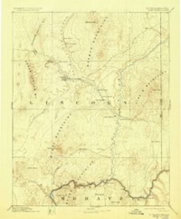
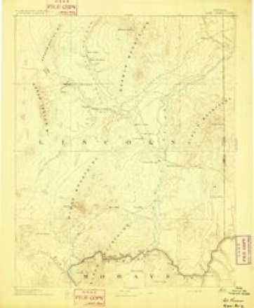
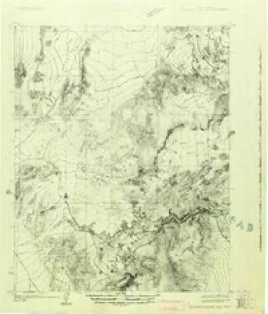
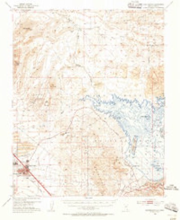
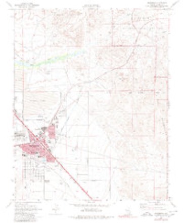
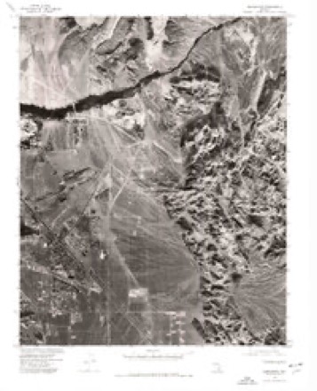
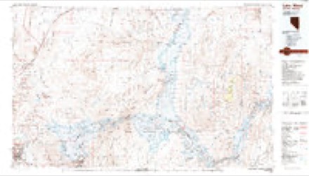
25 topographic sheets cover this place, the earliest surveyed in 1886 and the latest in 1987. It stands in the Clark census division. It lies in ZIP code area 89015. The Survey maps it on the Henderson quadrangle. 317,610 people lived here at the 2020 count. It stands 1,765 feet above sea level.
Research this city
Population over time
2 figuresHenderson grew from 257,729 to 317,610 between 2010 and 2020. These are the recorded population figures Wikidata holds for this place, reached through the Geographic Names Information System number this page is keyed on rather than by name, so they belong to this place and not to another of the same name. Most are census counts, but not all are: an early figure may be a founding or settlement estimate, and an estimate published within five years of a census is left out. The change column is computed, and is left blank where more than 20 years separate a figure from the one before it, because a gap that long is not a change between two counts.
| Year | People | Change |
|---|---|---|
| 2010 | 257,729 | |
| 2020 | 317,610 | +59,881 (+23%) |
Topographic sheets covering this place
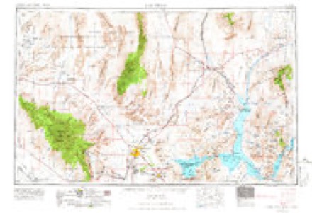
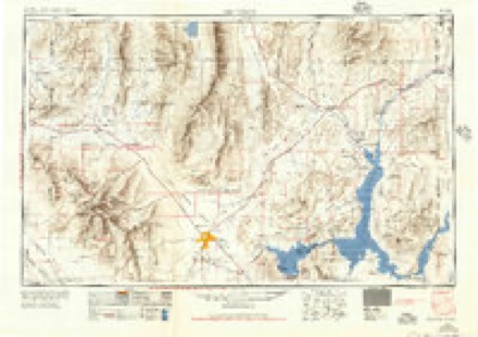
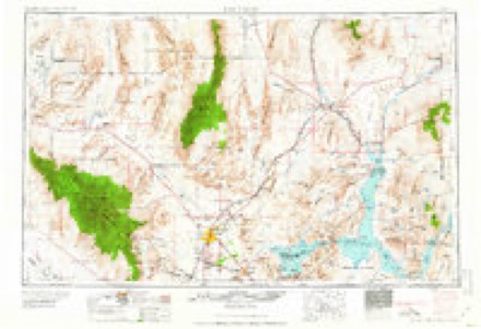
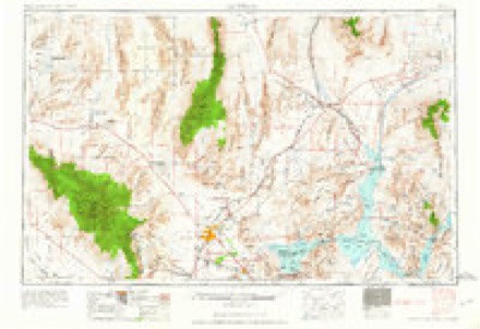
11 surveys from 25 printed sheetsMatched by testing this settlement's coordinate against the published boundary of every sheet in the United States Geological Survey's historical collection. Each opens the scanned sheet at the Survey.
- 1886 USGS Saint Thomas quadrangle1:250000, 6 printings
- 1893 USGS Saint Thomas quadrangle1:250000
- 1926 USGS Boulder Canyon quadrangle1:96000, 2 printings
- 1952 USGS Henderson quadrangle1:62500, 2 printings
- 1954 USGS Las Vegas quadrangle1:250000, 5 printings
- 1957 USGS Las Vegas quadrangle1:250000
- 1959 USGS Las Vegas quadrangle1:250000
- 1962 USGS Las Vegas quadrangle1:250000
- 1970 USGS Henderson quadrangle1:24000, 4 printings
- 1973 USGS Henderson quadrangle1:24000
- 1987 USGS Lake Mead quadrangle1:100000
Fires near this place
86 since 1993Regional context, not property-specific evidence. The federal wildfire occurrence database lists 86 fires within 5 miles of Henderson between 1993 and 2020, burning about 1,228 acres in total. 3 started naturally. 3 were recorded as arson. Distance is straight-line from the map coordinates, so a fire counted here may appear on a neighbouring settlement's page as well.
| Reported cause | Fires |
|---|---|
| Missing data/not specified/undetermined | 54 |
| Recreation and ceremony | 13 |
| Debris and open burning | 8 |
| Fireworks | 4 |
| Arson/incendiarism | 3 |
| Natural | 3 |
| Equipment and vehicle use | 1 |
The most recent of them, most recent first, with the day each was reported and the service that recorded it.
| Date | Cause | Size | Reported by | Name on the report |
|---|---|---|---|---|
| 5 September 1999 | Recreation and ceremony | under an acre | Southern Nevada District Office | BON FIRE |
| 3 September 1993 | Missing data/not specified/undetermined | 40 acres | Southern Nevada District Office | SWAMP |
| 17 September 2017 | Missing data/not specified/undetermined | 1.0 acres | Southern Nevada District Office | HENDERSON ASSIST 2 |
| 16 September 2017 | Arson/incendiarism | under an acre | Southern Nevada District Office | BOR 1 |
| 8 August 2010 | Natural | under an acre | Southern Nevada District Office | NAT OUT 2 |
| 6 August 2006 | Missing data/not specified/undetermined | under an acre | Southern Nevada District Office | PIT |
| 27 August 2020 | Missing data/not specified/undetermined | 1.5 acres | Clark County Fire Department | CCFD 11 - SAM BOYD |
| 2 August 2008 | Missing data/not specified/undetermined | under an acre | Southern Nevada District Office | CCFD 4 |
Settlements close enough to share some of these fires:
Mines and quarries near this place
10 of 13 shownRegional context, not property-specific evidence. The federal mineral resources record lists 13 workings within 5 miles of Henderson: 5 producers, 4 past producers, 2 plants, 1 occurrence. 7 still produce. What was taken out: Sand and Gravel, Construction, Pumice, Barium-Barite, Gold. Distance is straight-line from the map coordinates, so a quarry counted here may appear on a neighbouring settlement's page as well.
| Where | Site | Commodity | Status | Recorded |
|---|---|---|---|---|
| Basic Magnesium Inc. Plant | Magnesite, Titanium, Metal, Silver | Plant | ||
| Dolomite Plant | Dolomite | Producer | ||
| Kerry Milling | Gold, Silver | Past Producer | 1981 | |
| Klinger Prospect | Barium-Barite | Occurrence | ||
| Pittman Salt Deposits | Salt | Prospect | ||
| Pumice Claims | Pumice | Producer | ||
| Timet Plant Ti | Titanium, Metal | Plant | ||
| Bonanza Pit and Plant | Sand and Gravel, Construction | Producer | ||
| Eldorado Pit & Mill | Sand and Gravel, Construction | Past Producer | ||
| Gravel Pit | Sand and Gravel, Construction | Past Producer |
Storms near this place
49 since 1996Regional context, not property-specific evidence. The National Weather Service names Henderson in 49 storm reports between 1996 and 2025: 15 thunderstorm wind, 13 hail, 12 flash flood, 5 lightning. The reports record 2 deaths and 5 injuries. Each account below is quoted exactly as the forecast office filed it, from the NOAA Storm Events Database, and each date opens the federal record of that event.
| When | Event | Place named | Harm | What the report says |
|---|---|---|---|---|
| August 1997 | Flash Flood | Henderson | 1 killed, 4 hurt, $4,000,000 | In addition to strong winds and large hail, redeveloping severe thunderstorms produced heavy downpours which resulted in severe flash flooding in the southeast Las Vegas Valley. In Henderson, raging flood waters turned roads into rivers up to three and four feet deep. Water and mud slides closed many roads, including U.S. Highway 95, for several hours. One man was drowned when a strong current swept him under his vehicle as he tried to move it off his neighborhood street. Rescue workers performed a number of swift water rescues until as late as 8:30 pm PST. Four people were hospitilized. Flooding also resulted in the release of titanium dioxide gas (non-toxic) at the TIMET plant. Extensive damage to roads and buildings prompted the Governor to declare Henderson a disaster area. |
| May 2025 | Flash Flood | Henderson | 1 killed, $10,000 | There were multiple swift water rescues of people stuck in cars. One man was swept down a wash and drowned. |
| July 1998 | Flash Flood | Henderson | 1 hurt, $10,000 | no account filed |
| July 1998 | Lightning | Henderson | $1,500,000 | no account filed |
| June 2005 | Lightning | Henderson | $500,000 | Lightning strike started a fire which burned several condominiums. |
| September 2007 | Lightning | Henderson | $200,000 | Lightning set fire to an office complex at Eastern Ave. and Horizon Ridge Pkwy. |
| July 1996 | Thunderstorm Wind | Henderson | $75,000 | no account filed |
| July 2013 | Flash Flood | Henderson | $40,000 | Two feet of water flowed down Greenway Road near Mission. Two houses were flooded. |
| September 1998 | Tornado (F0) | Henderson | $30,000 | no account filed |
| August 1997 | Thunderstorm Wind | Henderson | $15,000 | Damaging thunderstorm winds downed a 40 foot tree and snapped several power poles leaving up to 9,000 people in Henderson without electrical power for several hours. |
| July 1998 | Lightning | Henderson | $15,000 | no account filed |
| July 1996 | Thunderstorm Wind | Henderson | $15,000 | no account filed |
| July 2001 | Flash Flood | Henderson | $10,000 | Heavy rain from strong thunderstorms closed many roads throughout Henderson. 1.22 inches of rain was recorded in an hour and several motorists were stranded after their car engines stalled. |
| September 1998 | Flash Flood | Henderson | $10,000 | no account filed |
| February 1998 | Flood | Henderson | $10,000 | no account filed |
| May 2016 | Dust Devil | Henderson | $5,000 | A dust devil in Henderson peeled roofing off of a home and damaged two fences. The event time is estimated. |
| July 1997 | Thunderstorm Wind | Henderson | $5,000 | no account filed |
| August 1997 | Flash Flood | Henderson | $5,000 | no account filed |
| October 2006 | Lightning | Henderson | $2,000 | Lightning struck a house, setting the roof on fire. |
| September 1998 | Thunderstorm Wind | Henderson | $2,000 | no account filed |
| June 2016 | Thunderstorm Wind | Henderson | $1,000 | Thunderstorm winds destroyed an outdoor gazebo. |
| August 1997 | Thunderstorm Wind | Henderson | $1,000 | A skywarn spotter reported large broken tree branches from thunderstorm winds estimated at 60 mph. |
| August 2010 | Hail | Henderson | - | Dime to nickel size hail fell for a few minutes. |
| August 2007 | Heavy Rain | Henderson | - | Three motorists were rescued after urban flooding covered both Warm Springs Rd. and Boulder Highway. |
| August 2006 | Thunderstorm Wind | Henderson | - | Numerous trees were blown over near the intersection of Interstate 215 and Stephanie St. Minor flooding also occurred. |
| August 2005 | Flash Flood | Henderson | - | Part of a road washed out. One swift water rescue. |
| July 2005 | Flash Flood | Henderson | - | One foot of water in apartments in the Green Valley area. |
| July 2005 | Flash Flood | Henderson | - | Water two feet deep in the intersection of Sunset and Annie Oakley. Two people rescued from a car stuck in the water. |
| September 2004 | Hail | Henderson | - | An off duty NWS meteorologist recorded 3 quarter inch hail in Henderson. |
| July 2002 | Thunderstorm Wind | Henderson | - | Winds of 69 mph were measured at the Henderson Executive Airport. |
| September 1999 | Hail | Henderson | - | Nickel sized hail was briefly observed by a weather spotter in the Green Valley area of Henderson. |
| August 1998 | Thunderstorm Wind | Henderson | - | A thunderstorm developing over the McCullough Range, just south of Green Valley, turned severe as it rolled into Henderson. The Henderson police department reported wind gusts up to 60 mph. Brief heavy rain produced pooling water up to 6 inches deep in some intersections and at the underpass of Lake Mead Drive and Interstate 515. About 3,000 homes and businesses also lost electricity for an hour or two. |
| September 1998 | Thunderstorm Wind | Henderson | - | Wind measuring equipment at the Henderson Executive Airport recorded wind gusts of at least 80 mph. Air traffic control personnel temporarily evacuated the airport tower, but no damage was reported. |
| August 1997 | Hail | Henderson | - | An off-duty NWS meteorologist reported dime-sized hail. |
| August 1997 | Thunderstorm Wind | Henderson | - | A Skywarn spotter reported winds estimated at 80 mph. |
| August 1997 | Hail | Henderson | - | A skywarn spotter reported dime-sized hail in Henderson. |
| July 2023 | Thunderstorm Wind | Henderson | - | no account filed |
| August 2016 | Hail | Henderson | - | no account filed |
| May 2015 | Hail | Henderson | - | no account filed |
| July 2014 | Thunderstorm Wind | Henderson | - | no account filed |
| July 2013 | Hail | Henderson | - | no account filed |
| August 2005 | Hail | Henderson | - | no account filed |
| August 2005 | Hail | Henderson | - | no account filed |
| August 2005 | Hail | Henderson | - | no account filed |
| July 1998 | Flash Flood | Henderson | - | no account filed |
| August 1997 | Hail | Henderson | - | no account filed |
| August 1997 | Hail | Henderson | - | no account filed |
| July 1996 | Flash Flood | Henderson | - | no account filed |
| August 1996 | Thunderstorm Wind | Henderson | - | no account filed |
Nearest settlements
The eight closest, with where each one stands in the county. Distances are straight-line, computed from the Geographic Names Information System coordinates.
| Map | Place | Distance | Sheets |
|---|---|---|---|
| Victory Village | 0.4 miles | 25 | |
| Carver Park | 0.5 miles | 25 | |
| East Las Vegas | 4.9 miles | 24 | |
| Lake Las Vegas | 5.2 miles | 25 | |
| Texas Acres | 5.8 miles | 32 | |
| Whitney | 5.8 miles | 24 | |
| Hillegas (historical) | 8.1 miles | 25 | |
| Winterwood (historical) | 8.3 miles | 25 |
Elsewhere
Matched on this settlement's Geographic Names Information System number rather than its name, so it cannot be a different place of the same name in another state.
| Wikipedia article on Henderson | An encyclopaedic summary. Its text is share-alike, so it is linked here rather than copied. |
| Wikidata item Q49267 | The structured record the population and elevation above come from. Public domain (CC0). |
Provenance
This settlement is recorded in the Geographic Names Information System as feature 856267. The sheet list is computed by point-in-boundary test against the United States Geological Survey's historical topographic inventory. Both are works of the United States government and carry no copyright under 17 U.S.C. 105.
Wildfire. Short, Karen C. 2022. Spatial wildfire occurrence data for the United States, 1992-2020 [FPA_FOD_20221014]. 6th Edition. Fort Collins, CO: Forest Service Research Data Archive. https://doi.org/10.2737/RDS-2013-0009.6 Collected with United States Government funding and usable without additional permissions or fees.
Mines and quarries. USGS Mineral Resources Data System (MRDS) https://mrdata.usgs.gov/mrds/ A work of the United States government, no copyright under 17 U.S.C. 105.
Storms. NOAA National Centers for Environmental Information, Storm Events Database https://www.ncei.noaa.gov/stormevents/ A work of the United States government, no copyright under 17 U.S.C. 105. Narratives are quoted verbatim from the National Weather Service report and are not edited or summarised.