Block
BlockFrom the record
24 National Register listings published here, 4 of them National Historic Landmarks.
Sources: the National Register database, National Park Service
245 topographic sheets cover 39 settlements here, and 24 properties are on the National Register of Historic Places.
24 National Register listings published here, 4 of them National Historic Landmarks.
Sources: the National Register database, National Park Service
Every property in this county listed on the National Register of Historic Places, with the year it was listed and the federal nomination document.
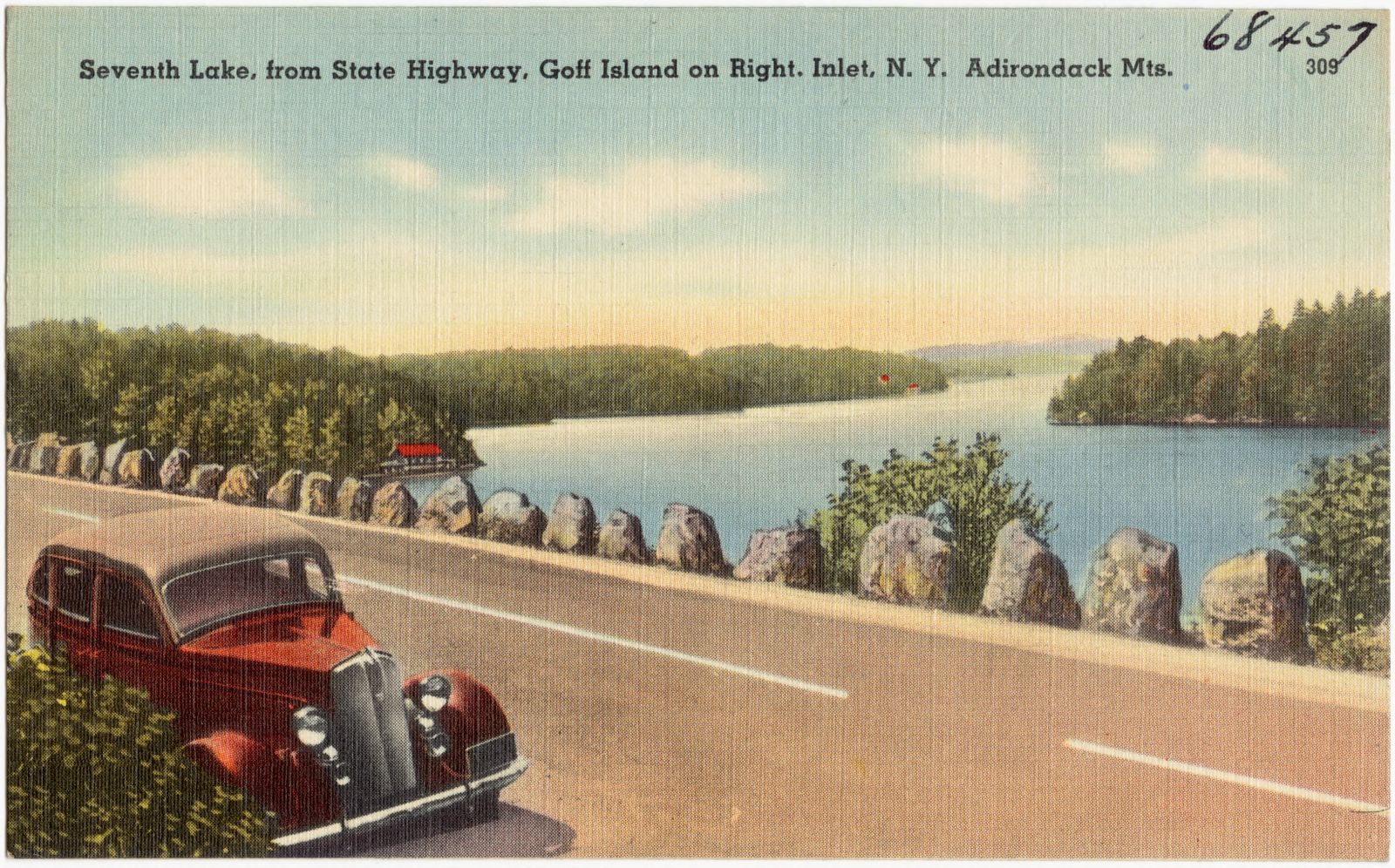
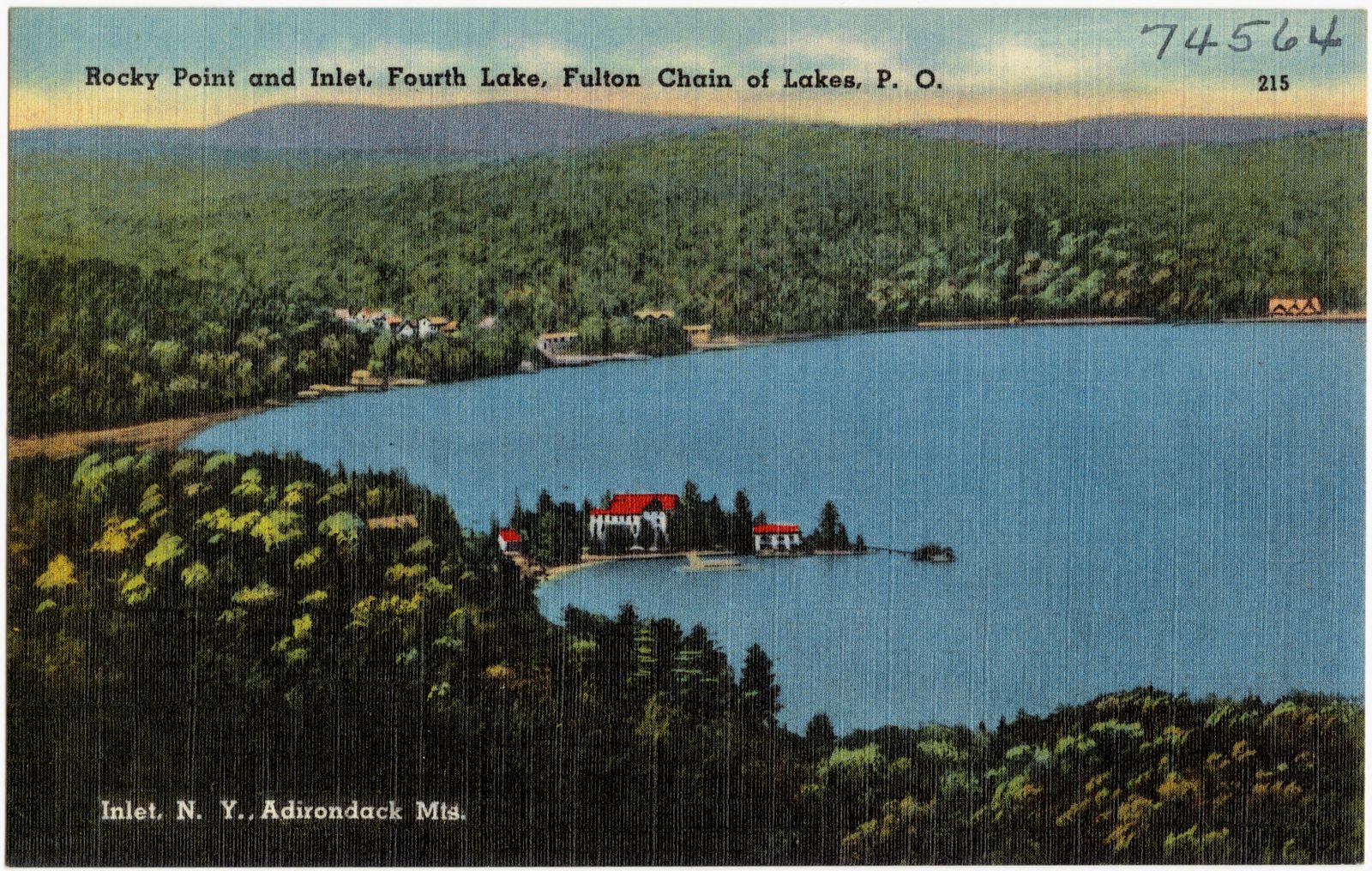
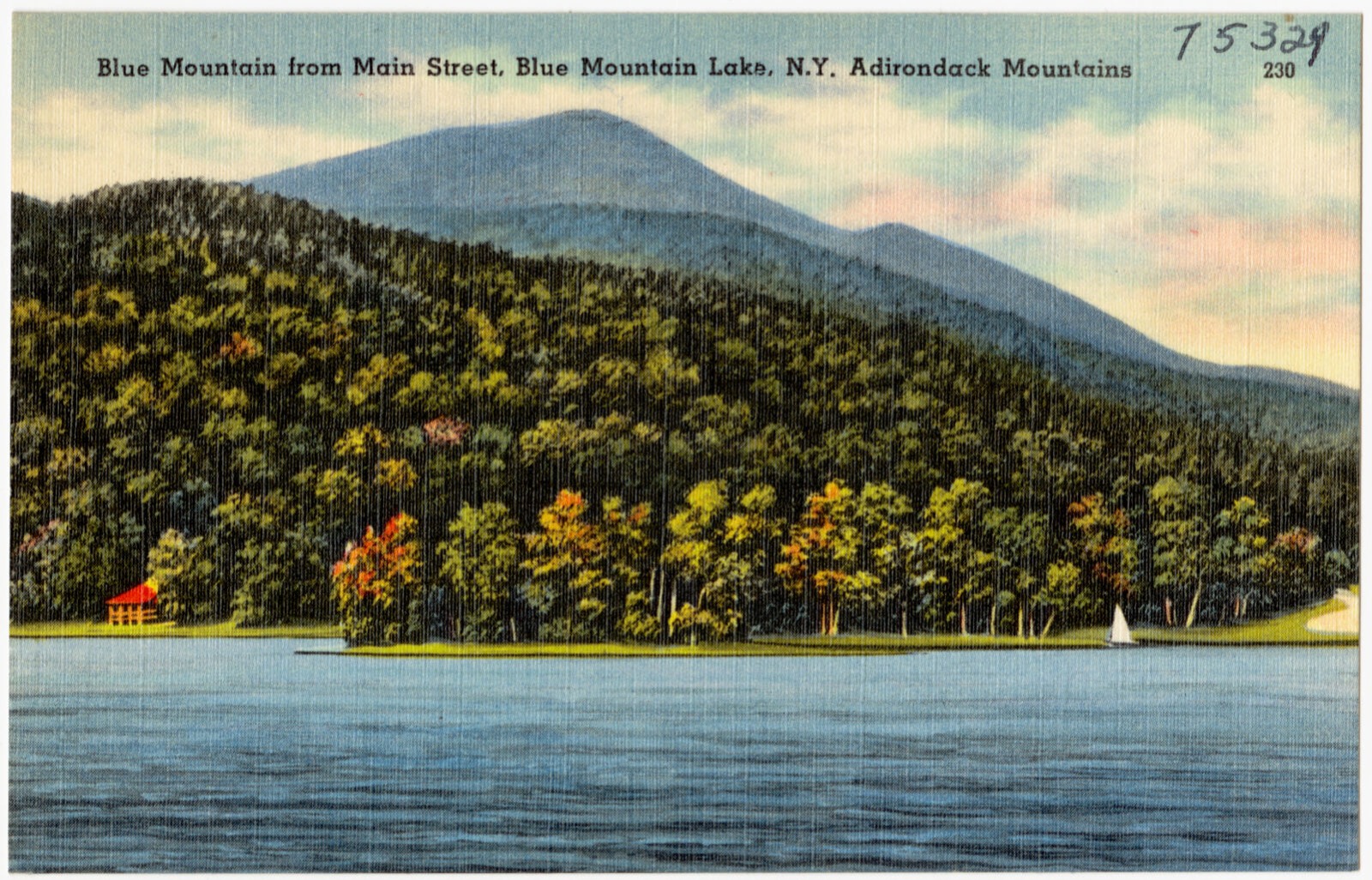
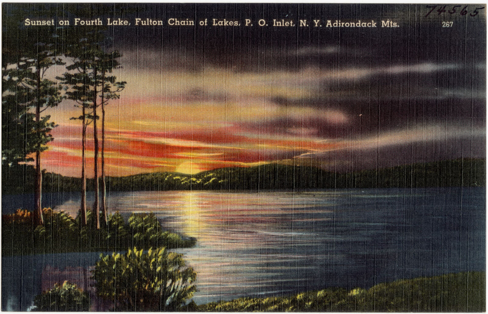
Selected from the Digital Public Library of America's 14 image records catalogued for this county. Every one shown here carries a public-domain status or a licence that permits reuse on a site that carries advertising; non-commercial, share-alike and restricted images are excluded. The selection is spread across the county's towns (at most eight per town), so no single institution's bulk upload crowds out the rest. Each opens the holding library's record, and the complete set at the Digital Public Library of America is one click away.
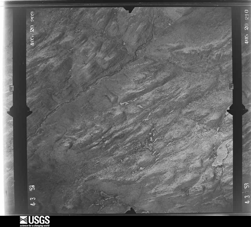
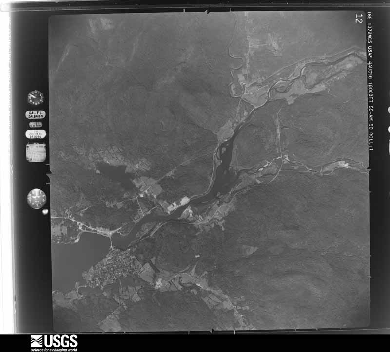
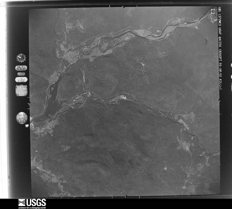
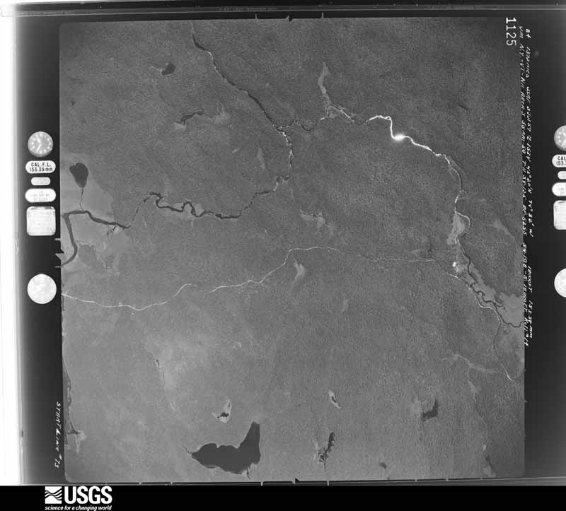
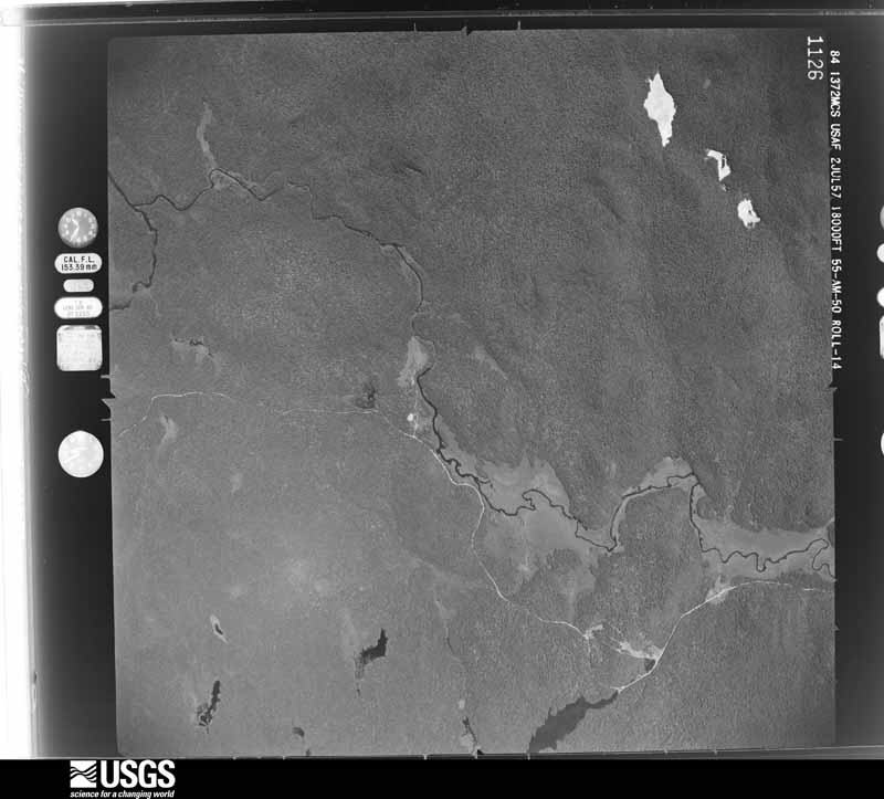
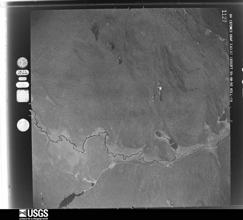
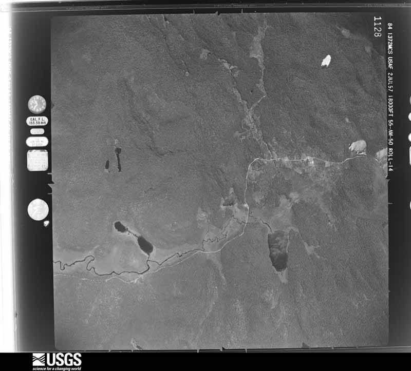
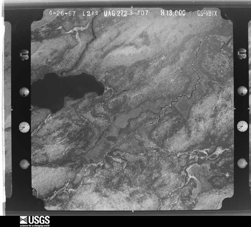
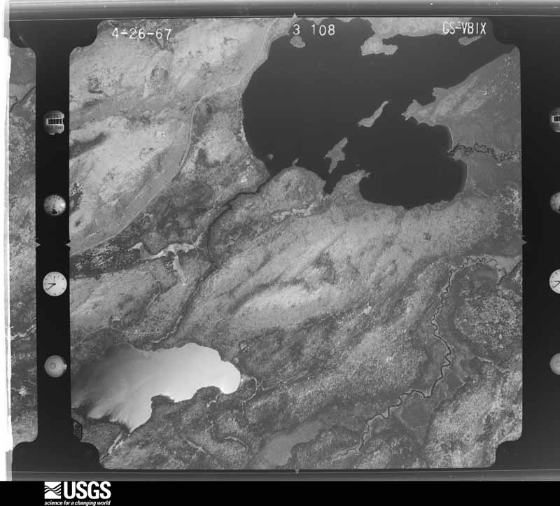
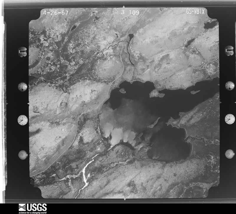
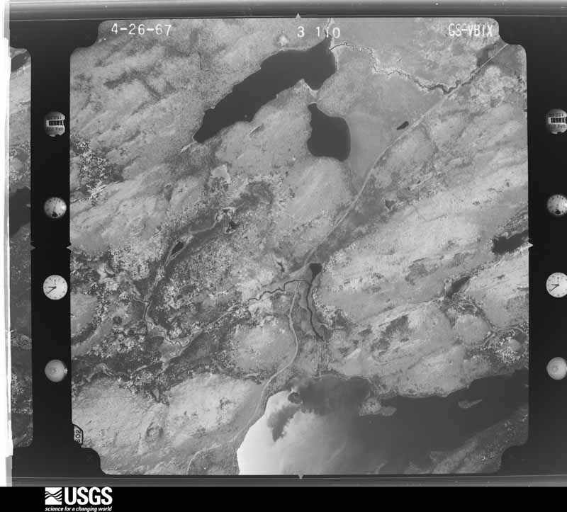
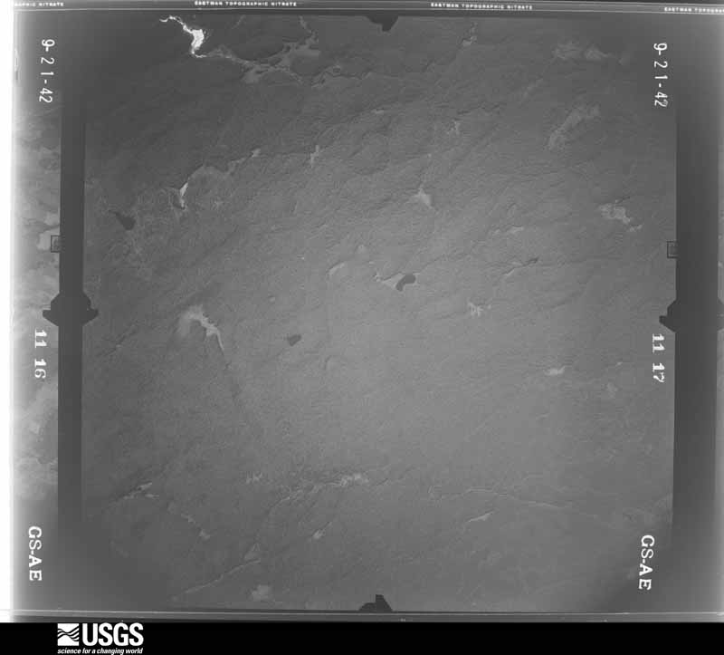
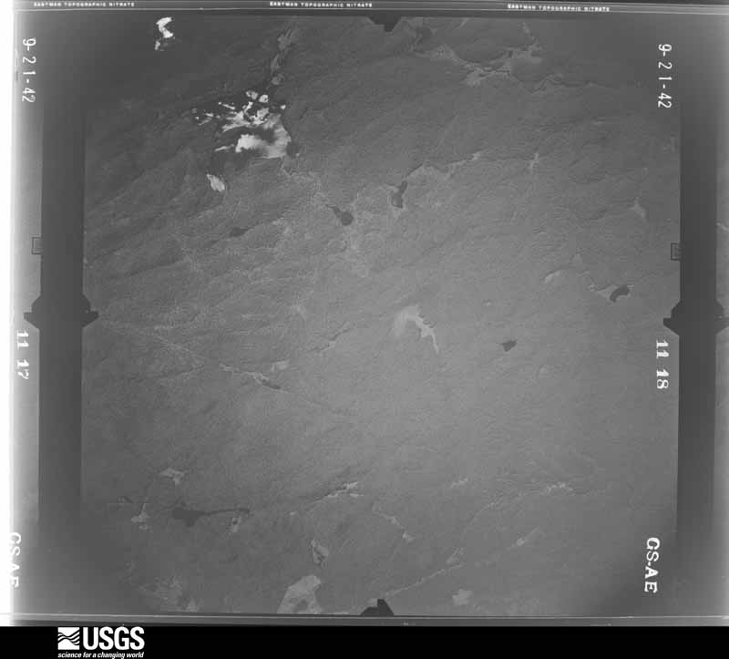
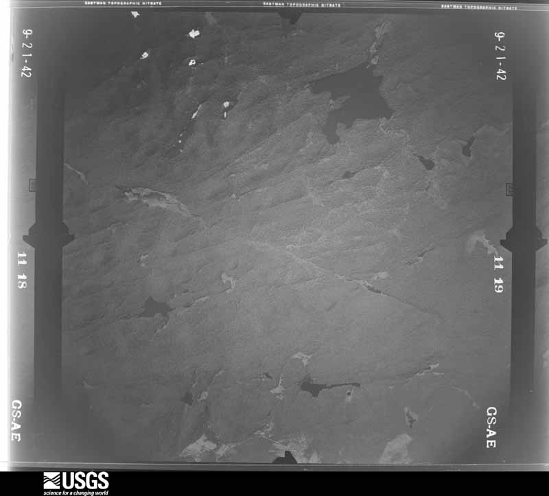
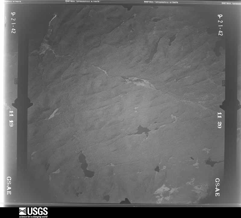
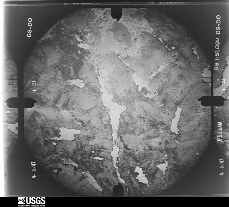
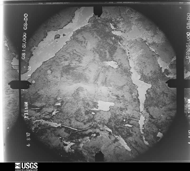
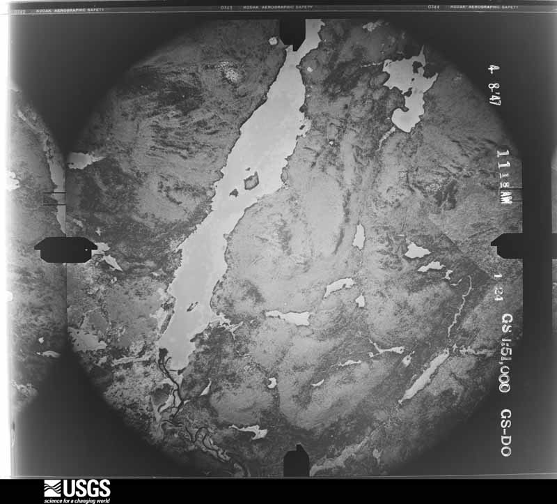
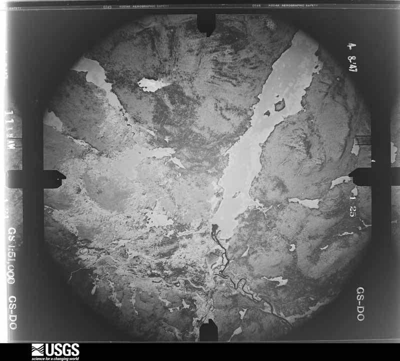
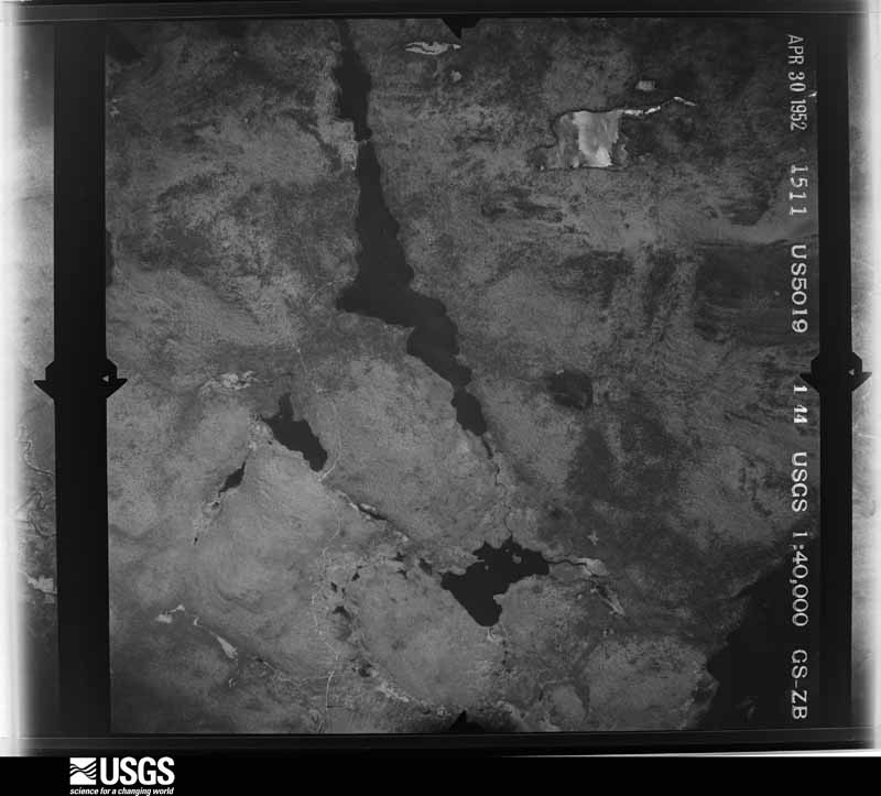
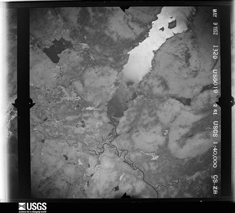
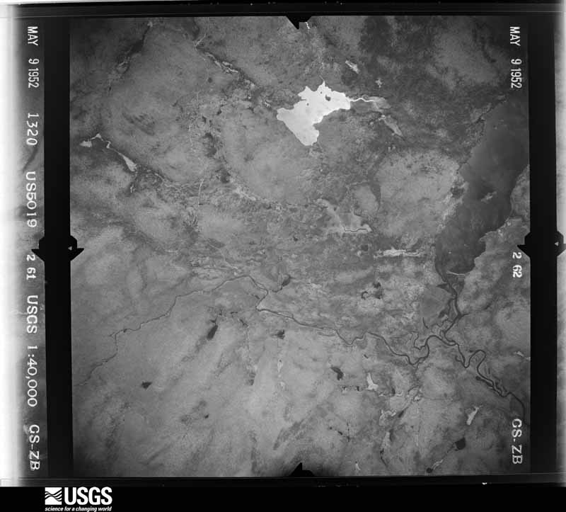
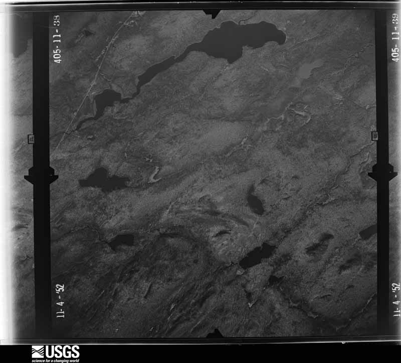
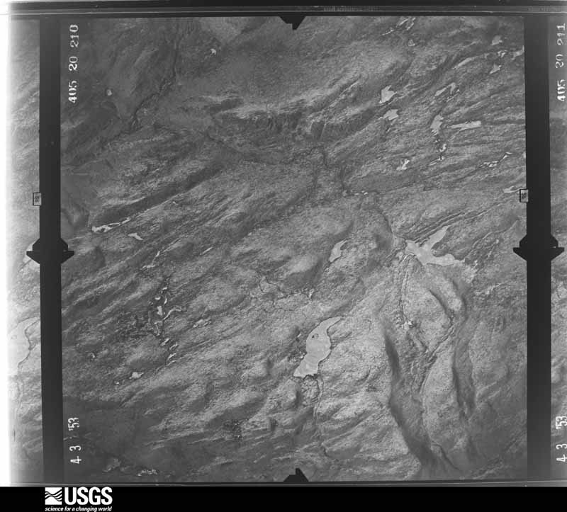
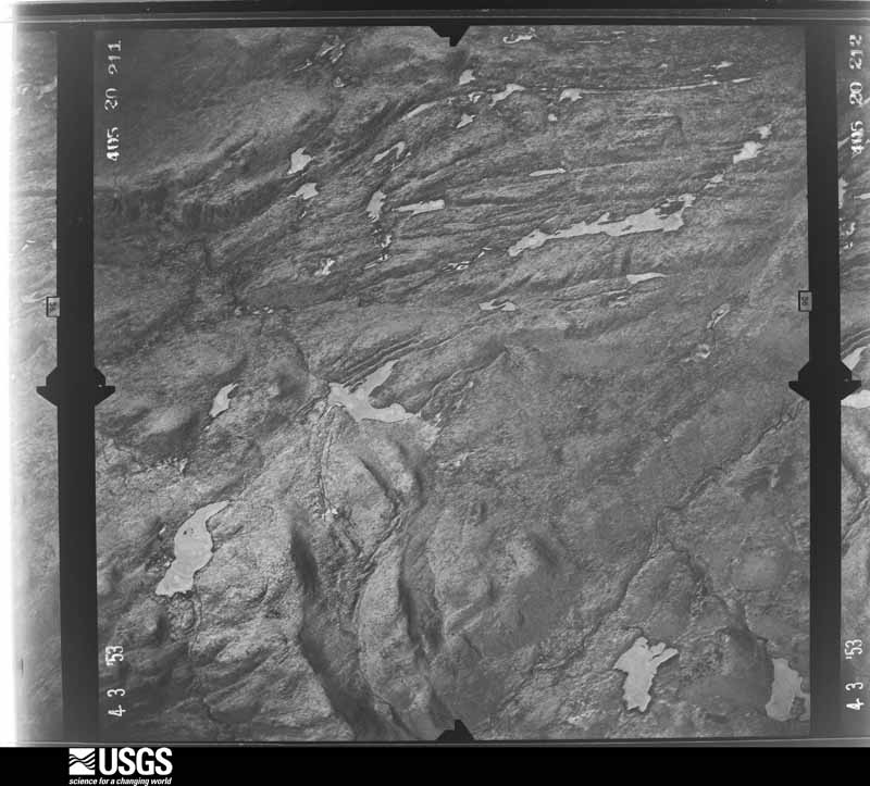
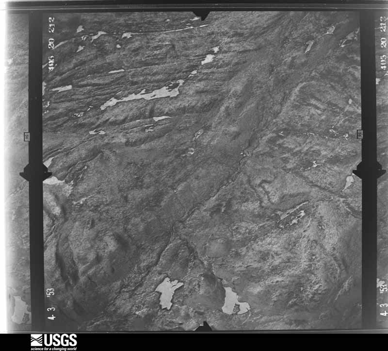
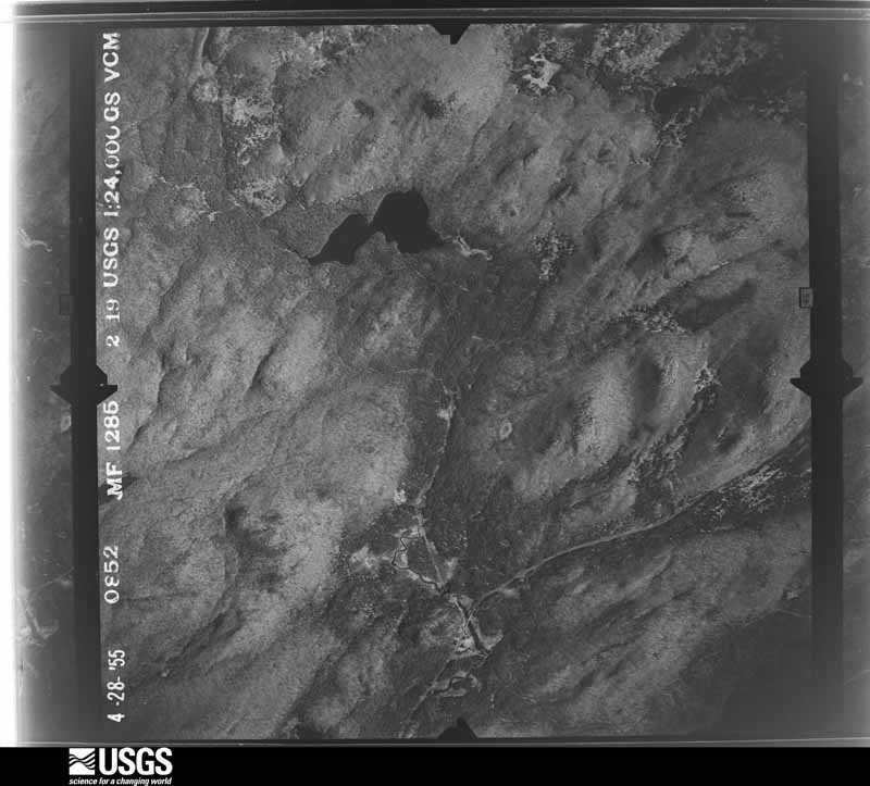
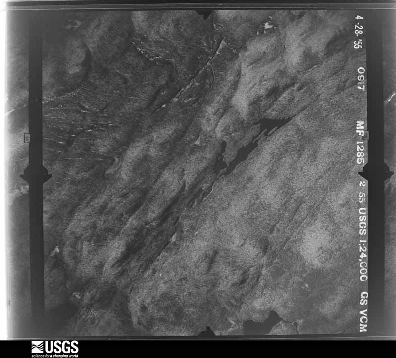
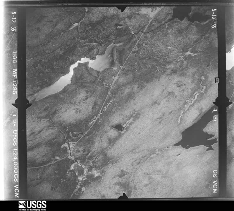
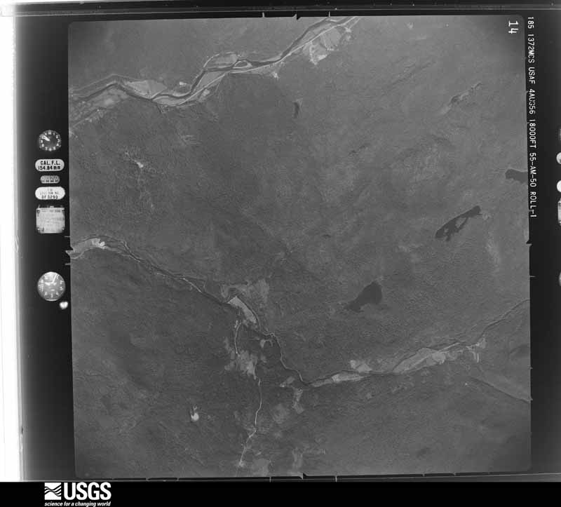
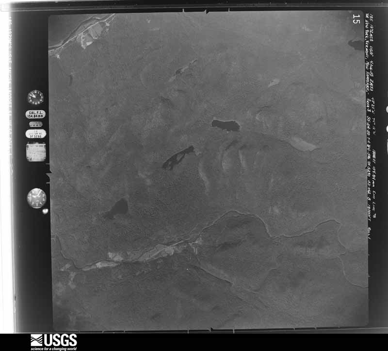
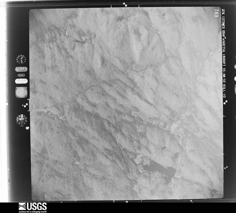
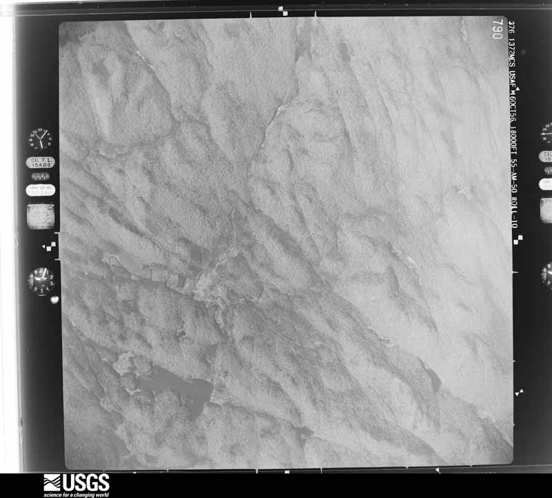
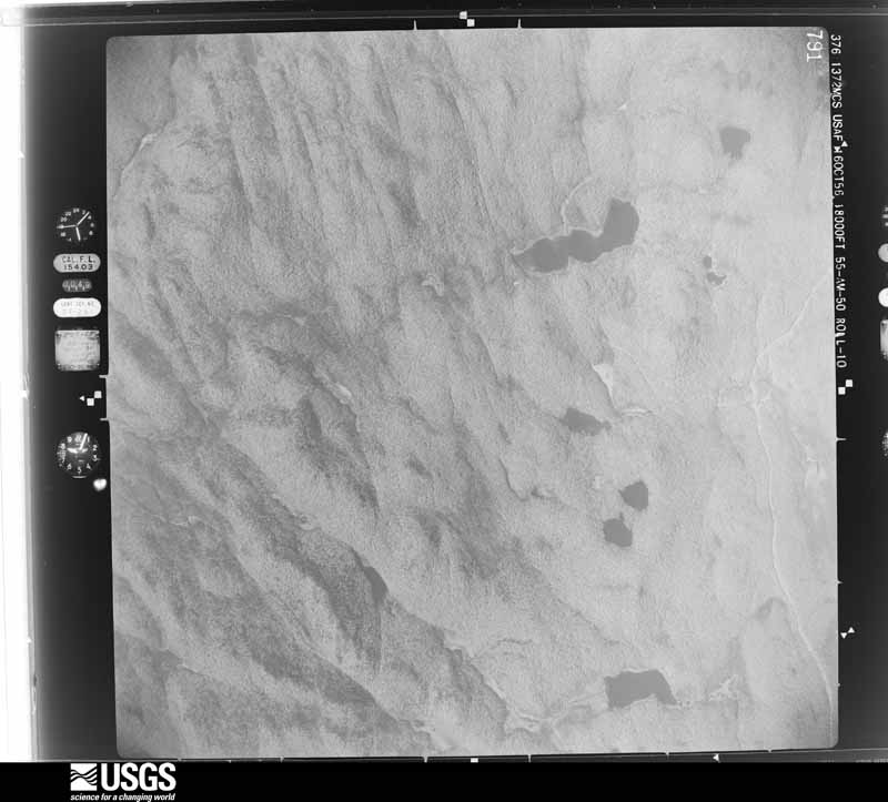
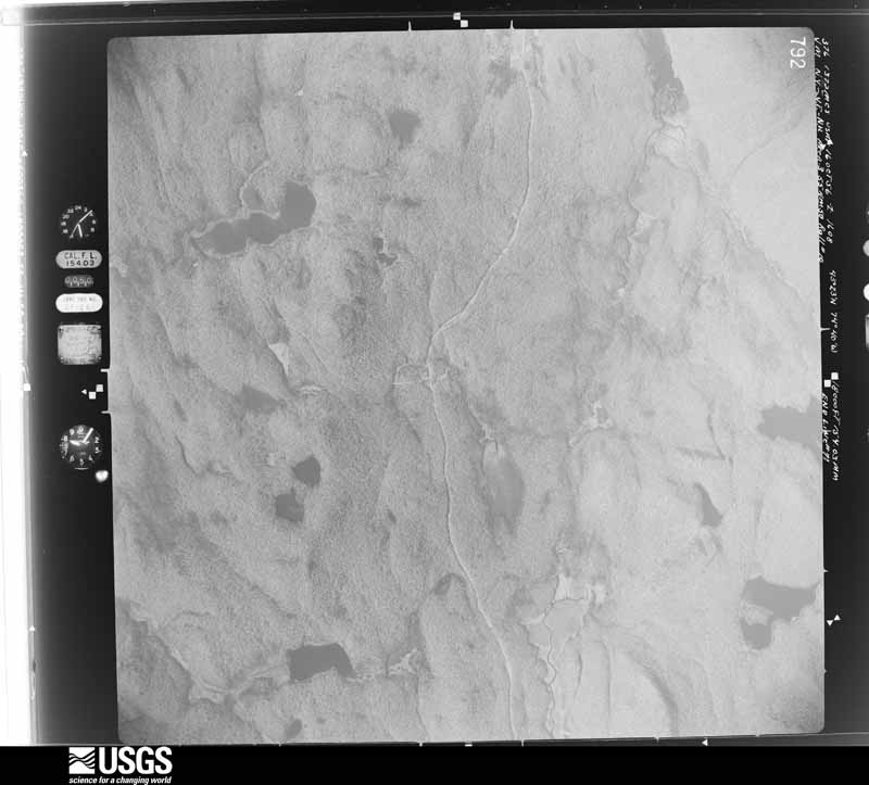
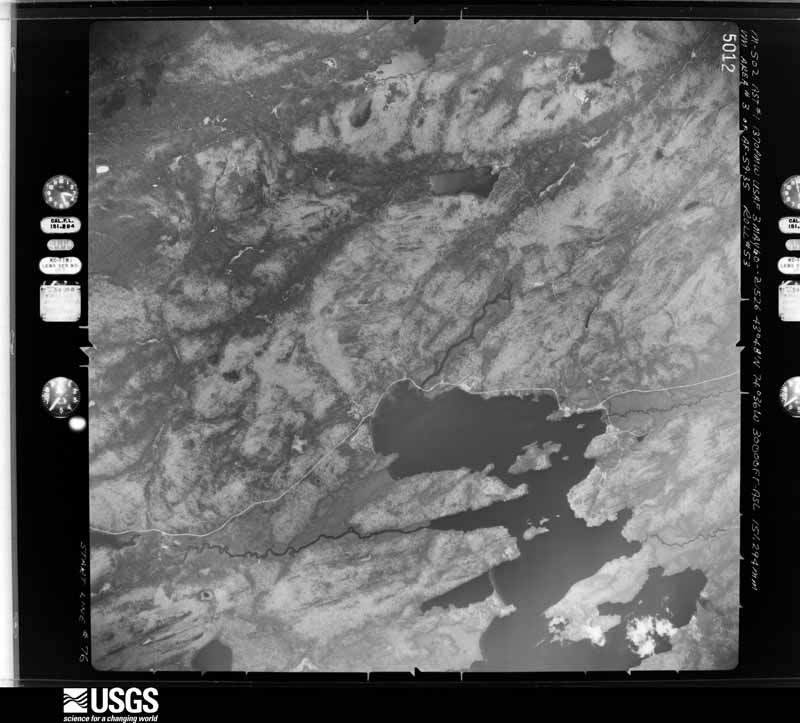
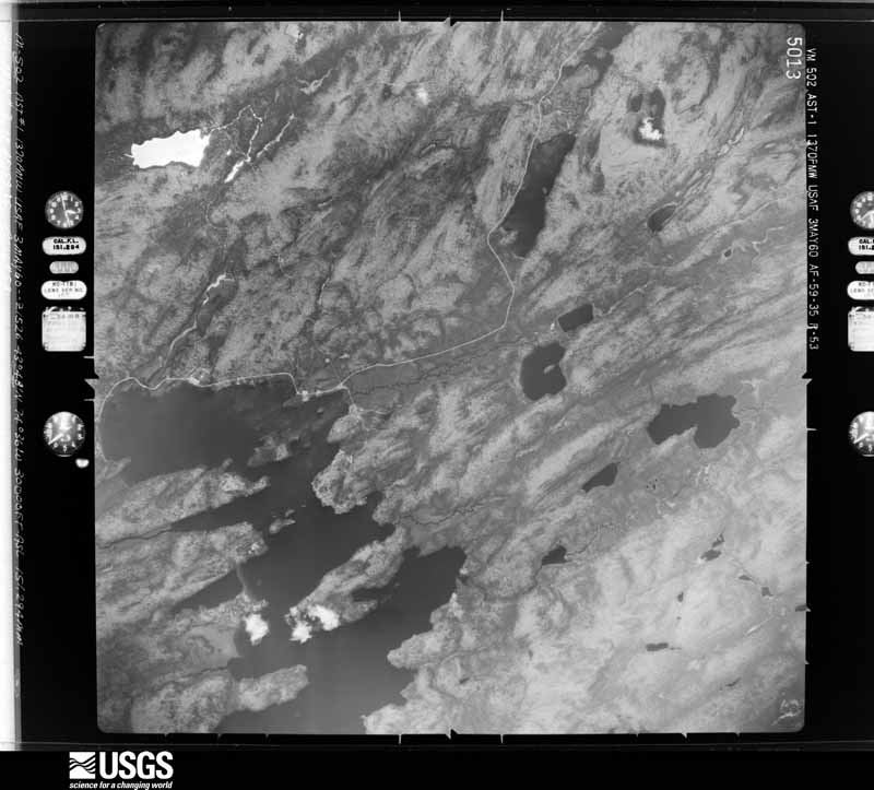
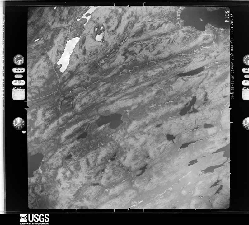
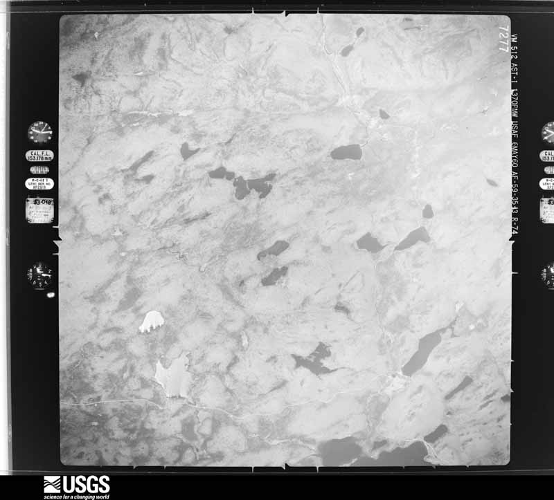
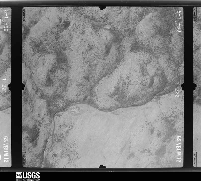
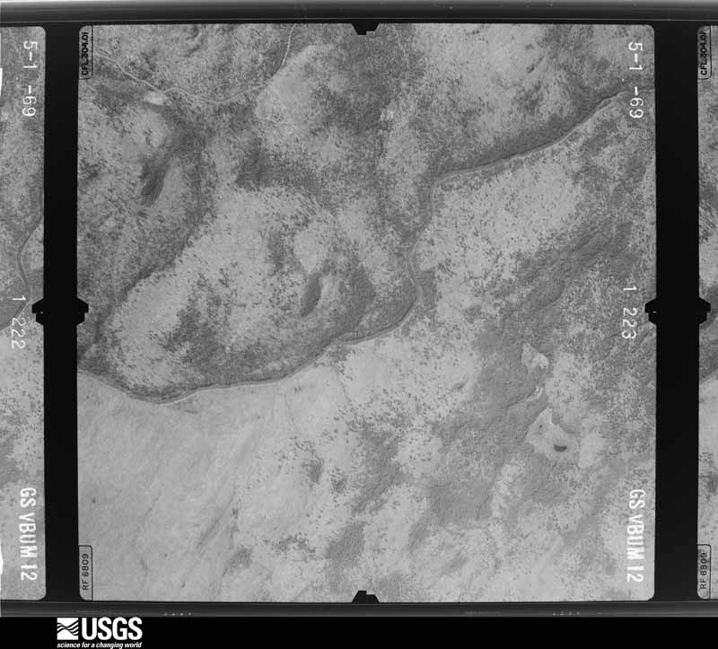
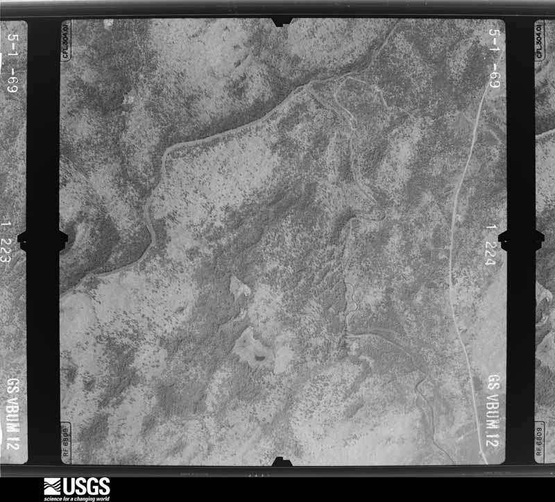
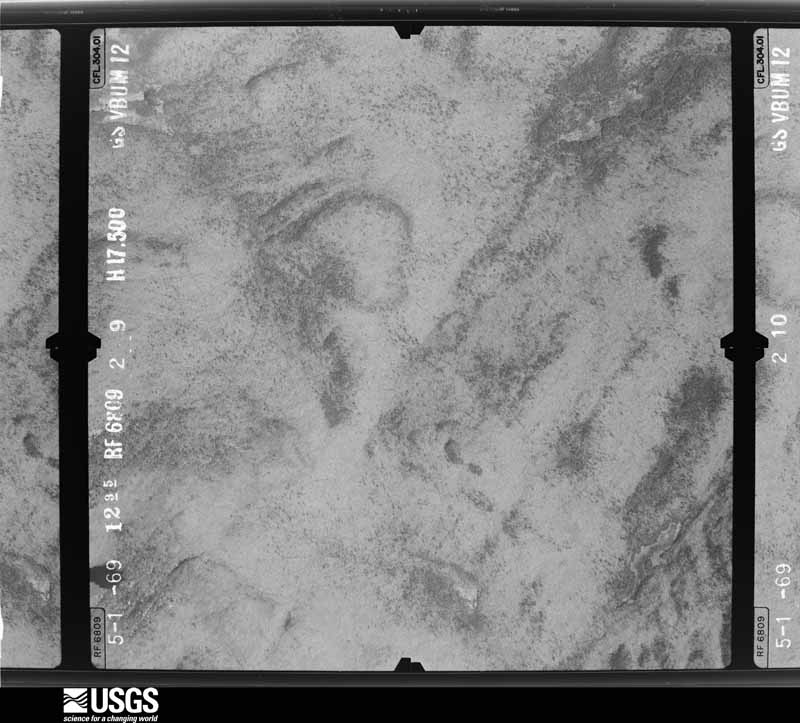
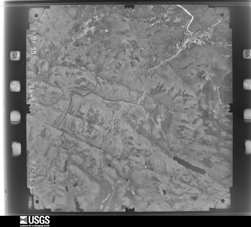
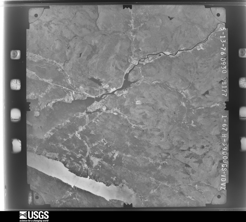
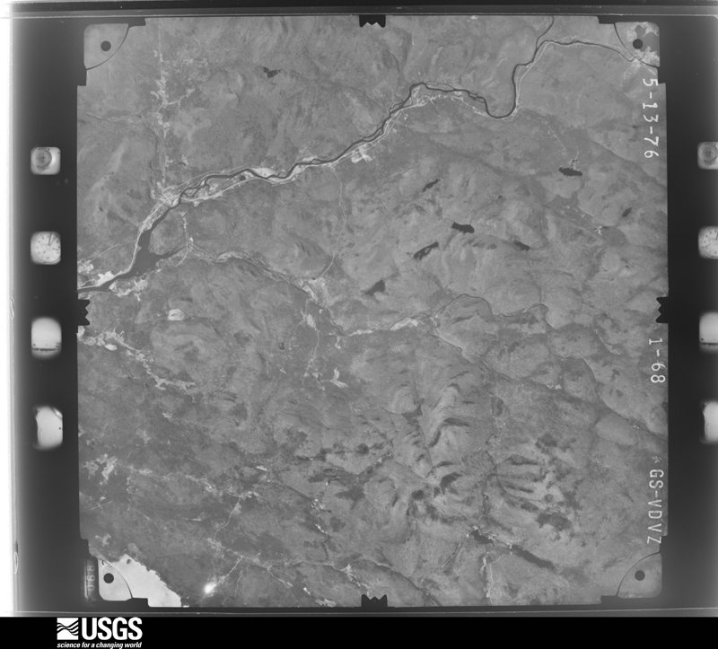
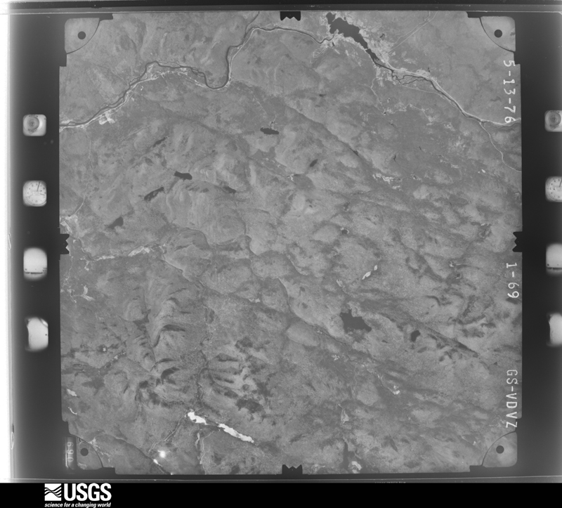
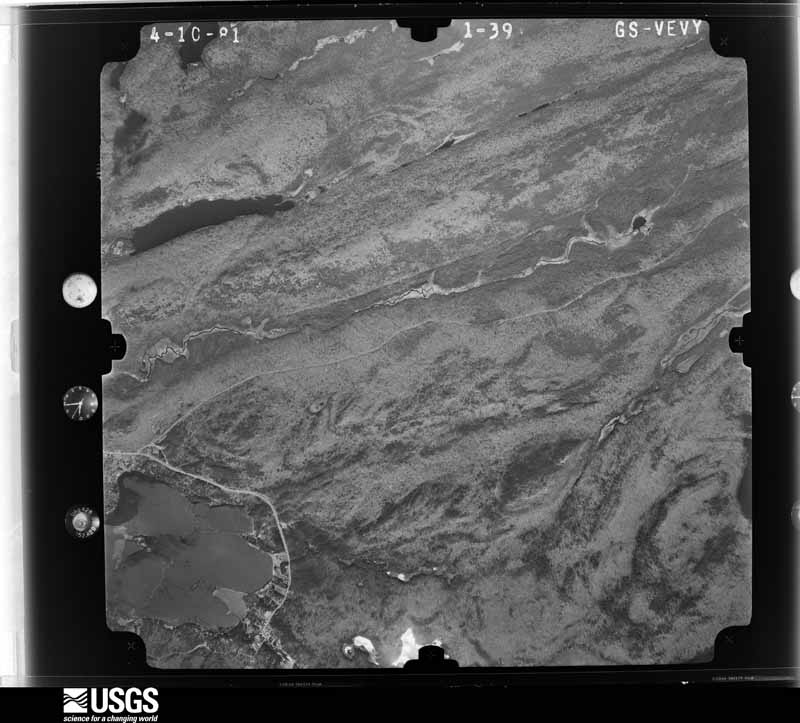
Flown by the U.S. Geological Survey between 1937 and 1989, the Aerial Photo Single Frames collection is the definitive mid-century view of the land: fields, roads and rivers as the camera saw them. The Survey holds 2,896 frames inside the rectangle that bounds this county; the 48 frames below were taken over the county itself, chosen across the decades of flights (at most four a year from that rectangle), so one flight cannot crowd out the rest. The full set is free to browse and download at EarthExplorer under the dataset Aerial Photo Single Frames.
The thermometers that kept this county's weather, and the gages that measured the flow of its streams, as the federal records hold them. The extremes below are measured values from those records, not estimates.
Who lived here in 1950, one enumeration district at a time, as the Census Bureau described each district. Each row opens its official National Archives result, with Population Schedules and ED Maps available there.
Every wildfire the federal occurrence database records inside this county: 429 of them, burning about 1,003 acres. 75 started naturally and 14 were recorded as arson. Each settlement page carries the fires within five miles of it.
| Reported cause | Fires |
|---|---|
| Recreation and ceremony | 174 |
| Missing data/not specified/undetermined | 80 |
| Natural | 75 |
| Debris and open burning | 28 |
| Equipment and vehicle use | 23 |
| Smoking | 19 |
| Arson/incendiarism | 14 |
| Power generation/transmission/distribution | 9 |
| Misuse of fire by a minor | 3 |
| Fireworks | 2 |
| Other causes | 2 |
The five largest, by the area the report gives. Two of them were set deliberately.
| Date | Cause | Size | Reported by | Name on the report |
|---|---|---|---|---|
| 25 October 1998 | Smoking | 310 acres | New York Forest Rangers | not named |
| 30 October 2001 | Arson/incendiarism | 266 acres | New York Forest Rangers | not named |
| 8 May 1992 | Natural | 30 acres | New York Forest Rangers | not named |
| 4 November 2000 | Arson/incendiarism | 21 acres | New York Forest Rangers | not named |
| 14 May 2007 | Natural | 11 acres | New York Forest Rangers | SPRUCE HILL |
| 9 May 2015 | Recreation and ceremony | 9.8 acres | New York Forest Rangers | EAST STONY FIRE |
| 18 October 2020 | Recreation and ceremony | 9.6 acres | New York Forest Rangers | MOUNT DUNHAM FIRE |
| 12 June 2008 | Natural | 9.5 acres | New York Forest Rangers | RAND MOUNTAIN |
Every settlement page carries the fires within five miles of it - see the settlement index below.
The NOAA Storm Events Database holds 189 reports for this county, causing 2 deaths, 5 injuries and about $80,670,500 in recorded property damage. Each settlement page carries the reports that name it.
| Kind of event | Reports |
|---|---|
| Thunderstorm Wind | 124 |
| Hail | 25 |
| Flood | 23 |
| Flash Flood | 10 |
| Tornado | 7 |
The most serious of them, by death, then injury, then recorded damage. The accounts are quoted exactly as the forecast office filed them.
| When | Event | Place named | Harm | What the report says |
|---|---|---|---|---|
| July 1995 | Thunderstorm Wind | Lake Lila | 1 killed, 1 hurt, $100,000 | no account filed |
| July 1995 | Thunderstorm Wind | Eighth Lake | 1 killed, 1 hurt, $100,000 | no account filed |
| July 1979 | Tornado (F0) | not stated | 1 hurt, $250,000 | no account filed |
| July 1995 | Thunderstorm Wind | North Lake | 1 hurt, $100,000 | no account filed |
| July 1995 | Thunderstorm Wind | Forked Lake | 1 hurt, $100,000 | no account filed |
| July 1995 | Thunderstorm Wind | Countywide | $75,000,000 | no account filed |
| July 2023 | Flood | Sabattis | $2,500,000 | The combination of heavy rainfall and beaver dam failures resulted in the destruction of roads, bridges and sidewalks in the areas of Long Lake and Blue Mountain Lake. This included Route 28N between Blue Mountain Lake and the Essex County line toward Newcomb and Route 30 from Long Lake to the Franklin County line heading toward Tupper Lake. Nearby homes were also flooded. |
| November 2019 | Flood | Benson | $1,230,000 | Extensive flooding occurred along the Sacandaga River from Wells to Benson. Route 30 was impassable in several areas with water over the road. Widespread flooding occurred in Wells with water entering some residences, prompting rescues by airboat. The river reached a record crest of 12.26 feet at Hope, and was over major flood stage between 2330EST 31 October and 1515EST 1 November. |
| July 1995 | Thunderstorm Wind | Long Lake | $500,000 | no account filed |
| July 1995 | Thunderstorm Wind | Blue Mountain Lake | $250,000 | no account filed |
| January 1998 | Flash Flood | Countywide | $100,000 | From January 8 to January 10, mild weather along with significant rain and snowmelt resulted in small stream flooding across Hamilton County. There were road closures throughout the county due to ponding of water and small stream flooding. Some specific road closures and washouts included: Big Brook Road at Indian Lake, North Point Road at Long Lake, Bear Creek Road, Hope Falls Road and Cherry Beach at Lake Pleasant. |
| July 1995 | Thunderstorm Wind | Whitney Hdqrts | $100,000 | no account filed |
| July 1995 | Thunderstorm Wind | Indian Lake | $100,000 | no account filed |
| February 2022 | Flood | Hope | $50,000 | An ice jam blocking the Sacandaga River broke, causing an increase in water downstream and flooded multiple homes along River Road in the Town of Hope. Four individuals and one dog were rescued by New York State Forest Rangers. |
| August 1993 | Thunderstorm Wind | Speculator | $50,000 | Severe thunderstorm winds downed trees and power lines during the late afternoon of August 31st. One of the trees fell on a van causing extensive damage. |
| December 2023 | Flood | Hope | $10,000 | The Sacandaga River at Hope rose above flood stage early in the morning on December 18 peaking at moderate flood stage during the midday hours. The river fell below flood stage during the morning hours on December 19. Flooding was observed along NY Route 30 near Hope. |
| December 2023 | Flood | Griffin | $10,000 | Route 8 is closed in both directions at the Hamilton/Warren County line to the intersection of Route 8 and Route 30 in Wells due to flooding. |
| February 1997 | Thunderstorm Wind | Indian Lake | $8,000 | no account filed |
| July 1997 | Thunderstorm Wind | Lake Pleasant | $6,000 | no account filed |
| July 1997 | Thunderstorm Wind | Piseco | $6,000 | no account filed |
| August 1993 | Thunderstorm Wind | Indian Lake | $5,000 | Severe thunderstorm winds downed trees and power lines during the late afternoon of August 31st. One of the trees fell on a van causing extensive damage. |
| August 1993 | Thunderstorm Wind | Indian Lake | $5,000 | Severe thunderstorm winds downed a large tree and powerlines along Cedar River Road near the Wakely golf course in the Town of Indian Lake on the afternoon of July 8th. |
| May 1998 | Thunderstorm Wind | Long Lake | $5,000 | no account filed |
| January 1996 | Thunderstorm Wind | Inlet | $5,000 | no account filed |
| January 1996 | Thunderstorm Wind | Indian Lake | $5,000 | no account filed |
| December 1996 | Flash Flood | Hope | $5,000 | no account filed |
| December 1996 | Flash Flood | Hope | $5,000 | no account filed |
| July 1994 | Thunderstorm Wind | Piseco | $5,000 | no account filed |
| August 1993 | Thunderstorm Wind | Long Lake | $5,000 | no account filed |
| August 1993 | Thunderstorm Wind | Blue Mountain Lake | $5,000 | no account filed |
| August 1993 | Thunderstorm Wind | Lake Pleasant | $5,000 | no account filed |
| August 1993 | Thunderstorm Wind | Long Lake | $5,000 | no account filed |
| September 1998 | Thunderstorm Wind | Inlet | $4,000 | no account filed |
| June 1998 | Thunderstorm Wind | Raquette Lake | $4,000 | no account filed |
| June 1998 | Thunderstorm Wind | Inlet | $4,000 | no account filed |
| July 1997 | Thunderstorm Wind | Wells | $4,000 | no account filed |
| July 1997 | Thunderstorm Wind | Speculator | $4,000 | no account filed |
| August 1995 | Thunderstorm Wind | Inlet | $4,000 | no account filed |
| September 1998 | Thunderstorm Wind | Blue Mtn Lake | $3,500 | no account filed |
| May 1998 | Thunderstorm Wind | Piseco | $3,000 | no account filed |
| May 1998 | Thunderstorm Wind | Indian Lake | $2,000 | no account filed |
| September 1998 | Thunderstorm Wind | Lake Pleasant | $2,000 | no account filed |
| June 1998 | Thunderstorm Wind | Blue Mtn Lake | $2,000 | no account filed |
| September 1998 | Thunderstorm Wind | Benson | $1,500 | no account filed |
| July 1995 | Thunderstorm Wind | Arieta | $1,000 | A line of severe thunderstorms moved across central and eastern New York well ahead of a cold front over the Ohio Valley. Hardest hit by the thunderstorms was Onieda County where numerous trees and power lines were knocked down. In the Town of Western the roof of a barn was removed by thunderstorm winds. In Cortland County, a mobile home was damaged near Homer when a tree fell on it; and a man was struck by lightning in McGraw when he found shelter from the storms under a tree. |
| May 2003 | Thunderstorm Wind | Inlet | $1,000 | no account filed |
| July 2024 | Flash Flood | Long Lake | $500 | New York Department of Highways reported the closure of Route 30 in both directions due to water flowing across the roadway. Additionally, a video taken by a member of the public showed water flowing rapidly out of Minnow Pond, adjacent to Route 30, crossing the roadway. |
| April 2026 | Thunderstorm Wind | Blue Mtn Lake | - | NWS Albany received a NY Travel Alert of a downed tree on NY 28 between Old Route 28 and John Rust Road in Indian Lake that blocked one lane of traffic heading eastbound. |
| March 2025 | Thunderstorm Wind | Higgins Bay | - | A tree was downed on wires along Higgins Bay Road near Piseco. |
| March 2025 | Thunderstorm Wind | Hoffmeister | - | A couple of trees and wires were downed near Hoffmeister, one of which occurred on French Road. |
| March 2025 | Thunderstorm Wind | Arietta | - | A tree was reported down near Route 10 north of Arietta. |
| April 2025 | Thunderstorm Wind | Wells | - | A state official reported trees down in Wells, NY. |
| July 2024 | Thunderstorm Wind | Long Lake | - | Local law enforcement reported a tree down on McIntyre Boulevard. |
| July 2024 | Tornado (EF1) | Piseco Arpt | - | A National Weather Service storm survey concluded an EF1 tornado occurred along Route 8 south of Oxbow Lake. The tornado travelled along Route 8 where numerous trees and utility poles were uprooted and snapped. In addition, there was minor structural damage to homes and utility buildings. The tornado dissipated just west of Oxbow Road. Estimated peak winds were 100 mph with a path length of 0.51 miles and a path width of 200 yards. |
| July 2024 | Tornado (EF1) | Whitehouse | - | A National Weather Service storm survey worked with the New York State Police's Unmanned Aerial Systems program to confirm an EF1 tornado touched down along the West Branch of the Sacandaga River. The tornado crossed West River Road and continued northeastward where it produced a 300 yard wide swath of downed and snapped trees. The tornado dissipated along the southwest side of Dugway Mountain. Estimated peak winds were 100 mph with a path length of 1.53 miles and a path width of 300 yards. |
| July 2024 | Tornado (EF1) | Griffin | - | A National Weather Service storm survey, with assistance from satellite imagery, was able to determine an EF1 tornado touched down in the Wilcox Lake Wild Forest. The tornado began in eastern Hamilton county between Spruce Mountain and Steve Bigle Mountain and continued northeastward crossing into Warren County just south of Jimmy Creek. The tornado continued northeastward across Warren County before dissipating near the southern portion of Georgia Creek. Widespread tree damage occurred within the tornado path in the Wilcox Lake Wild Forest. Estimated peak winds were 110 mph with a total path length of 4.56 miles and a path width of 200 yards. |
| July 2024 | Thunderstorm Wind | Piseco Arpt | - | A large blowdown of trees occurred beginning along Old Piseco Road in Piseco and continuing southeastward to portions of a hiking trail in the Town of Lake Pleasant. |
| July 2023 | Thunderstorm Wind | Sabattis | - | A significant blowdown was reported in the area from winds associated with the line of thunderstorms. |
| May 2022 | Thunderstorm Wind | Indian Lake | - | A tree and wires were reported down. |
| May 2022 | Thunderstorm Wind | Hope Falls | - | Trees and wires were reported down. |
The Survey's mineral resources record lists 17 workings inside this county. 2 still produce and 15 are closed or unrecorded. Each settlement page carries the workings within five miles of it.
| Commodity | Workings |
|---|---|
| Garnet | 11 |
| Iron | 3 |
| Aluminum | 1 |
| Iron, Sodium, Water, Free, Calcium, Silica | 1 |
| Sand and Gravel, Construction | 1 |
| Feldspar | 1 |
| Quartz | 1 |
The least common of them first, because a county's hundredth gravel pit says nothing its first ten did not.
| Where | Site | Commodity | Status | Recorded |
|---|---|---|---|---|
| 13th Lake Region Anorthosite | Aluminum, Iron, Sodium, Water, Free, Calcium, Silica | Prospect | Surface | |
| Round Lake Pit | Sand and Gravel, Construction | Producer | ||
| Wells Prospect | Feldspar, Quartz | Prospect | ||
| Paint Mine | Iron | Prospect | ||
| Unnamed Magnetite Occurrence | Iron | Occurrence | ||
| Unnamed Magnetite Occurrence | Iron | Occurrence | ||
| Black Mountain Pond Deposit | Garnet | Past Producer | ||
| Bullhead Pond Deposit | Garnet | Past Producer | ||
| Casey Mountain Deposit | Garnet | Past Producer | ||
| Hooper Mine | Garnet | Past Producer | ||
| Hudson River Mill | Garnet | Plant | ||
| Humphrey Mountain Deposit | Garnet | Past Producer | ||
| Mcginn Hill Deposit | Garnet | Past Producer | ||
| Panther Mountain Deposit | Garnet | Occurrence | ||
| Peaked Mountain Deposits | Garnet | Prospect | ||
| Ruby Mountain Deposit | Garnet | Prospect | ||
| Twin Lakes Mountain Deposit | Garnet | Occurrence |
Named settlements recorded in the Geographic Names Information System, each with the topographic sheets covering it. Villages, hamlets and abandoned places alike. Each is shown with the nearest named watercourse or landform and the survey quadrangle it falls on.
Arietta town · 12032 · On North Branch West Branch Sacandaga River · Canada Lake quadrangle
24 sheets, 1901 to 1997
Arietta town · 12139 · On Jockeybush Outlet · Tomany Mountain quadrangle
24 sheets, 1904 to 1990
Wells town · 12190 · On Devorse Creek · Cathead Mountain quadrangle
26 sheets, 1907 to 1997
Indian Lake town · 12812 · Near Osprey Island · Blue Mountain Lake quadrangle
28 sheets, 1903 to 1997
Long Lake town · 12847 · On South Pond Outlet · Deerland quadrangle
28 sheets, 1903 to 1997
Indian Lake town · 12812 · On Beaver Brook · Blue Mountain Lake quadrangle
28 sheets, 1903 to 1997
Wells town · 12190 · On Extract Brook · Griffin quadrangle
23 sheets, 1910 to 1997
Long Lake town · 12847 · Near Beecher Island · Raquette Lake quadrangle
30 sheets, 1903 to 1997
Morehouse town · 13353 · On Wilmurt Lake Outlet · Hoffmeister quadrangle
26 sheets, 1904 to 1997
Indian Lake town · 12842 · Near Crow Hill · Rock Lake quadrangle
28 sheets, 1903 to 1997
Morehouse town · 13353 · On Falls Pond Outlet · Mount Tom quadrangle
27 sheets, 1900 to 1997
No longer a settlement
Lake Pleasant town · 12108 · Near Indian Head · Lake Pleasant quadrangle
26 sheets, 1907 to 1997
Morehouse town · 13353 · On Hurricane Brook · Morehouseville quadrangle
24 sheets, 1900 to 1989
Long Lake town · 12847 · Near Frederica Mountain · Wolf Mountain quadrangle
21 sheets, 1919 to 1999
Arietta town · 12032 · On Goldmine Stream · Morehouse Lake quadrangle
24 sheets, 1904 to 1990
Wells town · 12190 · On Coulombe Creek · Cathead Mountain quadrangle
26 sheets, 1907 to 1997
Long Lake town · 13436 · On Browns Tract Inlet · Raquette Lake quadrangle
30 sheets, 1903 to 1997
Indian Lake town · 12842 · Near Porter Mountain · Indian Lake quadrangle
27 sheets, 1899 to 1997
Arietta town · 12139 · On Cow Creek · Tomany Mountain quadrangle
24 sheets, 1904 to 1990
Lake Pleasant town · 12164 · Near Sturges Hill · Wells quadrangle
26 sheets, 1907 to 1997
Benson town · 12134 · On Abner Brook · Jackson Summit quadrangle
22 sheets, 1903 to 1985
Long Lake town · 12847 · On Brandreth Lake Outlet · Forked Lake quadrangle
30 sheets, 1903 to 1997
The vanished settlements of Hamilton County: the places named above that are no longer on the map.