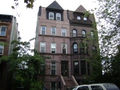
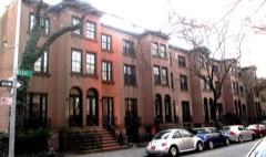
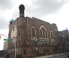
Block
BlockFrom the record
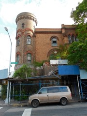
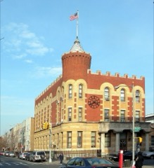
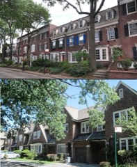
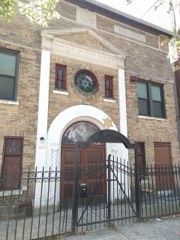
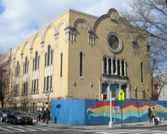
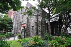
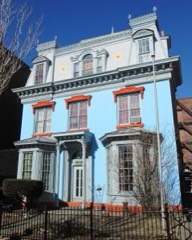
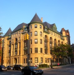
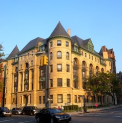
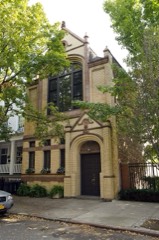
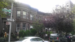
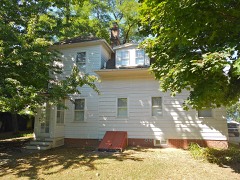
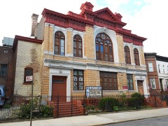
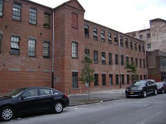
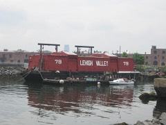
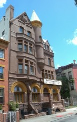
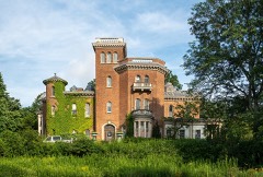
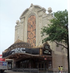
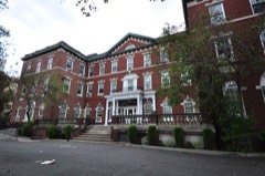
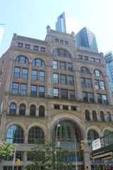
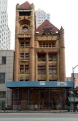
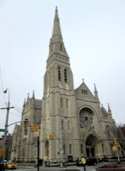
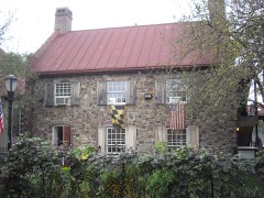
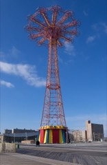
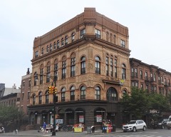
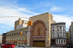
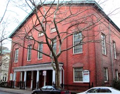
207 National Register listings published here, 6 of them National Historic Landmarks.
Sources: the National Register database, National Park Service
Kings County is the borough of Brooklyn. 93 topographic sheets cover 50 settlements here, and 207 properties are on the National Register of Historic Places.
207 National Register listings published here, 6 of them National Historic Landmarks.
Sources: the National Register database, National Park Service
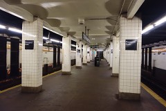
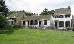
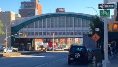
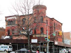
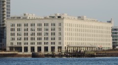
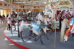
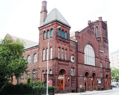
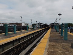
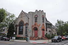
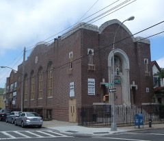
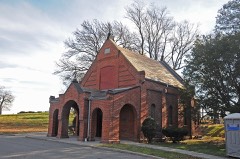
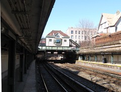
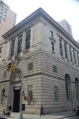
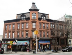
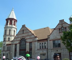
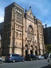
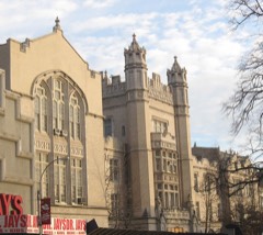
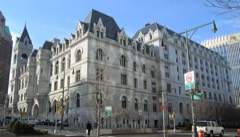
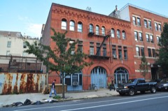
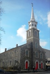
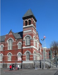
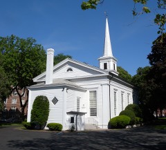
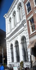
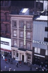
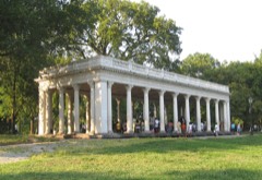
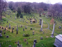
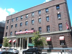
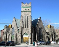
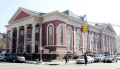
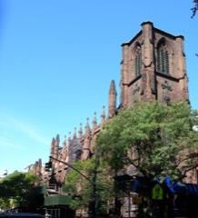
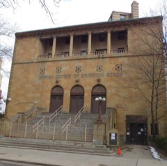
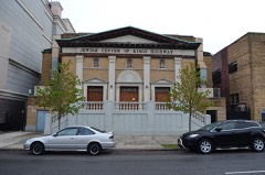
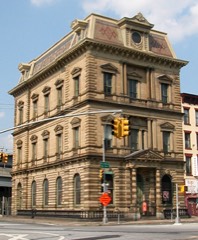
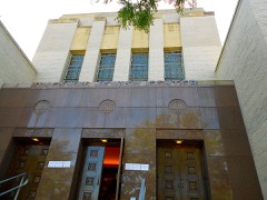
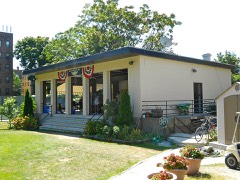
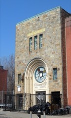
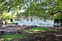
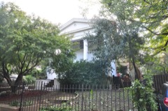
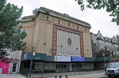
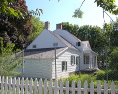
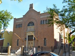
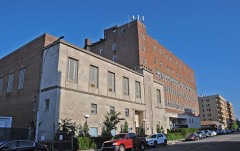
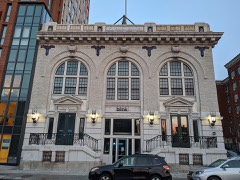
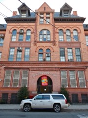
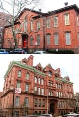
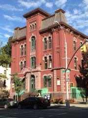
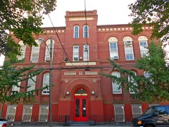
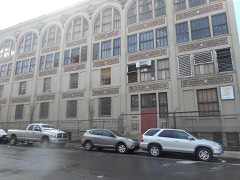
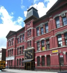
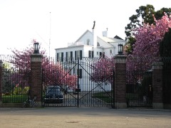
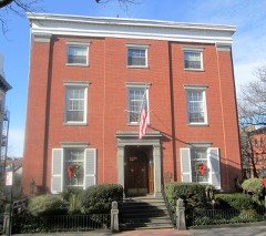
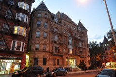
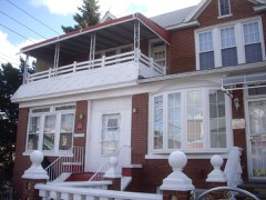
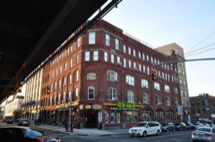
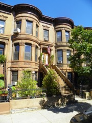
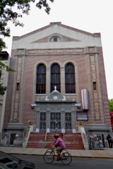
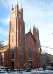
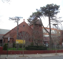
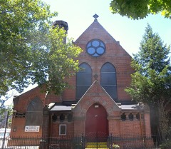
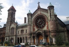
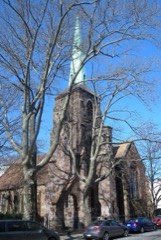
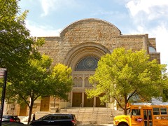
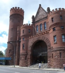
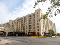
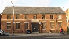
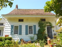
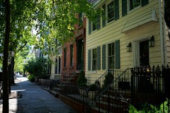
Every property in this county listed on the National Register of Historic Places, with the year it was listed and the federal nomination document.
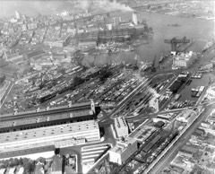
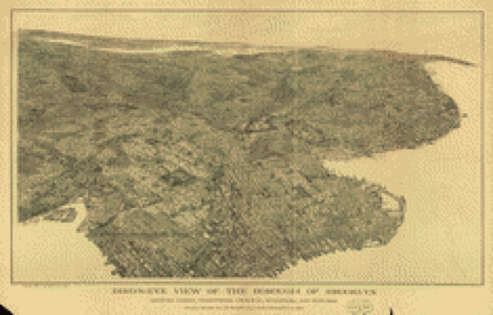
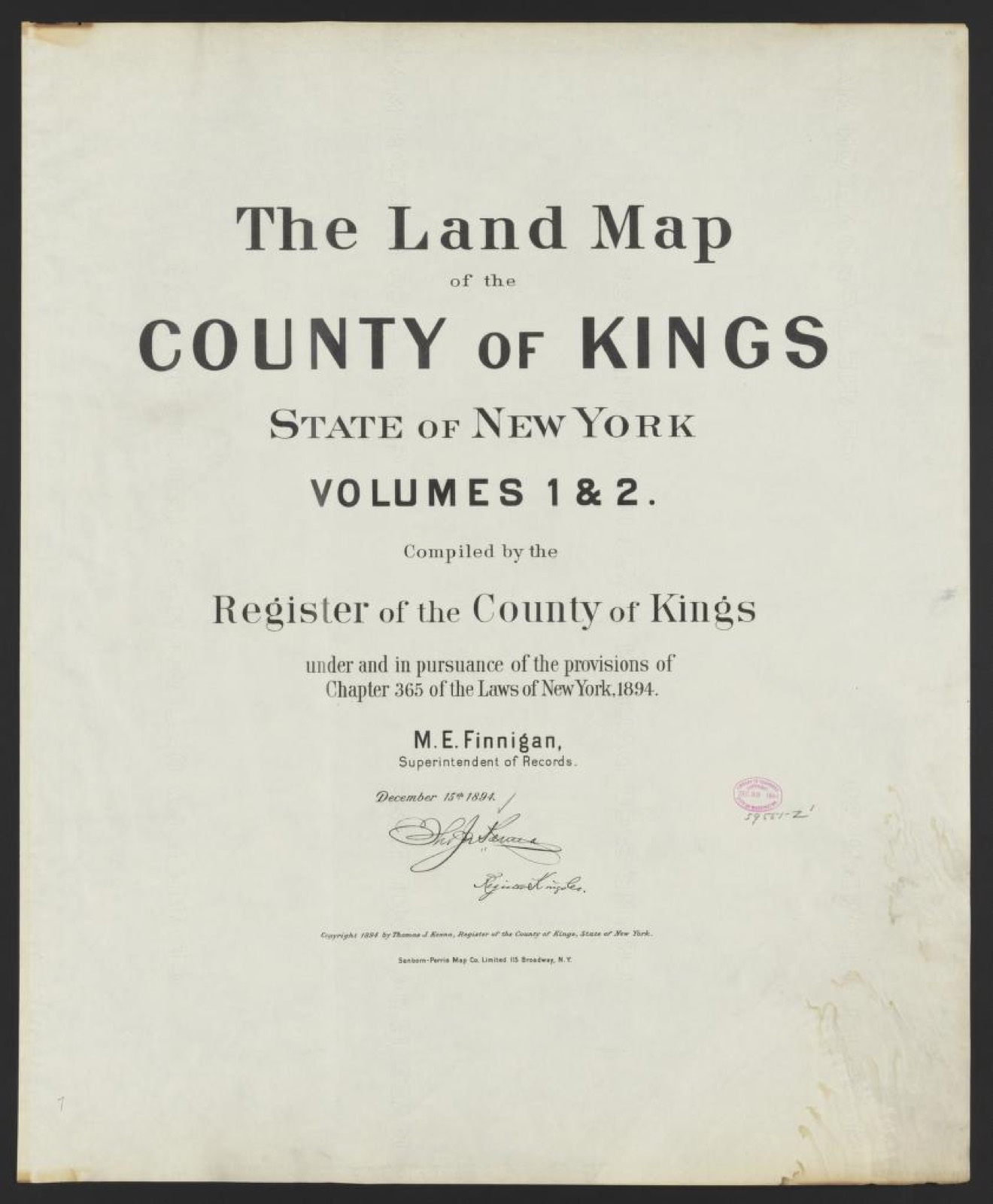
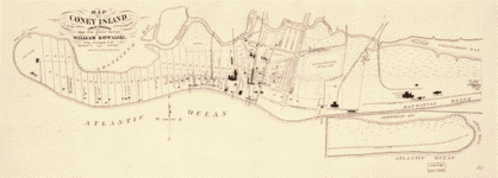
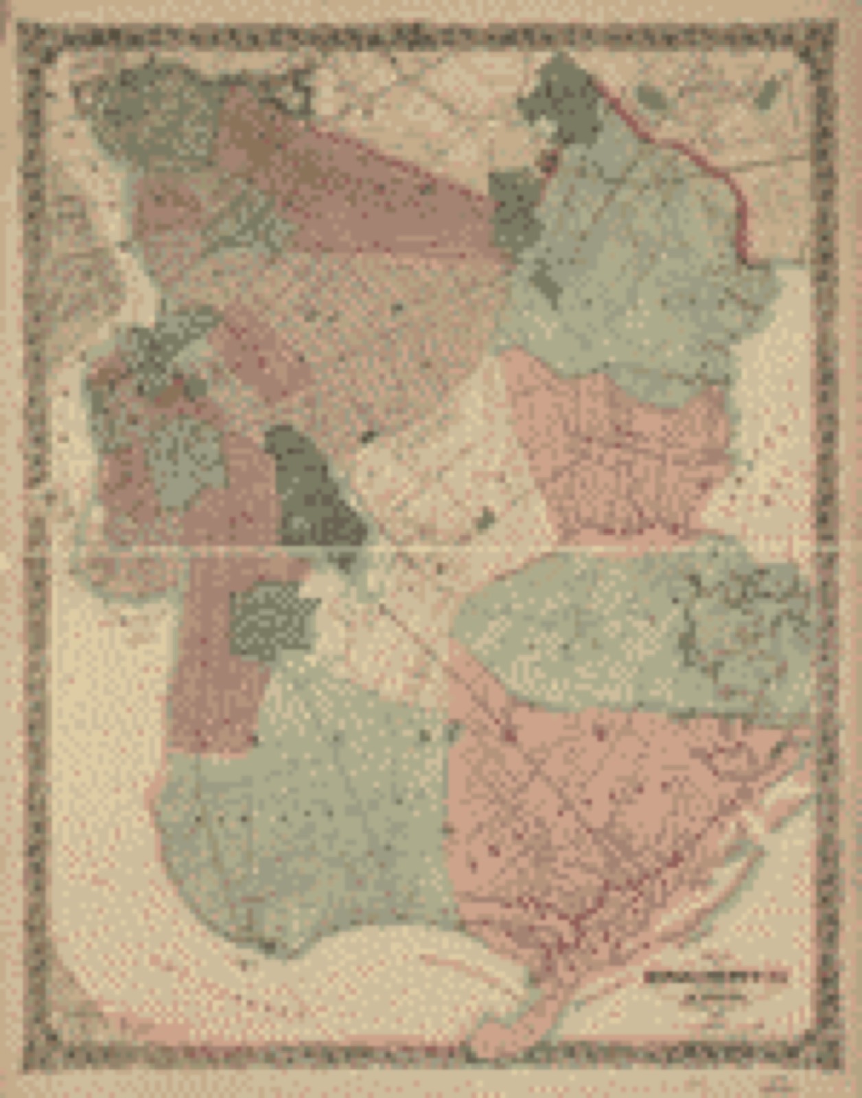
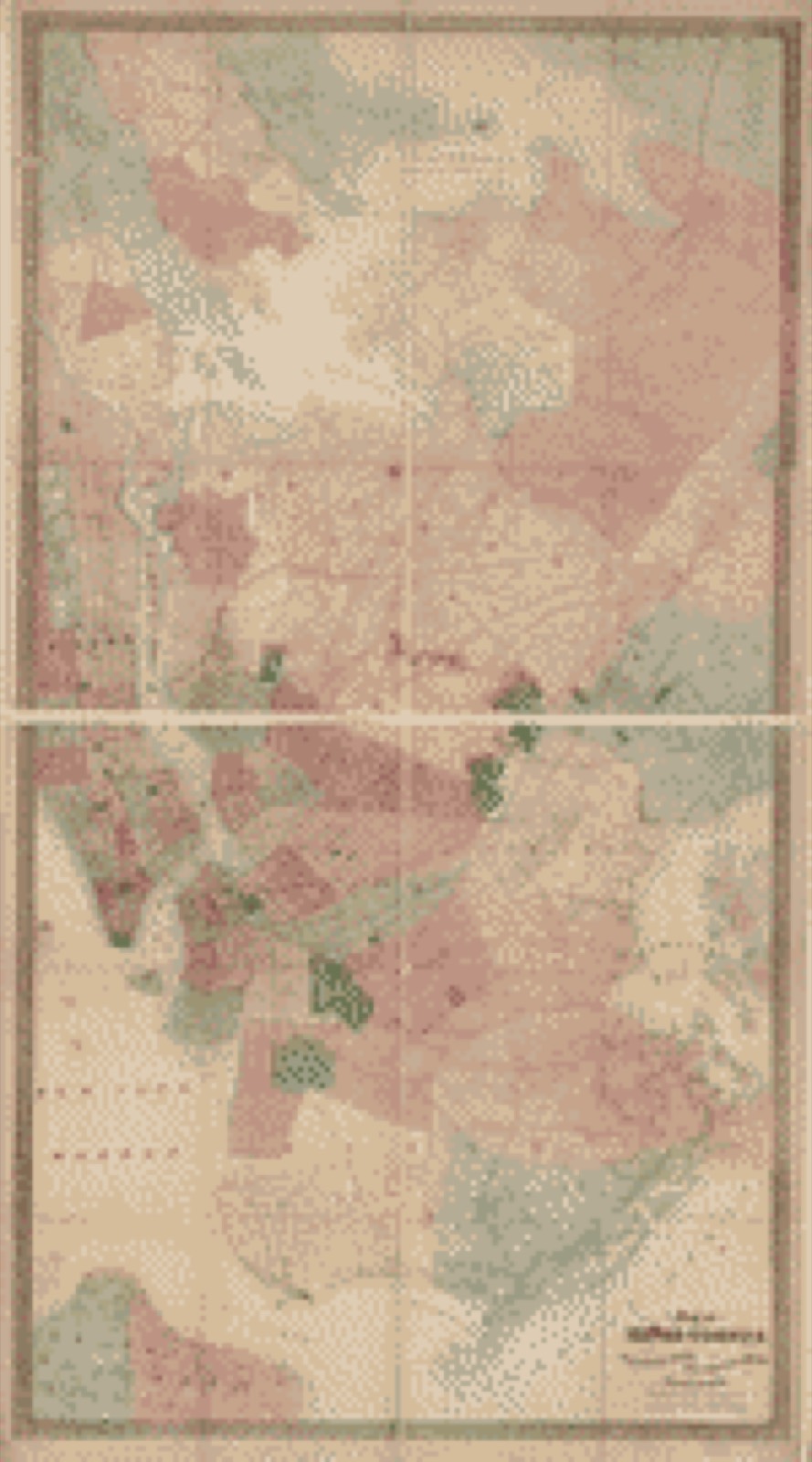
Drawn when these were printed as single large sheets: the town seen from the air, and the county divided into its farms with every owner named. Each opens the original at the Library of Congress.
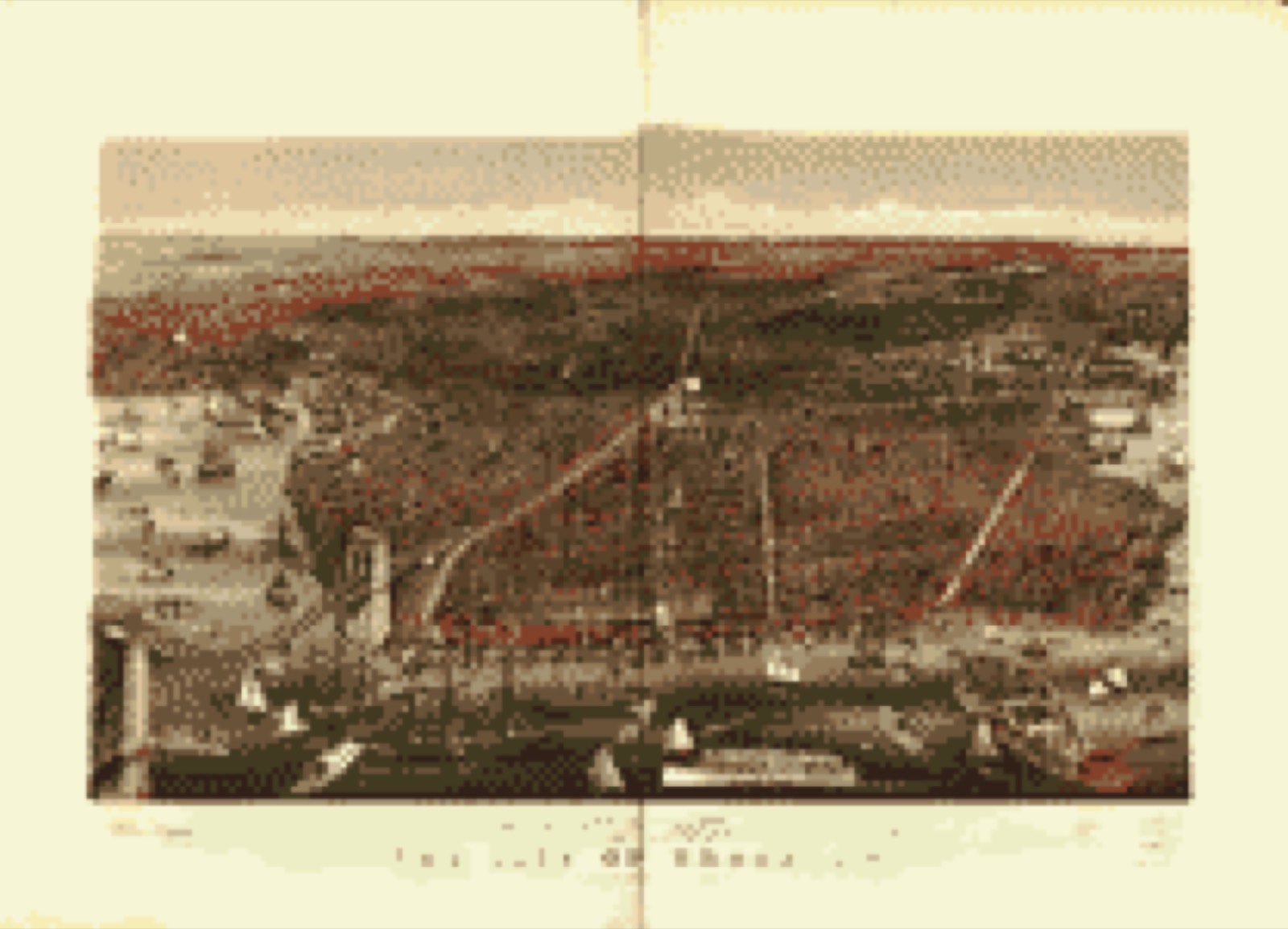
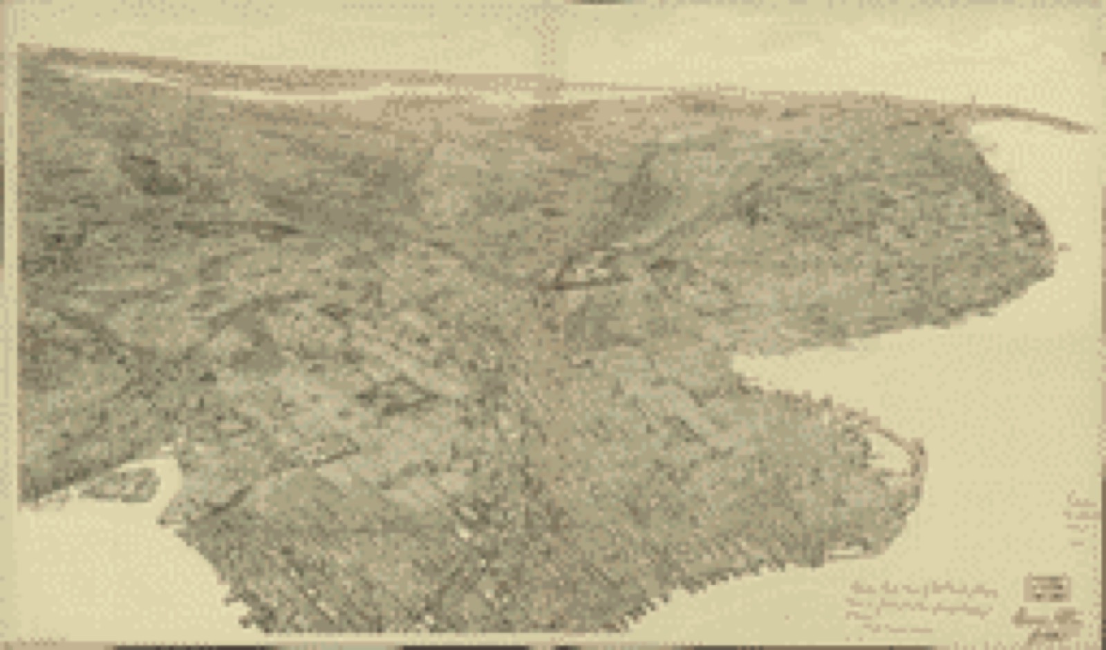
![Bird's-eye view, 1908 - [Bird's-eye-view of Brooklyn]](assets/locview_77693694.jpg)


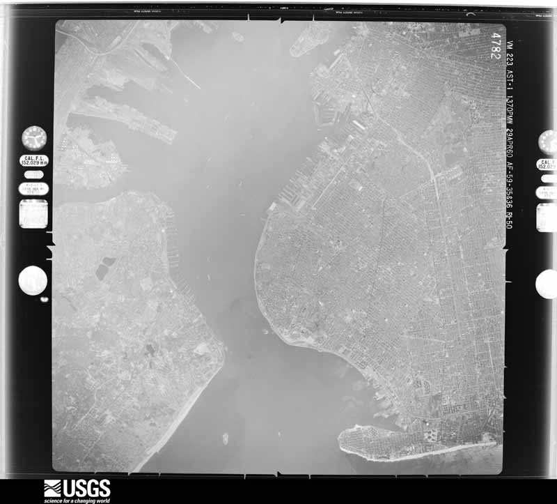
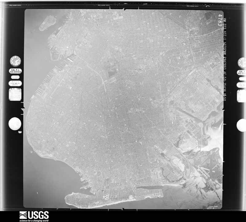
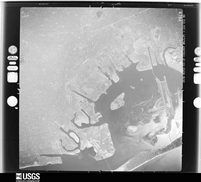
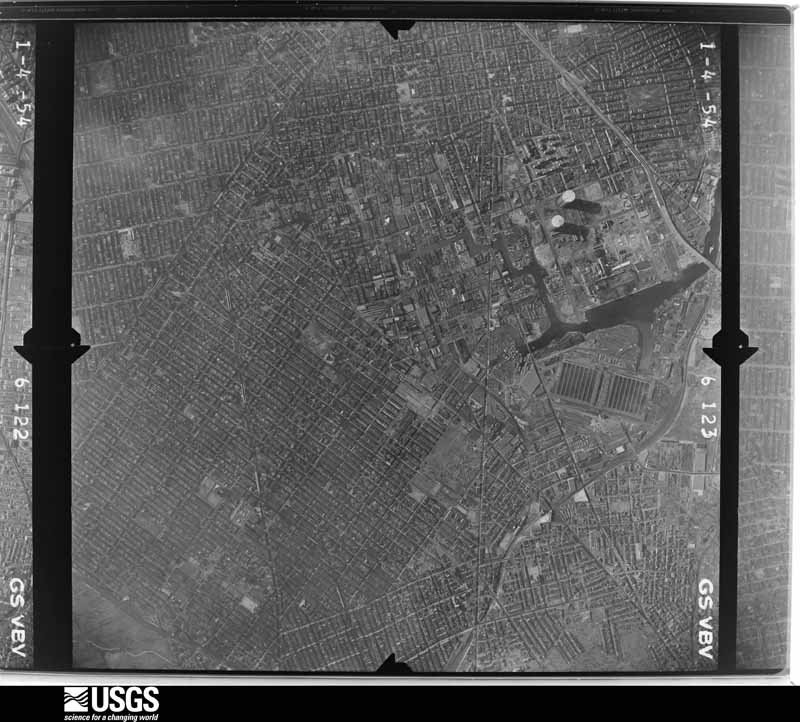
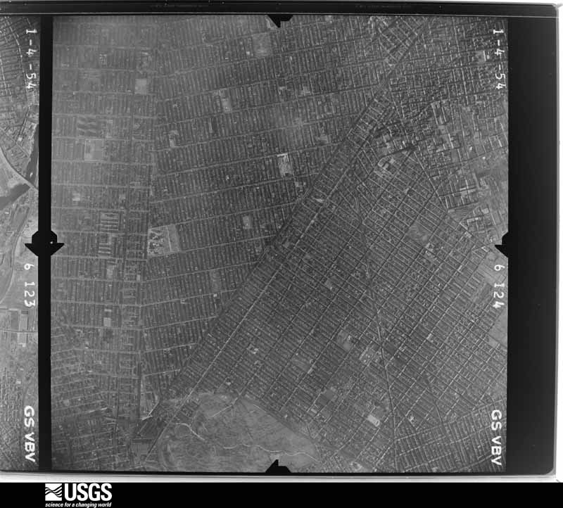
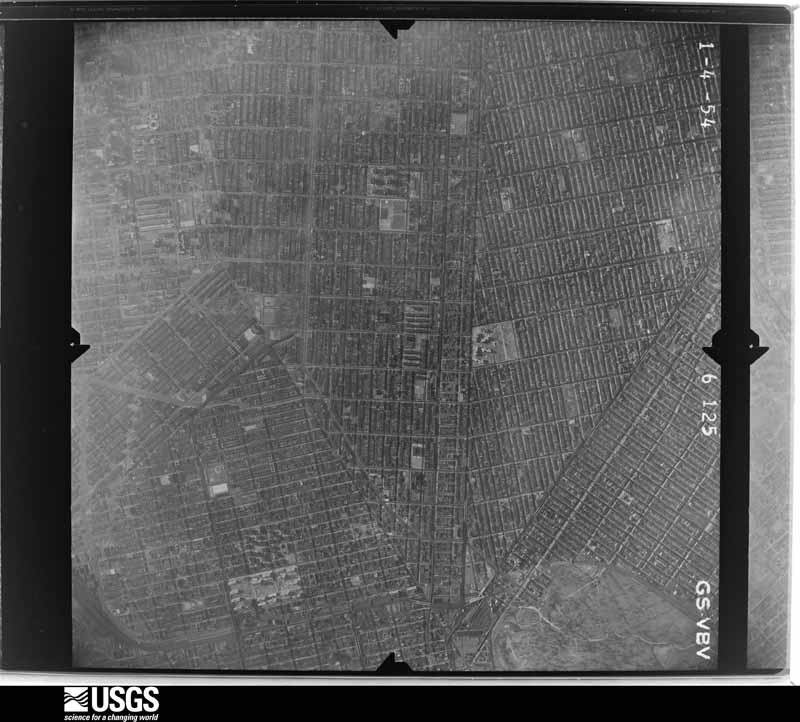
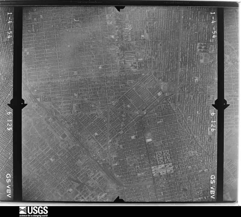
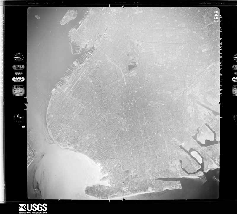
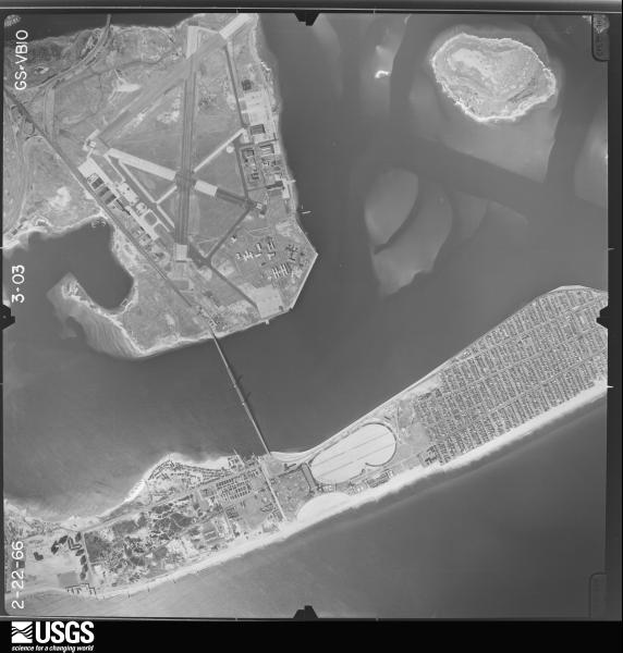
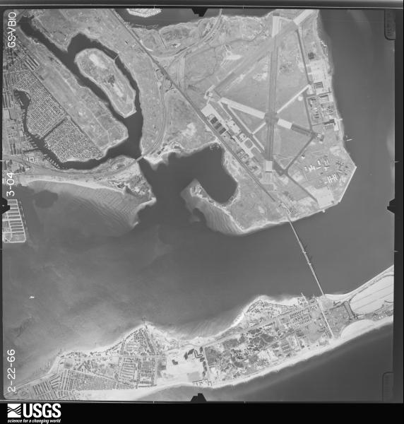
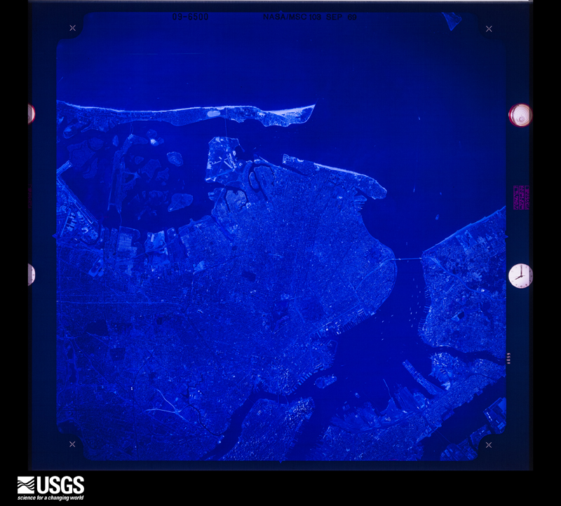
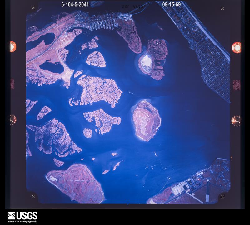
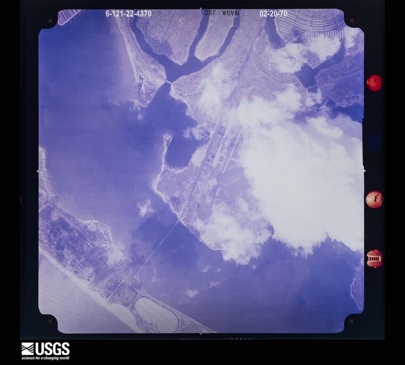
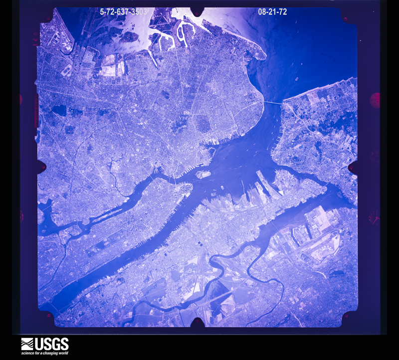
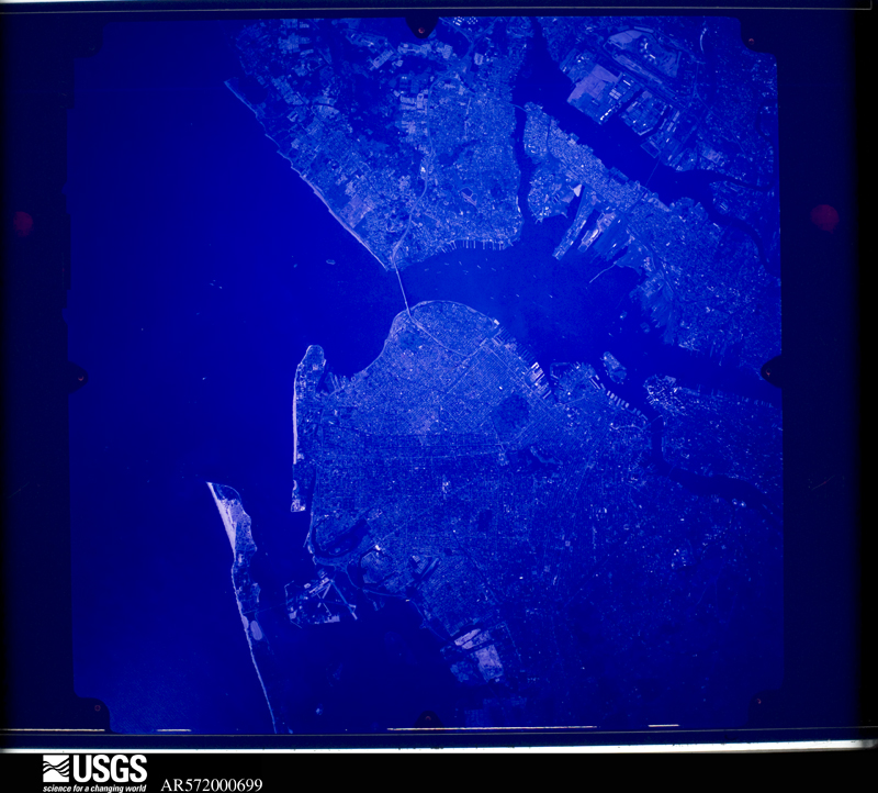
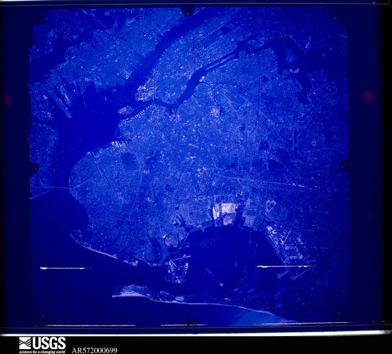
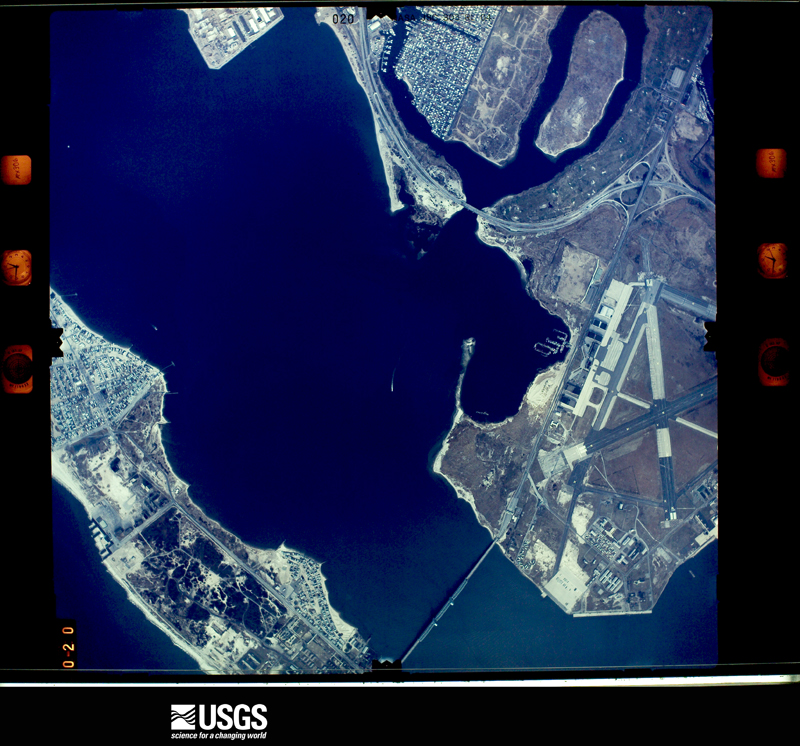
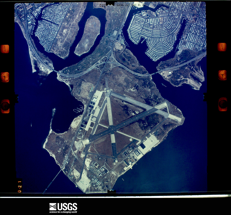
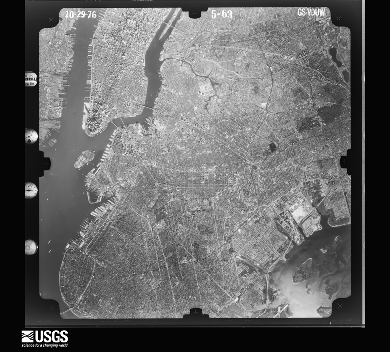
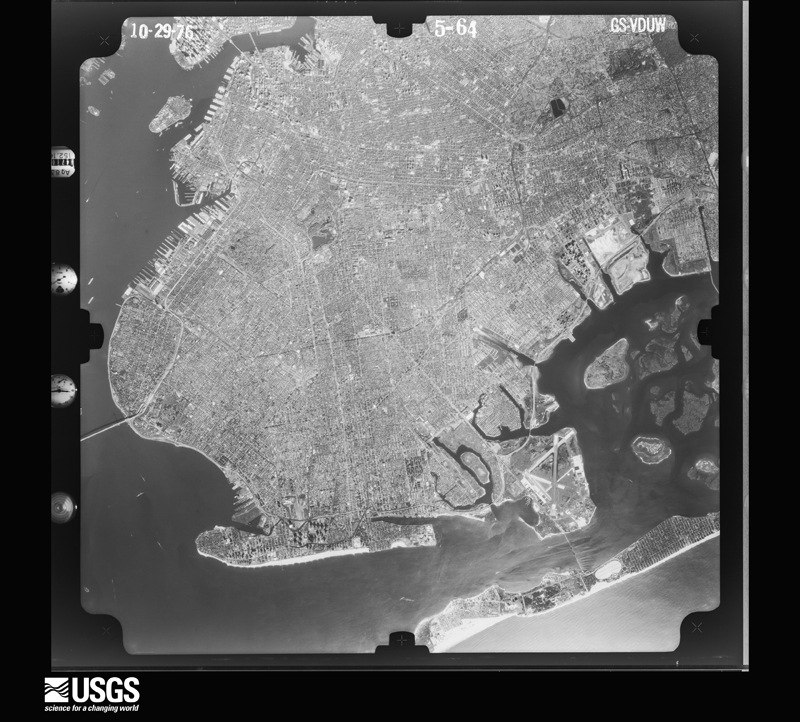
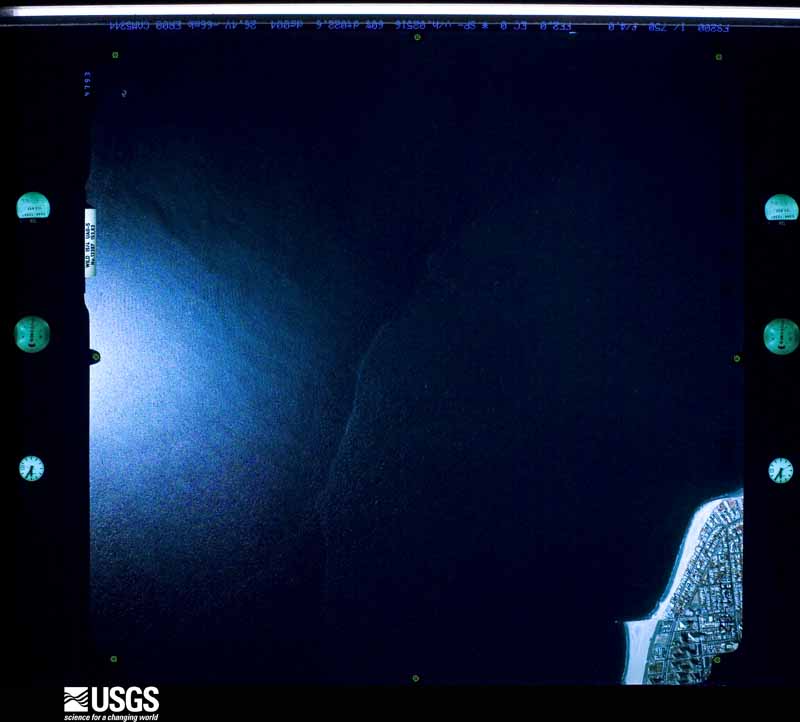
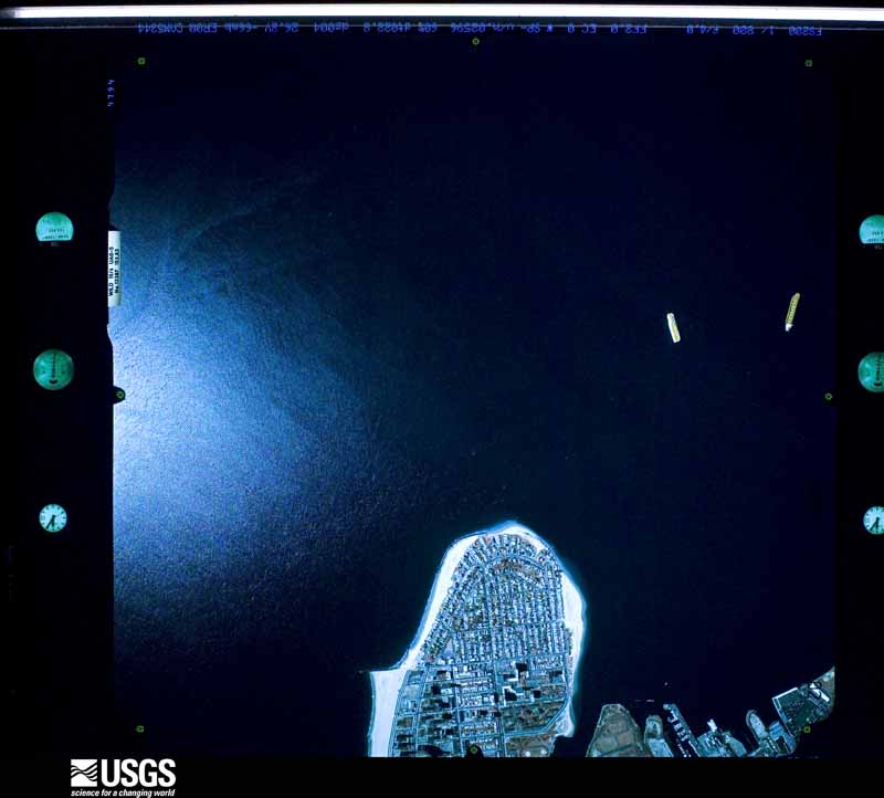
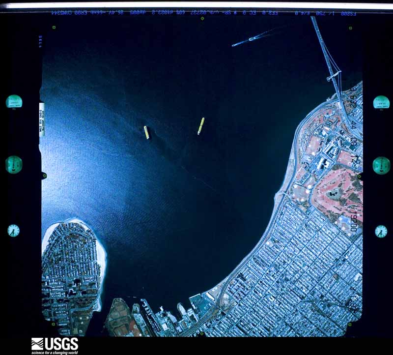
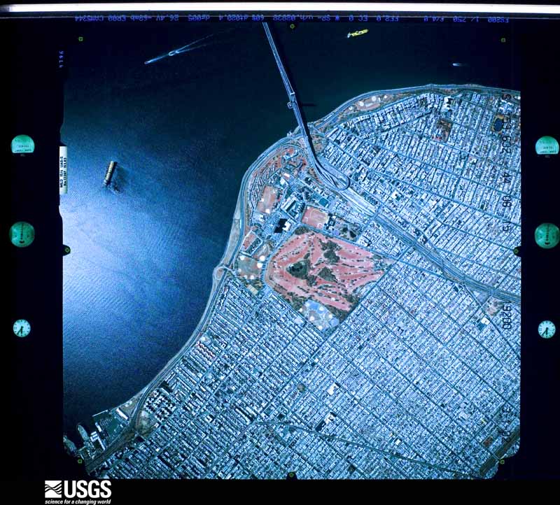
Flown by the U.S. Geological Survey between 1937 and 1989, the Aerial Photo Single Frames collection is the definitive mid-century view of the land: fields, roads and rivers as the camera saw them. The Survey holds 1,192 frames inside the rectangle that bounds this county; the 35 frames below were taken over the county itself, chosen across the decades of flights (at most four a year from that rectangle), so one flight cannot crowd out the rest. The full set is free to browse and download at EarthExplorer under the dataset Aerial Photo Single Frames.
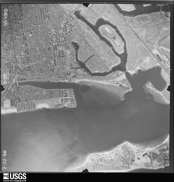
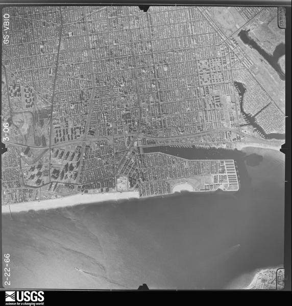
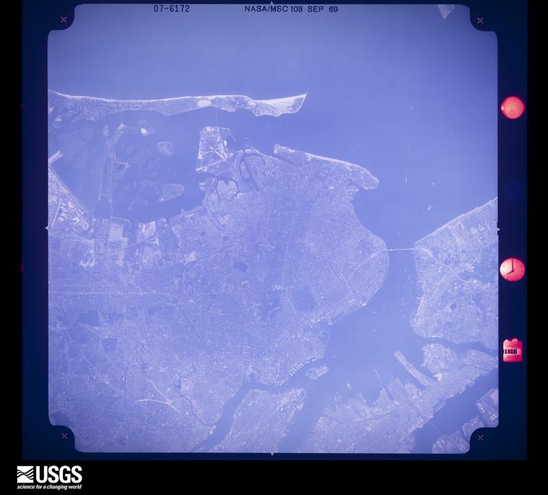
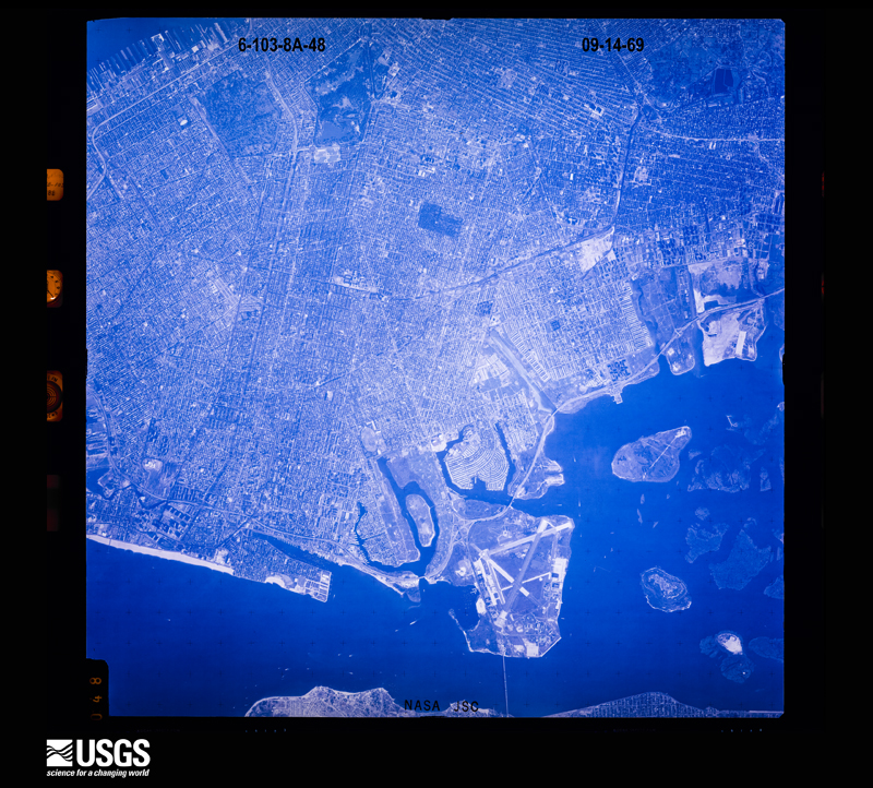



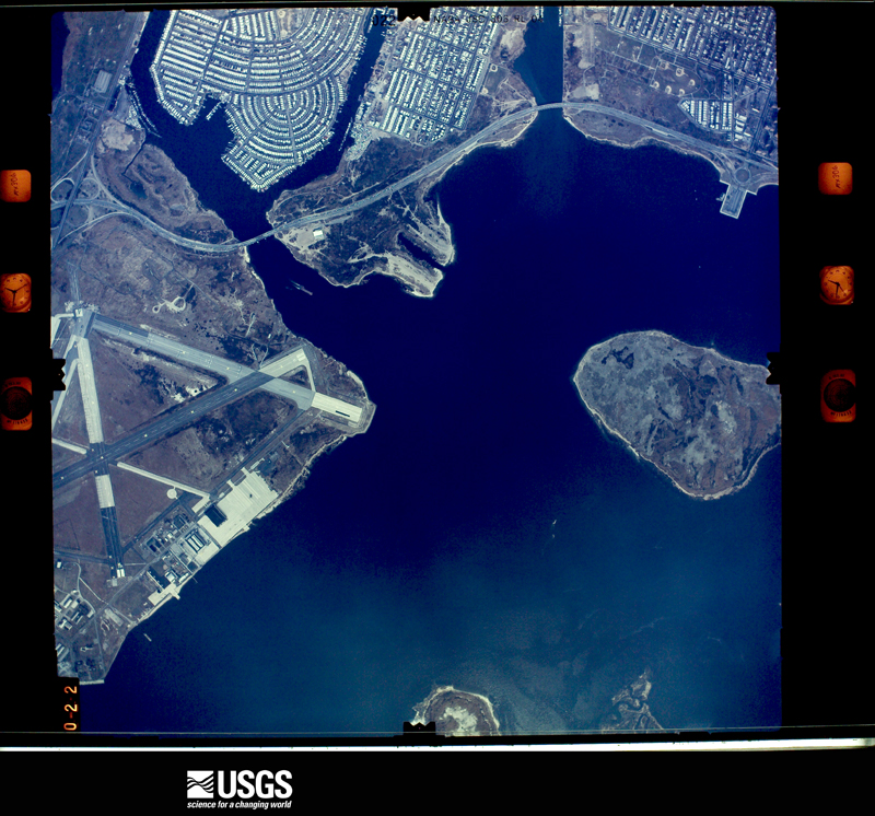
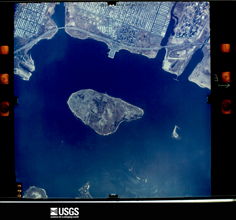
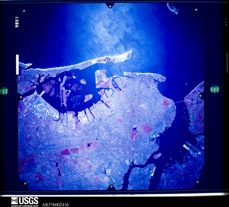
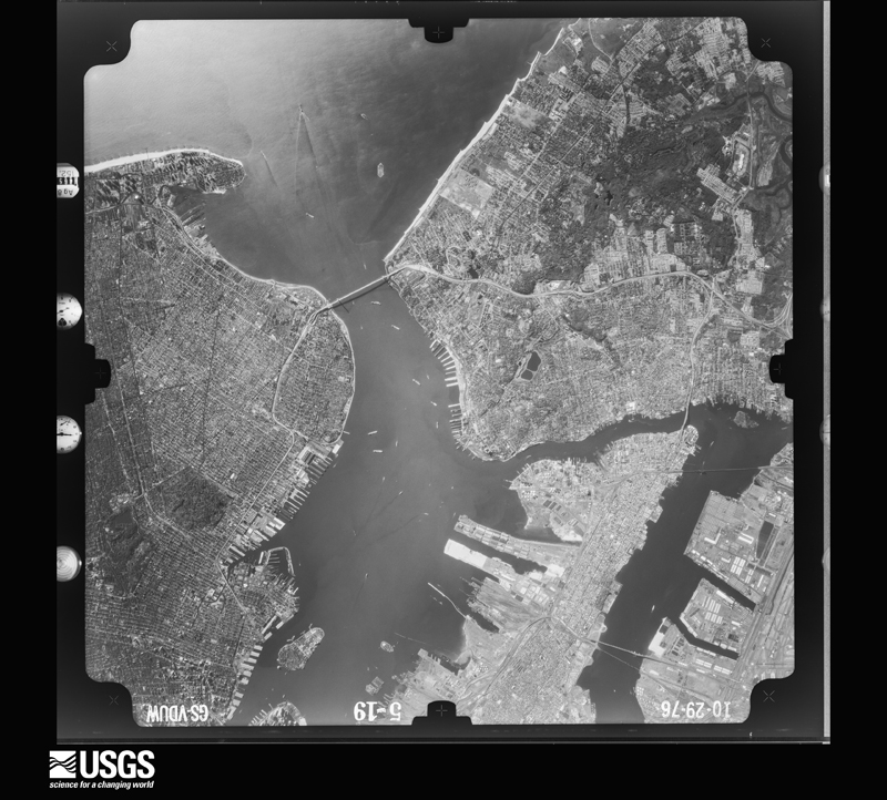
The thermometers that kept this county's weather, as the federal records hold them. The extremes below are measured values from those records, not estimates.
Who lived here in 1950, one enumeration district at a time, as the Census Bureau described each district. Each row opens its official National Archives result, with Population Schedules and ED Maps available there.
Every wildfire the federal occurrence database records inside this county: 2,475 of them, burning about 985 acres. 140 started naturally and 214 were recorded as arson. Each settlement page carries the fires within five miles of it.
| Reported cause | Fires |
|---|---|
| Missing data/not specified/undetermined | 1766 |
| Arson/incendiarism | 214 |
| Natural | 140 |
| Smoking | 129 |
| Debris and open burning | 82 |
| Equipment and vehicle use | 59 |
| Misuse of fire by a minor | 33 |
| Recreation and ceremony | 22 |
| Fireworks | 16 |
| Railroad operations and maintenance | 8 |
| Power generation/transmission/distribution | 4 |
| Other causes | 2 |
The five largest, by the area the report gives. One of them was set deliberately.
| Date | Cause | Size | Reported by | Name on the report |
|---|---|---|---|---|
| 6 July 1997 | Missing data/not specified/undetermined | 70 acres | Gateway National Recreation Area | NORTH40 |
| 18 April 2006 | Natural | 45 acres | Gateway National Recreation Area | GOLF |
| 30 May 1996 | Missing data/not specified/undetermined | 40 acres | Gateway National Recreation Area | GI2 |
| 12 June 2016 | Recreation and ceremony | 37 acres | Gateway National Recreation Area | DEAD HORSE BAY 2 |
| 1 March 2020 | Arson/incendiarism | 22 acres | New York Forest Rangers | GERRITSEN BEACH FIRE |
| 6 November 1999 | Missing data/not specified/undetermined | 22 acres | Gateway National Recreation Area | GREENWAY02 |
| 25 March 1995 | Missing data/not specified/undetermined | 20 acres | Gateway National Recreation Area | BARREN1 |
| 1 February 1992 | Missing data/not specified/undetermined | 17 acres | Gateway National Recreation Area | WILNER |
Every settlement page carries the fires within five miles of it - see the settlement index below.
The NOAA Storm Events Database holds 213 reports for this county, causing 6 deaths, 29 injuries and about $70,571,000 in recorded property damage. Each settlement page carries the reports that name it.
| Kind of event | Reports |
|---|---|
| Thunderstorm Wind | 86 |
| Flash Flood | 71 |
| Heavy Rain | 17 |
| Lightning | 13 |
| Flood | 12 |
| Hail | 7 |
| Tornado | 3 |
| Funnel Cloud | 2 |
| Winter Weather | 1 |
| Rip Current | 1 |
The most serious of them, by death, then injury, then recorded damage. The accounts are quoted exactly as the forecast office filed them.
| When | Event | Place named | Harm | What the report says |
|---|---|---|---|---|
| June 2005 | Rip Current | Brooklyn | 2 killed | Two swimmers, 16 and 40 years of age, drown as they were caught in a rip current at the beach off 93rd street in the Rockaways. Two others escaped without injury. Weather conditions included south winds at 10 to 15 MPH at the time, with no long period swells reported. |
| October 2025 | Flash Flood | Brooklyn | 1 killed | High standing water with water levels above tires on some cars with leaf debris in water with of occurrence estimated. One fatality was reported by FDNY as a men entered the basement to save his dog and drowned. |
| September 2021 | Flash Flood | Brooklyn | 1 killed | A 66 year old man died when his basement apartment on Ridgewood Avenue near Autumn Avenue in Cypress Hills, Brooklyn flooded. |
| July 2003 | Thunderstorm Wind | Brooklyn | 1 killed | A 52 year old female was fatally injured when a large branch dislodged from a tree and fell on her. This accident occurred on the corner of Avenue J and East 19th Street in the Flatbush section of Brooklyn. |
| April 2002 | Thunderstorm Wind | Brooklyn | 1 killed | no account filed |
| August 2007 | Tornado (EF2) | Coney Is | 9 hurt | This circulation intensified as it moved east across the Verrazano Narrows. The tornado re-developed by the time the circulation moved on shore in Brooklyn. Damage in the form of fallen trees and structural roof damage occurred in Bay Ridge starting in the area from Shore Road between 71st and 78th Streets eastward to Bay Ridge Blvd. This occurred at approximately 6:32 am. The tornado may have briefly lifted and then touched down again on Bay Ridge Avenue between 3rd and 4th Avenues, and continued on an east-northeast path across 68th Street between 3rd and 4th Avenues. Eleven homes in this section had moderate to severe roof damage. The storm continued to move east-northeast into Leif Ericson Park Square, where severe damage to trees occurred. As the tornado lifted, it tore off the roof of the Nissan car dealership at the corner of 66th Street and Fifth Avenue. The tornado returned to the ground farther northeast, with scattered tree damage along 6th avenue. Based on the assessed damage in Bay Ridge, this tornadic damage is classified as EF-2 with estimated wind speeds of 111 to 135 mph.||The tornado returned to the ground as another pocket of significant damage occurred on 58th Street between 5th and 6th Avenues. The roof was ripped off of 5 homes, and tree damage indicated strong EF-1 damage.||The tornado then headed east, and touched down for at least the fourth, but final time, in Kensington just east of the intersection of Church Avenue and Beverly Road at approximately 6:40 am. Numerous trees, approximately 30, were uprooted along Ocean Parkway as the tornado moved east. The tornado produced significant damage to trees and structures in the area with East 8th and 7th Streets being hit hard. Damage was reported as far east as Argyle Road. The tornado was on the ground for approximately 1/2 mile in this area before it lifted.| |
| December 1996 | Winter Weather | Countywide | 6 hurt | no account filed |
| June 2000 | Lightning | Brooklyn | 5 hurt | no account filed |
| July 1997 | Thunderstorm Wind | Brooklyn | 3 hurt | no account filed |
| July 2010 | Lightning | Brooklyn | 1 hurt | A man was struck by lightning along Eastern Avenue in the Crown Heights section of Brooklyn. |
| September 2010 | Thunderstorm Wind | Brooklyn | 1 hurt | A deliveryman was injured at 7th Avenue and 9th Street as plate-glass windows were blown out of the Brooklyn Industries Store. |
| July 2009 | Lightning | Homecrest | 1 hurt | A man was injured by a lightning strike at cricket field near Avenue S and East 32nd Street. |
| June 2000 | Thunderstorm Wind | Brooklyn | 1 hurt | no account filed |
| September 1998 | Thunderstorm Wind | Countywide | 1 hurt | no account filed |
| September 1998 | Hail | Coney Is | 1 hurt | no account filed |
| September 2021 | Flash Flood | New York | $60,000,000 | Flash flooding resulted in an estimated $60 million in damages across Brooklyn, and an estimated $300 million city-wide. This estimate only includes FEMA and SBA fund requests. |
| September 2010 | Tornado (EF0) | Brooklyn | $8,500,000 | A National Weather Service Storm Survey Team confirmed a tornado near Park Slope in Brooklyn.||In the northern portion of Prospect Park, there were signs of tree damage that converged towards a well defined narrow path. Tree tops were twisted and sheared off. The location of the tornado was bounded by Prospect Park on the west, Flatbush Avenue on the east and Subway Grand Army Plaza to the north. The tornado formed just southwest of the Brooklyn Public Library and lifted around 2 miles northeast of Park Slope. |
| October 1996 | Flash Flood | Countywide | $1,500,000 | no account filed |
| September 2012 | Tornado (EF1) | Homecrest | $250,000 | This is the fourth segment of a combined waterspout/tornado that originated as a waterspout about 1 mile south of the tip of Breezy Point in ANZ-355 (Coastal Waters From Sandy Hook NJ to Fire Island Inlet NY out to 20 Nautical Miles) at 10:56 am. The waterspout then reached land and crossed Breezy Point Queens as an EF0 tornado from 10:58 to 10:59 am. The tornado then went back over water, traversing the Eastern Arm of Lower New York Harbor (ANZ-338), to the west of Rockaway Inlet, from 10:59-11:00 am as a waterspout. At 11:01 am, the waterspout made landfall as a tornado to the southeast of Plumb Beach, about 750 feet south of the Belt Parkway. The tornado traversed northeast across Marine Park, based on video evidence, then through the Mill Basin Section of Kings County/Brooklyn where it brought down a tree and limbs along Whitman Drive around 11:02 am. The tornado continued heading northeast into Bergen Beach where it downed a tree and several limbs between the corner of East 70th Street and Avenue Y and the corner of Royce Street and Avenue W around 11:03 am. The tornado then crossed the Canarsie section of Kings County/Brooklyn from 11:04 to 11:05 am before lifting near the corner of East 94th Street and Avenue N. In Canarsie, the tornado caused structural damage to several homes and to several trees in and around Canarsie Park. |
| June 2021 | Thunderstorm Wind | Brooklyn | $45,000 | Twenty nine trees reported down. |
| July 2023 | Thunderstorm Wind | Coney Is | $30,000 | Trees down along Bay Ridge Avenue in Bensonhurst between 18th and 20th Avenue. Social media photos depict numerous large trees down on roadway and vehicles. |
| September 2012 | Thunderstorm Wind | New York | $25,000 | Numerous trees and limbs were reported down throughout the Borough of Brooklyn/Kings County. |
| March 2022 | Thunderstorm Wind | Coney Is | $20,000 | Fallen tree on home. |
| July 2023 | Lightning | Homecrest | $18,000 | Reported lightning strike to a house in Marine Park Brooklyn. |
| June 2020 | Thunderstorm Wind | Brooklyn | $15,000 | Large tree down on a house near the intersection of 9th Avenue and 57th Street. |
| July 2023 | Thunderstorm Wind | Coney Is | $10,000 | Several trees and wires down near Bay Ridge Parkway and 18th Avenue. |
| July 2020 | Lightning | Brooklyn | $10,000 | Lightning struck a home on Jerome Street and Arlington Avenue in Cypress Hills sparking a house fire. |
| April 2019 | Thunderstorm Wind | Brooklyn | $10,000 | Downed and damaged trees reported in parks across the borough...time estimated by radar. |
| June 2019 | Thunderstorm Wind | Brooklyn | $10,000 | A large tree down on a home on East 5th Street. |
| August 2019 | Lightning | Brooklyn | $10,000 | Fire in the attic of a two-story house after being struck by lightning on East 51st Street. |
| June 2017 | Thunderstorm Wind | Homecrest | $10,000 | A tree fell into a home in Marine Park. |
| September 2012 | Thunderstorm Wind | Brooklyn | $7,500 | Multiple trees and power lines were reported down in Flatbush. |
| June 2020 | Thunderstorm Wind | Brooklyn | $6,000 | Large tree limbs fell and damaged the roof of a car on East 19th Street between Foster Avenue and Glenwood Road. |
| September 2019 | Thunderstorm Wind | Coney Is | $6,000 | Tree fell onto a car at Gravesend Neck Road and West Street. |
| August 2025 | Lightning | Brooklyn | $5,000 | Lightning strike caused traffic light to catch fire at Avenue K and Kings Highway in Brooklyn. |
| June 2021 | Thunderstorm Wind | Brooklyn | $5,000 | Large branches downed with 60 to 70 mph winds estimated. |
| June 2020 | Thunderstorm Wind | Brooklyn | $5,000 | A large tree split in half with the top half and branches on the house at 57th Street and 9th Avenue. |
| May 2018 | Thunderstorm Wind | Brooklyn | $5,000 | A tree on car on Saint John's Place in Park Slope. |
| May 2018 | Thunderstorm Wind | Brooklyn | $5,000 | Tree down on parked cars on Lincoln Place between 7th Avenue and 8th Avenue in Park Slope. |
| July 2016 | Thunderstorm Wind | Brooklyn | $5,000 | Large tree limbs down and metal picnic tables were flipped over near the Prospect Park Zoo. |
| June 2013 | Thunderstorm Wind | Brooklyn | $5,000 | A tree fell onto a home in East Flatbush. |
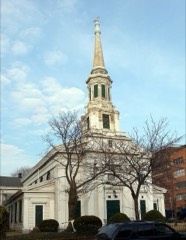
| July 2012 | Lightning | New York | $5,000 | Lightning struck the steeple of Christ Church in Cobble Hill causing the steeple to crash into the sanctuary. This caused scaffolding around the church to collapse on a pedestrian, killing the man. |
| July 2008 | Lightning | Coney Is | $5,000 | A four story brick residence was struck by lightning, causing damage to portions of the roof. A two by three foot section of the brick roof was dislodged and fell to the street and sidewalk below. No injuries were reported. |
| June 2020 | Thunderstorm Wind | Coney Is | $4,000 | Large tree limbs reported down on McDonald Avenue at Samual Hubbard House and surrounding area. |
| August 2019 | Thunderstorm Wind | Brooklyn | $4,000 | A large tree reported down. |
| August 2019 | Thunderstorm Wind | Brooklyn | $4,000 | A large tree down on power lines on Bedford Avenue. |
| August 2025 | Thunderstorm Wind | Brooklyn | $3,000 | Utility company states many weather related power outages across Brooklyn, with 5000+ customers without power near Midwood. |
| August 2025 | Thunderstorm Wind | Brooklyn | $3,000 | Downed wires on Avenue J in Brooklyn. |
| August 2024 | Thunderstorm Wind | Homecrest | $3,000 | A few trees down along the MTA Q line in Sheepshead Bay. |
| June 2020 | Thunderstorm Wind | Homecrest | $3,000 | Tree snapped at base and high up and fallen to ground at Ocean Parkway and Ocean Court. |
| August 2011 | Thunderstorm Wind | Homecrest | $3,000 | A tree was down across the railroad tracks near Gravesend Neck and Neck Roads in the Sheepshead Bay section of Brooklyn. |
| July 2016 | Thunderstorm Wind | Brooklyn | $2,500 | Large tree limbs and power lines were downed at the intersection of Dean Street and Underhill Avenue near Prospect Heights. |
| June 2024 | Thunderstorm Wind | New York | $2,000 | Large tree branches and wires down. |
| September 2019 | Thunderstorm Wind | Coney Is | $2,000 | Large tree limbs reported down on Van Sicklen Street north of Avenue X. |
| July 2016 | Thunderstorm Wind | Homecrest | $1,500 | Tree limbs fell into power lines in Manhattan Beach. |
| July 2011 | Thunderstorm Wind | Brooklyn | $1,500 | Large tree branches were reported down, taking down power lines along East 102nd Street in the Canarsie section of Brooklyn. |
| April 2021 | Thunderstorm Wind | New York | $1,000 | Tree reported down on roadway. |
| June 2020 | Thunderstorm Wind | Homecrest | $1,000 | Tree down in Marine Park section of Brooklyn. |
| June 2019 | Thunderstorm Wind | Coney Is | $1,000 | Large branch down on Shore Parkway at Coney Island Hospital with time estimated by radar. |
| September 2019 | Thunderstorm Wind | Coney Is | $1,000 | Large tree limb reported down on Van Sicklen Street south of Avenue T. |
The Survey's mineral resources record lists 3 workings inside this county. None of them still produces: all are closed or unrecorded. Each settlement page carries the workings within five miles of it.
| Commodity | Workings |
|---|---|
| Lead | 2 |
| Iron | 1 |
The least common of them first, because a county's hundredth gravel pit says nothing its first ten did not.
| Where | Site | Commodity | Status | Recorded |
|---|---|---|---|---|
| D Smith Steel/ Brooklyn, N.Y. | Iron | Unknown | ||
| N L Industries/ Brooklyn. N.Y. | Lead | Unknown | ||
| Roosevelt Metal/ Brooklyn, N.Y. | Lead | Unknown |
Named settlements recorded in the Geographic Names Information System, each with the topographic sheets covering it. Villages, hamlets and abandoned places alike. Each is shown with the nearest named watercourse or landform and the survey quadrangle it falls on.
Brooklyn · 11214 · On Coney Island Creek · Coney Island quadrangle
36 sheets, 1889 to 1995
Brooklyn · 11224 · On Coney Island Creek · Coney Island quadrangle
36 sheets, 1889 to 1995
Brooklyn · 11234 · Coney Island quadrangle
36 sheets, 1889 to 1995
No longer a settlement
Brooklyn · 11235 · Near White Island · Coney Island quadrangle
36 sheets, 1889 to 1995
Brooklyn · 11224 · On Coney Island Creek · Coney Island quadrangle
36 sheets, 1889 to 1995
The vanished settlements of Kings County: the places named above that are no longer on the map.