Block
BlockFrom the record
66 National Register listings published here.
Sources: the National Register database, National Park Service
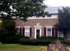
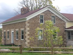
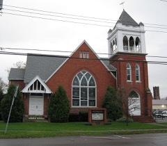
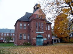
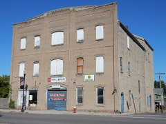
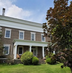
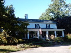
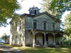
115 topographic sheets cover 42 settlements here, and 66 properties are on the National Register of Historic Places.
66 National Register listings published here.
Sources: the National Register database, National Park Service
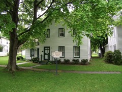
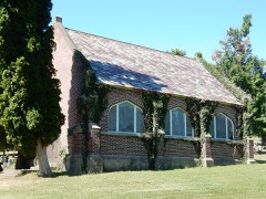
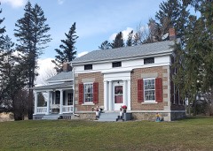
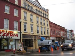
Every property in this county listed on the National Register of Historic Places, with the year it was listed and the federal nomination document.
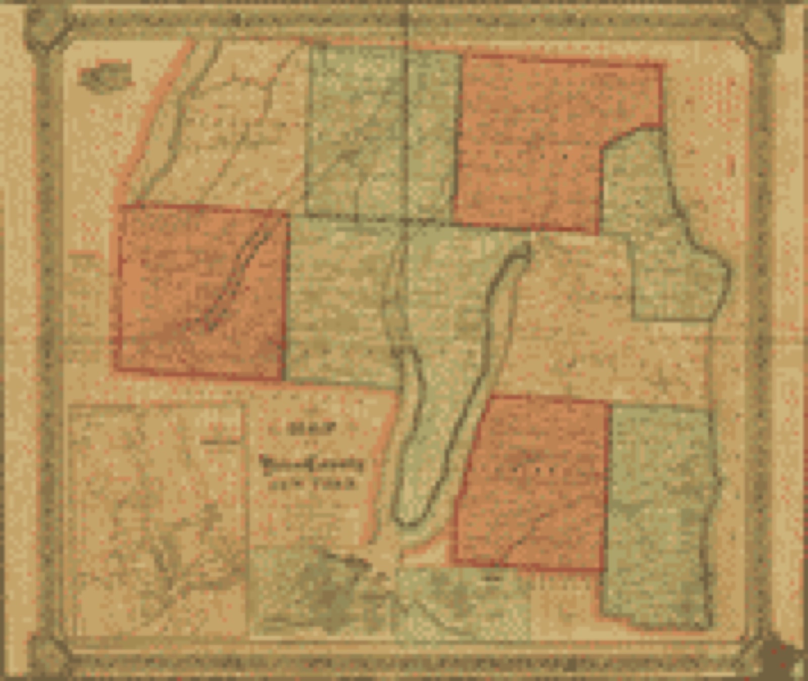
Drawn when these were printed as single large sheets: the town seen from the air, and the county divided into its farms with every owner named. Each opens the original at the Library of Congress.

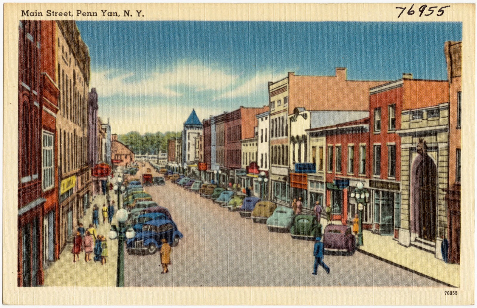
Selected from the Digital Public Library of America's 2 image records catalogued for this county. Every one shown here carries a public-domain status or a licence that permits reuse on a site that carries advertising; non-commercial, share-alike and restricted images are excluded. The selection is spread across the county's towns (at most eight per town), so no single institution's bulk upload crowds out the rest. Each opens the holding library's record, and the complete set at the Digital Public Library of America is one click away.

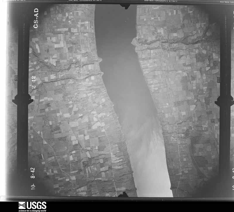
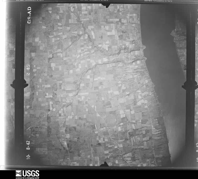
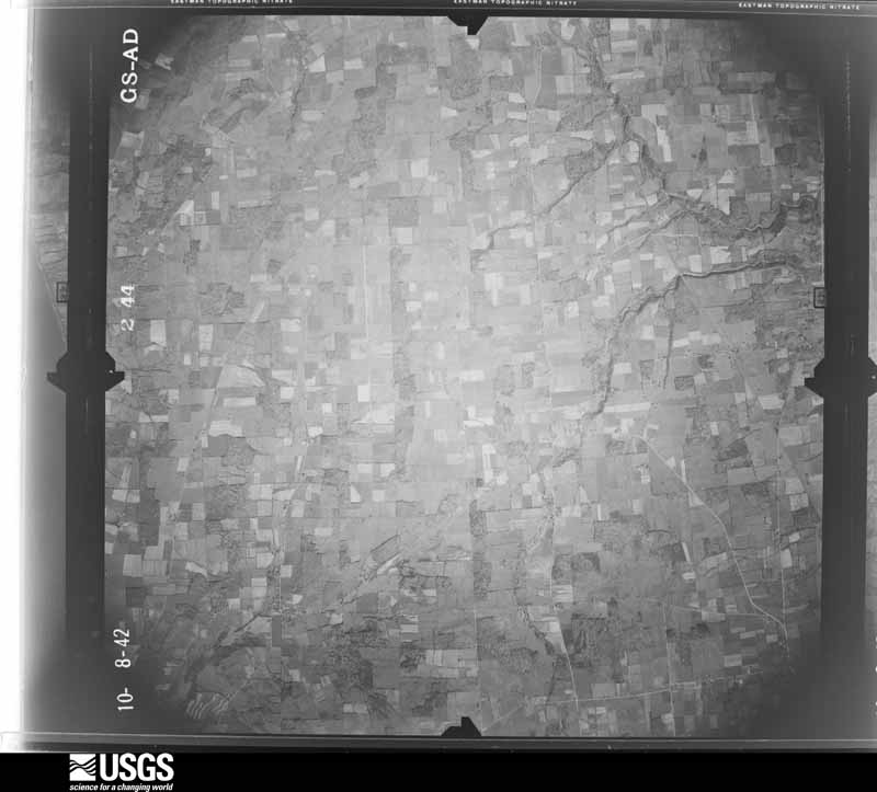
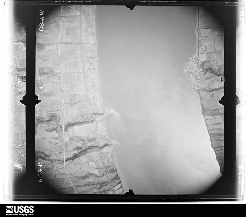
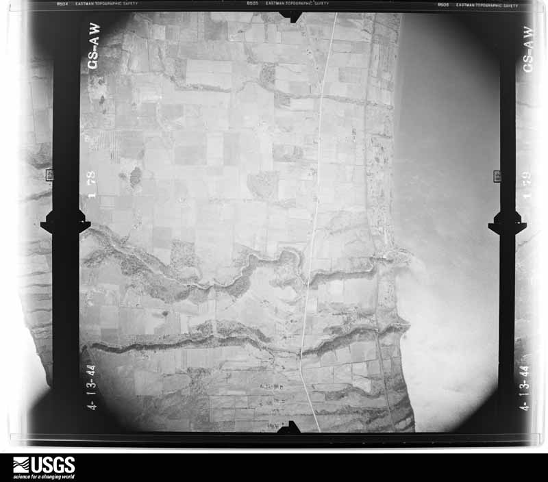
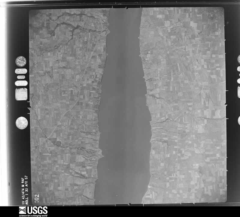
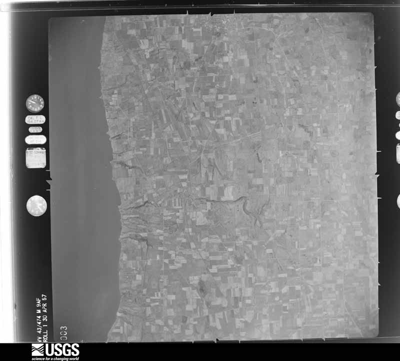
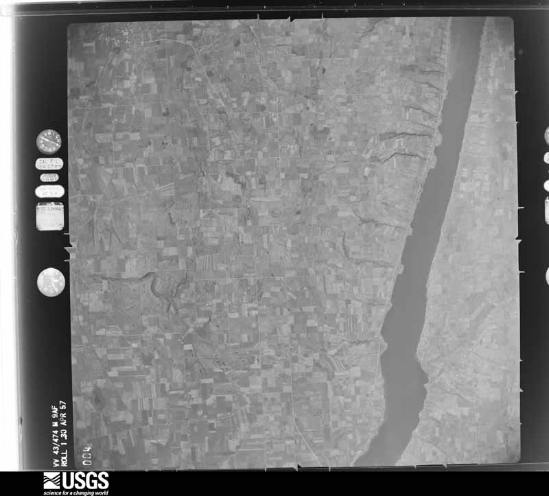
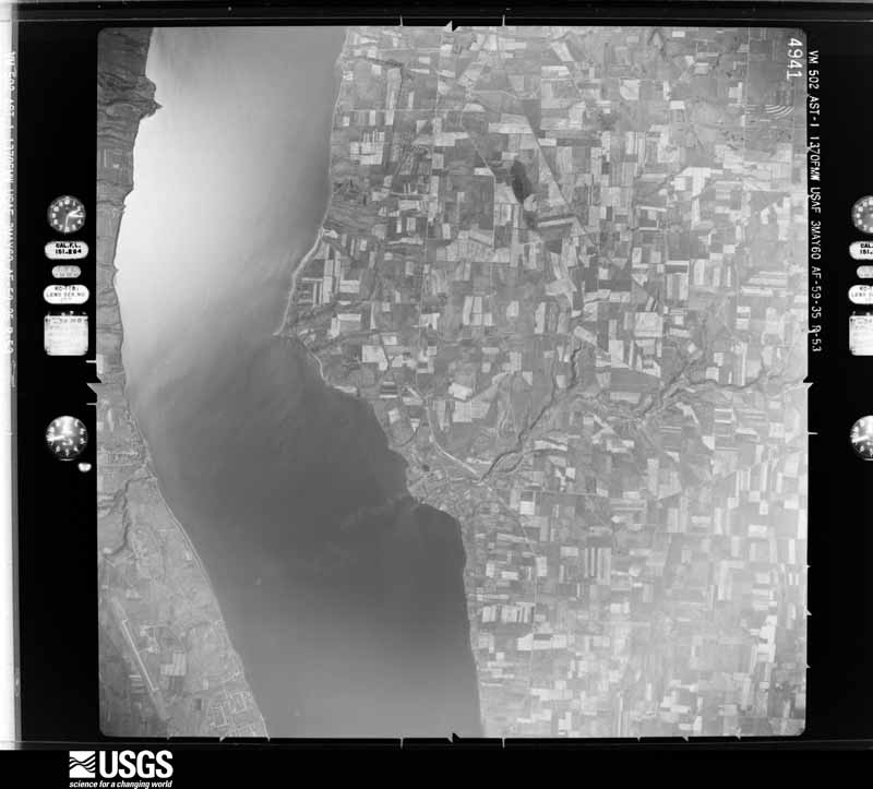
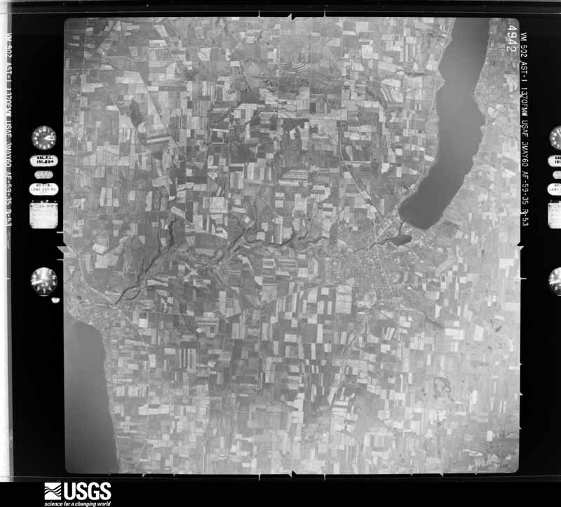
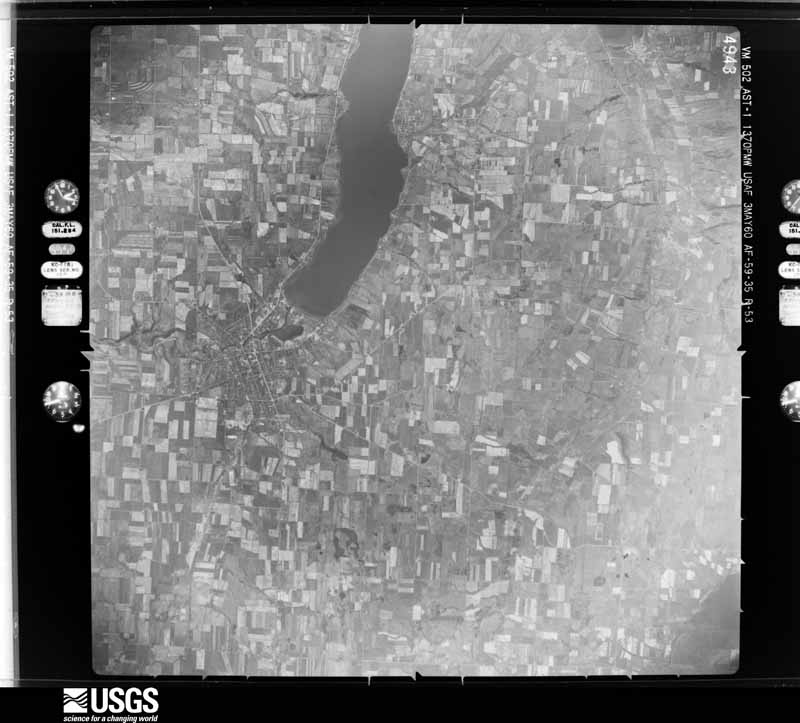
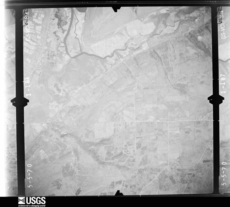
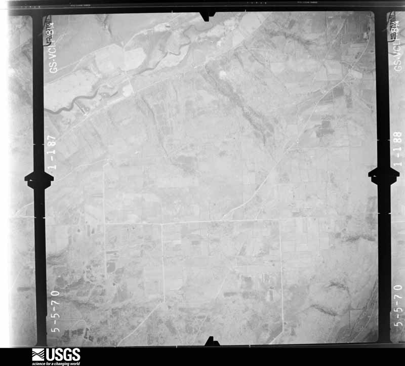
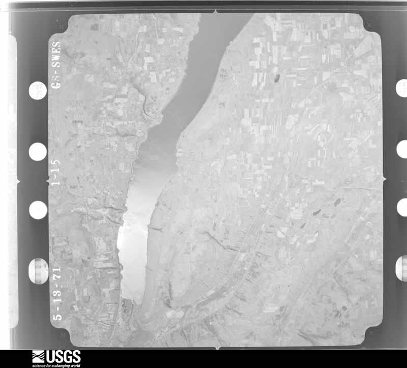
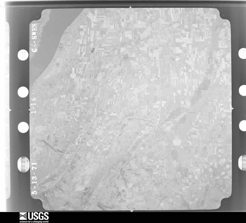
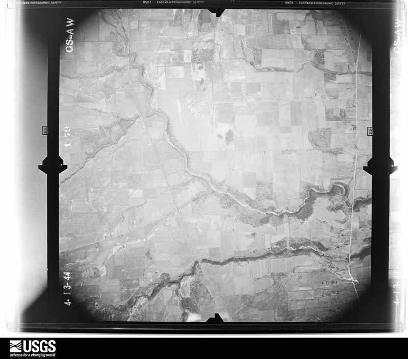
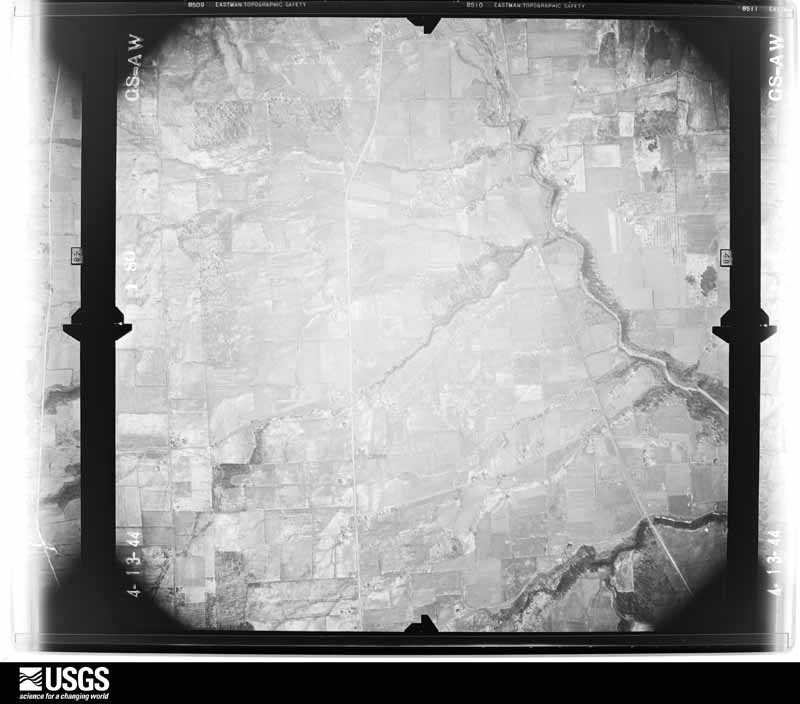
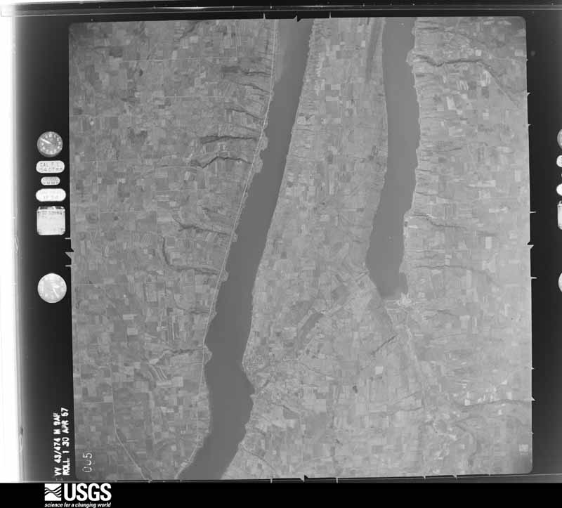
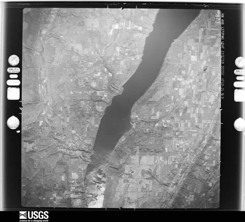
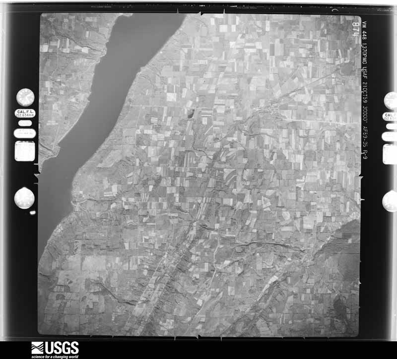
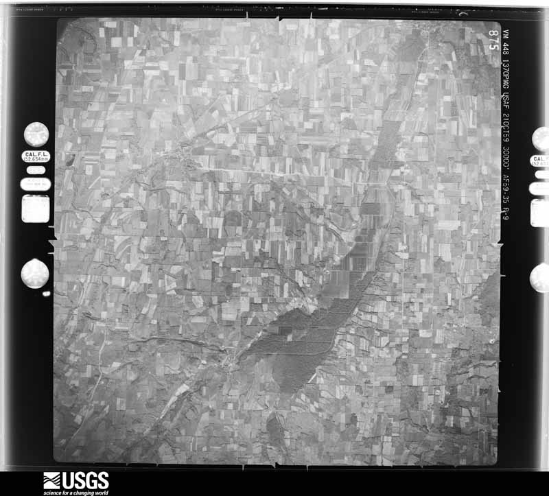
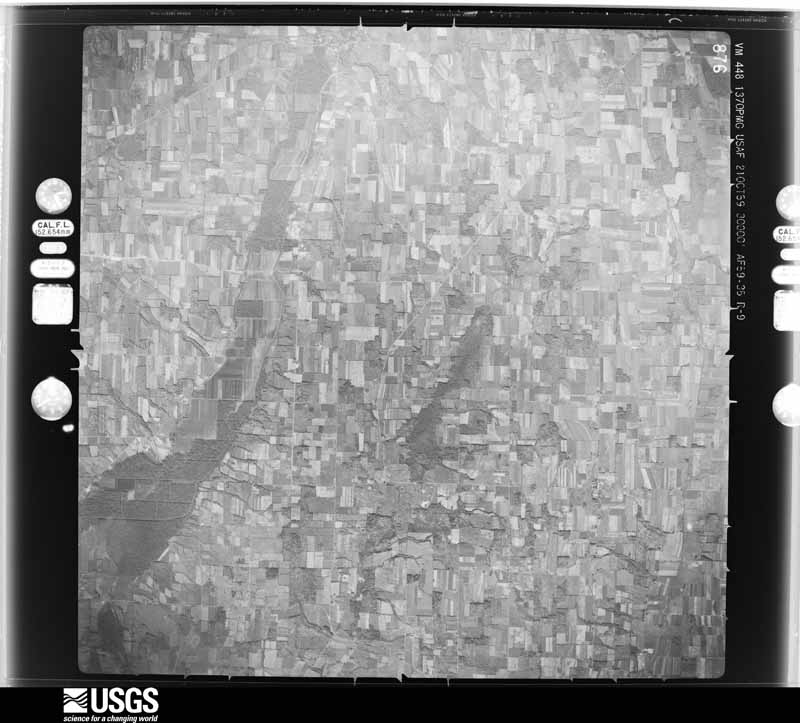
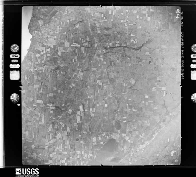
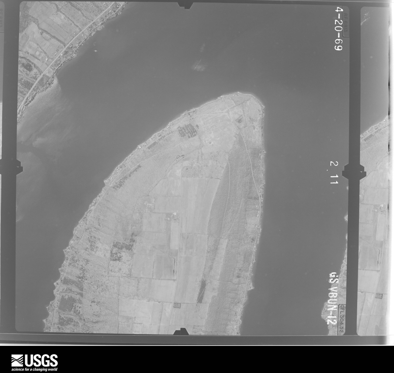
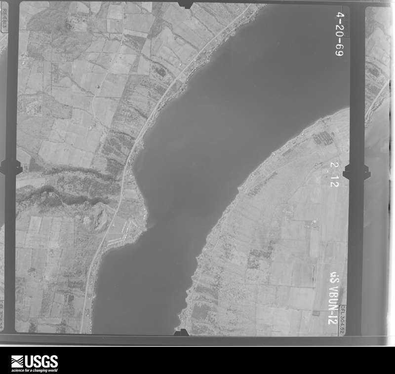
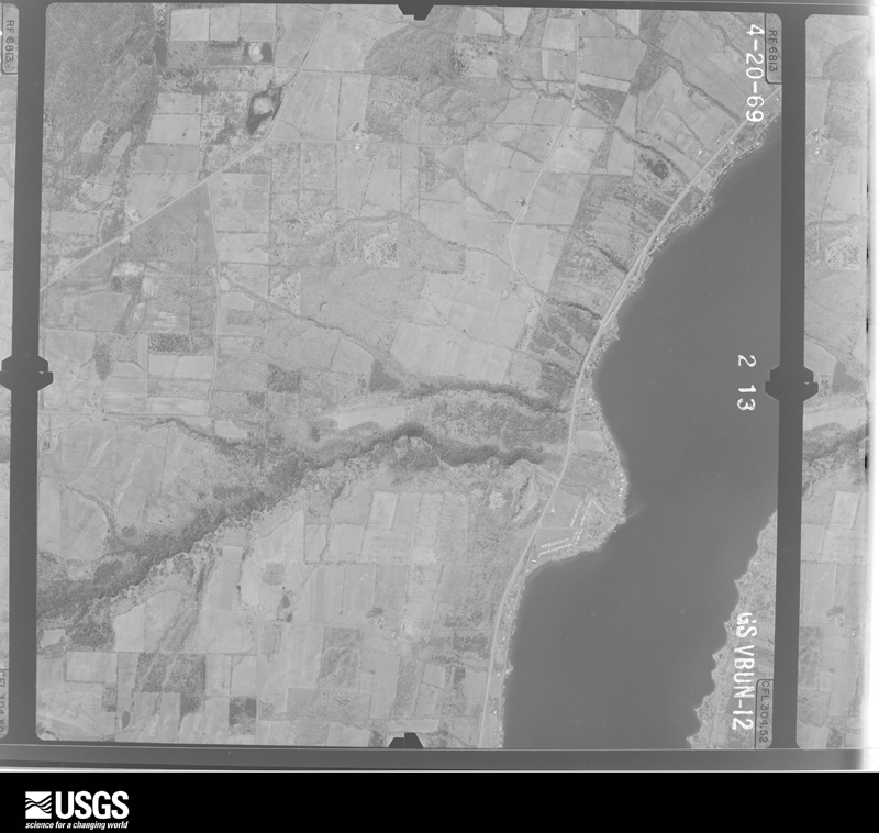
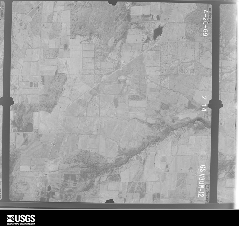
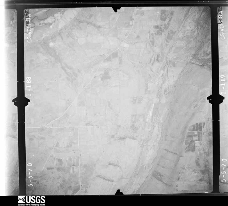
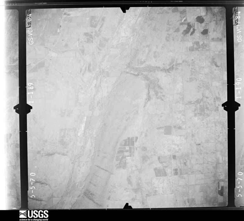
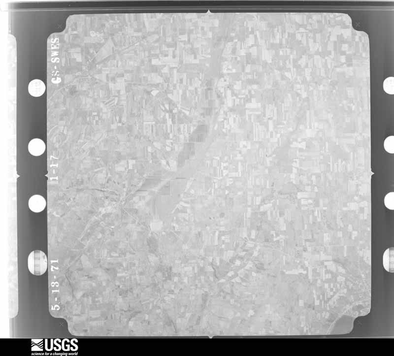
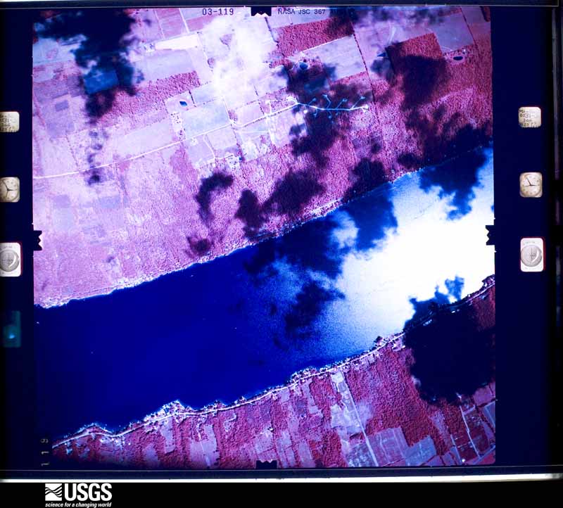
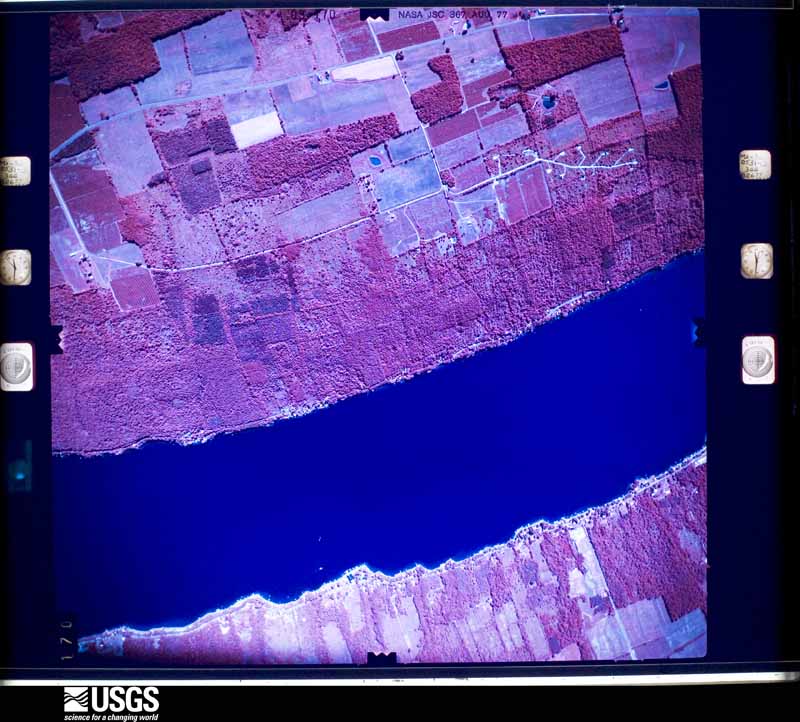
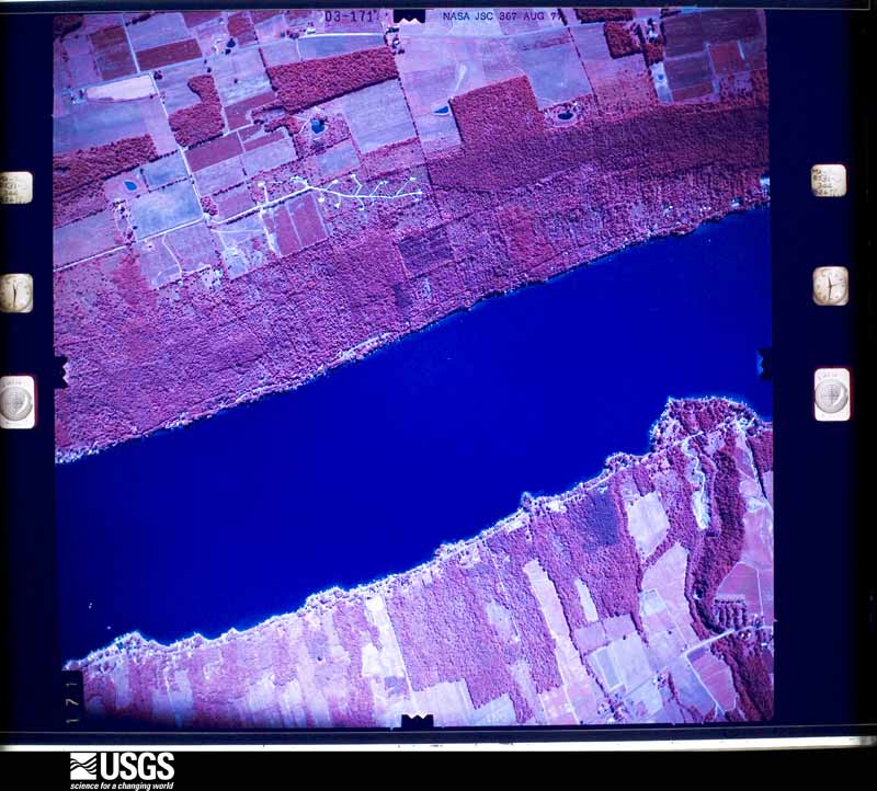
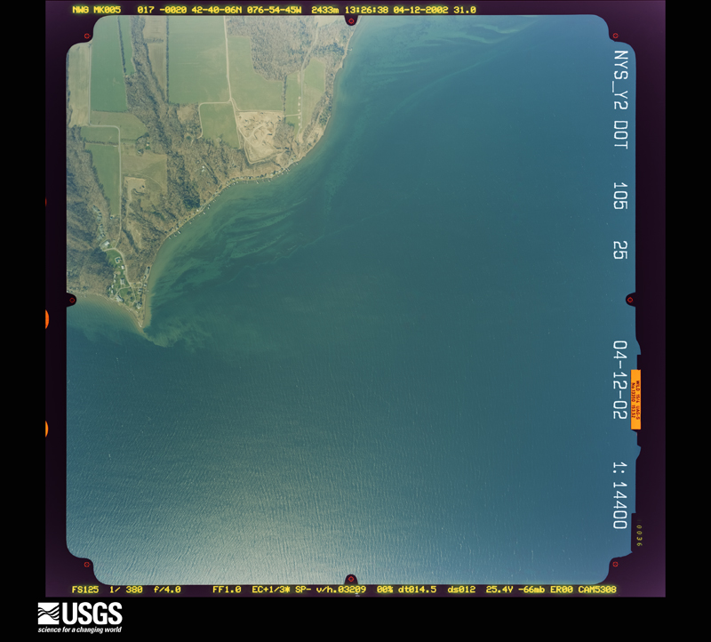
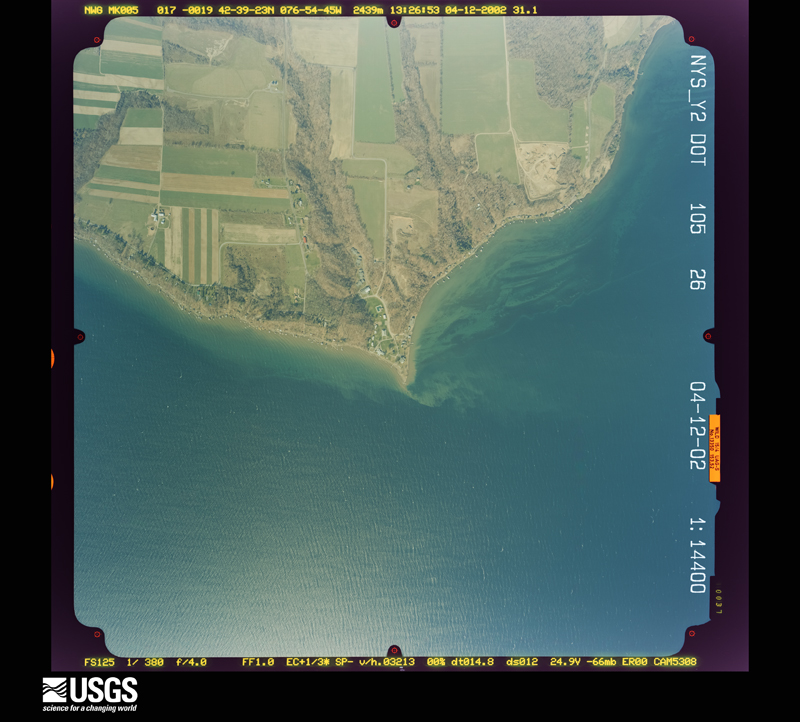
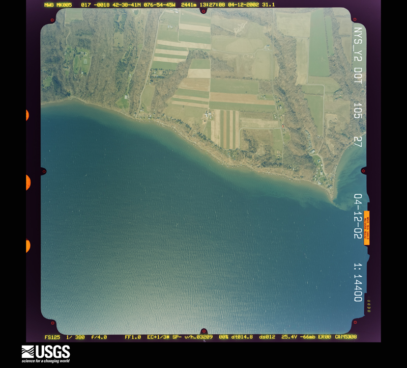
Flown by the U.S. Geological Survey between 1937 and 1989, the Aerial Photo Single Frames collection is the definitive mid-century view of the land: fields, roads and rivers as the camera saw them. The Survey holds 1,456 frames inside the rectangle that bounds this county; the 38 frames below were taken over the county itself, chosen across the decades of flights (at most four a year from that rectangle), so one flight cannot crowd out the rest. The full set is free to browse and download at EarthExplorer under the dataset Aerial Photo Single Frames.


The thermometers that kept this county's weather, and the gages that measured the flow of its streams, as the federal records hold them. The extremes below are measured values from those records, not estimates.
Who lived here in 1950, one enumeration district at a time, as the Census Bureau described each district. Each row opens its official National Archives result, with Population Schedules and ED Maps available there.
Every wildfire the federal occurrence database records inside this county: 363 of them, burning about 378 acres. 23 started naturally and 31 were recorded as arson. Each settlement page carries the fires within five miles of it.
| Reported cause | Fires |
|---|---|
| Missing data/not specified/undetermined | 188 |
| Debris and open burning | 68 |
| Arson/incendiarism | 31 |
| Natural | 23 |
| Smoking | 23 |
| Equipment and vehicle use | 18 |
| Recreation and ceremony | 5 |
| Power generation/transmission/distribution | 5 |
| Other causes | 1 |
| Misuse of fire by a minor | 1 |
The five largest, by the area the report gives. One of them was set deliberately.
| Date | Cause | Size | Reported by | Name on the report |
|---|---|---|---|---|
| 25 March 2009 | Smoking | 30 acres | New York Forest Rangers | WOODHILL FIRE |
| 16 March 1995 | Missing data/not specified/undetermined | 24 acres | New York Forest Rangers | not named |
| 20 May 1995 | Arson/incendiarism | 15 acres | New York Forest Rangers | not named |
| 7 April 1992 | Debris and open burning | 13 acres | New York Forest Rangers | not named |
| 7 April 2013 | Missing data/not specified/undetermined | 6.5 acres | New York Forest Rangers | STRYKER RD FIRE |
| 12 August 2020 | Natural | 5.0 acres | Fire Department of New York | NA |
| 21 April 2016 | Missing data/not specified/undetermined | 5.0 acres | Fire Department of New York | N/A |
| 17 April 2005 | Equipment and vehicle use | 5.0 acres | Fire Department of New York | not named |
Every settlement page carries the fires within five miles of it - see the settlement index below.
The NOAA Storm Events Database holds 216 reports for this county, causing no deaths, 9 injuries and about $28,454,500 in recorded property damage. Each settlement page carries the reports that name it.
| Kind of event | Reports |
|---|---|
| Thunderstorm Wind | 128 |
| Flash Flood | 43 |
| Hail | 37 |
| Tornado | 5 |
| Flood | 2 |
| Heavy Rain | 1 |
The most serious of them, by death, then injury, then recorded damage. The accounts are quoted exactly as the forecast office filed them.
| When | Event | Place named | Harm | What the report says |
|---|---|---|---|---|
| June 1992 | Thunderstorm Wind | not stated | 5 hurt | no account filed |
| May 2021 | Thunderstorm Wind | Penn Yan | 3 hurt, $15,000 | Strong thunderstorm winds knocked down a lumber building under construction, resulting in 3 injuries. |
| June 2005 | Thunderstorm Wind | Middlesex | 1 hurt, $50,000 | Thunderstorm winds downed numerous trees, wires, and utility poles. One tree fell on a house injuring a person inside. |
| January 1996 | Flash Flood | Countywide | $7,900,000 | no account filed |
| May 2014 | Flash Flood | Penn Yan Arpt | $7,000,000 | Catastrophic flash flooding was occurring in the downtown area of the Village of Penn Yan. Jacobs Brook became a raging torrent of water as it traveled into, and under the center of the village. The hardest hit areas were in the vicinity of Elm Street and Champlin Avenue where roads buckled, parking lots caved in, and the Owl's Nest Community Center collapsed. Tractor-trailer container boxes were seen floating down the streets, where they collided into the Wagner restaurant causing significant structural damage. Foundations of several homes were washed away during the flood. |
| June 1978 | Tornado (F1) | not stated | $2,500,000 | no account filed |
| July 1954 | Tornado (F1) | not stated | $2,500,000 | no account filed |
| May 2014 | Flash Flood | Penn Yan Arpt | $1,600,000 | Extensive flooding was occurring on Hamilton, Davis and Longdorf Roads in the Village of Penn Yan. |
| May 2014 | Flash Flood | Penn Yan Arpt | $1,600,000 | Several creeks were out of their banks, and water was washing over some roads in the area. |
| April 2011 | Flash Flood | Bellona | $800,000 | A total of seven towns and one village reported significant roadway damages. In most cases, the damages were related to either shoulder wash-outs or significant debris buildup on roadways. In one case, the road was fully washed out. several other roads had deep, newly formed pot holes/voids. In addition to roadway damage, there were several cases of mass wasting and sediment transport. In the Town of Middlesex, one home had soil and debris build-up as high as the door knob level. Another area along South Lake Road had the downward movement of an entire portion of a hillside with localized water damages to several homes. A voluntary evacuation was in place for the area along South Lake Road. Some of the harder hit areas included Barrington, Benton, Italy, Jerusalem, Middlesex, and Penn Yan. |
| June 2015 | Flash Flood | Italy | $650,000 | Water was flowing over numerous roads in the area. |
| June 2015 | Flash Flood | Guyanoga | $650,000 | Rushing water was flowing out of ditches and across driveways into nearby houses. |
| May 2014 | Flash Flood | Yatesville | $400,000 | Several locations along Guyanoga Road were flooded and impassable. |
| May 2014 | Flash Flood | Branchport | $400,000 | Several creeks were flowing out of their banks, and water was flowing over some roads in the area. |
| May 1998 | Thunderstorm Wind | Vine Vly | $150,000 | Severe thunderstorms formed rapidly across western portions of the county. Trees were blown down on top of cars and trailers in Vine Valley and Middlesex between 1:40 and 1:50 pm EDT. |
| August 2014 | Flash Flood | Branchport | $125,000 | Several roads had water flowing across them in the Branchport and Guyanoga areas. Some roads were washing out and impassable, forcing closures and detours in the region. |
| August 2014 | Flash Flood | Penn Yan | $100,000 | Several road washouts were reported in the Town of Jerusalem, particularly along and near Belknap Hill Road. |
| May 2014 | Flash Flood | Italy | $100,000 | Flooding was occurring across several parts of Italy Valley Road. |
| May 2014 | Flash Flood | Penn Yan | $100,000 | Water was rushing over State Route 14A. |
| July 2014 | Flash Flood | Rushville | $100,000 | Flooding occurred across several State highways with considerable damage to the road shoulders and culverts. Numerous basements were pumped out in the Village of Rushville. |
| August 2003 | Flash Flood | Dundee | $100,000 | Very heavy rainfall from slow-moving thunderstorms caused flash flooding of small streams leading to numerous road closures in southeast Yates County. Rainfall amounts were on the order of 3 to 4 inches in a 3 hour period. Several roads were undermined and damaged by the flood waters. At one point most roads in the village of Dundee, and the towns of Barrington and Starkey were either closed or impassable. |
| April 2005 | Flash Flood | Countywide | $100,000 | no account filed |
| August 2024 | Flash Flood | Italy | $75,000 | Roads and basements were flooded around Italy. |
| August 2024 | Flash Flood | Potter | $75,000 | Roads and basements were flooded around Potter. |
| June 1996 | Tornado (F1) | Middlesex | $75,000 | no account filed |
| April 2025 | Thunderstorm Wind | Himrod | $55,000 | Strong thunderstorms winds resulted in a swath of damage 1 to 3 miles north of Himrod. A roof was blown off in one piece from a farmhouse, the metal chute on the side of a silo had minor damage, numerous trees were knocked down and a set of power poles were broken. |
| April 2023 | Thunderstorm Wind | Milo Center | $50,000 | First location surveyed was a horse barn with the north side open and it looked like the building was perfectly exposed to the strong winds from the north-northwest to blow the building apart with debris spread to a 155 to 160 degree direction. Looking at post in the ground the mud was soft and waterlogged so it likely did not take as much force to destroy the building so a lower wind estimate was used at 80 mph. ||To the west along City Hill Road there were several medium to large pines that had |either been snapped or uprooted also in a 155 to 160 degree direction. Many of the uprooted trees had a shallow root ball and the hole left by the root ball in the ground was filled with water. To the north along Ridge Road, power poles were either tilting or snapped. The power poles were thinner and older so a lower wind estimate was used resulting in the 85 mph rating. ||Multiple pine trees were also snapped or uprooted at several homes along Ridge Road as well, falling in the 155 to 160 degree direction as well. One home had a chimney that toppled over. Talking to a couple home owners that were home at the time of the |microburst, the stories matched up with strong winds and heavy rain occurring at the same time resulting in white out conditions similar to a blizzard. The stories as well as all the damage and fallen trees leaning in the same direction away from the core of |the storm on radar at the time of the damage means that this was likely a microburst. The Penn Yan Mesonet station from the NYS mesonet system was on the very edge of the microburst and recorded a gust of 62 mph. |
| September 2017 | Flash Flood | Dresden | $50,000 | A seasonal cabin was destroyed by a torrent of water, rocks and mud debris sliding down a steep hillside on the western shore of Seneca Lake. |
| July 2015 | Flash Flood | Branchport | $50,000 | There were numerous reports of road flooding and closures in the Town of Jerusalem. |
| August 2014 | Flash Flood | Branchport | $50,000 | Numerous road washouts were reported in the area. |
| May 2014 | Flash Flood | Middlesex | $50,000 | The Acorn Valley Trailer Park was surrounded by water. |
| June 1994 | Thunderstorm Wind | Lakemont | $50,000 | no account filed |
| May 2014 | Flash Flood | Guyanoga | $45,000 | Waist deep water was moving through a residence on Champlin Road. Evacuations were in progress. |
| April 2025 | Thunderstorm Wind | Porter Corner | $40,000 | Strong thunderstorm winds knocked down multiple trees and wires in the area. There was heavy damage to town highway buildings. |
| September 2017 | Flash Flood | Dresden | $40,000 | A lakeside home was damaged by a torrent of water and debris sliding down a steep hillside on the western shore of Seneca Lake. A portion of the foundation was destroyed, and the lower floor of the residence was filled with mud and debris. |
| May 2014 | Flash Flood | Penn Yan | $40,000 | Water was rushing through a house on North Avenue in the Village of Penn Yan. |
| May 2014 | Flash Flood | Penn Yan | $40,000 | Flood waters were rushing into the Arc of Yates building on Shepard Ave. |
| May 2014 | Flash Flood | Branchport | $35,000 | A small stream was out of it's banks and flooding a building that was damaged by flooding earlier in the week. |
| May 2014 | Flash Flood | Yatesville | $30,000 | Water was reported rushing through a house on Adams Road. |
| May 2004 | Flash Flood | Italy | $30,000 | Heavy rain caused extensive flooding on roads. Water, mudslides and debris on roads. Numerous road closures. |
| September 2003 | Thunderstorm Wind | Penn Yan | $30,000 | Thunderstorm winds blew over a popup camper and several trees in the village of Penn Yan. The camper was turned upside down. |
| August 2021 | Flash Flood | Himrod | $25,000 | Numerous roads were flooded in the area. Some washouts were reported. |
| July 2015 | Flash Flood | Italy | $25,000 | Heavy rain and flooding caused the closure of County Route 245 from the county line to Flint Hill Road. |
| April 2025 | Thunderstorm Wind | Himrod | $21,000 | Strong thunderstorm winds blew off the roof of an unoccupied house. Wires were also down. |
| May 2018 | Tornado (EF1) | Potter | $20,000 | A tornado hit a barn on East Swamp road which collapsed. |The tornado then continued into several fields lifting debris |from the collapsed farm onto the fields. Along the path, |the tornado took down several trees which fell in different directions. |The tornado continued eastward to Voak road where it blew down a |fence and another tree before lifting. |
| May 2014 | Flash Flood | Penn Yan | $20,000 | Water was running rapidly over several streets in the village. Sandbagging operations were underway by the local Fire Department. |
| June 2011 | Thunderstorm Wind | Keuka Park | $20,000 | On Keuka Lake, 12-14 foot boats were moved about 100 feet, 20 boats were tipped over and a large tree was blown down. |
| June 2005 | Thunderstorm Wind | Crosby | $20,000 | Thunderstorm winds downed numerous trees and wires in the towns of Barrington and Starkey. |
| July 1999 | Thunderstorm Wind | Penn Yan | $20,000 | Numerous trees and powerlines downed. One tree fell on a house. |
| August 2021 | Flash Flood | Branchport | $15,000 | Numerous roads were flooded to the northwest of Branchport. Some washouts were reported with debris on the road. |
| June 2014 | Thunderstorm Wind | Keuka Park | $15,000 | Trees and lines were blown down in town and also the towns of Jerusalem and Milo. |
| May 1998 | Thunderstorm Wind | Penn Yan | $15,000 | A severe thunderstorm moved across the county during the early afternoon. Trees and wires were reported down in Penn Yan at 2:05 pm EDT. Numerous other trees and wires were blown down between 2:05 and 2:20 pm EDT. |
| August 2021 | Flash Flood | Milo Mills | $10,000 | Several roads were flooded around Milo Center. Some washouts were reported. |
| May 2020 | Thunderstorm Wind | Bluff Pt | $10,000 | Strong thunderstorm winds brought down multiple trees. |
| May 2020 | Thunderstorm Wind | Milo Mills | $10,000 | Strong thunderstorm winds brought down multiple trees throughout the town of Milo. |
| July 2020 | Thunderstorm Wind | Friend | $10,000 | Strong thunderstorm winds brought down trees and wires near Friend Road and Comstock Road. |
| July 2020 | Thunderstorm Wind | Bellona | $10,000 | Strong thunderstorm winds brought down several trees and damaged two boats. |
| July 2020 | Thunderstorm Wind | Benton | $10,000 | Strong thunderstorm winds brought down trees and wires. |
| June 2020 | Thunderstorm Wind | Dresden | $10,000 | Strong thunderstorm winds brought down several trees. |
| August 2019 | Thunderstorm Wind | Middlesex | $10,000 | Strong thunderstorm winds brought down trees and wires. |
The Survey's mineral resources record lists 32 workings inside this county. 15 still produce and 17 are closed or unrecorded. Each settlement page carries the workings within five miles of it.
| Commodity | Workings |
|---|---|
| Sand and Gravel, Construction | 25 |
| Salt | 4 |
| Zirconium | 2 |
| Halite | 1 |
| REE | 1 |
The least common of them first, because a county's hundredth gravel pit says nothing its first ten did not.
| Where | Site | Commodity | Status | Recorded |
|---|---|---|---|---|
| Seneca Lake Mine | Halite | Past Producer | Halite | |
| Transelco/ Penn Yan, N.Y. | REE, Zirconium | Plant | ||
| Transelco/ Dresden, N.Y. | Zirconium | Plant | ||
| C.M.Russell Well | Salt | Past Producer | ||
| J.Sanderson No.1 Well | Salt | Past Producer | ||
| J.T.Andrews No.1 Well | Salt | Past Producer | ||
| Seneca Lake Mine | Salt | Past Producer | ||
| Benton Pit | Sand and Gravel, Construction | Past Producer | Sedimentary | |
| Benton Pit | Sand and Gravel, Construction | Producer | ||
| Botsford Pit | Sand and Gravel, Construction | Past Producer | Sedimentary | |
| Botsford Pit | Sand and Gravel, Construction | Producer | ||
| Botsford Pit | Sand and Gravel, Construction | Producer | ||
| Botsford Pit | Sand and Gravel, Construction | Past Producer | ||
| Champlin Pit | Sand and Gravel, Construction | Past Producer | Sedimentary | |
| Champlin Pit | Sand and Gravel, Construction | Past Producer | ||
| Claude Pulver Pit | Sand and Gravel, Construction | Producer | ||
| Guyanoga Pit | Sand and Gravel, Construction | Past Producer | Sedimentary | |
| Guyanoga Pit | Sand and Gravel, Construction | Producer | ||
| Hansen Pit | Sand and Gravel, Construction | Producer | ||
| Hays Pit | Sand and Gravel, Construction | Producer | ||
| Heys Pit | Sand and Gravel, Construction | Past Producer | Sedimentary | |
| Heys Pit | Sand and Gravel, Construction | Producer | ||
| Holly Pit | Sand and Gravel, Construction | Past Producer | Sedimentary | |
| Holly Pit | Sand and Gravel, Construction | Past Producer | Sedimentary | |
| Holly Pit | Sand and Gravel, Construction | Producer | ||
| Jerusalem Pit | Sand and Gravel, Construction | Past Producer | Sedimentary | |
| Jerusalem Pit | Sand and Gravel, Construction | Producer | ||
| Milo Gravel Pit | Sand and Gravel, Construction | Unknown | ||
| Nicolo Pit | Sand and Gravel, Construction | Producer | ||
| Potter Pit | Sand and Gravel, Construction | Past Producer | Sedimentary | |
| Potter Pit | Sand and Gravel, Construction | Producer | ||
| Roberts Pit | Sand and Gravel, Construction | Producer |
Named settlements recorded in the Geographic Names Information System, each with the topographic sheets covering it. Villages, hamlets and abandoned places alike. Each is shown with the nearest named watercourse or landform and the survey quadrangle it falls on.
Jerusalem town · 14418 · Near Guyanoga Valley · Pulteney quadrangle
21 sheets, 1903 to 1983
Barrington town · 14837 · Near Barrington Hill · Wayne quadrangle
21 sheets, 1903 to 1986
Middlesex town · 14544 · Near Corey Gully · Middlesex quadrangle
25 sheets, 1900 to 1983
Starkey town · 14878 · On Rock Stream · Reading Center quadrangle
30 sheets, 1898 to 1992
Middlesex town · 14544 · Near Corey Gully · Middlesex quadrangle
25 sheets, 1900 to 1983