 Block
BlockAlbany, New York
32 topographic sheets cover this place, the earliest surveyed in 1893 and the latest in 1994. It stands in Albany City. It lies in ZIP code area 12207. It lies near Westerlo Island. The Survey maps it on the Albany quadrangle. 99,224 people lived here at the 2020 count. It stands 141 feet above sea level.
Research this city
Then and now
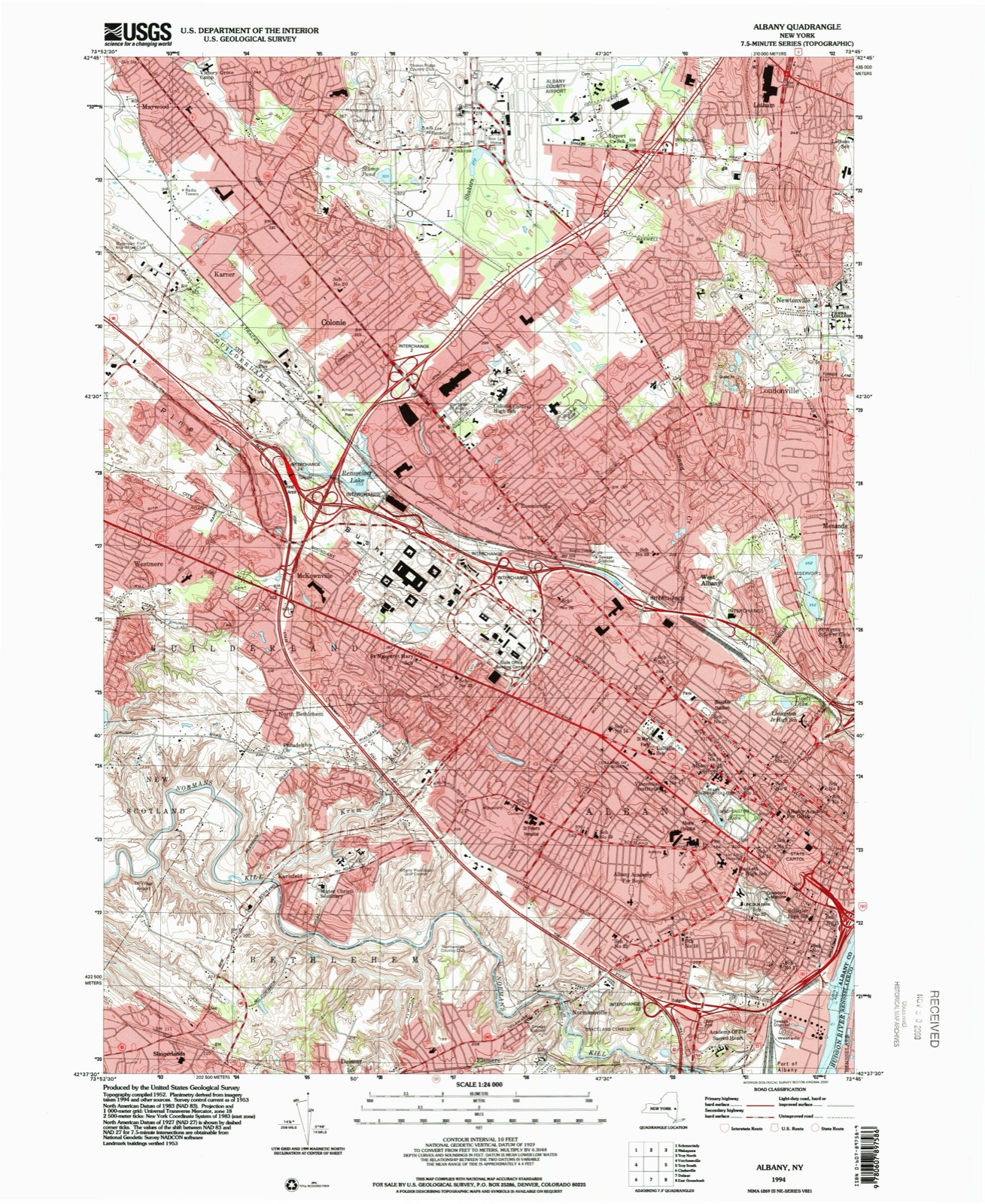
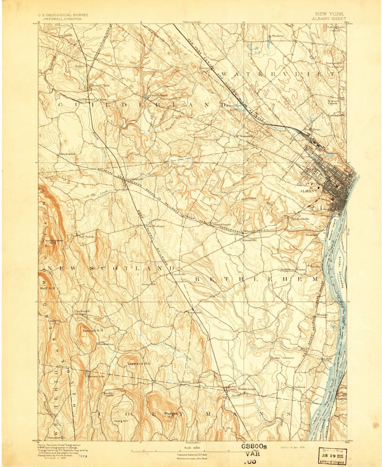
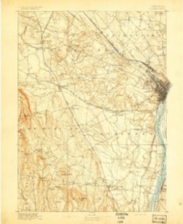
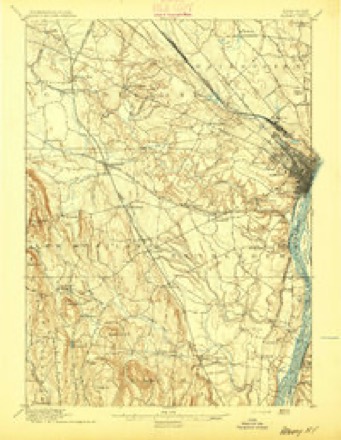
1893 to 1994The same ground, surveyed 101 years apart. Drag the handle to wipe between them. Both sheets are United States Geological Survey originals; neither has been altered.
Compare 1893 against another survey:
On record in Albany
Buildings and businesses the archive holds for this place. Each opens its own page, with the source record it came from.
On the National Register 12 of 77 shown
 Fort Orange Archeological SiteNational Historic Landmark · listed 1993
 Hall, James, OfficeNational Historic Landmark · listed 1976
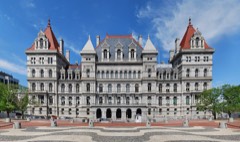 New York State CapitolNational Historic Landmark · listed 1971
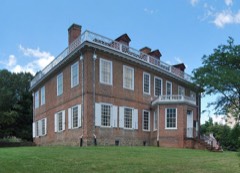 Philip Schuyler MansionNational Historic Landmark · listed 1967
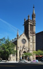 St. Peter's ChurchNational Historic Landmark · listed 1972
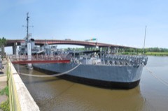 USS Slater (Destroyer Escort)National Historic Landmark · listed 1998
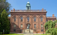 Albany Academylisted 1971
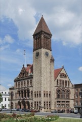 Albany City Halllisted 1972
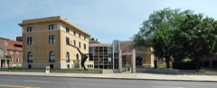 Albany Institute of History and Artlisted 1976
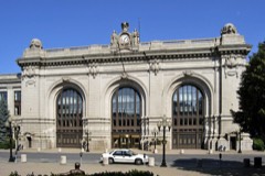 Albany Union Stationlisted 1971
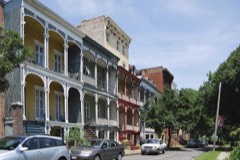 Arbor Hill Historic District-Ten Broeck Trianglelisted 1979
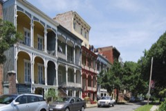 Arbor Hill Historic District-Ten Broeck Triangle (Boundary Increase)listed 1984
Population over time
2 figuresAlbany grew from 97,856 to 99,224 between 2010 and 2020. These are the recorded population figures Wikidata holds for this place, reached through the Geographic Names Information System number this page is keyed on rather than by name, so they belong to this place and not to another of the same name. Most are census counts, but not all are: an early figure may be a founding or settlement estimate, and an estimate published within five years of a census is left out. The change column is computed, and is left blank where more than 20 years separate a figure from the one before it, because a gap that long is not a change between two counts.
| Year | People | Change |
|---|---|---|
| 2010 | 97,856 | |
| 2020 | 99,224 | +1,368 (+1%) |
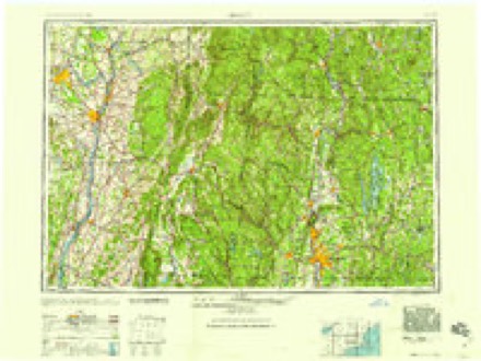
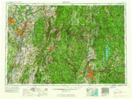
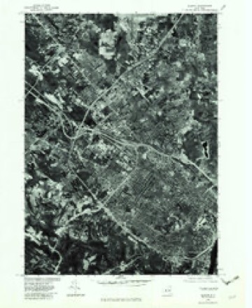
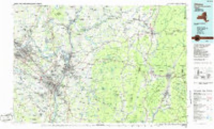
Topographic sheets covering this place
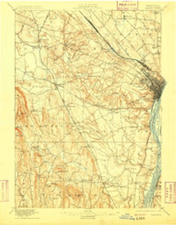
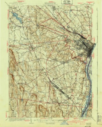
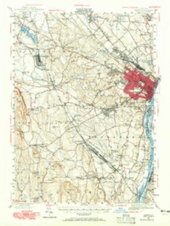
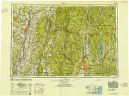
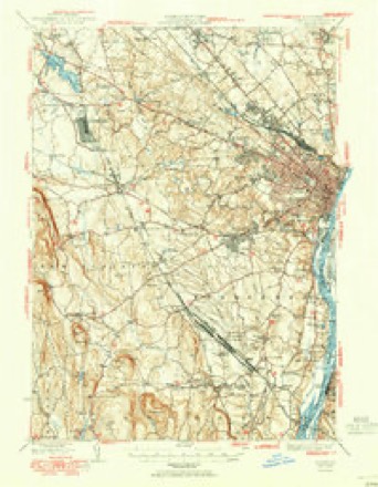
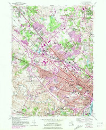
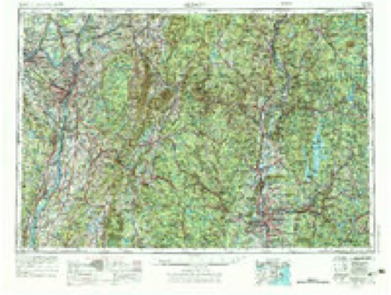
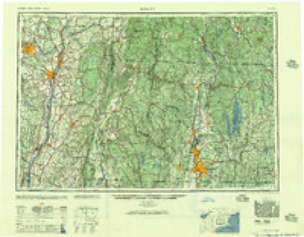
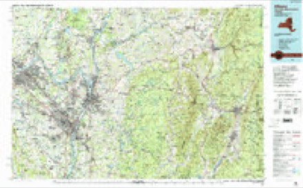
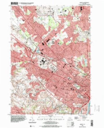
16 surveys from 32 printed sheetsMatched by testing this settlement's coordinate against the published boundary of every sheet in the United States Geological Survey's historical collection. Each opens the scanned sheet at the Survey.
- 1893 USGS Albany quadrangle1:62500, 2 printings
- 1895 USGS Albany quadrangle1:62500
- 1898 USGS Albany quadrangle1:62500, 8 printings
- 1927 USGS Albany quadrangle1:62500, 5 printings
- 1947 USGS Albany quadrangle1:62500
- 1948 USGS Albany quadrangle1:250000
- 1950 USGS Albany quadrangle1:62500
- 1953 USGS Albany quadrangle1:24000, 3 printings
- 1956 USGS Albany quadrangle1:250000, 2 printings
- 1957 USGS Albany quadrangle1:250000
- 1959 USGS Albany quadrangle1:250000
- 1962 USGS Albany quadrangle1:250000
- 1978 USGS Albany quadrangle1:24000
- 1986 USGS Albany quadrangle1:100000
- 1989 USGS Albany quadrangle1:100000, 2 printings
- 1994 USGS Albany quadrangle1:24000
Fires near this place
1,211 since 1993Regional context, not property-specific evidence. The federal wildfire occurrence database lists 1,211 fires within 5 miles of Albany between 1993 and 2020, burning about 932 acres in total. 53 started naturally. 209 were recorded as arson. Distance is straight-line from the map coordinates, so a fire counted here may appear on a neighbouring settlement's page as well.
| Reported cause | Fires |
|---|---|
| Missing data/not specified/undetermined | 748 |
| Arson/incendiarism | 209 |
| Debris and open burning | 66 |
| Natural | 53 |
| Smoking | 52 |
| Equipment and vehicle use | 36 |
| Railroad operations and maintenance | 20 |
| Power generation/transmission/distribution | 11 |
| Misuse of fire by a minor | 10 |
| Recreation and ceremony | 6 |
The most recent of them, most recent first, with the day each was reported and the service that recorded it.
| Date | Cause | Size | Reported by | Name on the report |
|---|---|---|---|---|
| 9 September 2020 | Missing data/not specified/undetermined | 1.2 acres | Fire Department of New York | NA |
| 9 September 2015 | Missing data/not specified/undetermined | under an acre | Fire Department of New York | NA |
| 9 September 2006 | Debris and open burning | under an acre | Fire Department of New York | not named |
| 9 September 2002 | Arson/incendiarism | under an acre | Fire Department of New York | not named |
| 9 September 2002 | Missing data/not specified/undetermined | under an acre | Fire Department of New York | not named |
| 8 September 2016 | Arson/incendiarism | 6.3 acres | Fire Department of New York | N/A |
| 8 September 2005 | Missing data/not specified/undetermined | under an acre | Fire Department of New York | not named |
| 8 September 2003 | Arson/incendiarism | under an acre | Fire Department of New York | not named |
Settlements close enough to share some of these fires:
Specimens collected near this place
12 of 4,524 shownRegional context, not property-specific evidence. Museums hold 4,524 specimens collected within 10 miles of Albany between 1760 and 1975: 2,512 Animalia, 1,315 Fungi, 642 Plantae, 33 Unrecorded, 16 Chromista, 4 Protozoa, 2 Bacteria. 12 distinct Species records are shown. Collected by A C. Frederick, A C. Frederick, A C. Frederick, A. Clapp and others. Each is a physical object with a catalogue number, and each entry opens the museum's record. This is what was collected and kept, not a survey of what lives here - nothing can be concluded from a species being absent.
| Image | Species | Year | Collected by | Where, as recorded |
|---|---|---|---|---|
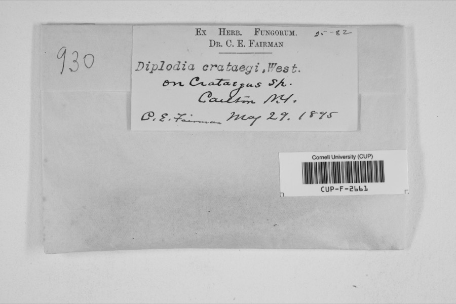 | Diplodia crataegi Fuckel | 1895 | Charles E. Fairman | |
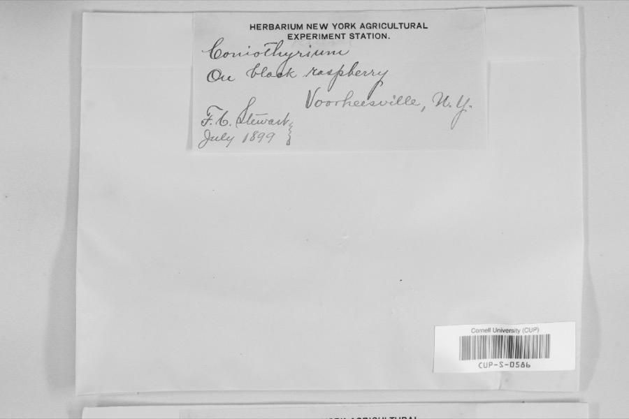 | Coniothyrium Corda, 1840 | 1899 | not recorded | |
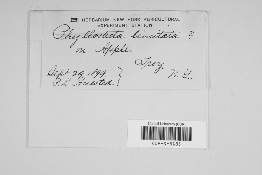 | Phyllosticta limitata Peck | 1899 | P.L. Huested | |
 | Hemaris thysbe Fabricius, 1775 | 1760 | W.W. Hill | |
 | Monotropa procera Torr. | 1817 | E. James | Near Albany |
| Fontinalis duriaei Schimp. | 1825 | H. H. Eaton | ||
| Geastrum hygrometricum Pers. | 1827 | H. H. Eaton | Troy | |
 | Acalypha rhomboidea Raf. | 1828 | J. Hall | Troy |
 | Alnus serrulata (Aiton) Willd. | 1828 | J. Hall | Troy |
 | Apocynum androsaemifolium L. | 1828 | J. Hall | Troy |
 | Apocynum cannabinum L. | 1828 | J. Hall | Troy |
 | Asclepias amplexicaulis Sm. | 1828 | J. Hall | Troy |
All 4,524 specimens within 10 miles, at the Global Biodiversity Information Facility.
Mines and quarries near this place
9 within 5 milesRegional context, not property-specific evidence. The federal mineral resources record lists 9 workings within 5 miles of Albany: 4 producers, 4 past producers, 1 occurrence. 4 still produce. What was taken out: Clay, Sand and Gravel, Construction, Quartz. Distance is straight-line from the map coordinates, so a quarry counted here may appear on a neighbouring settlement's page as well.
| Where | Site | Commodity | Status | Recorded |
|---|---|---|---|---|
| Crystal Hill Deposit | Quartz | Occurrence | ||
| Albany Gravel Plant | Sand and Gravel, Construction | Producer | ||
| Valente Gravel Pit | Sand and Gravel, Construction | Past Producer | ||
| Albany Clay Pit | Clay | Producer | ||
| Albany Clay Pit | Clay | Past Producer | ||
| East Greenbush Clay Pit | Clay | Producer | ||
| East Greenbush Clay Pit | Clay | Past Producer | ||
| Rensselaer Clay Pit | Clay | Past Producer | ||
| Rensselear Clay Pit | Clay | Producer |
Storms near this place
60 of 114 shownRegional context, not property-specific evidence. The National Weather Service names Albany in 114 storm reports between 1994 and 2025: 60 thunderstorm wind, 18 hail, 17 flash flood, 10 flood. The reports record 14 injuries. Each account below is quoted exactly as the forecast office filed it, from the NOAA Storm Events Database, and each date opens the federal record of that event.
| When | Event | Place named | Harm | What the report says |
|---|---|---|---|---|
| August 2002 | Thunderstorm Wind | Albany | 9 hurt, $10,000 | no account filed |
| August 2000 | Lightning | Albany | 5 hurt | no account filed |
| August 2008 | Flash Flood | Albany | $250,000 | Heavy rainfall led to significant urban flooding in downtown Albany late Thursday afternoon. One to four inches of rainfall occurred within two hours across a small portion of downtown. This overwhelmed the storm drainage system within the city, flooding several streets. Hackett Boulevard and Northern Boulevard had water deep enough to submerge vehicles, with several cars swept away outside of the Hackett Dale apartments. In addition, water burst through a manhole on South Pearl Street near Arch Street, shooting water at least two stories high. Flooding also closed Holland Avenue, and water at least 8 inches deep was pouring over the curb on Broadway, near the State Department of Environmental Conservation building.||Numerous basements were also flooded within the city of Albany, as well as in portions of Guilderland, Delmar and Bethlehem. |
| July 2007 | Lightning | Albany | $200,000 | A house fire on Cuyler Avenue in Albany was initiated by a lightning strike, which is believed to have hit an electrical panel on the outside of the house. Once hit, an electrical surge and subsequent fire spread from the basement through the rest of the house. The house sustained severe damage, and partially collapsed.||Two firefighters suffered minor injuries while trying to extinguish the blaze. |
| June 2024 | Thunderstorm Wind | Albany | $172,000 | A National Weather Service storm survey concluded straight line wind damage occurred in the city of Albany on June 20, 2024. The majority of the damage occurred in the Washington Park area where numerous branches fell along with some uprooted, hardwood trees. All of the trees and branches fell in an easterly direction which is consistent with straight line winds. Isolated structural damage was also noted in the Ten Broeck Triangle neighborhood and near the intersection of Broadway and Thatcher Street. Maximum wind speeds were estimated to be around 75 mph. The path of damage was 1.55 miles long and 590 yards wide. |
| July 1995 | Thunderstorm Wind | Albany | $100,000 | no account filed |
| August 1994 | Thunderstorm Wind | Albany | $50,000 | no account filed |
| July 2001 | Thunderstorm Wind | Albany | $40,000 | no account filed |
| June 2008 | Lightning | West Albany | $25,000 | Lightning is believed to have struck a pole, following the wires into a house on Russell Road in West Albany, igniting a fire within a wall. The fire was extinguished within 15 minutes, but caused damage to a wall. |
| July 2007 | Flash Flood | Albany | $25,000 | Heavy rain from repeated clusters of thunderstorms produced localized flash flooding in the city of Albany, and in portions of Colonie, Guilderland, and Delmar. Rapid rises in water led to several stranded vehicles and water rescues, along with subsequent road closures.||Some of the roads that were closed included Sand Creek Road in Colonie between Everett and Osborne Roads, Lincoln Avenue and North Allen Street in Albany, Colonial Avenue near Western Avenue in Albany, Kenwood Avenue in Delmar, and Western Avenue near Stuyvesant Plaza in Albany. |
| August 1995 | Thunderstorm Wind | Albany | $20,000 | no account filed |
| June 2021 | Flood | Albany | $10,000 | Basement flooding was reported in some buildings along Grand Street in Albany. |
| July 2007 | Lightning | Albany | $10,000 | The Park Playhouse at Albany's Washington Park sustained significant damage from a lightning strike, which occurred around 18:30 EST. Estimated damages were around $10,000. |
| April 1996 | Thunderstorm Wind | Albany | $8,000 | no account filed |
| June 1996 | Lightning | Albany | $6,000 | no account filed |
| July 1995 | Thunderstorm Wind | Albany | $5,000 | An isolated severe thunderstorm over the City of Albany downed power lines across parts of the city, leaving 300 customers without power. |
| July 1997 | Thunderstorm Wind | Albany | $2,000 | no account filed |
| August 1995 | Thunderstorm Wind | Albany | $2,000 | no account filed |
| June 2025 | Flash Flood | Albany | $1,000 | A 911 call center operator reported the closure of Academy Road due to flooding. |
| December 2023 | Flood | Albany | $1,000 | South Pearl Street at Old South Pearl Street was closed due to flooding. |
| December 2023 | Flood | Albany | $1,000 | Hackett Boulevard at St. James Place was closed due to flooding. |
| December 2023 | Flood | Albany | $1,000 | Erie Boulevard at North Ferry Street was closed due to flooding. |
| August 2020 | Flash Flood | Albany | $1,000 | There were multiple reports of stranded vehicles and flooded roadways. |
| August 2018 | Flash Flood | Albany | $1,000 | Photo of a car submerged in flooding. |
| August 2018 | Flash Flood | Albany | $1,000 | A trained spotter reported flooding in a field and building due to heavy rainfall. |
| July 2004 | Lightning | Albany | $1,000 | House struck by lightning on South Pine Avenue. Fire department and police called to scene. |
| April 1996 | Hail | Albany | $1,000 | no account filed |
| June 2024 | Thunderstorm Wind | Albany | - | A large tree fell onto utility lines across Bertha Street between Delaware Avenue and Second Avenue in the City of Albany. |
| June 2024 | Thunderstorm Wind | Albany | - | Large tree limbs were downed on South Main Avenue between Myrtle Avenue and Park Avenue. |
| July 2023 | Thunderstorm Wind | Albany | - | Multiple trees and wires were downed across the City of Albany including on North Lake Avenue and 3rd Avenue. A few small trees and tree limbs were also reported down near Washington Park and the intersection of Madison Avenue and New Scotland Avenue. |
| May 2022 | Flash Flood | Albany | - | Street flooding and possible road closures were reported within the vicinity of Daytona Ave, Western Ave, and South Manning Blvd in the City of Albany. |
| May 2022 | Thunderstorm Wind | Albany | - | A tree was reported down on Park Place Ave. |
| May 2022 | Thunderstorm Wind | Albany | - | Law enforcement reported large tree limbs and wires down. |
| June 2021 | Flood | Albany | - | An estimated 6 to 12 inches of standing water covered the road at the corner of Sheridan Avenue and Chapel Street, including the 110 North Pearl Street parking lot, in Downtown Albany. |
| June 2021 | Flood | Albany | - | Standing water was reported along portions of Henry Johnson Boulevard. |
| June 2021 | Flood | Albany | - | Flooding was reported at Quackenbush Square in Albany. |
| September 2021 | Thunderstorm Wind | West Albany | - | A large tree limb was reported down. |
| May 2020 | Thunderstorm Wind | West Albany | - | Wind ripped siding off a garage on Osborne Road. |
| July 2020 | Thunderstorm Wind | Albany | - | A large tree branch was snapped, leaning on a building on Ver Planck Street. |
| October 2020 | Thunderstorm Wind | Albany | - | Trees and wires were downed. |
| August 2019 | Thunderstorm Wind | Albany | - | A tree was downed on Water Street near Columbia Street in downtown Albany. |
| August 2019 | Thunderstorm Wind | Albany | - | Large tree branches downed on Myrtle Ave. |
| August 2019 | Thunderstorm Wind | Albany | - | A power transformer blew which knocked power lines down. The power lines caught on fire on the ground and burned the WTEN studio sign. |
| August 2019 | Thunderstorm Wind | Albany | - | A very large tree branch was broken off and hanging from a tree. Time estimated by radar. |
| August 2019 | Thunderstorm Wind | Albany | - | A National Weather Service storm survey team confirmed microbursts along the path of an intense thunderstorm that cross from Albany, NY to North Greenbush, NY. The team identified three areas in New York where microbursts occurred; the Pine Hills neighborhood of Albany, Menands and North Greenbush. The team observed several trees and large limbs down in the microburst areas. Some of these trees fell on homes and cars. ||The microburst areas define the location of intense damage. For the most part, the microburst locations were within 1 mile by 0.5 mile rectangle. The wind speeds were derived from the degree of damage seen. |
| August 2019 | Thunderstorm Wind | Albany | - | Multiple trees and wires down. Some trees fell onto cars and homes. |
| August 2019 | Thunderstorm Wind | Albany | - | Large tree was uprooted and crushed a car. |
| August 2019 | Thunderstorm Wind | Albany | - | Trees were snapped with damage to multiple houses and cars. |
| July 2018 | Thunderstorm Wind | Albany | - | Trees were downed on Fairview Avenue. |
| July 2018 | Thunderstorm Wind | Albany | - | Several large trees uprooted in the Melrose neighborhood. One tree fell on a house and resulted in significant roof damage. |
| July 2018 | Thunderstorm Wind | Albany | - | Several large limbs were down and trees were uprooted in the Buckingham Pond neighborhood. |
| July 2018 | Thunderstorm Wind | Albany | - | Several large limbs were downed and trees were uprooted in the Pine Hills neighborhood. |
| July 2018 | Thunderstorm Wind | Albany | - | Two large trees were downed in Washington Park. |
| May 2018 | Thunderstorm Wind | Albany | - | Eleven reports of trees and wires down in the city of Albany. |
| August 2018 | Flash Flood | Albany | - | Flooding occurred at the intersection of Cortland St and Colonial Ave with water entering vehicles. |
| August 2018 | Thunderstorm Wind | Albany | - | A tree was knocked down onto a house. |
| August 2018 | Flash Flood | Albany | - | Medical Transport vehicle is stuck in water on Hackett Blvd. The road is closed. |
| August 2018 | Heavy Rain | Albany | - | Heavy rain of 2.13 inches fell in a short period of time. |
| August 2018 | Heavy Rain | Albany | - | Strong storm resulted in 2.37 inches of rainfall. |
| March 2017 | Thunderstorm Wind | West Albany | - | A tree was reported down at the intersection of Lorna Lane and Nicolla Avenue in Colonie due to thunderstorm winds. |
Nearest settlements
The eight closest, with where each one stands in the county. Distances are straight-line, computed from the Geographic Names Information System coordinates.
| Map | Place | Distance | Sheets |
|---|---|---|---|
| Yarbrough Homes | 0.6 miles | 32 | |
| Lincoln Park Homes | 0.7 miles | 32 | |
| Kenwood | 2.2 miles | 33 | |
| Loudon Heights | 2.3 miles | 32 | |
| West Albany | 2.4 miles | 32 | |
| Normansville | 2.5 miles | 32 | |
| Menands | 3.2 miles | 32 | |
| Glenmont | 3.4 miles | 33 |
Elsewhere
Matched on this settlement's Geographic Names Information System number rather than its name, so it cannot be a different place of the same name in another state.
| Wikipedia article on Albany | An encyclopaedic summary. Its text is share-alike, so it is linked here rather than copied. |
| Wikidata item Q24861 | The structured record the population and elevation above come from. Public domain (CC0). |
Provenance
This settlement is recorded in the Geographic Names Information System as feature 977310. The sheet list is computed by point-in-boundary test against the United States Geological Survey's historical topographic inventory. Both are works of the United States government and carry no copyright under 17 U.S.C. 105.
Wildfire. Short, Karen C. 2022. Spatial wildfire occurrence data for the United States, 1992-2020 [FPA_FOD_20221014]. 6th Edition. Fort Collins, CO: Forest Service Research Data Archive. https://doi.org/10.2737/RDS-2013-0009.6 Collected with United States Government funding and usable without additional permissions or fees.
Specimens. Global Biodiversity Information Facility (GBIF), https://www.gbif.org/. Only records licensed CC0 or CC BY are used. Records licensed CC BY-NC are excluded because this site carries advertising. Images are checked individually and any whose licence is non-commercial, no-derivatives or unreadable is refused.
Mines and quarries. USGS Mineral Resources Data System (MRDS) https://mrdata.usgs.gov/mrds/ A work of the United States government, no copyright under 17 U.S.C. 105.
Storms. NOAA National Centers for Environmental Information, Storm Events Database https://www.ncei.noaa.gov/stormevents/ A work of the United States government, no copyright under 17 U.S.C. 105. Narratives are quoted verbatim from the National Weather Service report and are not edited or summarised.