 Block
BlockLake George, New York
29 topographic sheets cover this place, the earliest surveyed in 1895 and the latest in 1989. It stands in Lake George town. It lies in ZIP code area 12845. It stands on English Brook. The Survey maps it on the Lake George quadrangle.
Then and now
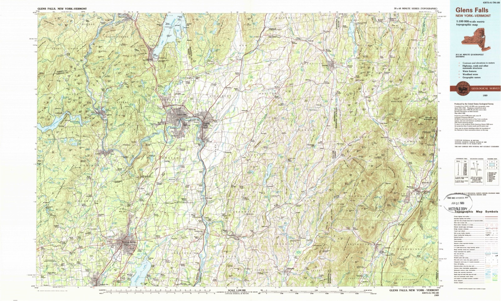
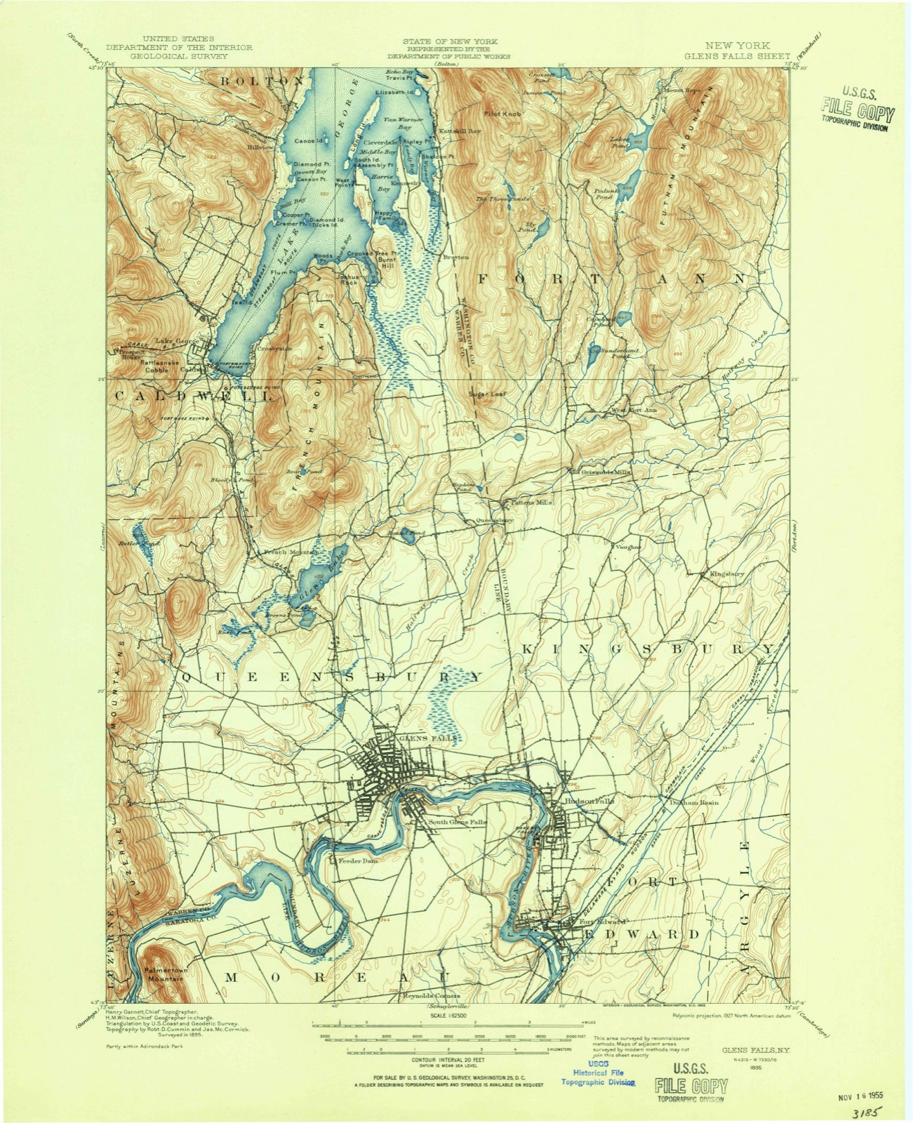
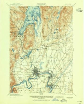
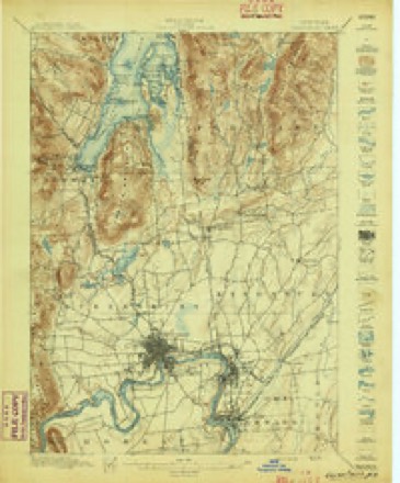
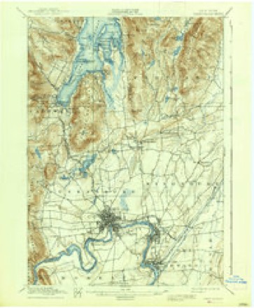
1895 to 1989The same ground, surveyed 94 years apart. Drag the handle to wipe between them. Both sheets are United States Geological Survey originals; neither has been altered.
On record in Lake George
Buildings and businesses the archive holds for this place. Each opens its own page, with the source record it came from.
On the National Register 11 records
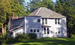 Owl's NestNational Historic Landmark · listed 1971
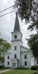 Caldwell Presbyterian Churchlisted 2016
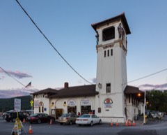 Delaware and Hudson Passenger Stationlisted 2013
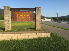 Lake George Battlefield Park Historic Districtlisted 2011
 MOHICAN II (steamboat)listed 2010
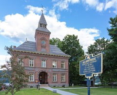 Old Warren County Courthouse Complexlisted 1973
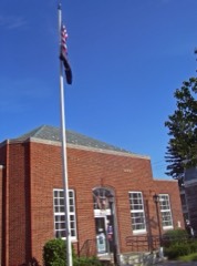 US Post Office-Lake Georgelisted 1989
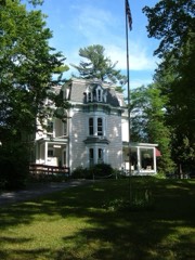 Wiawaka Holiday Houselisted 1998
- FORWARD shipwreck site (motor launch)listed 2008
- Royal C. Peabody Estatelisted 1984
- St. James Episcopal Churchlisted 2013
Topographic sheets covering this place
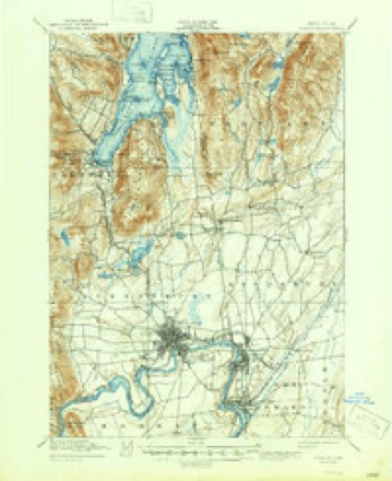
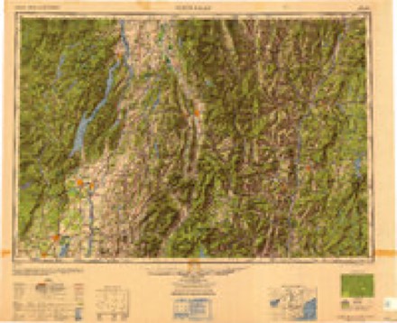
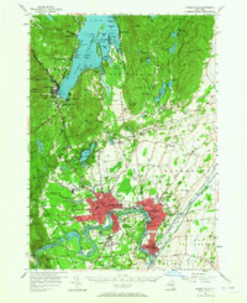
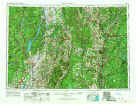
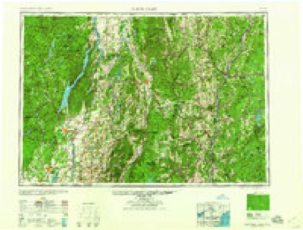
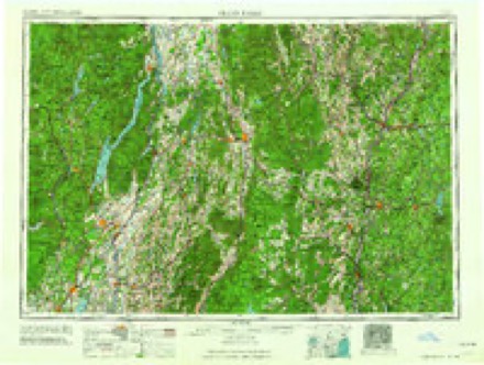
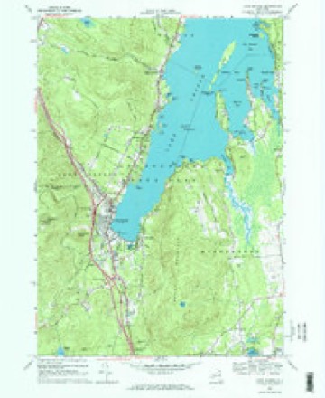
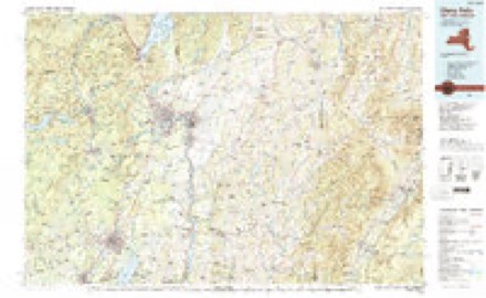
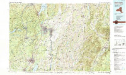
12 surveys from 29 printed sheetsMatched by testing this settlement's coordinate against the published boundary of every sheet in the United States Geological Survey's historical collection. Each opens the scanned sheet at the Survey.
- 1895 USGS Glens Falls quadrangle1:62500
- 1897 USGS Glens Falls quadrangle1:62500, 9 printings
- 1938 USGS Glens Falls quadrangle1:62500
- 1947 USGS Glens Falls quadrangle1:62500
- 1950 USGS Glens Falls quadrangle1:250000
- 1955 USGS Glens Falls quadrangle1:62500, 4 printings
- 1956 USGS Glens Falls quadrangle1:250000, 3 printings
- 1959 USGS Glens Falls quadrangle1:250000, 2 printings
- 1964 USGS Glens Falls quadrangle1:250000
- 1966 USGS Lake George quadrangle1:24000, 3 printings
- 1986 USGS Glens Falls quadrangle1:100000, 2 printings
- 1989 USGS Glens Falls quadrangle1:100000
Fires near this place
224 since 1992Regional context, not property-specific evidence. The federal wildfire occurrence database lists 224 fires within 5 miles of Lake George between 1992 and 2020, burning about 360 acres in total. 19 started naturally. 25 were recorded as arson. Distance is straight-line from the map coordinates, so a fire counted here may appear on a neighbouring settlement's page as well.
| Reported cause | Fires |
|---|---|
| Missing data/not specified/undetermined | 89 |
| Arson/incendiarism | 25 |
| Smoking | 22 |
| Debris and open burning | 20 |
| Recreation and ceremony | 19 |
| Natural | 19 |
| Equipment and vehicle use | 14 |
| Power generation/transmission/distribution | 12 |
| Misuse of fire by a minor | 4 |
The most recent of them, most recent first, with the day each was reported and the service that recorded it.
| Date | Cause | Size | Reported by | Name on the report |
|---|---|---|---|---|
| 7 September 2001 | Missing data/not specified/undetermined | under an acre | Fire Department of New York | not named |
| 6 September 2015 | Smoking | 1.9 acres | Fire Department of New York | N/A |
| 28 September 2017 | Smoking | under an acre | Fire Department of New York | N/A |
| 26 September 2015 | Recreation and ceremony | under an acre | Fire Department of New York | PROSPECT MOUNTAIN |
| 24 September 2014 | Recreation and ceremony | 2.0 acres | New York Forest Rangers | FRENCH MOUNTAIN #1 |
| 24 September 2013 | Missing data/not specified/undetermined | 1.2 acres | Fire Department of New York | N/A |
| 2 September 2002 | Missing data/not specified/undetermined | under an acre | Fire Department of New York | not named |
| 17 September 1993 | Recreation and ceremony | 1.0 acres | New York Forest Rangers | not named |
Settlements close enough to share some of these fires:
Mines and quarries near this place
2 within 5 milesRegional context, not property-specific evidence. The federal mineral resources record lists 2 workings within 5 miles of Lake George: 2 producers. All of them still produce. What was taken out: Sand and Gravel, Construction. Distance is straight-line from the map coordinates, so a quarry counted here may appear on a neighbouring settlement's page as well.
| Where | Site | Commodity | Status | Recorded |
|---|---|---|---|---|
| Mallorys Pit | Sand and Gravel, Construction | Producer | ||
| Ridge Road No. 1 | Sand and Gravel, Construction | Producer |
Storms near this place
26 since 1994Regional context, not property-specific evidence. The National Weather Service names Lake George in 26 storm reports between 1994 and 2023: 18 thunderstorm wind, 3 flood, 2 lightning, 2 hail. The reports record 2 deaths and 18 injuries. Each account below is quoted exactly as the forecast office filed it, from the NOAA Storm Events Database, and each date opens the federal record of that event.
| When | Event | Place named | Harm | What the report says |
|---|---|---|---|---|
| June 1998 | Lightning | Lake George | 1 killed, 3 hurt | no account filed |
| July 1999 | Thunderstorm Wind | Lake George | 1 killed, $7,000 | no account filed |
| August 2016 | Lightning | Lake George | 15 hurt | Fifteen people were injured at the Lake George Battlefield Park due to a lightning strike and needed to be hospitalized. The people were located under a large tree which was struck by lightning during a thunderstorm. |
| February 2022 | Flood | Lake George | $50,000 | The Howard Johnson by Wyndham Lake George hotel parking lot on Canada Street was flooded early Friday morning. The Lake George Volunteer Fire Department rescued a man who was trapped on top of his pickup truck in the flooded parking lot. Lake George Fire Chief said the flooding was a result of water runoff from Prospect Mountain that flows into the drainage portion of the parking lot which wasn't able to keep up with the amount of water coming in. There was about 8 feet of water in the parking lot. The rooms on the ground level of the hotel also flooded with water. |
| August 2001 | Thunderstorm Wind | Lake George | $18,000 | no account filed |
| July 1999 | Thunderstorm Wind | Lake George | $15,000 | no account filed |
| July 1994 | Thunderstorm Wind | Lake George | $5,000 | Severe thunderstorms moved across parts of eastern New York ahead of a low pressure system which was moving into the area during the afternoon hours of July 30th. Thunderstorm winds downed trees and powerlines with Washington and Herkimer Counties being hardest hit. In Colonie torrential rains resulted in an urban flood as storm drains backed up. |
| June 1994 | Thunderstorm Wind | Lake George | $5,000 | A low pressure system moved northeast from the Ohio Valley on the morning of June 27th resulting in severe thunderstorms across parts of eastern New York. Thunderstorm winds downed trees and powerlines with Vestal in Broome County and Fort Edward in Washington County being the areas hardest hit. In Vestal well over 100 trees were downed by thunderstorm winds and in Fort Edward a tree fell crushing a parked car. |
| August 2002 | Thunderstorm Wind | Lake George | $5,000 | no account filed |
| July 2023 | Flood | Lake George | - | Standing water was reported along Beach Road in Lake George Village. |
| July 2023 | Thunderstorm Wind | Lake George | - | A tree was reported on wires with the transformer on fire. |
| July 2022 | Thunderstorm Wind | Lake George | - | Trees and wires were reported down on Lake Shore Drive. |
| September 2021 | Thunderstorm Wind | Lake George | - | A trained weather spotter reported numerous trees snapped and uprooted along Exit 22 north of 9N. |
| September 2021 | Thunderstorm Wind | Lake George | - | Trees were reported down near Exit 22 and Route 9N on the Northway. |
| July 2019 | Thunderstorm Wind | Lake George | - | Trees were downed, resulting in power outages in the village. |
| May 2018 | Thunderstorm Wind | Lake George | - | Route 9L was closed between Bay and Beach Roads due to downed trees and wires. |
| June 2014 | Thunderstorm Wind | Lake George | - | Trees were reported down on Route 9 in Lake George as a result of thunderstorm winds. |
| May 2012 | Hail | Lake George | - | Golf ball size hail was reported during a thunderstorm in Lake George Village. |
| May 2012 | Hail | Lake George | - | Half-dollar size hail was reported during a thunderstorm in Lake George Village via Facebook. |
| August 2012 | Thunderstorm Wind | Lake George | - | Trees limbs were reported down and on power lines in the Village of Lake George. |
| August 2011 | Flood | Lake George | - | Route 9 in Lake George was closed due to flooding at Flatrock Road. |
| July 2011 | Thunderstorm Wind | Lake George | - | Trees were reported down in Lake George due to strong thunderstorm winds. |
| September 2010 | Thunderstorm Wind | Lake George | - | A tree was reported down blocking Lake Shore Drive in Lake George due to strong thunderstorm winds. |
| July 2007 | Thunderstorm Wind | Lake George | - | Numerous trees and wires were reported down in several parts of Warren County. The hardest hit area was near the shores of Lake George. |
| June 2005 | Flash Flood | Lake George | - | Numerous roads were flooded. |
| June 2005 | Thunderstorm Wind | Lake George | - | Large tree branches were blown down near the Great Escape Amusement Park. |
Nearest settlements
The eight closest, with where each one stands in the county. Distances are straight-line, computed from the Geographic Names Information System coordinates.
| Map | Place | Distance | Sheets |
|---|---|---|---|
| Crosbyside | 1.0 miles | 29 | |
| Big Hollow | 2.4 miles | 24 | |
| Diamond Point | 3.9 miles | 29 | |
| French Mountain | 4.0 miles | 27 | |
| Brayton | 4.9 miles | 29 | |
| Cleverdale | 5.1 miles | 29 | |
| Rockhurst | 5.2 miles | 29 | |
| Lake Sunnyside | 5.4 miles | 27 |
Provenance
This settlement is recorded in the Geographic Names Information System as feature 954913. The sheet list is computed by point-in-boundary test against the United States Geological Survey's historical topographic inventory. Both are works of the United States government and carry no copyright under 17 U.S.C. 105.
Wildfire. Short, Karen C. 2022. Spatial wildfire occurrence data for the United States, 1992-2020 [FPA_FOD_20221014]. 6th Edition. Fort Collins, CO: Forest Service Research Data Archive. https://doi.org/10.2737/RDS-2013-0009.6 Collected with United States Government funding and usable without additional permissions or fees.
Mines and quarries. USGS Mineral Resources Data System (MRDS) https://mrdata.usgs.gov/mrds/ A work of the United States government, no copyright under 17 U.S.C. 105.
Storms. NOAA National Centers for Environmental Information, Storm Events Database https://www.ncei.noaa.gov/stormevents/ A work of the United States government, no copyright under 17 U.S.C. 105. Narratives are quoted verbatim from the National Weather Service report and are not edited or summarised.