 Block
BlockOsceola, New York
19 topographic sheets cover this place, the earliest surveyed in 1906 and the latest in 1985. It stands in Osceola town. It lies in ZIP code area 13316. It stands on Fall Brook. The Survey maps it on the Florence quadrangle.
Then and now
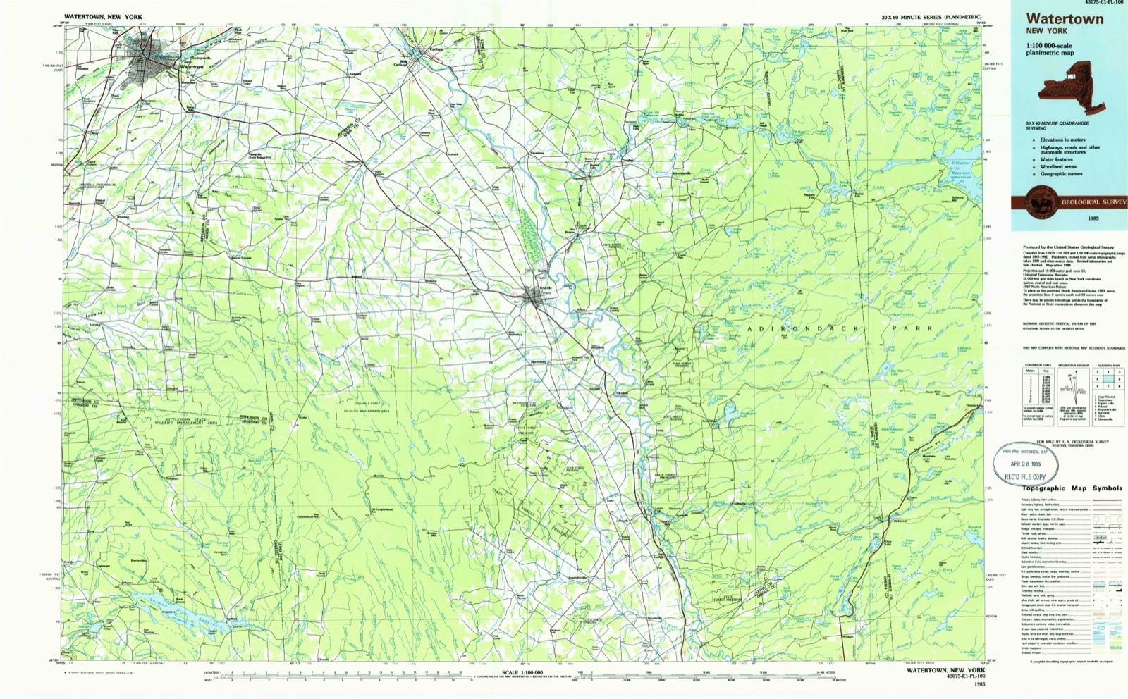
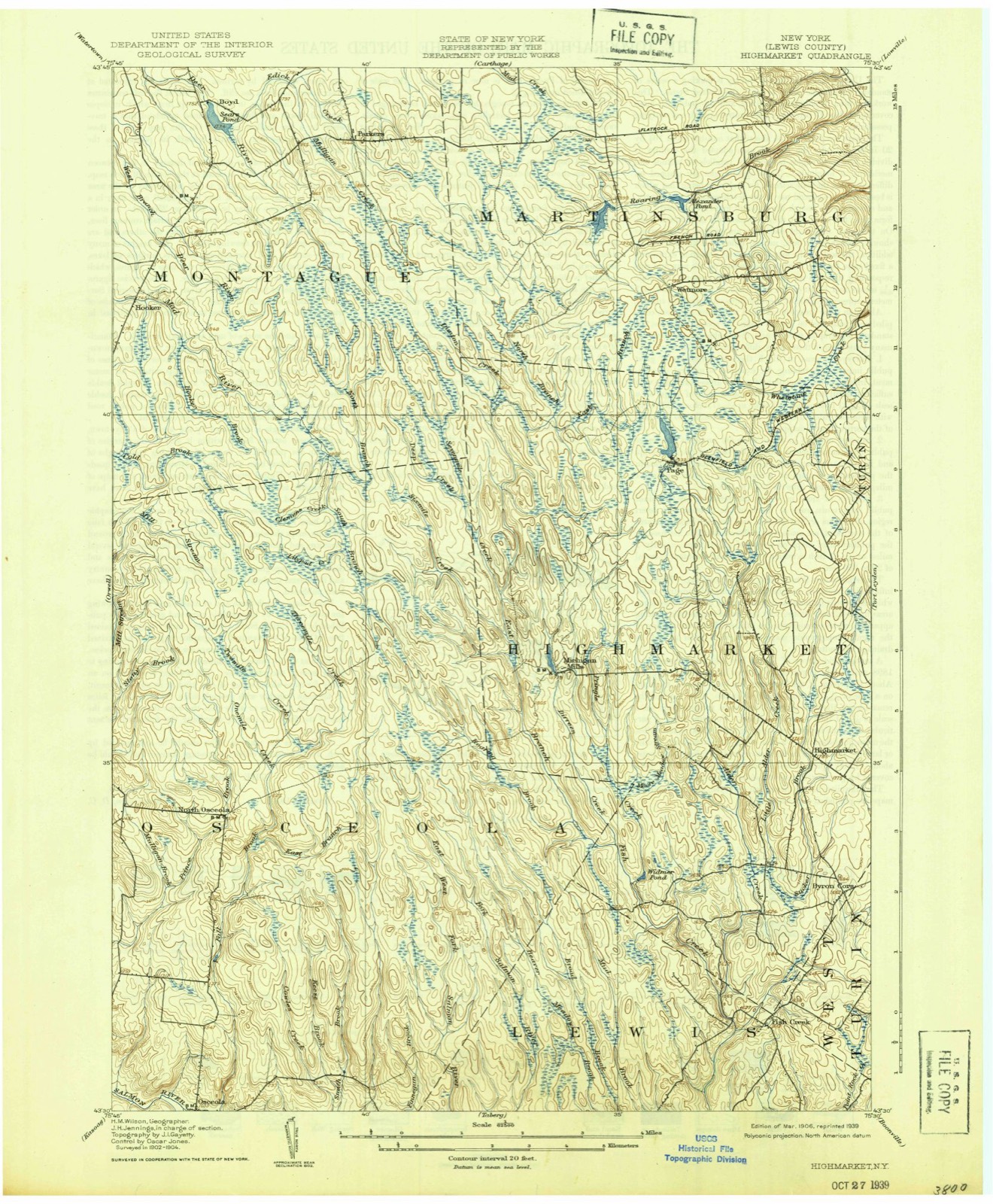
1906 to 1985The same ground, surveyed 79 years apart. Drag the handle to wipe between them. Both sheets are United States Geological Survey originals; neither has been altered.
On record in Osceola
Buildings and businesses the archive holds for this place. Each opens its own page, with the source record it came from.
On the National Register 1 record
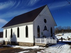 Osceola Town Halllisted 2005
Topographic sheets covering this place
9 surveys from 19 printed sheetsMatched by testing this settlement's coordinate against the published boundary of every sheet in the United States Geological Survey's historical collection. Each opens the scanned sheet at the Survey.
- 1906 USGS Highmarket quadrangle1:62500, 6 printings
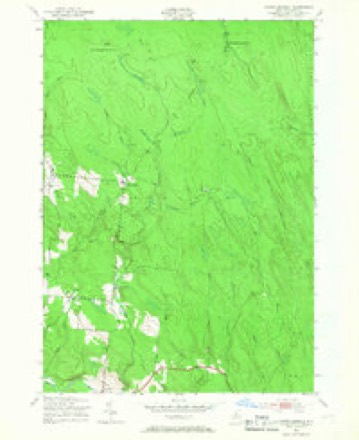
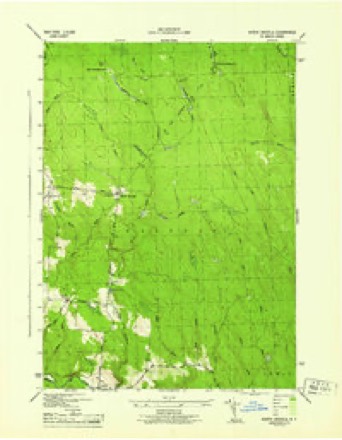
- 1943 USGS North Osceola quadrangle1:24000, 3 printings
- 1944 USGS North Osceola quadrangle1:31680
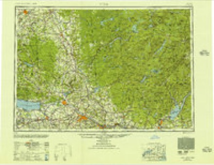
- 1950 USGS Utica quadrangle1:250000
- 1957 USGS Utica quadrangle1:250000
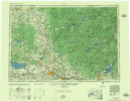
- 1962 USGS Utica quadrangle1:250000, 3 printings
- 1964 USGS Utica quadrangle1:250000
- 1967 USGS Utica quadrangle1:250000
- 1985 USGS Watertown quadrangle1:100000, 2 printings
Fires near this place
18 since 2003Regional context, not property-specific evidence. The federal wildfire occurrence database lists 18 fires within 5 miles of Osceola between 2003 and 2018, burning about 8 acres in total. 2 started naturally. 3 were recorded as arson. Distance is straight-line from the map coordinates, so a fire counted here may appear on a neighbouring settlement's page as well.
| Reported cause | Fires |
|---|---|
| Missing data/not specified/undetermined | 7 |
| Smoking | 4 |
| Arson/incendiarism | 3 |
| Natural | 2 |
| Equipment and vehicle use | 1 |
| Debris and open burning | 1 |
The most recent of them, most recent first, with the day each was reported and the service that recorded it.
| Date | Cause | Size | Reported by | Name on the report |
|---|---|---|---|---|
| 6 September 2005 | Arson/incendiarism | under an acre | Fire Department of New York | not named |
| 11 August 2007 | Smoking | under an acre | Fire Department of New York | not named |
| 13 July 2018 | Arson/incendiarism | under an acre | Fire Department of New York | N/A |
| 5 June 2005 | Missing data/not specified/undetermined | under an acre | Fire Department of New York | not named |
| 11 May 2006 | Missing data/not specified/undetermined | under an acre | Fire Department of New York | not named |
| 1 May 2004 | Missing data/not specified/undetermined | 1.5 acres | Fire Department of New York | not named |
| 9 April 2005 | Missing data/not specified/undetermined | under an acre | Fire Department of New York | not named |
| 8 April 2005 | Arson/incendiarism | under an acre | Fire Department of New York | not named |
Settlements close enough to share some of these fires:
Storms near this place
14 since 1999Regional context, not property-specific evidence. The National Weather Service names Osceola in 14 storm reports between 1999 and 2025: 11 thunderstorm wind, 1 flash flood, 1 hail, 1 tornado. No death or injury is recorded in these reports. Each account below is quoted exactly as the forecast office filed it, from the NOAA Storm Events Database, and each date opens the federal record of that event.
| When | Event | Place named | Harm | What the report says |
|---|---|---|---|---|
| August 2017 | Thunderstorm Wind | Osceola | $15,000 | Law enforcement reported trees downed by thunderstorm winds. The trees damaged a house. |
| November 1999 | Flash Flood | North Osceola | $15,000 | The Black River basin east of Lake Ontario received over two inches of rain during the evening hours. While the Black River did not reach flood stage, localized flooding in North Osceola resulted in some road closures. |
| August 2017 | Thunderstorm Wind | Osceola | $10,000 | Thunderstorm winds downed a tree which fell on a car on Osceola Road. |
| August 2008 | Hail | North Osceola | $10,000 | no account filed |
| August 2016 | Thunderstorm Wind | Osceola | $8,000 | Law enforcement reported wires downed by thunderstorm winds. |
| June 2025 | Thunderstorm Wind | Osceola | $5,000 | Several trees downed in Osceola. |
| August 2023 | Tornado (EFU) | North Osceola | $5,000 | The National Weather Service in Buffalo used Sentinel-2 satellite|imagery and found tornadic damage in Lewis County. A damage scar |was found using difference techniques of satellite imagery. The |scar was found in a wooded area east of North Osceola Road in the |Town of Osceola. A damage survey could not be conducted due to |limited access into the wooded area. The tornado is thus rated|EF-Unknown. |
| August 2023 | Thunderstorm Wind | North Osceola | $2,000 | Trees were downed on wires along North Osceola Road. |
| May 2022 | Thunderstorm Wind | North Osceola | $2,000 | Trees and lines were downed across a road. |
| June 2022 | Thunderstorm Wind | Osceola | $2,000 | Trees and wires were downed onto Osceola Road. |
| May 2021 | Thunderstorm Wind | Osceola | $2,000 | Trees and wires were reported down in Osceola. |
| July 2021 | Thunderstorm Wind | Osceola | $2,000 | Trees and wires were reported down. |
| June 2025 | Thunderstorm Wind | Osceola | $1,500 | Tree and wires downed on Prince Brook Road. |
| July 2021 | Thunderstorm Wind | Osceola | $1,000 | A tree was downed onto a powerline in Osceola. |
Nearest settlements
The eight closest, with where each one stands in the county. Distances are straight-line, computed from the Geographic Names Information System coordinates.
| Map | Place | Distance | Sheets |
|---|---|---|---|
| Leisher Mill | 4.6 miles | 19 | |
| North Osceola | 4.9 miles | 19 | |
| Swancott Mill | 6.8 miles | 20 | |
| New Campbellwood Wye | 8.0 miles | 19 | |
| Freeman Mill | 8.1 miles | 20 | |
| Old Campbellwood Wye | 8.6 miles | 19 | |
| Parson Mill | 9.0 miles | 20 | |
| Michigan Mills | 9.7 miles | 19 |
Provenance
This settlement is recorded in the Geographic Names Information System as feature 959510. The sheet list is computed by point-in-boundary test against the United States Geological Survey's historical topographic inventory. Both are works of the United States government and carry no copyright under 17 U.S.C. 105.
Wildfire. Short, Karen C. 2022. Spatial wildfire occurrence data for the United States, 1992-2020 [FPA_FOD_20221014]. 6th Edition. Fort Collins, CO: Forest Service Research Data Archive. https://doi.org/10.2737/RDS-2013-0009.6 Collected with United States Government funding and usable without additional permissions or fees.
Storms. NOAA National Centers for Environmental Information, Storm Events Database https://www.ncei.noaa.gov/stormevents/ A work of the United States government, no copyright under 17 U.S.C. 105. Narratives are quoted verbatim from the National Weather Service report and are not edited or summarised.