 Block
BlockRhinebeck, New York
31 topographic sheets cover this place, the earliest surveyed in 1898 and the latest in 1993. It stands in Rhinebeck town. It lies in ZIP code area 12572. It stands on Rhinebeck Kill. The Survey maps it on the Kingston East quadrangle.
Then and now
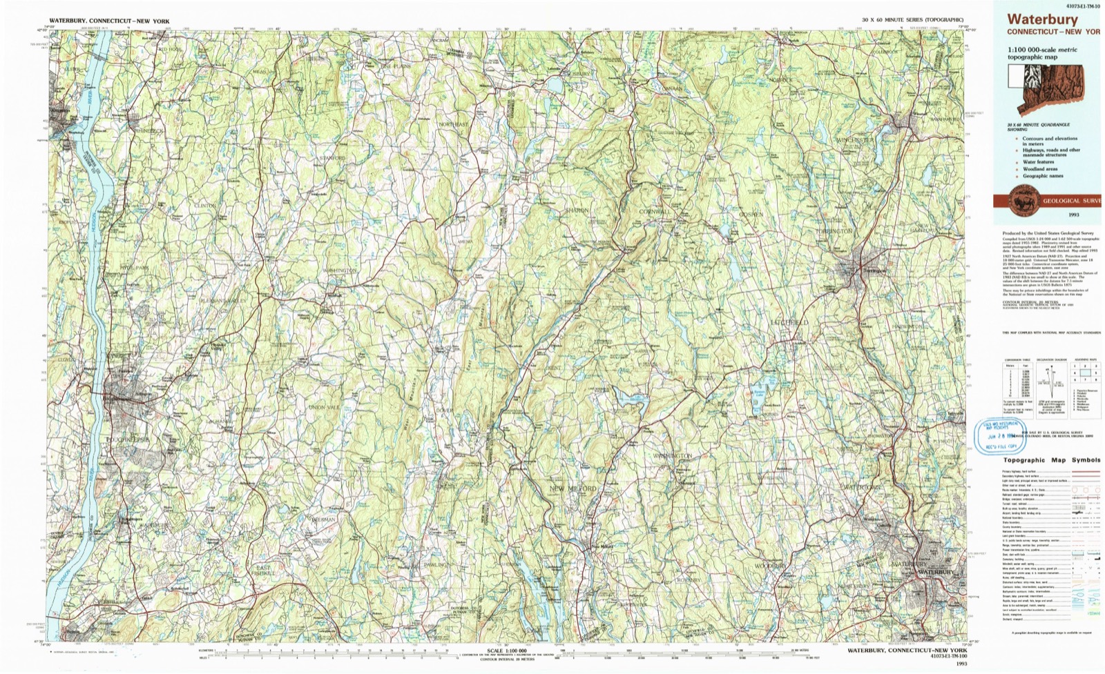
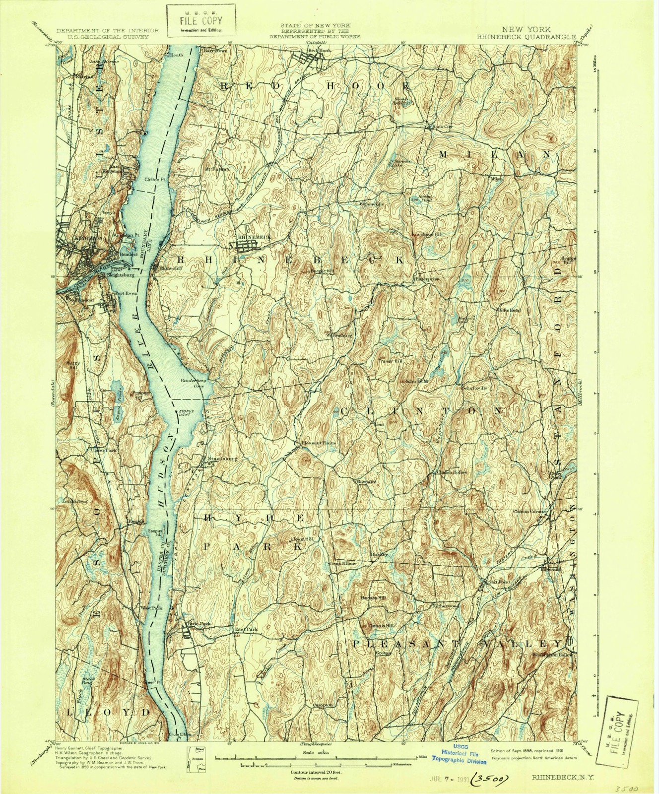
1898 to 1993The same ground, surveyed 95 years apart. Drag the handle to wipe between them. Both sheets are United States Geological Survey originals; neither has been altered.
On record in Rhinebeck
Buildings and businesses the archive holds for this place. Each opens its own page, with the source record it came from.
On the National Register 12 of 32 shown
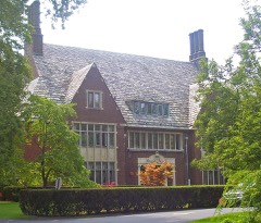 Astor Home for Childrenlisted 1987
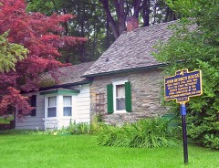 Benner Houselisted 1987
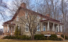 Cox Farmhouselisted 1987
 Henry Delamater Houselisted 1973
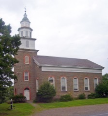 Evangelical Lutheran Church of St. Peterlisted 1975
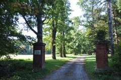 Grasmerelisted 1987
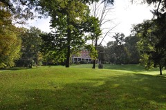 Grove, Thelisted 1987
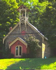 Hillside Methodist Churchlisted 1987
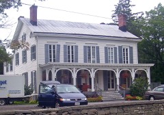 Maples, Thelisted 1987
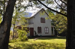 J. W. Moore Houselisted 1987
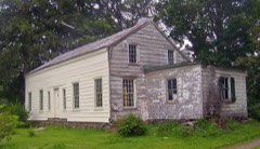 Neher-Elseffer Houselisted 2003
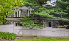 Jan Pier Houselisted 1987
Topographic sheets covering this place
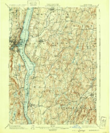
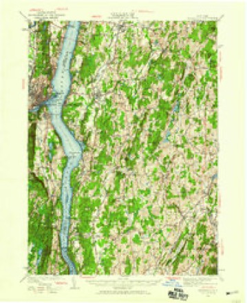
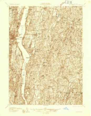
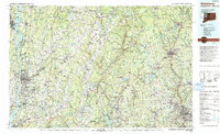
12 surveys from 31 printed sheetsMatched by testing this settlement's coordinate against the published boundary of every sheet in the United States Geological Survey's historical collection. Each opens the scanned sheet at the Survey.
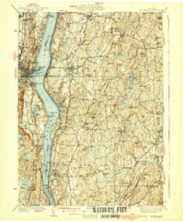
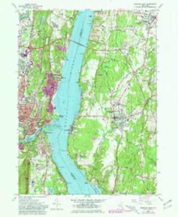
- 1898 USGS Rhinebeck quadrangle1:62500, 9 printings
- 1934 USGS Rhinebeck quadrangle1:62500
- 1934 USGS Rhinebeck quadrangle1:48000
- 1939 USGS Rhinebeck quadrangle1:62500, 3 printings
- 1947 USGS Hartford quadrangle1:250000, 2 printings
- 1948 USGS Hartford quadrangle1:250000, 2 printings
- 1961 USGS Hartford quadrangle1:250000
- 1962 USGS Hartford quadrangle1:250000, 3 printings
- 1963 USGS Kingston East quadrangle1:24000, 5 printings
- 1965 USGS Hartford quadrangle1:250000, 2 printings
- 1985 USGS Waterbury quadrangle1:100000
- 1993 USGS Waterbury quadrangle1:100000
Fires near this place
377 since 1997Regional context, not property-specific evidence. The federal wildfire occurrence database lists 377 fires within 5 miles of Rhinebeck between 1997 and 2020, burning about 343 acres in total. 22 started naturally. 48 were recorded as arson. Distance is straight-line from the map coordinates, so a fire counted here may appear on a neighbouring settlement's page as well.
| Reported cause | Fires |
|---|---|
| Missing data/not specified/undetermined | 175 |
| Smoking | 76 |
| Arson/incendiarism | 48 |
| Debris and open burning | 33 |
| Natural | 22 |
| Equipment and vehicle use | 15 |
| Power generation/transmission/distribution | 4 |
| Recreation and ceremony | 3 |
| Misuse of fire by a minor | 1 |
The most recent of them, most recent first, with the day each was reported and the service that recorded it.
| Date | Cause | Size | Reported by | Name on the report |
|---|---|---|---|---|
| 9 September 2006 | Arson/incendiarism | under an acre | Fire Department of New York | not named |
| 7 September 2017 | Missing data/not specified/undetermined | under an acre | Fire Department of New York | N/A |
| 6 September 2015 | Missing data/not specified/undetermined | under an acre | Fire Department of New York | NA |
| 4 September 2009 | Smoking | under an acre | Fire Department of New York | not named |
| 3 September 2001 | Missing data/not specified/undetermined | under an acre | Fire Department of New York | not named |
| 29 September 2019 | Missing data/not specified/undetermined | under an acre | Fire Department of New York | N/A |
| 26 September 2010 | Smoking | under an acre | Fire Department of New York | not named |
| 26 September 2009 | Smoking | under an acre | Fire Department of New York | not named |
Settlements close enough to share some of these fires:
Mines and quarries near this place
10 within 5 milesRegional context, not property-specific evidence. The federal mineral resources record lists 10 workings within 5 miles of Rhinebeck: 5 past producers, 5 producers. 5 still produce. What was taken out: Clay, Stone, Crushed/Broken, Sand and Gravel, Construction, Limestone, General. Distance is straight-line from the map coordinates, so a quarry counted here may appear on a neighbouring settlement's page as well.
| Where | Site | Commodity | Status | Recorded |
|---|---|---|---|---|
| Kingston Quarry | Limestone, General | Past Producer | Sedimentary | |
| Route 199 Pit | Sand and Gravel, Construction | Past Producer | Sedimentary | |
| Route 199 Pit | Sand and Gravel, Construction | Producer | ||
| Hudson Stone Quarry & Cement Plant | Stone, Crushed/Broken | Producer | ||
| Kingston Mill | Stone, Crushed/Broken | Producer | ||
| Kingston Quarry & Cement Plant | Stone, Crushed/Broken | Producer | ||
| Colite Pit | Clay | Past Producer | Sedimentary | |
| Colite Pit | Clay | Past Producer | ||
| Jova Manufacturing Corp Clay Mine | Clay | Producer | ||
| Tova Manufacturing Corp. Clay Mine | Clay | Past Producer | Sedimentary |
Storms near this place
34 since 1993Regional context, not property-specific evidence. The National Weather Service names Rhinebeck in 34 storm reports between 1993 and 2025: 24 thunderstorm wind, 7 hail, 2 lightning, 1 flash flood. No death or injury is recorded in these reports. Each account below is quoted exactly as the forecast office filed it, from the NOAA Storm Events Database, and each date opens the federal record of that event.
| When | Event | Place named | Harm | What the report says |
|---|---|---|---|---|
| May 2000 | Thunderstorm Wind | Rhinebeck | $20,000 | no account filed |
| July 1996 | Flash Flood | Rhinebeck | $20,000 | no account filed |
| July 1995 | Thunderstorm Wind | Rhinebeck | $20,000 | no account filed |
| July 1999 | Thunderstorm Wind | Rhinebeck | $11,000 | no account filed |
| June 2002 | Thunderstorm Wind | Rhinebeck | $10,000 | no account filed |
| May 1998 | Thunderstorm Wind | Rhinebeck | $6,000 | no account filed |
| June 1996 | Thunderstorm Wind | Rhinebeck | $6,000 | no account filed |
| August 2019 | Lightning | Rhinebeck | $5,000 | Lightning struck a house, causing an electrical fire. A section of Route 9 was closed for 20 minutes. |
| August 2019 | Lightning | Rhinebeck | $5,000 | A lightning strike started a house fire. |
| August 1994 | Thunderstorm Wind | Rhinebeck | $5,000 | A stationary front which was draped across northern Pennsylvania and southeast New York on the 13th of August was responsible for severe thunderstorms which occurred across parts of eastern New York early that morning and during the afternoon. The first round of thunderstorms occurred during the early morning hours of the 13th of August accompanied by a tremendous number of cloud to ground lightning strikes. Thunderstorm winds downed trees and powerlines in Guilderland and Troy. Later that day a second round of thunderstorms downed trees and powerlines across eastern parts of Ulster County and northern parts of Dutchess County. |
| May 1993 | Thunderstorm Wind | Rhinebeck | $5,000 | A strong cold front swept across eastern New York on the afternoon of May 11 resulting in severe thunderstorms across parts of the area. One of the areas hardest hit was in southern Washington County from three miles northwest of Salem to Rexleigh where a dry microburst destroyed a substantial portion of a large farm along Route 30. Damage at the farm included a two-car garage demolished, three grain silos damaged with one silo moved 18 inches off its foundation, a second garage damaged, the slate roof of the main residence partially removed along with the brick chimney. Other areas hard hit by the storms included sections of Ulster and Dutchess counties where trees, power lines and utility poles were downed leaving over 3,000 customers without power. Before the severe thunderstorms hit the Mid-Hudson Valley temperatures soared to record levels with Poughkeepsie reaching 92 degrees which broke the previous record of 91 which was set in 1953. |
| June 1994 | Thunderstorm Wind | Rhinebeck | $5,000 | no account filed |
| September 1998 | Thunderstorm Wind | Rhinebeck | $3,500 | no account filed |
| July 1995 | Thunderstorm Wind | Rhinebeck | $2,000 | no account filed |
| July 2025 | Hail | Rhinebeck | - | Quarter size hail was reported in the Village of Rhinebeck. |
| July 2025 | Thunderstorm Wind | Rhinebeck | - | A tree was downed and blocking traffic on US Route 9 southbound between Mill Road and Ackert Hook Road near Rhinebeck. |
| June 2024 | Thunderstorm Wind | Rhinebeck | - | There were multiple reports of downed trees and wires in Rhinebeck. |
| July 2024 | Thunderstorm Wind | Rhinebeck | - | Several large trees were downed in the same direction along a short path near the Dutchess County Fairgrounds in the Town of Rhinebeck. |
| July 2022 | Thunderstorm Wind | Rhinebeck | - | A 51 mph wind gust clocked at Rhinebeck. |
| August 2019 | Thunderstorm Wind | Rhinebeck | - | Trees were downed. |
| August 2019 | Hail | Rhinebeck | - | Dime to nickel size hail was reported. |
| September 2018 | Thunderstorm Wind | Rhinebeck | - | Trees were downed. |
| August 2018 | Thunderstorm Wind | Rhinebeck | - | Numerous trees and wires downed. |
| June 2017 | Thunderstorm Wind | Rhinebeck | - | Thunderstorm winds downed a tree, which was blocking a roadway, in Rhinebeck. |
| July 2014 | Thunderstorm Wind | Rhinebeck | - | Trees were reported down in Rhinebeck due to thunderstorm winds. |
| July 2014 | Thunderstorm Wind | Rhinebeck | - | Several trees were downed on the south side of Rhinebeck due to thunderstorm winds. Many power lines were downed as a result of the fallen trees. In addition, at least one home was damaged due to a fallen tree on King Road. Several roads needed to be closed due to downed trees. |
| July 2014 | Hail | Rhinebeck | - | Quarter size hail was reported during a thunderstorm in Rhinebeck. |
| June 2013 | Hail | Rhinebeck | - | Quarter size hail was reported during a thunderstorm in Rhinebeck. |
| June 2012 | Hail | Rhinebeck | - | Ping-pong ball size hail was reported during a thunderstorm in Rhinebeck. |
| June 2011 | Thunderstorm Wind | Rhinebeck | - | Multiple reports of trees and wires down in Rhinebeck due to strong thunderstorm winds including Montgomery Street, Spring Brook Avenue and along Route 9 which was closed due to the downed trees. |
| May 2008 | Thunderstorm Wind | Rhinebeck | - | Trees and wires were reported down in Rhinebeck as a result of strong thunderstorm winds. |
| June 2006 | Hail | Rhinebeck | - | A trained spotter reported penny-sized hail at Rhinebeck. |
| December 2006 | Thunderstorm Wind | Rhinebeck | - | A NWS Storm Survey Team confirmed that straight line winds struck the region from Rhinebeck to the Sepasco Lake area between 18:26 EST and 18:30 EST on Friday, December 1st.|Damage occurred along a four mile long path, over an approximate width of 100 yards, extending from the village of Rhinebeck northeast to Sepasco Lake. The damage swath rougly paralleled Route 308. Damage was confined mainly to falling trees. There was essentially no damage from the wind alone to structures. However, some structures sustained damage from falling trees. Many of the downed trees were pine, although a fair number were hardwoods. Damage occurred in three main areas, in the Village of Rhinebeck, the Harter Lane area, and the Sepasco Lake area.|The estimated winds were at 75 to 80 mph. |
| May 2000 | Hail | Rhinebeck | - | no account filed |
Nearest settlements
The eight closest, with where each one stands in the county. Distances are straight-line, computed from the Geographic Names Information System coordinates.
| Map | Place | Distance | Sheets |
|---|---|---|---|
| Rhinecliff | 2.1 miles | 31 | |
| Weys Corners | 2.4 miles | 31 | |
| Eighmyville | 3.2 miles | 29 | |
| Wurtemburg | 3.2 miles | 29 | |
| Lamplight Court | 3.5 miles | 31 | |
| Barrytown | 5.0 miles | 31 | |
| Red Hook | 5.1 miles | 31 | |
| DeWitt Mills | 5.2 miles | 30 |
Provenance
This settlement is recorded in the Geographic Names Information System as feature 962436. The sheet list is computed by point-in-boundary test against the United States Geological Survey's historical topographic inventory. Both are works of the United States government and carry no copyright under 17 U.S.C. 105.
Wildfire. Short, Karen C. 2022. Spatial wildfire occurrence data for the United States, 1992-2020 [FPA_FOD_20221014]. 6th Edition. Fort Collins, CO: Forest Service Research Data Archive. https://doi.org/10.2737/RDS-2013-0009.6 Collected with United States Government funding and usable without additional permissions or fees.
Mines and quarries. USGS Mineral Resources Data System (MRDS) https://mrdata.usgs.gov/mrds/ A work of the United States government, no copyright under 17 U.S.C. 105.
Storms. NOAA National Centers for Environmental Information, Storm Events Database https://www.ncei.noaa.gov/stormevents/ A work of the United States government, no copyright under 17 U.S.C. 105. Narratives are quoted verbatim from the National Weather Service report and are not edited or summarised.