 Block
BlockRome, New York
28 topographic sheets cover this place, the earliest surveyed in 1895 and the latest in 1985. It stands in Rome City. It lies in ZIP code area 13440. It stands on Wheelers Creek. The Survey maps it on the Rome quadrangle. 32,127 people lived here at the 2020 count. It stands 456 feet above sea level.
Research this city
Then and now
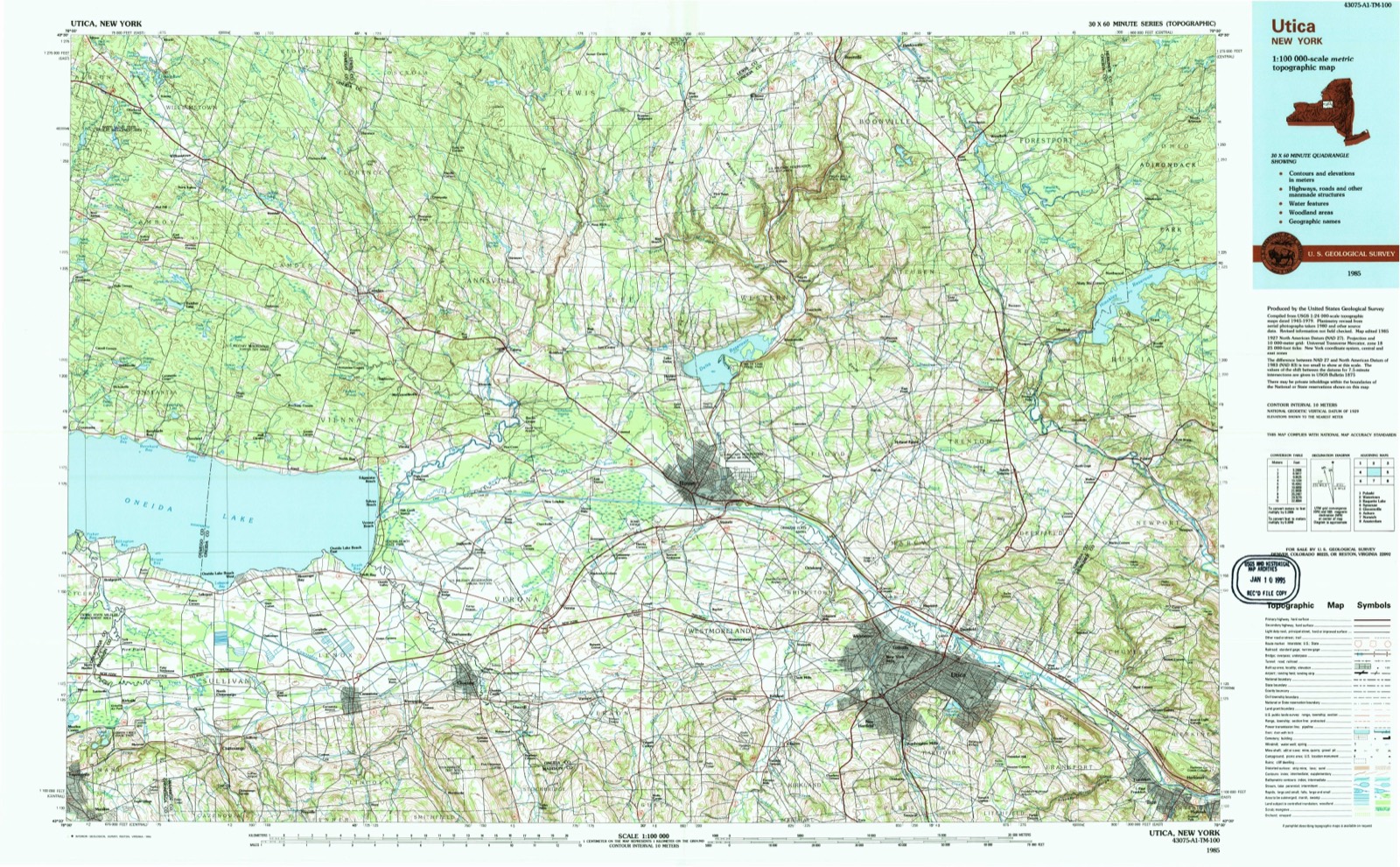
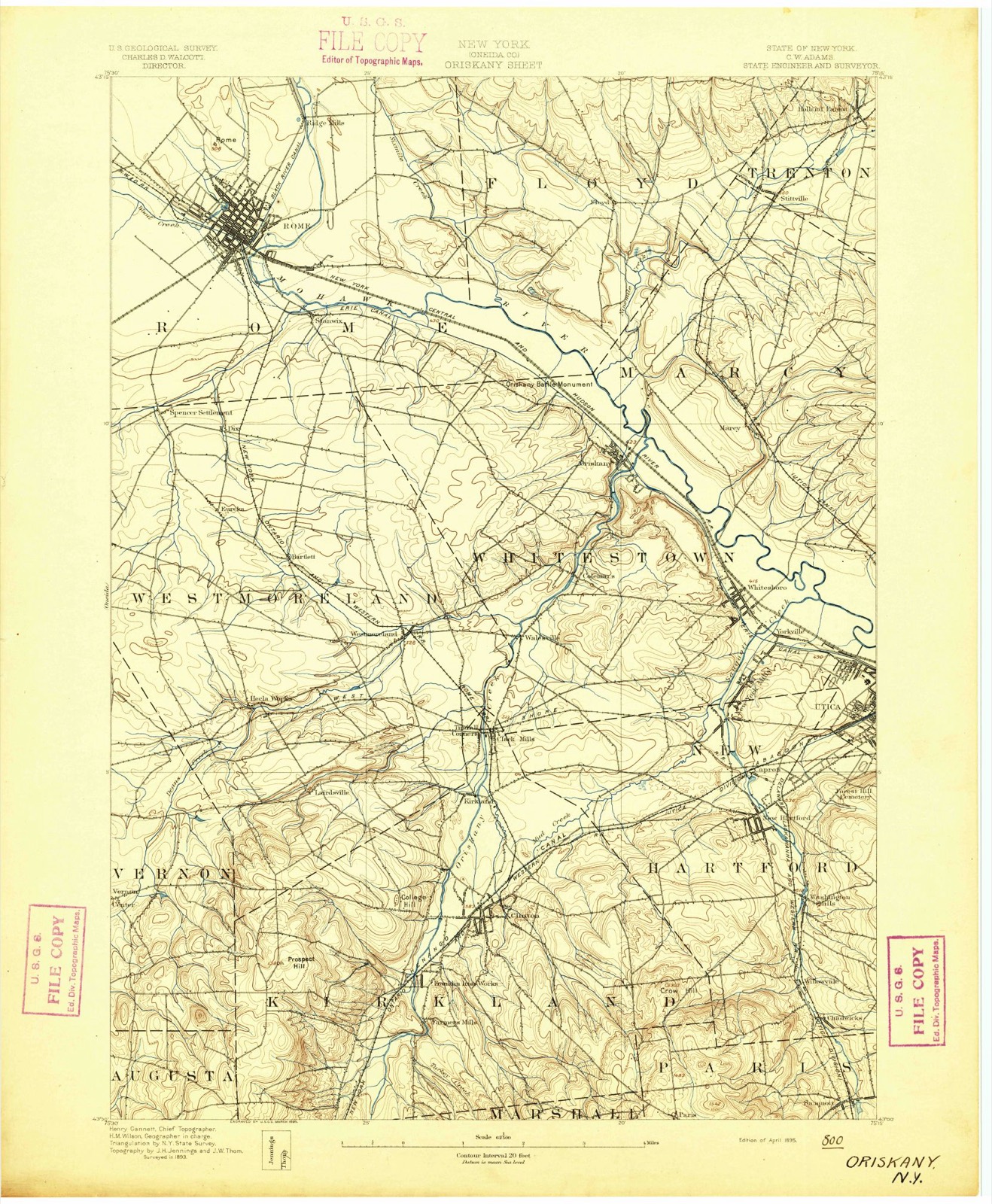
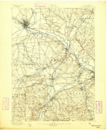
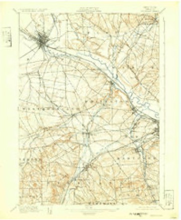
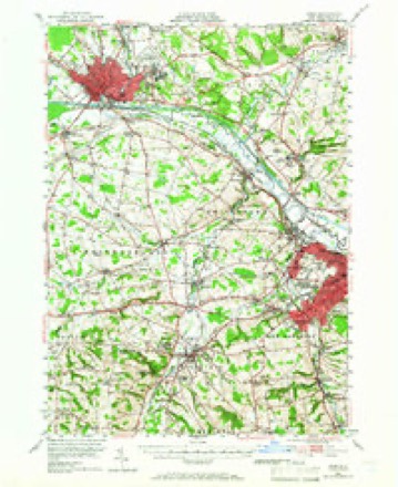
1895 to 1985The same ground, surveyed 90 years apart. Drag the handle to wipe between them. Both sheets are United States Geological Survey originals; neither has been altered.
On record in Rome
Buildings and businesses the archive holds for this place. Each opens its own page, with the source record it came from.
On the National Register 12 records
 Fort Stanwix National MonumentNational Historic Landmark · listed 1966
 Oriskany BattlefieldNational Historic Landmark · listed 1966
 Arsenal Houselisted 1974
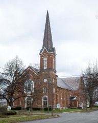 First Methodist Episcopal Church of Romelisted 2010
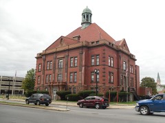 Gansevoort-Bellamy Historic Districtlisted 1975
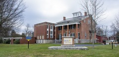 Jervis Public Librarylisted 1982
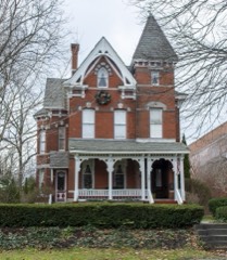 Mills Houselisted 1997
 Rome Elks Lodge No. 96listed 2013
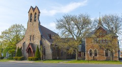 Zion Churchlisted 1997
- Beeches Historic District, Thelisted 2023
- Rome Cemeterylisted 2022
- Rome Residential Historic Districtlisted 2025
Population over time
2 figuresRome fell from 33,725 to 32,127 between 2010 and 2020. These are the recorded population figures Wikidata holds for this place, reached through the Geographic Names Information System number this page is keyed on rather than by name, so they belong to this place and not to another of the same name. Most are census counts, but not all are: an early figure may be a founding or settlement estimate, and an estimate published within five years of a census is left out. The change column is computed, and is left blank where more than 20 years separate a figure from the one before it, because a gap that long is not a change between two counts.
| Year | People | Change |
|---|---|---|
| 2010 | 33,725 | |
| 2020 | 32,127 | -1,598 (-5%) |
Topographic sheets covering this place
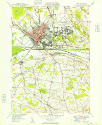
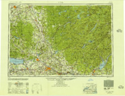
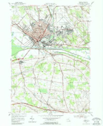
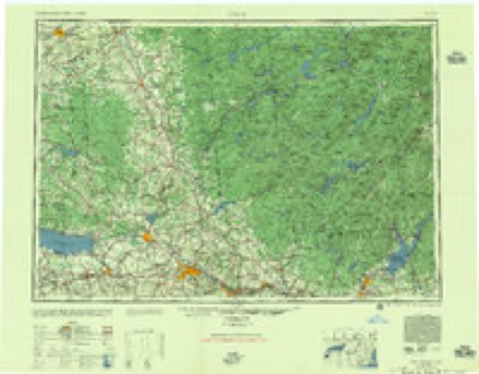
11 surveys from 28 printed sheetsMatched by testing this settlement's coordinate against the published boundary of every sheet in the United States Geological Survey's historical collection. Each opens the scanned sheet at the Survey.
- 1895 USGS Oriskany quadrangle1:62500
- 1898 USGS Oriskany quadrangle1:62500, 10 printings
- 1947 USGS Rome quadrangle1:62500, 3 printings
- 1949 USGS Rome quadrangle1:24000
- 1950 USGS Utica quadrangle1:250000
- 1955 USGS Rome quadrangle1:24000, 4 printings
- 1957 USGS Utica quadrangle1:250000
- 1962 USGS Utica quadrangle1:250000, 3 printings
- 1964 USGS Utica quadrangle1:250000
- 1967 USGS Utica quadrangle1:250000
- 1985 USGS Utica quadrangle1:100000, 2 printings
Fires near this place
259 since 2000Regional context, not property-specific evidence. The federal wildfire occurrence database lists 259 fires within 5 miles of Rome between 2000 and 2019, burning about 197 acres in total. 18 started naturally. 44 were recorded as arson. Distance is straight-line from the map coordinates, so a fire counted here may appear on a neighbouring settlement's page as well.
| Reported cause | Fires |
|---|---|
| Missing data/not specified/undetermined | 156 |
| Arson/incendiarism | 44 |
| Smoking | 28 |
| Natural | 18 |
| Debris and open burning | 7 |
| Misuse of fire by a minor | 4 |
| Power generation/transmission/distribution | 2 |
The most recent of them, most recent first, with the day each was reported and the service that recorded it.
| Date | Cause | Size | Reported by | Name on the report |
|---|---|---|---|---|
| 8 September 2004 | Missing data/not specified/undetermined | under an acre | Fire Department of New York | not named |
| 6 September 2000 | Missing data/not specified/undetermined | under an acre | Fire Department of New York | not named |
| 5 September 2001 | Arson/incendiarism | under an acre | Fire Department of New York | not named |
| 5 September 2001 | Smoking | under an acre | Fire Department of New York | not named |
| 4 September 2005 | Arson/incendiarism | under an acre | Fire Department of New York | not named |
| 4 September 2005 | Missing data/not specified/undetermined | under an acre | Fire Department of New York | not named |
| 25 September 2008 | Arson/incendiarism | under an acre | Fire Department of New York | not named |
| 21 September 2004 | Missing data/not specified/undetermined | under an acre | Fire Department of New York | not named |
Settlements close enough to share some of these fires:
Mines and quarries near this place
7 within 5 milesRegional context, not property-specific evidence. The federal mineral resources record lists 7 workings within 5 miles of Rome: 6 past producers, 1 producer. 1 still produces. What was taken out: Sand and Gravel, Construction. Distance is straight-line from the map coordinates, so a quarry counted here may appear on a neighbouring settlement's page as well.
| Where | Site | Commodity | Status | Recorded |
|---|---|---|---|---|
| Craig Pit | Sand and Gravel, Construction | Past Producer | ||
| Hanicker Brothers Sand & Gravel Pit | Sand and Gravel, Construction | Past Producer | Sedimentary | |
| Hanicker Brothers Sand & Gravel Pit | Sand and Gravel, Construction | Producer | ||
| No. 5 Pit | Sand and Gravel, Construction | Past Producer | ||
| Sullivan Sand & Gravel Deposit | Sand and Gravel, Construction | Past Producer | ||
| Sullivan Sand & Gravel Deposit | Sand and Gravel, Construction | Past Producer | ||
| Unnamed Sand & Gravel Pit | Sand and Gravel, Construction | Past Producer |
Storms near this place
60 of 83 shownRegional context, not property-specific evidence. The National Weather Service names Rome in 83 storm reports between 1994 and 2025: 44 thunderstorm wind, 25 hail, 7 flash flood, 5 lightning. The reports record 2 injuries. Each account below is quoted exactly as the forecast office filed it, from the NOAA Storm Events Database, and each date opens the federal record of that event.
| When | Event | Place named | Harm | What the report says |
|---|---|---|---|---|
| August 2002 | Lightning | Rome | 1 hurt, $10,000 | Lightning struck an electrical pole. It is believed that the the lightning caused a surge of electricity through the lines into a house and mobile home nearby. The strike threw a woman inside her house across her living room. A horse was killed outside of the house. Many coy fish died in a pond also located nearby. The house had many hot spots and charred bottom sills but no fire was started. The lightning also took down several trees on the property. At another location on Route 49 lightning struck a tree. The tree fell taking electric wires with it. |
| June 1995 | Thunderstorm Wind | Rome | 1 hurt, $5,000 | Severe thunderstorms moved across parts of eastern New York on the afternoon of the 26th ahead of a cold front. Trees and power lines were downed by thunderstorm winds in Broome, Chenango, Cortland, Delaware, Oneida, Otsego, and Schoharie Counties. Hardest hit were Greene in Chenango County and Westford in Otsego County were many trees were uprooted or broken off. A 31-year-old man was killed near Smithville Flats when a tree fell on him while walking across a field. In Oneida County an 82-year-old woman was severely injured when a tree branch fell on her head. (M31O) |
| July 2024 | Tornado (EF2) | Rome | $3,500,000 | Severe thunderstorms carried through the area with scattered damage during mid afternoon of July 16 2024. Strong rotation in one of the storms caused a high-end EF2 tornado to touch down between the Erie Canal and Muck Road in Oneida County New York. The tornado passed directly through Rome with heavy damage and estimated maximum wind speeds to 135 mph, before lifting just past Griffiss International Airport. Two churches sustained significant damage to their roofs and steeples. Two|large brick buildings sustained major damage or removal of roofs, with complete collapses of some walls. Cascading bricks next to these buildings crushed multiple vehicles. A vehicle was also flipped in a parking lot, one recreational vehicle was pushed over; another was forced from the side of a house out into a driveway, colliding with a parked car. Hundreds of large trees were snapped or uprooted, with resultant damage to adjoining properties. There was significant loss of roofs or roofing material from multiple residences, as well as blown out garage doors or windows. Some yards and even exterior walls were impaled by missiles in the form of branches or other objects. A B-52 on display near a park was shifted off its base but remained upright and undamaged. |
| May 2000 | Hail | Rome | $500,000 | Extensive hail damage to cars was reported at a car dealership. Additionally, 25 skylights were smashed at Staley Junior High School and there was extensive damage to a greenhouse as well as to other buildings. A unit of Wright Park Manor sustained significant roof damage from hail causing the evacuation of 19 people. |
| September 2011 | Flash Flood | Rome | $30,000 | Street flooding of Erie Boulevard was flooded and there was 6 inches of water over 3rd street in Rome. |
| September 2010 | Flash Flood | Rome | $30,000 | Water covered many roads in Rome. East Erie Blvd. was flooded by 6 to 12 inches of water, and underpasses along the road were flooded. The Walmart parking lot was also flooded. |
| June 2014 | Flash Flood | Rome | $25,000 | Water several inches deep was rushing down a few roads in the City of Rome. |
| May 2011 | Flash Flood | Rome | $25,000 | Heavy rain caused flash flooding, especially in the Rome and Oriskany areas. There were reports of water running across roads in the northern sections of Rome and at Griffiths Air Force Base, with water depths over one foot. Numerous roads were also flooded in Oriskany, with water and debris flowing over Airport Road, and a mudslide across Valley Road. Route 69 was closed due to flooding. A cooperative weather observer measured 2.60 inches of rain in a 2.5 hour period at Delta Lake. |
| November 2006 | Flash Flood | Rome | $25,000 | Numerous roads, bridges and homes were flooded by heavy rainfall. Many creeks and streams overflowed their banks. |
| June 2005 | Thunderstorm Wind | Rome | $20,000 | Thunderstorm winds downed trees and wires including in Rome, Holland Patent, Westmoreland, and Hinckley. In Westmoreland, a tree uprooted falling through the roof of a house. The owners were home in a different part of the house at the time the tree fell. They were not injured. The house was a total loss. |
| May 2004 | Thunderstorm Wind | Rome | $20,000 | Thunderstorm winds downed trees and power lines. |
| July 1997 | Thunderstorm Wind | Rome | $20,000 | A thunderstorm reached severe levels across central and eastern sections of the county. Numerous trees and wires were blown over in and around Rome. Further east, more trees came down in the town of Oriskany. |
| April 2025 | Thunderstorm Wind | Rome | $15,000 | Strong thunderstorm winds knocked down several trees and wires in Rome. A metal roof covering was peeled back on an Embargo Street structure. A downed limb caused minor damage to a business office on Thomas Street. |
| April 2011 | Flash Flood | Rome | $15,000 | Roads were closed in Rome. |
| June 2025 | Thunderstorm Wind | Rome | $10,000 | Strong thunderstorm winds knocked down numerous trees and wires across roads and homes around Rome. |
| October 2020 | Thunderstorm Wind | Rome | $10,000 | Strong thunderstorm winds brought down trees and wires. Wires were also on fire near a trailer park. |
| July 2019 | Thunderstorm Wind | Rome | $10,000 | Strong thunderstorm winds brought down multiple trees and wires in the city of Rome. |
| July 2016 | Thunderstorm Wind | Rome | $10,000 | A thunderstorm moved into the area Saturday afternoon and quickly became severe. The thunderstorm knocked many trees over and caused power outages in the city of Rome. |
| July 2014 | Thunderstorm Wind | Rome | $10,000 | Numerous trees were blown down. |
| July 2014 | Thunderstorm Wind | Rome | $10,000 | A confirmed 60-70 MPH microburst went through the city of Rome. It caused some branches to blow down and uproot a few trees. |
| August 2004 | Thunderstorm Wind | Rome | $10,000 | Thunderstorm winds downed numerous trees and wires. |
| September 2003 | Lightning | Rome | $10,000 | Lightning struck the tower of the St Mary's of the Assumption church on West Liberty Street. This damaged the electric bell system in the tower. |
| August 2007 | Hail | Rome | $10,000 | no account filed |
| July 2013 | Thunderstorm Wind | Rome | $8,000 | Garbage dumpster was flipped over by high winds. Several trees were blown down, including one large tree. |
| April 1996 | Thunderstorm Wind | Rome | $7,000 | no account filed |
| August 2023 | Thunderstorm Wind | Rome | $5,000 | Strong thunderstorm winds knocked down multiple trees and wires. |
| May 2019 | Thunderstorm Wind | Rome | $5,000 | Strong thunderstorm winds knocked down multiple trees. |
| July 2018 | Thunderstorm Wind | Rome | $5,000 | Strong thunderstorm winds knocked down trees. |
| February 2016 | Thunderstorm Wind | Rome | $5,000 | A thunderstorm moved over the area and produced severe wind damage. This thunderstorm forced 4 trees to be knocked over on Liberty street. |
| June 2016 | Thunderstorm Wind | Rome | $5,000 | A thunderstorm moved across the region and became severe. This thunderstorm resulted in a tree being knocked over which landed on a house. |
| September 2005 | Thunderstorm Wind | Rome | $5,000 | Trees down countywide. |
| June 1994 | Thunderstorm Wind | Rome | $5,000 | no account filed |
| May 2017 | Thunderstorm Wind | Rome | $3,000 | A thunderstorm moved across the region and became severe. This thunderstorm produced severe winds and knocked trees over. |
| April 2011 | Thunderstorm Wind | Rome | $3,000 | Dumpsters were overturned. |
| May 2010 | Thunderstorm Wind | Rome | $3,000 | Tree branches were knocked down and a tin roof was blown off housing. |
| May 2010 | Thunderstorm Wind | Rome | $3,000 | Tree branches and debris covered the ground. A home under construction had tin roofing blown off. Also, half to three-quarter inch hail covered the ground. |
| June 2007 | Thunderstorm Wind | Rome | $3,000 | Wires were knocked down across town. |
| July 2013 | Thunderstorm Wind | Rome | $2,000 | Thunderstorm winds caused power outages. |
| June 2008 | Thunderstorm Wind | Rome | $2,000 | Numerous trees and power lines were blown down. |
| July 2008 | Thunderstorm Wind | Rome | $2,000 | A few trees were blown down. |
| August 2003 | Thunderstorm Wind | Rome | $2,000 | Numerous trees down in and around Rome from strong thunderstorm winds. |
| August 2016 | Thunderstorm Wind | Rome | $1,000 | A thunderstorm moved across the region and became severe. This thunderstorm resulted in a tree being knocked over. |
| July 2010 | Thunderstorm Wind | Rome | $1,000 | Trees and wires were blown down. |
| August 2007 | Thunderstorm Wind | Rome | $1,000 | Trees and wires were blown down. |
| August 2007 | Thunderstorm Wind | Rome | $1,000 | Trees and wires were blown down in North Rome. |
| May 2004 | Lightning | Rome | $1,000 | Lightning struck a home on Sleepy Hollow Road. The strike knocked out some of the appliances and created light smoke in the garage. |
| May 2002 | Thunderstorm Wind | Rome | $1,000 | A large tree limb came down on a parked car breaking the front windshield. Winds were estimated at between 40 and 50 miles an hour. Wires were also reported down in the county by the power company Niagara Mohawk. 200 customers were affected in Oneida and Herkimer Counties. |
| July 1994 | Thunderstorm Wind | Rome | $500 | no account filed |
| August 2014 | Hail | Rome | - | Hail was accompanied by strong gusty winds and heavy rain. |
| July 2014 | Thunderstorm Wind | Rome | - | Pine tree was broken and was leaning against a house. |
| May 2013 | Thunderstorm Wind | Rome | - | Trained spotter reported estimated wind speeds of 60 mph. |
| May 2013 | Thunderstorm Wind | Rome | - | Trained spotter reported a measured gust of 54 knots. |
| September 2013 | Hail | Rome | - | Spotter also estimated 50 MPH wind associated with the storm. |
| September 2013 | Thunderstorm Wind | Rome | - | Numerous branches were blown down, some 3 to 4 inches in diameter. |
| July 2012 | Hail | Rome | - | Hail lasted for six minutes. Also, the spotter estimated a wind gust of 60 mph. |
| July 2010 | Thunderstorm Wind | Rome | - | Also, 0.57 inches of rain fell in 15 minutes. |
| January 2010 | Flash Flood | Rome | - | Numerous roads were flooded near Rome. Route 365 between Rome and Floyd was covered by about 8 inches of water over a small section. |
| June 2008 | Hail | Rome | - | Penny size hail was also reported. |
| June 2007 | Thunderstorm Wind | Rome | - | Trees were blown down in Rome, Verona and Lowell. |
| June 2001 | Lightning | Rome | - | Newspaper reports indicate a garage on Westbrook Drive was struck by lightning. The lightning then travelled through the garage to a nearby dog house, killing the dog inside. |
Nearest settlements
The eight closest, with where each one stands in the county. Distances are straight-line, computed from the Geographic Names Information System coordinates.
| Map | Place | Distance | Sheets |
|---|---|---|---|
| Bloomfield Park | 0.9 miles | 28 | |
| Lynch Tract | 1.1 miles | 28 | |
| Liberty Gardens | 1.2 miles | 28 | |
| Colonial Park | 1.2 miles | 28 | |
| Riverdale | 1.2 miles | 28 | |
| Mohawk Gardens | 1.3 miles | 28 | |
| Stanwix | 1.8 miles | 28 | |
| Air City | 1.8 miles | 28 |
Elsewhere
Matched on this settlement's Geographic Names Information System number rather than its name, so it cannot be a different place of the same name in another state.
| Wikipedia article on Rome | An encyclopaedic summary. Its text is share-alike, so it is linked here rather than copied. |
| Wikidata item Q6586 | The structured record the population and elevation above come from. Public domain (CC0). |
Provenance
This settlement is recorded in the Geographic Names Information System as feature 962840. The sheet list is computed by point-in-boundary test against the United States Geological Survey's historical topographic inventory. Both are works of the United States government and carry no copyright under 17 U.S.C. 105.
Wildfire. Short, Karen C. 2022. Spatial wildfire occurrence data for the United States, 1992-2020 [FPA_FOD_20221014]. 6th Edition. Fort Collins, CO: Forest Service Research Data Archive. https://doi.org/10.2737/RDS-2013-0009.6 Collected with United States Government funding and usable without additional permissions or fees.
Mines and quarries. USGS Mineral Resources Data System (MRDS) https://mrdata.usgs.gov/mrds/ A work of the United States government, no copyright under 17 U.S.C. 105.
Storms. NOAA National Centers for Environmental Information, Storm Events Database https://www.ncei.noaa.gov/stormevents/ A work of the United States government, no copyright under 17 U.S.C. 105. Narratives are quoted verbatim from the National Weather Service report and are not edited or summarised.