 Block
BlockSpuyten Duyvil, New York
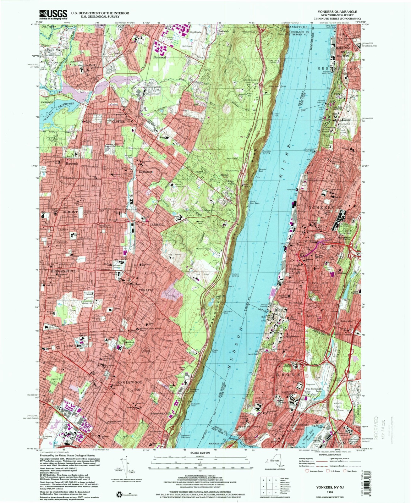
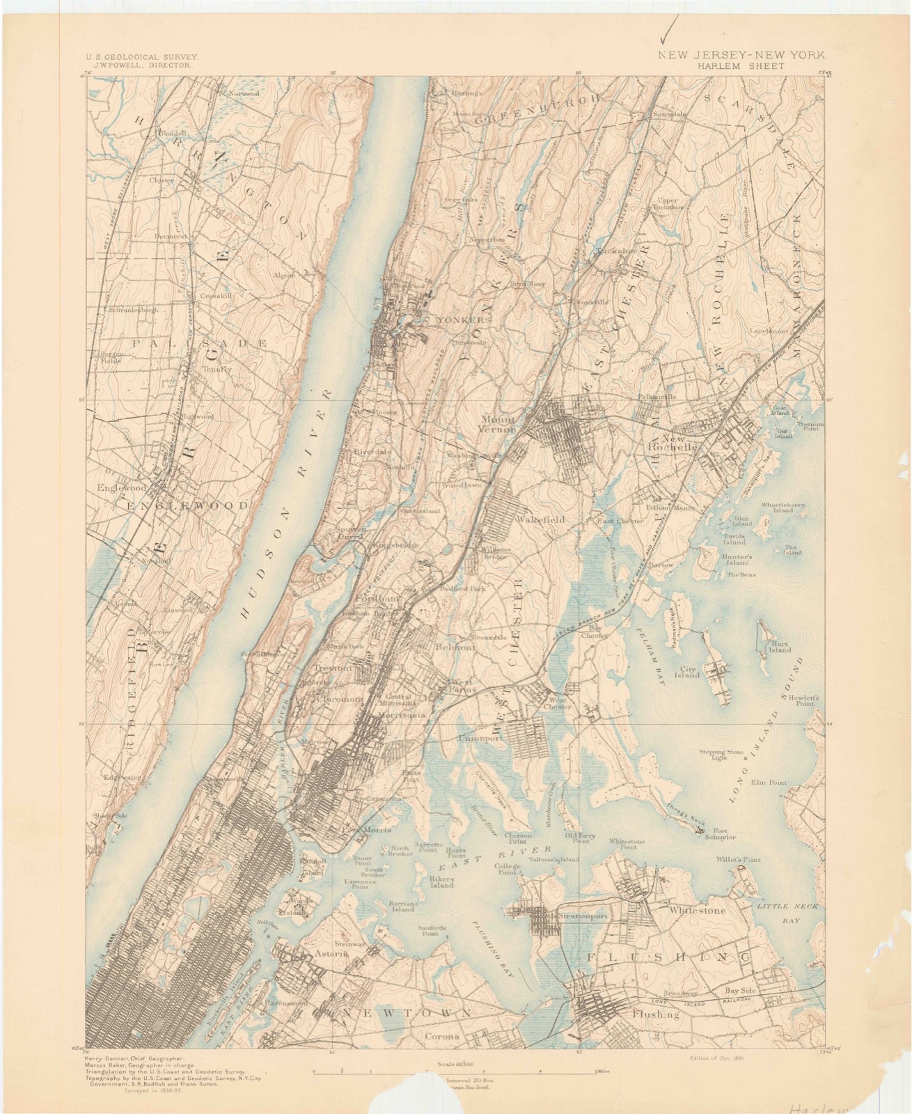
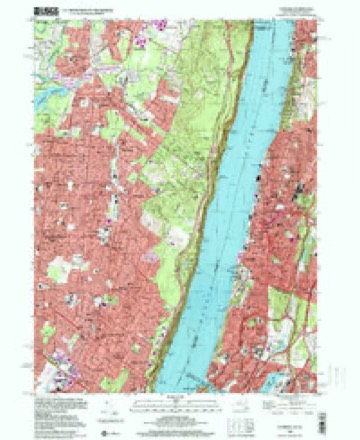
42 topographic sheets cover this place, the earliest surveyed in 1891 and the latest in 1998. It stands in the borough of the Bronx. It lies in ZIP code area 10463. It lies near Tetards Hill. The Survey maps it on the Yonkers quadrangle.
Then and now
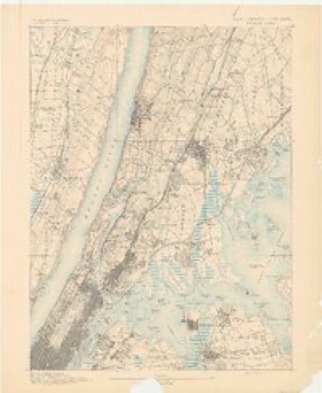
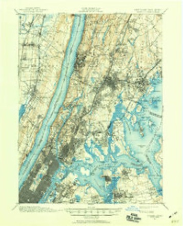
1891 to 1998The same ground, surveyed 107 years apart. Drag the handle to wipe between them. Both sheets are United States Geological Survey originals; neither has been altered.
On record in Spuyten Duyvil
Buildings and businesses the archive holds for this place. Each opens its own page, with the source record it came from.
On the National Register within a mile 4 records
The National Register names another town for these. They stand within one mile of this settlement's coordinate.
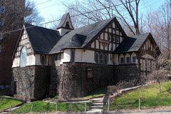 Edgehill Church of Spuyten Duyvillisted 1982 · 0.2 miles away
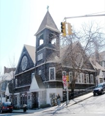 St. Stephen's Methodist Churchlisted 2012 · 0.5 miles away
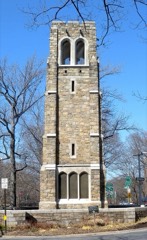 Riverdale-Spuyten Duyvil-Kingsbridge Memorial Bell Towerlisted 2012 · 0.8 miles away
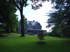 William E. Dodge Houselisted 1977 · 1.0 miles away
Topographic sheets covering this place
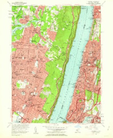
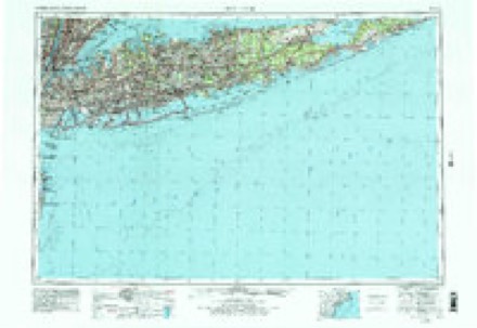
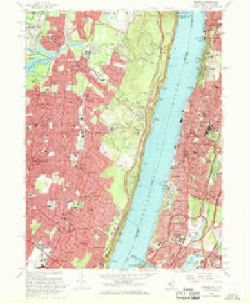
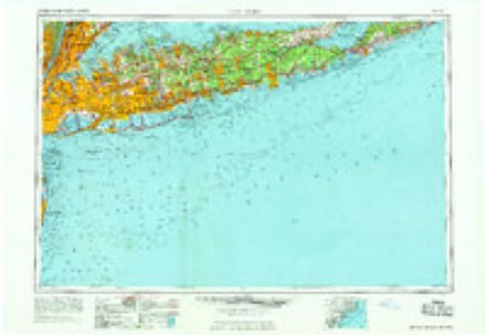
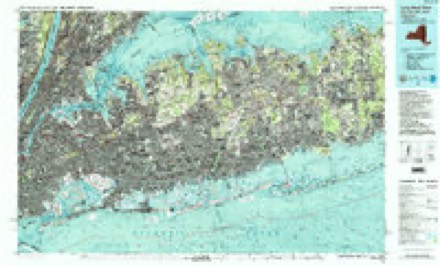
15 surveys from 42 printed sheetsMatched by testing this settlement's coordinate against the published boundary of every sheet in the United States Geological Survey's historical collection. Each opens the scanned sheet at the Survey.
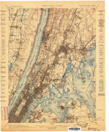
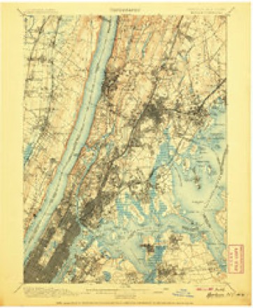
- 1891 USGS Harlem quadrangle1:62500
- 1897 USGS Harlem quadrangle1:62500, 4 printings
- 1898 USGS Harlem quadrangle1:62500
- 1900 USGS Harlem quadrangle1:62500, 16 printings
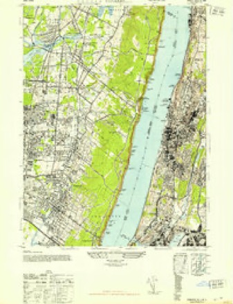
- 1947 USGS Yonkers quadrangle1:24000, 2 printings
- 1949 USGS New York quadrangle1:250000
- 1954 USGS New York quadrangle1:250000, 2 printings
- 1956 USGS Yonkers quadrangle1:24000, 2 printings
- 1957 USGS New York quadrangle1:250000
- 1958 USGS New York quadrangle1:250000, 3 printings
- 1960 USGS New York quadrangle1:250000, 2 printings
- 1966 USGS Yonkers quadrangle1:24000, 3 printings
- 1969 USGS New York quadrangle1:250000
- 1984 USGS Long Island West quadrangle1:100000, 2 printings
- 1998 USGS Yonkers quadrangle1:24000
Fires near this place
2,372 since 2000Regional context, not property-specific evidence. The federal wildfire occurrence database lists 2,372 fires within 5 miles of Spuyten Duyvil between 2000 and 2020, burning about 757 acres in total. 133 started naturally. 136 were recorded as arson. Distance is straight-line from the map coordinates, so a fire counted here may appear on a neighbouring settlement's page as well.
| Reported cause | Fires |
|---|---|
| Missing data/not specified/undetermined | 1660 |
| Smoking | 154 |
| Recreation and ceremony | 143 |
| Arson/incendiarism | 136 |
| Natural | 133 |
| Equipment and vehicle use | 54 |
| Debris and open burning | 53 |
| Misuse of fire by a minor | 22 |
| Power generation/transmission/distribution | 8 |
| Other causes | 5 |
| Railroad operations and maintenance | 4 |
The most recent of them, most recent first, with the day each was reported and the service that recorded it.
| Date | Cause | Size | Reported by | Name on the report |
|---|---|---|---|---|
| 9 September 2015 | Missing data/not specified/undetermined | under an acre | Fire Department of New York | NA |
| 9 September 2015 | Arson/incendiarism | under an acre | Fire Department of New York | NA |
| 9 September 2010 | Debris and open burning | under an acre | Fire Department of New York | not named |
| 9 September 2010 | Missing data/not specified/undetermined | under an acre | Fire Department of New York | not named |
| 9 September 2010 | Missing data/not specified/undetermined | under an acre | Fire Department of New York | not named |
| 9 September 2010 | Missing data/not specified/undetermined | under an acre | Fire Department of New York | not named |
| 9 September 2010 | Missing data/not specified/undetermined | under an acre | Fire Department of New York | not named |
| 9 September 2005 | Missing data/not specified/undetermined | under an acre | Fire Department of New York | not named |
Settlements close enough to share some of these fires:
Mines and quarries near this place
10 within 5 milesRegional context, not property-specific evidence. The federal mineral resources record lists 10 workings within 5 miles of Spuyten Duyvil: 6 occurrences, 3 past producers, 1 plant. 1 still produces. What was taken out: Palladium, Platinum, Titanium, Garnet, Zirconium. Distance is straight-line from the map coordinates, so a quarry counted here may appear on a neighbouring settlement's page as well.
| Where | Site | Commodity | Status | Recorded |
|---|---|---|---|---|
| (Facility) Laurel Hill Refinery | Copper, Gold, Nickel, Silver, Tellurium, Selenium, Palladium, Platinum | Plant | ||
| 155th St & 10th Ave Garnet Deposit | Garnet, Zirconium | Occurrence | ||
| 159th St & 11th Ave Beryl Deposit | Beryllium | Occurrence | ||
| 176/178 Sts & 11th Ave Deposit | Titanium, Garnet, Gemstone | Occurrence | ||
| 200th St & 10th Ave Kyanite Deposit | Kyanite | Occurrence | ||
| Bergenfield Plant | REE | Past Producer | ||
| Hickory Lane Quarry | Stone, Crushed/Broken | Past Producer | 1890 | |
| Star Sand and Gravel Inc. Pit | Sand and Gravel, Construction | Past Producer | ||
| 180th St & 10th Ave Rutile Deposit | Titanium | Occurrence | ||
| Unnamed Pge Occurrence | Palladium, Platinum | Occurrence |
Storms near this place
13 since 2010Regional context, not property-specific evidence. The National Weather Service names Spuyten Duyvil in 13 storm reports between 2010 and 2025: 9 flash flood, 1 heavy rain, 1 flood, 1 tornado. The reports record 7 injuries. Each account below is quoted exactly as the forecast office filed it, from the NOAA Storm Events Database, and each date opens the federal record of that event.
| When | Event | Place named | Harm | What the report says |
|---|---|---|---|---|
| July 2010 | Tornado (EF1) | Spuyten Duyvil | 7 hurt, $150,000 | The tornado touched down on the grounds of the Hebrew Home for the Aged along the east bank of the Hudson River west of Palisade Avenue in Riverdale. High winds flattened a flag pole, downed trees and snapped and sheared off many tree tops. A few trees crashed through first floor windows that caused them to shatter resulting in 7 minor injuries. On the south side of the building, large trees were totally stripped of their canopies and one became a projectile as it was wedged between an upstream tree. An eyewitness account at this location stated that he saw funnel clouds develop upstream over the Hudson as the thunderstorm approached.||Several eyewitnesses along the southeast path of this storm stated that they saw clouds and debris swirl in white out conditions as many tree tops were snapped and sheared off. Significant damage occurred along West 254th Street northwest across Netherlands and Arlington Streets, where at least one residential roof was damaged west of 254th Street. |
| September 2021 | Flash Flood | Spuyten Duyvil | $60,000,000 | Flash flooding resulted in an estimated $60 million in damages across the Bronx, and an estimated $300 million city-wide. This estimate only includes FEMA and SBA fund requests. |
| May 2019 | Thunderstorm Wind | Spuyten Duyvil | $5,000 | Tree down on car in southbound lane of the Major Deegan Expressway near Fordham Road. |
| October 2025 | Flash Flood | Spuyten Duyvil | - | Flooding reported near the Riverdale Country School with a foot and a half to two feet of standing water up to bottom of doors of sedan type cars. |
| August 2024 | Flash Flood | Spuyten Duyvil | - | Car stalled in flood waters on the Henry Hudson Parkway under the West 246th Street underpass. |
| June 2021 | Flash Flood | Spuyten Duyvil | - | Road flooding and road closures with vehicles stranded reported via mPING in the vicinity of West 239th Street and the Henry Hudson Parkway (Route 9A) in the Riverdale section of the Bronx. |
| July 2021 | Flash Flood | Spuyten Duyvil | - | All lanes were closed on the Major Deegan Expressway (I-87) southbound in Fordham due to flooding. |
| July 2021 | Flash Flood | Spuyten Duyvil | - | Over a dozen motorists were rescued by the NYPD on the Major Deegan Expressway at W. 179th Street in Morris Heights due to flooding. |
| April 2018 | Flash Flood | Spuyten Duyvil | - | The Henry Hudson Parkway was closed at West 237th Street in Riverdale due to flooding. |
| August 2018 | Flash Flood | Spuyten Duyvil | - | The Mahwah River near Suffern rose above its flood stage of 4.0 feet at 11:30am EDT, crested at a height of 4.06 feet at 12:15pm EDT, and fell back below flood stage at 1:15pm EDT. |
| August 2014 | Flash Flood | Spuyten Duyvil | - | All lanes were blocked due to flooding on Interstate 87 at exit 8 (179th Street) in the Bronx. |
| March 2010 | Heavy Rain | Spuyten Duyvil | - | A prolonged period of heavy rain caused a mudslide onto the railroad tracks near the Metro North Riverdale train station, which temporarily disrupted service. |
| October 2010 | Flood | Spuyten Duyvil | - | Flooding occurred on the southbound Major Deegan Expressway at 233rd St in the Bronx. |
Nearest settlements
The eight closest, with where each one stands in the county. Distances are straight-line, computed from the Geographic Names Information System coordinates.
| Map | Place | Distance | Sheets |
|---|---|---|---|
| Kings Bridge | 0.7 miles | 42 | |
| Dodgewood | 0.9 miles | 42 | |
| Kings Bridge Heights | 1.1 miles | 42 | |
| Fieldston | 1.2 miles | 42 | |
| Fordham Hill | 1.2 miles | 42 | |
| Riverdale | 1.5 miles | 42 | |
| University Heights | 1.5 miles | 42 | |
| Fordham | 1.8 miles | 42 |
Provenance
This settlement is recorded in the Geographic Names Information System as feature 966152. The sheet list is computed by point-in-boundary test against the United States Geological Survey's historical topographic inventory. Both are works of the United States government and carry no copyright under 17 U.S.C. 105.
Wildfire. Short, Karen C. 2022. Spatial wildfire occurrence data for the United States, 1992-2020 [FPA_FOD_20221014]. 6th Edition. Fort Collins, CO: Forest Service Research Data Archive. https://doi.org/10.2737/RDS-2013-0009.6 Collected with United States Government funding and usable without additional permissions or fees.
Mines and quarries. USGS Mineral Resources Data System (MRDS) https://mrdata.usgs.gov/mrds/ A work of the United States government, no copyright under 17 U.S.C. 105.
Storms. NOAA National Centers for Environmental Information, Storm Events Database https://www.ncei.noaa.gov/stormevents/ A work of the United States government, no copyright under 17 U.S.C. 105. Narratives are quoted verbatim from the National Weather Service report and are not edited or summarised.