 Block
BlockTriangle, New York
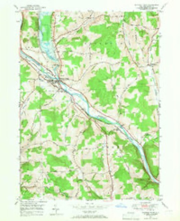
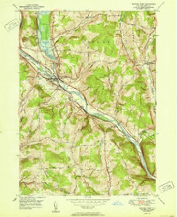
17 topographic sheets cover this place, the earliest surveyed in 1904 and the latest in 1985. It stands in Triangle town. It lies in ZIP code area 13746. It stands on Ticknor Brook. The Survey maps it on the Whitney Point quadrangle.
Then and now
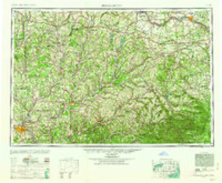
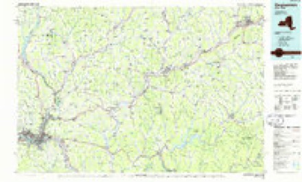
1904 to 1985The same ground, surveyed 81 years apart. Drag the handle to wipe between them. Both sheets are United States Geological Survey originals; neither has been altered.
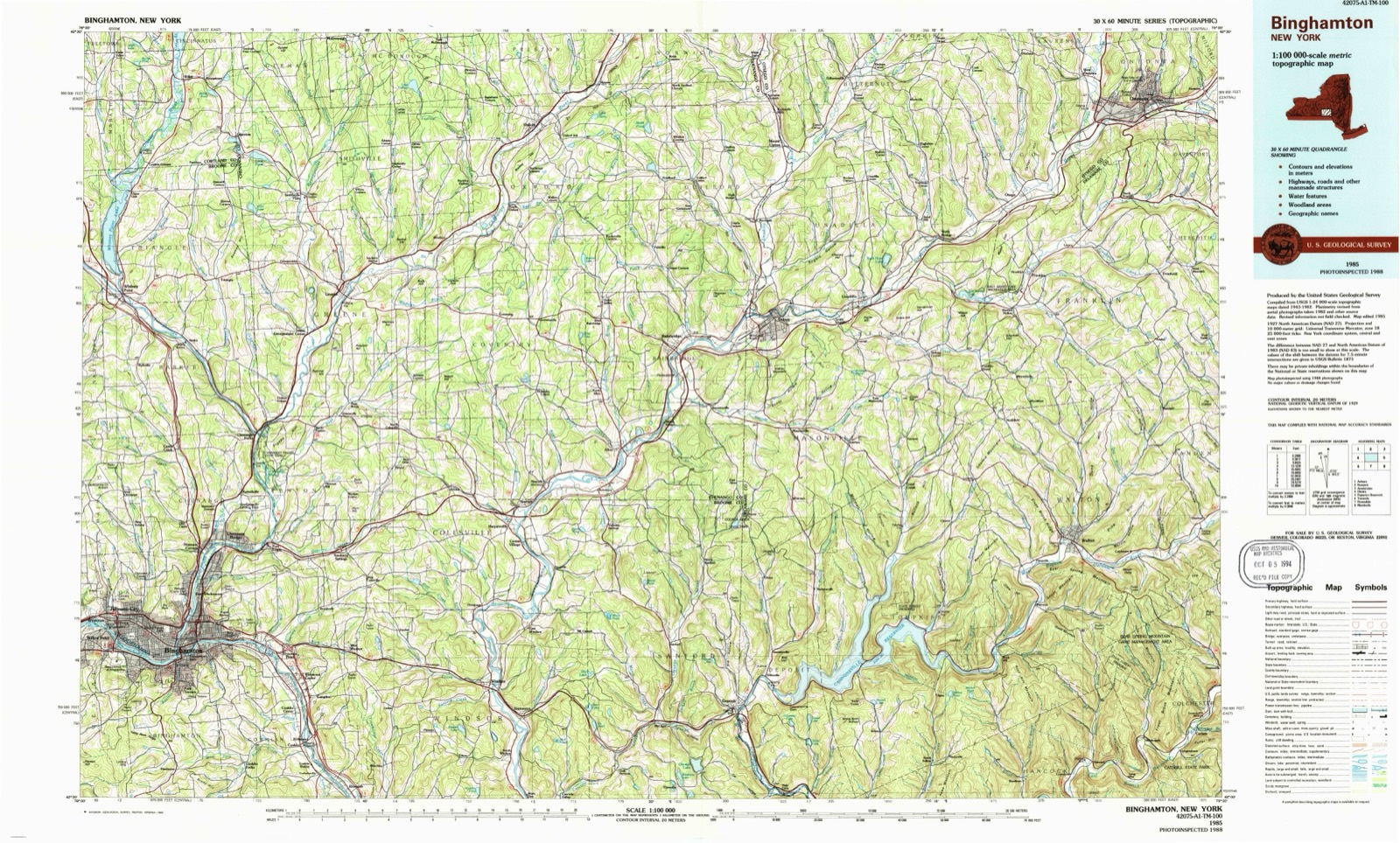
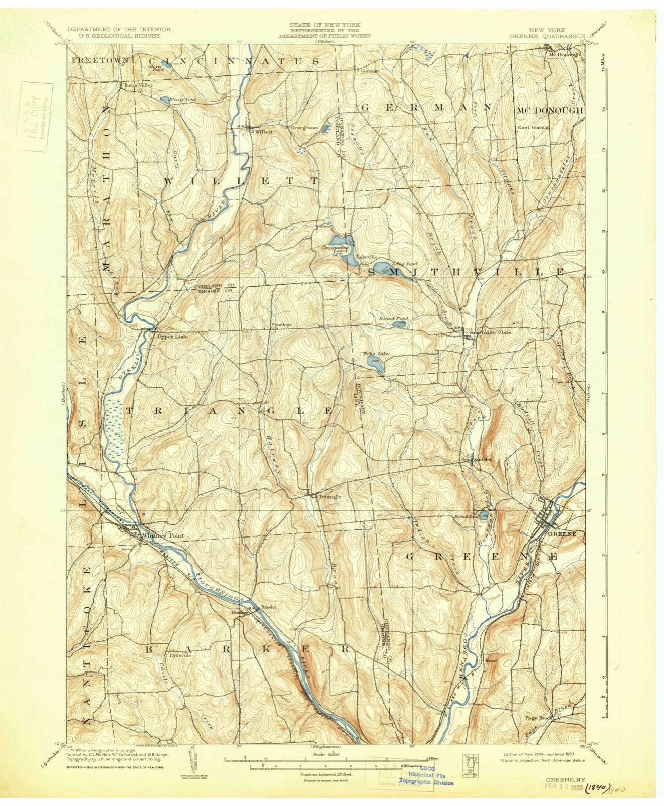
Topographic sheets covering this place
8 surveys from 17 printed sheetsMatched by testing this settlement's coordinate against the published boundary of every sheet in the United States Geological Survey's historical collection. Each opens the scanned sheet at the Survey.
- 1904 USGS Greene quadrangle1:62500, 6 printings
- 1948 USGS Binghamton quadrangle1:250000
- 1949 USGS Whitney Point quadrangle1:24000, 3 printings
- 1950 USGS Binghamton quadrangle1:250000, 2 printings
- 1951 USGS Whitney Point quadrangle1:24000
- 1958 USGS Binghamton quadrangle1:250000
- 1963 USGS Binghamton quadrangle1:250000
- 1985 USGS Binghamton quadrangle1:100000, 2 printings
Fires near this place
86 since 1992Regional context, not property-specific evidence. The federal wildfire occurrence database lists 86 fires within 5 miles of Triangle between 1992 and 2020, burning about 110 acres in total. 7 started naturally. 7 were recorded as arson. Distance is straight-line from the map coordinates, so a fire counted here may appear on a neighbouring settlement's page as well.
| Reported cause | Fires |
|---|---|
| Missing data/not specified/undetermined | 26 |
| Debris and open burning | 26 |
| Equipment and vehicle use | 8 |
| Smoking | 8 |
| Arson/incendiarism | 7 |
| Natural | 7 |
| Recreation and ceremony | 3 |
| Other causes | 1 |
The most recent of them, most recent first, with the day each was reported and the service that recorded it.
| Date | Cause | Size | Reported by | Name on the report |
|---|---|---|---|---|
| 23 September 2005 | Natural | under an acre | Fire Department of New York | not named |
| 1 September 2005 | Missing data/not specified/undetermined | under an acre | Fire Department of New York | not named |
| 23 August 1995 | Debris and open burning | 2.0 acres | New York Forest Rangers | not named |
| 2 August 2002 | Equipment and vehicle use | under an acre | Fire Department of New York | not named |
| 3 July 2016 | Smoking | under an acre | Fire Department of New York | N/A |
| 23 July 1999 | Debris and open burning | 1.0 acres | New York Forest Rangers | not named |
| 1 July 2018 | Smoking | under an acre | Fire Department of New York | N/A |
| 27 June 2007 | Missing data/not specified/undetermined | under an acre | Fire Department of New York | not named |
Settlements close enough to share some of these fires:
Storms near this place
18 since 1994Regional context, not property-specific evidence. The National Weather Service names Triangle in 18 storm reports between 1994 and 2022: 12 thunderstorm wind, 2 hail, 2 flash flood, 1 flood. No death or injury is recorded in these reports. Each account below is quoted exactly as the forecast office filed it, from the NOAA Storm Events Database, and each date opens the federal record of that event.
| When | Event | Place named | Harm | What the report says |
|---|---|---|---|---|
| July 1997 | Thunderstorm Wind | Triangle | $90,000 | A bow echo type severe thunderstorm developed across northern sections of Broome county. The storm inflicted widespread wind damage in an area bounded by Whitney Point, Itaska, and Castle Creek shortly before 200 pm. The majority of the damage occurred in the town of Triangle. Numerous large trees were uprooted and utility poles were downed. Also, a small garage was blown down and an idled tractor trailer on Interstate 81 was toppled over. |
| July 1998 | Flash Flood | Triangle | $75,000 | A cluster of nearly stationary showers and thunderstorms developed over far northern sections of the county during the midday period. Rainfall amounts of 1.5 to 2.5 inches occurred in less than two hours in this vicinity and resulted in flash flooding given already wet soil conditions. In the town of Triangle, Page Brook left its banks after 12 noon EDT. Sections of route 26 just east of Whitney Point Reservoir had to be closed for several hours as nearly two feet of water covered the roadway. Further upstream, a few homes along Page Brook Road had severe basement flooding as well. By mid afternoon, showers and storms had diminished with water levels on the decline. |
| July 2003 | Thunderstorm Wind | Triangle | $15,000 | Thunderstorm winds caused numerous trees and wires to come down on North Street in the town of Triangle. A few minutes later in the Chenango Valley State Park numerous trees were downed and uprooted. At the park several close calls occurred when limbs and trees fell on cars and campers. Also at the park the golf course had to be closed for one day to remove fallen trees and limbs. Ten miles of park hiking trails were closed for about a week when 60 to 80 trees along the outer trail. More than 1000 people were spending the holiday in the Chenango Valley State Park when the storm hit. 1400 electric customers lost power due to downed lines. |
| July 1997 | Thunderstorm Wind | Triangle | $10,000 | A thunderstorm briefly became severe over northern portions of the county. Downburst winds downed several trees and power lines in the Triangle area. |
| June 1995 | Thunderstorm Wind | Triangle | $7,000 | no account filed |
| August 2004 | Lightning | Triangle | $5,000 | Lightning hit a maple tree in the yard of a house on Bull Creek Road in the town of Triangle. A large section of the tree broke off, dislodging a television cable wire then landing on the porch. Most of the porch was caved in. |
| June 2002 | Flood | Triangle | $5,000 | A mudslide due to heavy thunderstorm rain blocked a portion of road at East Hill and Merrill Creek Roads. |
| July 1994 | Thunderstorm Wind | Triangle | $5,000 | Severe thunderstorms moved across eastern New York on the afternoon and evening of July 7th as a stationary front lay across the Mohawk Valley. Thunderstorm winds downed trees and powerlines in many areas while intense lightning started several fires and killed a man in Albany. In addition torrential downpours resulted in some flash flooding as well as flooding of poorly drained low lying areas. Among the areas hardest hit were the Capital District Region where over 10,000 customers were left without electricity. In Albany a 34 year-old man was struck and killed by lightning as he was holding a metal weed trimmer, while a horse standing in a field near a tree was struck and killed by lightning in Fort Ann. Other areas hard hit included Saugerties, Norwich, Leonarrowdsville, and Kingsbury where numerous trees were downed some of which fell on cars and homes. Urban Flooding was reported in Mechanicville and Hudson Falls as storm drains backed up. While flash flooding occurred in Tioga County where many creeks were out of their banks and in northern Sullivan County where up to two feet of water was across roads from Roscoe to Lake Muskoday to Basket and trees were downed by flood waters. M34O |
| June 1994 | Thunderstorm Wind | Triangle | $5,000 | no account filed |
| July 2022 | Thunderstorm Wind | Triangle | $3,000 | Strong thunderstorm winds knocked down trees and wires on Route 206 between Whitney Point and Triangle. |
| August 1995 | Thunderstorm Wind | Triangle | $3,000 | no account filed |
| August 1995 | Thunderstorm Wind | Triangle | $3,000 | no account filed |
| May 2008 | Thunderstorm Wind | Triangle | $2,000 | Trees and wires were blown down. |
| June 2007 | Thunderstorm Wind | Triangle | - | Trees were blown down in Triangle. |
| July 2007 | Thunderstorm Wind | Triangle | - | A large limb was blown down. |
| June 2001 | Flash Flood | Triangle | - | Emergency management officials reported flash flooding from heavy thunderstorm rains along Water Street in Castle Creek. A bridge was partially washed out in the town of Triangle. |
| June 1997 | Hail | Triangle | - | A slow moving thunderstorm briefly intensified to severe levels across northern Broome county. The cell produced large hail in the town of Triangle. Shortly after this occurrence, the thunderstorm weakened as it gradually pushed westward. |
| July 2010 | Hail | Triangle | - | no account filed |
Nearest settlements
The eight closest, with where each one stands in the county. Distances are straight-line, computed from the Geographic Names Information System coordinates.
| Map | Place | Distance | Sheets |
|---|---|---|---|
| Itaska | 3.2 miles | 17 | |
| Dorchester Estates | 4.6 miles | 17 | |
| Whitney Point | 4.7 miles | 17 | |
| Meadowbrooke Estates | 5.0 miles | 17 | |
| Penelope | 5.2 miles | 15 | |
| Hydeville | 5.4 miles | 17 | |
| Upper Lisle | 5.6 miles | 15 | |
| Lisle | 6.6 miles | 20 |
Provenance
This settlement is recorded in the Geographic Names Information System as feature 967799. The sheet list is computed by point-in-boundary test against the United States Geological Survey's historical topographic inventory. Both are works of the United States government and carry no copyright under 17 U.S.C. 105.
Wildfire. Short, Karen C. 2022. Spatial wildfire occurrence data for the United States, 1992-2020 [FPA_FOD_20221014]. 6th Edition. Fort Collins, CO: Forest Service Research Data Archive. https://doi.org/10.2737/RDS-2013-0009.6 Collected with United States Government funding and usable without additional permissions or fees.
Storms. NOAA National Centers for Environmental Information, Storm Events Database https://www.ncei.noaa.gov/stormevents/ A work of the United States government, no copyright under 17 U.S.C. 105. Narratives are quoted verbatim from the National Weather Service report and are not edited or summarised.