 Block
BlockVerona, New York
25 topographic sheets cover this place, the earliest surveyed in 1895 and the latest in 1985. It stands in Verona town. It lies in ZIP code area 13478. It stands on Stony Creek. The Survey maps it on the Verona quadrangle. 828 people lived here at the 2020 count. It stands 499 feet above sea level.
Then and now
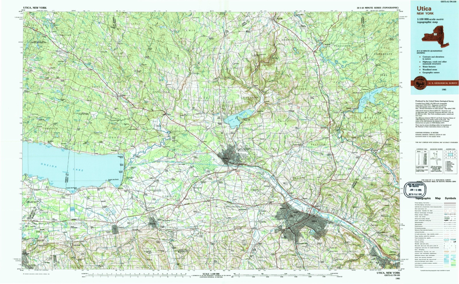
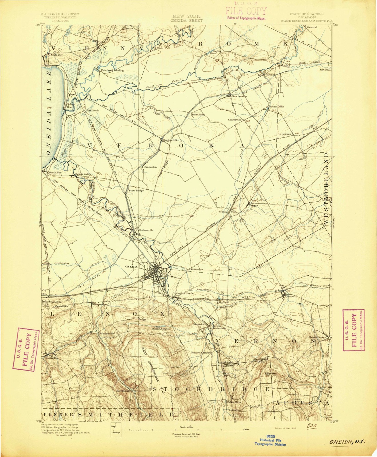
1895 to 1985The same ground, surveyed 90 years apart. Drag the handle to wipe between them. Both sheets are United States Geological Survey originals; neither has been altered.
Population over time
2 figuresVerona fell from 852 to 828 between 2010 and 2020. These are the recorded population figures Wikidata holds for this place, reached through the Geographic Names Information System number this page is keyed on rather than by name, so they belong to this place and not to another of the same name. Most are census counts, but not all are: an early figure may be a founding or settlement estimate, and an estimate published within five years of a census is left out. The change column is computed, and is left blank where more than 20 years separate a figure from the one before it, because a gap that long is not a change between two counts.
| Year | People | Change |
|---|---|---|
| 2010 | 852 | |
| 2020 | 828 | -24 (-3%) |
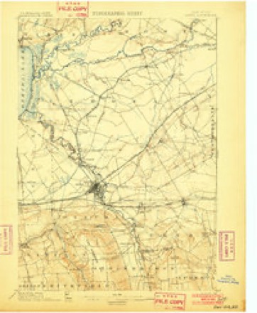
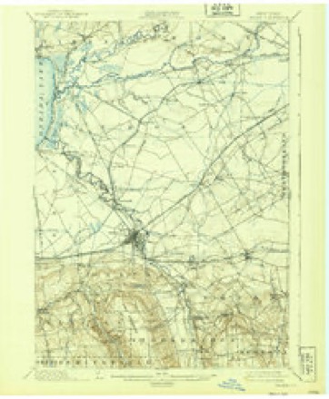
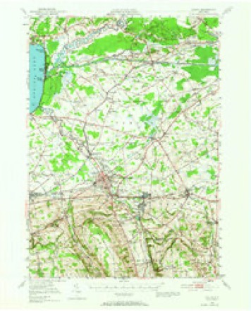
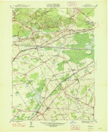
Topographic sheets covering this place
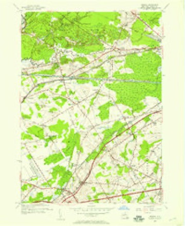
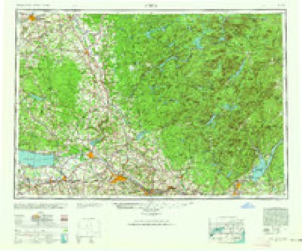
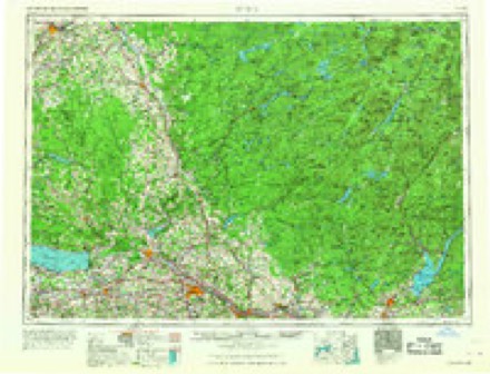
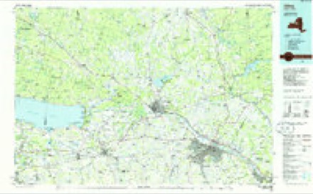
13 surveys from 25 printed sheetsMatched by testing this settlement's coordinate against the published boundary of every sheet in the United States Geological Survey's historical collection. Each opens the scanned sheet at the Survey.
- 1895 USGS Oneida quadrangle1:62500
- 1898 USGS Oneida quadrangle1:62500
- 1902 USGS Oneida quadrangle1:62500, 6 printings
- 1939 USGS Oneida quadrangle1:62500
- 1946 USGS Oneida quadrangle1:62500, 3 printings
- 1948 USGS Verona quadrangle1:24000
- 1950 USGS Utica quadrangle1:250000
- 1955 USGS Verona quadrangle1:24000, 3 printings
- 1957 USGS Utica quadrangle1:250000
- 1962 USGS Utica quadrangle1:250000, 3 printings
- 1964 USGS Utica quadrangle1:250000
- 1967 USGS Utica quadrangle1:250000
- 1985 USGS Utica quadrangle1:100000, 2 printings
Fires near this place
101 since 2000Regional context, not property-specific evidence. The federal wildfire occurrence database lists 101 fires within 5 miles of Verona between 2000 and 2020, burning about 82 acres in total. 18 started naturally. 17 were recorded as arson. Distance is straight-line from the map coordinates, so a fire counted here may appear on a neighbouring settlement's page as well.
| Reported cause | Fires |
|---|---|
| Missing data/not specified/undetermined | 46 |
| Natural | 18 |
| Arson/incendiarism | 17 |
| Debris and open burning | 12 |
| Smoking | 2 |
| Misuse of fire by a minor | 2 |
| Equipment and vehicle use | 2 |
| Power generation/transmission/distribution | 2 |
The most recent of them, most recent first, with the day each was reported and the service that recorded it.
| Date | Cause | Size | Reported by | Name on the report |
|---|---|---|---|---|
| 7 September 2015 | Arson/incendiarism | under an acre | Fire Department of New York | NA |
| 24 September 2016 | Natural | under an acre | Fire Department of New York | N/A |
| 22 September 2017 | Missing data/not specified/undetermined | under an acre | Fire Department of New York | N/A |
| 2 September 2018 | Natural | 3.1 acres | Fire Department of New York | N/A |
| 11 September 2005 | Missing data/not specified/undetermined | under an acre | Fire Department of New York | not named |
| 10 September 2012 | Natural | under an acre | Fire Department of New York | not named |
| 7 August 2012 | Missing data/not specified/undetermined | under an acre | Fire Department of New York | not named |
| 3 August 2015 | Missing data/not specified/undetermined | under an acre | Fire Department of New York | NA |
Settlements close enough to share some of these fires:
Mines and quarries near this place
2 within 5 milesRegional context, not property-specific evidence. The federal mineral resources record lists 2 workings within 5 miles of Verona: 2 past producers. None of them still produces. What was taken out: Iron. Distance is straight-line from the map coordinates, so a quarry counted here may appear on a neighbouring settlement's page as well.
| Where | Site | Commodity | Status | Recorded |
|---|---|---|---|---|
| Cagwin Farm | Iron | Past Producer | ||
| Klein Farm | Iron | Past Producer |
Storms near this place
36 since 1994Regional context, not property-specific evidence. The National Weather Service names Verona in 36 storm reports between 1994 and 2024: 18 thunderstorm wind, 13 hail, 2 tornado, 1 lightning. The reports record 1 death. Each account below is quoted exactly as the forecast office filed it, from the NOAA Storm Events Database, and each date opens the federal record of that event.
| When | Event | Place named | Harm | What the report says |
|---|---|---|---|---|
| May 2013 | Thunderstorm Wind | Verona | 1 killed | Thunderstorm winds blew a tree down, killing an elderly man. |
| September 1998 | Thunderstorm Wind | Verona | $10,000,000 | The derecho continued to progress quickly towards the east-southeast. It inflicted more widespread wind damage down the western Mohawk Valley. Tree and structural damage was quite common over central and southern sections of the county. Additional reports of large hail were also noted. Severe storms initially entered the county in Verona just before 200 am EDT. A large swath of trees was toppled or damaged just north of the Thruway and along route 31 near Verona Station and Dams Corners. Portions of route 31 became impassable as large tree limbs and power lines blocked the roadway. Further downstream from Westmoreland southward to the Waterville area, more extensive tree damage was seen. Several homes in Westmoreland suffered structural damage as large trees crashed through the roof or the garage. From roughly 215 to 220 am EDT, the storms tore through the Utica and New Hartford areas with considerable tree damage. In downtown Utica, many of the primary thoroughfares were closed through at least the morning hours on Labor Day as streets were covered with large tree limbs, downed wires, and warped traffic signals. A portion of Interstate 790 just north of Utica was also closed for a short time as a large road sign was toppled onto the highway. In New Hartford, a restaurant had its windows blown out with major damage to the kitchen and seating areas from flying glass and debris. Large hail to golf ball sized in diameter was observed in Clinton and Kirkland. Several automobiles had dents and other minor damage from the hailstones. Again, tens of thousands of customers spent most of Labor Day in the dark. Some homes and businesses in the harder hit areas of Utica and Waterville did not have power restored for up to 4 days. |
| July 1997 | Thunderstorm Wind | Verona | $100,000 | The same severe storm that caused damage in Madison county ripped through central Oneida county, producing additional and widespread wind damage. The storm first affected the towns of Verona and Camden, downing numerous large trees which blocked many roads. Around and shortly after 600 pm, more trees and wires were felled in Westmoreland and Whitesboro. In Westmoreland, two homes sustained damage from falling trees and also had a portion of their aluminum siding torn off. Further east, more fallen trees and wires affected Maynard and the greater Utica area before the storm exited the county. |
| August 2004 | Flash Flood | Verona | $50,000 | Heavy rain caused flash flooding. The rain washed out culverts around North Bay, and closed portions of State Route 49. Rainfall rates were estimated at 2 to 3 inches an hour. The area got 2 to 4 inches of rain. |
| July 2014 | Thunderstorm Wind | Verona | $15,000 | A roof was blown off of a residence on Route 26. |
| October 2004 | Thunderstorm Wind | Verona | $10,000 | Thunderstorm winds downed trees in the town of Verona and also in the the city of Rome. |
| August 2002 | Thunderstorm Wind | Verona | $10,000 | Thunderstorm winds took down numerous trees and wires. Towns included but were not limited to; Verona, Lee, Westernville, Boonville, and Forestport. A tree landed on a trailer in Boonville. |
| July 2014 | Thunderstorm Wind | Verona | $5,000 | Numerous small trees and branches were blown down at Fosters Corners Road and Sand Hill Road. A possible funnel cloud was also sighted. |
| May 2016 | Thunderstorm Wind | Verona | $3,000 | A severe thunderstorm developed over the region and produced severe wind damage. The wind forced a tree to become uprooted and a door to be blown into a storage building. |
| June 1995 | Thunderstorm Wind | Verona | $3,000 | no account filed |
| August 2023 | Thunderstorm Wind | Verona | $2,000 | Strong thunderstorm winds knocked down a tree and wires. |
| June 2021 | Thunderstorm Wind | Verona | $1,000 | Strong thunderstorm winds knocked down a large tree down across the road. |
| August 2017 | Hail | Verona | $1,000 | A thunderstorm developed over the area and produced golf ball sized hail. |
| August 2010 | Thunderstorm Wind | Verona | $1,000 | Trees were blown down in Verona. |
| August 2007 | Thunderstorm Wind | Verona | $1,000 | Trees were blown down. |
| August 2007 | Flood | Verona | $1,000 | Minor urban and small stream flooding occurred along routes 365 and 31. |
| July 1995 | Thunderstorm Wind | Verona | $1,000 | A couple of isolated severe thunderstorms developed over central New York producing hail and damaging thunderstorm winds across parts of Cortland and Onieda Counties. |
| July 2024 | Thunderstorm Wind | Verona | $500 | Strong thunderstorm winds knocked down a tree into a corn field. |
| June 2014 | Tornado (EF1) | Verona | - | A severe thunderstorm produced EF1 tornado damage in Verona. This tornado had a maximum path width of 250 yards and a path length of 11 miles. It produced estimated wind speeds of 100 MPH and damaged several homes and buildings. The tornado also destroyed several sheds and a barn with signs and fencing taken out by the storm. The tornado resulted in a chaotic and chopped up pattern along its long and narrow path. |
| September 2013 | Hail | Verona | - | Branches were also reported down and winds were estimated to be between 45 and 50 MPH. |
| August 2002 | Hail | Verona | - | Nickel size hail. |
| August 2001 | Lightning | Verona | - | Newspaper reports indicate that lightning started a house fire at Route 46 and Germany Road. The structure sustained significant damage to the attic and second floor during the fire. |
| August 2001 | Thunderstorm Wind | Verona | - | SKYWARN storm spotters reported some wires down following a thunderstorm. Newspaper clippings also indicated that several trees were uprooted across the area. 4000 to 5000 people were without power during and after the storm. Some minor flooding of poor drainage areas was also reported. |
| September 2000 | Thunderstorm Wind | Verona | - | Trees down |
| August 2000 | Thunderstorm Wind | Verona | - | Thunderstorm winds brought a few trees down on New London Road in Verona and on Wood Creek Road in New London. A tree also was blown onto a house on Route 50 in New London. |
| August 2023 | Hail | Verona | - | no account filed |
| June 2013 | Hail | Verona | - | no account filed |
| April 2011 | Hail | Verona | - | no account filed |
| August 2008 | Hail | Verona | - | no account filed |
| August 2007 | Hail | Verona | - | no account filed |
| August 2007 | Hail | Verona | - | no account filed |
| August 2007 | Hail | Verona | - | no account filed |
| July 2004 | Hail | Verona | - | no account filed |
| August 1996 | Hail | Verona | - | no account filed |
| August 1996 | Tornado (F0) | Verona | - | no account filed |
| June 1994 | Hail | Verona | - | no account filed |
Nearest settlements
The eight closest, with where each one stands in the county. Distances are straight-line, computed from the Geographic Names Information System coordinates.
| Map | Place | Distance | Sheets |
|---|---|---|---|
| Dams Corner | 0.7 miles | 25 | |
| Cagwin Corners | 0.8 miles | 25 | |
| Verona Station | 0.9 miles | 25 | |
| Blackmans Corners | 1.9 miles | 25 | |
| Willow Place | 2.0 miles | 25 | |
| Goodrich Corners | 2.4 miles | 25 | |
| Brewers Corner | 2.7 miles | 25 | |
| Agnes Corners | 3.2 miles | 25 |
Elsewhere
Matched on this settlement's Geographic Names Information System number rather than its name, so it cannot be a different place of the same name in another state.
| Wikipedia article on Verona | An encyclopaedic summary. Its text is share-alike, so it is linked here rather than copied. |
| Wikidata item Q20880880 | The structured record the population and elevation above come from. Public domain (CC0). |
Provenance
This settlement is recorded in the Geographic Names Information System as feature 968503. The sheet list is computed by point-in-boundary test against the United States Geological Survey's historical topographic inventory. Both are works of the United States government and carry no copyright under 17 U.S.C. 105.
Wildfire. Short, Karen C. 2022. Spatial wildfire occurrence data for the United States, 1992-2020 [FPA_FOD_20221014]. 6th Edition. Fort Collins, CO: Forest Service Research Data Archive. https://doi.org/10.2737/RDS-2013-0009.6 Collected with United States Government funding and usable without additional permissions or fees.
Mines and quarries. USGS Mineral Resources Data System (MRDS) https://mrdata.usgs.gov/mrds/ A work of the United States government, no copyright under 17 U.S.C. 105.
Storms. NOAA National Centers for Environmental Information, Storm Events Database https://www.ncei.noaa.gov/stormevents/ A work of the United States government, no copyright under 17 U.S.C. 105. Narratives are quoted verbatim from the National Weather Service report and are not edited or summarised.