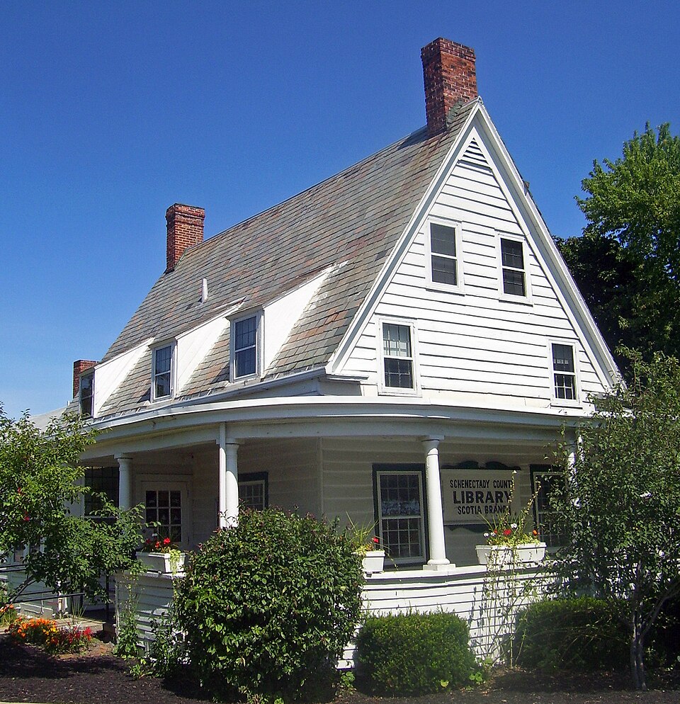
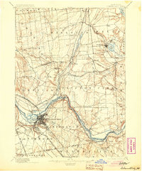
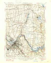
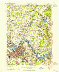
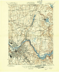
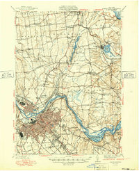
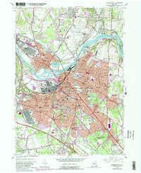
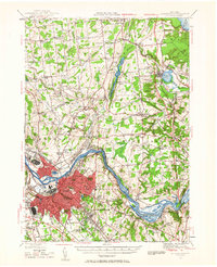
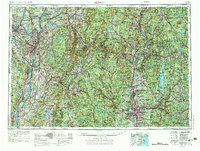
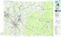
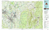
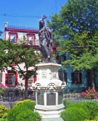
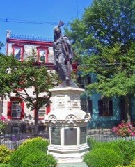
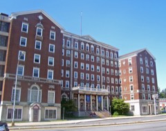
Built in 1730 (Dutch Colonial architecture in New Netherlands). Listed on the National Register of Historic Places in 2004. 16 historic topographic surveys show this location, the earliest from 1893.
From the record
“The Abraham Glen House is located on Mohawk Avenue in Scotia, New York, United States. It is a white frame house from the 18th century that is currently used as the local branch of the Schenectady County public library system.”
Wikipedia article Abraham Glen House, CC BY-SA 4.0.
One of 87 National Register listings published here for Schenectady County · listed in 2004 · category: Building · built in 1730, Dutch Colonial architecture in New Netherlands.
Architectural style. Dutch Colonial architecture in New Netherlands
National Register reference number.04000708- the number the National Park Service assigned this property when it was listed, and the key its nomination file is catalogued under at the National Archives.
Fires near this property
671 since 1995
Regional context, not property-specific
evidence. The
federal wildfire occurrence database
lists 671 fires within 5 miles of Abraham Glen House
between 1995 and 2020, burning about 444 acres in total. 37 started naturally. 141 were recorded as arson.
Distance is straight-line from the map coordinates, so a fire counted
here may appear on a neighbouring settlement's page as well.
Reported cause
Fires
Missing data/not specified/undetermined
336
Arson/incendiarism
141
Smoking
60
Debris and open burning
38
Natural
37
Misuse of fire by a minor
24
Equipment and vehicle use
22
Power generation/transmission/distribution
10
Recreation and ceremony
2
Other causes
1
The most recent of
them, most recent first, with the day each was reported and the service
that recorded it.
Regional context, not property-specific
evidence. The federal mineral resources record lists
4 workings within 5 miles of Abraham Glen House: 3 past producers, 1 producer.
1 still produces. What was taken out: Sand and Gravel, Construction. Distance is straight-line from the
map coordinates, so a quarry counted here may appear on a neighbouring
settlement's page as well.
Regional context, not property-specific
evidence. The National Weather Service names
Scotia, the town this property stands in, in 33 storm reports between 1995 and 2026: 22 thunderstorm wind, 7 flood, 1 hail, 1 heavy rain.
The reports record 1 injury. Each account below is quoted exactly as the forecast office
filed it, from the NOAA Storm Events Database, and each date
opens the federal record of that event.
The Mohawk River at the Freeman's Bridge at Schenectady went over its banks and led to minor flooding in the area. This included at Riverside Park where part of the parking lot and playground were covered in water.
NWS Albany received a report from a local news journalist that the SUNY Schenectady campus was closed due to flooding. Further investigation revealed that all classes were cancelled on the campus specifically due to ice jam flooding.
Water from an ice jam on the Mohawk River backed up into Riverside Park and portions of Schenectady's Stockade District near the river. Water covered Ingersoll Avenue and froze in place. The ice broke a basement window of a residence.
A brief EF0 tornado occurred in the village of Scotia. Although the tornado was on the ground for just under a quarter mile, it produced damage to trees and power lines on several village streets, especially 6th Street and Vley Road, where a large pine tree was uprooted. The tornado was also accompanied by a microburst, which produced additional wind damage through other portions of the village of Scotia.
A National Weather Service Storm Survey determined that a thunderstorm produced a damaging microburst within the village of Scotia. The microburst had a maximum width of 300 yards and extended along a path for nearly one half mile. Widespread damage to trees and power lines occurred for several village streets along the path of the microburst. In addition, a weak EF0 tornado accompanied the microburst as well.
Flooding occurred along the Mohawk River downstream from the Schoharie Creek. Route 5S was closed due to flooding from Interstate 890 to Route 103 in Rotterdam. Low-lying areas along the Mohawk River in Rotterdam Junction flooded and evacuations were necessary. The on- and off-ramp of Interstate 890 were closed between Exit 2 to Exit 5. Flooding occurred through the north side of the City of Schenectady flooding the Stockade and Erie Boulevard. The flood waters were waist-deep in the Stockade and it was reported that a number of houses may have been damaged beyond repair. In Scotia, Collins Park, Jumping Jacks and parts of Schenectady County Community College's campus were engulfed with waters from the Mohawk River. The Schoharie Crossing State Historic Site in Fort Hunter on Schoharie Street was severely damaged by flood waters. The basement and first floor Rotterdam Town Historian Dick Whalen's home on Main Street in Rotterdam Junction were inundated by flood waters badly damaging his 50-year old collection of photographs and historical archives. ||Damage occurred to New York State Erie Canal Locks E-9 (Rotterdam Junction) and E-8 (Scotia) in Schenectady County. Land was scoured at both locks to the north end of the dams.||Major flooding occurred on the Mohawk River at Schenectady. The Schenectady river gage located near the Freeman's Bridge exceeded its flood stage at 7:55 pm EST on August 28th, crested at 226.21 feet at 1:40 pm on August 29th and dropped below flood stage at 12:25 am August 30th.
Numerous tree limbs were reported down on various roads in Scotia due to strong thunderstorm winds. Some of the tree limbs took wires down and set off a couple of minor fires. Also, it was reported that one fallen tree ruptured a gas line, resulting in gas service being turned off to Vley Road in Glenville.
United States Geological Survey topographic
sheets whose coverage includes this point. Matched by taking the coordinate the National Park Service records for this property, then
testing that coordinate against the published boundary of every sheet.
Other National Register properties close
enough to walk or drive between, ordered by distance from this one. Both
positions come from the same geocoding pass that matched these properties
to their map sheets.
Listing record. National Park Service National Register of Historic Places, listed-properties dataset, current to 2026-05-22.
Map join. Address geocoded through the United States Census geocoder, then tested against the published boundary of every sheet in the USGS Historical Topographic Map Collection.
How this page is made. Listing fields come from federal records; map-sheet coverage is a labelled coordinate-to-boundary calculation, not a source-field claim.
Wildfire. Short, Karen C. 2022. Spatial wildfire occurrence data for the United States, 1992-2020 [FPA_FOD_20221014]. 6th Edition. Fort Collins, CO: Forest Service Research Data Archive. https://doi.org/10.2737/RDS-2013-0009.6 Collected with United States Government funding and usable without additional permissions or fees.
Mines and quarries. USGS Mineral Resources Data System (MRDS) https://mrdata.usgs.gov/mrds/ A work of the United States government, no copyright under 17 U.S.C. 105.
Storms. NOAA National Centers for Environmental Information, Storm Events Database https://www.ncei.noaa.gov/stormevents/ A work of the United States government, no copyright under 17 U.S.C. 105. Narratives are quoted verbatim from the National Weather Service report and are not edited or summarised.
 Block
Block