BlockBefore
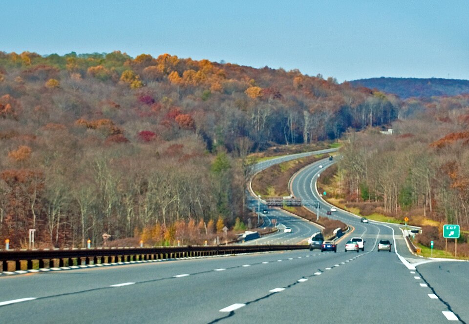
Photograph of Taconic State Parkway
Photograph by Phillip Capper from Wellington, New Zealand. Cropped and color-corrected by Daniel Case 2009-12-31 prior to upload, CC BY 2.0. Via Wikimedia Commons.

Taconic State Parkway

Built in 1925. Listed on the National Register of Historic Places in 2005. 12 historic topographic surveys show this location, the earliest from 1899.

From the record

“The Taconic State Parkway is a 104.12-mile (167.56 km) limited-access parkway between Kensico Dam and Chatham, the longest in the U.S. state of New York. It follows a generally north-south route midway between the Hudson River and the Connecticut and Massachusetts state lines, much of its upper section along the westernmost flank of the Taconic Mountains.”

Wikipedia article Taconic State Parkway, CC BY-SA 4.0.

One of 155 National Register listings published here for Columbia County · listed in 2005 · category: District · built in 1925.

Sources: the Wikipedia article · the case file at the National Archives · the National Register database, National Park Service

The listing

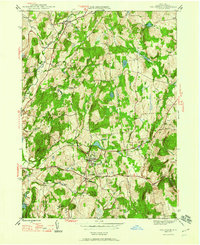
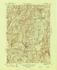
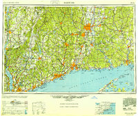
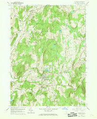
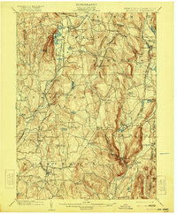
Maps showing this location

12 surveys

United States Geological Survey topographic sheets whose coverage includes this point. Matched by taking the middle of the area the National Park Service maps for this listing, then testing that coordinate against the published boundary of every sheet.

Sources for this property

National Archives recordThe nomination case file for reference 05001398 in Record Group 79.
Wikipedia articleCommunity-written account of this property, licensed CC BY-SA.
Columbia CountyAll 155 listed properties in this county.

Provenance

  • Listing record. National Park Service National Register of Historic Places, listed-properties dataset, current to 2026-05-22.
  • Map join. Address geocoded through the United States Census geocoder, then tested against the published boundary of every sheet in the USGS Historical Topographic Map Collection.
  • How this page is made. Listing fields come from federal records; map-sheet coverage is a labelled coordinate-to-boundary calculation, not a source-field claim.