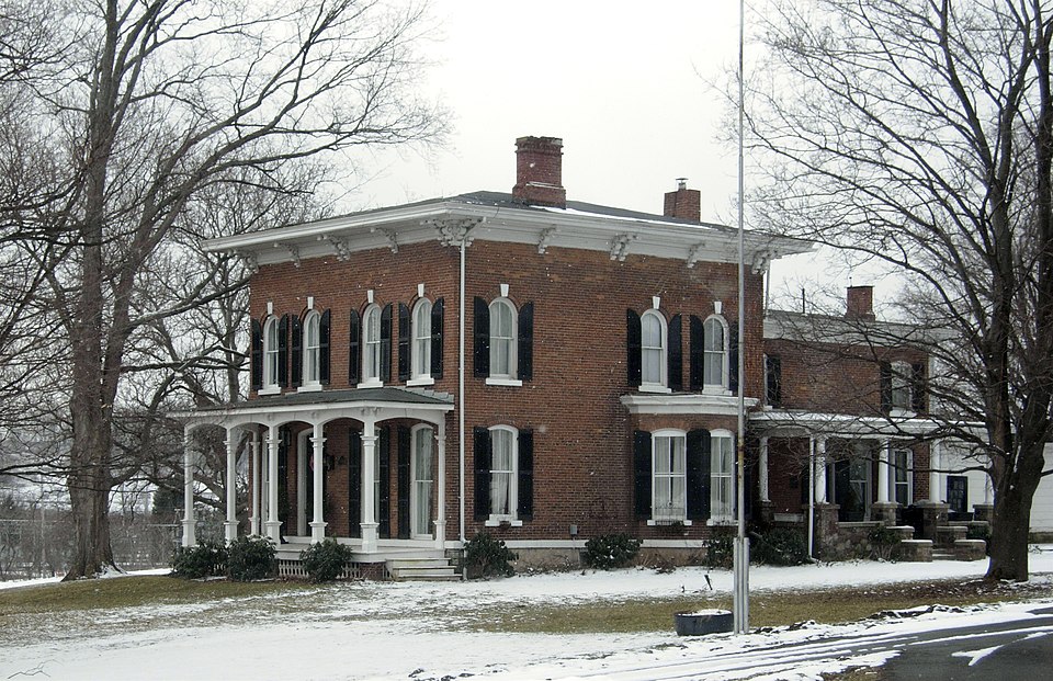
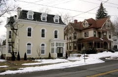
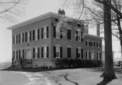
National Register reference number.07000631- the number the National Park Service assigned this property when it was listed, and the key its nomination file is catalogued under at the National Archives.
Fires near this property
186 since 2000
Regional context, not property-specific
evidence. The
federal wildfire occurrence database
lists 186 fires within 5 miles of Crego, Mrs.. I.L., House
between 2000 and 2020, burning about 88 acres in total. 9 started naturally. 18 were recorded as arson.
Distance is straight-line from the map coordinates, so a fire counted
here may appear on a neighbouring settlement's page as well.
Reported cause
Fires
Missing data/not specified/undetermined
105
Equipment and vehicle use
20
Debris and open burning
20
Arson/incendiarism
18
Natural
9
Smoking
7
Misuse of fire by a minor
3
Recreation and ceremony
2
Other causes
2
The most recent of
them, most recent first, with the day each was reported and the service
that recorded it.
Regional context, not property-specific
evidence. The federal mineral resources record lists
1 working within 5 miles of Crego, Mrs.. I.L., House: 1 producer.
All of them still produce. What was taken out: Bloating Material. Distance is straight-line from the
map coordinates, so a quarry counted here may appear on a neighbouring
settlement's page as well.
Regional context, not property-specific
evidence. The National Weather Service names
Baldwinsville, the town this property stands in, in 14 storm reports between 1994 and 2017: 8 thunderstorm wind, 3 flash flood, 2 hail, 1 lightning.
The reports record 3 deaths and 7 injuries. Each account below is quoted exactly as the forecast office
filed it, from the NOAA Storm Events Database, and each date
opens the federal record of that event.
The derecho that caused extensive wind damage upstream in both Cayuga and Seneca counties continued eastward across Onondaga county. Widespread structural damage resulted and tens of thousands of trees were toppled in northern portions of the county. Direct human impact was also felt. Two fatalities and seven injuries occurred at the New York State Fairgrounds in Geddes. The bow echo complex first entered northwestern sections of the county just after 100 am EDT. It initially tore through the Baldwinsville area, leaving many streets littered with downed trees and utility poles. The storms progressed rapidly towards the east-southeast and affected an area from Clay across Onondaga Lake to Camillus and Geddes from 115 to 120 am EDT. Severe damage was inflicted upon the State Fairgrounds in Geddes. Most of the temporary holding structures or tents on the premises were either completely destroyed or sustained heavy damage. Unfortunately, two individuals who were camping out before the last day of the New York State Fair died that night. A 26 year old man was killed when he was struck by flying debris from a nearby building. A 38 year old man, who was a vendor at the Fair, was killed when a large tree fell upon the tent where he was sleeping. Seven other individuals had minor injuries, mostly cuts and scrapes from flying glass. Three large flag poles at the entrance to the Fairgrounds were bent to almost a 45 degree angle from the force of the wind. Many permanent buildings had roofs torn off, windows blown out, or siding severely damaged from felled trees. In Marcellus and Camillus Townships, an estimated thousands of trees were blown down just in this area alone. The Onondaga Hill section appeared to take on particularly severe damage with most roadways rendered completely impassable from downed trees and live wires. Several homes also had various degrees of siding and roof damage in this vicinity, mainly from falling trees. The storms then took aim on the Syracuse metropolitan area. From approximately 125 to 135 am EDT, the city of Syracuse felt the brunt of the derecho. An estimated many thousands of trees were toppled or damaged throughout the city. One of the hardest hit sections was the Thornden Park area near Syracuse University. In addition to tree damage, there was substantial structural damage (primarily roofs) to nearby homes and buildings. Another fatality occurred in this vicinity when a large tree crashed through the roof of a home and struck an elderly woman who was sleeping. She later died from extensive head injuries. A textile factory had its roof almost completely torn away and many housing units for students at Syracuse University had blown out windows or damaged sections of the roof. St. Lucy's Church, a sturdy brick structure, was nearly destroyed when its western steeple collapsed. Many windows were also blown in at the University Hospital. On the north side of town, an official wind gust to 75 mph was recorded at Hancock International Airport. The storms maintained their intensity as they moved rapidly through the eastern suburbs. Large hail to one inch in diameter was observed by a skywarn spotter in Manlius. Another spotter in DeWitt measured a wind gust of 75 mph. Much in the way of downed trees and structural damage was again reported. A strip mall and fire station both in the town of Manlius had their roofs entirely torn off. Two large antennas just south of Interstate 481 in DeWitt collapsed and interrupted local radio broadcasts. In all, the financial toll from damage fell just short of 100 million dollars. The final day of the New York State Fair was cancelled and the National Guard was called on to help with the cleanup efforts. Onondaga county ultimately qualified for federal disaster funds after officials toured the area and reviewed post-storm damage surveys. These surveys revealed a damage swath 10 to 12 miles long and nearly 30 miles wide. Estimated peak wind gusts were near 115 mph. Hundreds of thousands of people were without power for much of Labor Day. Some customers did not have their power restored for the better part of a week.
The county reported permanent damage to over 250 roads in the county, with most of the damage centered on the Syracuse area. Several roads were totally washed out, and the City of Syracuse described the urban flash flooding as major. Most roads in the county experienced degrees of flooding from ponding to major flooding and roadway breakdown. Standing water remained and closed several road intersections for several days afterward.
A severe thunderstorm crossed into northwestern Onondaga county and produced widespread wind damage in the town of Baldwinsville. Several large trees were uprooted and utility poles were knocked down across numerous roadways.
A severe thunderstorm moved across northern sections of the county. Trees and wires were blown down in and around Baldwinsville between 2:15 and 2:30 pm EDT.
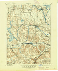
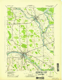
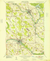
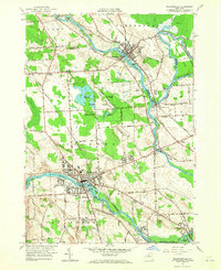
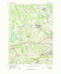
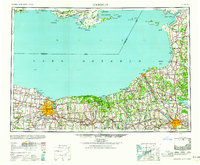
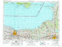
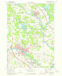
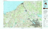
United States Geological Survey topographic
sheets whose coverage includes this point. Matched by taking the coordinate the National Park Service records for this property, then
testing that coordinate against the published boundary of every sheet.
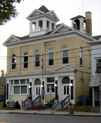
Other National Register properties close
enough to walk or drive between, ordered by distance from this one. Both
positions come from the same geocoding pass that matched these properties
to their map sheets.
Listing record. National Park Service National Register of Historic Places, listed-properties dataset, current to 2026-05-22.
Map join. Address geocoded through the United States Census geocoder, then tested against the published boundary of every sheet in the USGS Historical Topographic Map Collection.
How this page is made. Listing fields come from federal records; map-sheet coverage is a labelled coordinate-to-boundary calculation, not a source-field claim.
Wildfire. Short, Karen C. 2022. Spatial wildfire occurrence data for the United States, 1992-2020 [FPA_FOD_20221014]. 6th Edition. Fort Collins, CO: Forest Service Research Data Archive. https://doi.org/10.2737/RDS-2013-0009.6 Collected with United States Government funding and usable without additional permissions or fees.
Mines and quarries. USGS Mineral Resources Data System (MRDS) https://mrdata.usgs.gov/mrds/ A work of the United States government, no copyright under 17 U.S.C. 105.
Storms. NOAA National Centers for Environmental Information, Storm Events Database https://www.ncei.noaa.gov/stormevents/ A work of the United States government, no copyright under 17 U.S.C. 105. Narratives are quoted verbatim from the National Weather Service report and are not edited or summarised.
 Block
Block