Block
BlockFrom the record
One of 52 National Register listings published here for Washington County · listed in 2017 · category: Site.
Sources: the National Register database, National Park Service
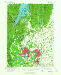
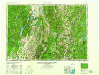
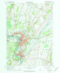
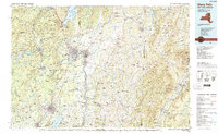
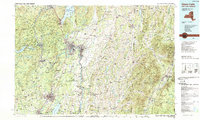
Listed on the National Register of Historic Places in 2017. 12 historic topographic surveys show this location, the earliest from 1895.
One of 52 National Register listings published here for Washington County · listed in 2017 · category: Site.
Sources: the National Register database, National Park Service
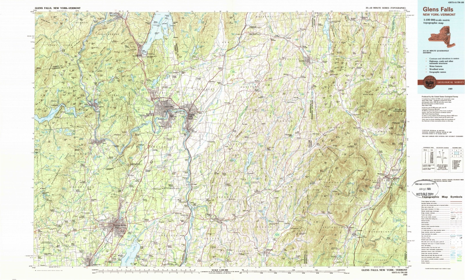
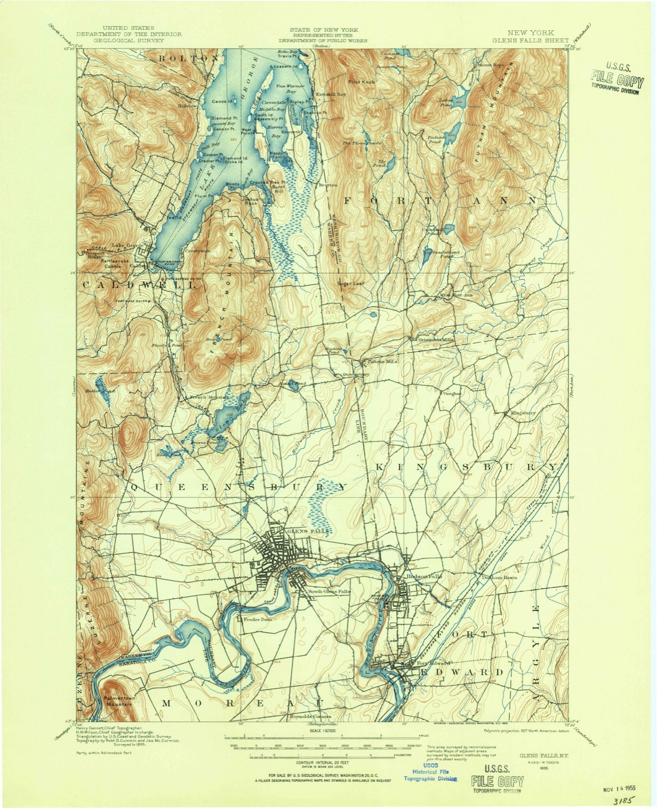
The ground this property stands on, surveyed 94 years apart. Drag the handle to wipe between them. Both sheets are United States Geological Survey originals; neither has been altered.
Regional context, not property-specific evidence. The federal wildfire occurrence database lists 354 fires within 5 miles of Moss Street Cemetery between 1996 and 2020, burning about 260 acres in total. 19 started naturally. 65 were recorded as arson. Distance is straight-line from the map coordinates, so a fire counted here may appear on a neighbouring settlement's page as well.
| Reported cause | Fires |
|---|---|
| Missing data/not specified/undetermined | 179 |
| Arson/incendiarism | 65 |
| Smoking | 30 |
| Natural | 19 |
| Equipment and vehicle use | 16 |
| Recreation and ceremony | 15 |
| Debris and open burning | 14 |
| Misuse of fire by a minor | 9 |
| Power generation/transmission/distribution | 5 |
| Railroad operations and maintenance | 2 |
The most recent of them, most recent first, with the day each was reported and the service that recorded it.
| Date | Cause | Size | Reported by | Name on the report |
|---|---|---|---|---|
| 9 September 2015 | Missing data/not specified/undetermined | under an acre | Fire Department of New York | N/A |
| 6 September 2007 | Missing data/not specified/undetermined | under an acre | Fire Department of New York | not named |
| 3 September 2007 | Natural | under an acre | Fire Department of New York | not named |
| 29 September 2016 | Smoking | under an acre | Fire Department of New York | N/A |
| 27 September 2014 | Missing data/not specified/undetermined | under an acre | Fire Department of New York | N/A |
| 24 September 2020 | Equipment and vehicle use | 2.9 acres | Fire Department of New York | NA |
| 24 September 2015 | Smoking | 1.1 acres | Fire Department of New York | NA |
| 23 September 2018 | Recreation and ceremony | under an acre | Fire Department of New York | N/A |
Regional context, not property-specific evidence. The federal mineral resources record lists 13 workings within 5 miles of Moss Street Cemetery: 10 past producers, 3 producers. 3 still produce. What was taken out: Limestone, General, Sand and Gravel, Construction, Stone, Crushed/Broken, Marble, Dimension. Distance is straight-line from the map coordinates, so a quarry counted here may appear on a neighbouring settlement's page as well.
| Where | Site | Commodity | Status | Recorded |
|---|---|---|---|---|
| Morgan Lumber & Lime Company Quarry | Limestone, General, Marble, Dimension | Past Producer | 1882, 1975 | |
| Chestertown Quarry | Stone, Crushed/Broken | Past Producer | ||
| Glen Falls Quarry & Cement Plant | Stone, Crushed/Broken | Producer | ||
| Chesterton Gravel Pit | Sand and Gravel, Construction | Producer | ||
| Iuliucci Pit | Sand and Gravel, Construction | Past Producer | ||
| Johnson Pit | Sand and Gravel, Construction | Past Producer | ||
| O'Conner Gravel Pit | Sand and Gravel, Construction | Producer | ||
| Chestertown Quarry | Limestone, General | Past Producer | Sedimentary | |
| Glens Falls Quarry | Limestone, General | Past Producer | Sedimentary | |
| Glens Falls Quarry | Limestone, General | Past Producer | Sedimentary |
Regional context, not property-specific evidence. The National Weather Service names Hudson Falls, the town this property stands in, in 39 storm reports between 1994 and 2024: 24 thunderstorm wind, 7 hail, 4 flood, 3 flash flood. No death or injury is recorded in these reports. Each account below is quoted exactly as the forecast office filed it, from the NOAA Storm Events Database, and each date opens the federal record of that event.
| When | Event | Place named | Harm | What the report says |
|---|---|---|---|---|
| September 2007 | Lightning | Hudson Falls | $200,000 | Lightning struck a home on Fourth Street in Hudson Falls at approximately 1745 LST. The lightning is believed to have struck a cable antenna on the roof, which consequently started a fire and then spread.||The fire caused extensive damage to the house. |
| July 2001 | Thunderstorm Wind | Hudson Falls | $100,000 | no account filed |
| April 2011 | Flood | South Hudson Falls | $53,000 | Flooding occurred along the Hudson River in Washington County. Numerous roadways, houses and riverside camps were flooded. Some properties had several feet of water in them. ||In the Village of Fort Edward, properties were flooded on the east bank of the river|and on Rogers Island. Sandbags were used to protect some residences. The Idle Hour Social Club on Rogers Island was under several feet of water along with several vehicles in the parking lot. Underwood Park was completely submerged. Washington County Emergency Management Services reported the evacuation of about 16 residences not including commercial buildings due to rising waters. Despite sandbagging efforts, several residences were flooded. ||Route 29, Ferry Road, was closed between Route 4/32 in Schuylerville and County Route 113, River Road, in Washington County. |
| July 2001 | Hail | Hudson Falls | $8,000 | no account filed |
| July 1999 | Thunderstorm Wind | Hudson Falls | $7,000 | no account filed |
| June 1994 | Thunderstorm Wind | Hudson Falls | $5,000 | no account filed |
| July 1994 | Thunderstorm Wind | Hudson Falls | $5,000 | no account filed |
| July 2003 | Thunderstorm Wind | Hudson Falls | $1,000 | no account filed |
| May 2024 | Thunderstorm Wind | Hudson Falls | - | A tree was downed on Ferry Street in Hudson Falls. |
| May 2024 | Thunderstorm Wind | Hudson Falls | - | A tree fell onto a house on Walnut Street in Hudson Falls. |
| May 2024 | Thunderstorm Wind | Hudson Falls | - | A wire was downed along Notre Dame Street in the Town of Kingsbury. |
| May 2024 | Thunderstorm Wind | Hudson Falls | - | Trees and wires were downed along Vaughn Road in the Town of Kingsbury. |
| August 2024 | Thunderstorm Wind | Hudson Falls | - | A member of the public reported a tree down on Lower Main Street in Fort Edward. |
| August 2024 | Thunderstorm Wind | Hudson Falls | - | A local 911 call center reported trees and wires down on East Labarge Street in Hudson Falls. |
| July 2024 | Thunderstorm Wind | Hudson Falls | - | Trees and wires were downed throughout the Village of Hudson Falls including McDowell Street, Boulevard, Walnut Street, River Street, Feeder Street, Hudson Place, Notre Dame Street, Parkwood Avenue, Jones Avenue, William Street, Mechanic Street, Ferry Street, Pearl Street, King Avenue, School Street, Ridge Street, Pine Street, Main Street, East LaBarge Street, Brook Road, Lincoln Street and Franklin Street. Some of these trees and wires fell onto vehicles or residential structures. |
| July 2024 | Thunderstorm Wind | Hudson Falls | - | Several trees and wires were downed in the Town of Kingsbury including on County Line Road, Helen Street, Quarry Crossing, Deer Run Drive, Birchwood Avenue, Dix Avenue, State Route 196, Tenth Avenue, Vaughn Road, Wait Road and Dean Road. A couple of these trees fell onto residential structures. |
| September 2021 | Thunderstorm Wind | Hudson Falls | - | An emergency manager reported a tree on wires and a tree on a residence on Catherine Street in Hudson Falls. |
| May 2019 | Flood | Hudson Falls | - | Flooding was reported on Feeder Street. |
| August 2018 | Thunderstorm Wind | South Hudson Falls | - | Trees and wires were downed on Burgoyne Avenue. |
| May 2017 | Thunderstorm Wind | Hudson Falls | - | Gust measured at Glens Falls New York State Mesonet site. |
| May 2017 | Thunderstorm Wind | South Hudson Falls | - | Power lines were reported down on McIntyre Street. |
| July 2017 | Flash Flood | Hudson Falls | - | Multiple roads were closed due to flooding in Fort Edward and Hudson Falls. |
| February 2016 | Flood | Hudson Falls | - | The intersection of Route 196 and James Street in Hudson Falls was flooded due to heavy rainfall occurring over a frozen ground. |
| July 2016 | Thunderstorm Wind | Hudson Falls | - | Power lines were reported down on County Route 32 (Dix Avenue) in Hudson Falls due to thunderstorm winds. |
| July 2015 | Hail | Hudson Falls | - | Quarter size hail was reported during a thunderstorm in Hudson Falls. The hail accumulated on the ground. A truck was reported to have small dents as a result of the hail. An outdoor table also had a hole cracked in it due to the hail as well. |
| July 2015 | Thunderstorm Wind | Hudson Falls | - | Multiple trees were downed throughout Hudson Falls as a result of thunderstorm winds. Outdoor tables were also blown across a roadway due to the winds. |
| June 2015 | Thunderstorm Wind | Hudson Falls | - | One tree was downed in Hudson Falls due to thunderstorm winds. |
| June 2015 | Thunderstorm Wind | Hudson Falls | - | Wires were reported down on Pearl Street in Hudson Falls due to thunderstorm winds. |
| June 2014 | Thunderstorm Wind | Hudson Falls | - | Trees and wires were reported down in Hudson Falls as a result of thunderstorm winds. |
| August 2014 | Hail | Hudson Falls | - | Quarter size hail was reported in Hudson Falls during a thunderstorm. |
| July 2014 | Thunderstorm Wind | South Hudson Falls | - | Trees and wires were reported down in Fort Edward due to thunderstorm winds. |
| July 2013 | Flash Flood | Hudson Falls | - | Several streets, including portions of John Street and State Route 196, in Hudson Falls were closed due to flash flooding from heavy rainfall. |
| May 2011 | Flood | South Hudson Falls | - | Flooding which began on April 28th continued along the Hudson River in Washington County. |
| August 2008 | Hail | Hudson Falls | - | Nickel size hail was reported in Hudson Falls during a thunderstorm. |
| June 2005 | Thunderstorm Wind | Hudson Falls | - | Trees were blown down. |
| August 2004 | Flash Flood | Hudson Falls | - | Water over State Route 196. |
| May 1997 | Hail | Hudson Falls | - | A cold front crossed eastern New York during the afternoon hours of May 6. Along the front scattered severe thunderstorms developed across Montgomery, Saratoga, Ulster, Dutchess, Columbia and Washington Counties. At Galway in Saratoga County, a fifty foot pine tree was downed by the wind and part of a roof was blown off a residence. At Lake Katrine in Ulster County, trees were blown over on a house and car. In northern Montgomery County between Fonda and Hagaman, wires were downed by thunderstorm winds. At Wappingers Falls in Dutchess County, a fallen tree landed on a house. The severe thunderstorms in Columbia and Washington Counties produced hail. |
| April 2004 | Hail | Hudson Falls | - | no account filed |
| July 1999 | Hail | Hudson Falls | - | no account filed |
United States Geological Survey topographic sheets whose coverage includes this point. Matched by taking the coordinate the National Park Service records for this property, then testing that coordinate against the published boundary of every sheet.
Other National Register properties close enough to walk or drive between, ordered by distance from this one. Both positions come from the same geocoding pass that matched these properties to their map sheets.
| Photograph | Property | Distance | Listed |
|---|---|---|---|
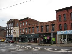 | Hudson Falls Historic District | 1.7 miles | 1983 |
 | US Post Office-Hudson Falls | 1.7 miles | 1989 |
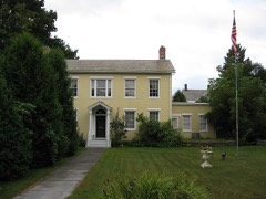 | Wing-Northup House | 3.6 miles | 2008 |
 | Fort Edward D&H Train Station | 3.7 miles | 2000 |
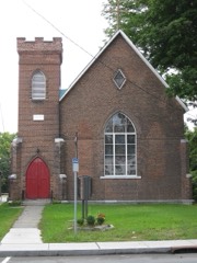 | St. James Episcopal Church | 3.9 miles | 1998 |
 | Old Fort House | 4.3 miles | 1983 |
| National Archives record | The nomination case file for reference 100000650 in Record Group 79. |
| Washington County | All 52 listed properties in this county. |