Block
BlockFrom the record
One of 234 National Register listings published here for Albany County · listed in 2017 · category: Building.
Sources: the National Register database, National Park Service
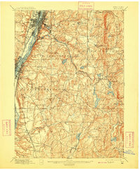
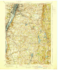
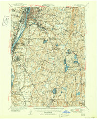
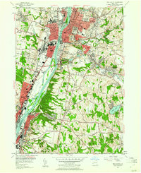
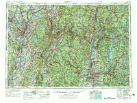
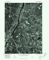
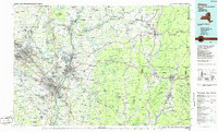
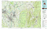
Listed on the National Register of Historic Places in 2017. 15 historic topographic surveys show this location, the earliest from 1893.
One of 234 National Register listings published here for Albany County · listed in 2017 · category: Building.
Sources: the National Register database, National Park Service
Regional context, not property-specific evidence. The federal wildfire occurrence database lists 1,552 fires within 5 miles of John S. Tilley Ladders Company between 1993 and 2020, burning about 1,307 acres in total. 75 started naturally. 325 were recorded as arson. Distance is straight-line from the map coordinates, so a fire counted here may appear on a neighbouring settlement's page as well.
| Reported cause | Fires |
|---|---|
| Missing data/not specified/undetermined | 896 |
| Arson/incendiarism | 325 |
| Debris and open burning | 104 |
| Smoking | 77 |
| Natural | 75 |
| Equipment and vehicle use | 34 |
| Misuse of fire by a minor | 20 |
| Recreation and ceremony | 9 |
| Power generation/transmission/distribution | 7 |
| Railroad operations and maintenance | 5 |
The most recent of them, most recent first, with the day each was reported and the service that recorded it.
| Date | Cause | Size | Reported by | Name on the report |
|---|---|---|---|---|
| 9 September 2020 | Missing data/not specified/undetermined | 1.2 acres | Fire Department of New York | NA |
| 9 September 2009 | Missing data/not specified/undetermined | under an acre | Fire Department of New York | not named |
| 9 September 2002 | Missing data/not specified/undetermined | under an acre | Fire Department of New York | not named |
| 8 September 2016 | Arson/incendiarism | 6.3 acres | Fire Department of New York | N/A |
| 8 September 2012 | Missing data/not specified/undetermined | under an acre | Fire Department of New York | not named |
| 8 September 2007 | Missing data/not specified/undetermined | under an acre | Fire Department of New York | not named |
| 8 September 2000 | Missing data/not specified/undetermined | under an acre | Fire Department of New York | not named |
| 7 September 2010 | Missing data/not specified/undetermined | under an acre | Fire Department of New York | not named |
Regional context, not property-specific evidence. Museums hold 4,456 specimens collected within 10 miles of John S. Tilley Ladders Company between 1760 and 1975: 2,522 Animalia, 1,284 Fungi, 597 Plantae, 33 Unrecorded, 14 Chromista, 4 Protozoa, 2 Bacteria. 12 distinct Species records are shown. Collected by A C. Frederick, A C. Frederick, A C. Frederick, A. Clapp and others. Each is a physical object with a catalogue number, and each entry opens the museum's record. This is what was collected and kept, not a survey of what lives here - nothing can be concluded from a species being absent.
| Image | Species | Year | Collected by | Where, as recorded |
|---|---|---|---|---|
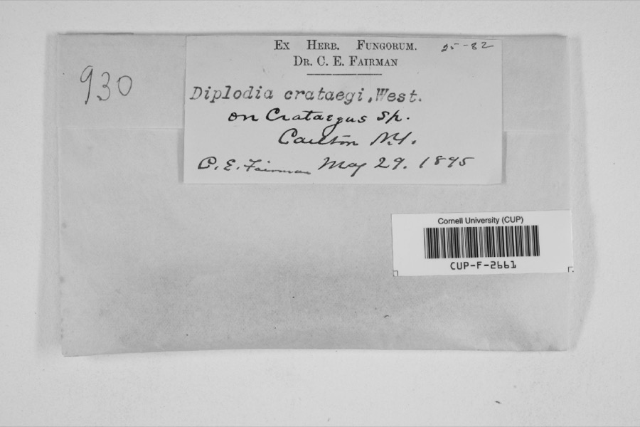 | Diplodia crataegi Fuckel | 1895 | Charles E. Fairman | |
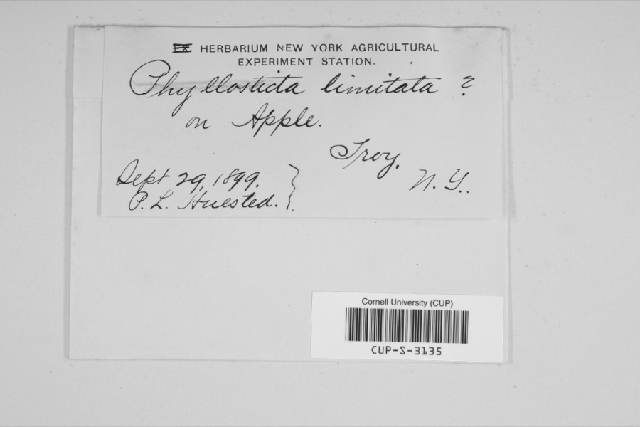 | Phyllosticta limitata Peck | 1899 | P.L. Huested | |
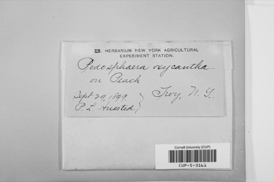 | Podosphaera oxyacanthae (DC.) de Bary | 1899 | P.L. Huested | |
 | Hemaris thysbe Fabricius, 1775 | 1760 | W.W. Hill | |
 | Monotropa procera Torr. | 1817 | E. James | Near Albany |
| Fontinalis duriaei Schimp. | 1825 | H. H. Eaton | ||
| Geastrum hygrometricum Pers. | 1827 | H. H. Eaton | Troy | |
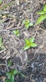 | Acalypha rhomboidea Raf. | 1828 | J. Hall | Troy |
 | Alnus serrulata (Aiton) Willd. | 1828 | J. Hall | Troy |
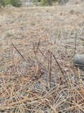 | Apocynum androsaemifolium L. | 1828 | J. Hall | Troy |
 | Apocynum cannabinum L. | 1828 | J. Hall | Troy |
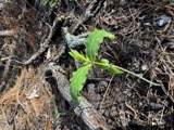 | Asclepias amplexicaulis Sm. | 1828 | J. Hall | Troy |
All 4,456 specimens within 10 miles, at the Global Biodiversity Information Facility.
Regional context, not property-specific evidence. The federal mineral resources record lists 20 workings within 5 miles of John S. Tilley Ladders Company: 10 past producers, 9 producers, 1 plant. 10 still produce. What was taken out: Clay, Sand and Gravel, Construction, Stone, Crushed/Broken, Bloating Material. Distance is straight-line from the map coordinates, so a quarry counted here may appear on a neighbouring settlement's page as well.
| Where | Site | Commodity | Status | Recorded |
|---|---|---|---|---|
| Cohoes | Bloating Material | Producer | Sedimentary | |
| Troy Plant | Perlite | Plant | ||
| Troy Sandstone Quarry | Stone, Crushed/Broken | Producer | Sedimentary | |
| Troy Sandstone Quarry | Stone, Crushed/Broken | Past Producer | ||
| Albany Clay Pit | Clay | Producer | ||
| Albany Clay Pit | Clay | Past Producer | ||
| Albany Gravel Plant | Sand and Gravel, Construction | Producer | ||
| Cohoes Clay Pit | Clay | Producer | ||
| Cohoes Clay Pit | Clay | Past Producer | ||
| Cohoes Clay Pit | Clay | Past Producer |
Regional context, not property-specific evidence. The National Weather Service names Watervliet, the town this property stands in, in 18 storm reports between 2006 and 2024: 10 thunderstorm wind, 4 hail, 3 flash flood, 1 flood. No death or injury is recorded in these reports. Each account below is quoted exactly as the forecast office filed it, from the NOAA Storm Events Database, and each date opens the federal record of that event.
| When | Event | Place named | Harm | What the report says |
|---|---|---|---|---|
| August 2018 | Flash Flood | Watervliet | $1,000 | A basement wall collapsed due to flooding. |
| July 2024 | Thunderstorm Wind | Watervliet | - | Albany County 911 Center reported multiple trees and wires down in the town of Watervliet that impacted 5th Avenue and 16th Street. |
| July 2024 | Thunderstorm Wind | Watervliet | - | Tree damage was reported on 5th Avenue in the City of Watervilet. |
| July 2024 | Thunderstorm Wind | Watervliet | - | Tree damage was reported near the intersection of 7th Street and 5th Avenue in the City of Watervilet. |
| August 2022 | Thunderstorm Wind | Watervliet | - | Trees and wires were downed across the region. |
| August 2019 | Hail | Watervliet | - | Quarter sized hail fell on 6th Avenue. |
| August 2019 | Thunderstorm Wind | Watervliet | - | Tree was downed in Watervliet. |
| July 2018 | Thunderstorm Wind | Watervliet | - | Tree limbs were downed. |
| May 2017 | Thunderstorm Wind | Watervliet | - | Law enforcement reported a tree down at the intersection of 14th Street and 2nd Ave. |
| July 2014 | Thunderstorm Wind | Watervliet | - | Large tree limbs were reported down in Watervliet due to thunderstorm winds. |
| August 2014 | Flash Flood | Watervliet | - | Three feet of water covered the intersection of 24th Street and 2nd Avenue in Watervliet due to heavy rain from a slow moving thunderstorm. |
| July 2014 | Thunderstorm Wind | Watervliet | - | Trees and wires were downed at 1157 7th Avenue in Watervliet due to thunderstorm winds. |
| August 2011 | Thunderstorm Wind | Watervliet | - | Trees and wires were reported down in Watervliet with power outages due to strong thunderstorm winds. |
| October 2010 | Flood | Watervliet | - | Route 32 was closed due to flooding between Interstate 787 and Route 378 in Albany. |
| August 2008 | Hail | Watervliet | - | Penny to quarter size hail was reported in Watervliet during a thunderstorm. |
| June 2007 | Flash Flood | Watervliet | - | Sixth Avenue was closed due to deep standing water from torrential rain. |
| September 2006 | Hail | Watervliet | - | Law enforcement personnel reported that golf-ball sized hail occurred in Watervliet. |
| July 2018 | Hail | Watervliet | - | no account filed |
United States Geological Survey topographic sheets whose coverage includes this point. Matched by taking the coordinate the National Park Service records for this property, then testing that coordinate against the published boundary of every sheet.
Other National Register properties close enough to walk or drive between, ordered by distance from this one. Both positions come from the same geocoding pass that matched these properties to their map sheets.
| Photograph | Property | Distance | Listed |
|---|---|---|---|
| Hedge Lawn | 0.3 miles | 1985 | |
| Louis Menand House | 0.8 miles | 1985 | |
| Watervliet Arsenal | 0.8 miles | 1966 | |
| George Trimble House | 0.9 miles | 1985 | |
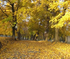 | St. Agnes Cemetery | 1.1 miles | 2008 |
| Menand Park Historic District | 1.2 miles | 1985 |
| National Archives record | The nomination case file for reference 100000993 in Record Group 79. |
| Albany County | All 234 listed properties in this county. |