Block
BlockFrom the record
One of 234 National Register listings published here for Albany County · listed in 2022 · category: District.
Sources: the National Register database, National Park Service
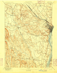
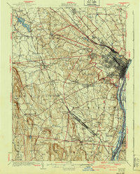
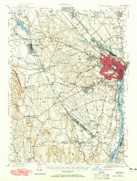
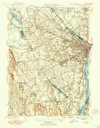
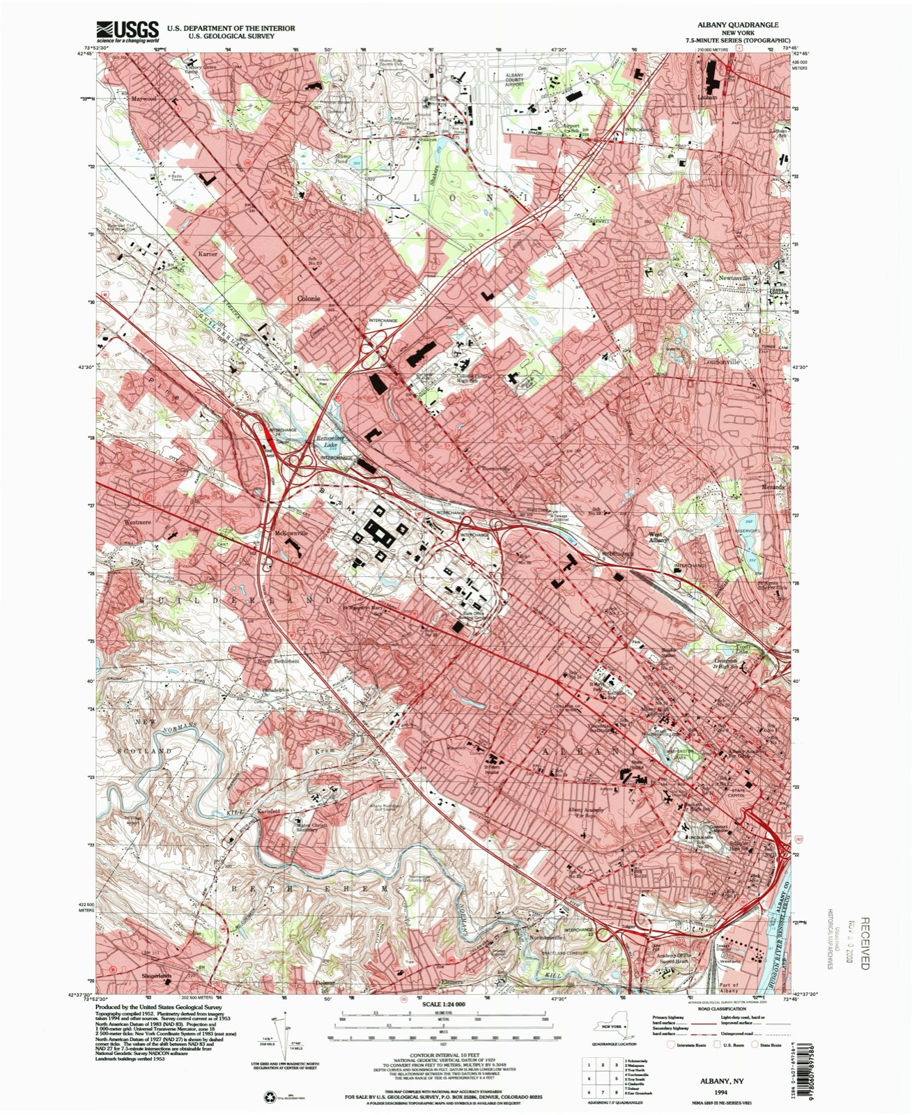
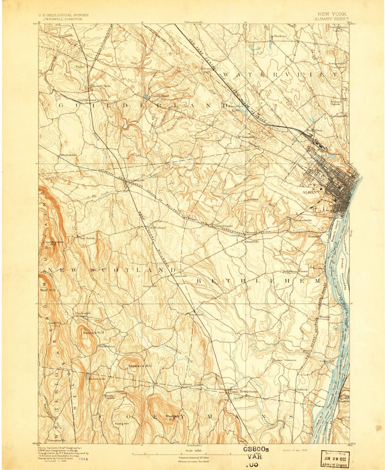
Listed on the National Register of Historic Places in 2022. 16 historic topographic surveys show this location, the earliest from 1893.
One of 234 National Register listings published here for Albany County · listed in 2022 · category: District.
Sources: the National Register database, National Park Service
The ground this property stands on, surveyed 101 years apart. Drag the handle to wipe between them. Both sheets are United States Geological Survey originals; neither has been altered.
Regional context, not property-specific evidence. The federal wildfire occurrence database lists 1,168 fires within 5 miles of McKownville-Country Club Highlands Historic District between 1999 and 2020, burning about 1,218 acres in total. 46 started naturally. 155 were recorded as arson. Distance is straight-line from the map coordinates, so a fire counted here may appear on a neighbouring settlement's page as well.
| Reported cause | Fires |
|---|---|
| Missing data/not specified/undetermined | 774 |
| Arson/incendiarism | 155 |
| Smoking | 71 |
| Debris and open burning | 46 |
| Natural | 46 |
| Equipment and vehicle use | 40 |
| Power generation/transmission/distribution | 15 |
| Railroad operations and maintenance | 10 |
| Misuse of fire by a minor | 8 |
| Recreation and ceremony | 3 |
The most recent of them, most recent first, with the day each was reported and the service that recorded it.
| Date | Cause | Size | Reported by | Name on the report |
|---|---|---|---|---|
| 9 September 2020 | Missing data/not specified/undetermined | 1.2 acres | Fire Department of New York | NA |
| 9 September 2015 | Missing data/not specified/undetermined | under an acre | Fire Department of New York | NA |
| 9 September 2002 | Missing data/not specified/undetermined | under an acre | Fire Department of New York | not named |
| 8 September 2016 | Arson/incendiarism | 6.3 acres | Fire Department of New York | N/A |
| 8 September 2007 | Missing data/not specified/undetermined | under an acre | Fire Department of New York | not named |
| 8 September 2001 | Missing data/not specified/undetermined | under an acre | Fire Department of New York | not named |
| 8 September 2000 | Missing data/not specified/undetermined | under an acre | Fire Department of New York | not named |
| 7 September 2015 | Missing data/not specified/undetermined | under an acre | Fire Department of New York | N/A |
Regional context, not property-specific evidence. Museums hold 5,539 specimens collected within 10 miles of McKownville-Country Club Highlands Historic District between 1760 and 1975: 3,173 Animalia, 1,518 Fungi, 778 Plantae, 34 Unrecorded, 18 Chromista, 12 Protozoa, 6 Bacteria. 12 distinct Species records are shown. Collected by A C. Frederick, A C. Frederick, A C. Frederick, A. A. Heller and others. Each is a physical object with a catalogue number, and each entry opens the museum's record. This is what was collected and kept, not a survey of what lives here - nothing can be concluded from a species being absent.
| Image | Species | Year | Collected by | Where, as recorded |
|---|---|---|---|---|
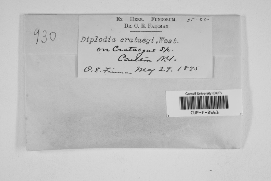 | Diplodia crataegi Fuckel | 1895 | Charles E. Fairman | |
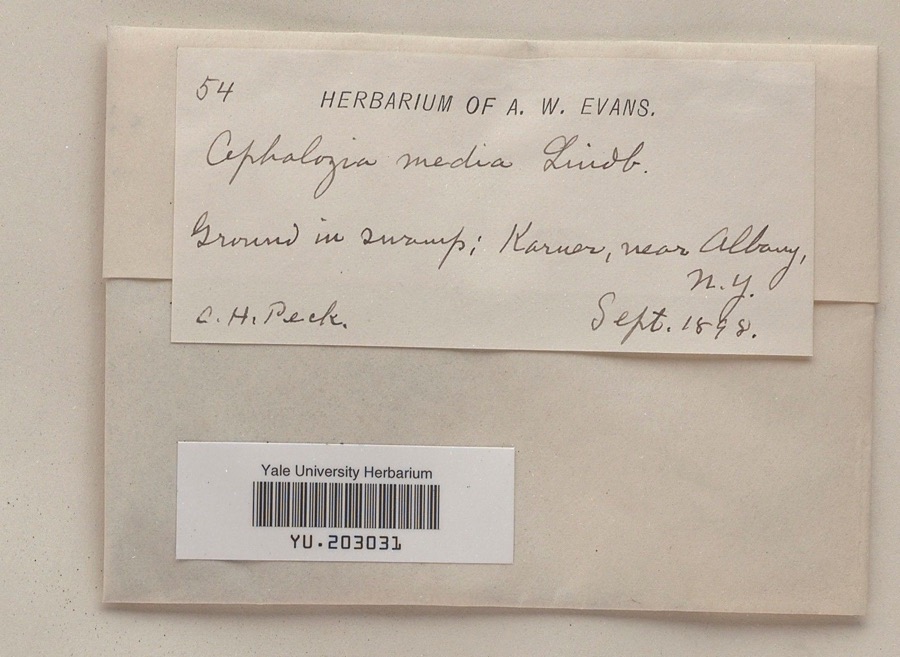 | Cephalozia media Lindb. | 1898 | Charles H. Peck | near Albany |
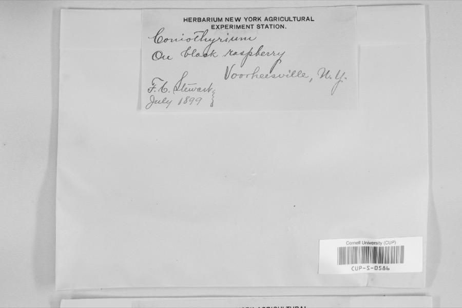 | Coniothyrium Corda, 1840 | 1899 | not recorded | |
 | Hemaris thysbe Fabricius, 1775 | 1760 | W.W. Hill | |
 | Monotropa procera Torr. | 1817 | E. James | Near Albany |
| Fontinalis duriaei Schimp. | 1825 | H. H. Eaton | ||
| Geastrum hygrometricum Pers. | 1827 | H. H. Eaton | Troy | |
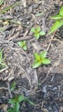 | Acalypha rhomboidea Raf. | 1828 | J. Hall | Troy |
 | Alnus serrulata (Aiton) Willd. | 1828 | J. Hall | Troy |
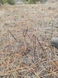 | Apocynum androsaemifolium L. | 1828 | J. Hall | Troy |
 | Apocynum cannabinum L. | 1828 | J. Hall | Troy |
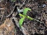 | Asclepias amplexicaulis Sm. | 1828 | J. Hall | Troy |
All 5,539 specimens within 10 miles, at the Global Biodiversity Information Facility.
Regional context, not property-specific evidence. The federal mineral resources record lists 3 workings within 5 miles of McKownville-Country Club Highlands Historic District: 2 producers, 1 past producer. 2 still produce. What was taken out: Clay, Sand and Gravel, Construction. Distance is straight-line from the map coordinates, so a quarry counted here may appear on a neighbouring settlement's page as well.
| Where | Site | Commodity | Status | Recorded |
|---|---|---|---|---|
| Albany Gravel Plant | Sand and Gravel, Construction | Producer | ||
| Albany Clay Pit | Clay | Producer | ||
| Albany Clay Pit | Clay | Past Producer |
Regional context, not property-specific evidence. The National Weather Service names Guilderland, the town this property stands in, in 13 storm reports between 1994 and 2024: 10 thunderstorm wind, 1 flash flood, 1 hail, 1 lightning. The reports record 1 injury. Each account below is quoted exactly as the forecast office filed it, from the NOAA Storm Events Database, and each date opens the federal record of that event.
| When | Event | Place named | Harm | What the report says |
|---|---|---|---|---|
| August 2002 | Thunderstorm Wind | Guilderland | 1 hurt, $975,000 | no account filed |
| July 1995 | Thunderstorm Wind | Guilderland | $20,000 | no account filed |
| June 2002 | Thunderstorm Wind | Guilderland | $10,000 | no account filed |
| June 1994 | Thunderstorm Wind | Guilderland | $5,000 | no account filed |
| July 1994 | Thunderstorm Wind | Guilderland | $5,000 | no account filed |
| August 1994 | Thunderstorm Wind | Guilderland | $5,000 | no account filed |
| June 2014 | Lightning | Guilderland | $1,000 | The local fire department reported that a house was struck by lightning on Denny Road in Guilderland. |
| July 2024 | Thunderstorm Wind | Guilderland | - | Wires were reported down on Kings Road between Morris Road and Curry Road as well as on Siver Road between East Old State Road and East Lydius Street in Guilderland. |
| August 2020 | Thunderstorm Wind | Guilderland | - | A tree was downed across East Old State Road. |
| July 2019 | Thunderstorm Wind | Guilderland | - | Wires were downed. |
| July 2009 | Hail | Guilderland | - | Quarter size hail was reported approximately 4 miles west northwest of Colonie during a thunderstorm. |
| July 2007 | Thunderstorm Wind | Guilderland | - | Numerous tree limbs, some large, were reported down in and near Guilderland due to strong thunderstorm winds. |
| June 2005 | Flash Flood | Guilderland | - | Flash flooding occurred at a couple of locations. Western Avenue was closedat Fuller Road due to flooding. And Lishakill Road was flooded where it intersects with Consaul Road. A spotter in the vicinity of Lishakill Road, reported2.85 inches of rainfall in 70 minutes about 8 PM EST. |
United States Geological Survey topographic sheets whose coverage includes this point. Matched by taking the middle of the area the National Park Service maps for this listing, then testing that coordinate against the published boundary of every sheet.
Other National Register properties close enough to walk or drive between, ordered by distance from this one. Both positions come from the same geocoding pass that matched these properties to their map sheets.
| Photograph | Property | Distance | Listed |
|---|---|---|---|
| Chapel House | 0.2 miles | 1982 | |
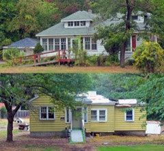 | Rapp Road Community Historic District | 1.4 miles | 2002 |
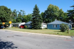 | Lustron Houses of Jermain Street Historic District | 1.7 miles | 2009 |
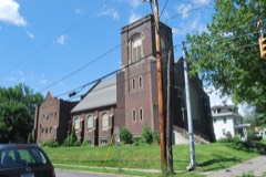 | Calvary Methodist Episcopal Church | 2.4 miles | 2008 |
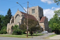 | St. Andrew's Episcopal Church | 2.6 miles | 2005 |
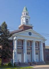 | First Congregational Church of Albany | 3.1 miles | 2014 |
| National Archives record | The nomination case file for reference 100007747 in Record Group 79. |
| Albany County | All 234 listed properties in this county. |