Block
BlockFrom the record
One of 47 National Register listings published here for Chemung County · listed in 2013 · category: District.
Sources: the National Register database, National Park Service
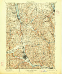
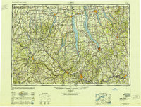
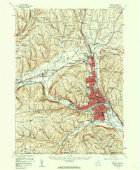
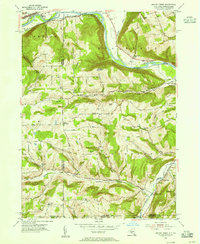
Listed on the National Register of Historic Places in 2013. 11 historic topographic surveys show this location, the earliest from 1895.
One of 47 National Register listings published here for Chemung County · listed in 2013 · category: District.
Sources: the National Register database, National Park Service
The ground this property stands on, surveyed 97 years apart. Drag the handle to wipe between them. Both sheets are United States Geological Survey originals; neither has been altered.
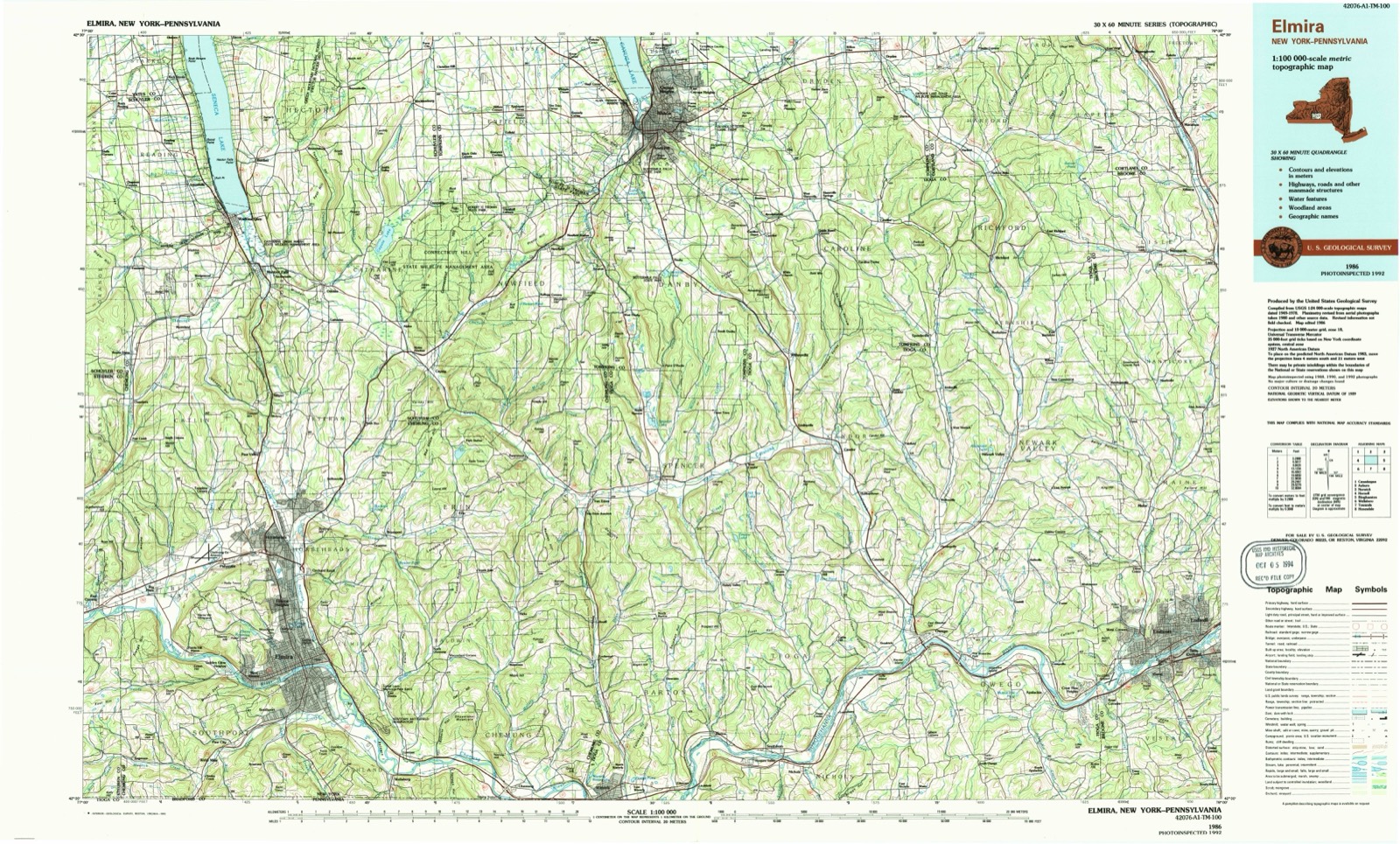
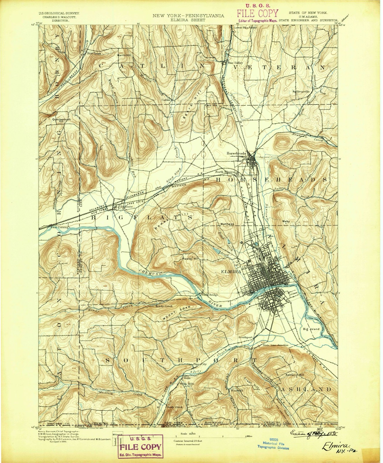
Regional context, not property-specific evidence. The federal wildfire occurrence database lists 322 fires within 5 miles of Warren E. Eaton Motorless Flight Facility between 1994 and 2020, burning about 312 acres in total. 18 started naturally. 51 were recorded as arson. Distance is straight-line from the map coordinates, so a fire counted here may appear on a neighbouring settlement's page as well.
| Reported cause | Fires |
|---|---|
| Missing data/not specified/undetermined | 137 |
| Debris and open burning | 51 |
| Arson/incendiarism | 51 |
| Smoking | 31 |
| Natural | 18 |
| Equipment and vehicle use | 15 |
| Power generation/transmission/distribution | 9 |
| Recreation and ceremony | 6 |
| Misuse of fire by a minor | 4 |
The most recent of them, most recent first, with the day each was reported and the service that recorded it.
| Date | Cause | Size | Reported by | Name on the report |
|---|---|---|---|---|
| 9 September 2015 | Natural | under an acre | Fire Department of New York | NA |
| 8 September 2007 | Missing data/not specified/undetermined | under an acre | Fire Department of New York | not named |
| 7 September 2015 | Missing data/not specified/undetermined | under an acre | Fire Department of New York | NA |
| 7 September 2002 | Missing data/not specified/undetermined | under an acre | Fire Department of New York | not named |
| 5 September 2008 | Missing data/not specified/undetermined | under an acre | Fire Department of New York | not named |
| 4 September 2015 | Missing data/not specified/undetermined | under an acre | Fire Department of New York | NA |
| 30 September 2014 | Missing data/not specified/undetermined | under an acre | Fire Department of New York | not named |
| 3 September 2015 | Missing data/not specified/undetermined | under an acre | Fire Department of New York | NA |
Regional context, not property-specific evidence. The federal mineral resources record lists 6 workings within 5 miles of Warren E. Eaton Motorless Flight Facility: 4 producers, 2 past producers. 4 still produce. What was taken out: Sand and Gravel, Construction. Distance is straight-line from the map coordinates, so a quarry counted here may appear on a neighbouring settlement's page as well.
| Where | Site | Commodity | Status | Recorded |
|---|---|---|---|---|
| E.R. Wolcott Sand and Gravel Pit | Sand and Gravel, Construction | Producer | ||
| East Corning Plant | Sand and Gravel, Construction | Past Producer | Sedimentary | |
| East Corning Plant | Sand and Gravel, Construction | Producer | ||
| Janoski's Pit | Sand and Gravel, Construction | Producer | ||
| Rhinehart Sand and Gravel Pit | Sand and Gravel, Construction | Past Producer | Sedimentary | |
| Rhinehart Sand and Gravel Pit | Sand and Gravel, Construction | Producer |
Regional context, not property-specific evidence. The National Weather Service names Big Flats, the town this property stands in, in 25 storm reports between 1996 and 2024: 15 thunderstorm wind, 5 flash flood, 4 hail, 1 lightning. The reports record 4 injuries. Each account below is quoted exactly as the forecast office filed it, from the NOAA Storm Events Database, and each date opens the federal record of that event.
| When | Event | Place named | Harm | What the report says |
|---|---|---|---|---|
| June 2002 | Thunderstorm Wind | Big Flats | 4 hurt, $50,000 | Strong thunderstorm winds took down a tree on church Street in Elmira. The snapped off 6 feet from the ground. The tree landed on a car parked in a driveway. Four people in the station wagon suffered only minor scrapes from glass when the tree landed on the rear of the car. Musical equipment in the back was smashed. In Big Flats it took down several large trees along Route 352. Some of the trees took down utility lines. A large produce stand was flipped. 2100 customers lost power in Chemung County and adjacent Steuben County. |
| May 2018 | Thunderstorm Wind | Big Flats | $50,000 | Thunderstorm winds blew down a large tree crushing an SUV and damaging a roof. |
| June 2005 | Lightning | Big Flats | $50,000 | Lightning hit the Ruby Tuesday restaurant at the Arnot Mall in Big Flats. The lightning lifted the roof off the building, shut off the electricity, and burned out the air conditioning unit. The smoke from the unit and the power outage temporarily closed the mall. |
| June 2005 | Thunderstorm Wind | Big Flats | $50,000 | Thunderstorm winds downed trees and wires in Big Flats, Horseheads, Elmira, and Southport. A tree fell onto a house in Big Flats. Also in Big Flats a trailer was blown off its foundation. |
| July 2003 | Thunderstorm Wind | Big Flats | $30,000 | Thunderstorm winds blew down trees and wires in Big Flats, Elmira and Elmira Heights. Elmira Corning Regional Airport ASOS measured a 62 mph gust. Elmira Heights had trees come down on wires, railroad tracks, and roads. |
| August 2013 | Flash Flood | Big Flats | $20,000 | Significant flash flooding was occurring with Sing Sing Road underwater near the airport. |
| June 2005 | Flash Flood | Big Flats | $20,000 | Slow moving thunderstorms with heavy rain caused flash flooding. In Big Flats roads and bridges were flooded. In Southport several roads were flooded. |
| August 2018 | Thunderstorm Wind | Big Flats | $10,000 | Thunderstorm winds blew down utility poles and wires. |
| April 2011 | Flash Flood | Big Flats | $10,000 | Route 352 was washed out due to flash flooding. |
| May 2020 | Thunderstorm Wind | Big Flats | $5,000 | Strong thunderstorm winds brought down trees on Harris Hill Road. |
| August 2018 | Flash Flood | Big Flats | $5,000 | Flash flooding damaged and closed Route 352 in Big Flats. |
| June 2013 | Thunderstorm Wind | Big Flats | $5,000 | Trees were blown down. |
| April 2011 | Thunderstorm Wind | Big Flats | $5,000 | Trees were blown down in Big Flats, Horseheads and Alpine. |
| June 2023 | Thunderstorm Wind | Big Flats | $3,000 | Strong thunderstorms winds knocked down trees and wires. |
| April 1996 | Thunderstorm Wind | Big Flats | $3,000 | no account filed |
| July 2007 | Thunderstorm Wind | Big Flats | $2,000 | Several trees were blown down. |
| August 2024 | Flash Flood | Big Flats | $1,000 | Interstate 86 was flooded near Exit 51. |
| July 2022 | Thunderstorm Wind | Big Flats | $1,000 | Strong thunderstorm winds knocked down wires onto a road. |
| June 2009 | Thunderstorm Wind | Big Flats | $1,000 | Wires were taken down on Chambers Road. |
| June 2007 | Thunderstorm Wind | Big Flats | - | Wires were knocked down. |
| June 2000 | Thunderstorm Wind | Big Flats | - | Storm spotters reported that trees were blown down along Routes 352 and 64. A lightning strike also casued a power interuption at a local store. |
| May 2020 | Hail | Big Flats | - | no account filed |
| June 2008 | Hail | Big Flats | - | no account filed |
| August 2007 | Hail | Big Flats | - | no account filed |
| June 2002 | Hail | Big Flats | - | no account filed |
United States Geological Survey topographic sheets whose coverage includes this point. Matched by taking the middle of the area the National Park Service maps for this listing, then testing that coordinate against the published boundary of every sheet.
Other National Register properties close enough to walk or drive between, ordered by distance from this one. Both positions come from the same geocoding pass that matched these properties to their map sheets.
| Photograph | Property | Distance | Listed |
|---|---|---|---|
| Mount Saviour Monastery | 2.8 miles | 2015 | |
| Woodlawn Cemtery and Woodlawn National Cemetery | 3.9 miles | 2004 | |
 | John W. Jones House | 4.1 miles | 2003 |
 | Elmira Heights Village Hall | 4.1 miles | 1982 |
 | George Washington School | 4.5 miles | 2017 |
 | Near Westside Historic District | 4.7 miles | 1983 |
| National Archives record | The nomination case file for reference 13000778 in Record Group 79. |
| Chemung County | All 47 listed properties in this county. |