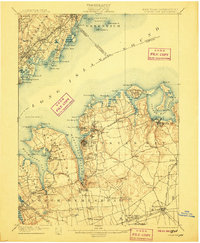
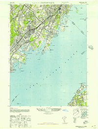
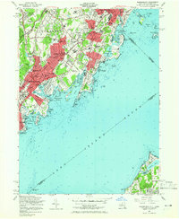
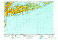
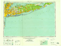
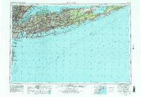
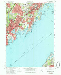
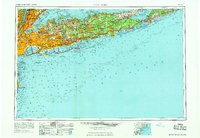
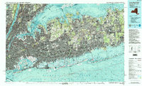
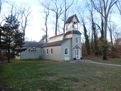
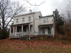
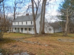
A National Historic Landmark. Listed on the National Register of Historic Places in 1982. 13 historic topographic surveys show this location, the earliest from 1897.
From the record
“The Boston Post Road Historic District is a 286-acre (116 ha) National Historic Landmark District in Rye, New York, and is composed of five distinct and adjacent properties. Within this landmarked area are three architecturally significant, pre-Civil War mansions and their grounds; a 10,000-year-old Indigenous peoples site and viewshed; a private cemetery, and a nature preserve.”
Wikipedia article Boston Post Road Historic District (Rye, New York), CC BY-SA 4.0.
One of 250 National Register listings published here for Westchester County · listed in 1982 · category: Building · a National Historic Landmark.
National Register reference number.82001275- the number the National Park Service assigned this property when it was listed, and the key its nomination file is catalogued under at the National Archives.
Fires near this property
319 since 2000
Regional context, not property-specific
evidence. The
federal wildfire occurrence database
lists 319 fires within 5 miles of Peter Augustus Jay House
between 2000 and 2020, burning about 221 acres in total. 18 started naturally. 34 were recorded as arson.
Distance is straight-line from the map coordinates, so a fire counted
here may appear on a neighbouring settlement's page as well.
Reported cause
Fires
Missing data/not specified/undetermined
171
Smoking
56
Arson/incendiarism
34
Natural
18
Recreation and ceremony
17
Debris and open burning
10
Equipment and vehicle use
8
Power generation/transmission/distribution
2
Misuse of fire by a minor
2
Railroad operations and maintenance
1
The most recent of
them, most recent first, with the day each was reported and the service
that recorded it.
Regional context, not property-specific
evidence. The federal mineral resources record lists
3 workings within 5 miles of Peter Augustus Jay House: 3 past producers.
None of them still produces. What was taken out: Granite, Stone, Dimension. Distance is straight-line from the
map coordinates, so a quarry counted here may appear on a neighbouring
settlement's page as well.
Regional context, not property-specific
evidence. The National Weather Service names
Rye, the town this property stands in, in 13 storm reports between 2001 and 2023: 5 flash flood, 5 thunderstorm wind, 2 lightning, 1 hail.
No death or injury is recorded in these reports. Each account below is quoted exactly as the forecast office
filed it, from the NOAA Storm Events Database, and each date
opens the federal record of that event.
Flooding caused portions of many major roads to be closed. Specifically, the Saw Mill River Parkway was closed in both directions between the Taconic State Pkwy. and Manville Rd. in Pleasantville. Southbound lanes from Interstate 287 and northbound lanes from Interstate 87 to Rt. 119 in Elmsford were also closed, as was Exit 7 at Tuckahoe Rd. in Yonkers. The Bronx River Pkwy. was shut in both directions from the Sprain Brook Pkwy. in Yonkers to the Main St. Bridge in White Plains. Fourteen families living in a two-story apartment building on Harrison Ave. in Harrison were evacuated after a ceiling in the hallway collapsed, causing flooding throughout the building. Property damage amounts are estimated. Total rainfall amounts ranged from 3.58 inches in White Plains to 6.25 inches in Yorktown Heights.
Vehicles were disabled due to flooding on Abdendroth Ave., Midland Ave., and Fox Island Rd. in Port Chester. Numerous secondary streets were also flooded.
United States Geological Survey topographic
sheets whose coverage includes this point. Matched by taking the coordinate the National Park Service records for this property, then
testing that coordinate against the published boundary of every sheet.
Other National Register properties close
enough to walk or drive between, ordered by distance from this one. Both
positions come from the same geocoding pass that matched these properties
to their map sheets.
Listing record. National Park Service National Register of Historic Places, listed-properties dataset, current to 2026-05-22.
Map join. Address geocoded through the United States Census geocoder, then tested against the published boundary of every sheet in the USGS Historical Topographic Map Collection.
How this page is made. Listing fields come from federal records; map-sheet coverage is a labelled coordinate-to-boundary calculation, not a source-field claim.
Wildfire. Short, Karen C. 2022. Spatial wildfire occurrence data for the United States, 1992-2020 [FPA_FOD_20221014]. 6th Edition. Fort Collins, CO: Forest Service Research Data Archive. https://doi.org/10.2737/RDS-2013-0009.6 Collected with United States Government funding and usable without additional permissions or fees.
Mines and quarries. USGS Mineral Resources Data System (MRDS) https://mrdata.usgs.gov/mrds/ A work of the United States government, no copyright under 17 U.S.C. 105.
Storms. NOAA National Centers for Environmental Information, Storm Events Database https://www.ncei.noaa.gov/stormevents/ A work of the United States government, no copyright under 17 U.S.C. 105. Narratives are quoted verbatim from the National Weather Service report and are not edited or summarised.
 Block
Block