Block
BlockFrom the record
One of 76 National Register listings published here for Warren County · listed in 1984 · category: Building.
Sources: the case file at the National Archives · the National Register database, National Park Service
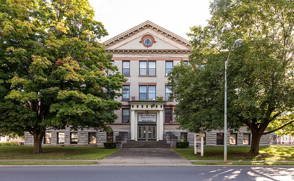
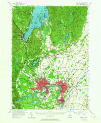
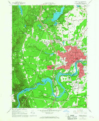
Listed on the National Register of Historic Places in 1984. 12 historic topographic surveys show this location, the earliest from 1895.
One of 76 National Register listings published here for Warren County · listed in 1984 · category: Building.
Sources: the case file at the National Archives · the National Register database, National Park Service
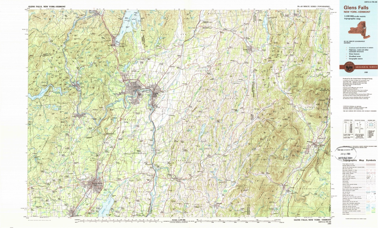
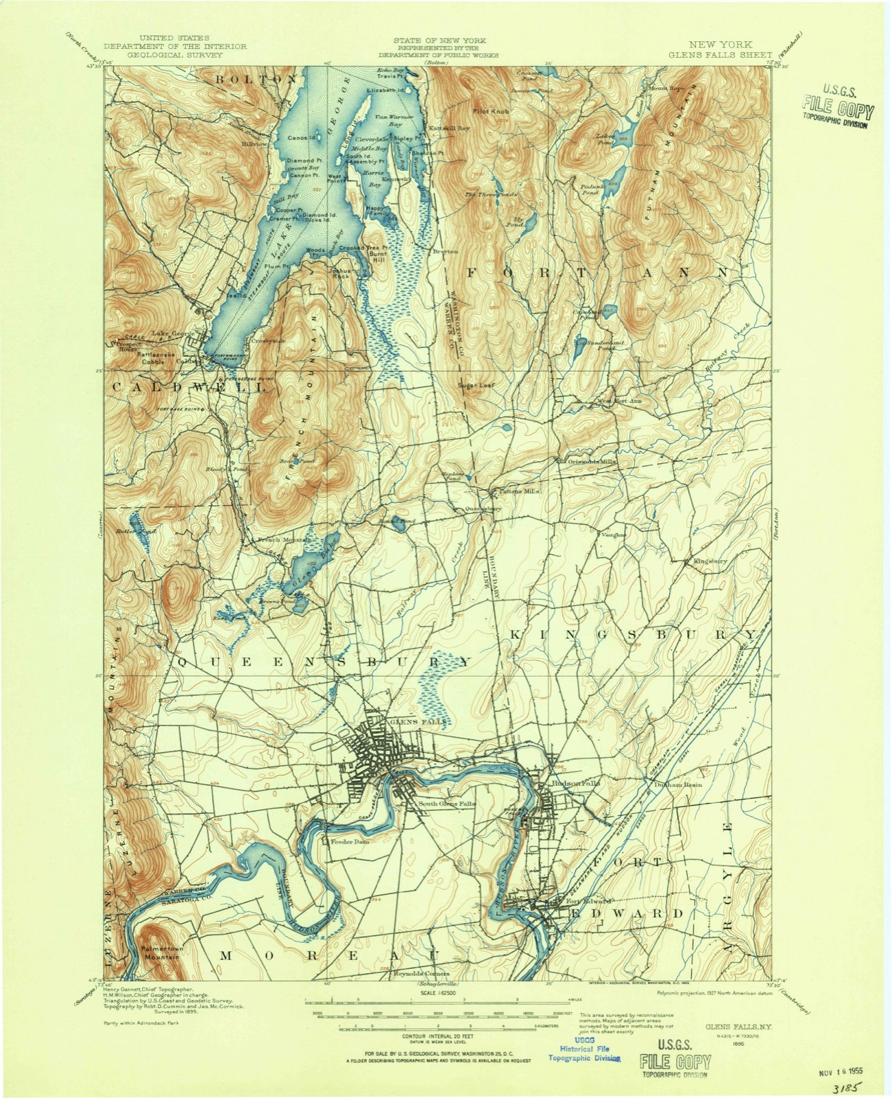
The ground this property stands on, surveyed 94 years apart. Drag the handle to wipe between them. Both sheets are United States Geological Survey originals; neither has been altered.
Regional context, not property-specific evidence. The federal wildfire occurrence database lists 609 fires within 5 miles of Glens Falls High School between 1992 and 2020, burning about 499 acres in total. 30 started naturally. 102 were recorded as arson. Distance is straight-line from the map coordinates, so a fire counted here may appear on a neighbouring settlement's page as well.
| Reported cause | Fires |
|---|---|
| Missing data/not specified/undetermined | 301 |
| Arson/incendiarism | 102 |
| Smoking | 58 |
| Recreation and ceremony | 37 |
| Natural | 30 |
| Equipment and vehicle use | 30 |
| Debris and open burning | 23 |
| Misuse of fire by a minor | 17 |
| Power generation/transmission/distribution | 10 |
| Railroad operations and maintenance | 1 |
The most recent of them, most recent first, with the day each was reported and the service that recorded it.
| Date | Cause | Size | Reported by | Name on the report |
|---|---|---|---|---|
| 9 September 2015 | Missing data/not specified/undetermined | under an acre | Fire Department of New York | N/A |
| 8 September 2007 | Missing data/not specified/undetermined | under an acre | Fire Department of New York | not named |
| 7 September 2002 | Missing data/not specified/undetermined | under an acre | Fire Department of New York | not named |
| 6 September 2018 | Smoking | under an acre | Fire Department of New York | N/A |
| 6 September 2010 | Arson/incendiarism | under an acre | Fire Department of New York | not named |
| 6 September 2007 | Missing data/not specified/undetermined | under an acre | Fire Department of New York | not named |
| 3 September 2007 | Missing data/not specified/undetermined | under an acre | Fire Department of New York | not named |
| 3 September 2007 | Natural | under an acre | Fire Department of New York | not named |
Regional context, not property-specific evidence. The federal mineral resources record lists 13 workings within 5 miles of Glens Falls High School: 10 past producers, 3 producers. 3 still produce. What was taken out: Limestone, General, Sand and Gravel, Construction, Stone, Crushed/Broken, Marble, Dimension. Distance is straight-line from the map coordinates, so a quarry counted here may appear on a neighbouring settlement's page as well.
| Where | Site | Commodity | Status | Recorded |
|---|---|---|---|---|
| Morgan Lumber & Lime Company Quarry | Limestone, General, Marble, Dimension | Past Producer | 1882, 1975 | |
| Chestertown Quarry | Stone, Crushed/Broken | Past Producer | ||
| Glen Falls Quarry & Cement Plant | Stone, Crushed/Broken | Producer | ||
| Chesterton Gravel Pit | Sand and Gravel, Construction | Producer | ||
| Iuliucci Pit | Sand and Gravel, Construction | Past Producer | ||
| Johnson Pit | Sand and Gravel, Construction | Past Producer | ||
| Ridge Road No. 1 | Sand and Gravel, Construction | Producer | ||
| Chestertown Quarry | Limestone, General | Past Producer | Sedimentary | |
| Glens Falls Quarry | Limestone, General | Past Producer | Sedimentary | |
| Glens Falls Quarry | Limestone, General | Past Producer | Sedimentary |
Regional context, not property-specific evidence. The National Weather Service names Glens Falls, the town this property stands in, in 45 storm reports between 1994 and 2024: 31 thunderstorm wind, 4 flood, 3 flash flood, 3 lightning. No death or injury is recorded in these reports. Each account below is quoted exactly as the forecast office filed it, from the NOAA Storm Events Database, and each date opens the federal record of that event.
| When | Event | Place named | Harm | What the report says |
|---|---|---|---|---|
| December 2000 | Flash Flood | Glens Falls | $30,000 | no account filed |
| May 2002 | Thunderstorm Wind | Glens Falls | $25,000 | no account filed |
| June 2001 | Lightning | Glens Falls | $20,000 | no account filed |
| June 2001 | Lightning | Glens Falls | $10,000 | no account filed |
| July 1995 | Thunderstorm Wind | Glens Falls | $10,000 | no account filed |
| July 2001 | Hail | Glens Falls | $9,000 | no account filed |
| July 1994 | Thunderstorm Wind | West Glens Falls | $5,000 | Severe thunderstorms moved across parts of eastern New York ahead of a low pressure system which was moving into the area during the afternoon hours of July 30th. Thunderstorm winds downed trees and powerlines with Washington and Herkimer Counties being hardest hit. In Colonie torrential rains resulted in an urban flood as storm drains backed up. |
| June 2001 | Lightning | Glens Falls | $5,000 | no account filed |
| March 2008 | Flood | Glens Falls | $1,000 | Three feet of water was reported in Kensington Elementary School in Glens Falls. In addition, Kensington Road was closed due to the high water. |
| July 1994 | Thunderstorm Wind | Glens Falls | $500 | no account filed |
| July 2024 | Thunderstorm Wind | Glens Falls | - | A large tree and wires were downed near the intersection of Coolidge Avenue and Crandall Street in the City of Glens Falls. |
| July 2024 | Thunderstorm Wind | Glens Falls | - | Trees were downed at the Hannaford Supermarket and near Quaker Road in Queensbury. |
| July 2024 | Thunderstorm Wind | Glens Falls | - | Wires were downed on Warren Street in Glens Falls. |
| July 2023 | Thunderstorm Wind | Glens Falls | - | A tree was down blocking Walnut Street. |
| August 2022 | Thunderstorm Wind | Glens Falls | - | Measured gust at the Glens Falls NYS Mesonet. |
| August 2022 | Flood | Glens Falls | - | A number of side roads and streets around the City of Glens Falls were flooded with several inches of water, some of which included Maple Street and Sherman Avenue. |
| August 2022 | Thunderstorm Wind | Glens Falls | - | Trees and wires were downed in the City of Glens Falls. |
| June 2021 | Funnel Cloud | Glens Falls | - | A funnel cloud was spotted north of the observer looking toward Lake George. |
| May 2020 | Thunderstorm Wind | Glens Falls | - | Trees were downed onto wires. |
| July 2020 | Thunderstorm Wind | Glens Falls | - | A tree was downed on Ridge Street near the Queensbury Hotel. |
| June 2019 | Flood | Glens Falls | - | A roadway was flooded in low lying and poor drainage areas. |
| May 2017 | Thunderstorm Wind | Glens Falls | - | Wires were downed, resulting in a structure fire. |
| August 2017 | Thunderstorm Wind | Glens Falls | - | A tree was down blocking a roadway. |
| August 2017 | Thunderstorm Wind | Glens Falls | - | Trees and wires were downed in front of a house. |
| August 2017 | Thunderstorm Wind | Glens Falls | - | A tree was leaning on wires. |
| August 2017 | Thunderstorm Wind | Glens Falls | - | Trees and wires were downed. |
| August 2017 | Thunderstorm Wind | Glens Falls | - | A tree was leaning on wires. |
| July 2017 | Flash Flood | Glens Falls | - | Route 32 was closed near the Haskell Avenue intersection due to high water. |
| April 2016 | Thunderstorm Wind | Glens Falls | - | A tree was downed onto a car due to thunderstorm winds at the Crandall Library on Glen Street in Glens Falls. |
| April 2016 | Thunderstorm Wind | Glens Falls | - | A garage was pulled off its foundation and part of it was nearly 30 feet up a nearby tree due to thunderstorm winds on Fowler Avenue in Glens Falls. Several trees were also downed on the property as well. |
| April 2016 | Thunderstorm Wind | Glens Falls | - | Several trees and power lines were downed on Meadowbrook Drive in Queensbury due to thunderstorm winds. Trees fell on two homes and one car and a few of the trees were lying across the roadway. The road was closed between Ridge Street and Quaker Road due to the damage. |
| April 2016 | Thunderstorm Wind | Glens Falls | - | Damage occurred to a roof of a garage on Flandreaux Avenue in Glens Falls due to thunderstorm winds. |
| April 2016 | Thunderstorm Wind | Glens Falls | - | Numerous trees were downed and across Mac Arthur Drive in Glens Falls due to thunderstorm winds. |
| April 2016 | Thunderstorm Wind | Glens Falls | - | Two large pine trees fell on Lexington Avenue in Glens Falls due to thunderstorm winds. One of the trees fell on a home, but damage was not serious. |
| July 2016 | Thunderstorm Wind | Glens Falls | - | A tree and wires were reported down on Bay Street in Glens Falls due to thunderstorm winds. |
| July 2014 | Thunderstorm Wind | Glens Falls | - | A large twelve inch diameter tree limb fell from a tree at the corner of Harrison Avenue and Crandall Street in Glens Falls due to thunderstorm winds. |
| June 2013 | Hail | Glens Falls | - | Quarter size hail was reported via Twitter during a thunderstorm in Glens Falls. |
| October 2013 | Thunderstorm Wind | Glens Falls | - | A tree and limbs were down on house on Katherine Street in Glens Falls as a result of thunderstorm winds. |
| May 2012 | Thunderstorm Wind | Glens Falls | - | Trees and wires were reported down due to strong thunderstorm winds about 1 mile northeast of Glens Falls. |
| August 2011 | Thunderstorm Wind | Glens Falls | - | Trees were reported down on Route 9 approximately 2 miles northwest of Glens Falls due to strong thunderstorm winds. |
| October 2010 | Flood | Glens Falls | - | Standing water was reported at the intersection of Sherman Avenue and Elm Street in the city of Glens Falls due to heavy rains. |
| July 2006 | Flash Flood | Glens Falls | - | Law enforcement personnel reported that numerous roads in Glens Falls were closed due to extensive flash flooding. |
| June 2005 | Thunderstorm Wind | Glens Falls | - | Trees were blown down. |
| May 2004 | Hail | Glens Falls | - | no account filed |
| August 2002 | Thunderstorm Wind | Glens Falls | - | no account filed |
United States Geological Survey topographic sheets whose coverage includes this point. Matched by taking the coordinate the National Park Service records for this property, then testing that coordinate against the published boundary of every sheet.
Other National Register properties close enough to walk or drive between, ordered by distance from this one. Both positions come from the same geocoding pass that matched these properties to their map sheets.
| Photograph | Property | Distance | Listed |
|---|---|---|---|
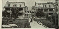 | Bemis Eye Sanitarium Complex | under 500 feet | 1984 |
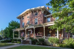 | Sherman House | 0.1 miles | 1977 |
| Bemis Eye Sanitarium Complex | 0.1 miles | 1984 |
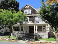 | Ephraim B. Potter House | 0.2 miles | 1984 |
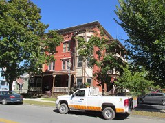 | Smith Flats | 0.2 miles | 1984 |
| Queensbury Hotel, The | 0.4 miles | 2018 |
| National Archives record | The nomination case file for reference 84003335 in Record Group 79. |
| Warren County | All 76 listed properties in this county. |