 Block
From the record
5 National Register listings published here.
Sources: the National Register database, National Park Service
42 topographic sheets and 18 fire insurance atlases across 2 places.
5 National Register listings published here.
Sources: the National Register database, National Park Service
Every property in this county listed on the National Register of Historic Places, with the year it was listed and the federal nomination document.
| Photograph | Property | Type | Listed | Reference |
|---|---|---|---|---|
| Coalgate School Gymnasium-Auditorium | building | 1988 | 88001382 | |
| Keel Creek Bridge | structure | 2007 | 07000257 | |
| Merchants National Bank Building | building | 2006 | 06001112 | |
| Benjamin Franklin Smallwood House | building | 1982 | 82003676 | |
| United States Post Office Coalgate | building | 2009 | 09000214 |
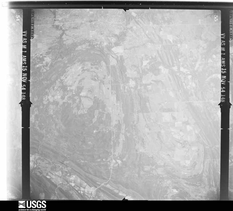
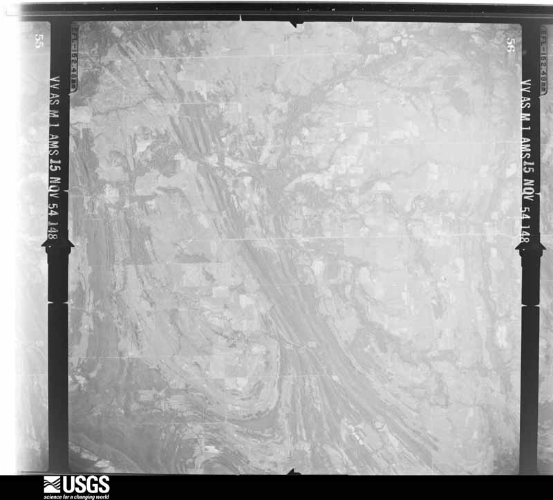
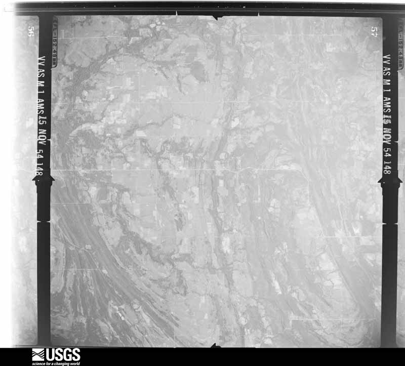
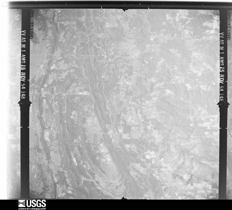
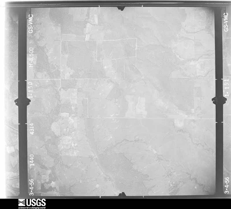
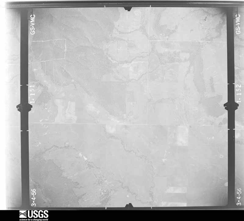
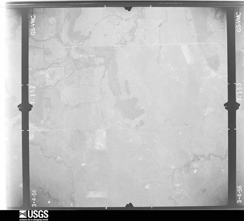
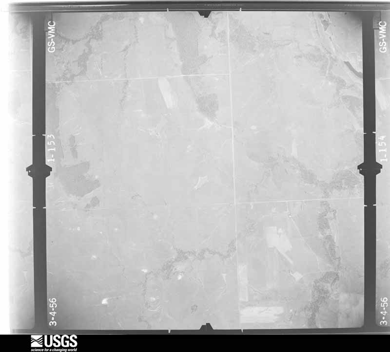
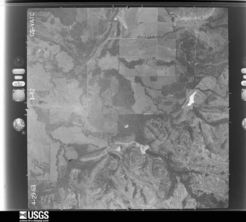
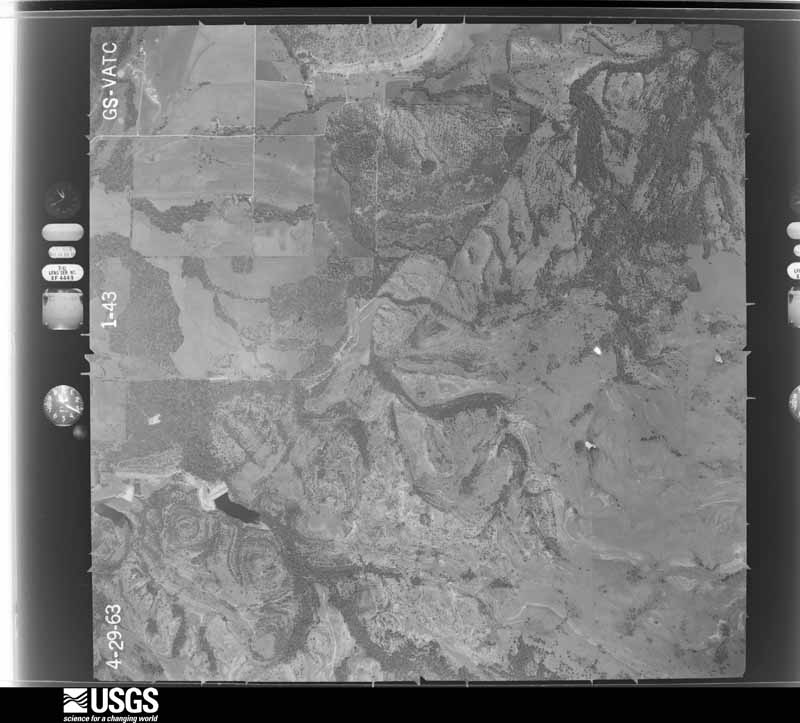
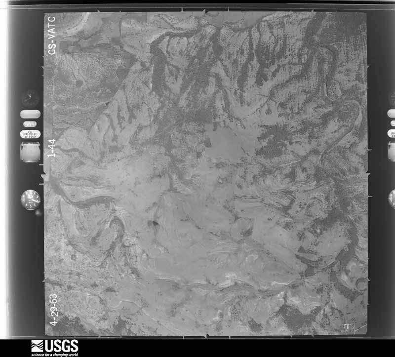
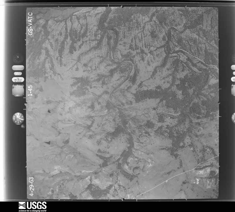
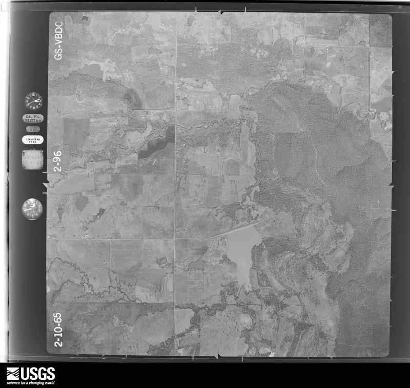
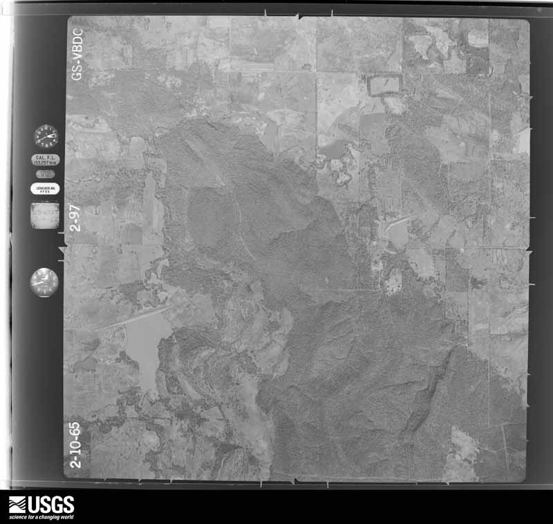
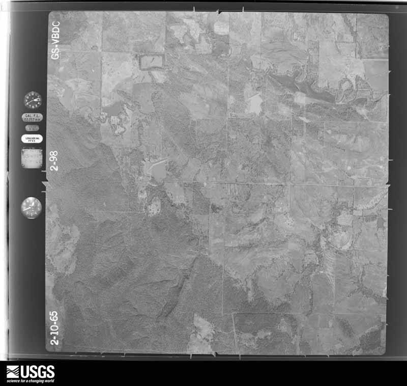
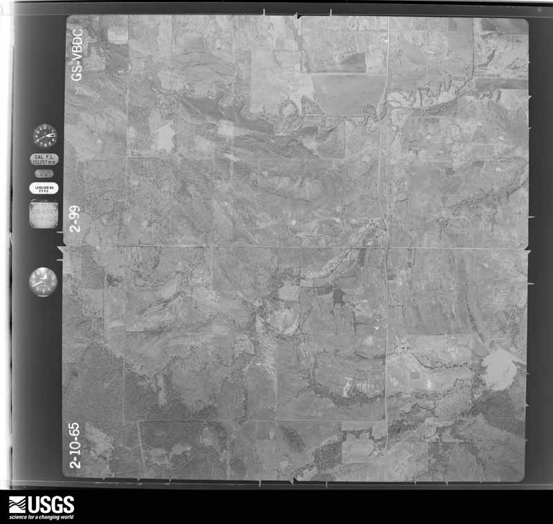
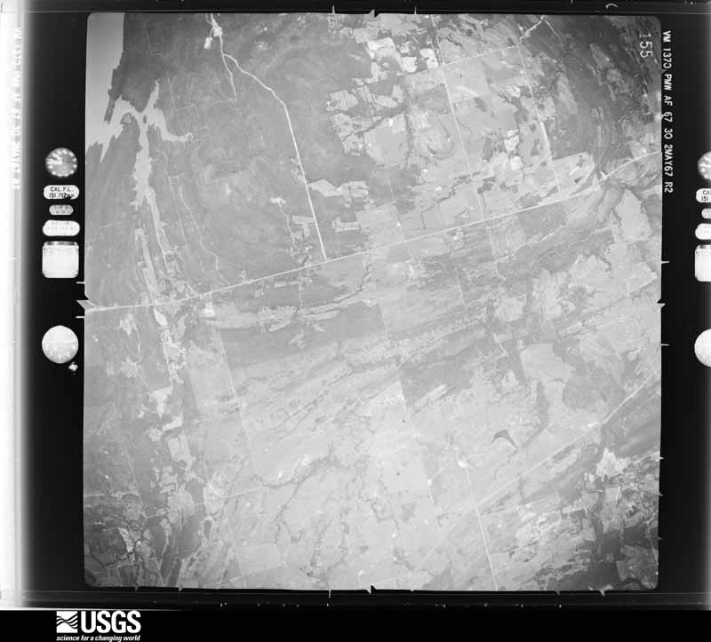
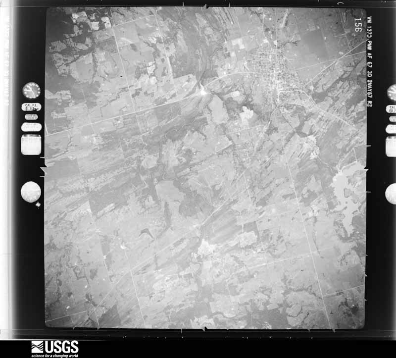
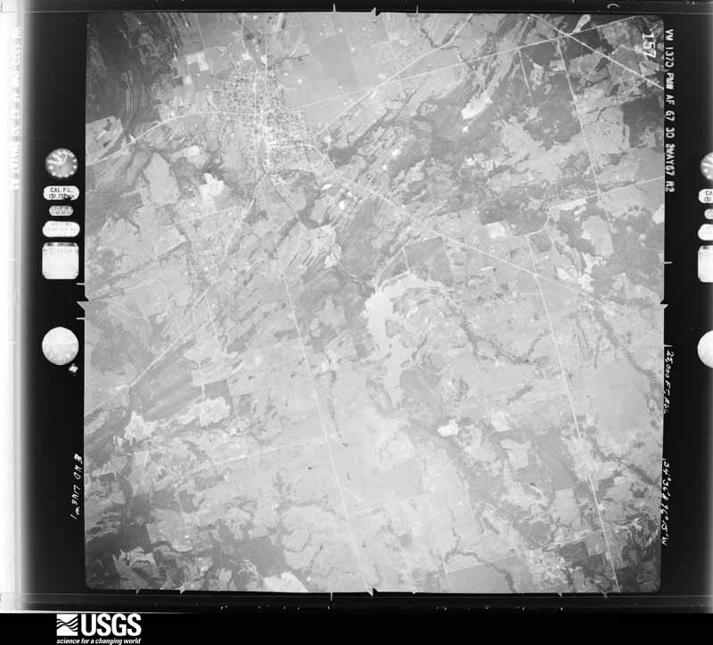
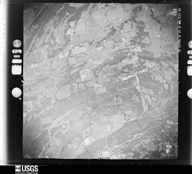
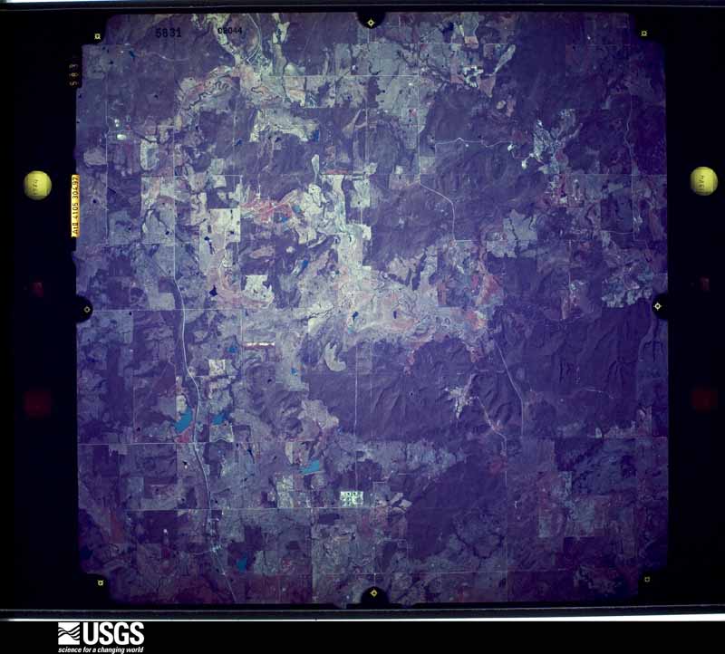
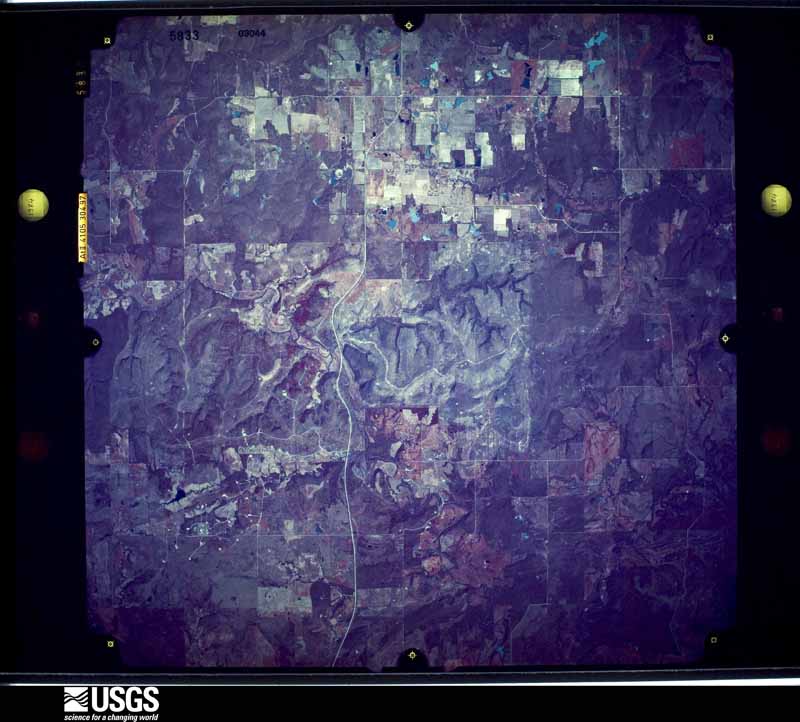
Flown by the U.S. Geological Survey between 1937 and 1989, the Aerial Photo Single Frames collection is the definitive mid-century view of the land: fields, roads and rivers as the camera saw them. The Survey holds 633 frames inside the rectangle that bounds this county; the 32 frames below were taken over the county itself, chosen across the decades of flights (at most four a year from that rectangle), so one flight cannot crowd out the rest. The full set is free to browse and download at EarthExplorer under the dataset Aerial Photo Single Frames.
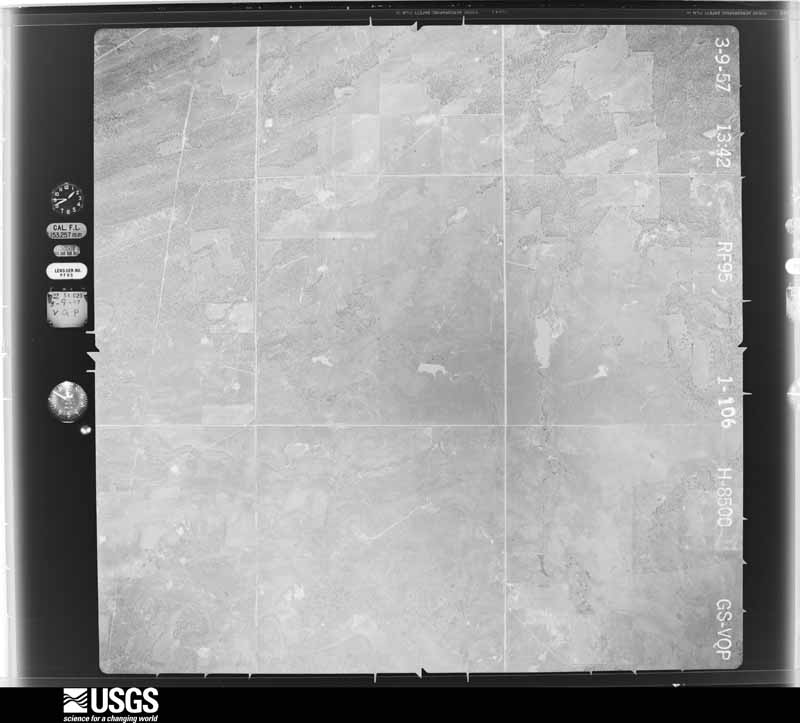
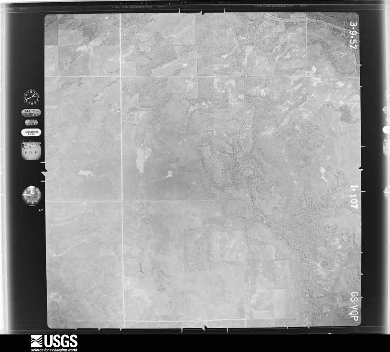
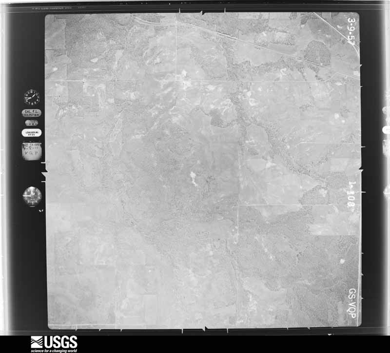
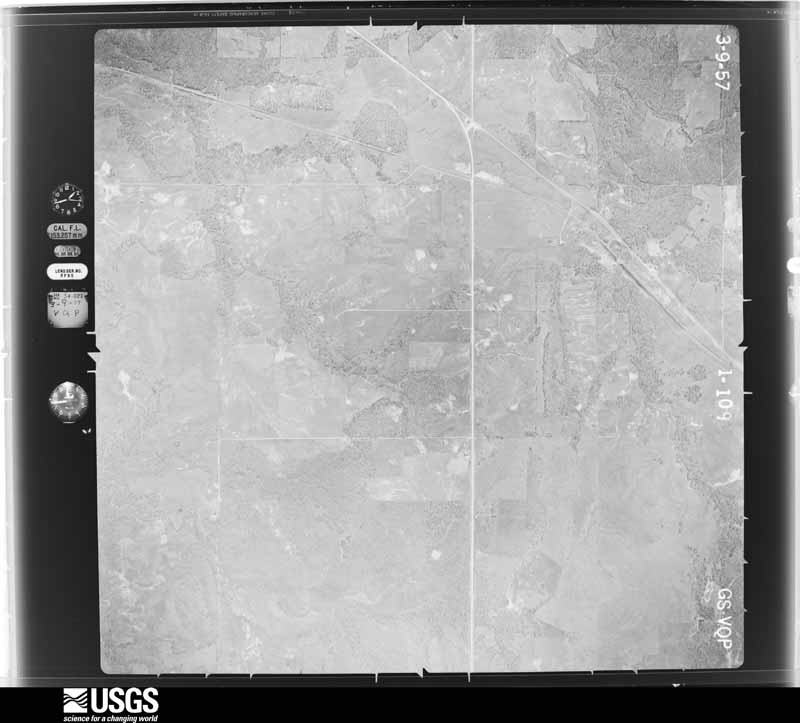
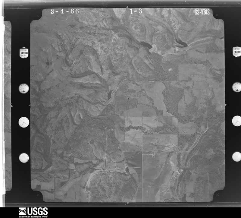
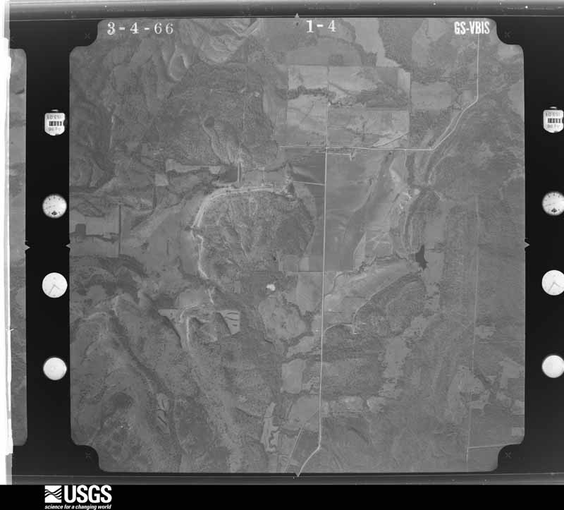
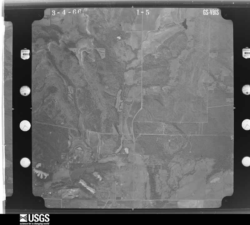
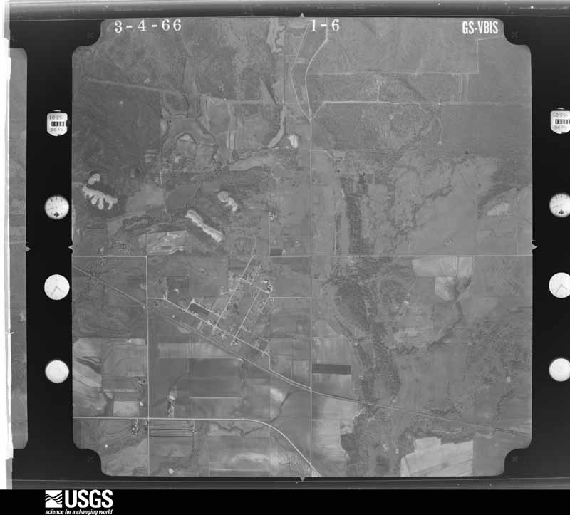


The thermometers that kept this county's weather, and the gages that measured the flow of its streams, as the federal records hold them. The extremes below are measured values from those records, not estimates.
Who lived here in 1950, one enumeration district at a time, as the Census Bureau described each district. Each row opens its official National Archives result, with Population Schedules and ED Maps available there.
Every wildfire the federal occurrence database records inside this county: 50 of them, burning about 13,508 acres. 7 started naturally and 18 were recorded as arson. Each settlement page carries the fires within five miles of it.
| Reported cause | Fires |
|---|---|
| Missing data/not specified/undetermined | 19 |
| Arson/incendiarism | 18 |
| Natural | 7 |
| Equipment and vehicle use | 3 |
| Debris and open burning | 2 |
| Other causes | 1 |
The five largest, by the area the report gives. Two of them were set deliberately.
| Date | Cause | Size | Reported by | Name on the report |
|---|---|---|---|---|
| 18 February 1996 | Arson/incendiarism | 4,000 acres | Chickasaw Agency | CODY |
| 2 January 2006 | Missing data/not specified/undetermined | 2,000 acres | Oklahoma Division of Forestry | HOPKINS |
| 7 January 2006 | Arson/incendiarism | 1,800 acres | Talihina Agency | NON |
| 2 January 2006 | Equipment and vehicle use | 1,200 acres | Talihina Agency | HICKS |
| 21 December 2016 | Missing data/not specified/undetermined | 750 acres | Oklahoma Division of Forestry | TENTAN FIRE |
| 13 February 2015 | Missing data/not specified/undetermined | 650 acres | Oklahoma Division of Forestry | COAL CREEK FIRE |
| 29 December 1999 | Missing data/not specified/undetermined | 350 acres | Chickasaw Agency | JESSIE |
| 2 March 2007 | Debris and open burning | 346 acres | Chickasaw Agency | BURK VALLEY |
Every settlement page carries the fires within five miles of it - see the settlement index below.
The NOAA Storm Events Database holds 270 reports for this county, causing 2 deaths, 8 injuries and about $7,150,820 in recorded property damage. Each settlement page carries the reports that name it.
| Kind of event | Reports |
|---|---|
| Hail | 150 |
| Thunderstorm Wind | 68 |
| Tornado | 31 |
| Flash Flood | 18 |
| Lightning | 2 |
| Flood | 1 |
The most serious of them, by death, then injury, then recorded damage. The accounts are quoted exactly as the forecast office filed them.
| When | Event | Place named | Harm | What the report says |
|---|---|---|---|---|
| April 2001 | Tornado (F2) | Coalgate | 1 killed, 1 hurt, $75,000 | This tornado formed 4 miles southeast of Coalgate and tracked northeastward for 8 miles before crossing into northwest Atoka County at 0434 CST (See following entry for information about the Atoka County segment). The tornado then continued for another 5 miles before dissipating at 0440 CST. In Coal County, 1 fatalilty and injuries to another person occurred when a mobile home was thrown approximately 200 yards and disintegrated 4 miles east of Coalgate. In addition, a well-constructed frame home suffered severe roof damage and exterior wall damage in extreme eastern Coal County. |
| May 2015 | Flood | Tupelo | 1 killed, $20,000 | Flooding occurred following several rounds of heavy rainfall. One fatality occurred when a truck stalled in floodwater and the occupant attempted to get out of the vehicle. The individual was swept away and perished. The incident occurred near Norfleet Rd and county road 3170 in rural Coal county. |
| April 1994 | Hail | Bromide | 3 hurt, $5,000,000 | no account filed |
| May 2019 | Tornado (EF0) | Cottonwood | 3 hurt, $25,000 | A brief QLCS tornado caused damage at a natural gas production facility that was under construction about 8 miles north-northeast of Coalgate. Multiple large shipping containers were blown over and light frame structures were damaged. Flying debris damaged numerous vehicles and injured 3 people. |
| May 1992 | Tornado (F3) | not stated | 1 hurt, $250,000 | no account filed |
| April 1994 | Hail | Bromide | $500,000 | no account filed |
| April 2001 | Tornado (F2) | Tupelo | $400,000 | This tornado formed in Pontotoc County and crossed into Coal County at approximately 0349 CST, then re-entered Pontotoc County at approximately 0356 CST. Nineteen power transmission towers, 3 for major trunk power lines, were downed across this area. |
| May 1992 | Tornado (F2) | not stated | $250,000 | no account filed |
| August 2003 | Thunderstorm Wind | Lehigh | $100,000 | Shingles were blown off many roofs. Some sheds and porches were damaged. Numerous trees were downed and some trees were blown onto homes. A few barns were also destroyed. Some power poles were snapped. A mobile home was also destroyed. The roof and one end of the mobile home was ripped off. The metal roof of a chicken pen was ripped off along with dog pens blown away. One of the roosters in the chicken pen was plucked of all feathers. |
| February 2009 | Thunderstorm Wind | Olney | $85,000 | The Coal County Emergency Manager reported four large barns destroyed and several outbuildings destroyed, including a dog kennel and home. An unanchored mobile home was moved off its fame and its windows were broken. Monetary damages were estimated. |
| June 1998 | Thunderstorm Wind | Countywide | $80,000 | Severe thunderstorm winds estimated at 60 mph caused widespread damage across Coal County. Trees and power poles were downed throughout the county. The most extensive structural damage occured in Coalgate where several roofs were blown off houses, barns were damaged or destroyed, a restaurant lost its roof, and a lumberyard sustained $25,000 in damage to its roof. Countless trees and power poles were toppled, including several large trees that landed on buildings. Other structural damage was reported in Lehigh and Centrahoma. In Lehigh a porch was destroyed and the roof was torn off an office building. In Centrahoma an unoccupied mobile home was literally wrapped around a tree and destroyed by the severe winds. |
| April 2025 | Tornado (EF1) | Lehigh | $75,000 | The roof of a home was damaged, a shed destroyed and numerous trees were damaged just west of the Coal-Atoka County line near E1770 Road. |
| August 2003 | Thunderstorm Wind | Coalgate | $60,000 | Several businesses suffered roof damage along with a front plate glass window broken out. Several signs and billboards were damaged. A storage shed was also lifted and moved, landing upside down in a driveway. Privacy fence was downed. The ticket booth at the football field was turned over. The baseball park also suffered damage. A dugout made of concrete blocks, a metal frame and roof was destroyed. Light poles were also downed. |
| February 2009 | Thunderstorm Wind | Coalgate | $40,000 | Several large signs were blown down. Minor roof damage was reported to some homes and business'. Reported by the Coal County Emergency Management. Monetary damages were estimated. |
| May 2016 | Tornado (EF1) | Lehigh | $30,000 | Although the center line of this tornado did not move into Coal County from Atoka County until one-third of a mile west of US-75, the north edge of the tornado had expanded into Coal County producing tree damage 7 miles farther west, to the west of NS-376 Road. As the tornado approached US-75, the tornado produced slight roof damage to a house on Mockingbird Lane just north of the county line. The tornado damaged a radio station building at US-75 as the center line crossed into Coal County and began moving northeast. The tornado continued moving northeast through a rural area of southeastern Coal County before turning back to the east and moving into Atoka County near EW-177 Road. |
| May 2013 | Tornado (EF1) | Lehigh | $30,000 | Emergency management and spotters reported a tornado near Lehigh. Damage to trees and outbuildings occurred. Damages estimated. |
| April 1950 | Tornado (F2) | not stated | $25,000 | no account filed |
| August 2003 | Thunderstorm Wind | Cottonwood | $15,000 | Many trees and roofs were damaged. There was also some structural damage. |
| February 2009 | Thunderstorm Wind | Coalgate | $12,000 | Five large telephone poles were blown down. Monetary damages were estimated. |
| May 2020 | Thunderstorm Wind | Coalgate | $10,000 | Tree limbs down, damages to multiple roofs in town. Time estimated by radar. |
| May 2020 | Thunderstorm Wind | Lehigh | $10,000 | Roof damage, church in town had metal roof peeled off and hanging in power lines. Power lines downed and tree damage. |
| October 2016 | Thunderstorm Wind | Olney | $10,000 | Coal county emergency management reported numerous large trees down between Clarita and Olney. Reported a tree down on a house and several car ports. Also several power poles down along state highway 31b. |
| April 2005 | Thunderstorm Wind | Coalgate | $7,500 | An 18 inch diameter tree was blown onto a house causing roof damage. |
| April 2019 | Tornado (EF1) | Lehigh | $5,000 | The Lehigh cooperative observer noted a 20-30 yard wide path of damage to Blackjack Oak trees southwest of Lehigh. |
| July 2017 | Thunderstorm Wind | Cottonwood | $5,000 | Five power lines were downed from strong winds near the intersection of Avazini and Polk roads. |
| July 2009 | Thunderstorm Wind | Lehigh | $5,000 | Several tree limbs greater than six inches in diameter were blown down. Monetary damages were estimated. |
| July 2009 | Thunderstorm Wind | Olney | $3,000 | A 25-foot tall, one-foot diameter hickory tree was blown over. Monetary damages were estimated. |
| April 1998 | Thunderstorm Wind | Coalgate | $2,500 | Severe thunderstorm winds destroyed a barn near the junction of Highways 3 and 75. Power lines and trees were also downed across Coal County. |
| May 1992 | Tornado (F1) | not stated | $2,500 | no account filed |
| May 1981 | Tornado (F2) | not stated | $2,500 | no account filed |
| March 1963 | Tornado (F2) | not stated | $2,500 | no account filed |
| May 1954 | Tornado (F1) | not stated | $2,500 | no account filed |
| May 2017 | Thunderstorm Wind | Coalgate | $2,000 | Multiple trees and power lines were downed on the south side of Coalgate. |
| April 2017 | Lightning | Phillips | $2,000 | Lightning strike caused home and tree damage at a residence on US highway 75. Time is estimated based on report and radar data. |
| April 2016 | Thunderstorm Wind | Olney | $2,000 | Winds caused some roof damage. |
| October 2011 | Thunderstorm Wind | Lehigh | $2,000 | A 36-inch diameter tree was blown down. Several smaller trees/limbs were blown down as well. Monetary damages were estimated. |
| July 2016 | Thunderstorm Wind | Centrahoma | $1,000 | Several trees and limbs were downed by damaging winds. Power pole was snapped. |
| June 1998 | Thunderstorm Wind | Coalgate | $600 | Severe thunderstorm winds downed trees and power lines. |
| July 1994 | Thunderstorm Wind | Lehigh | $500 | no account filed |
| June 1982 | Tornado (F0) | not stated | $250 | no account filed |
| July 1954 | Tornado (F2) | not stated | $250 | no account filed |
| August 1997 | Thunderstorm Wind | Clarita | $100 | A three-foot diameter tree was uprooted. |
| June 2003 | Thunderstorm Wind | Centrahoma | $50 | Several tree limbs were downed. |
| May 1981 | Tornado (F1) | not stated | $30 | no account filed |
| September 2002 | Thunderstorm Wind | Centrahoma | $10 | Six inch diameter tree limbs were downed. |
| May 2001 | Thunderstorm Wind | Lehigh | $10 | Tree limbs were downed. |
| September 2001 | Thunderstorm Wind | Olney | $10 | Large tree limbs were downed. |
| June 1997 | Thunderstorm Wind | Centrahoma | $10 | Several three to four inch diameter tree limbs were blown down. |
| March 2025 | Thunderstorm Wind | Lehigh | - | Estimated wind gust. |
| May 2025 | Hail | Cottonwood | - | The report was relayed through mPING. The event time is adjusted based on radar observations. |
| November 2024 | Tornado (EFU) | Tupelo | - | A storm spotter reported a tornado crossing State Highway 3 about halfway between Stonewall and Tupelo. No damage was reported. |
| November 2024 | Tornado (EFU) | Cottonwood | - | A storm chaser observed a cone-shaped tornado a few miles north of Atoka. No damage was reported, and based on radar data and the chaser report, this tornado was estimated to be just inside Coal County to the southeast of Coalgate and Cottonwood. |
| May 2024 | Hail | Cottonwood | - | MPing report. Based on radar evidence, hailfall likely occurred prior (1125-1130 LST) to report time. |
| May 2024 | Hail | Cottonwood | - | MPing report. |
| August 2023 | Thunderstorm Wind | Centrahoma | - | Centrahoma (CENT) Mesonet observation. |
| May 2022 | Thunderstorm Wind | Lehigh | - | Several trees downed. |
| January 2020 | Flash Flood | Tupelo | - | Water flowing across Highway 48 in many spots and the town of tupelo has flooding in town. |
| May 2020 | Thunderstorm Wind | Lehigh | - | Estimated severe wind gust. |
| April 2020 | Tornado (EF0) | Olney | - | Two independent storm chasers provided video of a tornado that was observed southwest of Lehigh from a storm that followed behind the storm that had produced the tornado near Bromide and Wapanucka. No damage is known to have occurred and the location of the tornado is estimated based on these videos and radar data. |
| September 2020 | Flash Flood | Coalgate | - | Some streets in town closed due to high waters. |
The Survey's mineral resources record lists 25 workings inside this county. 2 still produce and 23 are closed or unrecorded. Each settlement page carries the workings within five miles of it.
| Commodity | Workings |
|---|---|
| Clay | 10 |
| Sand and Gravel, Construction | 8 |
| Manganese | 4 |
| Stone, Crushed/Broken | 2 |
| Iron, Manganese | 1 |
The least common of them first, because a county's hundredth gravel pit says nothing its first ten did not.
| Where | Site | Commodity | Status | Recorded |
|---|---|---|---|---|
| Moseley Creek Number 4 | Iron, Manganese | Prospect | 1897 | |
| Dolese Limestone Pit | Stone, Crushed/Broken | Producer | ||
| Unknown Sandstone Pit | Stone, Crushed/Broken | Producer | ||
| Moseley Creek No 1 Bromide | Manganese | Prospect | 1890 | |
| Moseley Creek No 2 Bromide | Manganese | Prospect | 1890 | |
| Moseley Creek No 3 Bromide | Manganese | Past Producer | 1892 | |
| Springbrook Deposit Bromide | Manganese | Prospect | 1919 | |
| Unknown Gravel Pit | Sand and Gravel, Construction | Past Producer | ||
| Unknown Gravel Pit | Sand and Gravel, Construction | Past Producer | ||
| Unknown Gravel Pit | Sand and Gravel, Construction | Past Producer | ||
| Unknown Gravel Pit | Sand and Gravel, Construction | Past Producer | ||
| Unknown Gravel Pit | Sand and Gravel, Construction | Past Producer | ||
| Unknown Sand Pit | Sand and Gravel, Construction | Past Producer | ||
| Unknown Sand Pit | Sand and Gravel, Construction | Past Producer | ||
| Unknown Shale Pit | Sand and Gravel, Construction | Past Producer | ||
| Unknown Shale Pit | Clay | Past Producer | ||
| Unknown Shale Pit | Clay | Past Producer | ||
| Unknown Shale Pit | Clay | Past Producer | ||
| Unknown Shale Pit | Clay | Past Producer | ||
| Unknown Shale Pit | Clay | Past Producer | ||
| Unknown Shale Pit | Clay | Past Producer | ||
| Unknown Shale Pit | Clay | Past Producer | ||
| Unknown Shale Pit | Clay | Past Producer | ||
| Unknown Shale Pit | Clay | Past Producer | ||
| Unknown Shale Pit | Clay | Past Producer |
Named settlements recorded in the Geographic Names Information System, each with the topographic sheets covering it. Villages, hamlets and abandoned places alike. Each is shown with the nearest named watercourse or landform and the survey quadrangle it falls on. The 2 places that were also surveyed for fire insurance come first, with the number of atlases and photographs held for them.
East Coal census division · 74538 · On Coon Creek · Coalgate quadrangle
14 sheets, 1896 to 1990
Fire insurance: 10 atlases
East Coal census division · 74556 · Lehigh quadrangle
17 sheets, 1899 to 1985
Fire insurance: 8 atlases
East Coal census division · 74538 · On Coon Creek · Coalgate quadrangle
14 sheets, 1896 to 1990
East Coal census division · 74538 · On Sulphur Creek · Coalgate quadrangle
14 sheets, 1896 to 1990
14 topographic sheets and 10 fire insurance atlases, 1894 to 1944
17 topographic sheets and 8 fire insurance atlases, 1894 to 1918