 Block
From the record
9 National Register listings published here.
Sources: the National Register database, National Park Service
61 topographic sheets and 16 fire insurance atlases across 5 places.
9 National Register listings published here.
Sources: the National Register database, National Park Service
Every property in this county listed on the National Register of Historic Places, with the year it was listed and the federal nomination document.
| Photograph | Property | Type | Listed | Reference |
|---|---|---|---|---|
| Cotton Storage House | structure | 1980 | 80003263 | |
 | Haskell County Courthouse | building | 1984 | 84003061 |
 | Kinta High School | building | 1988 | 88001383 |
| Edmund McCurtain House | building | 1980 | 80003265 | |
| Green McCurtain House | building | 1971 | 71000661 | |
| Scott Store | building | 1980 | 80003264 | |
 | Stigler School Gymnasium-Auditorium | building | 1988 | 88001384 |
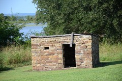 | Tamaha Jail and Ferry Landing | building | 1980 | 80003266 |
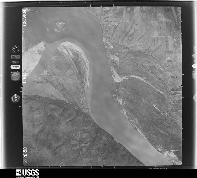
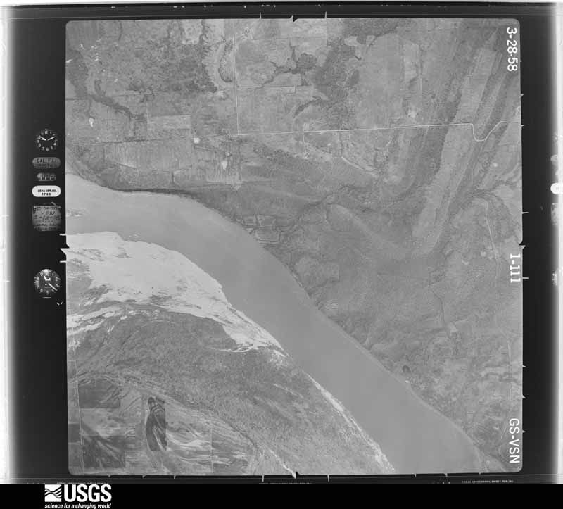
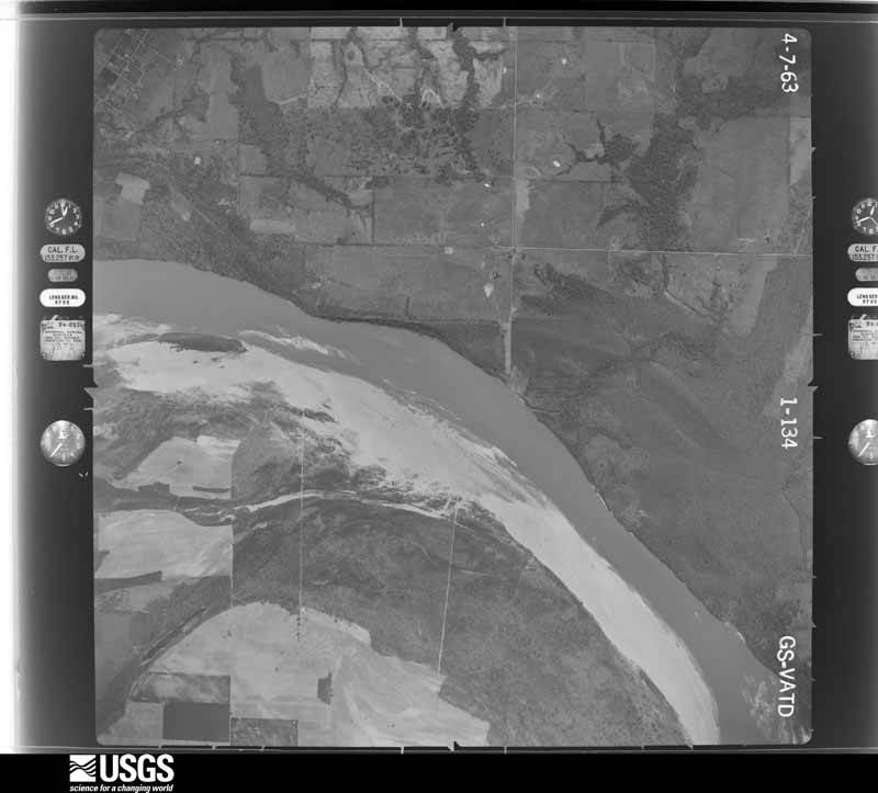
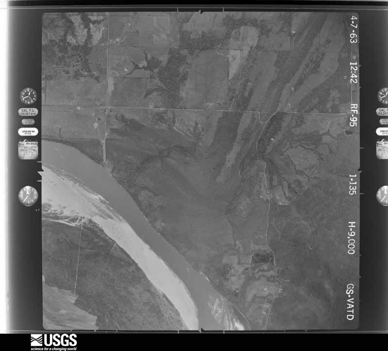
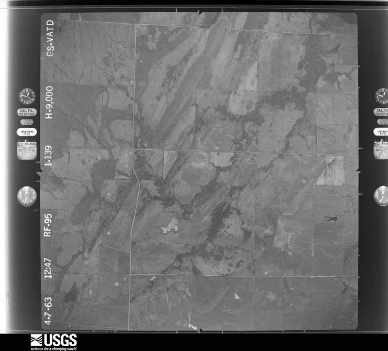
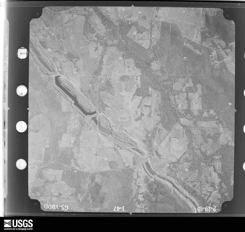
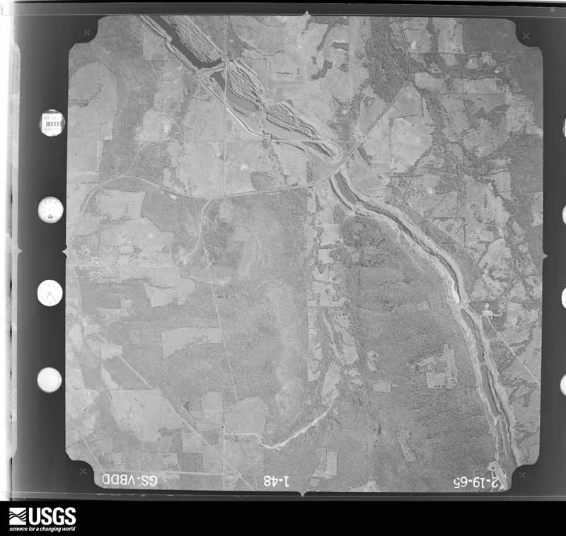
Flown by the U.S. Geological Survey between 1937 and 1989, the Aerial Photo Single Frames collection is the definitive mid-century view of the land: fields, roads and rivers as the camera saw them. The Survey holds 836 frames inside the rectangle that bounds this county; the 33 frames below were taken over the county itself, chosen across the decades of flights (at most four a year from that rectangle), so one flight cannot crowd out the rest. The full set is free to browse and download at EarthExplorer under the dataset Aerial Photo Single Frames.



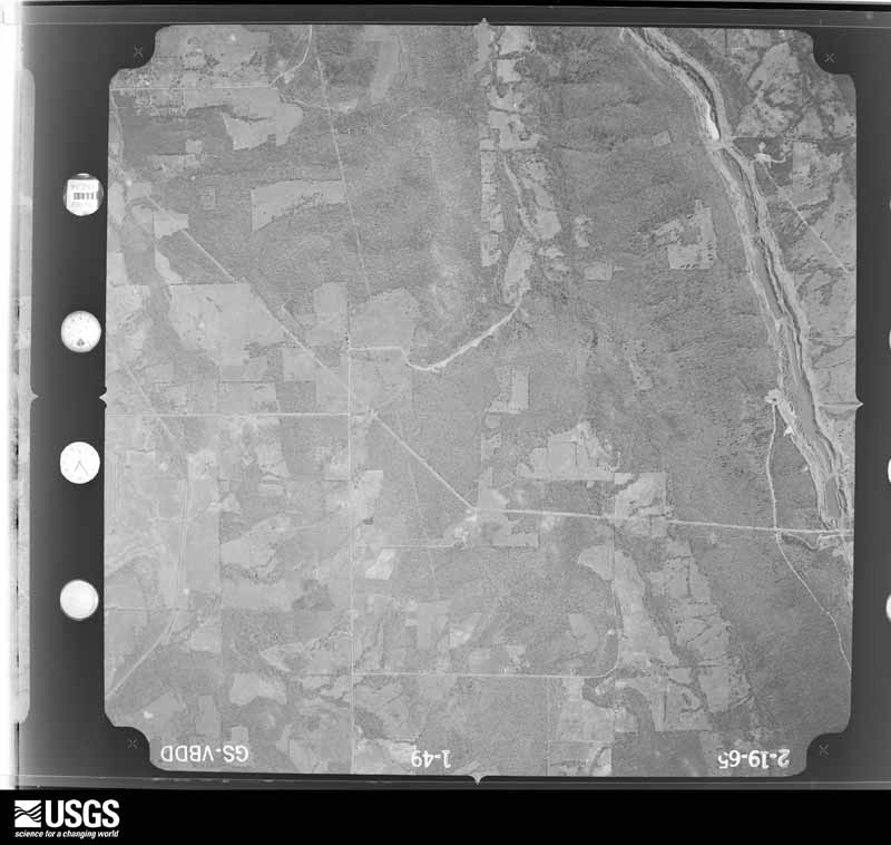
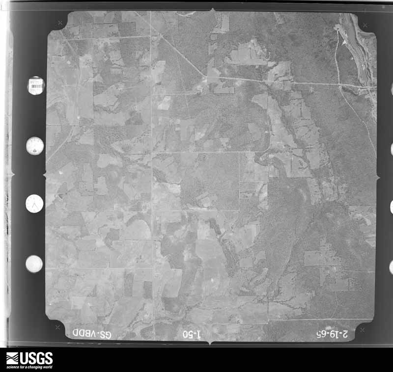
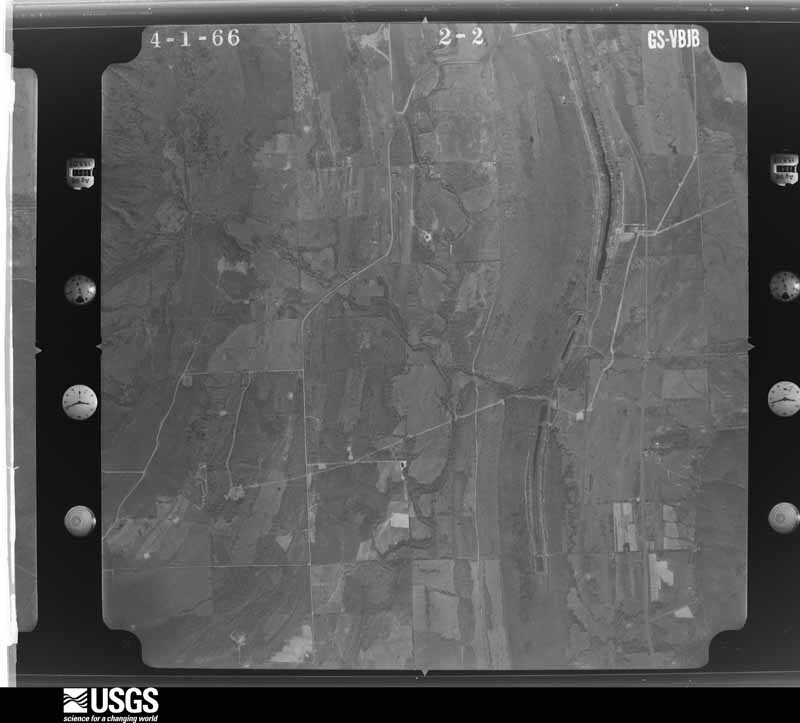
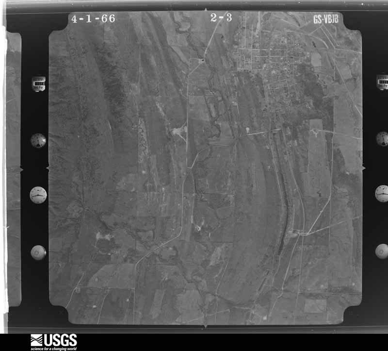
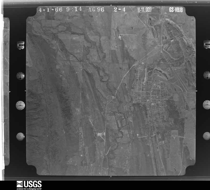
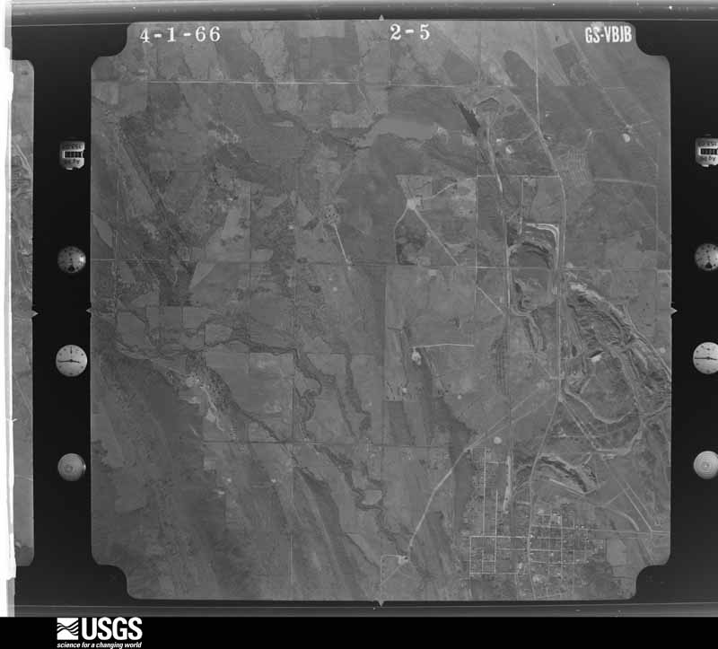

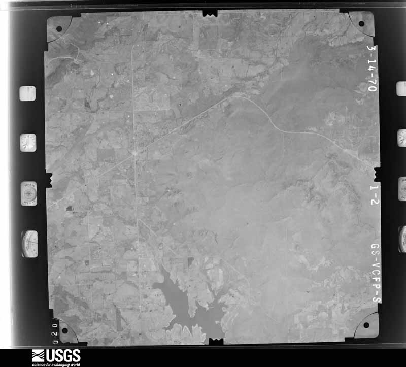








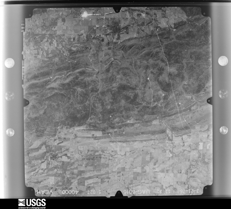






The thermometers that kept this county's weather, and the gages that measured the flow of its streams, as the federal records hold them. The extremes below are measured values from those records, not estimates.
Who lived here in 1950, one enumeration district at a time, as the Census Bureau described each district. Each row opens its official National Archives result, with Population Schedules and ED Maps available there.
Every wildfire the federal occurrence database records inside this county: 937 of them, burning about 54,237 acres. 32 started naturally and 360 were recorded as arson. Each settlement page carries the fires within five miles of it.
| Reported cause | Fires |
|---|---|
| Arson/incendiarism | 360 |
| Missing data/not specified/undetermined | 304 |
| Debris and open burning | 160 |
| Equipment and vehicle use | 46 |
| Natural | 32 |
| Recreation and ceremony | 12 |
| Smoking | 9 |
| Misuse of fire by a minor | 8 |
| Railroad operations and maintenance | 6 |
The five largest, by the area the report gives. Five of them were set deliberately.
| Date | Cause | Size | Reported by | Name on the report |
|---|---|---|---|---|
| 31 January 2017 | Arson/incendiarism | 5,240 acres | Oklahoma Division of Forestry | not named |
| 4 March 2012 | Arson/incendiarism | 1,200 acres | Oklahoma Division of Forestry | 20043 |
| 17 February 2014 | Arson/incendiarism | 1,116 acres | Oklahoma Division of Forestry | not named |
| 10 April 1996 | Missing data/not specified/undetermined | 1,100 acres | Oklahoma Division of Forestry | not named |
| 27 March 2013 | Debris and open burning | 1,000 acres | Oklahoma Division of Forestry | MCCURTAIN 3722 |
| 8 February 2016 | Arson/incendiarism | 1,000 acres | Oklahoma Division of Forestry | not named |
| 1 March 2020 | Arson/incendiarism | 989 acres | Oklahoma Division of Forestry | BROOKEN MOUNTAIN |
| 12 September 2002 | Missing data/not specified/undetermined | 950 acres | Oklahoma Division of Forestry | LONE STAR |
Every settlement page carries the fires within five miles of it - see the settlement index below.
The NOAA Storm Events Database holds 445 reports for this county, causing 3 deaths, 9 injuries and about $5,579,900 in recorded property damage. Each settlement page carries the reports that name it.
| Kind of event | Reports |
|---|---|
| Hail | 201 |
| Thunderstorm Wind | 164 |
| Flash Flood | 39 |
| Tornado | 33 |
| Flood | 5 |
| Funnel Cloud | 3 |
The most serious of them, by death, then injury, then recorded damage. The accounts are quoted exactly as the forecast office filed them.
| When | Event | Place named | Harm | What the report says |
|---|---|---|---|---|
| May 1960 | Tornado (F4) | not stated | 3 killed, 6 hurt, $2,500,000 | no account filed |
| April 1957 | Tornado (F2) | not stated | 2 hurt, $25,000 | no account filed |
| May 2003 | Tornado (F0) | Stigler | 1 hurt, $30,000 | A F0 tornado touched down just north of Stigler and traveled two miles east northeast before dissipating.One mobile home was destroyed and several trees were damaged. The person who was in the mobile home was injured. |
| April 2017 | Flash Flood | Kinta | $500,000 | Approximately 40 structures were damaged by flood waters. Numerous roads were flooded in town. |
| May 2001 | Thunderstorm Wind | Stigler | $500,000 | Thunderstorm winds severely damaged the Cookson Hills Electric Cooperative building and the Alumbaugh Health Clinic. Three doors on the Haskell County district county barn were damaged as were four bay doors at the Speedy Lube business. The building housing the Stigler livestock auction was also damaged as was the press box at the high school football stadium. Several homes also likely received garage door and roof damage. |
| October 1997 | Thunderstorm Wind | Whitefield | $350,000 | no account filed |
| March 1982 | Tornado (F1) | not stated | $250,000 | no account filed |
| May 2003 | Tornado (F1) | Cartersville | $150,000 | A F1 tornado touched down about a mile west southwest of Cartersville and traveled east producing extensive damage to 4 homes and destroying several outbuildings. The tornado continued moving east crossed over into Le Flore county before dissipating 2.8 miles north northwest of Bokeshe. |
| May 2005 | Thunderstorm Wind | Mc Curtain | $100,000 | Thunderstorm winds estimated at 80 miles an hour damaged outbuildings and blew down power lines.The winds damaged several homes as well. |
| April 2001 | Tornado (F1) | Stigler | $100,000 | A F1 tornado touched down 4 miles north of Stigler and traveled 3 miles before it lifted 5 miles southwest of Tamaha. A roof of a house and a porch were tore off and six barns were destroyed. In addition numerous trees were damaged and several power lines were blown down. Winds associated with the parent storm of this tornado gusted to 91 miles an hour at the mesonet site 3 miles northwest of Stigler. |
| November 2011 | Thunderstorm Wind | Lequire | $75,000 | A single family home was damaged by thunderstorm winds. Several outbuildings and trailers were also severely damaged by the wind. |
| June 1998 | Tornado (F2) | Kinta | $60,000 | An F2 tornado destroyed one single family dwelling, while another single family dwelling received major damage. |
| November 2020 | Tornado (EF1) | Lewisville | $50,000 | This tornado destroyed a mobile home, snapped wooden utility poles, damaged the roofs of a couple homes, and snapped large tree limbs as it moved northeast. Based on this damage, maximum estimated wind in the tornado was 95 to 105 mph. |
| June 2013 | Flash Flood | Stigler | $50,000 | Numerous streets were flooded and subsequently closed. Flood water rose into a few homes. |
| April 2011 | Flash Flood | Whitefield | $50,000 | Portions of Highways 82 and 31 were flooded, as were a number of county roads, resulting in closures. Numerous vehicles were stranded in the flood water. |
| September 2010 | Flash Flood | Enterprise | $50,000 | The Haskell County Sheriff's Office reported Highway 71 between Enterprise and Quinton closed due to high water. Some county roads were washed out. |
| April 2008 | Thunderstorm Wind | Lequire | $50,000 | Thunderstorm winds estimated at 80 miles an hour blew down power poles and destroyed outbuildings and barns. |
| April 2008 | Hail | Kinta | $50,000 | Baseball size hail damaged homes and automobiles. |
| November 1994 | Thunderstorm Wind | Whitefield | $50,000 | Severe thunderstorms redeveloped in eastern Oklahoma during the early morning of November 4th. Several barn roofs were damaged and large tree limbs were downed by strong thunderstorm winds just west of Whitefield, and a large tree limb was downed 5 miles south of Broken Arrow. Thunderstorm winds gusted to 60 miles an hour 7 miles southwest of Skiatook, 2 miles northwest of Coweta, and at Featherston. Quarter size hail fell at the intersection of 51st Street South and Yale Avenue in the city of Tulsa. |
| June 2007 | Hail | Mc Curtain | $50,000 | no account filed |
| May 1999 | Tornado (F0) | Mc Curtain | $44,000 | An F0 tornado touched down 2 miles southwest of McCurtain and tracked to south of Keota. Along the way, the tornado heavily damaged several barns, knocked down numerous power lines, and uprooted numerous trees. The McCurtain area was especially hard-hit with numerous downed trees that blocked several roadways. |
| May 2022 | Hail | Keota | $30,000 | Golf ball size hail damaged homes and vehicles. |
| May 2015 | Thunderstorm Wind | Keota | $30,000 | A large tree fell onto a house, significantly damaging the structure. |
| June 2009 | Tornado (EF0) | Kinta | $30,000 | A tornado damaged two barns, uprooted a tree, and damaged a home on the east side of town. |
| March 2006 | Thunderstorm Wind | Stigler | $25,000 | An Oklahoma mesonet site near Stigler recorded a 74 mile an hour wind gust. The strong wind damaged outbuildings, removed large sections of metal roofing from structures, and damaged signs. |
| June 2009 | Hail | Enterprise | $25,000 | no account filed |
| November 1988 | Tornado (F0) | not stated | $25,000 | no account filed |
| June 1986 | Tornado (F0) | not stated | $25,000 | no account filed |
| November 2004 | Flash Flood | Countywide | $20,000 | Heavy thunderstorm rains caused minor washouts of a few county roads across Haskell County. |
| April 2001 | Thunderstorm Wind | Stigler | $20,000 | Thunderstorm winds damaged three houses. |
| June 2001 | Flash Flood | Keota | $20,000 | Four to six inches of rain caused several roads and low water bridges to be washed out. |
| March 2009 | Thunderstorm Wind | Stigler | $15,000 | Thunderstorm winds estimated at 70 miles an hour blew down an outbuilding. A travel trailer was also blown over. |
| June 2005 | Thunderstorm Wind | Enterprise | $15,000 | Thunderstorm winds estimated at 60 miles an hour blew over several sheds. |
| March 2012 | Hail | Whitefield | $15,000 | no account filed |
| December 2015 | Flood | Enterprise | $10,000 | Portions of Highway 71 were reduced to one lane between Enterprise and Quinton for repairs to drainage structures that were damaged from extensive flooding. |
| July 2012 | Thunderstorm Wind | Mc Curtain | $10,000 | Strong thunderstorm wind damaged the roof of a home, blew down trees, and moved a mobile home 2 feet. |
| May 2005 | Thunderstorm Wind | Keota | $10,000 | Thunderstorm winds estimated at 80 miles an hour damage house. |
| June 2004 | Thunderstorm Wind | Countywide | $10,000 | Widespread wind damage was reported throughout Haskell County with trees and power lines blow down. The event was timed as the leading edge of a bow echo moved into the county. |
| August 2003 | Thunderstorm Wind | Keota | $10,000 | Thunderstorm winds estimated at 80 miles an hour blew trees down and damage the roofs of several homes. |
| June 1999 | Thunderstorm Wind | Stigler | $10,000 | Strong winds blew the window out of a downtown Stigler business. A downtown building had the tin ripped off of its roof. A tree fell over onto a mobile home, trapping its occupant. Power poles and several other small trees were blown over in Stigler. |
| March 2019 | Hail | Stigler | $10,000 | no account filed |
| August 2013 | Hail | Lequire | $10,000 | no account filed |
| April 2010 | Hail | Stigler | $10,000 | no account filed |
| August 2014 | Thunderstorm Wind | Keota | $5,000 | Strong thunderstorm wind snapped large tree limbs and damaged the roofs of homes. |
| September 2012 | Thunderstorm Wind | Keota | $5,000 | Strong thunderstorm wind damaged the roof of a home and snapped many large tree limbs. |
| June 2008 | Thunderstorm Wind | Keota | $5,000 | Thunderstorm winds estimated at 80 miles an hour blew the roof off a barn and blew down several trees. |
| February 2007 | Thunderstorm Wind | Enterprise | $5,000 | Thunderstorm winds estimated at 60 miles an hour blew sheet metal off a building. |
| March 2006 | Thunderstorm Wind | Whitefield | $5,000 | Thunderstorm winds estimated at 70 miles an hour blew down trees and destroyed a few outbuildings. |
| April 2005 | Thunderstorm Wind | Kinta | $5,000 | Thunderstorm winds estimated at 80 miles an hour damaged outbuildings. |
| March 2004 | Thunderstorm Wind | Enterprise | $5,000 | Thunderstorm winds estimated at 60 miles an hour damage the roof and dock of a marina. |
| June 2004 | Thunderstorm Wind | Stigler | $5,000 | Thunderstorm winds estimated at 75 miles an hour blew trees down and ripped shingles from the roofs of some homes. |
| July 2004 | Thunderstorm Wind | Enterprise | $5,000 | Thunderstorm winds estimated at 70 miles an hour damaged a dock at Evergreen Marina. |
| May 2003 | Thunderstorm Wind | Stigler | $5,000 | Thunderstorm winds estimated at 70 miles an hour blew down trees and tree limbs. one tree limb damaged a roof. |
| October 1993 | Thunderstorm Wind | Lequire | $5,000 | An isolated severe thunderstorm during the early morning hours of the 2nd produced strong winds which blew siding off the side of a house 1.5 miles east of Lequire. |
| June 2018 | Hail | Hughart | $5,000 | no account filed |
| March 2015 | Hail | Brooken | $5,000 | no account filed |
| May 2001 | Tornado (F0) | Stigler | $3,000 | Thunderstorm winds produced thousands of dollars of damage in the city of Stigler. The pattern of the damage and spotter reports also indicated that a tornado briefly touched down just southwest of the city of Stigler. |
| April 1996 | Thunderstorm Wind | Keota | $3,000 | no account filed |
| April 1996 | Thunderstorm Wind | Countywide | $3,000 | no account filed |
| May 1986 | Tornado (F0) | not stated | $2,500 | no account filed |
The Survey's mineral resources record lists 15 workings inside this county. 2 still produce and 13 are closed or unrecorded. Each settlement page carries the workings within five miles of it.
| Commodity | Workings |
|---|---|
| Clay | 6 |
| Sand and Gravel, Construction | 5 |
| Flagstone | 2 |
| Pumice, Bentonite | 1 |
| Clay, Sand and Gravel, Construction | 1 |
The least common of them first, because a county's hundredth gravel pit says nothing its first ten did not.
| Where | Site | Commodity | Status | Recorded |
|---|---|---|---|---|
| Unknown Bentonite Pit | Pumice, Bentonite | Past Producer | ||
| Unknown Shale & Sandstone Pit | Clay, Sand and Gravel, Construction | Past Producer | ||
| Hensley Sandstone Quarry | Flagstone | Past Producer | ||
| L B Barbee Sandstone Pit | Flagstone | Producer | ||
| H D Youngman Contr San & Gravel Pit | Sand and Gravel, Construction | Past Producer | ||
| Unknown Sandstone & Shale Pit | Sand and Gravel, Construction | Past Producer | ||
| Unknown Sandstone & Shale Pit | Sand and Gravel, Construction | Past Producer | ||
| Unknown Sandstone & Shale Pit | Sand and Gravel, Construction | Past Producer | ||
| Unknown Silt Pit | Sand and Gravel, Construction | Past Producer | ||
| Unknown Shale Pit | Clay | Past Producer | ||
| Unknown Shale Pit | Clay | Past Producer | ||
| Unknown Shale Pit | Clay | Past Producer | ||
| Unknown Shale Pit | Clay | Past Producer | ||
| Unknown Shale Pit | Clay | Past Producer | ||
| Unknown Shale Pit | Clay | Producer |
Named settlements recorded in the Geographic Names Information System, each with the topographic sheets covering it. Villages, hamlets and abandoned places alike. Each is shown with the nearest named watercourse or landform and the survey quadrangle it falls on. The 5 places that were also surveyed for fire insurance come first, with the number of atlases and photographs held for them.
West Haskell census division · 74561 · Near Brooken Mountain · Enterprise quadrangle
14 sheets, 1900 to 1978
Fire insurance: 4 atlases
Keota census division · 74941 · On Elm Branch · Keota quadrangle
14 sheets, 1900 to 1978
Fire insurance: 2 atlases
Stigler census division · 74462 · Stigler East quadrangle
14 sheets, 1900 to 1978
Fire insurance: 5 atlases
West Haskell census division · 74472 · On Emachaya Creek · Stigler West quadrangle
15 sheets, 1900 to 1978
Fire insurance: 3 atlases
Stigler census division · 74462 · On Cedarburg Creek · Stigler East quadrangle
14 sheets, 1900 to 1978
West Haskell census division · 74462 · Near Little Knob · Quinton North quadrangle
15 sheets, 1900 to 1978
West Haskell census division · 74552 · On Beaver Creek · Kinta quadrangle
15 sheets, 1900 to 1978
McCurtain census division · 74944 · On Andrew Creek · Lequire quadrangle
15 sheets, 1900 to 1978
West Haskell census division · 74552 · On Mountain Fork · Sans Bois quadrangle
13 sheets, 1900 to 1978
14 topographic sheets and 5 fire insurance atlases, 1904 to 1941
14 topographic sheets and 4 fire insurance atlases, 1899 to 1904
15 topographic sheets and 3 fire insurance atlases, 1899 to 1904