 Block
From the record
12 National Register listings published here.
Sources: the National Register database, National Park Service
35 topographic sheets and 15 fire insurance atlases across 4 places.
12 National Register listings published here.
Sources: the National Register database, National Park Service
Taken for the Office of War Information and the Farm Security Administration, who photographed the country between 1935 and 1944. Works of United States government photographers, with no known restriction on use. Each opens its catalogue record.
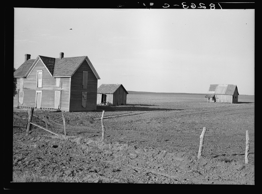
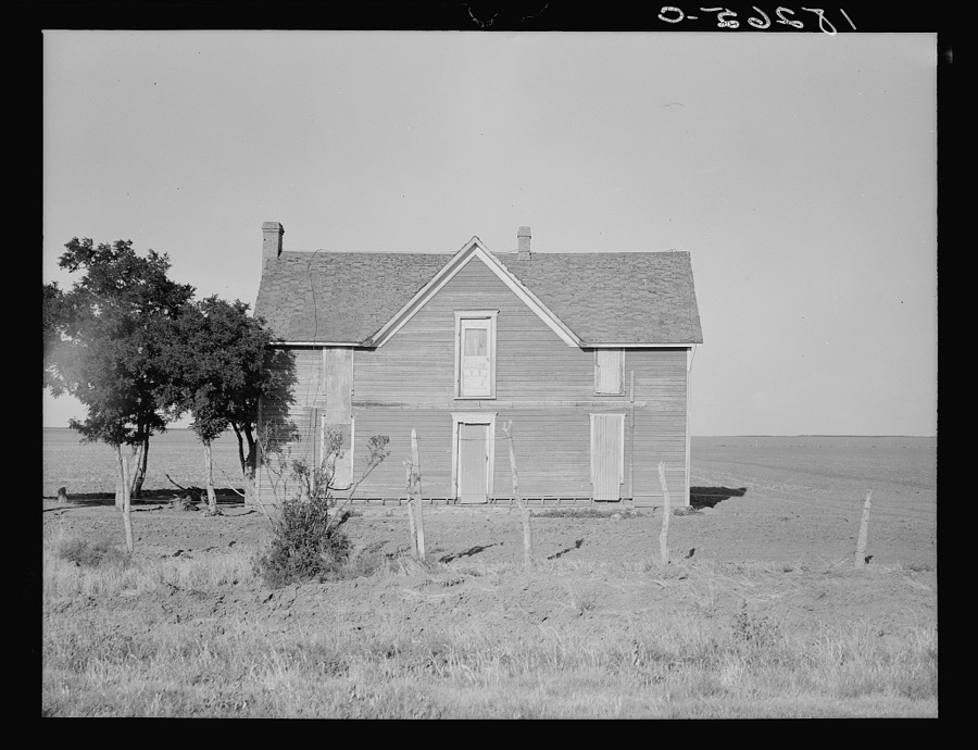
Every property in this county listed on the National Register of Historic Places, with the year it was listed and the federal nomination document.
| Photograph | Property | Type | Listed | Reference |
|---|---|---|---|---|
| Altus Junior College Library | building | 2024 | 100010049 | |
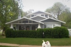 | W. C. Baker House | building | 2005 | 05001417 |
| Cross S Ranch Headquarters | building | 2006 | 06000119 | |
| Downtown Altus Historic District | district | 2018 | 100002543 | |
| Frazer Cemetery | site | 2011 | 11000336 | |
| Fullerton Dam | structure | 1976 | 76001562 | |
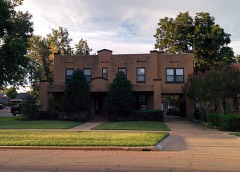 | Elmer and Lela Garnett House | building | 2011 | 11000337 |
 | Jackson County Courthouse | building | 1984 | 84003064 |
| Jackson County Courthouse and Jail (Boundary Increase) | building | 2008 | 08000901 | |
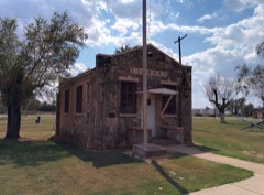 | Olustee Public Library and Park | building | 2006 | 06000116 |
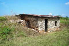 | Perryman Ranch Headquarters | building | 2007 | 07000260 |
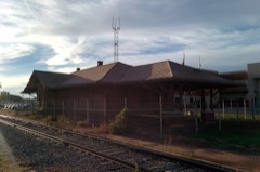 | Wichita Falls & Northwestern Railroad Passenger Depot | building | 2008 | 08000851 |
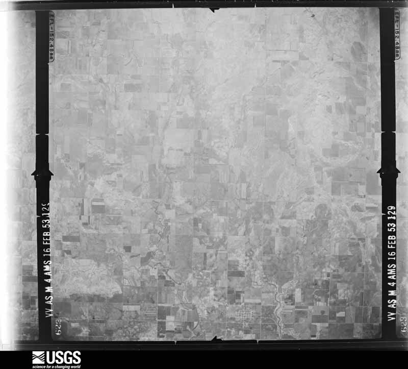
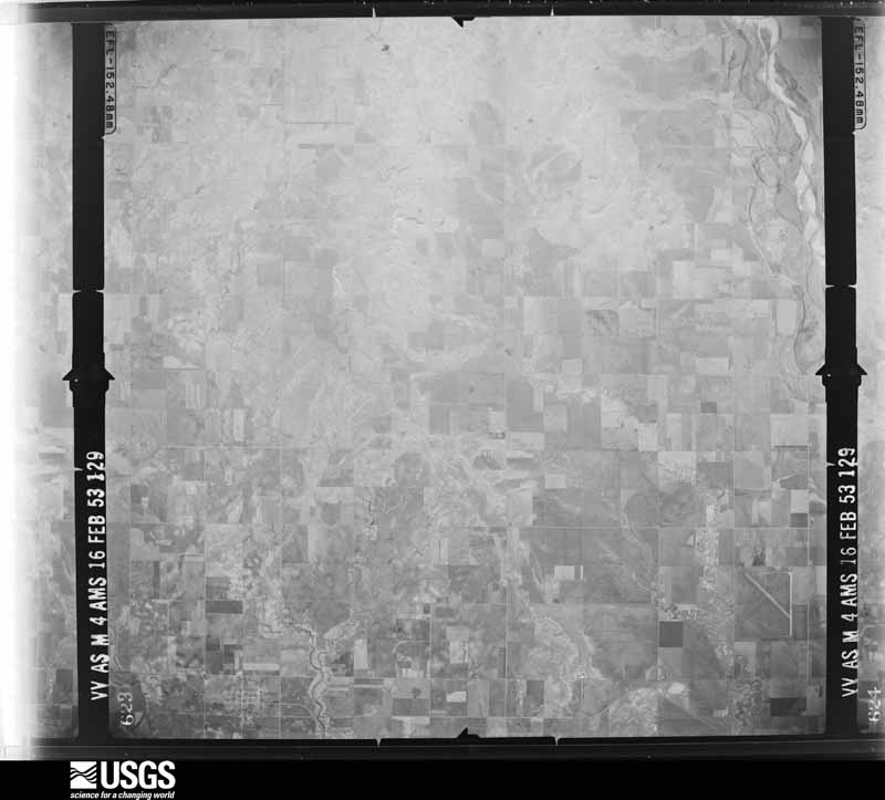
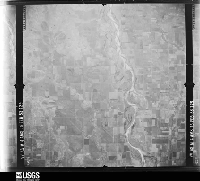
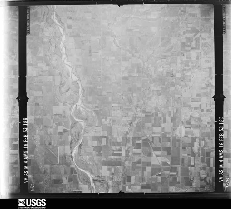
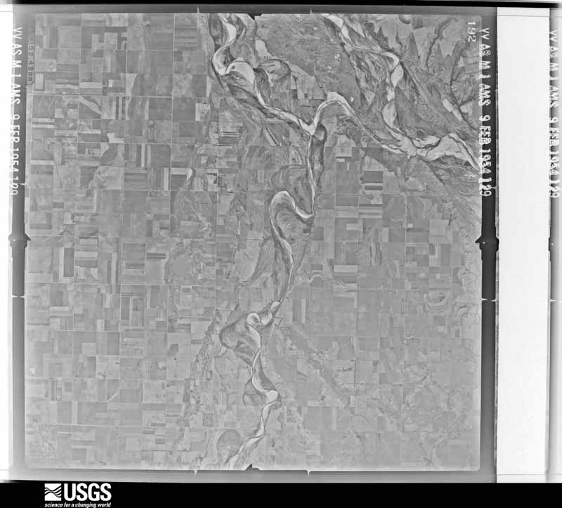
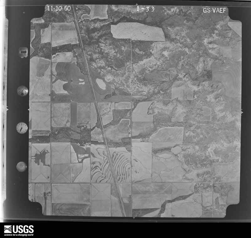
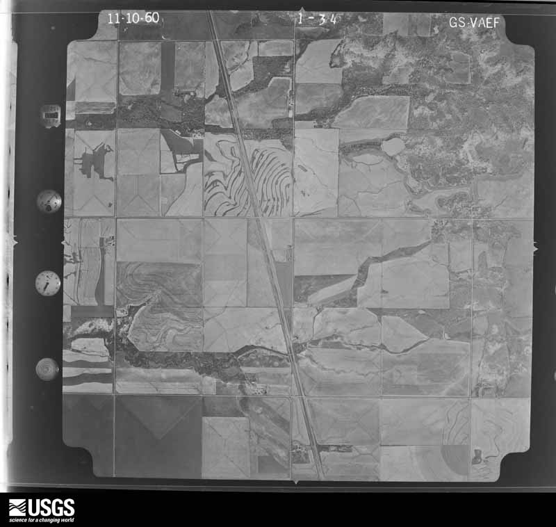
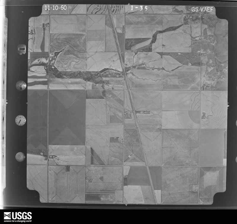
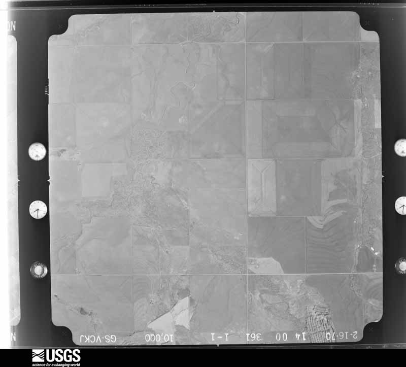
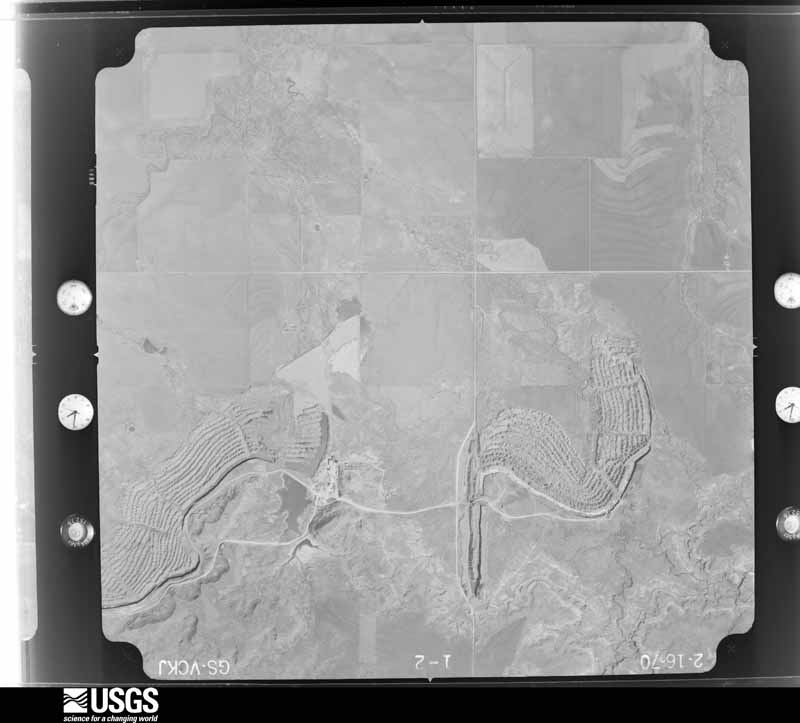
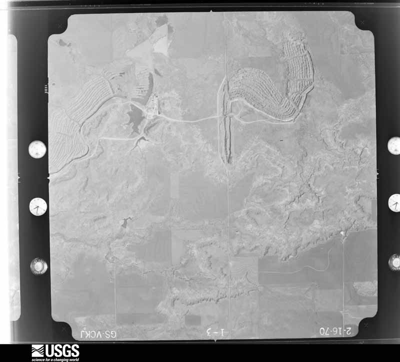
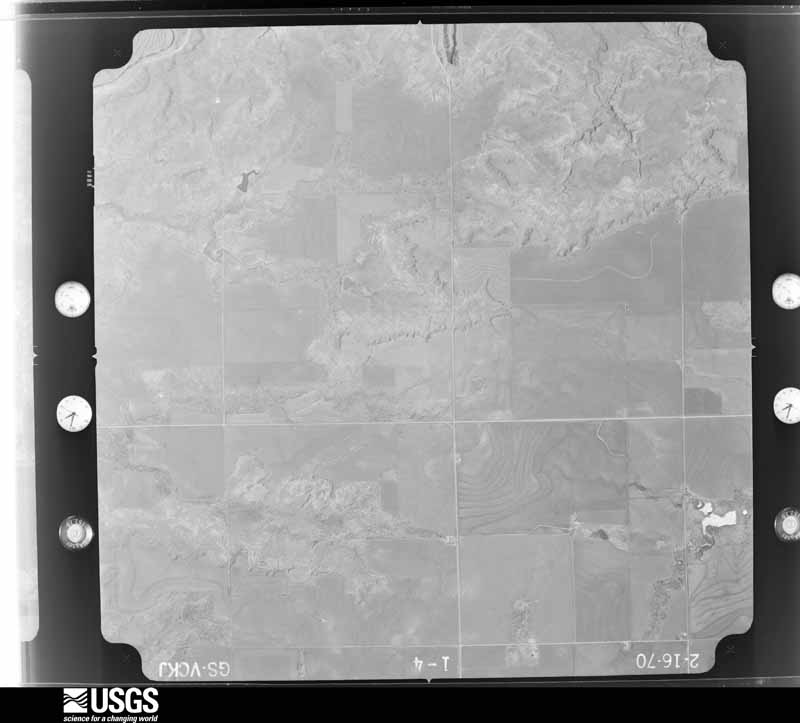
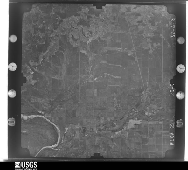
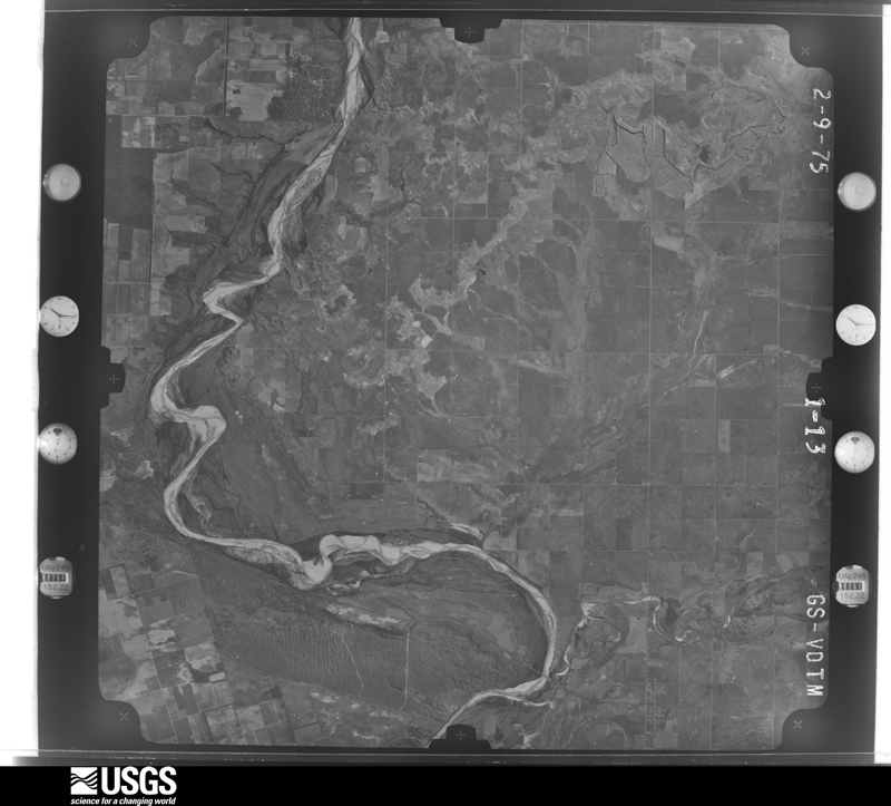
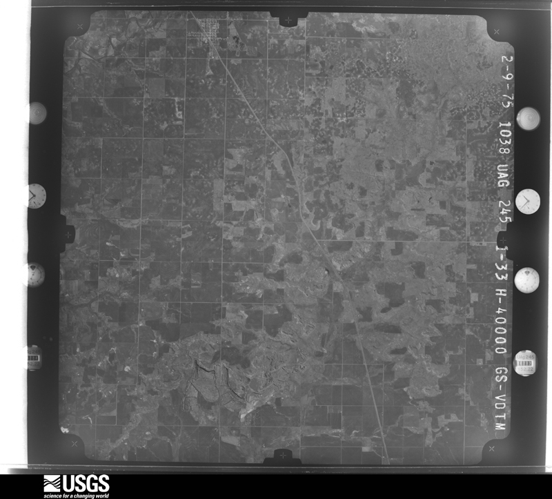
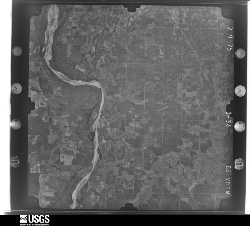
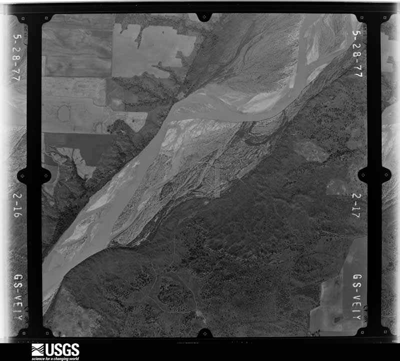
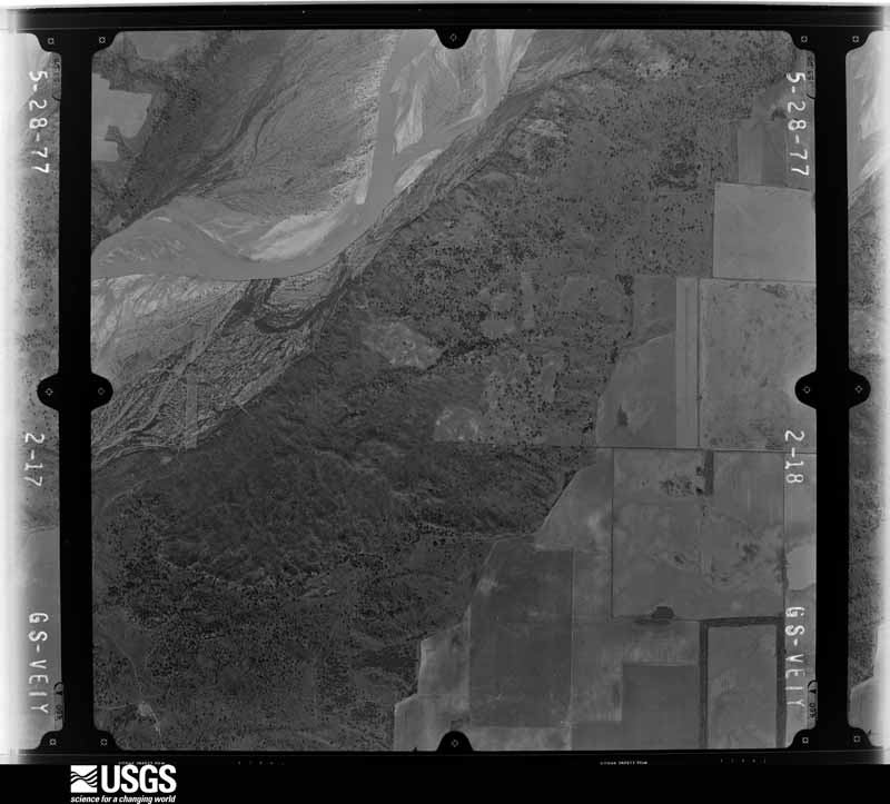
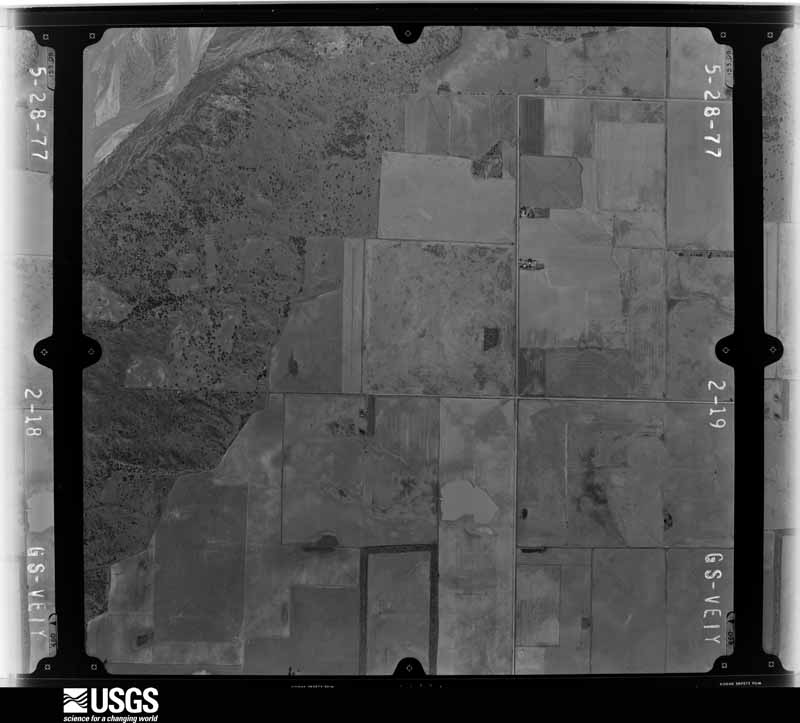
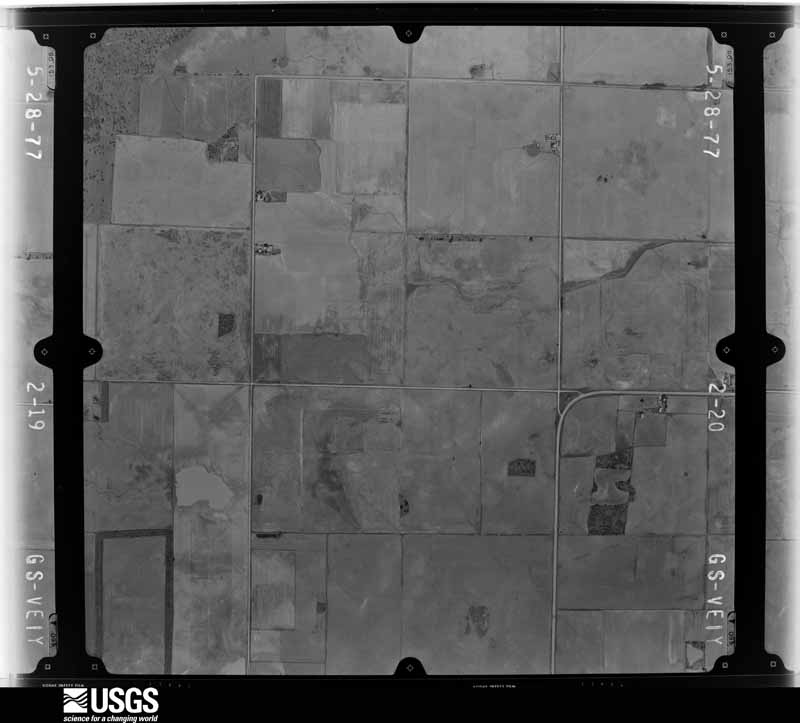
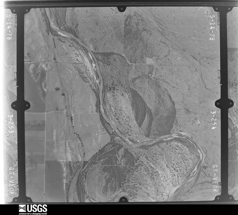
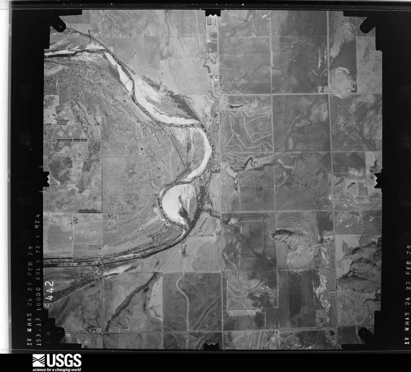
Flown by the U.S. Geological Survey between 1937 and 1989, the Aerial Photo Single Frames collection is the definitive mid-century view of the land: fields, roads and rivers as the camera saw them. The Survey holds 3,327 frames inside the rectangle that bounds this county; the 30 frames below were taken over the county itself, chosen across the decades of flights (at most four a year from that rectangle), so one flight cannot crowd out the rest. The full set is free to browse and download at EarthExplorer under the dataset Aerial Photo Single Frames.
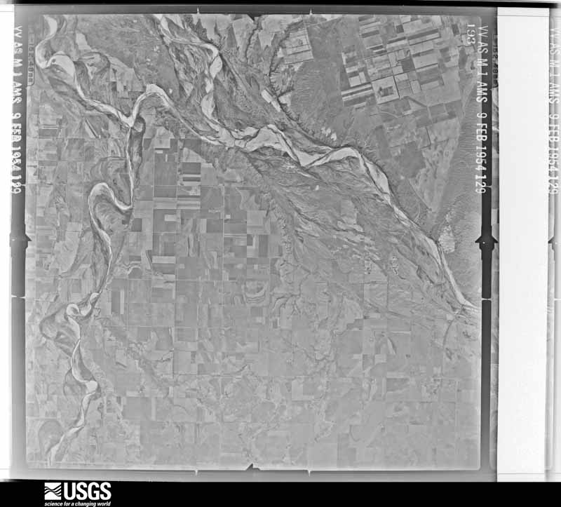
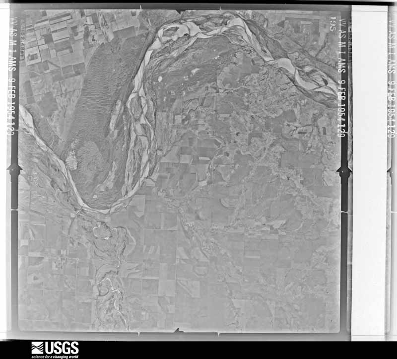
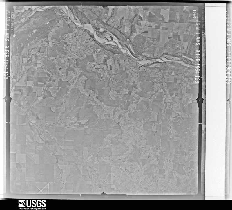
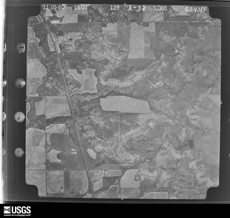
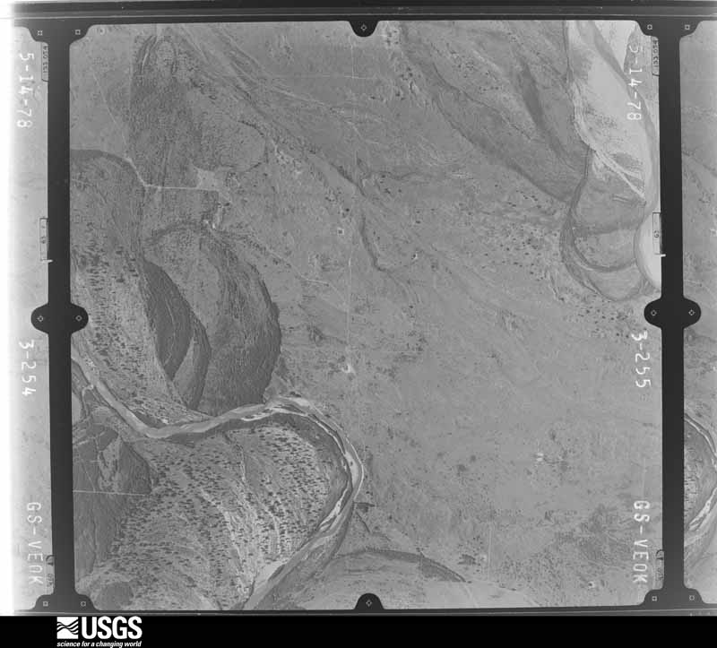
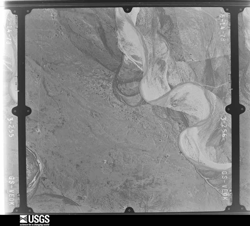
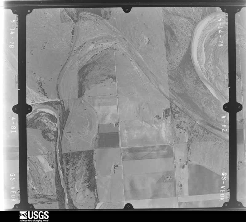
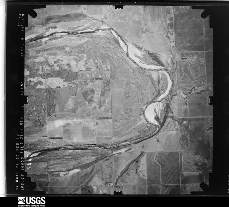
The thermometers that kept this county's weather, and the gages that measured the flow of its streams, as the federal records hold them. The extremes below are measured values from those records, not estimates.
Who lived here in 1950, one enumeration district at a time, as the Census Bureau described each district. Each row opens its official National Archives result, with Population Schedules and ED Maps available there.
Every wildfire the federal occurrence database records inside this county: 2 of them, burning about 2,350 acres. None started naturally and none was recorded as arson. Each settlement page carries the fires within five miles of it.
| Reported cause | Fires |
|---|---|
| Debris and open burning | 1 |
| Equipment and vehicle use | 1 |
The five largest, by the area the report gives. None of them was recorded as arson.
| Date | Cause | Size | Reported by | Name on the report |
|---|---|---|---|---|
| 25 February 2008 | Debris and open burning | 2,100 acres | Texas A & M Forest Service | ROUND TIMBER FIRE |
| 14 November 2020 | Equipment and vehicle use | 250 acres | Oklahoma Division of Forestry | WARREN FIRE |
Every settlement page carries the fires within five miles of it - see the settlement index below.
The NOAA Storm Events Database holds 1,135 reports for this county, causing 4 deaths, 77 injuries and about $1,027,071,170 in recorded property damage. Each settlement page carries the reports that name it.
| Kind of event | Reports |
|---|---|
| Hail | 607 |
| Thunderstorm Wind | 406 |
| Tornado | 83 |
| Flash Flood | 26 |
| Lightning | 9 |
| Flood | 3 |
| Heavy Rain | 1 |
The most serious of them, by death, then injury, then recorded damage. The accounts are quoted exactly as the forecast office filed them.
| When | Event | Place named | Harm | What the report says |
|---|---|---|---|---|
| May 1982 | Tornado (F3) | not stated | 2 killed, 18 hurt, $250,000 | no account filed |
| February 1975 | Tornado (F2) | not stated | 2 killed, 8 hurt, $250,000 | no account filed |
| May 1982 | Tornado (F3) | not stated | 41 hurt, $250,000,000 | no account filed |
| February 1975 | Tornado (F1) | not stated | 4 hurt, $250,000 | no account filed |
| May 1977 | Tornado (F3) | not stated | 3 hurt, $2,500,000 | no account filed |
| April 1957 | Tornado (F2) | not stated | 1 hurt, $25,000 | no account filed |
| October 2017 | Hail | Headrick | 1 hurt | One hail injury was reported. |
| June 1995 | Thunderstorm Wind | (LTS) Altus AFB | 1 hurt | no account filed |
| June 2008 | Thunderstorm Wind | Altus | $750,000,000 | Substantial wind damage was reported in Altus. One hundred and seventy-nine homes sustained some kind of damage, with two destroyed, five with major damage, forty-three with minor damage, and one hundred twenty-nine affected. Seventeen businesses were damaged, with two destroyed, four with major damage, and eight with minor damage. One hundred and seventy power poles and numerous trees were blown down. Sixty percent of the town was without power at one point. Roof damage was reported to several buildings. Part of the roof at Altus Junior High caved in. Several buildings on East Broadway had roofs blown off or collapsed. Highway 62 was closed on the east side of town due to debris.. One injury was reported when a semi-truck was blown over injuring the driver. A train car also was overturned on the southeast side of town. No injuries were reported with it. Monetary damages were estimated. |
| June 2008 | Thunderstorm Wind | Altus | $6,400,000 | Numerous large tree limbs were downed around town. Monetary damages were estimated. |
| June 1995 | Thunderstorm Wind | (LTS) Altus AFB | $5,000,000 | no account filed |
| April 2000 | Hail | Altus | $2,600,000 | Baseball size hail (2.75 inches in diameter) caused an estimated 2 million dollars in damage to homes and businesses and 600 thousand dollars to vehicles. |
| May 1980 | Tornado (F2) | not stated | $2,500,000 | no account filed |
| April 1970 | Tornado (F2) | not stated | $2,500,000 | no account filed |
| May 1999 | Thunderstorm Wind | Altus Muni Arpt | $1,200,000 | no account filed |
| May 1999 | Hail | Altus | $800,000 | no account filed |
| May 1999 | Hail | Altus | $500,000 | no account filed |
| June 1995 | Tornado (F1) | Duke | $500,000 | no account filed |
| May 2024 | Tornado (EF2) | Duke | $300,000 | A large, multiple vortex tornado began just east of the Harmon/Jackson County line approximately 7.5 miles southwest of Duke. This tornado moved slowly southeast, then turned more easterly as it approached County Road N1880. One house west of N1880 Road had most of the shingles and some decking removed. The tornado caused tree damage crossing N1880 Road, then continued east breaking power poles across 1.2 miles as it crossed State Highway 34. East of State Highway 34, a mobile home was blown northeast about 75 yards down a hill, and a metal canopy garage was destroyed. The tornado turned northeast for the next five miles. One home received roof damage, and some farm equipment, trees and power poles were damaged. As the tornado approached County Road N1960, it turned north with the centerline moving very close to N1960 Road for the last 2.5 miles. At least two homes and two mobile homes suffered significant roof damage, and at least four barns our outbuildings were destroyed near N1960 Road as this tornado approached and crossed US-62. The tornado finally dissipated along N1960 road about 2/3 of a mile north of US-62. |
| May 1986 | Tornado (F1) | not stated | $250,000 | no account filed |
| June 2007 | Thunderstorm Wind | Martha | $75,000 | Several tree limbs 6 inches in diameter blown down. Also, several trees 24 inches in diameter and a 50 foot HAM radio antenna were blown down. Two 35,000 bushel grain storage tanks were toppled by the high wind. The event lasted approximately 15 minutes. Monetary damages were estimated. |
| May 2008 | Lightning | Duke | $65,000 | A house was struck by lightning and burned to the ground. Monetary damages were estimated. |
| March 2009 | Thunderstorm Wind | Altus | $50,000 | Altus emergency management reported three structures damaged by the strong winds. One mobile home in Headrick was destroyed. One house in Altus sustained roof damage, and a tin roof was torn off a barn on the southwest side of Altus. Monetary damages were estimated for the entire county. |
| June 1994 | Thunderstorm Wind | Blair | $50,000 | Thunderstorms in southwest Oklahoma during the evening hours on the 25th produced hail up to quarter-size and damaging winds. Thunderstorm winds broke out plate glass windows and tore the roof off a mobile home in Blair. |
| April 1994 | Hail | Altus | $50,000 | no account filed |
| May 1993 | Thunderstorm Wind | Altus | $50,000 | no account filed |
| May 1993 | Thunderstorm Wind | Altus Municipal Airpo | $50,000 | no account filed |
| May 1993 | Thunderstorm Wind | Altus | $50,000 | no account filed |
| July 2024 | Thunderstorm Wind | (Lts)Altus Afb | $40,000 | Relayed images showing a metal barn destroyed and minor damage to the roof of a house. Time is radar estimated. |
| June 2008 | Thunderstorm Wind | Olustee | $40,000 | A barn was destroyed. Monetary damages were estimated. |
| April 2016 | Flash Flood | Headrick | $30,000 | House was flooded to two feet. |
| May 2015 | Flash Flood | Altus | $30,000 | Two vehicles off the road along Highway 171 and 283 due to flooding. |
| May 2019 | Thunderstorm Wind | Altus | $25,000 | Trailer house blown into the road blocking the road, and a large tree is blown over on Park Lane. |
| August 1997 | Lightning | Altus | $25,000 | Lightning struck and set fire to a small bar. The fire was quickly contained and damage was limited to an estimated $25,000. |
| August 1981 | Tornado (F1) | not stated | $25,000 | no account filed |
| July 1969 | Tornado (F2) | not stated | $25,000 | no account filed |
| May 1962 | Tornado (F2) | not stated | $25,000 | no account filed |
| April 1961 | Tornado (F2) | not stated | $25,000 | no account filed |
| June 1960 | Tornado (F3) | not stated | $25,000 | no account filed |
| April 1957 | Tornado (F0) | not stated | $25,000 | no account filed |
| May 1955 | Tornado (F1) | not stated | $25,000 | no account filed |
| May 2022 | Thunderstorm Wind | Altus | $20,000 | Power poles downed across the county, time estimated from radar. |
| May 2019 | Tornado (EF0) | Blair | $20,000 | A resident of Blair recorded a video of a tornado just south of Blair. A mobile home, outbuildings and trees were reported to be damaged, although the specific locations are unknown and the tornado location is estimated. |
| May 1999 | Thunderstorm Wind | Blair | $20,000 | no account filed |
| May 1998 | Thunderstorm Wind | Altus Muni Arpt | $20,000 | no account filed |
| May 1996 | Lightning | Altus | $20,000 | no account filed |
| June 1996 | Thunderstorm Wind | Olustee | $17,000 | no account filed |
| June 2025 | Thunderstorm Wind | Elmer | $15,000 | A social media image shows a section of a metal and wood barn blown off. The location is approximate, and the event time is estimated from radar observations. |
| April 2016 | Flash Flood | Altus | $15,000 | Numerous cars became stranded and many roads were closed. A storm chaser passing through Altus made this report. |
| June 1999 | Lightning | Altus | $15,000 | no account filed |
| June 2008 | Thunderstorm Wind | Altus | $12,000 | Tree limbs and power lines were blown down. Monetary damages were estimated. |
| June 1996 | Lightning | Altus | $10,500 | no account filed |
| May 2024 | Tornado (EF0) | Duke | $10,000 | A satellite tornado was observed moving south around the circulation of the primary tornado. This tornado damaged a home as it crossed E1680 Road just east of SH-34. |
| May 2013 | Thunderstorm Wind | Altus | $10,000 | Several power lines and power poles downed. Damage estimated. |
| August 2013 | Thunderstorm Wind | Eldorado | $10,000 | Emergency Manager reported power lines down. |
| May 2013 | Thunderstorm Wind | (Lts)Altus Afb | $10,000 | Gust to 70 mph measured at Altus AFB. A gust to 71 mph was also measured six minutes later by a trained spotter in Altus. Power lines were downed in the city. |
| October 2012 | Thunderstorm Wind | Altus | $10,000 | Mesonet site at Altus recorded a gust to 58 mph. Power lines were blown down in the city, and there was damage to the Atwoods sign. |
| May 2003 | Lightning | Altus | $10,000 | A house was reported damaged by a lightning strike. |
| May 2001 | Thunderstorm Wind | Blair | $10,000 | An awning was blown off a convenience store. |
| August 1996 | Thunderstorm Wind | Eldorado | $10,000 | no account filed |
The Survey's mineral resources record lists 67 workings inside this county. 6 still produce and 61 are closed or unrecorded. Each settlement page carries the workings within five miles of it.
| Commodity | Workings |
|---|---|
| Sand and Gravel, Construction | 47 |
| Gypsum-Anhydrite | 9 |
| Dolomite | 5 |
| Clay | 4 |
| Copper | 2 |
| Silver | 1 |
The least common of them first, because a county's hundredth gravel pit says nothing its first ten did not.
| Where | Site | Commodity | Status | Recorded |
|---|---|---|---|---|
| Creta Deposit | Copper, Silver | Past Producer | 1962, 1966, 1975 | |
| Horse Branch-1 | Copper | Occurrence | 1962 | |
| Unknown Shale Pit | Clay | Past Producer | ||
| Unknown Shale Pit | Clay | Past Producer | ||
| Unknown Shale Pit | Clay | Producer | ||
| Unknown Shale Pit | Clay | Past Producer | ||
| Oklahoma Stone Co Dolomite Pit | Dolomite | Past Producer | ||
| Unknown Dolomite Pit | Dolomite | Past Producer | ||
| Unknown Dolomite Pit | Dolomite | Past Producer | ||
| Unknown Dolomite Pit | Dolomite | Past Producer | ||
| Unknown Dolomite Pit | Dolomite | Past Producer | ||
| Duke Mine | Gypsum-Anhydrite | Producer | ||
| Gypsum Prospect | Gypsum-Anhydrite | Prospect | ||
| Republic Pit | Gypsum-Anhydrite | Producer | ||
| Unknown Gypsum Pit | Gypsum-Anhydrite | Past Producer | ||
| Unknown Gypsum Pit | Gypsum-Anhydrite | Past Producer | ||
| Unknown Gypsum Pit | Gypsum-Anhydrite | Past Producer | ||
| Unknown Gypsum Pit | Gypsum-Anhydrite | Past Producer | ||
| Unknown Gypsum Pit | Gypsum-Anhydrite | Past Producer | ||
| Unknown Gypsum Pit | Gypsum-Anhydrite | Past Producer | ||
| Elmer Dredge & Plant | Sand and Gravel, Construction | Producer | ||
| Pitts Sand & Gravel Pit | Sand and Gravel, Construction | Past Producer | ||
| Unknown Gravel Pit | Sand and Gravel, Construction | Past Producer | ||
| Unknown Gravel Pit | Sand and Gravel, Construction | Past Producer | ||
| Unknown Gravel Pit | Sand and Gravel, Construction | Past Producer | ||
| Unknown Gravel Pit | Sand and Gravel, Construction | Past Producer | ||
| Unknown Gravel Pit | Sand and Gravel, Construction | Past Producer | ||
| Unknown Gravel Pit | Sand and Gravel, Construction | Past Producer | ||
| Unknown Gravel Pit | Sand and Gravel, Construction | Past Producer | ||
| Unknown Gravel Pit | Sand and Gravel, Construction | Past Producer | ||
| Unknown Gravel Pit | Sand and Gravel, Construction | Past Producer | ||
| Unknown Gravel Pit | Sand and Gravel, Construction | Past Producer | ||
| Unknown Gravel Pit | Sand and Gravel, Construction | Past Producer | ||
| Unknown Gravel Pit | Sand and Gravel, Construction | Past Producer | ||
| Unknown Gravel Pit | Sand and Gravel, Construction | Past Producer | ||
| Unknown Gravel Pit | Sand and Gravel, Construction | Past Producer | ||
| Unknown Gravel Pit | Sand and Gravel, Construction | Past Producer | ||
| Unknown Gravel Pit | Sand and Gravel, Construction | Past Producer | ||
| Unknown Gravel Pit | Sand and Gravel, Construction | Past Producer | ||
| Unknown Gravel Pit | Sand and Gravel, Construction | Past Producer | ||
| Unknown Gravel Pit | Sand and Gravel, Construction | Past Producer | ||
| Unknown Gravel Pit | Sand and Gravel, Construction | Past Producer | ||
| Unknown Gravel Pit | Sand and Gravel, Construction | Past Producer | ||
| Unknown Gravel Pit | Sand and Gravel, Construction | Past Producer | ||
| Unknown Gravel Pit | Sand and Gravel, Construction | Producer | ||
| Unknown Gravel Pit | Sand and Gravel, Construction | Past Producer | ||
| Unknown Gravel Pit | Sand and Gravel, Construction | Past Producer | ||
| Unknown Gravel Pit | Sand and Gravel, Construction | Past Producer | ||
| Unknown Gravel Pit | Sand and Gravel, Construction | Past Producer | ||
| Unknown Gravel Pit | Sand and Gravel, Construction | Past Producer | ||
| Unknown Gravel Pit | Sand and Gravel, Construction | Past Producer | ||
| Unknown Gravel Pit | Sand and Gravel, Construction | Past Producer | ||
| Unknown Gravel Pit | Sand and Gravel, Construction | Past Producer | ||
| Unknown Gravel Pit | Sand and Gravel, Construction | Past Producer | ||
| Unknown Sand Pit | Sand and Gravel, Construction | Past Producer | ||
| Unknown Sand Pit | Sand and Gravel, Construction | Past Producer | ||
| Unknown Sand Pit | Sand and Gravel, Construction | Past Producer | ||
| Unknown Sand Pit | Sand and Gravel, Construction | Past Producer | ||
| Unknown Sand Pit | Sand and Gravel, Construction | Past Producer | ||
| Unknown Sand Pit | Sand and Gravel, Construction | Past Producer | ||
| Unknown Sand Pit | Sand and Gravel, Construction | Past Producer |
Named settlements recorded in the Geographic Names Information System, each with the topographic sheets covering it. Villages, hamlets and abandoned places alike. Each is shown with the nearest named watercourse or landform and the survey quadrangle it falls on. The 4 places that were also surveyed for fire insurance come first, with the number of atlases and photographs held for them.
Altus census division · 73521 · Altus quadrangle
9 sheets, 1955 to 1985
Fire insurance: 6 atlases
West Jackson census division · 73532 · On Cottonwood Creek · Duke quadrangle
8 sheets, 1955 to 1985
Fire insurance: 4 atlases
West Jackson census division · 73537 · Eldorado quadrangle
11 sheets, 1955 to 1986
Fire insurance: 2 atlases
West Jackson census division · 73560 · On Turkey Creek · Olustee quadrangle
9 sheets, 1955 to 1985
Fire insurance: 3 atlases
9 topographic sheets and 6 fire insurance atlases, 1904 to 1948
8 topographic sheets and 4 fire insurance atlases, 1914 to 1930
9 topographic sheets and 3 fire insurance atlases, 1912 to 1930