 Block
From the record
4 National Register listings published here.
Sources: the National Register database, National Park Service
44 topographic sheets and 26 fire insurance atlases across 5 places.
4 National Register listings published here.
Sources: the National Register database, National Park Service
Every property in this county listed on the National Register of Historic Places, with the year it was listed and the federal nomination document.
| Photograph | Property | Type | Listed | Reference |
|---|---|---|---|---|
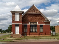 | First Presbyterian Church | building | 2002 | 02000175 |
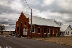 | Irving Baptist Church | building | 2009 | 09000977 |
 | Jefferson County Courthouse | building | 1984 | 84003065 |
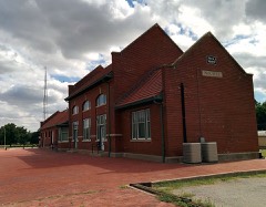 | Rock Island Passenger Station | building | 2002 | 02000173 |
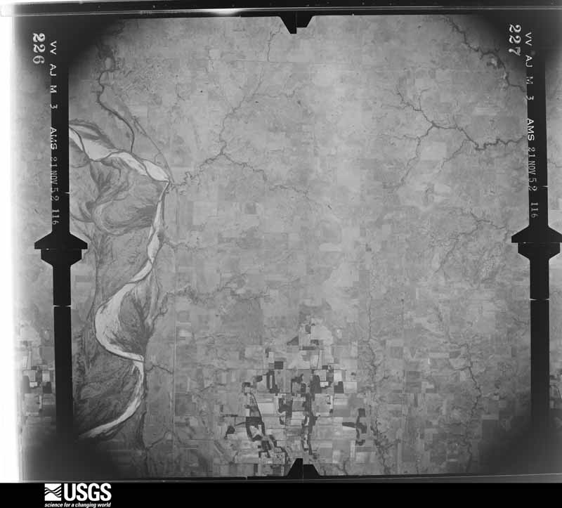
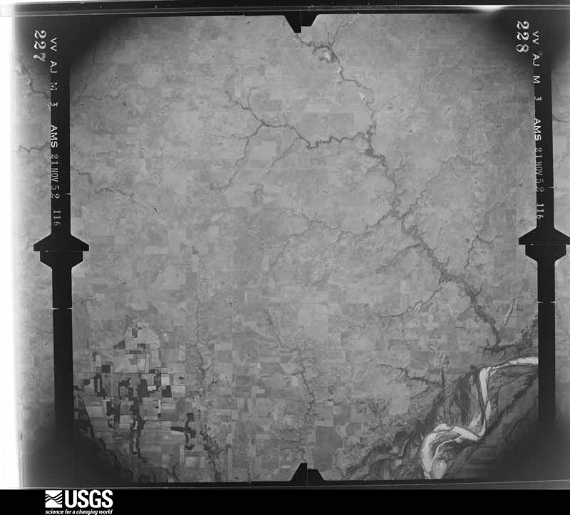
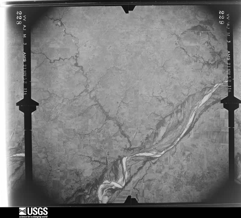
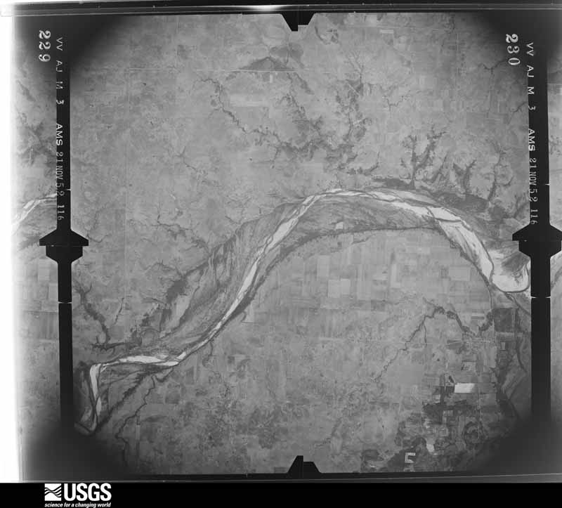
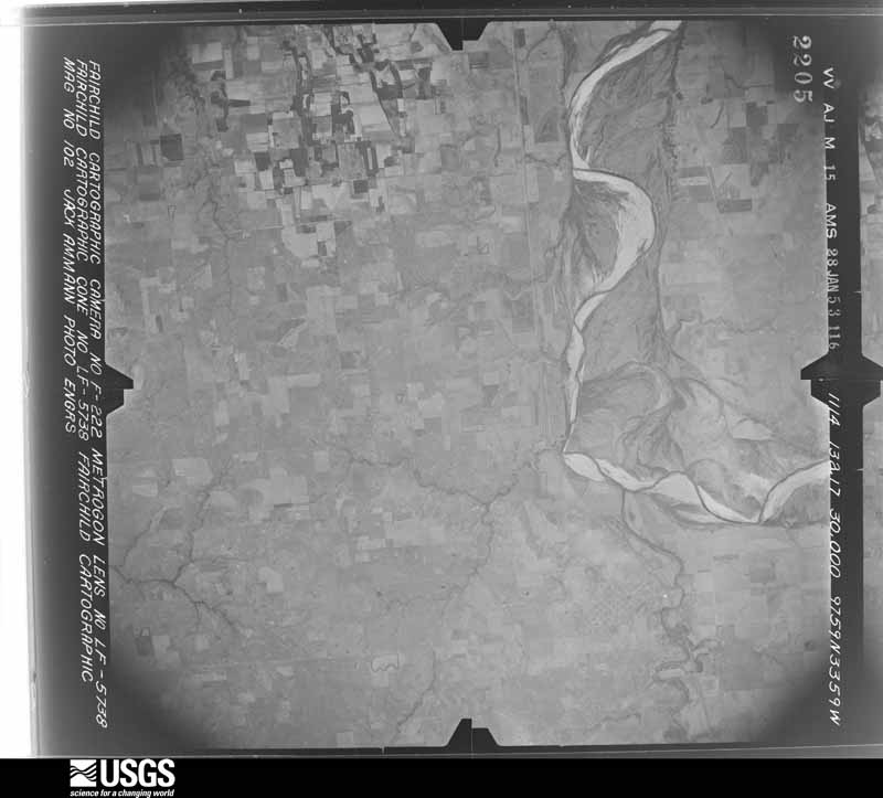
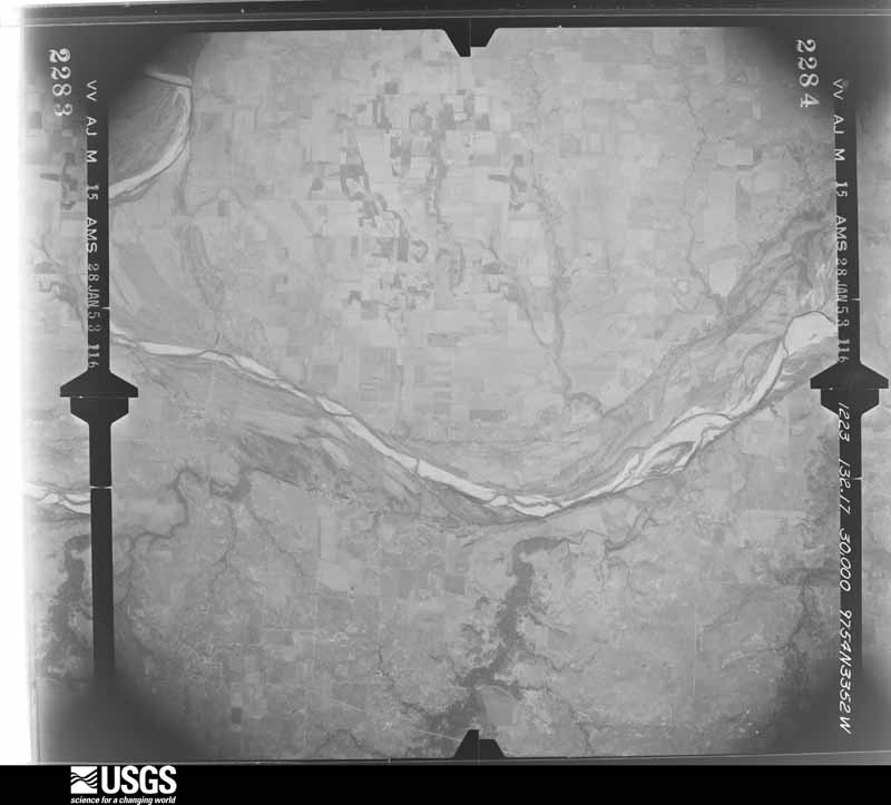
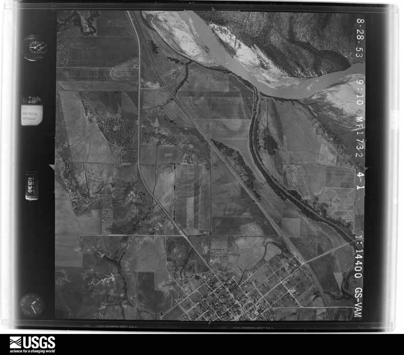
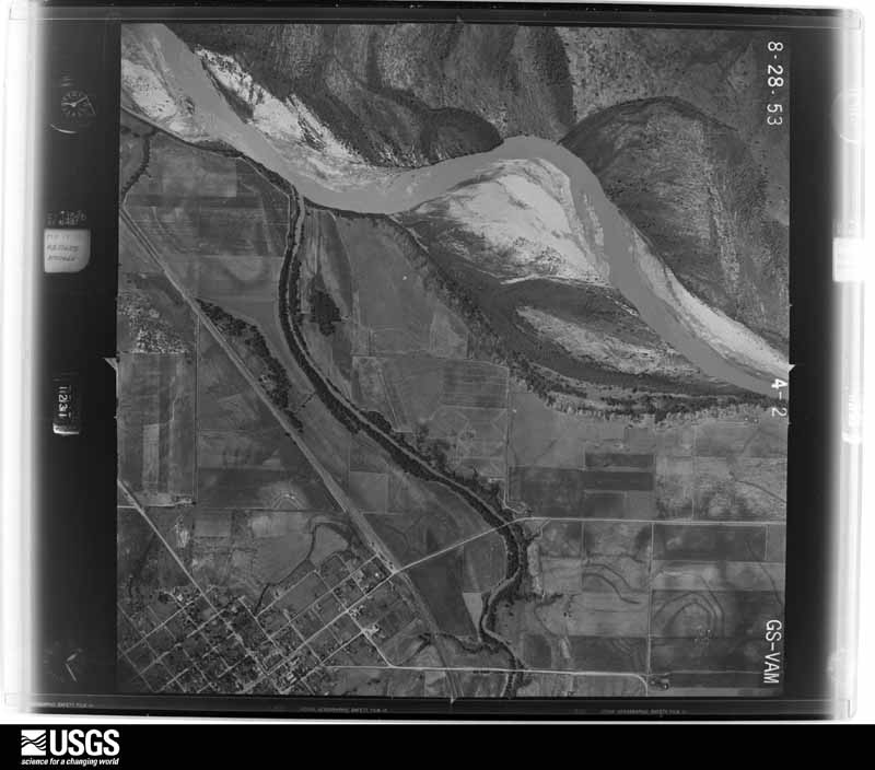
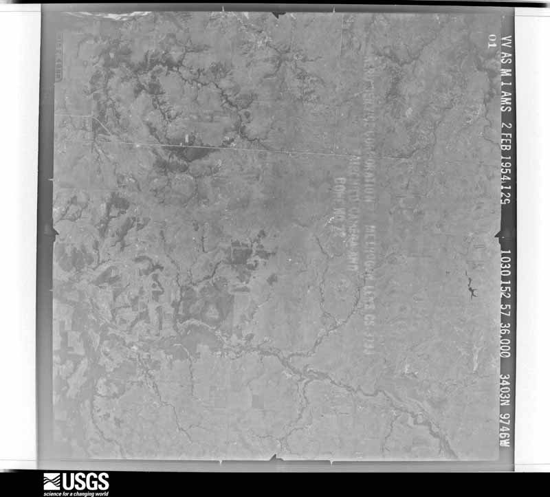
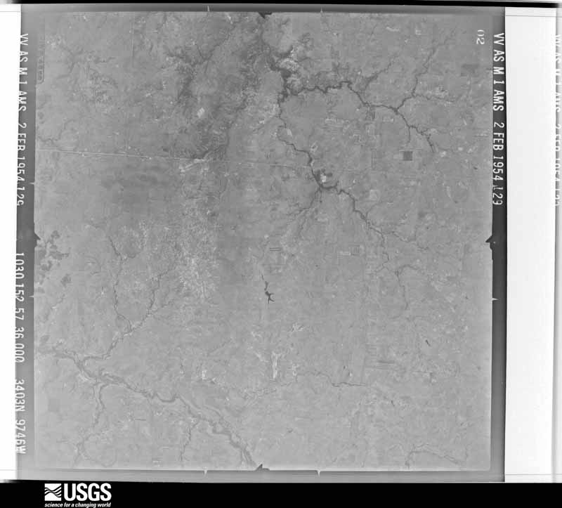
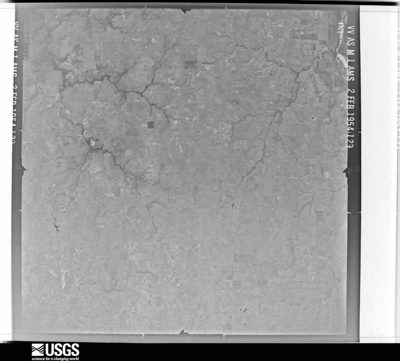
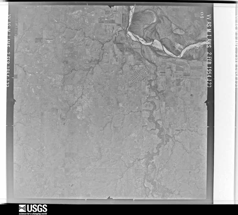
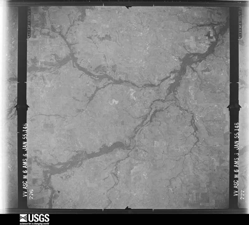
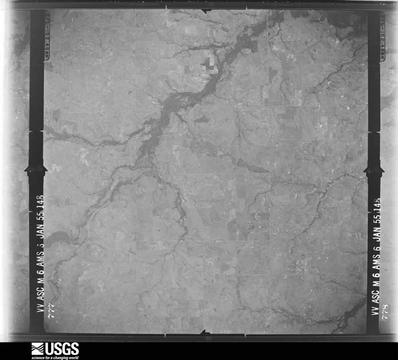
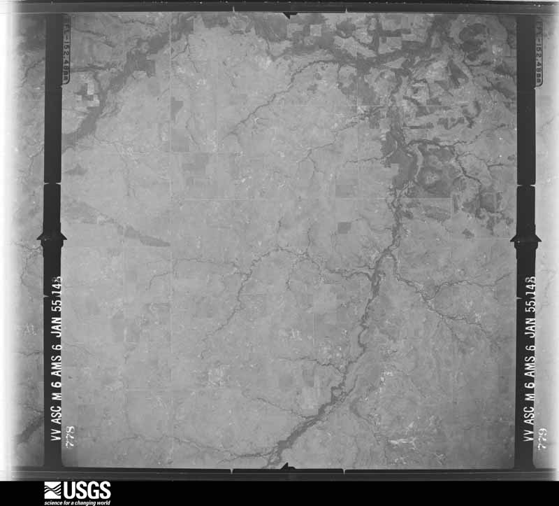
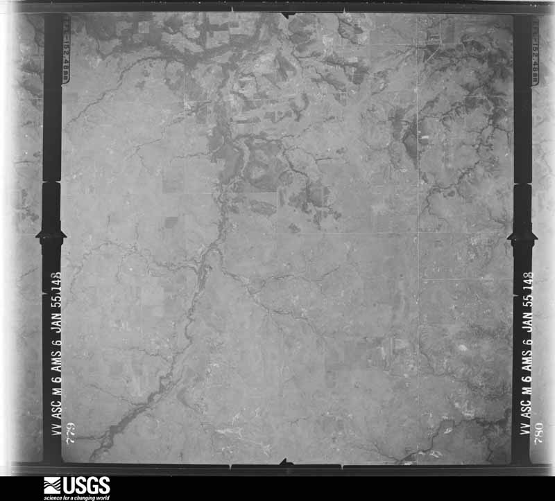
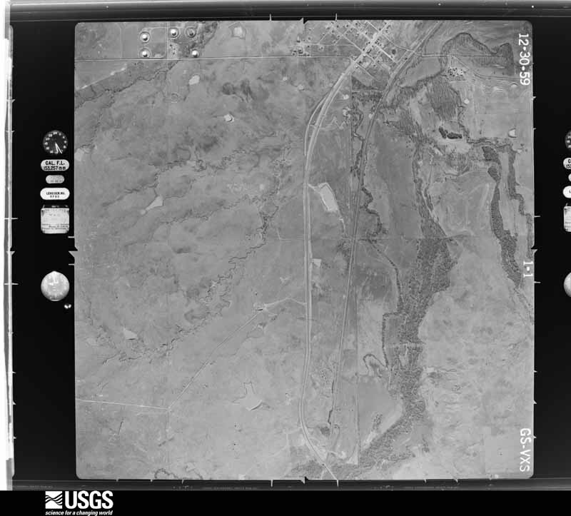
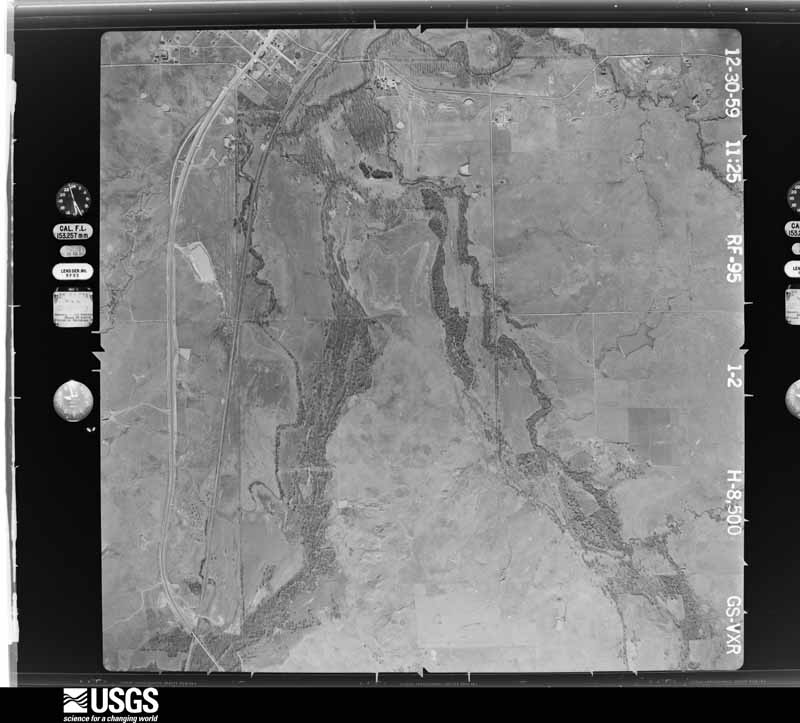
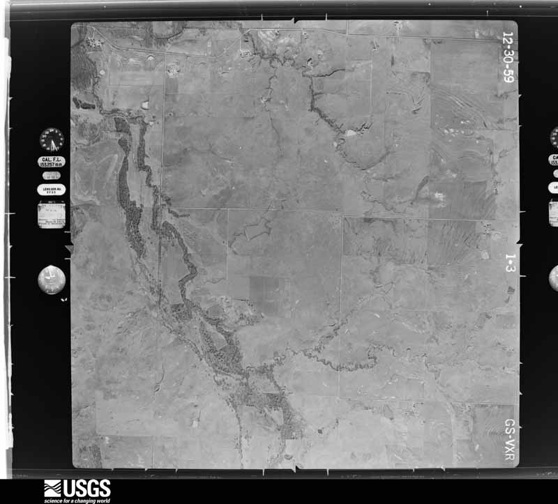
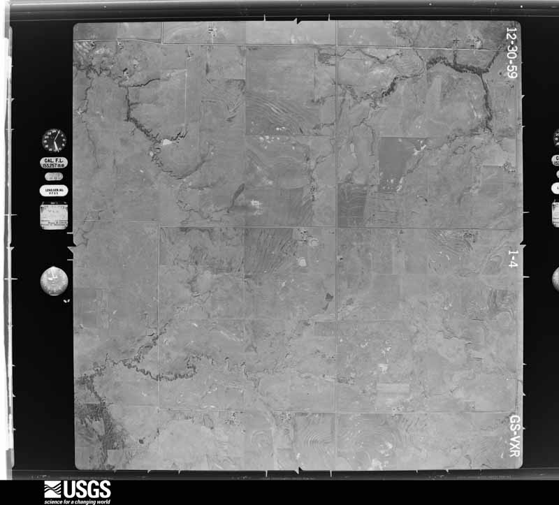
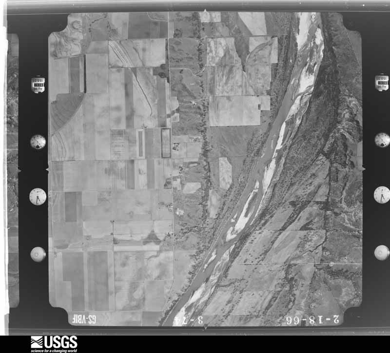
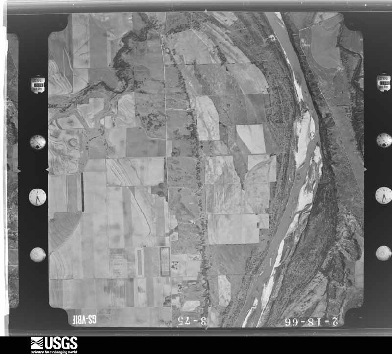
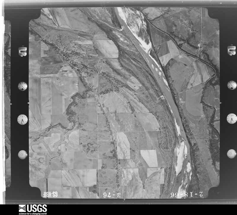
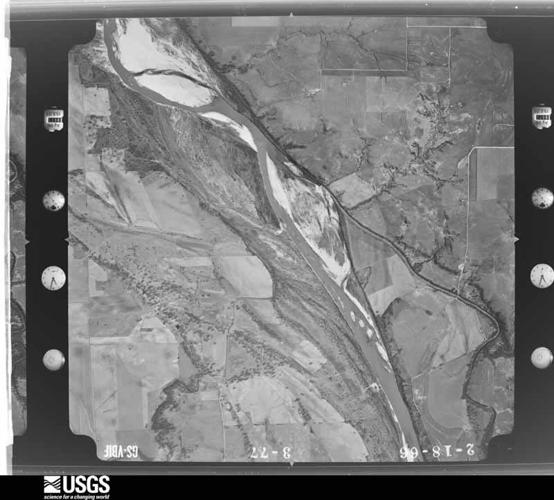
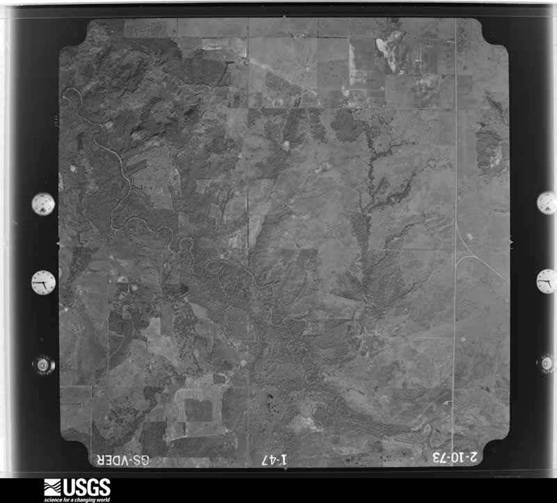
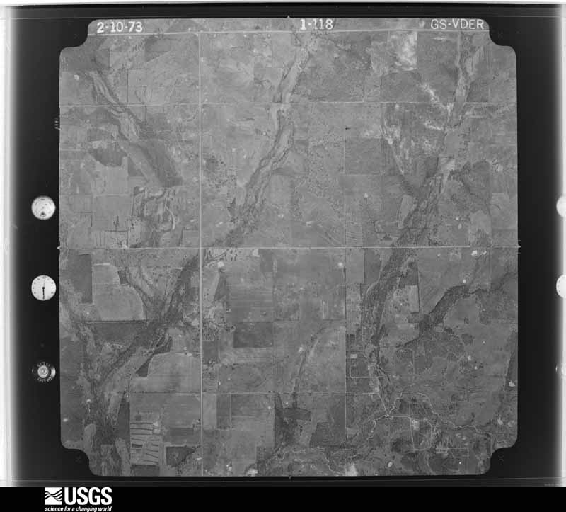
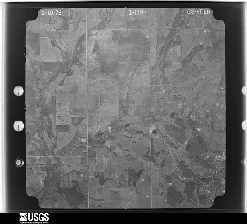
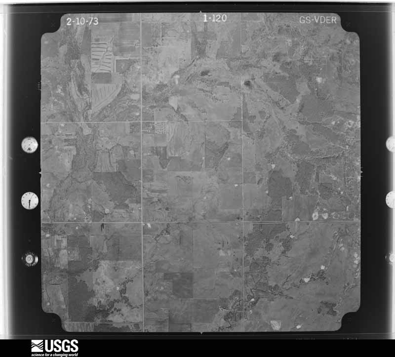
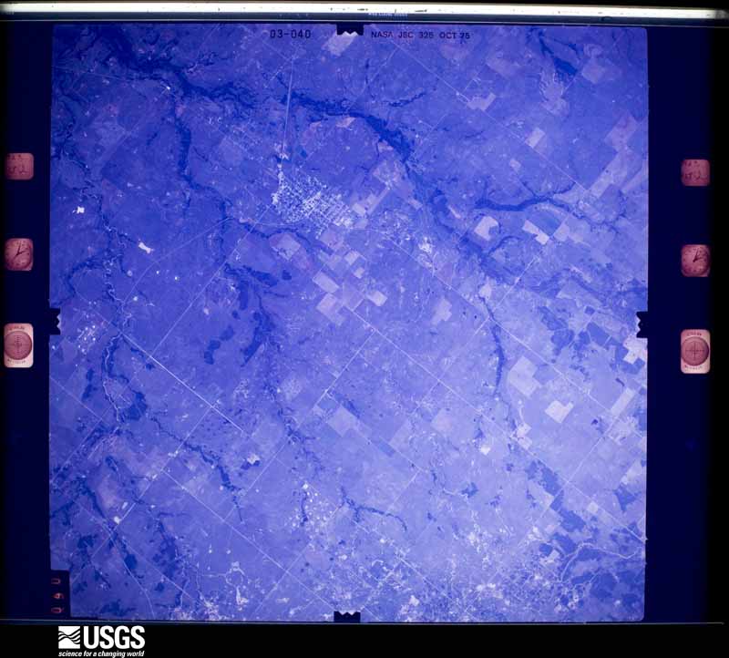
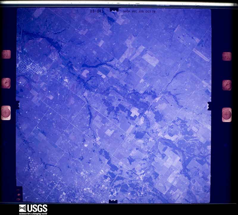
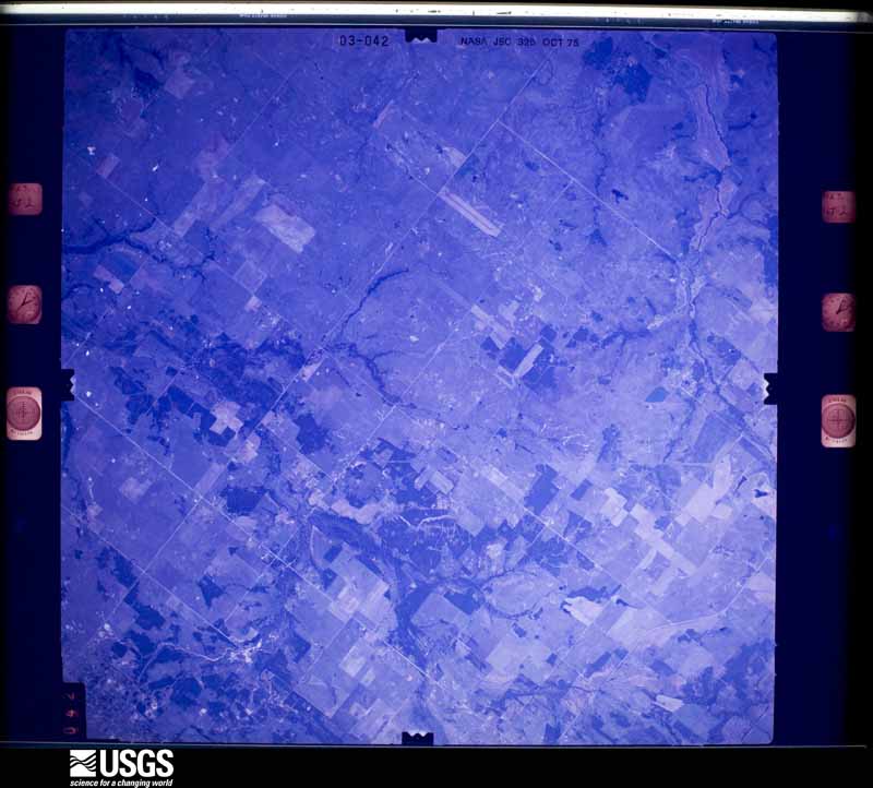
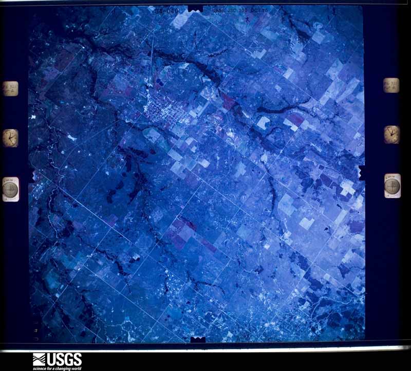
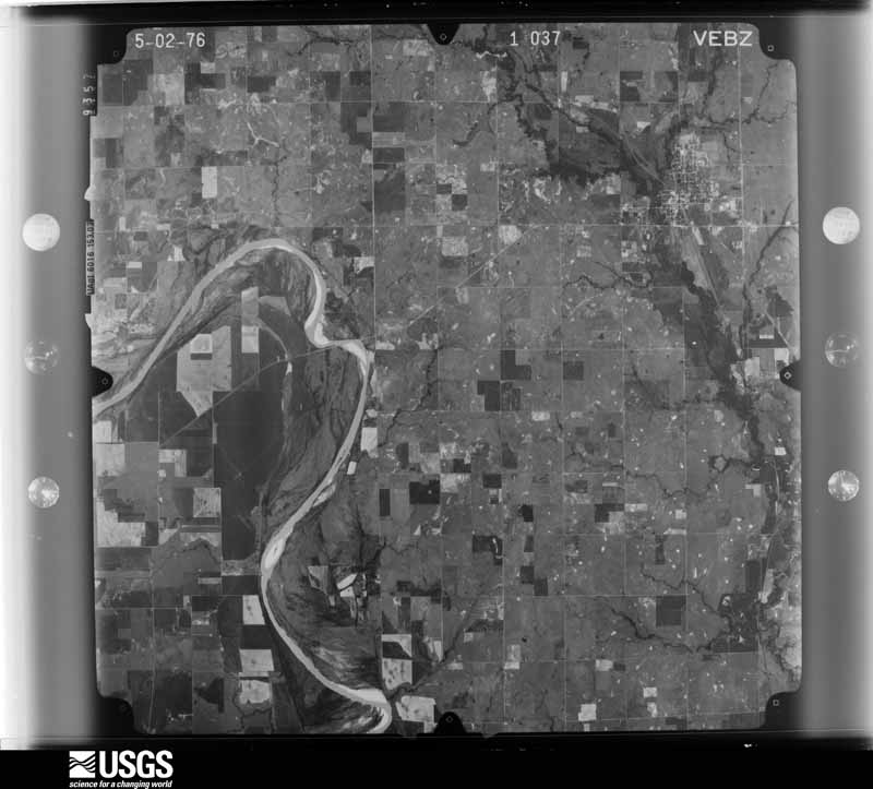
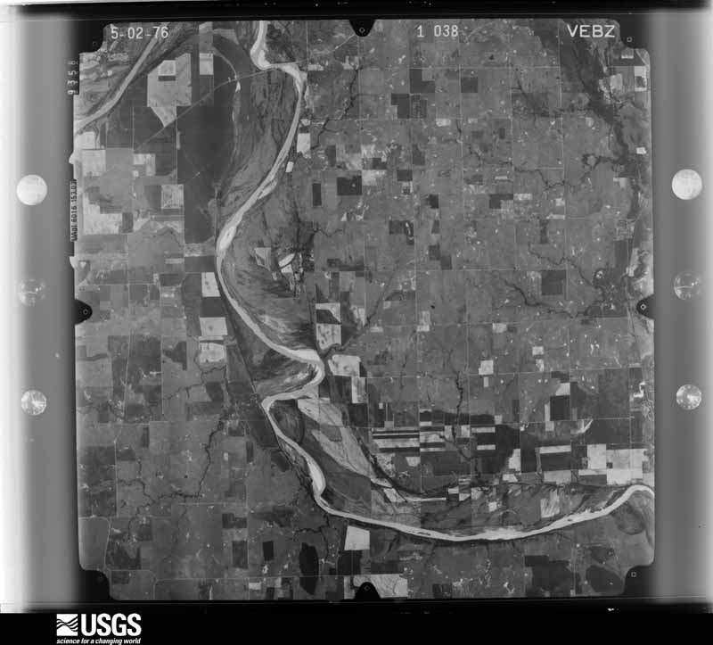
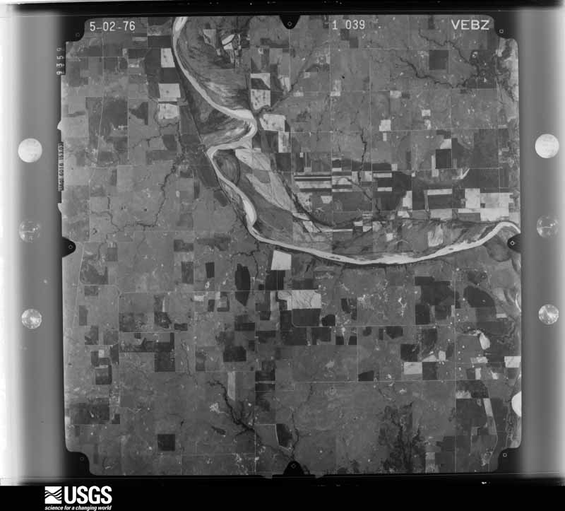
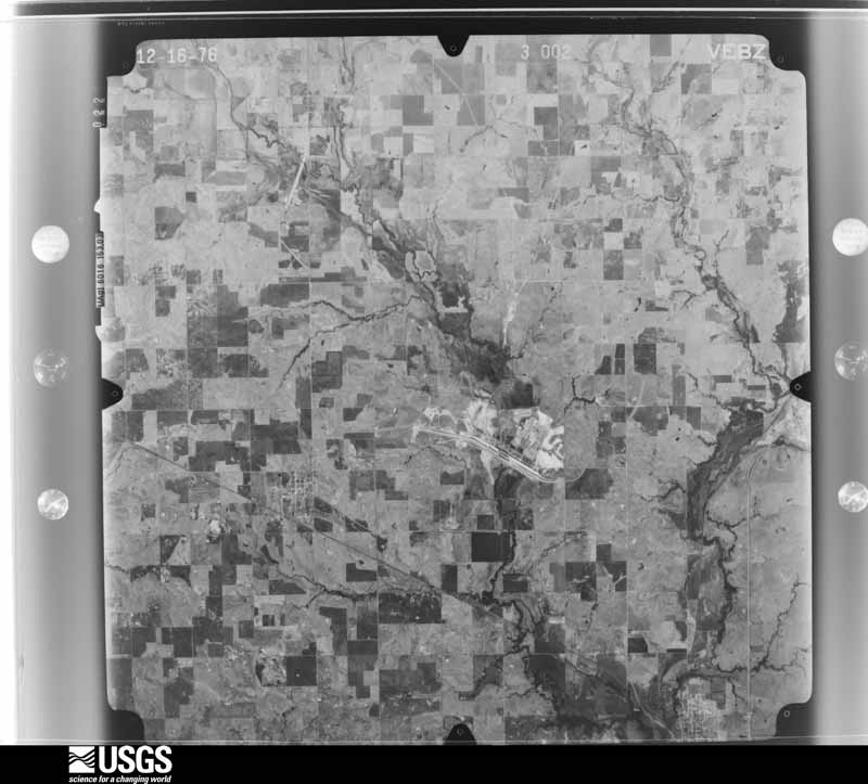
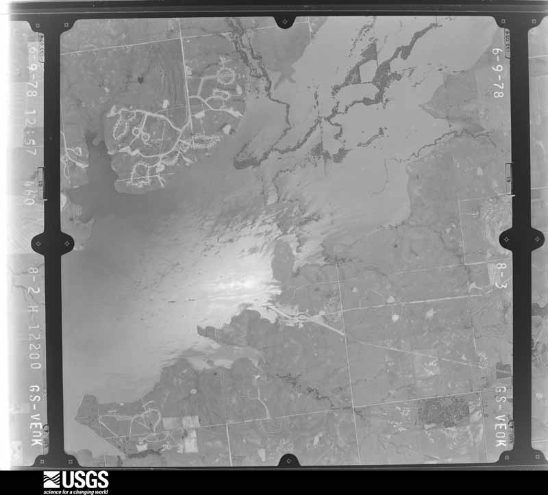
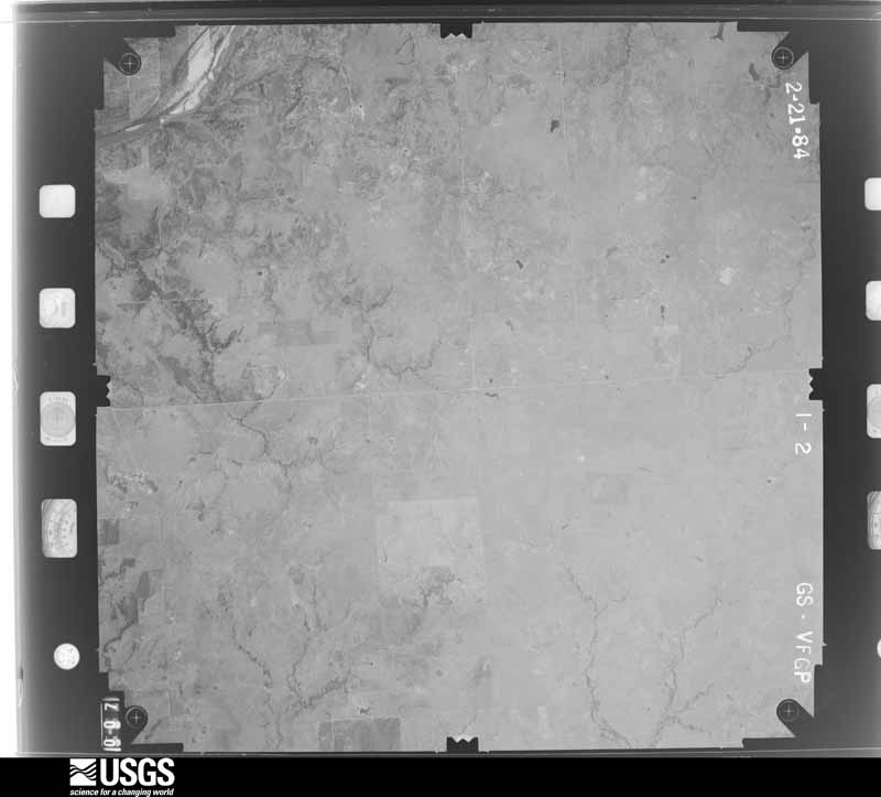
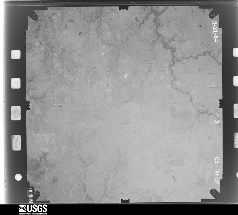
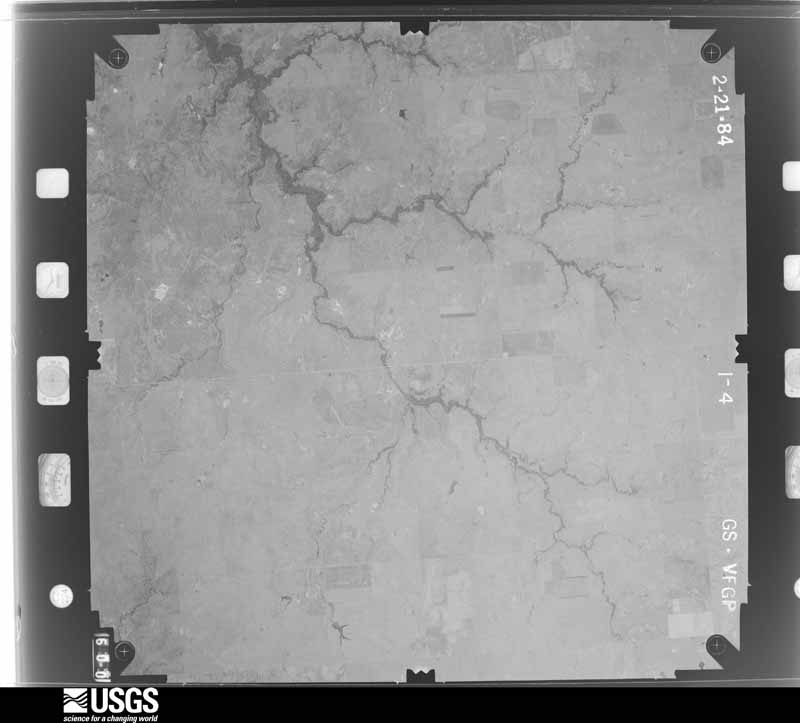
Flown by the U.S. Geological Survey between 1937 and 1989, the Aerial Photo Single Frames collection is the definitive mid-century view of the land: fields, roads and rivers as the camera saw them. The Survey holds 1,181 frames inside the rectangle that bounds this county; the 44 frames below were taken over the county itself, chosen across the decades of flights (at most four a year from that rectangle), so one flight cannot crowd out the rest. The full set is free to browse and download at EarthExplorer under the dataset Aerial Photo Single Frames.
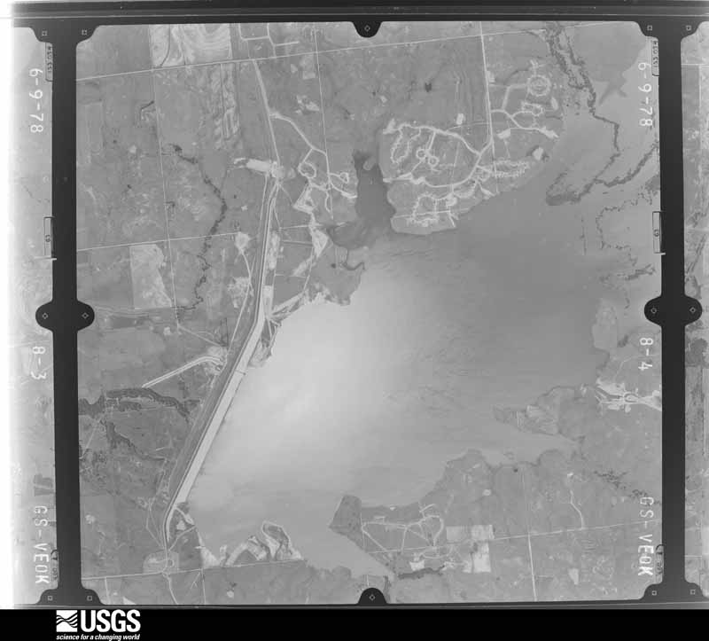
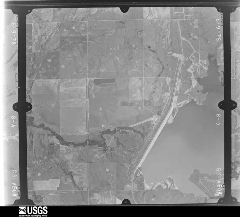
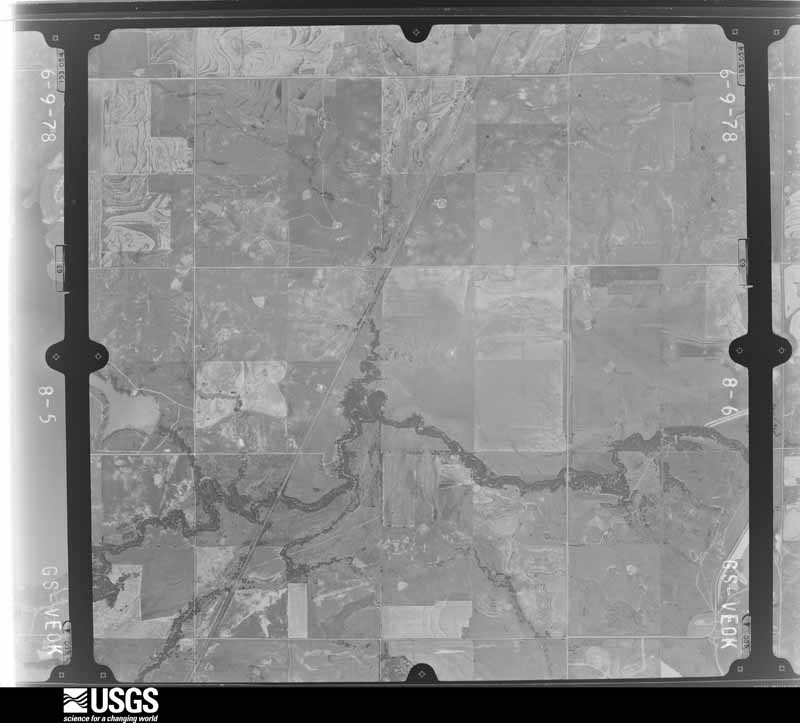
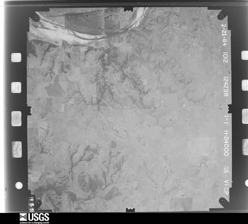
The thermometers that kept this county's weather, and the gages that measured the flow of its streams, as the federal records hold them. The extremes below are measured values from those records, not estimates.
Who lived here in 1950, one enumeration district at a time, as the Census Bureau described each district. Each row opens its official National Archives result, with Population Schedules and ED Maps available there.
Every wildfire the federal occurrence database records inside this county: 27 of them, burning about 14,912 acres. 6 started naturally and 4 were recorded as arson. Each settlement page carries the fires within five miles of it.
| Reported cause | Fires |
|---|---|
| Missing data/not specified/undetermined | 10 |
| Natural | 6 |
| Arson/incendiarism | 4 |
| Debris and open burning | 4 |
| Equipment and vehicle use | 3 |
The five largest, by the area the report gives. One of them was set deliberately.
| Date | Cause | Size | Reported by | Name on the report |
|---|---|---|---|---|
| 18 January 2006 | Missing data/not specified/undetermined | 2,800 acres | Oklahoma Division of Forestry | RYAN |
| 18 January 2006 | Missing data/not specified/undetermined | 2,360 acres | Chickasaw Agency | ARKANSASLE |
| 29 January 2008 | Arson/incendiarism | 2,100 acres | Chickasaw Agency | EAST WAURIKA |
| 24 March 2005 | Debris and open burning | 2,000 acres | Chickasaw Agency | DRUMMON |
| 5 January 2017 | Missing data/not specified/undetermined | 2,000 acres | Oklahoma Division of Forestry | SQUIRREL CREEK |
| 18 January 2006 | Missing data/not specified/undetermined | 1,000 acres | Texas A & M Forest Service | not named |
| 7 August 2008 | Equipment and vehicle use | 930 acres | Chickasaw Agency | HAY BALE |
| 13 March 2006 | Missing data/not specified/undetermined | 600 acres | Oklahoma Division of Forestry | FLEETWOOD |
Every settlement page carries the fires within five miles of it - see the settlement index below.
The NOAA Storm Events Database holds 536 reports for this county, causing no deaths, 5 injuries and about $15,260,480 in recorded property damage. Each settlement page carries the reports that name it.
| Kind of event | Reports |
|---|---|
| Hail | 301 |
| Thunderstorm Wind | 165 |
| Tornado | 42 |
| Flash Flood | 23 |
| Flood | 2 |
| Heavy Rain | 2 |
| Lightning | 1 |
The most serious of them, by death, then injury, then recorded damage. The accounts are quoted exactly as the forecast office filed them.
| When | Event | Place named | Harm | What the report says |
|---|---|---|---|---|
| August 1986 | Thunderstorm Wind | not stated | 2 hurt | no account filed |
| October 1981 | Tornado (F1) | not stated | 2 hurt | no account filed |
| August 1996 | Thunderstorm Wind | Hastings | 1 hurt, $20,000 | no account filed |
| March 1993 | Hail | Nr Waurika | $5,000,000 | no account filed |
| March 1993 | Thunderstorm Wind | Waurika | $5,000,000 | no account filed |
| March 1990 | Tornado (F3) | not stated | $2,500,000 | no account filed |
| June 1994 | Thunderstorm Wind | Hastings | $500,000 | no account filed |
| March 1993 | Hail | Waurika | $500,000 | no account filed |
| April 2003 | Thunderstorm Wind | Waurika | $400,000 | Straight-line winds caused roof damage to 12 homes, uprooted or destroyed many trees, broke several windows, damaged an outbuilding at a golf course and damaged some signs at the Richard Football Field. The strong winds cut a damage path a quarter of a mile wide and 2 miles long through the town. |
| April 1979 | Tornado (F4) | not stated | $250,000 | no account filed |
| April 1974 | Tornado (F3) | not stated | $250,000 | no account filed |
| June 2023 | Tornado (EF1) | Ringling | $100,000 | This tornado moved east-southeast out of Stephens County into Jefferson County. The tornado then turned southeast and dissipated soon after crossing State Highway 89 between E1890 Road and E1900 Road. In Jefferson County, at least four homes were damaged and a couple of barns were damaged or destroyed as well as many trees damaged. |
| April 2025 | Thunderstorm Wind | Ringling | $75,000 | A social media image showing the roof of a building blown offon Main Street in the community of Ringling. Event time is estimated from radar observations and severe wind gusts from the nearby Ringling Mesonet. |
| May 2003 | Tornado (F2) | Cornish | $70,000 | This nighttime tornado is the first of three Oklahoma tornadoes produced by a large supercell that moved across south central Oklahoma. The tornado moved east-southeast for six miles before dissipating. Several homes lost all or part of their roofs with several other homes receiving shingle damage. Four barns were damaged or destroyed. One pole barn had the poles, that were buried three feet deep, pulled out of the ground. A cinder block building also collapsed. Many trees and power lines were downed or damaged by the tornado. Two of the trees were over 100 years old. Three horses were also injured by the tornado. |
| March 2004 | Thunderstorm Wind | Cornish | $60,000 | The siding was stripped from the north side of one house. Another house nearby had the porch roof destroyed and sustained some roof damage on the main part of the house. A chicken house was also blown off its foundation. |
| August 2009 | Lightning | Ringling | $50,000 | A house caught fire after being struck by lightning. Monetary damage estimates were not available. |
| August 2008 | Flash Flood | Waurika | $50,000 | The Sugden bridge along Highway 81 was under water. Water was reported over numerous county roads and highways, including Highway 70. Several homes reported as much as one foot of water inside the homes. Total rainfall for this area was nine to eleven inches. Monetary damages were estimated. |
| May 1995 | Thunderstorm Wind | Ryan | $50,000 | Severe thunderstorm winds in Ryan in Jefferson County uprooted a two-foot tree, caused the roof of an old store to collapse, and felled a large tree onto a travel trailer. |
| June 1994 | Thunderstorm Wind | Waurika | $50,000 | no account filed |
| May 2006 | Thunderstorm Wind | Ryan | $40,000 | A 24-28 inch diameter tree was blown over along with several power poles blown down. A store awning was torn from the building. A green house was damaged at the Ryan school. A travel trailer was tossed 50 yards and destroyed. Several portable car ports were also destroyed. |
| June 1998 | Thunderstorm Wind | Ringling | $30,000 | Severe thunderstorm winds estimated at 70 to 80 mph caused extensive damage in Ringling. One carport and several metal sheds were destroyed. A barn was blown away, leaving the setting hens still sitting (unharmed), but killing 4 turkeys. Another barn suffered major damage. Porches were also torn from homes. One covered porch was torn from the front of a house and blown over the house into the back yard. Numerous large trees were uprooted. Roof damage was extensive, particularly on the south side of town. In one unusual case, an asphalt shingle was torn from a roof and wedged between the door and window glass of a truck. Neither the door or window were damaged. |
| March 2004 | Thunderstorm Wind | Waurika | $25,000 | A barn roof was blown off. Trees were also damaged. |
| May 1976 | Tornado (F1) | not stated | $25,000 | no account filed |
| April 1976 | Tornado (F2) | not stated | $25,000 | no account filed |
| May 1959 | Tornado (F1) | not stated | $25,000 | no account filed |
| June 2005 | Thunderstorm Wind | Waurika Lake | $15,000 | The strong wind gust overturned a trailer and destroyed two tents. |
| June 2023 | Thunderstorm Wind | Waurika | $10,000 | Trees and power poles were damaged 9 miles east of Waurika in a delayed report on mPing. The time of the damage is estimated. |
| December 2021 | Thunderstorm Wind | Cornish | $10,000 | At least 6 power poles downed along US 70. Time estimated from radar. |
| December 2018 | Thunderstorm Wind | Sugden | $10,000 | Roof blown off of house. Time is radar estimated. |
| May 2015 | Thunderstorm Wind | Waurika | $10,000 | Truck stop at Highway 70 and 81 intersection had damage to roof. Estimated winds at 60 to 70 mph. |
| June 1998 | Thunderstorm Wind | Ryan | $10,000 | Severe thunderstorm winds tore awnings from businesses and destroyed signs. Trees were downed and roofs were damaged throughout town. Four 40-foot utility poles were also blown down by the severe winds. |
| October 2012 | Thunderstorm Wind | Waurika | $6,000 | Trained spotter reported a power pole down on Highway 70. |
| February 2017 | Thunderstorm Wind | Waurika | $5,000 | Winds caused roof damage and 2-inch tree limbs downed. |
| April 2011 | Hail | Waurika | $5,000 | Minor damage was reported to a home. Monetary damages were estimated. |
| April 2011 | Hail | Hastings | $5,000 | A sun roof on a residential structure was damaged. Monetary damages were estimated. |
| May 2006 | Thunderstorm Wind | Ryan | $5,000 | The roof of a barn and house were blown off. |
| May 1995 | Thunderstorm Wind | Ryan | $5,000 | no account filed |
| May 1995 | Thunderstorm Wind | Waurika | $5,000 | no account filed |
| April 1995 | Thunderstorm Wind | not stated | $5,000 | no account filed |
| June 1994 | Thunderstorm Wind | S Waurika | $5,000 | no account filed |
| June 1994 | Thunderstorm Wind | Ryan - Terral | $5,000 | no account filed |
| May 1993 | Tornado (F1) | Ringling | $5,000 | no account filed |
| June 2007 | Thunderstorm Wind | Oscar | $4,000 | Several tree limbs were downed due to high wind. Monetary damages were estimated. |
| May 2017 | Thunderstorm Wind | Ringling | $3,000 | Three power poles were snapped on highway 89 one half mile north of Ringling. Time estimated by radar. |
| April 1981 | Tornado (F0) | not stated | $2,500 | no account filed |
| March 1973 | Tornado (F0) | not stated | $2,500 | no account filed |
| May 1968 | Tornado (F0) | not stated | $2,500 | no account filed |
| April 1965 | Tornado (F1) | not stated | $2,500 | no account filed |
| March 1959 | Tornado (F1) | not stated | $2,500 | no account filed |
| April 1957 | Tornado (F1) | not stated | $2,500 | no account filed |
| August 1956 | Tornado (F1) | not stated | $2,500 | no account filed |
| May 2008 | Thunderstorm Wind | Ryan | $2,400 | A few branches that were several inches in diameter were blown down. Monetary damages were estimated. |
| March 1998 | Thunderstorm Wind | Waurika | $2,400 | Thunderstorm winds downed 8 high voltage power poles, cutting power to Waurika and Terral until after 7 pm that evening. |
| June 2023 | Thunderstorm Wind | Waurika | $2,000 | MPing report of power pole damaged along US Highway 70. Time is radar estimated. |
| May 2011 | Thunderstorm Wind | Waurika | $2,000 | A small barn was blown down. Monetary damages were estimated. |
| June 1998 | Thunderstorm Wind | Claypool | $2,000 | Severe thunderstorm winds destroyed a vacant trailer house and downed power lines. |
| June 1999 | Thunderstorm Wind | Waurika | $2,000 | no account filed |
| June 2004 | Thunderstorm Wind | Addington | $1,500 | Several 6 inch diameter tree limbs were downed. A barn was also damaged. |
| March 2016 | Thunderstorm Wind | Addington | $1,000 | Two power poles were downed by winds near highway 70. A 67 mph gust was recorded by a personal anemometer. |
| May 2001 | Thunderstorm Wind | Ringling | $1,000 | Minor structural damage was sustained to Mudcreek Trees and Nuts. |
The Survey's mineral resources record lists 59 workings inside this county. None of them still produces: all are closed or unrecorded. Each settlement page carries the workings within five miles of it.
| Commodity | Workings |
|---|---|
| Sand and Gravel, Construction | 48 |
| Copper | 6 |
| Manganese | 2 |
| Copper, Manganese | 1 |
| Flagstone | 1 |
| Uranium | 1 |
The least common of them first, because a county's hundredth gravel pit says nothing its first ten did not.
| Where | Site | Commodity | Status | Recorded |
|---|---|---|---|---|
| Unknown Sandstone Pit | Flagstone | Past Producer | ||
| Uranium Prospect | Uranium | Occurrence | ||
| Waurika West-3 | Copper, Manganese | Occurrence | 1940 | |
| Unnamed Prospect | Manganese | Occurrence | 1941 | |
| Unnamed Prospect | Manganese | Occurrence | 1941 | |
| Masner Prospect | Copper | Occurrence | 1932 | |
| Miller Prospect | Copper | Past Producer | 1913, 1934 | |
| Mud Creek-1 | Copper | Occurrence | 1956 | |
| O'Neal Ranch | Copper | Occurrence | 1973 | |
| Waurika West-1 | Copper | Occurrence | 1932 | |
| Waurika West-2 | Copper | Occurrence | 1932 | |
| Uknown Sand and Gravel Pit | Sand and Gravel, Construction | Past Producer | ||
| Unknown Sand Pit | Sand and Gravel, Construction | Past Producer | ||
| Unknown Sand Pit | Sand and Gravel, Construction | Past Producer | ||
| Unknown Sand Pit | Sand and Gravel, Construction | Past Producer | ||
| Unknown Sand Pit | Sand and Gravel, Construction | Past Producer | ||
| Unknown Sand Pit | Sand and Gravel, Construction | Past Producer | ||
| Unknown Sand Pit | Sand and Gravel, Construction | Past Producer | ||
| Unknown Sand Pit | Sand and Gravel, Construction | Past Producer | ||
| Unknown Sand Pit | Sand and Gravel, Construction | Past Producer | ||
| Unknown Sand Pit | Sand and Gravel, Construction | Past Producer | ||
| Unknown Sand Pit | Sand and Gravel, Construction | Past Producer | ||
| Unknown Sand Pit | Sand and Gravel, Construction | Past Producer | ||
| Unknown Sand Pit | Sand and Gravel, Construction | Past Producer | ||
| Unknown Sand Pit | Sand and Gravel, Construction | Past Producer | ||
| Unknown Sand Pit | Sand and Gravel, Construction | Past Producer | ||
| Unknown Sand Pit | Sand and Gravel, Construction | Past Producer | ||
| Unknown Sand and Gravel Pit | Sand and Gravel, Construction | Past Producer | ||
| Unknown Sand and Gravel Pit | Sand and Gravel, Construction | Past Producer | ||
| Unknown Sand and Gravel Pit | Sand and Gravel, Construction | Past Producer | ||
| Unknown Sand and Gravel Pit | Sand and Gravel, Construction | Past Producer | ||
| Unknown Sand and Gravel Pit | Sand and Gravel, Construction | Past Producer | ||
| Unknown Sand and Gravel Pit | Sand and Gravel, Construction | Past Producer | ||
| Unknown Sand and Gravel Pit | Sand and Gravel, Construction | Past Producer | ||
| Unknown Sand and Gravel Pit | Sand and Gravel, Construction | Past Producer | ||
| Unknown Sand and Gravel Pit | Sand and Gravel, Construction | Past Producer | ||
| Unknown Sand and Gravel Pit | Sand and Gravel, Construction | Past Producer | ||
| Unknown Sand and Gravel Pit | Sand and Gravel, Construction | Past Producer | ||
| Unknown Sand and Gravel Pit | Sand and Gravel, Construction | Past Producer | ||
| Unknown Sand and Gravel Pit | Sand and Gravel, Construction | Past Producer | ||
| Unknown Sand and Gravel Pit | Sand and Gravel, Construction | Past Producer | ||
| Unknown Sand and Gravel Pit | Sand and Gravel, Construction | Past Producer | ||
| Unknown Sand and Gravel Pit | Sand and Gravel, Construction | Past Producer | ||
| Unknown Sand and Gravel Pit | Sand and Gravel, Construction | Past Producer | ||
| Unknown Sand and Gravel Pit | Sand and Gravel, Construction | Past Producer | ||
| Unknown Sand and Gravel Pit | Sand and Gravel, Construction | Past Producer | ||
| Unknown Sand and Gravel Pit | Sand and Gravel, Construction | Past Producer | ||
| Unknown Sand and Gravel Pit | Sand and Gravel, Construction | Past Producer | ||
| Unknown Sand and Gravel Pit | Sand and Gravel, Construction | Past Producer | ||
| Unknown Sand and Gravel Pit | Sand and Gravel, Construction | Past Producer | ||
| Unknown Sand and Gravel Pit | Sand and Gravel, Construction | Past Producer | ||
| Unknown Sand and Gravel Pit | Sand and Gravel, Construction | Past Producer | ||
| Unknown Sand and Gravel Pit | Sand and Gravel, Construction | Past Producer | ||
| Unknown Sand and Gravel Pit | Sand and Gravel, Construction | Past Producer | ||
| Unknown Sand and Gravel Pit | Sand and Gravel, Construction | Past Producer | ||
| Unknown Sand and Gravel Pit | Sand and Gravel, Construction | Past Producer | ||
| Unknown Sand and Gravel Pit | Sand and Gravel, Construction | Past Producer | ||
| Unknown Sand and Gravel Pit | Sand and Gravel, Construction | Past Producer | ||
| Unknown Sand and Gravel Pit | Sand and Gravel, Construction | Past Producer |
Named settlements recorded in the Geographic Names Information System, each with the topographic sheets covering it. Villages, hamlets and abandoned places alike. Each is shown with the nearest named watercourse or landform and the survey quadrangle it falls on. The 5 places that were also surveyed for fire insurance come first, with the number of atlases and photographs held for them.
Waurika census division · 73520 · On Dry Creek · Waurika East quadrangle
16 sheets, 1901 to 1987
Fire insurance: 4 atlases
Ringling census division · 73456 · On Fox Branch · Ringling quadrangle
14 sheets, 1901 to 1986
Fire insurance: 2 atlases
South Jefferson census division · 73565 · On Beaver Creek · Ryan quadrangle
16 sheets, 1901 to 1987
Fire insurance: 8 atlases
South Jefferson census division · 73569 · Terral quadrangle
10 sheets, 1905 to 1991
Fire insurance: 8 atlases
Waurika census division · 73573 · On Cow Creek · Waurika East quadrangle
16 sheets, 1901 to 1987
Fire insurance: 4 atlases
South Jefferson census division · 73573 · On Hackberry Creek · Ryan quadrangle
16 sheets, 1901 to 1987
16 topographic sheets and 8 fire insurance atlases, 1894 to 1932
10 topographic sheets and 8 fire insurance atlases, 1894 to 1923
16 topographic sheets and 4 fire insurance atlases, 1904 to 1923
16 topographic sheets and 4 fire insurance atlases, 1910 to 1932