 Block
From the record
5 National Register listings published here.
Sources: the National Register database, National Park Service
37 topographic sheets and 12 fire insurance atlases across 3 places.
5 National Register listings published here.
Sources: the National Register database, National Park Service
Every property in this county listed on the National Register of Historic Places, with the year it was listed and the federal nomination document.
| Photograph | Property | Type | Listed | Reference |
|---|---|---|---|---|
 | Chickasaw National Capitols | building | 1971 | 71000663 |
| Bessie Poe Hall | building | 1981 | 81000464 | |
| Tishomingo Armory | building | 1994 | 94000489 | |
| Tishomingo City Hall | building | 1975 | 75001565 | |
| White House of the Chickasaws | building | 1971 | 71000662 |
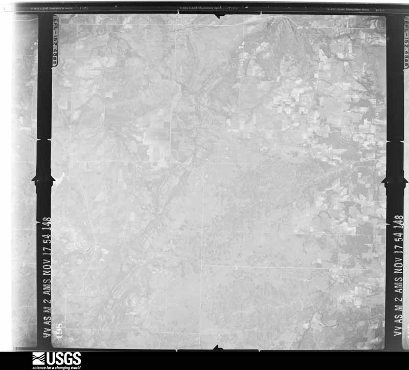
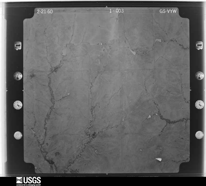
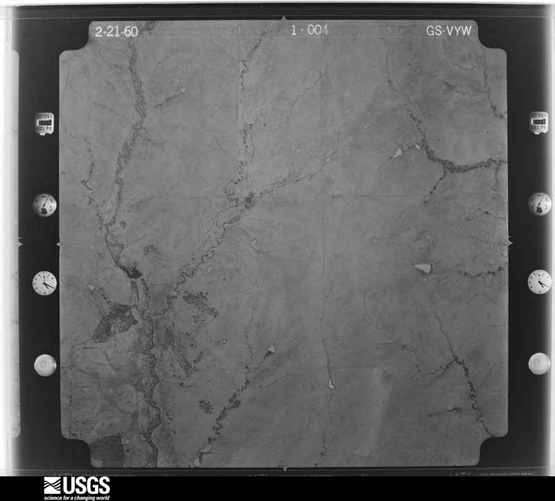
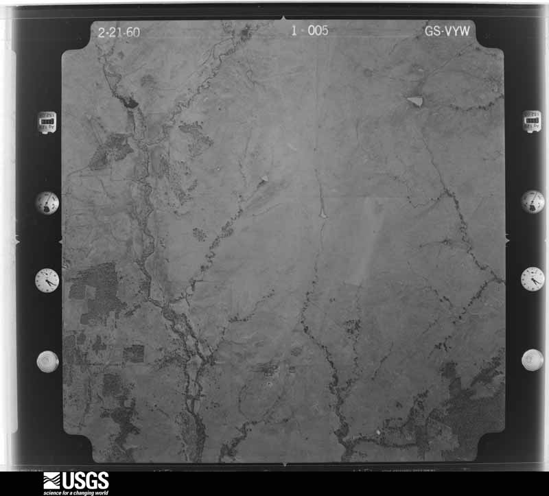
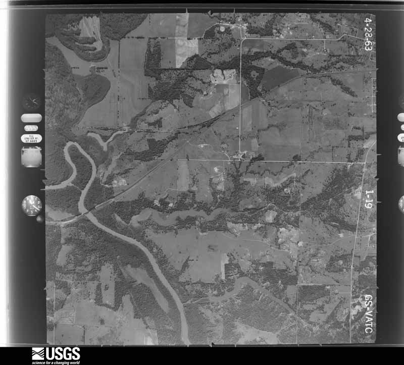
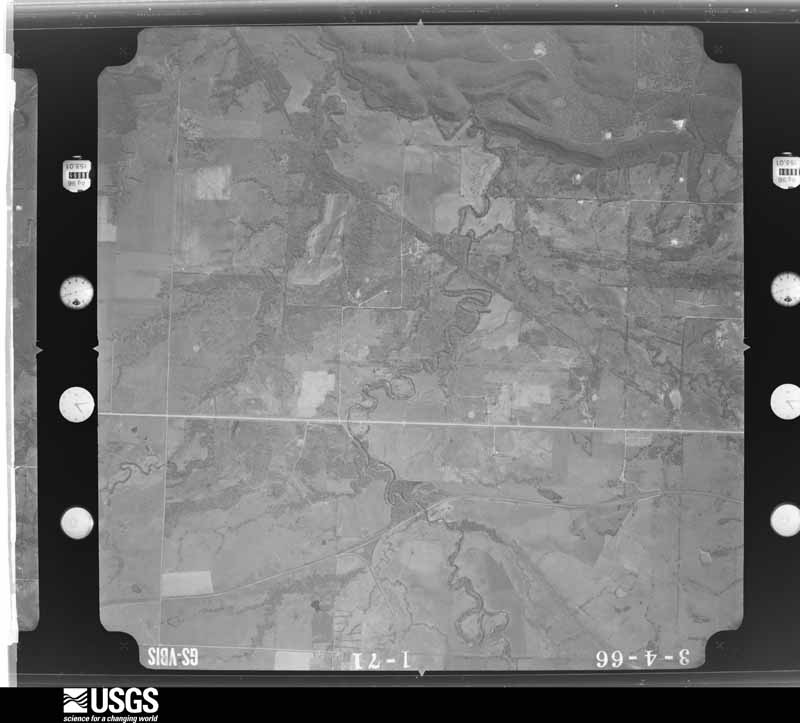
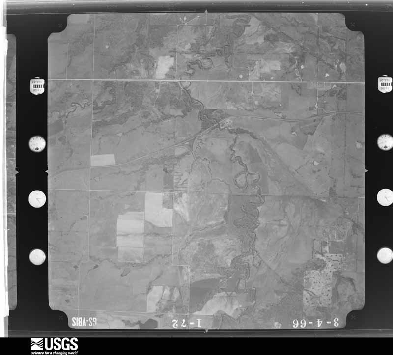
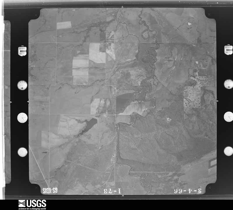
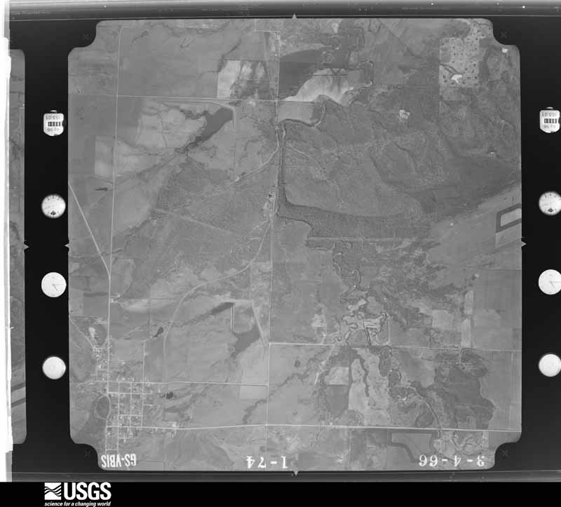
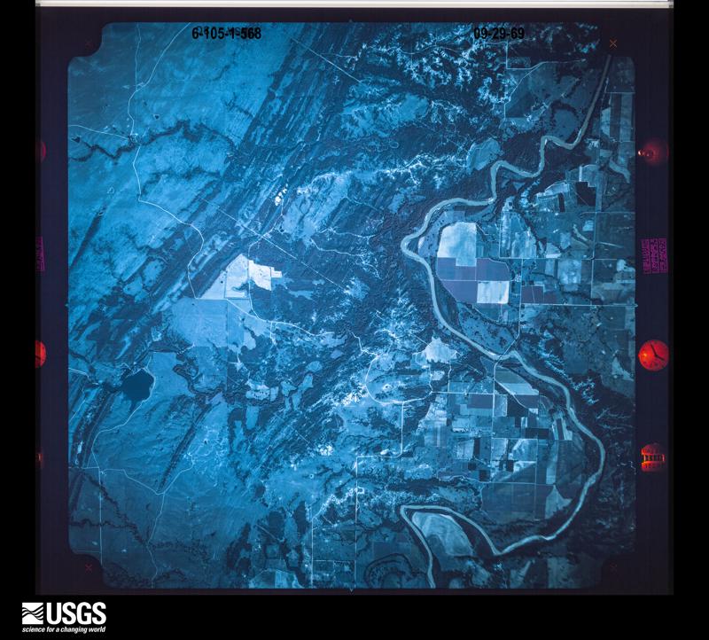
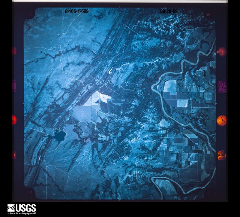
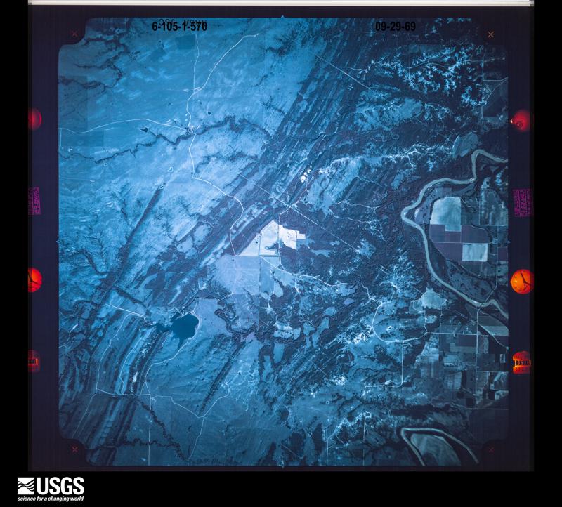
Flown by the U.S. Geological Survey between 1937 and 1989, the Aerial Photo Single Frames collection is the definitive mid-century view of the land: fields, roads and rivers as the camera saw them. The Survey holds 2,092 frames inside the rectangle that bounds this county; the 28 frames below were taken over the county itself, chosen across the decades of flights (at most four a year from that rectangle), so one flight cannot crowd out the rest. The full set is free to browse and download at EarthExplorer under the dataset Aerial Photo Single Frames.



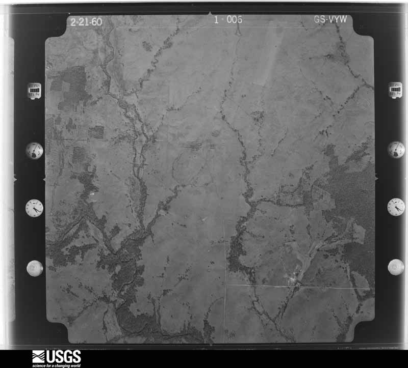
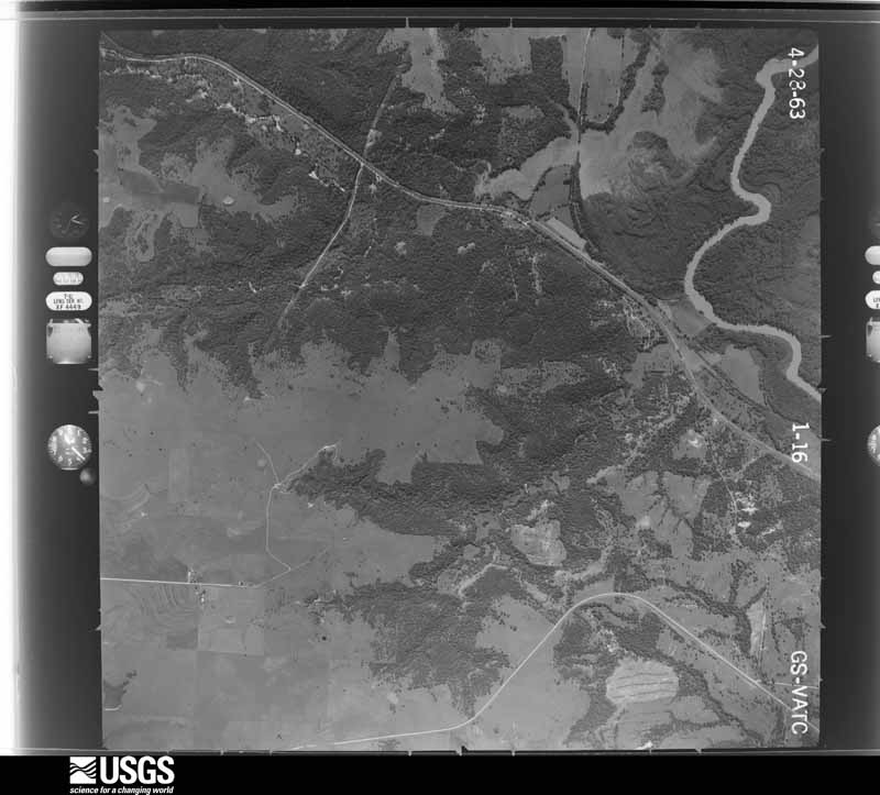
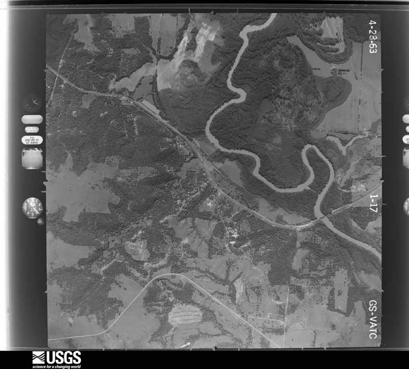
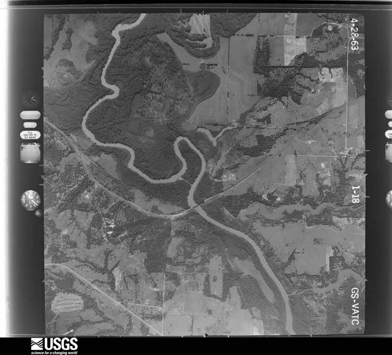
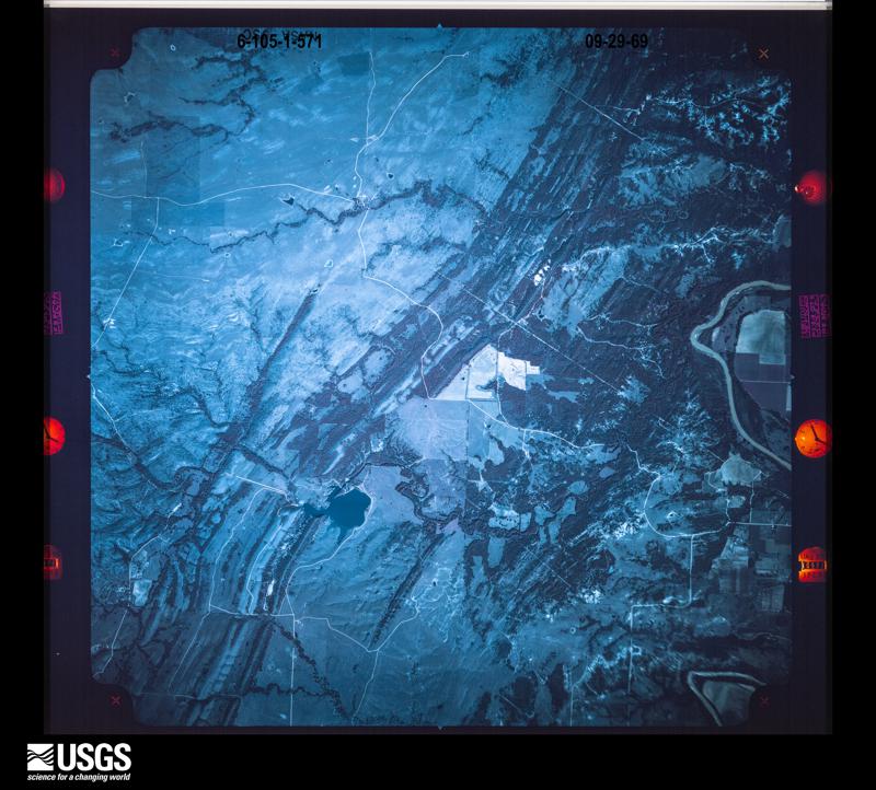




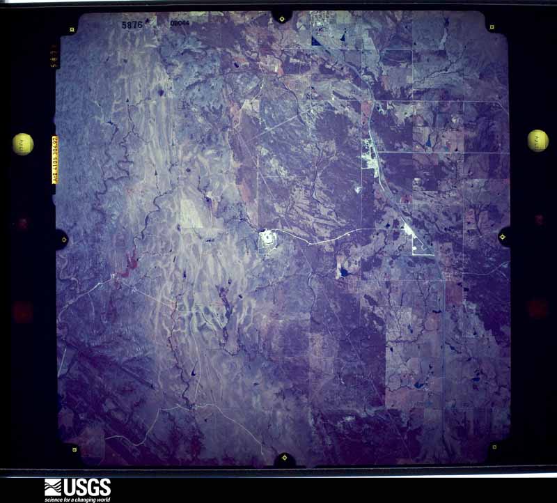
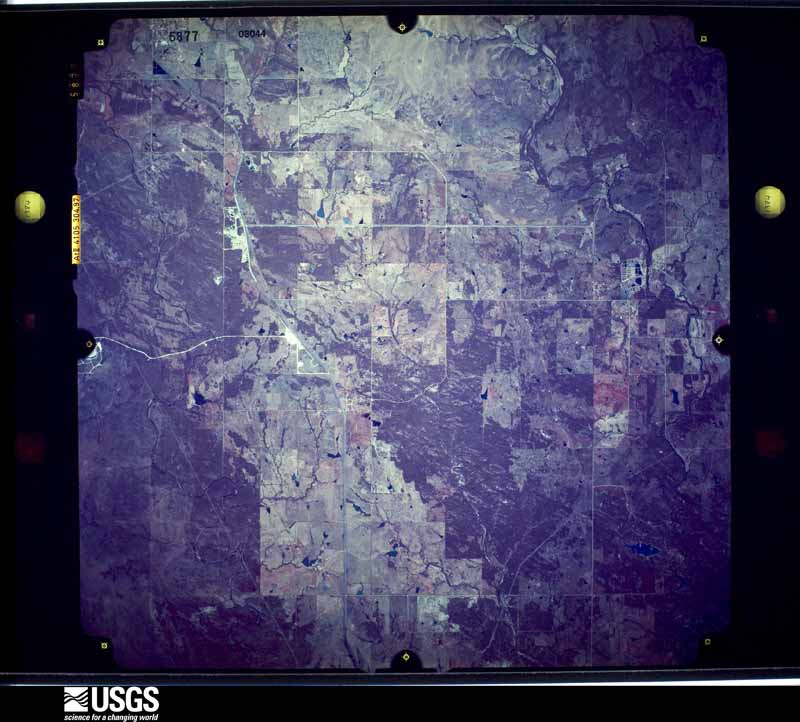


The thermometers that kept this county's weather, and the gages that measured the flow of its streams, as the federal records hold them. The extremes below are measured values from those records, not estimates.
Who lived here in 1950, one enumeration district at a time, as the Census Bureau described each district. Each row opens its official National Archives result, with Population Schedules and ED Maps available there.
Every wildfire the federal occurrence database records inside this county: 107 of them, burning about 19,328 acres. 7 started naturally and 10 were recorded as arson. Each settlement page carries the fires within five miles of it.
| Reported cause | Fires |
|---|---|
| Missing data/not specified/undetermined | 38 |
| Debris and open burning | 30 |
| Equipment and vehicle use | 16 |
| Arson/incendiarism | 10 |
| Natural | 7 |
| Fireworks | 2 |
| Power generation/transmission/distribution | 2 |
| Railroad operations and maintenance | 2 |
The five largest, by the area the report gives. None of them was recorded as arson.
| Date | Cause | Size | Reported by | Name on the report |
|---|---|---|---|---|
| 27 December 2005 | Missing data/not specified/undetermined | 3,000 acres | Tishomingo National Fish Hatcery | MILL CREEK |
| 25 July 2008 | Equipment and vehicle use | 2,640 acres | Chickasaw Agency | MCMILLAN |
| 18 August 2011 | Natural | 2,140 acres | Chickasaw Agency | DEAD MAN SPRINGS |
| 19 September 2000 | Missing data/not specified/undetermined | 2,060 acres | Chickasaw Agency | HARDEN |
| 18 March 2009 | Debris and open burning | 1,645 acres | Chickasaw Agency | BLUE RIVER |
| 27 December 2005 | Natural | 1,500 acres | Chickasaw Agency | GREENWOOD |
| 21 August 1993 | Debris and open burning | 1,027 acres | Chickasaw National Recreation Area | CHAPMAN |
| 2 February 1994 | Equipment and vehicle use | 766 acres | Chickasaw National Recreation Area | DAVIDSON |
Every settlement page carries the fires within five miles of it - see the settlement index below.
The NOAA Storm Events Database holds 479 reports for this county, causing 4 deaths, 9 injuries and about $9,188,910 in recorded property damage. Each settlement page carries the reports that name it.
| Kind of event | Reports |
|---|---|
| Hail | 241 |
| Thunderstorm Wind | 134 |
| Flash Flood | 49 |
| Tornado | 46 |
| Flood | 6 |
| Funnel Cloud | 2 |
| Lightning | 1 |
The most serious of them, by death, then injury, then recorded damage. The accounts are quoted exactly as the forecast office filed them.
| When | Event | Place named | Harm | What the report says |
|---|---|---|---|---|
| October 2018 | Flood | Tishomingo | 2 killed | Two young men, ages 17 and 18, went into Pennington Creek during Sunday (10/07/2018) afternoon. The young men were reported missing. A search and rescue team was organized and the bodies were found a few days later. The EM noted the creek was about six feet over its banks on Sunday. |
| May 2016 | Tornado (EF3) | Connerville | 1 killed, $250,000 | The tornado formed near US-377/OK-99 in northern Johnston County about 4 miles south of Connerville. The tornado damage trees and power poles, and caused roof damage to a home as it crossed Tower Road. Passing Deadman Spring Road, the tornado destroyed a modular home where the fatality occurred. A truck parked at this house was carried 250 yards to the east. The tornado continued moving east-northeast with more tree damage, and light damage to a couple of houses at the edge of the tornado path. Fortunately as the tornado had weakened as it approached the town of Bromide with only light tree damage observed there. ||From about 1.25 miles west of Bromide to where it dissipated just east of Bromide, the tornado moved down the Johnston-Coal county line affecting both counties. The center line of the tornado moved into Coal County in Bromide. |
| March 2018 | Flash Flood | Folsom | 1 killed | Swiftly moving water spilled over a dirt road. A 72 year old woman drove into the water and car stalled around 9am CDT. She was able to climb out of the car and to safety. Upon trying to get back into the car around 11:30am CDT, the lady fell into the water and was swept away. She was found approximately 150-200 yards down stream tangled in a log jam. |
| April 2001 | Tornado (F2) | Tishomingo | 4 hurt, $2,500,000 | This tornado formed over northern portions of Lake Texoma, then tracked northeastward for 16 miles before crossing into western Atoka County. About 5 miles east of Tishomingo in Johnston County, 2 injuries, both requiring hospital care, occurred when a mobile home was lofted and deposited upside-down about 40 yards from its original location. In addition, a frame home 1 mile east of Milburn was severely damaged when the roof was completely removed. Across the remainder of the damage path in Johnston County, 3 additional mobile homes were destroyed, and 21 other structures, including 1 business and 2 churches, sustained damage. |
| April 1966 | Tornado (F4) | not stated | 2 hurt, $250,000 | no account filed |
| May 1951 | Tornado (F2) | not stated | 1 hurt, $25,000 | no account filed |
| February 2009 | Thunderstorm Wind | Troy | 1 hurt | A house was damaged by thunderstorm winds near Troy. One woman was injured by flying glass. |
| June 1970 | Tornado (F1) | not stated | 1 hurt | no account filed |
| May 2010 | Tornado (EF2) | Coleman | $2,630,000 | This tornado is labeled #N2. The tornado developed about a mile south-southeast of Coleman and moved southeast another mile, eventually traveling just into Atoka county. Several buildings, including a home, sustained major damage. Four other homes sustained at least partial damage. The U Cross Arena and Pavilion was heavily damaged, with part of the roof moved removed, steal beams on the outside of the building knocked down, and a section of the building completely destroyed. The tornado continued across the Atoka county border. ||This tornado moved into Atoka County. |
| April 2020 | Hail | Milburn | $1,000,000 | Extensive damage reported to Milburn School, along with vehicle and home damage between Milburn and Tishimingo. |
| February 2009 | Thunderstorm Wind | Mill Creek | $250,000 | The conveyor system of a rock plant near Mill Creek was destroyed by thunderstorms winds. The plant was out of service for 2 months while repairs were made. The time of the damage is estimated. |
| April 1982 | Tornado (F1) | not stated | $250,000 | no account filed |
| March 2025 | Tornado (EF0) | Nida | $200,000 | The Nida Tornado developed about a mile southwest of Nida where a mobile home and a barn were destroyed. The tornado moved northeast to Nida, then east along State Highway 22 before turning northeast destroying additional barns and outbuildings before dissipating near Prairie Dog Road. |
| April 2025 | Tornado (EF1) | Nida | $150,000 | This tornado moved across southeastern Johnston County, developing southeast of the Tishomingo National Wildlife Refuge near the community of Bee, and moving northeast and then north to south of Coleman. Damage was primarily to trees, but at least two homes had roof damage and a couple of outbuildings were damaged. |
| April 2005 | Tornado (F1) | Milburn | $125,000 | A southeast moving thunderstorm produced a tornado near Milburn after dark. This tornado, illuminated by lightning, was seen by several people as it moved east-northeast. The tornado destroyed a small chicken coup or barn. A large tree was also snapped landing on a car, severely damaging the vehicle. Ten to fifteen large pecan trees were uprooted and partially debarked. Several of these trees were reported to be over three feet in diameter. |
| March 2026 | Thunderstorm Wind | Mannsville | $100,000 | Widespread thunderstorm wind damage occurred in Mannsville. At least ten homes received varying degrees of roof damage, several power poles were snapped and at least one outbuilding was destroyed. The Mannsville School also received minor damage. The event time is estimated based on radar observations. |
| March 2022 | Tornado (EF1) | Emet | $100,000 | The final tornado from this storm developed just inside Johnston County where tree damage was noted on the northeastern side of the northern arm of Lake Texoma. The tornado continued northeast moving through the community of Emet producing tree damage and roof damage to some homes. The tornado likely dissipated just southeast of Milburn near the Blue River, however the storm continued to produce wind damage across Johnston County in areas between Milburn and Wapanucka. |
| April 2020 | Tornado (EF1) | Bromide | $100,000 | This tornado moved east from south of Bromide to north of Wapanucka and was observed by a number of spotters and chasers. A barn was damaged and a camper trailer was blown over north of Wapanucka, and trees and utility poles were damaged along the path. |
| May 2015 | Flash Flood | Nida | $100,000 | Several rural roads washed out. Blue River running across highway 48, flooding nearby low lying areas and pastures. |
| February 2009 | Thunderstorm Wind | Mill Creek | $100,000 | A second rock plant near Mill Creek was damaged by thunderstorms winds. The office and control areas were damaged by the winds. The time of the damage is estimated. |
| January 2000 | Lightning | Nida | $100,000 | Lightning struck a two-story house causing a fire that completely destroyed the home. |
| April 2026 | Thunderstorm Wind | Reagan | $75,000 | A swath of significant thunderstorm wind damage occurred in the area along Oklahoma Highway 7, from near the U.S. Highway 377 intersection to areas west-southwest of Wapanucka. Numerous trees were blown down or uprooted, including at least one that landed on a house near the U.S. Highway 377 intersection. At least fourteen power poles were also snapped or blown down. The path is estimated and the event time is estimated based on radar observations. |
| May 2025 | Flash Flood | Milburn | $75,000 | A relayed image shows a section of roadway washed out, with a vehicle in the washout, near the intersection of Chickasaw Avenue and 9th Street in the community of Milburn. The event time is approximate. |
| May 2025 | Flash Flood | Tishomingo | $50,000 | Multiple sections of 7 Springs Road were washed out due to flooding. The event time is approximate. |
| April 2024 | Tornado (EF1) | Ravia | $50,000 | Johnston County Emergency Management provided drone video of widespread tree damage from a tornado that moved north-northwest from north of Ravia to west of Reagan. Many trees were broken or uprooted in the prairie north of Ravia. Before dissipating, a few barns and outbuildings were also damaged as the tornado approached Pace Road west of Reagan. The tornado dissipated soon after crossing Pace Road. |
| March 2022 | Thunderstorm Wind | Milburn | $50,000 | After the tornado dissipated to the east-southeast of Milburn, the storm continued to produce wind damage as it moved northeast to areas west-southwest of Wapanucka. At least eight homes were affected or had minor damage according to assessments from emergency management. |
| September 2002 | Thunderstorm Wind | Tishomingo | $50,000 | A large tree limb fell through the roof of a house, and a tree fell on two vehicles. |
| July 1995 | Thunderstorm Wind | Coleman | $50,000 | Severe thunderstorm winds downed limbs and uprooted trees two miles south of Coleman in Johnston County. A garage door was also damaged and a mobile home was shifted off its foundation by the severe winds. |
| April 2026 | Thunderstorm Wind | Fillmore | $25,000 | A swath of significant thunderstorm wind damage occurred in the area between Old Cabin Road and Bold Springs Road, north of Fillmore. Numerous trees were uprooted or snapped and at least two outbuildings were destroyed. The path is estimated and the event time is estimated based on radar observations. |
| May 2025 | Flash Flood | Tishomingo | $25,000 | A relayed image shows a section of Neshoba Street, between Main Street and 12th Street, washed out due to flooding. The event time is approximate. |
| June 2024 | Flash Flood | Troy | $25,000 | Heavy rainfall caused Sand Creek and Rock Creek to rise out of their banks, flooding roadways in and around the community of Ravia. Roadways experiencing flooding included: Pine Creek Road, Slippery Falls Road, South Dexter Road, McSwain Lane and Fuller Lane, with portions of the two latter locations washed out. Event time is approximate. |
| October 2018 | Flash Flood | Milburn | $25,000 | Home in low-lying area with 6-8 inches of water inside. |
| June 2007 | Flash Flood | Bromide | $25,000 | Bromide City Hall reported six inches of water inside the building. Monetary damages were estimated. |
| March 1991 | Tornado (F1) | not stated | $25,000 | no account filed |
| May 1988 | Tornado (F1) | not stated | $25,000 | no account filed |
| June 1983 | Tornado (F2) | not stated | $25,000 | no account filed |
| May 1962 | Tornado (F2) | not stated | $25,000 | no account filed |
| May 1957 | Tornado (F2) | not stated | $25,000 | no account filed |
| June 2023 | Thunderstorm Wind | Ravia | $20,000 | Tin roof removed from a house, multiple trees uprooted and power lines down in and near the community of Ravia. Time is radar estimated. |
| June 1998 | Thunderstorm Wind | Countywide | $20,000 | Severe thunderstorm winds were estimated at 70 to 80 mph across northern Johnston County. Trees and power lines were downed throughout the area. A hay barn and mobile home in Connerville lost their roofs, a tree was downed onto a car in Wapanucka, and a storage building was destroyed in Tishomingo. |
| May 2025 | Thunderstorm Wind | Tishomingo | $15,000 | A relayed image shows portions of a large brick support wall collapsed due to thunderstorm winds. The event time is estimated from radar observations. |
| October 1996 | Thunderstorm Wind | Coleman | $15,000 | no account filed |
| April 2026 | Thunderstorm Wind | Wapanucka | $10,000 | A power pole was blown onto a building at Wapanucka High School. The event time is estimated based on radar observations. |
| April 2026 | Tornado (EF1) | Coleman | $10,000 | This tornado developed near Blue Spring Road just west of State Highway 48 north of Coleman where a barn lost part of its metal roof and trees were snapped. The tornado moved east-southeast damaging trees and another outbuilding at the county line as it crossed into Atoka County. |
| April 2025 | Thunderstorm Wind | Ravia | $10,000 | Numerous trees were blown down, along with damage to at least one power pole, in and around the community of Ravia. Event time is estimated from radar observations. |
| June 2025 | Flash Flood | Fillmore | $10,000 | A tinhorn was washed out near the intersection of Fillmore Road and Sandy Springs Road. The event time is approximate. |
| May 2019 | Thunderstorm Wind | Wapanucka | $10,000 | Part of a roof from a house awning flew off and landed on a car. Some minor tree damage. |
| April 2019 | Thunderstorm Wind | Tishomingo | $10,000 | Tree down on vehicle at Byrd and 12TH street. |
| August 2019 | Thunderstorm Wind | Tishomingo | $10,000 | Half of roof blown off business. Large tree branches down. Numerous power outages. Time estimated. |
| May 2017 | Flash Flood | Pontotoc | $10,000 | House was evacuated due to flooding. Highway 377 was closed down to one lane and highway 7 was closed in places as well. |
| May 2017 | Flash Flood | Reagan | $10,000 | Flooding resulted in rescues from homes. |
| July 2017 | Thunderstorm Wind | Folsom | $10,000 | Roof damage to the sundown trailer facility caused by a thunderstorm downburst. |
| August 2009 | Thunderstorm Wind | Reagan | $10,000 | Several power lines were blown down near the junction of Highway 7 and US 377. Monetary damages were estimated. |
| July 2011 | Thunderstorm Wind | Ravia | $9,000 | A couple of large trees and several tree limbs were downed across the roadway. Power lines were also downed, which resulted in spotty power outages. Monetary damages were estimated. |
| June 2005 | Thunderstorm Wind | Countywide | $7,500 | Widespread tree damage occurred across the county. The trees were reported to be between 12 and 20 inches in diameter. A few of the trees fell on roadways. |
| July 2020 | Thunderstorm Wind | Pontotoc | $7,000 | Extensive tree damage in the area between Pontotoc and Connerville, also 7 downed power poles. |
| November 2018 | Tornado (EF0) | Tishomingo | $6,000 | A small tornado from a quasi-linear convective system moved through portions of Tishomingo. It moved north, then northeast from the southern part of town to northeast of downtown. There were areas of roof and tree damage along the path, and some minor damage at Tishomingo Elementary School. |
| July 1997 | Thunderstorm Wind | Tishomingo | $5,100 | Severe thunderstorm winds blew a tree onto a gas meter, destroyed a dugout at the Tishomingo ballpark, and blew the roof off a mobile home north of town. |
| May 2025 | Thunderstorm Wind | Ravia | $5,000 | A relayed image shows a large tree limb blown down onto a power line in the community of Ravia. The event time is estimated from radar observations. |
| May 2024 | Thunderstorm Wind | Troy | $5,000 | Two power poles snapped near the intersection of Oklahoma Highways 1 and 7. Time is radar estimated. |
The Survey's mineral resources record lists 97 workings inside this county. 9 still produce and 88 are closed or unrecorded. Each settlement page carries the workings within five miles of it.
| Commodity | Workings |
|---|---|
| Sand and Gravel, Construction | 74 |
| Dolomite | 6 |
| Clay | 6 |
| Granite | 5 |
| Stone, Crushed/Broken | 4 |
| Dolomite, Stone, Crushed/Broken | 1 |
| Silica | 1 |
The least common of them first, because a county's hundredth gravel pit says nothing its first ten did not.
| Where | Site | Commodity | Status | Recorded |
|---|---|---|---|---|
| Delta Dolomite Pit | Dolomite, Stone, Crushed/Broken | Producer | ||
| Mill Creek | Silica | Producer | ||
| Oklahoma Works | Stone, Crushed/Broken | Producer | ||
| Unknown Limestone Pit | Stone, Crushed/Broken | Past Producer | ||
| Unknown Limestone Quarry | Stone, Crushed/Broken | Past Producer | ||
| Unknown Limestone Quarry | Stone, Crushed/Broken | Past Producer | ||
| Anderson Quarry | Granite | Producer | ||
| Tweed Quarry | Granite | Producer | ||
| Unknown Granite Quarry | Granite | Past Producer | ||
| Unknown Granite Quarry | Granite | Past Producer | ||
| Unknown Granite Quarry | Granite | Past Producer | ||
| Unknown Dolomite Pit | Dolomite | Past Producer | ||
| Unknown Dolomite Quarry | Dolomite | Past Producer | ||
| Unknown Dolomite Quarry | Dolomite | Past Producer | ||
| Unknown Dolomite Quarry | Dolomite | Past Producer | ||
| Unknown Dolomite Quarry | Dolomite | Past Producer | ||
| Unknown Dolomite Quarry | Dolomite | Past Producer | ||
| Unknown Shale Pit | Clay | Past Producer | ||
| Unknown Shale Pit | Clay | Past Producer | ||
| Unknown Shale Pit | Clay | Past Producer | ||
| Unknown Shale Pit | Clay | Past Producer | ||
| Unknown Shale Pits | Clay | Past Producer | ||
| Unknown Shale Pits | Clay | Past Producer | ||
| County Gravel Pit | Sand and Gravel, Construction | Producer | ||
| County Sand Pit | Sand and Gravel, Construction | Producer | ||
| Penn Glass Plant & Pit | Sand and Gravel, Construction | Producer | ||
| Unknown Gravel Pit | Sand and Gravel, Construction | Past Producer | ||
| Unknown Gravel Pit | Sand and Gravel, Construction | Past Producer | ||
| Unknown Gravel Pit | Sand and Gravel, Construction | Past Producer | ||
| Unknown Gravel Pit | Sand and Gravel, Construction | Past Producer | ||
| Unknown Gravel Pit | Sand and Gravel, Construction | Past Producer | ||
| Unknown Gravel Pit | Sand and Gravel, Construction | Past Producer | ||
| Unknown Gravel Pit | Sand and Gravel, Construction | Past Producer | ||
| Unknown Gravel Pit | Sand and Gravel, Construction | Past Producer | ||
| Unknown Gravel Pit | Sand and Gravel, Construction | Producer | ||
| Unknown Gravel Pit | Sand and Gravel, Construction | Past Producer | ||
| Unknown Gravel Pit | Sand and Gravel, Construction | Past Producer | ||
| Unknown Gravel Pit | Sand and Gravel, Construction | Past Producer | ||
| Unknown Gravel Pit | Sand and Gravel, Construction | Past Producer | ||
| Unknown Gravel Pit | Sand and Gravel, Construction | Past Producer | ||
| Unknown Gravel Pit | Sand and Gravel, Construction | Past Producer | ||
| Unknown Gravel Pit | Sand and Gravel, Construction | Past Producer | ||
| Unknown Gravel Pit | Sand and Gravel, Construction | Past Producer | ||
| Unknown Gravel Pit | Sand and Gravel, Construction | Past Producer | ||
| Unknown Gravel Pit | Sand and Gravel, Construction | Past Producer | ||
| Unknown Gravel Pit | Sand and Gravel, Construction | Past Producer | ||
| Unknown Gravel Pit | Sand and Gravel, Construction | Past Producer | ||
| Unknown Gravel Pit | Sand and Gravel, Construction | Past Producer | ||
| Unknown Gravel Pit | Sand and Gravel, Construction | Past Producer | ||
| Unknown Gravel Pit | Sand and Gravel, Construction | Past Producer | ||
| Unknown Gravel Pit | Sand and Gravel, Construction | Past Producer | ||
| Unknown Gravel Pit | Sand and Gravel, Construction | Past Producer | ||
| Unknown Gravel Pit | Sand and Gravel, Construction | Past Producer | ||
| Unknown Gravel Pit | Sand and Gravel, Construction | Past Producer | ||
| Unknown Gravel Pit | Sand and Gravel, Construction | Past Producer | ||
| Unknown Gravel Pit | Sand and Gravel, Construction | Past Producer | ||
| Unknown Gravel Pit | Sand and Gravel, Construction | Past Producer | ||
| Unknown Gravel Pit | Sand and Gravel, Construction | Past Producer | ||
| Unknown Gravel Pit | Sand and Gravel, Construction | Past Producer | ||
| Unknown Gravel Pit | Sand and Gravel, Construction | Past Producer | ||
| Unknown Gravel Pit | Sand and Gravel, Construction | Past Producer | ||
| Unknown Gravel Pit | Sand and Gravel, Construction | Past Producer | ||
| Unknown Gravel Pit | Sand and Gravel, Construction | Past Producer | ||
| Unknown Gravel Pit | Sand and Gravel, Construction | Past Producer | ||
| Unknown Gravel Pit | Sand and Gravel, Construction | Past Producer | ||
| Unknown Gravel Pit | Sand and Gravel, Construction | Past Producer | ||
| Unknown Gravel Pit | Sand and Gravel, Construction | Past Producer | ||
| Unknown Gravel Pits | Sand and Gravel, Construction | Past Producer | ||
| Unknown Gravel Pits | Sand and Gravel, Construction | Past Producer | ||
| Unknown Gravel Pits | Sand and Gravel, Construction | Past Producer | ||
| Unknown Gravel Pits | Sand and Gravel, Construction | Past Producer | ||
| Unknown Gravel Pits | Sand and Gravel, Construction | Past Producer | ||
| Unknown Gravel Pits | Sand and Gravel, Construction | Past Producer | ||
| Unknown Gravel Pits | Sand and Gravel, Construction | Past Producer | ||
| Unknown Gravel Pits | Sand and Gravel, Construction | Past Producer | ||
| Unknown Gravel Pits | Sand and Gravel, Construction | Past Producer | ||
| Unknown Gravel Pits | Sand and Gravel, Construction | Past Producer | ||
| Unknown Gravel Pits | Sand and Gravel, Construction | Past Producer | ||
| Unknown Gravel Pits | Sand and Gravel, Construction | Past Producer | ||
| Unknown Gravel Pits | Sand and Gravel, Construction | Past Producer | ||
| Unknown Gravel Pits | Sand and Gravel, Construction | Past Producer | ||
| Unknown Gravel Pits | Sand and Gravel, Construction | Past Producer | ||
| Unknown Gravel Pits | Sand and Gravel, Construction | Past Producer | ||
| Unknown Gravel Pits | Sand and Gravel, Construction | Past Producer | ||
| Unknown Gravel Pits | Sand and Gravel, Construction | Past Producer | ||
| Unknown Gravel Pits | Sand and Gravel, Construction | Past Producer | ||
| Unknown Gravel Pits | Sand and Gravel, Construction | Past Producer | ||
| Unknown Gravel Pits | Sand and Gravel, Construction | Past Producer | ||
| Unknown Gravel Pits | Sand and Gravel, Construction | Past Producer | ||
| Unknown Gravel Pits | Sand and Gravel, Construction | Past Producer | ||
| Unknown Sand Pit | Sand and Gravel, Construction | Past Producer | ||
| Unknown Sand Pit | Sand and Gravel, Construction | Past Producer | ||
| Unknown Sand Pit | Sand and Gravel, Construction | Past Producer | ||
| Unknown Sand Pit | Sand and Gravel, Construction | Past Producer | ||
| Unknown Sand Pit | Sand and Gravel, Construction | Past Producer | ||
| Unknown Sand Pits | Sand and Gravel, Construction | Past Producer | ||
| Unknown Sand Pits | Sand and Gravel, Construction | Past Producer |
Named settlements recorded in the Geographic Names Information System, each with the topographic sheets covering it. Villages, hamlets and abandoned places alike. Each is shown with the nearest named watercourse or landform and the survey quadrangle it falls on. The 3 places that were also surveyed for fire insurance come first, with the number of atlases and photographs held for them.
East Johnston census division · 73450 · On Brushy Creek · Milburn quadrangle
13 sheets, 1901 to 1985
Fire insurance: 2 atlases
Tishomingo census division · 73460 · Tishomingo quadrangle
13 sheets, 1901 to 1985
Fire insurance: 6 atlases
East Johnston census division · 73461 · Wapanucka South quadrangle
14 sheets, 1899 to 1985
Fire insurance: 4 atlases
East Johnston census division · 74748 · Near Goat Island · Little City quadrangle
13 sheets, 1901 to 1985
East Johnston census division · 74530 · On Houghtubby Branch · Wapanucka North quadrangle
15 sheets, 1899 to 1985
East Johnston census division · 73461 · On Sandy Creek · Wapanucka North quadrangle
15 sheets, 1899 to 1985
East Johnston census division · 73432 · On Sandy Creek · Caddo NW quadrangle
14 sheets, 1899 to 1985
West Johnston census division · 74856 · On Threemile Creek · Mill Creek quadrangle
15 sheets, 1901 to 1985
Tishomingo census division · 73460 · On Keel Creek · Reagan quadrangle
14 sheets, 1901 to 1985
13 topographic sheets and 6 fire insurance atlases, 1898 to 1918
14 topographic sheets and 4 fire insurance atlases, 1904 to 1918
13 topographic sheets and 2 fire insurance atlases, 1924