 Block
From the record
6 National Register listings published here.
Sources: the National Register database, National Park Service
54 topographic sheets and 23 fire insurance atlases across 6 places.
6 National Register listings published here.
Sources: the National Register database, National Park Service
Every property in this county listed on the National Register of Historic Places, with the year it was listed and the federal nomination document.
| Photograph | Property | Type | Listed | Reference |
|---|---|---|---|---|
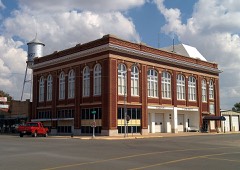 | Downtown Hobart Historic District | district | 2005 | 05000130 |
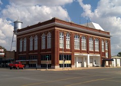 | Hobart City Hall | building | 1978 | 78002240 |
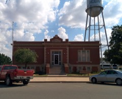 | Hobart Public Library | building | 1980 | 80003267 |
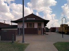 | Hobart Rock Island Depot | building | 1995 | 95001418 |
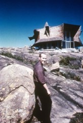 | Joyce House | building | 2012 | 11000338 |
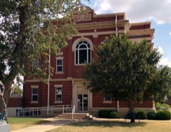 | Kiowa County Courthouse | building | 1984 | 84003094 |
Drawn when these were printed as single large sheets: the town seen from the air, and the county divided into its farms with every owner named. Each opens the original at the Library of Congress.
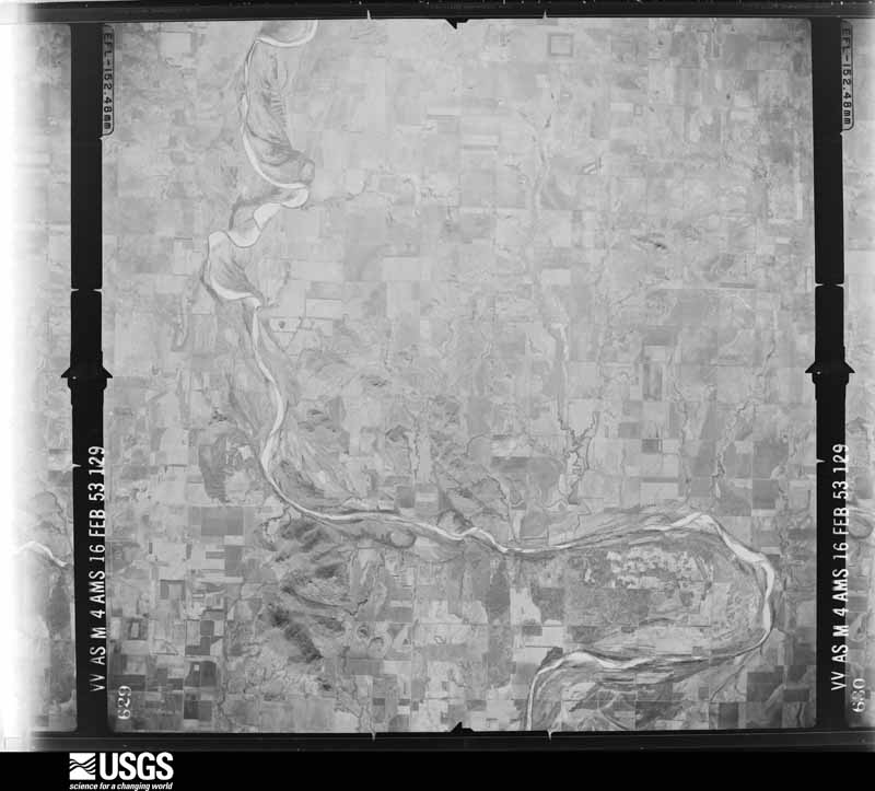
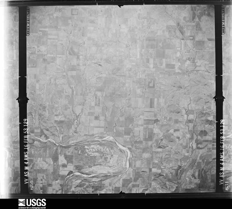
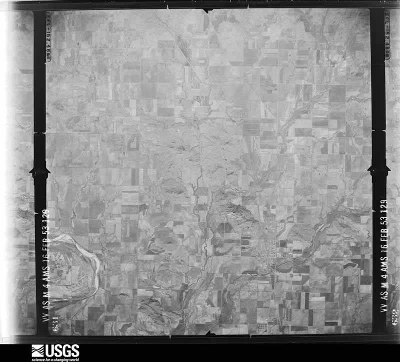
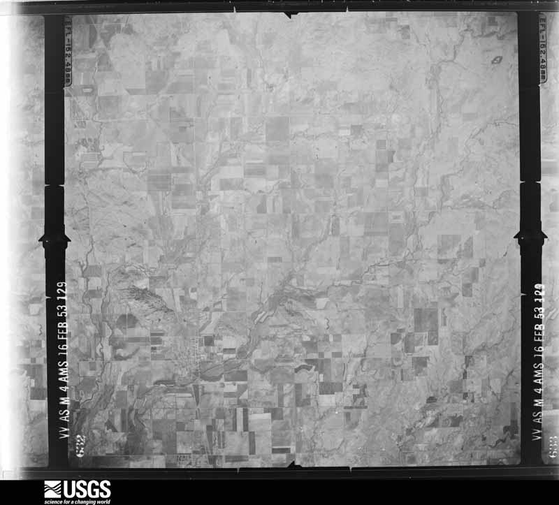
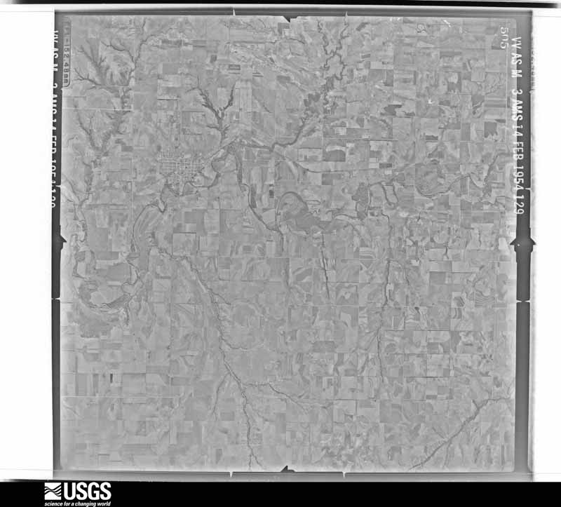
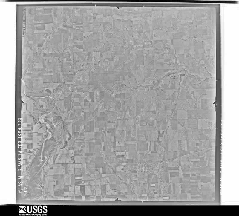
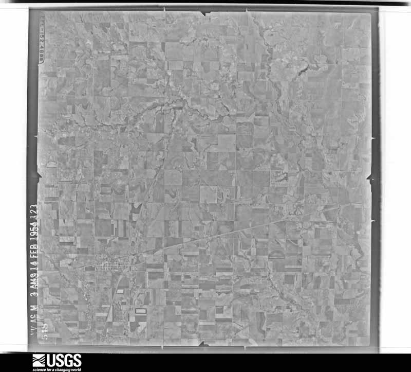
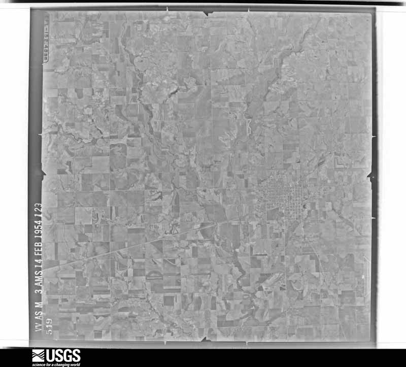
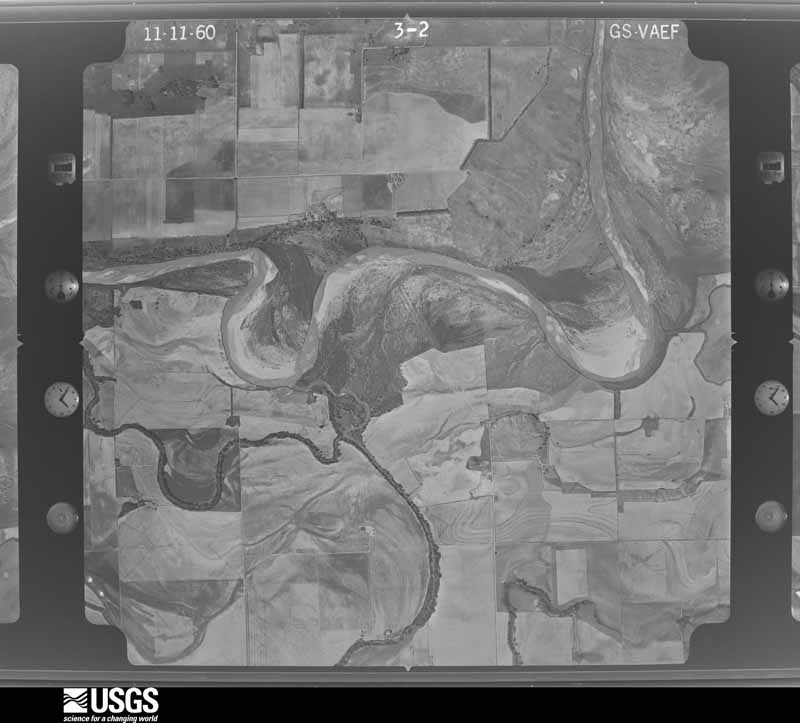
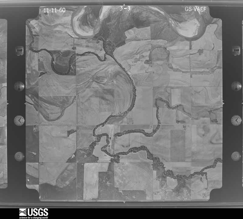
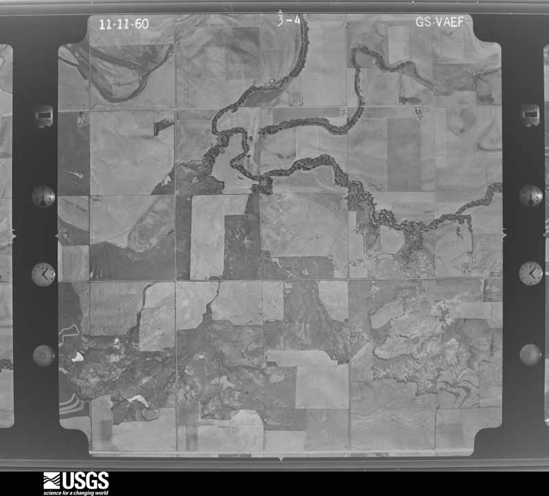
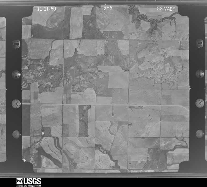
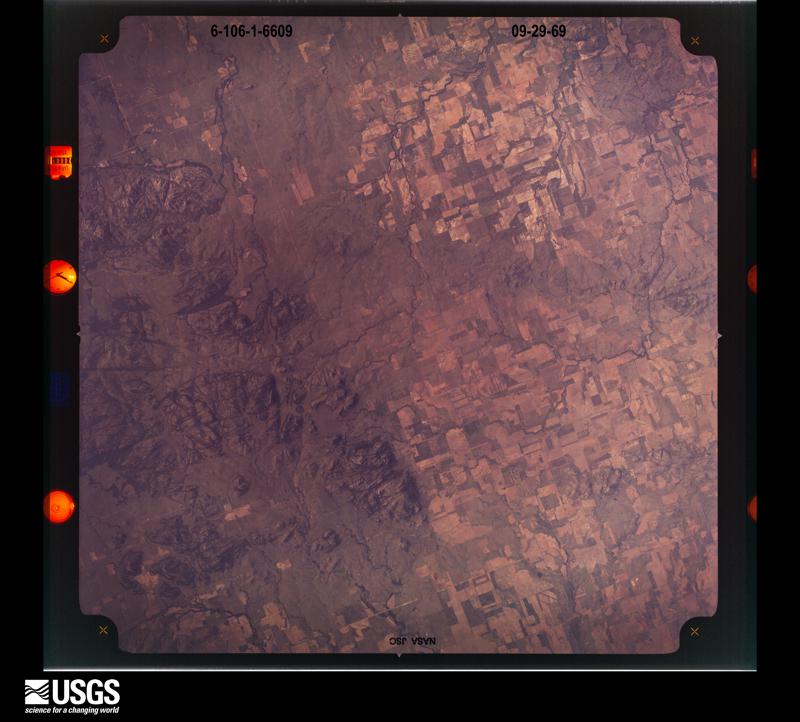
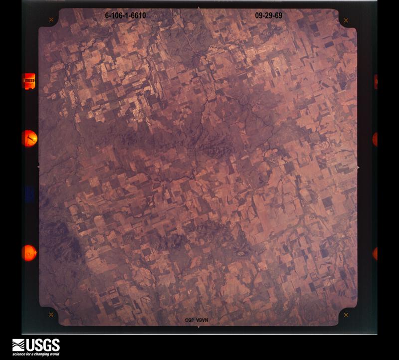
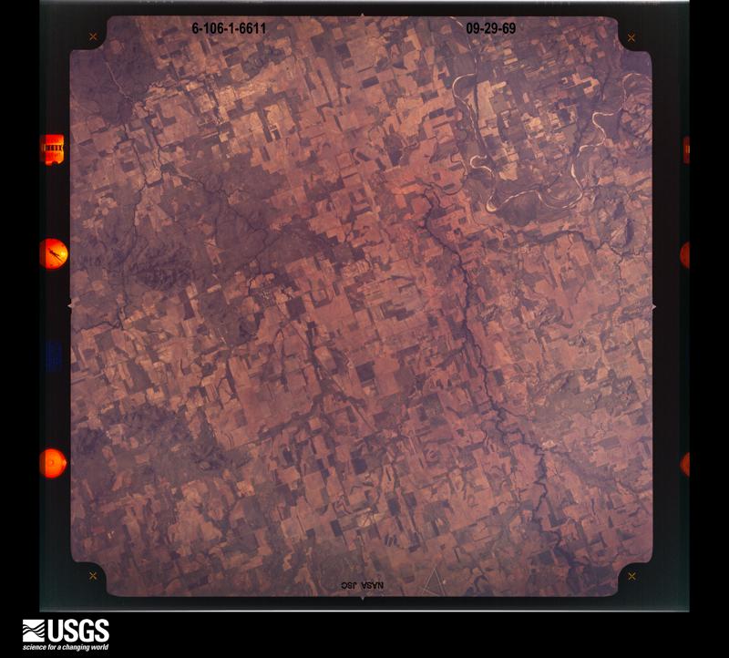
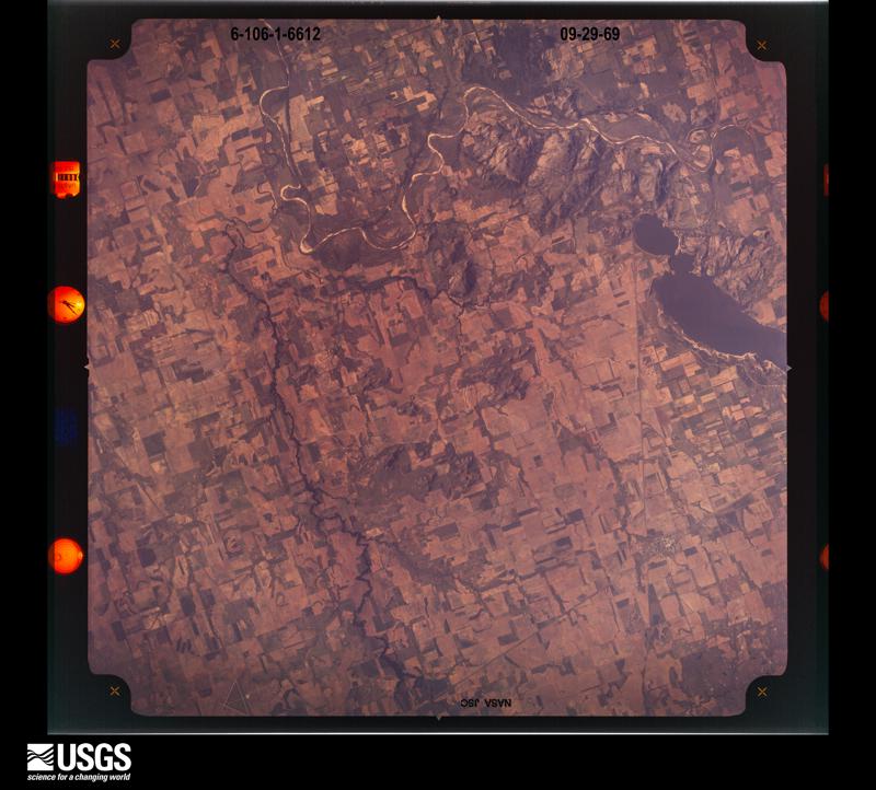
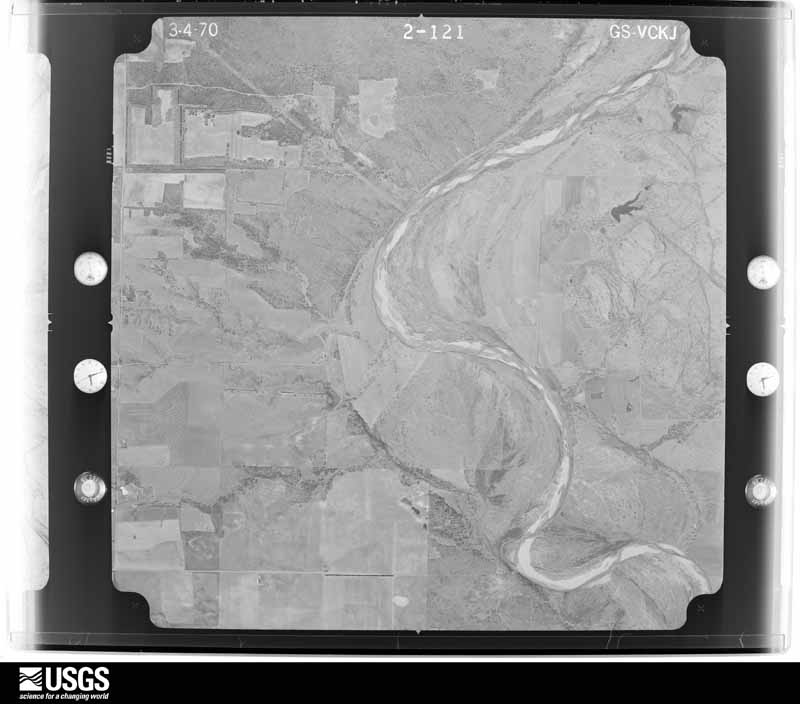
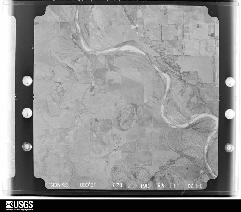
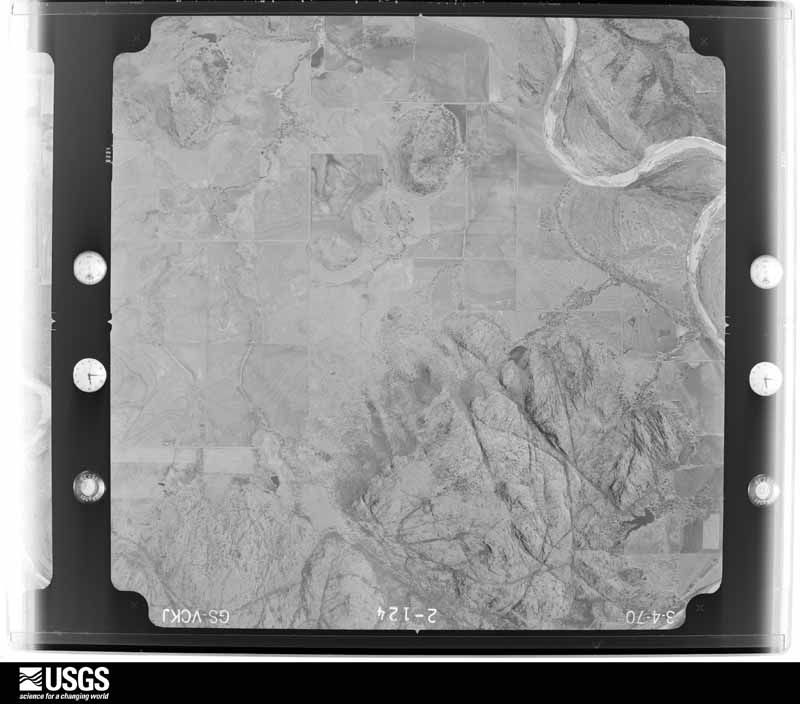
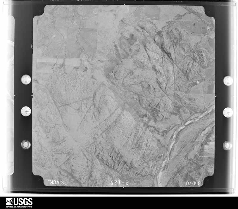
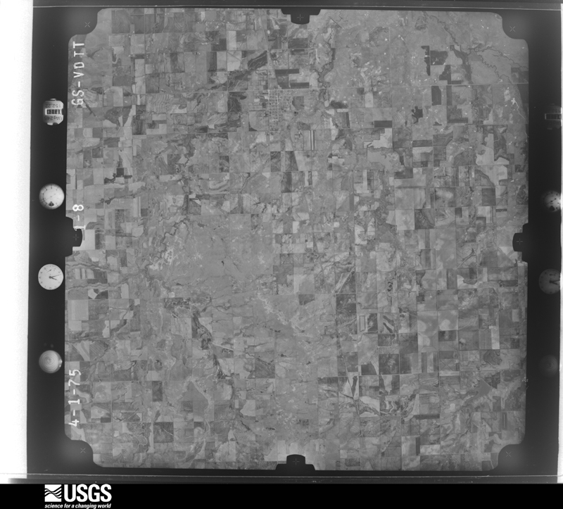
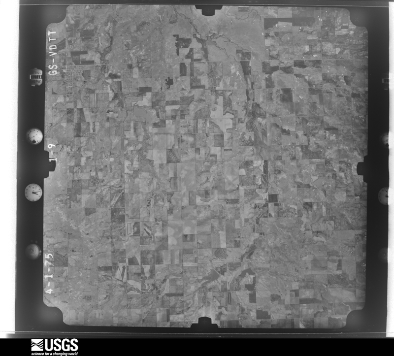
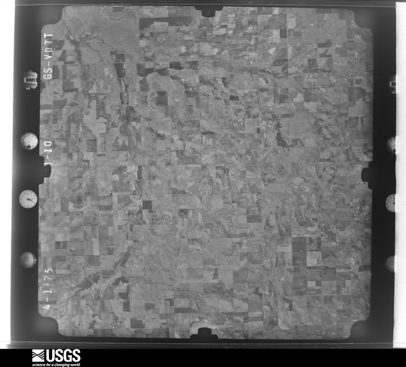
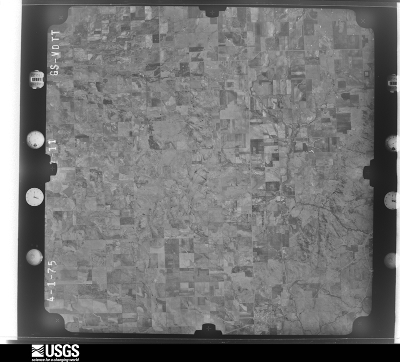
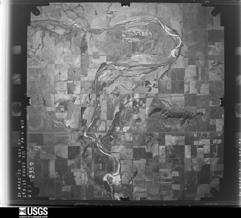
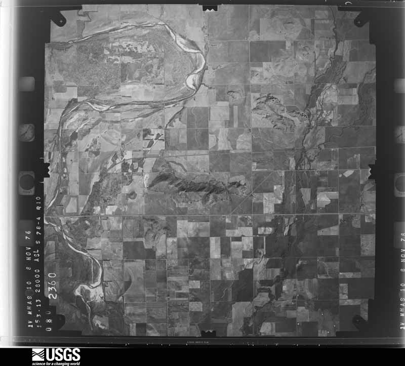
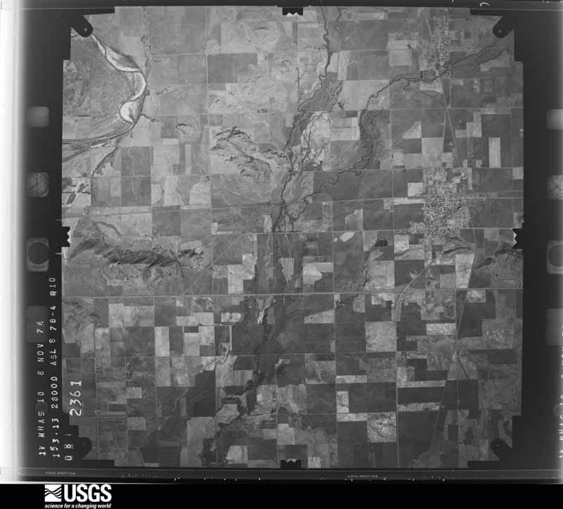
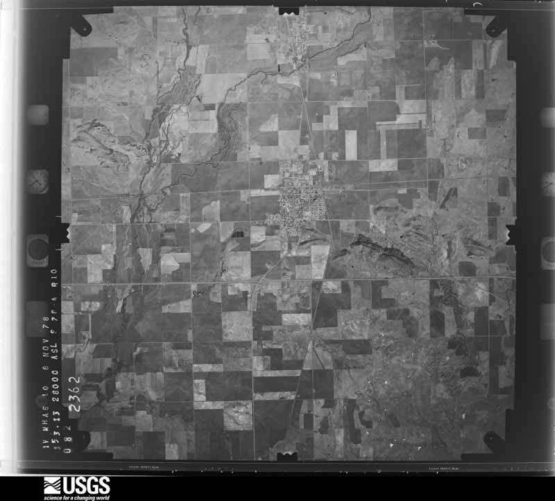
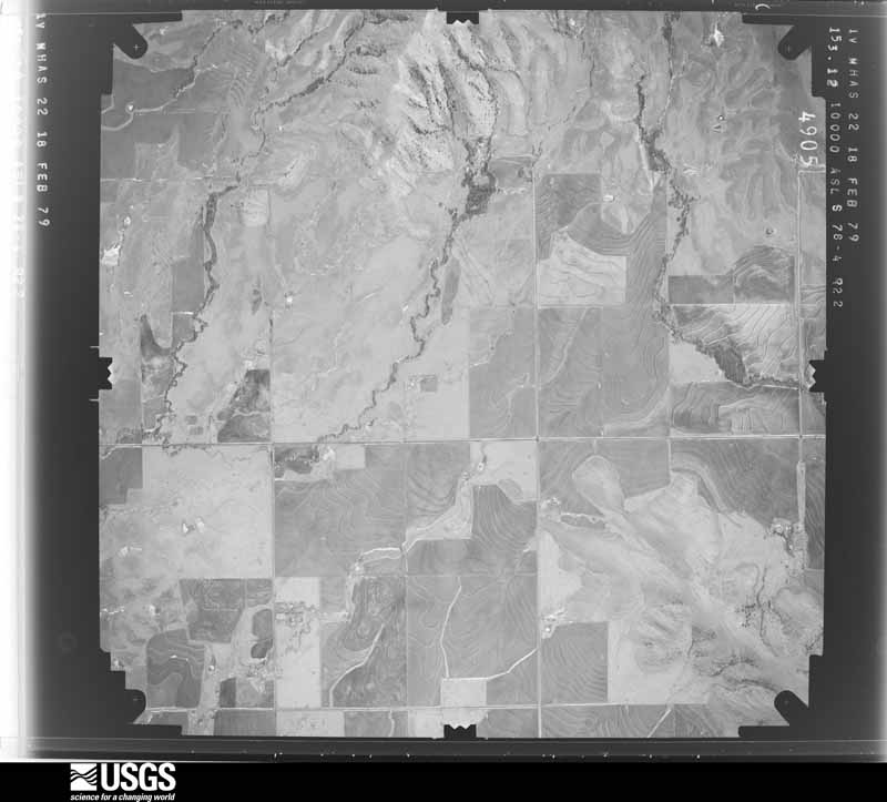
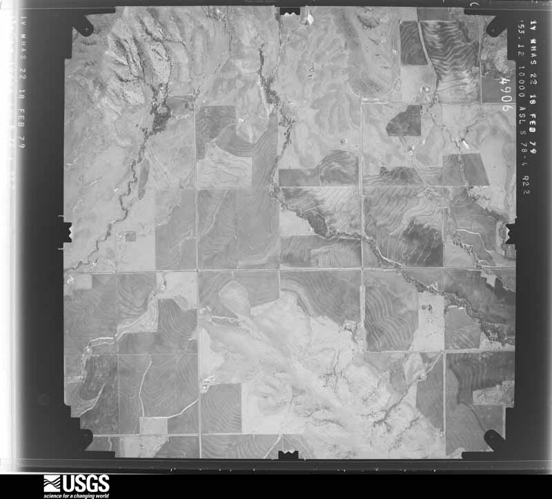
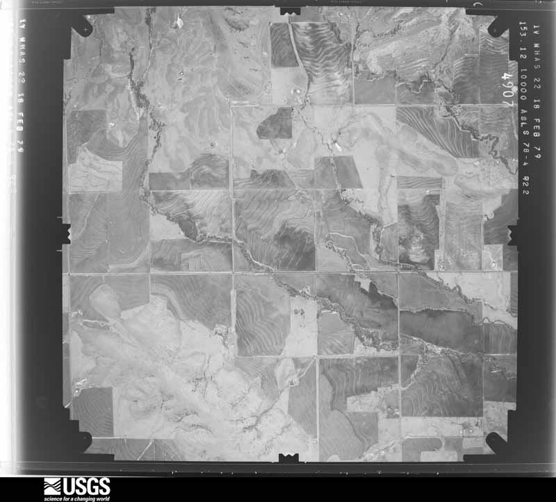
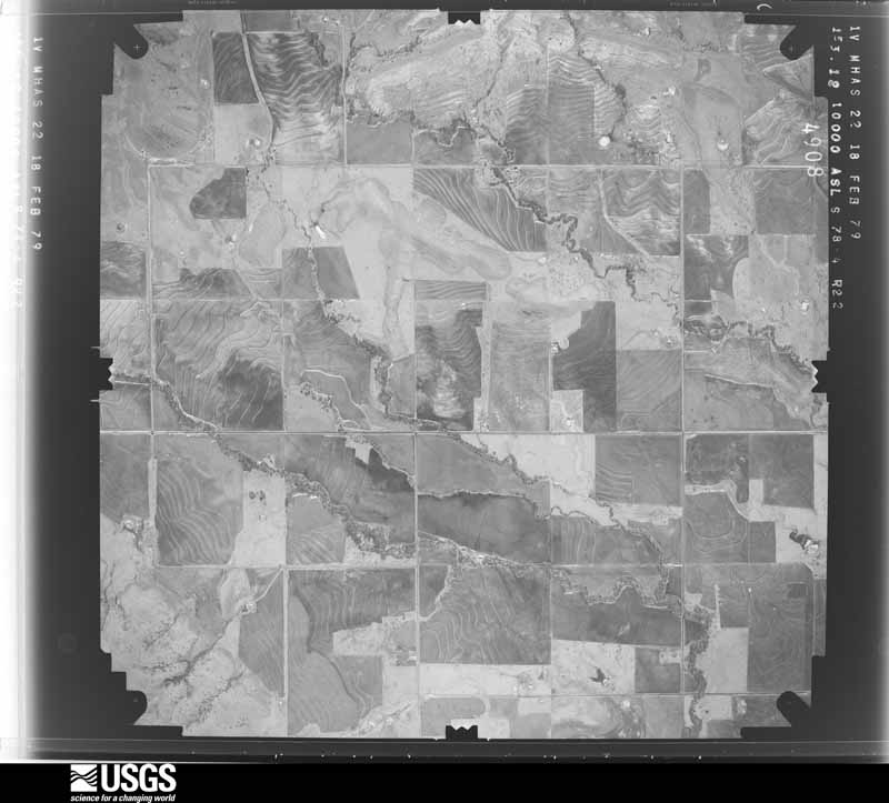
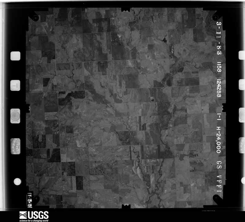
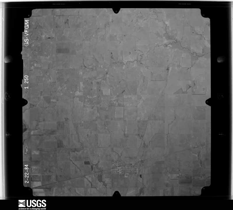
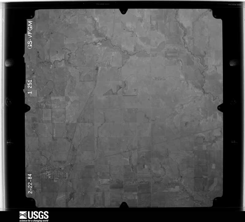
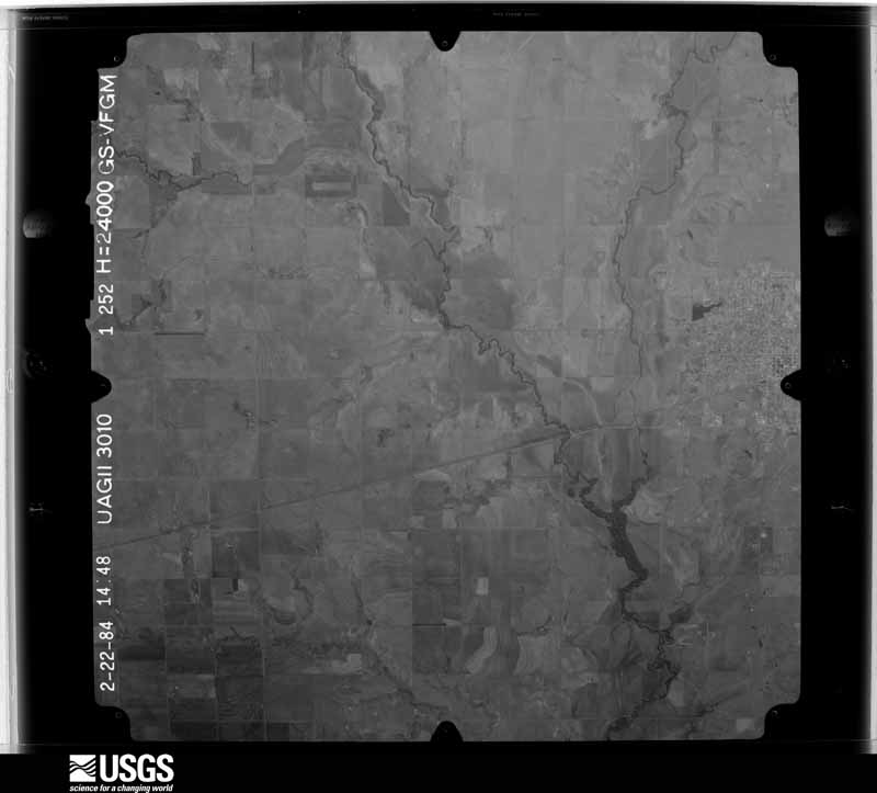
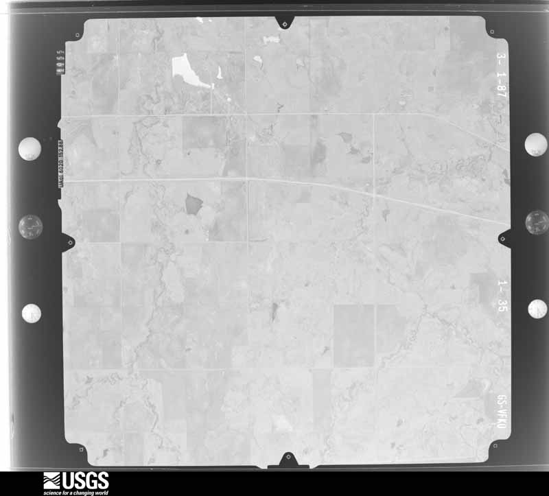
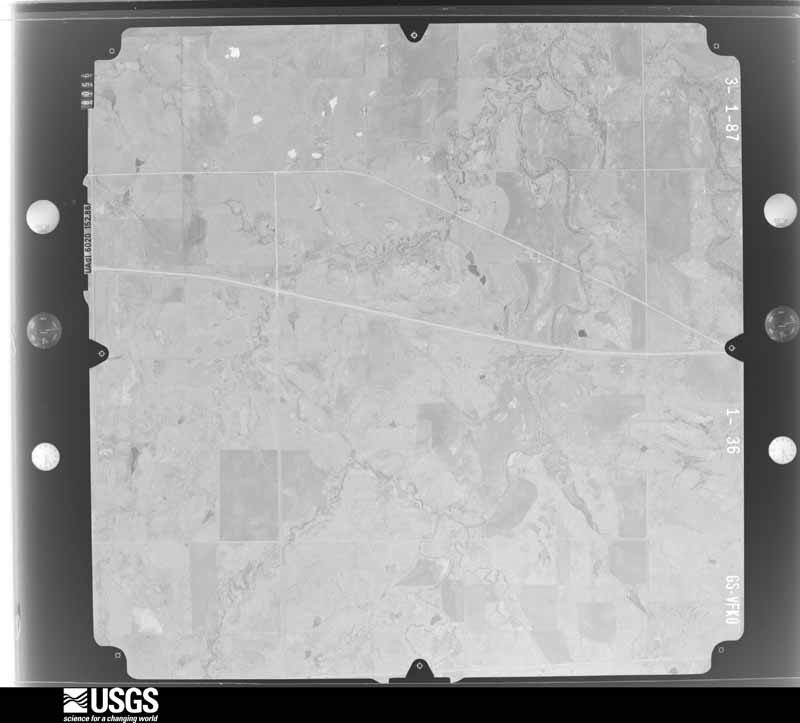
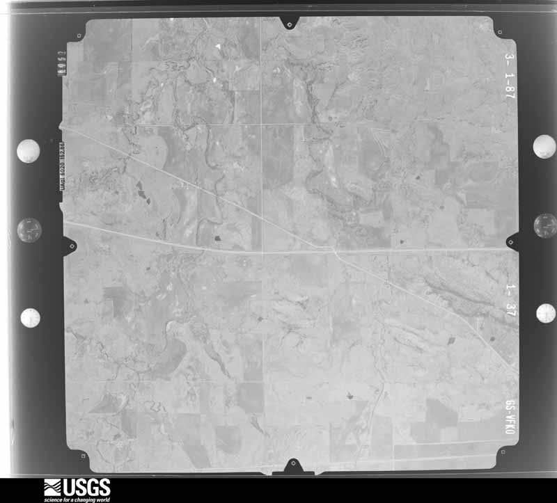
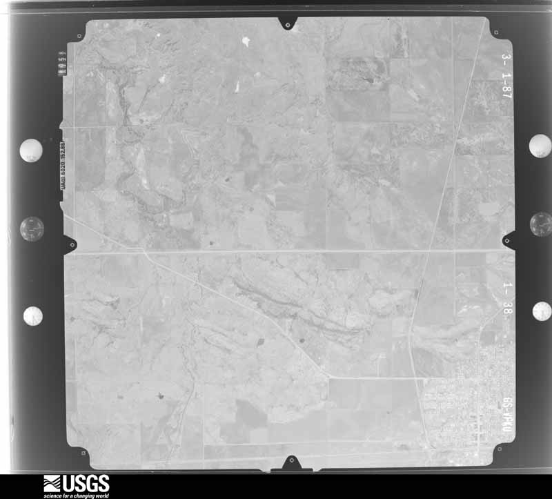
Flown by the U.S. Geological Survey between 1937 and 1989, the Aerial Photo Single Frames collection is the definitive mid-century view of the land: fields, roads and rivers as the camera saw them. The Survey holds 2,309 frames inside the rectangle that bounds this county; the 48 frames below were taken over the county itself, chosen across the decades of flights (at most four a year from that rectangle), so one flight cannot crowd out the rest. The full set is free to browse and download at EarthExplorer under the dataset Aerial Photo Single Frames.




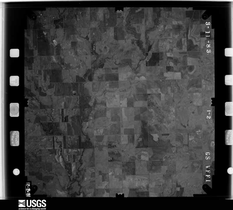
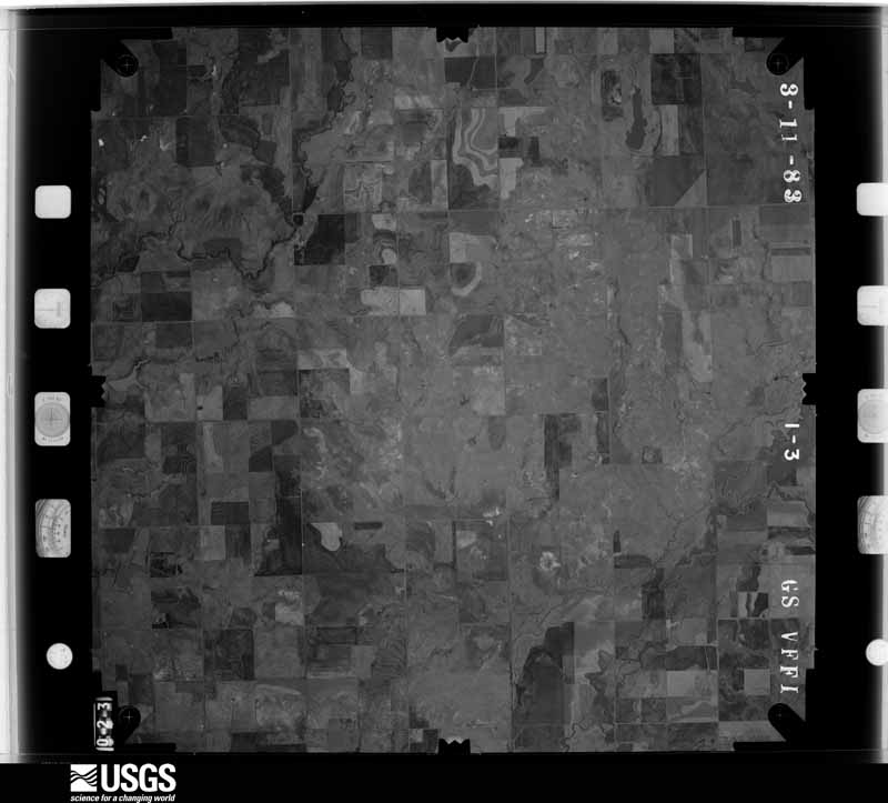
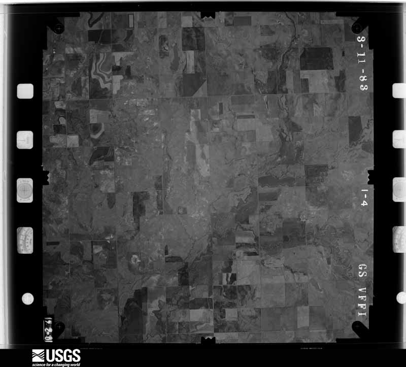
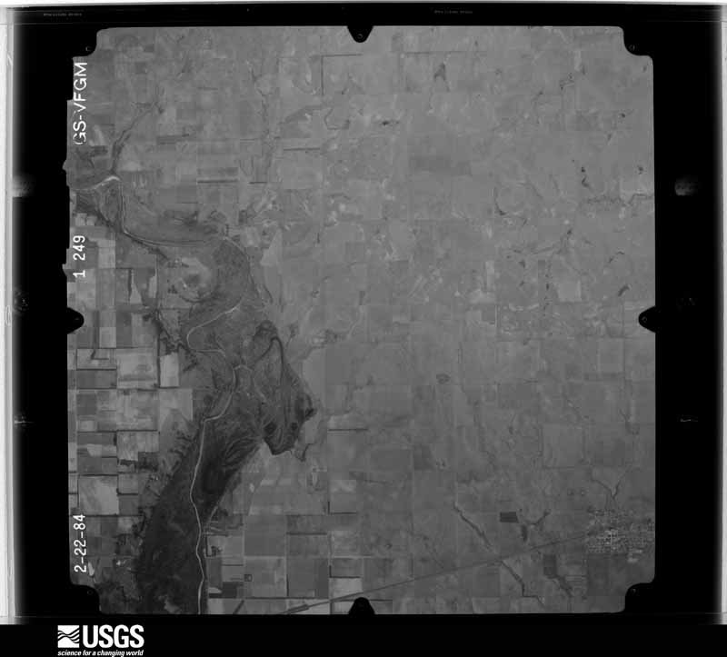
The thermometers that kept this county's weather, and the gages that measured the flow of its streams, as the federal records hold them. The extremes below are measured values from those records, not estimates.
Who lived here in 1950, one enumeration district at a time, as the Census Bureau described each district. Each row opens its official National Archives result, with Population Schedules and ED Maps available there.
Every wildfire the federal occurrence database records inside this county: 110 of them, burning about 7,578 acres. 8 started naturally and 11 were recorded as arson. Each settlement page carries the fires within five miles of it.
| Reported cause | Fires |
|---|---|
| Debris and open burning | 32 |
| Equipment and vehicle use | 25 |
| Missing data/not specified/undetermined | 23 |
| Arson/incendiarism | 11 |
| Natural | 8 |
| Fireworks | 6 |
| Power generation/transmission/distribution | 3 |
| Misuse of fire by a minor | 1 |
| Other causes | 1 |
The five largest, by the area the report gives. None of them was recorded as arson.
| Date | Cause | Size | Reported by | Name on the report |
|---|---|---|---|---|
| 23 July 2017 | Natural | 2,975 acres | Oklahoma Division of Forestry | FLAT TOP |
| 13 February 2008 | Equipment and vehicle use | 800 acres | Anadarko Agency | GRAY |
| 21 February 2004 | Equipment and vehicle use | 450 acres | Anadarko Agency | SPOT BEAR |
| 28 July 2015 | Equipment and vehicle use | 350 acres | Anadarko Agency | UNAP FIRE |
| 16 August 2019 | Equipment and vehicle use | 325 acres | Oklahoma Division of Forestry | FAIR LAWN |
| 24 August 2013 | Missing data/not specified/undetermined | 202 acres | Anadarko Agency | KIOWA-2693 |
| 23 July 2017 | Natural | 184 acres | Oklahoma Division of Forestry | COOPERTON |
| 18 September 2000 | Missing data/not specified/undetermined | 160 acres | Anadarko Agency | LONGTHORN |
Every settlement page carries the fires within five miles of it - see the settlement index below.
The NOAA Storm Events Database holds 1,072 reports for this county, causing 2 deaths, 6 injuries and about $3,539,690 in recorded property damage. Each settlement page carries the reports that name it.
| Kind of event | Reports |
|---|---|
| Hail | 621 |
| Thunderstorm Wind | 309 |
| Tornado | 95 |
| Flash Flood | 37 |
| Flood | 5 |
| Heavy Rain | 3 |
| Funnel Cloud | 1 |
| Lightning | 1 |
The most serious of them, by death, then injury, then recorded damage. The accounts are quoted exactly as the forecast office filed them.
| When | Event | Place named | Harm | What the report says |
|---|---|---|---|---|
| February 1975 | Tornado (F2) | not stated | 1 killed, 2 hurt, $250,000 | no account filed |
| April 1950 | Tornado (F3) | not stated | 1 killed, 1 hurt, $250,000 | no account filed |
| June 2002 | Thunderstorm Wind | Lugert | 1 hurt, $500 | High winds blew large trees over at Quartz Mountain State Park, about two miles south of Lugert. A man was hit by a falling tree, causing a severe concussion, a broken leg, and internal injuries. |
| August 2007 | Flash Flood | Mountain View | 1 hurt | A driver had to be rescued due to very high water approximately 1 mile south of HWY 9 on county road 2420. A 0.5 mile section of hwy 9 was also closed near this location. |
| April 1990 | Thunderstorm Wind | not stated | 1 hurt | no account filed |
| May 1986 | Tornado (F1) | not stated | $250,000 | no account filed |
| May 1986 | Tornado (F2) | not stated | $250,000 | no account filed |
| May 1982 | Tornado (F3) | not stated | $250,000 | no account filed |
| April 1950 | Tornado (F3) | not stated | $250,000 | no account filed |
| May 1999 | Thunderstorm Wind | Tom Steed Res | $200,000 | no account filed |
| June 2007 | Flash Flood | Hobart | $150,000 | Two swift-water rescues were initiated due to high water in Hobart. Two bridges were heavily damaged. Thirty homes and eight business reported some kind of flood damage. Four-hundred and fifty feet of railroad tracks along HWY 9 in Hobart were washed out. Monetary damages were estimated. |
| February 2023 | Tornado (EF1) | Lone Wolf | $100,000 | A large tornado was observed by spotters and chasers east of Lone Wolf, crossing State Highway 9 and moving northwest of Hobart. An NWS storm survey team found numerous trees and power poles damaged, and at least six barns or outbuildings damaged. |
| June 2007 | Flash Flood | Hobart | $100,000 | Widespread flooding was reported in the city of Hobart due to rapidly rising water. Several houses were evacuated due to the high water. 35-40 people in total were evacuated from their homes. Access to some of the houses could not be done without a boat. The intersection of HWY 9 and Eastern was closed with four feet of water flowing over it. Monetary damages were estimated. |
| August 1997 | Flash Flood | Hobart | $100,000 | After 8.6 inches of rain fell in less than 12 hours, portions of Hobart suffered from severe flash flooding. Seven houses and several businesses, including a carpet store, a saloon, and a radio station, were flooded. Two homes in the 700 block of South Monroe were evacuated due to rising water. Numerous roads were covered by flash flood waters, and eight to ten people had to be rescued from their vehicles by emergency personnel. |
| May 2019 | Tornado (EF2) | Hobart | $75,000 | A large tornado developed north-northeast of Hobart and moved north-northeast to just southwest of the intersection of US-183 and the Kiowa-Washita County line. One mobile home received roof damage, a number of barns and outbuildings were damaged or destroyed, and trees and power poles were damaged, including at least four wooden large transmission line poles that were snapped. As this tornado was dissipating, a second tornado was developing about one mile to the NW in Washita County. |
| October 1996 | Thunderstorm Wind | Snyder | $75,000 | no account filed |
| October 2014 | Thunderstorm Wind | Mountain Park | $60,000 | Manufactured home destroyed by intense thunderstorms winds. Time estimated from radar. |
| August 2007 | Flash Flood | Mountain View | $60,000 | A house and two vehicles were washed away by the high water from Stinking Creek. The flood water was five feet deep near the location of the house. Monetary damages were estimated. |
| October 2021 | Hail | Roosevelt | $50,000 | Significant damage reported to cars and windows of buildings due to wind-driven hail. |
| August 2007 | Tornado (EF1) | Hobart | $50,000 | A tornado touched down to the east-southeast of Hobart and moved north. The tornado destroyed a large barn, and damaged power lines, numerous trees and farm implements. Monetary damages were estimated. |
| August 2004 | Thunderstorm Wind | Mountain View | $50,000 | A barn was destroyed. A house and vehicles were also damaged. |
| March 2003 | Tornado (F1) | Hobart | $50,000 | The tornado started about four miles east-southeast of Hobart and tracked northeastward. About midway through the path, a home received F1 damage when a large part of its roof was removed and blown to the south. The house appeared to be small but was well built with brick. Two barns just east of the house were also destroyed. About 12 power poles were blown down in this area as well. In the area around the tornado, a broad area of minor wind damage occurred to small structures. |
| October 2000 | Flash Flood | Snyder | $50,000 | Numerous homes and businesses were flooded, and many people had to be evacuated due to high water. |
| July 1995 | Thunderstorm Wind | Hobart | $50,000 | no account filed |
| April 1994 | Thunderstorm Wind | Snyder | $50,000 | no account filed |
| October 2021 | Tornado (EF1) | Cooperton | $30,000 | This tornado was initially observed by storm chasers including an off-duty meteorologist from the Storm Prediction Center and was visible for a couple of minutes before becoming wrapped in rain. The rain-wrapped tornado likely continued generally east-southeast and destroyed a trailer and damaged trees at the Saddle Mountain cemetery. |
| May 2019 | Thunderstorm Wind | Cold Springs | $30,000 | Peak wind of 68 mph, barn destroyed, trees downed, siding pulled away from south side of house, lost another outbuilding, downed power lines on property. 6.5 miles north of mountain park and 2.5 miles east of us 183. |
| July 2005 | Thunderstorm Wind | Mountain Park | $30,000 | Tree limbs greater than one foot in diameter were downed. A boat was also overturned and sank in Tom Steed Lake. |
| May 1999 | Thunderstorm Wind | Tom Steed Res | $30,000 | no account filed |
| July 2024 | Thunderstorm Wind | Mountain View | $25,000 | Widespread wind damage in and around the community of Mountain View. This included significant roof damage to multiple buildings. Time is radar estimated. |
| April 1986 | Tornado (F1) | not stated | $25,000 | no account filed |
| May 1983 | Tornado (F2) | not stated | $25,000 | no account filed |
| May 1982 | Tornado (F1) | not stated | $25,000 | no account filed |
| May 1982 | Tornado (F1) | not stated | $25,000 | no account filed |
| April 1981 | Tornado (F1) | not stated | $25,000 | no account filed |
| July 1981 | Tornado (F2) | not stated | $25,000 | no account filed |
| April 1978 | Tornado (F1) | not stated | $25,000 | no account filed |
| May 1977 | Tornado (F2) | not stated | $25,000 | no account filed |
| April 1976 | Tornado (F1) | not stated | $25,000 | no account filed |
| May 1962 | Tornado (F1) | not stated | $25,000 | no account filed |
| April 1957 | Tornado (F2) | not stated | $25,000 | no account filed |
| May 1957 | Tornado (F2) | not stated | $25,000 | no account filed |
| June 1955 | Tornado (F2) | not stated | $25,000 | no account filed |
| June 2008 | Thunderstorm Wind | Lone Wolf | $20,000 | A roof was blown off a commercial building. Monetary damages were estimated. |
| June 2008 | Thunderstorm Wind | Hobart | $20,000 | Several homes, barns, and a grainery sustained minor damage. Tree limbs and power lines were also downed. The main area of damage was along Highway 183 from Hobart south. The report was relayed by the Kiowa county sheriff. |
| March 2006 | Thunderstorm Wind | Hobart | $20,000 | A semi-tractor trailer rig was blown over into a bar ditch near the intersection of Highway 183 and Highway 9. |
| September 2005 | Thunderstorm Wind | Mountain View | $20,000 | A few trees were uprooted along with large tree limbs downed. There was a partial collapse of a carport. Several roofs were damaged. |
| March 2003 | Tornado (F1) | Hobart | $20,000 | This tornado developed about five miles east of Hobart. The tornado first tracked northeastward for 1.5 miles before making a turn to the northwest for another 1.5 miles. After the tornado turned northwestward, it appeared to reach its peak intensity, which is where several small oil storage tanks were rolled or lifted and carried for a considerable distance. A few power poles were blown down as well. In the area around the tornado, a broad area of minor wind damage occurred to small structures. |
| October 1998 | Hail | Mountain Park | $20,000 | no account filed |
| June 2005 | Tornado (F1) | Mountain Park | $15,000 | This tornado was observed by numerous chasers and media personnel. The tornado caused major roof damage to one home. Another home received light roof damage. A barn was also destroyed. Trees and limbs were also reported down. One home was located 5 miles west and 1.2 miles south of Mountain Park. The second home was located 5 miles west and 1.5 miles south of Mountain Park. The destroyed barn was located 5 miles west and 1.75 miles south of Mountain Park. |
| April 2019 | Flood | Hobart | $10,000 | A few vehicles stalled as they attempted to cross an intersection that usually floods. |
| September 2007 | Thunderstorm Wind | Lugert | $10,000 | A screened in porch of a house was ripped off and blown over the house. The house was located in the Boydville Community off Northshore Road. A few cottonwood trees were downed as well. Monetary damages were estimated. |
| October 2001 | Tornado (F1) | Gotebo | $10,000 | D2. Kiowa County portion. This multiple-vortex tornado developed 1 mile north of Gotebo, resulting in mostly minor tree damage before crossing into Washita County at 1649 CST. F1 damage was observed, however, 5 miles west of Mountain View, where a wood-frame barn was heavily damage. |
| March 2000 | Thunderstorm Wind | Snyder | $10,000 | The roof of a business was blown off with debris falling on numerous vehicles in a nearby parking lot. |
| September 2007 | Thunderstorm Wind | Hobart | $8,000 | A tree was blown onto two cars at 4th and Randlett. Monetary damages were estimated. |
| September 2007 | Thunderstorm Wind | Hobart | $8,000 | A tree was blown down onto two vehicles. Monetary damages were estimated. |
| March 2021 | Thunderstorm Wind | Hobart | $5,000 | A storage facility in the south part of Hobart was damaged by thunderstorm winds, likely associated with a gustnado. Video and reports from storm chasers observed a brief area of surface rotation associated with power flashes in the vicinity of this damaged storage facility. |
| October 2021 | Tornado (EF1) | Snyder | $5,000 | A tornado developed about 6 miles east-southeast of Snyder to the south of U.S. Highway 62. It quickly became a large tornado as it moved sporadically north and northeast before crossing into Comanche County about 3 miles north of US-62. In Kiowa County, the tornado produced tree and power pole damage. |
| May 2019 | Thunderstorm Wind | Roosevelt | $5,000 | Thirty-five year old trees downed. Swing set tossed against house. From a twitter report. |
| May 2018 | Thunderstorm Wind | Gotebo | $5,000 | Highway poles downed at US 54 and 1360. |
The Survey's mineral resources record lists 138 workings inside this county. 12 still produce and 126 are closed or unrecorded. Each settlement page carries the workings within five miles of it.
| Commodity | Workings |
|---|---|
| Sand and Gravel, Construction | 62 |
| Copper | 48 |
| Granite | 13 |
| Stone, Crushed/Broken | 7 |
| Flagstone | 4 |
| Silver | 2 |
| Palladium, Platinum | 1 |
| Nickel, Copper, Silver | 1 |
| Aluminum | 1 |
| Titanium, Silica, Iron, Sodium, Calcium | 1 |
| Aluminum, Iron, Silica, Titanium, Water, Free | 1 |
| Titanium | 1 |
| Niobium (Columbium) | 1 |
The least common of them first, because a county's hundredth gravel pit says nothing its first ten did not.
| Where | Site | Commodity | Status | Recorded |
|---|---|---|---|---|
| Glen Mountains Layered Complex | Palladium, Platinum, Nickel, Copper, Silver | Occurrence | Chalcopyrite, Pentlandite, Pyrite, Pyrrhotite, Silver | |
| Kiowa County Clays | Aluminum, Iron, Silica, Titanium, Water, Free | Unknown | 1939 | |
| Otter Creek Valley Deposit | Titanium, Niobium (Columbium) | Prospect | 1952 | |
| Raggedy Mtn Gabbroic Anorthosite | Aluminum, Titanium, Silica, Iron, Sodium, Calcium | Occurrence | 1904 | |
| Brewer Prospect | Copper, Silver | Past Producer | 1904, 1905 | |
| Devils Canyon-2 | Copper, Silver | Past Producer | 1903, 1904 | |
| Unknown Sandstone Quarry | Flagstone | Past Producer | ||
| Unknown Sandstone Quarry | Flagstone | Past Producer | ||
| Unknown Sandstone Quarry | Flagstone | Past Producer | ||
| Unknown Sandstone Quarry | Flagstone | Past Producer | ||
| Cooperton Quarry & Plant | Stone, Crushed/Broken | Producer | ||
| Unknown Limestone Quarry | Stone, Crushed/Broken | Past Producer | ||
| Unknown Limestone Quarry | Stone, Crushed/Broken | Past Producer | ||
| Unknown Limestone Quarry | Stone, Crushed/Broken | Past Producer | ||
| Unknown Limestone Quarry | Stone, Crushed/Broken | Past Producer | ||
| Unknown Limestone Quarry | Stone, Crushed/Broken | Past Producer | ||
| Unknown Limestone Quarry | Stone, Crushed/Broken | Past Producer | ||
| Century Granite Co Granite Quarry | Granite | Producer | ||
| Great Plains Granite Co Quarry | Granite | Producer | ||
| Sienna Pink Granite Quarry | Granite | Producer | ||
| Snyder Quarry | Granite | Producer | ||
| Unknown Granite Quarry | Granite | Past Producer | ||
| Unknown Granite Quarry | Granite | Past Producer | ||
| Unknown Granite Quarry | Granite | Past Producer | ||
| Unknown Granite Quarry | Granite | Past Producer | ||
| Unknown Granite Quarry | Granite | Past Producer | ||
| Unknown Granite Quarry | Granite | Past Producer | ||
| Unknown Granite Quarry | Granite | Past Producer | ||
| Unknown Granite Quarry | Granite | Past Producer | ||
| Unknown Granite Quarry | Granite | Past Producer | ||
| Baby Prospect | Copper | Occurrence | 1905 | |
| Brunker Prospect | Copper | Occurrence | 1936 | |
| Cedartop Butte | Copper | Occurrence | 1852 | |
| Devils Canyon-1 | Copper | Occurrence | 1936 | |
| Devils Canyon-3 | Copper | Past Producer | 1765, 1908 | |
| Devils Canyon-4 | Copper | Past Producer | 1908 | |
| Devils Canyon-5 | Copper | Occurrence | 1913 | |
| Flat Top Mountain-1 | Copper | Occurrence | 1948 | |
| Flat Top Mountain-10 | Copper | Past Producer | 1896, 1936 | |
| Flat Top Mountain-2 | Copper | Occurrence | 1936 | |
| Flat Top Mountain-3 | Copper | Occurrence | 1936 | |
| Flat Top Mountain-4 | Copper | Past Producer | 1896 | |
| Flat Top Mountain-5 | Copper | Occurrence | 1936 | |
| Flat Top Mountain-6 | Copper | Occurrence | 1913 | |
| Flat Top Mountain-7 | Copper | Occurrence | 1936 | |
| Flat Top Mountain-8 | Copper | Occurrence | 1936 | |
| Flat Top Mountain-9 | Copper | Past Producer | 1896, 1936 | |
| Gotebo West-1 | Copper | Occurrence | 1963 | |
| Hallett Prospect | Copper | Past Producer | 1904 | |
| Iron Mountain Se-1 | Copper | Occurrence | 1936 | |
| Iron Mountain Se-2 | Copper | Past Producer | 1901, 1904 | |
| Iron Mountain Se-3 | Copper | Occurrence | 1938 | |
| Iron Mountain South | Copper | Occurrence | 1909 | |
| King Mountain-1 | Copper | Occurrence | 1948 | |
| Kiowa Copper Company Prospect | Copper | Past Producer | 1904 | |
| Last Drive Claim | Copper | Past Producer | 1901, 1902 | |
| Lugert Tunnel | Copper | Past Producer | 1902 | |
| Parsons-1 | Copper | Past Producer | 1902 | |
| Parsons-2 | Copper | Occurrence | 1936 | |
| Parsons-3 | Copper | Past Producer | 1903 | |
| Parsons-4 | Copper | Past Producer | 1903 | |
| Roosevelt South | Copper | Occurrence | 1936 | |
| Sentinel South-1 | Copper | Occurrence | 1963 | |
| Snyder Southeast-1 | Copper | Occurrence | 1852 | |
| Soldiers Peak-1 | Copper | Past Producer | 1905 | |
| Soldiers Peak-2 | Copper | Past Producer | 1905 | |
| Soldiers Peak-3 | Copper | Occurrence | 1907 | |
| Soldiers Peak-4 | Copper | Occurrence | 1907 | |
| Stewart Mountain-1 | Copper | Occurrence | 1968 | |
| Stewart Mountain-2 | Copper | Occurrence | 1941 | |
| Telephone Creek-1 | Copper | Occurrence | 1936 | |
| Telephone Creek-2 | Copper | Occurrence | 1936 | |
| Telephone Creek-3 | Copper | Occurrence | 1927 | |
| Twin Mountains-1 | Copper | Past Producer | 1908 | |
| Twin Mountains-2 | Copper | Occurrence | 1953 | |
| Wisdom Canyon | Copper | Occurrence | 1913 | |
| County Gravel Pit | Sand and Gravel, Construction | Producer | ||
| Dolese Gravel Pit | Sand and Gravel, Construction | Producer | ||
| Dolese Gravel Pit | Sand and Gravel, Construction | Producer | ||
| Dolese Gravel Pit | Sand and Gravel, Construction | Producer | ||
| Southwest Sand Co Sand Pit | Sand and Gravel, Construction | Past Producer | ||
| Southwest Sand Co Sand Pit | Sand and Gravel, Construction | Past Producer | ||
| Unknown Gravel Pit | Sand and Gravel, Construction | Past Producer | ||
| Unknown Gravel Pit | Sand and Gravel, Construction | Producer | ||
| Unknown Gravel Pit | Sand and Gravel, Construction | Past Producer | ||
| Unknown Gravel Pit | Sand and Gravel, Construction | Past Producer | ||
| Unknown Gravel Pit | Sand and Gravel, Construction | Past Producer | ||
| Unknown Gravel Pit | Sand and Gravel, Construction | Past Producer | ||
| Unknown Gravel Pit | Sand and Gravel, Construction | Past Producer | ||
| Unknown Gravel Pit | Sand and Gravel, Construction | Past Producer | ||
| Unknown Gravel Pit | Sand and Gravel, Construction | Past Producer | ||
| Unknown Gravel Pit | Sand and Gravel, Construction | Past Producer | ||
| Unknown Gravel Pit | Sand and Gravel, Construction | Past Producer | ||
| Unknown Gravel Pit | Sand and Gravel, Construction | Past Producer | ||
| Unknown Gravel Pit | Sand and Gravel, Construction | Past Producer | ||
| Unknown Gravel Pit | Sand and Gravel, Construction | Past Producer | ||
| Unknown Gravel Pit | Sand and Gravel, Construction | Past Producer | ||
| Unknown Gravel Pit | Sand and Gravel, Construction | Past Producer | ||
| Unknown Gravel Pit | Sand and Gravel, Construction | Past Producer | ||
| Unknown Gravel Pit | Sand and Gravel, Construction | Past Producer | ||
| Unknown Gravel Pit | Sand and Gravel, Construction | Past Producer | ||
| Unknown Gravel Pit | Sand and Gravel, Construction | Past Producer | ||
| Unknown Gravel Pit | Sand and Gravel, Construction | Past Producer | ||
| Unknown Gravel Pit | Sand and Gravel, Construction | Past Producer | ||
| Unknown Gravel Pit | Sand and Gravel, Construction | Past Producer | ||
| Unknown Gravel Pit | Sand and Gravel, Construction | Past Producer | ||
| Unknown Gravel Pit | Sand and Gravel, Construction | Past Producer | ||
| Unknown Gravel Pit | Sand and Gravel, Construction | Past Producer | ||
| Unknown Gravel Pit | Sand and Gravel, Construction | Past Producer | ||
| Unknown Gravel Pit | Sand and Gravel, Construction | Past Producer | ||
| Unknown Gravel Pit | Sand and Gravel, Construction | Past Producer | ||
| Unknown Gravel Pit | Sand and Gravel, Construction | Producer | ||
| Unknown Gravel Pit | Sand and Gravel, Construction | Past Producer | ||
| Unknown Gravel Pit | Sand and Gravel, Construction | Past Producer | ||
| Unknown Gravel Pit | Sand and Gravel, Construction | Past Producer | ||
| Unknown Gravel Pit | Sand and Gravel, Construction | Past Producer | ||
| Unknown Gravel Pit | Sand and Gravel, Construction | Past Producer | ||
| Unknown Gravel Pit | Sand and Gravel, Construction | Past Producer | ||
| Unknown Gravel Pit | Sand and Gravel, Construction | Past Producer | ||
| Unknown Gravel Pit | Sand and Gravel, Construction | Past Producer | ||
| Unknown Gravel Pit | Sand and Gravel, Construction | Past Producer | ||
| Unknown Gravel Pit | Sand and Gravel, Construction | Past Producer | ||
| Unknown Gravel Pit | Sand and Gravel, Construction | Past Producer | ||
| Unknown Gravel Pit | Sand and Gravel, Construction | Past Producer | ||
| Unknown Gravel Pit | Sand and Gravel, Construction | Past Producer | ||
| Unknown Gravel Pit | Sand and Gravel, Construction | Past Producer | ||
| Unknown Gravel Pit | Sand and Gravel, Construction | Past Producer | ||
| Unknown Gravel Pit | Sand and Gravel, Construction | Producer | ||
| Unknown Gravel Pit | Sand and Gravel, Construction | Past Producer | ||
| Unknown Gravel Pit | Sand and Gravel, Construction | Past Producer | ||
| Unknown Gravel Pit | Sand and Gravel, Construction | Past Producer | ||
| Unknown Gravel Pit | Sand and Gravel, Construction | Past Producer | ||
| Unknown Gravel Pit | Sand and Gravel, Construction | Past Producer | ||
| Unknown Gravel Pit | Sand and Gravel, Construction | Past Producer | ||
| Unknown Gravel Pit | Sand and Gravel, Construction | Past Producer | ||
| Unknown Gravel Pit | Sand and Gravel, Construction | Past Producer | ||
| Unknown Sand Pit | Sand and Gravel, Construction | Past Producer | ||
| Unknown Sand Pit | Sand and Gravel, Construction | Past Producer |
Named settlements recorded in the Geographic Names Information System, each with the topographic sheets covering it. Villages, hamlets and abandoned places alike. Each is shown with the nearest named watercourse or landform and the survey quadrangle it falls on. The 6 places that were also surveyed for fire insurance come first, with the number of atlases and photographs held for them.
Mountain View census division · 73041 · Gotebo East quadrangle
9 sheets, 1955 to 1986
Fire insurance: 3 atlases
Hobart census division · 73651 · Hobart quadrangle
9 sheets, 1955 to 1985
Fire insurance: 6 atlases
Lone Wolf census division · 73655 · Lone Wolf quadrangle
9 sheets, 1955 to 1985
Fire insurance: 3 atlases
Snyder census division · 73559 · Snyder quadrangle
12 sheets, 1950 to 1991
Fire insurance: 2 atlases
Mountain View census division · 73062 · On Rainy Mountain Creek · Stinking Creek quadrangle
8 sheets, 1955 to 1986
Fire insurance: 5 atlases
Snyder census division · 73566 · Snyder quadrangle
12 sheets, 1950 to 1991
Fire insurance: 4 atlases
Snyder census division · 73559 · Near Dempsey Peak · Long Mountain quadrangle
9 sheets, 1955 to 1985
Snyder census division · 73566 · On East Otter Creek · Long Mountain quadrangle
9 sheets, 1955 to 1985
Lone Wolf census division · 73655 · Near Hicks Mountain · Lake Altus quadrangle
8 sheets, 1955 to 1985
9 topographic sheets and 6 fire insurance atlases, 1904 to 1948
8 topographic sheets and 5 fire insurance atlases, 1904 to 1938
12 topographic sheets and 4 fire insurance atlases, 1914 to 1930
9 topographic sheets and 3 fire insurance atlases, 1916 to 1926
9 topographic sheets and 3 fire insurance atlases, 1912 to 1931
12 topographic sheets and 2 fire insurance atlases, 1918