 Block
From the record
4 National Register listings published here.
Sources: the National Register database, National Park Service
75 topographic sheets and 7 fire insurance atlases across 1 place.
4 National Register listings published here.
Sources: the National Register database, National Park Service
Every property in this county listed on the National Register of Historic Places, with the year it was listed and the federal nomination document.
| Photograph | Property | Type | Listed | Reference |
|---|---|---|---|---|
 | Love County Courthouse | building | 1984 | 84003148 |
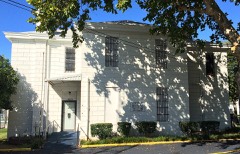 | Love County Jail and Sheriff's Residence | building | 2007 | 07000916 |
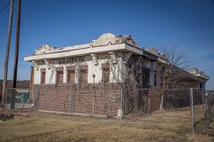 | Santa Fe Depot | building | 2007 | 07000913 |
| Bill Washington Ranchhouse | building | 1971 | 71000667 |
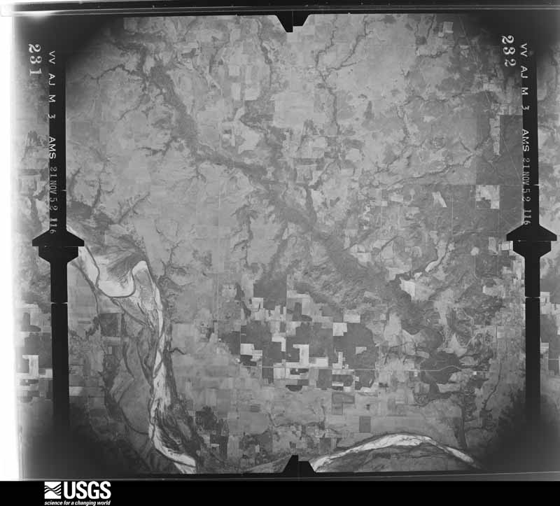
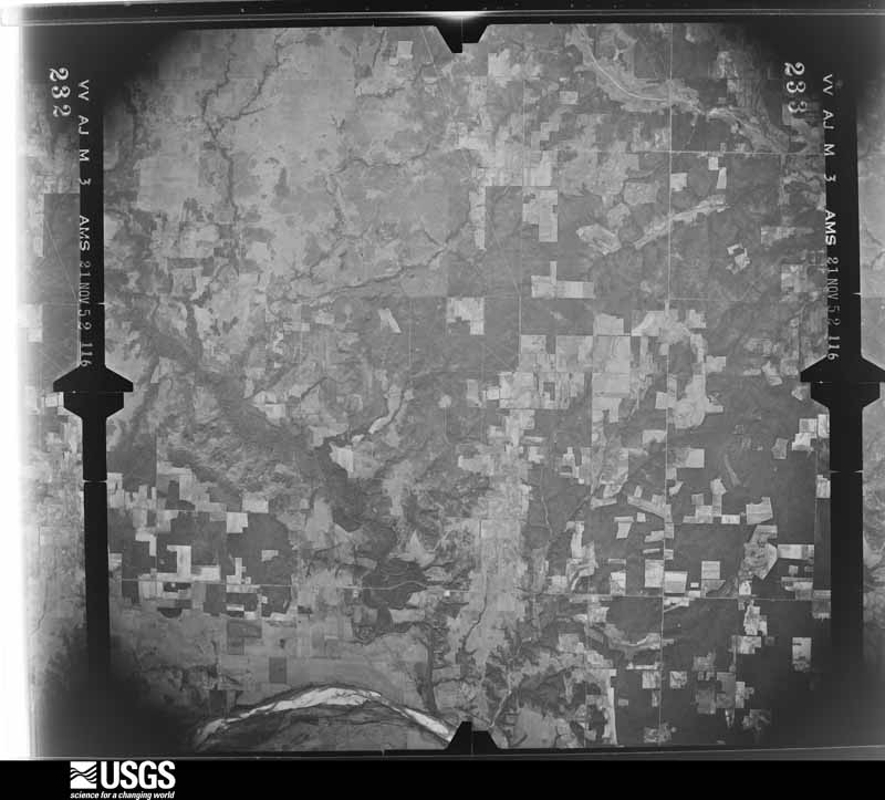
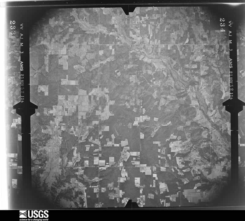
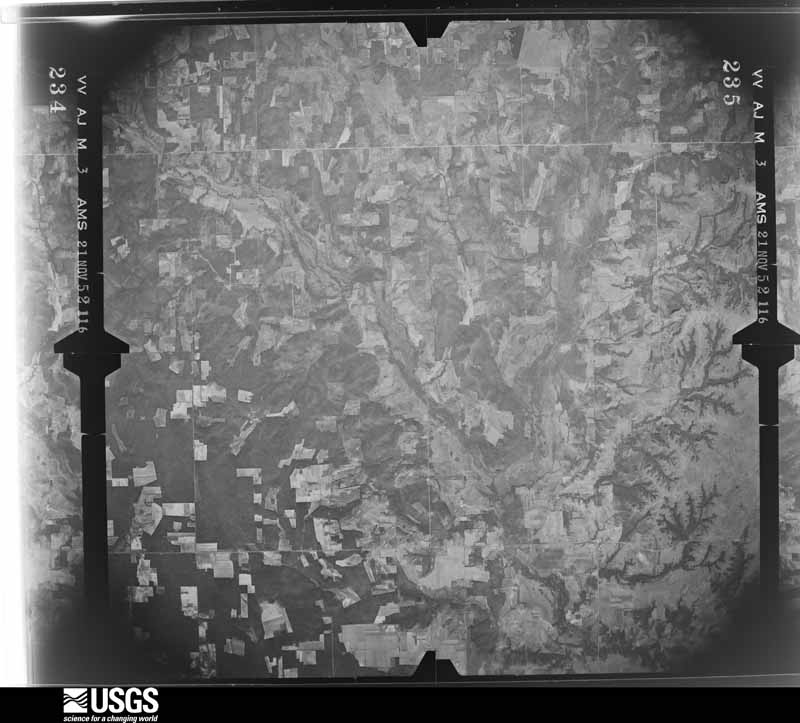
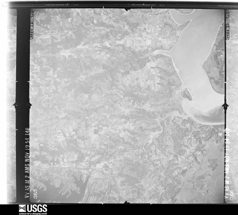
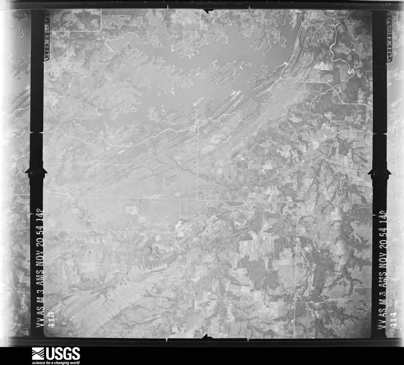
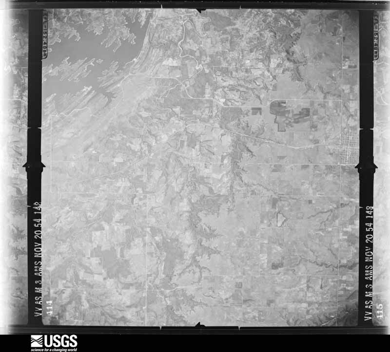
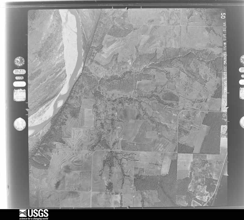
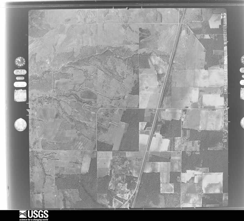
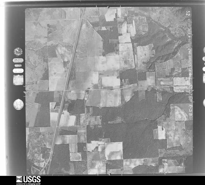
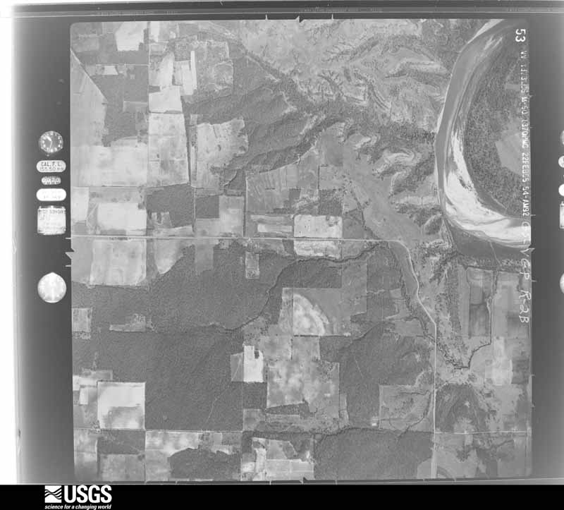
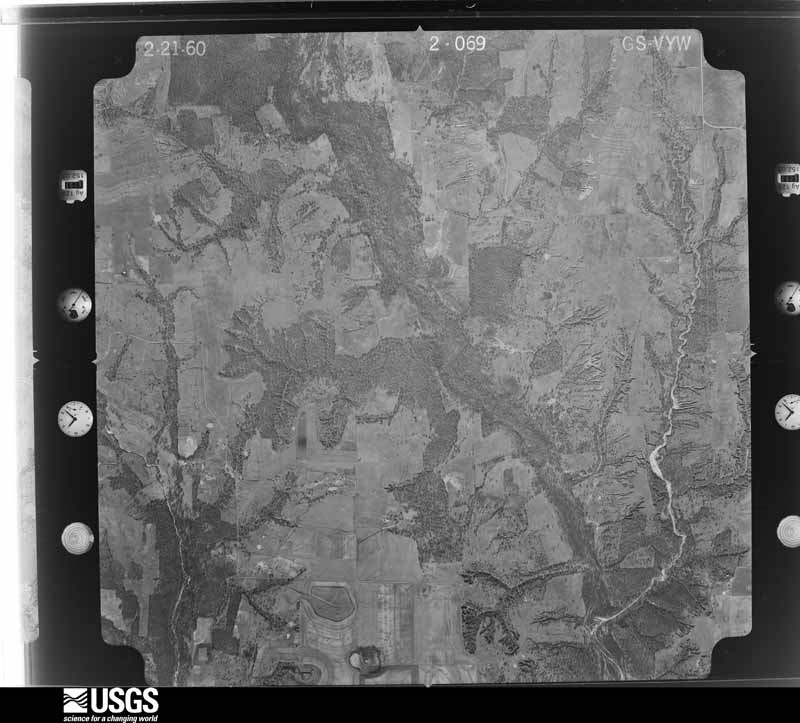
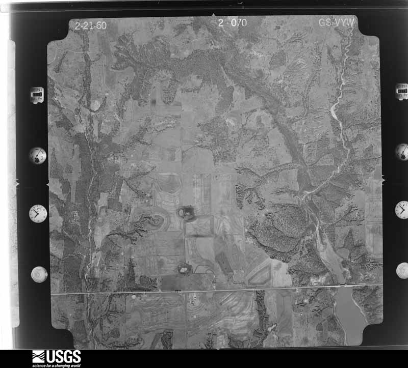
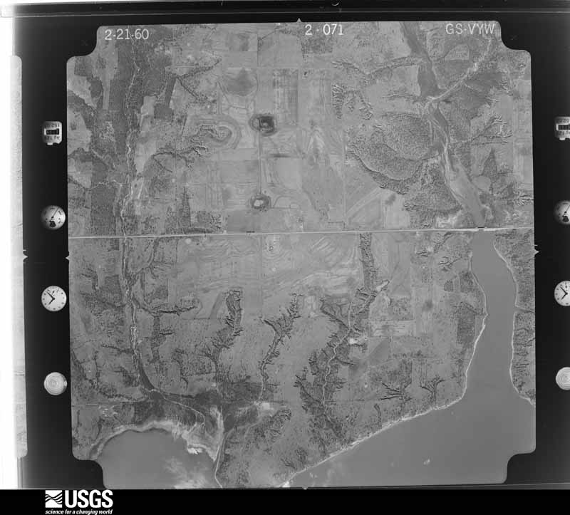
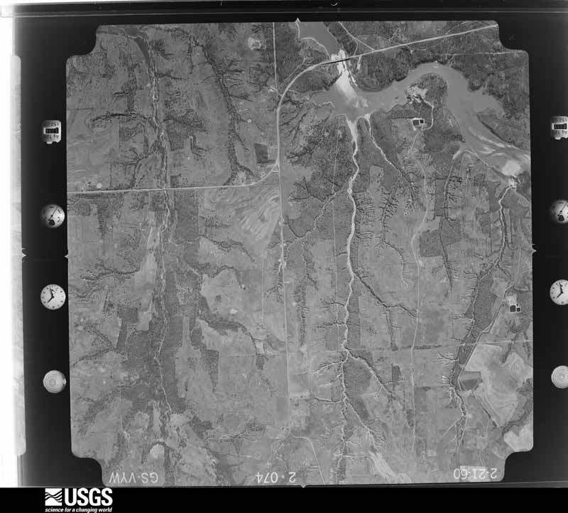
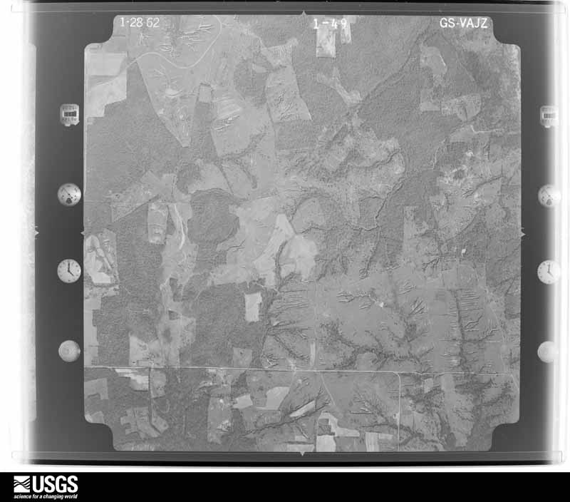
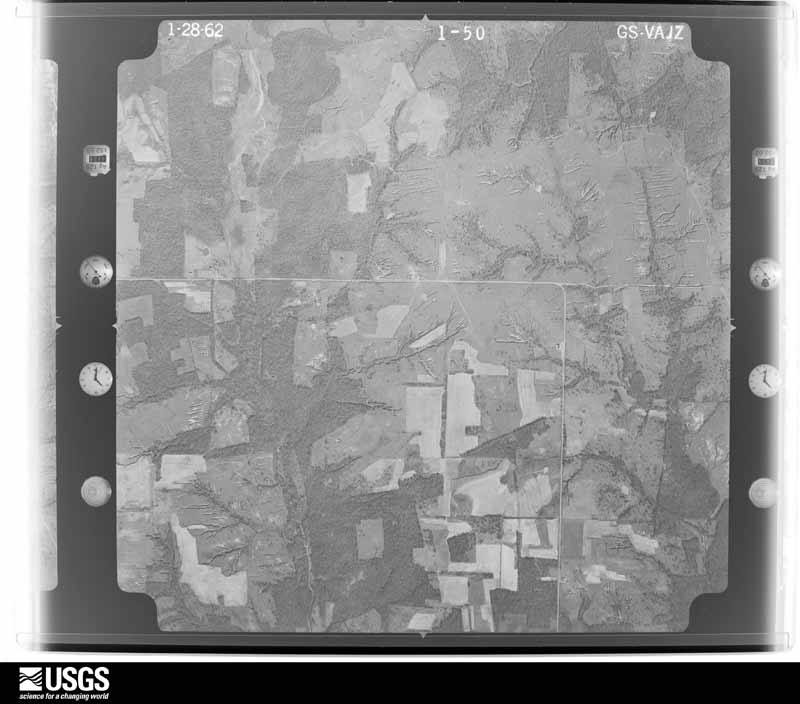
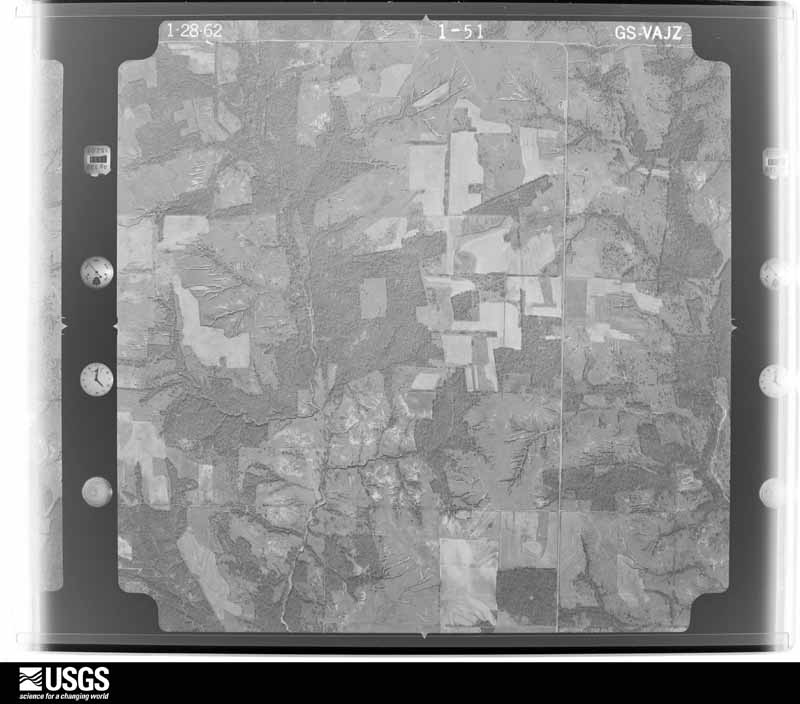
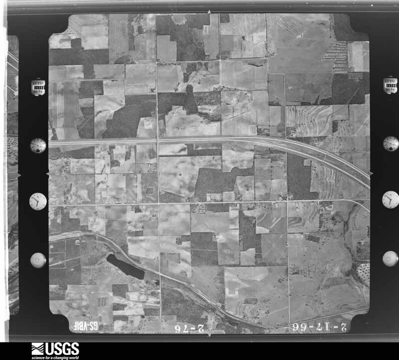
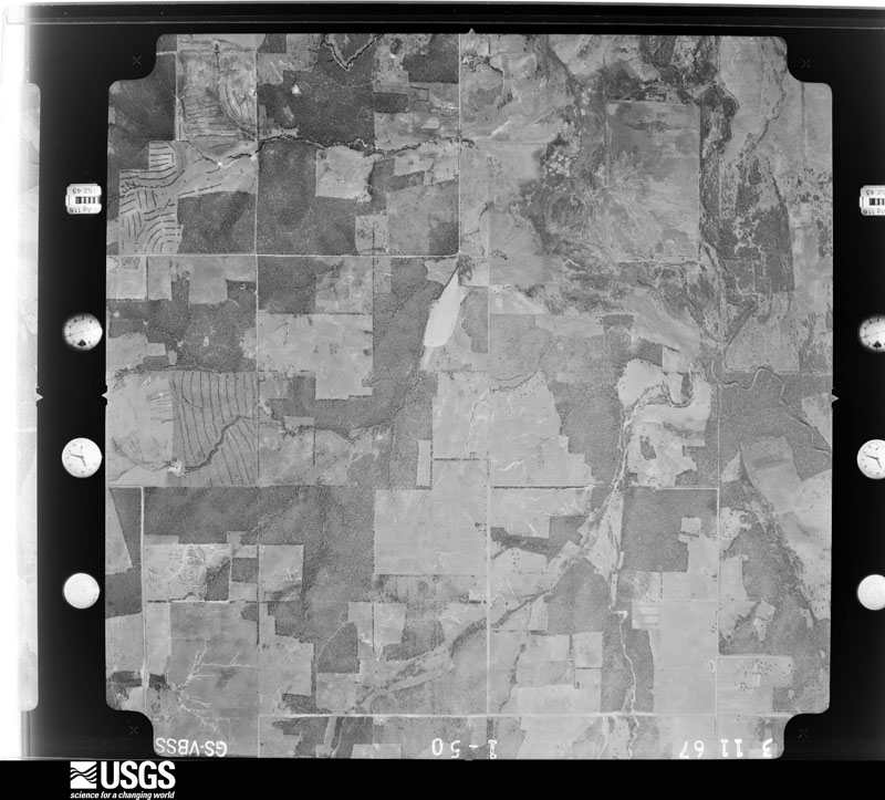
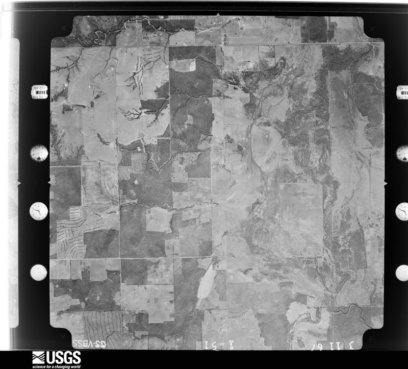
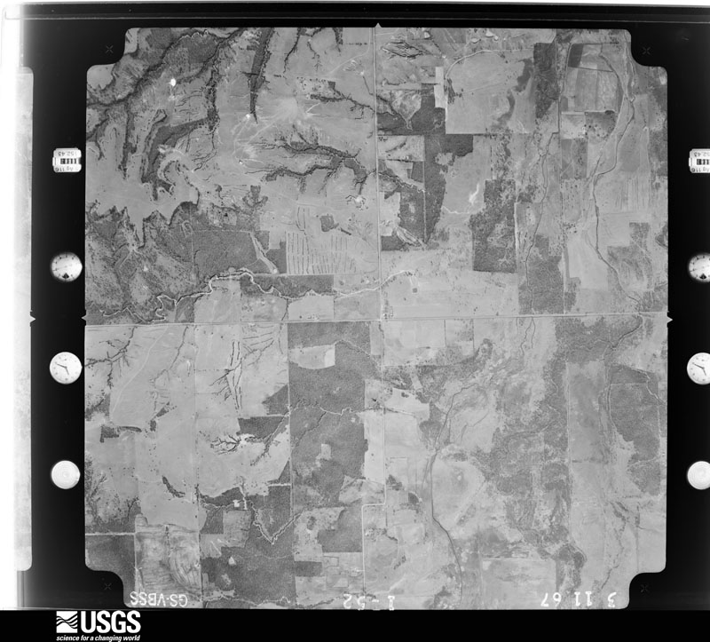
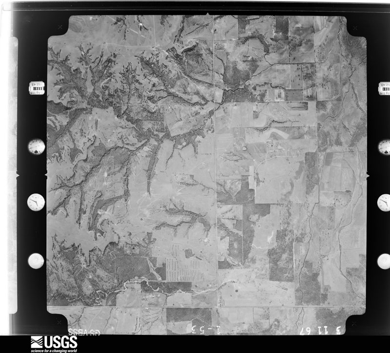
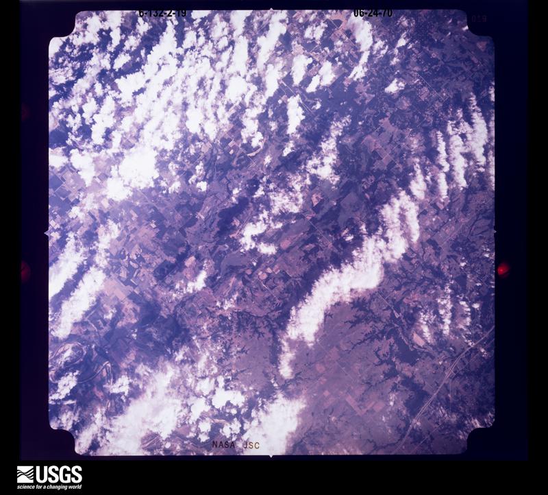
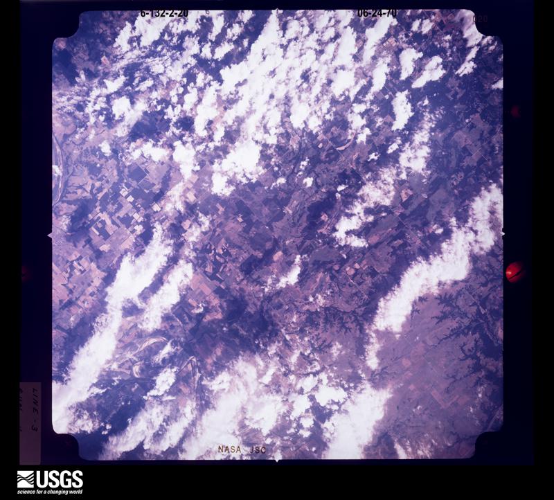
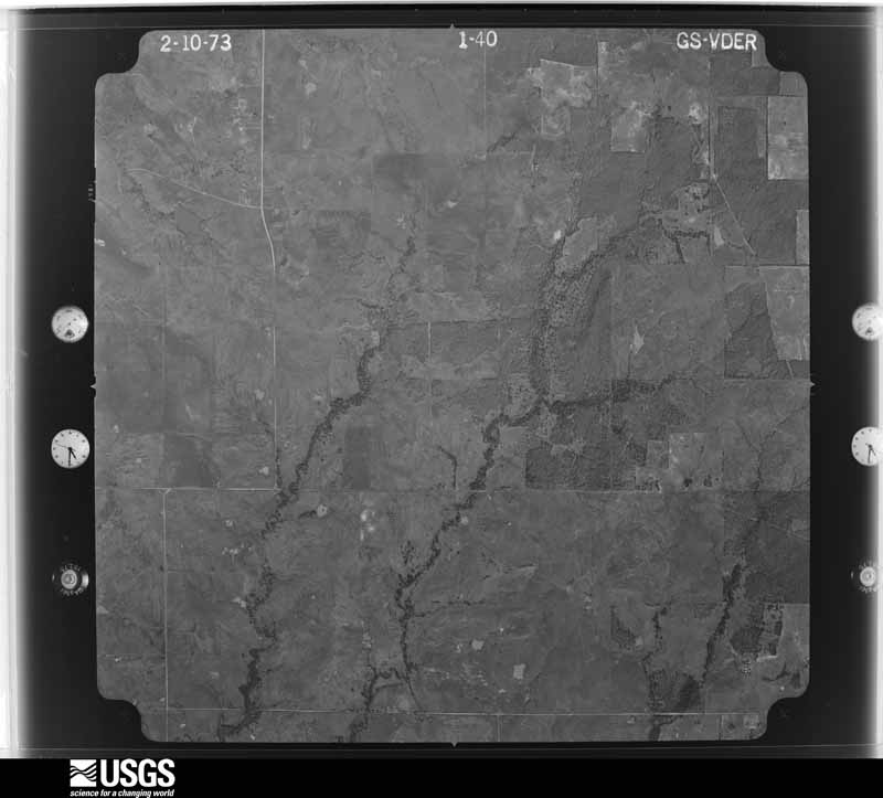
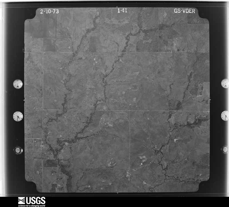
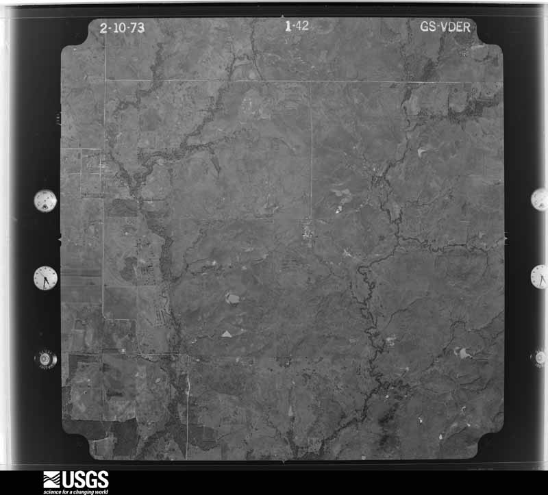
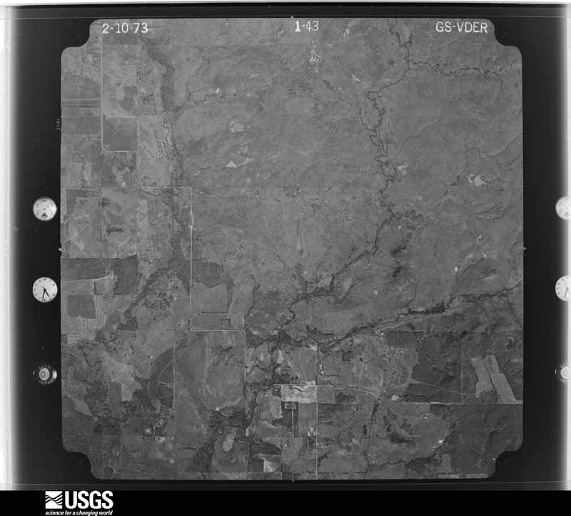
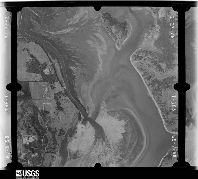
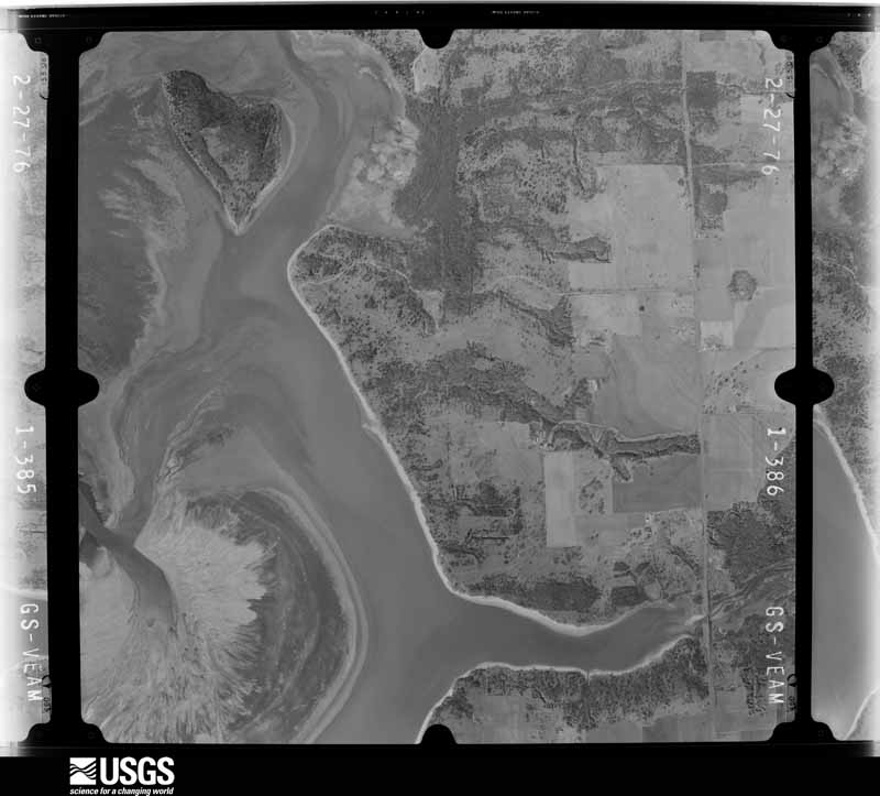
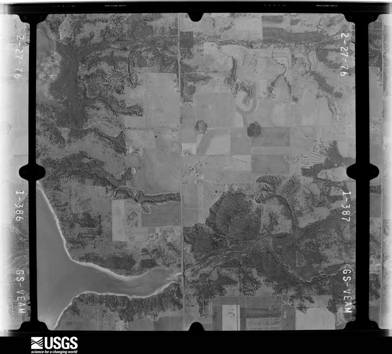
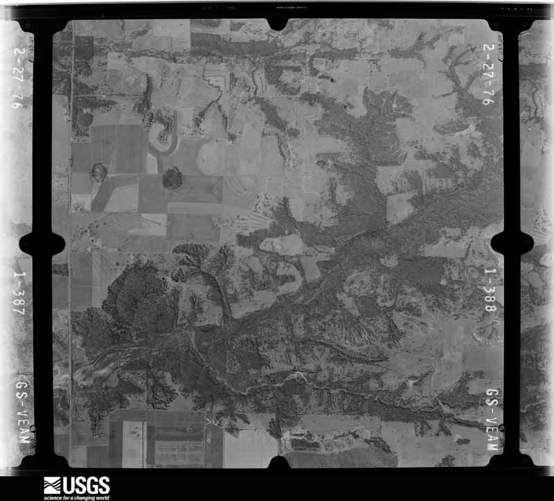
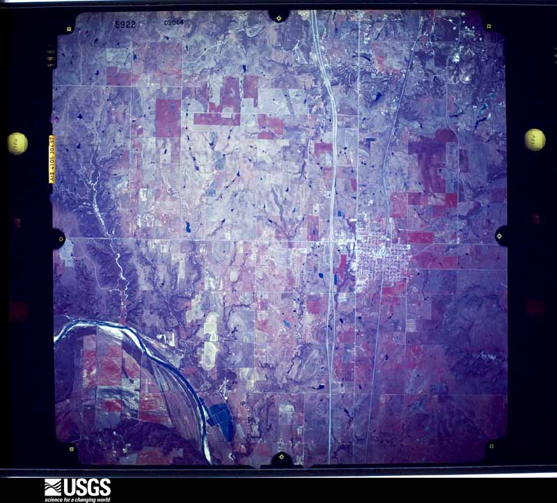
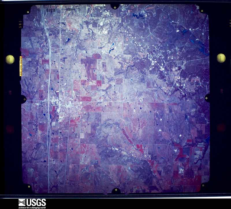
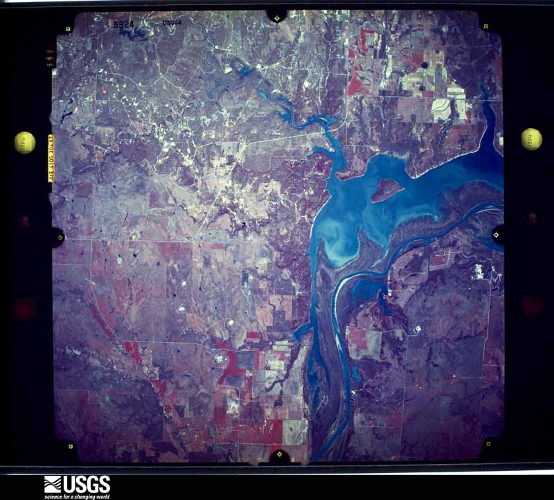
Flown by the U.S. Geological Survey between 1937 and 1989, the Aerial Photo Single Frames collection is the definitive mid-century view of the land: fields, roads and rivers as the camera saw them. The Survey holds 914 frames inside the rectangle that bounds this county; the 44 frames below were taken over the county itself, chosen across the decades of flights (at most four a year from that rectangle), so one flight cannot crowd out the rest. The full set is free to browse and download at EarthExplorer under the dataset Aerial Photo Single Frames.

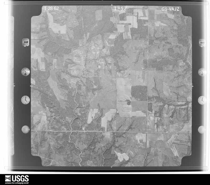
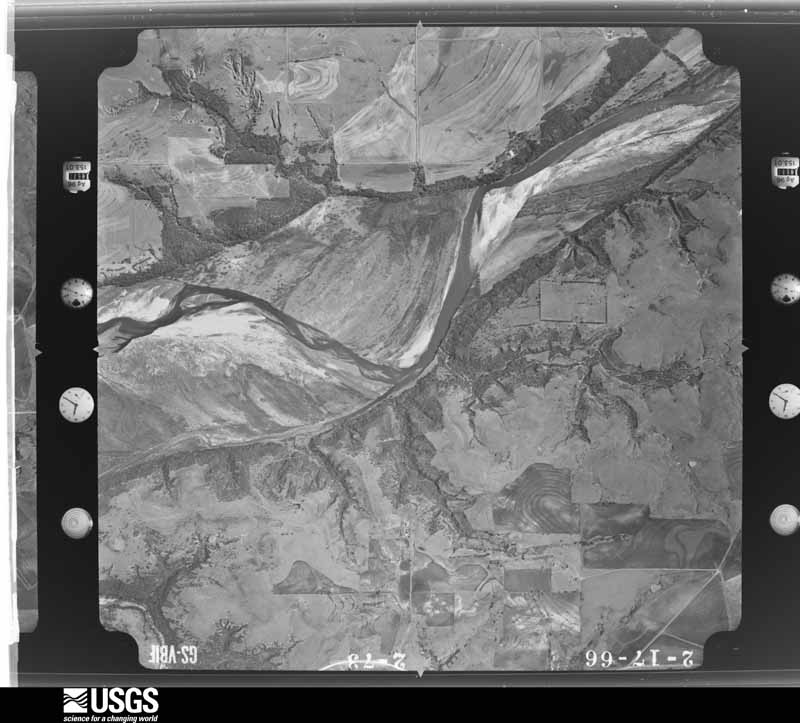
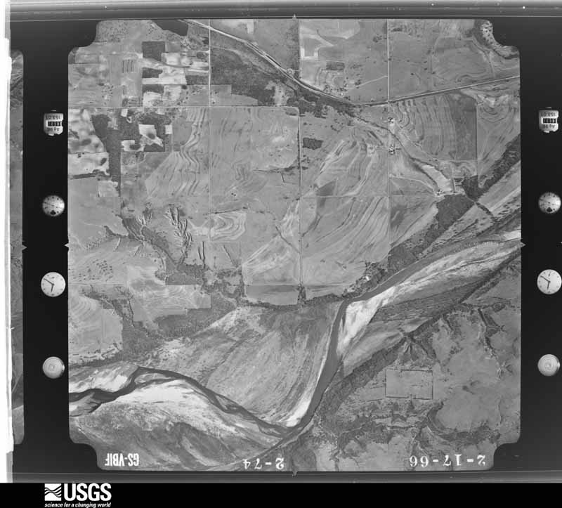
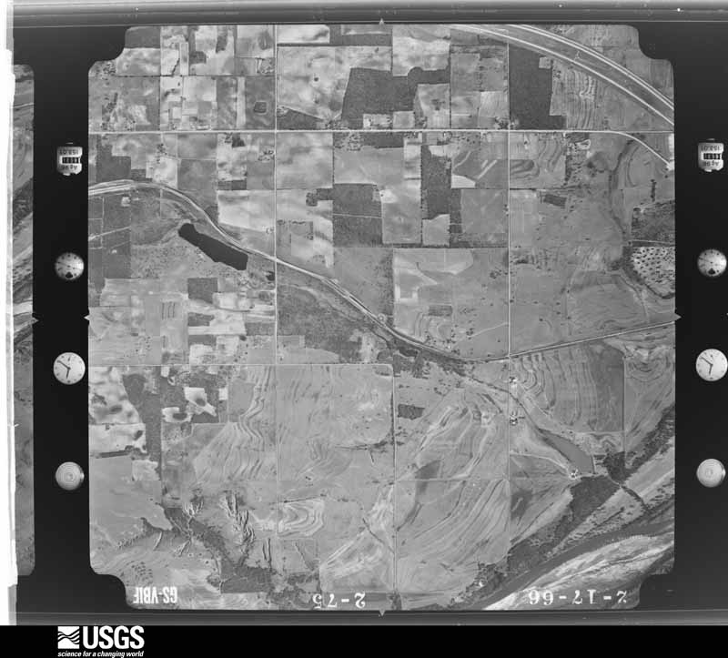



The thermometers that kept this county's weather, and the gages that measured the flow of its streams, as the federal records hold them. The extremes below are measured values from those records, not estimates.
Who lived here in 1950, one enumeration district at a time, as the Census Bureau described each district. Each row opens its official National Archives result, with Population Schedules and ED Maps available there.
Every wildfire the federal occurrence database records inside this county: 73 of them, burning about 22,412 acres. 1 started naturally and 18 were recorded as arson. Each settlement page carries the fires within five miles of it.
| Reported cause | Fires |
|---|---|
| Missing data/not specified/undetermined | 29 |
| Arson/incendiarism | 18 |
| Debris and open burning | 10 |
| Equipment and vehicle use | 9 |
| Power generation/transmission/distribution | 5 |
| Natural | 1 |
| Misuse of fire by a minor | 1 |
The five largest, by the area the report gives. Three of them were set deliberately.
| Date | Cause | Size | Reported by | Name on the report |
|---|---|---|---|---|
| 9 April 2009 | Debris and open burning | 8,000 acres | Chickasaw Agency | BRUSHY MOUNTAIN FIRE |
| 23 February 1996 | Arson/incendiarism | 3,119 acres | Chickasaw Agency | SPRINGER |
| 3 March 2013 | Missing data/not specified/undetermined | 3,000 acres | Oklahoma Division of Forestry | ROCKY POINT |
| 23 February 1996 | Arson/incendiarism | 2,584 acres | Chickasaw Agency | LAKEMURRAY |
| 26 February 2009 | Missing data/not specified/undetermined | 1,940 acres | Oklahoma Division of Forestry | PIKE FIRE |
| 24 November 2008 | Missing data/not specified/undetermined | 778 acres | Chickasaw Agency | LONG HOLLOW |
| 22 January 2018 | Missing data/not specified/undetermined | 600 acres | Oklahoma Division of Forestry | TABLER |
| 11 March 2008 | Arson/incendiarism | 461 acres | Chickasaw Agency | OSWALT/EASTMAN ROAD |
Every settlement page carries the fires within five miles of it - see the settlement index below.
The NOAA Storm Events Database holds 455 reports for this county, causing 3 deaths, 32 injuries and about $156,999,880 in recorded property damage. Each settlement page carries the reports that name it.
| Kind of event | Reports |
|---|---|
| Hail | 265 |
| Thunderstorm Wind | 142 |
| Tornado | 35 |
| Flash Flood | 9 |
| Lightning | 3 |
| Flood | 1 |
The most serious of them, by death, then injury, then recorded damage. The accounts are quoted exactly as the forecast office filed them.
| When | Event | Place named | Harm | What the report says |
|---|---|---|---|---|
| March 1953 | Tornado (F3) | not stated | 2 killed, 11 hurt, $25,000 | no account filed |
| April 2024 | Tornado (EF4) | Marietta | 1 killed, 6 hurt, $150,000,000 | The Marietta-Lake Murray-Dickson tornado first produced damage near Peanut Road south of Indian Trails Road about two miles southwest of downtown Marietta. Trees and power poles were damaged near the beginning of the path and a house received some shingle damage. EF2 damage was observed as the tornado moved north-northeast and crossed Indian Trails Road where a home was unroofed and many trees were snapped.||As the tornado turned more northeast, it struck a Dollar Tree Distribution Center just west of Interstate 35 on the west side of Marietta causing significant roof and exterior wall damage to the facility. The company reported that the building and the inventory were not salvageable. A fatality occurred as the tornado crossed Interstate 35 just northeast of the distribution center and south of State Highway 32 as a southbound semi truck was overturned by the tornado. The driver was injured and the passenger was killed. ||Just east of Interstate 35 along State Highway 32, the tornado destroyed a Dollar General store and a Homeland Grocery Store. NWS surveyors in coordination with a wind engineer rated the destruction of these two buildings as EF4. In this area, the tornado also caused significant damage to a truck stop, hospital and nursing home. The tornado continued north-northeast through the northwestern sections of Marietta continuing to produce tree, roof and power pole damage although damage intensity was not as strong as near State Highway 32.||After moving out of Marietta, the tornado turned northeast again snapping numerous trees and damaging a barn as it approached Lake Murray. The tornado crossed the southeastern portion of Lake Murray near the dam. It severely damaged a mobile home, destroyed a barn and snapped more trees after crossing the lake. The tornado then moved into Carter County near Scott Road. |
| August 2018 | Thunderstorm Wind | Thackerville | 14 hurt, $3,000 | Damage reported at the Winstar casino. Winds blew over a metal awning resulting in 14 hospitalizations. |
| October 1991 | Thunderstorm Wind | not stated | 1 hurt | no account filed |
| April 1985 | Tornado (F2) | not stated | $2,500,000 | no account filed |
| April 1982 | Tornado (F3) | not stated | $2,500,000 | no account filed |
| April 2025 | Tornado (EF2) | Rubottom | $300,000 | This tornado developed in far southwestern Love County about one mile north of the Red River and 1 mile east of the Jefferson County line. This slow-moving tornado initially moved northwest and then east. A house suffered significant roof and exterior wall damage and a church suffered roof damage. Trees and power lines were also damaged. |
| March 2026 | Thunderstorm Wind | Marietta | $250,000 | A swath of intense damaging winds, associated with a quasi-linear convective system (QLCS) mesovortex, impacted areas from southwest to just north of Marietta. Numerous power poles and trees were damaged along Shady Dale and McGehee Roads southwest of town. Several tractor-trailers were blown over along Interstate 35. The most significant damage occurred near the corner of West Creek Street and South 7th Avenue, where a home lost a significant portion of its roof, causing two exterior walls to collapse. Several businesses near Oklahoma Highway 32 and U.S. Highway 77 had varying degrees of roof damage. Intermittent damage to trees and power poles was also noted in Marietta. The wind path and event time are estimated. |
| May 2024 | Lightning | Marietta | $250,000 | House fire due to a suspected lightning strike. Structure was expected to be a total loss. Event time is approximate. |
| April 1976 | Tornado (F2) | not stated | $250,000 | no account filed |
| May 2003 | Tornado (F2) | Overbrook | $150,000 | This is the second Oklahoma tornado of three that was produced by a supercell that moved across south central Oklahoma. This strong F2 tornado moved southeast and then turned more easterly before dissipating within Lake Murray State Park. A double-wide mobile home was destroyed by the tornado. A brick home lost two of its walls and the roof was removed. Four other homes were also heavily damaged with roofs removed and walls damaged. Two barns were also damaged. The tornado crossed Interstate 35 near mile marker 21. A tractor trailer was blown off the interstate just south of this location. The state park sustained some tree damage on the southwest side of Lake Murray. |
| May 2019 | Thunderstorm Wind | Leon | $100,000 | A large area of wind damage was observed across southern Love County from near the Red River south of Leon northeast and east toward Burneyville. Damage was primarily to trees, but one home suffered some roof damage and some power poles were damaged. The swath of damaging wind was up to 1.5 miles near and south of Burneyville. Some tree trunks were snapped about 4 miles east of Leon and also just southwest of Burneyville. An EF1 tornado was also embedded within this area of damaging winds (see separate Storm Data entry). |
| October 2018 | Tornado (EF1) | Marietta | $60,000 | A tornado moved southwest to northeast across Marietta producing tree damage, and creating significant roof damage to at least a couple of homes. |
| April 2025 | Thunderstorm Wind | Marietta | $50,000 | Relayed images showing multiple large trees, tree limbs and at least one power pole blown down in the community of Marietta. Event time is estimated from radar observations. |
| April 2025 | Thunderstorm Wind | Marietta | $50,000 | Thunderstorm winds blew over a semi-trailer along Interstate 35 near mile marker 18. Event time is estimated from radar observations. |
| May 2019 | Tornado (EF1) | Leon | $50,000 | A tornado moved northeast in Love County embedded within a larger area of damaging winds. Although most of the damage was to trees, one mobile home was blown off of it's foundation and destroyed about 3.5 miles east-southeast of Leon. |
| March 2006 | Thunderstorm Wind | Thackerville | $50,000 | A barn was destroyed along with several trees downed. A metal garage was blown down onto a vehicle. |
| November 1998 | Thunderstorm Wind | Marietta | $50,000 | no account filed |
| November 2024 | Thunderstorm Wind | Marietta | $25,000 | A box truck was overturned due to thunderstorm winds. Event time is radar-estimated. |
| November 1996 | Thunderstorm Wind | Burneyville | $25,000 | no account filed |
| April 1976 | Tornado (F2) | not stated | $25,000 | no account filed |
| June 1973 | Tornado (F1) | not stated | $25,000 | no account filed |
| December 1971 | Tornado (F2) | not stated | $25,000 | no account filed |
| June 2023 | Thunderstorm Wind | Marietta | $20,000 | Tree and power line damage occurred throughout the town of Marietta. Damage to billboards along Interstate 35 also reported. |
| March 2022 | Tornado (EF0) | Rubottom | $20,000 | A tornado developed just south of State Highway 32 between Courtney and Rubottom and moved northeast. Tree limb damage was noted along SH-32. A house and outbuilding received roof damage and power poles were damaged near the intersection of Kennedy Road and Rubottom Road about 3 miles north of Rubottom. Spotters and chasers later observed the tornado approaching State Highway 76 and Oswalt Road before it dissipated.||This storm also produced a number of tornadoes in north Texas prior to moving into Oklahoma (see Storm Data reports for North Central Texas from NWS Fort Worth), including a tornado that approached the Red River in Montague County Texas. A storm survey noted that no damage was observed in the tree line on the north side of the Red River, so this tornado in Love County OK is a separate tornado than the tornado in Montague County TX. |
| March 2006 | Thunderstorm Wind | Marietta | $20,000 | A barn was destroyed. |
| August 2003 | Lightning | Marietta | $20,000 | Lightning caused an oil storage tank near an oil well to catch fire. |
| April 2001 | Tornado (F1) | Thackerville | $20,000 | This tornado developed in Cooke County Texas at approximately 0257 CST and tracked northeastward for approximately 1 mile before crossing the Red River into Love County in Oklahoma (see National Weather Service Forth Worth, Texas stormdata for more information on the beginning portion of this tornado in Texas). In Oklahoma the most significant damage, rated F1, occurred 3 miles southeast of Thackerville where a barn was destroyed, and a mobile home was severely damaged with debris scattered for 2 miles.Note to all users: This is a greatly simplified version of the tornado path. The tornado actually crossed the state border 6 times, continuing almost due northeastward from the end point listed in this entry. The true end point is 10 miles east-southeast of Marietta, Oklahoma at 0315 CST, resulting in a total path length across Texas and Oklahoma of approximately 18 miles, with most of the damage consisting of only tree damage for the last 10 miles. |
| May 2025 | Thunderstorm Wind | Thackerville | $10,000 | A portable outbuilding was overturned and tossed into trees along Hutchins Road, just east of Interstate 35. The event time is estimated from radar observations. |
| June 2023 | Thunderstorm Wind | Marietta | $10,000 | Tree on a house in the Shady Dale area along with multiple power poles blown down. Time is radar estimated. |
| August 2023 | Thunderstorm Wind | Overbrook | $10,000 | Portion of a roof removed from a house. Time is radar estimated. |
| January 2017 | Thunderstorm Wind | Lake Murray Dam | $10,000 | Roof removed from home about 2 miles east of lake Murray. |
| April 2017 | Thunderstorm Wind | Marietta | $10,000 | A street light was blown down and a roof blown off a building onto vehicle. Several trees were uprooted. A few other buildings sustained roof damage. |
| June 2017 | Thunderstorm Wind | Marietta | $10,000 | Power poles were downed. A semi overturned on I-35 mile marker 11. |
| June 1997 | Thunderstorm Wind | Marietta | $10,000 | A large metal machine shed (open to the south) was completely flipped over by severe thunderstorm winds. |
| April 2025 | Thunderstorm Wind | Marietta | $5,000 | Power lines were blown down, blocking the intersection of U.S. Highway 77 and Indian Trails Road. Event time is estimated from radar observations. |
| June 2023 | Thunderstorm Wind | Rubottom | $5,000 | MPing report of tree and roof damage. Time is radar estimated. |
| May 2020 | Thunderstorm Wind | Leon | $5,000 | Trees and power poles downed in town, time estimated. |
| August 2019 | Thunderstorm Wind | Marietta | $5,000 | Trees downed in Marietta, north of pine street and south of driftwood. Also one power line down. |
| July 2018 | Thunderstorm Wind | Rubottom | $5,000 | Power lines downed near Courtney. |
| April 2016 | Thunderstorm Wind | Rubottom | $5,000 | Some trees were downed near town. Also a barn sustained heavy damage. |
| May 2009 | Thunderstorm Wind | Lake Murray Dam | $5,000 | Several tree limbs were downed by the strong winds. Monetary damages were estimated. |
| August 1994 | Hail | to 2W | $5,000 | An isolated severe thunderstorm produced dime size hail northwest of Burneyville. |
| May 1995 | Tornado (F1) | Mill Creek | $5,000 | no account filed |
| May 2019 | Tornado (EF0) | Marietta | $3,000 | Spotters and chasers observed a tornado west of Marietta. Emergency management reported tree damage about 5 miles west of Marietta, and a carport was damaged about 2 miles west of Marietta. |
| March 1986 | Tornado (F1) | not stated | $2,500 | no account filed |
| February 1953 | Tornado (F1) | not stated | $2,500 | no account filed |
| August 2023 | Thunderstorm Wind | Marietta | $2,000 | Relayed image showing a power pole blown down. Time is radar estimated. |
| May 2019 | Thunderstorm Wind | Leon | $2,000 | Power lines and trees down in the 26000 block of Lake Road in Jimtown. |
| May 2019 | Tornado (EF0) | Overbrook | $2,000 | A tornado caused damage to trees about 5 miles north of Marietta near US Highway 77. |
| May 2011 | Thunderstorm Wind | Marietta | $1,500 | A large tree was uprooted. Monetary damages were estimated. |
| May 1996 | Lightning | Marietta | $1,000 | no account filed |
| June 1998 | Thunderstorm Wind | Marietta | $600 | Trees and power lines were blown down. |
| September 2019 | Thunderstorm Wind | Burneyville | $500 | Garage/out-building was destroyed on White Road in Jimtown. |
| August 2002 | Thunderstorm Wind | Leon | $500 | Trees were downed. |
| June 1998 | Thunderstorm Wind | Overbrook | $500 | Two power poles were blown down. |
| June 1998 | Thunderstorm Wind | Marietta | $500 | Severe thunderstorm winds downed trees and power lines. |
| June 2000 | Thunderstorm Wind | Marietta | $500 | no account filed |
| May 1994 | Thunderstorm Wind | Marietta | $500 | no account filed |
| May 1994 | Hail | Marietta | $500 | no account filed |
The Survey's mineral resources record lists 30 workings inside this county. 1 still produces and 29 are closed or unrecorded. Each settlement page carries the workings within five miles of it.
| Commodity | Workings |
|---|---|
| Sand and Gravel, Construction | 21 |
| Stone, Crushed/Broken | 7 |
| Sand and Gravel, Construction, Stone, Crushed/Broken | 1 |
| Stone, Crushed/Broken, Sand and Gravel, Construction | 1 |
The least common of them first, because a county's hundredth gravel pit says nothing its first ten did not.
| Where | Site | Commodity | Status | Recorded |
|---|---|---|---|---|
| Unknown Gravel Pit | Stone, Crushed/Broken, Sand and Gravel, Construction | Past Producer | ||
| Unknown Sand Pit | Sand and Gravel, Construction, Stone, Crushed/Broken | Past Producer | ||
| Unknown Limestone Pit | Stone, Crushed/Broken | Past Producer | ||
| Unknown Limestone Pit | Stone, Crushed/Broken | Past Producer | ||
| Unknown Limestone Pit | Stone, Crushed/Broken | Past Producer | ||
| Unknown Limestone Pit | Stone, Crushed/Broken | Past Producer | ||
| Unknown Limestone Pit | Stone, Crushed/Broken | Past Producer | ||
| Unknown Limestone Pit | Stone, Crushed/Broken | Past Producer | ||
| Unknown Limestone Pit | Stone, Crushed/Broken | Past Producer | ||
| Unknown Gravel Pit | Sand and Gravel, Construction | Past Producer | ||
| Unknown Gravel Pit | Sand and Gravel, Construction | Past Producer | ||
| Unknown Gravel Pit | Sand and Gravel, Construction | Past Producer | ||
| Unknown Gravel Pit | Sand and Gravel, Construction | Past Producer | ||
| Unknown Sand Pit | Sand and Gravel, Construction | Past Producer | ||
| Unknown Sand Pit | Sand and Gravel, Construction | Past Producer | ||
| Unknown Sand Pit | Sand and Gravel, Construction | Past Producer | ||
| Unknown Sand Pit | Sand and Gravel, Construction | Past Producer | ||
| Unknown Sand Pit | Sand and Gravel, Construction | Past Producer | ||
| Unknown Sand Pit | Sand and Gravel, Construction | Past Producer | ||
| Unknown Sand Pit | Sand and Gravel, Construction | Past Producer | ||
| Unknown Sand Pit | Sand and Gravel, Construction | Past Producer | ||
| Unknown Sand Pit | Sand and Gravel, Construction | Past Producer | ||
| Unknown Sand Pit | Sand and Gravel, Construction | Past Producer | ||
| Unknown Sand Pit | Sand and Gravel, Construction | Past Producer | ||
| Unknown Sand Pit | Sand and Gravel, Construction | Past Producer | ||
| Unknown Sand Pit | Sand and Gravel, Construction | Producer | ||
| Unknown Sand Pit | Sand and Gravel, Construction | Past Producer | ||
| Unknown Sand Pit | Sand and Gravel, Construction | Past Producer | ||
| Unknown Sand Pit | Sand and Gravel, Construction | Past Producer | ||
| Unknown Sand Pit | Sand and Gravel, Construction | Past Producer |
Named settlements recorded in the Geographic Names Information System, each with the topographic sheets covering it. Villages, hamlets and abandoned places alike. Each is shown with the nearest named watercourse or landform and the survey quadrangle it falls on. The 1 place that was also surveyed for fire insurance comes first, with the number of atlases and photographs held for them.
East Love census division · 73448 · Marietta East quadrangle
13 sheets, 1902 to 1991
Fire insurance: 7 atlases
West Love census division · 73456 · On Red Oak Creek · Spanish Fort quadrangle
10 sheets, 1905 to 1991
East Love census division · 73448 · On Bone Creek · Burneyville quadrangle
13 sheets, 1902 to 1991
East Love census division · 73448 · On Eastman Hills · Burneyville quadrangle
13 sheets, 1902 to 1991
East Love census division · 73448 · On Salt Creek · Lebanon quadrangle
12 sheets, 1901 to 1985
East Love census division · 73448 · On Jerry Branch · Overbrook quadrangle
17 sheets, 1901 to 1986
West Love census division · 73430 · On Simon Creek · Burneyville quadrangle
13 sheets, 1902 to 1991
West Love census division · 73430 · On Simon Creek · Burneyville quadrangle
13 sheets, 1902 to 1991
13 topographic sheets and 7 fire insurance atlases, 1898 to 1935