 Block
From the record
14 National Register listings published here, 1 of them a National Historic Landmark.
Sources: the National Register database, National Park Service
66 topographic sheets cover 20 settlements here, and 14 properties are on the National Register of Historic Places.
14 National Register listings published here, 1 of them a National Historic Landmark.
Sources: the National Register database, National Park Service
Taken for the Office of War Information and the Farm Security Administration, who photographed the country between 1935 and 1944. Works of United States government photographers, with no known restriction on use. Each opens its catalogue record.
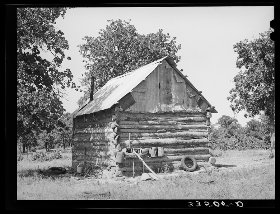


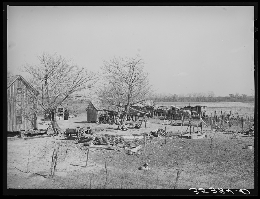


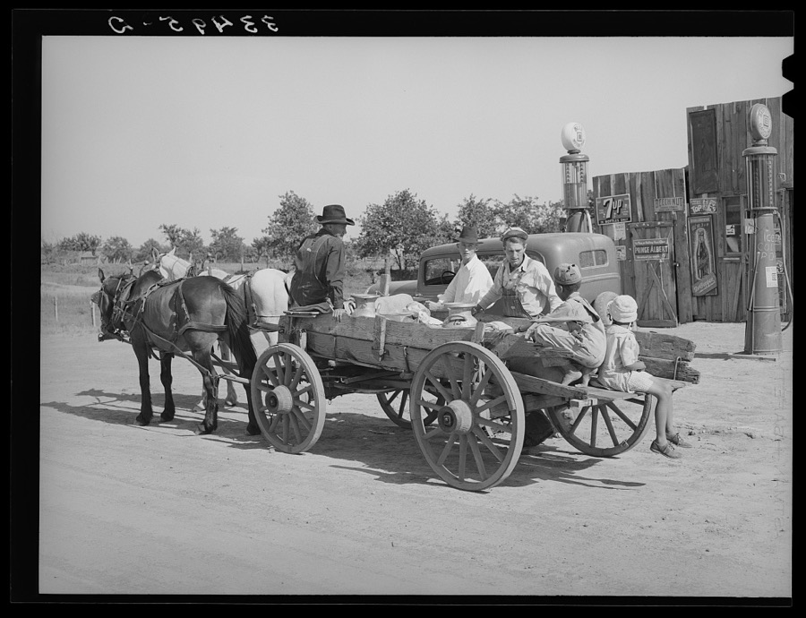
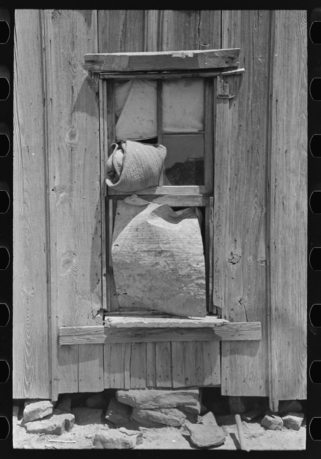
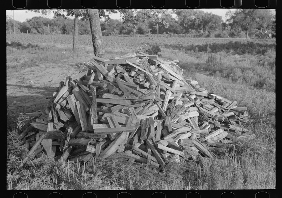


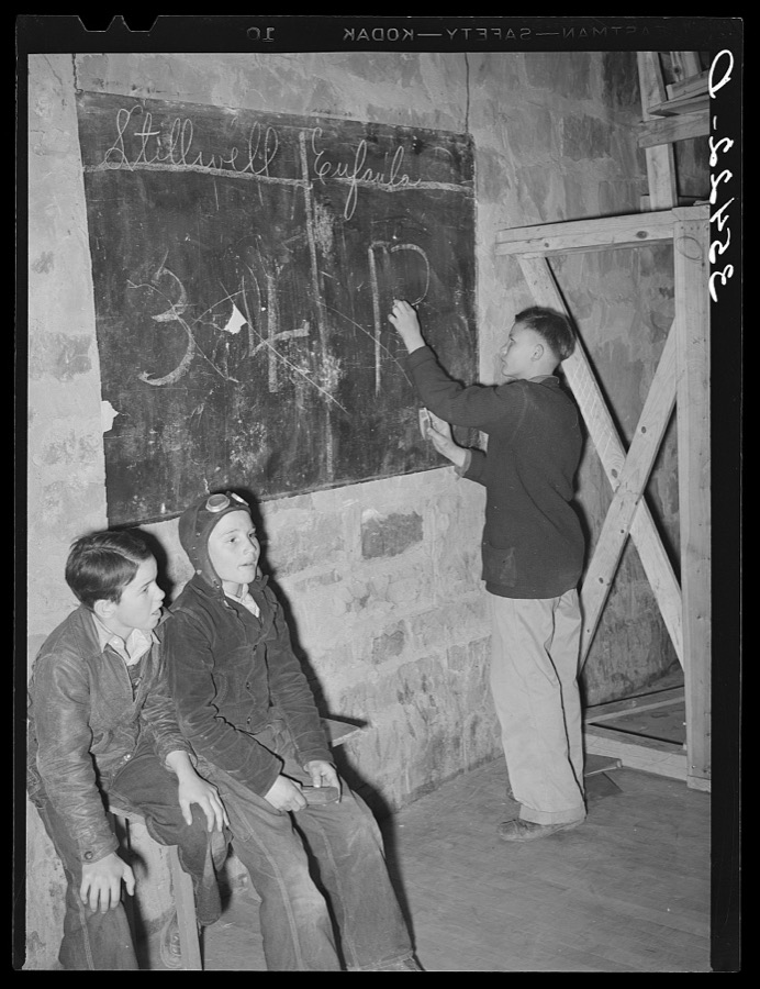
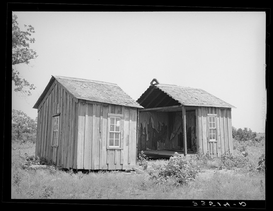

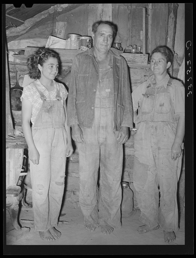
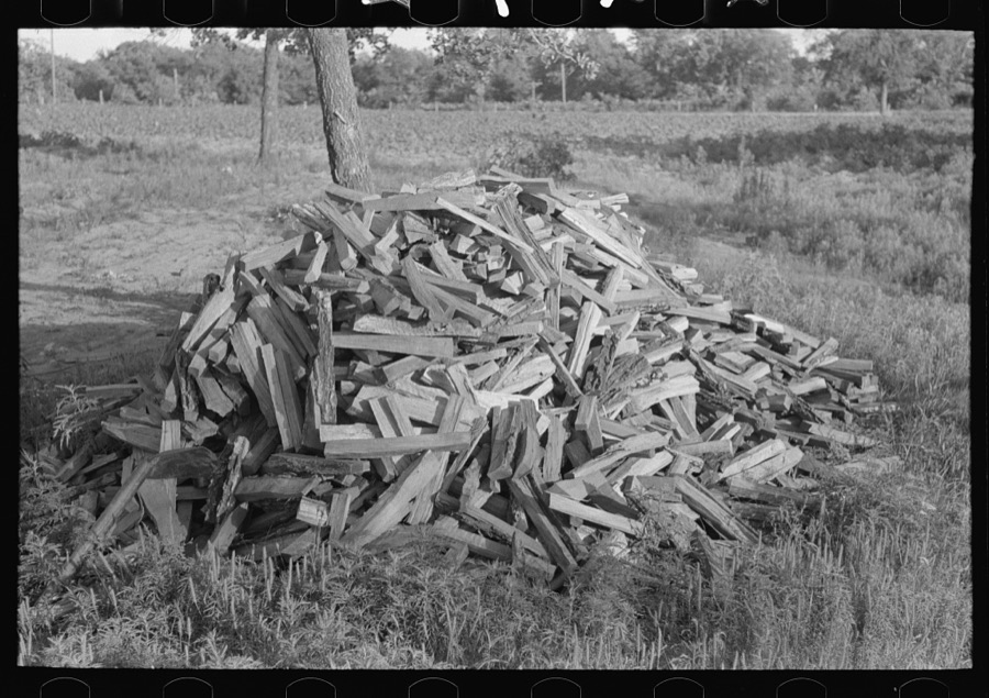

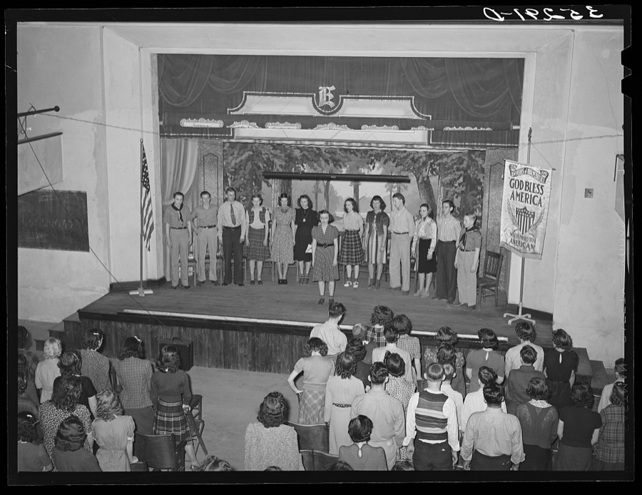
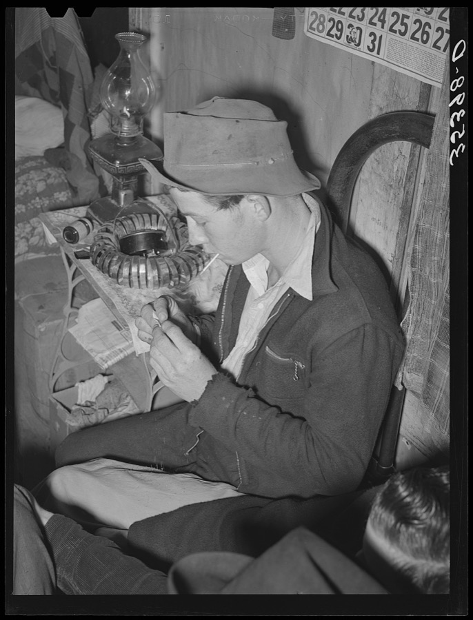



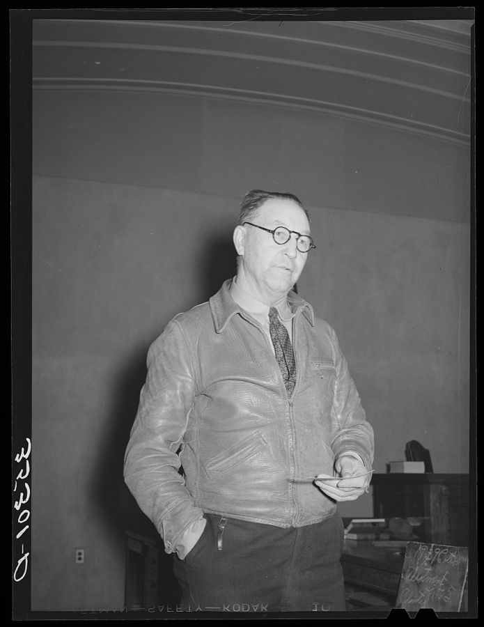






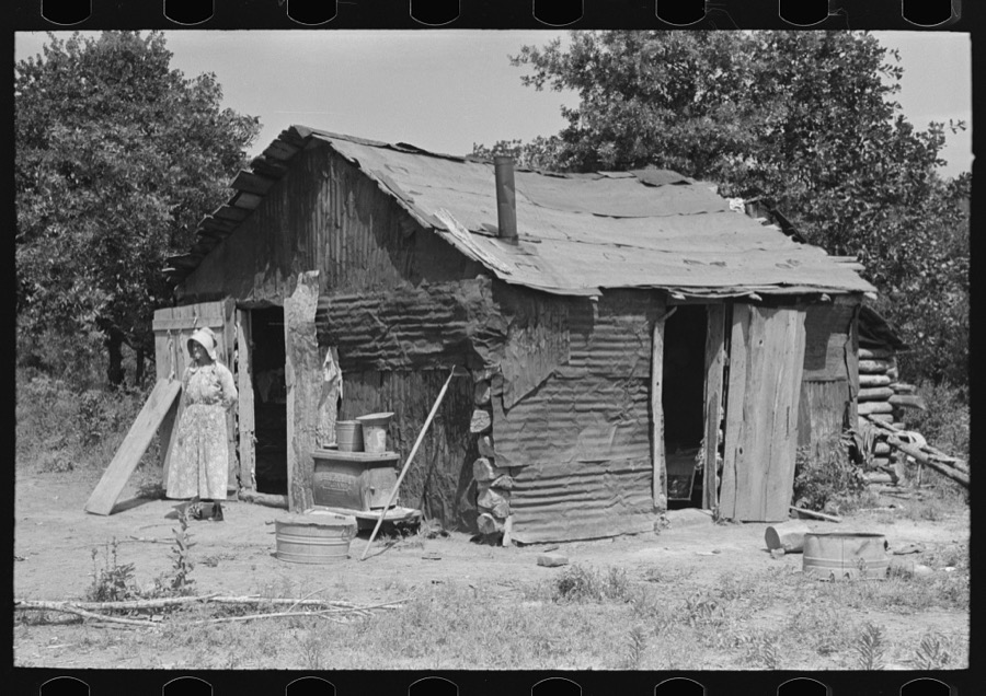






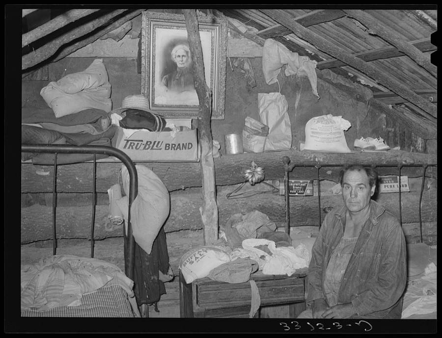
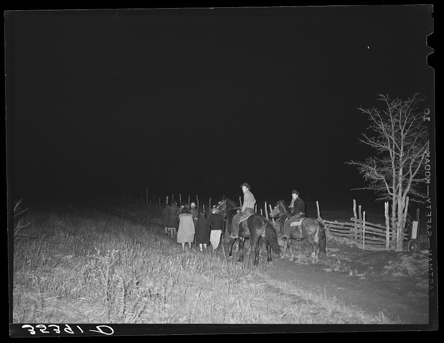
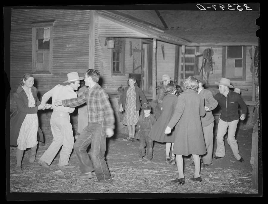

Every property in this county listed on the National Register of Historic Places, with the year it was listed and the federal nomination document.
| Photograph | Property | Type | Listed | Reference |
|---|---|---|---|---|
| Baccus House | building | 2025 | 100011715 | |
| Checotah Business District | district | 1982 | 82003688 | |
 | Checotah City Hall | building | 1998 | 98000733 |
 | Checotah MKT Depot | building | 1991 | 91001371 |
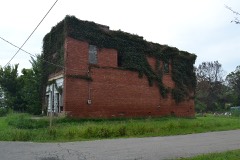 | C. L. Cooper Building | building | 1985 | 85000684 |
 | Eufaula Armory | building | 1994 | 94000481 |
| Eufaula Business District | district | 1988 | 88000400 | |
| First Soil Conservation District Dedication Site | site | 1982 | 82003689 | |
 | Honey Springs Battlefield | site | 1970 | 70000848 |
 | McIntosh County Courthouse | building | 1985 | 85000683 |
 | Methodist Episcopal Church, South | building | 1984 | 84000462 |
 | Oklahoma Odd Fellows Home at Checotah | building | 2001 | 01000660 |
| Rock Front | building | 1984 | 84003152 | |
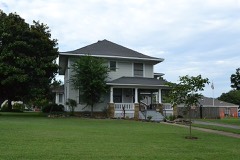 | Tabor House | building | 1996 | 96000979 |
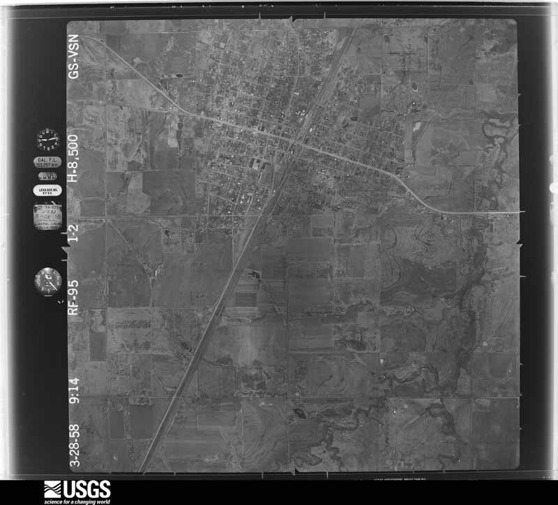
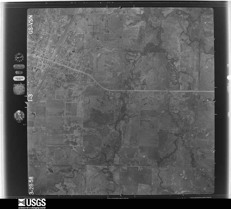
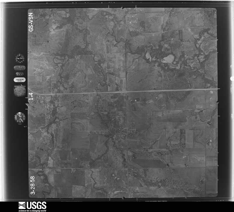
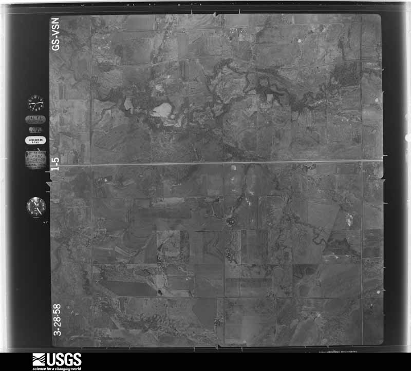
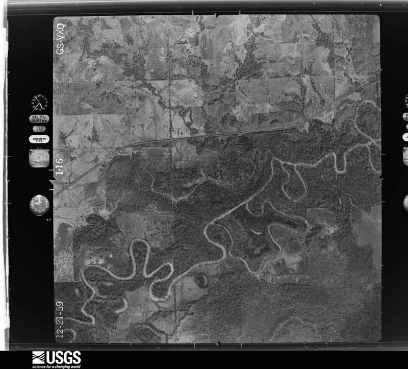
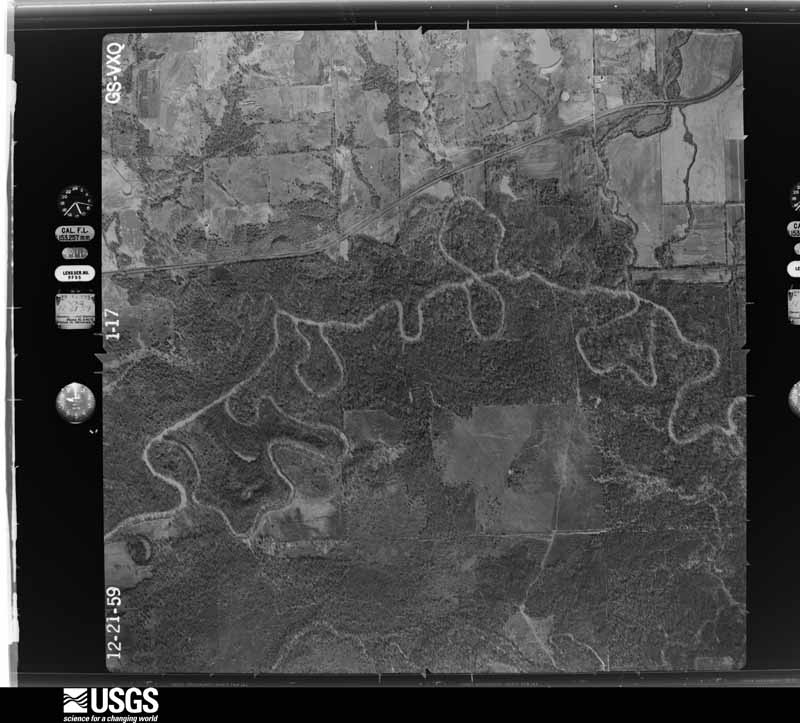
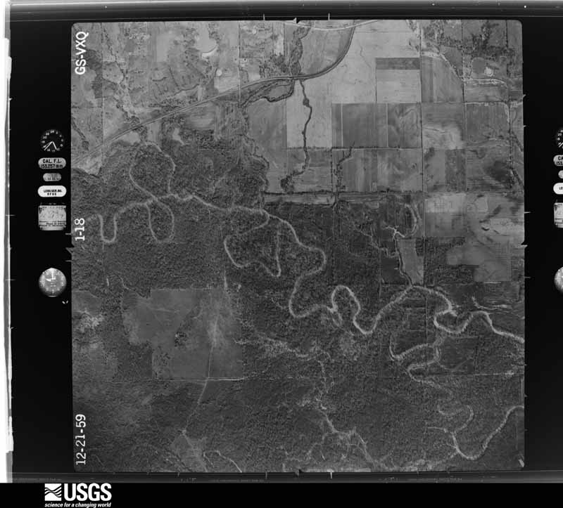
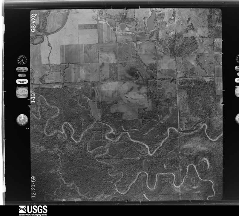
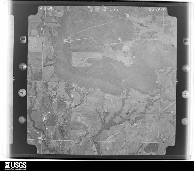
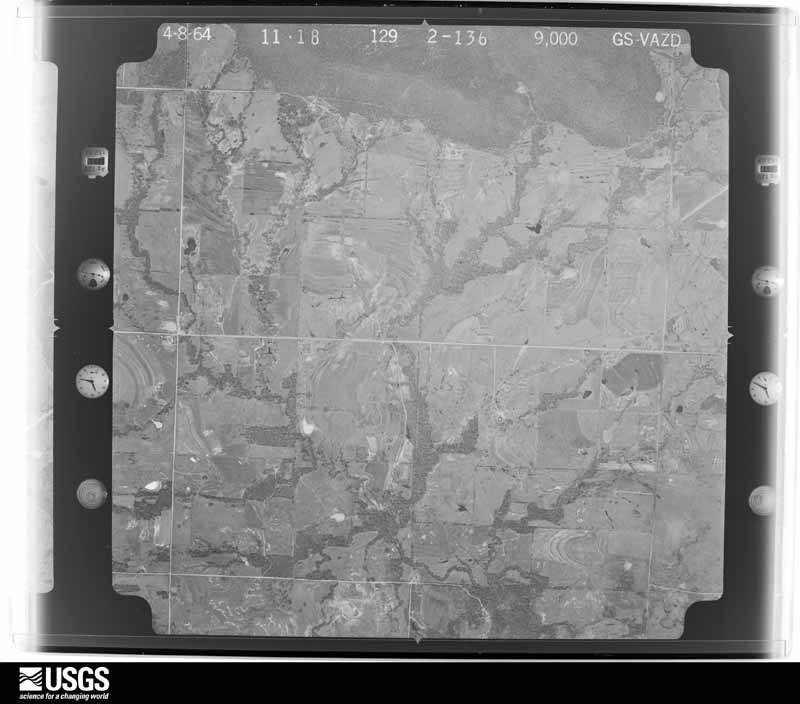
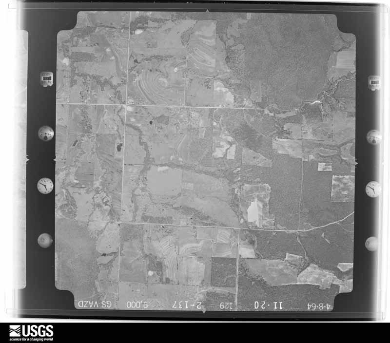
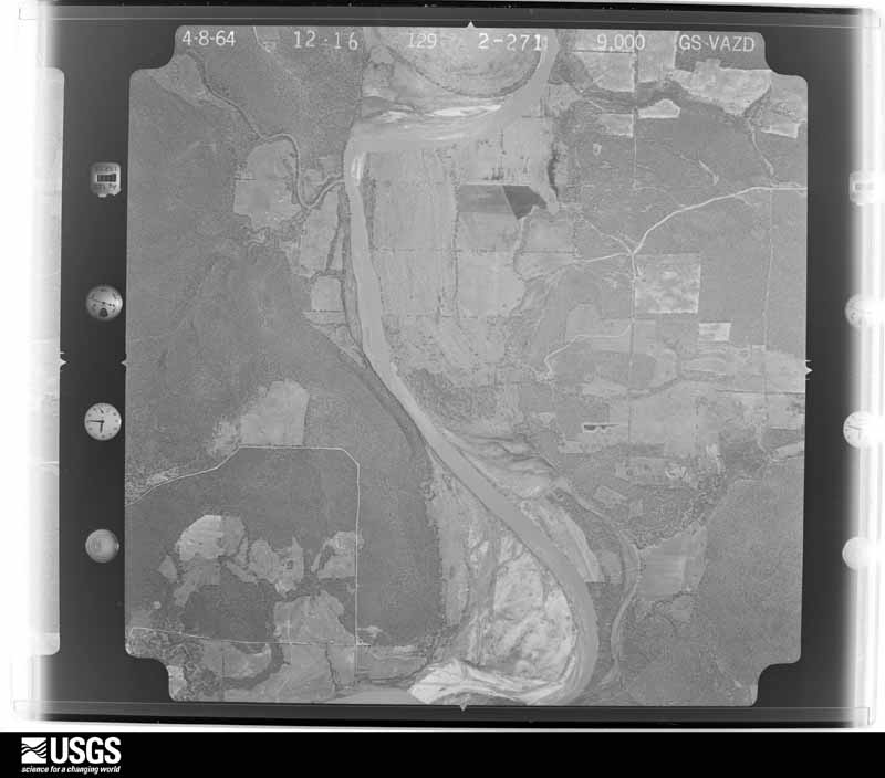
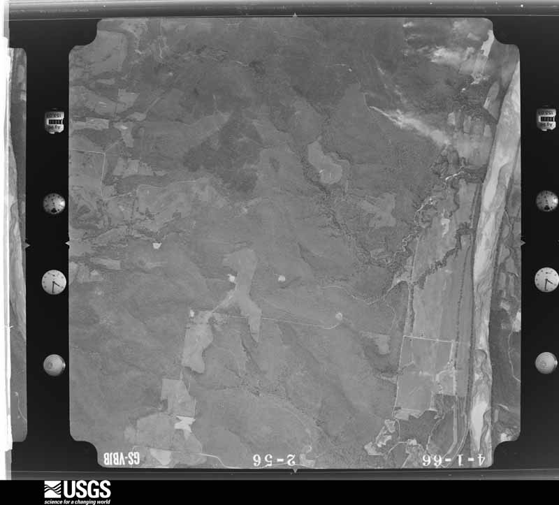
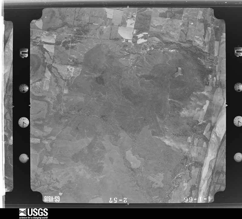
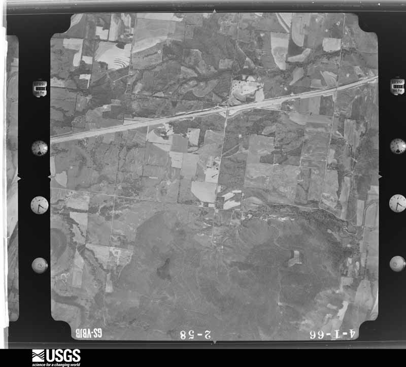
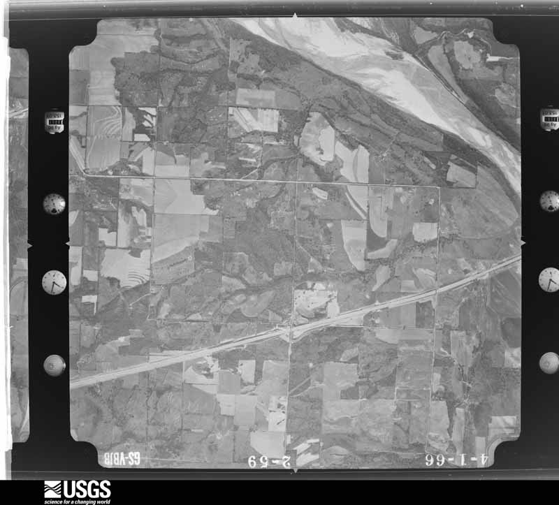
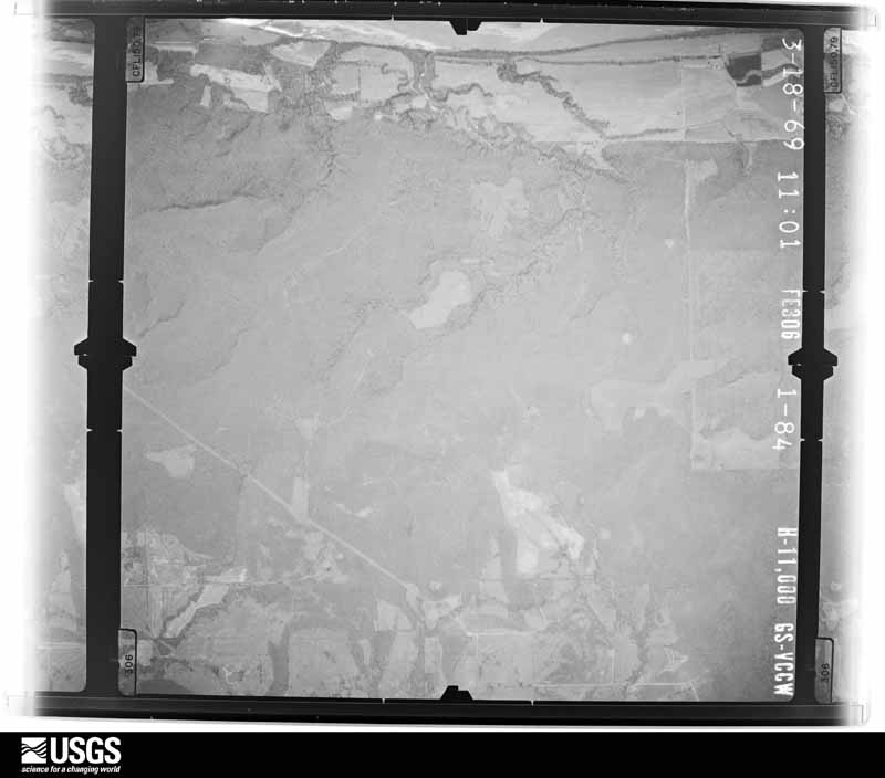
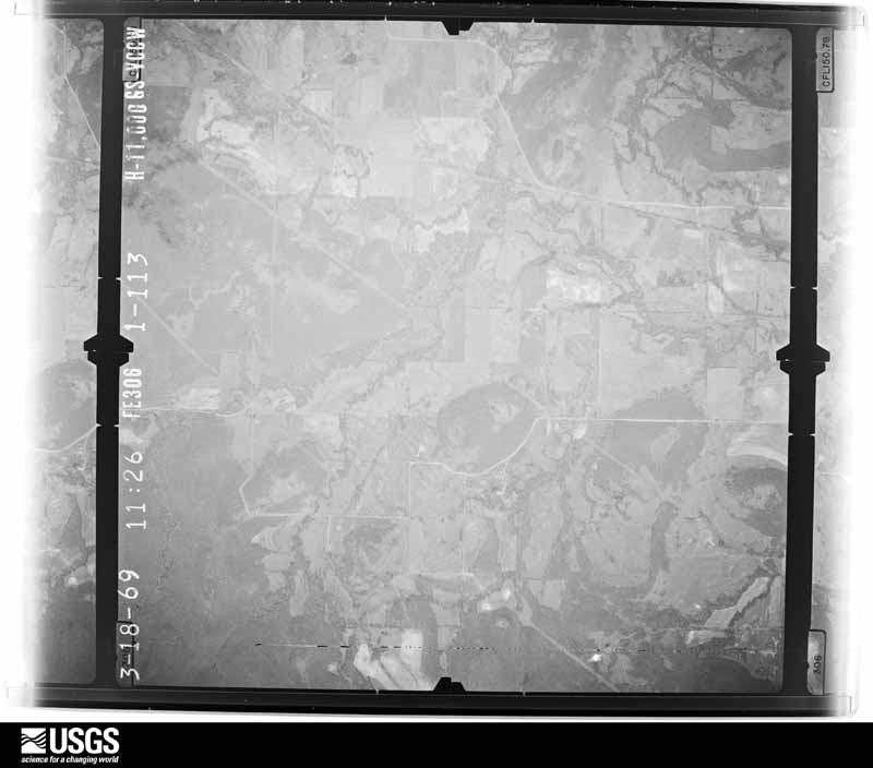
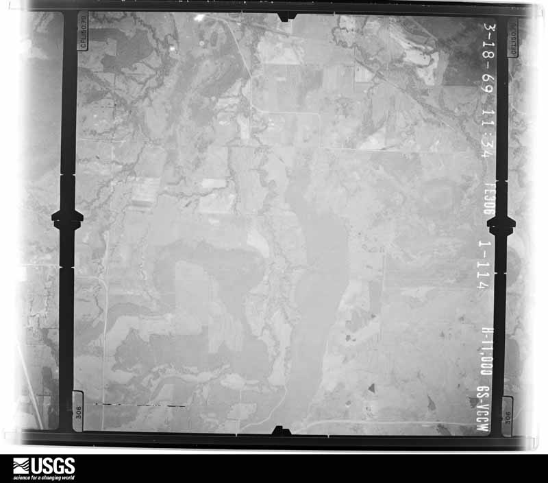
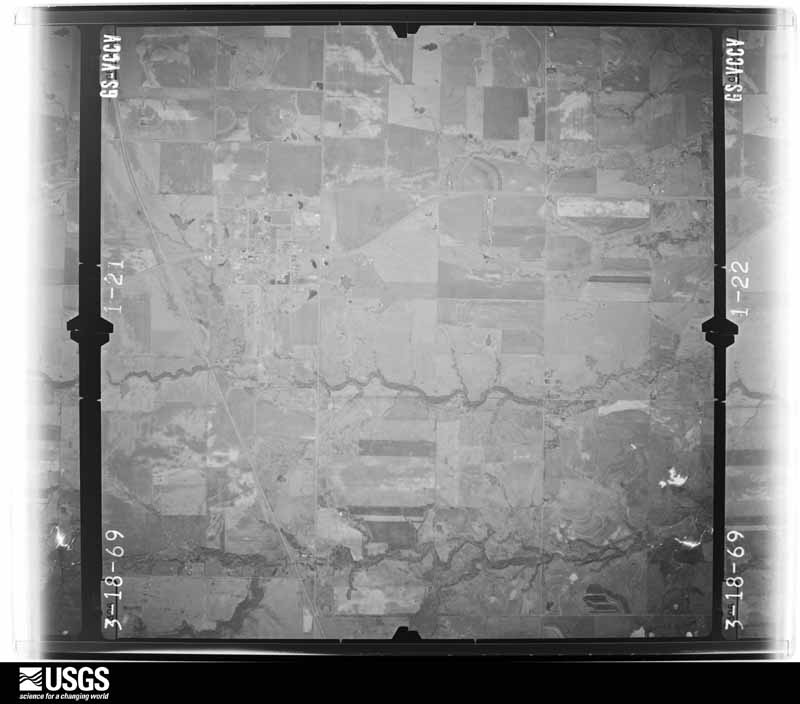
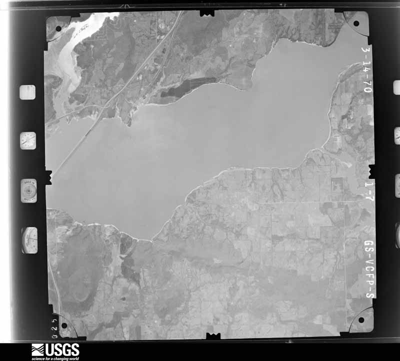
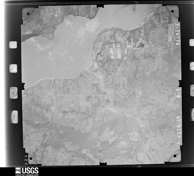
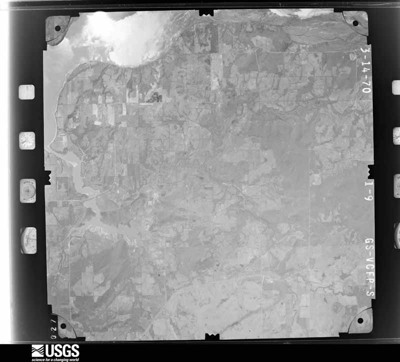
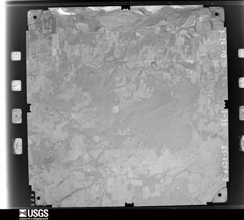
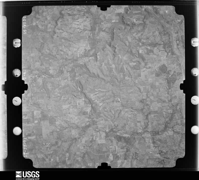
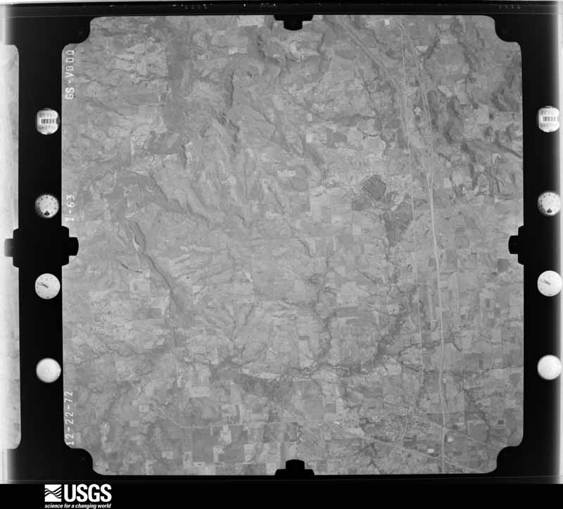
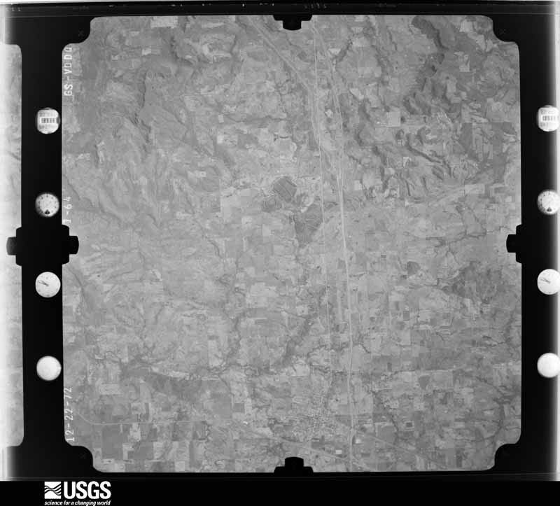
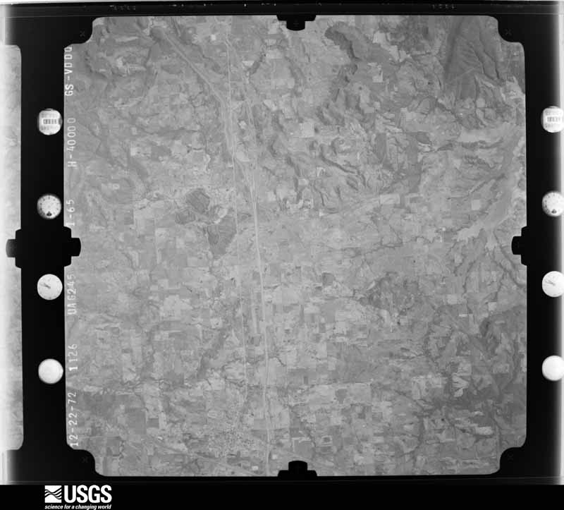
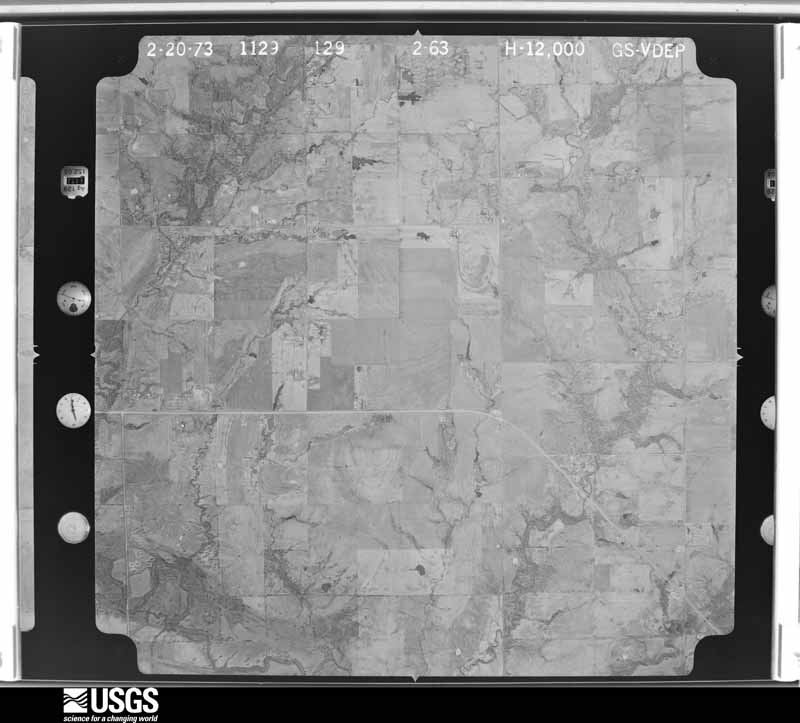
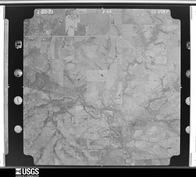
Flown by the U.S. Geological Survey between 1937 and 1989, the Aerial Photo Single Frames collection is the definitive mid-century view of the land: fields, roads and rivers as the camera saw them. The Survey holds 863 frames inside the rectangle that bounds this county; the 35 frames below were taken over the county itself, chosen across the decades of flights (at most four a year from that rectangle), so one flight cannot crowd out the rest. The full set is free to browse and download at EarthExplorer under the dataset Aerial Photo Single Frames.
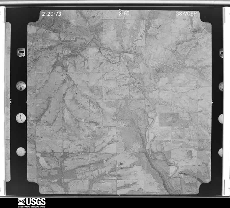
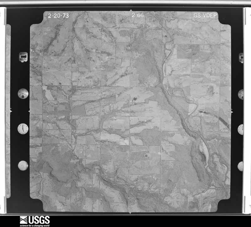
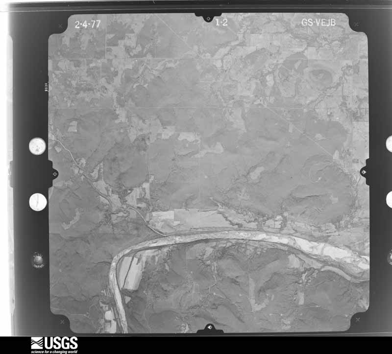
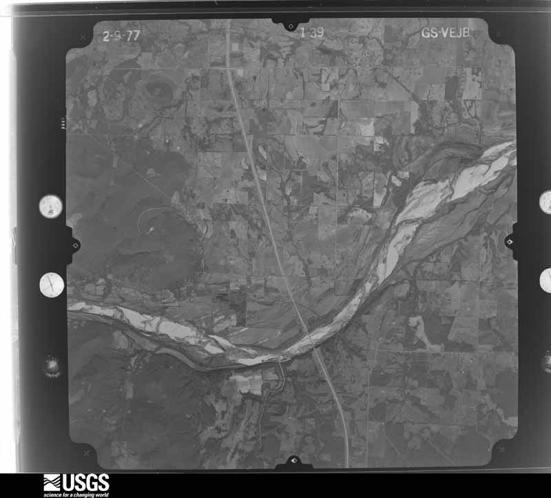

The thermometers that kept this county's weather, and the gages that measured the flow of its streams, as the federal records hold them. The extremes below are measured values from those records, not estimates.
Who lived here in 1950, one enumeration district at a time, as the Census Bureau described each district. Each row opens its official National Archives result, with Population Schedules and ED Maps available there.
Every wildfire the federal occurrence database records inside this county: 381 of them, burning about 92,381 acres. 7 started naturally and 137 were recorded as arson. Each settlement page carries the fires within five miles of it.
| Reported cause | Fires |
|---|---|
| Arson/incendiarism | 137 |
| Missing data/not specified/undetermined | 117 |
| Debris and open burning | 94 |
| Equipment and vehicle use | 17 |
| Natural | 7 |
| Power generation/transmission/distribution | 4 |
| Recreation and ceremony | 2 |
| Fireworks | 1 |
| Other causes | 1 |
| Smoking | 1 |
The five largest, by the area the report gives. Five of them were set deliberately.
| Date | Cause | Size | Reported by | Name on the report |
|---|---|---|---|---|
| 27 November 2005 | Missing data/not specified/undetermined | 10,880 acres | Oklahoma Division of Forestry | TEXANNA ROAD |
| 17 November 2005 | Arson/incendiarism | 7,680 acres | Okmulgee Field Office | PROCTOR |
| 27 November 2005 | Arson/incendiarism | 5,121 acres | Okmulgee Field Office | HANNA |
| 1 August 2006 | Arson/incendiarism | 3,960 acres | Cherokee Nation Tribe | HARPER SWAMP |
| 19 November 2005 | Arson/incendiarism | 3,000 acres | Okmulgee Field Office | BRUSHHILL2 |
| 24 November 2017 | Debris and open burning | 2,556 acres | Okmulgee Field Office | GREY |
| 25 March 2015 | Debris and open burning | 2,376 acres | Okmulgee Field Office | STORM FRONT |
| 15 March 2018 | Arson/incendiarism | 2,047 acres | Okmulgee Field Office | DEERTE |
Every settlement page carries the fires within five miles of it - see the settlement index below.
The NOAA Storm Events Database holds 676 reports for this county, causing 6 deaths, 15 injuries and about $9,372,250 in recorded property damage. Each settlement page carries the reports that name it.
| Kind of event | Reports |
|---|---|
| Hail | 320 |
| Thunderstorm Wind | 238 |
| Tornado | 61 |
| Flash Flood | 53 |
| Lightning | 3 |
| Flood | 1 |
The most serious of them, by death, then injury, then recorded damage. The accounts are quoted exactly as the forecast office filed them.
| When | Event | Place named | Harm | What the report says |
|---|---|---|---|---|
| May 1960 | Tornado (F2) | not stated | 2 killed, 6 hurt, $250,000 | no account filed |
| May 2015 | Flood | Onapa | 2 killed | Two men were drown on the Onapa Boat Ramp when the rising water of Lake Eufaula inundated their vehicle. The men were missing until June 7th when the lake receded enough for their vehicle to be found. |
| June 2025 | Lightning | Eufaula | 1 killed | A woman was walking through Greenwood cemetery, and took shelter under a tree when a thunderstorm moved into the area. She was struck and killed by lightning. |
| August 2003 | Lightning | Eufaula | 1 killed | A man was struck by lightning while standing in a parking lot near Eufaula Cove on Lake Eufaula. The man was attending a festival at the time. He was taken to a hospital where he was pronounced dead. |
| August 2008 | Thunderstorm Wind | Eufaula | 4 hurt, $1,000,000 | Thunderstorm winds measured by a storm spotter at 85 miles an hour overturned several camper trailers and severely damaged boat docks at Lake Eufaula State Park. Three boats were capsized by the wind. Four people were transported to the hospital with injuries. |
| March 1999 | Tornado (F2) | Burney | 4 hurt, $90,000 | A tornado first touched down near Burney, which is in western McIntosh County near mile marker 248 on Interstate 40. The tornado travelled parallel to and south of the interstate in the Tiger Mountain area but then crossed interstate 40 closest to mile marker 249 as it was lifting. Most of the damage from this tornado was F1-strength, but some F2-strength damage occurred.The tornado first destroyed two mobile homes. Roofing from the first destroyed home was found 150 feet to the east, and a car was crushed in a car port. The second mobile home destroyed was a brand new double-wide that had recently been tied down. The mobile home rolled 30 to 40 feet and was totally destroyed. Four members of a family inside the home were injured, one of them critically. Two cars in a car port were damaged. Further east, shingles were torn off the south and west sides of a house, and a tin shed was destroyed with debris scattered to the north and east. Another shed with appliances inside was destroyed. The tornado then passed near a small dwelling, where numerous large trees were down and a 20-foot pontoon was moved 15 feet over a tree. The tornado then hit another double-wide mobile home, which had its apron blown out on one side, had trim peeled off, and it had a window broken. Two nearby power poles were snapped off. Finally, the tornado passed a well-built two-story home. This home had shingles blown off the roof, windows broken, a sun porch was destroyed, a metal hay shed lost its roof, many large trees were blown down, two small storage sheds were destroyed,a 20-foot horse trailer rolled over, and a Ford F150 crew cab was moved 10 feet. |
| March 1961 | Tornado (F3) | not stated | 1 hurt, $25,000 | no account filed |
| June 1999 | Tornado (F1) | Checotah | $1,600,000 | The F1 tornado described here was the first of two tornadoes to touch down in Checotah on the evening of June 1. Each tornado was spawned from the same parent thunderstorm. The first tornado travelled through a more densely populated area of Checotah and therefore caused more damage, even though the second tornado had a stronger intensity rating of F3 on the Fujita scale. The first tornado touched down at 646 PM CDT on the west side of Checotah near the intersection of US Hwys 69 and 266 (West Gentry Avenue). The tornado then moved southeast through town, eventually lifting near the 700 block of South Broadway Street at 649 PM CDT. Spotters described the tornado as having a rope-like appearance. Damage assessments in Checotah combined the effects of the first and second tornadoes. Overall for both tornadoes, there were a total of 75 homes that had some sort of damage. Here is the breakdown: six homes were destroyed, 21 homes sustained major damage, 48 homes sustained minor damage, three businesses sustained minor damage, and 28 head of cattle were killed. All of the business damage occurred with the first tornado. Most notably, a Wal-Mart near US Hwys 69 and 266 sustained roof and window damage, while a Pizza Hut on South Broadway Street sustained roof damage. In addition, numerous trees were blown down, with some trees falling onto vehicles and homes. |
| March 1999 | Tornado (F2) | Pierce | $910,000 | The same parent storm which produced a tornado near Burney and Tiger Mountain produced another tornado which touched down near Pierce. At Pierce, the tornado removed roofs from quite a few homes. In Pierce, the tornado also damaged vehicles and boats.Further east, the tornado crossed Interstate 40 near Fountainhead Road (OK Hwy 150). As it crossed the interstate, four 18-wheelers were knocked over, but the drivers escaped injury. After crossing the interstate, the tornado travelled through the Sycamore Bay development, damaging ten to twelve homes. The damage included cracked ceilings, a destroyed garage, and shingles ripped off to the bare wood. One home was moved 30 feet from its foundation, and it took the roof off of another.The tornado then crossed Lake Eufaula as a waterspout, destroying five boats and several docks at Emerald Bay. Once the tornado came back onshore, it hit Lotawatah Road, where it moved a double-wide mobile home from its foundation. Another home lost its roof, and outbuildings were destroyed. A trucking company was hit, destroying five 60-foot trailers and damaging others. The tornado then crossed Humphrey Road at a racing stable, destroying six of their structures and six corrals. When the tornado reached US Hwy 266, part of a home's roof collapsed, and a horse trailer was thrown on top of a barn, which then collapsed. Along its entire path, numerous power poles were snapped off at the base. Spotters reported seeing two or three simultaneous tornadoes at times. Fortunately, the tornado lifted just before entering Checotah. |
| June 1999 | Tornado (F3) | Checotah | $700,000 | The F3 tornado described here was the second of two tornadoes to touch down in the Checotah area on the evening of June 1. Both tornadoes were spawned from the same parent thunderstorm. Even though this tornado had a stronger F-rating than the first, it caused less widespread damage since it travelled through a less densely populated area. The second tornado touched down on the southeast side of Checotah near I-40 and Grapevine Road at 650 PM CDT. The tornado travelled southeast for 4.5 miles and then lifted at 706 PM CDT.Damage assessments in Checotah combined the effects of the first and second tornadoes. For details of the damage assessment, see the third paragraph of the narrative for the Tornado entry immediately preceding this entry. This tornado, the second of the two, was rated an F3 based based on the near-complete destruction of a farm house 3 to 4 miles southeast of Checotah. |
| April 2014 | Hail | Checotah | $500,000 | Tennis ball size hail damaged businesses, homes, and vehicles. |
| May 1973 | Tornado (F2) | not stated | $250,000 | no account filed |
| May 2010 | Tornado (EF1) | Richardsville | $200,000 | An apparent anticyclonic tornado destroyed the fire department, severely damaged several mobile homes, damaged homes, snapped or uprooted numerous trees, and blew down power poles. The estimated peak wind in the tornado based on this damage was 105 mph. |
| May 2010 | Tornado (EF2) | Hichita | $200,000 | A tornado destroyed a mobile home and a barn, severely damaged a couple homes, snapped or uprooted numerous trees, and blew down power poles. The estimated peak wind in the tornado based on this damage was 115 mph. |
| May 2017 | Tornado (EF2) | Bower | $175,000 | This tornado developed south of Highway 9 and west of the Indian Nation Turnpike where it snapped and uprooted trees. As the tornado moved east-northeast, it crossed the Indian Nation Turnpike where it snapped trees. A large outbuilding was destroyed, a home was damaged, numerous trees were snapped or uprooted, and a metal high-voltage truss tower was blown down as it crossed Highway 9. The tornado continued to move east-northeast snapping and uprooting trees, and then curved to the northeast before dissipating after it crossed the N 4090 Road. Based on this damage, maximum estimated wind in the tornado was 110 to 120 mph. |
| November 2015 | Tornado (EF1) | Shady Grove | $150,000 | This tornado damaged the roofs of several homes, destroyed a chicken house, destroyed a number of outbuildings, and snapped or uprooted trees. Based on this damage, estimated maximum wind in the tornado was 90 to 100 mph. |
| June 2005 | Lightning | Stidham | $150,000 | Lightning struck the steeple of a church causing a fire. The chuch was destroyed. |
| May 2017 | Tornado (EF1) | Checotah | $125,000 | This tornado developed north of I-40 near the N 4230 Road where it snapped large tree limbs, damaged homes, and blew down privacy fences. It moved northeast snapping or uprooting trees and damaging outbuildings. A home was damaged, a large outbuilding was destroyed, power poles were blown down, and numerous trees were snapped or uprooted near the N 4270 Road. The tornado dissipated after crossing the N 4290 Road, to the north of the E 1020 Road. Based on this damage, maximum estimated wind in the tornado was 100 to 110 mph. |
| May 2010 | Tornado (EF2) | Burney | $125,000 | A tornado developed just north of I-40 and south of Lake Eufaula, moved east-northeast across the lake, and then curved northeast before dissipating north-northeast of the intersection of Highway 266 and Highway 72. The tornado severely damaged homes and mobile homes, destroyed several barns, snapped or uprooted numerous trees, and blew down power poles. The estimated peak wind in the tornado based on this damage was 115 mph. |
| September 2010 | Flash Flood | Eufaula | $125,000 | McIntosh County Emergency Management reported numerous road closures across the southern half of county. Some roads were washed out. High water flooded a few businesses in Eufaula and flooded a few residences just west of Eufaula. |
| June 2023 | Thunderstorm Wind | Hitchita | $111,000 | Thunderstorm wind resulted in at least $111,000 in debris removal and damage to the utility infrastructure across the county during this severe thunderstorm. |
| January 2023 | Tornado (EF1) | Texanna | $100,000 | This tornado developed near the Lake Eufaula shoreline near the 4240 Road, where large tree limbs were snapped. The tornado moved northeast across Texanna Road, destroying storage buildings, damaging homes, destroying a camper trailer, and uprooting trees, then moved across the Duchess Creek arm of the lake. It moved back onshore and across the 1120 Road, where trees were uprooted and an outbuilding was destroyed. The tornado then damaged trees as it crossed the 1110 Road, and dissipated east of the 4290 Road and west of the Muskogee County line. Based on this damage, maximum estimated wind in the tornado was 85 to 95 mph. |
| February 2018 | Flash Flood | Checotah | $100,000 | Portions of several county roads were reported flooded, some of which were washed out. |
| April 2016 | Tornado (EF1) | Checotah | $100,000 | This tornado damaged the roofs of numerous homes and businesses in Checotah, damaged outbuildings, snapped or uprooted numerous trees, and blew down power poles. Based on this damage, maximum estimated wind in the tornado was 90 to 100 mph. |
| April 2008 | Hail | Eufaula | $100,000 | Golfball size hail damaged homes and automobiles. |
| October 2007 | Thunderstorm Wind | Eufaula | $100,000 | The Oklahoma mesonet site near Eufaula recorded at 90 mile an hour wind gust. The strong wind damaged several homes and businesses, blew down numerous trees and power lines, damaged eighteen barns, and damaged a number of boat docks. |
| April 2001 | Thunderstorm Wind | Checotah | $90,000 | Thunderstorm winds destroyed three mobile homes. |
| April 2022 | Hail | Rentiesville | $75,000 | Hen egg size hail damaged homes, businesses, and vehicles. |
| May 2017 | Tornado (EF1) | Stidham | $75,000 | This tornado destroyed a mobile home, damaged the roofs of several other homes, destroyed outbuildings, snapped or uprooted numerous trees, and blew down power poles. Based on this damage, maximum estimated wind in the tornado was 95 to 105 mph. |
| April 2017 | Flash Flood | Checotah | $75,000 | Many roads in town were flooded and impassable, and flood water inundated some homes. |
| April 2008 | Thunderstorm Wind | Hanna | $75,000 | Thunderstorm winds estimated at 80 miles an hour rolled an untied mobile home over and destroyed it. Windows and siding were damaged by the combination of the wind and hail. |
| May 2000 | Flash Flood | Countywide | $75,000 | Heavy rains caused roads, tin horns and bridges to be washed out. |
| October 1998 | Flash Flood | Countywide | $51,000 | Flooding reported at Fountainhead State Park. Infrastructure damage resulting from flash flooding countywide estimated at $51,000. |
| March 2025 | Tornado (EF0) | Checotah | $50,000 | This tornado developed north of the E 1090 Road and west of New Texanna Road, where large tree limbs were snapped, the roof of a barn was blown off, and the roof of a home was damaged. The tornado moved northeast snapping large tree limbs as it crossed the S 4260 Road, and dissipated. Based on this damage, maximum estimated wind in the tornado was 80 to 85 mph. |
| October 2025 | Hail | Checotah | $50,000 | Golf ball size hail damaged homes and vehicles in Checotah. |
| September 2023 | Hail | Vivian | $50,000 | Baseball size hail damaged homes and vehicles in the Mill Creek area. |
| September 2009 | Flash Flood | Checotah | $50,000 | Heavy rains caused county roads to be washed out around Checotah. |
| May 2001 | Tornado (F1) | Hanna | $50,000 | This tornado started in Hughes County and entered McIntosh county 7 miles northwest of Hanna. The tornado lifted 5 miles north of Hanna. As the tornado crossed the Indian Nation Turnpike near Highway 9 it did damage to a McDonalds restaurant and three Transportation Depmartment storage sheds. A large truck was also overturned. |
| April 1999 | Flash Flood | West Portion | $50,000 | A bridge was washed out by flood waters. |
| May 2001 | Hail | Vivian | $50,000 | no account filed |
| May 1997 | Thunderstorm Wind | Hanna | $45,000 | no account filed |
| May 2010 | Tornado (EF2) | Burney | $40,000 | A tornado destroyed a mobile home, damaged a barn, and snapped or uprooted numerous trees. The estimated peak wind in the tornado based on this damage was 115 mph. |
| June 1999 | Tornado (F2) | Onapa | $40,000 | Spotters reported a tornado touchdown in open rangeland, moving due south for about 2 miles. Along the way, this tornado killed 28 head of cattle when they were hurled into a fence line. This tornado also caused minor damage to a home near Onapa. |
| June 1996 | Thunderstorm Wind | Rentiesville | $40,000 | no account filed |
| August 2023 | Hail | Eufaula Arpk | $30,000 | Golf ball size hail damaged homes and vehicles. |
| September 2023 | Hail | Raiford | $30,000 | A spotter measured hail to 3.85 inches wide. The very large hail damaged homes and vehicles. |
| May 2010 | Tornado (EF1) | Rentiesville | $30,000 | A tornado severely damaged a mobile home, damaged a home, snapped or uprooted numerous trees, and blew down power poles. The estimated peak wind in the tornado based on this damage was 110 mph. |
| April 2025 | Hail | Eufaula | $25,000 | Hail larger than golf ball size damaged homes and vehicles. |
| May 2021 | Hail | Eufaula | $25,000 | Golf ball size hail damaged vehicles and homes. |
| May 2021 | Tornado (EF1) | Hanna | $25,000 | This tornado developed north of Highway 9 and west of Red Hill Road, where large tree limbs were snapped. The tornado moved east-southeast damaging a barn, uprooting a tree, and snapping large tree limbs as it moved along Highway 9. A home was damaged, several trees were uprooted, and a small tree was snapped as the tornado crossed the 4030 Road. It dissipated south of Highway 9 and east of the 4030 Road over open country. Based on this damage, maximum estimated wind in the tornado was 90 to 95 mph. |
| May 2017 | Tornado (EF1) | Fame | $25,000 | This tornado destroyed an outbuilding, damaged a home, snapped or uprooted numerous trees, and blew down power poles. Based on this damage, maximum estimated wind in the tornado was 95 to 105 mph. |
| April 2016 | Hail | Pierce | $25,000 | Hail larger than golfball size damaged the roofs of buildings and vehicles. |
| July 2016 | Thunderstorm Wind | Eufaula | $25,000 | Strong thunderstorm wind blew down power lines, snapped numerous large tree limbs, and damaged roofs of buildings. |
| July 2013 | Thunderstorm Wind | Eufaula | $25,000 | Thunderstorm wind gusts were measured to 77 mph at the courthouse in Eufaula. Trees and power lines were blown down. |
| August 2011 | Thunderstorm Wind | Eufaula | $25,000 | A 20' x 60' metal building was blown off its foundation by strong thunderstorm wind. The wind also blew the top portion off a radio tower and damaged cars. |
| August 2011 | Thunderstorm Wind | Eufaula | $25,000 | Strong thunderstorm wind blew the roofs off of two buildings and blew down power lines. |
| April 2011 | Flash Flood | Checotah | $25,000 | Checotah Middle School buildings were flooded. |
| July 2007 | Thunderstorm Wind | Eufaula | $25,000 | Thunderstorm winds estimated at 80 miles an hour blew the roof off of an office building. |
| August 2007 | Thunderstorm Wind | Checotah | $25,000 | Thunderstorm winds estimated at 80 miles an hour blew a tractor trailer off Interstate 40. |
| May 2003 | Thunderstorm Wind | Onapa | $25,000 | Thunderstorm winds estimated at 80 miles an hour blew a mobile home off its foundation, blew shingles off a roof of a home, damaged outbuildings and blew down power poles and power lines. |
The Survey's mineral resources record lists 7 workings inside this county. 1 still produces and 6 are closed or unrecorded. Each settlement page carries the workings within five miles of it.
| Commodity | Workings |
|---|---|
| Flagstone | 3 |
| Sand and Gravel, Construction | 2 |
| Clay | 2 |
The least common of them first, because a county's hundredth gravel pit says nothing its first ten did not.
| Where | Site | Commodity | Status | Recorded |
|---|---|---|---|---|
| Unknown Sand Pit | Sand and Gravel, Construction | Producer | ||
| Unknown Sand Pit | Sand and Gravel, Construction | Past Producer | ||
| Unknown Shale Pit | Clay | Past Producer | ||
| Unknown Shale Pit | Clay | Past Producer | ||
| Unknown Sandstone Quarry | Flagstone | Past Producer | ||
| Unknown Sandstone Quarry | Flagstone | Past Producer | ||
| Unknown Sandstone Quarry | Flagstone | Past Producer |
Named settlements recorded in the Geographic Names Information System, each with the topographic sheets covering it. Villages, hamlets and abandoned places alike. Each is shown with the nearest named watercourse or landform and the survey quadrangle it falls on.
Checotah census division · 74426 · On Shady Grove Creek · Checotah quadrangle
15 sheets, 1900 to 1978
Hitchita-Pierce census division · 74438 · On Putty Creek · Morris quadrangle
14 sheets, 1896 to 1978
Hanna census division · 74432 · On Wallace Creek · Raiford quadrangle
13 sheets, 1900 to 1978
Checotah census division · 74426 · On Honey Springs Branch · Oktaha quadrangle
19 sheets, 1901 to 1978
Hitchita-Pierce census division · 74426 · On Gentry Creek · Pierce quadrangle
16 sheets, 1900 to 1978
Checotah census division · 74426 · On Texanna Mountain · Texanna quadrangle
15 sheets, 1900 to 1978