 Block
From the record
6 National Register listings published here.
Sources: the National Register database, National Park Service
37 topographic sheets and 19 fire insurance atlases across 3 places.
6 National Register listings published here.
Sources: the National Register database, National Park Service
Every property in this county listed on the National Register of Historic Places, with the year it was listed and the federal nomination document.
| Photograph | Property | Type | Listed | Reference |
|---|---|---|---|---|
| Cemetery Patent 110 | site | 2001 | 01000951 | |
| Diamond Point Dependent District No. 44 School | building | 1996 | 96000977 | |
| Moore Ranch | district | 2010 | 10000617 | |
 | Nowata County Courthouse | building | 1984 | 84003375 |
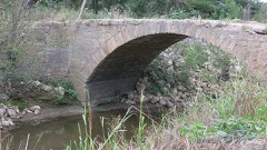 | Opossum Creek Bridge | structure | 2009 | 09000077 |
 | United States Post Office Nowata | building | 2009 | 09000217 |
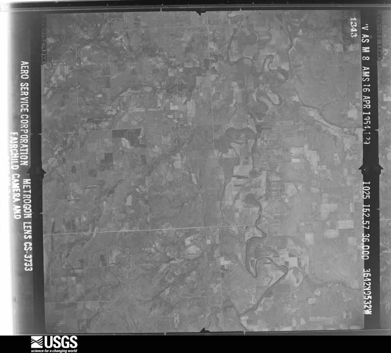
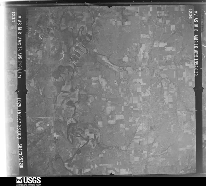
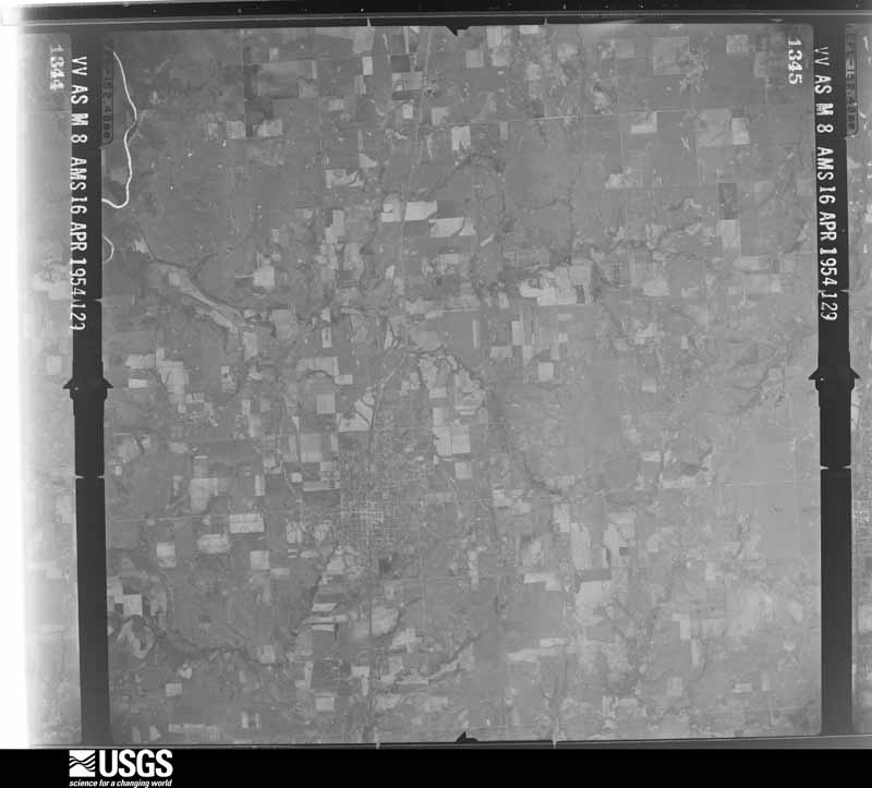
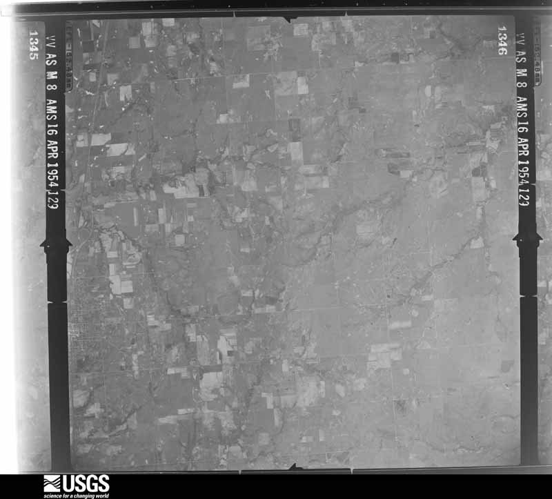
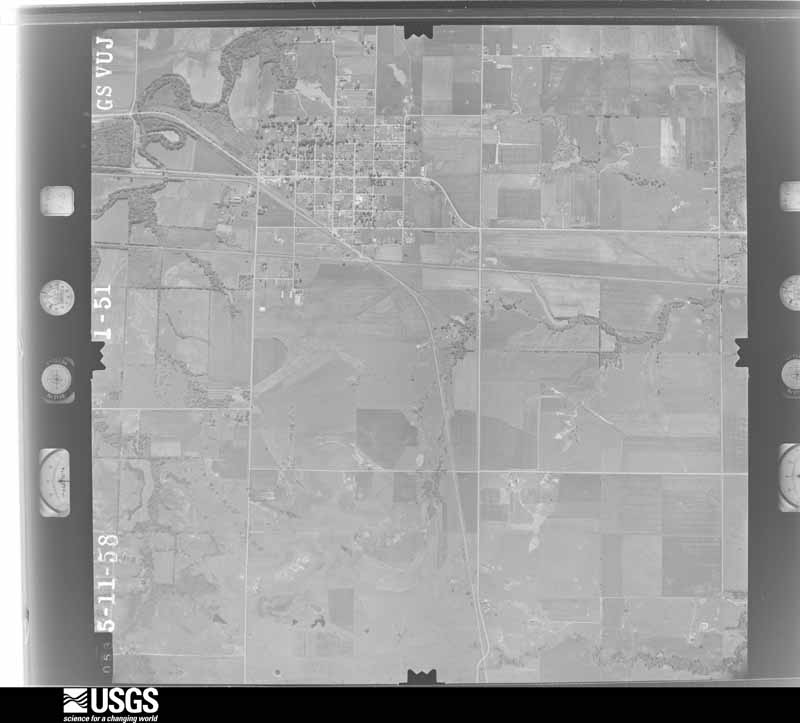
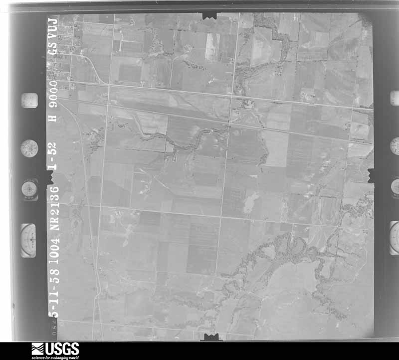
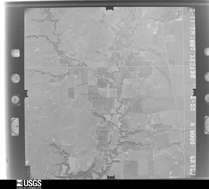
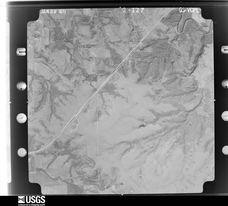
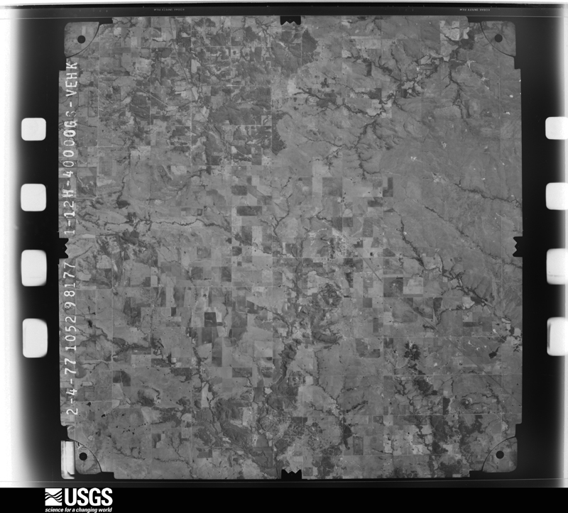
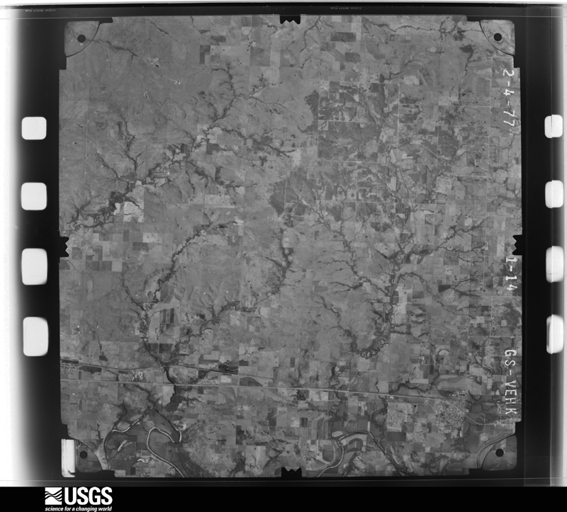
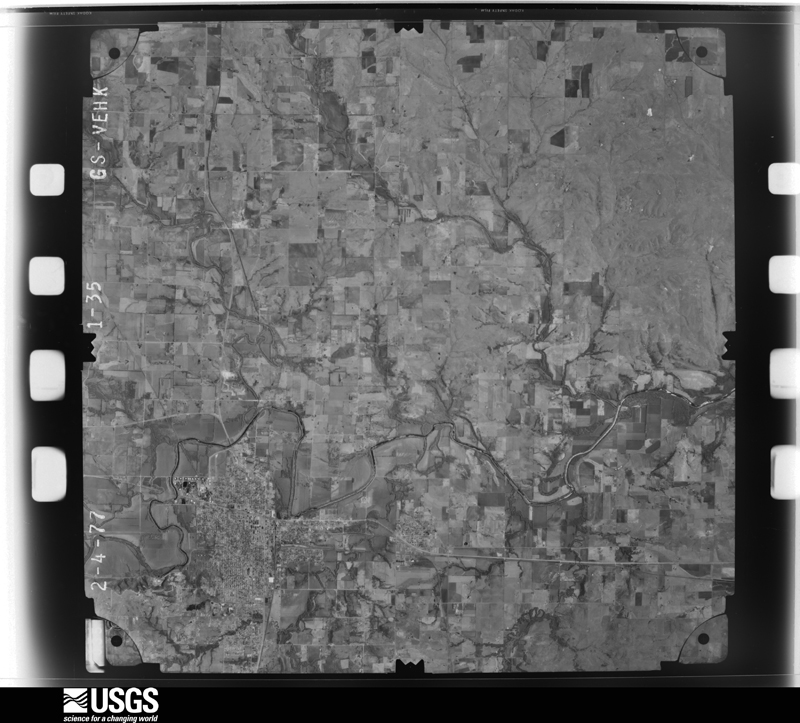
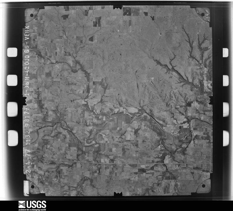
Flown by the U.S. Geological Survey between 1937 and 1989, the Aerial Photo Single Frames collection is the definitive mid-century view of the land: fields, roads and rivers as the camera saw them. The Survey holds 537 frames inside the rectangle that bounds this county; the 24 frames below were taken over the county itself, chosen across the decades of flights (at most four a year from that rectangle), so one flight cannot crowd out the rest. The full set is free to browse and download at EarthExplorer under the dataset Aerial Photo Single Frames.
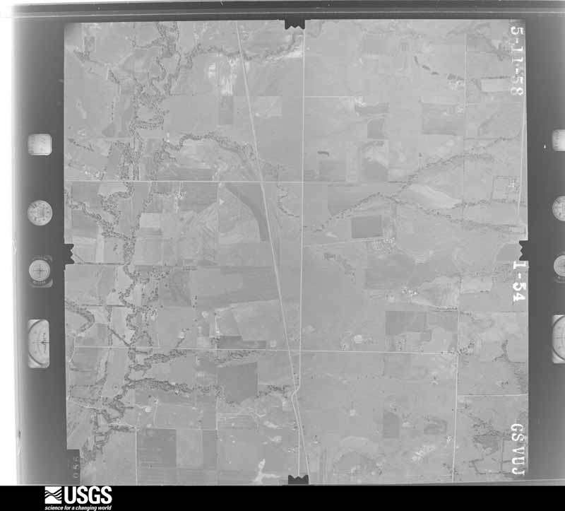
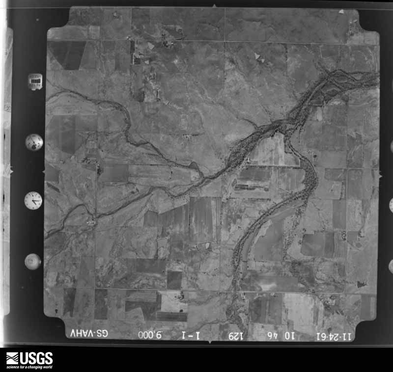
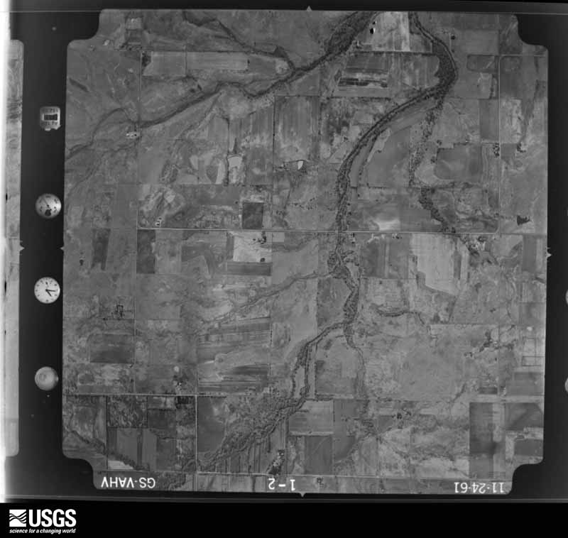
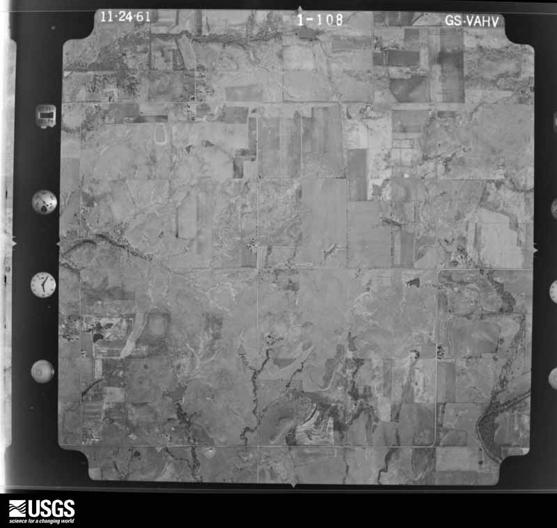
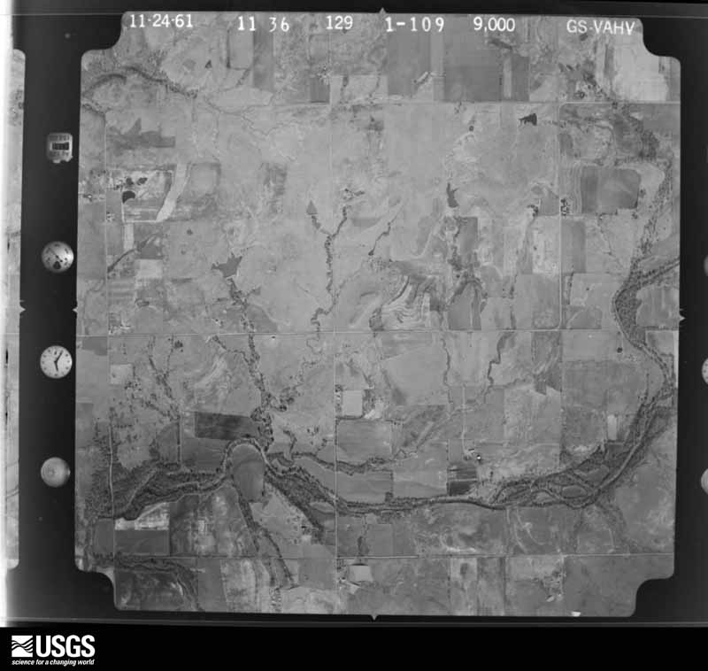
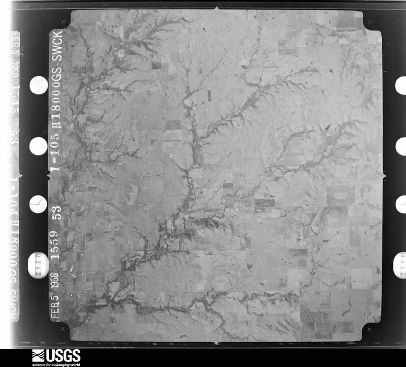
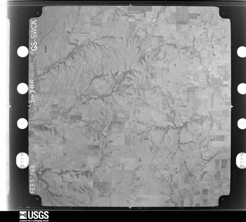
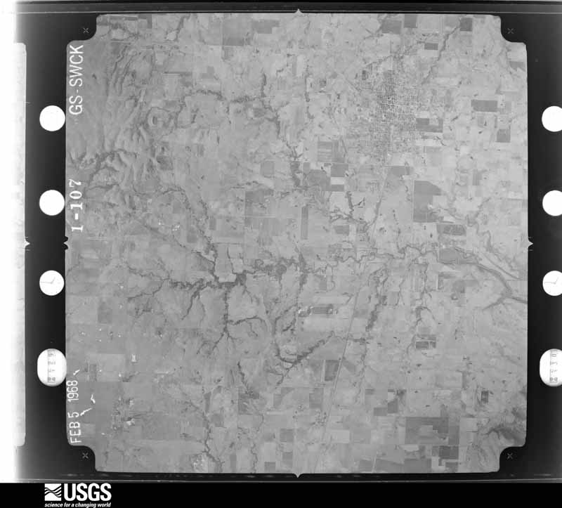
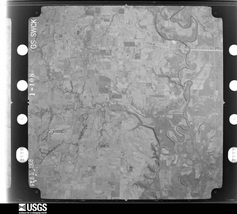
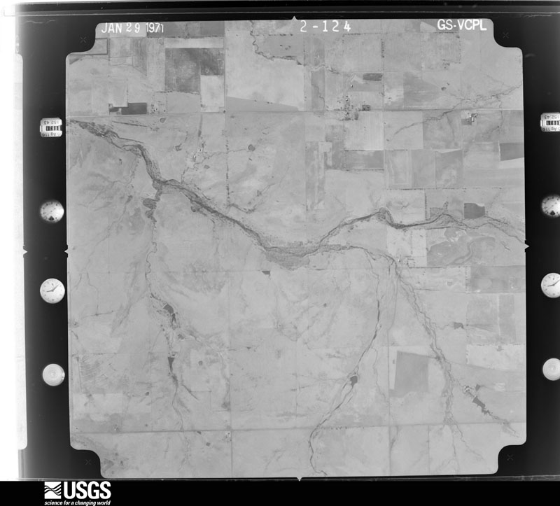
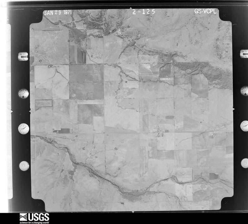
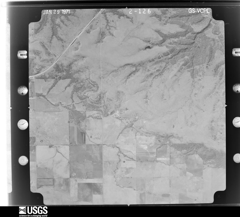
The thermometers that kept this county's weather, and the gages that measured the flow of its streams, as the federal records hold them. The extremes below are measured values from those records, not estimates.
Who lived here in 1950, one enumeration district at a time, as the Census Bureau described each district. Each row opens its official National Archives result, with Population Schedules and ED Maps available there.
Every wildfire the federal occurrence database records inside this county: 15 of them, burning about 16,130 acres. 2 started naturally and 3 were recorded as arson. Each settlement page carries the fires within five miles of it.
| Reported cause | Fires |
|---|---|
| Missing data/not specified/undetermined | 5 |
| Arson/incendiarism | 3 |
| Equipment and vehicle use | 3 |
| Natural | 2 |
| Debris and open burning | 2 |
The five largest, by the area the report gives. Two of them were set deliberately.
| Date | Cause | Size | Reported by | Name on the report |
|---|---|---|---|---|
| 24 February 2016 | Arson/incendiarism | 14,000 acres | Cherokee Nation Tribe | WANN |
| 24 February 2016 | Arson/incendiarism | 840 acres | Cherokee Nation Tribe | SALT CREEK |
| 5 March 2006 | Missing data/not specified/undetermined | 330 acres | Oklahoma Division of Forestry | NOWATA NORTH |
| 16 February 2006 | Missing data/not specified/undetermined | 144 acres | Cherokee Nation Tribe | SMOKERISE |
| 17 February 2011 | Debris and open burning | 143 acres | Cherokee Nation Tribe | LOST FARM |
| 14 April 2011 | Missing data/not specified/undetermined | 130 acres | Oklahoma Division of Forestry | 40306 |
| 15 February 2006 | Equipment and vehicle use | 120 acres | Cherokee Nation Tribe | COON CREEK |
| 13 March 2008 | Missing data/not specified/undetermined | 116 acres | Cherokee Nation Tribe | MINTIWAC MAN |
Every settlement page carries the fires within five miles of it - see the settlement index below.
The NOAA Storm Events Database holds 469 reports for this county, causing 3 deaths, 10 injuries and about $8,044,830 in recorded property damage. Each settlement page carries the reports that name it.
| Kind of event | Reports |
|---|---|
| Thunderstorm Wind | 206 |
| Hail | 158 |
| Tornado | 43 |
| Flash Flood | 43 |
| Flood | 18 |
| Lightning | 1 |
The most serious of them, by death, then injury, then recorded damage. The accounts are quoted exactly as the forecast office filed them.
| When | Event | Place named | Harm | What the report says |
|---|---|---|---|---|
| September 2012 | Thunderstorm Wind | Nowata Arpt | 3 killed, $250,000 | An intense downburst destroyed a double wide mobile home, killing three occupants. The strong thunderstorm wind also destroyed at least two other mobile homes, damaged the roofs and siding of a number of permanent homes, destroyed a number of steel-framed or wood-framed outbuildings, snapped many power poles, and snapped or uprooted trees in this area. |
| May 1981 | Tornado (F2) | not stated | 3 hurt, $250,000 | no account filed |
| May 1981 | Tornado (F2) | not stated | 3 hurt | no account filed |
| May 2013 | Tornado (EF1) | Watova | 2 hurt, $75,000 | This is the final segment of this two segment tornado. In Nowata County, this tornado destroyed a mobile home, injuring two occupants. It also damaged other permanent homes, destroyed a barn, and snapped or uprooted numerous trees. Based on this damage, maximum estimated wind in this segment of the tornado was 100 to 110 mph. Several storm chasers photographed this tornado. This tornado moved east-northeast until it crossed E 28 Road then turned sharply to the north, paralleling the N 4150 Road until it dissipated. |
| April 2024 | Tornado (EF1) | Delaware | 1 hurt, $20,000 | This tornado developed just north of the 1600 Road and west of the 4120 Road. It moved east-northeast across the 4130 Road, Highway 169, and the 4150 Road. It dissipated over open country north of the 150 Road and west of the 4160 Road. Trees were uprooted, large tree limbs were snapped, outbuildings were damaged, and power poles were blown down by the tornado. A tractor trailer was rolled over by the tornado as it crossed Highway 169, injuring the driver. Based on this damage, maximum estimated wind in the tornado was 90 to 100 mph. |
| April 2020 | Thunderstorm Wind | Lenapah | 1 hurt, $10,000 | Strong thunderstorm wind blew down a tree onto a car, injuring its occupant. |
| August 2002 | Thunderstorm Wind | Nowata | $3,500,000 | Thunderstorm winds measured at 74 miles an hour at a nearby mesonet site and estimated at 80 miles an hour at Nowata did widespread damage in and around Nowata. Several hundred trees and power poles were damaged or blown down. The trees fell on several houses causing roof damage. Several cars were also damaged. The downed power poles caused widespread power outages that lasted up to 12 hours. |
| May 2003 | Thunderstorm Wind | Nowata | $750,000 | Thunderstorm winds estimated at 80 miles did serious damage along a 6 miles long area from just southwest of Nowata to just northwest of Nowata. Two homes, an indoor livestock area and 5 barns were destroyed. Twelve other structures received significant roof damage. This damage was produced by the same line of thunderstorms that produced significant wind damage in Bartlesville earlier in the morning. |
| May 1993 | Thunderstorm Wind | Nowata | $500,000 | no account filed |
| July 2007 | Flood | Lenapah | $250,000 | At 1145 pm CDT on June 29 the Verdigris River near Lenapah rose above its flood stage of 30 feet. The crest of the river at 42.89 feet at 300 pm CDT on July 2 was a record. The river fell below its flood stage at 4:45 am CDT on July 8.||Widespread flooding resulted. Numerous roads became impassible, including State Highway 169, State Highway 28, and State Highway 10.|At least one major bridge over the river was damaged. The flooding primarily occurred in rural areas with roughly 30 residences directly damaged. Environmental issues were also a factor along the Verdigris River due to a 42,000 gallon crude oil spill at a Coffeyville, Kansas refinery caused by flooding. The river was monitored for contamination. | |
| May 2007 | Flash Flood | Wann | $250,000 | Heavy rains that began during the evening of May 6th and continued through the morning of May 7th caused significant flash flooding of rural roads across the north and northwest portions of the county. As many as sixteen tin horns were washed out and major damage to county roads resulted. |
| March 1982 | Tornado (F2) | not stated | $250,000 | no account filed |
| March 1982 | Tornado (F2) | not stated | $250,000 | no account filed |
| May 1996 | Tornado (F2) | Watova | $200,000 | no account filed |
| April 2003 | Tornado (F1) | Wann | $150,000 | A F1 tornado entered Nowata county from Washington county one mile north of Wann. The tornado traveled east northeast three miles producing damage to barns, sheds, and power poles and power lines before lifting 8 miles west southwest of South Coffeyville. The electrical service was interupted for up to 8 hours in the northwest part of Nowata county and adjacent parts of Washington county. |
| March 2004 | Flash Flood | Countywide | $120,000 | Heavy thunderstorm rains caused flooding and some damage of numerous roads across Nowata county. The highest rainfall total for the day was 3.73 inches at Wann. |
| September 2012 | Hail | Nowata | $100,000 | Wind-driven baseball size hail broke windows, damaged the roofs and siding of homes, and damaged automobiles. |
| September 2012 | Thunderstorm Wind | Nowata Arpt | $100,000 | Strong thunderstorm wind blew the doors off a steel-framed hangar, blew off a large portion of the roof of another steel-framed hangar, and flipped an airplane. A large steel-framed building just west of the airport had major damage to the roof and siding. |
| June 2007 | Flash Flood | Wann | $100,000 | Heavy rains caused flooding which required the closing of Highway 10 just east of Wann. Numerous secondary roads were flooded causing one bridge to be washed out and several tin horns to be damaged. |
| March 2016 | Tornado (EF1) | Coodys Bluff | $75,000 | This tornado destroyed a 30' by 60' metal-framed building, destroyed several wood-framed barns, damaged a couple homes, and snapped or uprooted numerous trees. It was witnessed by several storm chasers. Based on this damage, maximum estimated wind in the tornado was 100 to 110 mph. |
| September 2012 | Thunderstorm Wind | Nowata | $60,000 | Strong thunderstorm wind destroyed several steel-framed structures, damaged a number of homes, snapped numerous power poles, and snapped or uprooted trees. |
| April 2012 | Flash Flood | South Coffeyville | $50,000 | Very heavy rainfall resulted in widespread flash flooding. A few homes were flooded and multiple roads were barricaded in town due to high water. |
| September 2012 | Hail | Nowata Arpt | $50,000 | Wind-driven golfball size hail broke windows, damaged the roofs and siding of homes, and damaged automobiles. |
| October 1998 | Tornado (F0) | Watova | $50,000 | An F0 tornado touched down just northeast of Watova around 1005 PM CDT, destroying a barn on Section Road 27. The tornado continued east, destroying the old one-room Terrell School Building near Section Roads 27 and 415. A mobile home at Section Roads 26 and 416 lost most of its roof. Portions of the roof were wrapped around trees over one hundred yards southeast of the home. From there, the tornado most likely crossed Lake Oologah and continued to an area 3 miles north of New Alluwe by 1015 PM CDT, where the tornado destroyed a shed, damaged a house, damaged a barn, and knocked down several trees. The tornado was actually seen by a trained spotter 3 miles north of New Alluwe. |
| May 2008 | Hail | Wann | $50,000 | no account filed |
| March 2009 | Thunderstorm Wind | Wann | $40,000 | Thunderstorm winds estimated at 80 miles an hour blew down a metal shop building and also caused significant roof damage to a few other buildings. |
| August 2005 | Thunderstorm Wind | Wann | $30,000 | Strong thunderstorm wind destroyed a barn, rolled and destroyed an unoccupied mobile home, and blew down trees. |
| April 2019 | Thunderstorm Wind | Lenapah | $25,000 | Strong thunderstorm wind blew off portions of the roofs of several barns and outbuildings, and uprooted trees. |
| September 2012 | Thunderstorm Wind | Nowata | $25,000 | Strong thunderstorm wind snapped a number of power poles and uprooted trees. |
| March 1979 | Tornado (F3) | not stated | $25,000 | no account filed |
| May 2024 | Thunderstorm Wind | South Coffeyville | $20,000 | Strong thunderstorm wind damaged the roofs of homes, and blew down power lines. |
| June 2014 | Hail | Delaware | $20,000 | Baseball size hail broke windows in homes and vehicles. |
| April 2012 | Thunderstorm Wind | Delaware | $20,000 | Strong thunderstorm wind blew down large trees onto a home. |
| April 2011 | Tornado (EF1) | Glenoak | $20,000 | This is the second of two segments of this tornado. In Nowata County, the tornado damaged several permanent homes and snapped or uprooted trees. Maximum wind in the tornado based on this damage was about 105 mph. |
| May 2008 | Thunderstorm Wind | Lenapah | $20,000 | Thunderstorm winds estimated at 80 miles an hour blew the roof off a trailer house. |
| May 2017 | Hail | Nowata | $20,000 | no account filed |
| June 2014 | Hail | Nowata | $20,000 | no account filed |
| May 2024 | Hail | Delaware | $15,000 | Hail slightly larger than golf ball size damaged homes and vehicles. |
| November 2020 | Hail | Wann | $15,000 | Ping pong ball size hail damaged vehicles and homes. |
| March 2009 | Thunderstorm Wind | Watova | $15,000 | Thunderstorm winds estimated at 80 miles an hour damaged a carport and blew shingles off a home. |
| September 1999 | Thunderstorm Wind | Lenapah | $15,000 | Roofs were blown off several barns, and several trees were blown down. |
| August 2017 | Hail | Watova | $15,000 | no account filed |
| September 2019 | Flash Flood | Watova | $10,000 | Portions of numerous roads were flooded from the Nowata/Rogers County line north to Delaware. Several water rescues occurred on Highway 169. |
| April 2012 | Tornado (EF1) | Glenoak | $10,000 | A tornado snapped and uprooted numerous hardwood trees and damaged several barns. Maximum estimated wind in the tornado based on this damage was 105 to 115 mph. |
| August 2012 | Thunderstorm Wind | Lenapah | $10,000 | Strong thunderstorm wind blew down power poles and damaged the roof of a house and a barn on Highway 10. |
| July 2010 | Thunderstorm Wind | South Coffeyville | $10,000 | Power lines were blown down and a barn collapsed at County Road 1 and 416 due to strong thunderstorm wind. |
| June 2019 | Hail | Elliot | $10,000 | no account filed |
| November 1999 | Thunderstorm Wind | South Coffeyville | $7,000 | Numerous trees and power lines were blown down. Several metal sheds were destroyed. |
| May 2018 | Thunderstorm Wind | South Coffeeville Ar | $5,000 | Strong thunderstorm wind blew off the roof of a garage, snapped large tree limbs, and blew down power lines. |
| May 2013 | Thunderstorm Wind | South Coffeeville Ar | $5,000 | Strong thunderstorm wind blew down a few power poles. |
| April 2012 | Tornado (EF0) | Nowata Arpt | $5,000 | Storm spotters reported a brief tornado. The tornado blew down power poles and power lines. |
| September 2012 | Thunderstorm Wind | Nowata | $5,000 | Power lines were blown down by strong thunderstorm wind. |
| September 2012 | Thunderstorm Wind | Nowata | $5,000 | Strong thunderstorm wind damaged the metal siding of an outdoor garage, blew shingles off the roofs of several homes, and snapped large tree limbs. |
| September 2012 | Thunderstorm Wind | South Coffeeville Ar | $5,000 | Several trees and power lines were blown down by strong thunderstorm wind. |
| May 2011 | Thunderstorm Wind | South Coffeeville Ar | $5,000 | Strong thunderstorm wind blew down power lines in South Coffeyville. |
| May 2011 | Thunderstorm Wind | Lenapah | $5,000 | Strong thunderstorm wind blew the roof off a barn and blew down several trees. |
| April 2009 | Thunderstorm Wind | Nowata | $5,000 | Thunderstorm winds estimated at 80 miles an hour blew part of a roof off of a house. |
| April 2008 | Flash Flood | Nowata | $5,000 | Heavy rain caused severe street flooding. Water entered some homes. |
| June 2008 | Thunderstorm Wind | Wann | $5,000 | Strong thunderstorm wind gusts measured to 62 mph damaged the guttering of the fire station and blew down several trees. |
| July 2006 | Thunderstorm Wind | Lenapah | $5,000 | Thunderstorm winds estimated at 70 miles an hour blew the roof off a porch, and blew down tree limbs and power lines. |
The Survey's mineral resources record lists 86 workings inside this county. 3 still produce and 83 are closed or unrecorded. Each settlement page carries the workings within five miles of it.
| Commodity | Workings |
|---|---|
| Sand and Gravel, Construction | 62 |
| Stone, Crushed/Broken | 12 |
| Clay | 12 |
The least common of them first, because a county's hundredth gravel pit says nothing its first ten did not.
| Where | Site | Commodity | Status | Recorded |
|---|---|---|---|---|
| Leco Materials Limestone Pit | Stone, Crushed/Broken | Past Producer | ||
| Peerless Materials Limestone Pit | Stone, Crushed/Broken | Past Producer | ||
| Peerless Pit | Stone, Crushed/Broken | Producer | ||
| Unknown Limestone Pit | Stone, Crushed/Broken | Past Producer | ||
| Unknown Limestone Pit | Stone, Crushed/Broken | Producer | ||
| Unknown Limestone Pit | Stone, Crushed/Broken | Past Producer | ||
| Unknown Limestone Pit | Stone, Crushed/Broken | Past Producer | ||
| Unknown Sandstone Pit | Stone, Crushed/Broken | Past Producer | ||
| Unknown Sandstone Pit | Stone, Crushed/Broken | Past Producer | ||
| Unknown Sandstone Pit | Stone, Crushed/Broken | Past Producer | ||
| Unknown Sandstone Pit | Stone, Crushed/Broken | Past Producer | ||
| Unknown Sandstone Pit | Stone, Crushed/Broken | Past Producer | ||
| Unknown Shale Pit | Clay | Past Producer | ||
| Unknown Shale Pit | Clay | Past Producer | ||
| Unknown Shale Pit | Clay | Past Producer | ||
| Unknown Shale Pit | Clay | Past Producer | ||
| Unknown Shale Pit | Clay | Past Producer | ||
| Unknown Shale Pit | Clay | Past Producer | ||
| Unknown Shale Pit | Clay | Past Producer | ||
| Unknown Shale Pit | Clay | Past Producer | ||
| Unknown Shale Pit | Clay | Past Producer | ||
| Unknown Shale Pit | Clay | Past Producer | ||
| Unknown Shale Pit | Clay | Producer | ||
| Unknown Shale Pit | Clay | Past Producer | ||
| Unknown Gravel Pit | Sand and Gravel, Construction | Past Producer | ||
| Unknown Gravel Pit | Sand and Gravel, Construction | Past Producer | ||
| Unknown Gravel Pit | Sand and Gravel, Construction | Past Producer | ||
| Unknown Gravel Pit | Sand and Gravel, Construction | Past Producer | ||
| Unknown Gravel Pit | Sand and Gravel, Construction | Past Producer | ||
| Unknown Gravel Pit | Sand and Gravel, Construction | Past Producer | ||
| Unknown Gravel Pit | Sand and Gravel, Construction | Past Producer | ||
| Unknown Gravel Pit | Sand and Gravel, Construction | Past Producer | ||
| Unknown Gravel Pit | Sand and Gravel, Construction | Past Producer | ||
| Unknown Gravel Pit | Sand and Gravel, Construction | Past Producer | ||
| Unknown Gravel Pit | Sand and Gravel, Construction | Past Producer | ||
| Unknown Gravel Pit | Sand and Gravel, Construction | Past Producer | ||
| Unknown Gravel Pit | Sand and Gravel, Construction | Past Producer | ||
| Unknown Gravel Pit | Sand and Gravel, Construction | Past Producer | ||
| Unknown Gravel Pit | Sand and Gravel, Construction | Past Producer | ||
| Unknown Gravel Pit | Sand and Gravel, Construction | Past Producer | ||
| Unknown Gravel Pit | Sand and Gravel, Construction | Past Producer | ||
| Unknown Gravel Pit | Sand and Gravel, Construction | Past Producer | ||
| Unknown Gravel Pit | Sand and Gravel, Construction | Past Producer | ||
| Unknown Gravel Pit | Sand and Gravel, Construction | Past Producer | ||
| Unknown Gravel Pit | Sand and Gravel, Construction | Past Producer | ||
| Unknown Gravel Pit | Sand and Gravel, Construction | Past Producer | ||
| Unknown Gravel Pit | Sand and Gravel, Construction | Past Producer | ||
| Unknown Gravel Pit | Sand and Gravel, Construction | Past Producer | ||
| Unknown Gravel Pit | Sand and Gravel, Construction | Past Producer | ||
| Unknown Gravel Pit | Sand and Gravel, Construction | Past Producer | ||
| Unknown Gravel Pit | Sand and Gravel, Construction | Past Producer | ||
| Unknown Gravel Pit | Sand and Gravel, Construction | Past Producer | ||
| Unknown Gravel Pit | Sand and Gravel, Construction | Past Producer | ||
| Unknown Gravel Pit | Sand and Gravel, Construction | Past Producer | ||
| Unknown Gravel Pit | Sand and Gravel, Construction | Past Producer | ||
| Unknown Gravel Pit | Sand and Gravel, Construction | Past Producer | ||
| Unknown Gravel Pit | Sand and Gravel, Construction | Past Producer | ||
| Unknown Gravel Pit | Sand and Gravel, Construction | Past Producer | ||
| Unknown Gravel Pit | Sand and Gravel, Construction | Past Producer | ||
| Unknown Gravel Pit | Sand and Gravel, Construction | Past Producer | ||
| Unknown Gravel Pit | Sand and Gravel, Construction | Past Producer | ||
| Unknown Gravel Pit | Sand and Gravel, Construction | Past Producer | ||
| Unknown Gravel Pit | Sand and Gravel, Construction | Past Producer | ||
| Unknown Gravel Pit | Sand and Gravel, Construction | Past Producer | ||
| Unknown Gravel Pit | Sand and Gravel, Construction | Past Producer | ||
| Unknown Gravel Pit | Sand and Gravel, Construction | Past Producer | ||
| Unknown Gravel Pit | Sand and Gravel, Construction | Past Producer | ||
| Unknown Gravel Pit | Sand and Gravel, Construction | Past Producer | ||
| Unknown Gravel Pit | Sand and Gravel, Construction | Past Producer | ||
| Unknown Gravel Pit | Sand and Gravel, Construction | Past Producer | ||
| Unknown Gravel Pit | Sand and Gravel, Construction | Past Producer | ||
| Unknown Gravel Pit | Sand and Gravel, Construction | Past Producer | ||
| Unknown Gravel Pit | Sand and Gravel, Construction | Past Producer | ||
| Unknown Gravel Pit | Sand and Gravel, Construction | Past Producer | ||
| Unknown Gravel Pit | Sand and Gravel, Construction | Past Producer | ||
| Unknown Gravel Pit | Sand and Gravel, Construction | Past Producer | ||
| Unknown Gravel Pit | Sand and Gravel, Construction | Past Producer | ||
| Unknown Gravel Pit | Sand and Gravel, Construction | Past Producer | ||
| Unknown Gravel Pit | Sand and Gravel, Construction | Past Producer | ||
| Unknown Gravel Pit | Sand and Gravel, Construction | Past Producer | ||
| Unknown Gravel Pit | Sand and Gravel, Construction | Past Producer | ||
| Unknown Gravel Pit | Sand and Gravel, Construction | Past Producer | ||
| Unknown Gravel Pit | Sand and Gravel, Construction | Past Producer | ||
| Unknown Gravel Pit | Sand and Gravel, Construction | Past Producer | ||
| Unknown Sand Pit | Sand and Gravel, Construction | Past Producer | ||
| Unknown Sand Pit | Sand and Gravel, Construction | Past Producer |
Named settlements recorded in the Geographic Names Information System, each with the topographic sheets covering it. Villages, hamlets and abandoned places alike. Each is shown with the nearest named watercourse or landform and the survey quadrangle it falls on. The 3 places that were also surveyed for fire insurance come first, with the number of atlases and photographs held for them.
Lenapah-Delaware census division · 74027 · On Wolf Creek · Delaware quadrangle
17 sheets, 1901 to 1985
Fire insurance: 3 atlases
Lenapah-Delaware census division · 74042 · Delaware quadrangle
17 sheets, 1901 to 1985
Fire insurance: 6 atlases
Nowata census division · 74048 · Nowata West quadrangle
17 sheets, 1901 to 1985
Fire insurance: 10 atlases
Nowata census division · 74048 · Near Overcup Bottoms · Nowata East quadrangle
16 sheets, 1901 to 1985
South Coffeyville-Wann census division · 74072 · On Opossum Creek · Elliott quadrangle
16 sheets, 1901 to 1985
Lenapah-Delaware census division · 74027 · On Looney Branch · Sanders quadrangle
14 sheets, 1901 to 1985
South Coffeyville-Wann census division · 74072 · South Coffeyville quadrangle
17 sheets, 1901 to 1985
17 topographic sheets and 10 fire insurance atlases, 1894 to 1944
17 topographic sheets and 6 fire insurance atlases, 1898 to 1914
17 topographic sheets and 3 fire insurance atlases, 1912 to 1925