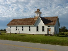
Block
From the record
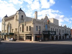
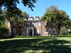
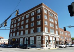
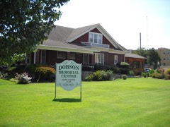
21 National Register listings published here.
Sources: the National Register database, National Park Service
33 topographic sheets and 32 fire insurance atlases across 6 places.
21 National Register listings published here.
Sources: the National Register database, National Park Service
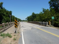
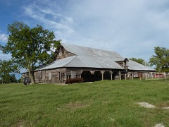
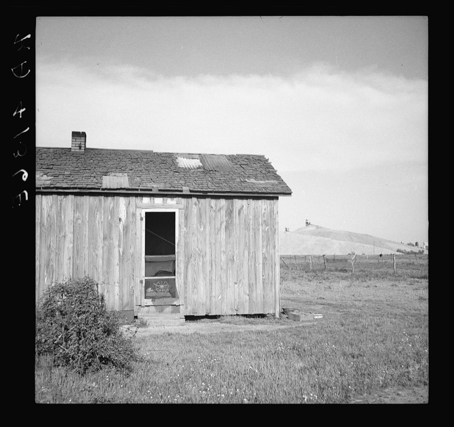
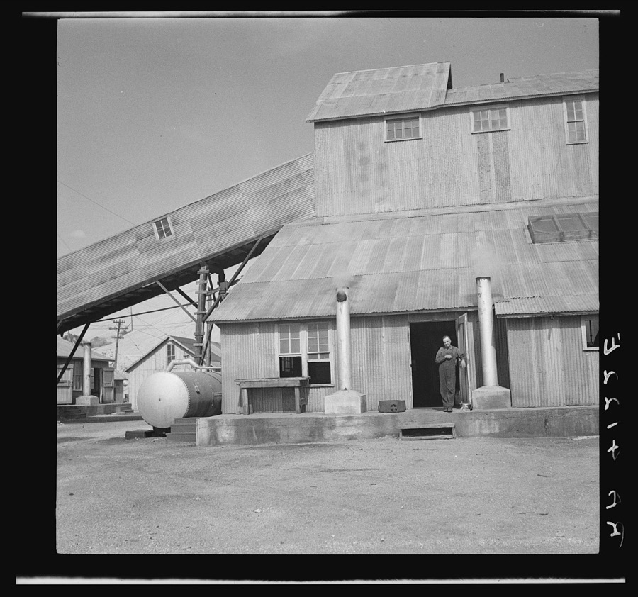
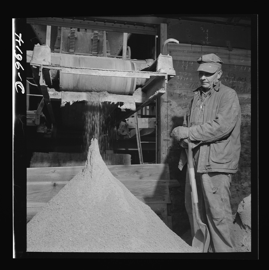
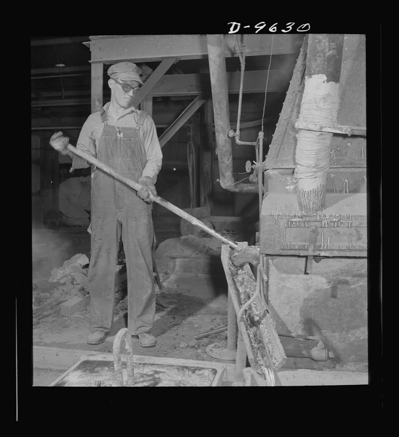
Taken for the Office of War Information and the Farm Security Administration, who photographed the country between 1935 and 1944. Works of United States government photographers, with no known restriction on use. Each opens its catalogue record.
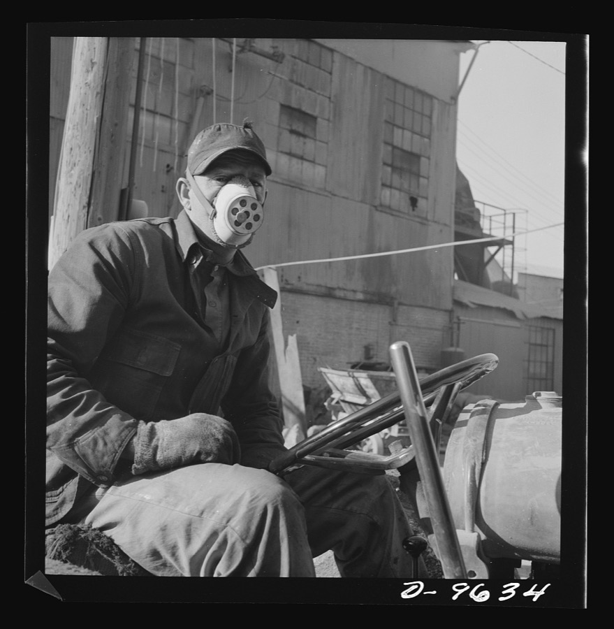
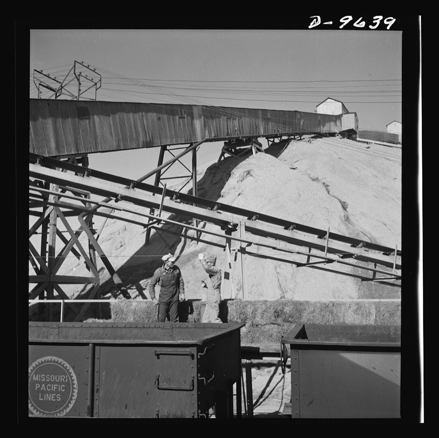
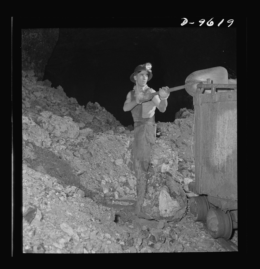
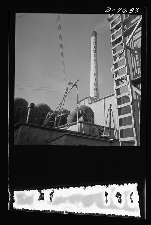
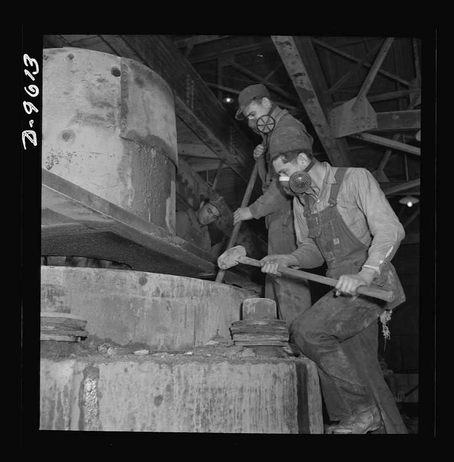
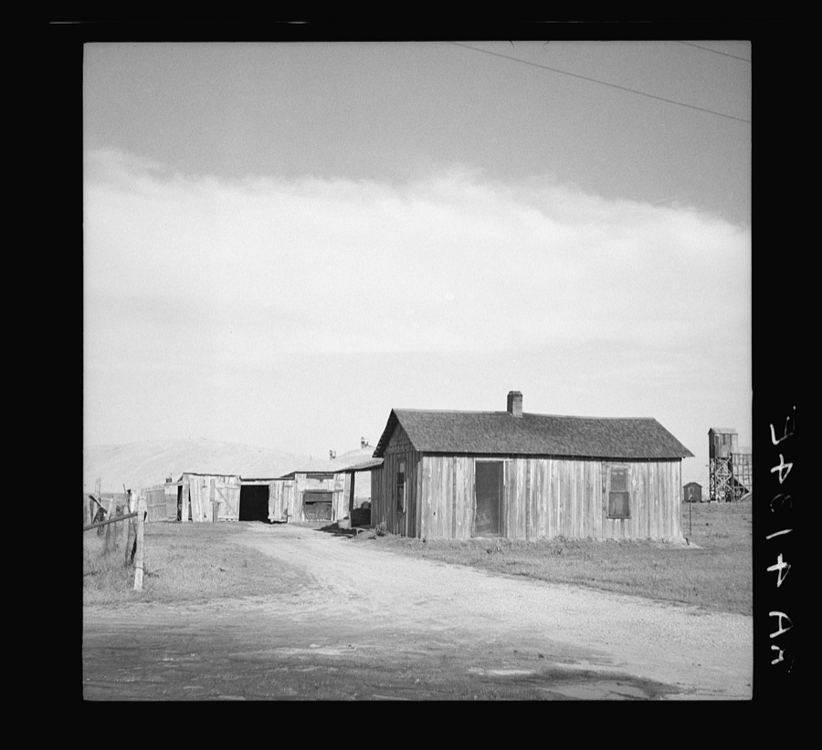
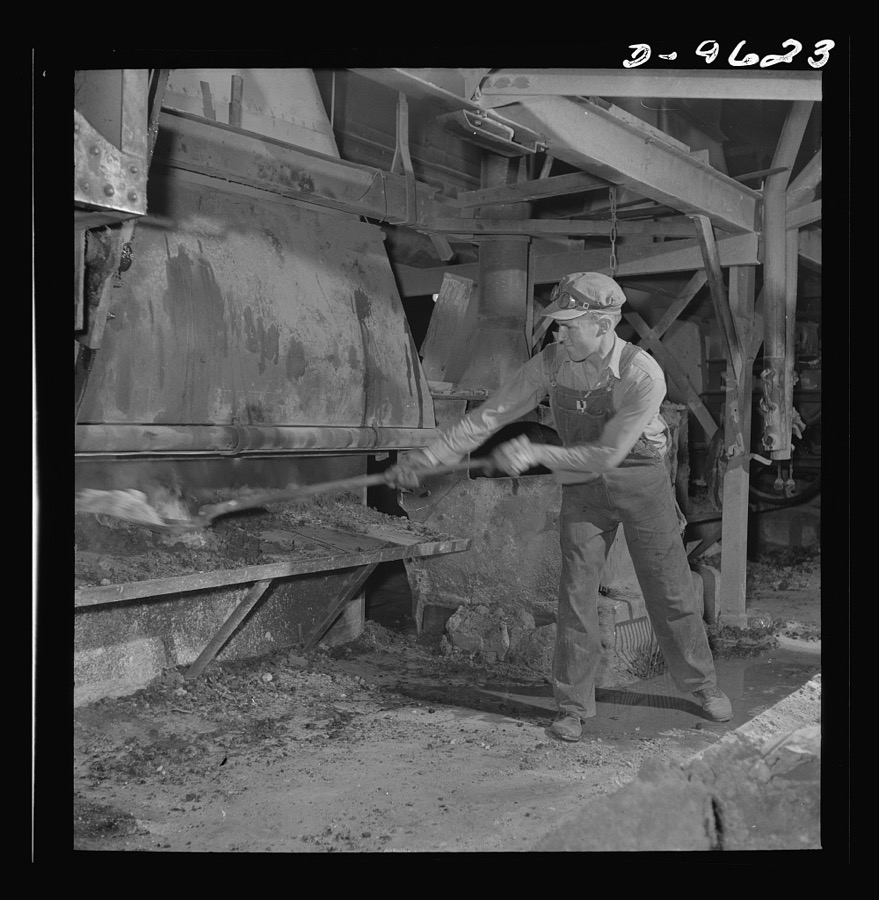
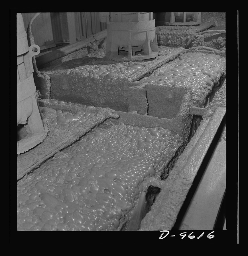
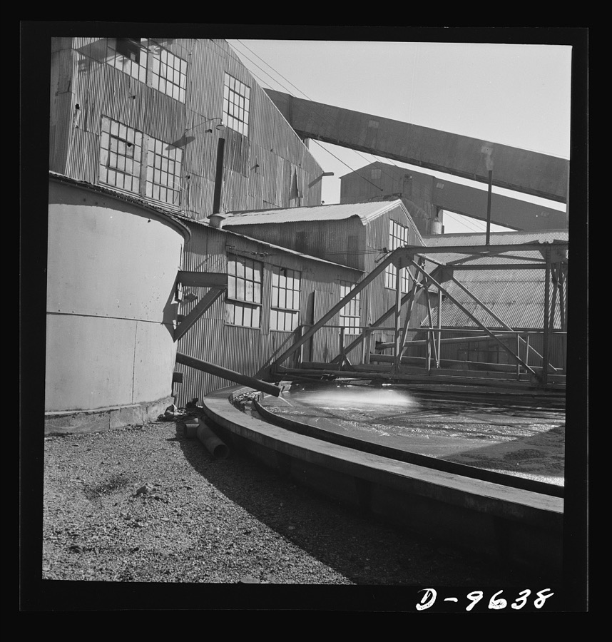
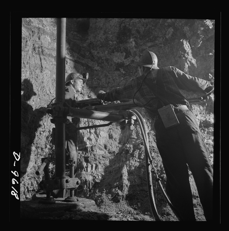
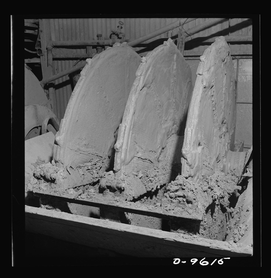
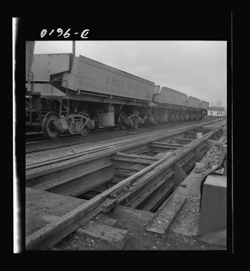
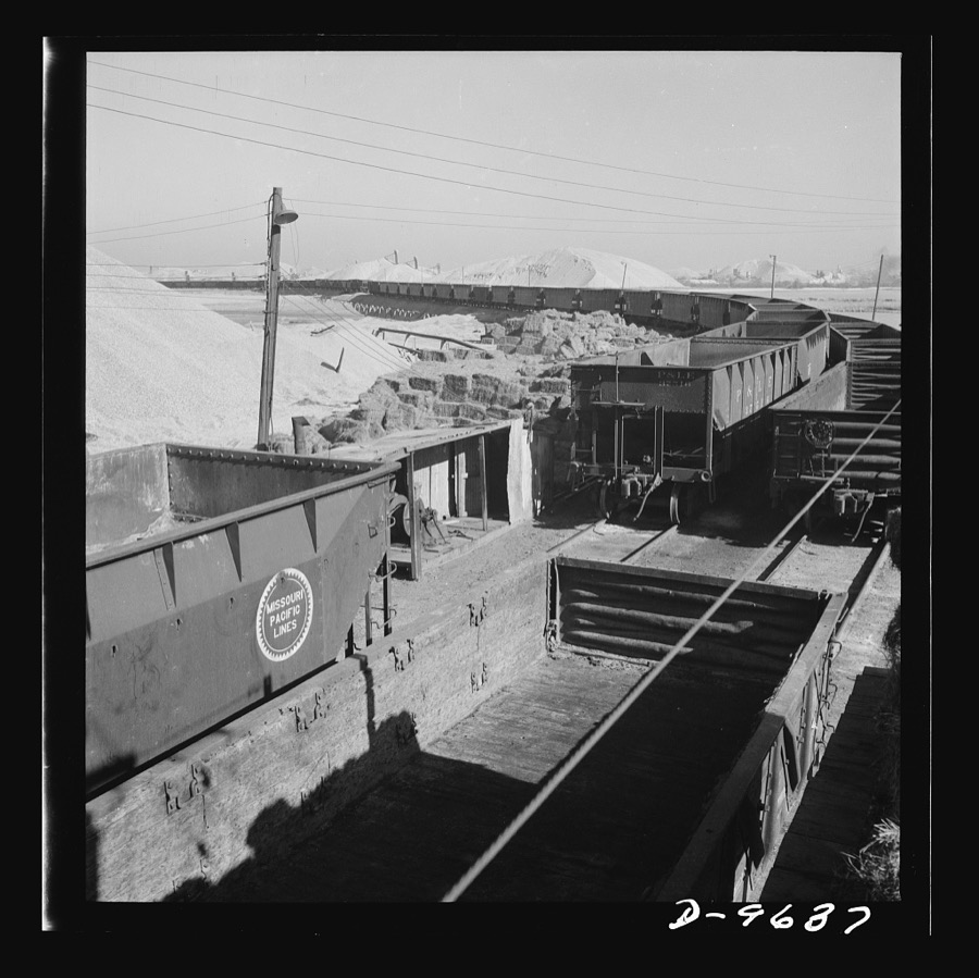
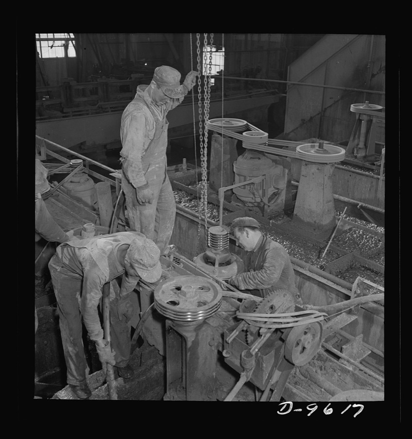
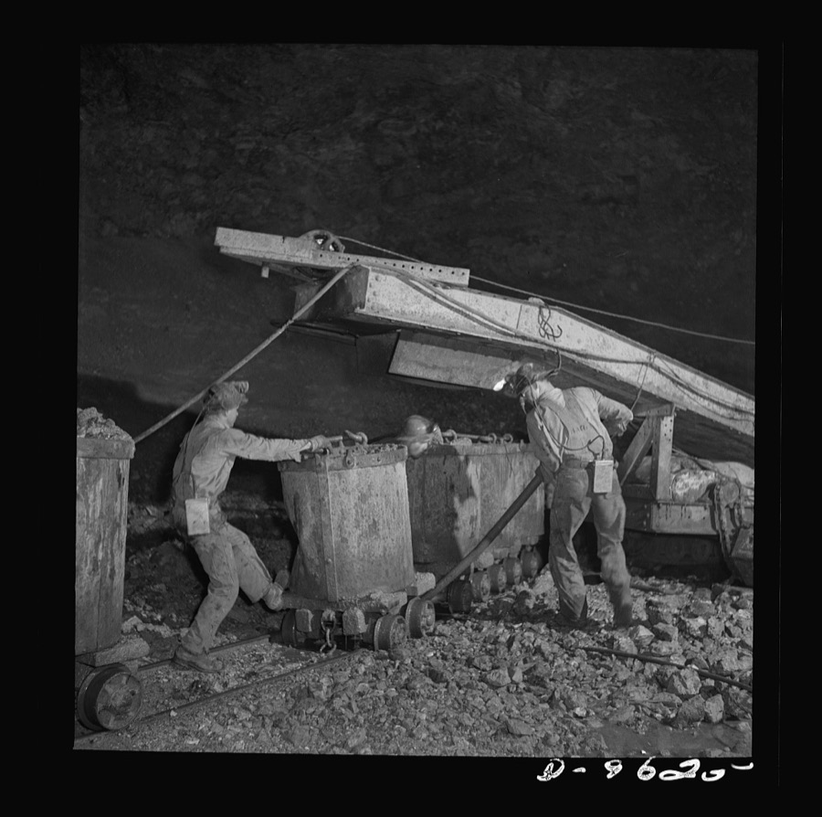
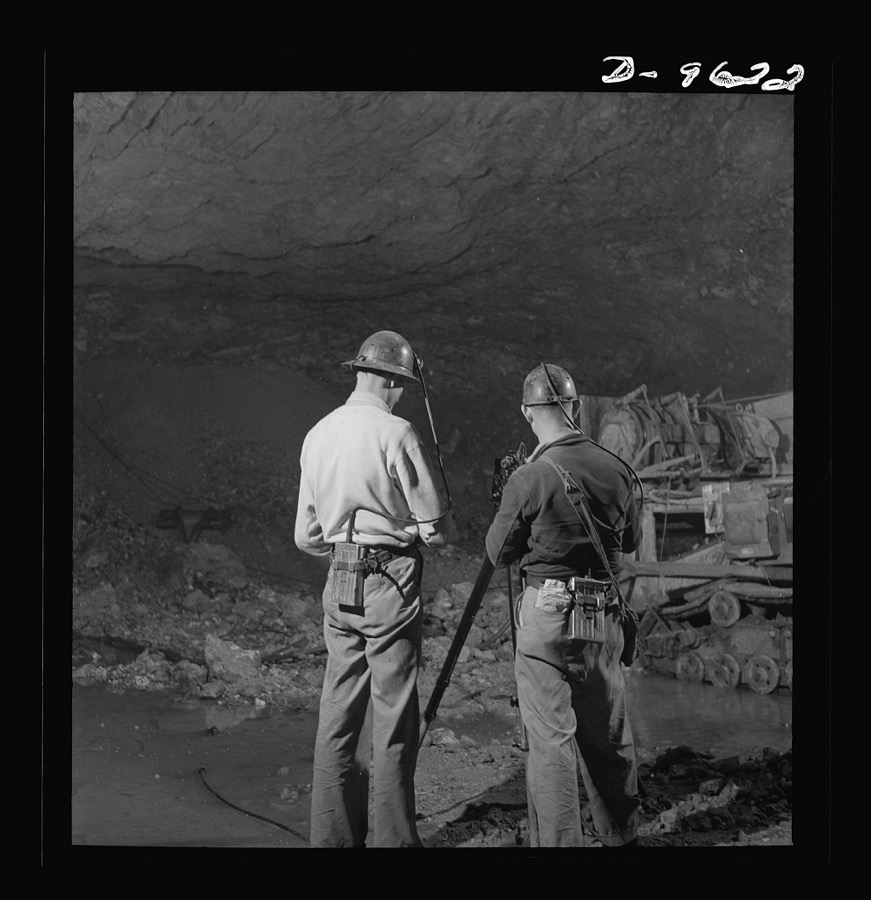
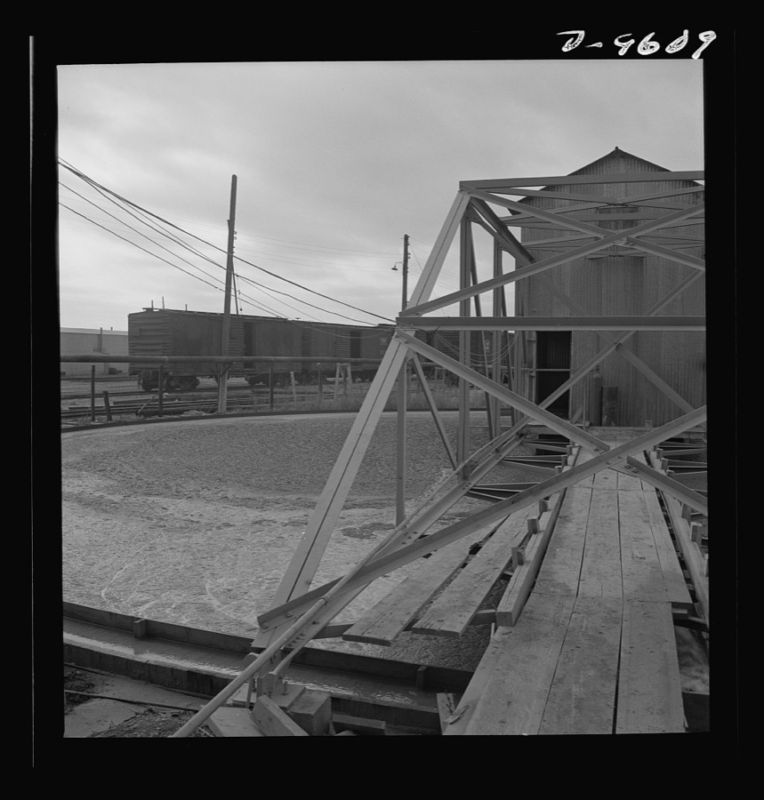
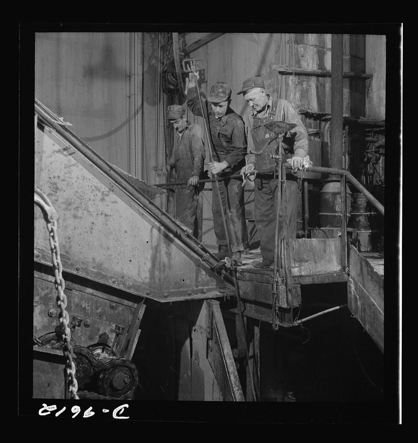
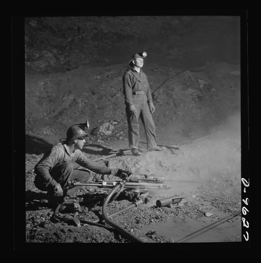
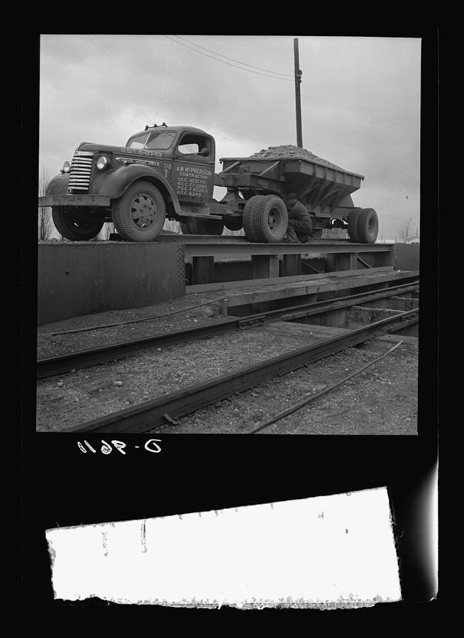
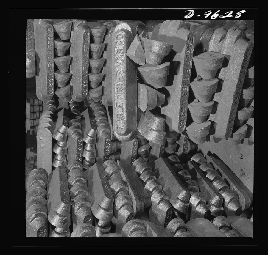
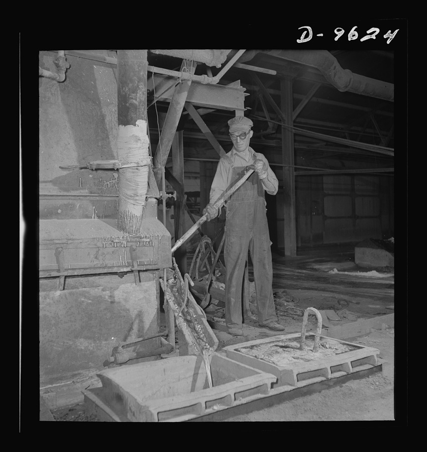
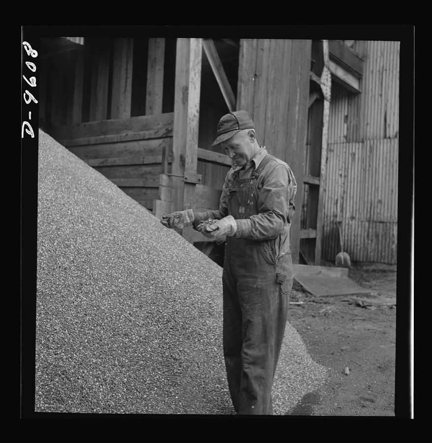
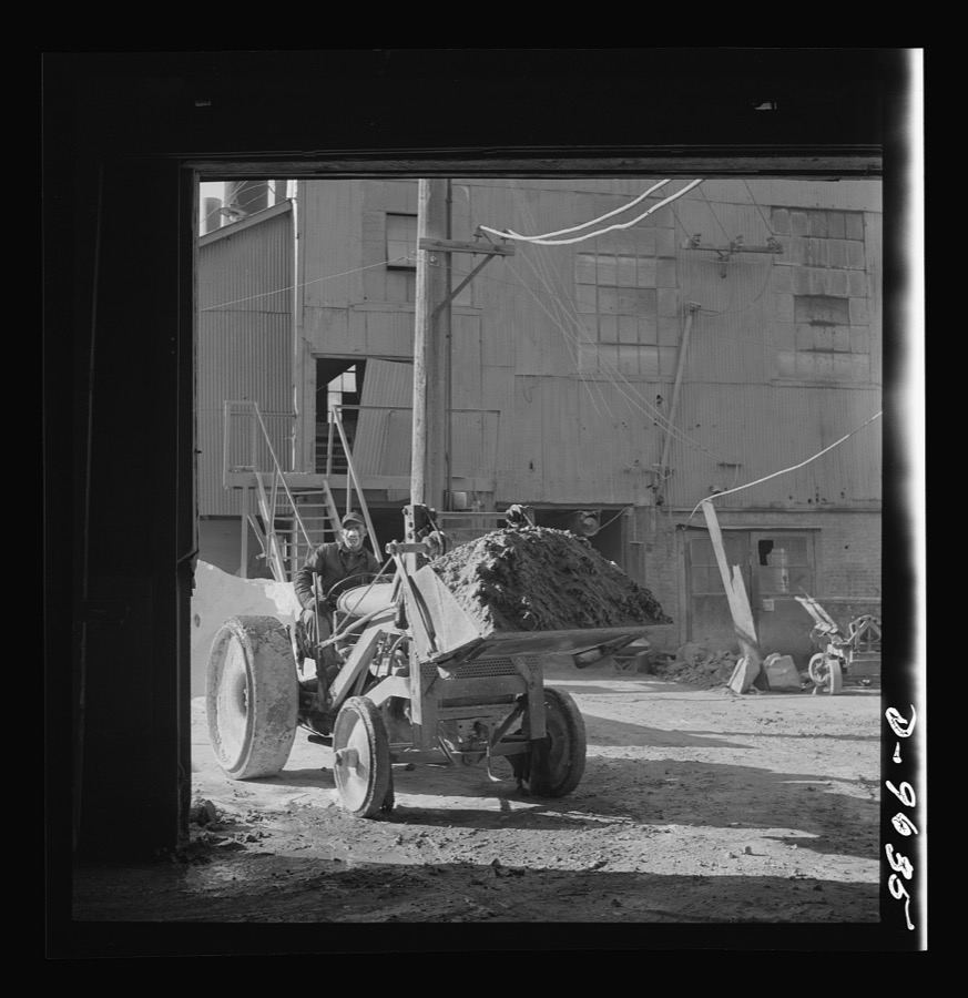
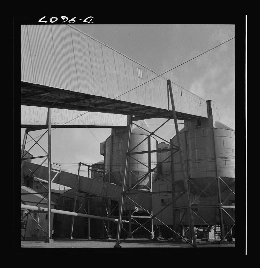
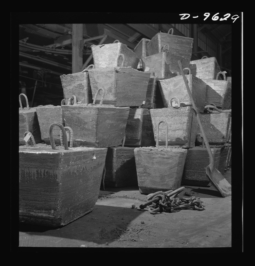
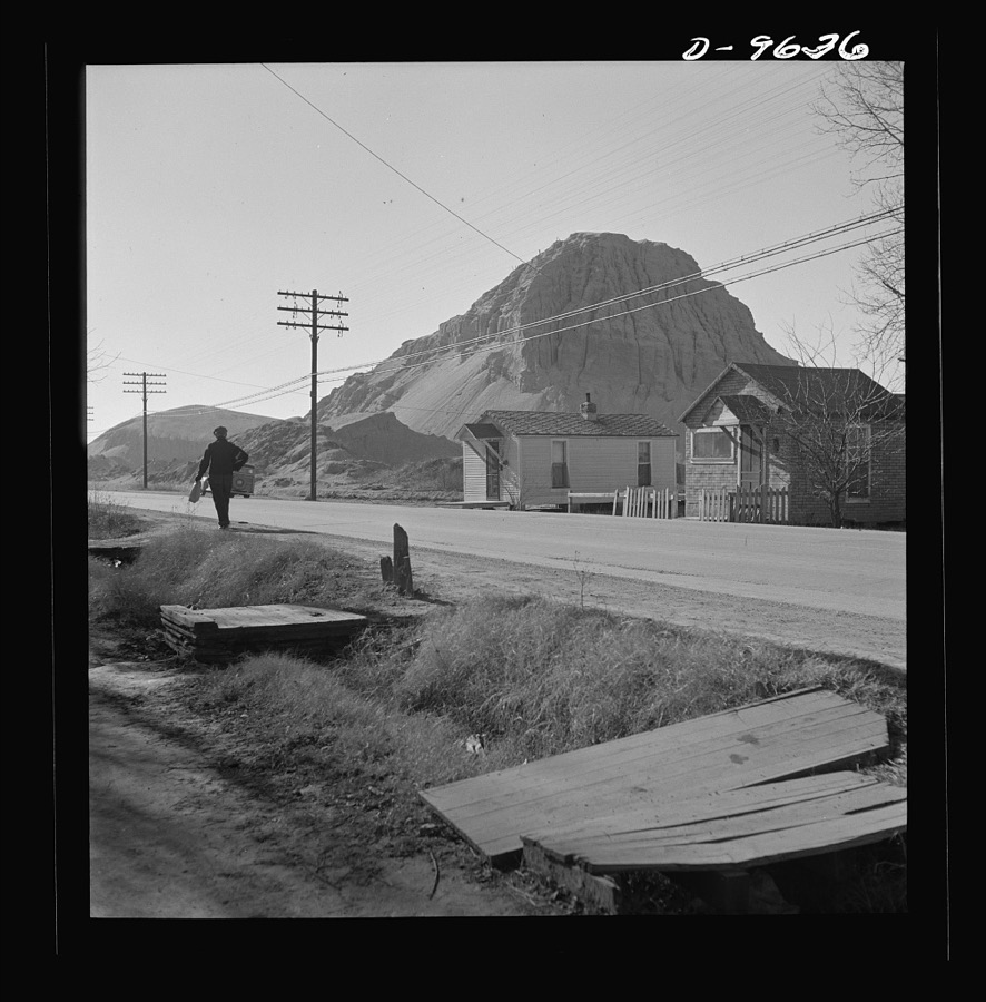
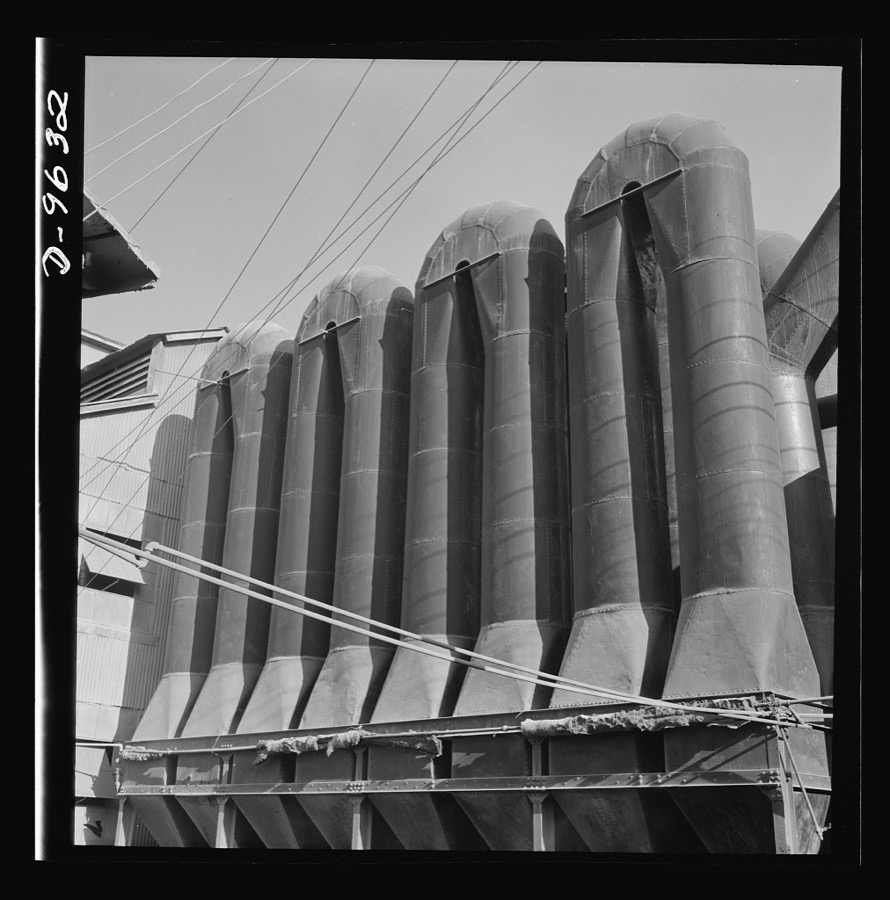
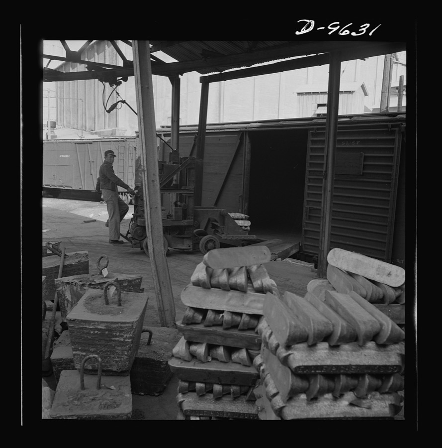
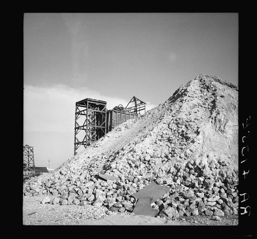
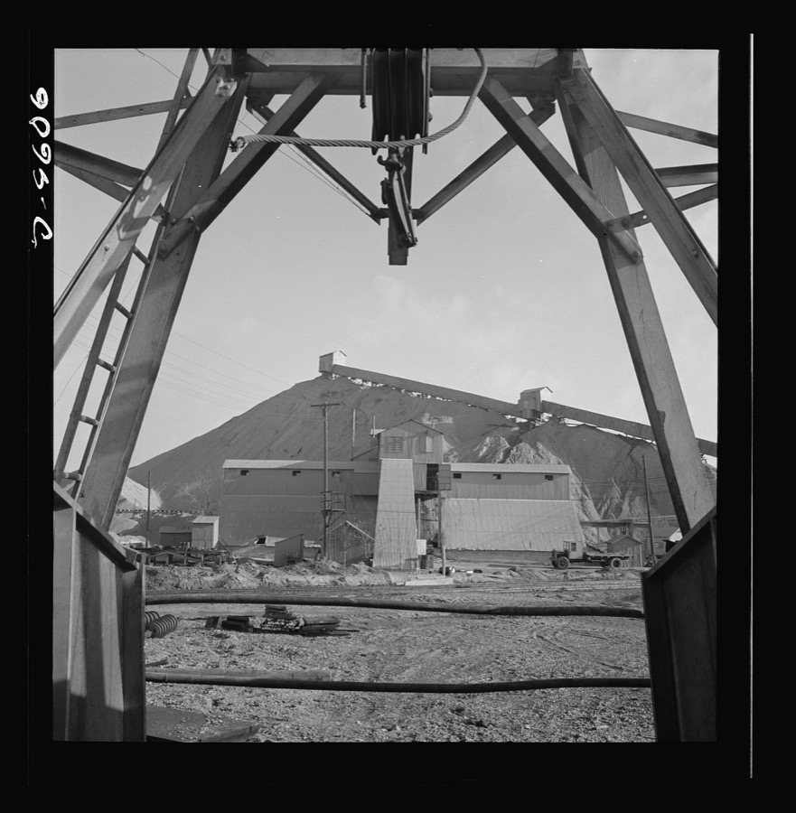
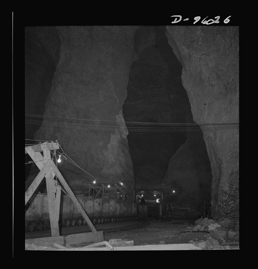
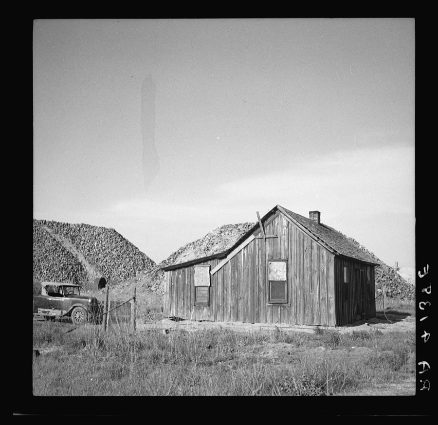
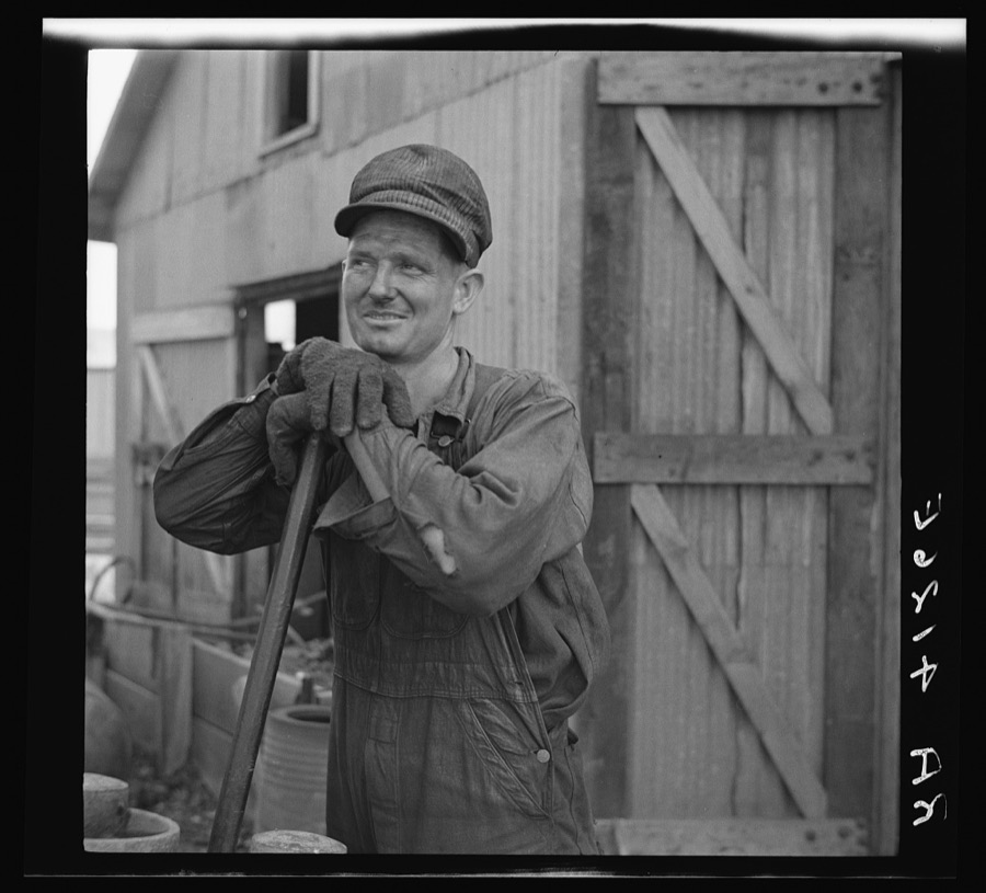
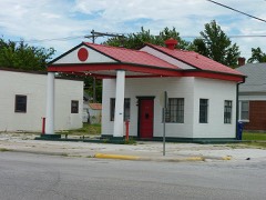
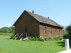
Every property in this county listed on the National Register of Historic Places, with the year it was listed and the federal nomination document.
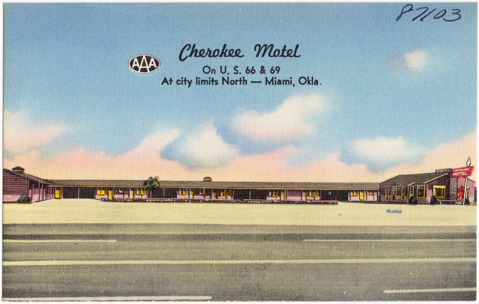
Selected from the Digital Public Library of America's 1 image records catalogued for this county. Every one shown here carries a public-domain status or a licence that permits reuse on a site that carries advertising; non-commercial, share-alike and restricted images are excluded. The selection is spread across the county's towns (at most eight per town), so no single institution's bulk upload crowds out the rest. Each opens the holding library's record, and the complete set at the Digital Public Library of America is one click away.
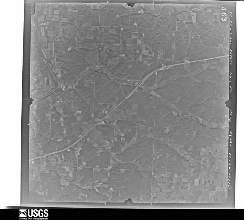
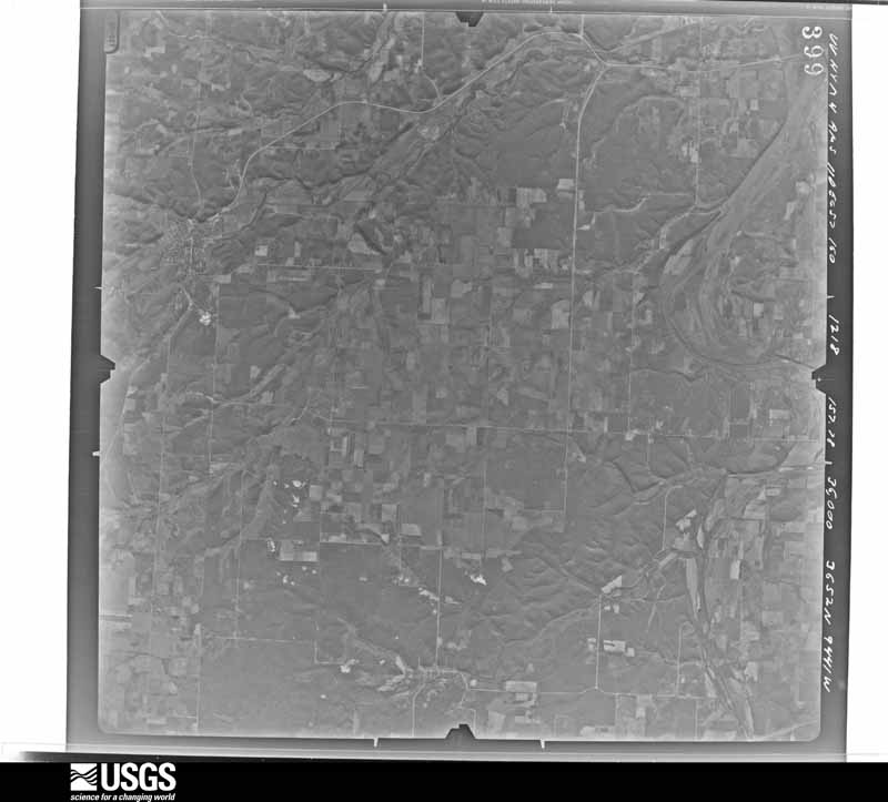
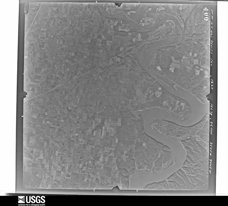
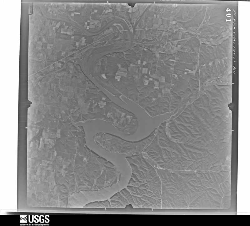
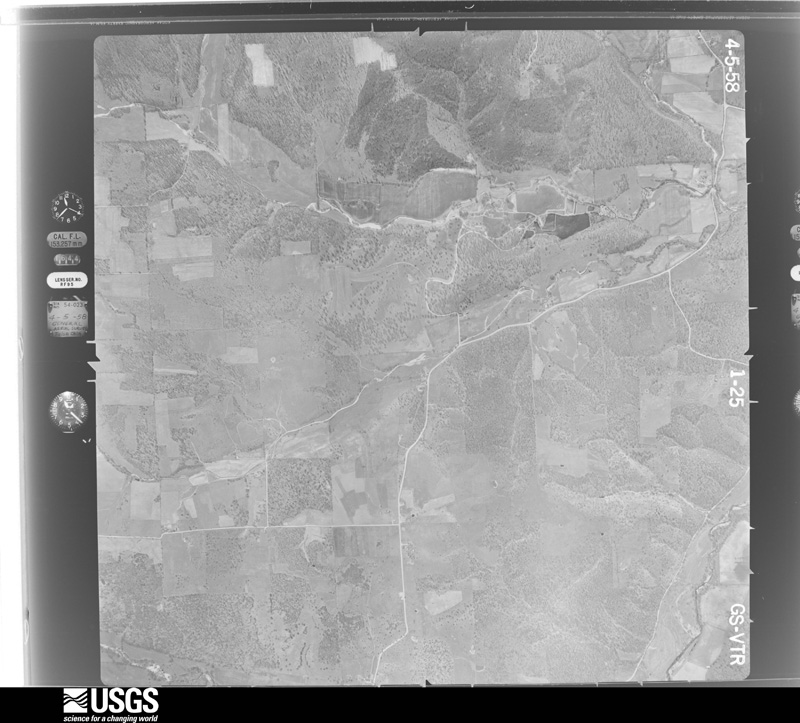
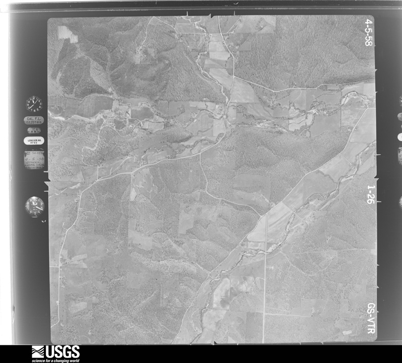
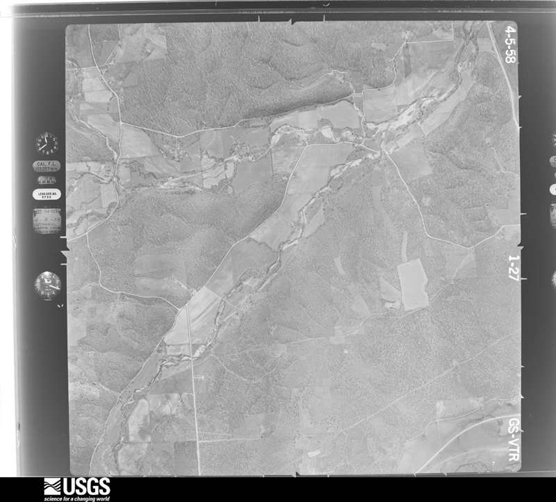
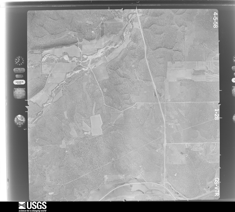
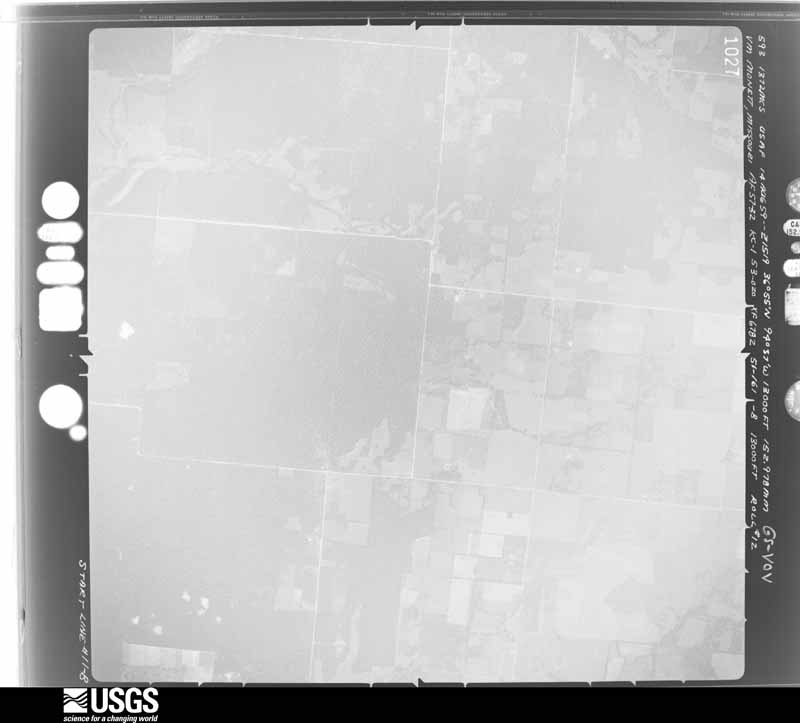
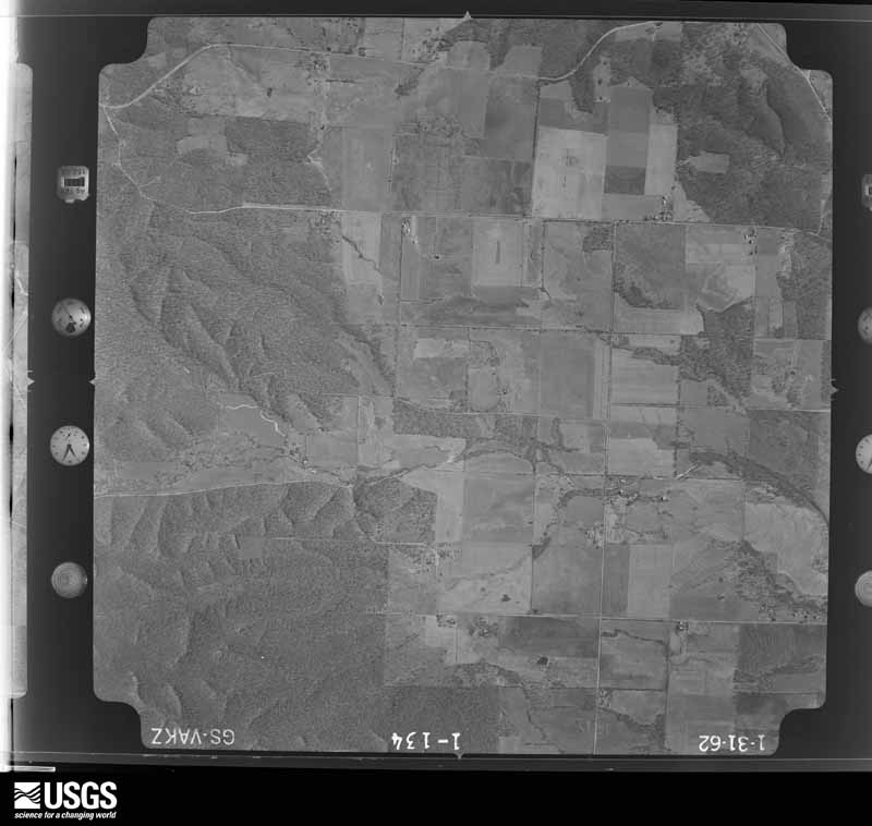
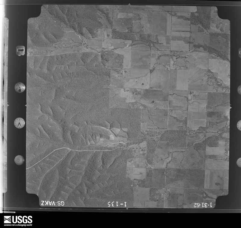
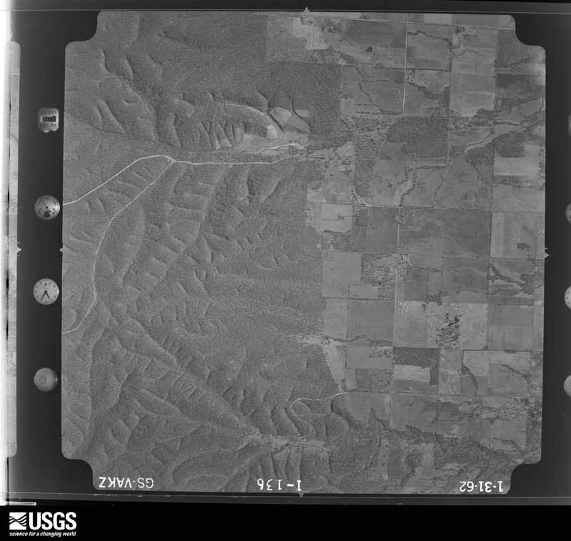
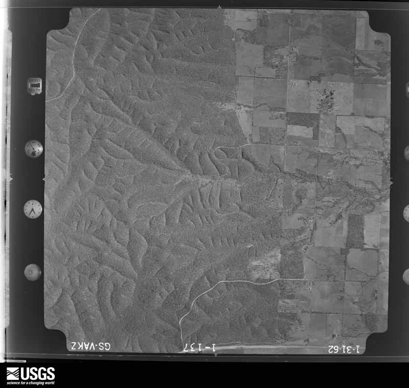
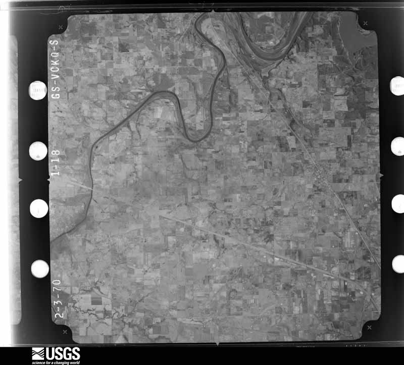
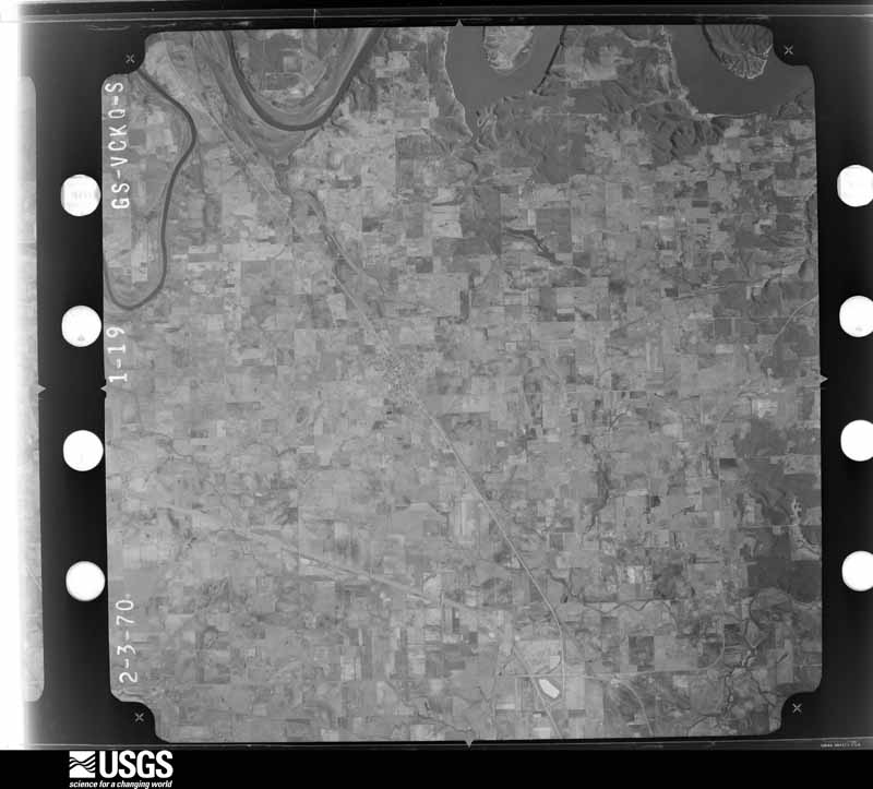
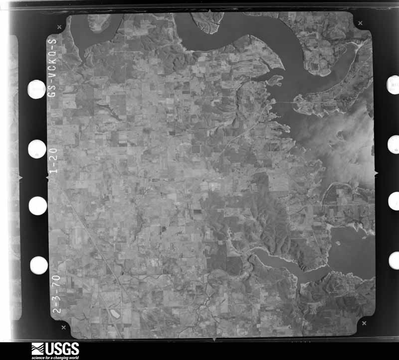
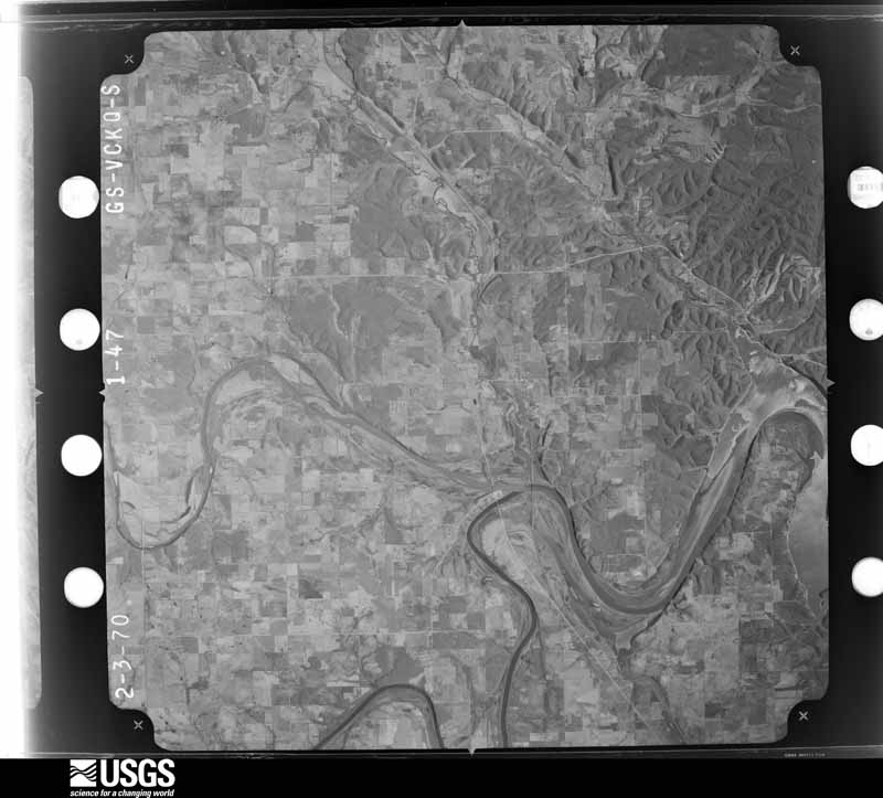
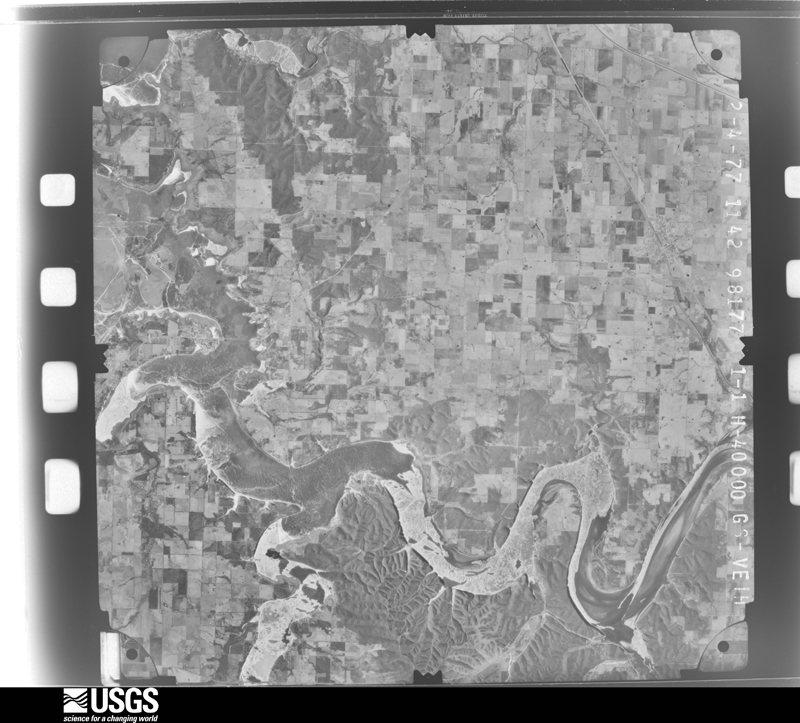
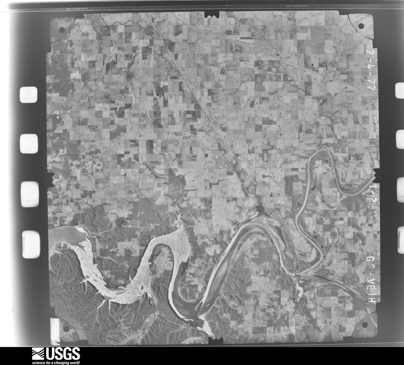
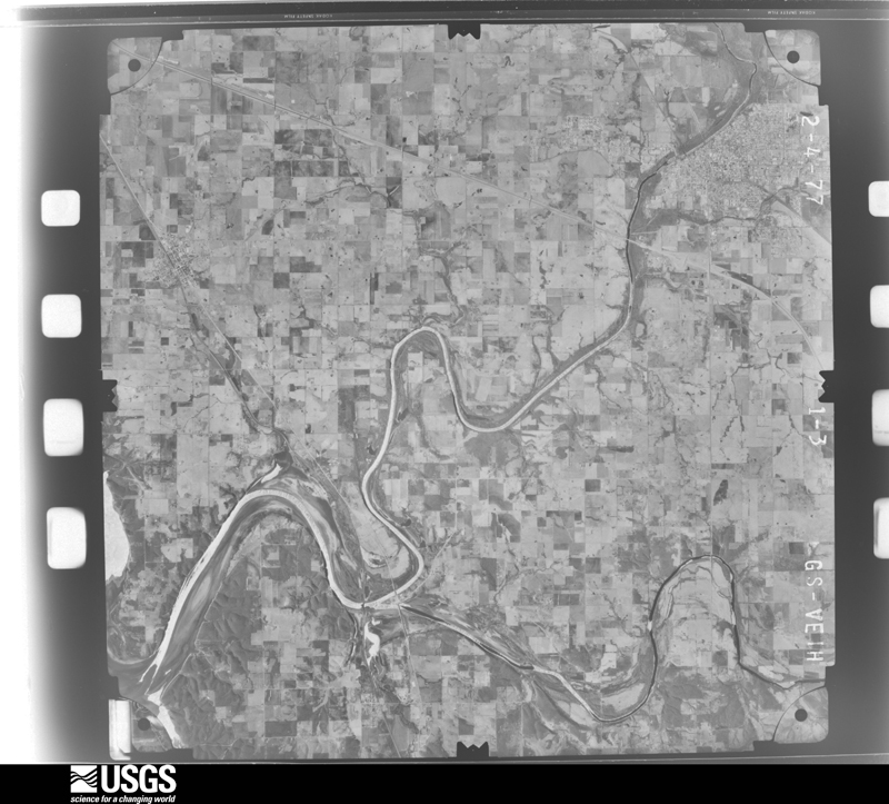
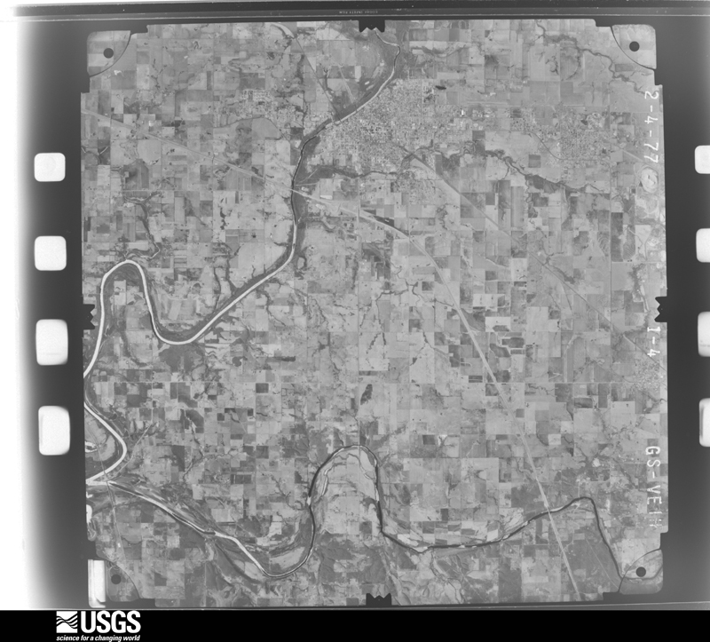
Flown by the U.S. Geological Survey between 1937 and 1989, the Aerial Photo Single Frames collection is the definitive mid-century view of the land: fields, roads and rivers as the camera saw them. The Survey holds 632 frames inside the rectangle that bounds this county; the 21 frames below were taken over the county itself, chosen across the decades of flights (at most four a year from that rectangle), so one flight cannot crowd out the rest. The full set is free to browse and download at EarthExplorer under the dataset Aerial Photo Single Frames.
The thermometers that kept this county's weather, and the gages that measured the flow of its streams, as the federal records hold them. The extremes below are measured values from those records, not estimates.
Who lived here in 1950, one enumeration district at a time, as the Census Bureau described each district. Each row opens its official National Archives result, with Population Schedules and ED Maps available there.
Every wildfire the federal occurrence database records inside this county: 684 of them, burning about 25,297 acres. 143 started naturally and 156 were recorded as arson. Each settlement page carries the fires within five miles of it.
| Reported cause | Fires |
|---|---|
| Debris and open burning | 192 |
| Arson/incendiarism | 156 |
| Missing data/not specified/undetermined | 149 |
| Natural | 143 |
| Equipment and vehicle use | 29 |
| Smoking | 5 |
| Other causes | 5 |
| Power generation/transmission/distribution | 1 |
| Fireworks | 1 |
| Railroad operations and maintenance | 1 |
| Misuse of fire by a minor | 1 |
| Recreation and ceremony | 1 |
The five largest, by the area the report gives. Three of them were set deliberately.
| Date | Cause | Size | Reported by | Name on the report |
|---|---|---|---|---|
| 28 November 2005 | Missing data/not specified/undetermined | 2,580 acres | Oklahoma Division of Forestry | ROPER COVE FIRE |
| 7 April 2001 | Debris and open burning | 1,300 acres | Oklahoma Division of Forestry | not named |
| 1 March 1999 | Arson/incendiarism | 903 acres | Miami Agency | GREENBACK |
| 24 January 2013 | Missing data/not specified/undetermined | 876 acres | Miami Agency | TRIPOLI |
| 28 February 2006 | Arson/incendiarism | 602 acres | Miami Agency | Z CURVE |
| 8 August 2011 | Equipment and vehicle use | 580 acres | Oklahoma Division of Forestry | 30434 |
| 3 February 1992 | Debris and open burning | 562 acres | Miami Agency | GOODEAGLE |
| 6 January 2008 | Arson/incendiarism | 533 acres | Miami Agency | BEAVER RUN |
Every settlement page carries the fires within five miles of it - see the settlement index below.
The NOAA Storm Events Database holds 614 reports for this county, causing 9 deaths, 234 injuries and about $47,698,130 in recorded property damage. Each settlement page carries the reports that name it.
| Kind of event | Reports |
|---|---|
| Hail | 232 |
| Thunderstorm Wind | 206 |
| Flood | 83 |
| Flash Flood | 47 |
| Tornado | 46 |
The most serious of them, by death, then injury, then recorded damage. The accounts are quoted exactly as the forecast office filed them.
| When | Event | Place named | Harm | What the report says |
|---|---|---|---|---|
| May 2008 | Tornado (EF4) | North Miami | 6 killed, 150 hurt, $15,000,000 | This tornado developed at 1620 cst in northeastern Craig County and continued into Ottawa County. The tornado moved rapidly eastward toward the town of Picher where it destroyed about 200 homes, killed six people, and injured another 150 people at about 540 pm. Damage in and around Picher was rated EF-4 on the Enhanced Fujita Scale. ||The tornado began moving more southeasterly near Picher and struck the north side of Quapaw. While this tornado was beginning to weaken east of Quapaw, the supercell produced another tornado a few miles east-northeast of Quapaw that merged with this tornado just east of I-44. After the merger of the two tornadoes, a single tornadic circulation reintensified and became about a mile wide for several miles before moving into Newton County MO. |
| April 2014 | Tornado (EF2) | Commerce | 1 killed, 12 hurt, $3,000,000 | A tornado damaged or destroyed about 50 homes and businesses in and around Quapaw, destroyed several metal-framed buildings, destroyed barns and outbuildings, blew over several vehicles, snapped or uprooted numerous trees, and blew down numerous power poles. At least twelve people were injured in Quapaw from the tornado and one fatality occurred when a brick wall fell onto a vehicle that was parked along side it. Based on this damage, maximum estimated wind in the tornado was 115 to 125 mph. The tornado continued into Cherokee County, Kansas, where it destroyed homes and businesses in Baxter Springs and injured about two dozen people there. |
| September 2012 | Thunderstorm Wind | Miami | 1 killed, $25,000 | Strong thunderstorm wind blew a tractor trailer over a concrete retaining wall on I-44, resulting in the death of the driver. |
| July 2004 | Thunderstorm Wind | Picher | 1 killed, $20,000 | Thunderstorm winds estimated at 70 miles an hour blew a tree down onto a mobile home. The tree landed on a 6 year old girl who was in bed. The girl died from the injuries. |
| April 1956 | Tornado (F4) | not stated | 46 hurt, $250,000 | no account filed |
| September 1973 | Tornado (F3) | not stated | 14 hurt, $250,000 | no account filed |
| January 1967 | Tornado (F2) | not stated | 6 hurt, $25,000 | no account filed |
| May 2011 | Flash Flood | Miami | 4 hurt, $50,000 | Extensive flooding was reported in and around the City of Miami. Portions of Highway 10 and Alternate Highway 69 were flooded and closed. At least four motorists had to be rescued after they became stranded in flood water. A couple homes were damaged by flood water in the city. |
| May 2015 | Tornado (EF1) | Fairland | 1 hurt, $125,000 | This tornado developed just south of the E 230 Road and moved north-northeast destroying a mobile home, destroying several outbuildings, and snapping or uprooting trees. As the tornado approached the E 190 Road near the S 600 Road, it turned more to the northeast. Numerous trees were snapped or uprooted, a home was damaged, and outbuildings were damaged between the E 190 Road and Grand Lake. After moving over Grand Lake, the tornado damaged chicken houses and snapped or uprooted trees before dissipating east of Highway 10 near the E 160 Road. Based on this damage, maximum estimated wind in the tornado was 95 to 105 mph. |
| September 2012 | Thunderstorm Wind | Miami | 1 hurt, $25,000 | Strong thunderstorm wind blew over a tractor trailer on I-44, injuring its driver. |
| July 2007 | Flood | Commerce | $20,000,000 | The Neosho River near Commerce rose above its flood stage of 15 feet at 4:15 am CDT on June 29. The river crested at 29.25 feet at midnight CDT July 5. The river fell below its flood stage at 2:15 am CDT on July 9.||The flooding reached the major category and was near record levels. Disastrous flooding occurred in nearby Miami. Approximately 2500 residents were evacuated and 574 structures were inundated with water. Some buildings had up to 3 feet of water in them and approximately 148 homes and businesses were damaged to the degree that they were not given permission to renovate. All highways except for one and approximately 40 streets in Miami were closed due to high water causing limited access into and out of the city. |
| April 1980 | Tornado (F3) | not stated | $2,500,000 | no account filed |
| May 2013 | Tornado (EF2) | Ottawa | $1,000,000 | This tornado snapped or uprooted numerous trees and damaged numerous homes. It moved east-northeast for several miles but turned more easterly after crossing the Neosho River. The most significant damage occurred as the tornado crossed Highway 137, where a metal building and several homes were severely damaged. Many hardwood trees were also snapped above the ground in that area. Based on this damage, maximum estimated wind in the tornado was 115 to 125 mph. |
| May 2003 | Hail | Miami | $1,000,000 | Baseball sized hail caused significant damage to about 160 cars at an automobile dealership. Cars and house roofs near the dealership also likely sustained damage. |
| May 2003 | Tornado (F1) | Narcissa | $250,000 | An F1 tornado occurred in central Ottawa county from south of Narcissa to northeast of Fairland. No injuries or fatalities occurred; however, significant damage was observed. Two mobile homes were destroyed and several other homes, barns and outbuildings were damaged. The tornado ended when another supercell thunderstorm moving northeast out of Delaware county collided with it. The storm reorganized and later produced the Pierce City, Missouri tornado. |
| September 1973 | Tornado (F3) | not stated | $250,000 | no account filed |
| May 1960 | Tornado (F2) | not stated | $250,000 | no account filed |
| May 2020 | Hail | Miami | $150,000 | Hail larger than golf ball size damaged vehicles, homes, and businesses. |
| April 2016 | Tornado (EF1) | Peoria | $150,000 | This tornado damaged a home, destroyed outbuildings, destroyed farm equipment, snapped or uprooted numerous trees, and blew down power poles. Based on this damage, maximum estimated wind in the tornado was 90 to 100 mph. |
| April 2015 | Tornado (EF1) | Afton | $150,000 | This is the second segment of a three segment tornado. In Ottawa County, the tornado moved through open country and then crossed Highway 60 where it threw several round hay bales. It destroyed barns and outbuildings, damaged several homes, and snapped or uprooted numerous trees as it crossed the S 510 Road and S 520 Road. Based on this damage, maximum estimated wind in this segment of the tornado was 95 to 105 mph. The tornado continued into Delaware County, Oklahoma. |
| May 2013 | Tornado (EF1) | Wyandotte | $150,000 | This is the first segment of a two segment tornado. In Ottawa County, Oklahoma, this tornado damaged several houses, damaged barns and outbuildings, and snapped or uprooted a number of trees. Based on this damage, maximum estimated wind in the tornado was 100 to 110 mph. The tornado moved in an easterly direction for much of its life cycle but turned more to the northeast as it approached the state line. It continued into Newton County, Missouri, and dissipated on the south side of the town of Seneca. |
| April 1999 | Flash Flood | Countywide | $150,000 | Tar Creek in Miami overflowed flooding 30 homes in the east side of the city. Numerous streets in the city of Miami were closed by high water. |
| May 1999 | Flash Flood | Miami | $110,000 | Several homes had water damage in Miami when Tar Creek overflowed its banks. Residents of the Scotty Court area were evacuated after Tar Creek began rising. The baseball diamond at Northeast Oklahoma A&M was badly damaged when 3 feet of water covered the field. In Commerce, 20 homes and businesses, including city hall, were flooded. In Quapaw, floodwaters entered a nursing home. At Wyandotte, Fairland, and Afton, roads were closed in each of those communities. Up to 20 streets at one time were closed in Miami, particularly north of town. |
| October 2024 | Tornado (EF1) | Fairland | $100,000 | This tornado developed west of the S 560 Road and north of the E 220 Road, where large tree limbs were snapped. The tornado moved northeast and dissipated near Grand Lake, south of the E 170 Road. Several homes were damaged, a number of outbuildings were destroyed, trees were uprooted, and numerous large tree limbs and power poles were snapped in the path. Based on this damage, maximum estimated wind in the tornado was 95 to 105 mph. |
| May 2020 | Hail | Wyandotte | $100,000 | Tennis ball size hail damaged vehicles, homes, and businesses. |
| April 2019 | Tornado (EF1) | Narcissa | $100,000 | This tornado developed west of Miami, to the south of Highway 59 and east of the S 510 Road, where large tree limbs were snapped. The tornado moved east-northeast over open country to the north of Highway 59, and then northeast across Miami where it damaged numerous homes and businesses, uprooted trees, and snapped power poles. The tornado dissipated before reaching Highway 69A on the northeast side of town to the south of the E 70 Road. It was observed by multiple people. Based on the damage, maximum estimated wind in the tornado was 85 to 95 mph. |
| June 2023 | Thunderstorm Wind | Miami | $85,000 | Strong thunderstorm wind blew the roof off a commercial building, and snapped numerous large tree limbs. At least $35,000 in damage occurred across Ottawa County from debris removal and damage to the utility infrastructure during this severe thunderstorm. |
| May 2024 | Hail | Miami | $75,000 | Golf ball size hail damaged homes, businesses, and vehicles. |
| August 2024 | Thunderstorm Wind | Quapaw | $75,000 | Strong thunderstorm wind damaged the roof of the elementary school, blew HVAC units from the roof of the high school, damaged windows and buses, and blew down trees and power poles. The damage delayed the start of the school year for the district. |
| January 2023 | Tornado (EF1) | Fairland | $75,000 | This brief tornado developed near the 560 Road, south of the 210 Road, where several outbuildings were damaged or destroyed, and large tree limbs were snapped. The tornado moved northeast and uprooted trees, before dissipating prior to reaching the 210 Road. Based on this damage, maximum estimated wind in the tornado was 90 to 95 mph. |
| May 2019 | Tornado (EF1) | North Miami | $75,000 | This is the first segment of a two-segment tornado. In Ottawa County, this large tornado developed southwest of the E 40 Road and S 530 Road intersection. It moved northeast damaging a few homes, destroying outbuildings, snapping or uprooting trees, and snapping power poles. Based on this damage, maximum estimated wind in this segment of the tornado was 95 to 105 mph. This tornado was observed by multiple people, and it produced a radar-detected debris signature. The tornado continued into Cherokee County, Kansas. |
| August 2019 | Thunderstorm Wind | Ogeechee | $75,000 | Strong thunderstorm wind blew down trees, some of which fell onto homes. |
| March 2008 | Tornado (EF1) | Wyandotte | $75,000 | A tornado severely damaged the roofs of several homes, broke glass windows out of several homes, damaged or destroyed several barns, snapped and uprooted a number of trees, and damaged power poles. This tornado moved into Newton County, Missouri south of Seneca. |
| April 1996 | Thunderstorm Wind | Cardin/Picher/Quapaw | $70,000 | no account filed |
| January 1998 | Thunderstorm Wind | Fairland | $60,000 | Ten homes/businesses with minor damage. Three businesses with major roof and structural damage. Winds were estimated at 90 to 100 miles an hour. |
| April 1996 | Thunderstorm Wind | Picher | $60,000 | no account filed |
| May 2024 | Hail | Fairland | $50,000 | Golf ball size hail damaged homes, businesses, and vehicles. |
| May 2024 | Tornado (EF1) | Narcissa | $50,000 | This tornado developed west of the S 520 Road and south of the E 130 Road. It moved east-northeast across Highway 69, then appeared to briefly move to the southeast, and then back to the east as it moved generally along the E 130 Road to where it likely dissipated, east of E St SW. Numerous trees were uprooted, a few homes were damaged, and an outbuilding was destroyed. Storm chasers observed this tornado. Based on this damage, maximum estimated wind in the tornado was 90 to 100 mph. |
| May 2024 | Tornado (EF0) | North Miami | $50,000 | This is the first segment of a two-segment tornado. This tornado developed south of the E 30 Road and moved northeast, uprooting some trees, and destroying several outbuildings before crossing into Cherokee County, KS, near the S 510 Road. Based on this damage, maximum estimated wind in this segment of the tornado was 70 to 80 mph. |
| May 2019 | Flash Flood | Afton | $50,000 | Roads in and around Afton were flooded, and high water flooded buildings. |
| March 2008 | Thunderstorm Wind | Miami | $50,000 | Thunderstorm winds estimated at 80 miles an hour lifted the roof off a bus barn. The roof landed on a home. |
| April 2001 | Thunderstorm Wind | Afton | $50,000 | Thunderstorm winds estimated in excess of 60 mile an hour blew off parts of the roof of the Afton elementary school. The winds also blew the roof off several outbuildings. |
| April 1996 | Tornado (F1) | Fairland | $50,000 | no account filed |
| May 2024 | Hail | Ottawa | $40,000 | Ping pong ball size hail damaged homes and vehicles. |
| May 2000 | Flash Flood | Miami | $40,000 | Heavy rains caused 4 homes to be flooded and a few roads to be closed in Miami. |
| October 2024 | Thunderstorm Wind | Afton | $35,000 | Strong thunderstorm wind destroyed several outbuildings. |
| May 2024 | Tornado (EF1) | Peoria | $30,000 | This tornado developed in a neighborhood off the E 105 Road and moved southeast, dissipating south of the E 110 Road. The tornado damaged several homes and uprooted trees along its path. A Ring camera caught the tornado, as did a number of storm chasers and spotters. Based on this damage, maximum estimated wind in the tornado was 90 to 100 mph. |
| March 2023 | Hail | Miami | $30,000 | Golf ball size hail damaged vehicles and homes. |
| March 2023 | Hail | Miami | $30,000 | Golf ball size hail damaged vehicles, homes, and businesses. |
| April 1999 | Flash Flood | Countywide | $30,000 | Several homes in the Sky Ranch subdivision near Tar Creek were flooded. A newspaper photo showd an in-ground pool that "lost its shape" when grounds became saturated. At least five streets in Miami, including Veterans Boulevard, were closed due to flooding, and a bridge near Cardin was closed. The NEO A&M practice field was under water. |
| October 1998 | Flash Flood | Countywide | $30,000 | In Miami, there was extensive flooding throughout the city. The Neosho River overflowed its banks, flooding Riverview Park and the Miami fairgrounds. Tar Creek overflowed into several homes in the Skyranch subdivision of northeast Miami and caused flooding along Elm Street. OK Hwy 125 was closed for a time west of town.Near Cardin, a stranded motorist had to be rescued when her van stalled in high water. Another motorist had to be rescued from the Tar Creek Bridge when the water level rose quickly over the road. Nearby, an elderly woman had to be evacuated from her home when water flooded her home near the Tar Creek at Cardin. Another woman had to be rescued from her vehicle just east of Commerce. Water had filled all but the top few inches of the passenger compartment. |
| May 2024 | Hail | Wyandotte | $25,000 | Hail slightly larger than golf ball size damaged homes and vehicles. |
| May 2024 | Hail | Miami | $25,000 | Half dollar size hail damaged homes and vehicles. |
| May 2024 | Thunderstorm Wind | Miami | $25,000 | Strong thunderstorm wind damaged several homes. |
| May 2024 | Hail | Afton | $25,000 | Golf ball size hail damaged vehicles and homes. |
| May 2020 | Hail | Fairland | $25,000 | Ping pong ball size hail damaged vehicles and homes. |
| April 2020 | Hail | Quapaw | $25,000 | Golfball size hail damaged vehicles and the roofs of homes. |
| May 2020 | Hail | Miami | $25,000 | Baseball size hail damaged vehicles and homes. |
| August 2019 | Thunderstorm Wind | Miami | $25,000 | Strong thunderstorm wind blew down a tree onto a home. |
| September 2012 | Thunderstorm Wind | Commerce | $25,000 | Strong thunderstorm wind damaged the roof of a home, damaged a brick wall of a building, and blew the roof off of a shop. |
The Survey's mineral resources record lists 178 workings inside this county. 15 still produce and 163 are closed or unrecorded. Each settlement page carries the workings within five miles of it.
| Commodity | Workings |
|---|---|
| Zinc, Lead | 91 |
| Sand and Gravel, Construction | 49 |
| Lead, Zinc | 29 |
| Stone, Crushed/Broken | 5 |
| Clay | 2 |
| Diatomite | 1 |
| Emery | 1 |
The least common of them first, because a county's hundredth gravel pit says nothing its first ten did not.
| Where | Site | Commodity | Status | Recorded |
|---|---|---|---|---|
| American Tripoli Division Pits | Emery | Producer | ||
| Seneca Standard Tripoli Mine | Diatomite | Producer | ||
| Humble Sand Pit | Clay | Producer | ||
| Unknown Shale Pit | Clay | Past Producer | ||
| Central Mill & Semple | Stone, Crushed/Broken | Producer | ||
| Epperson Pit and Plant | Stone, Crushed/Broken | Producer | ||
| Unknown Limestone Pit | Stone, Crushed/Broken | Past Producer | ||
| Unknown Limestone Pit | Stone, Crushed/Broken | Past Producer | ||
| Unknown Limestone Pit | Stone, Crushed/Broken | Past Producer | ||
| Bennie Mine | Lead, Zinc | Past Producer | 1916, 1919 | |
| Blue Ribbon and Lucky Jenny Mine | Lead, Zinc | Past Producer | 1917, 1919 | |
| Campbell Mine | Lead, Zinc | Past Producer | 1925, 1928 | |
| Consolidated Mine | Lead, Zinc | Past Producer | 1916, 1919 | |
| Cortez Mine | Lead, Zinc | Past Producer | 1916, 1919 | |
| Crawford-Holder | Lead, Zinc | Past Producer | 1922, 1924 | |
| Davenport Mine | Lead, Zinc | Past Producer | 1917, 1919 | |
| Eudora Whitebird | Lead, Zinc | Past Producer | 1915, 1919 | |
| Gee-Sah Quapaw Allotment | Lead, Zinc | Past Producer | 1916, 1919 | |
| Hunt Mine | Lead, Zinc | Past Producer | 1916, 1919 | |
| Laura Jenny Zheka Mine | Lead, Zinc | Past Producer | 1917, 1920 | |
| Lost Trail | Lead, Zinc | Past Producer | 1925, 1927 | |
| Lucky Bill Mine | Lead, Zinc | Past Producer | 1916, 1919 | |
| Lucky Syndicate | Lead, Zinc | Past Producer | 1916, 1918 | |
| Melrose | Lead, Zinc | Past Producer | ||
| Mission Mine | Lead, Zinc | Past Producer | 1917, 1919 | |
| Mudd Mine | Lead, Zinc | Past Producer | 1925, 1927 | |
| Picher | Lead, Zinc | Past Producer | ||
| Picher Field | Lead, Zinc | Occurrence | 1904 | |
| Ramage | Lead, Zinc | Past Producer | 1915, 1917 | |
| Robert Beaver Allotment | Lead, Zinc | Past Producer | 1915, 1917 | |
| Santa Fe Mine | Lead, Zinc | Past Producer | 1919, 1921 | |
| Scammon Hill Mine | Lead, Zinc | Past Producer | 1918, 1920 | |
| Skelton Mine | Lead, Zinc | Past Producer | 1916, 1918 | |
| Slim Jim Allotment | Lead, Zinc | Past Producer | 1915, 1917 | |
| St. Louis | Lead, Zinc | Past Producer | 1919, 1922 | |
| Unknown Lead-Zinc Mine | Lead, Zinc | Past Producer | ||
| Unknown Lead-Zinc Mine | Lead, Zinc | Past Producer | ||
| Wes-Ah Greenback Mine | Lead, Zinc | Past Producer | 1916, 1918 | |
| Bingham Sand & Gravel Gravel Pit | Sand and Gravel, Construction | Producer | ||
| Blue Goose | Sand and Gravel, Construction | Producer | ||
| Bryan Chat Company Gravel Pit | Sand and Gravel, Construction | Producer | ||
| Dale Epersons Trucking Gravel Pit | Sand and Gravel, Construction | Producer | ||
| Eagle-Picher Mining Co Gravel Pit | Sand and Gravel, Construction | Producer | ||
| Earnie Graham Chat Co Gravel Pit | Sand and Gravel, Construction | Producer | ||
| Humble Sand | Sand and Gravel, Construction | Producer | ||
| Kunshek Chat Company Gravel Pit | Sand and Gravel, Construction | Producer | ||
| Miami Ready Mix Gravel Pit | Sand and Gravel, Construction | Producer | ||
| Unknown Gravel Pit | Sand and Gravel, Construction | Past Producer | ||
| Unknown Gravel Pit | Sand and Gravel, Construction | Past Producer | ||
| Unknown Gravel Pit | Sand and Gravel, Construction | Past Producer | ||
| Unknown Gravel Pit | Sand and Gravel, Construction | Past Producer | ||
| Unknown Gravel Pit | Sand and Gravel, Construction | Producer | ||
| Unknown Gravel Pit | Sand and Gravel, Construction | Past Producer | ||
| Unknown Gravel Pit | Sand and Gravel, Construction | Past Producer | ||
| Unknown Gravel Pit | Sand and Gravel, Construction | Past Producer | ||
| Unknown Gravel Pit | Sand and Gravel, Construction | Past Producer | ||
| Unknown Gravel Pit | Sand and Gravel, Construction | Past Producer | ||
| Unknown Gravel Pit | Sand and Gravel, Construction | Past Producer | ||
| Unknown Gravel Pit | Sand and Gravel, Construction | Past Producer | ||
| Unknown Gravel Pit | Sand and Gravel, Construction | Past Producer | ||
| Unknown Gravel Pit | Sand and Gravel, Construction | Past Producer | ||
| Unknown Gravel Pit | Sand and Gravel, Construction | Past Producer | ||
| Unknown Gravel Pit | Sand and Gravel, Construction | Past Producer | ||
| Unknown Gravel Pit | Sand and Gravel, Construction | Past Producer | ||
| Unknown Gravel Pit | Sand and Gravel, Construction | Past Producer | ||
| Unknown Gravel Pit | Sand and Gravel, Construction | Past Producer | ||
| Unknown Gravel Pit | Sand and Gravel, Construction | Past Producer | ||
| Unknown Gravel Pit | Sand and Gravel, Construction | Past Producer | ||
| Unknown Gravel Pit | Sand and Gravel, Construction | Past Producer | ||
| Unknown Gravel Pit | Sand and Gravel, Construction | Past Producer | ||
| Unknown Gravel Pit | Sand and Gravel, Construction | Past Producer | ||
| Unknown Gravel Pit | Sand and Gravel, Construction | Past Producer | ||
| Unknown Gravel Pit | Sand and Gravel, Construction | Past Producer | ||
| Unknown Gravel Pit | Sand and Gravel, Construction | Past Producer | ||
| Unknown Gravel Pit | Sand and Gravel, Construction | Past Producer | ||
| Unknown Gravel Pit | Sand and Gravel, Construction | Past Producer | ||
| Unknown Gravel Pit | Sand and Gravel, Construction | Past Producer | ||
| Unknown Gravel Pit | Sand and Gravel, Construction | Past Producer | ||
| Unknown Gravel Pit | Sand and Gravel, Construction | Past Producer | ||
| Unknown Gravel Pit | Sand and Gravel, Construction | Past Producer | ||
| Unknown Gravel Pit | Sand and Gravel, Construction | Past Producer | ||
| Unknown Gravel Pit | Sand and Gravel, Construction | Past Producer | ||
| Unknown Gravel Pit | Sand and Gravel, Construction | Past Producer | ||
| Unknown Gravel Pit | Sand and Gravel, Construction | Past Producer | ||
| Unknown Gravel Pit | Sand and Gravel, Construction | Past Producer | ||
| Unknown Gravel Pit | Sand and Gravel, Construction | Past Producer | ||
| Unknown Gravel Pit | Sand and Gravel, Construction | Past Producer | ||
| Acme Mine | Zinc, Lead | Past Producer | 1915, 1916 | |
| Adams Mine | Zinc, Lead | Past Producer | 1925, 1927 | |
| Admirality | Zinc, Lead | Past Producer | 1918, 1921 | |
| Alice Greenback Mine | Zinc, Lead | Past Producer | 1917, 1919 | |
| Alsbaugh Land | Zinc, Lead | Prospect | 1923 | |
| Aztec | Zinc, Lead | Past Producer | 1918, 1921 | |
| Barbara J. | Zinc, Lead | Past Producer | 1918, 1921 | |
| Beck Mine | Zinc, Lead | Past Producer | 1918, 1922 | |
| Benjamin Quapaw Allotment | Zinc, Lead | Past Producer | 1915, 1918 | |
| Benjamin Quapaw Allotment | Zinc, Lead | Past Producer | 1915, 1918 | |
| Betsy Greenback Mine | Zinc, Lead | Past Producer | 1917, 1919 | |
| Bingham Mine | Zinc, Lead | Past Producer | 1915, 1917 | |
| Blue Bonnett Mine | Zinc, Lead | Past Producer | 1918, 1921 | |
| Blue Goose No. 2 | Zinc, Lead | Past Producer | 1915, 1918 | |
| Bluebird | Zinc, Lead | Past Producer | 1919, 1923 | |
| Buckeye | Zinc, Lead | Past Producer | 1925, 1929 | |
| Bull Frog Mine | Zinc, Lead | Past Producer | 1917, 1919 | |
| Cactus Mine | Zinc, Lead | Past Producer | 1925, 1927 | |
| Century-Beck | Zinc, Lead | Past Producer | 1918, 1923 | |
| Childress Mine | Zinc, Lead | Past Producer | 1916, 1918 | |
| Craig Mine | Zinc, Lead | Past Producer | 1915, 1921 | |
| Crawfish Mine | Zinc, Lead | Past Producer | 1917, 1920 | |
| Crystal Central Mine | Zinc, Lead | Past Producer | 1915, 1917 | |
| Dardene-Hudson Mine | Zinc, Lead | Past Producer | 1916, 1918 | |
| Dobson Tract | Zinc, Lead | Past Producer | 1925, 1940 | |
| Doris | Zinc, Lead | Past Producer | 1915, 1917 | |
| First National | Zinc, Lead | Past Producer | 1915, 1917 | |
| Garrett | Zinc, Lead | Past Producer | 1916, 1919 | |
| George Vallier | Zinc, Lead | Past Producer | 1912 | |
| Golden Hawk Mine | Zinc, Lead | Past Producer | 1915, 1917 | |
| Harrisburg Mine | Zinc, Lead | Past Producer | 1915, 1917 | |
| Hill Land | Zinc, Lead | Prospect | 1923 | |
| Hobart | Zinc, Lead | Past Producer | 1916, 1920 | |
| Howe Mine | Zinc, Lead | Past Producer | 1916, 1918 | |
| Huttig-Beck Mine | Zinc, Lead | Past Producer | 1917, 1919 | |
| Indiana Mine | Zinc, Lead | Past Producer | 1918, 1920 | |
| Jeff City Mine | Zinc, Lead | Past Producer | 1914, 1916 | |
| Joe Buffalo Allotment Mines | Zinc, Lead | Past Producer | 1917, 1919 | |
| John Beaver Mine | Zinc, Lead | Past Producer | 1915, 1917 | |
| John L | Zinc, Lead | Past Producer | 1910, 1915 | |
| Kpopp Mine | Zinc, Lead | Past Producer | 1918, 1920 | |
| Lancaster Mine | Zinc, Lead | Past Producer | 1914, 1918 | |
| Lavrion | Zinc, Lead | Past Producer | 1918, 1921 | |
| Little Greenback Mine | Zinc, Lead | Past Producer | 1916, 1918 | |
| Little Pat Mine | Zinc, Lead | Past Producer | 1919, 1923 | |
| Martha B and C.R. Myers Mines | Zinc, Lead | Past Producer | 1928, 1930 | |
| Mary Ann | Zinc, Lead | Past Producer | 1919, 1922 | |
| McKibben-Semple | Zinc, Lead | Past Producer | 1920, 1923 | |
| Mcbee Mine | Zinc, Lead | Past Producer | 1924, 1927 | |
| Meh-Hun-Keh-Zhe Beaver Mine | Zinc, Lead | Past Producer | 1915, 1917 | |
| Meteor Mine | Zinc, Lead | Past Producer | 1920, 1922 | |
| Minnie Greenback Clabber Allotmen | Zinc, Lead | Past Producer | 1919, 1921 | |
| New Chicago No 1. Mine | Zinc, Lead | Past Producer | 1916, 1918 | |
| Niday I | Zinc, Lead | Past Producer | 1920, 1923 | |
| Ohimo Mine | Zinc, Lead | Past Producer | 1916, 1918 | |
| Oko Mine | Zinc, Lead | Past Producer | 1917, 1919 | |
| Park Walton Mine | Zinc, Lead | Past Producer | 1923, 1944 | |
| Piokee Mine | Zinc, Lead | Past Producer | 1916, 1918 | |
| Pioneer Mine | Zinc, Lead | Past Producer | 1920, 1923 | |
| Prairie Dog | Zinc, Lead | Past Producer | 1915, 1917 | |
| Premier Mine | Zinc, Lead | Past Producer | 1915, 1917 | |
| Quajack | Zinc, Lead | Past Producer | 1916, 1920 | |
| Rialto | Zinc, Lead | Past Producer | 1918, 1921 | |
| Ritz Mine | Zinc, Lead | Past Producer | 1916, 1919 | |
| Ruth Goodeagle Mine | Zinc, Lead | Past Producer | 1921, 1923 | |
| S.S.G. and Roanoke Mine | Zinc, Lead | Past Producer | 1918, 1920 | |
| Sam Abrams and Ten Oclock | Zinc, Lead | Past Producer | 1910, 1915 | |
| Scott Mine | Zinc, Lead | Past Producer | 1920, 1923 | |
| See-Sah Mine | Zinc, Lead | Past Producer | 1916, 1919 | |
| Silver Streak Mine | Zinc, Lead | Past Producer | 1928, 1930 | |
| Slim Jim Mine | Zinc, Lead | Past Producer | 1917, 1919 | |
| Stanley | Zinc, Lead | Past Producer | 1915, 1917 | |
| Swift | Zinc, Lead | Past Producer | 1915, 1921 | |
| T.R. Smith Land | Zinc, Lead | Prospect | 1923 | |
| Texas Mine | Zinc, Lead | Past Producer | 1919, 1921 | |
| Thomas Buffalo Mine | Zinc, Lead | Past Producer | 1917, 1918 | |
| Ton-Gah-Hah Beaver Mine | Zinc, Lead | Past Producer | 1915, 1917 | |
| Townsite Mine | Zinc, Lead | Past Producer | 1925, 1938 | |
| Tulsa | Zinc, Lead | Past Producer | 1917, 1919 | |
| Unknown | Zinc, Lead | Past Producer | 1915, 1917 | |
| Unknown Lead-Zinc Mine | Zinc, Lead | Past Producer | ||
| Unknown Lead-Zinc Mine | Zinc, Lead | Past Producer | ||
| Unknown Lead-Zinc Mine | Zinc, Lead | Past Producer | ||
| Vanpool | Zinc, Lead | Past Producer | 1919, 1925 | |
| Vantage Mine | Zinc, Lead | Past Producer | 1915, 1917 | |
| W.M.W. Mine | Zinc, Lead | Past Producer | 1919, 1922 | |
| Wade Mine | Zinc, Lead | Past Producer | 1916, 1919 | |
| Wah-Tah-Nah-Zhe | Zinc, Lead | Past Producer | 1924, 1927 | |
| Waxanchie-Red Eagle | Zinc, Lead | Past Producer | 1920, 1924 | |
| Wilson Mine | Zinc, Lead | Past Producer | 1918, 1926 | |
| Xavier Mine | Zinc, Lead | Past Producer | 1925, 1927 |
Named settlements recorded in the Geographic Names Information System, each with the topographic sheets covering it. Villages, hamlets and abandoned places alike. Each is shown with the nearest named watercourse or landform and the survey quadrangle it falls on. The 6 places that were also surveyed for fire insurance come first, with the number of atlases and photographs held for them.
Afton-Fairland census division · 74331 · Afton quadrangle
13 sheets, 1907 to 1986
Fire insurance: 8 atlases
Miami census division · 74354 · On Garrett Creek · Picher quadrangle
14 sheets, 1907 to 1986
Fire insurance: 3 atlases
Afton-Fairland census division · 74343 · Miami SE quadrangle
16 sheets, 1907 to 1986
Fire insurance: 8 atlases
Miami census division · 74354 · Miami SW quadrangle
14 sheets, 1907 to 1986
Fire insurance: 8 atlases
Quapaw census division · 74363 · Picher quadrangle
14 sheets, 1907 to 1986
Fire insurance: 2 atlases
Quapaw census division · 74360 · On Lytle Creek · Picher quadrangle
14 sheets, 1907 to 1986
No longer a settlement
Miami census division · 74354 · Near Potato Hill · Miami NW quadrangle
14 sheets, 1907 to 1986
Miami census division · 74354 · On Coal Creek · Miami SW quadrangle
14 sheets, 1907 to 1986
Quapaw census division · 74360 · On Lytle Creek · Picher quadrangle
14 sheets, 1907 to 1986
No longer a settlement
Quapaw census division · 74354 · On Flint Branch · Wyandotte quadrangle
14 sheets, 1907 to 1986
Quapaw census division · 74363 · On Little Fivemile Creek · Peoria quadrangle
14 sheets, 1907 to 1986
Quapaw census division · 74363 · Picher quadrangle
14 sheets, 1907 to 1986
No longer a settlement
Wyandotte census division · 74370 · On Sycamore Creek · Wyandotte quadrangle
14 sheets, 1907 to 1986
Quapaw census division · 74363 · Picher quadrangle
14 sheets, 1907 to 1986
No longer a settlement
Afton-Fairland census division · 74343 · On Ogeechee Creek · Miami SE quadrangle
16 sheets, 1907 to 1986
Miami census division · 74354 · On Garrett Creek · Miami NW quadrangle
14 sheets, 1907 to 1986
Afton-Fairland census division · 74343 · On Ogeechee Creek · Miami SE quadrangle
16 sheets, 1907 to 1986
Quapaw census division · 74360 · Picher quadrangle
14 sheets, 1907 to 1986
No longer a settlement
Quapaw census division · 74354 · On Lytle Creek · Picher quadrangle
14 sheets, 1907 to 1986
No longer a settlement
Wyandotte census division · 74370 · Near Modoc Valley · Seneca quadrangle
16 sheets, 1907 to 1986
Wyandotte census division · 74370 · On Lost Creek · Wyandotte quadrangle
14 sheets, 1907 to 1986
Quapaw census division · 74363 · Picher quadrangle
14 sheets, 1907 to 1986
No longer a settlement
The vanished settlements of Ottawa County: the places named above that are no longer on the map.
13 topographic sheets and 8 fire insurance atlases, 1894 to 1932
16 topographic sheets and 8 fire insurance atlases, 1896 to 1925
14 topographic sheets and 8 fire insurance atlases, 1896 to 1945
14 topographic sheets and 3 fire insurance atlases, 1917 to 1929
0 topographic sheets and 3 fire insurance atlases, 1920 to 1928
The complete index, with nothing left out. Each of these is a separate record with its own page: a federal survey report, or the case file that argued a property on to the National Register. Both are public domain and reproduced word for word.
The vanished settlements of Ottawa County, the places these records name that are no longer on the map.