Block
From the record
32 National Register listings published here.
Sources: the National Register database, National Park Service
99 topographic sheets and 69 fire insurance atlases across 13 places.
32 National Register listings published here.
Sources: the National Register database, National Park Service
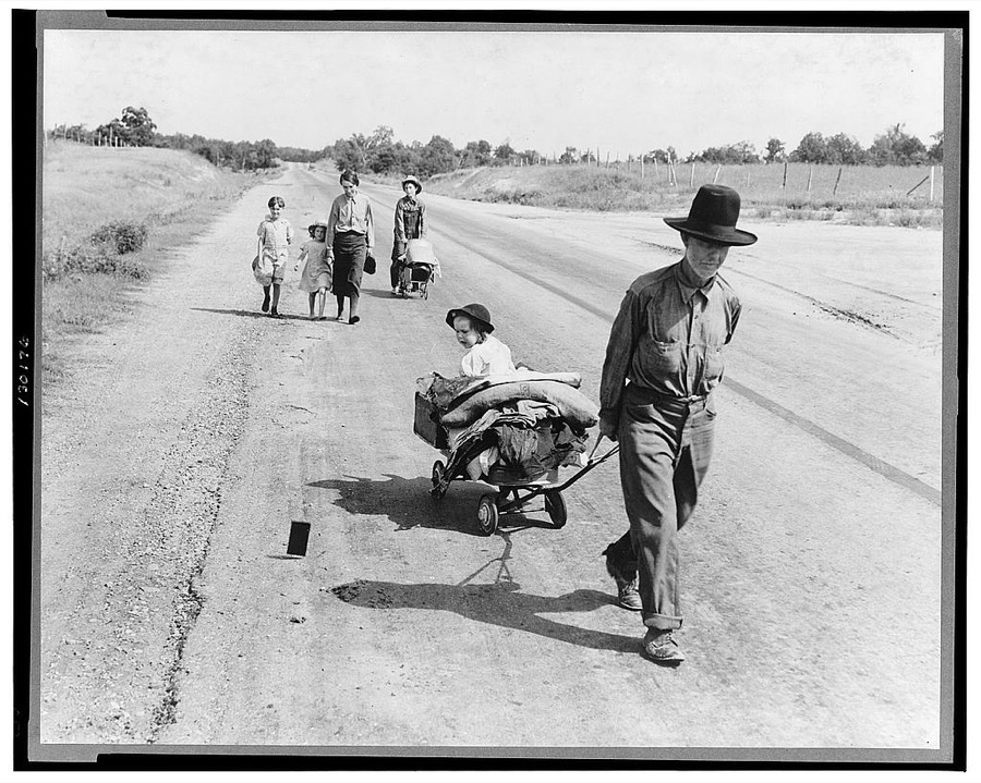
Taken for the Office of War Information and the Farm Security Administration, who photographed the country between 1935 and 1944. Works of United States government photographers, with no known restriction on use. Each opens its catalogue record.







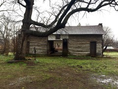
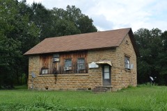
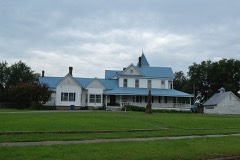
Every property in this county listed on the National Register of Historic Places, with the year it was listed and the federal nomination document.
Selected from the Digital Public Library of America's 4 image records catalogued for this county. Every one shown here carries a public-domain status or a licence that permits reuse on a site that carries advertising; non-commercial, share-alike and restricted images are excluded. The selection is spread across the county's towns (at most eight per town), so no single institution's bulk upload crowds out the rest. Each opens the holding library's record, and the complete set at the Digital Public Library of America is one click away.


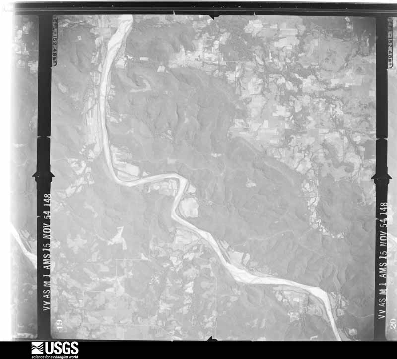
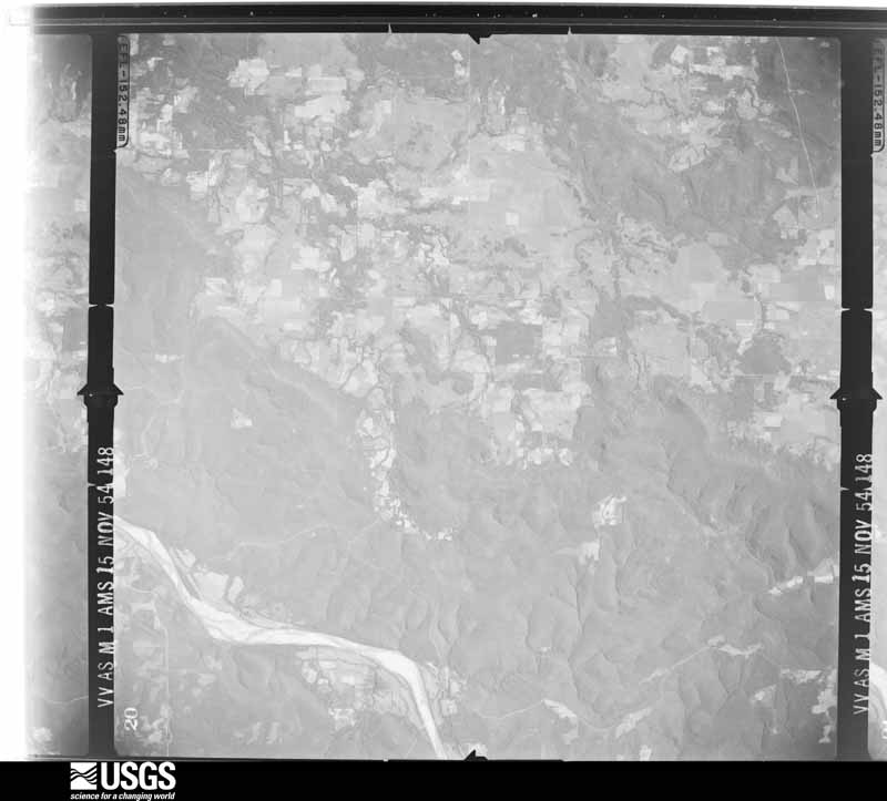
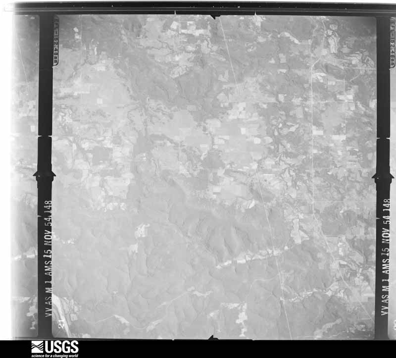
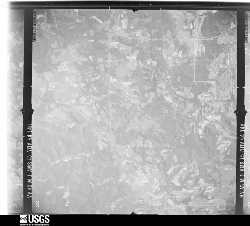
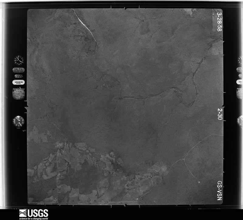
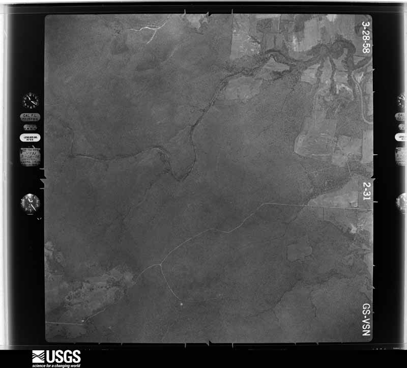
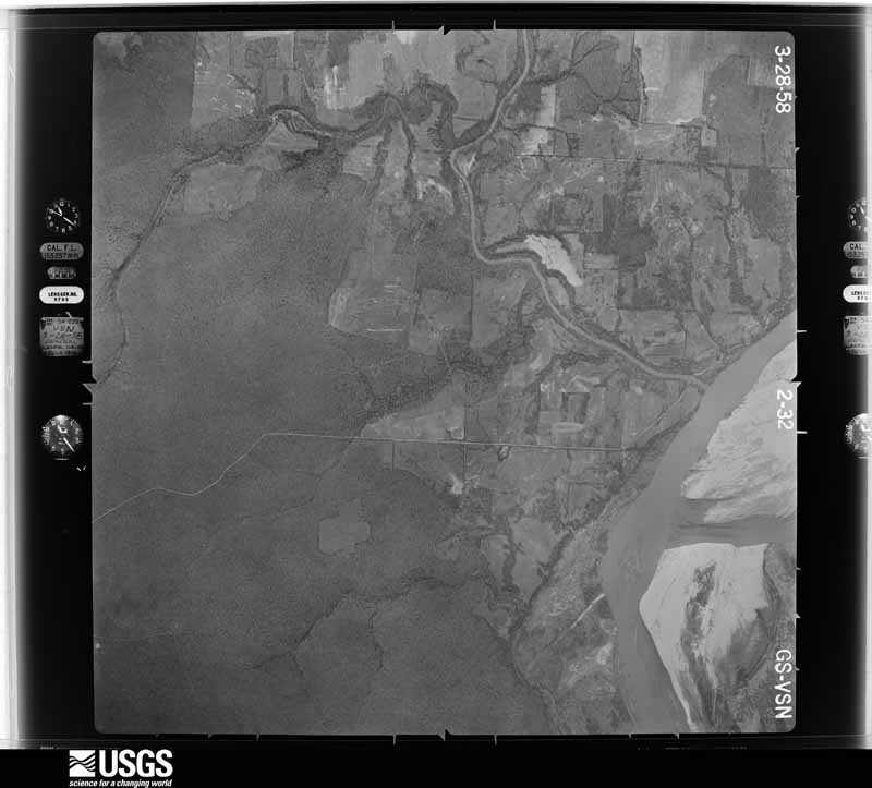
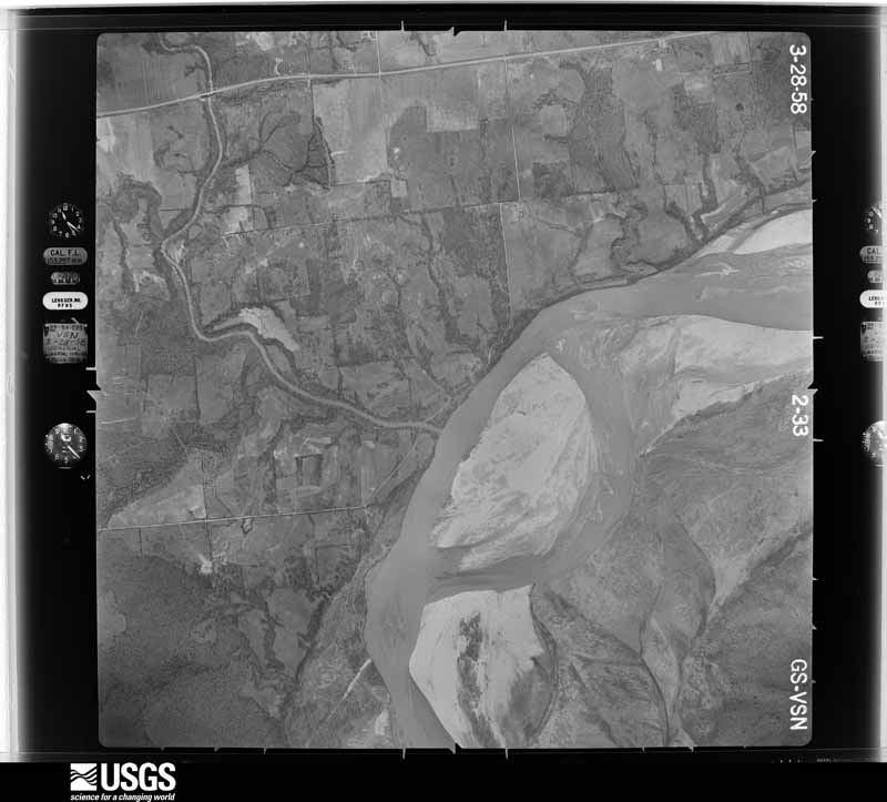
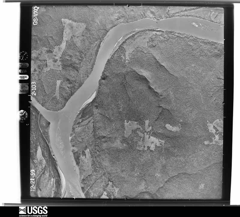
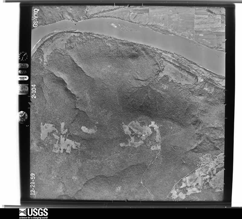
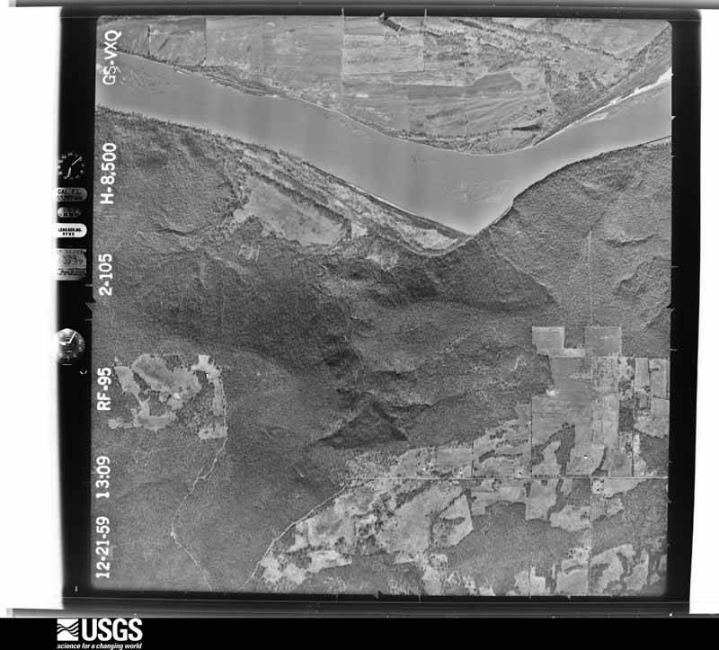
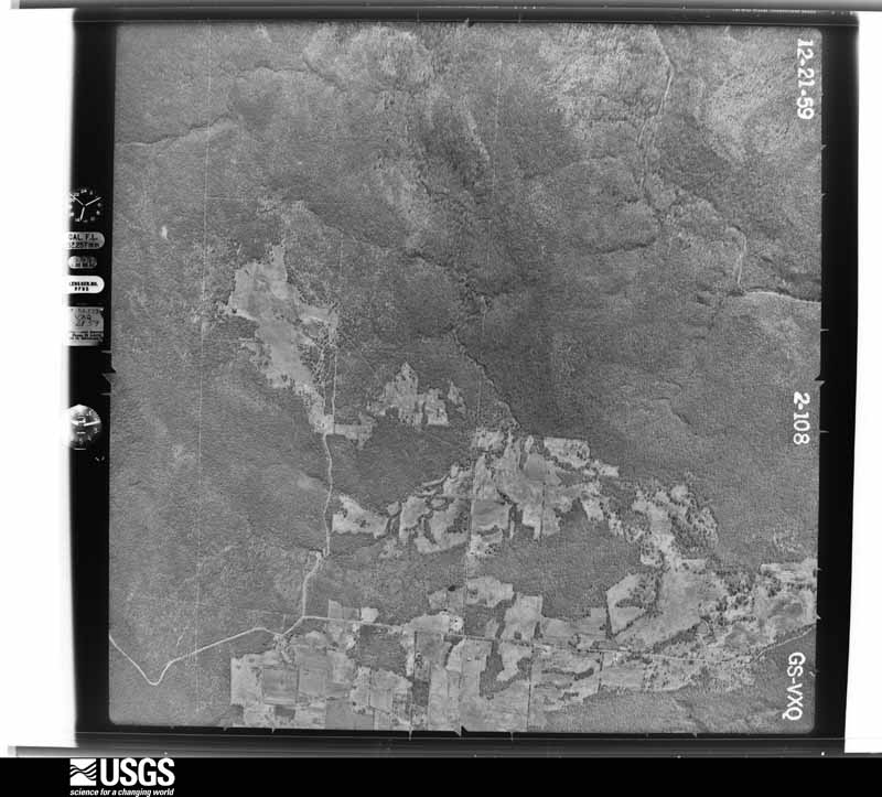
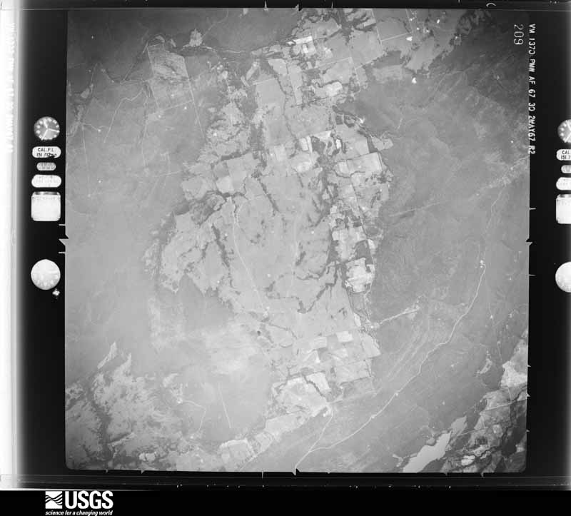
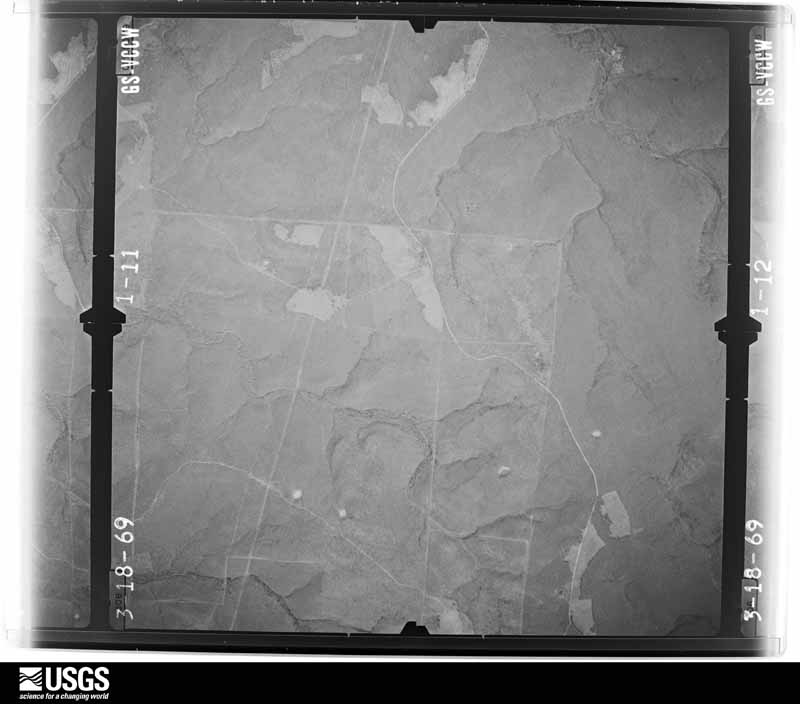
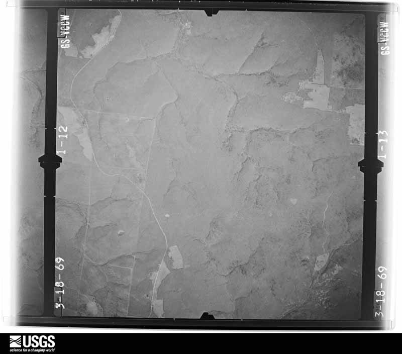
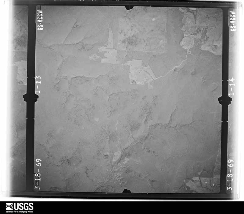
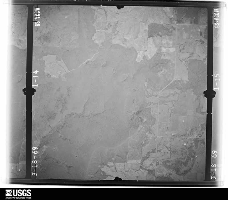
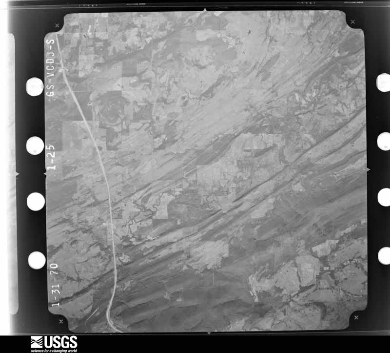
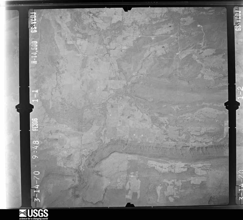
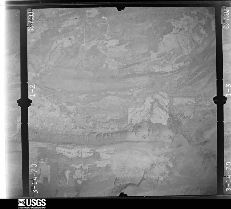
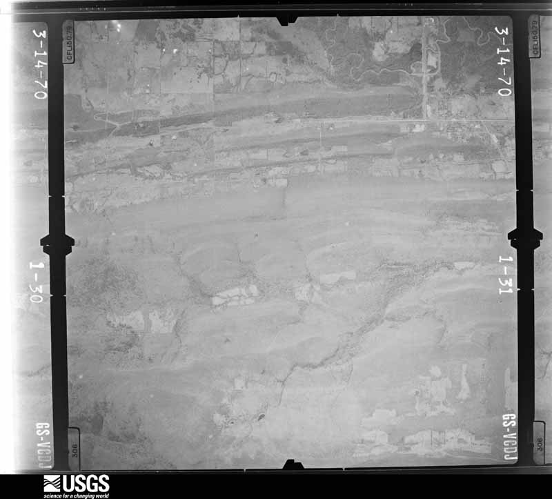
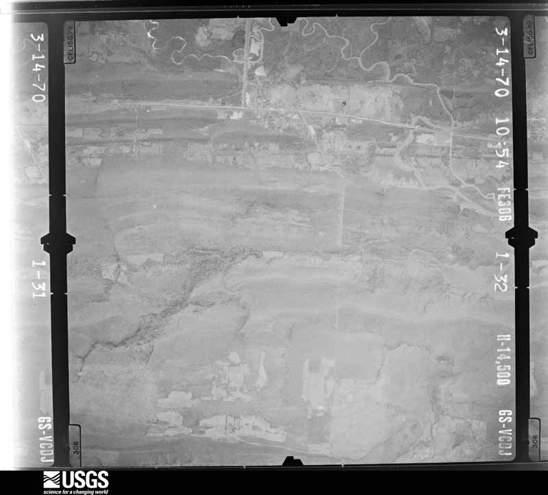
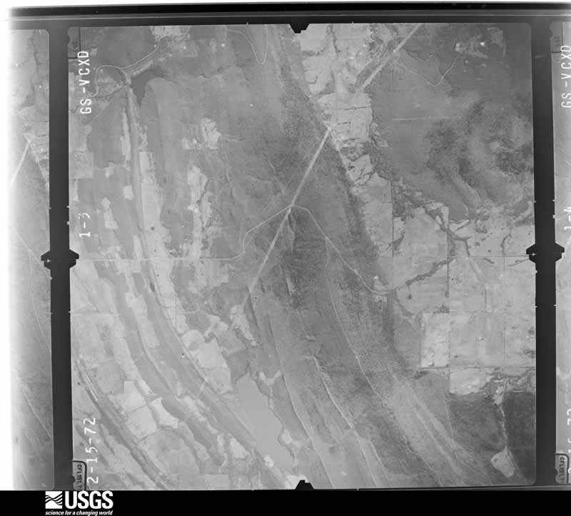
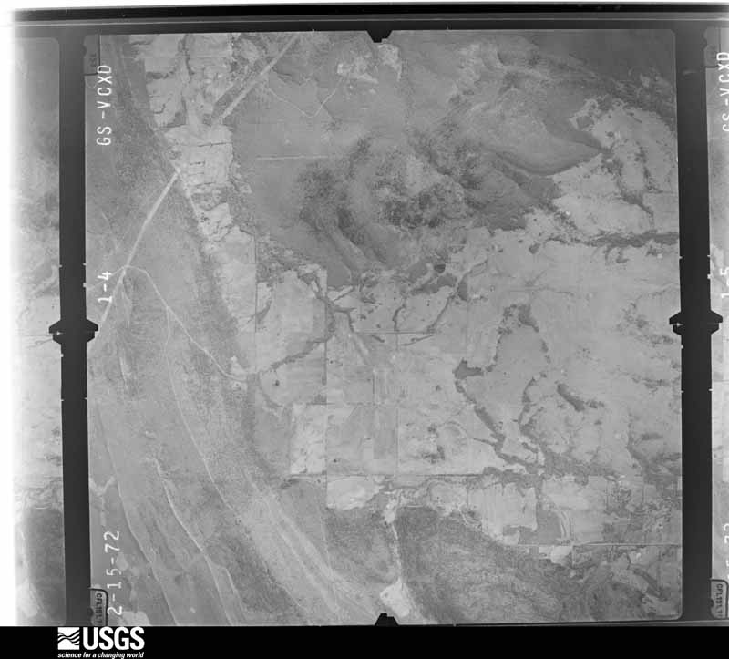
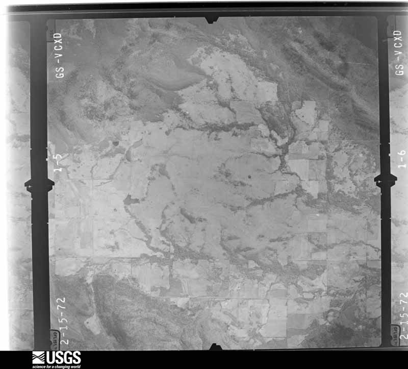
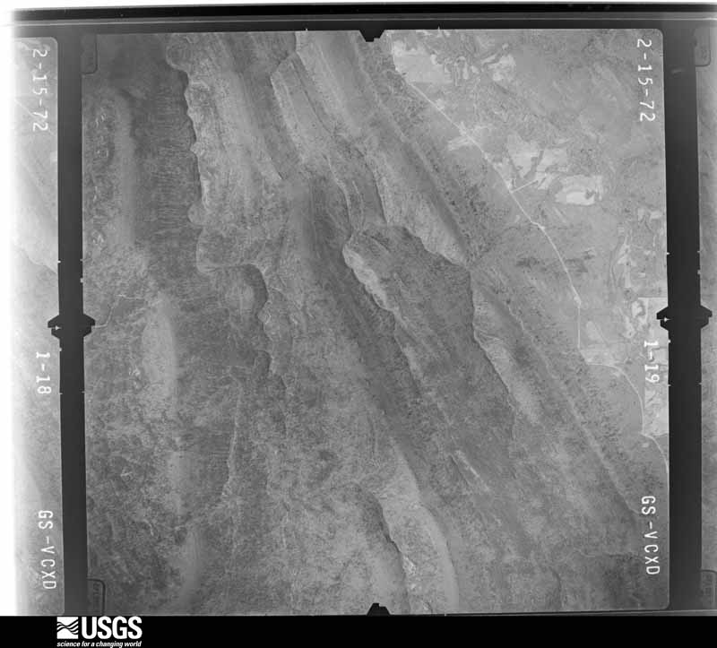
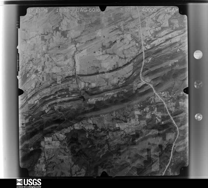
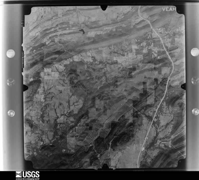
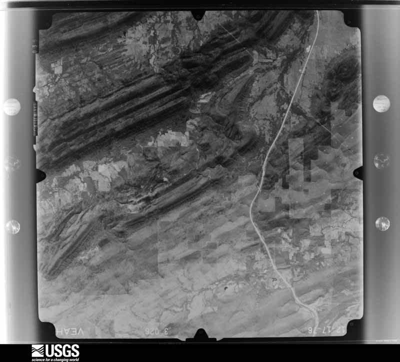
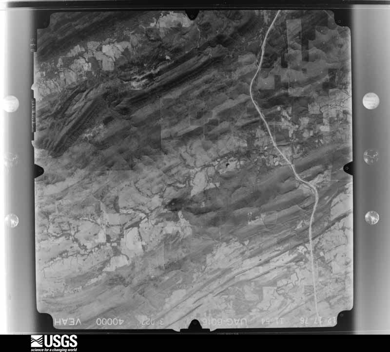
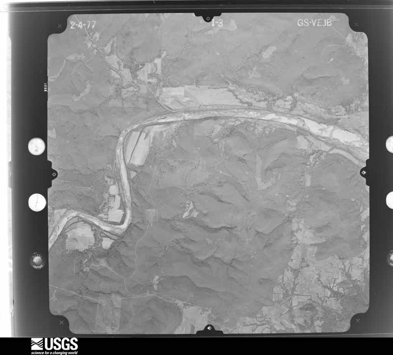
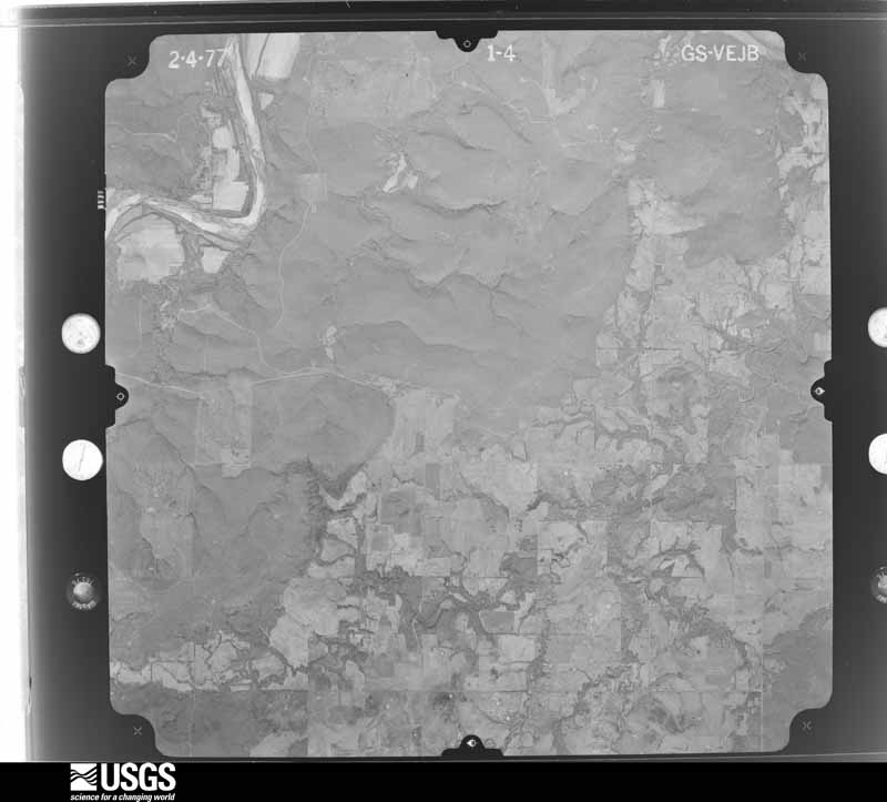
Flown by the U.S. Geological Survey between 1937 and 1989, the Aerial Photo Single Frames collection is the definitive mid-century view of the land: fields, roads and rivers as the camera saw them. The Survey holds 1,489 frames inside the rectangle that bounds this county; the 48 frames below were taken over the county itself, chosen across the decades of flights (at most four a year from that rectangle), so one flight cannot crowd out the rest. The full set is free to browse and download at EarthExplorer under the dataset Aerial Photo Single Frames.




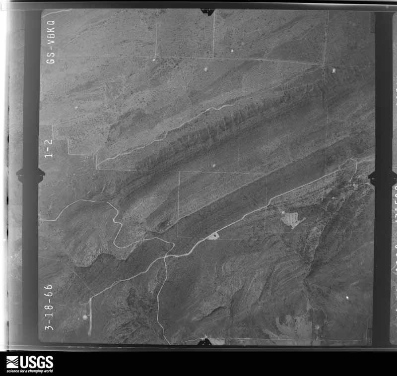
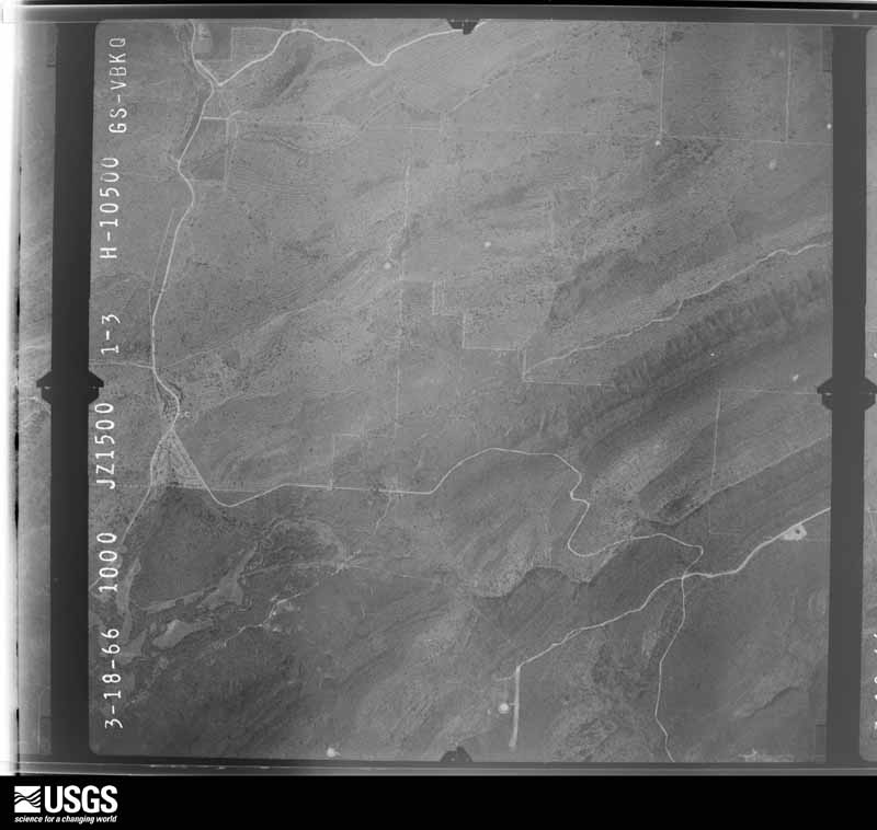
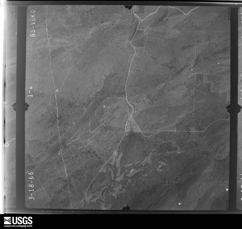
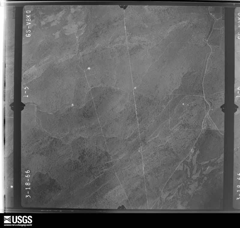








The thermometers that kept this county's weather, and the gages that measured the flow of its streams, as the federal records hold them. The extremes below are measured values from those records, not estimates.
Who lived here in 1950, one enumeration district at a time, as the Census Bureau described each district. Each row opens its official National Archives result, with Population Schedules and ED Maps available there.
Every wildfire the federal occurrence database records inside this county: 1,909 of them, burning about 245,982 acres. 61 started naturally and 864 were recorded as arson. Each settlement page carries the fires within five miles of it.
| Reported cause | Fires |
|---|---|
| Arson/incendiarism | 864 |
| Missing data/not specified/undetermined | 594 |
| Debris and open burning | 263 |
| Equipment and vehicle use | 70 |
| Natural | 61 |
| Smoking | 19 |
| Recreation and ceremony | 16 |
| Misuse of fire by a minor | 15 |
| Railroad operations and maintenance | 7 |
The five largest, by the area the report gives. Four of them were set deliberately.
| Date | Cause | Size | Reported by | Name on the report |
|---|---|---|---|---|
| 29 January 2011 | Arson/incendiarism | 9,500 acres | Oklahoma Division of Forestry | 20043 |
| 1 January 2006 | Arson/incendiarism | 6,750 acres | Talihina Agency | NEW YEAR |
| 1 April 2003 | Missing data/not specified/undetermined | 5,200 acres | Oklahoma Division of Forestry | ROCKY TOP |
| 12 February 1996 | Missing data/not specified/undetermined | 5,120 acres | Oklahoma Division of Forestry | not named |
| 21 March 2018 | Debris and open burning | 4,220 acres | Talihina Agency | SIX THOUSAND |
| 4 August 2012 | Arson/incendiarism | 4,160 acres | Oklahoma Division of Forestry | 20142 |
| 20 February 2009 | Missing data/not specified/undetermined | 4,000 acres | Oklahoma Division of Forestry | 20173 |
| 18 February 2016 | Arson/incendiarism | 4,000 acres | Talihina Agency | SHOE MOUNTAIN |
Every settlement page carries the fires within five miles of it - see the settlement index below.
The NOAA Storm Events Database holds 935 reports for this county, causing 3 deaths, 44 injuries and about $12,844,800 in recorded property damage. Each settlement page carries the reports that name it.
| Kind of event | Reports |
|---|---|
| Hail | 433 |
| Thunderstorm Wind | 319 |
| Tornado | 87 |
| Flash Flood | 81 |
| Flood | 13 |
| Heavy Rain | 1 |
| Lightning | 1 |
The most serious of them, by death, then injury, then recorded damage. The accounts are quoted exactly as the forecast office filed them.
| When | Event | Place named | Harm | What the report says |
|---|---|---|---|---|
| June 1970 | Tornado (F2) | not stated | 1 killed, 14 hurt, $2,500,000 | no account filed |
| January 2020 | Flash Flood | Ashland | 1 killed, $10,000 | Portions of several roads were flooded across southwestern Pittsburg County, as a result of three to five inches of rain that fell across the area. A 58 year-old man drove his pickup truck into deep flood water flowing over S Harper Valley Road, where it became inoperable. He exited the vehicle, was swept downstream by the rapidly flowing water, and was drowned. |
| December 2015 | Flood | Ulan | 1 killed | Roads were flooded around Scipio. A man drove a truck into flood waters covering Ragan Road and was drown. |
| April 1996 | Tornado (F0) | Mc Alester | 9 hurt, $750,000 | no account filed |
| May 1954 | Tornado (F2) | not stated | 6 hurt, $25,000 | no account filed |
| April 2000 | Tornado (F1) | Hartshorne | 5 hurt, $250,000 | An F1 tornado touched down north of Hartshorne and lifted 2 miles later northeast of Hartshorne.The tornado destroyed five mobile homes and a frame house. The roofs of four other homes were damaged. The tornado also uprooted large trees and downed power lines. |
| May 1992 | Tornado (F4) | not stated | 3 hurt, $250,000 | no account filed |
| April 1974 | Tornado (F0) | not stated | 2 hurt, $25,000 | no account filed |
| June 1973 | Tornado (F1) | not stated | 2 hurt, $25,000 | no account filed |
| April 2019 | Tornado (EF2) | Bond | 1 hurt, $1,500,000 | This tornado developed from a remnant mesocyclone that had a history of producing a strong tornado in Bryan and Atoka Counties. The circulation in the storm strengthened southwest of Haileyville, just east of the S Bache Road and south of Ray Road, where this tornado developed. It moved north-northeast significantly damaging several homes, destroying barns and outbuildings, and snapping or uprooting trees from Ray Road to Crawley Road. The tornado then moved through open country for a couple miles and turned northeast as it moved across S Smallwood Lane, where it snapped many trees and destroyed outbuildings. It continued to produced significant tree damage along Highway 63 as it approached Haileyville. Many homes and businesses were damaged in town, some were destroyed, as it continued northeast to Lone Oak Road W on the northeast side of town, where the tornado began to move east. Homes were damaged, many trees were snapped, an electrical substation was damaged, and power poles were snapped before it dissipated near Price Road, south of Shelton Road. This tornado was observed by multiple people. Based on this damage, maximum estimated wind in the tornado was 110 to 120 mph. |
| May 2025 | Tornado (EF3) | Pittsburg | 1 hurt, $500,000 | This tornado developed approximately 3 miles southwest of the town of Pittsburg near Staples Road. The tornado intensified as it approached Pittsburg Lake. EF-1 to EF-2 damage was done to homes and trees just north of Pittsburg Lake on Indian Trail Road. One person was injured in the most badly damaged home. The tornado continued to grow as it passed just southeast of Pittsburg, where it did EF-1 and EF-2 damage to two homes. The tornado reached its maximum width of 1.7 miles near Blanco. Several homes just south and southwest of Blanco received significant roof damage, and a number of power poles were broken as well. Winds were estimated from 95 mph to 115 mph in these areas. The tornado turned onto a more east-northeast course leaving the immediate Blanco area. During this turn, the most intense winds stayed just south of Blanco proper. The highest rated damage was to trees 2.4 miles east of Blanco, where many trees were stripped of some bark and most branches. This occurred in a forested area where nearly all trees were downed. A rating of EF-3 was assigned to this area, with the wind speeds estimated near 140 mph. The tornado slowly weakened from this point and dissipated 9 miles east-northeast of Blanco. |
| May 1997 | Tornado (F3) | Indianola | 1 hurt, $100,000 | no account filed |
| May 2008 | Tornado (EF2) | Haywood | $500,000 | A strong tornado severely damaged homes, snapped and uprooted numerous trees, and blew down power poles and power lines. |
| April 2026 | Tornado (EF1) | Kiowa | $250,000 | This tornado developed north of Harper Valley Road and west of Poe Lane. It moved east-southeast across Harper Valley Road, where trees were uprooted and large tree limbs were snapped. The tornado then moved southeast across Kiowa, where numerous trees were uprooted or snapped, homes were damaged, outbuildings were destroyed, and power poles were snapped. It then dissipated just southeast of Kiowa. Based on this damage, maximum estimated wind in the tornado was 95 to 105 mph. |
| May 1992 | Tornado (F2) | not stated | $250,000 | no account filed |
| April 1984 | Tornado (F1) | not stated | $250,000 | no account filed |
| May 1983 | Tornado (F2) | not stated | $250,000 | no account filed |
| January 1975 | Tornado (F1) | not stated | $250,000 | no account filed |
| November 1974 | Tornado (F1) | not stated | $250,000 | no account filed |
| December 1971 | Tornado (F2) | not stated | $250,000 | no account filed |
| April 1966 | Tornado (F3) | not stated | $250,000 | no account filed |
| May 2008 | Tornado (EF2) | Hartshorne | $200,000 | A tornado destroyed mobile homes, severely damaged permanent homes, snapped or uprooted numerous trees, destroyed barns and outbuildings, and blew down power poles and power lines. This tornado continued into Latimer County. |
| September 2010 | Flash Flood | Indianola | $150,000 | The Pittsburg County Sheriff's Office reported Highway 113 between Canadian and Indianola flooded, as well as Highway 69 in the Canadian area. Numerous other roads in the northern portion of the county were closed due to flooding. Some of those roads, along with tin horns and even a bridge, were washed out. |
| June 2025 | Tornado (EF1) | Arpelar | $100,000 | A line of thunderstorms approaching McAlester rapidly organized and developed a strong push of wind as it approached Pyle Mountain. Those winds contributed to the development of a large squall line circulation (QLCS), and resulted in the development of a tornado near Pyle Mountain. The tornado traveled east-southeast, crossing the Indian Nation Turnpike, and moved into the area around the State Penitentiary. Minor damage occurred at the McAlester-Pittsburg County Emergency Operations Center. The strong push of wind, which initially contributed to the development of the tornado, strengthened further and became the dominate feature. The tornado dissipated in north McAlester after crossing north Main Street. It uprooted numerous trees, and damaged homes, buildings and businesses. Based on this damage, maximum estimated wind in the tornado was 90 to 95 mph. |
| June 2025 | Thunderstorm Wind | Mc Alester | $100,000 | Strong thunderstorm wind damaged multiple buildings in downtown McAlester. |
| September 2023 | Thunderstorm Wind | Indianola | $100,000 | Strong thunderstorm wind blew down trees, destroyed several outbuildings, and damaged the roofs of homes. |
| September 2023 | Thunderstorm Wind | Indianola | $100,000 | Strong thunderstorm wind damaged the roofs of several homes, destroyed several outbuildings, and blew down trees. |
| April 2008 | Thunderstorm Wind | Mc Alester | $100,000 | Thunderstorm winds estimated at 70 miles an hour and golfball size hail broke windows and damaged roofs throughout McAlester. The winds also damaged signs and caused tree damage. |
| April 2007 | Thunderstorm Wind | Pittsburg | $100,000 | Strong thunderstorm wind, associated with a mesocyclone, destroyed two mobile homes and several storage buildings. The wind also damaged a number of homes. Numerous trees and power poles were also snapped, uprooted, or blown down. An NWS storm survey indicated an estimated maximum wind speed of 85 to 95 mph based on the damage in and around town. |
| April 2008 | Hail | Mc Alester | $100,000 | no account filed |
| March 2006 | Thunderstorm Wind | Arpelar | $100,000 | no account filed |
| March 2000 | Hail | Pittsburg | $100,000 | no account filed |
| April 1996 | Tornado (F1) | Mc Alester | $100,000 | no account filed |
| May 1997 | Thunderstorm Wind | Mc Alester | $80,000 | no account filed |
| May 2025 | Tornado (EF1) | Craig | $75,000 | This is the first segment of a two segment tornado. The tornado developed just southwest of Hartshorne Lake, and moved east-northeast, uprooting numerous trees and damaging outbuildings. It crossed into Latimer County just south of Highway 1. Based on this damage, maximum estimated wind in this segment of the tornado was 90 to 100 mph. |
| March 2022 | Tornado (EF0) | Adamson | $75,000 | This tornado damaged several homes, rolled multiple trailers, damaged outbuildings, damaged a mobile home, uprooted a large hardwood tree, and snapped large tree limbs. Based on this damage, maximum estimated wind in the tornado was 80 to 85 mph. |
| May 2019 | Thunderstorm Wind | Mc Alester | $70,000 | Strong thunderstorm wind damaged homes and businesses, blew down trees, and snapped power poles. |
| May 2025 | Hail | Mc Alester | $50,000 | Golf ball size hail damaged homes, businesses, and vehicles. |
| June 2025 | Thunderstorm Wind | Krebs | $50,000 | Strong thunderstorm wind blew down multiple large trees, blew down power poles and power lines, and damaged homes and outbuildings. |
| April 2024 | Tornado (EF1) | North Mc Alester | $50,000 | This tornado moved across the northwest side of McAlester, damaging the roofs of homes, uprooting trees, and snapping power poles. Based on this damage, maximum estimated wind in the tornado was 85 to 95 mph. |
| April 2020 | Hail | Haileyville | $50,000 | Large hail damaged vehicles and the roofs of homes. |
| August 2019 | Thunderstorm Wind | Mc Alester | $50,000 | Strong thunderstorm wind damaged several store fronts as well as the roofs of multiple homes and businesses. |
| April 2016 | Thunderstorm Wind | Kiowa | $50,000 | Strong thunderstorm wind destroyed outbuildings and uprooted trees. |
| May 2013 | Thunderstorm Wind | Featherston | $50,000 | Strong thunderstorm wind blew down several power poles, flipped over a storage building and blew another into a line of trees, and flipped over a pontoon boat. |
| April 2008 | Thunderstorm Wind | Blocker | $50,000 | Thunderstorm winds estimated at 90 miles an hour damaged or destroyed several out buildings. |
| April 2003 | Tornado (F0) | Crowder | $50,000 | A brief tornado occured in rural areas to the east of Crowder. A homestead received substantial damage from this tornado. Three sheds, including a 100 foot cattle shed were destroyed. Shingles were blown of a house and a tin roof was blown off a barn. A series of supercells crossed southeast Oklahoma on this afternoon. Numerous other tornado reports were received during the event, but further investigation led to the conclusion that most of these reports were funnel-shaped scud. |
| May 2001 | Hail | Quinton | $50,000 | Golfball size hail damage a few car and roofs of buildings. |
| August 2000 | Thunderstorm Wind | Quinton | $50,000 | Thunderstorm winds did damage in a two block by six block area. A few barns were destroyed and a few carports were blown onto cars. Several trees were blown down with a few blocking roads. The wind also caused power outages. |
| June 2009 | Hail | Krebs | $50,000 | no account filed |
| May 2001 | Hail | Blanco | $50,000 | no account filed |
| May 2001 | Hail | Ashland | $50,000 | no account filed |
| May 1995 | Thunderstorm Wind | McAlester | $50,000 | no account filed |
| June 2023 | Thunderstorm Wind | Kiowa | $43,000 | Thunderstorm wind resulted in at least $43,000 in damage to the utility infrastructure across the county during this severe thunderstorm. |
| July 1997 | Thunderstorm Wind | Krebs | $40,000 | A severe thunderstorm produced strong winds which destroyed a concrete outbuilding and damaged another building in the northwest part of the town of Krebs. |
| March 2006 | Hail | Quinton | $40,000 | no account filed |
| May 2015 | Tornado (EF1) | (Mlc)Mc Alester Muni | $35,000 | A tornado destroyed a barn, rolled a horse trailer, blew down a grain silo, and uprooted trees. Based on this damage, estimated maximum wind in the tornado was 90 to 100 mph. |
| November 1998 | Thunderstorm Wind | Mc Alester | $31,000 | Damage was reported in the High Hill area near McAlester. Specifically, several barns were damaged, roofs were damaged, a piece of tin was driven 4 inches into a tree, and a backyard trampoline was completely blown away and could not be found. |
| April 2026 | Hail | Centerville | $30,000 | Golf ball size hail damaged homes and vehicles. |
| March 2024 | Hail | Krebs | $30,000 | Golf ball size hail damaged vehicles, homes, and businesses. |
| September 2023 | Hail | Indianola | $30,000 | Hail larger than golf ball size damaged homes and vehicles. |
The Survey's mineral resources record lists 34 workings inside this county. 8 still produce and 26 are closed or unrecorded. Each settlement page carries the workings within five miles of it.
| Commodity | Workings |
|---|---|
| Sand and Gravel, Construction | 21 |
| Stone, Crushed/Broken | 12 |
| Flagstone | 1 |
The least common of them first, because a county's hundredth gravel pit says nothing its first ten did not.
| Where | Site | Commodity | Status | Recorded |
|---|---|---|---|---|
| Mason Pit | Flagstone | Producer | ||
| Dolese Bros Limestone Pit | Stone, Crushed/Broken | Producer | ||
| Dolese Limestone Pit | Stone, Crushed/Broken | Past Producer | ||
| H D Youngman Constr Limestone Pit | Stone, Crushed/Broken | Past Producer | ||
| Hartshorne Pit & Plant | Stone, Crushed/Broken | Producer | ||
| Unknown Limestone Pit | Stone, Crushed/Broken | Past Producer | ||
| Unknown Limestone Pit | Stone, Crushed/Broken | Past Producer | ||
| Unknown Limestone Pit | Stone, Crushed/Broken | Past Producer | ||
| Unknown Sandstone Pit | Stone, Crushed/Broken | Past Producer | ||
| Unknown Sandstone Pit | Stone, Crushed/Broken | Past Producer | ||
| Unknown Sandstone Pit | Stone, Crushed/Broken | Past Producer | ||
| Unknown Sandstone Pit | Stone, Crushed/Broken | Past Producer | ||
| Unknown Sandstone Pit | Stone, Crushed/Broken | Past Producer | ||
| Hall Sand & Moon Sand Strip | Sand and Gravel, Construction | Producer | ||
| Jenson Sand Co Sand Pit | Sand and Gravel, Construction | Producer | ||
| Mcconnell Const Sand Pit | Sand and Gravel, Construction | Producer | ||
| Rice Pit | Sand and Gravel, Construction | Producer | ||
| Unknown Gravel Pit | Sand and Gravel, Construction | Past Producer | ||
| Unknown Gravel Pit | Sand and Gravel, Construction | Past Producer | ||
| Unknown Gravel Pit | Sand and Gravel, Construction | Past Producer | ||
| Unknown Gravel Pit | Sand and Gravel, Construction | Past Producer | ||
| Unknown Gravel Pit | Sand and Gravel, Construction | Past Producer | ||
| Unknown Gravel Pit | Sand and Gravel, Construction | Past Producer | ||
| Unknown Gravel Pit | Sand and Gravel, Construction | Past Producer | ||
| Unknown Gravel Pit | Sand and Gravel, Construction | Past Producer | ||
| Unknown Gravel Pit | Sand and Gravel, Construction | Past Producer | ||
| Unknown Gravel Pit | Sand and Gravel, Construction | Past Producer | ||
| Unknown Sand Pit | Sand and Gravel, Construction | Past Producer | ||
| Unknown Sand Pit | Sand and Gravel, Construction | Past Producer | ||
| Unknown Sand Pit | Sand and Gravel, Construction | Past Producer | ||
| Unknown Sand Pit | Sand and Gravel, Construction | Past Producer | ||
| Unknown Sand Pit | Sand and Gravel, Construction | Producer | ||
| Unknown Sand Pit | Sand and Gravel, Construction | Past Producer | ||
| Unknown Sand Pit | Sand and Gravel, Construction | Past Producer |
Named settlements recorded in the Geographic Names Information System, each with the topographic sheets covering it. Villages, hamlets and abandoned places alike. Each is shown with the nearest named watercourse or landform and the survey quadrangle it falls on. The 13 places that were also surveyed for fire insurance come first, with the number of atlases and photographs held for them.
McAlester census division · 74501 · Near Buck Hill · Krebs quadrangle
17 sheets, 1898 to 1991
Fire insurance: 3 atlases
North Central Pittsburg census division · 74425 · On Gibson Creek · Canadian quadrangle
14 sheets, 1900 to 1978
Fire insurance: 4 atlases
North Central Pittsburg census division · 74430 · On Rock Creek · Crowder quadrangle
14 sheets, 1900 to 1978
Fire insurance: 4 atlases
Hartshorne-Haileyville census division · 74547 · Near Round Top Mountain · Hartshorne quadrangle
18 sheets, 1898 to 1991
Fire insurance: 9 atlases
North Central Pittsburg census division · 74442 · Indianola quadrangle
14 sheets, 1900 to 1978
Fire insurance: 4 atlases
Kiowa-Pittsburg census division · 74553 · On Kiowa Hill · Kiowa quadrangle
17 sheets, 1898 to 1991
Fire insurance: 8 atlases
McAlester census division · 74554 · On Buck Creek · Krebs quadrangle
17 sheets, 1898 to 1991
Fire insurance: 8 atlases
Kiowa-Pittsburg census division · 74560 · Near Limestone Ridge · Pittsburg quadrangle
17 sheets, 1898 to 1991
Fire insurance: 3 atlases
Quinton census division · 74561 · Quinton South quadrangle
17 sheets, 1900 to 1978
Fire insurance: 3 atlases
Hartshorne-Haileyville census division · 74547 · On Brushy Creek · Adamson quadrangle
18 sheets, 1898 to 1991
Hartshorne-Haileyville census division · 74547 · On Gardner Creek · Hartshorne SW quadrangle
17 sheets, 1898 to 1991
Kiowa-Pittsburg census division · 74570 · Near Pine Hollow · Ashland quadrangle
13 sheets, 1896 to 1990
Kiowa-Pittsburg census division · 74528 · On Wildhorse Creek · Savanna quadrangle
18 sheets, 1898 to 1991
Hartshorne-Haileyville census division · 74547 · On Short Creek · Hartshorne SW quadrangle
17 sheets, 1898 to 1991
McAlester census division · 74501 · On Fish Creek · Crowder quadrangle
14 sheets, 1900 to 1978
Quinton census division · 74432 · On Longtown Creek · Longtown quadrangle
13 sheets, 1900 to 1978
North Central Pittsburg census division · 74501 · Canadian quadrangle
14 sheets, 1900 to 1978
Hartshorne-Haileyville census division · 74547 · Near Belle Starr Mountain · Hartshorne quadrangle
18 sheets, 1898 to 1991
McAlester census division · 74501 · On Bull Creek · Savanna quadrangle
18 sheets, 1898 to 1991
Hartshorne-Haileyville census division · 74560 · On Cedar Creek · Counts quadrangle
17 sheets, 1898 to 1991
Hartshorne-Haileyville census division · 74501 · Hartshorne SW quadrangle
17 sheets, 1898 to 1991
Hartshorne-Haileyville census division · 74501 · On Blue Creek · Adamson quadrangle
18 sheets, 1898 to 1991
McAlester census division · 74501 · Near Piney Mountain · McAlester quadrangle
18 sheets, 1898 to 1991
Hartshorne-Haileyville census division · 74546 · On Blue Creek · Hartshorne quadrangle
18 sheets, 1898 to 1991
McAlester census division · 74501 · On Bull Creek · Savanna quadrangle
18 sheets, 1898 to 1991
Quinton census division · 74432 · On Longtown Creek · Longtown quadrangle
13 sheets, 1900 to 1978
Hartshorne-Haileyville census division · 74560 · On Elm Creek · Ti quadrangle
16 sheets, 1898 to 1991
North Central Pittsburg census division · 74501 · On Coal Creek · Crowder quadrangle
14 sheets, 1900 to 1978
McAlester census division · 74501 · On Buck Creek · Krebs quadrangle
17 sheets, 1898 to 1991
North Central Pittsburg census division · 74501 · Canadian quadrangle
14 sheets, 1900 to 1978
Hartshorne-Haileyville census division · 74528 · In Ti Valley · Ti quadrangle
16 sheets, 1898 to 1991
Northwest Pittsburg census division · 74570 · Ashland quadrangle
13 sheets, 1896 to 1990
Hartshorne-Haileyville census division · 74560 · On Bolen Creek · Counts quadrangle
17 sheets, 1898 to 1991
18 topographic sheets and 9 fire insurance atlases, 1894 to 1937
18 topographic sheets and 9 fire insurance atlases, 1886 to 1945
17 topographic sheets and 8 fire insurance atlases, 1899 to 1927
17 topographic sheets and 8 fire insurance atlases, 1894 to 1918
0 topographic sheets and 6 fire insurance atlases, 1896 to 1904
0 topographic sheets and 5 fire insurance atlases, 1904 to 1925
14 topographic sheets and 4 fire insurance atlases, 1901 to 1914
14 topographic sheets and 4 fire insurance atlases, 1904 to 1916
14 topographic sheets and 4 fire insurance atlases, 1904 to 1914
17 topographic sheets and 3 fire insurance atlases, 1899 to 1904
17 topographic sheets and 3 fire insurance atlases, 1915 to 1927
17 topographic sheets and 3 fire insurance atlases, 1914 to 1931
0 topographic sheets and 3 fire insurance atlases, 1894 to 1898
The complete index, with nothing left out. Each of these is a separate record with its own page: a federal survey report, or the case file that argued a property on to the National Register. Both are public domain and reproduced word for word.