 Block
From the record
9 National Register listings published here.
Sources: the National Register database, National Park Service
52 topographic sheets and 20 fire insurance atlases across 4 places.
9 National Register listings published here.
Sources: the National Register database, National Park Service
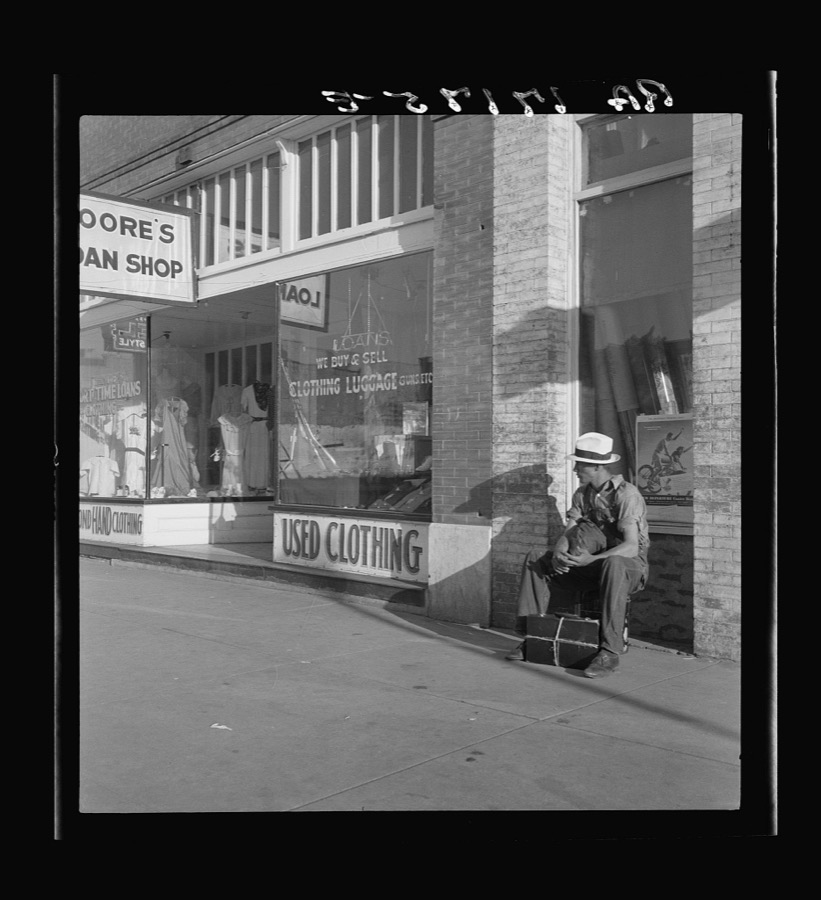
Taken for the Office of War Information and the Farm Security Administration, who photographed the country between 1935 and 1944. Works of United States government photographers, with no known restriction on use. Each opens its catalogue record.
Every property in this county listed on the National Register of Historic Places, with the year it was listed and the federal nomination document.
| Photograph | Property | Type | Listed | Reference |
|---|---|---|---|---|
 | Ada Public Library | building | 1989 | 89001950 |
| Bebee Field Round House | building | 1985 | 85001699 | |
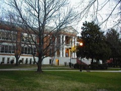 | East Central State Normal School | building | 1986 | 86003470 |
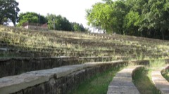 | Lake Dam, Wintersmith Park | structure | 2000 | 00000623 |
| F.W. Meaders House | building | 2007 | 07000258 | |
| Mijo Camp Industrial District | district | 1985 | 85002560 | |
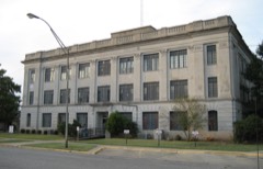 | Pontotoc County Courthouse | building | 1984 | 84003418 |
 | Roff Armory | building | 1997 | 97001151 |
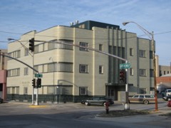 | Sugg Clinic | building | 1999 | 99001426 |
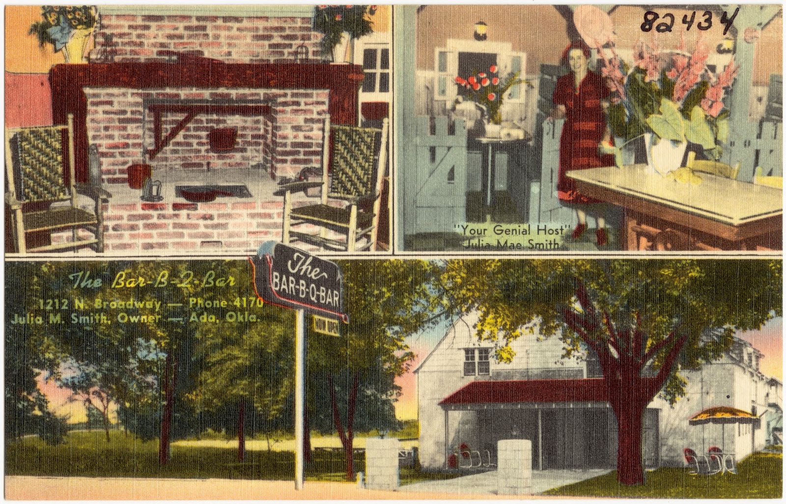
Selected from the Digital Public Library of America's 1 image records catalogued for this county. Every one shown here carries a public-domain status or a licence that permits reuse on a site that carries advertising; non-commercial, share-alike and restricted images are excluded. The selection is spread across the county's towns (at most eight per town), so no single institution's bulk upload crowds out the rest. Each opens the holding library's record, and the complete set at the Digital Public Library of America is one click away.
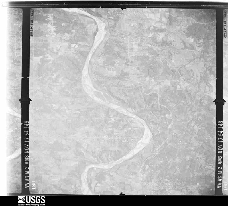
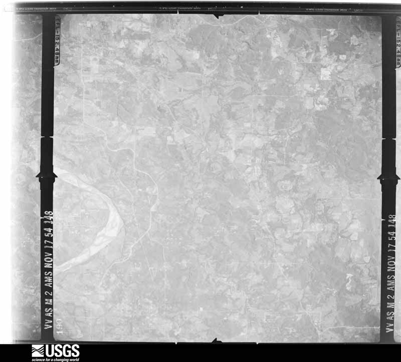
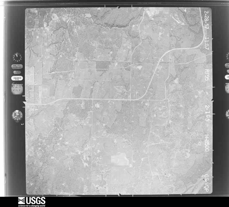
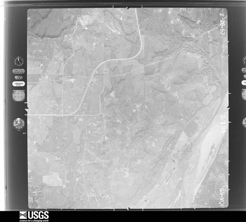
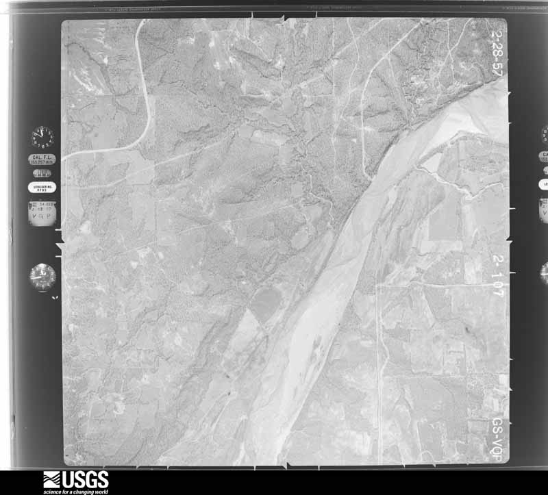
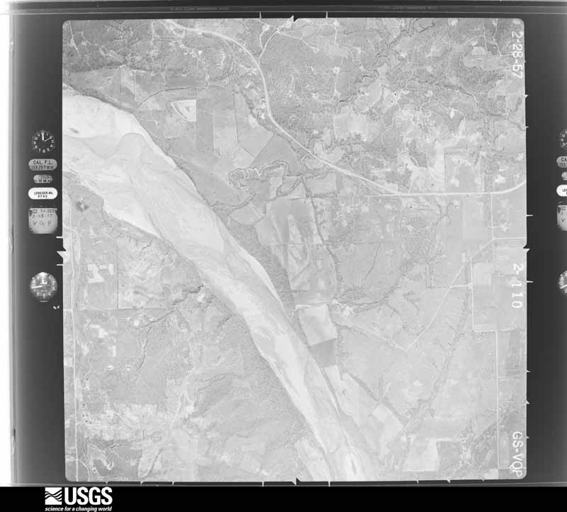
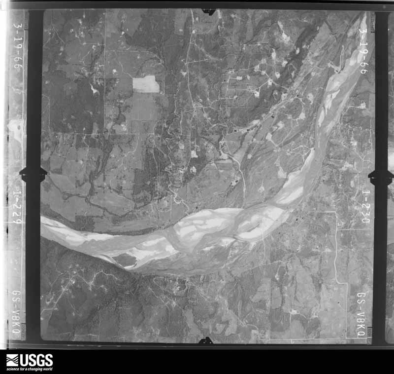
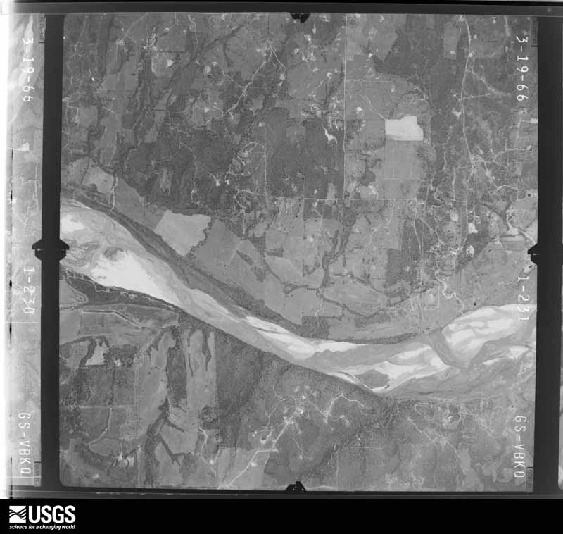
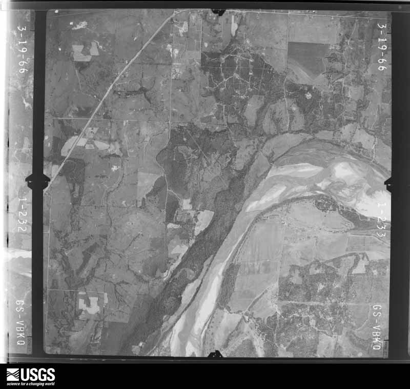
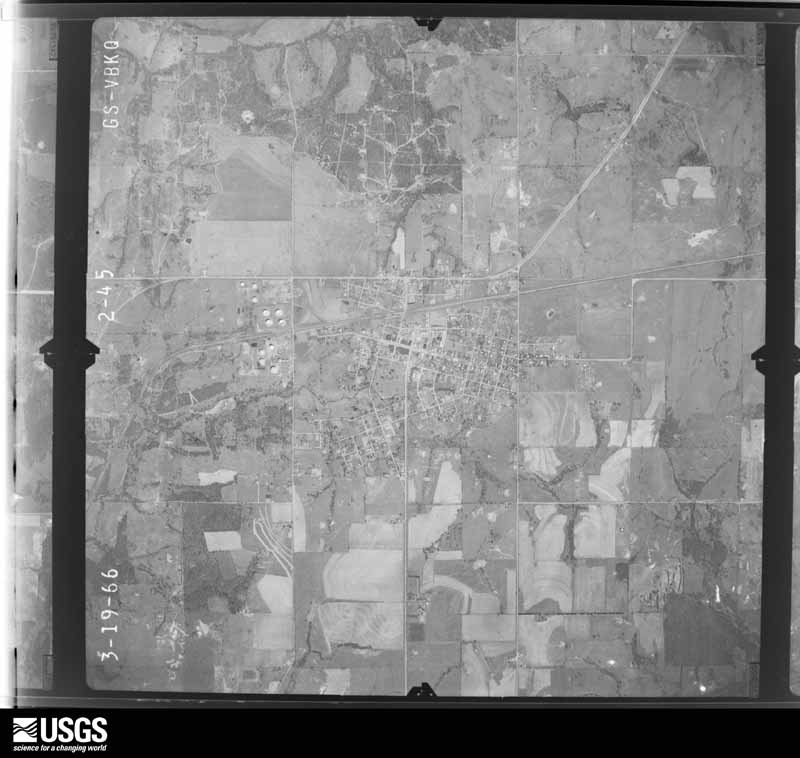
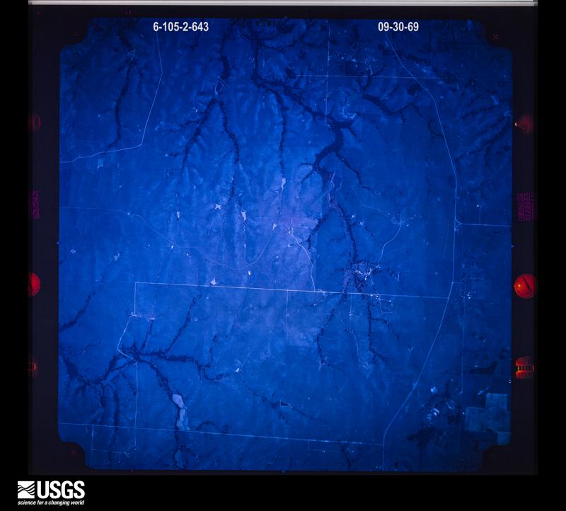
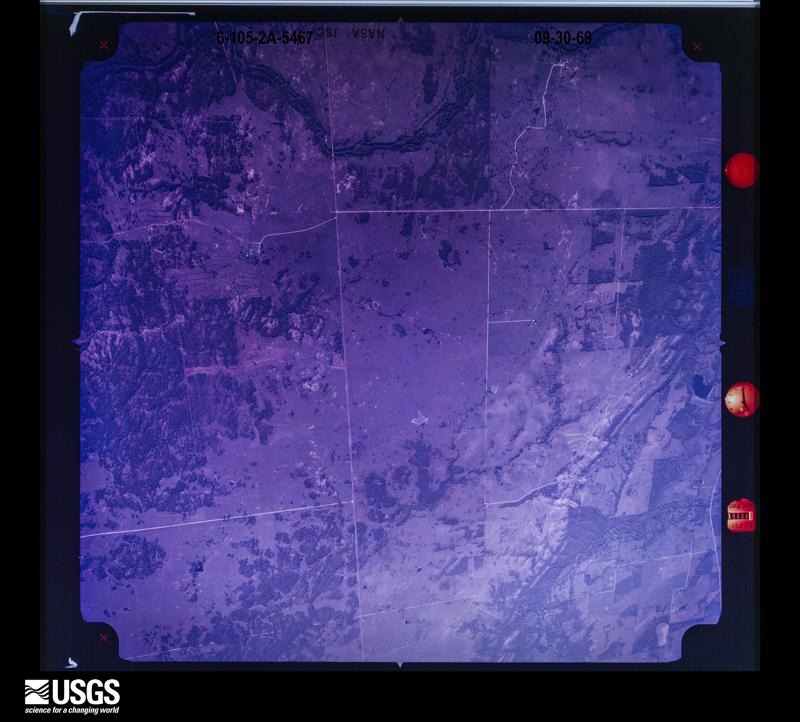
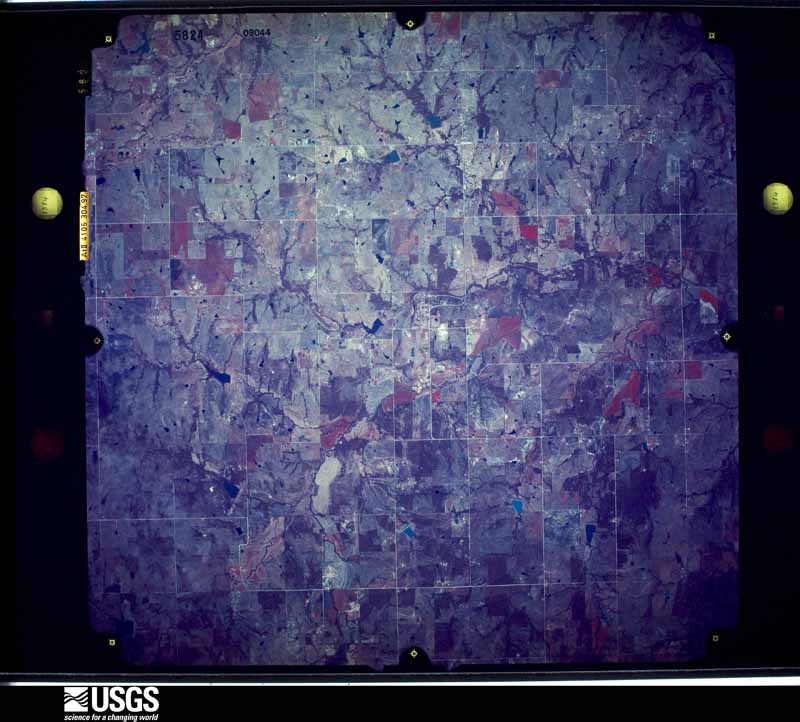
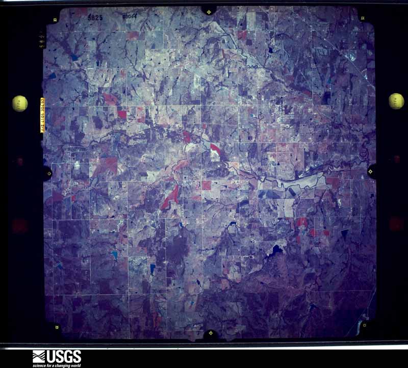
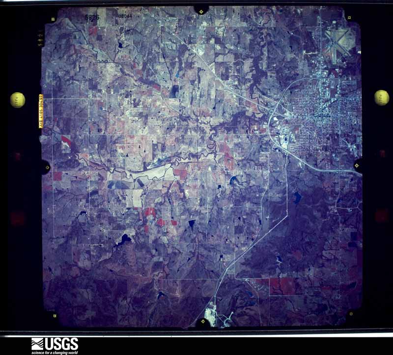
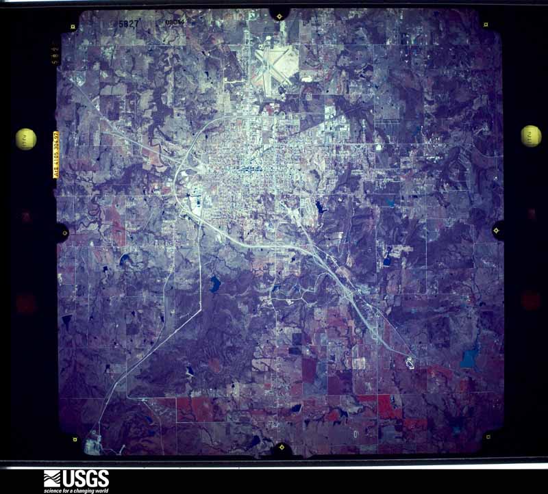
Flown by the U.S. Geological Survey between 1937 and 1989, the Aerial Photo Single Frames collection is the definitive mid-century view of the land: fields, roads and rivers as the camera saw them. The Survey holds 1,075 frames inside the rectangle that bounds this county; the 26 frames below were taken over the county itself, chosen across the decades of flights (at most four a year from that rectangle), so one flight cannot crowd out the rest. The full set is free to browse and download at EarthExplorer under the dataset Aerial Photo Single Frames.


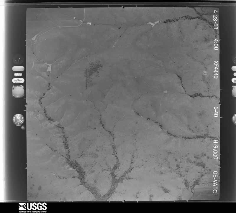
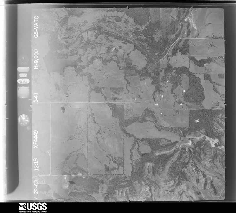
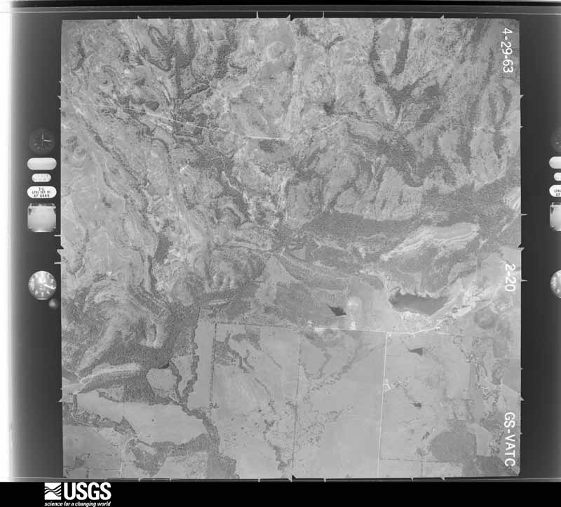
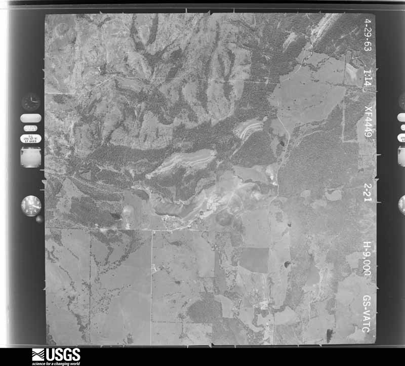
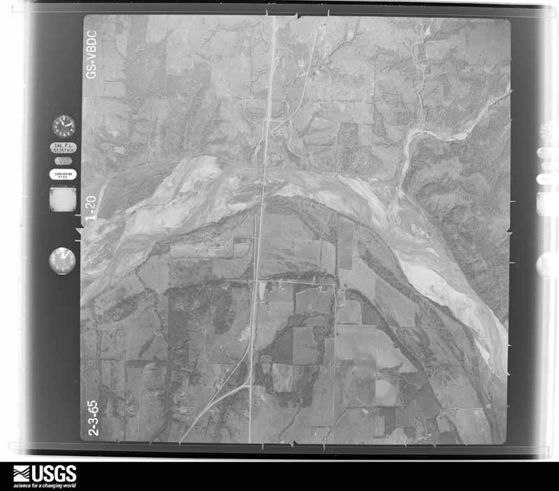
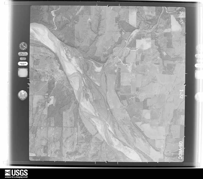
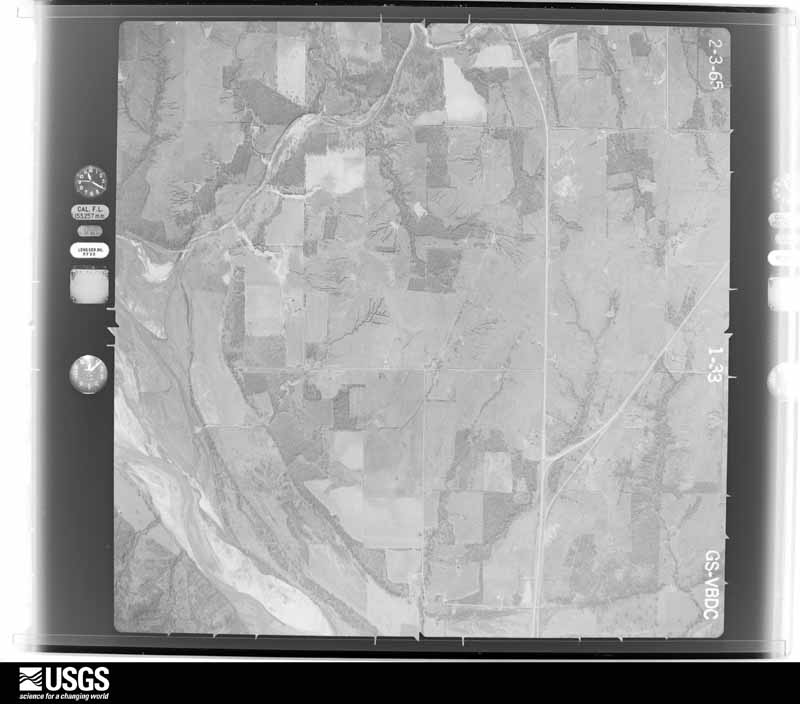
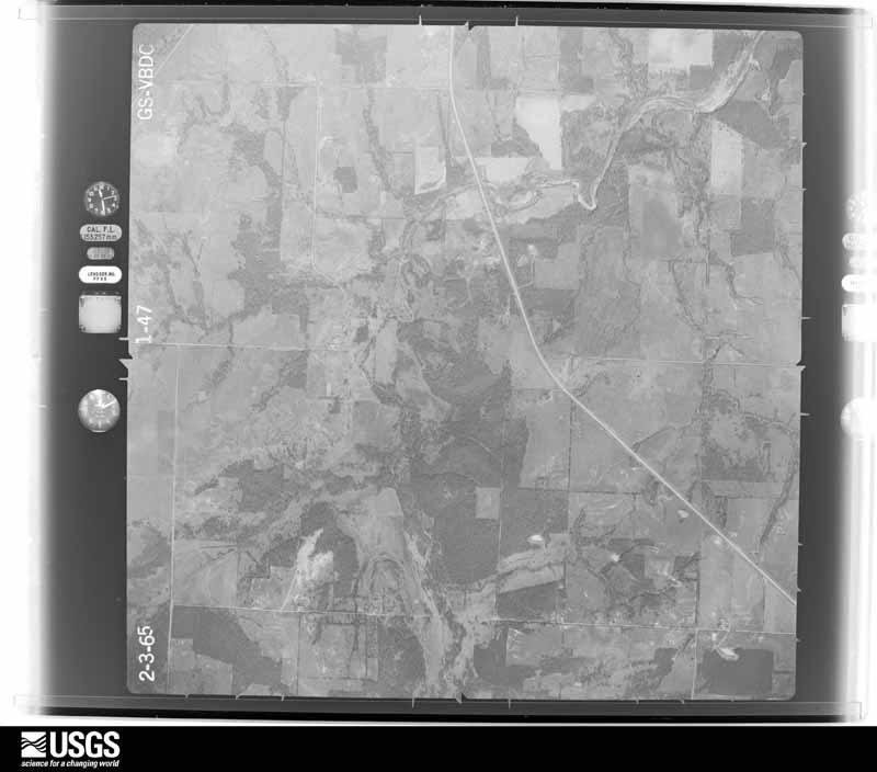
The thermometers that kept this county's weather, and the gages that measured the flow of its streams, as the federal records hold them. The extremes below are measured values from those records, not estimates.
Who lived here in 1950, one enumeration district at a time, as the Census Bureau described each district. Each row opens its official National Archives result, with Population Schedules and ED Maps available there.
Every wildfire the federal occurrence database records inside this county: 410 of them, burning about 22,111 acres. 29 started naturally and 61 were recorded as arson. Each settlement page carries the fires within five miles of it.
| Reported cause | Fires |
|---|---|
| Missing data/not specified/undetermined | 159 |
| Debris and open burning | 77 |
| Arson/incendiarism | 61 |
| Equipment and vehicle use | 39 |
| Natural | 29 |
| Power generation/transmission/distribution | 18 |
| Railroad operations and maintenance | 6 |
| Recreation and ceremony | 5 |
| Other causes | 4 |
| Fireworks | 4 |
| Smoking | 3 |
| Misuse of fire by a minor | 3 |
| Firearms and explosives use | 2 |
The five largest, by the area the report gives. 6 of them were set deliberately.
| Date | Cause | Size | Reported by | Name on the report |
|---|---|---|---|---|
| 11 March 2011 | Arson/incendiarism | 2,472 acres | Chickasaw Agency | WILDCAT SPRINGS |
| 15 February 1996 | Arson/incendiarism | 1,240 acres | Chickasaw Agency | THOMASRANC |
| 27 November 2005 | Missing data/not specified/undetermined | 900 acres | Chickasaw Agency | DALBERG |
| 19 February 2004 | Arson/incendiarism | 900 acres | Chickasaw Agency | LIGHTNINGR |
| 28 October 2003 | Debris and open burning | 840 acres | Chickasaw Agency | MORRIS |
| 15 February 1996 | Arson/incendiarism | 730 acres | Chickasaw Agency | THOMAS RAN |
| 13 February 1996 | Arson/incendiarism | 480 acres | Chickasaw Agency | HAPPY LAND |
| 15 February 1996 | Arson/incendiarism | 470 acres | Chickasaw Agency | LOVELADY |
Every settlement page carries the fires within five miles of it - see the settlement index below.
The NOAA Storm Events Database holds 795 reports for this county, causing 10 deaths, 94 injuries and about $35,488,430 in recorded property damage. Each settlement page carries the reports that name it.
| Kind of event | Reports |
|---|---|
| Hail | 400 |
| Thunderstorm Wind | 258 |
| Tornado | 73 |
| Flash Flood | 46 |
| Lightning | 11 |
| Flood | 5 |
| Funnel Cloud | 1 |
| Heavy Rain | 1 |
The most serious of them, by death, then injury, then recorded damage. The accounts are quoted exactly as the forecast office filed them.
| When | Event | Place named | Harm | What the report says |
|---|---|---|---|---|
| May 1959 | Tornado (F4) | not stated | 7 killed, 12 hurt, $250,000 | no account filed |
| March 1982 | Tornado (F3) | not stated | 1 killed, 36 hurt, $2,500,000 | no account filed |
| February 2012 | Thunderstorm Wind | Ada | 1 killed, 1 hurt | Information provided by a NWS Storm Survey team and local radar confirmed that a strong microburst occurred near the Happyland community. A strapped down, double-wide was destroyed by the intense winds, with debris scattered 100 to 150 yards. Unfortunately, two people were inside the mobile home when it was destroyed. |
| July 2012 | Lightning | Ada | 1 killed | A brief thunderstorm impacted Ada, Oklahoma just before midnight. No structural damage was reported, but one fatality occurred when a man was struck by lightning in the driveway of his home. |
| April 1973 | Tornado (F3) | not stated | 21 hurt, $2,500,000 | no account filed |
| May 1960 | Tornado (F3) | not stated | 6 hurt, $250,000 | no account filed |
| June 2007 | Flash Flood | Ada | 3 hurt, $1,000,000 | A pickup truck washed into the Bois D' Arc Creek. All three passengers were rescued. Two persons were injured and treated at the scene, while another person was injured and transported to a nearby hospital. A number of businesses and homes had standing water inside. One home was flooded in Roff. |
| July 2004 | Lightning | Ada | 3 hurt | Lightning injured 3 people at the corner of Mississippi and Arlington behind Chickasaw Nations Headquarters. The workers were standing in the back of a dump truck loading rocks. Lightning caused a hole 2 inches wide and 1 inch deep in the concrete near the right rear tire of the truck. |
| March 1991 | Tornado (F3) | not stated | 2 hurt, $2,500,000 | no account filed |
| October 2000 | Lightning | Ada | 2 hurt, $30,000 | Lightning struck Polo's Embassy Restaurant on West Main Street, causing a fire. Two people were treated for smoke inhalation at a nearby hospital and released. |
| April 1968 | Tornado (F2) | not stated | 2 hurt, $25,000 | no account filed |
| July 1995 | Thunderstorm Wind | Ada | 2 hurt, $5,000 | Severe thunderstorms in central and southern Oklahoma produced hail as large as nickels and severe winds that resulted in two injuries. A woman and her son were injured when a tree fell onto their car two miles northwest of Ada. They were driving home when the incident occurred, and fortunately only suffered minor injuries from the broken glass. In northeastern Pauls Valley in Garvin County, severe thunderstorm winds also blew a six-foot Pecan tree down through the roof of a home and felled several smaller trees as well. In Pontotoc County numerous shingles were blown away and part of a roof collapsed three miles northwest of Ada due to the severe winds. One mile southwest of Byng (also in Pontotoc County) a small tree was downed by winds estimated at 65 mph. Severe thunderstorm wind speeds up to 72 mph were reported one mile northeast of Rush Springs in Grady County. Nickel-sized hail was reported near Cement in Caddo County and in Ada in Pontotoc County. |
| March 2025 | Tornado (EF1) | Ada | 1 hurt, $10,000,000 | The Ada Tornado developed on the west side of Ada just west of State Highway 1 near Reeves Road, and moved generally east-northeast down Main Street through central and dissipated on the northeast side of Ada northeast of East Central University and Arlington Center. Numerous homes, businesses, trees and utility poles were damaged along the path. A motel suffered significant roof damage along Main Street. An apartment complex northeast of East Central University received roof damage. One person was injured outside of the motel when the tornado hit. |
| April 2025 | Tornado (EF1) | Ada | 1 hurt, $750,000 | For the second time this spring, a tornado struck the city of Ada. This tornado began on the north side of Ada, near the intersection of North Broadway Avenue and NW JA Richardson Loop. Several homes suffered roof damage along Cottage street as the tornado moved east and northeast. EF1 damage was noted at a hotel along the Loop, where damage to roofs and awnings were observed and one person was injured. The tornado moved across the North Hills Shopping Center, damaging several businesses before moving to the northeast and dissipating northeast of Ada. |
| August 2011 | Thunderstorm Wind | Allen | 1 hurt, $4,000 | A manufactured home a quarter mile north of Allen was overturned. Three residents were inside, with one being injured slightly. Several sheet metal buildings were damaged. Several power poles/lines were downed. Monetary damages were estimated. |
| May 1992 | Thunderstorm Wind | not stated | 1 hurt | no account filed |
| April 1994 | Hail | Ada | $5,000,000 | no account filed |
| February 1961 | Tornado (F3) | not stated | $2,500,000 | no account filed |
| March 2024 | Hail | Ada | $2,000,000 | Numerous images from various sources showing hailstones of up to 4-inches in diameter across the community of Ada. Widespread damage to vehicles and buildings reported. Time of event is estimated, with majority of hailfall occurring between 1650-1700 LST. |
| July 1995 | Thunderstorm Wind | Ada | $500,000 | no account filed |
| April 1994 | Hail | not stated | $500,000 | no account filed |
| April 1994 | Hail | Ada | $500,000 | no account filed |
| April 1994 | Hail | Ada | $500,000 | no account filed |
| March 2025 | Tornado (EF1) | Stonewall | $300,000 | The Union Valley Tornado developed just east of State Highway 3 along County Road E1600 and moved east-northeast. One home received roof damage, the Union Valley Volunteer Fire Station was heavily damaged and numerous trees were damaged along the path. The tornado dissipated soon after hitting the Union Valley fire station. |
| May 2003 | Thunderstorm Wind | Ada | $300,000 | Estimated straight-line wind gusts ranging from 60 to 70 mph caused sporadic damage along a path approximately 17 miles long, with Ada receiving the worst damage. One home was damaged in Latta, which is 2.5 miles SW of Ada. The Red Cross reported 85 homes damaged along the path with lots of shingle and roof damage. Several businesses in Ada were also damaged. Numerous trees were damaged with large limbs downed near the courthouse. A nursing home lost a portion of its roof. Several garage doors were blown in across the area. Some debris from factories in Ada were found approximately 4 miles east of town. |
| April 2024 | Tornado (EF1) | Roff | $250,000 | After the Sulphur tornado dissipated, the storm produced another tornado in western Pontotoc County from west of Roff north and then northeast before it dissipated northwest of Fitzhugh. At least two mobile homes were rolled off of their foundation and at least one barn had roof damage. Trees and power poles were also damaged by this tornado along this path. |
| March 1991 | Tornado (F1) | not stated | $250,000 | no account filed |
| April 1971 | Tornado (F2) | not stated | $250,000 | no account filed |
| September 1954 | Tornado (F2) | not stated | $250,000 | no account filed |
| March 2025 | Tornado (EF0) | Fittstown | $200,000 | The Fittstown tornado developed just southwest of the Fittstown mesonet station about 7 miles southwest of the town of Fittstown. (The Fittstown mesonet station measured an 87 mph is listed separately) An RV was blown over and an outbuilding damaged near the beginning of the path. The tornado moved northeast damaging trees and producing shingle damage to a home. One other outbuilding was damaged just west of US Highway 377 as the tornado was dissipating. |
| June 2004 | Thunderstorm Wind | Ada | $150,000 | Wind gusts destroyed a 40 foot by 175 foot lumber warehouse (metal/outbuilding structure) at the Ace Hardware in town. |
| May 2025 | Thunderstorm Wind | Ada | $100,000 | Thunderstorm wind damage occurred in the community of Pickett, including a destroyed outbuilding and a large uprooted tree that landed on the corner of a house. The event time is estimated from radar observations. |
| October 2021 | Tornado (EF1) | Ada | $100,000 | This tornado developed west of Ada southwest of County Roads 1540 and 3530. The tornado produced damage to barns along County Road 3350 and then EF1 damage to metal buildings at a tractor dealer just before crossing State Highway 19. It continued to produce tree damage in areas northwest and north of Ada. A few homes received roof or garage door or patio damage east of US-377 between Ada and Byng, and in the southeast portion of Byng. The tornado dissipated just east of the city limits of Byng. |
| March 2025 | Tornado (EF1) | Allen | $75,000 | The Allen Tornado initially developed about 4.5 miles southwest of Allen where a mobile home, a barn and trees were damaged. The tornado moved northeast and produced home and other buildings on the north side of Allen. |
| May 2025 | Tornado (EF1) | Vanoss | $75,000 | This tornado developed near the community of Vanoss and moved southeast. A home suffered significant roof damage along County Road 3450. Scattered damage was observed by emergency management personnel southeast to near the intersection of County Roads 3470 and 1570. |
| March 2004 | Thunderstorm Wind | Ada | $75,000 | Power poles were downed. Several small sheds were destroyed. Brooke Trailer Park sustained some damage along with several signs across town. |
| May 2013 | Thunderstorm Wind | Stonewall | $70,000 | A dozen power lines were downed, along with large tree limbs. Time estimated from radar. |
| April 2001 | Tornado (F2) | Lula | $70,000 | This is the 3rd and final segment to the tornado which formed in Pontotoc County at 0340 CST, moved through Coal County, then re-entered Pontotoc County at 0356 CST. Several additional power transmission towers were downed across this area, along with substantial damage to a power substation about 1 mile southwest of Lula. |
| April 1996 | Lightning | Ada | $70,000 | no account filed |
| May 2013 | Thunderstorm Wind | Ada | $60,000 | One trailer collapsed and had its roof blown off at Sandy Creek Trailer Park. Seven other trailers also were damaged. |
| September 2002 | Thunderstorm Wind | Ada | $60,000 | Severe straight-line winds produced an intermittent path of damage on the east side of Ada that was about four miles long and three-quarters of a mile wide, and extended from northwest through southeast. The roof of a dairy barn was blown off. Several barns and outbuildings were destroyed, and dozens of trees were blown over. |
| April 2025 | Tornado (EF1) | Byng | $50,000 | A barn was damaged and a home had windows blown in by a tornado southwest of the community of Oakman. |
| May 1995 | Thunderstorm Wind | Ada | $50,000 | no account filed |
| June 1995 | Thunderstorm Wind | Allen | $50,000 | no account filed |
| April 1994 | Thunderstorm Wind | Ada | $50,000 | no account filed |
| April 1994 | Thunderstorm Wind | Ada | $50,000 | no account filed |
| September 1993 | Thunderstorm Wind | N Ada | $50,000 | no account filed |
| April 2001 | Tornado (F2) | Jesse | $45,000 | This tornado formed 2.5 miles southwest of Jesse in Pontotoc County and tracked northeastward for 15 miles, crossed through northwest Coal County, then re-entered eastern Pontotoc County before dissipating. A mobile home and barn were destroyed, and power poles were downed 1.5 miles west of Jesse. The mobile home was picked up, thrown northward over a fence and completely broken apart with contents spread over a half-mile area. About 1 mile northwest of Jesse, a barn was destroyed; oil storage tanks were overturned and smashed; an oil pumping unit was overturned and torn apart; power poles were downed, and fences were blown over. |
| May 2015 | Flash Flood | Ada | $40,000 | Cars stalled due to flood waters. Report came from MPING app. |
| June 1997 | Thunderstorm Wind | Ada | $40,000 | One mobile home and ten barns were destroyed by severe thunderstorm winds. Numerous trees were blown down, blocking several roads. |
| November 1998 | Thunderstorm Wind | Ada | $35,000 | no account filed |
| July 2023 | Thunderstorm Wind | Byng | $30,000 | Numerous trees and powerlines down in and around the community of Byng. Two homes and two barns, along with the Byng City Hall/Fire Department building, received varying degrees of roof damage. Time is radar estimated. |
| March 2004 | Thunderstorm Wind | Roff | $30,000 | Several roofs were damaged. A tree was also downed. |
| May 2025 | Flood | Vanoss | $25,000 | Roadway flooding occurred near the intersection of County Road 3460 and County Road 1500, including at least two residential culverts washed out. The event time is approximate. |
| June 2025 | Thunderstorm Wind | Roff | $25,000 | Thunderstorm winds heavily damaged a barn and snapped trees in an area west of Roff. |
| June 2003 | Thunderstorm Wind | Ada | $25,000 | Several trees were downed. One tree fell on a car. |
| September 1999 | Lightning | Oakman | $25,000 | Lightning struck two oil tank batteries, igniting a fire. |
| June 1998 | Thunderstorm Wind | Roff | $25,000 | Severe thunderstorm winds tore the roof off a 100-year-old historic bank and partially unroofed the high school gymnasium. |
| May 1992 | Tornado (F2) | not stated | $25,000 | no account filed |
| May 1992 | Tornado (F2) | not stated | $25,000 | no account filed |
The Survey's mineral resources record lists 92 workings inside this county. 10 still produce and 82 are closed or unrecorded. Each settlement page carries the workings within five miles of it.
| Commodity | Workings |
|---|---|
| Sand and Gravel, Construction | 56 |
| Clay | 18 |
| Stone, Crushed/Broken | 13 |
| Copper | 2 |
| Silica | 1 |
| Limestone, Dimension | 1 |
| Stone, Crushed/Broken, Calcium | 1 |
| Clay, Sand and Gravel, Construction | 1 |
The least common of them first, because a county's hundredth gravel pit says nothing its first ten did not.
| Where | Site | Commodity | Status | Recorded |
|---|---|---|---|---|
| Lawrence Cement Plant | Clay, Stone, Crushed/Broken, Calcium | Producer | ||
| Mid Continent Glass Co Sand Pit | Silica | Producer | ||
| Two Unnamed Sand & Shale Pits | Clay, Sand and Gravel, Construction | Past Producer | ||
| Wigley Quarry | Limestone, Dimension | Producer | ||
| Ada West | Copper | Occurrence | 1973 | |
| Lewis Spring | Copper | Occurrence | 1929 | |
| Ada Qy & Plt | Stone, Crushed/Broken | Producer | ||
| Roff Pit & Plant | Stone, Crushed/Broken | Producer | ||
| Two Unnamed Limestone Pits | Stone, Crushed/Broken | Past Producer | ||
| Unknown Limestone Pit | Stone, Crushed/Broken | Past Producer | ||
| Unknown Limestone Pit | Stone, Crushed/Broken | Past Producer | ||
| Unknown Limestone Pit | Stone, Crushed/Broken | Past Producer | ||
| Unknown Limestone Pit | Stone, Crushed/Broken | Past Producer | ||
| Unknown Limestone Pit | Stone, Crushed/Broken | Past Producer | ||
| Unknown Limestone Pit | Stone, Crushed/Broken | Past Producer | ||
| Unknown Limestone Pit | Stone, Crushed/Broken | Past Producer | ||
| Unknown Limestone Pit | Stone, Crushed/Broken | Past Producer | ||
| Unknown Limestone Pit | Stone, Crushed/Broken | Past Producer | ||
| Unknown Limestone Pit | Stone, Crushed/Broken | Past Producer | ||
| Superior Clay Products Shale Pit | Clay | Producer | ||
| Two Unnamed Shale Pits | Clay | Past Producer | ||
| Two Unnamed Shale Pits | Clay | Producer | ||
| Unknown Sand and Gravel Pit | Clay | Past Producer | ||
| Unknown Shale Pit | Clay | Past Producer | ||
| Unknown Shale Pit | Clay | Past Producer | ||
| Unknown Shale Pit | Clay | Producer | ||
| Unknown Shale Pit | Clay | Past Producer | ||
| Unknown Shale Pit | Clay | Past Producer | ||
| Unknown Shale Pit | Clay | Past Producer | ||
| Unknown Shale Pit | Clay | Past Producer | ||
| Unknown Shale Pit | Clay | Past Producer | ||
| Unknown Shale Pit | Clay | Past Producer | ||
| Unknown Shale Pit | Clay | Past Producer | ||
| Unknown Shale Pit | Clay | Past Producer | ||
| Unknown Shale Pit | Clay | Past Producer | ||
| Unknown Shale Pit | Clay | Past Producer | ||
| Four Unnamed Sand & Gravel Pits | Sand and Gravel, Construction | Past Producer | ||
| Mid Continent Glass Plant & Pit | Sand and Gravel, Construction | Producer | ||
| Mobile Materals Gravel Pit | Sand and Gravel, Construction | Producer | ||
| Three Unnamed Sand & Gravel Pits | Sand and Gravel, Construction | Past Producer | ||
| Three Unnamed Sand & Gravel Pits | Sand and Gravel, Construction | Past Producer | ||
| Three Unnamed Sand & Gravel Pits | Sand and Gravel, Construction | Past Producer | ||
| Two Unnamed Sand & Gravel Pits | Sand and Gravel, Construction | Past Producer | ||
| Two Unnamed Sand & Gravel Pits | Sand and Gravel, Construction | Past Producer | ||
| Unknown Sand Pit | Sand and Gravel, Construction | Past Producer | ||
| Unknown Sand Pit | Sand and Gravel, Construction | Past Producer | ||
| Unknown Sand Pit | Sand and Gravel, Construction | Past Producer | ||
| Unknown Sand and Gravel Pit | Sand and Gravel, Construction | Past Producer | ||
| Unknown Sand and Gravel Pit | Sand and Gravel, Construction | Past Producer | ||
| Unknown Sand and Gravel Pit | Sand and Gravel, Construction | Past Producer | ||
| Unknown Sand and Gravel Pit | Sand and Gravel, Construction | Past Producer | ||
| Unknown Sand and Gravel Pit | Sand and Gravel, Construction | Past Producer | ||
| Unknown Sand and Gravel Pit | Sand and Gravel, Construction | Past Producer | ||
| Unknown Sand and Gravel Pit | Sand and Gravel, Construction | Past Producer | ||
| Unknown Sand and Gravel Pit | Sand and Gravel, Construction | Past Producer | ||
| Unknown Sand and Gravel Pit | Sand and Gravel, Construction | Past Producer | ||
| Unknown Sand and Gravel Pit | Sand and Gravel, Construction | Past Producer | ||
| Unknown Sand and Gravel Pit | Sand and Gravel, Construction | Past Producer | ||
| Unknown Sand and Gravel Pit | Sand and Gravel, Construction | Past Producer | ||
| Unknown Sand and Gravel Pit | Sand and Gravel, Construction | Past Producer | ||
| Unknown Sand and Gravel Pit | Sand and Gravel, Construction | Past Producer | ||
| Unknown Sand and Gravel Pit | Sand and Gravel, Construction | Past Producer | ||
| Unknown Sand and Gravel Pit | Sand and Gravel, Construction | Past Producer | ||
| Unknown Sand and Gravel Pit | Sand and Gravel, Construction | Past Producer | ||
| Unknown Sand and Gravel Pit | Sand and Gravel, Construction | Past Producer | ||
| Unknown Sand and Gravel Pit | Sand and Gravel, Construction | Past Producer | ||
| Unknown Sand and Gravel Pit | Sand and Gravel, Construction | Past Producer | ||
| Unknown Sand and Gravel Pit | Sand and Gravel, Construction | Past Producer | ||
| Unknown Sand and Gravel Pit | Sand and Gravel, Construction | Past Producer | ||
| Unknown Sand and Gravel Pit | Sand and Gravel, Construction | Past Producer | ||
| Unknown Sand and Gravel Pit | Sand and Gravel, Construction | Past Producer | ||
| Unknown Sand and Gravel Pit | Sand and Gravel, Construction | Past Producer | ||
| Unknown Sand and Gravel Pit | Sand and Gravel, Construction | Past Producer | ||
| Unknown Sand and Gravel Pit | Sand and Gravel, Construction | Past Producer | ||
| Unknown Sand and Gravel Pit | Sand and Gravel, Construction | Past Producer | ||
| Unknown Sand and Gravel Pit | Sand and Gravel, Construction | Past Producer | ||
| Unknown Sand and Gravel Pit | Sand and Gravel, Construction | Past Producer | ||
| Unknown Sand and Gravel Pit | Sand and Gravel, Construction | Past Producer | ||
| Unknown Sand and Gravel Pit | Sand and Gravel, Construction | Past Producer | ||
| Unknown Sand and Gravel Pit | Sand and Gravel, Construction | Past Producer | ||
| Unknown Sand and Gravel Pit | Sand and Gravel, Construction | Past Producer | ||
| Unknown Sand and Gravel Pit | Sand and Gravel, Construction | Past Producer | ||
| Unknown Sand and Gravel Pit | Sand and Gravel, Construction | Past Producer | ||
| Unknown Sand and Gravel Pit | Sand and Gravel, Construction | Past Producer | ||
| Unknown Sand and Gravel Pit | Sand and Gravel, Construction | Past Producer | ||
| Unknown Sand and Gravel Pit | Sand and Gravel, Construction | Past Producer | ||
| Unknown Sand and Gravel Pit | Sand and Gravel, Construction | Past Producer | ||
| Unknown Sand and Gravel Pit | Sand and Gravel, Construction | Past Producer | ||
| Unknown Sand and Gravel Pit | Sand and Gravel, Construction | Past Producer | ||
| Unknown Sand and Gravel Pit | Sand and Gravel, Construction | Past Producer | ||
| Unknown Sand and Gravel Pit | Sand and Gravel, Construction | Past Producer | ||
| Unknown Sand and Gravel Pit | Sand and Gravel, Construction | Past Producer |
Named settlements recorded in the Geographic Names Information System, each with the topographic sheets covering it. Villages, hamlets and abandoned places alike. Each is shown with the nearest named watercourse or landform and the survey quadrangle it falls on. The 4 places that were also surveyed for fire insurance come first, with the number of atlases and photographs held for them.
Northeast Pontotoc census division · 74844 · Francis quadrangle
13 sheets, 1901 to 1990
Fire insurance: 3 atlases
Southwest Pontotoc census division · 74865 · Roff North quadrangle
13 sheets, 1901 to 1990
Fire insurance: 6 atlases
Southeast Pontotoc census division · 74871 · On Owl Creek · Stonewall quadrangle
12 sheets, 1901 to 1990
Fire insurance: 4 atlases
Northeast Pontotoc census division · 74825 · On Town Branch · Allen quadrangle
13 sheets, 1896 to 1990
Southeast Pontotoc census division · 74871 · On Owl Creek · Stonewall quadrangle
12 sheets, 1901 to 1990
Southwest Pontotoc census division · 74865 · Hart quadrangle
12 sheets, 1901 to 1990
No longer a settlement
South Central Pontotoc census division · 74842 · Fittstown quadrangle
12 sheets, 1901 to 1990
Southwest Pontotoc census division · 74843 · Near Chimney Hill · Roff North quadrangle
13 sheets, 1901 to 1990
South Central Pontotoc census division · 74842 · Fittstown quadrangle
12 sheets, 1901 to 1990
Southeast Pontotoc census division · 74871 · On Bois d'Arc Creek · Stonewall quadrangle
12 sheets, 1901 to 1990
South Central Pontotoc census division · 74871 · On Walnut Creek · Harden City quadrangle
11 sheets, 1901 to 1990
South Central Pontotoc census division · 74843 · Near Chimney Hill · Ahloso quadrangle
12 sheets, 1901 to 1990
Southeast Pontotoc census division · 74572 · On Bully Creek · Lula quadrangle
14 sheets, 1896 to 1990
Southeast Pontotoc census division · 74871 · On Rhoda Creek · Stonewall quadrangle
12 sheets, 1901 to 1990
Northwest Pontotoc census division · 74820 · On Burris Creek · Vanoss quadrangle
12 sheets, 1901 to 1990
The vanished settlements of Pontotoc County: the places named above that are no longer on the map.
16 topographic sheets and 7 fire insurance atlases, 1902 to 1948
13 topographic sheets and 6 fire insurance atlases, 1902 to 1928
12 topographic sheets and 4 fire insurance atlases, 1904 to 1918
13 topographic sheets and 3 fire insurance atlases, 1908 to 1915